Well I didn’t listen to my own advice: If the Google Street-view car didn’t go there, then think twice about riding a road bike there.
Planning The Route The design of this route was inspired by the weather forecast. There was to be a ‘fresh north-easterly breeze’. That translated to winds of 15-22 mph with 30 mph gusts. So I decided I would ride straight into the wind for the first part of the journey and have the wind blow my tired body home. Looking on the map I saw that The Isle of Sheppey lay NE of me so it became the target destination. The first part of the route would be the same as the beginning of this one, except I decided to cut out the bit where I would have to ride through a field, opening and closing gates; little did I know what was to come later! I also cut out the footbridge across the motorway, which would have been hair-raising on a windy day!
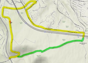 Furthermore I decided not to take the usual route up Bluebell Hill, (Warren Road, in yellow, steep), but chose instead to use Lower Warren Road / Bell Lane (in green) which would shave 1.5 miles off the journey. This was obviously even steeper than Warren Road, rising at a rate of 825 feet per mile, which is way steeper than my guideline 500 ft/ml. And I couldn’t tell what the road was like because the Google street-view car hadn’t been there! I thought I’d take a chance.
The rest of the route aimed directly for Sheppey, and I would be passing through loads of places I had never been: Farthing Corner, Hartlip, Breach, Lower Halstow, eventually leading to the old bridge across to the island. Once on the island I would do a quick clockwise circuit taking in a ‘road’ through the marshes to the south. It looked like there were a couple of farms on this road so I assumed that it would be a rough track. Again, the GSV car hadn’t deigned to go there so I had no idea was it was actually like. I imagined it to be a peaceful country lane; I could see from the map that there were no houses there – that should have rang alarm bells. The route home from Sheppey took the most direct route I could while avoiding the built-up parts of Maidstone.
The Ride It was a beautiful sunny day. But there was that ‘fresh’ wind. It was supposed to warm up later so I wore a short-sleeved jersey. A bowl of porridge for breakfast was supplemented en route with a banana, a couple of slices of fruit loaf and a couple of energy bars. I took 2 bidons of isotonic juice. The first part of the ride went as expected. The path through the woods north of Barming wasn’t too muddy. In Aylesford I met a group of cyclists on the old bridge; it turned out they were headed for Bluebell Hill as well. I wondered about asking one of them if they knew what Lower Warren Road was like. But I didn’t, and 15 minutes later I found out for myself anyway.
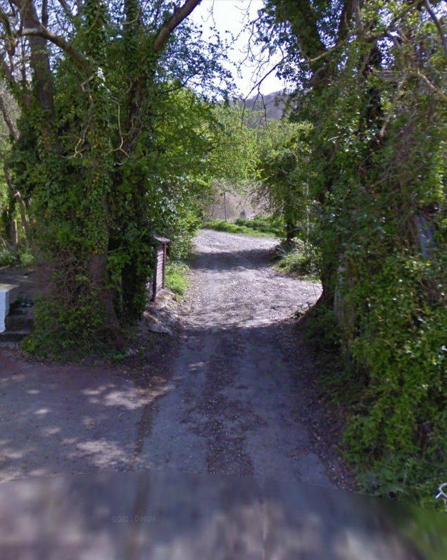
When somewhere has ‘Road’ or ‘Lane’ in its name you expect it to be at least traversable by road bike, and this is what I expected of Lower Warren ‘Road’ leading to Bell ‘Lane’. However, after I turned that bend shown in the photo above, the path worsened, and narrowed, and got steeper. Basically it degenerated into what I can only describe as a ‘gulley’ through the woods up the side of the hill. It was about 6 feet wide with steep sides. The surface had deep undulations and was strewn with rocks and stones making it almost impossible to ride on. Road my arse!
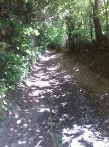 Large stones and rocks just spun out from under my wheels as I tried to ride over them. There was just no grip. I managed to keep going for a couple of hundred metres until a particularly rough bit forced me to stop. I attempted to get back on, but the surface, combined with the severe gradient (must have been 20% at least), made it impossible. I ended up walking the rest of the way (hangs head in shame). Even that was really difficult because my feet could get no proper grip. I’m sure that even a mountain bike couldn’t get up there (I hope!).
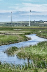
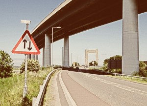 The rest of the ride to Sheppey was straightforward. The wind was constantly in my face and I managed to average 15 mph. Once I was on the island the wind seemed even stronger and I couldn’t wait until the route started turning back so I could have the wind behind me. I went past Sheppey prison, which is just one huge slab of concrete. I stopped by a field that had two huge wind-turbines in it. The gate was slightly open and I was sorely tempted to ride up to right underneath the massive spinning blades (did I mention it was windy?), but decided against it – they were really impressive this close up. I set off again and soon the route took a turn for the worse.
My GPS took me off the nice smooth tarmac onto a rough track, heading towards a farm. At this point I hadn’t seen a single person for miles. I went through a gate and about a mile later rode past the farm, which was just a collection of large empty buildings. The landscape was flat and featureless and totally deserted. The surface of the track was poor, a mixture of gravel, grass and embedded rocks and bricks.
I was really concerned that I had totally the wrong tyres for this sort of surface and hoped I wouldn’t get a puncture. Another gate; this time the main gate was padlocked but the pedestrian gate to the side was unlocked. Then another gate; this time the whole gate was padlocked so I lifted my bike over and climbed over. Now the farm buildings had almost disappeared, miles away in the distance behind me and I was out in the middle of nowhere. I didn’t see any signs to actually say that I wasn’t allowed to be there; there was one sign saying something about the land being managed by DEFRA.
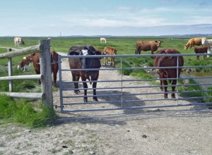
It was impossible to make out in the distance which way the path led but I could tell from my Garmin that the route veered to the right up ahead, and when I looked in that direction I saw a herd of cows. When I eventually got there I found that they were guarding yet another gate that I needed to get through. I cycled right up to the gate at speed, hoping they would be freaked-out by this quick-moving object and back away. They didn’t budge an inch. They were huge and there were young among them. I got off my bike and ate a bit of fruit loaf while I pondered the situation. I had come too far to turn back now.
After a few minutes I approached the gate and shouted at the herd, waving my arms about. Grumpily they slowly backed away and didn’t seem particularly bothered by me after that. Once they had moved back 20 feet or so I opened the gate, wheeled my bike through and then had to turn my back on them while I frantically tried to get the chain back round the gate-post as quickly as I could. I jumped on my bike and rode cautiously through them without any further incident.
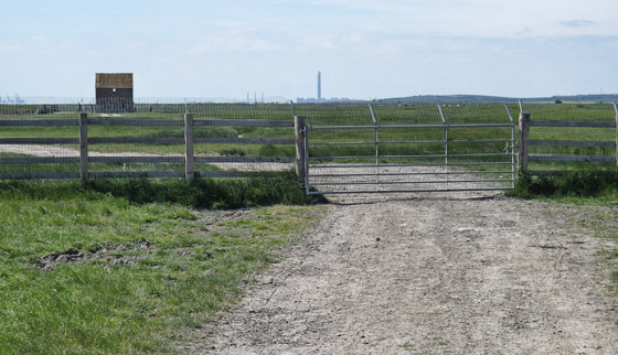
It wasn’t long before I came to another gate…
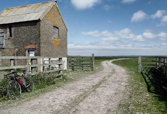
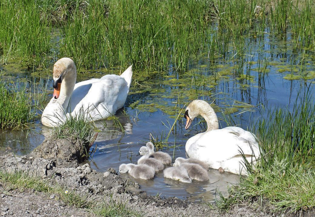
All I had for company was the constant wind and various unrecognised birds swooping and calling above the grassland. It was so deserted I imagined I was on some post-apocalyptic version of Earth.
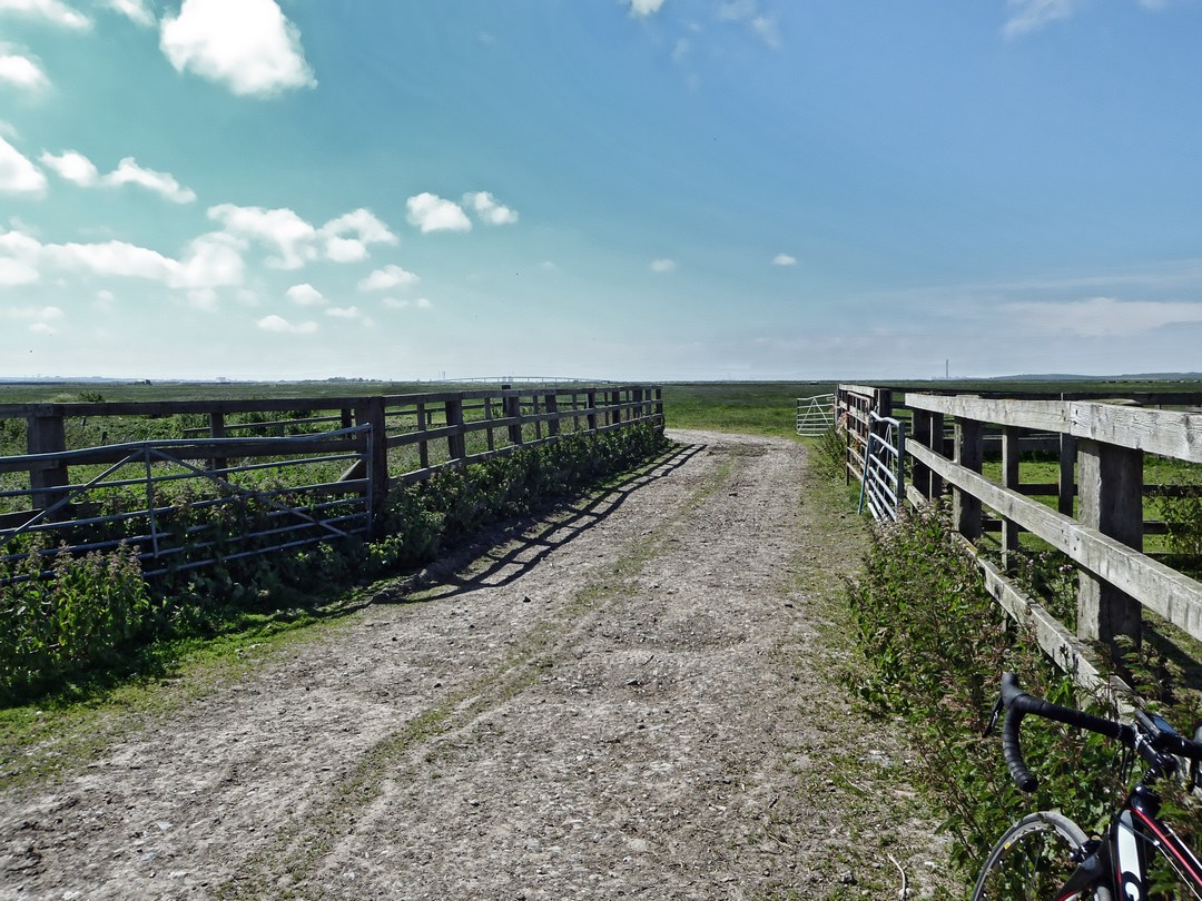
The rest of this off-road excursion was more of the same. Interesting wildlife, more gates, several cattle grids and lots of wide-open marshland.
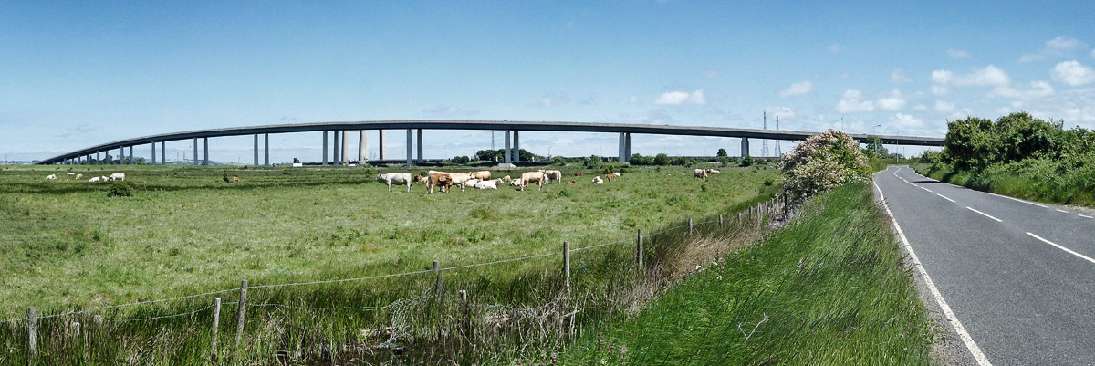
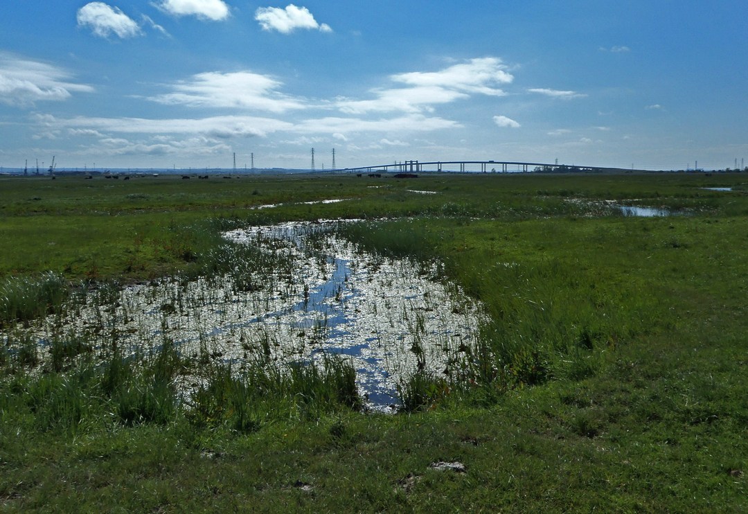
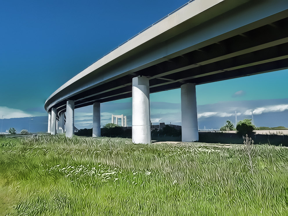
The bridge, ever-present on the horizon ahead, gradually got bigger
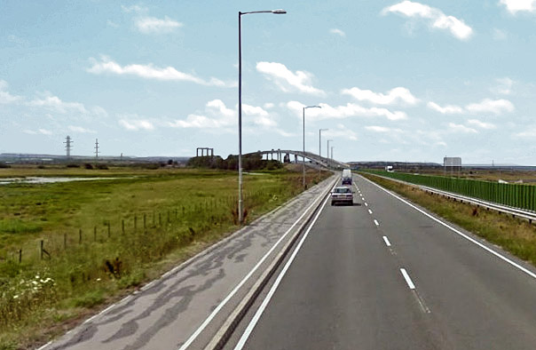
After seven miles of Paris-Roubaix-style pavé, I was free. To get back onto a proper tarmac road was a revelation. I was on smooth road with the wind behind me! I averaged 22.5 mph to the old bridge.
The most notable thing about the journey back was that I was cold; uncomfortably so by the end. That north-easterly breeze and the relative lack of effort on this ride meant I hadn’t been able to warm up properly. Nearing the end I couldn’t wait for it to finish so that I could get warm; I don’t think I’ve experienced that before. I shouldn’t have worn my short-sleeved jersey. As the old saying goes
There’s no such thing as bad weather, just bad clothes
or something like that..
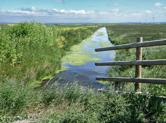
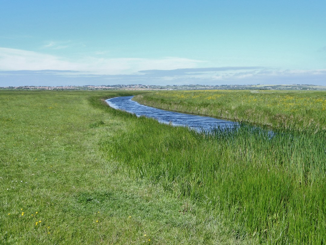
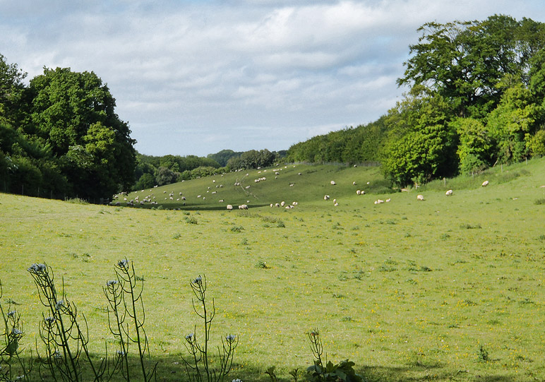
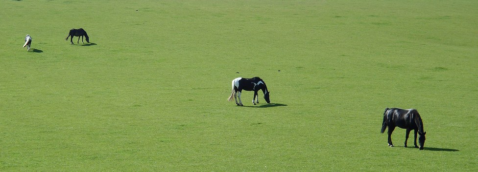
A few more pictures taken on the return journey:





A great and interesting blog. The only time you have to worry about cows is when they have calves as they can get quite aggressive protecting their offspring and even a bull is docile when running with cows.
Thanks for the comment. It’s a good job I didn’t know that before, else I might not have gone through that field. Some of those were quite young – or at least quite small – I’m no cow expert.
Great description – we did a Sheppey circular just yesterday and did it anticlockwise, starting with the nature reserve in the marshes. The rights of way past the prison complex seem a bit unclear, but we weren’t stopped and gates were open. Then a bit of main road before turning down to Harty ferry, lunch, then along the coast (through another reserve) to Shellness, then Leysdown, Minster, Sheerness and back down to the bridge before returning to Sittingbourne to catch the train back to London. We loved it, particularly for the variety of landscape and environs – the vastness of the open marshland vs the crowdedness of Leysdown promenade vs the seas of cars parked for import in the docklands south of Sheerness.
In Elmley reserve the warden asked us to keep close to the sea wall so as to reduce disturbance to birds during nesting season (march to june).
Hi, thanks for your comment. Sounds like you had a great day – your trip sounds more like a true ‘tour’ of the Isle compared to mine!