Distance: 39.8 miles. Elevation: 5509 ft.
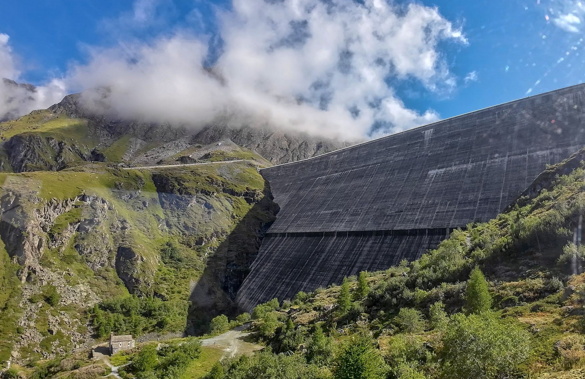
This ride was another of those featuring one of the many tributary valleys feeding down to the Rhône. This one, on the south side of the Rhône, brought me face-to-face with the tallest gravity dam in the world, La Barrage de la Grande Dixence. (When constructed, it was the world's tallest dam, but it was surpassed by the Nurek Dam of Tajikistan in 1972 (300 m). It remains the world's tallest 'gravity' dam.)
I left at 11:15 and recorded notes a various points along the way:
13:01 I've stopped here at 7.6 miles, not because I need a break but because I'm in danger of forgetting what there is to report. So the first bit of the journey was flat, along a road right next to the Rhône river towards Sion. Temperature was about 16°C, so a bit chilly. Then for the last couple of miles it's probably six degrees cooler still. I've got a base layer on and my hat under my helmet but arm warmers are available in my backpack as is my rain jacket. Once I reached Sion the road started climbing up the side of the valley the way they tend to, very steeply and consistently. I was in third gear and feeling good and managing to keep warm in the shade through the effort, but not getting too hot. That road was really busy, so not very pleasant. There was no cycle lane either.
Eventually that road stopped climbing up the side of the mountain and headed over along the side of the tributary valley and into a town called Vex. After that, there was much less traffic, but still some.
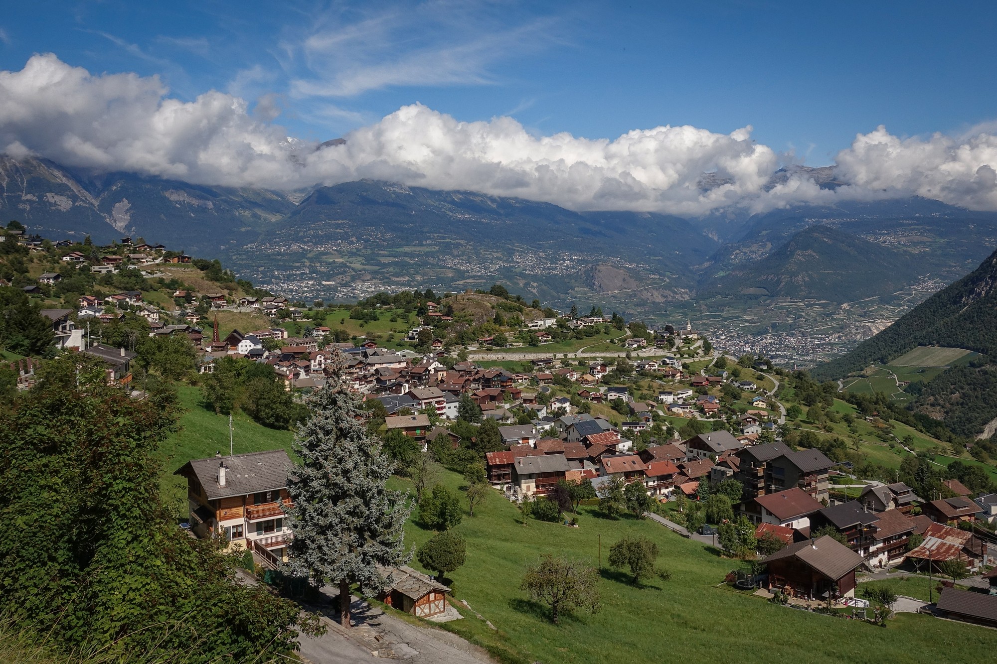
The gradient climbed steeply at first out of Vex but from then on was quite reasonable. The road surface has been absolutely immaculate. The section I'm on now is where the valleys diverge so the valley that was ahead of me has now gone off to the left (Vallée de la Borgne), and I'm going around to the right, which makes sense because I'm on the right side of the valley.
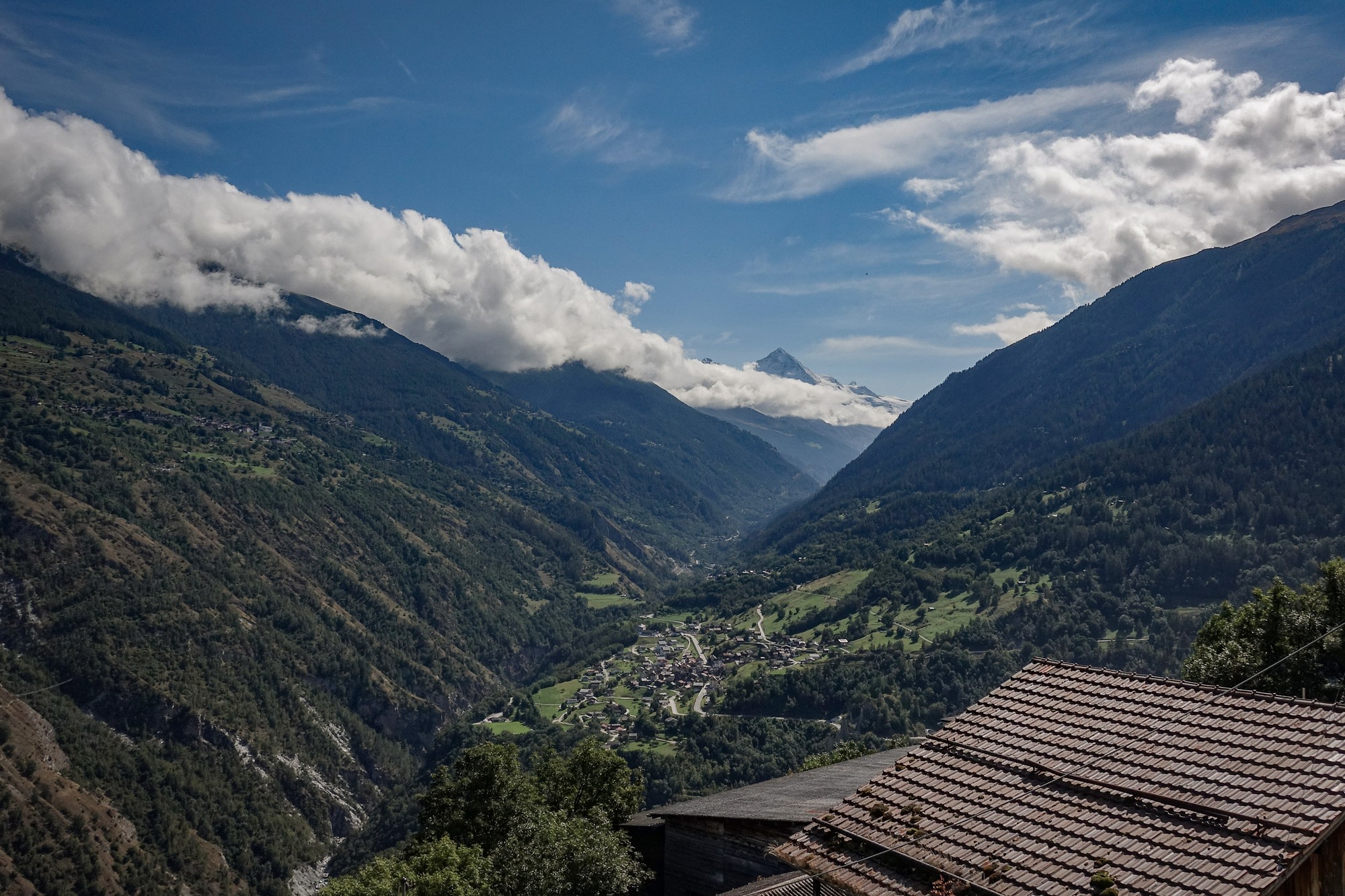
So some of the climbing has been in the sun and some in the shade but really the temperature has been perfect. I'm getting a bit of a headache that feels like an altitude headache but I'm not really that high I don't think. I've had my banana in two stages coming up the climb so far. When I took my backpack off I realised my back was soaking wet, which has happened on the last two rides, because I'm carrying this larger backpack than normal so I might have to revise that idea and use my other one which has got a mesh on the back of it so you don't sweat so much. When I picked up my rucksack I realised it was bone dry - I saw that it's made of a non-breathable plastic of some sort - so that's the problem.
Coming up the climb I was thinking of all the potential energy I'm storing up by virtue of my increased altitude, in the same way that the dam is holding back the potential energy of the head of water.
Most of that first climb, which I imagine was about 7.5%, I was doing in third gear so I must be feeling a bit fitter today and the lack of heat helps as well. I'm wondering when the dam might come into view as I wind my way around this valley.
14:07 I've stopped at 17 miles done. The dam has been in view for the last couple of miles.
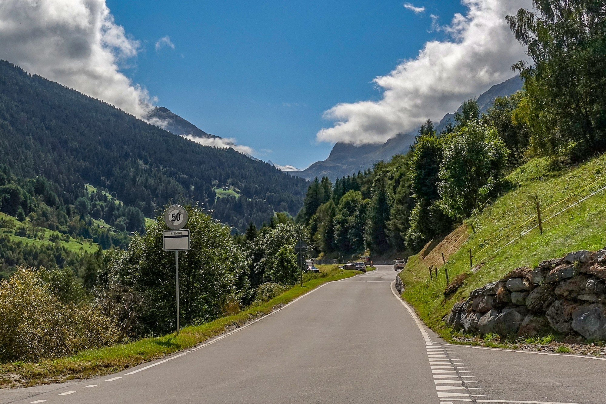
Since the last report there's been very little traffic - now there's just a car every 10 minutes or so. The road leveled out quite a bit and then for miles I was riding along the most deceptive false flat that I've seen. It looked very flat and yet I was in first gear, so that was quite weird. Then it leveled out again and after the dam came into view it has been undulating. Then it went down to a cluster of buildings. That's where I saw the sign that said how far there was to go and it was averaging 9% or something.
But since that sign, initially I was climbing in second gear, so probably 7%, then it went flat, then it actually descended slightly, so for this road to make up that 9% average there's going to have to be some hell of a gradient up ahead.
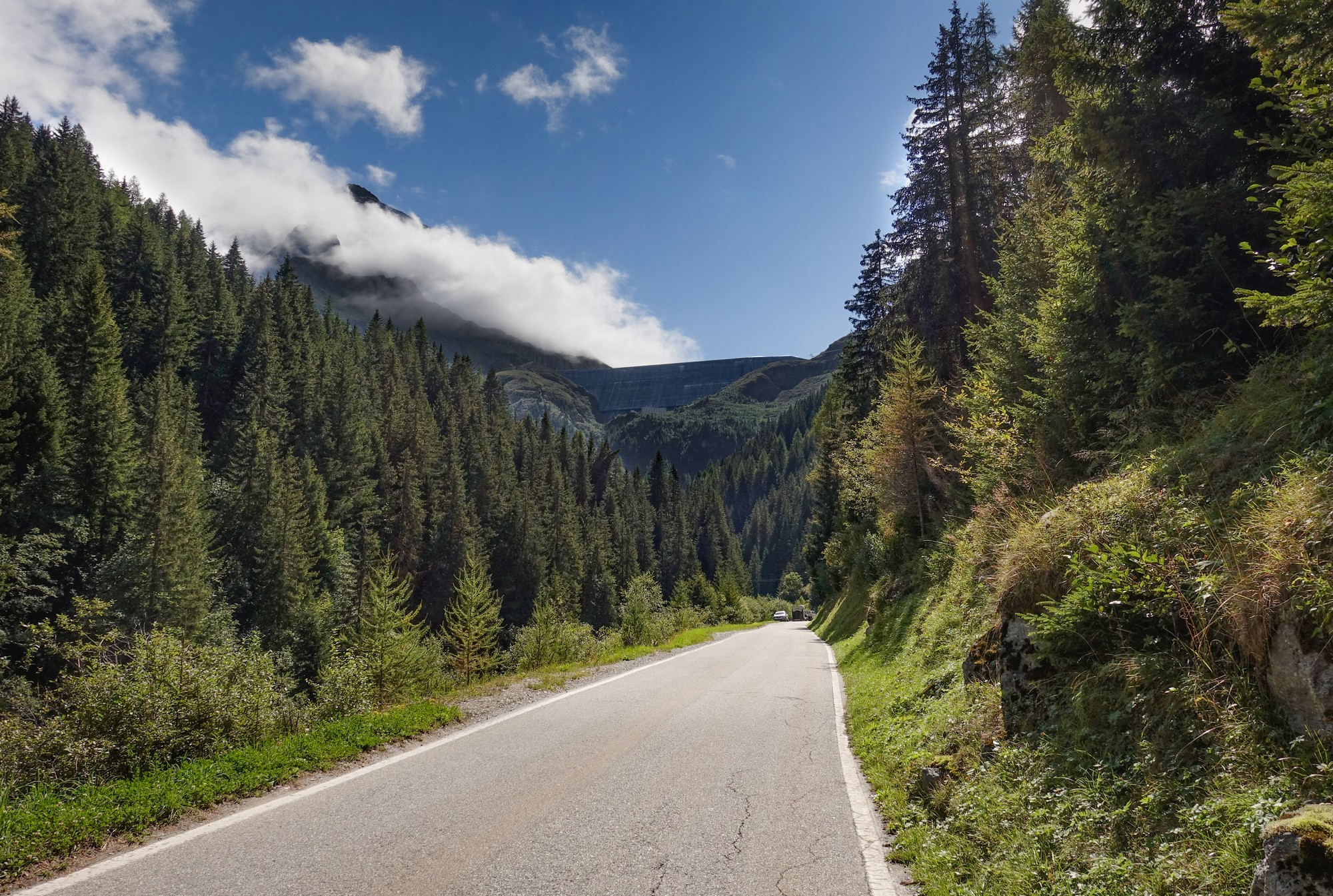
So I've just stopped here for half my sandwich and I might have an energy gel or maybe leave that until I'm really desperate.
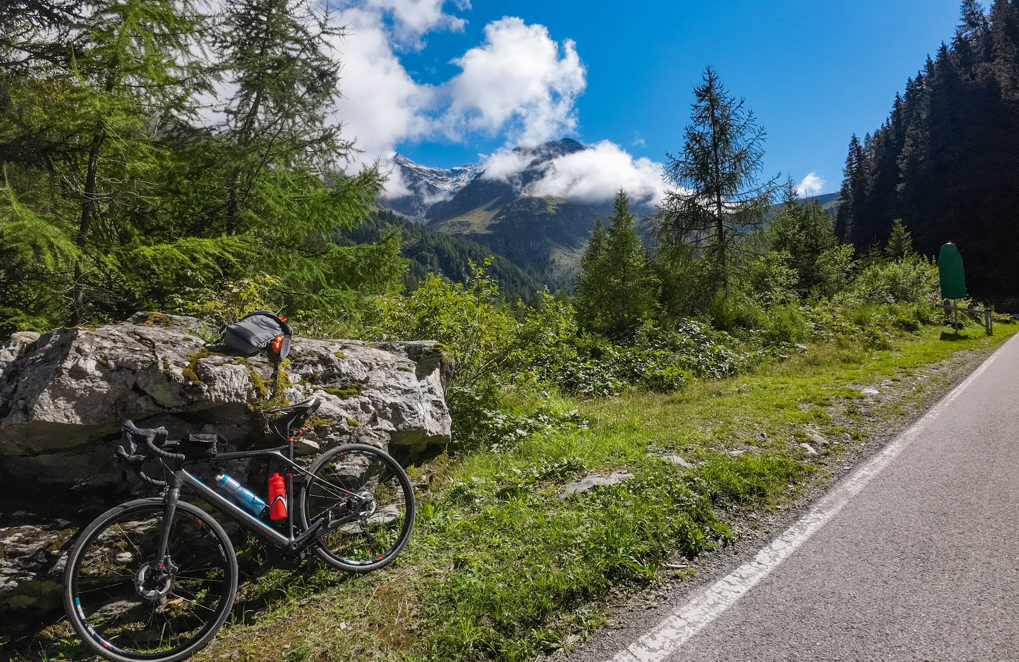
So I'm just going into this last bit. Also I don't know if that 9% includes the road which I've been told is closed that goes right up to the top of the dam, so I'll find all that out in a minute.
Final report from end of ride Well that last bit of climbing to the dam did make up the 9%. The final set of 14 hairpins leading right up to the dam were very challenging, all above 10%. I stopped a bit before the top to have a break and an energy gel.
Gradually I slogged my way up there. Eventually there came a short tunnel beyond which I came face-to-face with the huge wall of the dam.
I rode up to the visitor centre and beyond to the start of the gravel path to the top, which I already expected to be closed. And it was - prohibited to all vehicles, and even walkers were being sent up another way. I started walking up it but realised it would take ages and I only had my cycling shoes.
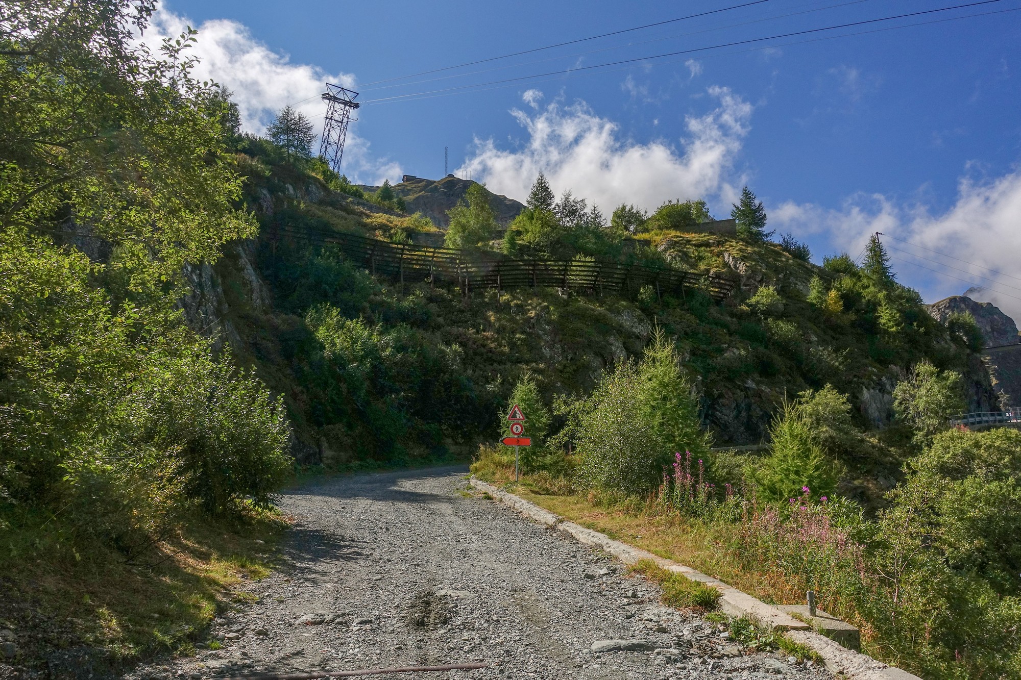
So I bought a ticket for the cable car (10€). My bike wasn't allowed on, but the office that organises tours let me put my bike in a presentation suite they weren't using. So I took everything off my bike (Wahoo, both cameras and a bidon) and boarded the téléphérique.
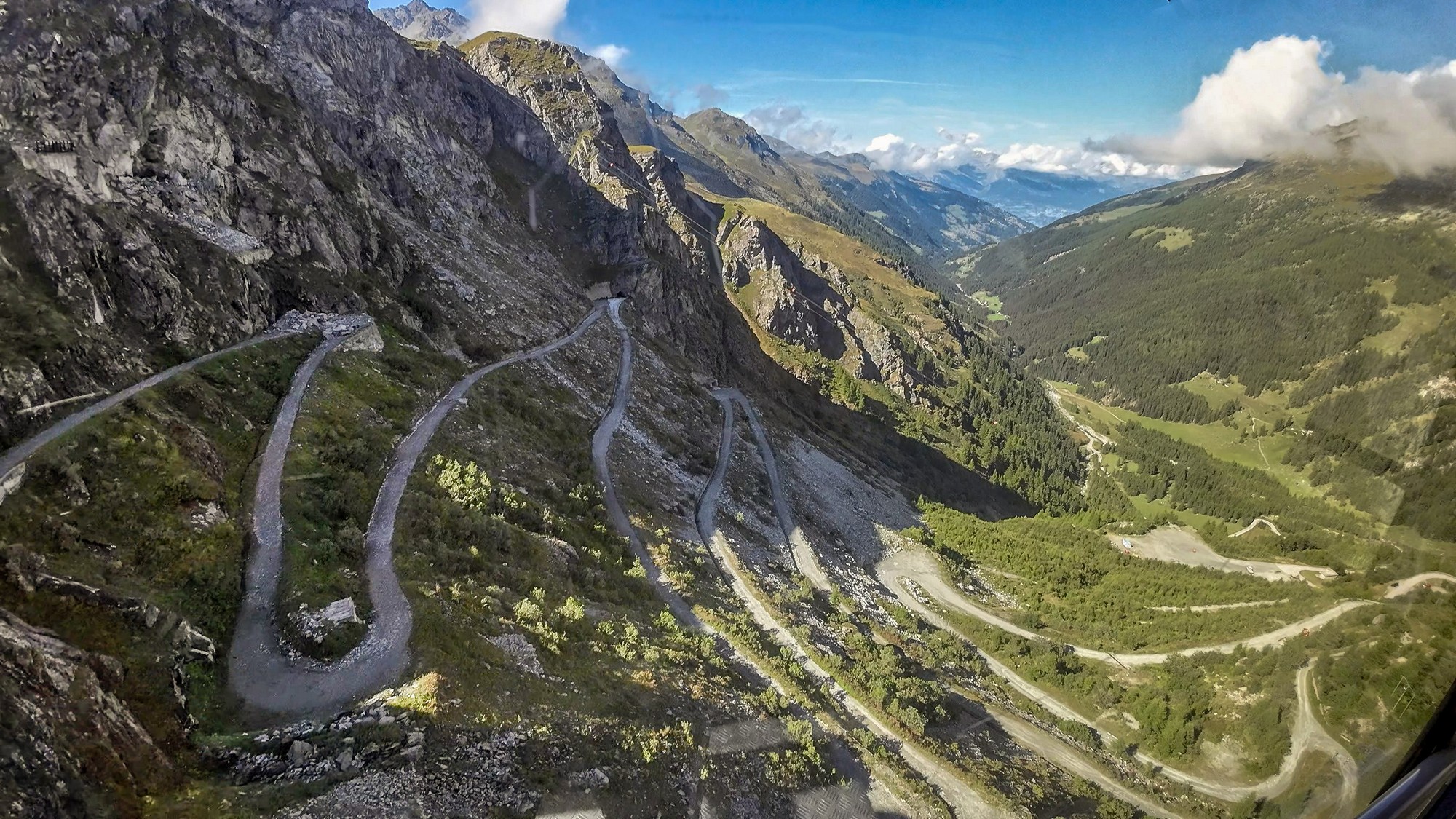
I shot a video from the cable car. I could see the gravel road below, and the rockfall that had forced its closure.
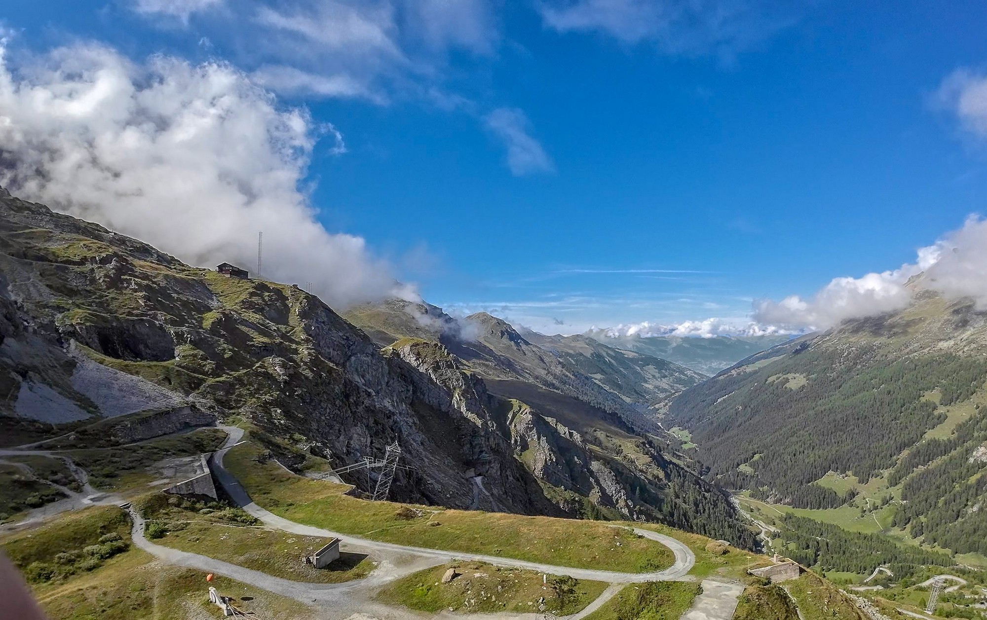
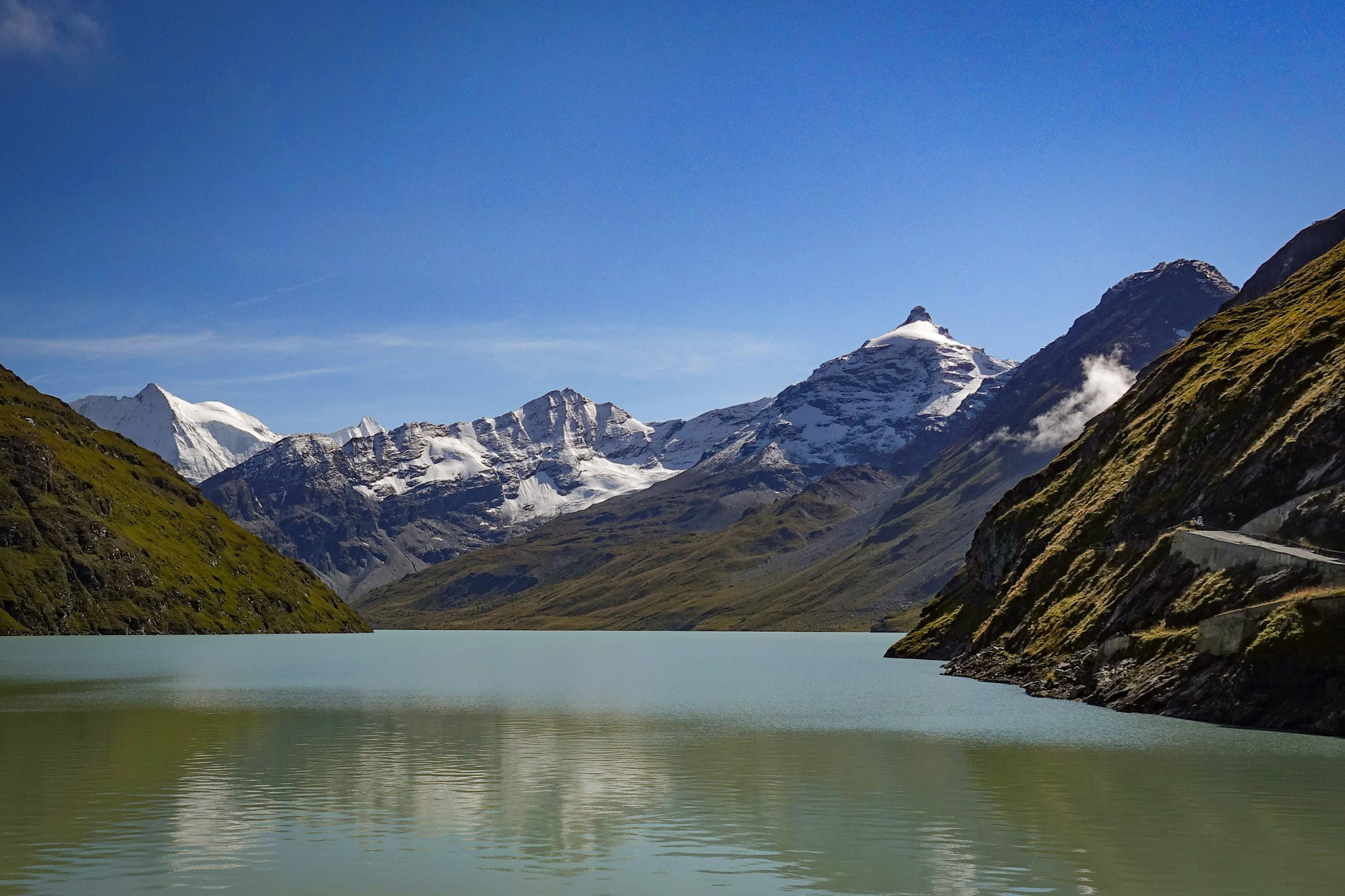
As soon as I disembarked from the cable car I put my rain jacket on. It was very cold up there, about 11-12°C , but the sun was out and there was a breeze. The lake and the mountains beyond looked beautiful from the dam wall.
After getting a few shots, I sat down to eat the rest of my sandwich. I sat there with my rain jacket now off again, with my back to the sun, trying to dry my soaking wet jersey, which otherwise wouldn't be very comfortable on the descent. I set my action cam down to take a time-lapse of some clouds while I was sitting there.
Being in my cycling shoes I didn't want to walk anywhere so I soon made my way back to the cable car, which was just ready to leave, full of passengers.
I got some more stills from the cable car using my AC.
When I collected my bike I asked how long the gravel road had been closed and was told that it's often being closed due to rock falls and re-opened, and this time it's been closed since July, so not that long ago. He said it will probably re-open again eventually.
I got some more shots of the dam before starting the descent.
I totally forgot that I was going to get my drone out and fly it from the road at the foot of the dam.
It was very cold so I was taking it reasonably easy. I wished I'd had my snood. The good news was that the sun was on me from time to time, something I hadn't been expecting.
Anyway it seemed less cold the further I got, so I started letting go and really made a fast descent in the end. No stopping for photos but I did shoot video footage of practically the whole descent. For the last half I was completely warm enough. It's a great descent but not nice with the extra traffic from Vex onwards. On the flat bit along the Rhône I was way too hot, but couldn't be bothered to stop and take my rain jacket off. The exhilarating descent left me feeling good by the end of the ride.
Ride notes
Concerning Halfway down I noticed that both brake levers had loads of slack before the brakes came on. I don't understand that because I have only just installed new pads. Although I did question the seller whether they were genuine Shimano pads because they didn't have proper packaging and looked slightly different. I'll check their thickness when I get time.
Good The camera mount behaved much better now that I've super-glued the spring-loaded swivelling mechanism so it can't move. Previously it had been rattling around over rough terrain and causing the camera's image stabilisation to glitch
Interesting When I looked at that gradient sign during the ride, all I saw was the 6 km at 9% bit.
Looking at the photo after the ride, I wondered why the elevation profile for the whole climb didn't match mine. And the distance was different as well. I worked out that this profile is the one you would get if the climb went up the other side of the valley and crossed over via Euseigne, so that must be the 'official' route. And that would have cut out all that traffic I had at the start of the climb. Now I feel I've missed out (FOMO !). Maybe next time ....
(Since working all that out I decided to read the guide to Road Cycling in Valais which I linked to in a previous post, and I discovered that the 'official' route does indeed go via Euseigne as detailed here. Guess I should start actually reading some stuff before planning my routes!)
Irrelevant The height of the dam is 285 m, but the maximum altitude (above ground) I could legally fly my drone in Switzerland is 120 m, not even halfway up! Still, I think that the aerial shots from the cable car made up for the lack of dronage. So I had lugged my drone up there for no reason!
Further reading
- Trophy of the Dams Details of this, the Dixence, and seven other rides to dams in the Valais region
- La Grande Dixence Official website. Lots of info and videos of its construction, etc
- La Grande Dixence Old documentary of its construction in the late 1950's. In French but interesting (for me) to see the sort of machines they used for the concrete, etc.
- Opération 'Béton' (Jean-Luc Godard, 1958) Fun fact: Jean-Luc Godard, the famous film director, worked on the construction of the dam and also made a documentary about it (mainly the concrete bit). This is a very poor quality copy of the film on YouTube. I'm only linking it here for completeness.
- La Grande Dixence This french Wikipedia article contains more info and photos than the English article (right click to translate), including information about what I assume was one of the penstocks bursting in December 2000, the resulting flood of water, trees and rocks causing damage to chalets and killing three people.
Gallery
Click to enlarge / see slideshow


