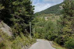
Distance: 11.7 miles. Elevation: 2048 ft.
The main purpose of this final ride of my French trip was for a last brief climb into the mountain scenery, and to get my monthly climbing total to over 20,000 metres. It was just going to be a quick one so I was in a bit of a rush getting out. I could hear that it was windy outside so I wore my wind-cheating long-sleeve top and shorts, with my rain jacket available for the descent. As soon as I got outside I realised it was much milder than it has been, at around 16°C, but I left my jacket on anyway.
The climb started just outside the north end of Guillaumes. That’s when I suddenly realised I’d forgotten my bidon. Doh! As it was going to be such a short ride I figured I could do without it. [Later in the ride I had an energy gel, purely for the (limited) hydration factor.]
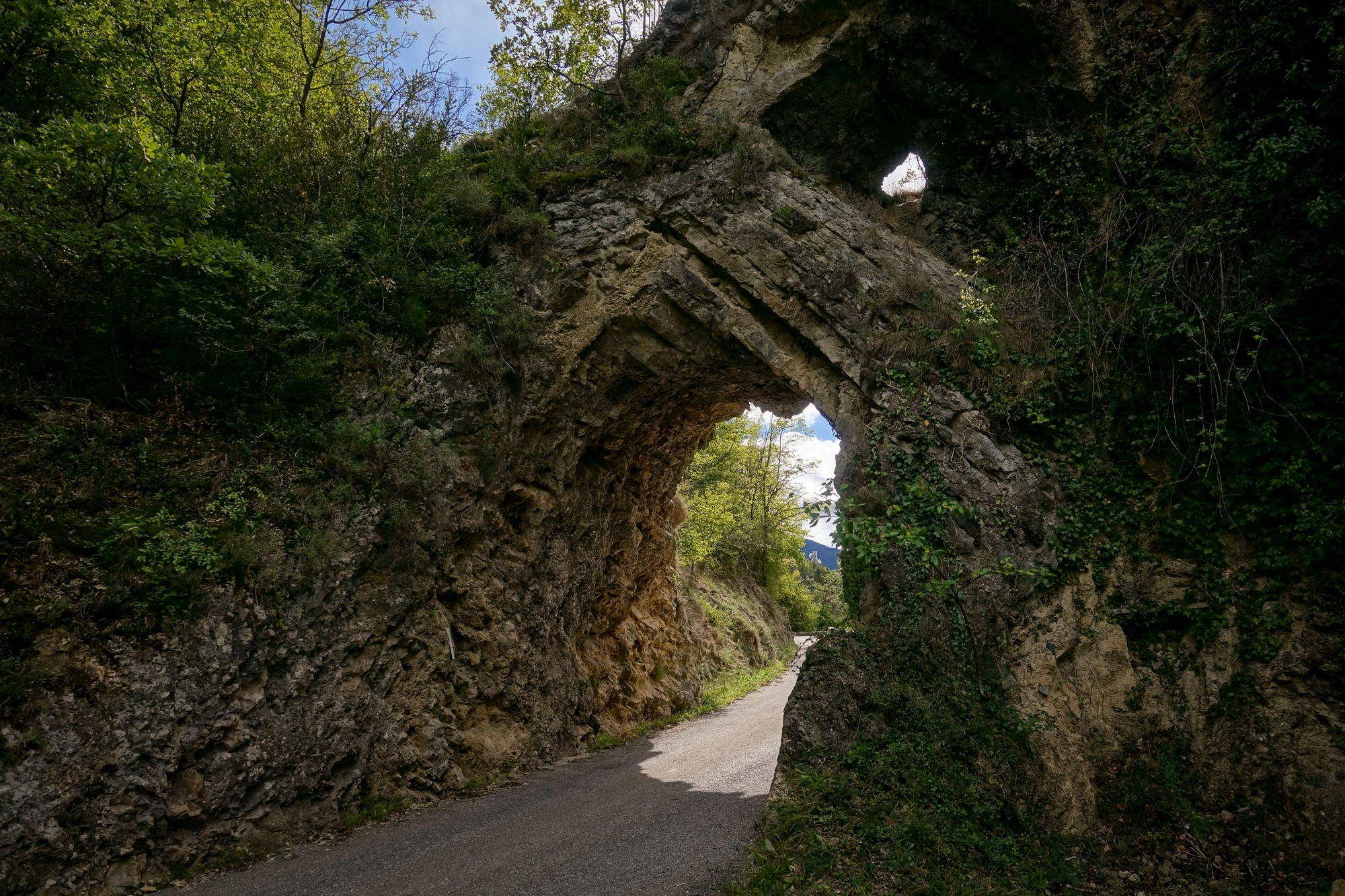
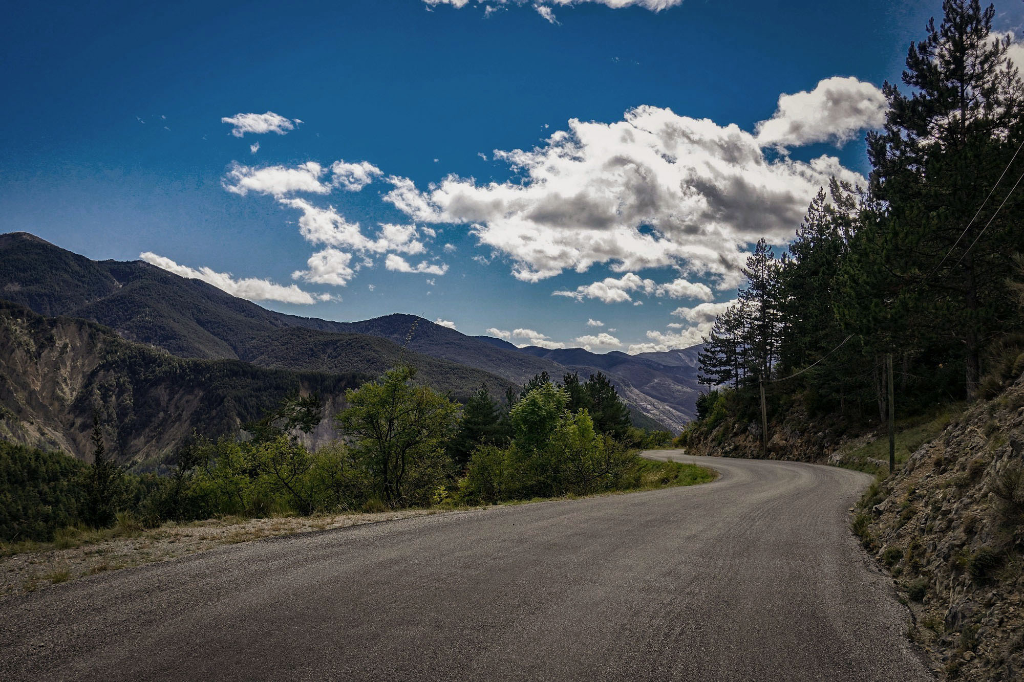
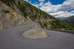
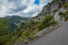
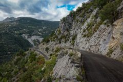
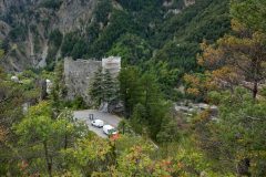
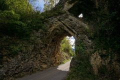
The road is one of those with lots of close hairpins to get you quickly up the side of the valley. Passing through an arch in the rock, the route leads past the ruins of le Chateau de la Reine Jeanne, which had some restoration work going on.
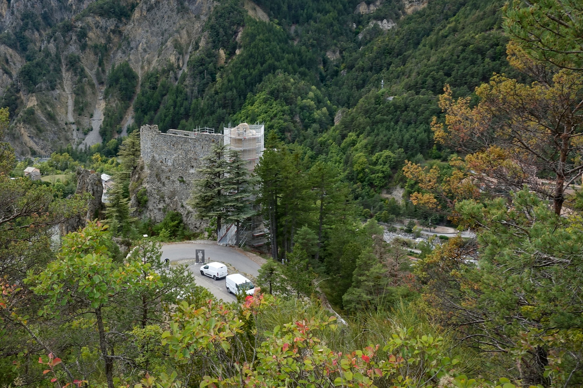
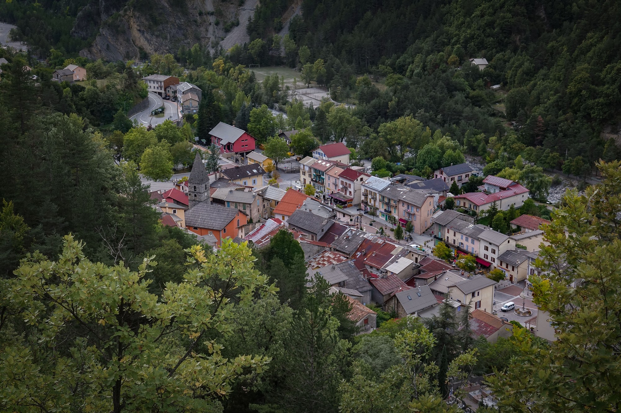
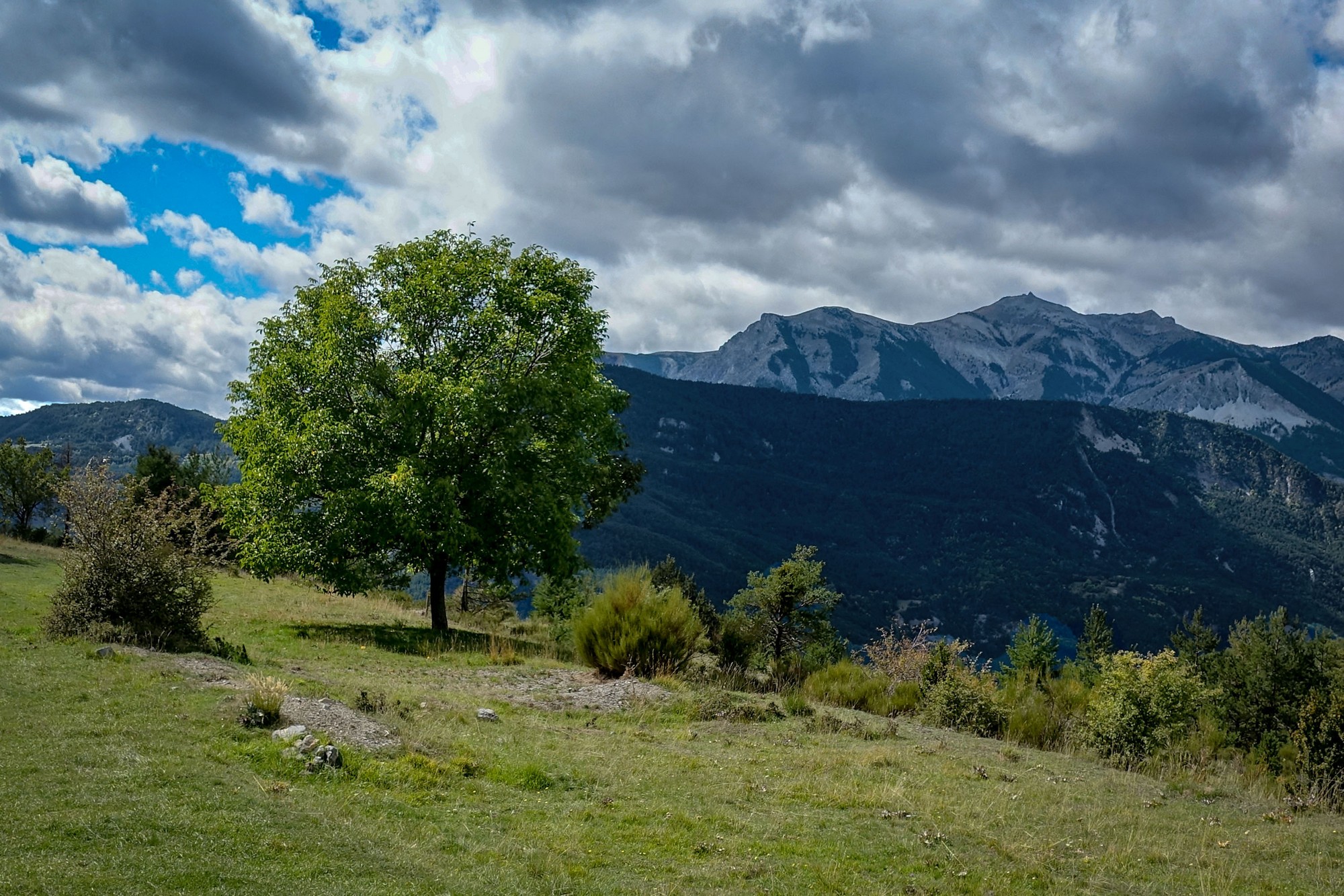
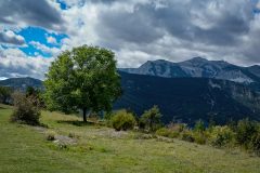
Shortly into the climb there was rain in the air, and the dark clouds in the mountains looked fairly menacing. I carried on, thinking I would go as far as I could and if it started really raining I could easily turn back. My main aim was to get the 300 metres I needed to bring my monthly total to 20,000 m. The gradient was six or seven percent and I went up it very steadily. The sun was on me for most of the time and, needless to say, I was dripping inside my long sleeve jacket which I had open; also I had the air vents open in the jacket.
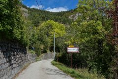
I kept checking the altitude on the kilometre signs and was confident that I would soon reach my goal of 300m of ascent. It’s quite easy to calculate using the metric units – e.g. at 7% the road will ascend 70m over the distance between signs (1km). So my goal would take just over 4 km of riding.
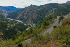
Every now and then I caught a glimpse of the road to Valberg via Péone.
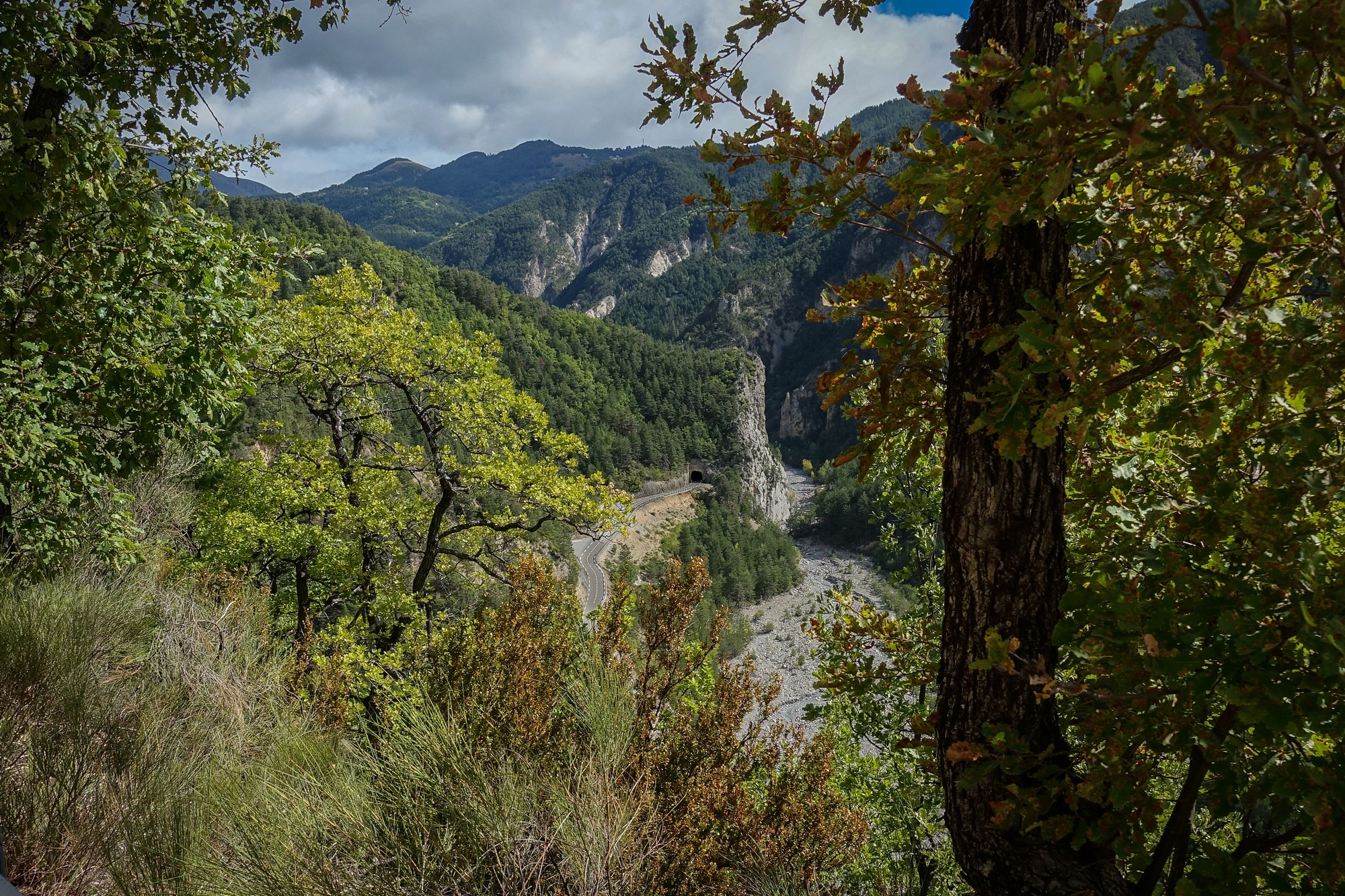
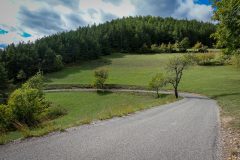
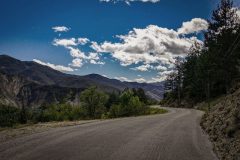
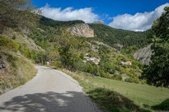
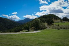
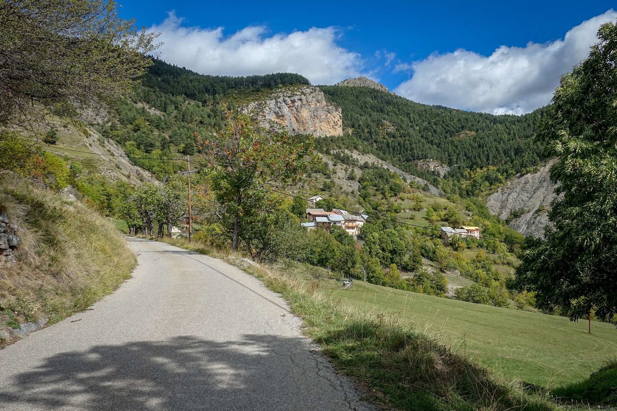
The switchbacks ended as the road straightened out across the high pastures, turning north above the Vallon des Anseingues, still at the same 7%+ gradient.
Eventually I estimated I had ridden far enough to have met my climbing target, but when I saw that Bouchanières was only another couple of km further on, I decided I would complete the ride even though there were more spots of rain.
Just as I came to the 1k-to-go sign there was a sudden flurry of rain and wind, but again it didn’t last long and soon passed.
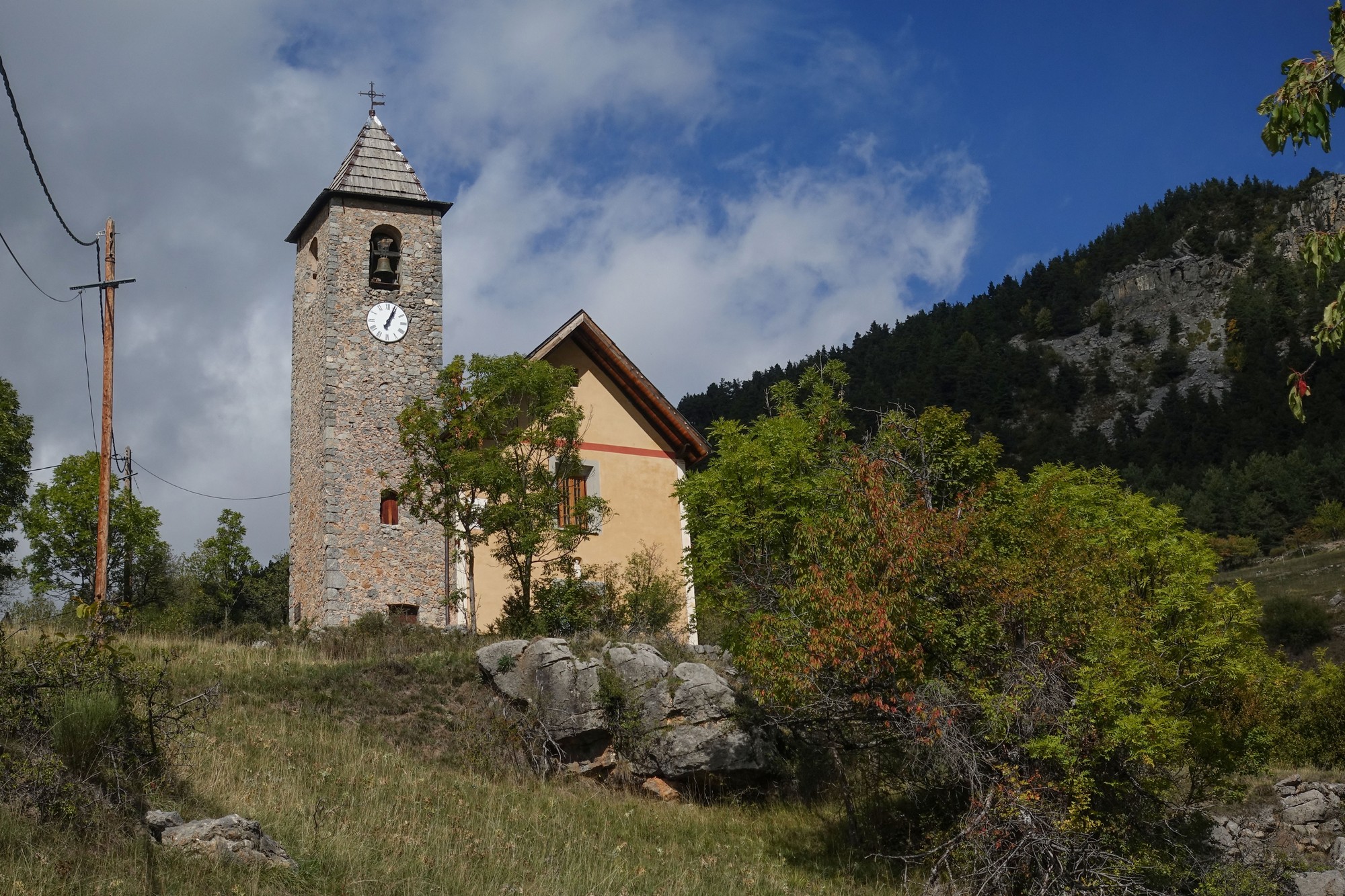
There was a water tap at the top but when I asked someone whether it was drinkable he said he couldn’t be sure, so I didn’t take a chance, knowing that all I had left was the descent, which wouldn’t take any energy or much time.
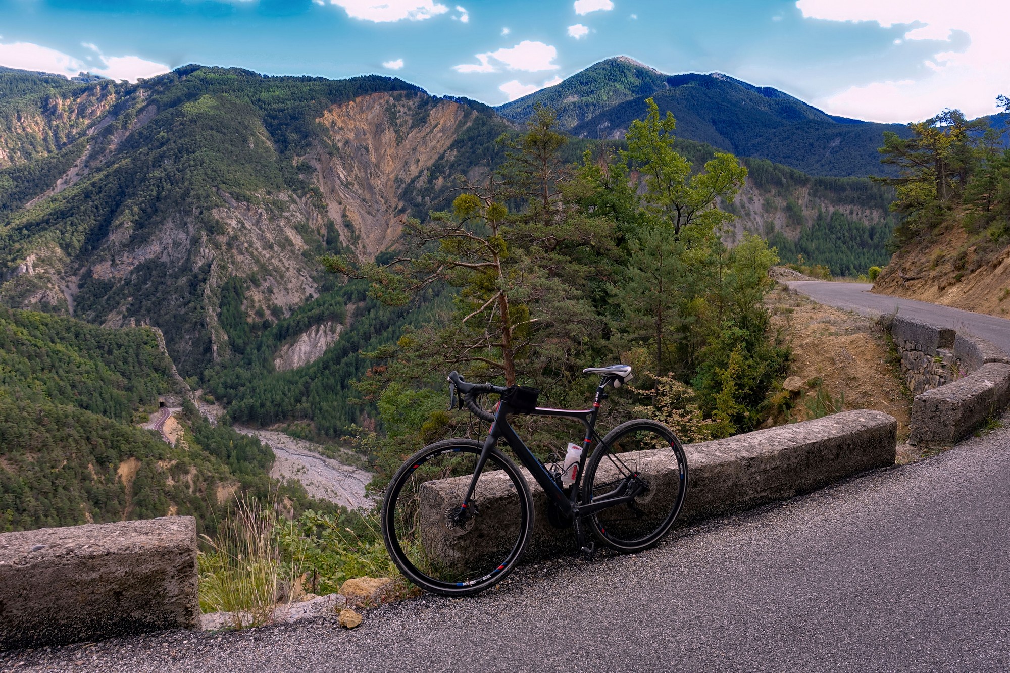
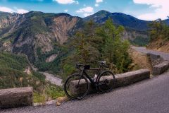
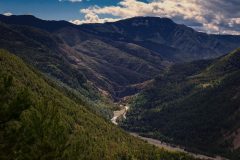
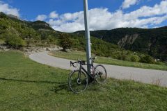
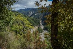
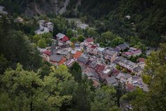
The descent was quite windy but I stopped every now and again for photos which, as usual, seemed more spectacular on the descent. On the way up I had noticed views across to the road to Valberg. On the way back looking along the Var valley to the south of Guillaumes, I once again noticed le Pont de la Mariée, The Bride’s Bridge.
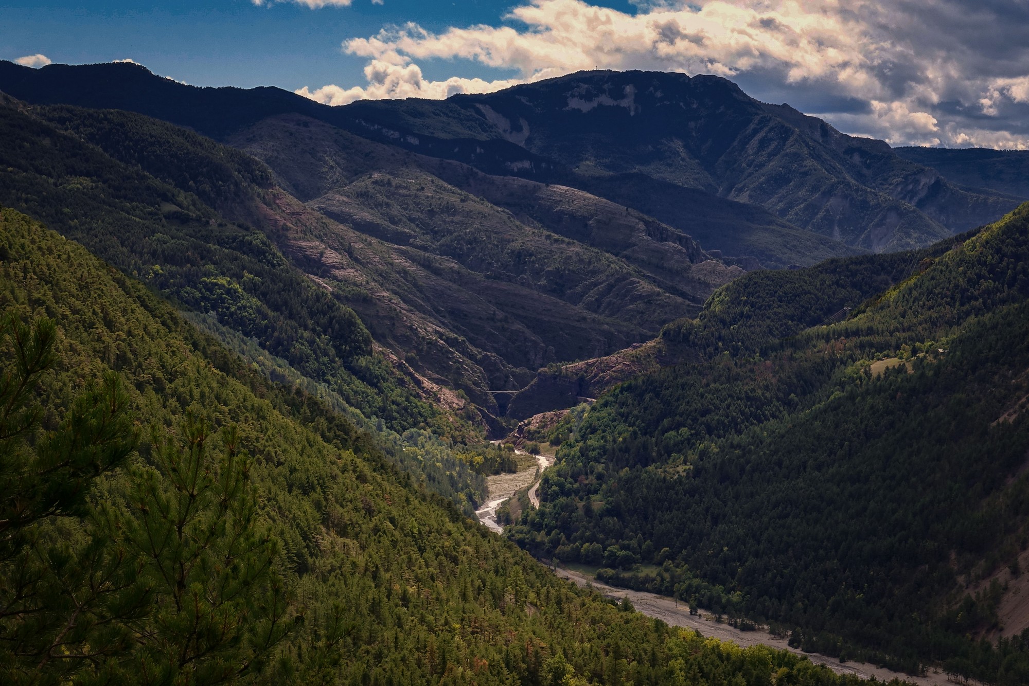
Just two cars had passed me on the whole of the ride. The road surface was excellent all the way. Factor-in the scenery and you have cycling heaven!
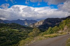
So despite having worn the wrong clothes and forgetting my bidon, it had turned out alright in the end, being such a short ride anyway. I’m glad I got my last look at the amazing views of the mountains and towards the Gorge de Daluis.
Again, looking back at the photos from the perspective of a cold and grey winter’s day here in the UK, three month’s later, I’m reminded of the magnificent beauty of the Mercantour National Park, astounding even on such a short ride.
I will be back.
Further reading
Le château de la Reine Jeanne YouTube video about the history of the chateau and its renovation (in French but YouTube can do translated English subtitles)
Guillaumes The official website for the village of Guillaumes. Crammed with information and history of the village and the area.


