Distance: 54.2 miles. Elevation: 7887 ft
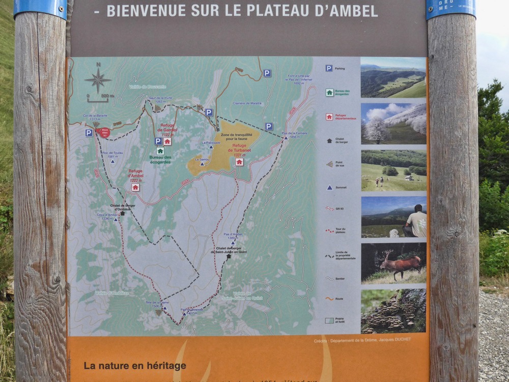
I moved campsites yesterday so this ride started from the lovely village of Saint-Jean-en-Royans, just to the west of the Vercors massif. The aim of today’s ride was to visit a new col I’d never heard of until a bit of internet research into somewhere else (Col du Rousset) put me on to it. Namely The Col de la Bataille.
I was a bit peeved that today’s weather was cloudy, whereas days either side were brilliant sunshine! But when I thought of the ride ahead I was secretly relieved. I set off at 12:30.
The climb from Saint-Jean-en-Royans to Combe Laval was steeper than I had remembered and I was glad it wasn’t sunny. I was treating this ride as being 40 miles because I knew there was a 15-mile descent at the end, so anything after 40 miles would not take any effort. I had also made a note of a shortcut – in case I wasn’t feeling fit enough I could cut about 18 miles and a few cols out of the route.
The first climb was just under 6 miles at nearly 8%. It took about one hour and twenty minutes, stopping on the way to top my bidon up with fresh water.
When I got to Combe Laval this time, I took many more photos than I had done before, stopping every 50m or so. The camera never seems to be able to capture the depth of the scenery so I shot some video hoping this would show it better. There were several bikers up there doing the same thing.
When I was here before in 2016, I could barely bring myself to walk up to the ridiculously low wall, but now I noticed that they have increased the height since then by adding an additional course of stones, as can be seen below. It makes a lot of difference surprisingly and I could approach the wall easily this time.
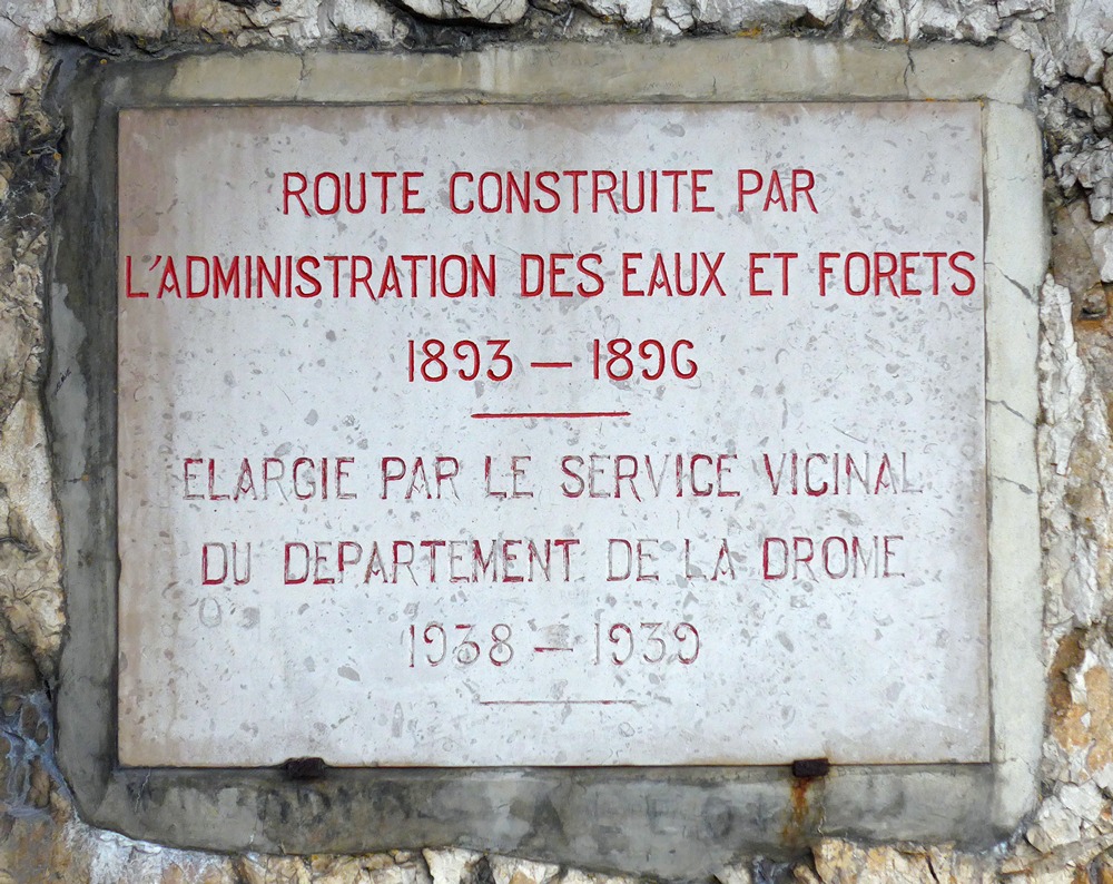
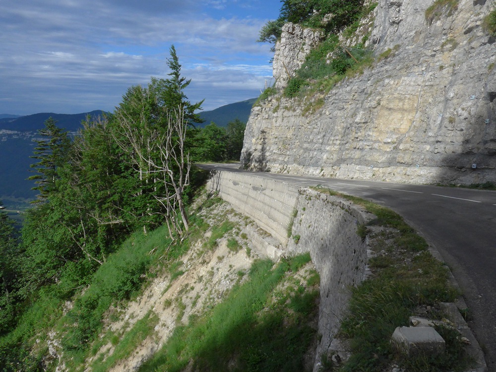
Not always visible from a distance, there is often steel wire netting covering the rock faces above roads in the Vercors. In this photo there is some much larger mesh to stop boulders falling on the road, but over all the rock faces in the photo there is smaller mesh to trap the smaller slides
The camera never seems to be able to show the depth and scale of the landscape, so I shot some video, hoping that may help. Excuse the sniffs and cleat-clomping!
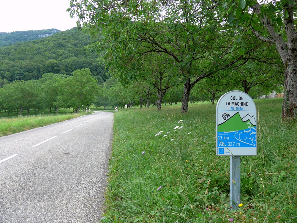
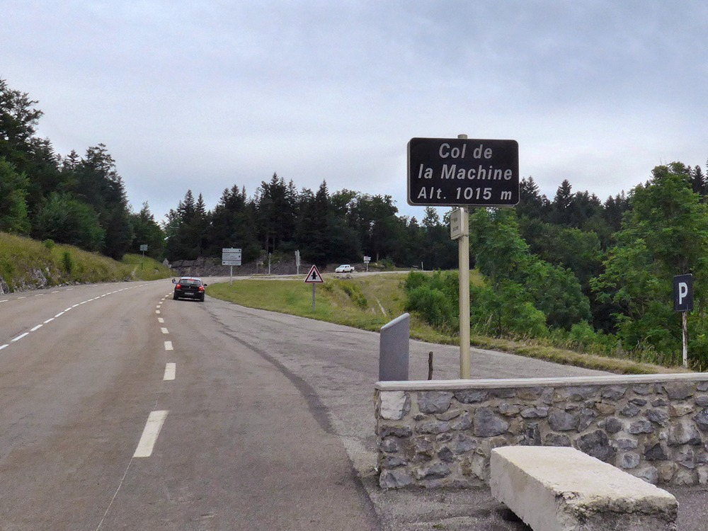
Towards the end of the balcony road section, it gets steeper again until you reach the Col de la Machine.
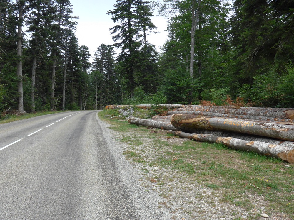
I’d always thought it had such a strange name. Why “Machine”? I wondered. Then I recently discovered that it refers to a large crane device that used to lower the logs down to the river in the days before the access roads were built – timber is a big commodity in the Vercors.
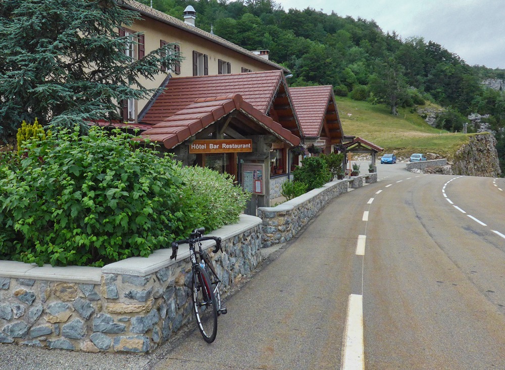
This time, I stopped at the hotel for a coffee.
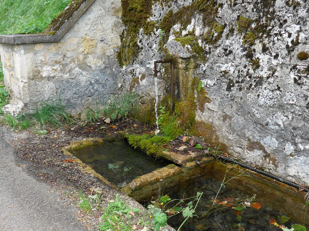
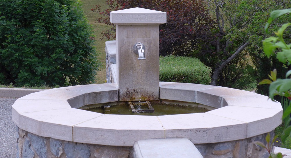
Before leaving I topped up my bidon with l’eau potable from the fountain.
A few miles later I reached the point in the route at which I had to decide whether I would take that short cut or not. I wasn’t feeling too bad so I opted for the longer ride and turned left. This led to somewhat easier climbing through the forest for the next 4 miles to the Col de Carri.
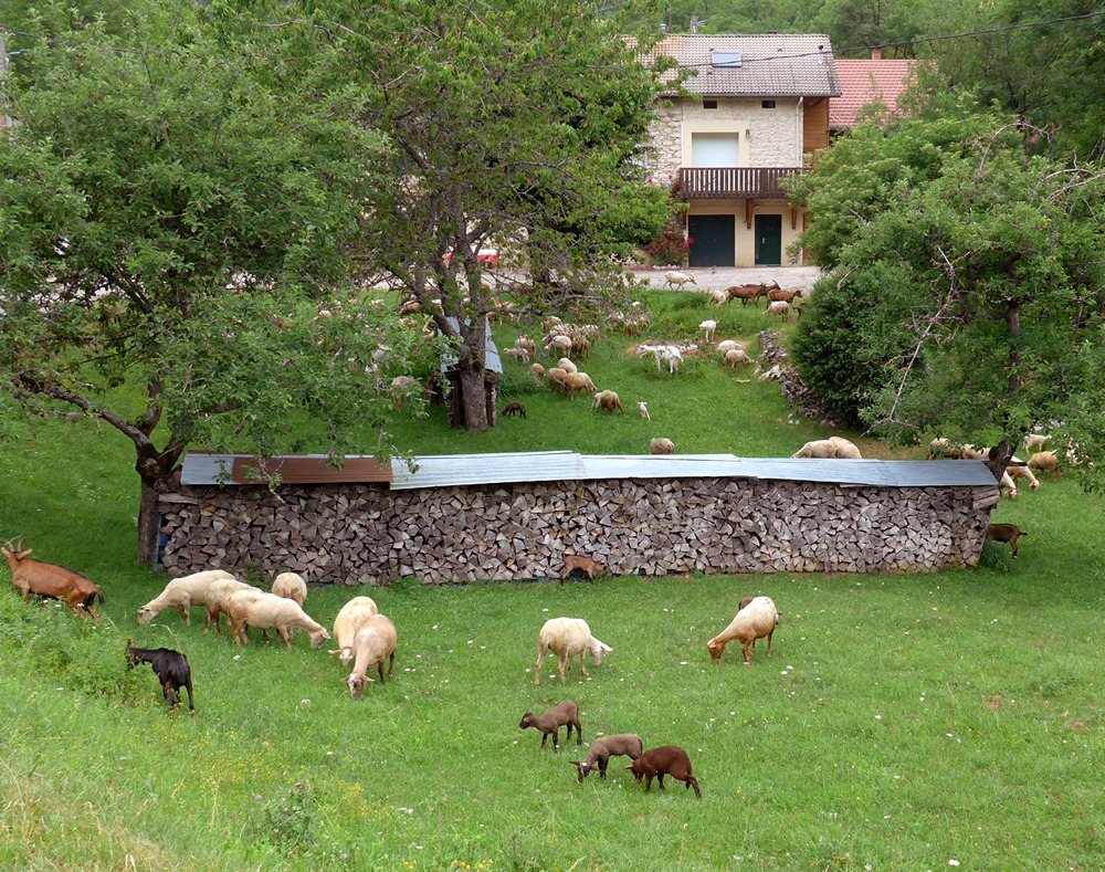
I stopped and put on my new ‘neck mask’ thing that goes round your head under your helmet and protects your neck. I bought it to protect against the sun, but in this case I was trying to stop the cold air going down my neck on the descent. The next three miles were downhill at avg 7%. That was not good as it could only mean more climbing ahead!. At La Cime du Mas I stood and watched some goats for a while.
A reasonable 5% climb for the next two miles led to the Col de Prencel, after which the road emerged from the rather monotonous forest into a wide plain, and with the road flattening out now, I felt better. At this point I had been riding for 5.5 hours and had only done 18 miles. All the while I’d been calculating whether I could get back by dark. Obviously the 15-mile downhill end to the ride would only take 40 mins or so.

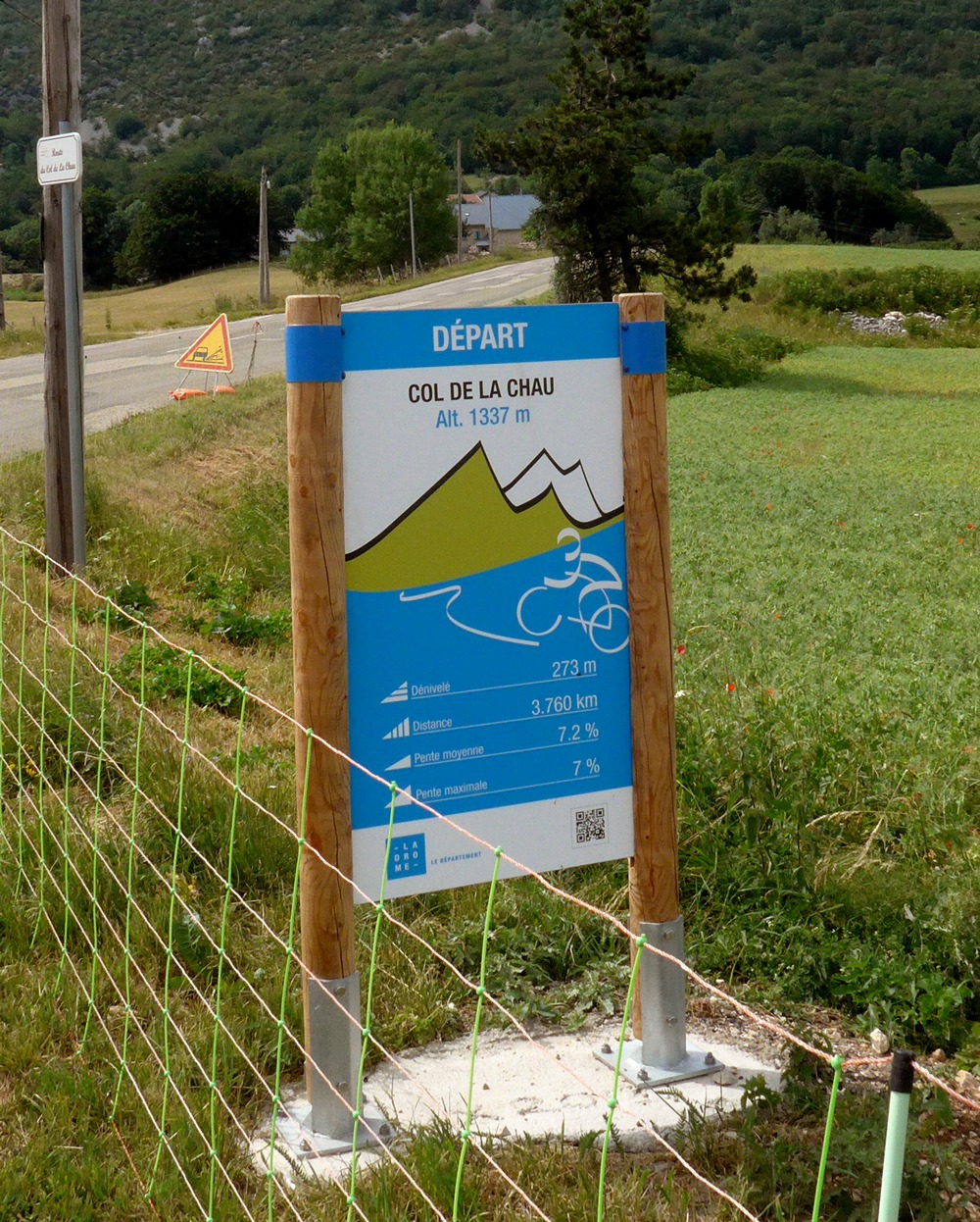
I was hoping to tick off some miles on this flat bit, but they were not coming off as quickly as I’d expected and although I’d hoped this road across the flat plateau would go on for a while, it wasn’t long before my route turned sharply, straight into the direction of the massive hills to my right, where I found myself heading towards the Col de la Chau, at 7% gradient for over two miles, according to the helpful sign. At about 4 miles per hour that would still take half an hour of slog.
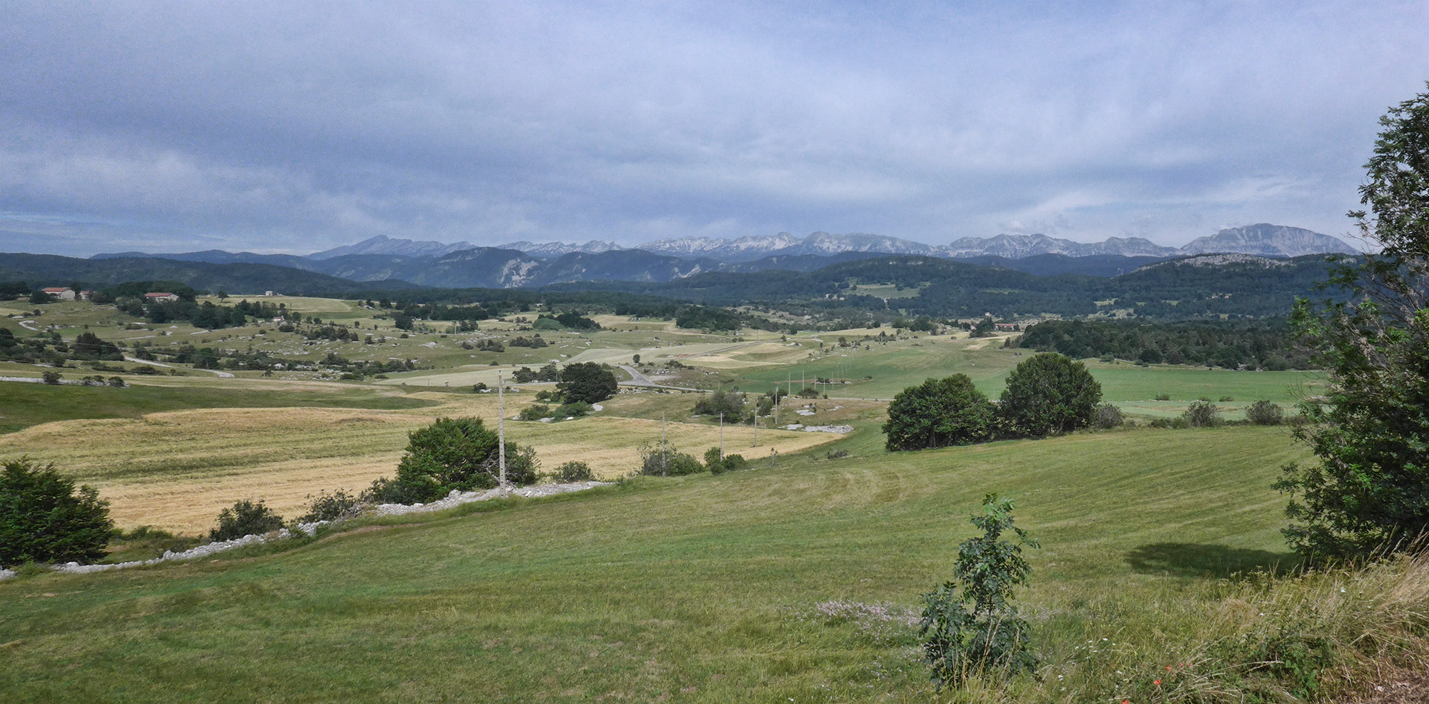
The wide flat landscape I had just been enjoying shrank below me as the road zig-zagged up the side of the rocks. I could see the Alps in the distance to the East.
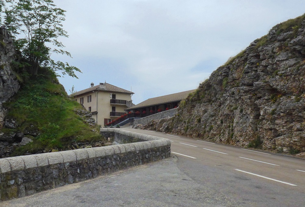
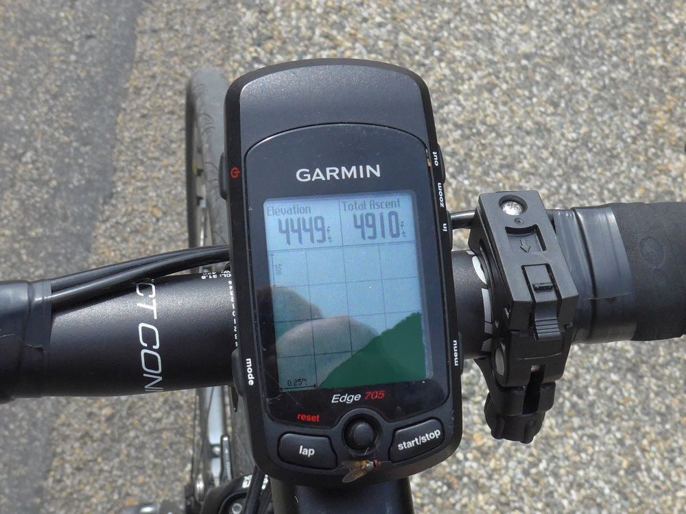
After 40 minutes of climbing I had passed the Vercors Memorial to The Resistance and had reached the Col de Lachau, replete with the usual signpost and hotel. I had expected the climb to be over at that point but the Garmin elevation page told a different story.
The next 12 minutes were soul destroying as every bend I turned revealed the road to be still climbing. In fact each of these bends in the forest looked almost identical. Eventually I reached the highest elevation of the whole ride, at 1440m or 4720 feet, higher than any point in the UK. Mercifully this was followed by 4.5 miles or 15 minutes of downhill. Then I reached a turn-off where my planned route went left but there were signs to Combe Laval and St-Jean-en-Royans to the right.
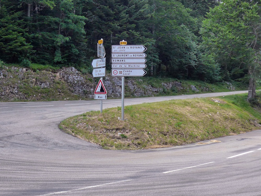
I could have taken the easy way out and elected not to turn left but keep right and get back to my van in just 12 miles, virtually all downhill, incorporating Combe Laval in reverse, which I had always fancied. The alternative was another 26 miles via the Col de la Bataille. I was feeling tired enough to seriously consider the option. But in the end the planned route on the Garmin dictated my choice and I pushed on towards the Col de la Bataille. (The path less travelled – by me at least).
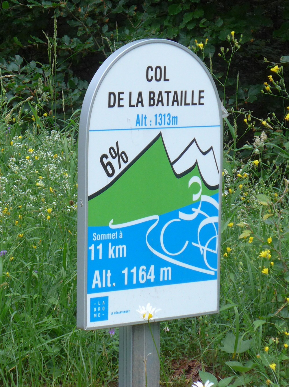
I soon saw one of the useful Col signs informing me that I was at an altitude of 1114m and that the Col was in 12k at 1313m.
As usual I did a quick calculation – that’s 200m or about 500 feet max in 8 miles. Well that’s nothing to worry about, I thought. I couldn’t see how that would be 5%. In fact 200m in 12km is obviously no more than 2%. Confused, I pushed on, none of the gradients being particularly troublesome. I saw several more of these signs and I realised that they give the gradient over the upcoming kilometre..
In fact I saw some as low as 1%. And I realised why it hadn’t made sense – the climb to Col de la Bataille was not uniform but a series of climbs and descents.
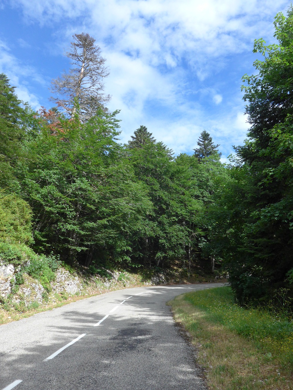
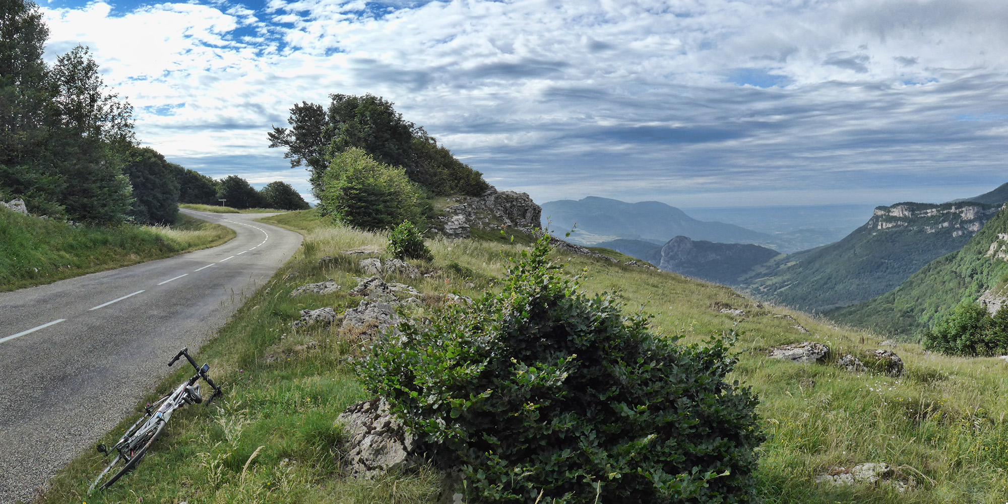
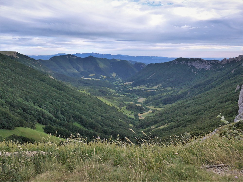
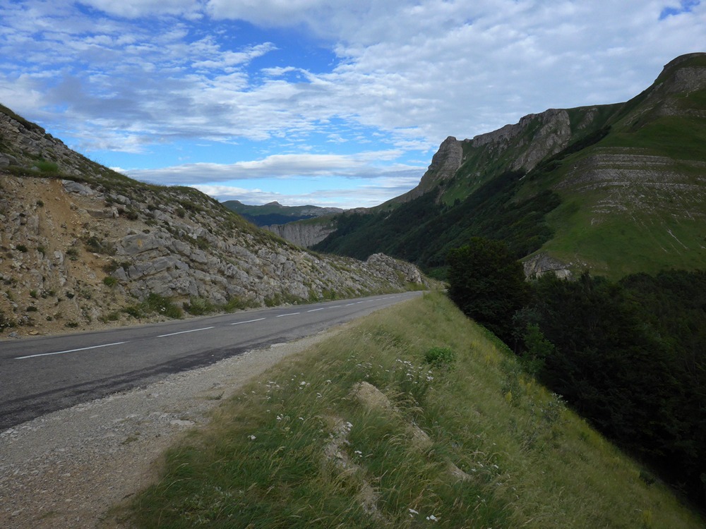
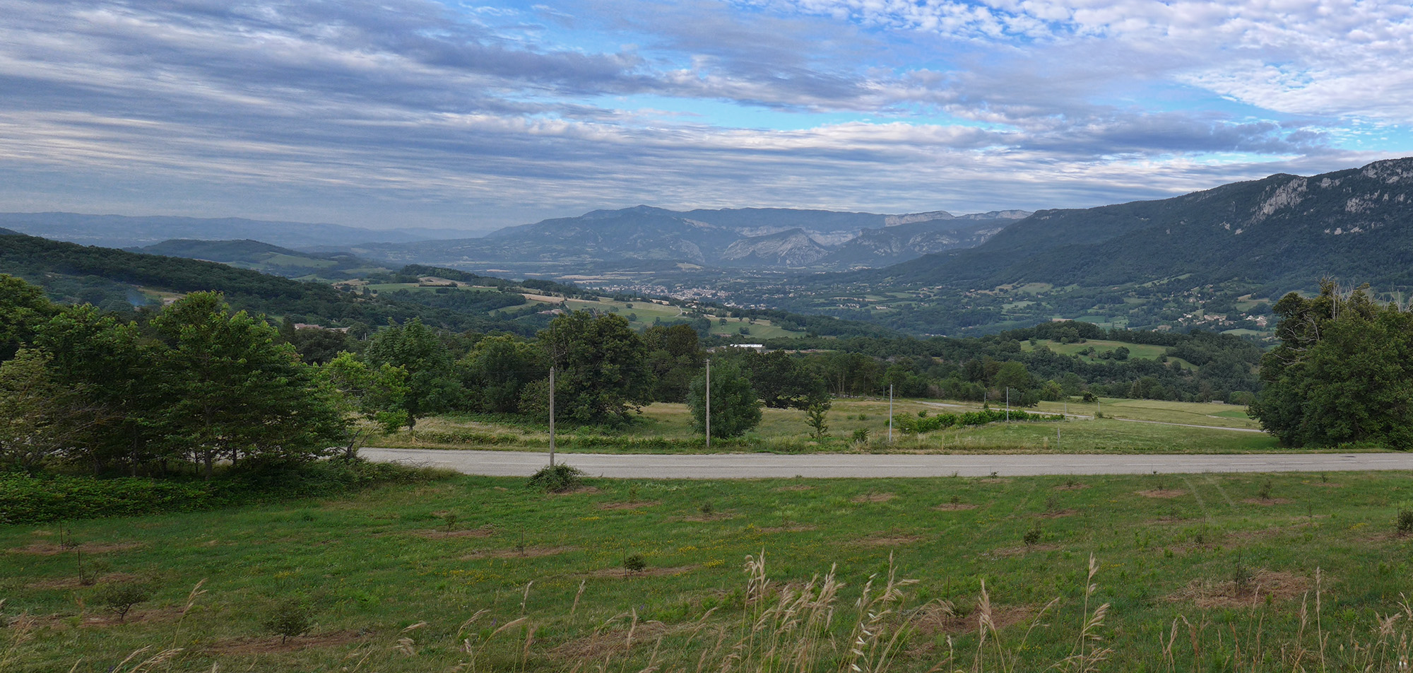
Most of this was through forest, and on a whole section of road there were hundreds of patches of loose gravel where the road had been repaired. This can be treacherous on the downhill, especially on bends. I weaved between the patches as much as I could to avoid them and kept the bike dead straight when I had no choice but to go through them. After 4.5 miles or 45 minutes of this, the view opened out magnificently to my right. I stopped to get a photo.
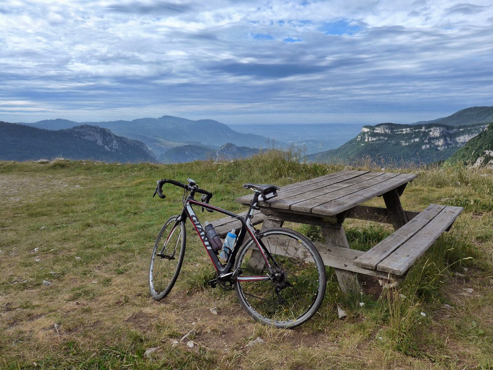
A bit further on there was a picnic bench where I stopped for a while to take in the view.
Riding away from here I very nearly had an incident. I was riding down the very rough rocky terrain down from the picnic table when the front wheel got stuck on a rock or something and the rear wheel lifted. I was just about to go over the handlebars when the front wheel moved again and I just about managed to stay on as I ploughed down the rest of the very rocky ramp keeping the bike as straight as I could until I reached the sanity of tarmac again (I guess downhill off-roading is not for me).
The view disappeared behind trees again as I continued riding. None of the gradients now were very steep, just gentle up and down. Drinking frequently. I stopped at one of the water fountains gushing out of the mountain side and topped up my bidon. That tasted amazing – cool and fresh.
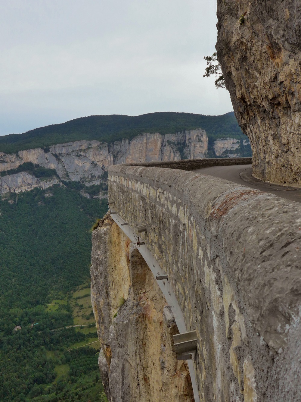
There was very little traffic on the whole of this ride. So it was sod’s law that a car came up behind me just as I approached a sheer drop to my right with about a 9″ ‘guard wall’. It’s a good job another car had not been approaching as well – things would have been very tight!
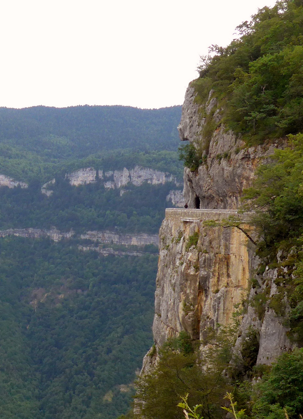
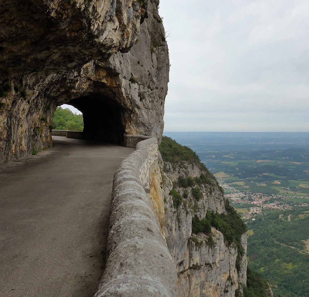
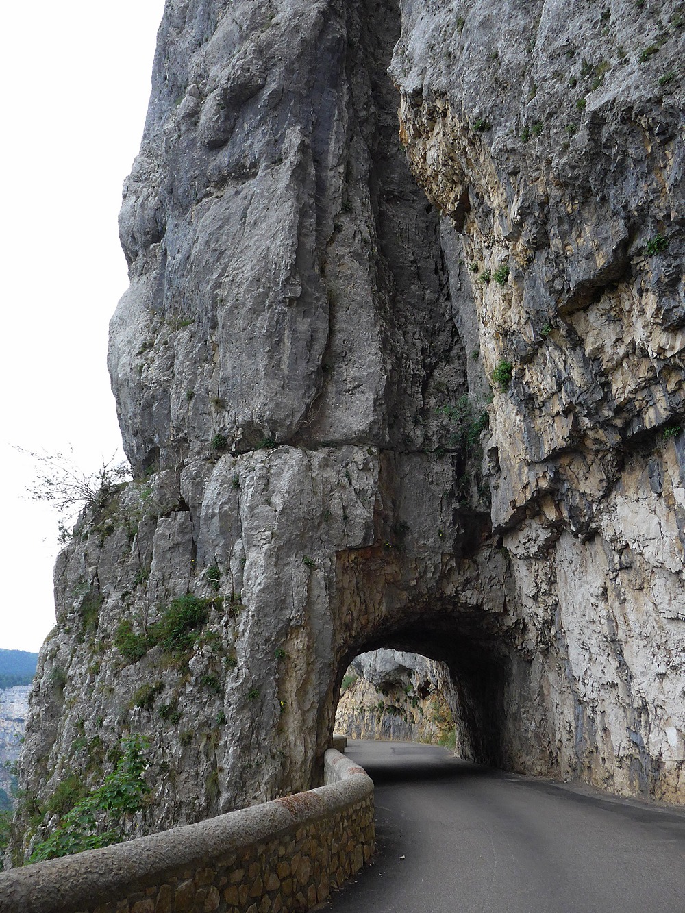
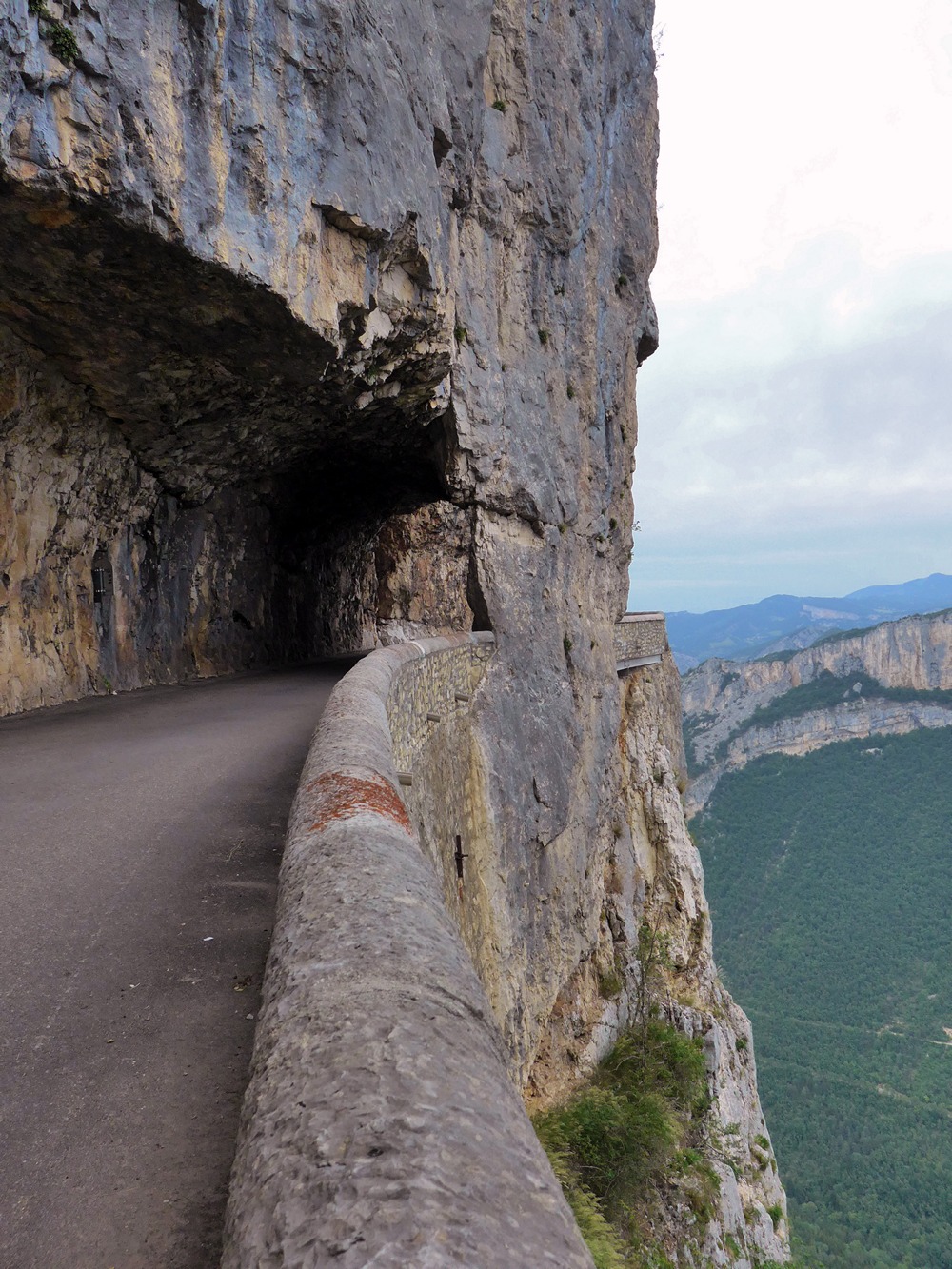
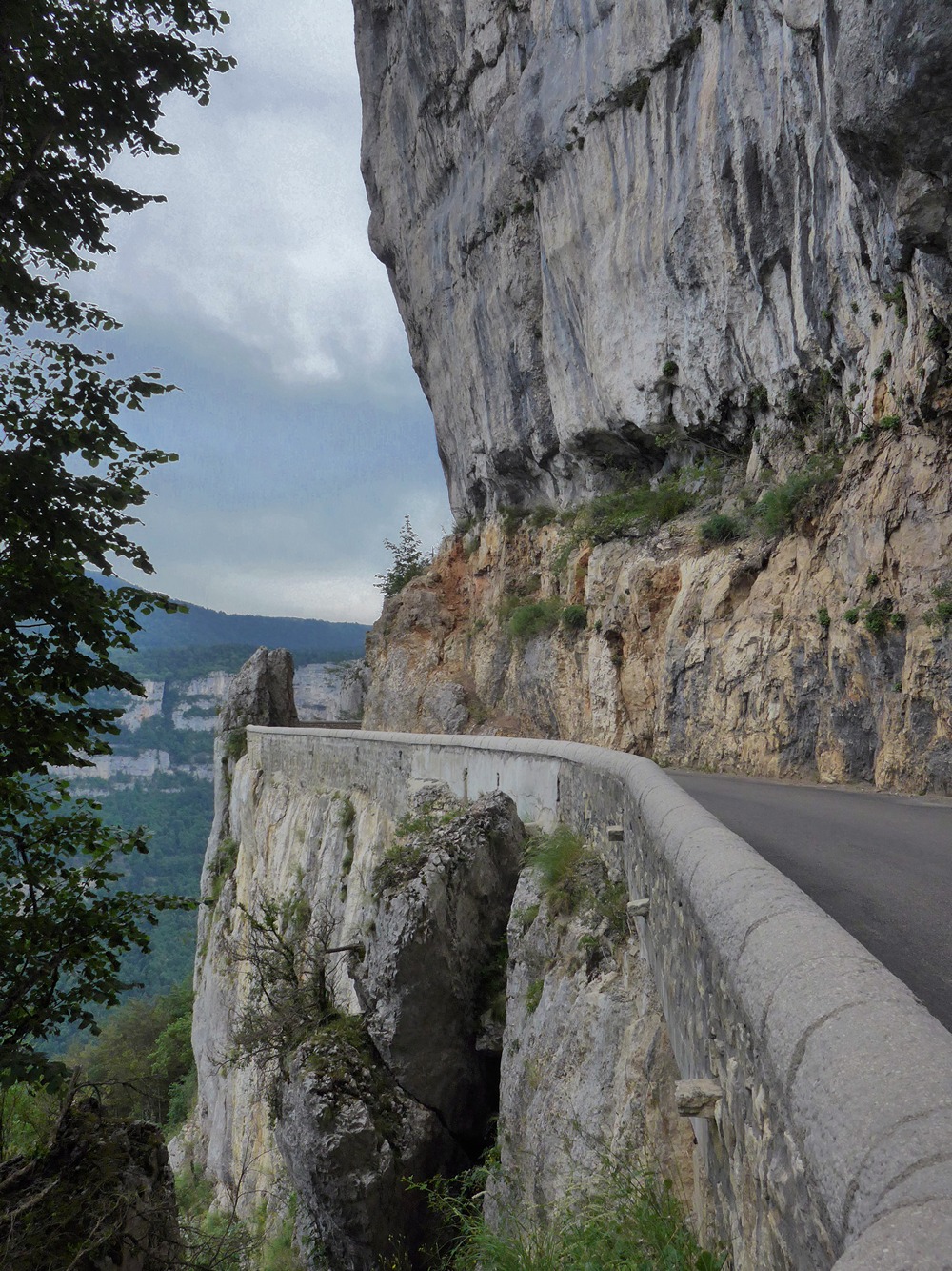
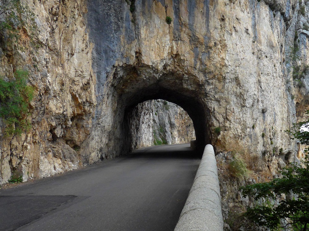
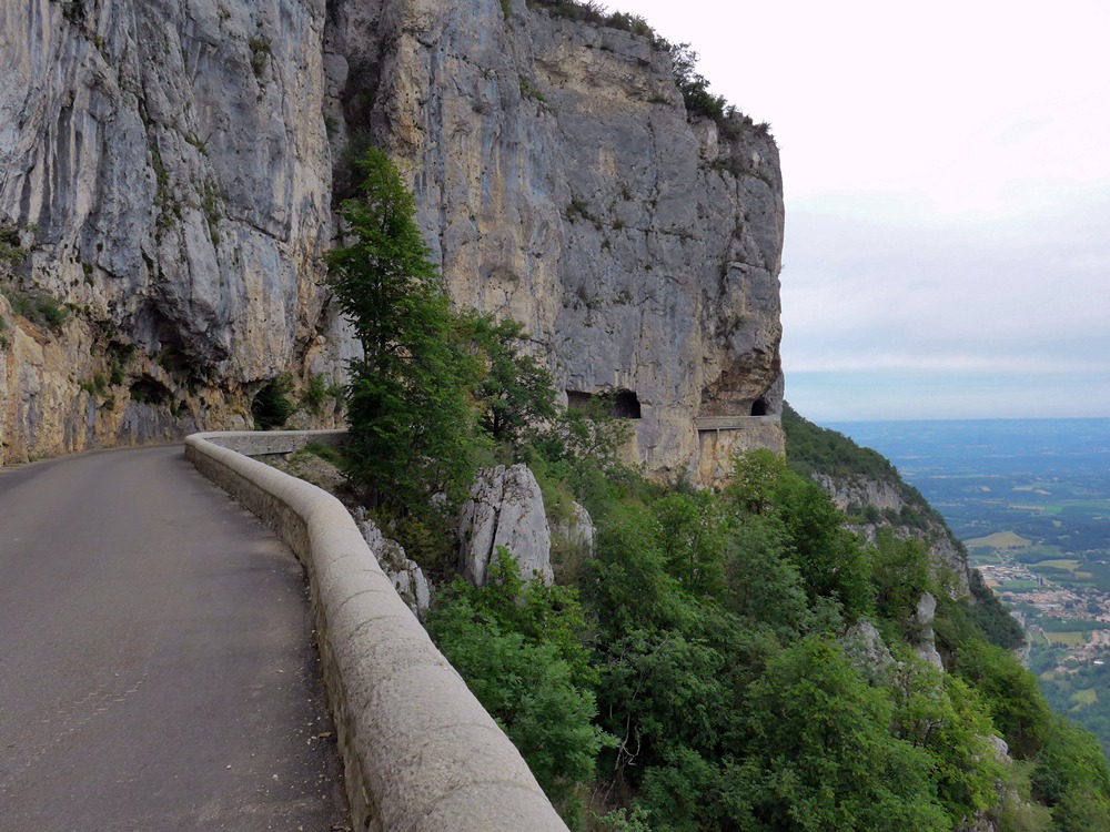
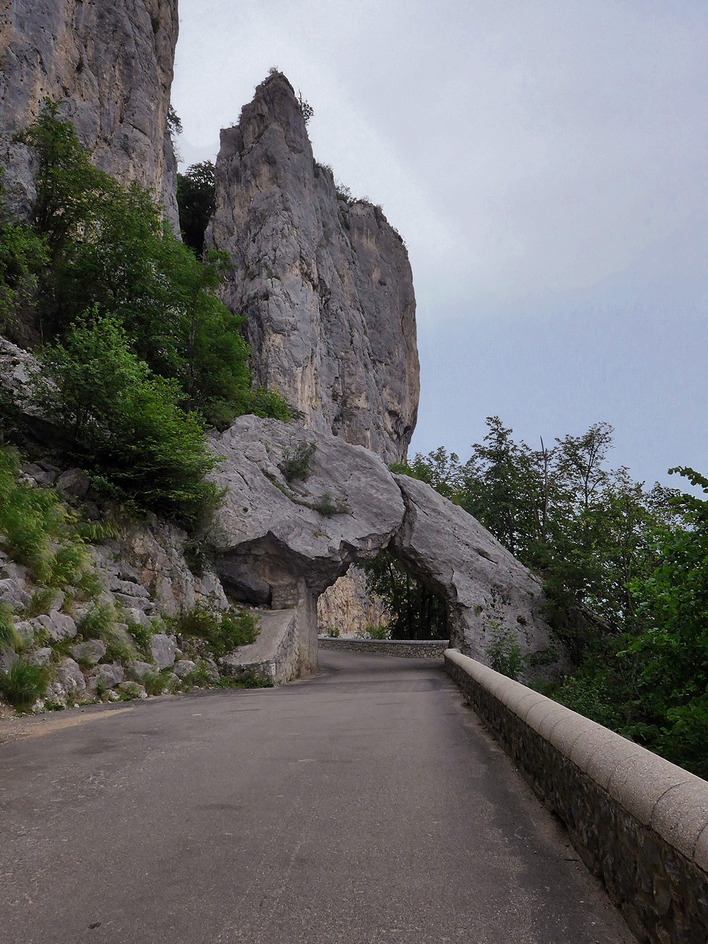
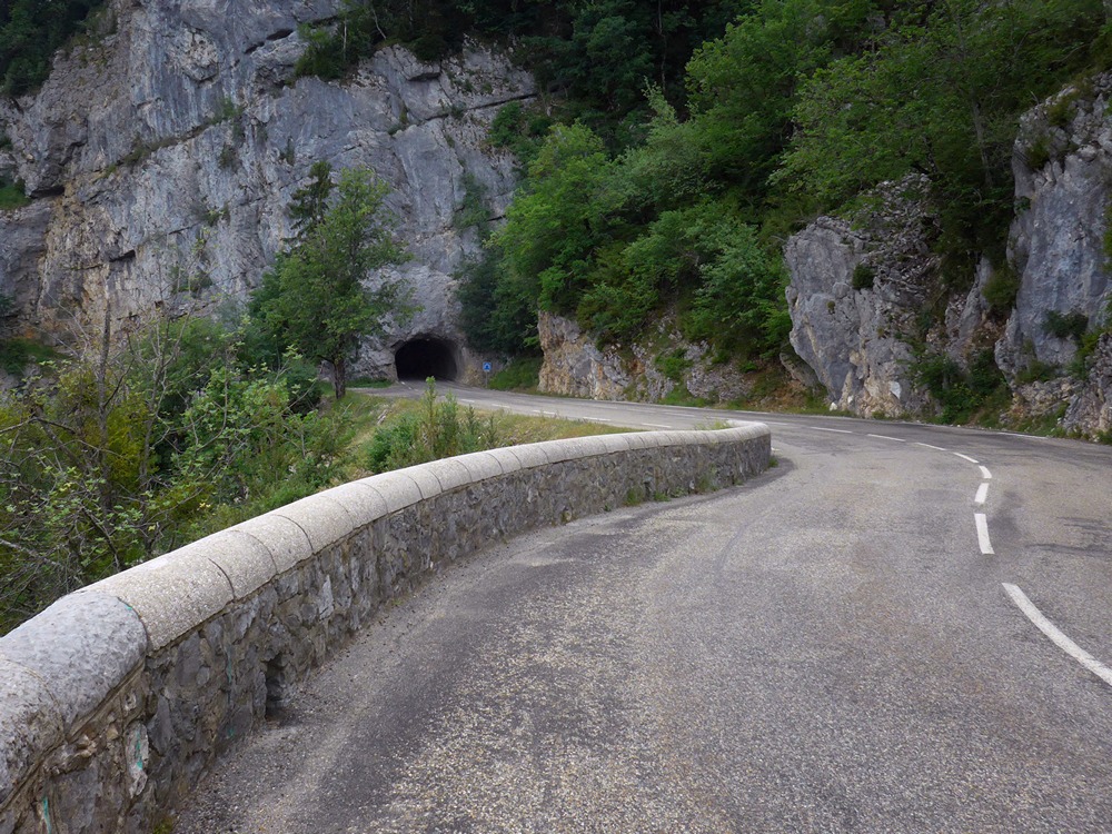
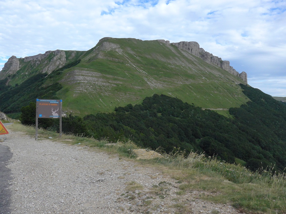
Soon I reached the Col de la Bataille. What an amazing sight. The road is on a ridge with a steep drop either side, and a tunnel at the end for good measure. Riding across this, and some of the previous couple of miles, was scarier for me than Combe Laval. Again, photos cannot do the scenery justice, much as I try. I was very pleased that I had decided not to cut the ride short earlier. This must be one of the more spectacular passes in the Vercors and I’m glad I pressed-on to see it.
Now it was time for the downhill home. For most of the ride I’d been cold and at times exhausted, with my neck aching between the shoulder blades, as it is wont to do when cold. I’d forgotten that it’s several degrees cooler at these altitudes, especially with the forest and the lack of sun. But at least I no longer had to worry about putting any more effort in. It was 15 miles or 39 minutes of total downhill (except for a couple of hundred yards near Léoncel). And none of the loose gravel that I’d seen earlier.
That’s the way all rides should end. But not what happened next. After I’d got back to base, I tried to upload the ride to Strava and discovered that the data was corrupt – a not uncommon Garmin problem, according to Strava. I spent the next several hours finding out what was wrong and fixing it. That wasn’t what I needed after such an exhausting ride! I just wanted to sleep!
Addendum
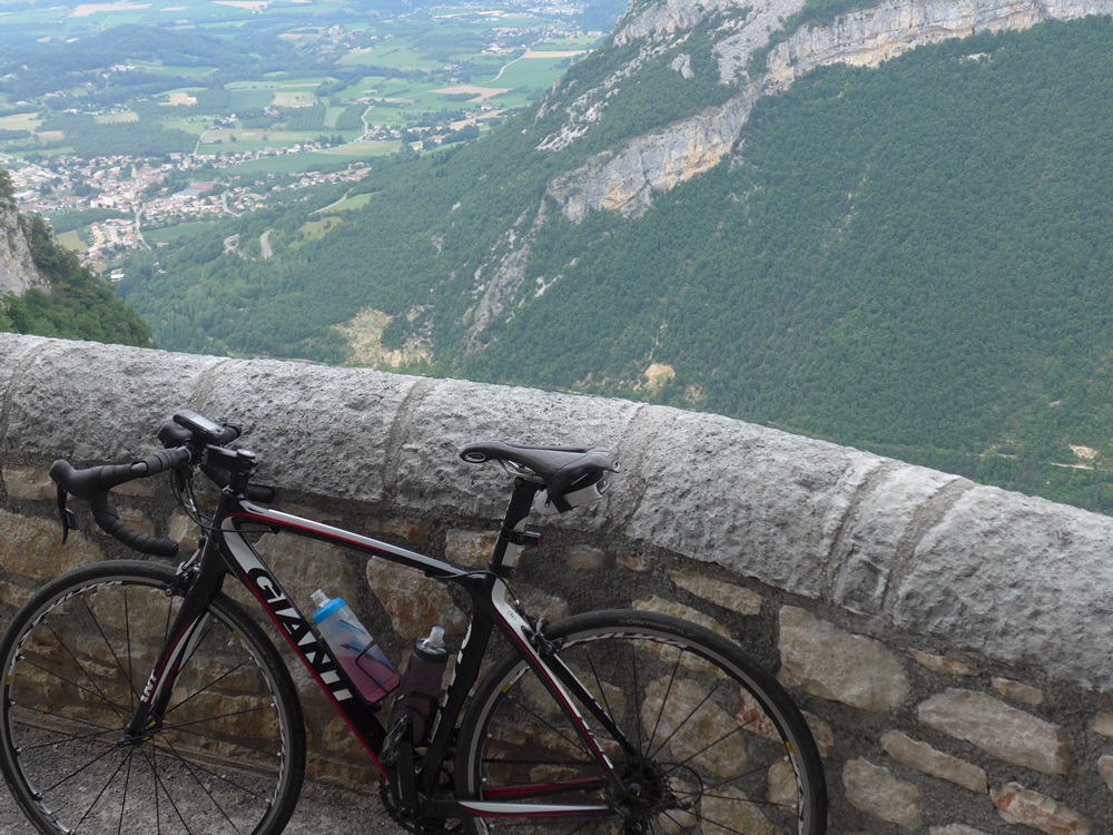
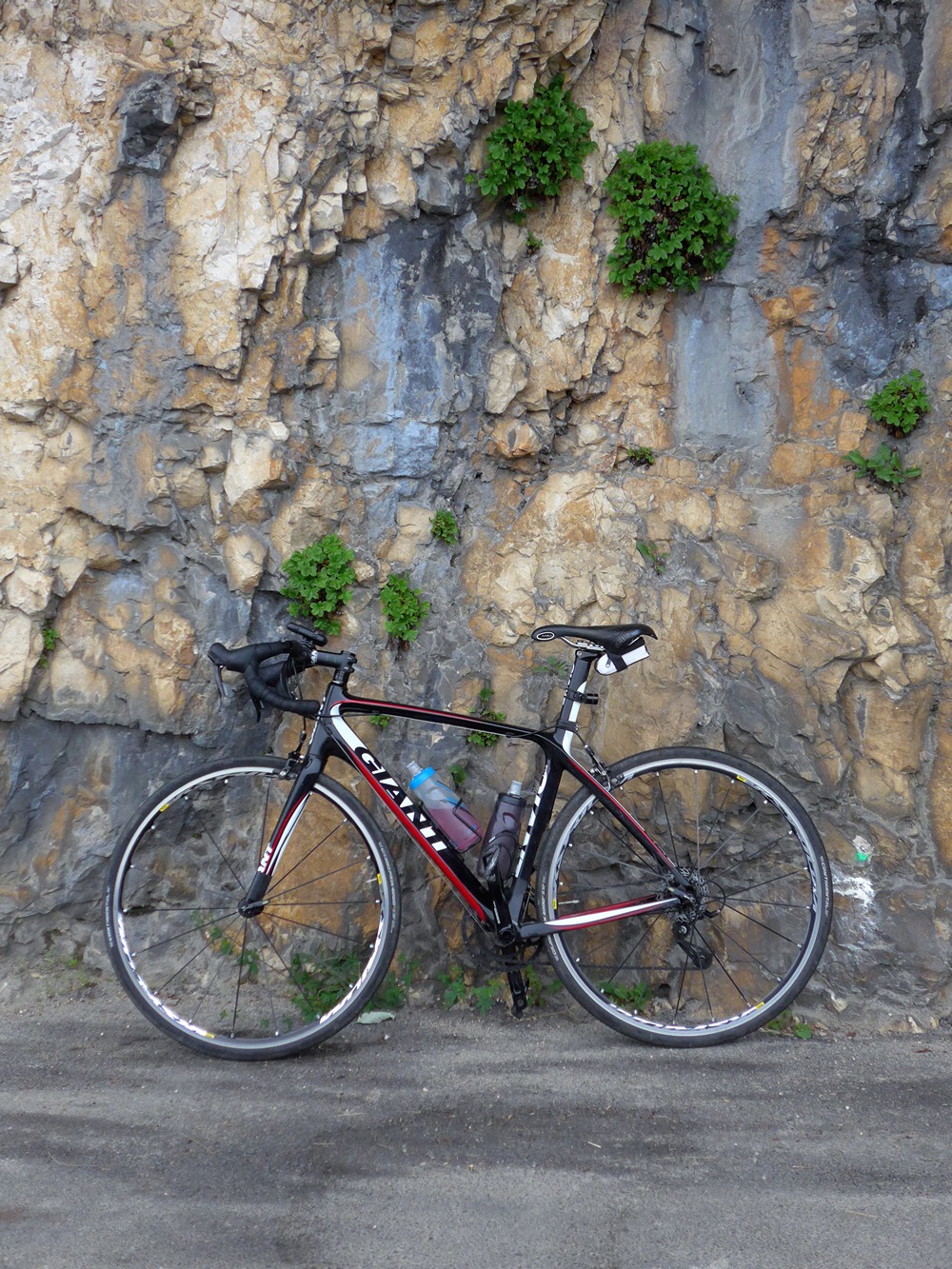
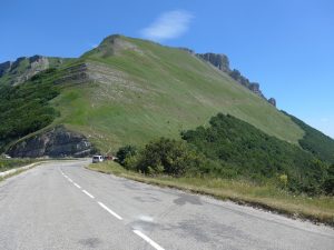
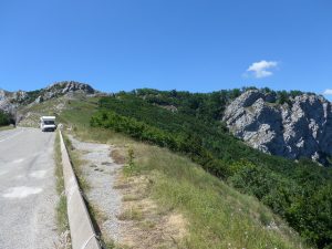
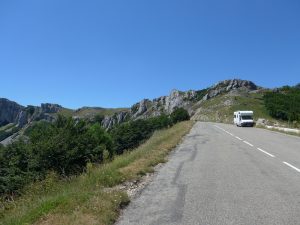
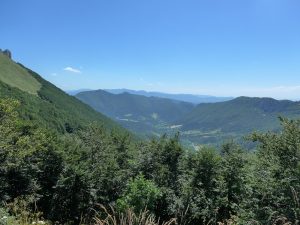
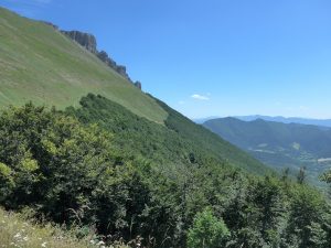
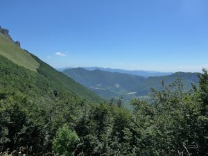
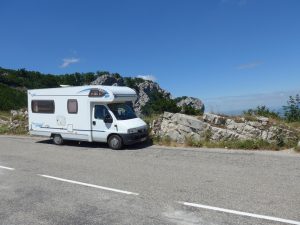
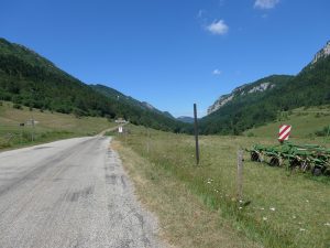
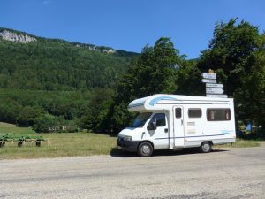
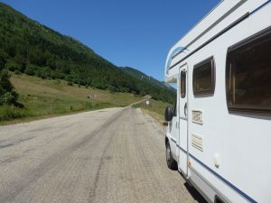
I woke the next morning to cloudless skies. So I drove my van back up to Col de la Bataille to get some sunny photos!
Gallery
Fuel












Brings back memories of 19 years ago when Mrs D, our son (age 11) & I cycle camped across the Vercor. I had a ‘bob’ trailer on the back. After we climbed the Col Rouseau from Die I crashed on the descent, a result of said son nudging the ‘bob” and making it wobble. Within 5 minutes there was a doctor on the scene and within 15 an ambulance. Luckily I was ok and we continued the tour. Wonderful area and very little traffiic, even in August.
Thanks for your comment. I’m glad you were OK. You’re right – there is so little traffic in this paradise. Col de Rousset blog post coming up next! When you were there 19 years ago, did you get to ride Les Grands Goulets (closed since 2005) ?
Yes. I rode a loop on my own, partly in a thunderstorm. Didn’t know it has been closed. Son visting and we have been reminiscing. On the same holiday we rode up the Ventoux-unladen.
I envy your having done Les Grands Goulets. Many people lament its closure. There’s a long tunnel there now. Blog report coming in next few days…