Distance: 42 miles. Elevation: 7081 ft.
Col de la Charmette | Col de Clémencière | Col de Vence | Col de Palaquit | Col de Porte
I planned this route to Col de la Charmette last summer, after having returned from my May french tour, during which I had completed many of the cols in the Charteuse massif. I guess I was seeing which ones were left to do. During my research I came across almost mythical accounts of this northerly climb. I learned that:
There was a steep climb through the forest to a monastery; there was a road prohibited to all vehicles including cyclists; there was a spooky tunnel with very bad surface through which you must walk, so dangerous was the uneven floor; there was a balcony road in a dilapidated state plus terrible surfaces and intense gradients.
It sounded perfect for me!
I must admit that I got something wrong; I mistakenly thought that the whole of the road to the monastery and beyond was prohibited. So I had always planned to do this ride on a Sunday, with the idea that there would be less chance of meeting any authorities. But during yesterday’s meeting of the CCC, I spoke to a couple of riders who knew this climb, one of whom lives in the area and assured me that she regularly does this climb and it is not prohibited. Another said that there is no option other than walking through the tunnel because the surface is so bad.
So today, a Sunday, was the day. Weather due to be dry, mainly cloudy and reasonably warm. That forecast turned out to be accurate. I fuelled-up with a breakfast of porridge and honey.
Obviously this was a job for my gravel bike. Before leaving for the ride I had to change the front disc pads, and refit the chain, which I had removed, intending to install a new one, but didn’t have time this morning. So after all the faffing (and a PRB), I eventually left, in a rather anxious state, around 11:30.
Short sleeved top/base layer, civy shoes, cap. No arm warmers or NPT, but had my lightweight rain jacket wrapped around the top tube.
From Saint-Laurent-du-Pont it was less than half a mile to the turn off.
And yes, I saw that the road is only ‘interdit’ at 4km. Good.
The two miles to the monastery is at an average of 11.2%, which took me half an hour. Initially in second gear, I changed to first eventually. I passed two other riders, also climbing. At one point my Wahoo thought I was off course. I assumed it was the presence of the rocks affecting the GPS signal, but later discovered that Google maps has the road in the wrong place – all other map services are correct. The climb was entirely through forest, so no photo opportunities, which was lucky because it was too steep to stop really. Needless to say it was really peaceful, the only sound being BEF.
Shortly before reaching the monastery there was a short tunnel,
.. on the other side of which there was something of a view down over the Gorges du Guiers Mort. I stopped and chatted to François (whose name I learned later), one of the cyclists I’d seen earlier. It was also their first time climbing this side of Col de la Charmette and he wondered what the surface would be like further on. I told him that I’d been told you must walk through the tunnel. Little did I know then, but I would meet them again later in the day.
Ten minutes later I passed the monastery.
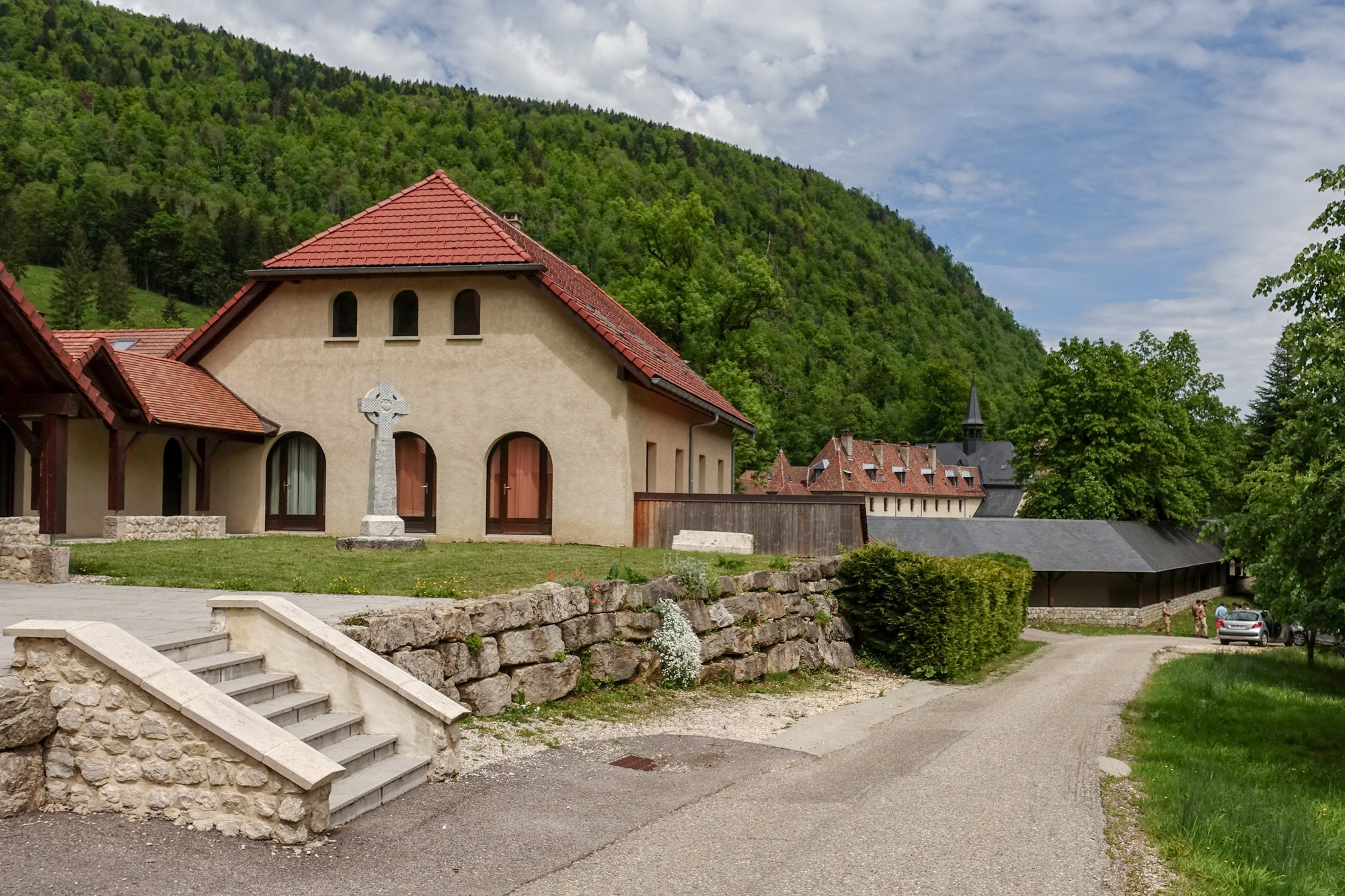
Just after that there was a barrier
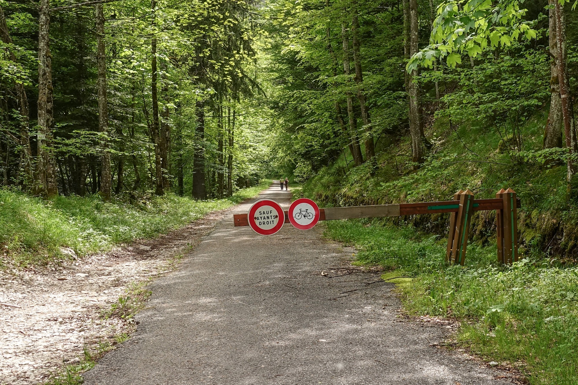
The gradient ‘eased’ to 7.5% for the next half mile to the Tunnel des Agneaux. It looked quite ominous at first
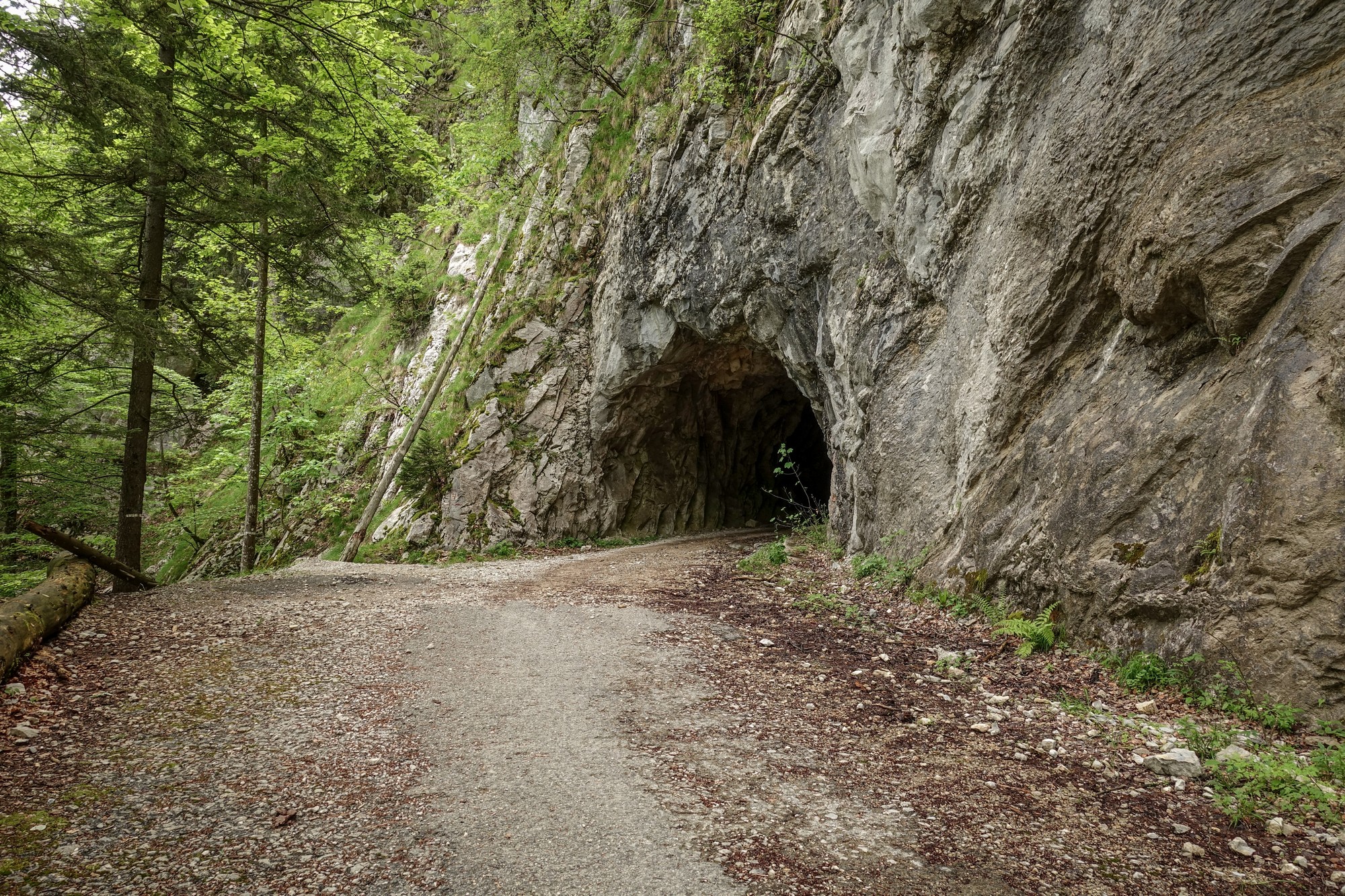
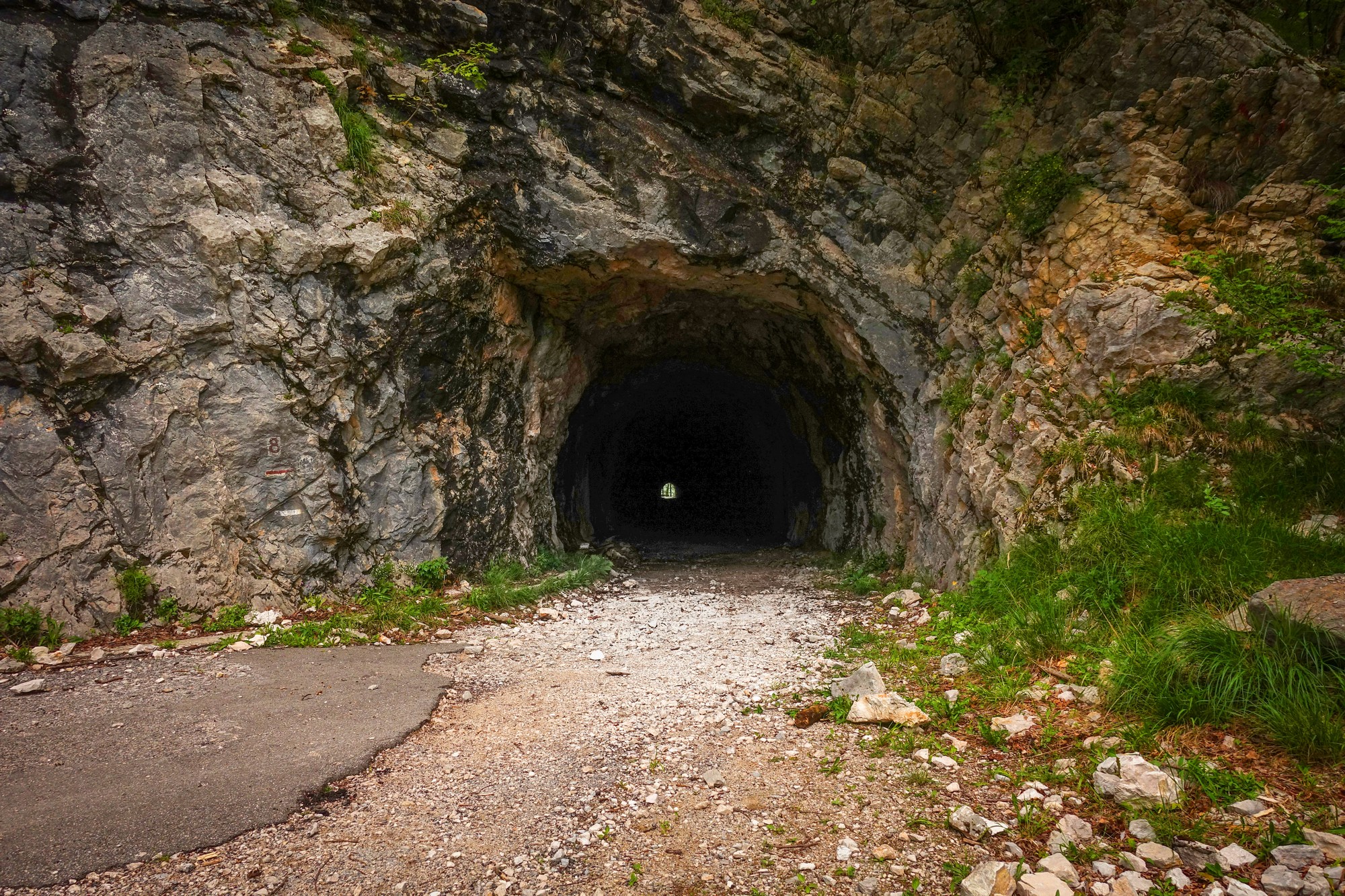
.. but as I got nearer I realised you could see the other end and it didn’t seem that long.
I dutifully got off my bike, took my shades off, switched my front light on and started walking. A monk walked past me as I stopped to take a photo inside the tunnel.
The surface didn’t seem terribly bad, so against all advice I rode the rest of the way. It was manageable.
The road beyond the tunnel is cut into a steeply-angled rock face
.. from which there was a view down on Gorges de Guiers Mort, and the road along which I would be riding almost six hours hence.
Soon there was another short tunnel
… on the other side of which was a large group of excited school children just sitting down to have their lunch.
And another view
Then another tunnel
As can be seen from the photos, the road surface was a mixture of tarmac and gravel, and quite easy to ride over.
After that last tunnel the road turned right to start heading SSW, following a babbling brook, Le Tenaison, with the forest cut further back from the road.
It was a lovely spot. From the first tunnel to this point, monks walking, often in pairs or threes, were a frequent sight. They all said ‘bonjour’, so they were not from a silent order. The gradient had eased somewhat as well, going as low as 3% for a while.
But the good times were short-lived. The road started climbing more steeply again, the sound of the stream fading away below.
I wondered how far it was to the col, and how steep, so I looked at the gradient page of my Wahoo.
The section in red told me that I was in the middle of a steep section before the col. In fact the last mile to the col averages 11% with the last third of a mile at 12%. Eventually, I felt the breeze pick up and saw blue sky near the horizon. Up ahead, I caught a glint of sunlight through the trees reflected off a car roof. I had reached the Col de la Charmette.
The first thing that struck me was how busy it was here at the col. Dozens of cars were parked, their passengers presumably walking in the forest. There are many walks from here. In fact, I discovered later that you can walk to Chaumont Som from Col de la Charmette in less than 4km. I hadn’t realised that the two highest points of my ride today were so close. I wouldn’t get to Chaumont Som for another four hours.
On an area of grass, a trio of musicians were sitting, looking like they were about to play some music. It wasn’t a performance per se; they’d just found a nice place to play. I sat on a rock nearby to eat (half) my sandwich, and luckily for me they started playing. What an idylic location, with the mountain backdrop.
I couldn’t resist video-ing this wonderful occasion. There was only me and one other person listening to them.
I briefly applauded after they’d finished, to show my appreciation.
After getting a col photo, I stood chatting to another French cyclist for ten minutes or so (not the one from earlier). He had arrived via the southern approach. I told him about the way I’d came. We discussed climbs in the area, etc. His English was very good. He lives in Grenoble and we agreed how lucky he was to have so many beautiful places to ride hereabouts, right on his doorstep. He mentioned Tunnel Mortier in the Vercors and said that he’d carried his bike across the landslide blocking the road, but he hadn’t realised that the road was actually clear a few years ago when I’d ridden there.
I put my rain jacket on and started the descent. The road down from the col was mainly through forest. Back on proper roads now. It was steep – the first four miles at 9%. There were lots of cyclists around today.
The road descended to Le Gua, a place I recognised, its name etched into my brain after having been diverted through here due to a road closure on my tough Col de Porte ride last year.
Then came an amazing view of Le Néron.
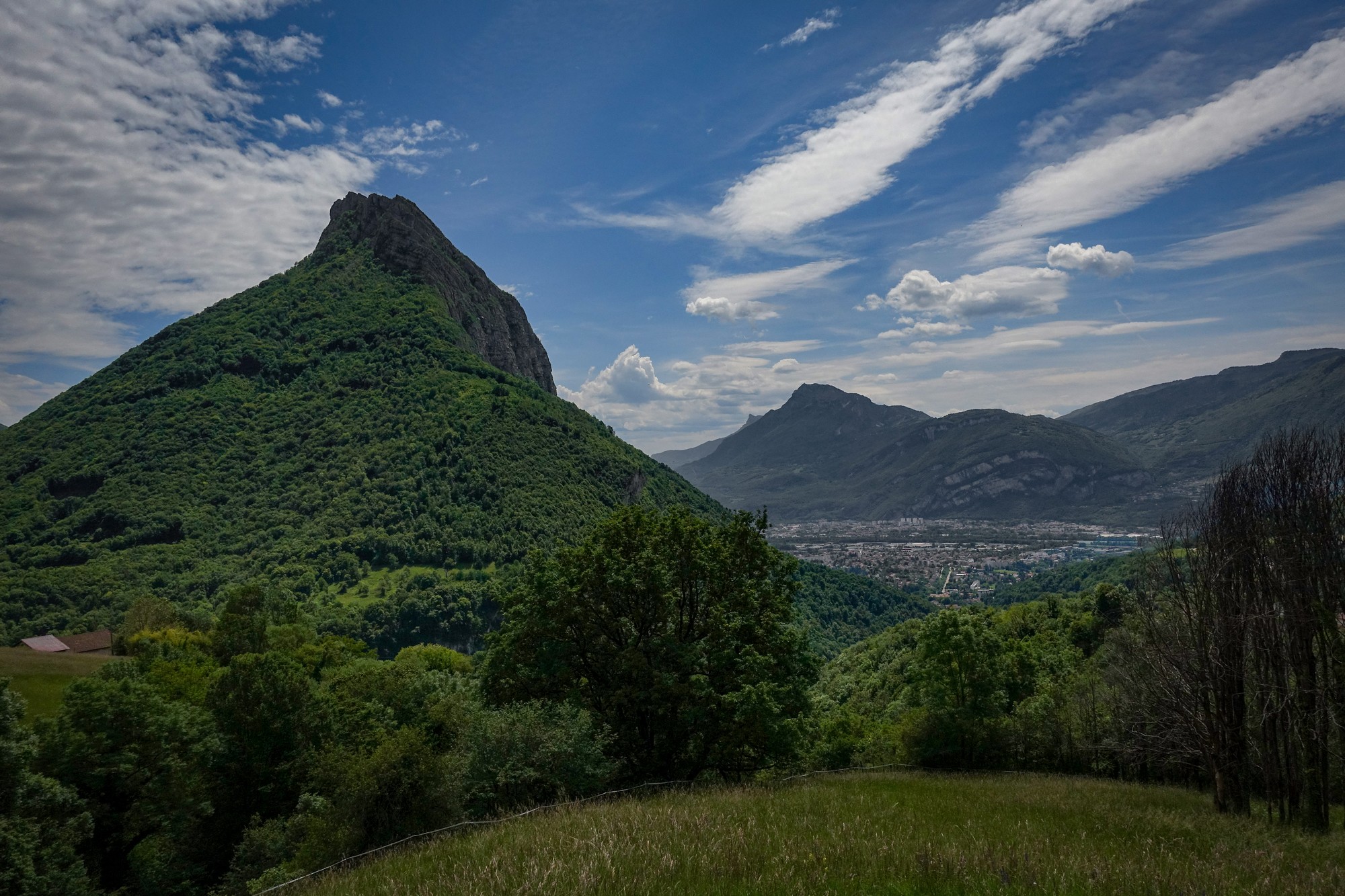
It was round about here where I once again met François. I asked him what he’d thought of the tunnel after the monastery. We both agreed that it hadn’t been as bad as everyone had led us to believe. He noted that people tend to exagerate to make themselves look heroic.
We parted ways again. The road continued to descend but not as steeply. The next village was Quaix-en-Chartreuse. I was taking a photo of the upside-down village sign when he passed me again, shouting “do you know why the sign is upside down? It’s French farmers protesting against government policies”. Aha! So now I know. I had seen quite a few inverted village signs in the Jura the day before.
There was lots of activity in Quaix-en-Chartreuse, and loads of cyclists.
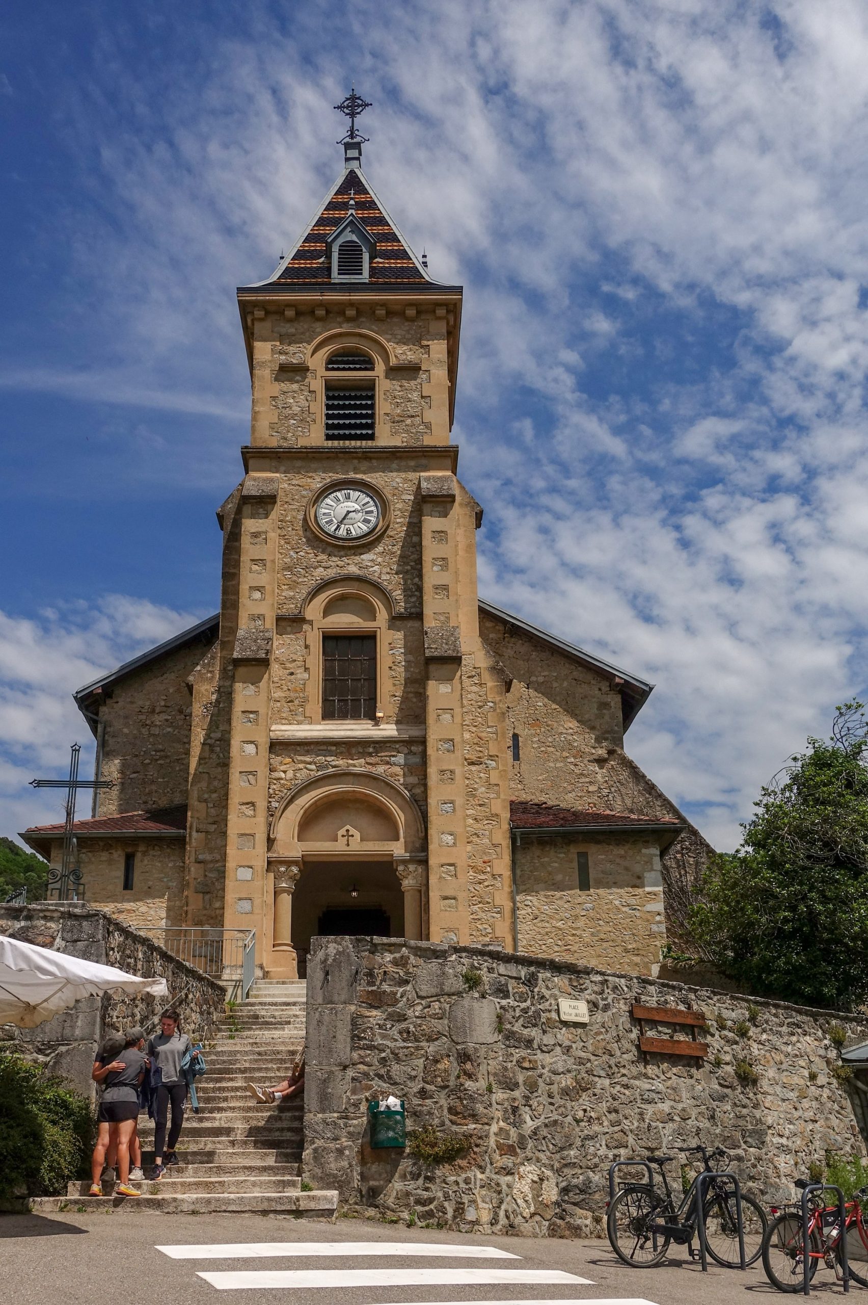
A mile beyond Quaix-en-Chartreuse, I reached the lowest point of my ride, altitude-wise. The following thirteen miles would all be uphill. And that started with a mile at 9.6% to Col de Clemencières; I hadn’t been expecting that. Although near the top I realised I was in 2nd gear! I had to use a bus stop as a col sign.
I made some ride notes on my phone and had an energy gel. Just after setting off from there, François, caught me up again and we rode together chatting for the next 25 minutes to Col de Vence. He was also from Grenoble and his English was very good. We discussed different parts of the Alps. He was quite impressed with my widespread knowledge of different climbs. He recommended Col de Granon from Briançon, and said it was really steep nearly the whole way. He was out today with a friend and another couple, and they all caught us up at Col de Vence as we stood there chatting. He proceeded to tell his friends that I was still going to do Chaumont Som after Col de Porte. They all seemed impressed with that.
And that’s where we parted ways, with a handshake and au revoir. François, if you’re reading this, thanks for the company and good luck with all your future cycling.
It took me 25 minutes to climb the (steep, in parts) 2.5 miles to Le Sappey-en-Chartreuse. I was beginning to feel drained and the effects of the sun, such that there was, were getting to me. I had a sort of head/neck ache. I refilled my bidons with water from a tap and sat on the bench in front of the church to eat the second half of my sandwich and have some pain killers.
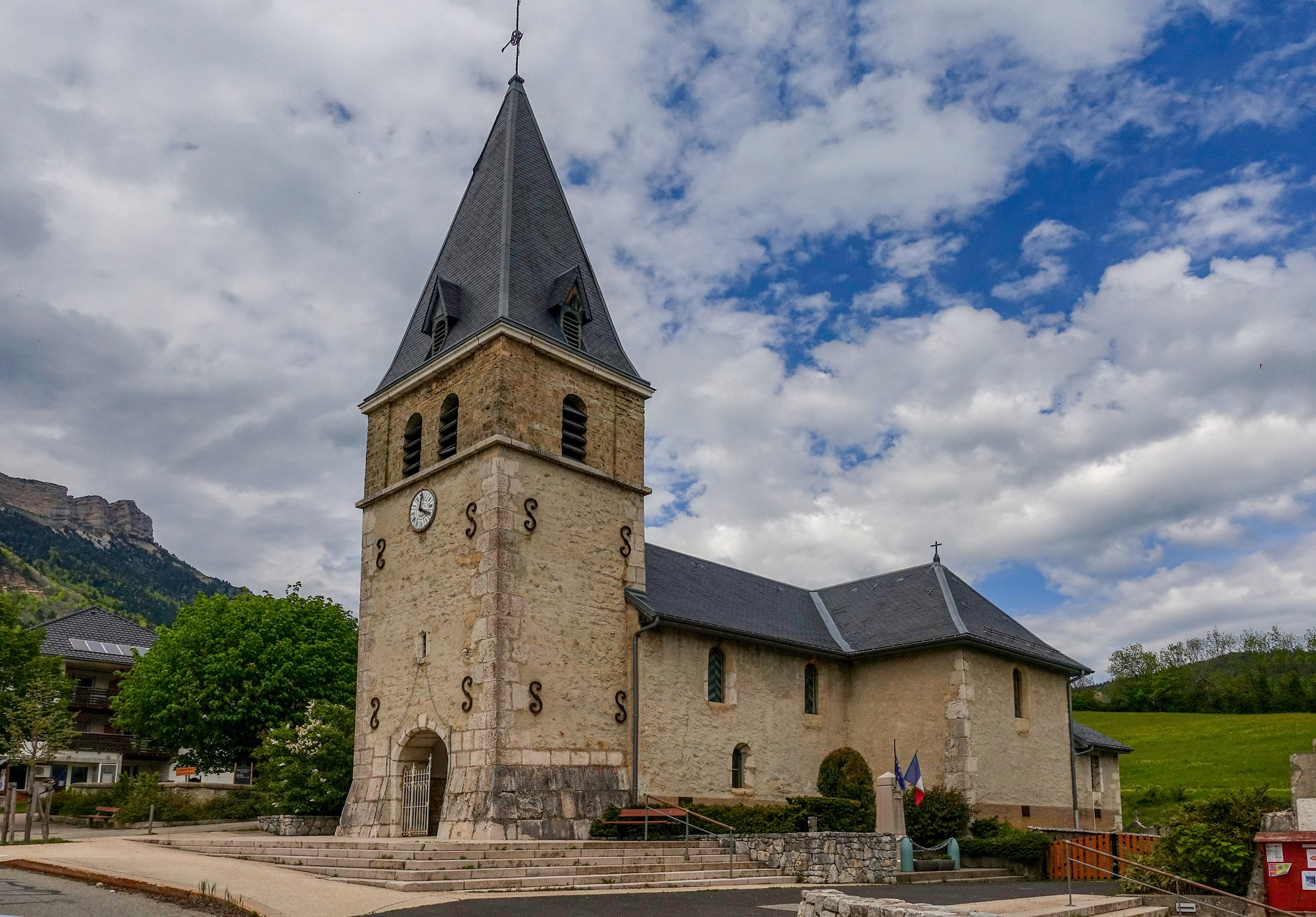
I still had the ‘optional’ climb to Chaumont Som coming up in a few miles. I’d have to see how I felt when I reached that point. So I had an energy gel and started riding again.
It was another three miles at over 7% to col de la Porte, via Col de Palaquit about midway.
I was feeling the effects of the effort and the sun. My neck and head were aching at first until the pain killers eased the discomfort. I drank more now that I had two full bidons.
Col de Palaquit is where my route from last year joined today’s, and I started recalling the state I was in at this point on that ride. Today I was nowhere near that level of distress, although the chore of turning the pedals relentlessly uphill was inevitably taking its toll.
Once I reached Col de la Porte I mentally relaxed, because I knew there was no more ‘necessary’ climbing to be done, only the ‘voluntary’ bit to Chaumont Som. I could give up at any time from this point on, knowing that it would be all downhill from wherever I turned round if I decided to abort this last climb.
I turned off towards Chaumont Som. The first mile is relatively flat. This is followed by two miles at 9.3% average but with steeper bits culminating in 12%. That is all in the forest.
I caught a glimpse of far-off mountain tops catching the sun.
The last mile or so opens out to pasture with far-reaching views. I saw the snow-capped peaks of the Chaîne de Belledonne catching the late sun, and I realised that if I’d left earlier in the day this view would have been more spectacular.
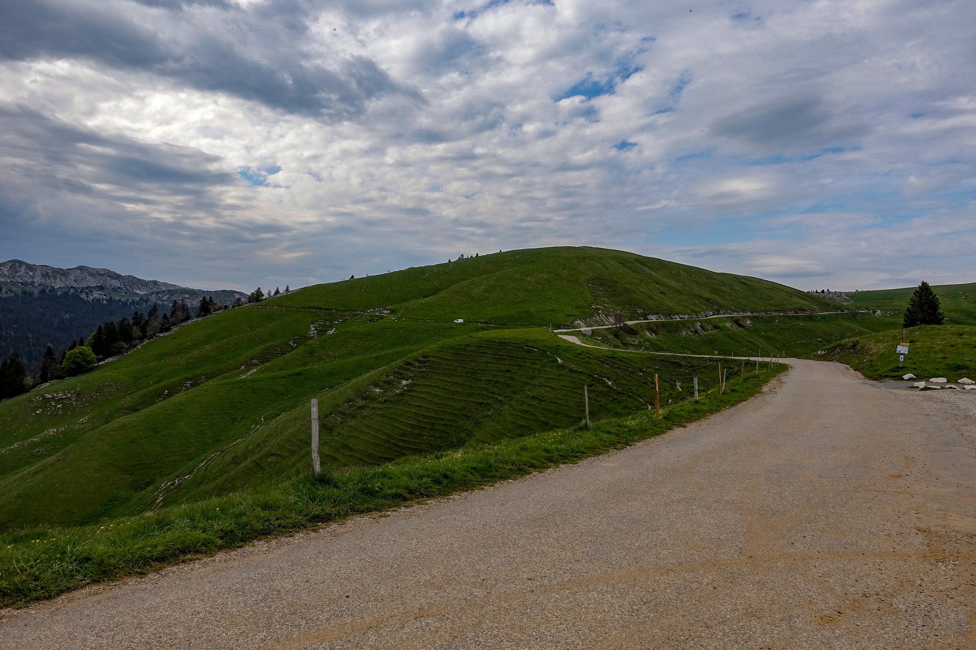
I reached the Auberge du Chaumont Som, but then saw a sign to the summit, but when I rode a bit further I realised it was just a footpath.
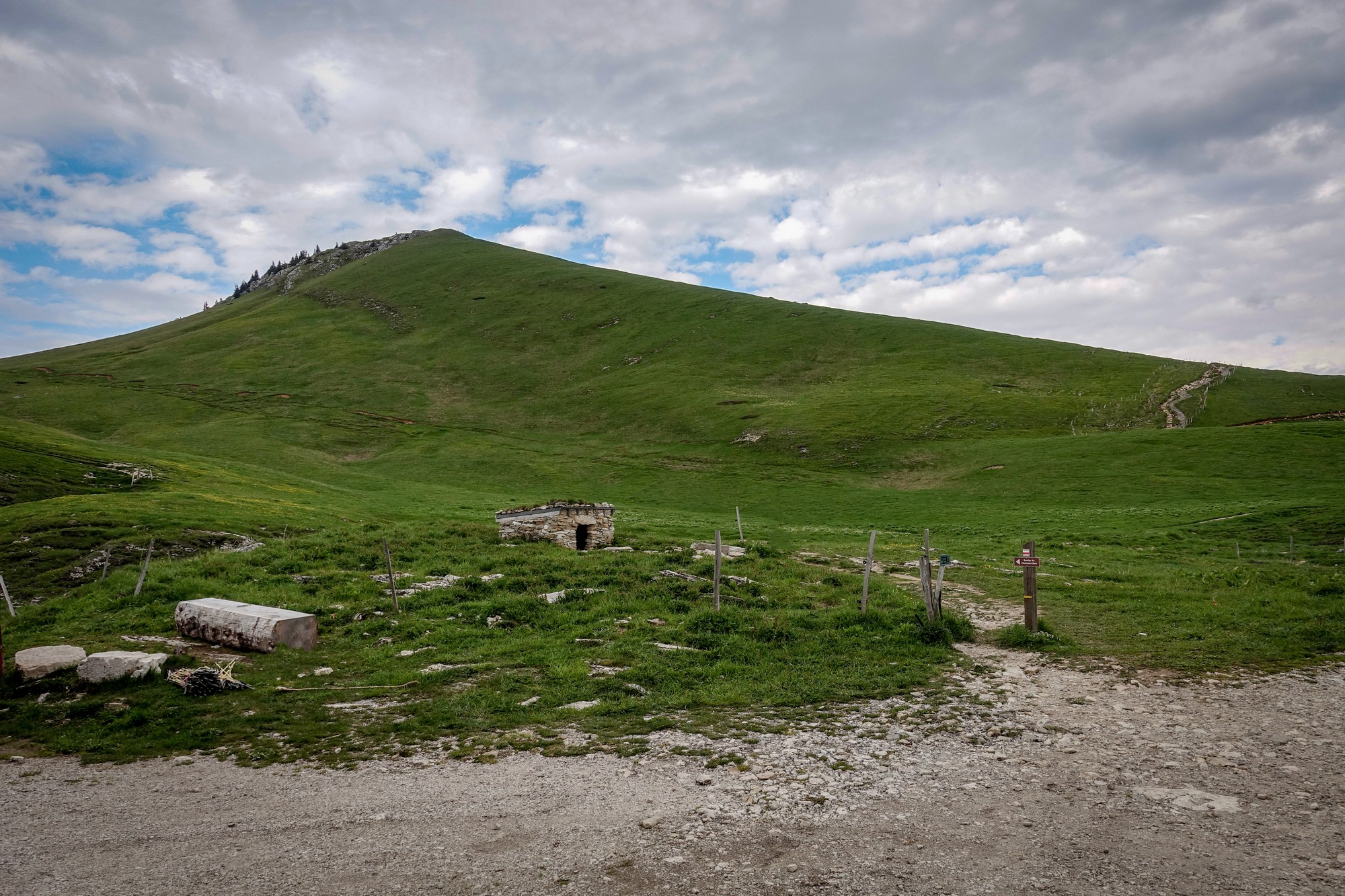
François’ words of advice regarding Chaumont Som were ringing in my head but I couldn’t remember exactly what he’d said. Something about not going to the farm (which presumably is where I was) but going somewhere else. So I’m not sure if I missed some other viewing point up there. Anyway I had made the climb and that was enough to satisfy me.
I put my rain jacket back on and set off for the fifteen miles of virtually continuous descent.
On the open road at the top I took some more photos.
Once back in the forest, the road down is steep (obviously being the same road I’d climbed!) and with a very uneven surface, making for a shaky descent that’s tiring on the wrists, arms and neck.
Back on the main road, the descent from Col de Porte is amazing. One of my favourites. A perfect road surface and just the right gradient to be able to let go of the brakes for most the time. The enjoyment was only marred slightly with my worry about low tyre pressures (see notes). After five miles I turned left at Diat to enter the Gorges du Guiers Mort, where, after a couple of miles of only gentle descent, the road once again drops at a steeper rate, sweeping around bends, following the river. It was cycling heaven, the reward for the tough climbing earlier in the ride.
I recognised the Tunnel de Fourvoirie, and remembered that the last time I was here, I had failed to investigate the old road that the tunnel bypasses, so I didn’t want to miss this opportunity. There is a strong fence guarding the old road on the south side, but once I’d ridden through the tunnel I looked back and saw that it was easy to access from there.
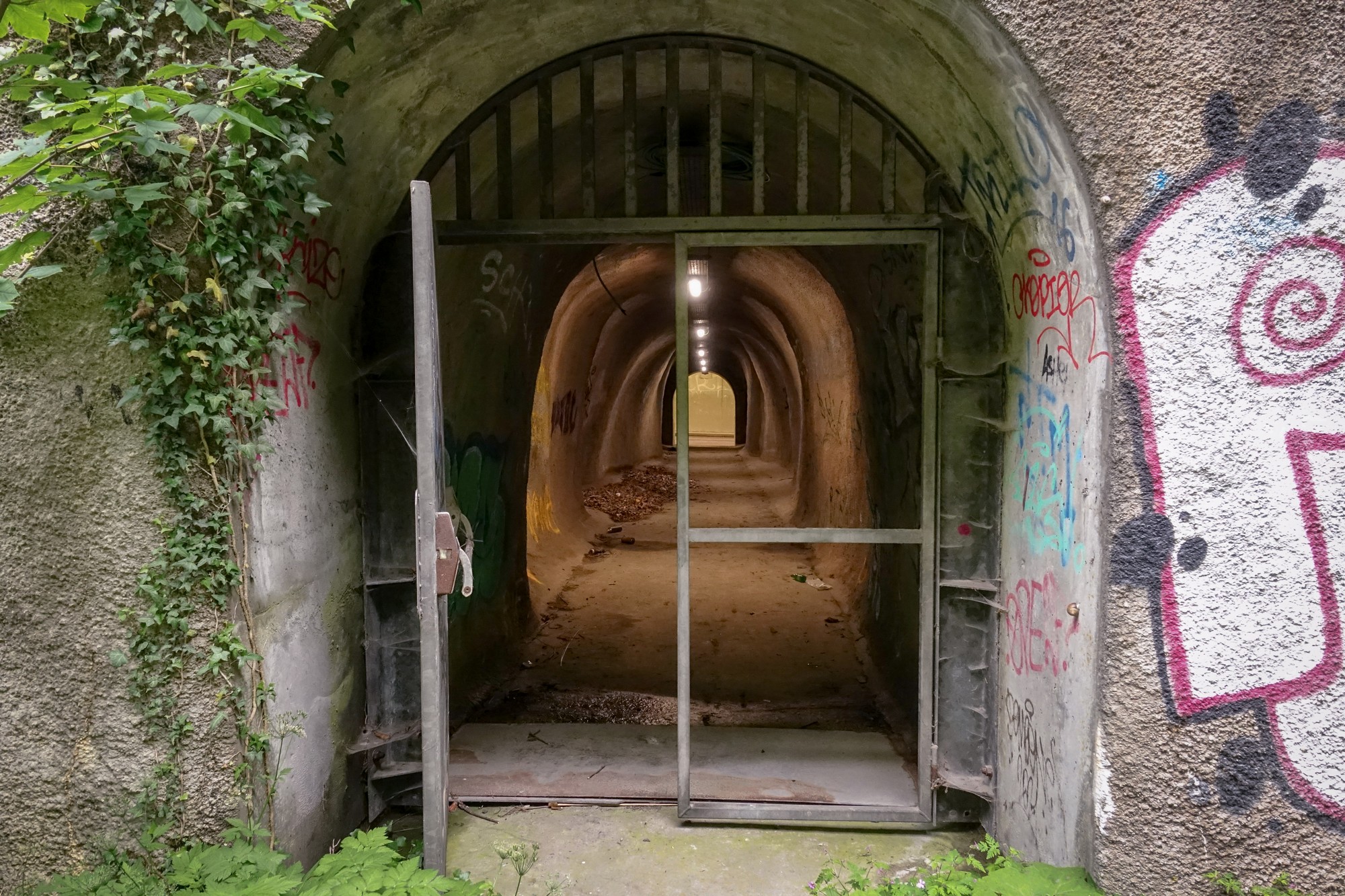
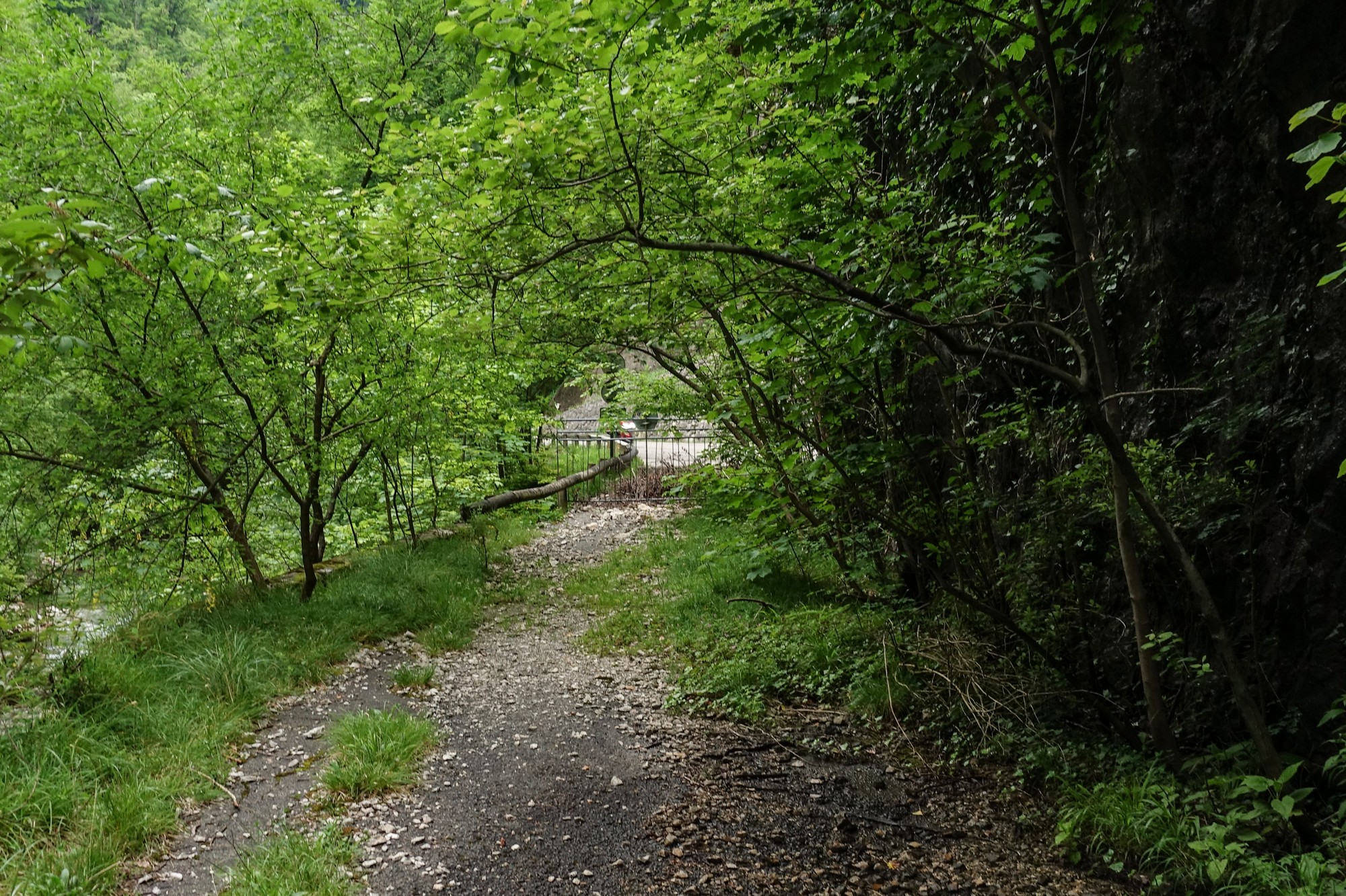
The Gorges du Guiers Mort has a fascinating history connected with the Carthusians. Whilst trying to discover when this tunnel was built, I came across an excellent document discussing the restoration of the region’s heritage. Apparently there is a budget to reopen this closed road section to pedestrians, which makes sense as you would not want to walk through the tunnel!
I also discovered (by virtue of that same document) that the name of the tunnel, Fourvoirie, “comes from ‘forata via’, the road cut by the Carthusians to access the Desert [an area of the Chartreuse once controlled by the Carthusians]. Coming from St Laurent du Pont, this is the obligatory passage allowing access to the Grande Chartreuse monastery.”
One and a half miles later my ride finished, back at Saint-Laurent-du-Pont.
What a day! It doesn’t get much better than this :- the epic, tough and somewhat prohibited climb past the monastery; the spooky tunnel; the views; the babbling brook section; the beautiful music at the col; the friendly local cyclists; Chaumont Som; the amazing descent from Col de Porte; Gorges du Guiers Mort. And to cap it off the weather was ideal.
So that’s another ride that has lived and grown only in my imagination and dreams until now, finally substantiated into reality; moulded from the ‘what-if’ of the future through the all-too-brief, maybe non-existent, present and cast into the immutable past.
Bloody hell, I’m getting philosophical again – must have been a good ride!
Ride Notes
- Low tyre pressures I deliberately left low pressures in my 35mm tyres for today’s ride, expecting to be riding over terrible surfaces. In the end I needn’t have worried about that. But when descending at speed I’m sure I could feel the tyres shifting or flexing to some extent on curves. This worried me enough to back-off my speed on bends. That may have been in my imagination – I’m not sure. Having the low tyre pressures also meant that I had to power through all that extra rolling resistance throughout the whole ride!
Further reading
- Policies for the development of Guiers Mort and the restoration-preservation of its heritage – In French (right click to translate)
- The Carthusians – Wikipedia
Fuel
- 3.5 bidons High5 Zero sports drink
- 1 pre-ride Banana
- 3 SiS Energy Gels
- 1 HDM sandwich and 3 tomatoes
- ½ Trek Protein Flapjack
- 1 Mini Madeleine Cake
Gallery
Click to enlarge / see slideshow




Thanks again for taking the time to post your report Vince. I have ridden from Grenoble to Charmant Som twice and its one of my favourite rides for sure. Your additions have given me a good excuse to return soon!
Thanks Martin.
In fact it was your recommendation from last year that encouraged me to include Chaumont Som.
I highly recommend the northern descent from Col de Porte via Gorges du Guiers Mort, if you haven’t done it.
Cheers