Distance: 39.9 miles. Elevation: 6357 ft.
Col de la Croix de Fer | Col du Glandon
Today I got to tick-off another one of the cols on my ever-expanding list; the famous Col de la Croix de Fer (Pass of the Iron Cross), starting from Rochetaillée, about 10k north of Le Bourg-d’Oisans. I did three reports into my phone at various stages.
This report coming from the village of Le Rivier d’Allemont, 8.3 miles into the ride.
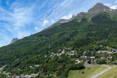
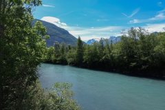
Early in the ride, just after crossing the Romanche river…
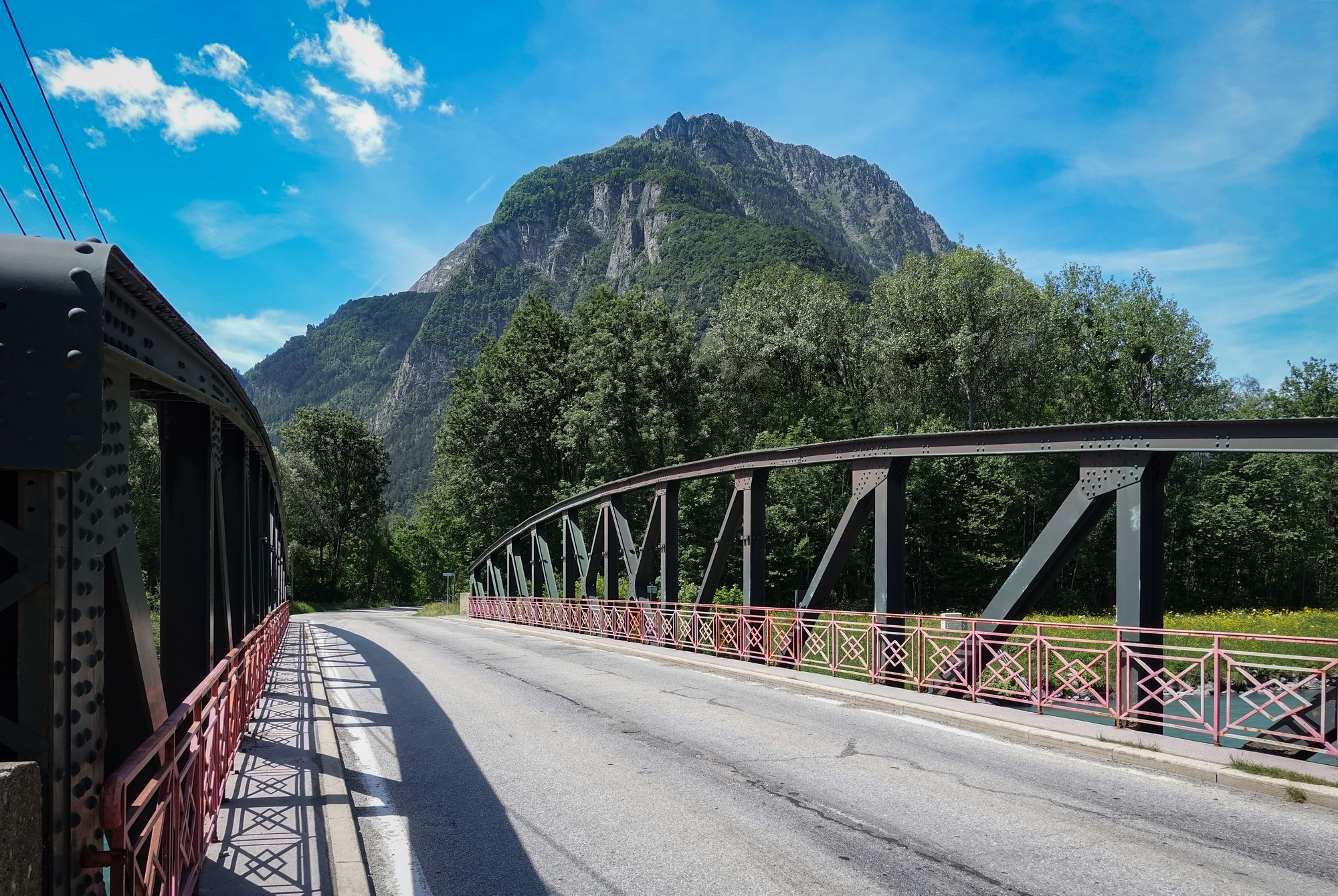
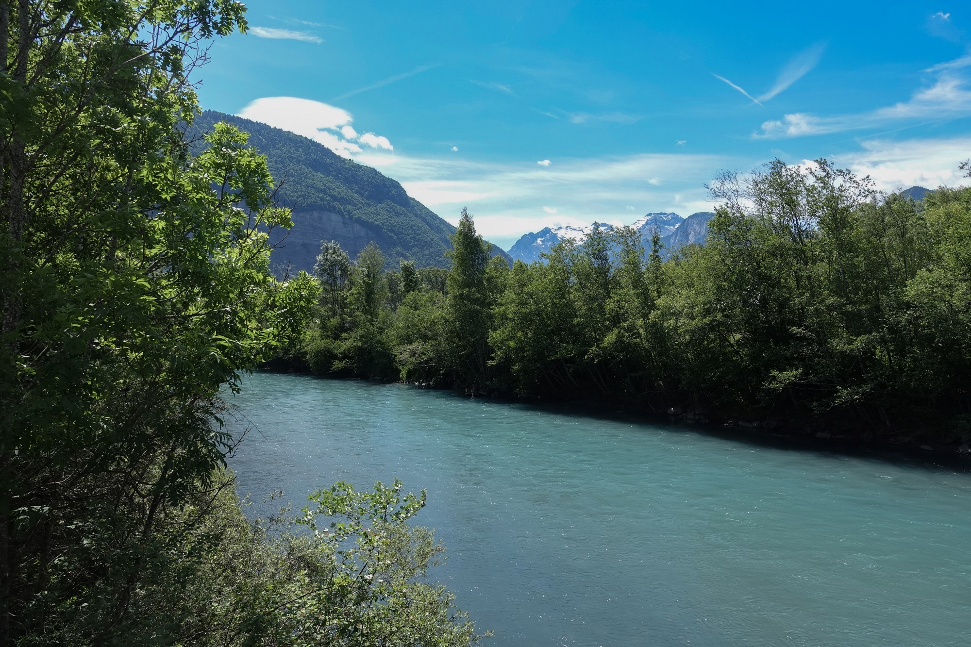
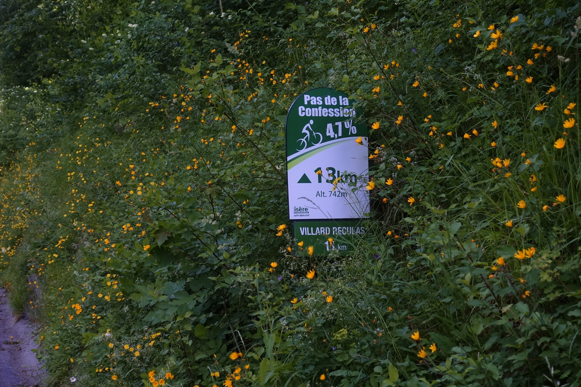
… I saw a sign for the Pas de la Confession …
… which confused me, and I wondered if I’d loaded the wrong route onto the Garmin. I stopped to check and all was OK. The wonderfully-named Pas de la Confession is on my list and I’ll do it another day.
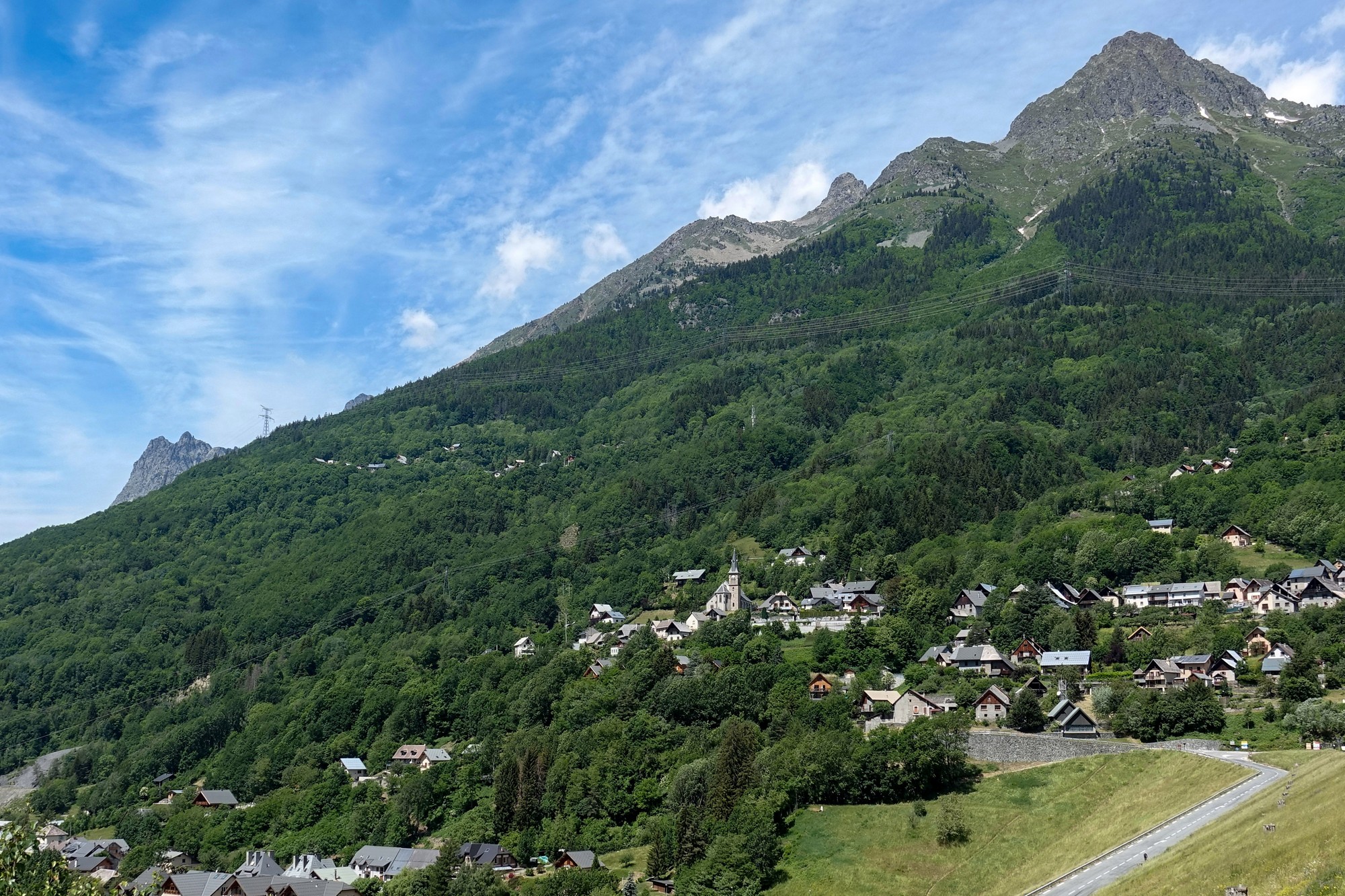
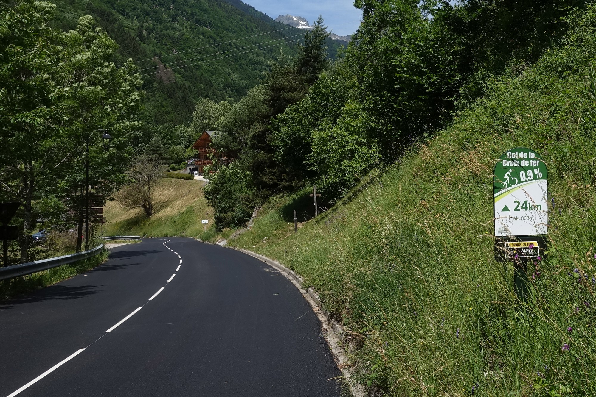
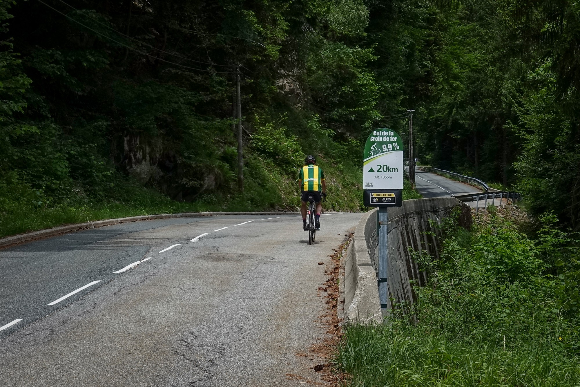
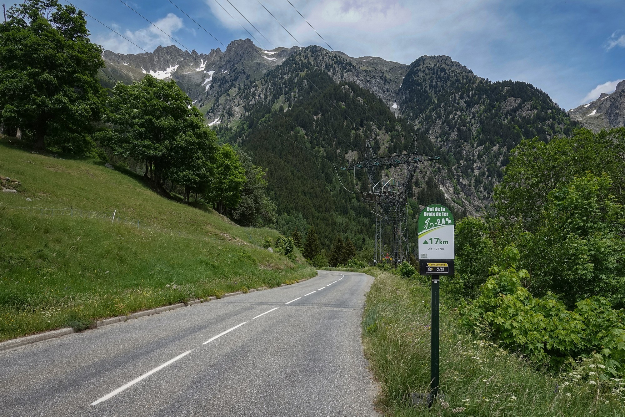
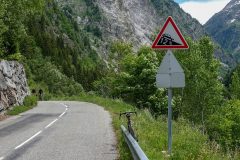
This is a very tough climb. After that first gradient sign at 24km remaining, we had 8.1%, then 8.2%, followed by 8.6%, and then the next one was 9.9%.
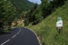
Conditions are absolutely ideal – there’s a hazy sun and the air is cool and the wind is actually blowing me up the climb. The road surface for quite a few miles is brand new – I could even still smell the tarmac.
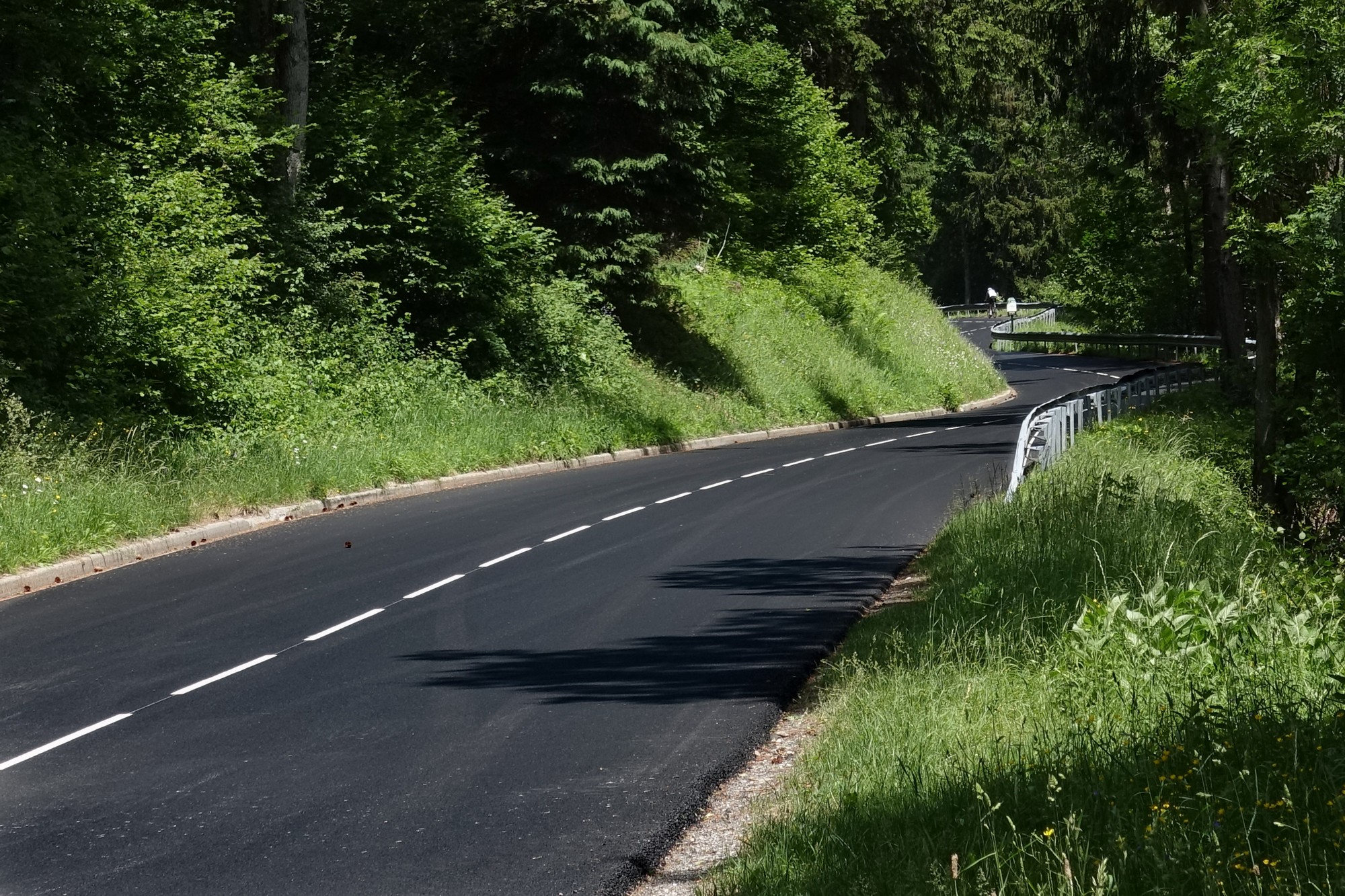
There is very little in the way of traffic. In fact there are more cyclists than anyone else. And for some reason nearly all of them are Dutch.
All along the road you can hear the gushing of water, although for the last few miles the road has climbed high above the noisy rush of the river, le Ruisseau l’Eau d’Olle, whose course the road follows. But after this stop I’ll be plunging down to river level again.
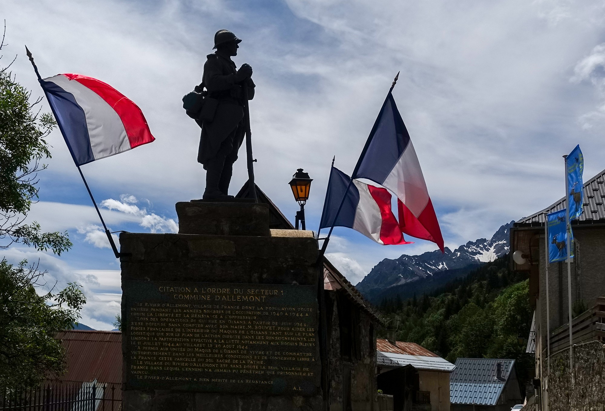
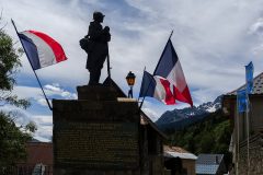
I stopped by the war memorial and had a banana before continuing my jourmey.
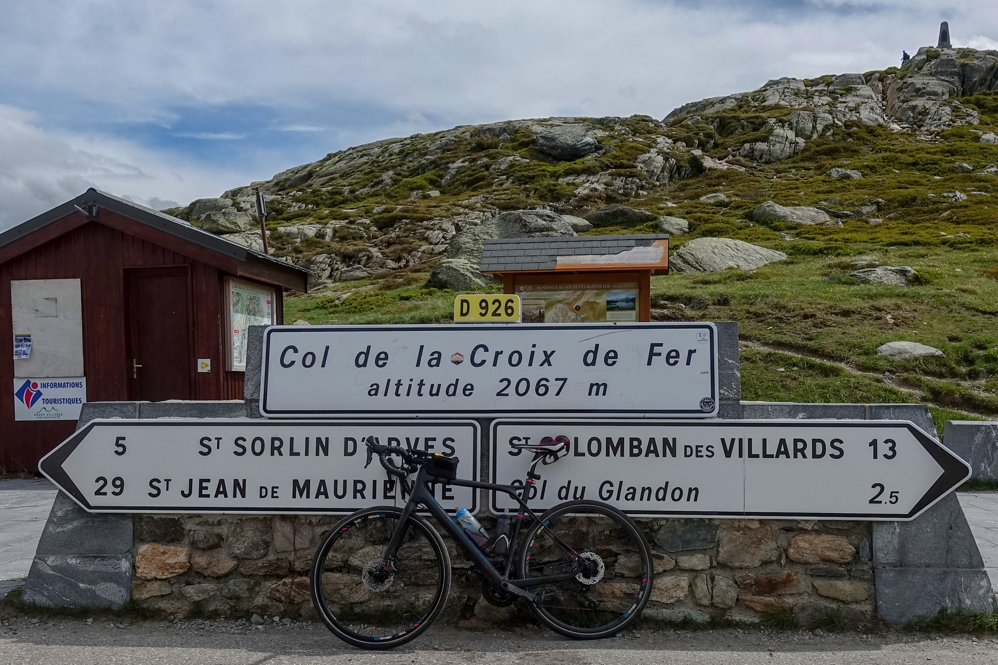
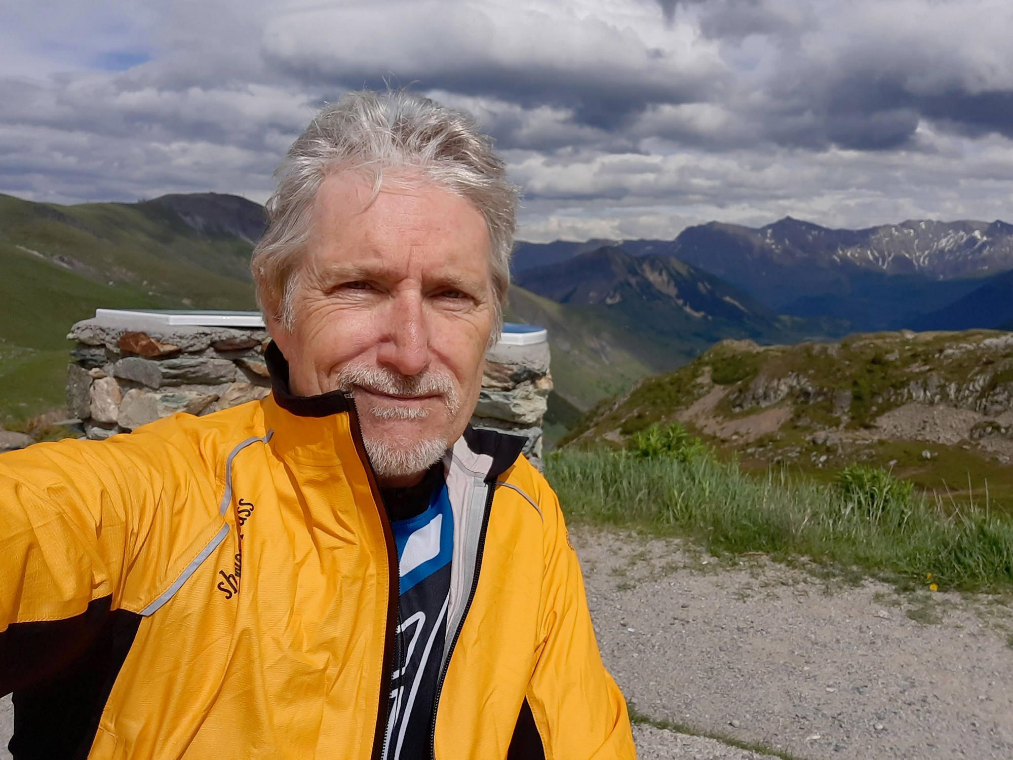
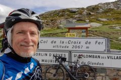
This report coming from the Col de la Croix de Fer
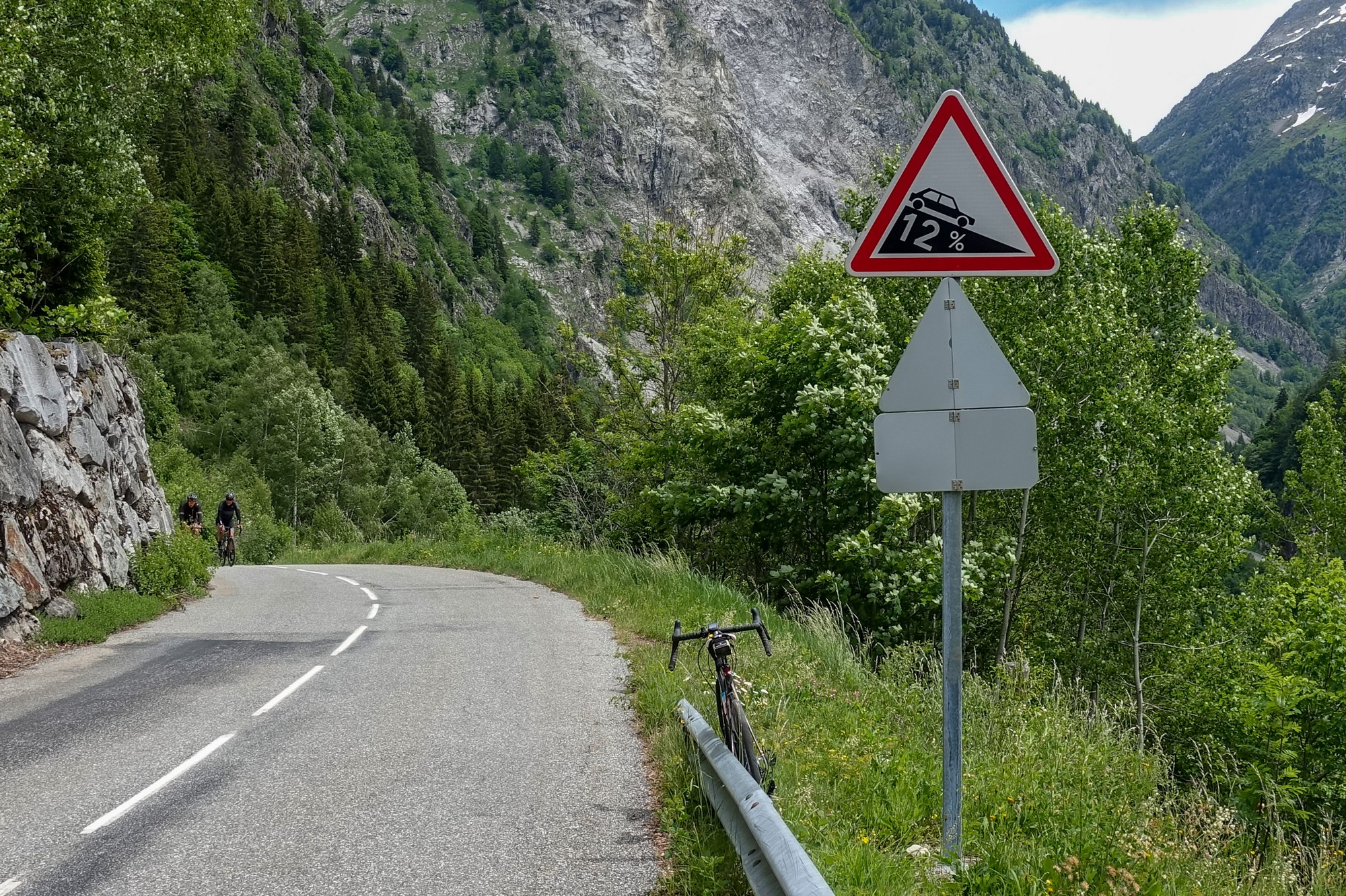
Soon after leaving the village of Le Rivier d’Allemont came the worrying sight of the road plunging downwards significantly.
Of course, I already knew the road would dip, having seen the profile of the climb, but I wasn’t expecting it to be 12%!
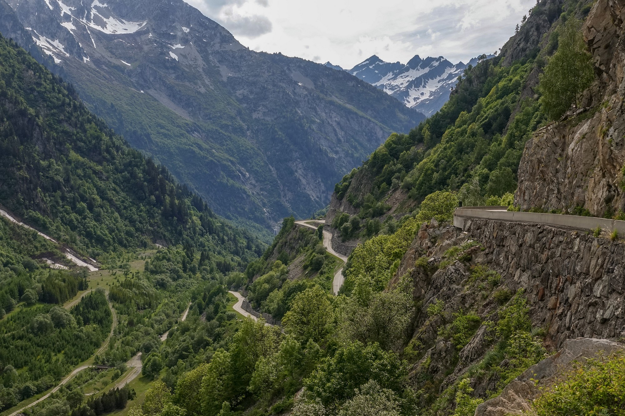
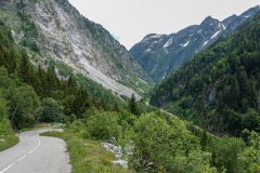
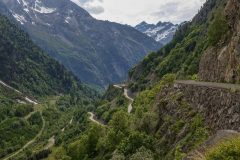
I’ll have to save some energy to climb that on the way back. I had been wondering why the road dipped like this – it’s highly unusual, with mountain roads usually following an even gradient as much as possible. Little did I know when I took the following photo that I was capturing the reason right in front of me – a huge landslide had obliterated the old road (see more about this below), and a diversion across the river had been built.
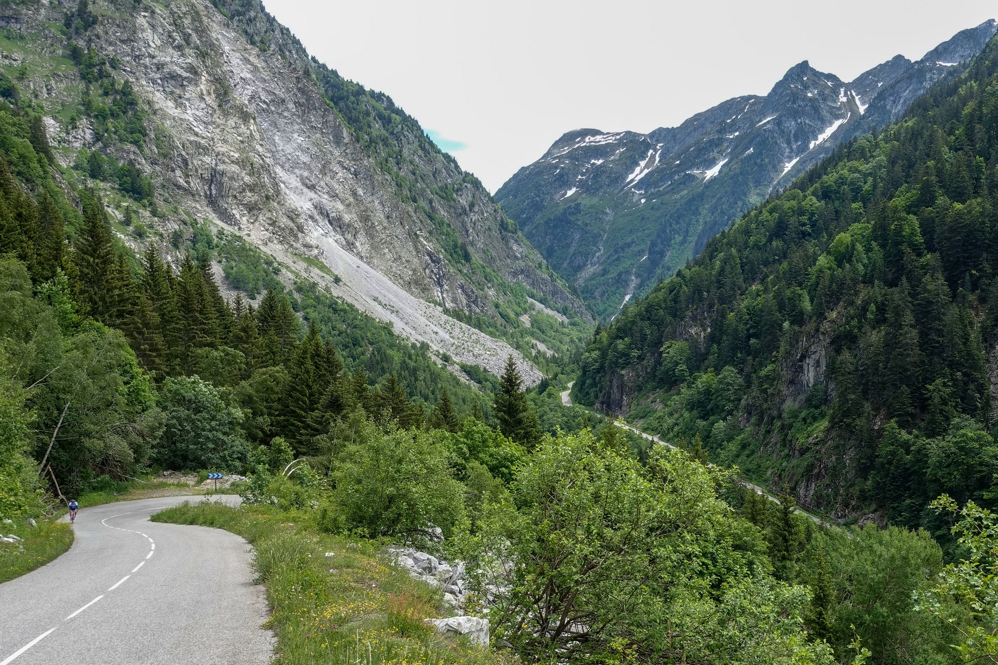
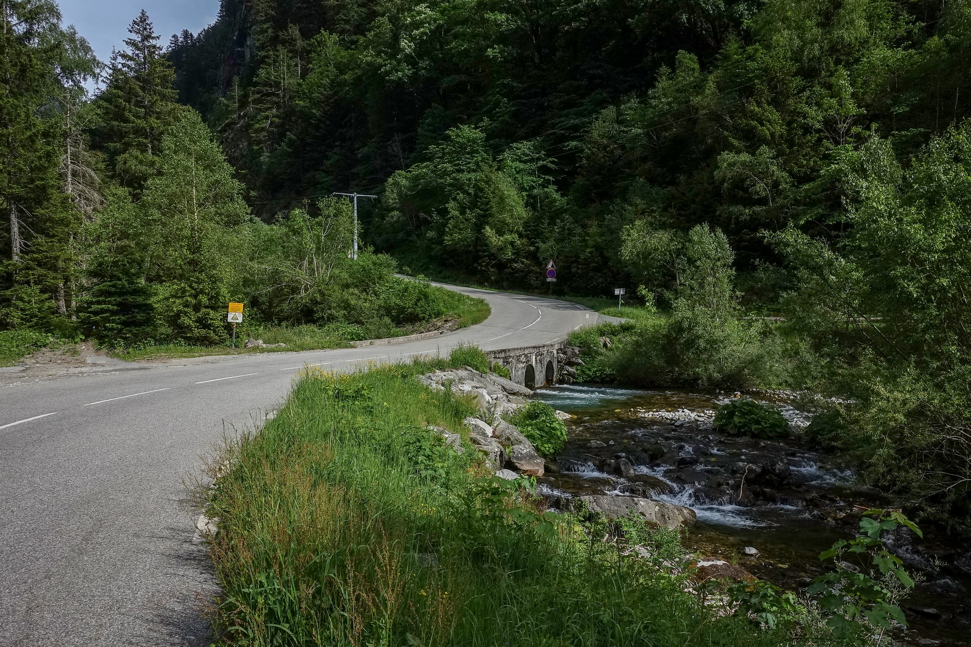
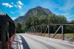
After dropping down to river level, the road crossed to the other side of the valley.
There was another steep section as the road followed the river on the other side before crossing back over and up via some switchbacks to rejoin the original road. A couple of miles later was another series of hairpins lifting the road up to the level of the lake.
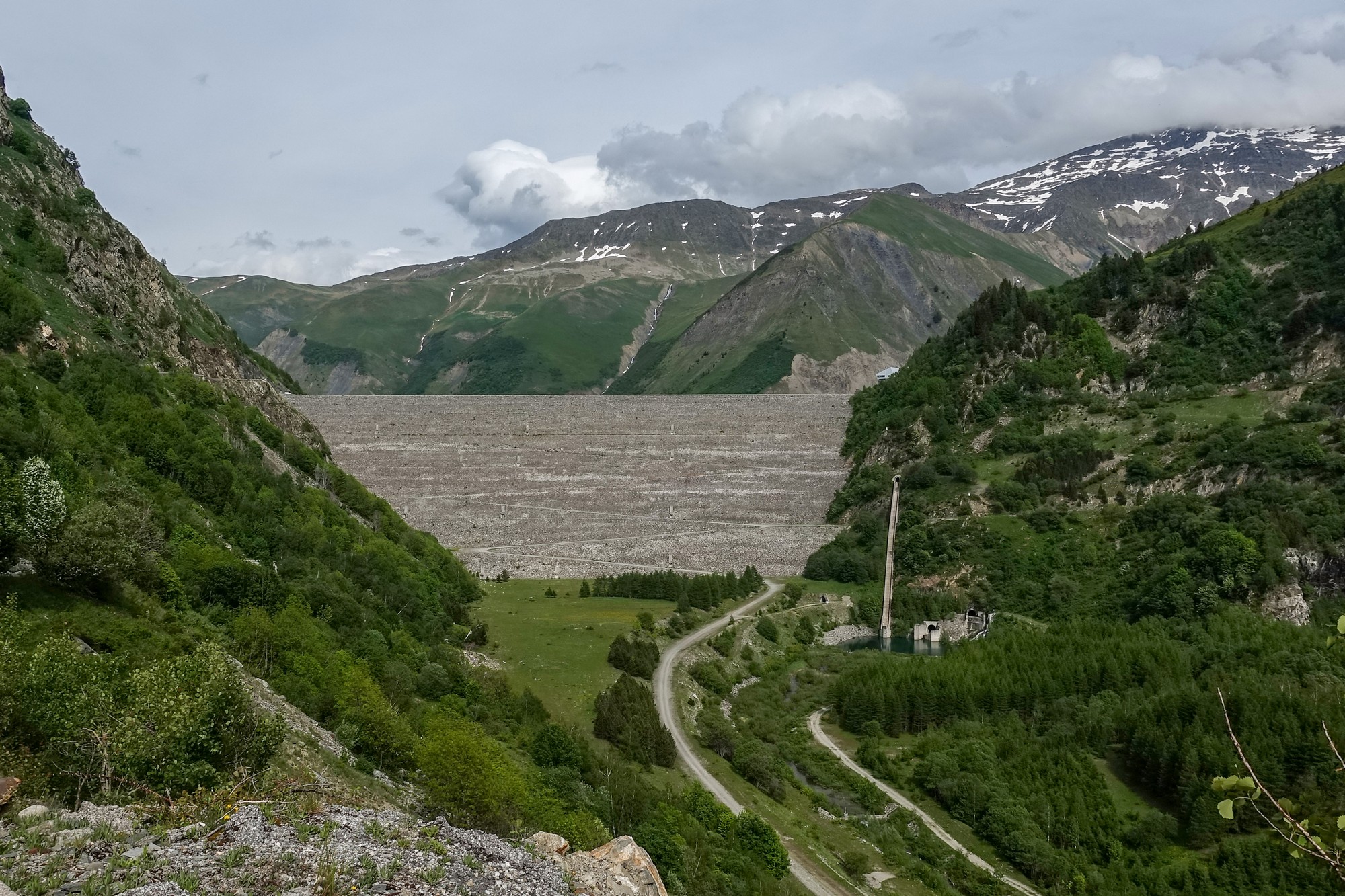
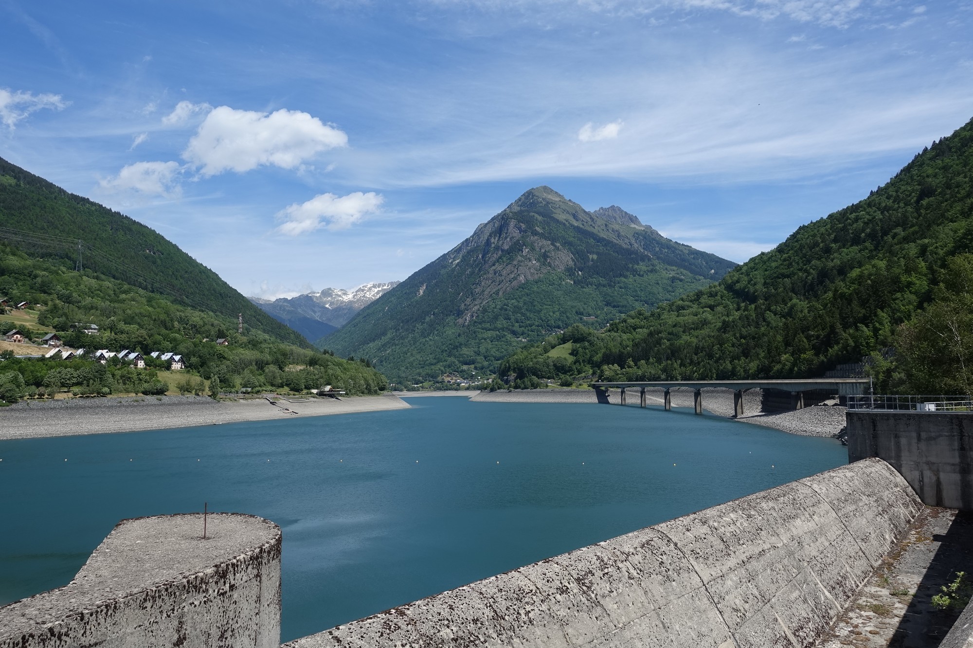
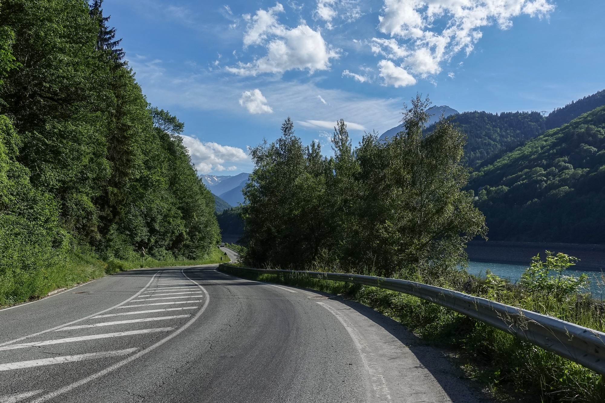
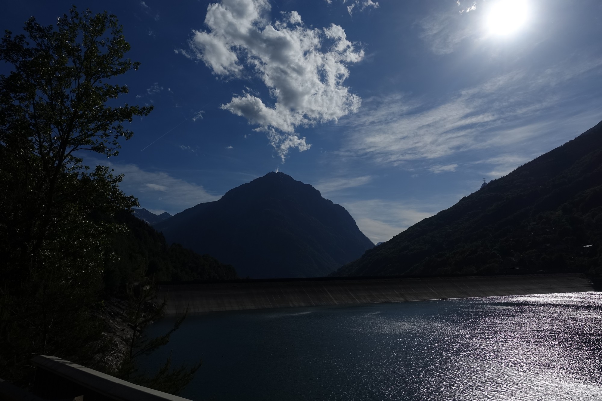
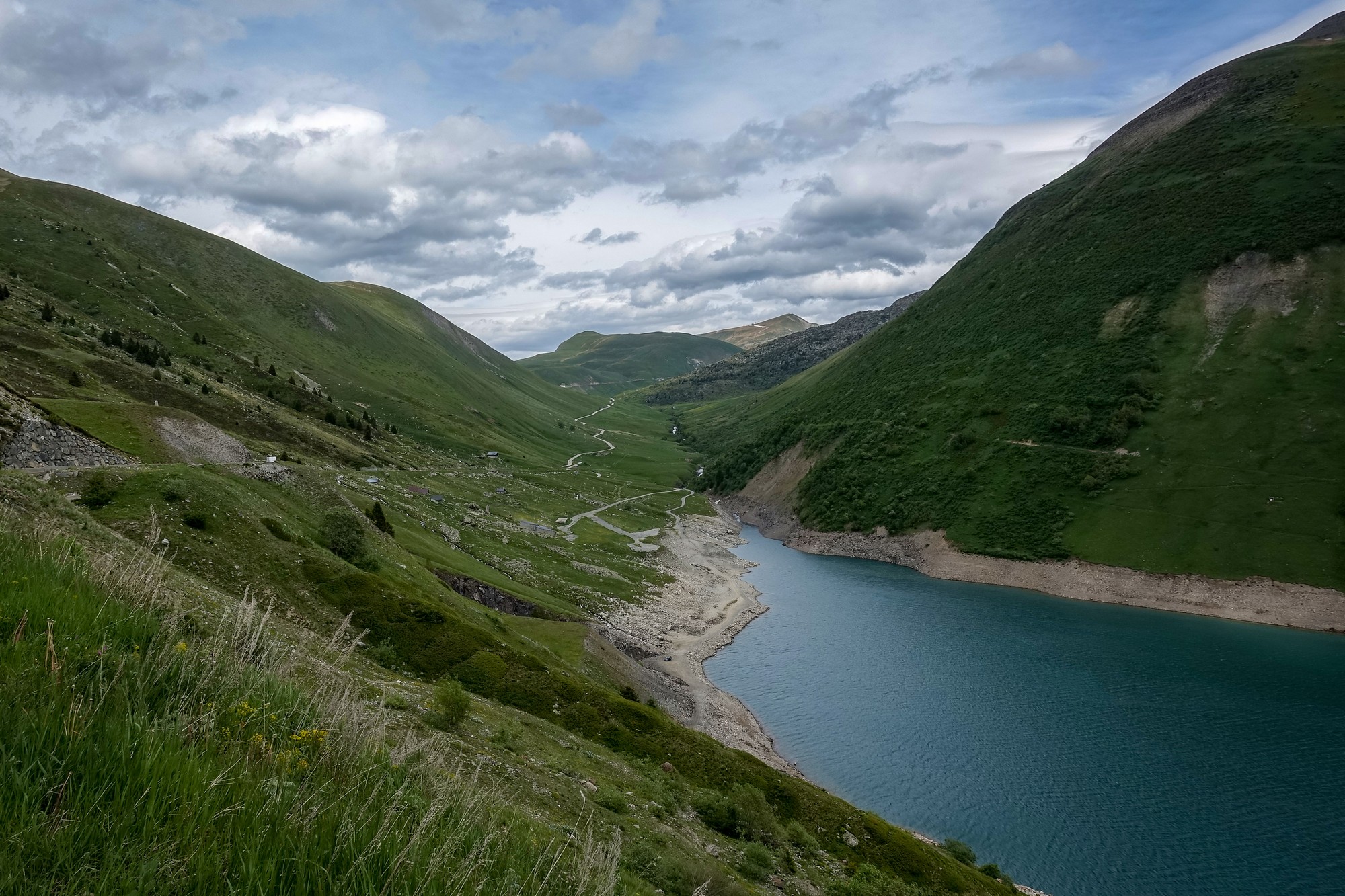
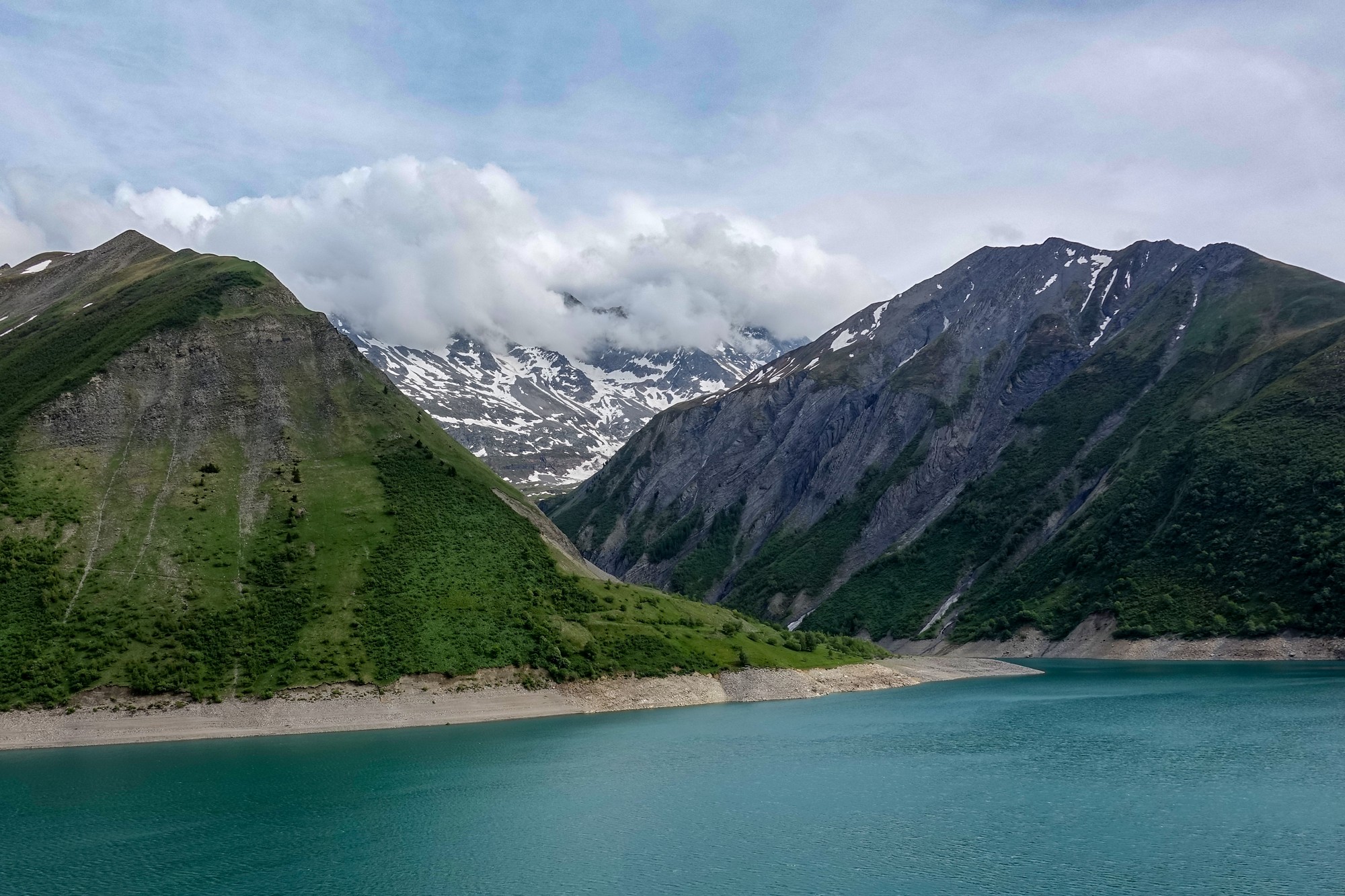
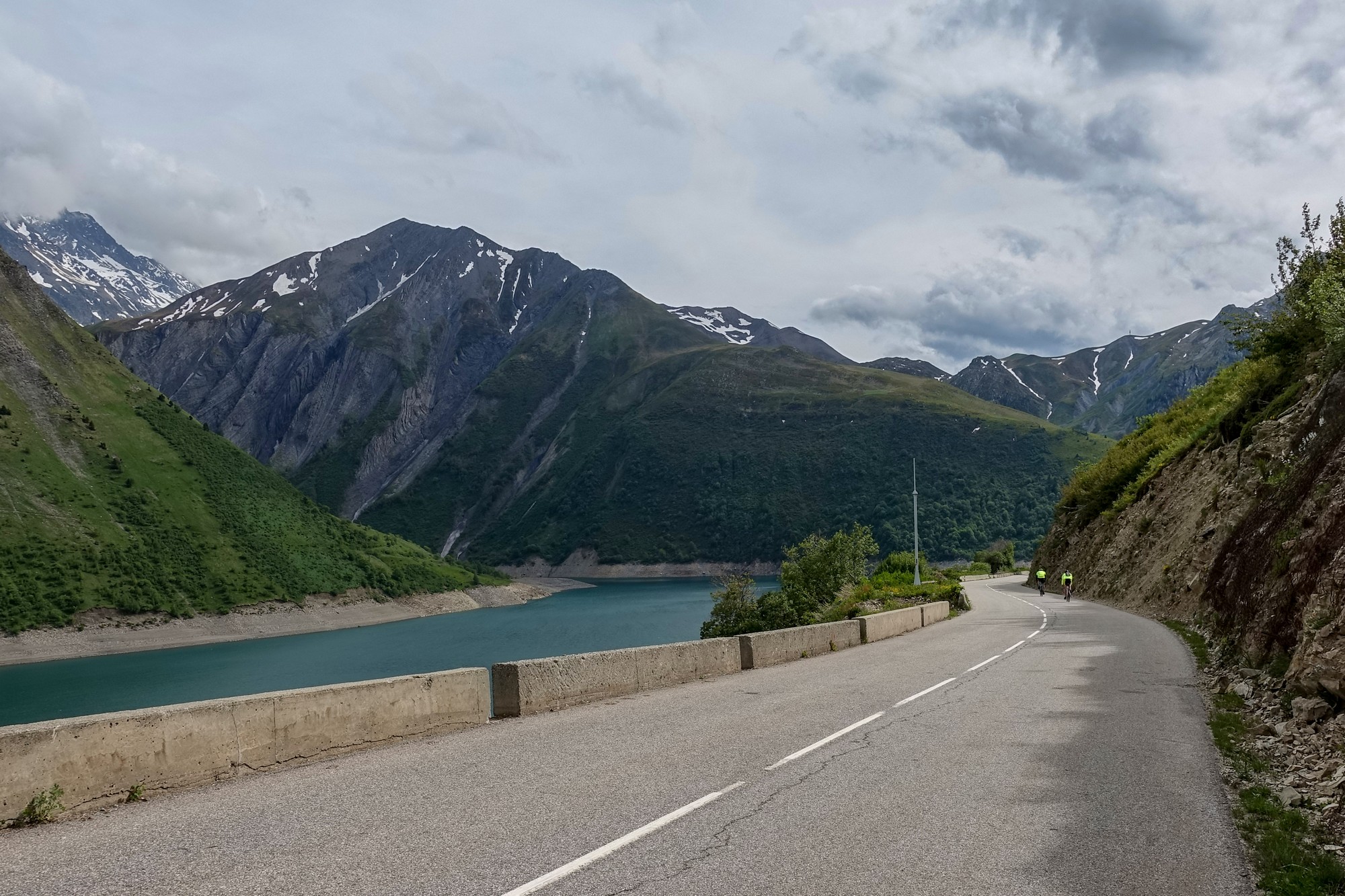
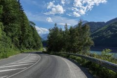
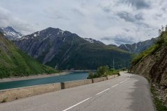
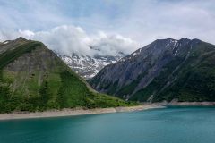
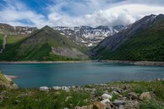
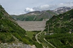
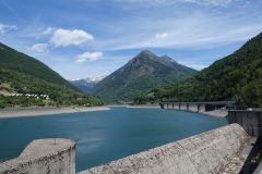
Eventually the road reached the level of the top of the dam wall, and the lake came into view
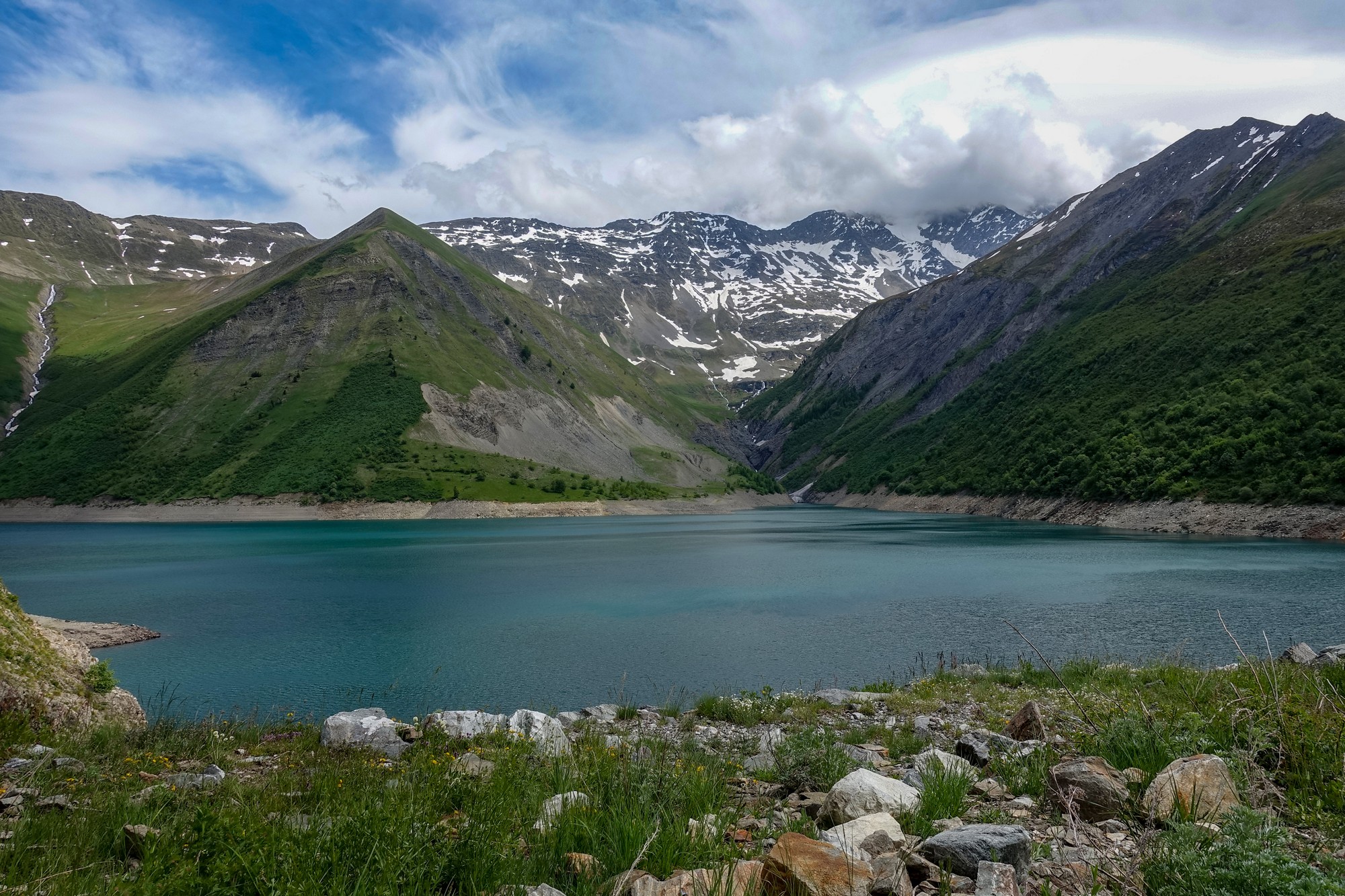
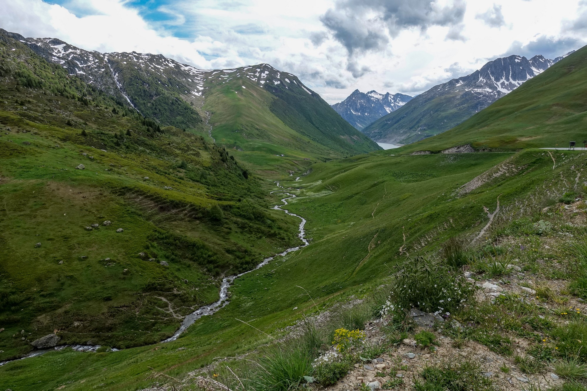
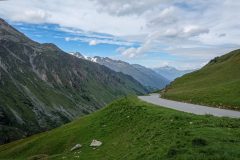
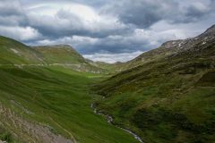
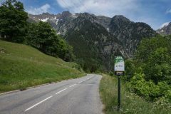
When the landscape opens out after the lake, the climb takes on a whole new personality. The road meanders up the grass-covered valley ahead. Although trees are quite nice, in general, I’m glad there are none here – they would ruin the whole look. Past the lake, the road once again descends slightly, then climbs for 3 miles at 7% to the col.
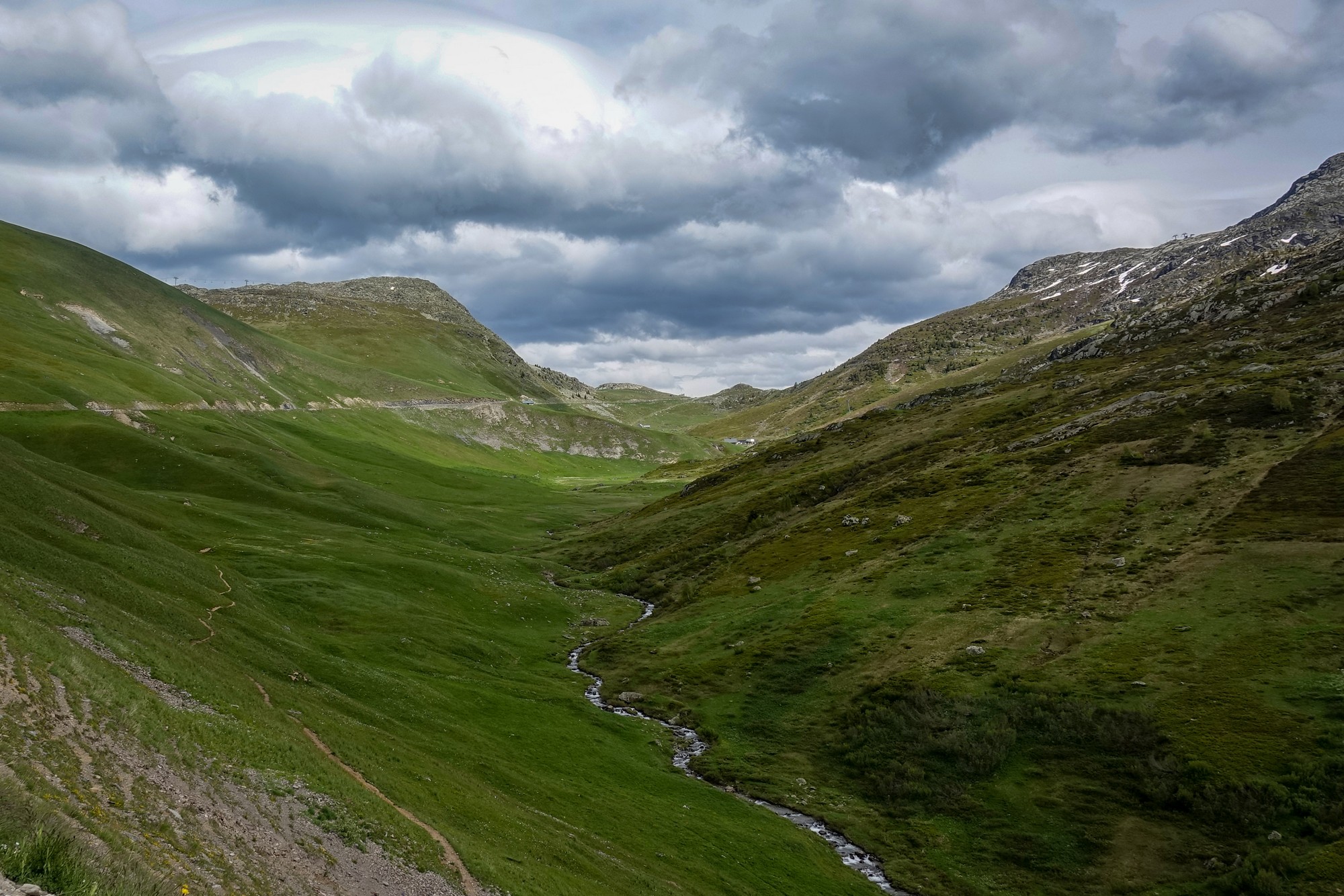
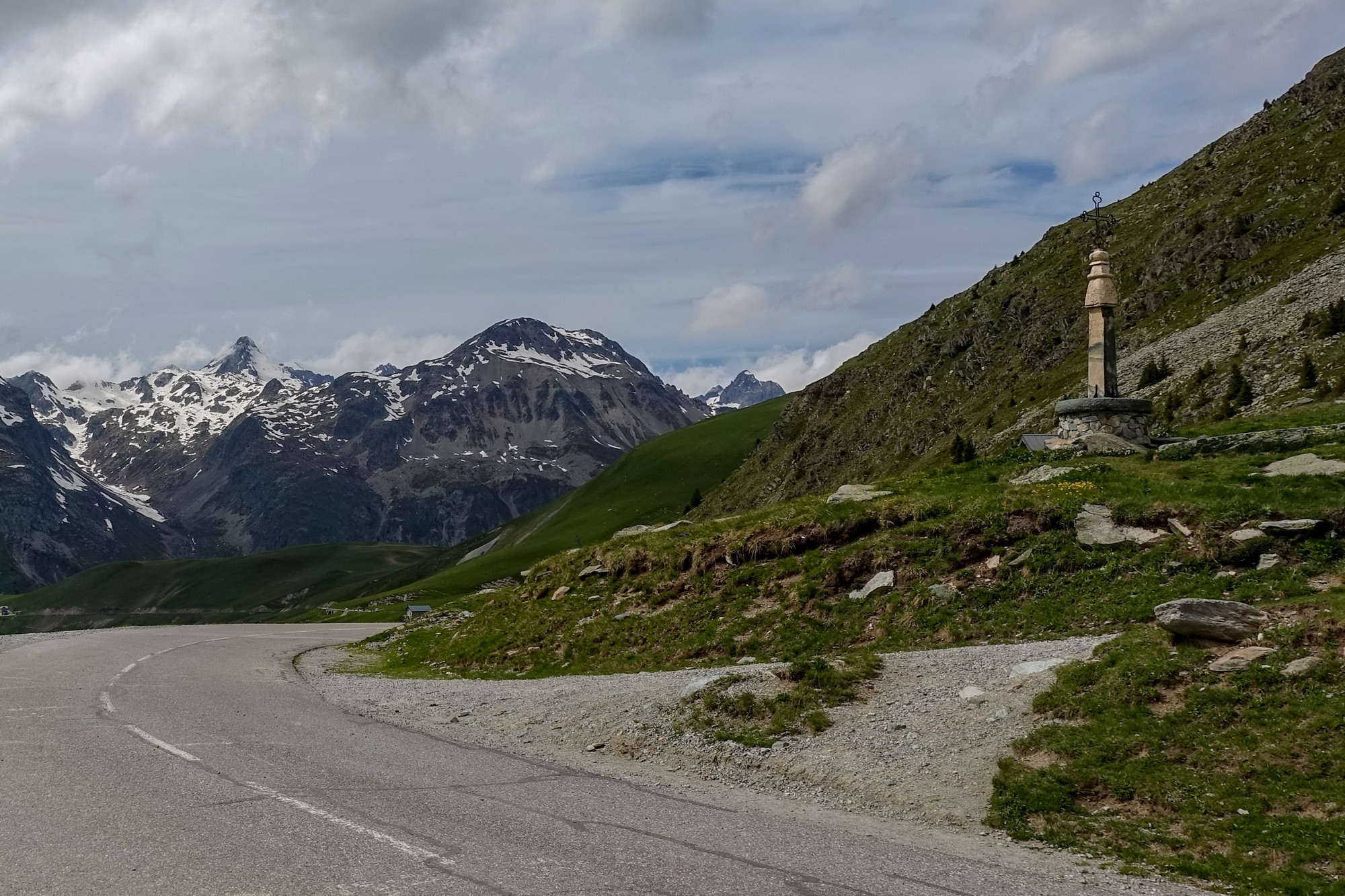
The air is quite cool, and I’ve never been in danger of overheating – it’s sometimes slightly too cold if anything. I put my arm warmers on a few miles back. Lots of cyclists are descending in short sleeves; they must be freezing. I can’t wait to get my rain jacket on, to take some of the chill away, and I’ve still got col du Glandon and those other climbs to do yet, on the way back.
Report from end of ride
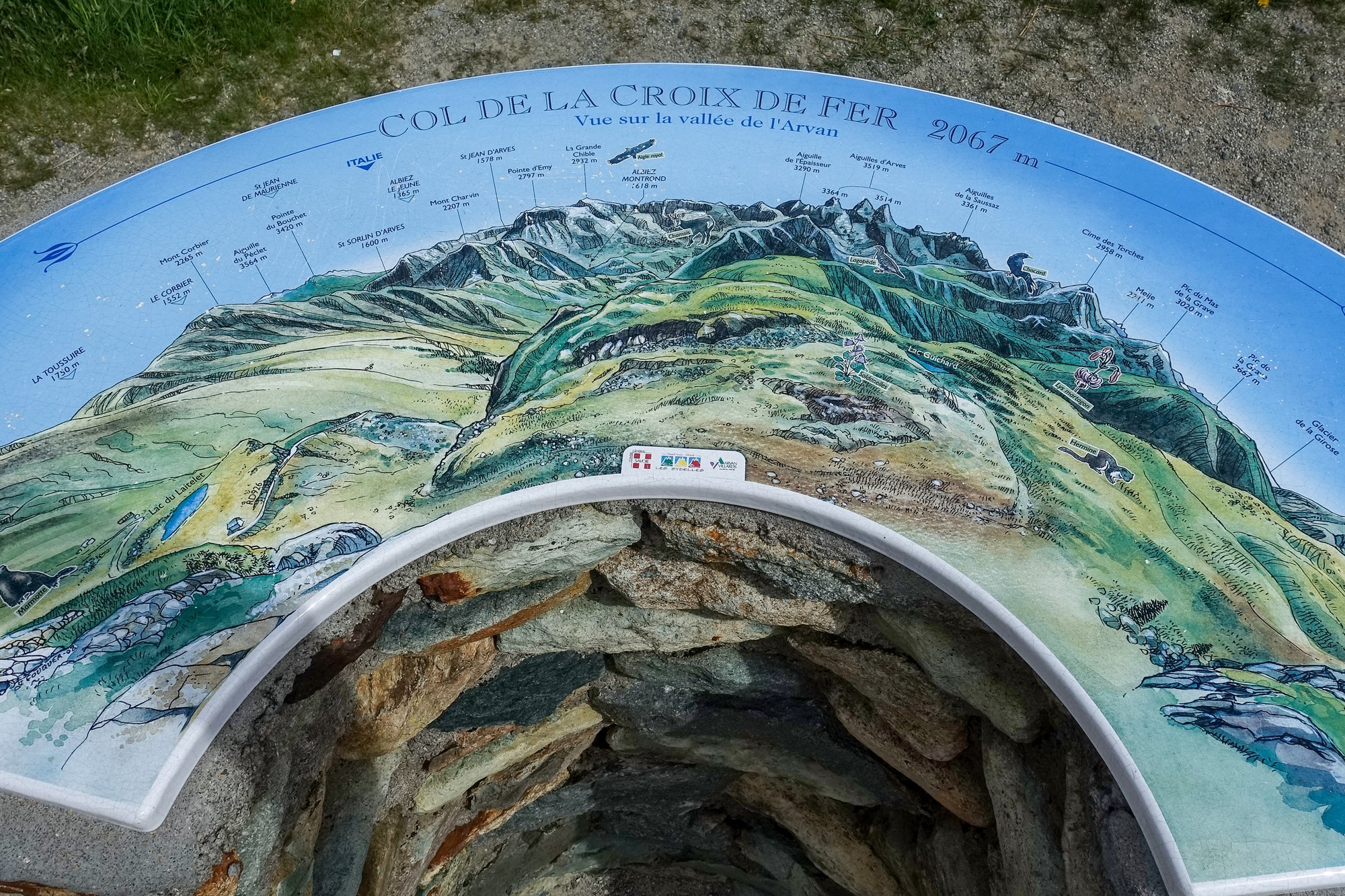
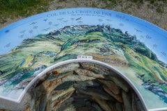
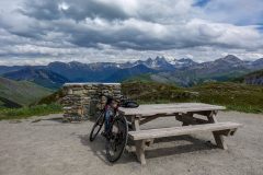
At the col de la Croix de Fer, I sat at a picnic bench and had my ham and dijon mustard sandwich, while taking in the view over the vallée des Arves (according to the Table d’Orientation).
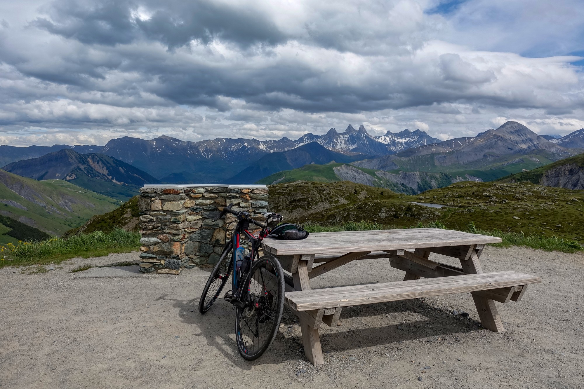
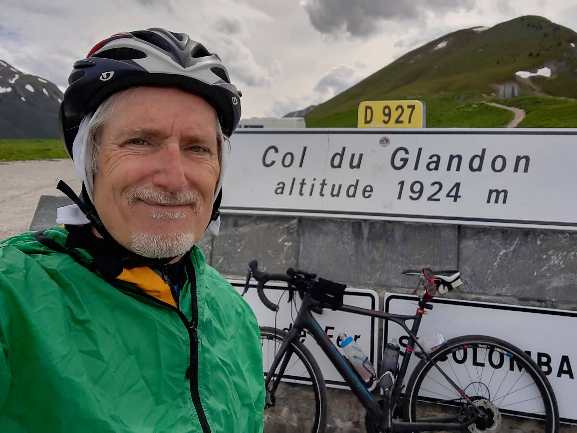
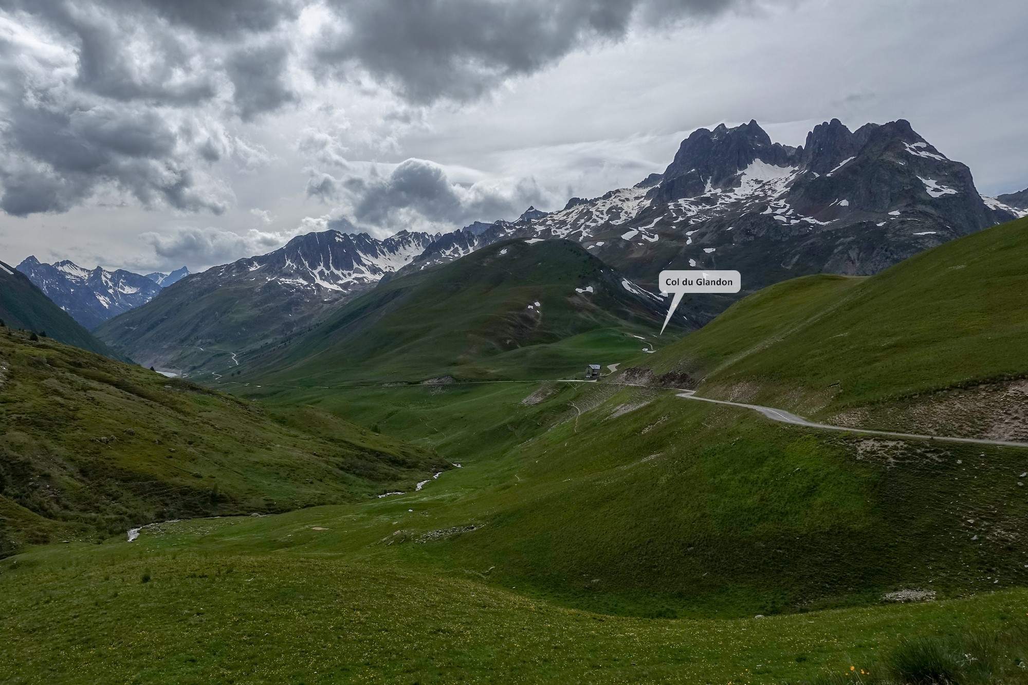
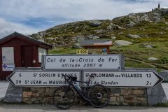
I put both my rain jackets on, to be on the safe side. I rode down to the Col du Glandon turnoff. The col was literally just a few hectometres up that road. I got a col shot, had a quick look down the other side and then returned to the road from Col de la Croix de Fer.
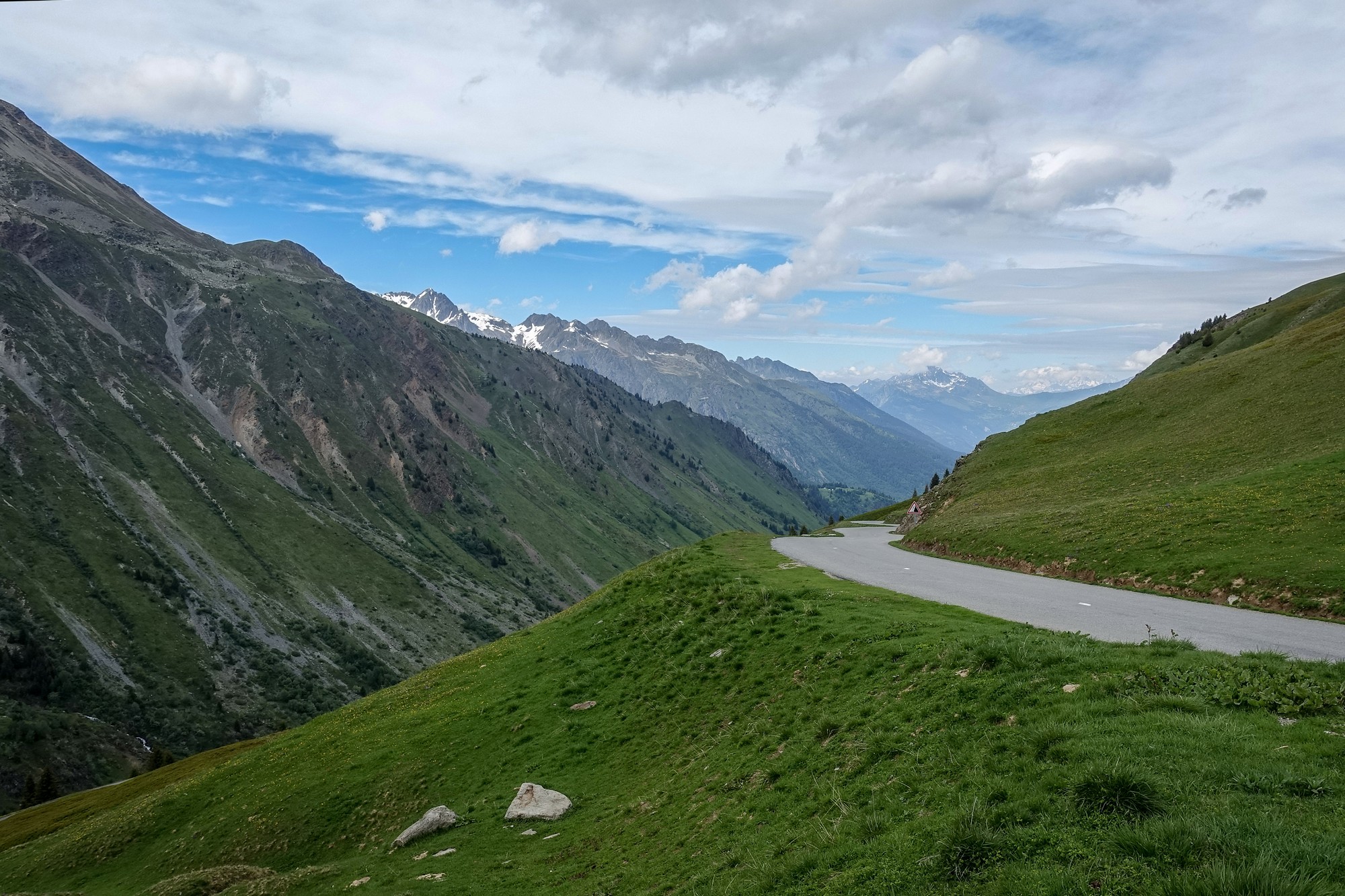
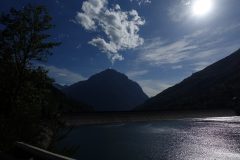
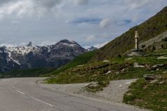
It was cold and windy, and that took some of the fun out of the descent. I kept stopping for photos anyway. Unfortunately, the sky had greyed-over almost completely, so the photos are not as vibrant as they could have been.
Soon I was at the first of the climbs on the descent – past the lake – that was no problem at only a few%.
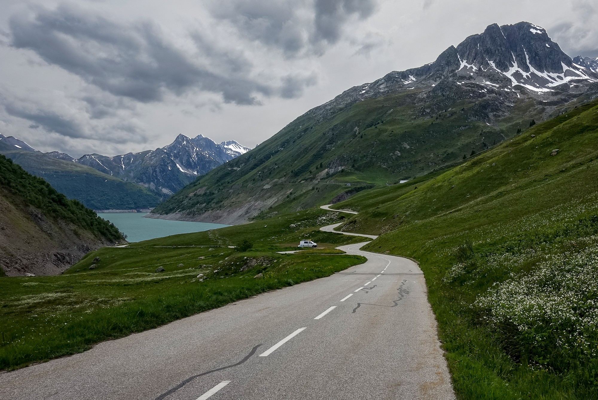
Once the lake and dam were behind me I became less exposed to the wind, so I could enjoy the descent more, and I felt warmer too. There was virtually no traffic. Just an occasional cyclist descending past me, and a couple of late climbers, in the other direction.
Then I reached the series of hairpins that plunged the road down into the valley, across the river and up the 12% climb through the switchbacks up to Le Rivier d’Allemont. It was pretty steep but I just plodded my way slowly up there. After that the road was more sheltered from any sudden wind gusts, and with warmer air I enjoyed a very fast descent. The road surface was very good at first, and then I was back on that brand new tarmac for miles, speeding round the easy bends, no other traffic about. The disc brakes are a joy on descents like this because you can get all the braking you need without riding on the drops.
The sun came out right at the end – too late for me to get sunny shots of that amazing road further up the valley, near the col.
Ride Notes
Brand new tarmac Again, I wondered if the new tarmac I’d seen is in honour of le Tour. And it is. Stage 12 will climb the other side of the col de la Croix de Fer and descend down the way I came, before finishing on Alpe d’Huez. See here for more details: Tour de France 2022 Stage 12: Briançon – Alpe d’Huez
l’Éboulement du pic Bunard (pic Bunard landslide, near Le Rivier d’Allemont). As mentioned above, the reason for the sudden descent midway through this climb is due to the road diverting around a massive landslide that had obliterated the old road. Typically I found out about this after the ride, otherwise I would have taken more specific photos and maybe cycled up the old road to see what could be seen.
The first I learned of the landslide was through reading the excellent The Great Road Climbs of The Northern Alps by Graeme Fife. Surprisingly, for such a well-researched book, he erronously gives the date of the landslide as 1952. That caused me problems when trying to find out more about it on the internet. Also, from aerial views I was surprised that the tree-line along the old road could still be seen 70 years later. I eventually discovered that the landslide had in fact happened on 23rd of April 1989. I came across an interesting conversation between two guys on YACF (see link below). One of them had done the climb the year before the landslide, using the old road, and one the year after, using the detour. So that pinned the year down; I then found the actual date of the event from various French websites. The third link below reports that 300-400 cubic metres of rock collapsed. Elsewhere I’ve seen a higher figure, which would seem more likely.
Further info:
I made a video (see below) of the whole ride using Google Earth. Unfortunately Google has some missing or corrupt imagery of the area near the landslide – bloody typical!
IGN maps has better aerial imagery as seen here:
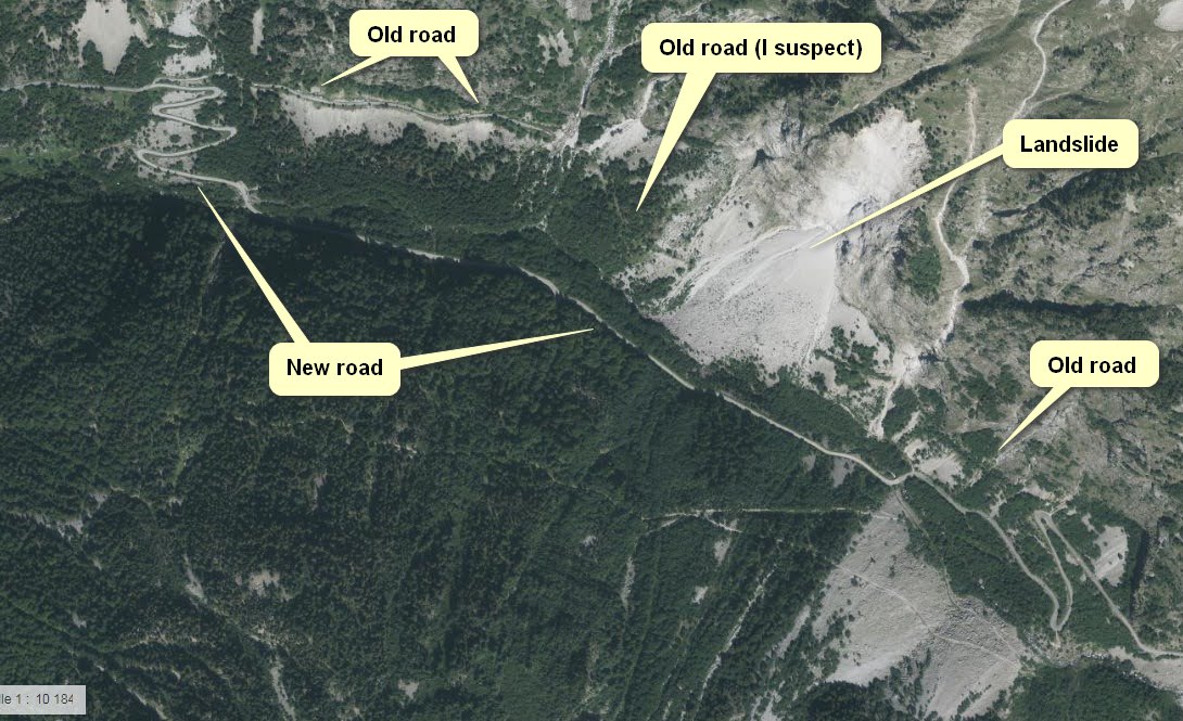
So the diversion has made the col de la Croix de Fer climb tougher than it used to be, but maybe less interesting on that section, judging by photos of the old road before the landslide. I’m hoping to do this ride again one day and take a look up the old road as far as is possible.
Fuel
Gallery
Click to enlarge / see slideshow












Great ride Vince. Look forward to reading latest news.
Cheers Al. More coming soon…