Distance: 22.1 miles. Elevation: 1725 ft.
Another quick blog post for another shortish late-in-the-day ride, up to Col de la Faucille and back – very straightforward.
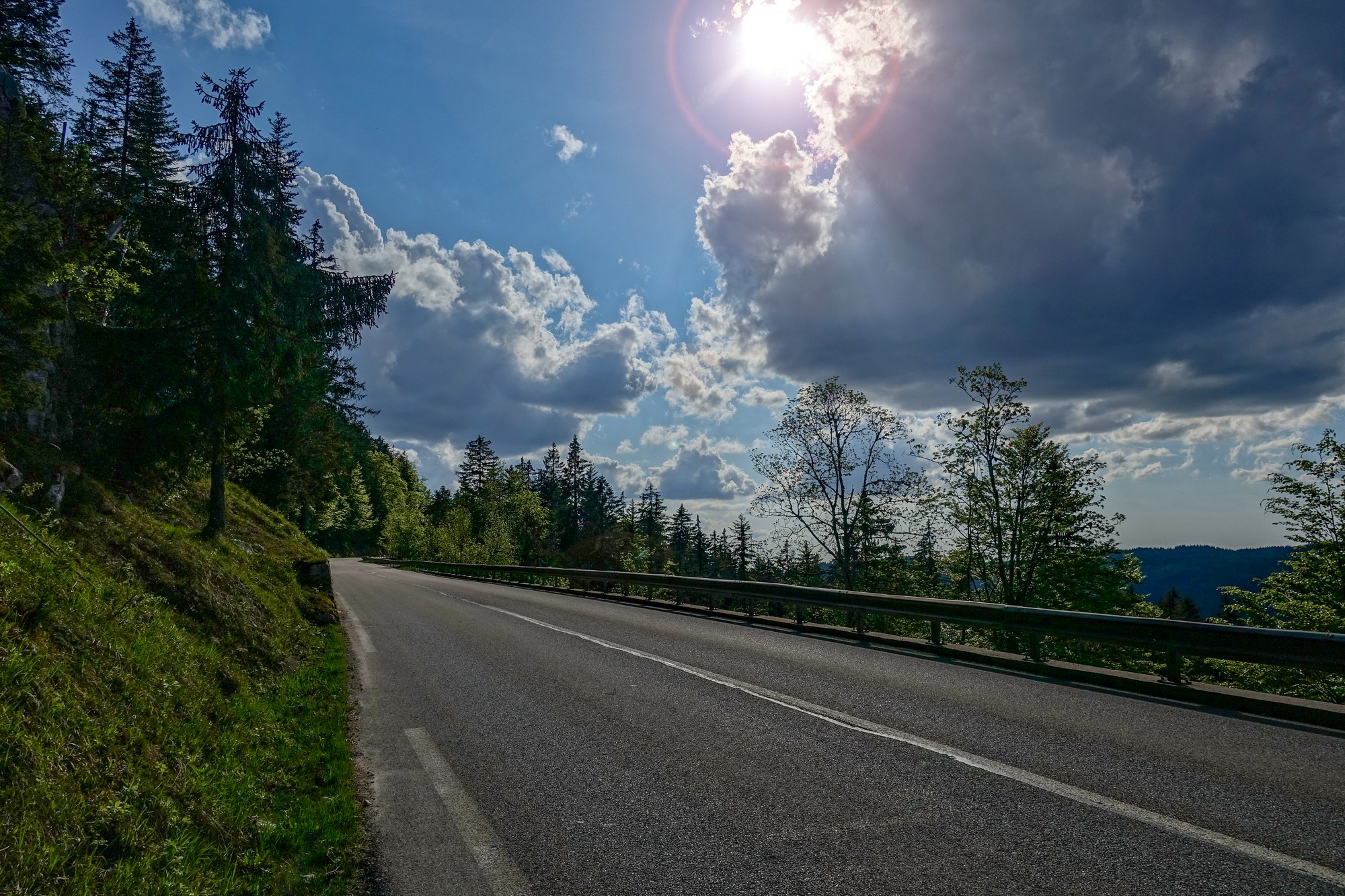
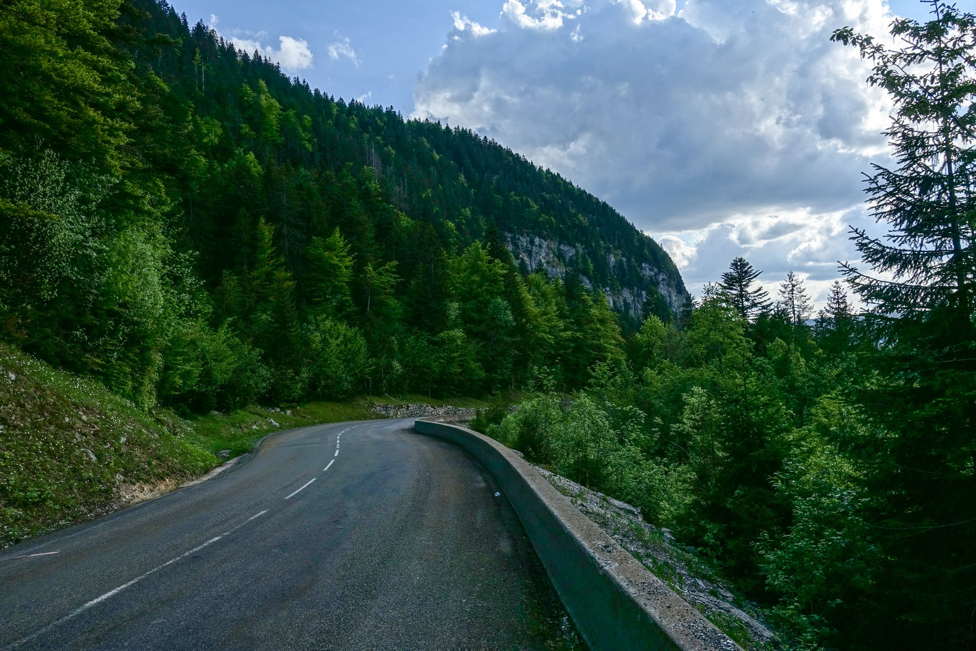
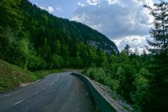
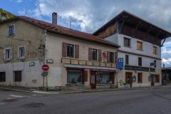
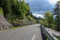
The first part was a gradual 5.5 mile climb to Mijoux, which I did at a good pace. Then the road entered the forest as it made its way up the hillside. I knew the route joined a main road somewhere but couldn’t remember where, so I stopped after about 3.5 miles of climbing to check my phone but I had no signal. I had an energy gel and kept on riding. Exactly half a mile later the gradient pegged back significantly when I came to the main road, which was quiet, traffic-wise. So that was another wasted energy gel!
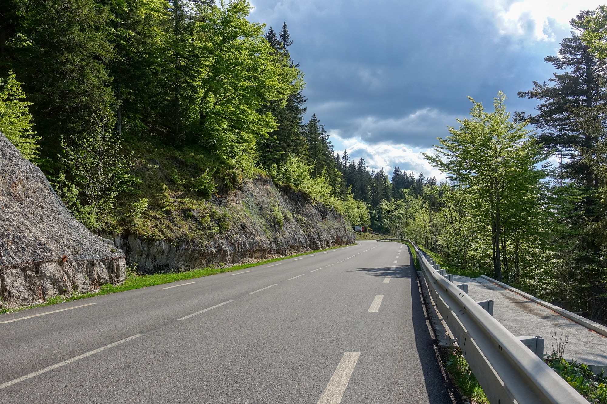
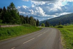
From there it was just another mile and a half of practically flat road to the col.
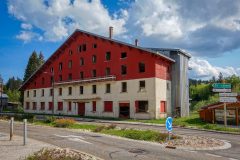
The first thing that came into view as I turned the corner at the col was an abandoned hotel.
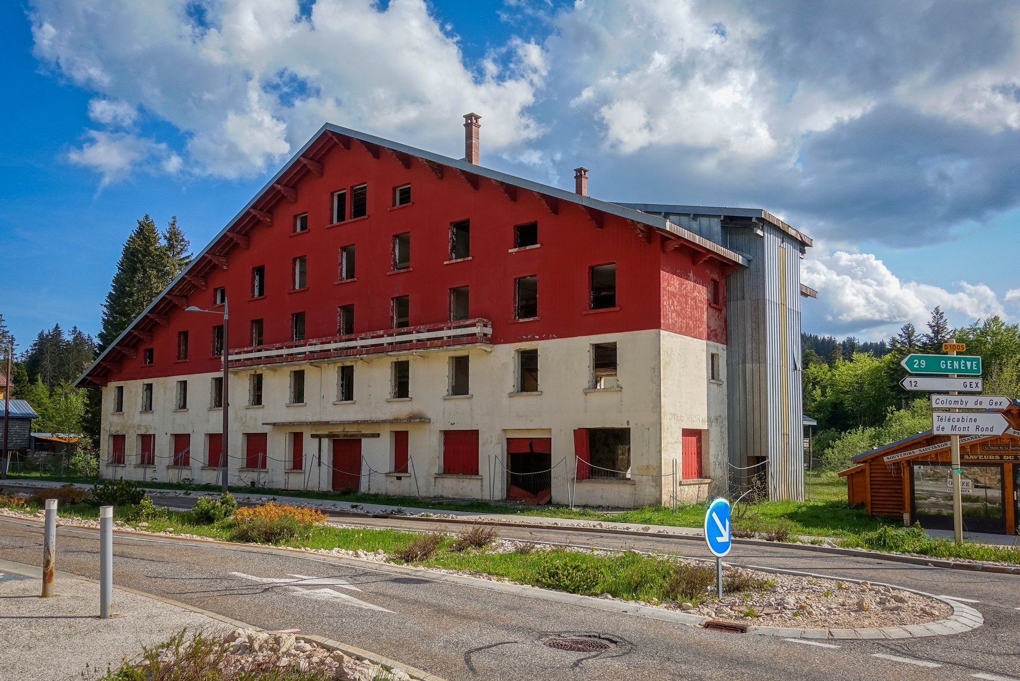
Apparently there’s some sort of dispute over the redevelopment of the site.
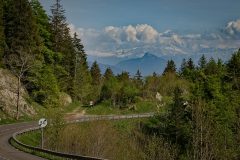
Thinking that there wasn’t much to see here, I rode past the hotel and then saw the amazing view of Mont Blanc ahead of me. I’d read about it, but had forgotten about it, so it was a nice surprise. Unfortunately it was cloudy and the camera couldn’t capture the view I saw because the snow and clouds seem to mingle.
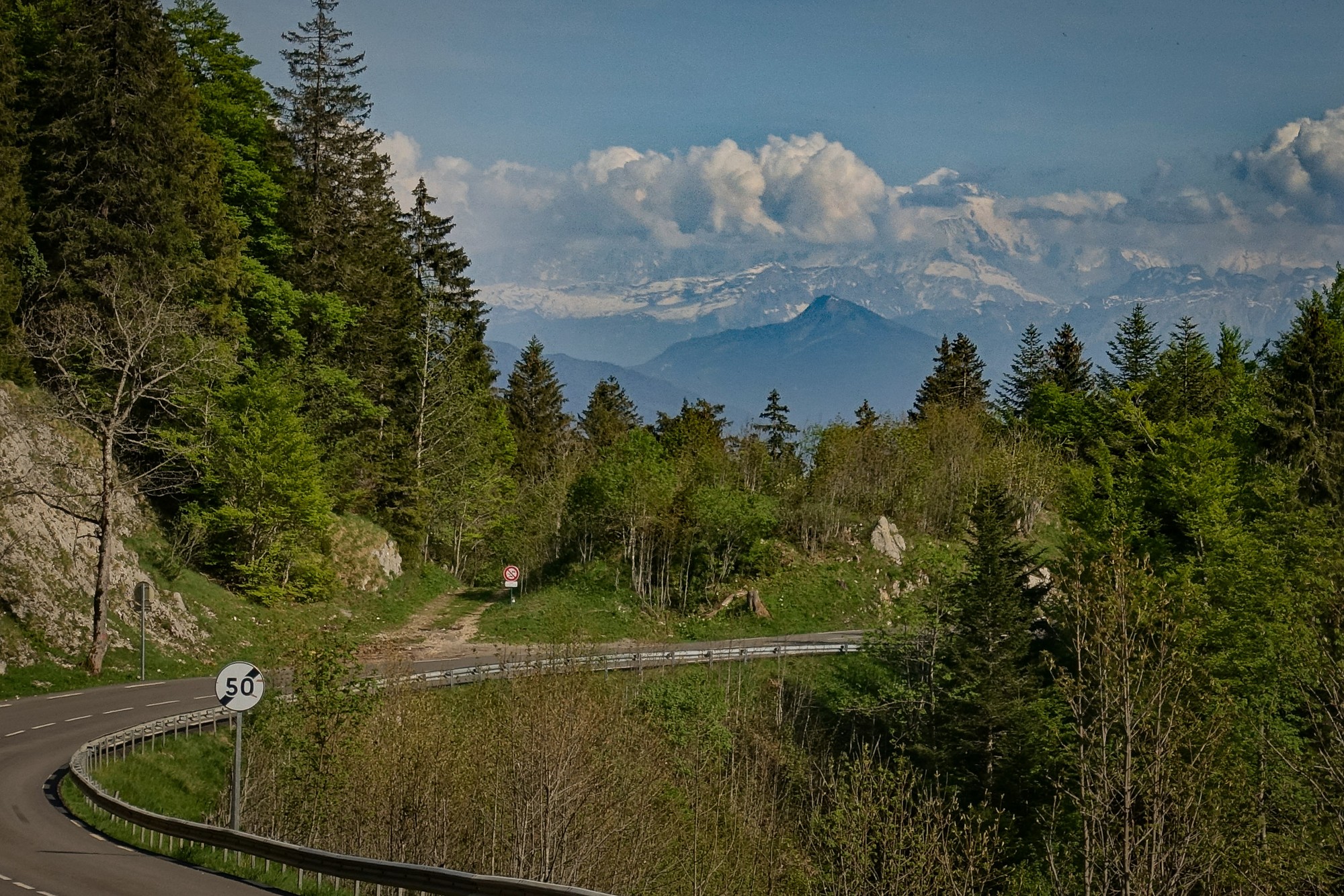
Sounds odd, but that may have been the first time I have seen Mont Blanc (except from an aeroplane) in my travels.
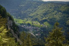
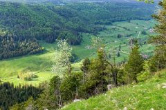
I explored around the back of the hotel where there is a ski complex. There were good views of the valley I had come up.
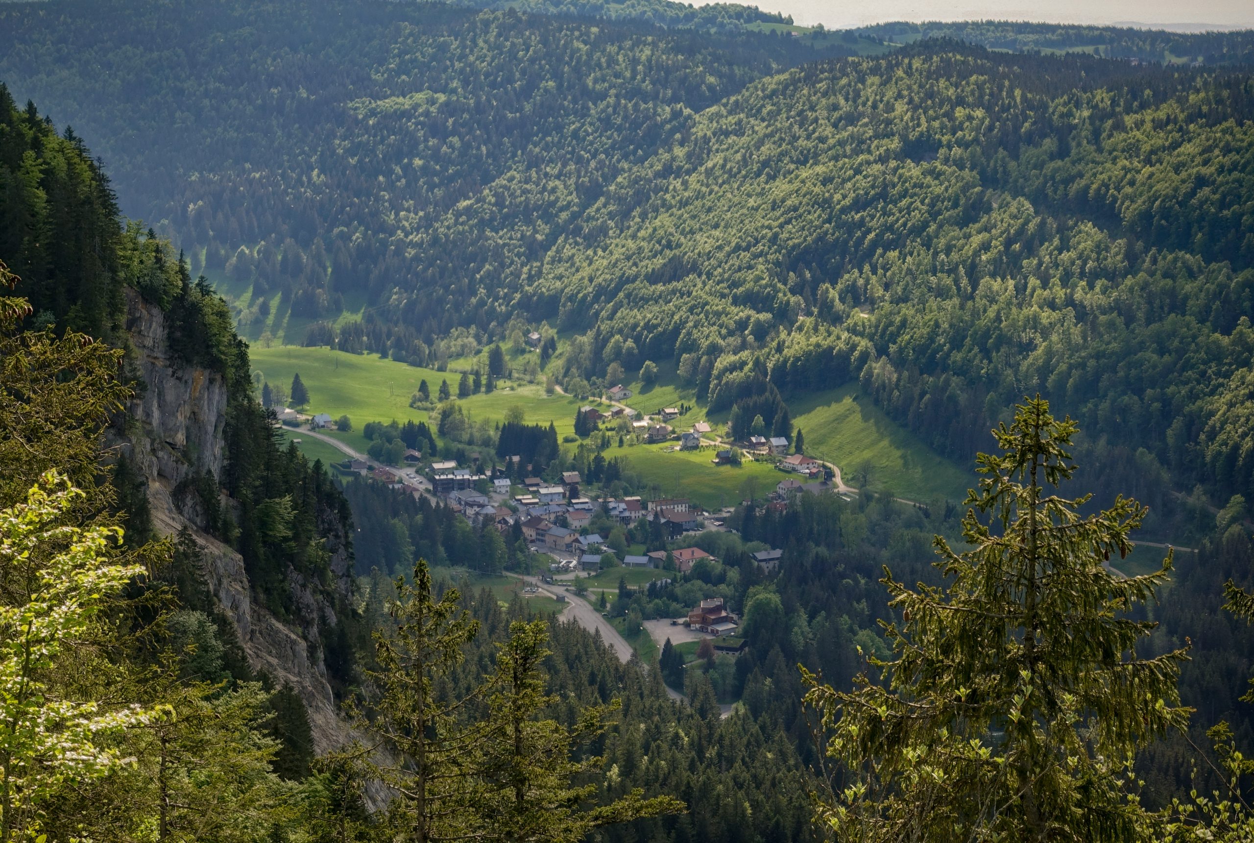
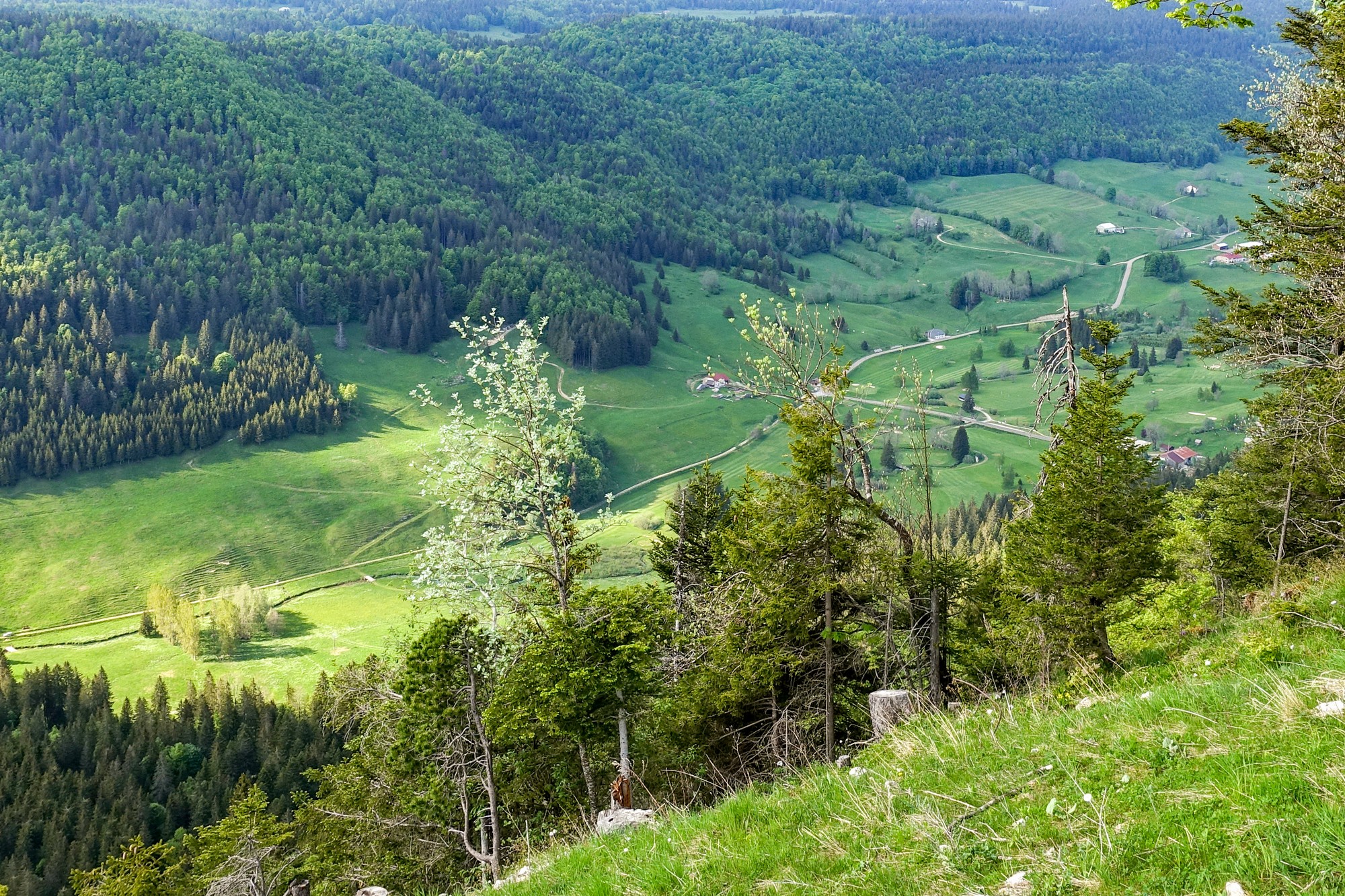
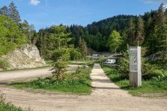
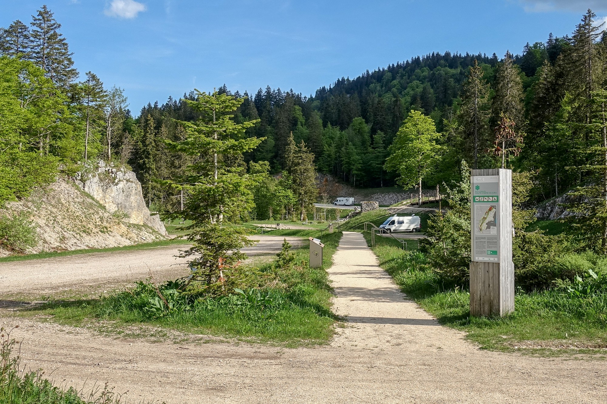
There was also an area for camper parking by the looks. Worth noting.
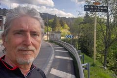
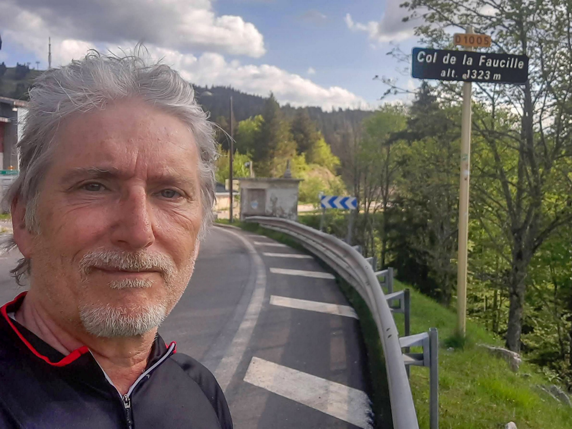
After grabbing a col photo…
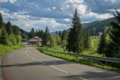
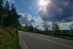
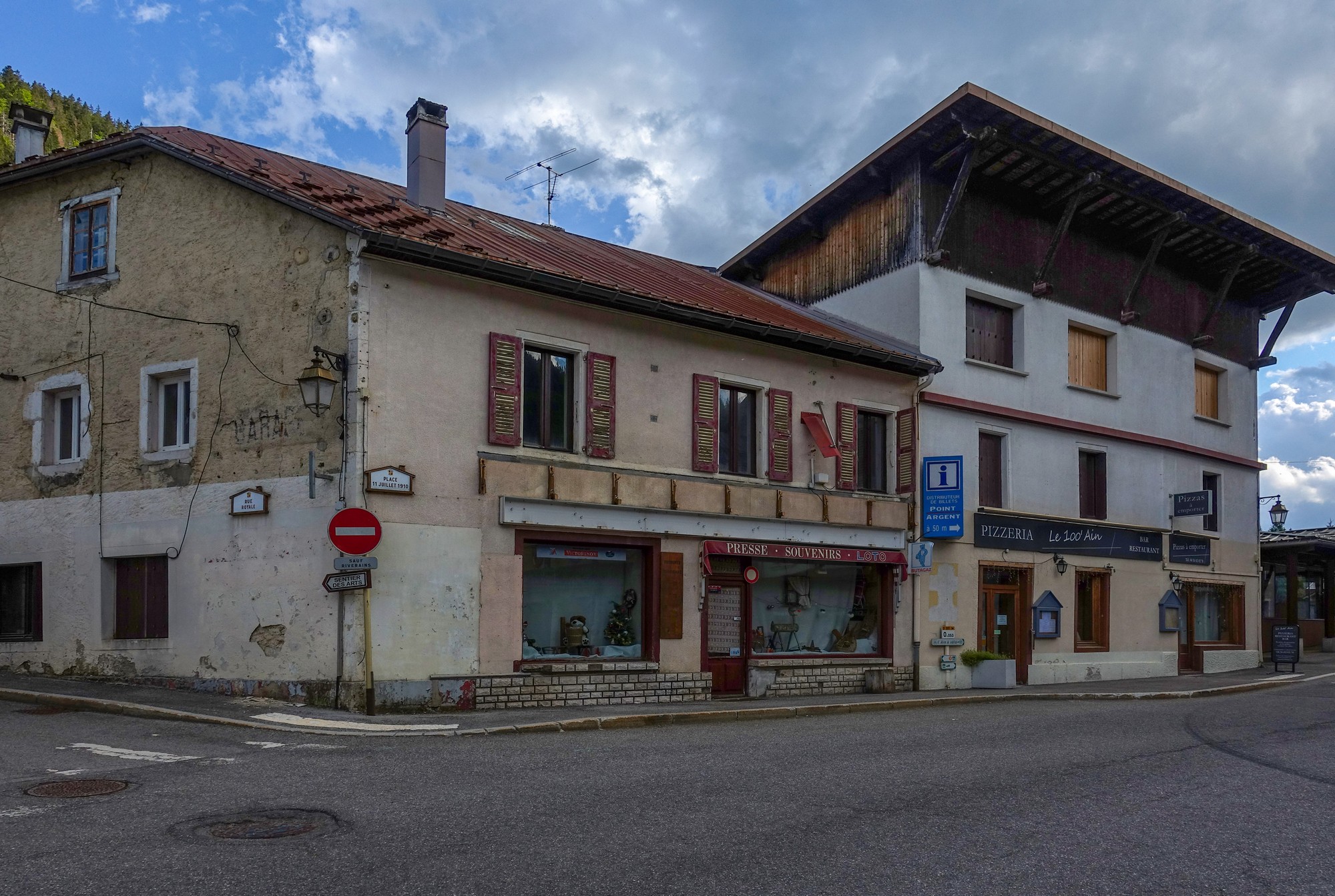
… I donned my arm warmers, and enjoyed a lovely 10-mile descent back to the van. I got a few more photos on the way back. Needless to say, there was barely any traffic.
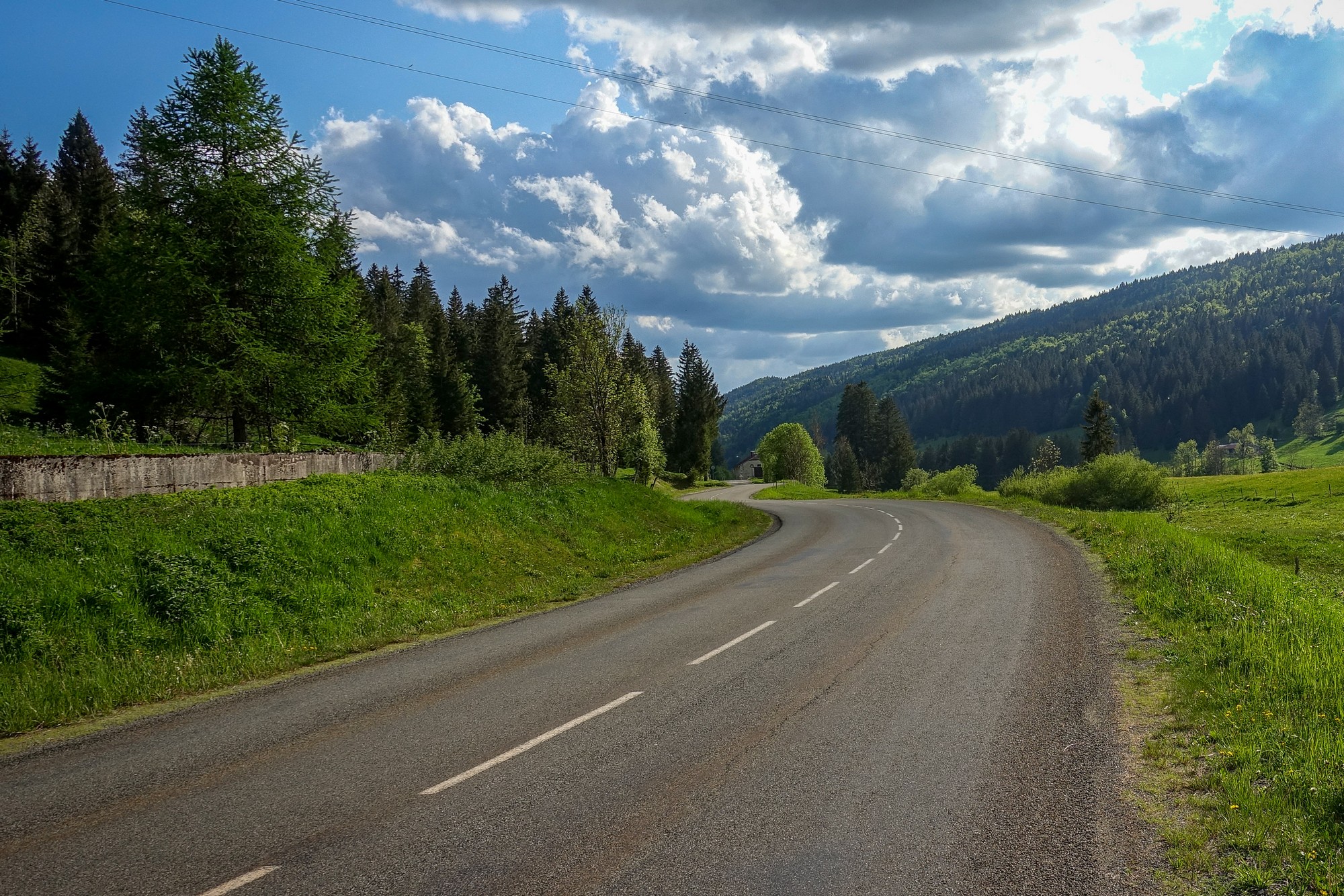
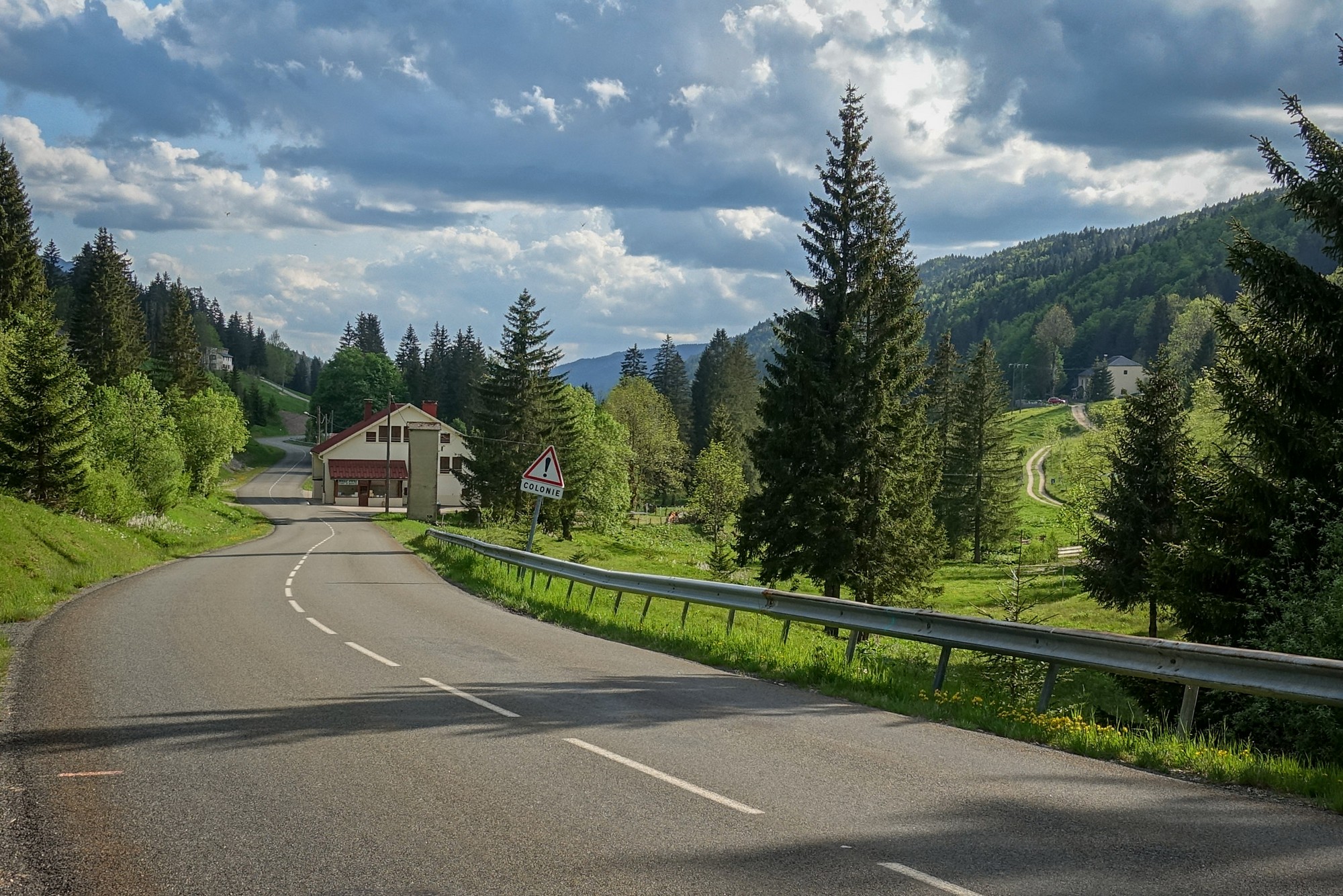
It had been a lovely quick ride on a sunny afternoon in the Jura
More info …
Gallery
Click to enlarge / see slideshow


