Distance: 67.8 miles. Elevation: 6263 ft.
Col de la Faucille
I planned to climb the Col de la Faucille from Gex. But getting to Gex meant going a long way around the huge, impenetrable (by road) ridge of mountains that separates me from there; la Haute Chaîne du Jura. Hence this long loop.
12:30 First report from 15 miles
I left at 11:00. The air was cool at 11°C, so I stopped after about 5 minutes to put my rain jacket on. That’s when I realised I had forgotten my rear light. So I turned round and went all the way back to get it, knowing that this long ride could end near dusk.
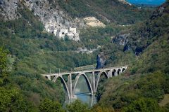
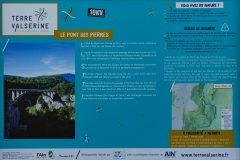
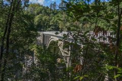
I’ve stopped here at the 15-mile point at this amazing bridge, le Pont des Pierres. Even though I’ve done 15 miles, I haven’t put any effort in at all. So far it’s been almost all downhill with just a couple of small ramps. It’s good to be getting the miles ticked off without having to do much work, knowing that the big climb will come later.
I took my rain jacket off when I was in the sun and the temperature on the Wahoo was reading 22°C, so it’s now very pleasant. The forecast was for cloudy all day, so I haven’t got sunblock or my neck protector but I do have my cycling cap so will put that on backwards so that the peak covers my neck. I’ll do that when I’m heading north. I’m still heading south at the moment so will leave the peak at the front while heading into the sun.
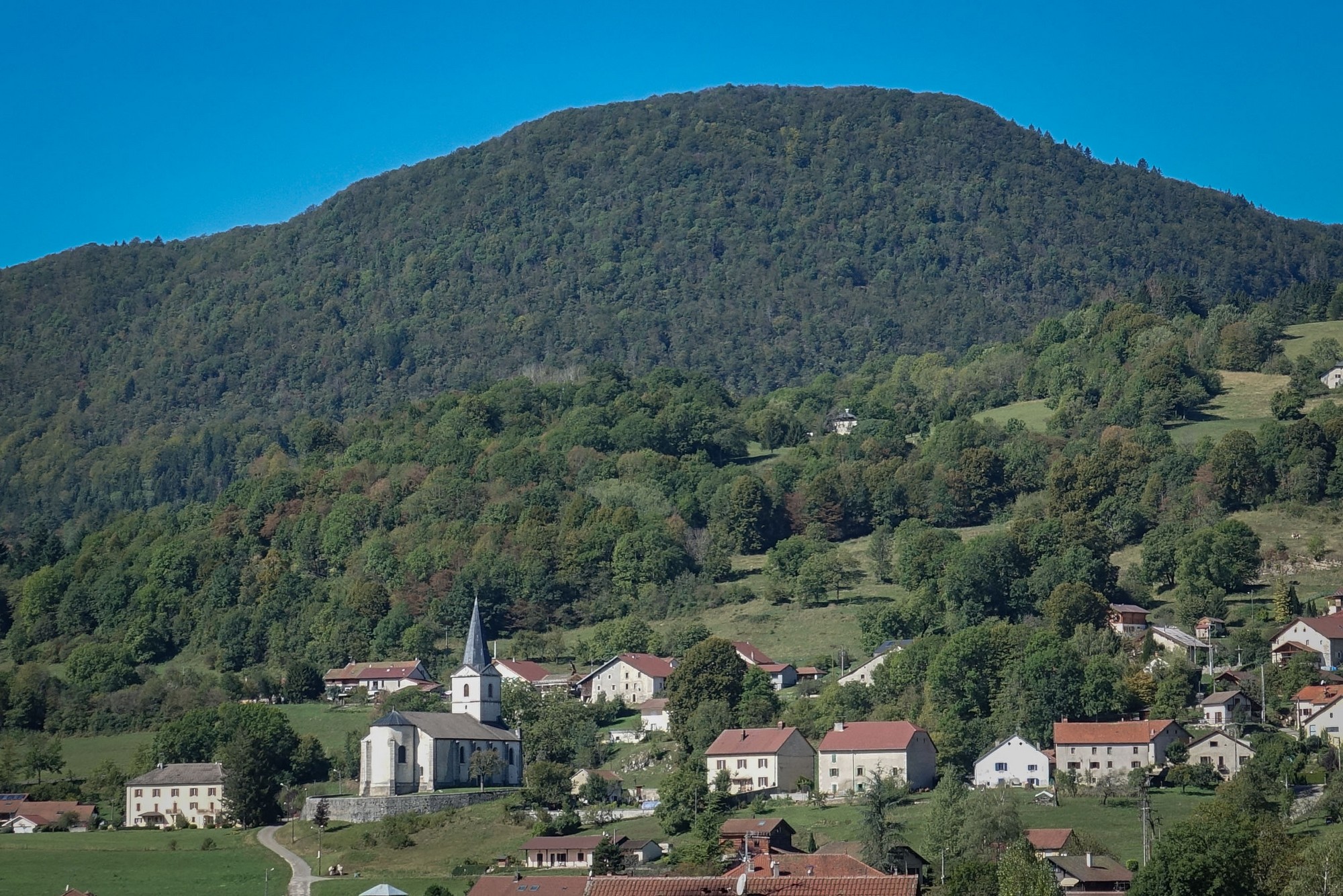
There’s almost no traffic, as usual. Even though I can see that this bridge is spectacular, spanning a deep gorge carved by the river Valserine, I’m unable to get a good photo of it.
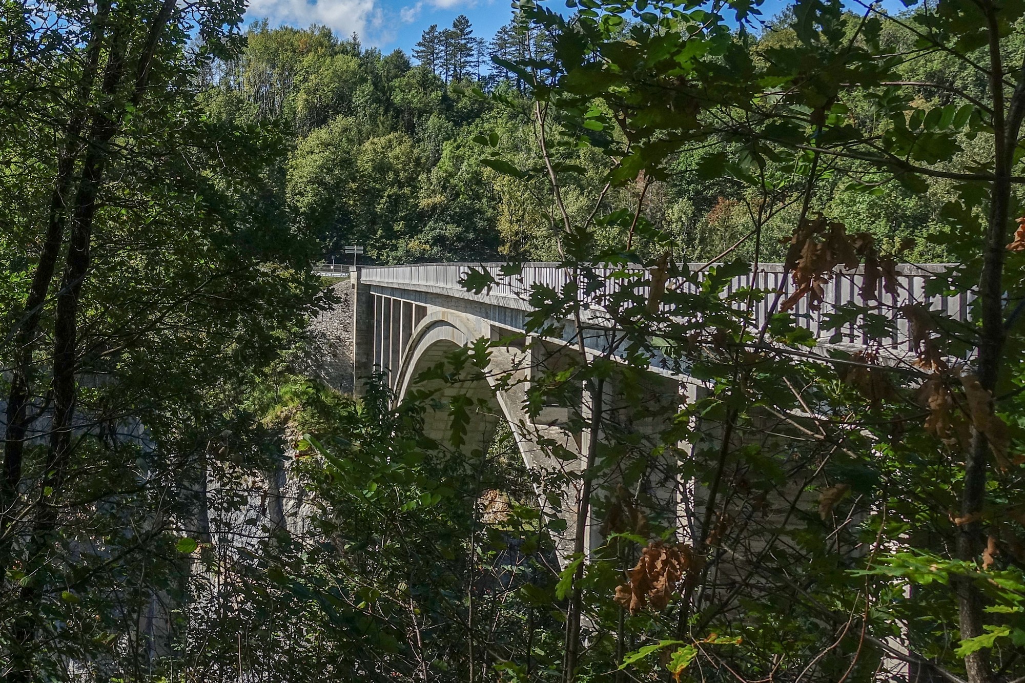
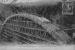
I expect that you could walk into the woods nearby to get a better view further along, but I have the wrong shoes on for that. This bridge forms a part of la Voie du Tram, other sections of which I have come across on previous rides I’ve done round here. There was a tram service operating from 1912 to 1937 between Bellegarde and Chézery. The bridge was blown-up in 1944 by the Armée secrète to cut off the German retreat. It was rebuilt to its former glory in 1954, but now in prestressed concrete. More info below.
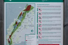
[Addendum: I’ve just seen that on one of the information boards by the bridge were details of how to get to a viewing point, 15 mins on foot. The path is on the other side of the bridge. I think I would have tried that if I’d know at the time. I really must start reading these info boards when I’m in front of them and not wait until I get back from the ride!]
[Note to self to clean my handlebars and fit my handlebar-end mounted mirror because on noisy descents it’s difficult to tell if there’s anything behind you and you don’t necessarily want to look round when you’re doing 30 miles per hour.]
15:00 (37 miles)
I’m sitting on a bench under a conker tree in the seemingly well-to-do town of Thoiry. I’ve just had my HDM sandwich and a cake.
Since that last report the road climbed briefly away from the bridge but, despite repeatedly looking over my shoulder, unfortunately there were no further views of it.
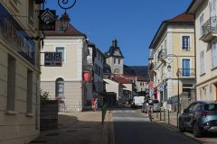
I descended to the busy town of Valserhône.
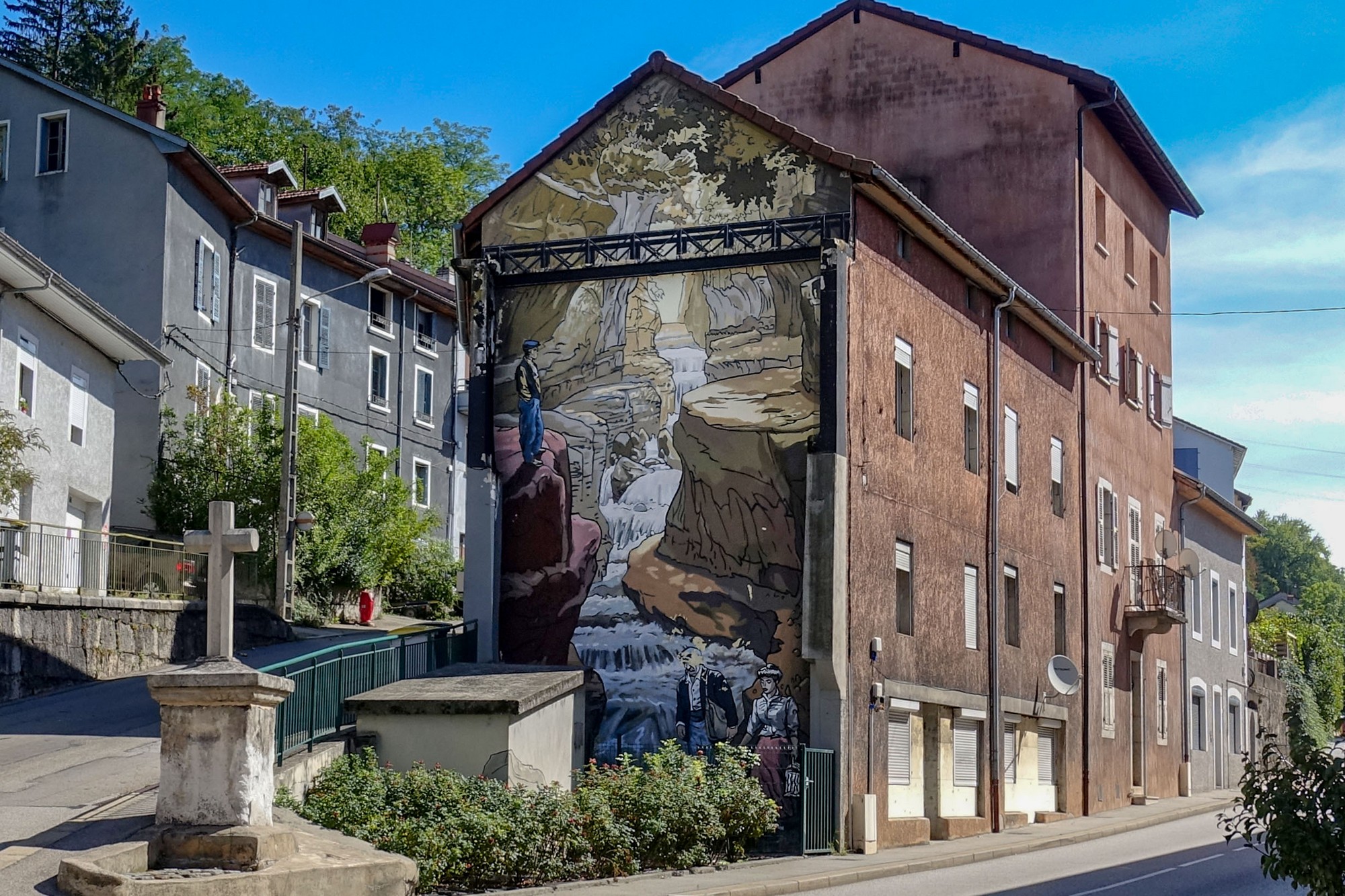
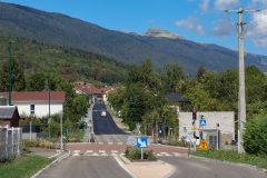
The road out of there was quite busy with lorries and other traffic but even though there wasn’t a cycle lane there was a section at the edge of the road which allowed me to keep out of the main part of the road. So I was never holding anyone up.
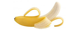
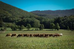
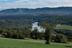
Three miles of gentle climbing later, I saw a wonderful view and stopped to get a photo and also had a banana.
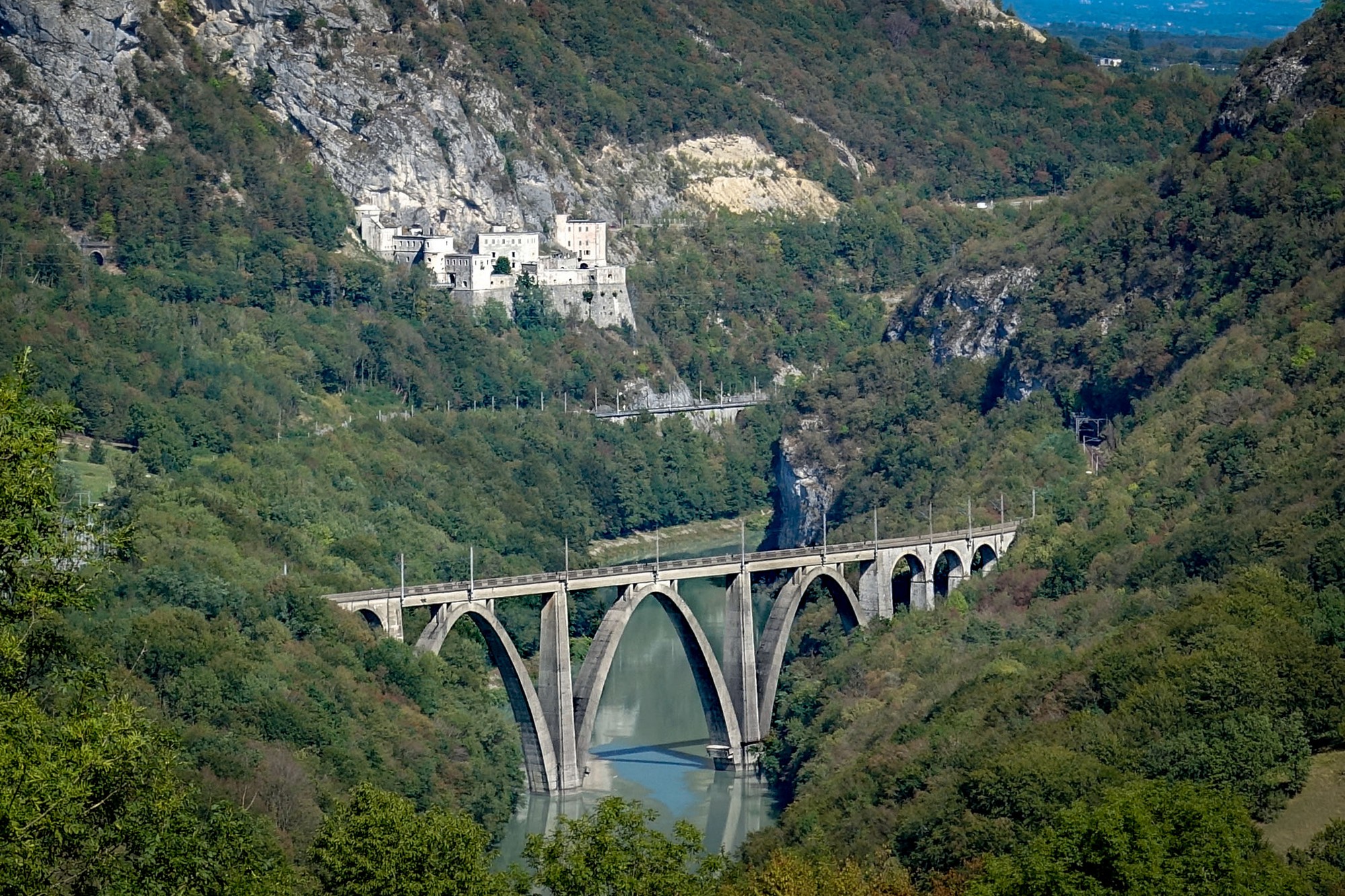
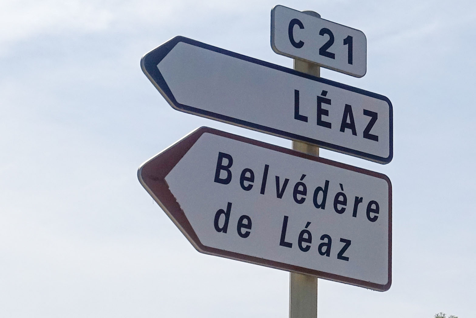
Where I had stopped, there was a sign pointing to a lookout point
I quickly googled la Belvédère de Léaz. It looked like it might be quite a walk to reach it, so I rode on.
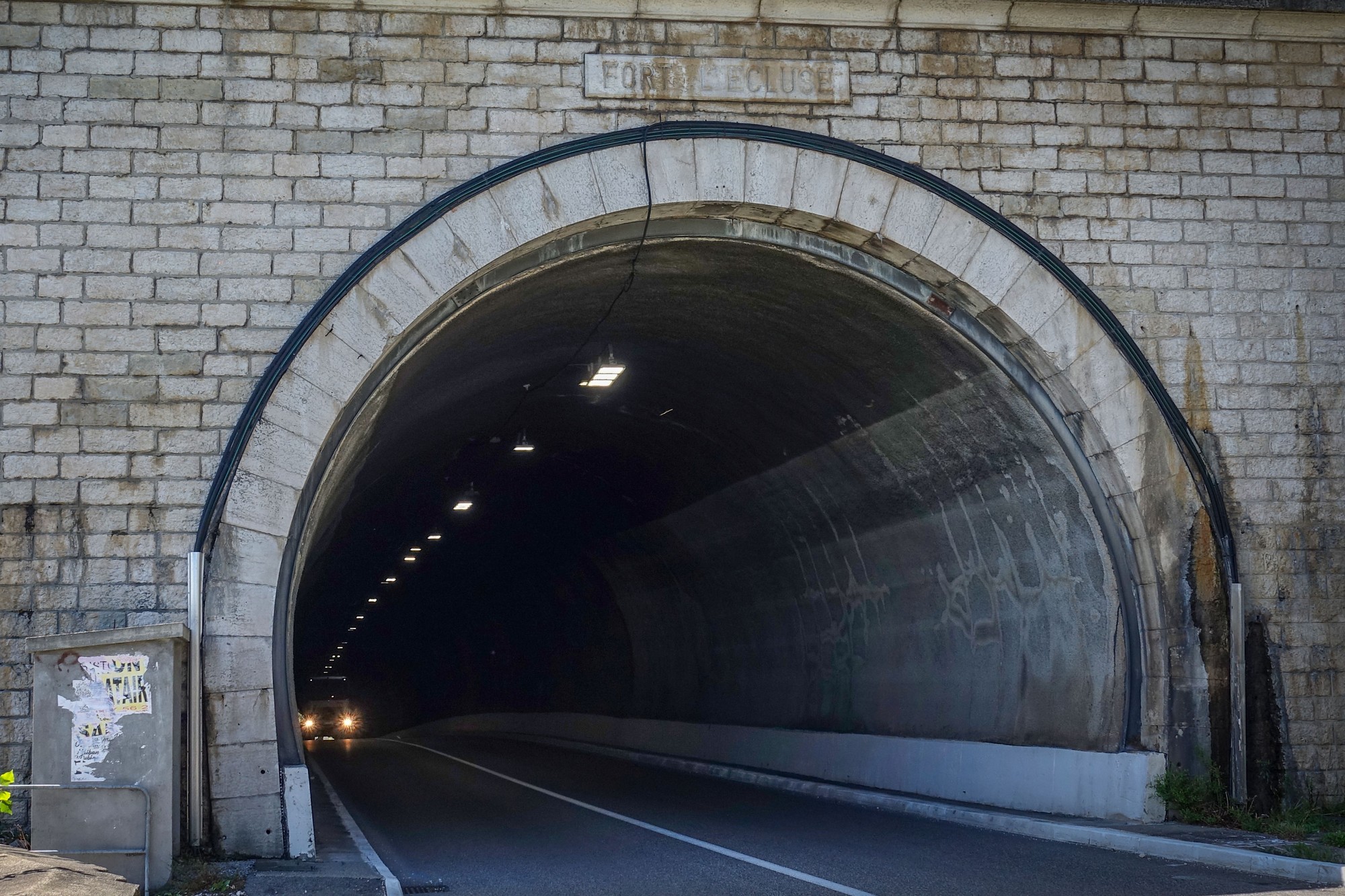
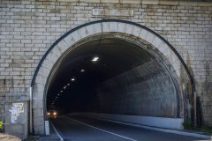
Two miles further along the main road I luckily managed to get right through the tunnel without any other traffic around.
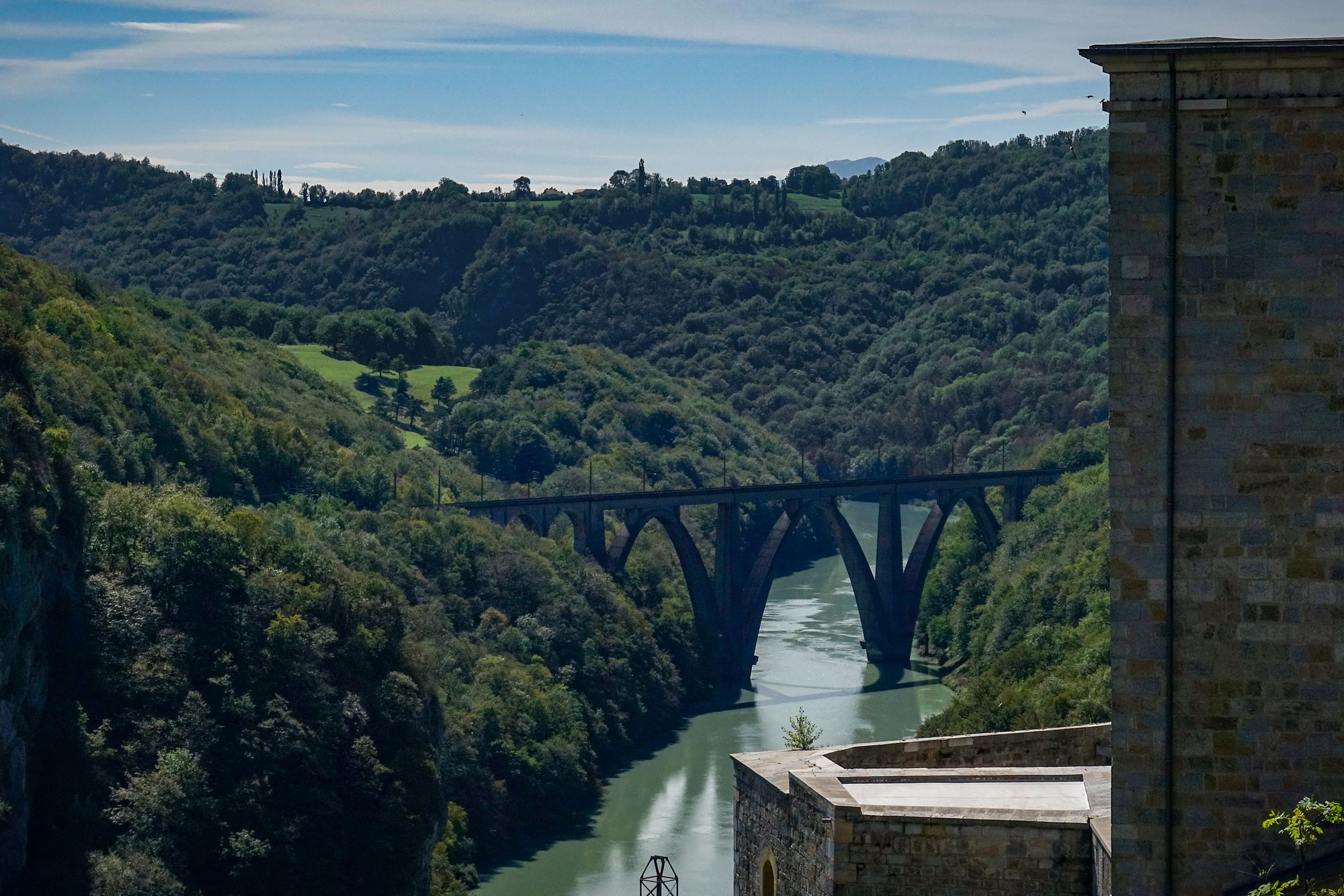
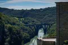
Once through the tunnel, just below the fort, I got another shot looking back to the railway viaduct spanning the Rhône
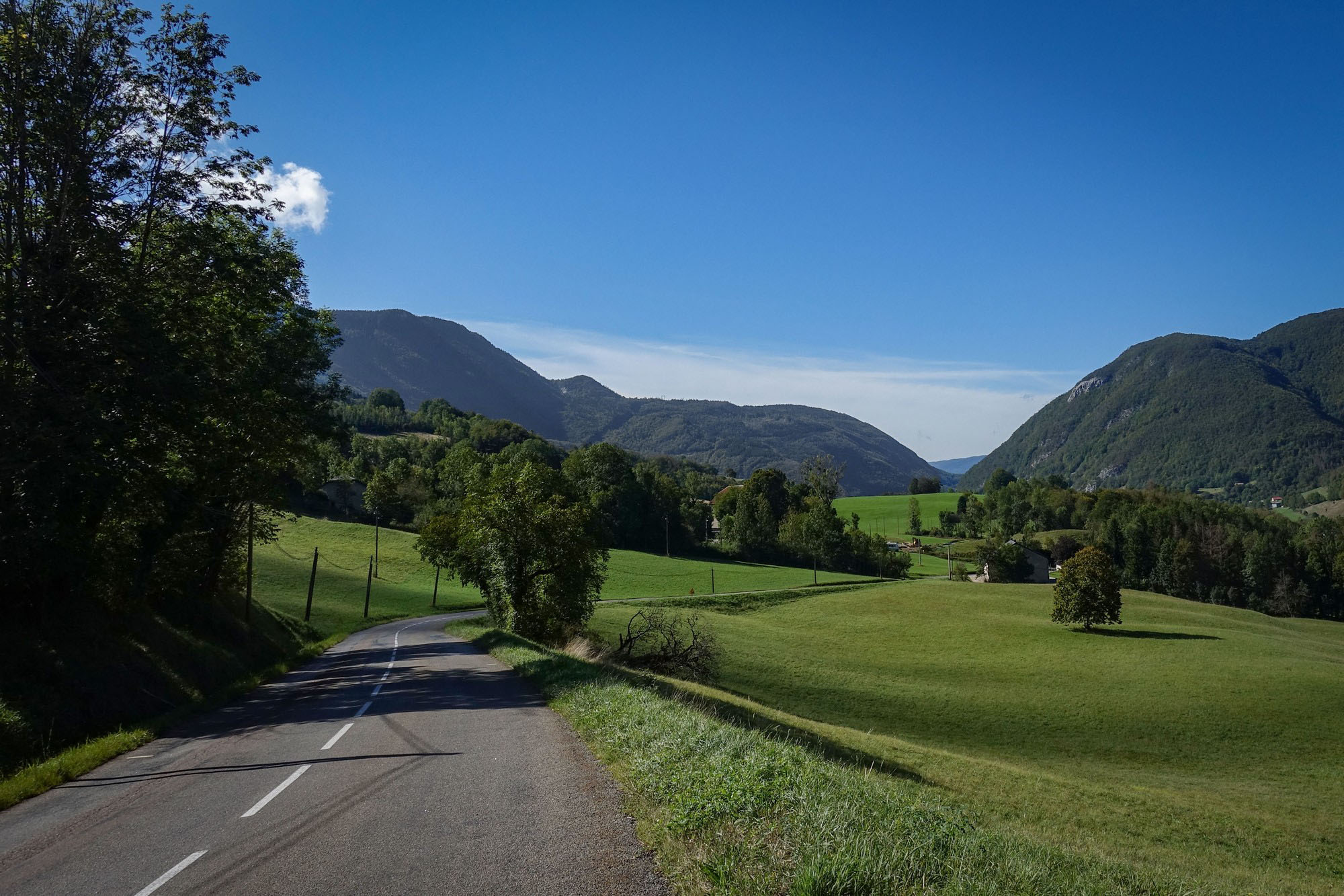
Eventually my route turned off that main road thankfully, and took a quieter road further up the hills. It still doesn’t really feel like I’ve done much climbing and, as predicted, I’ve had the southerly wind behind me all along this section. I’ve also had the sun on the back of my neck, so at one point I turned my cap around so that the peak was covering my neck.
The Rhône river basin was to my right:
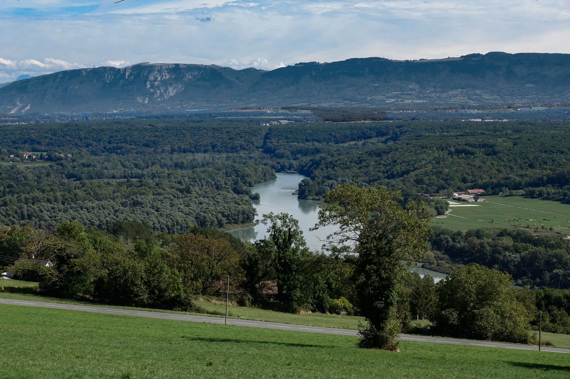
I came across various warnings of road closures.
On the first one they were resurfacing the complete road into the village of Farges.
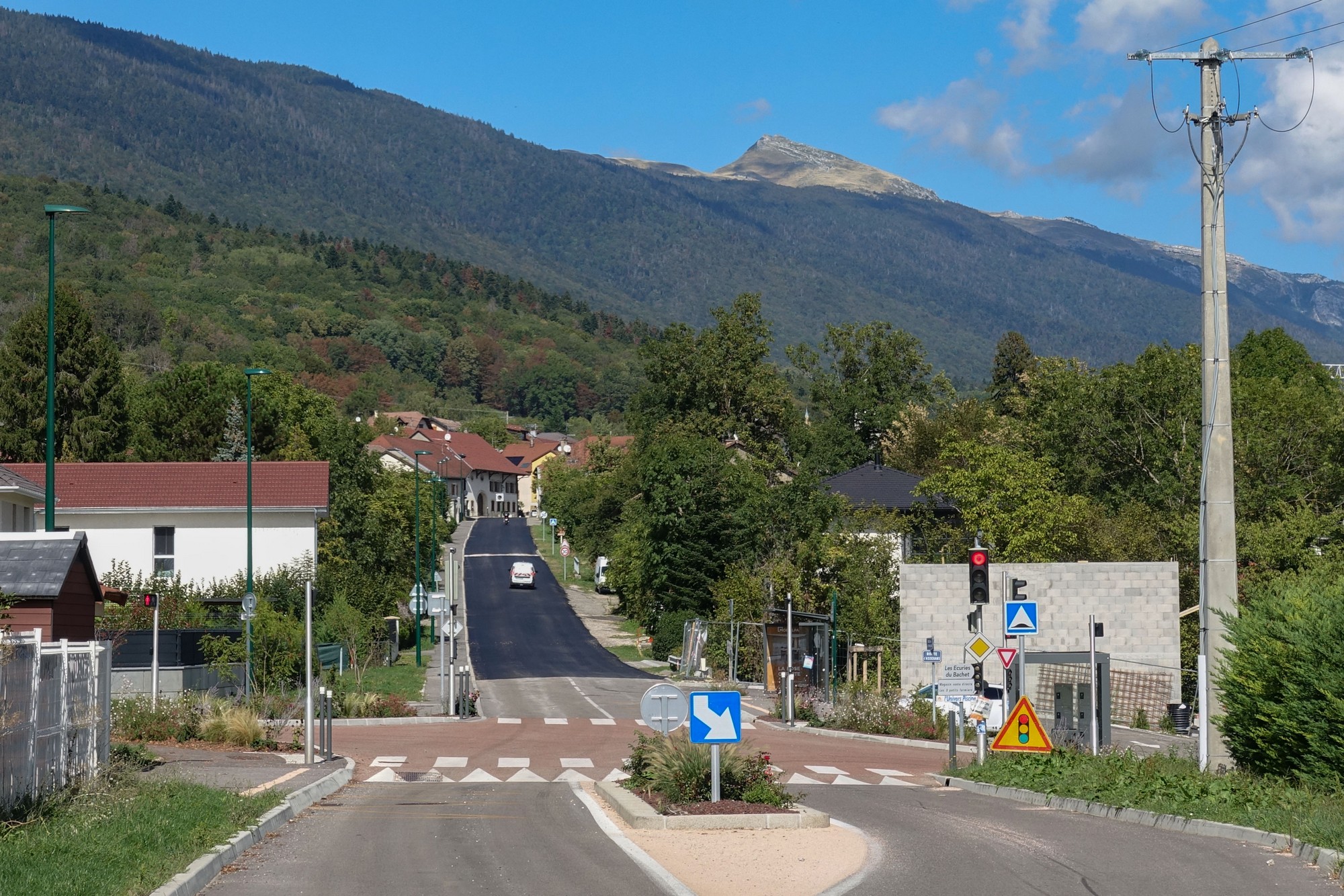
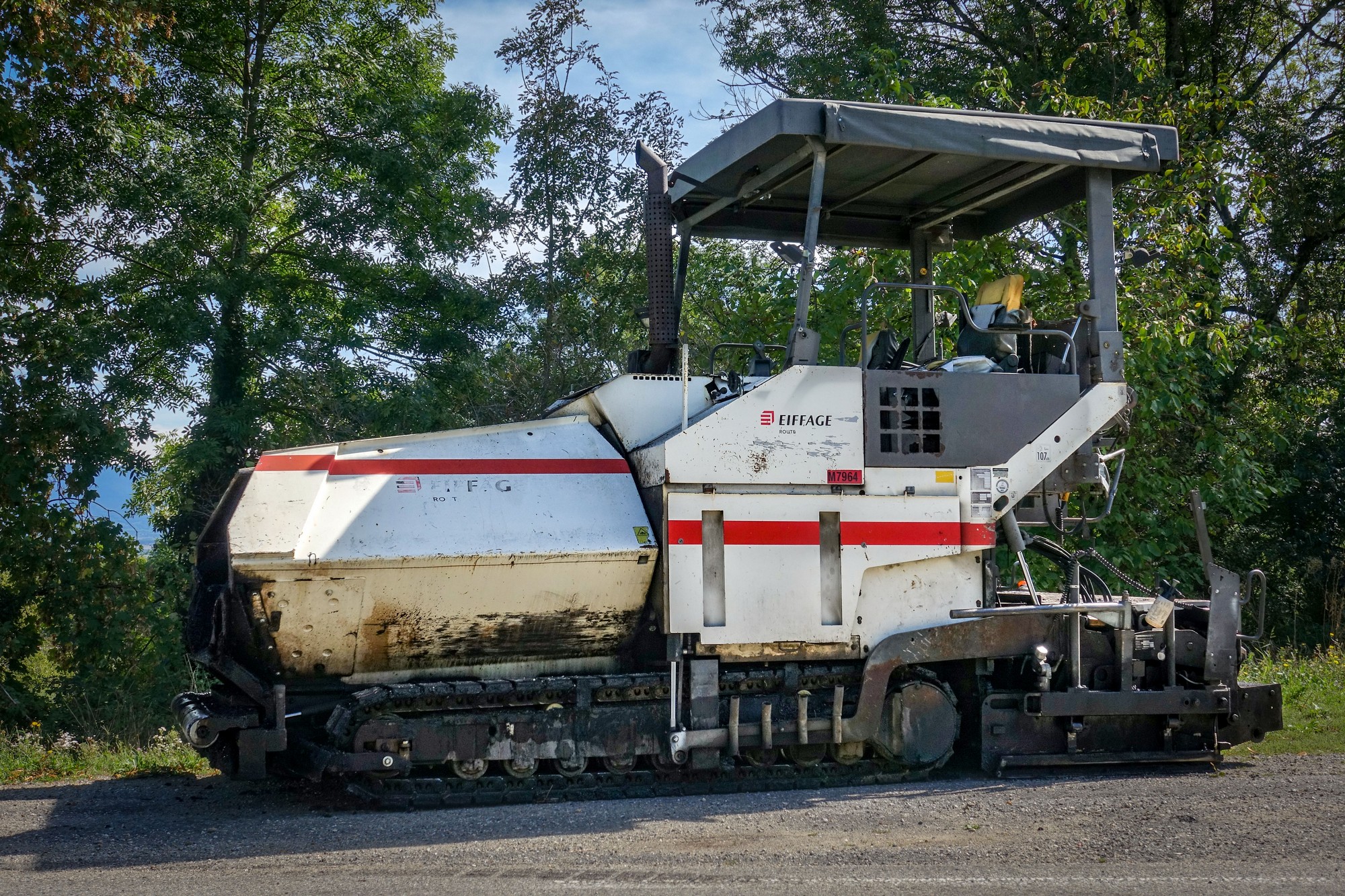
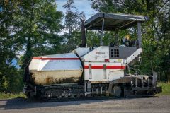
The first bit of new tarmac was rideable. Then I came to the section where it looked like they’d just resurfaced it and were sweeping it, but luckily there was pavement all the way along that section so I could keep off the tarmac. There must have been at least 20 workers in the gang sweeping and tidying up that road after having laid the new surface. This is why French roads are so good – it’s because they actually spend money on them. Roads in the UK are crap because no money is spent on them. We’re supposed to be one of the wealthiest nations but I often wonder where the hell the money is! In the pockets of the few I expect.
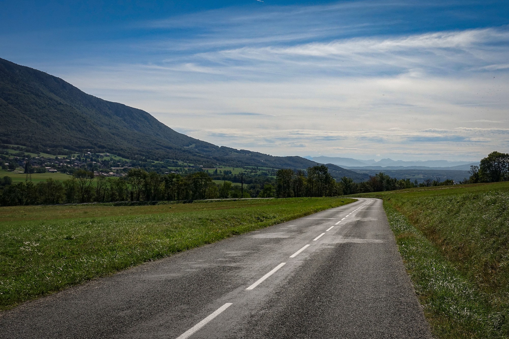
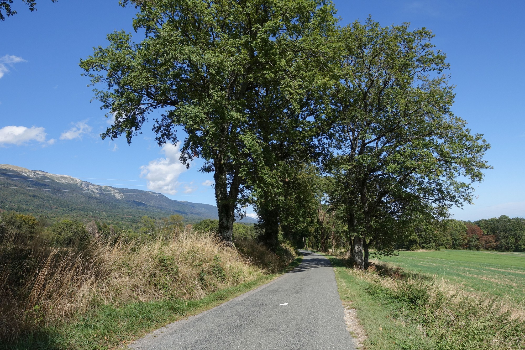
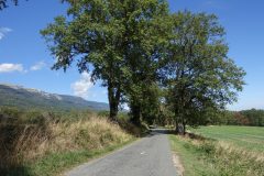
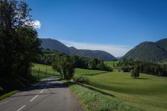
The road became a sort of country lane at one point, after coming through a series of linked villages.
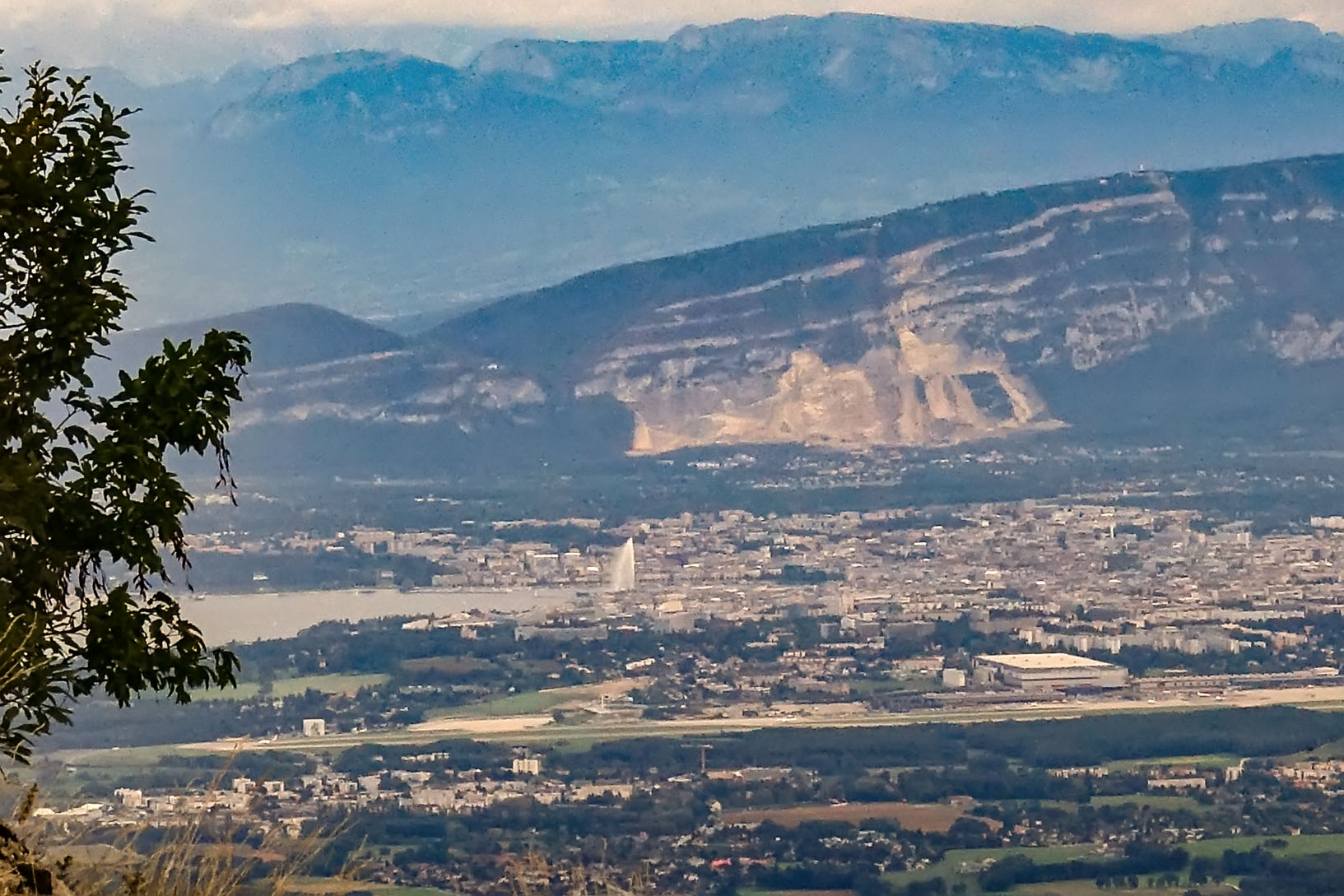
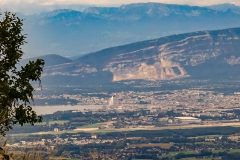
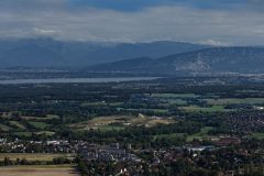
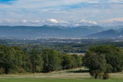
To my right in the distance was a large metropolis. I thought it should be Geneva, but I couldn’t see any sign of the lake, nor the Jet d’Eau, the 140 m high water fountain, which can be seen for miles. [in fact le Jet d’Eau is visible in the photo below, towards the left, but I hadn’t spotted it at the time]
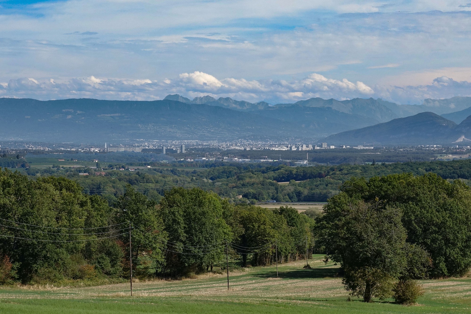
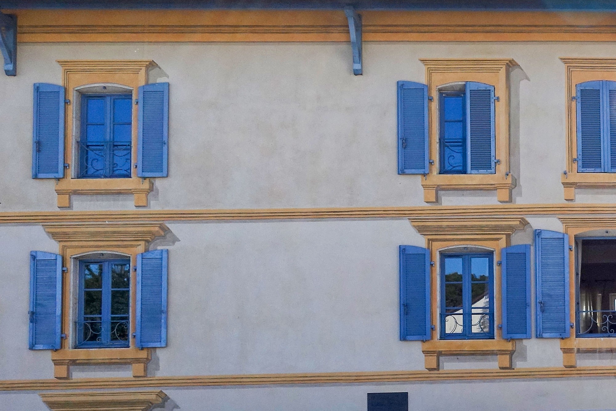
Now I’ve come to what seems like a very well-off area. I’m at the 37-mile mark so I think the climb to the col will be in about 8 miles time. I might be getting near Getz. I’m not sure. It’s now quite warm, with my Wahoo reading 23°C. I’m just about to set off again.
Final report
As can be seen from the photos, the weather forecast of ‘cloudy all day’ had been completely wrong. So, leaving Thoiry, after nearly four hours in the sun, I was on the lookout for water. Each village I went through could be an opportunity. A woman unloading her car – nope, didn’t want to disturb her. A man mowing his lawn – nope I’ll leave him to it. Etc. Another village passed by with no luck. This went on through several villages.
Then I asked a man if he knew where drinking water might be. He said there’s a tap round the corner. I went there and saw someone’s garden hose lying there. The doors to the house were open but nobody answered my calls of ‘bonjour’. I didn’t want to use it without permission so I rode on.
In the following village I saw a sort of municipal works depot, and a guy was just leaving. I asked him about drinking water and he walked with me to a hose pipe. He turned the tap on and let the water run with his hand under it, explaining that the water in the pipe would be warm. When he signalled that it was running cold I shoved my bidon under it and filled up. I thanked him and rode on.
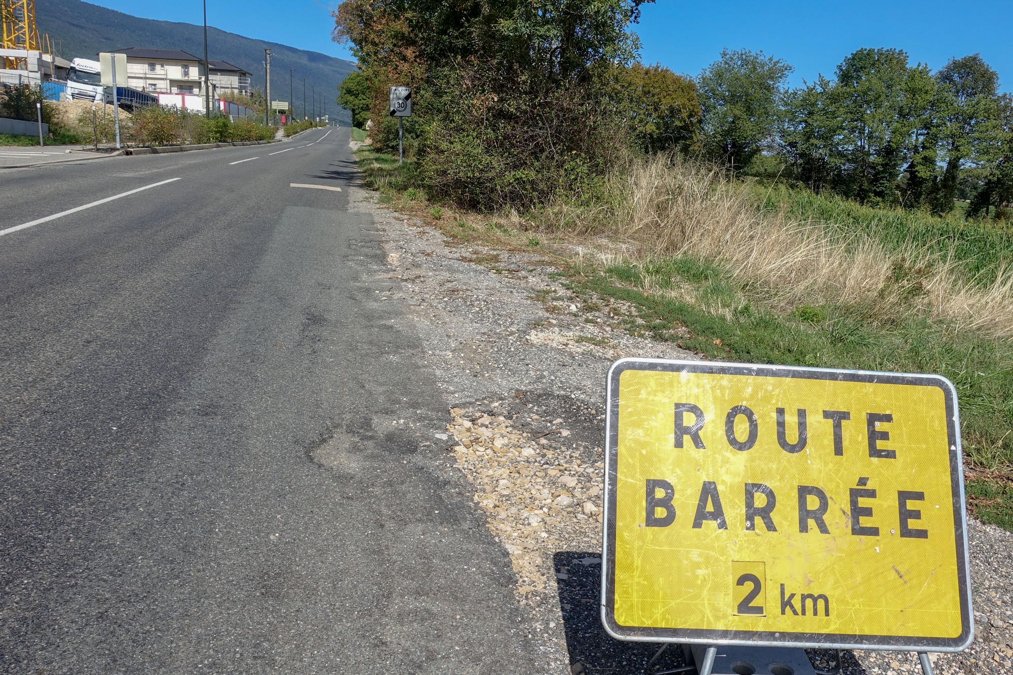
The next thing on my mind was how far was I from the main climb. I looked at my Wahoo and saw that it was coming up in 2 miles. At least I now had some water. The road descended into the town of Gex, out of which I rode up a steep side street that had the ubiquitous ROUTE BARRÉ sign near the top. I carried on anyway and found that it was just a small section of new tarmac at the top, which I could easily get round.
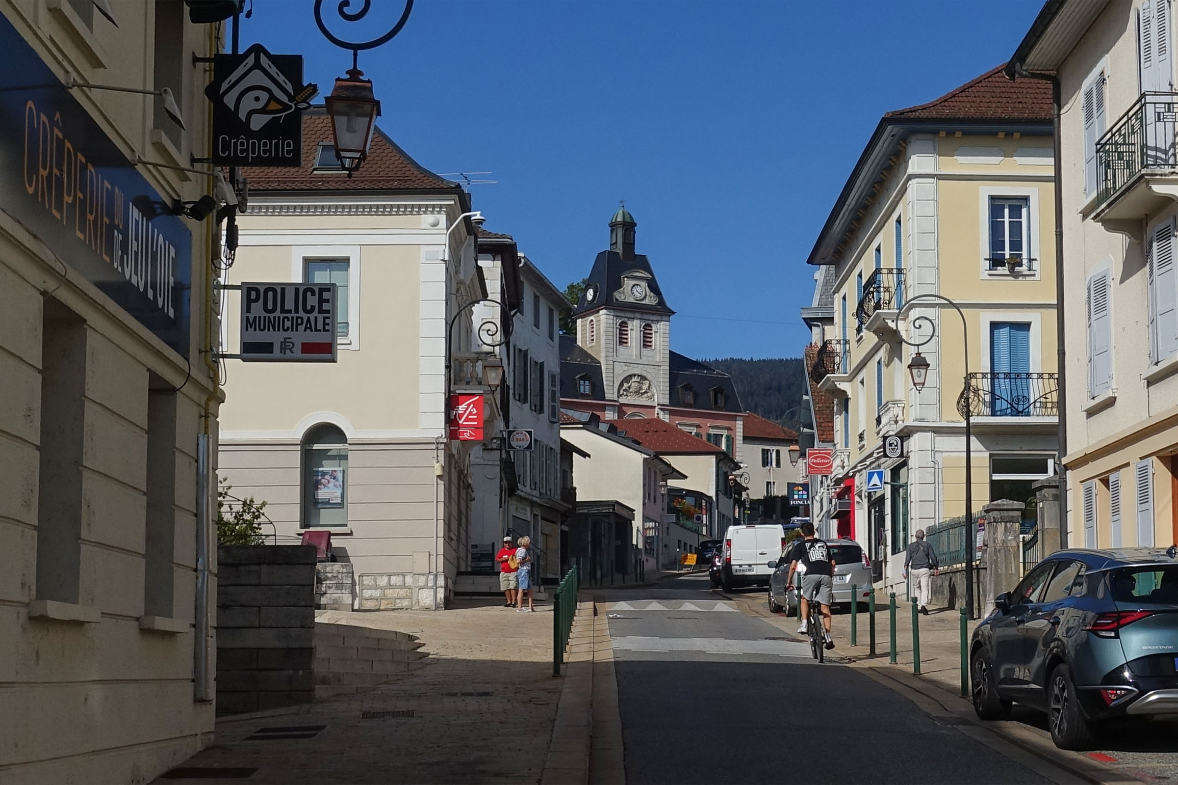
Coming out of Gex the route went straight into the seven mile climb to Col de la Faucille.
Less than a mile into the climb, I saw a mobile phone lying by the side of the road. I thought I’d pick it up and find out who the owners are later so they could collect it. Anyway I won’t go into the extensive details here about what happened next but suffice to say it involved several phone calls, four different people, a confused child, language barriers, me sending a photo of where I would leave it, etc, etc, etc. Anyway it all ended happily. The owner (and his sister?) drove up just as I was about to leave it in a safe place and thanked me profusely for finding it. Apparently he’d left it on the car roof and driven off.
That little fiasco had cost me twenty five minutes, although it felt like hours!
Continuing with the climb, the view to my left now definitely included lake Geneva (Lac Léman), and I could now make out the Jet d’Eau blasting high into the air, looking like a giant sail.
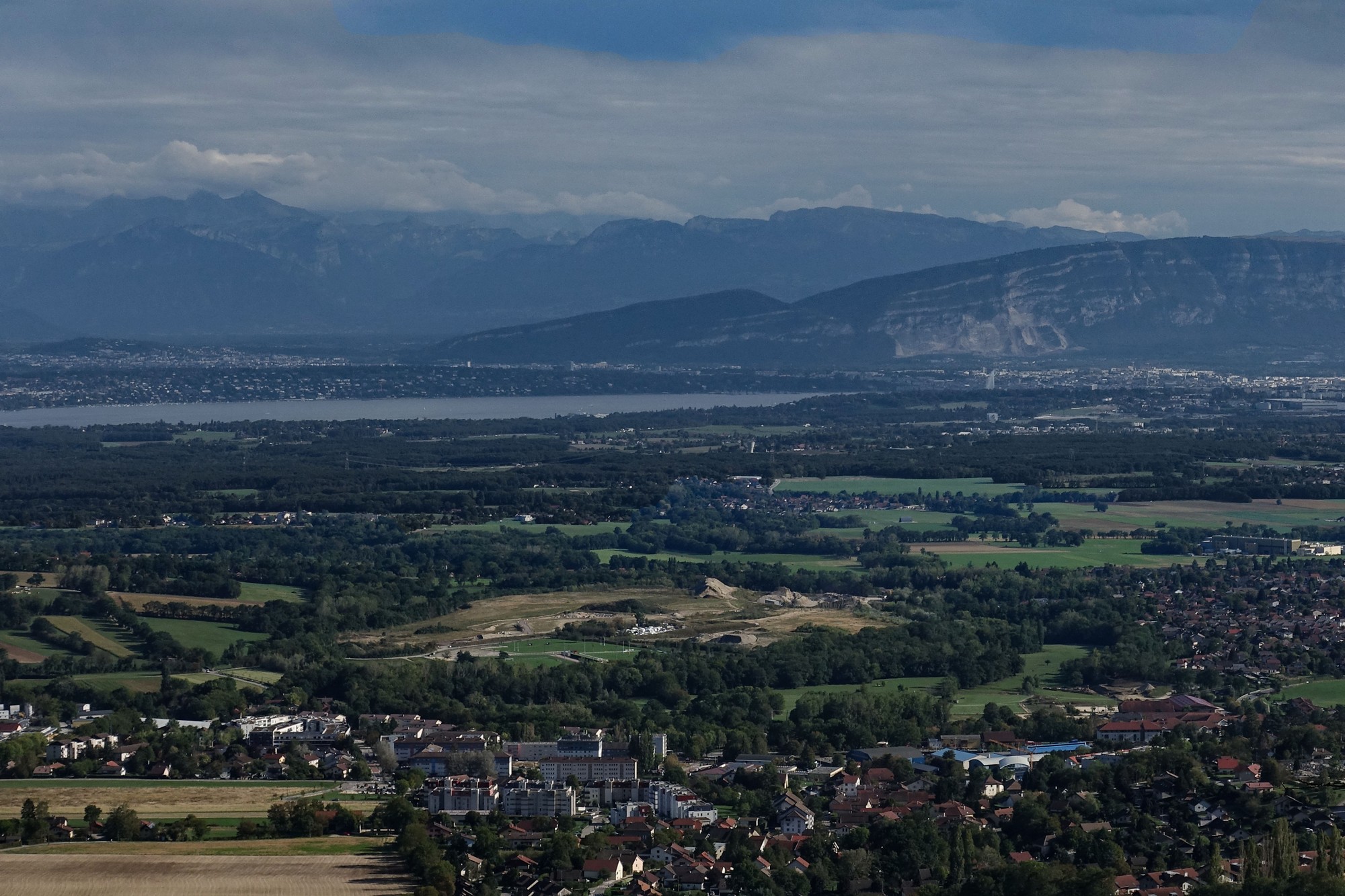
The gradients were not too bad – around 6% I think. Inevitably the previous 46 miles had indeed taken some effort and I was beginning to tire.
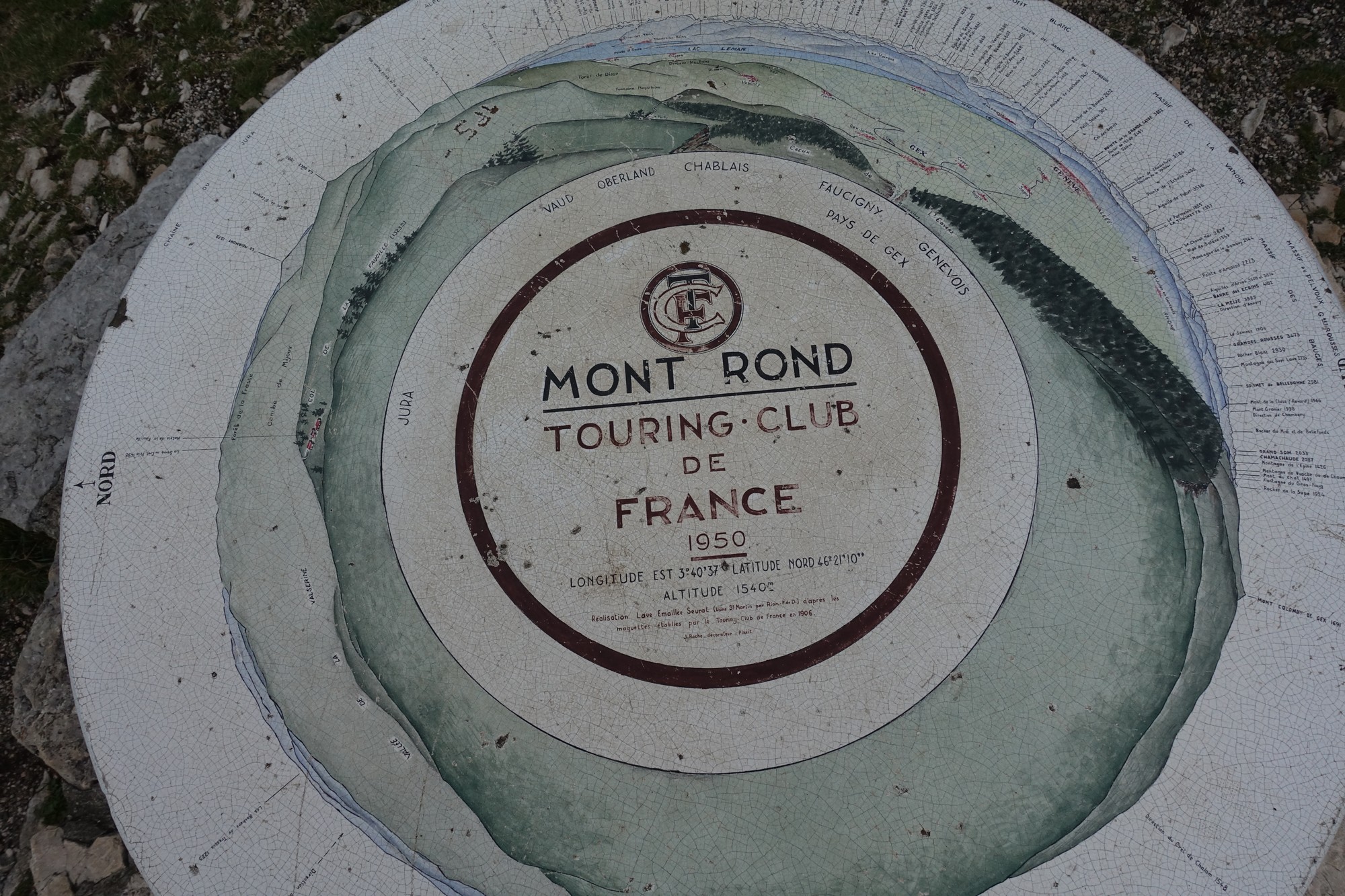
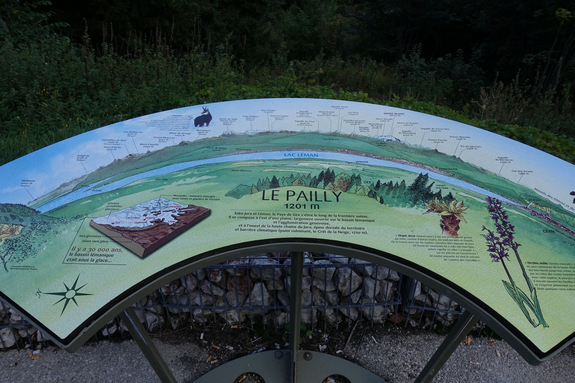
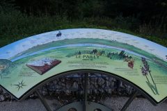
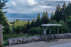
Just over a mile from the top I stopped at the Belvédère du Pailly, with its view over Lake Geneva and a table d’orientation.
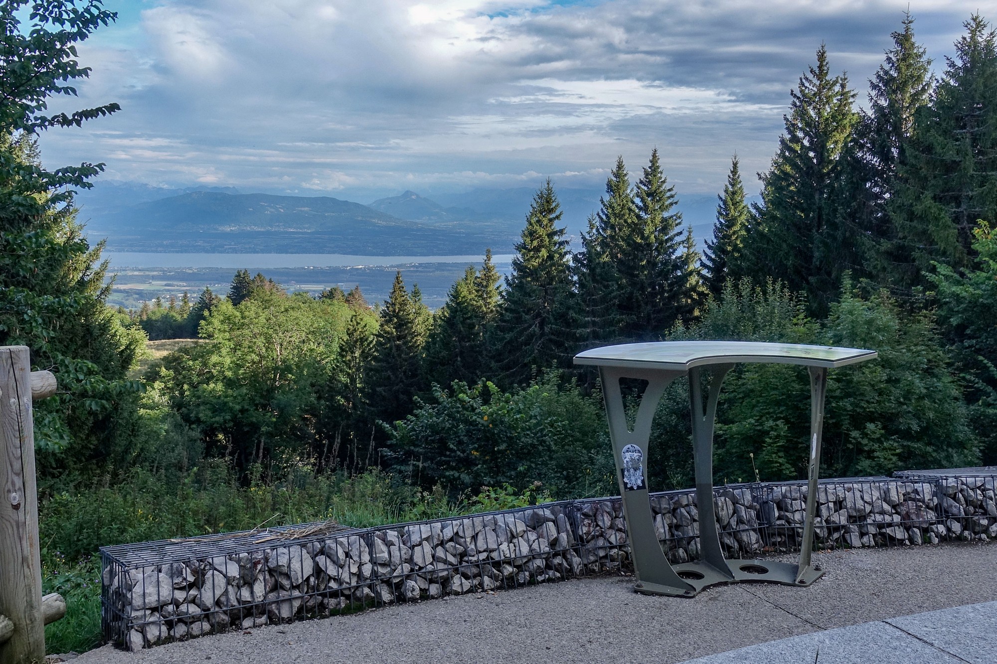
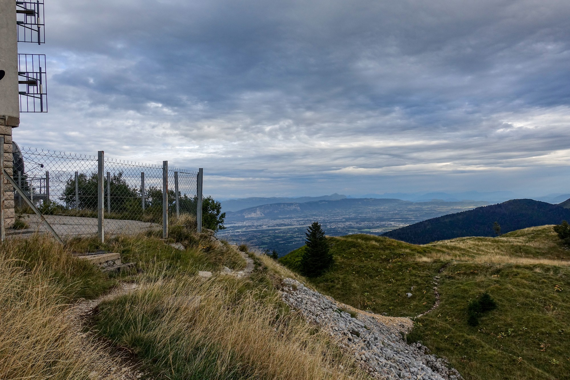
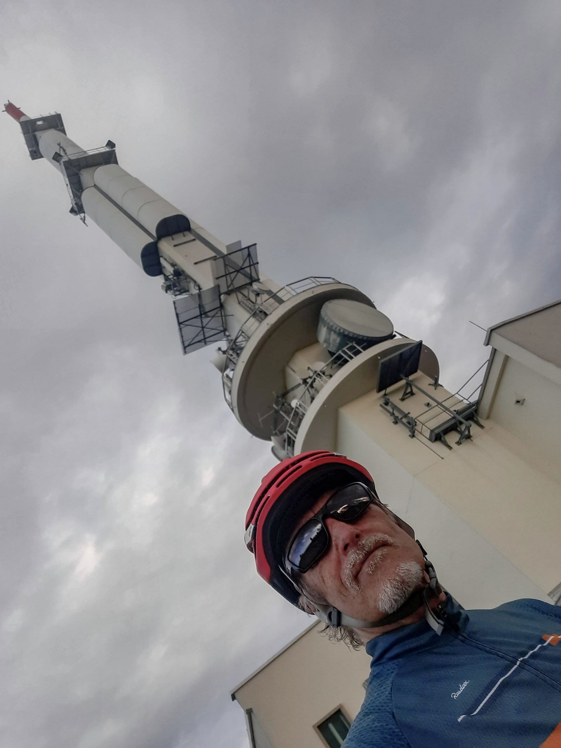
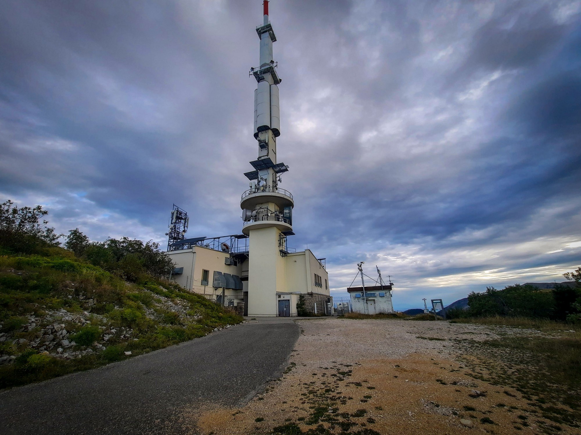
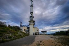
I didn’t think the view was that notable, so I rode on after a couple of photos. I reached the col about ten minutes later. Even though I was now running late because of the mobile phone fiasco, I decided that I would still carry on with the optional bit I’d planned that would take me from the col to the top of Petit Montrond and the huge radio mast.
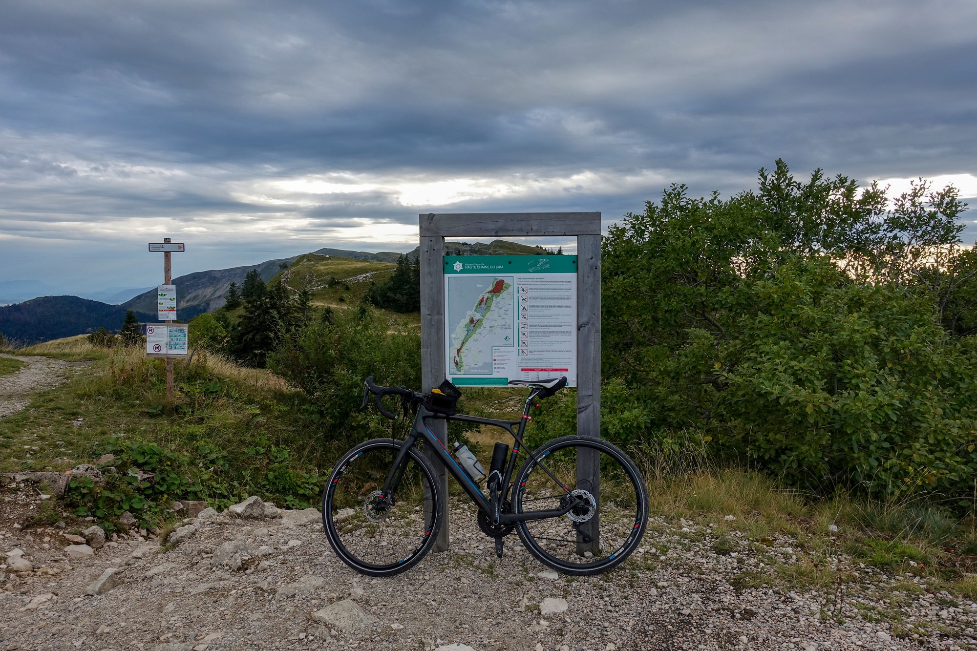
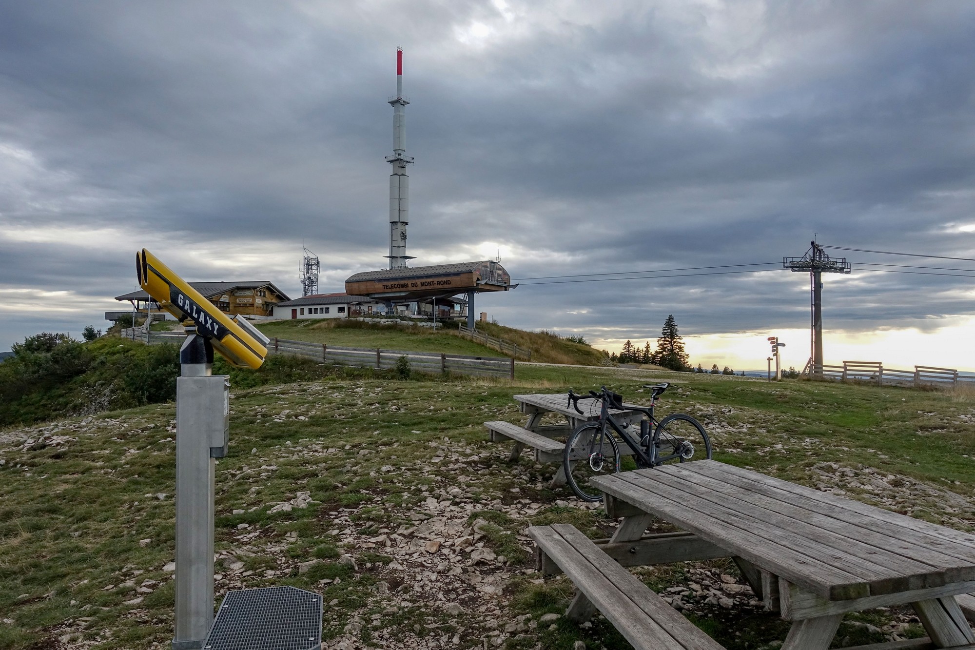
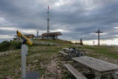
So I rode round the back of the hotel and up a stony wide track. I didn’t know what sort of gradients or surface awaited me, but then I saw a tarmac track that would take me all the way to the top. I ignored the white circle sign meaning that all vehicles (including bikes) were prohibited. This was obviously a service road for vehicles accessing the mast. It was steep, but I just kept grinding away. It averaged 8.4% over a mile and a half and climbed another 725 ft. But it was well worth it.
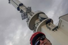
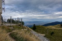
There were panoramic views all around. I walked round the back of the mast enclosure but there was nowhere to go, especially in cycling cleats.
Two workers left the mast enclosure and got into their pickup after locking the gates.
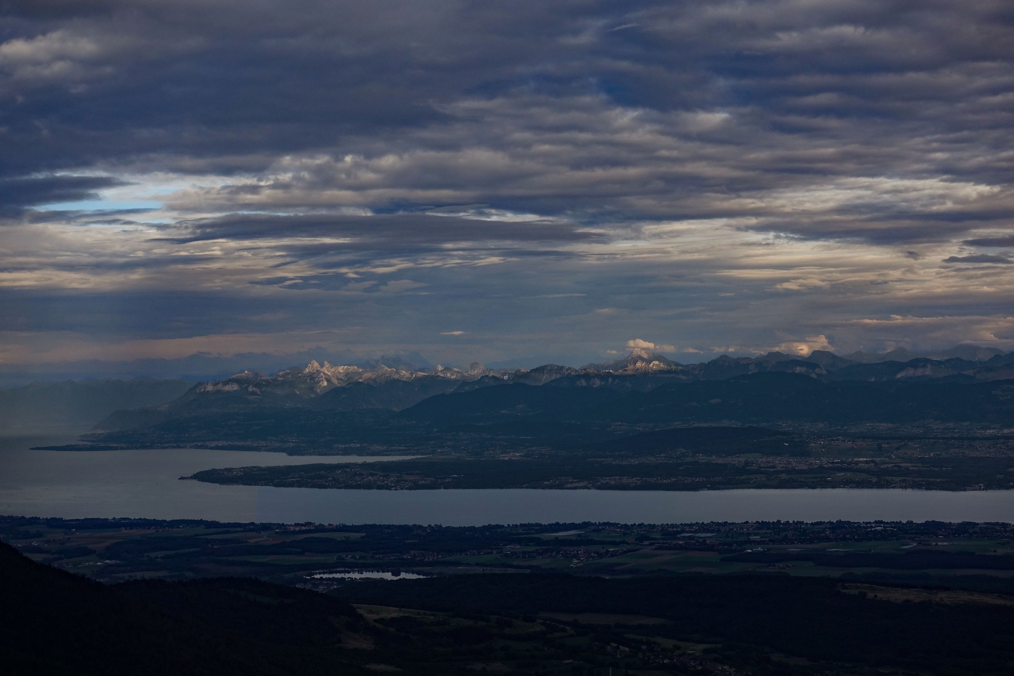
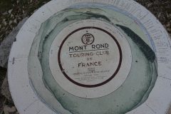
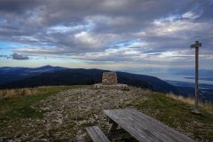
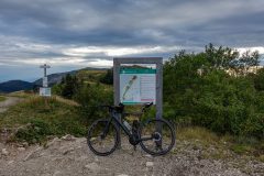
As I came away from the mast I noticed a guy on higher ground standing by what looked like a table d’orientation, so I made my way up there, and was astounded by the view.
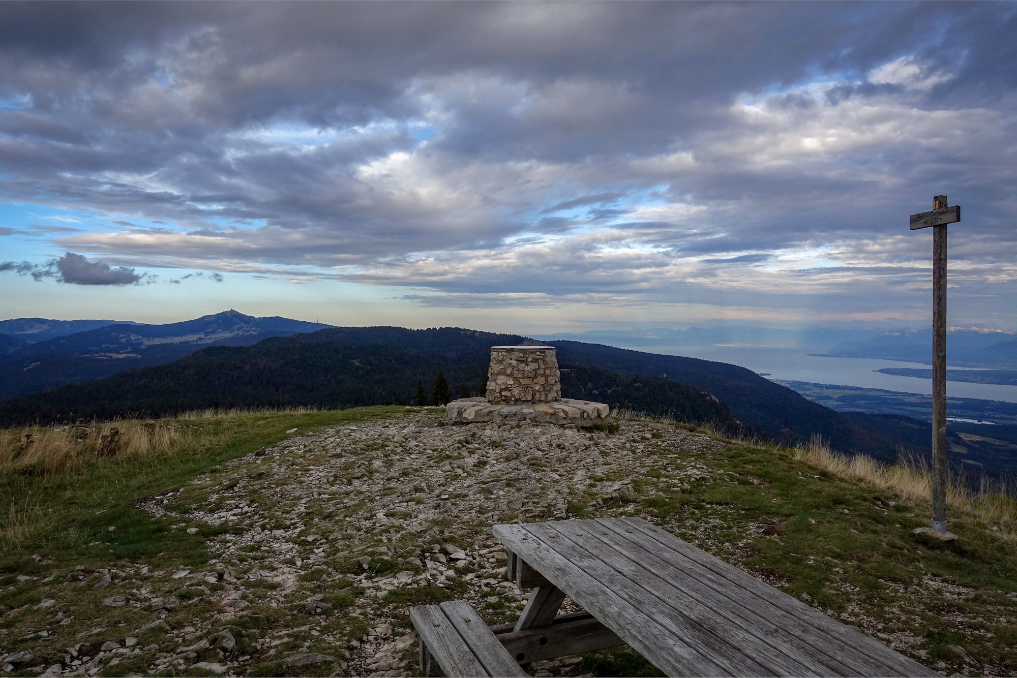
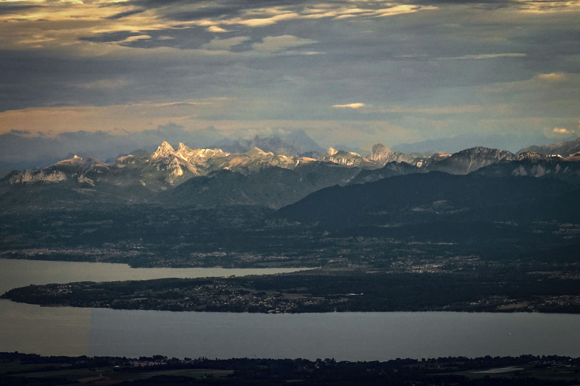
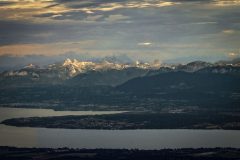
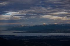
Lac Léman (Lake Geneva) was stretched out beneath me, Genève to the right, and the great expanse of the lake fading into mist to the left, towards Montreux. And the snow-capped mountains of the Massif du Chablais on the horizon were the icing on the cake.
It was a beautiful view which I might have missed had I not noticed that guy standing there. Try as I might I have been unable to process my photos in any way that comes close to representing what I saw. The view was simply too big to fit into a camera!
Unfortunately it was too cloudy in the direction of Mont Blanc to be able to see that giant. What a view it would be from this point on a clear day!
Conscious of the fading light, I had to tear myself away from that magnificent vista and make my way back down. There were a few spots of rain on the descent to the col, but it came to nothing I’m glad to say, because I still had 11 miles to get back to base.
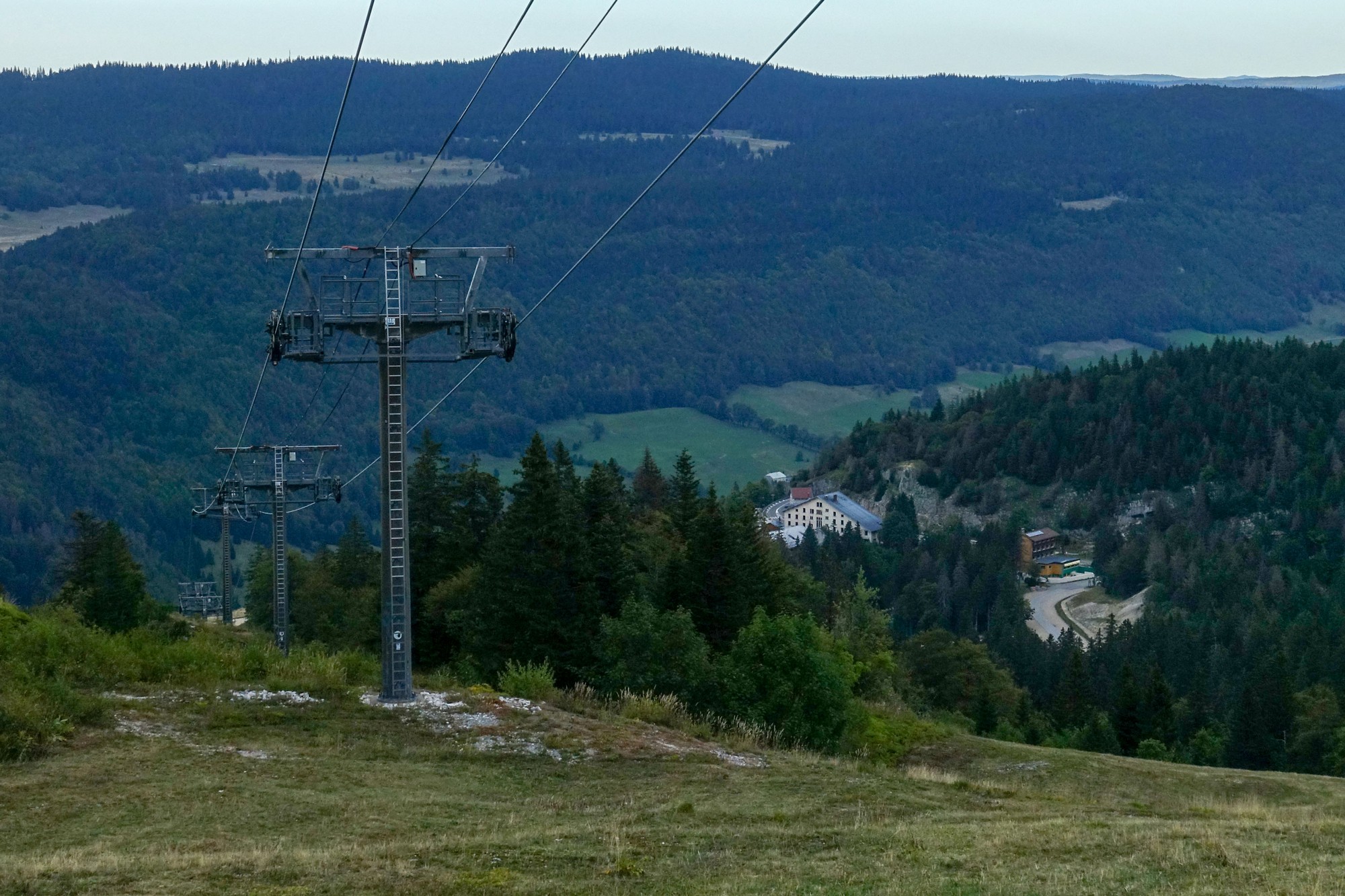
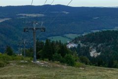
It was much cooler now and I sped back from the col down through the forest and along the Vallée de la Valserine. I was gagging for hydration. My mouth was bone dry.
It had been another great ride in the Jura mountains. I’m really glad I carried on all the way up to the radio mast. And it had ended with eleven miles of almost continuous descent – that’s the way all rides should end!
Further reading
- Le Pont des Pierres
- Réserve naturelle nationale de la Haute Chaîne du Jura (English)
- Massif du Chablais
- The Valserine river and valley
- Volvo D Series Tracked Pavers (video)
- Jet d’Eau Geneva water fountain (English)
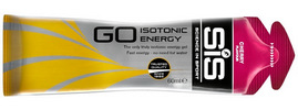
Fuel
Gallery
Click to enlarge / see slideshow





Thanks once again for taking time to let us follow your adventures Vince. What an amazing view at the end. I surely agree that there seems to be no way to replicate in words or photos the scale of these mountains and amazing places. I’ve more or less given up on trying!
Cheers
Thanks for your comment Martin. It makes you realise you should take time to savour these views to their fullest while you’re there, and not rely on the camera so much to preserve them.
(I’m saying that as advice to myself ! )
Cheers