Distance: 49.5 miles. Elevation: 4355 ft.
Col d'Hahnenbrunnen | Col de la Grande Basse | Col des Feignes sous Vologne | Col du Surceneux | Col du Port des Planches | Col des Charbonniers | Le Collet | Col de la Schlucht
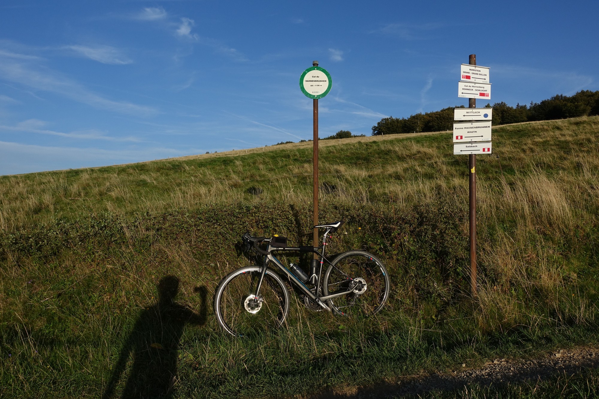
I designed this loop from Le Markstein via le Col de la Schlucht, to include as many ‘official’ cols as I could reasonably fit in, so I could add them to my growing list of visited cols. This ‘col hunting’ is leading me to some interesting places.
First report 15:45
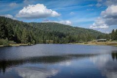
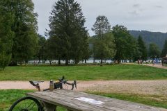
This report coming from Lac de Longemer, 25 miles into the ride, where there are hundreds of people around, walking their dogs, with their kids, having a picnic and otherwise enjoying this warm Sunday afternoon. There are loads of facilities here: toilets, picnic tables, cafes, massive car parks (free of course).
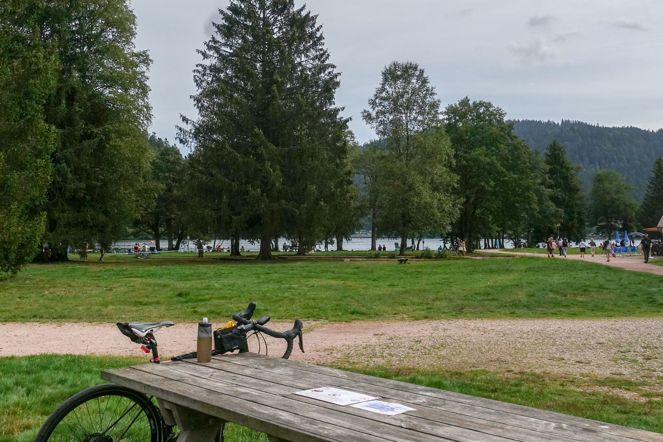
I came out without sun lotion because the weather said it wouldn’t be sunny at all, just high cloud. The temperature wasn’t as warm as I’d expected at first, but I didn’t need arm warmers.
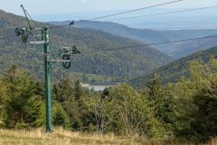
Just as I left Le Markstein I noticed Lac de la Lauch down to my right, which had featured at the end of my previous ride.
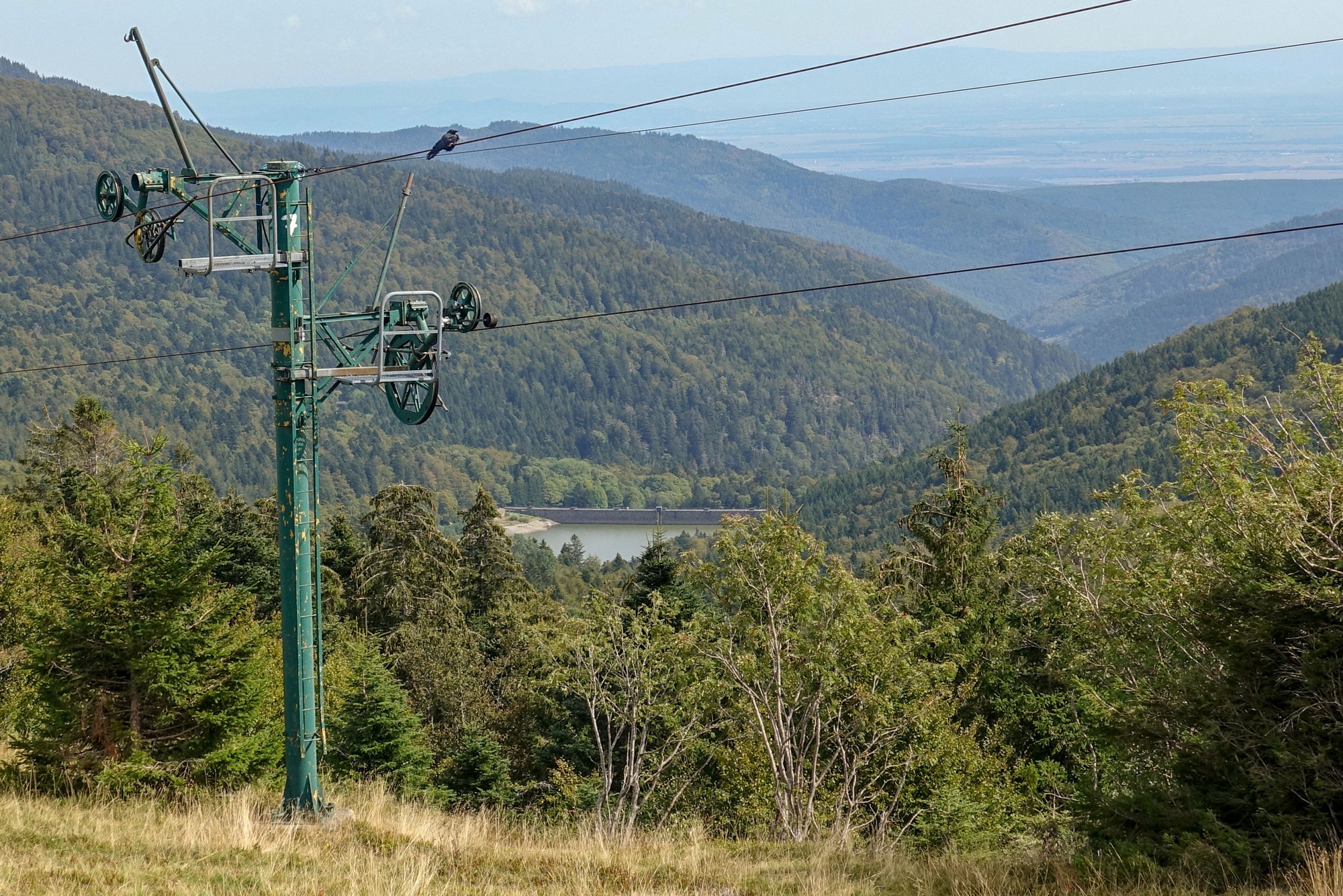
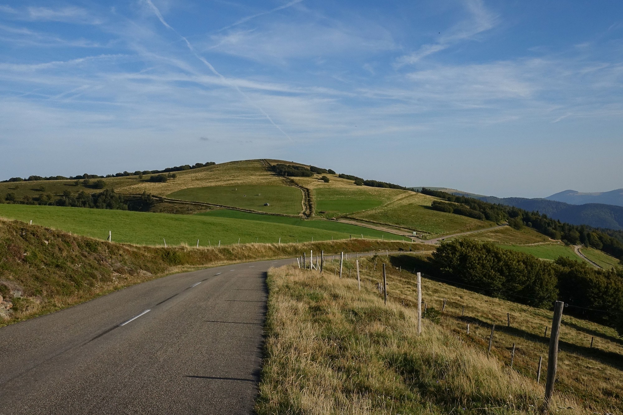
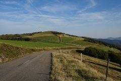
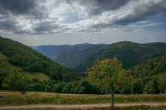
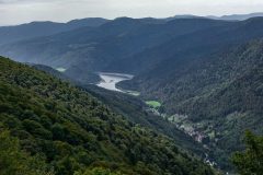
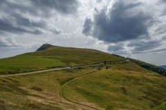
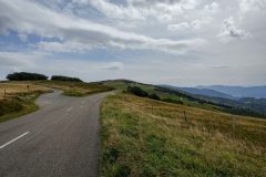
As can be seen from the profile/map, the beginning and end of today’s route are pretty flat as they traverse part of the Route des Crêtes. That road along the ridge offered spectacular views to the left (west) over la Vallée de la Thur to the forest-covered mountains of the Vosges beyond. To the right (east) were higher peaks, blocking what would be a view towards the Alsace plain and the Black Forest over the German border. Sometimes there were opportunities to catch sight of the view in that direction. Today, the road was thronging with motorcyclists , open top sports cars, cyclists, motorhomes, etc.
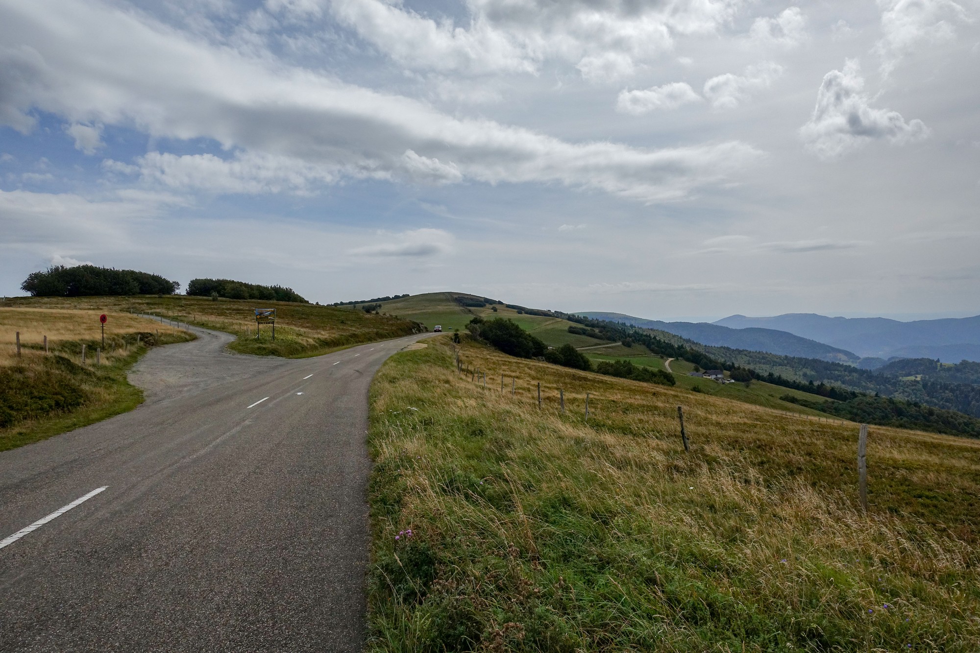
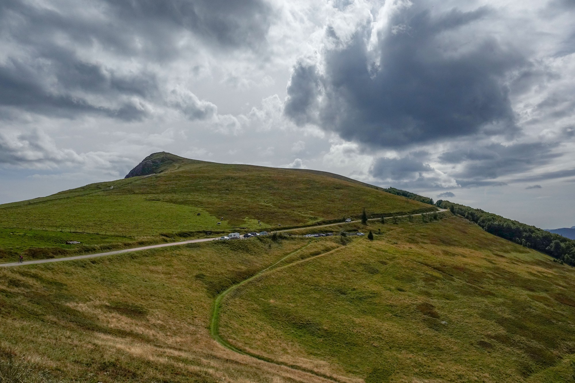
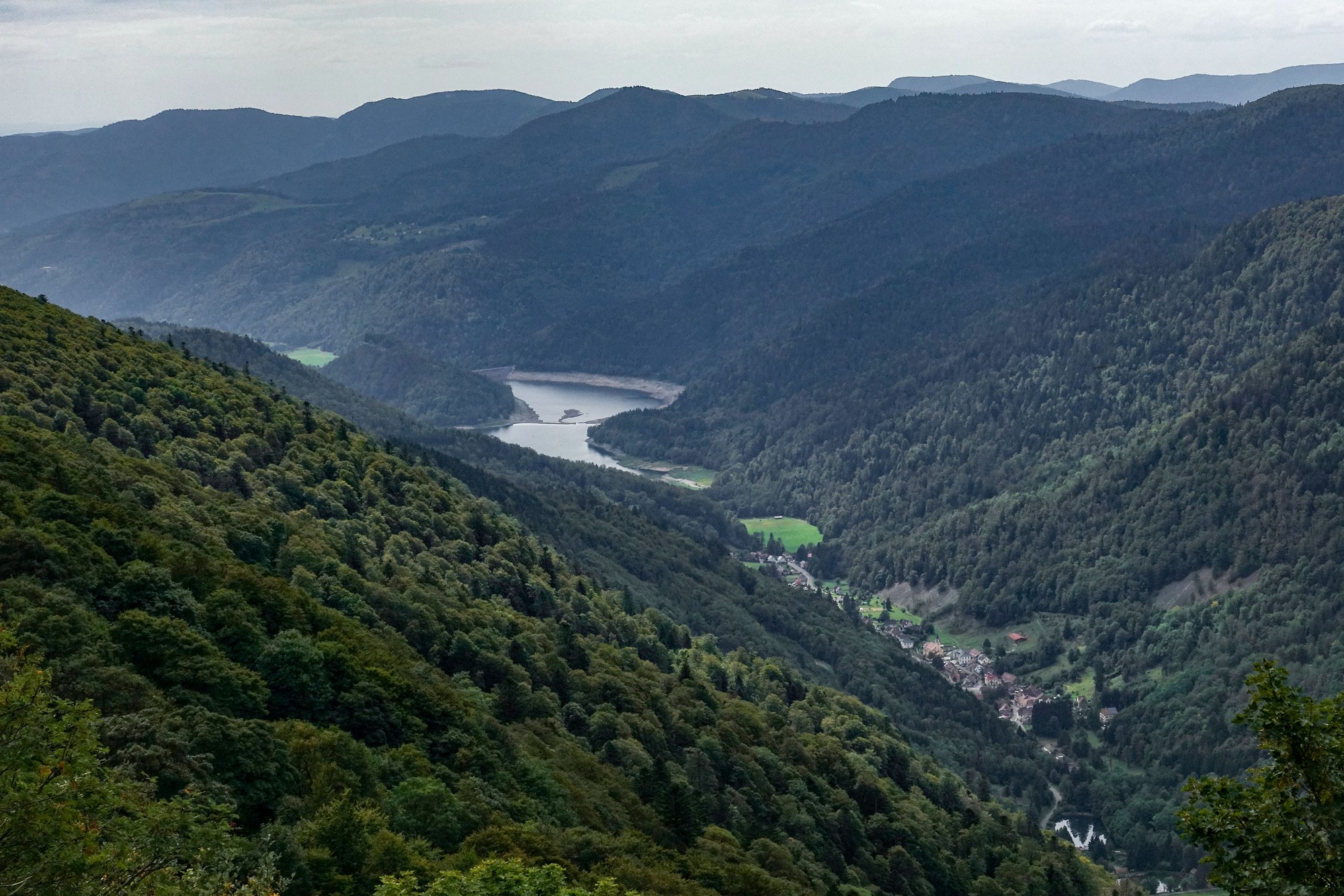
There were loads of places all along this road where you could park your car and have a picnic, go walking or whatever, which is what many people were doing. Obviously it was busier today, being a Sunday. Apparently that road is heaving in the summer.
Eight miles along the ridge, I turned left to plunge down into the valley, towards La Bresse, via la Route des Américains , a road constructed by the American army around 1917 to supply the soldiers who were fighting on the Vosges Ridges.
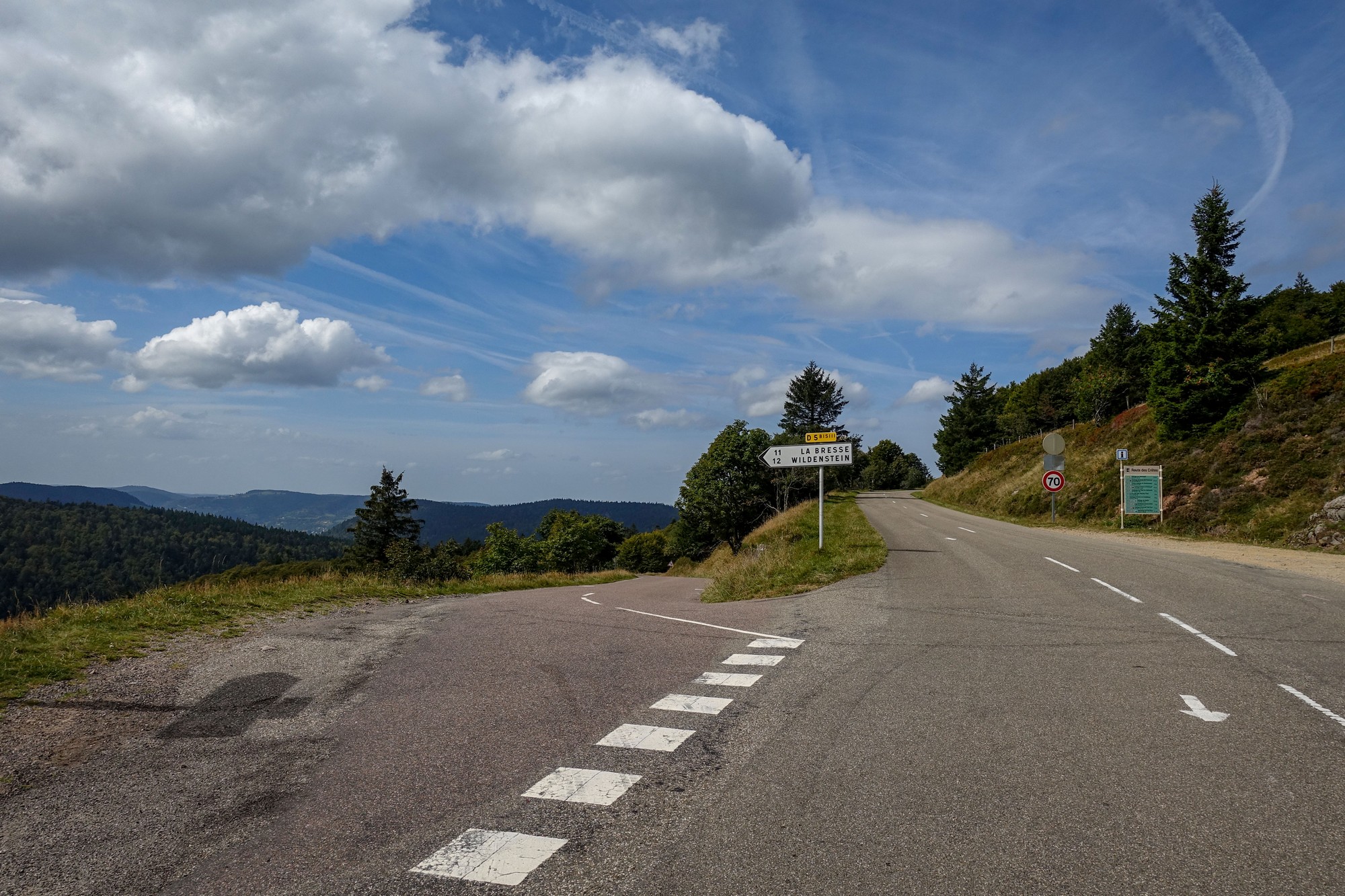
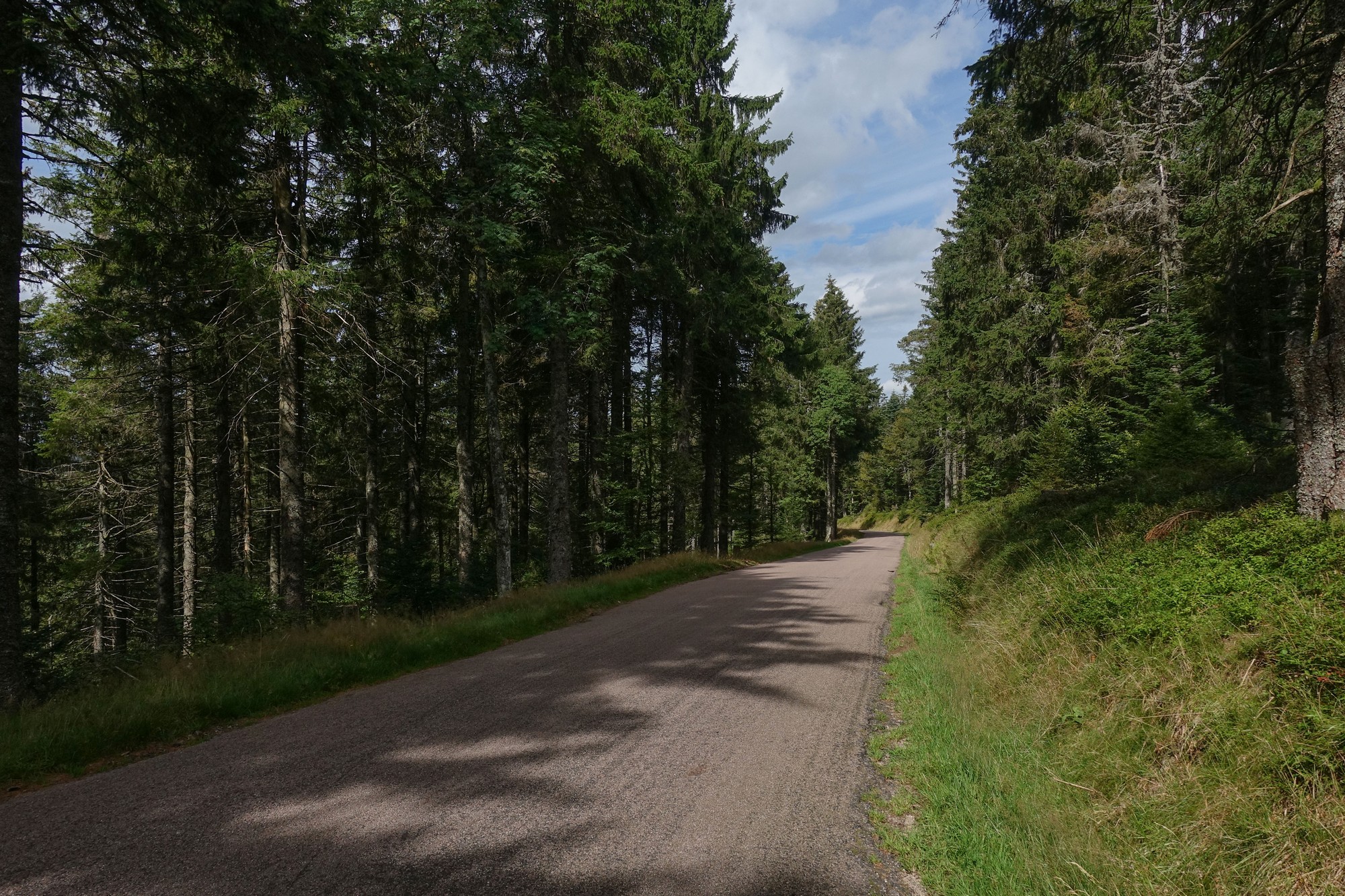
Largely free of traffic, it twisted down through the forest for four miles at 7%, until it joined the road descending from Col des Feignes sous Vologne (which features later in this ride) towards La Bresse. That was a fast, wide, sweeping road with a perfect surface. A very enjoyable speedy couple of miles led to the outskirts of La Bresse.
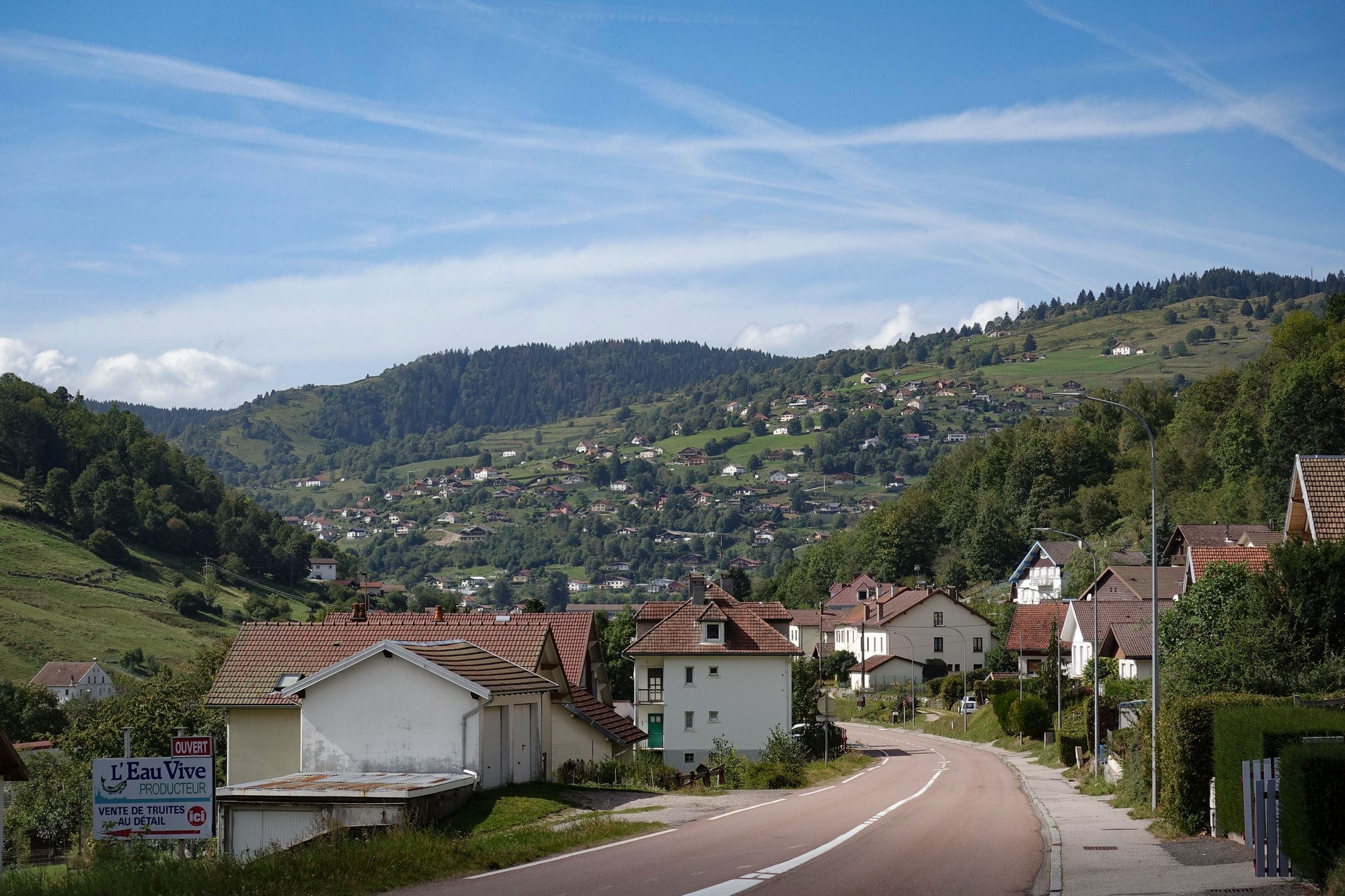
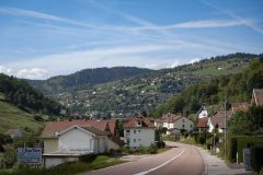
I turned right before entering the main town. After an initial 10% stretch past houses, there followed a gentle climb up through the outskirts of la Bresse on a lovely quiet road dotted with houses and chalets, with people sitting on their balconies having lunch. Every house had a huge stockpile of firewood for the winter.
The earlier hazy sun had turned into full-on sunshine now. I was worried that I hadn’t got any lotion on or had my neck protector. The sun was on my back all the way up that climb out of La Bresse.
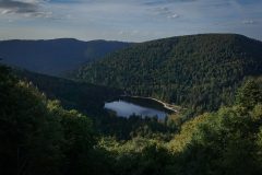
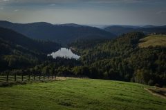
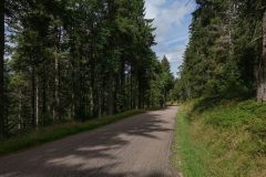
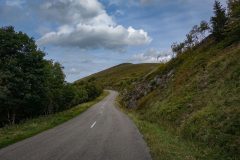
There were no motorbikes or sports cars up that road. It was very peaceful, just how I like it. The houses eventually petered out to forest. Every now and again there was somewhere to stop to look at a lake or whatever, or go for a walk in the forest.
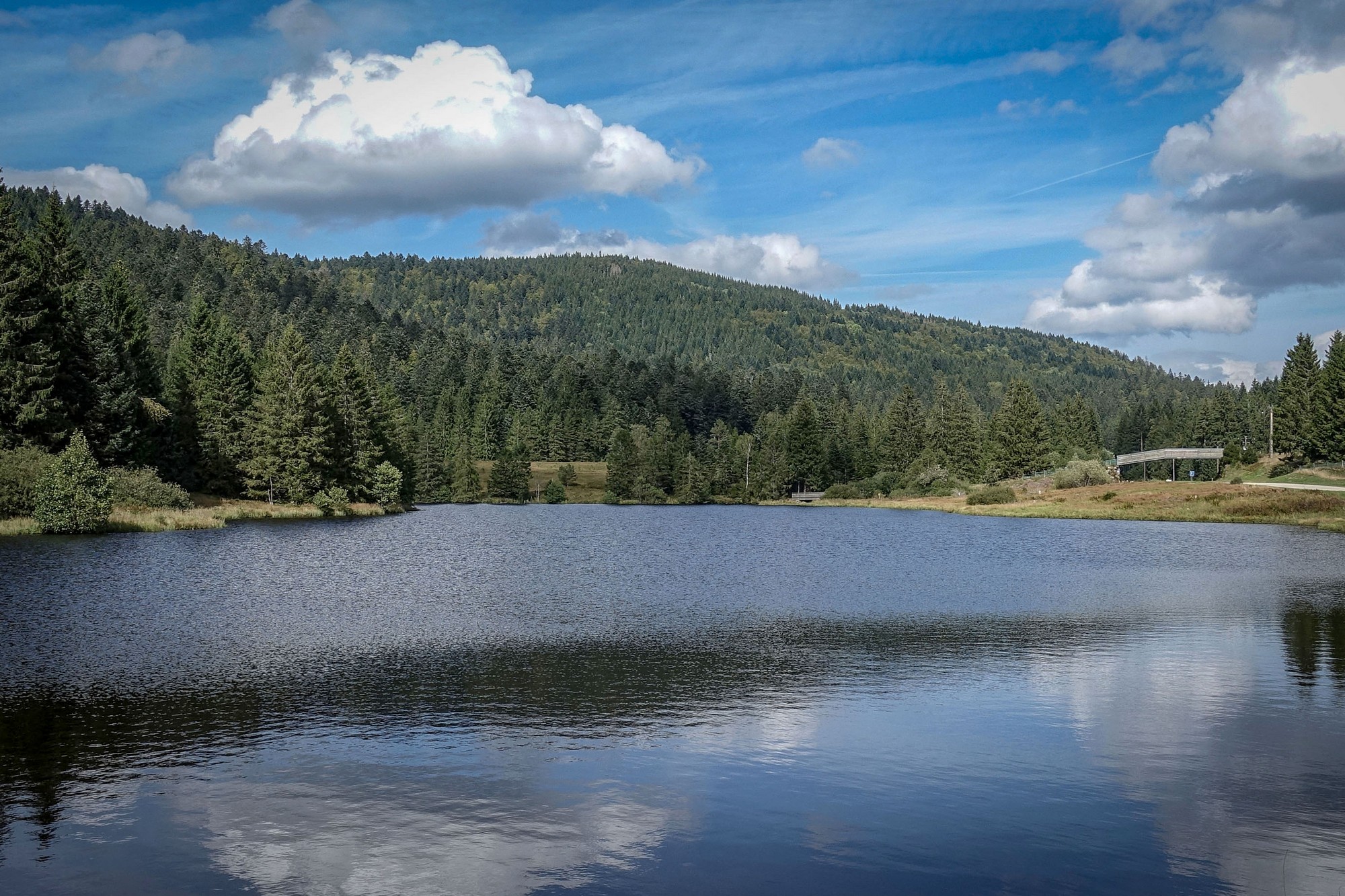
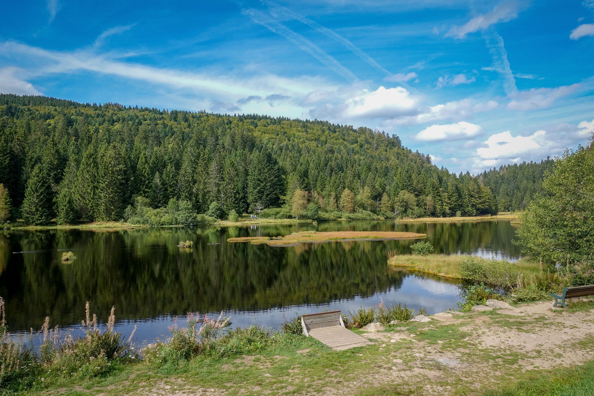
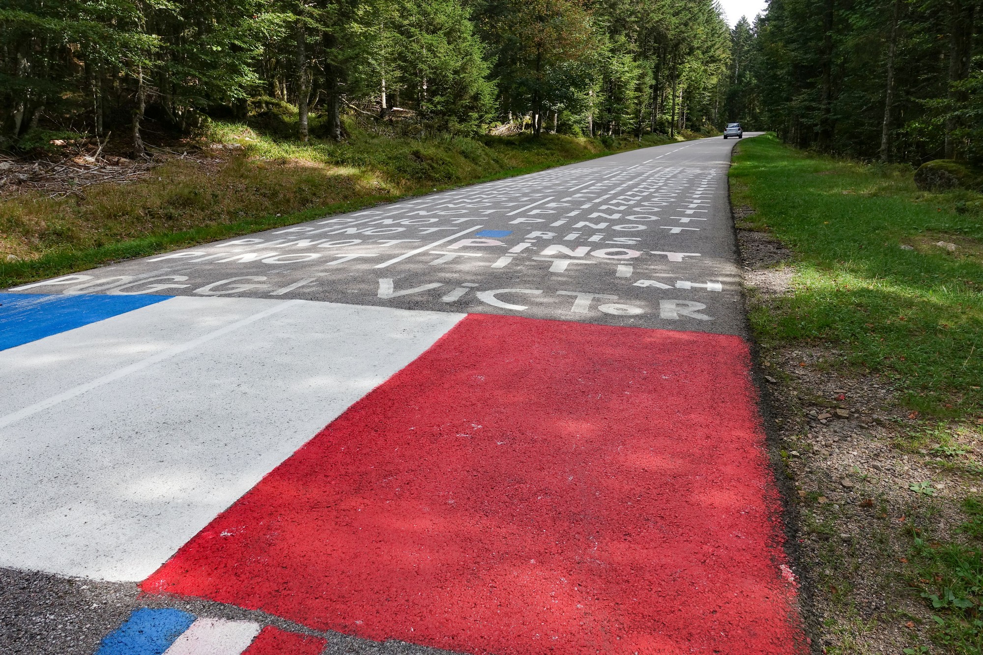
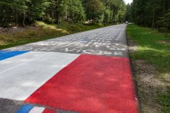
All the way from La Bresse the road had been following the course of a stream known as le Ruisseau de Chajoux, which was often in earshot. I was surprised to find myself once again on part of stage 20 of this year’s Tour de France, as evidenced by ‘PINOT’s painted all over the road again.
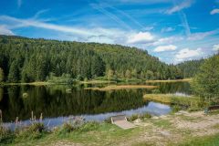
Eventually I reached the Col de la Grande Basse. There was no col sign there – just a sort of clearing in the forest. That was followed by a short descent down to the Col des Feignes sous Vologne where my hitherto peaceful ride was shattered by hundreds of motorbikes on the busy road I found myself on. That road continued to descend until I turned left and doubled back on myself, still descending, and went past a couple more lakes, to end up here at Lac de Longemer.
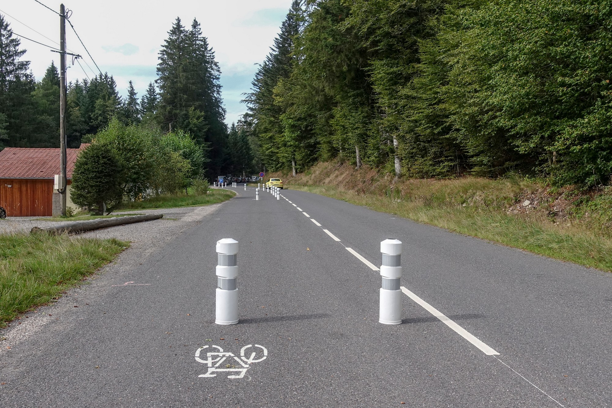
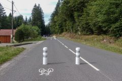
Coming round this lake the road has been divided in two, with cars on one side and bikes and pedestrians on the other, all the way around the lake. There’s a one-way system for cars. The road goes around the other side of the lake as well.
At the moment I’m sitting at this picnic table in the hazy sunshine watching the world go by. I’ve had my cheese sandwich and now it’s time to get going again.
Final report
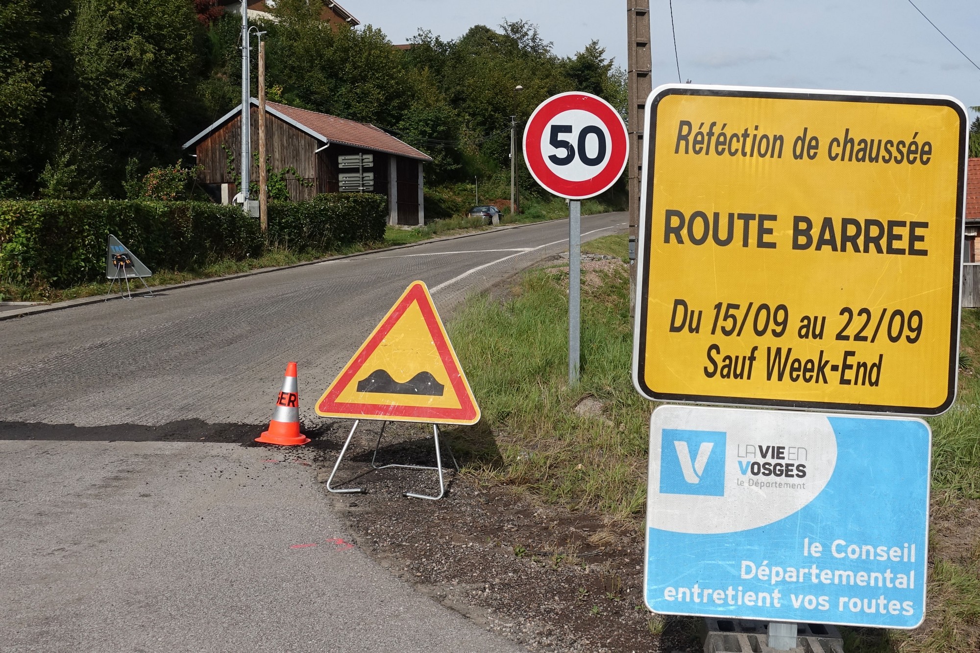
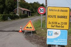
Five minutes after my lakeside food break I was faced with this:
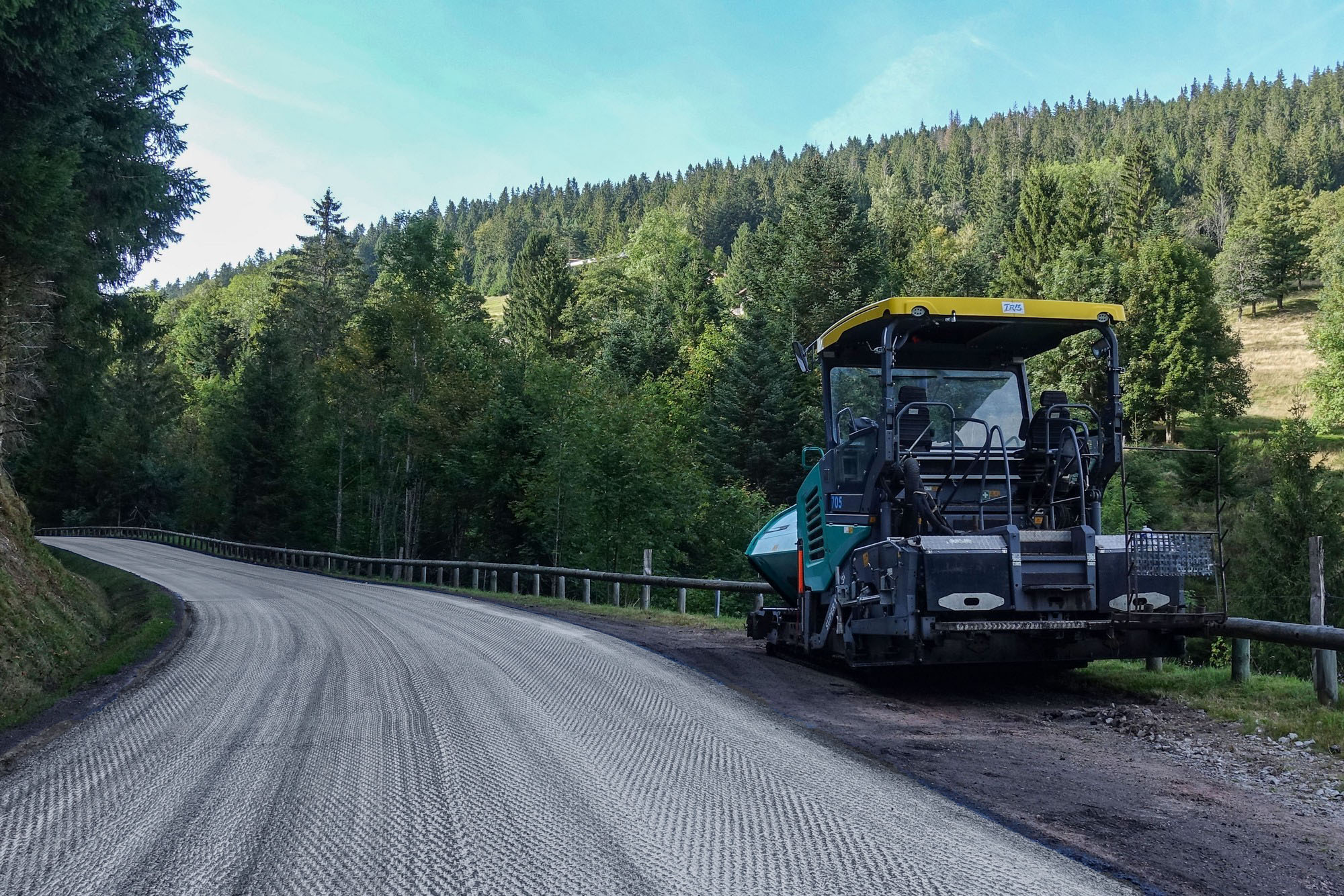
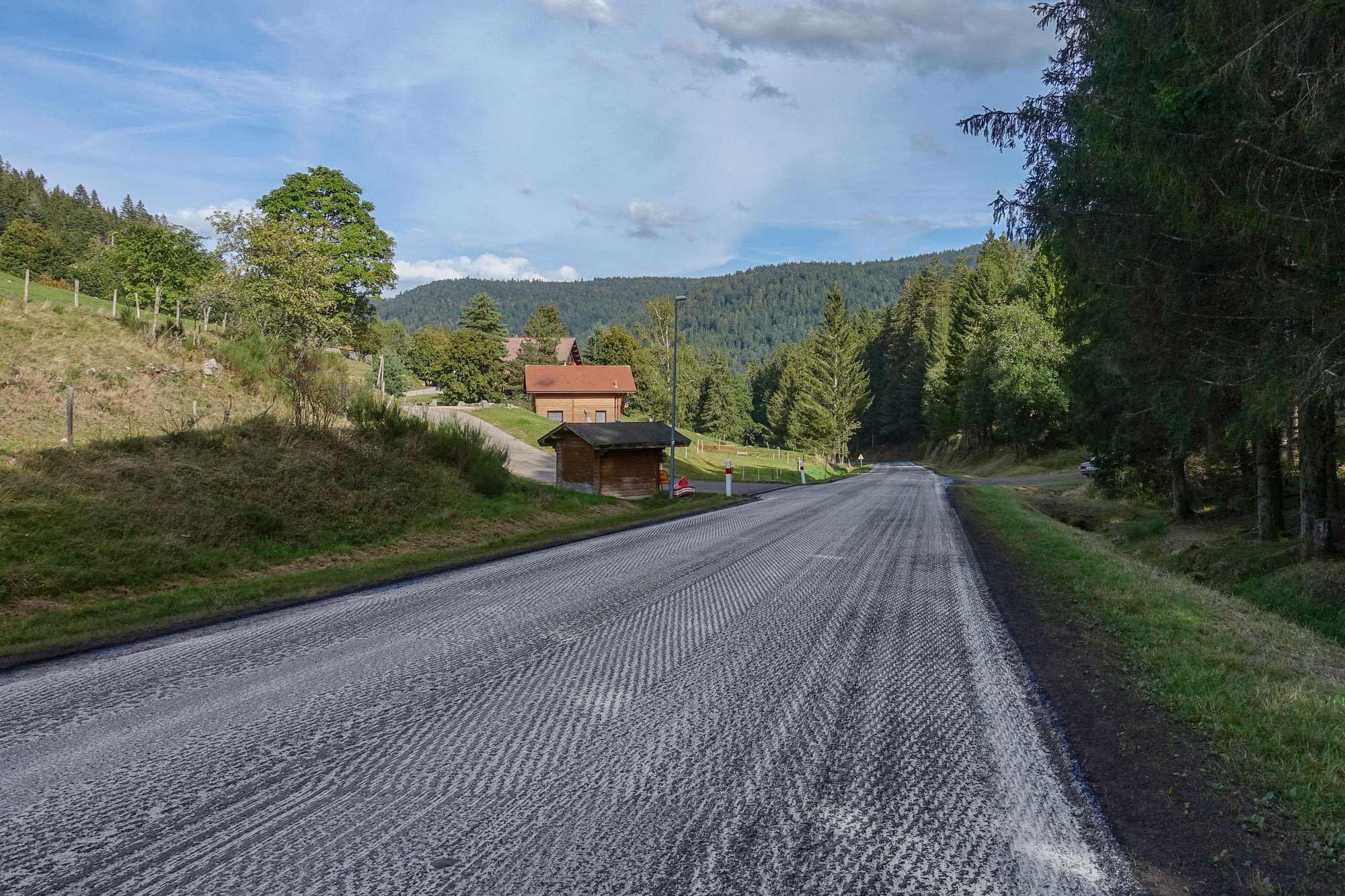
Noooo! This time the dates did apply to me, but then I saw that weekends were exluded. Phew! Another close call. They were re-surfacing the road. This was a proper resurfacing, not like the typical bodge job they do in the UK. About 100mm had been scraped off right across the width of the road over a distance of several miles. It was uneven but OK to ride on with my 35mm tyres. There was little in the way of traffic.
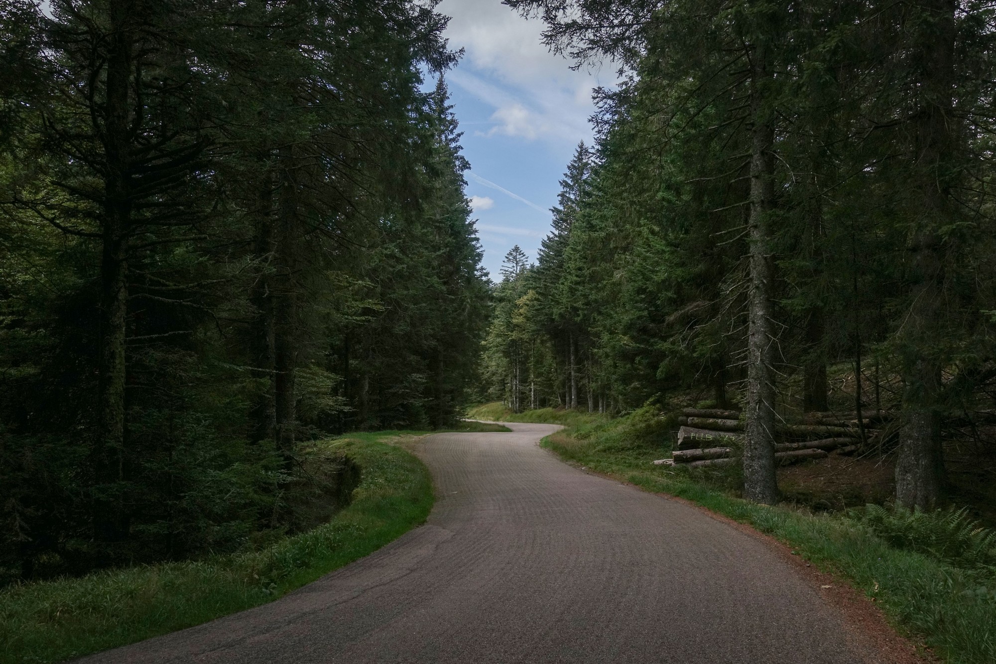
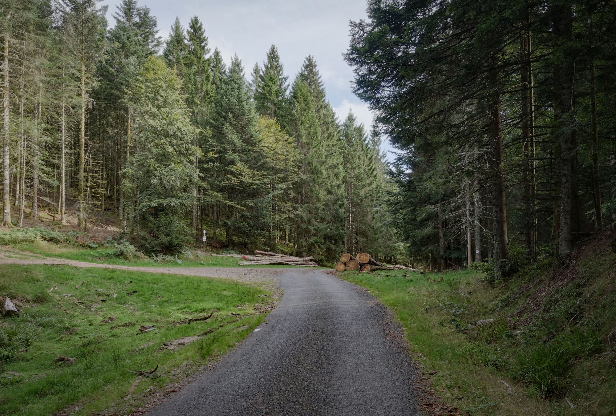
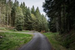
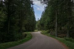
Further up there, my route ventured into the forest. I had designed the route to include a couple of off-road cols. I’ve never done that before but nowadays, since joining le Club de Cent Cols, I’m always looking for more cols to add to my list, wherever they may be!
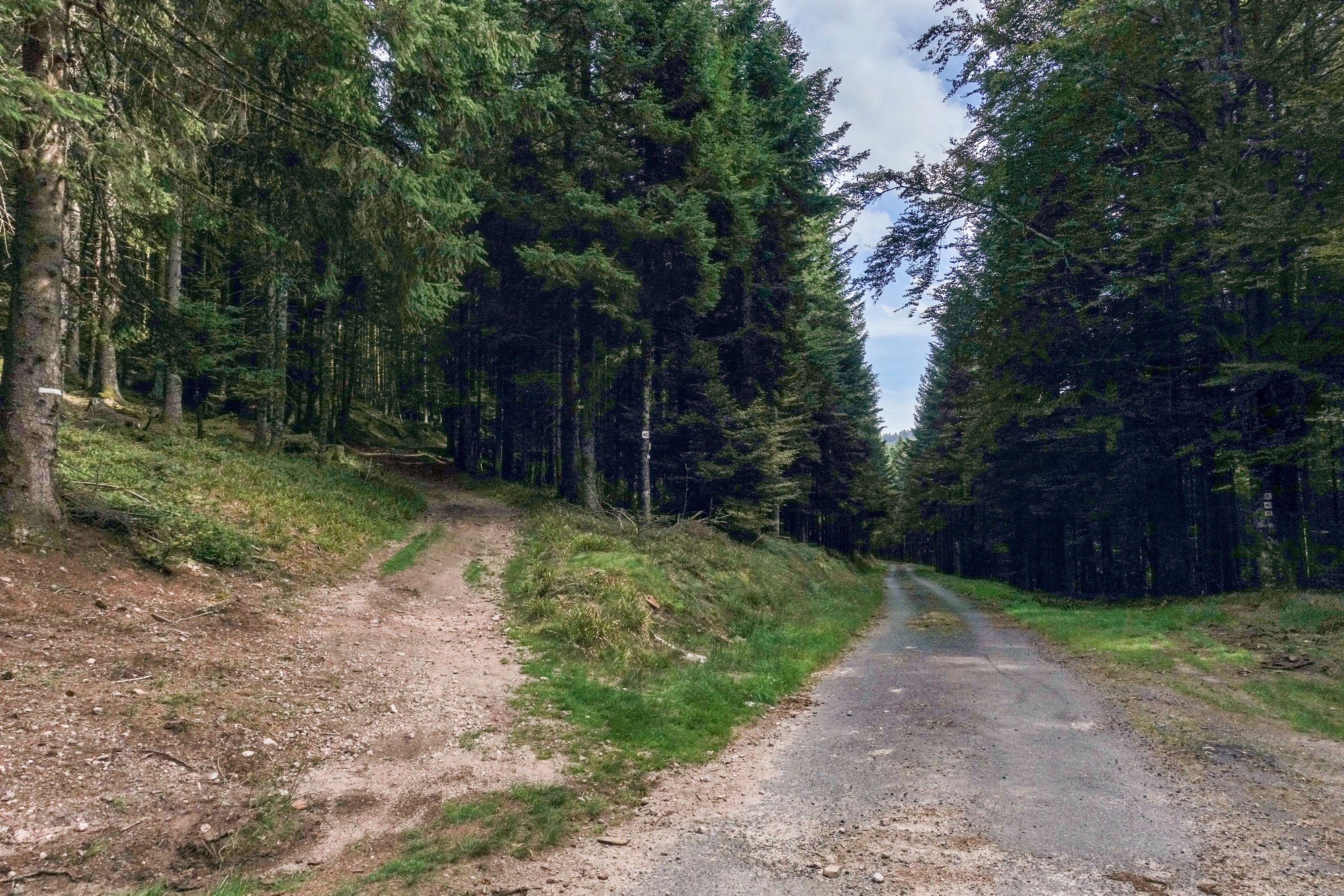
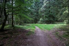
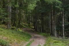
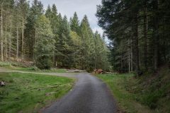
At first the forest road was quite well-made. Then it got trickier
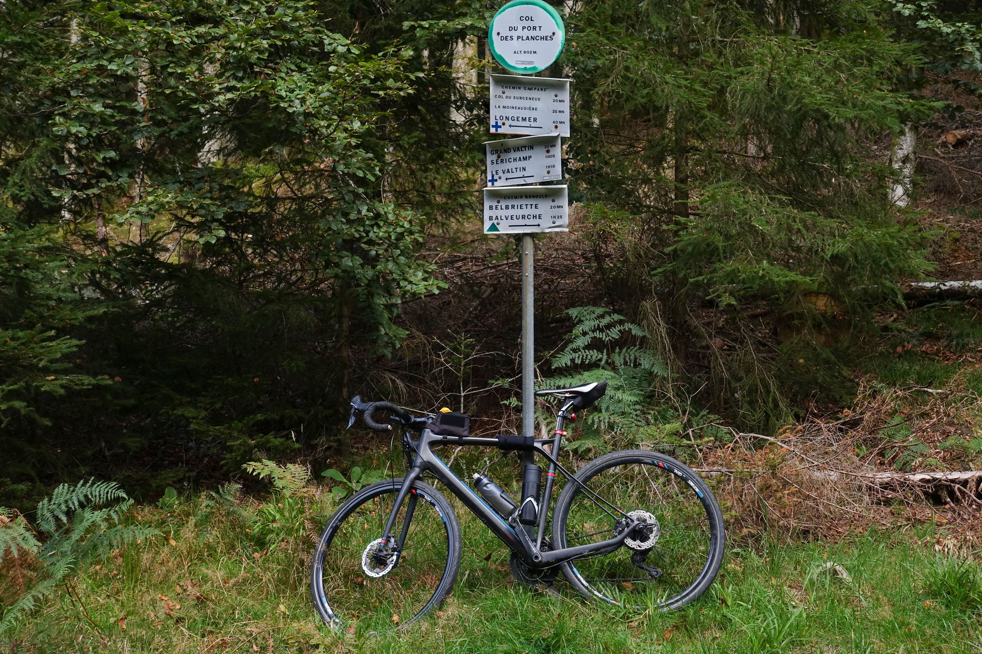
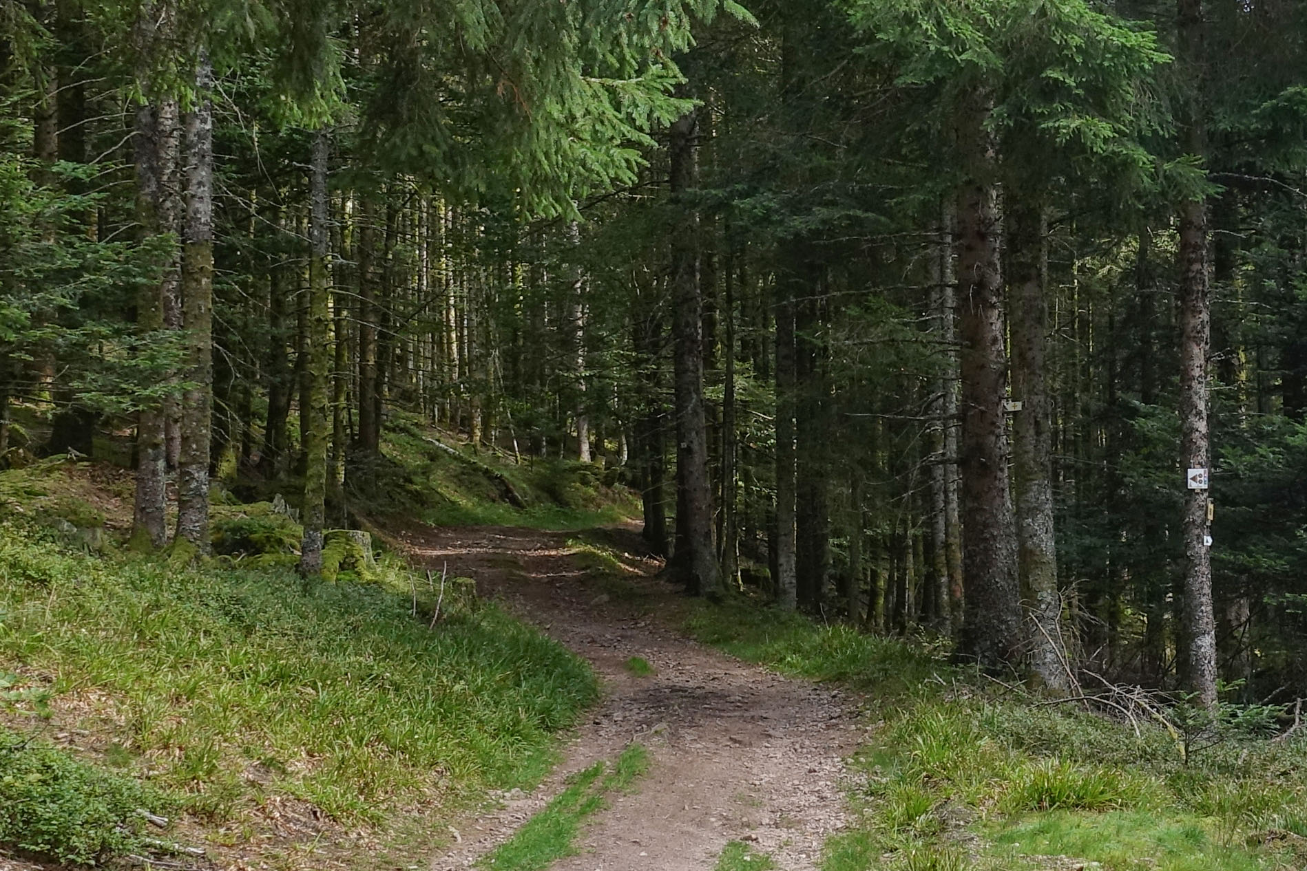
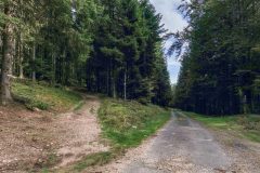
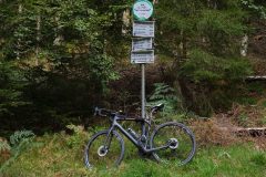
After the Col du Port des Planches I overshot my turn-off. As I was standing there looking at my Wahoo and getting a photo, a group of mountain bikers went by and took the ‘easy’ road to the right. I felt quite pleased with myself when I went up the rough track to the left.
The ground was rutted, with rocks and tree roots to contend with but I rather enjoyed weaving between and over the various obstacles. My 35mm tyres were doing a grand job.
I bagged one more col in those woods, le Col des Charbonniers, before returning to civilisation and proper roads. When I say ‘proper’ roads, in fact I was back on the stripped surface.
It had been so extremely peaceful and solitary in the forest – almost the complete opposite of the lakeside bustle just forty minutes beforehand.
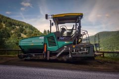
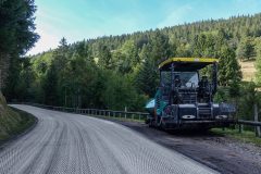
Eventually I met the machine which will be responsible resurfacing this groovy road, parked up for the weekend, resting before its hard work ahead.
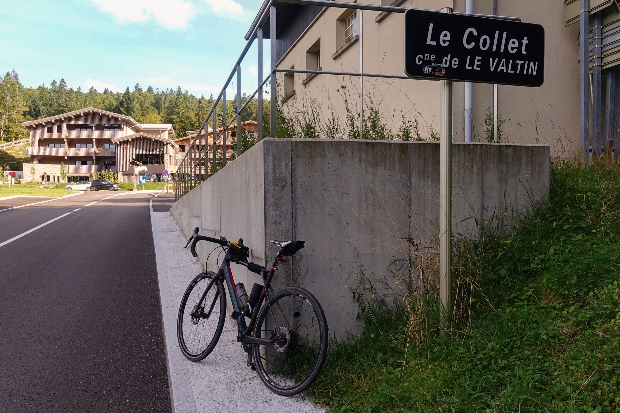
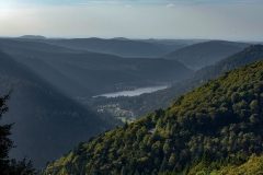
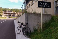
After Le Valtin there was a three-mile stretch of wide (properly surfaced) road climbing at 6% up the side of the valley of the Meurthe river, thankfully in the shade. That climb felt like it went on for ages but took only 33 minutes to climb the 1000 ft to Le Collet.
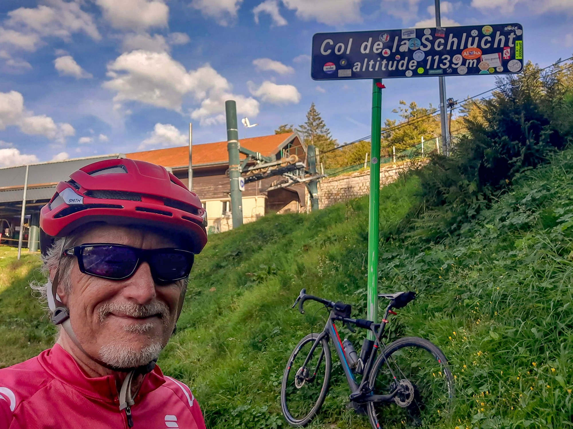
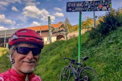
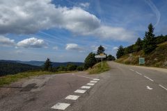
Then I was back on busier roads again to the nearby Col de la Schlucht.
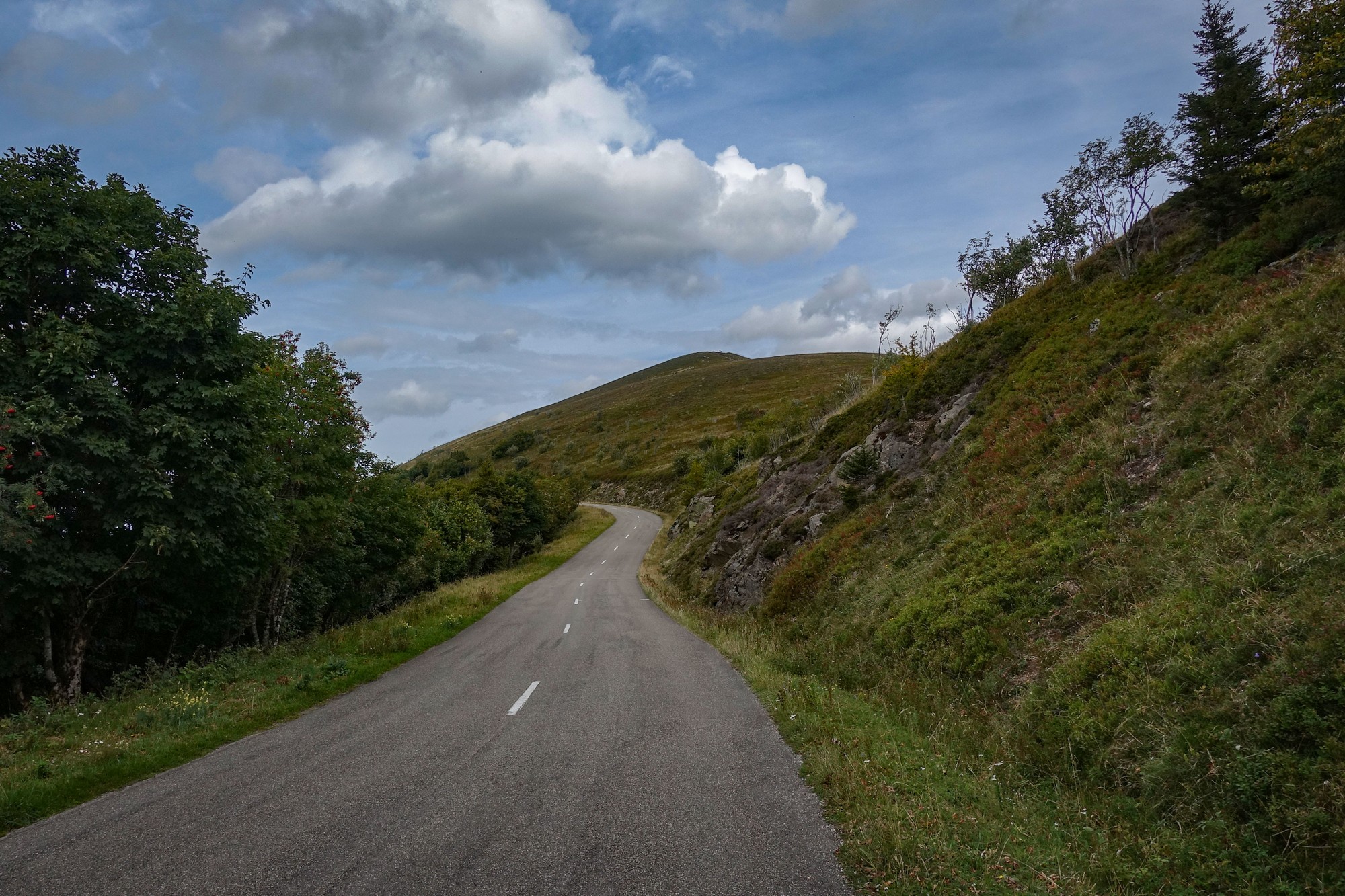
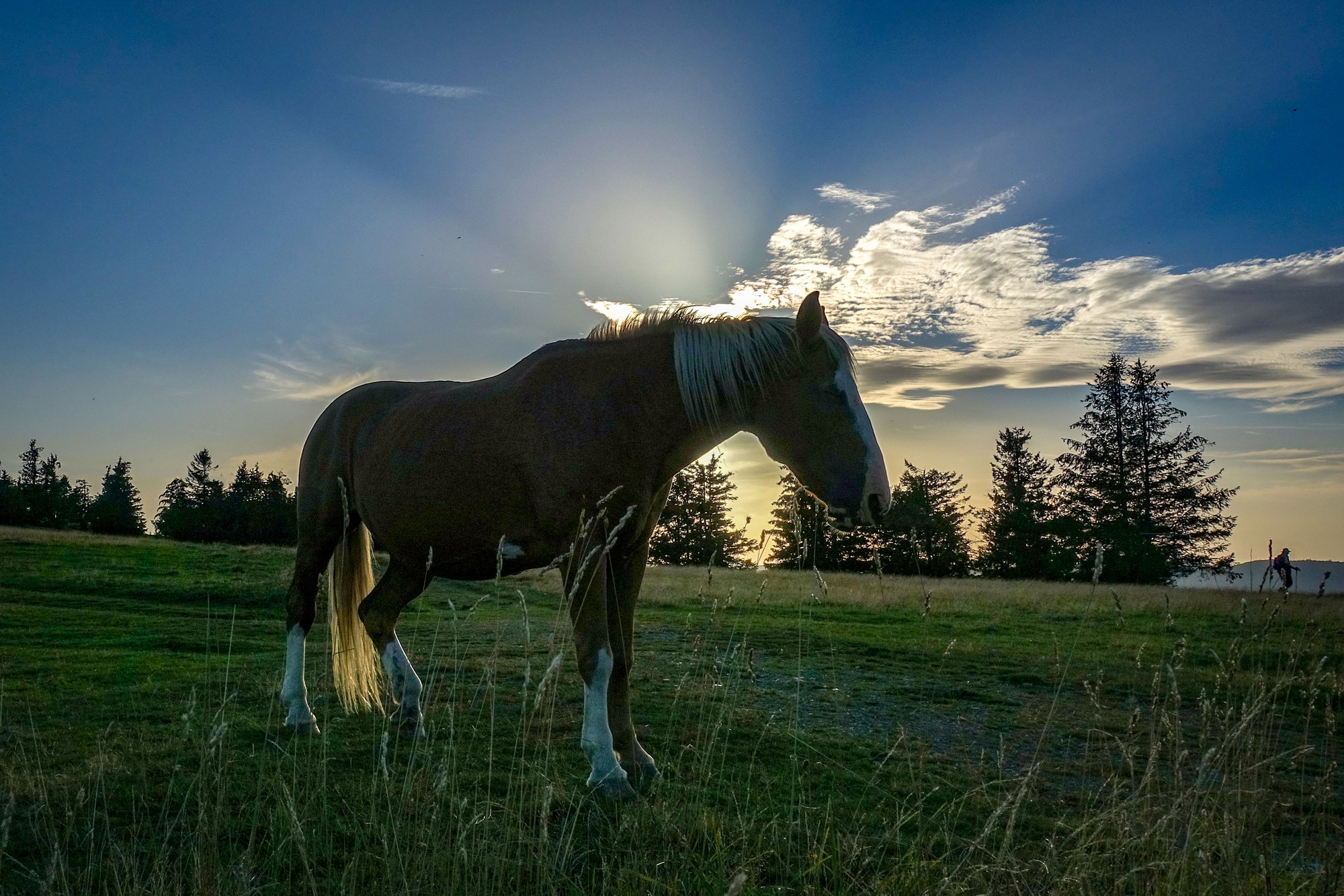
… after which I rejoined the Route des Crêtes which took me all the way back to Le Markstein. With the sun low over the hills to my right, it was a wonderful thirteen miles of cycling along that ridge road.
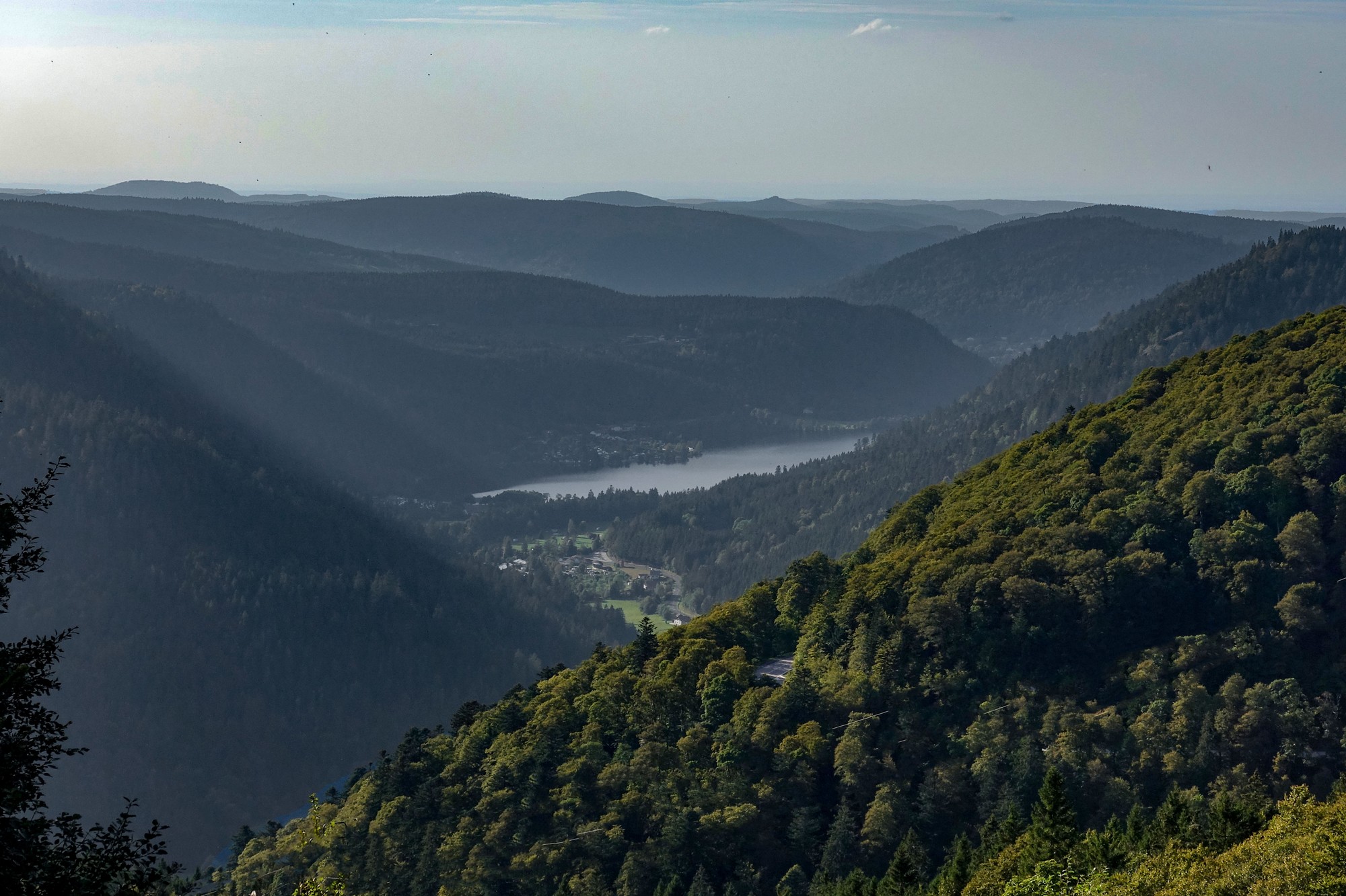
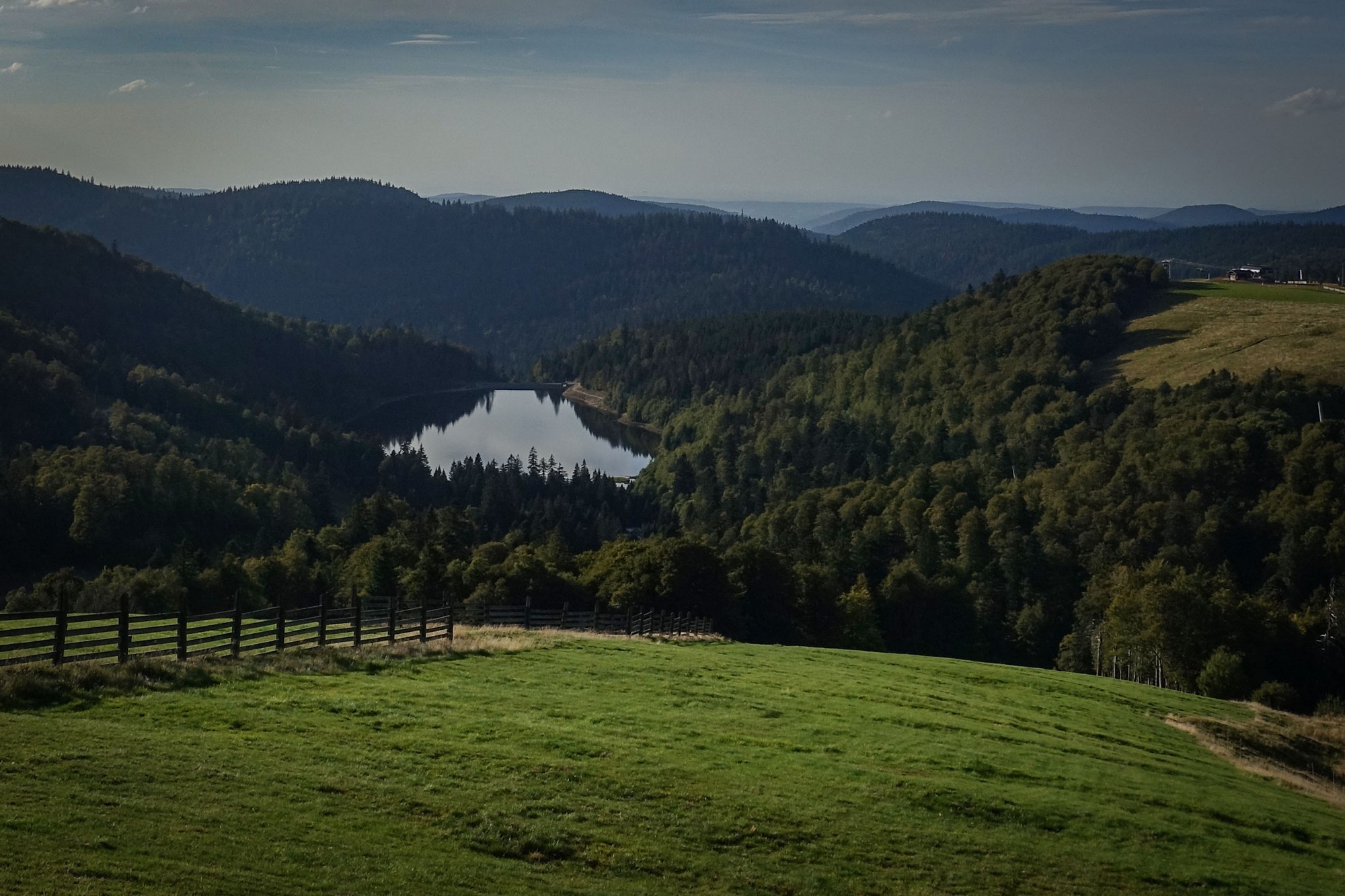
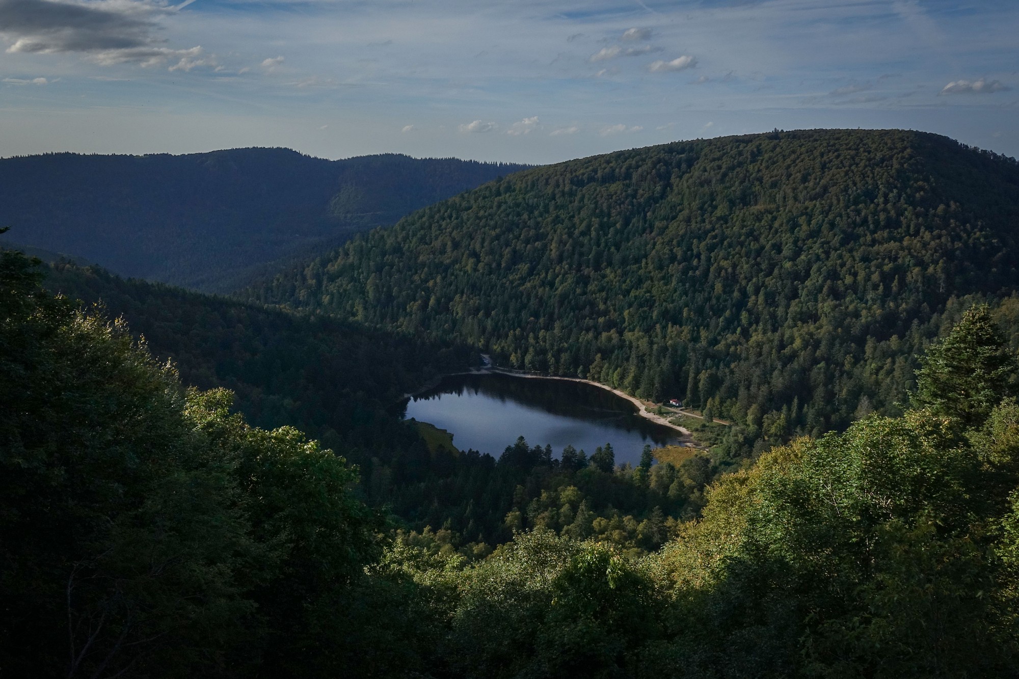
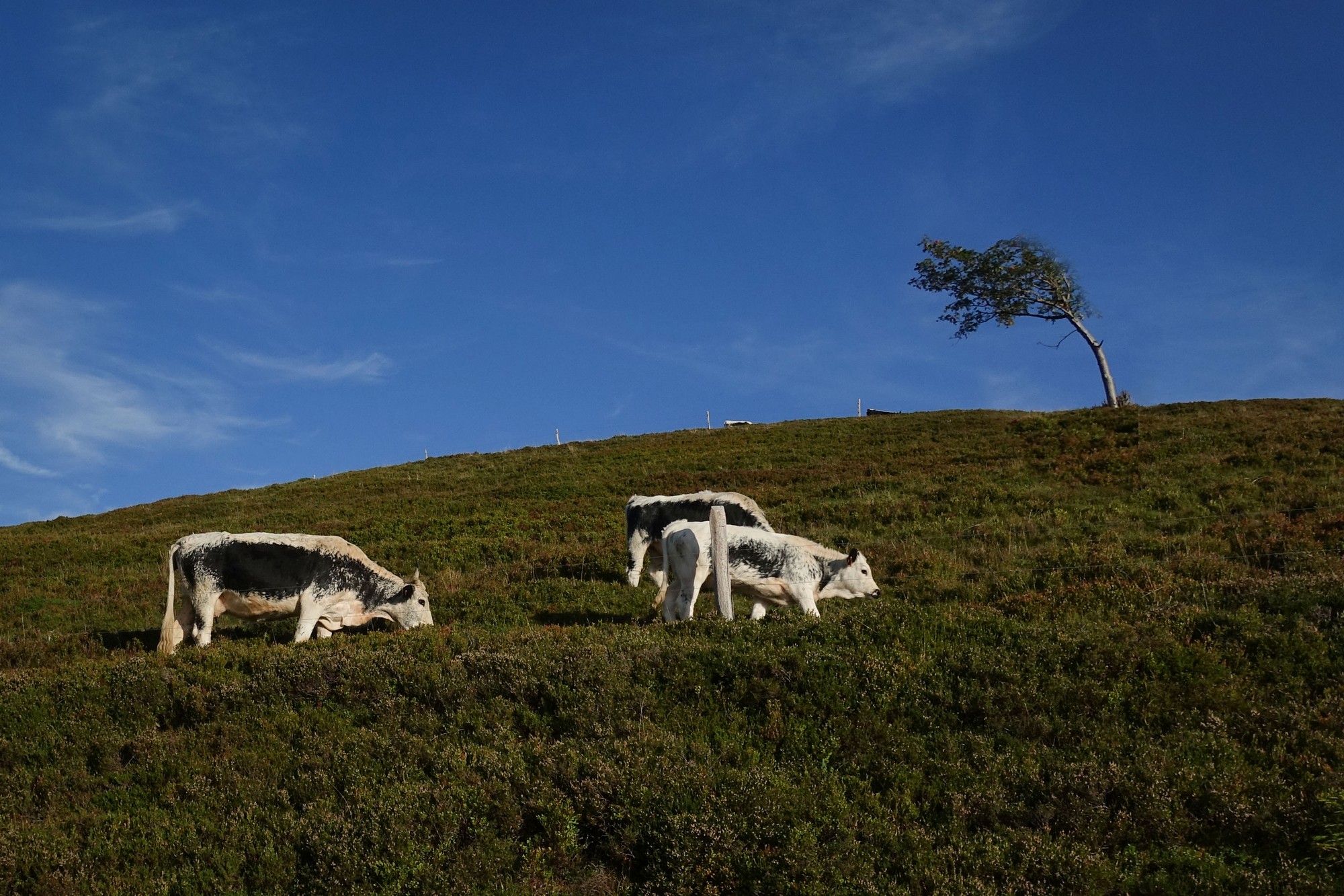
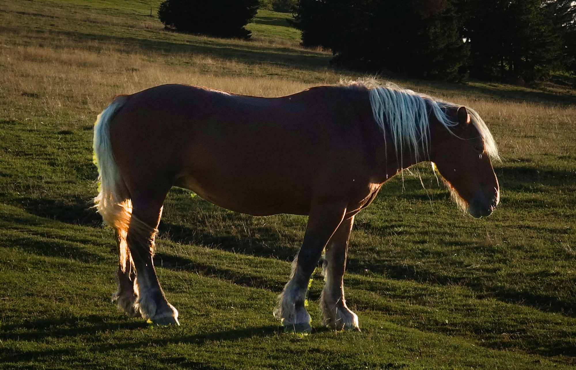
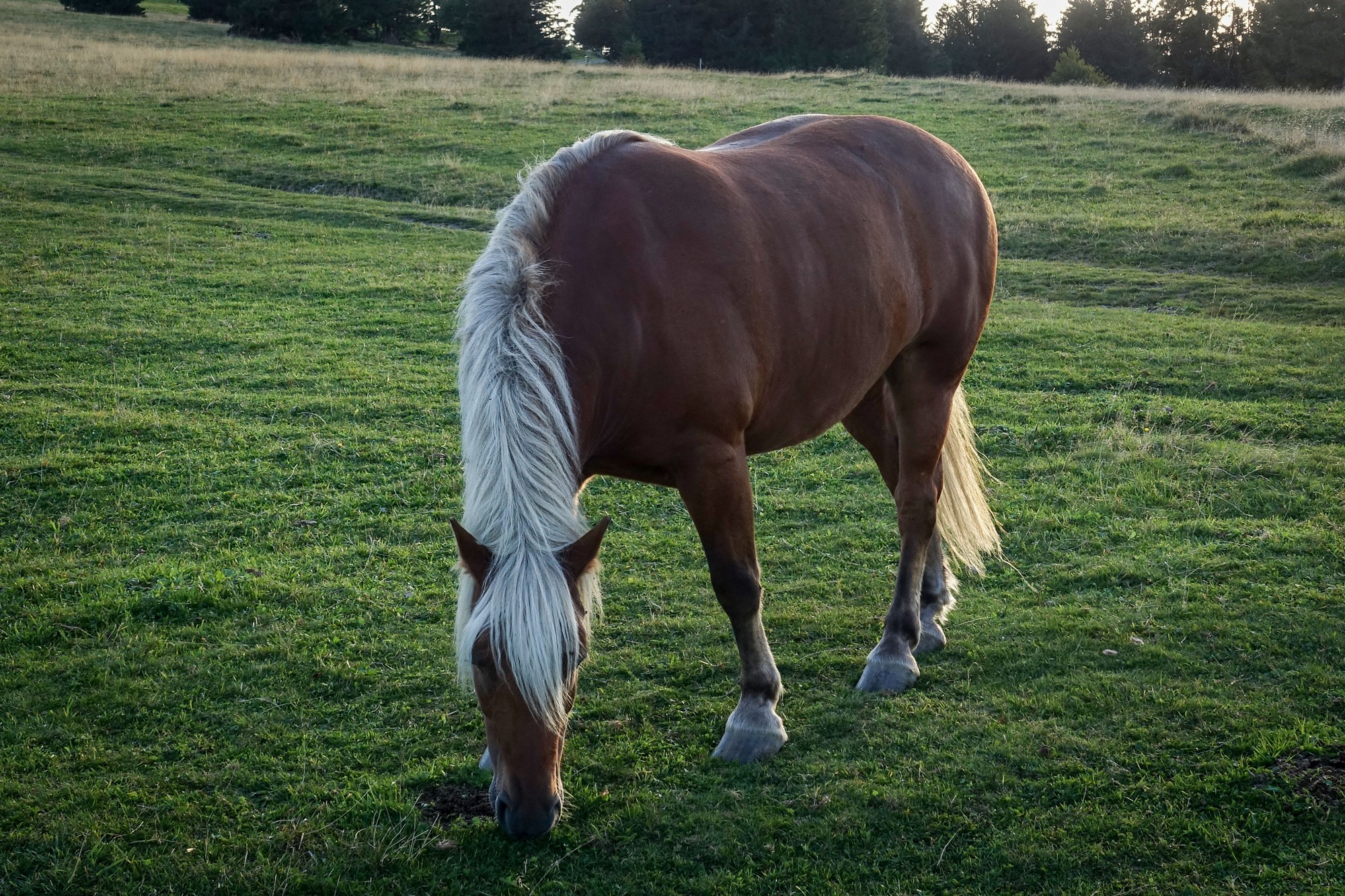
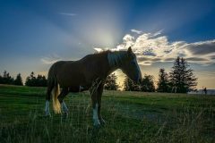
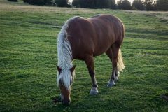
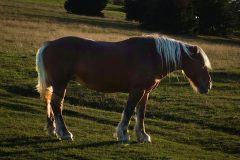
Some beautiful horses standing contre-jour against the ‘golden hour’ sun proved too tempting to ignore.
What a brilliant end to the ride. It had been a day of lakes and cols, with a peaceful off-road excursion into the forest. I’m beginning to love the Vosges more and more.
Hopefully I’ll be back here again soon.
Further reading
- Route des Crêtes
- Tour de France 2023 Stage 20 Results
- Lac de Longemer
- Assessment of the water resources of the Vosges basement
- VÖGELE SUPER 1800-3i (the most powerful tracked paver in its class)
(this blog isn’t all about cycling you know!)
Gallery
Click to enlarge / see slideshow





Another nice ride Vince, thanks for taking the time to share it with us. It looks very tranquil.
Thanks for your comment Martin