Distance: 58.4 miles. Elevation: 7143 ft.
Since my ride to Lac de Roselend from Beaufort, the day before yesterday, I’ve relocated to Bourg-Saint-Maurice, eleven miles south-east of there. I came here to complete some unfinished business, going by the name of Col de l’Iseran, the highest paved pass in the Alps, at 2,770 metres (given that Cime de la Bonette is not strictly a pass). At almost 30 miles, this climb is also one of the longest.
My previous stab at Col de l’Iseran, sixteen months ago in May of last year, was never really likely to succeed given that the col hadn’t re-opened after the Winter. That climb came to an end due to inclement weather, which contributed to a horrible descent – definitely up there in my Top Five Most Unpleasant Descents. Other contenders for that title would include Col du Perty earlier this year.
Back then, at the end of the blog post, I summed-up that disagreeable experience with the following promise to myself: “…as far as I’m concerned I have done Bourg-Saint-Maurice to Val d’Isere and I never want to face those tunnels and lorries and that road surface again, so to complete this climb another day, I’ll be starting from Pont Saint-Charles and just do it from there.”
Well you know how it goes. Time dulls the memory and the pain. So with a determination to do the proper, complete climb, not some half-arsed version of it, and with the weather being ideal, I accepted the mission to conquer this beast once-and-for-all, starting again from Bourg-Saint-Maurice.
After my customary pre-ride banana, I set off at 11:30 in short sleeves, with two bidons and a back-sack with rain jacket, sandwich, etc, and wore a cap under my helmet. Shortly into the ride I found it somewhat amusing when my Wahoo bike computer announced that I’d just started a climb – distance to the summit 24.2 miles! Ha! You don’t often see that.
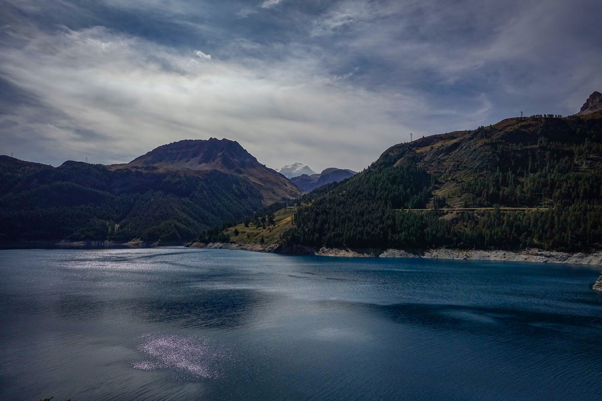
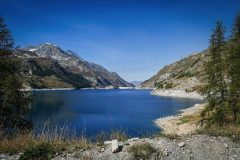
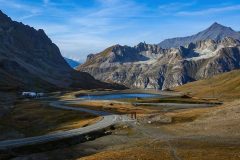
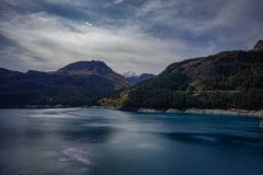
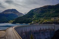
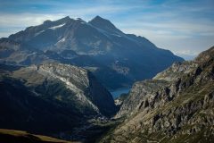
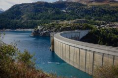
I rode solid for nearly two hours. I was thinking it’s going to be a very short and quick blog post because all the photos have been taken previously. I had intended to ride all the way to Val-d’Isère before stopping for some food. But inevitably I was seduced by the sight of the lake. And I’m a sucker for a good dam, so I stopped and got some photos there.
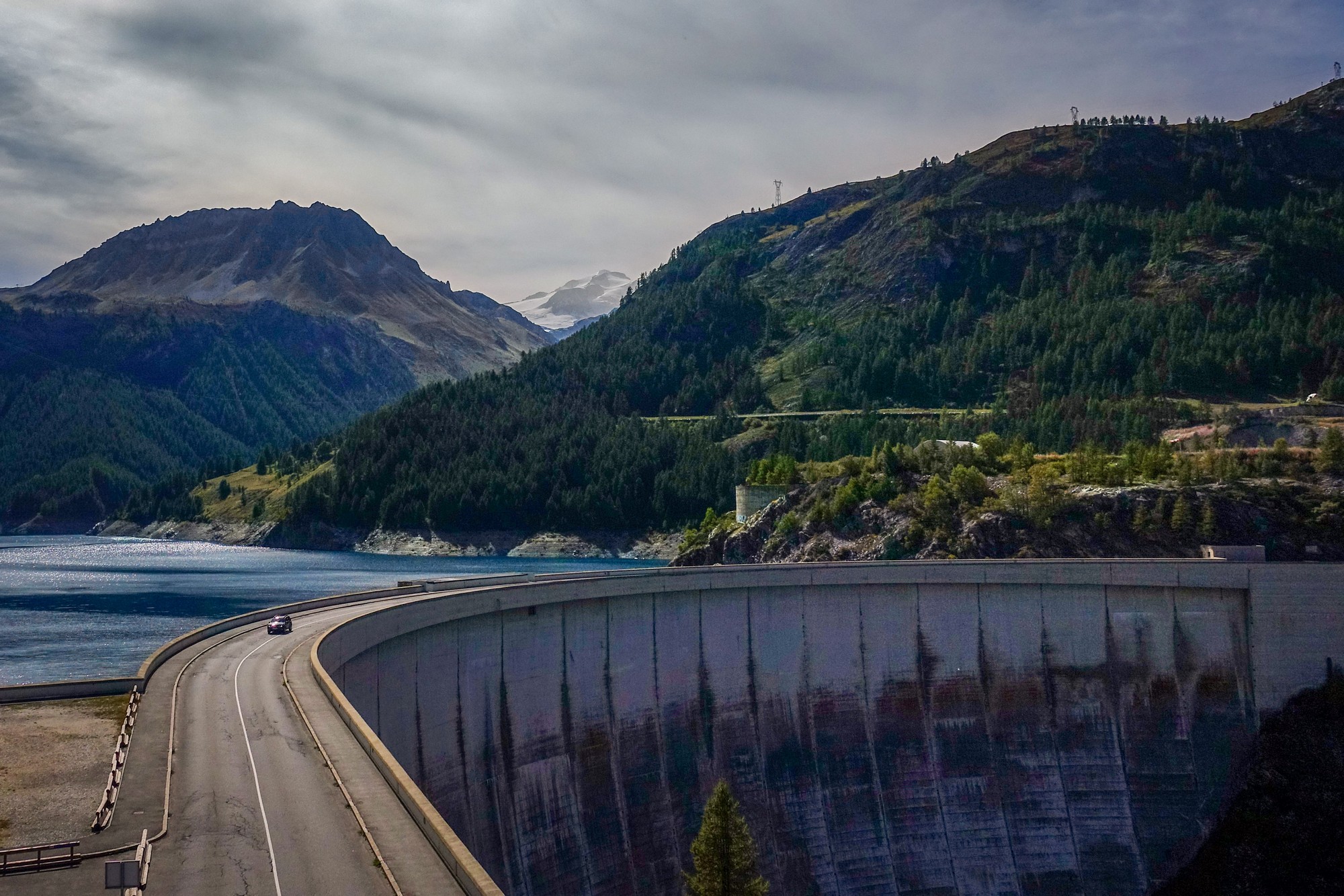
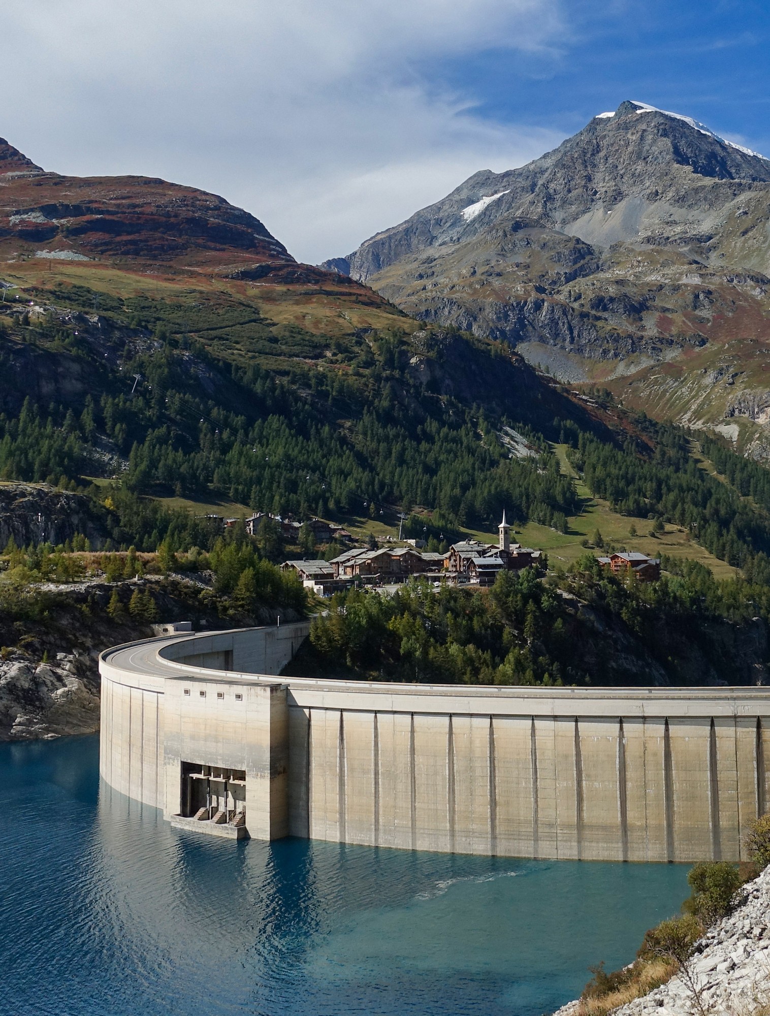
It was harder than I had remembered. There was a tough bit as the climb starts on the lacets before Sainte-Foy-Tarentaise, and another steep bit before the lake. Throughout the climb I kept glancing at the road surface on the other side of the road to see if it was in any better shape (for the descent) than it had been last time, from when I remember quite a few nasty bits.
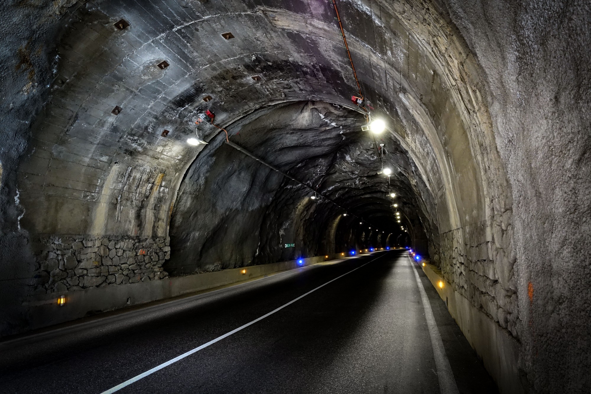
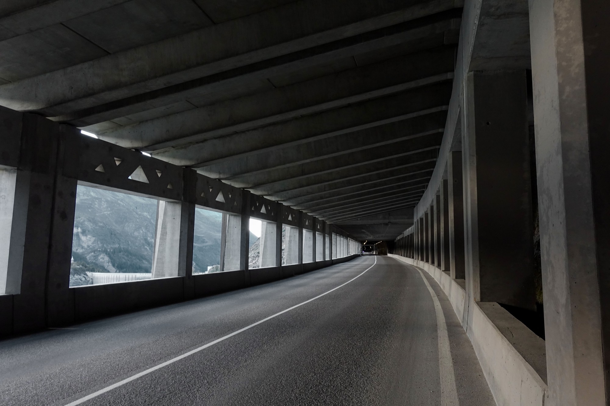
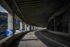
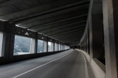
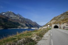
There was less traffic after the Tignes turn-off (over the wall of the dam) which was good because just beyond that comes the series of galleries and tunnels for over half a mile – it feels much longer!
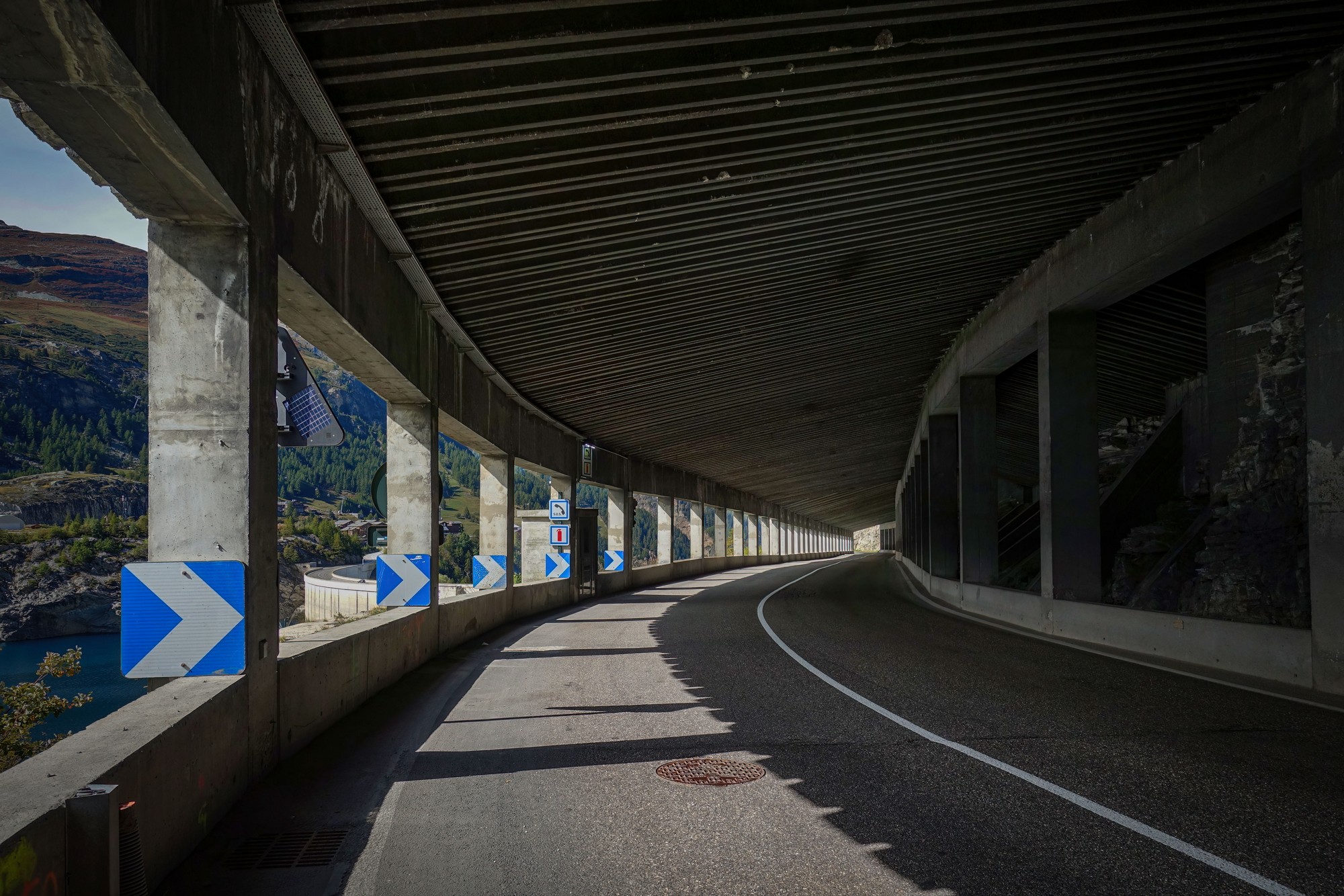
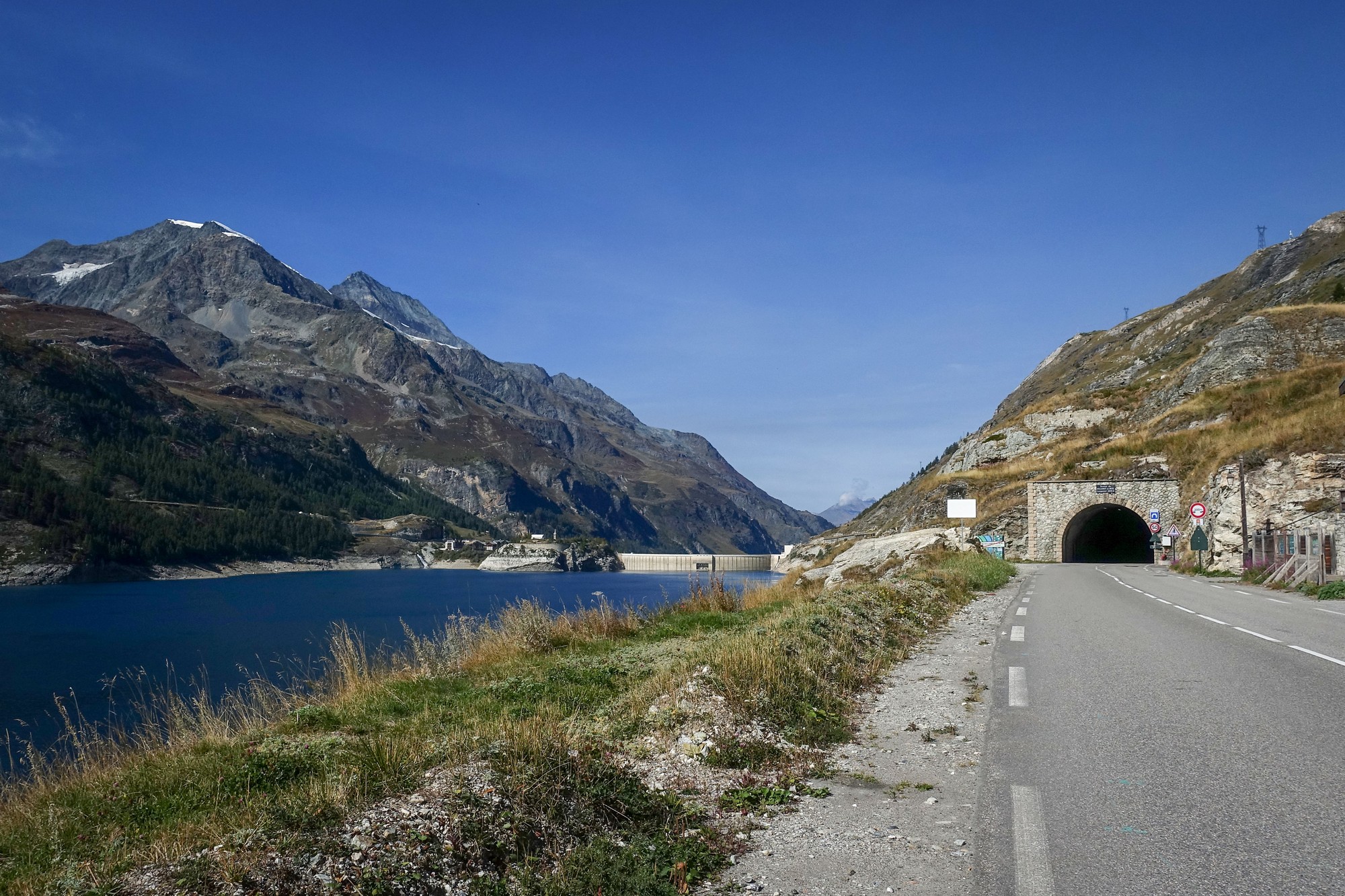
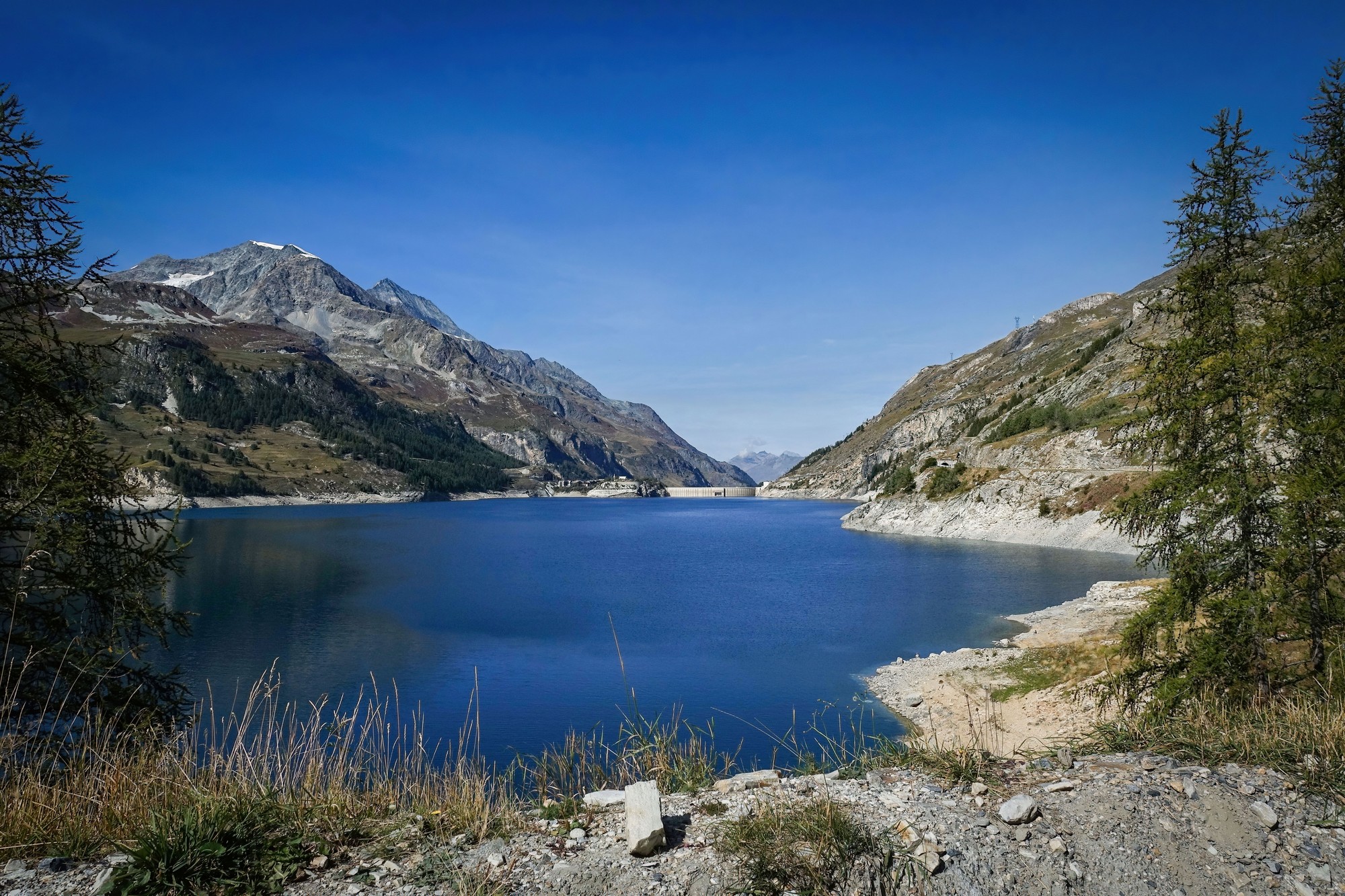
There’s another half-a-mile’s worth of even narrower tunnel further on before coming into Val-d’Isère, where I was looking for the bus stop I stopped at last time to eat my sandwich. I couldn’t see it so I settled for a different stone bench.
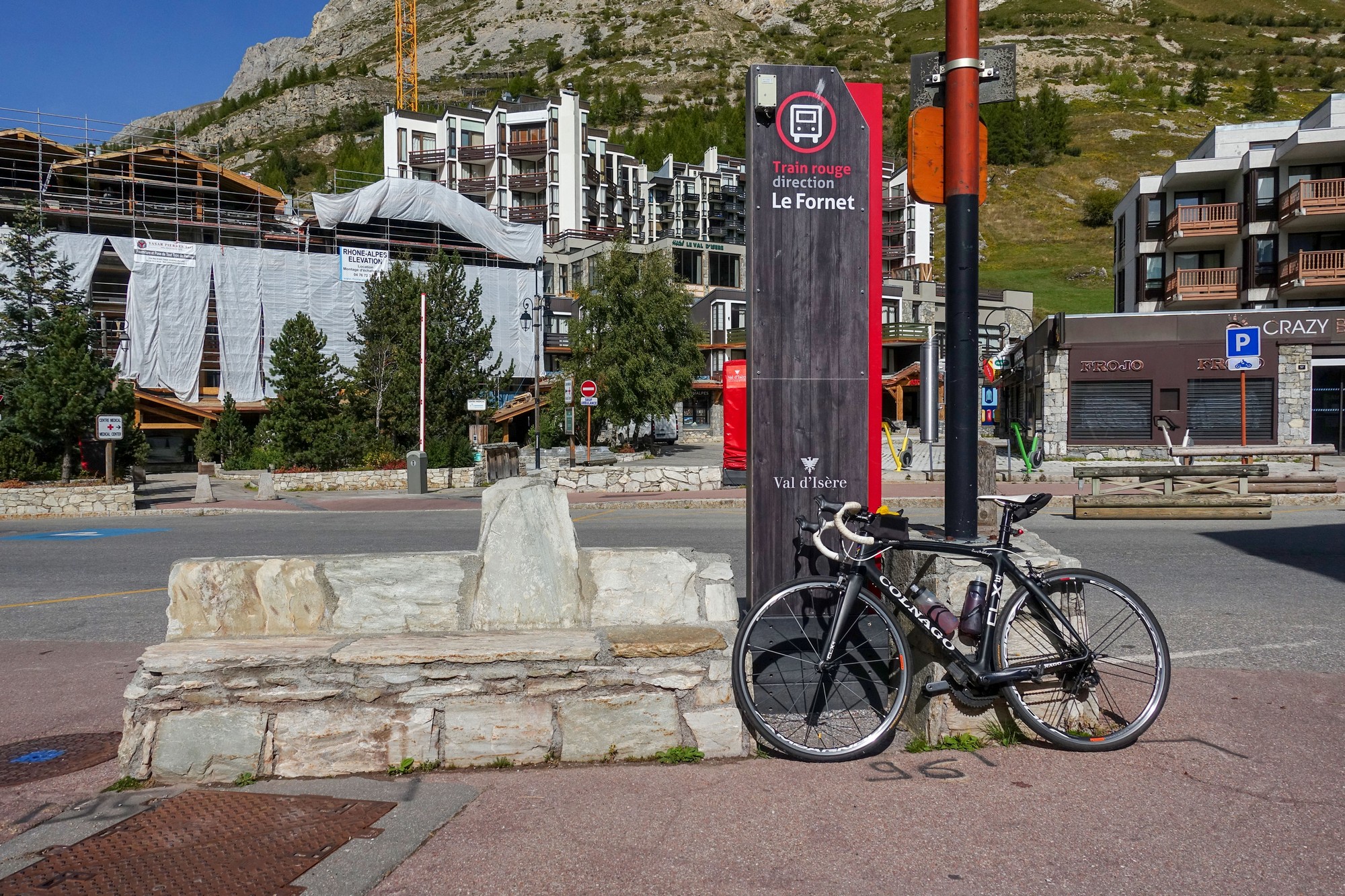
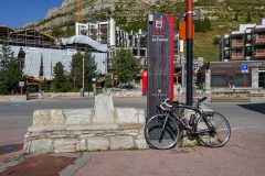
Val-d’Isère looked as soul-less as it had last time. Being a ski town it’s largely deserted at this time of year. I took a quick ten minute break there to eat half my HDM sandwich and a banana. By that point I was two and a half hours into the journey, having cycled 19 miles and climbed 3,700 ft. I still had 3,000 ft of climbing to do, though there were now less than ten miles to the top.
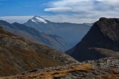
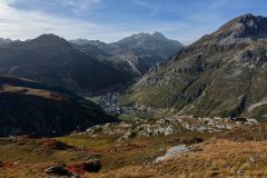
There’s another small ski village, Le Fornet, about a mile outside Val-d’Isère. Beyond that point it’s all beautiful, uncluttered mountain scenery.
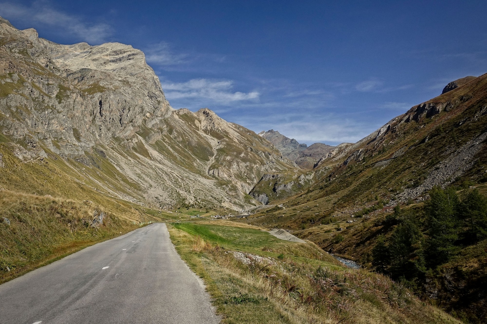
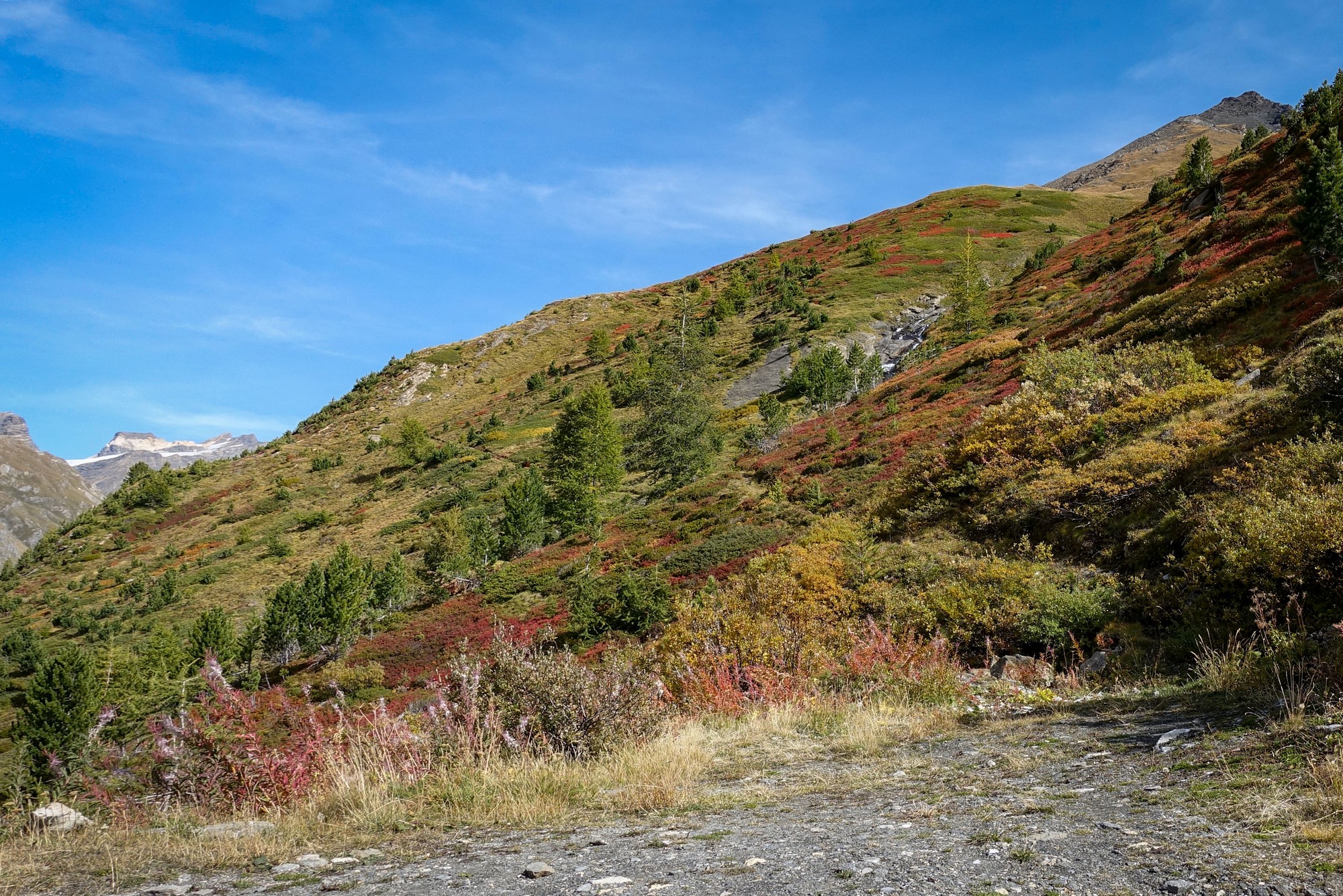
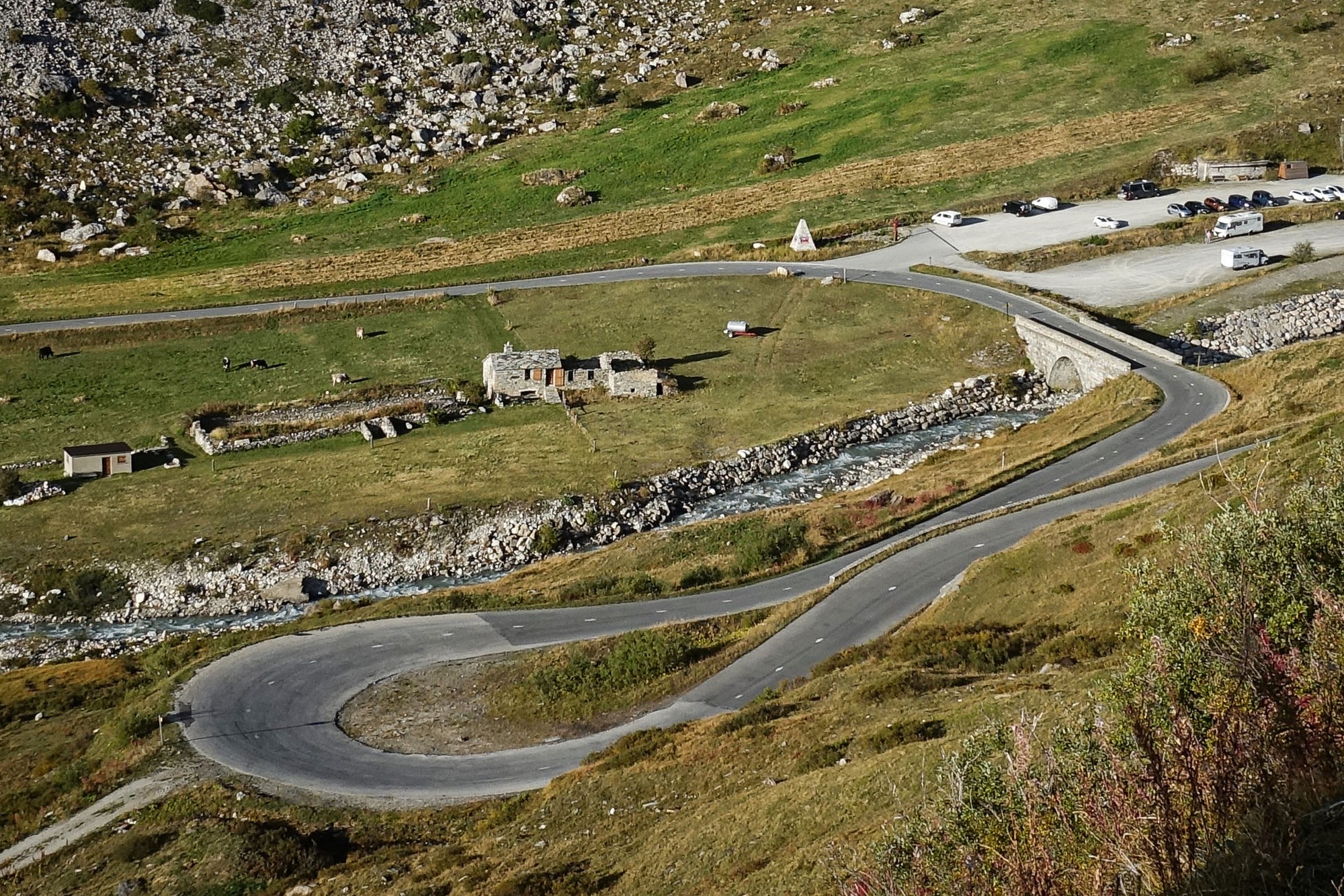
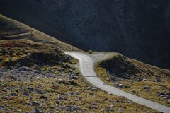
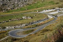
From Bourg to Pont Saint-Charles the road follows the Isère river (which also flows through lac de Chevril). After the bridge the road diverts away from the river and, after a couple of lacets, turns 180° back on itself and climbs the side of the mountain over a mile-long straight section, Val-d’Isère often visible down to the right, ahead.
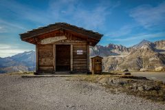
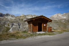
The main thing on my mind now was wondering when I would get to the point where I had aborted my previous ride here. I recognised a small hut I had paused at last time.
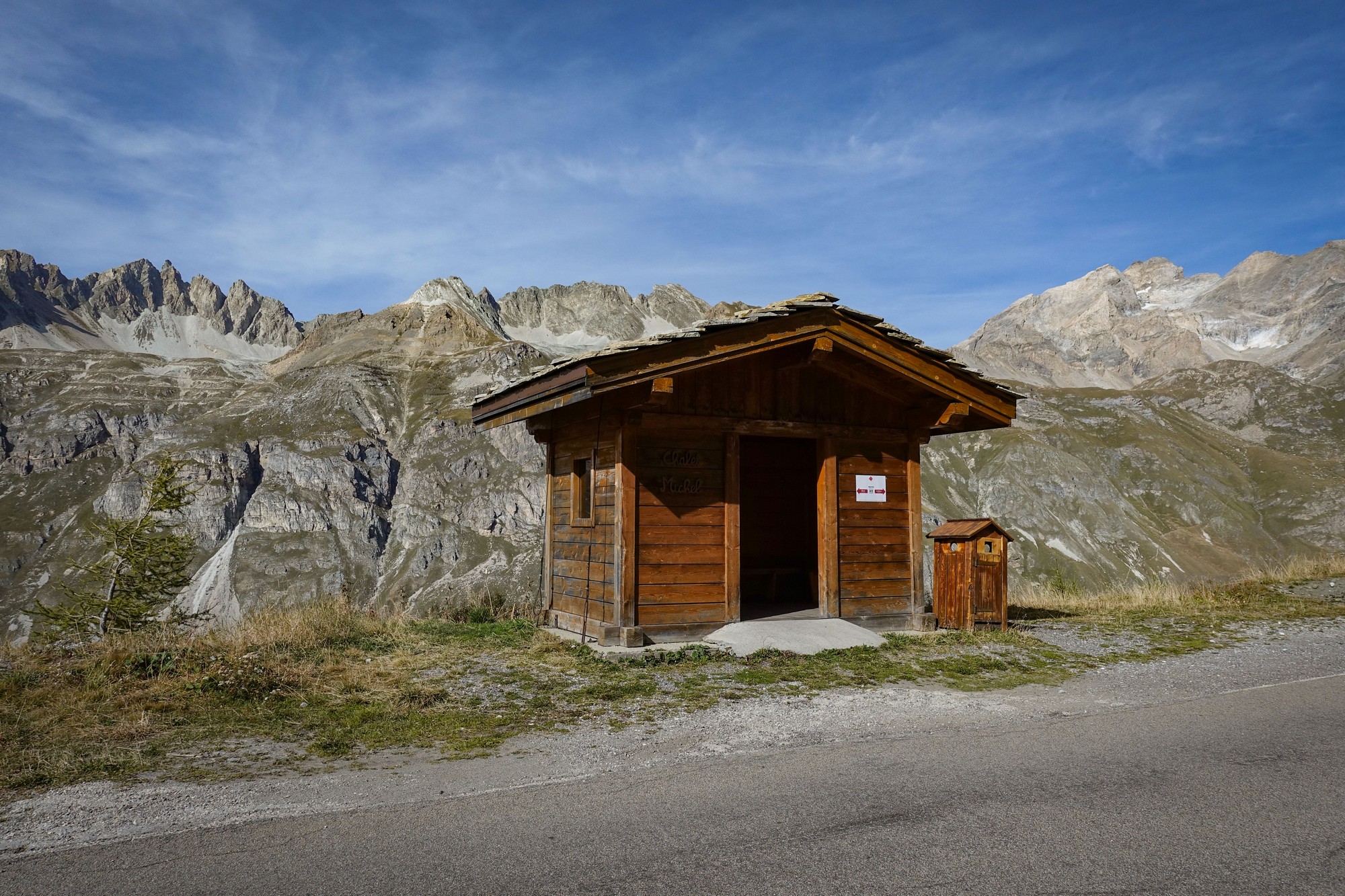
Exactly one mile on from Chalet Michel, I recognised the loop in the road that was the point at which I had turned around last time due to the rain. I was impressed at how far I had managed to go before. It had taken longer than I had expected to reach that point today. So now I was heading into new territory for me, although of course it had all looked different this time because of the lack of snow. I had an energy gel at this point.
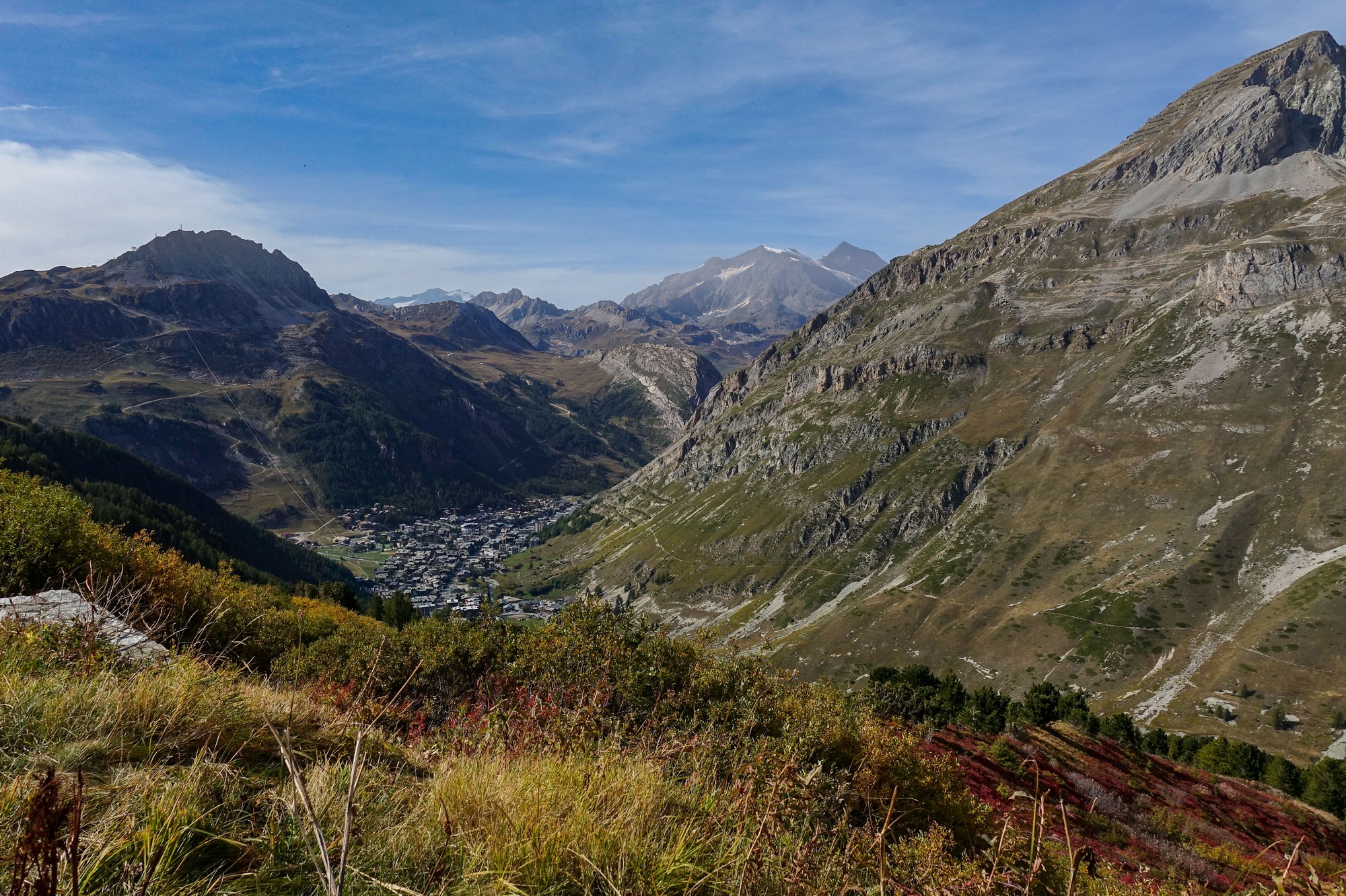
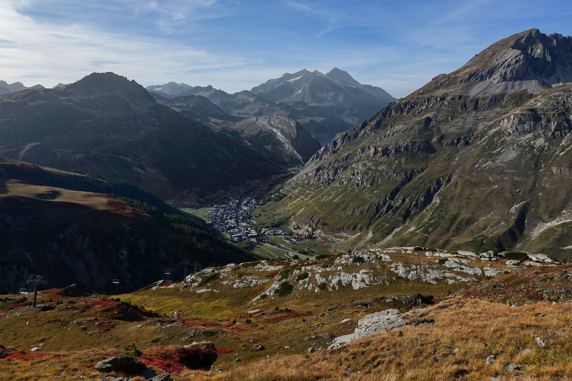
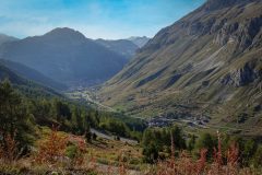
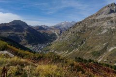
There were still views down to an ever-diminishing Val-d’Isère, up to the point where I rode past another small hut, Chalet des Autres, after which the road turns south east, heading away from the valley.
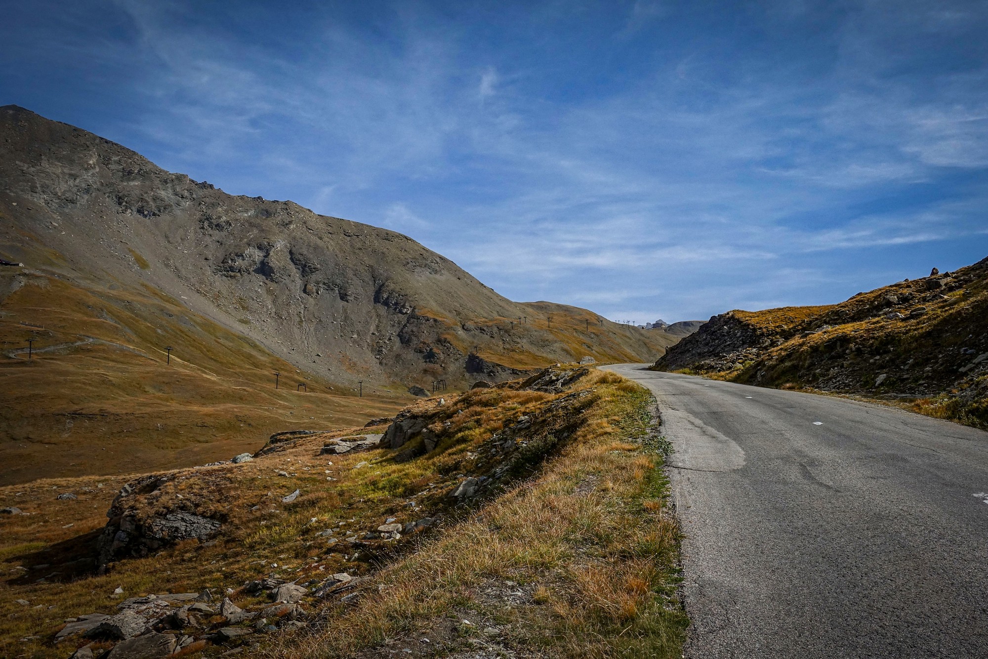
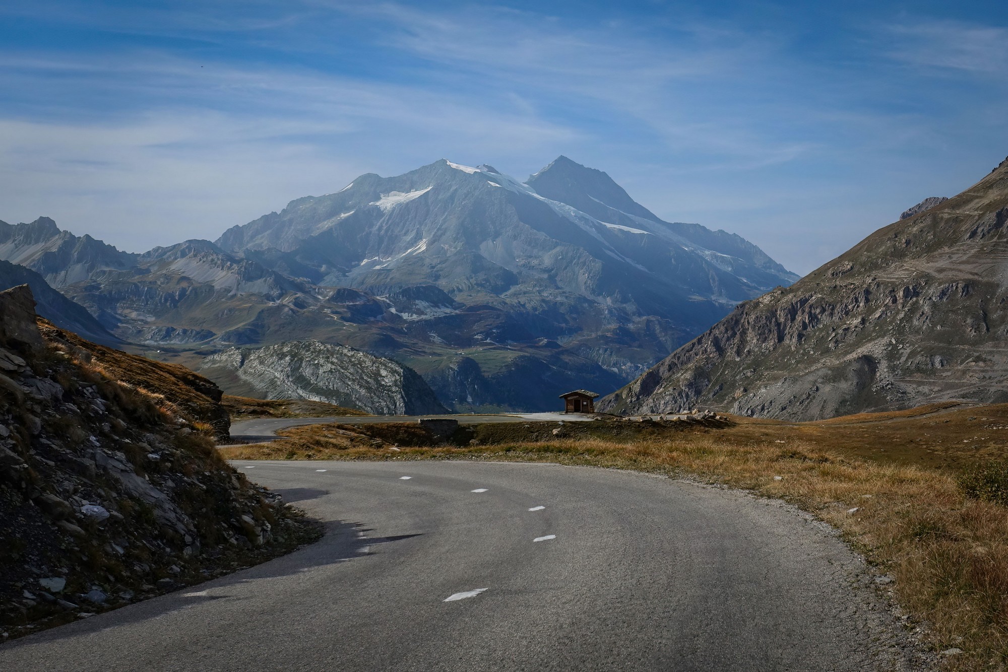
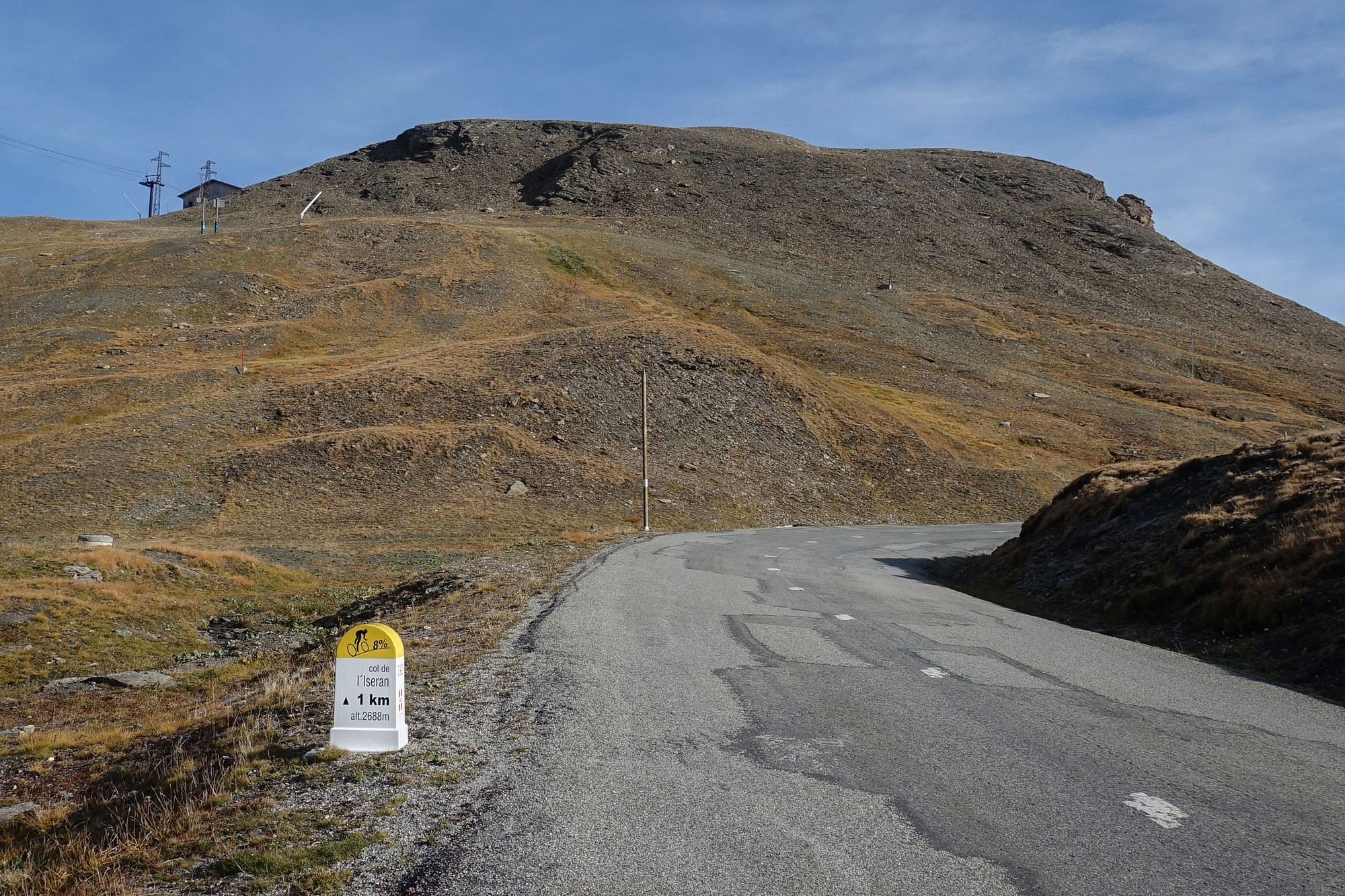
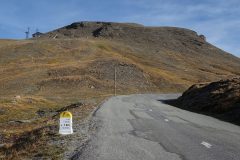
I didn’t stop from that point on. All other photos were taken on the descent. The wind was behind me for those final couple of miles, which was useful because I was beginning to feel the effects of the thin air (I was now above 2,500 m) and, cruelly, the final kilometre is the steepest at 8%. But with the end in sight (or at least in mind) I slogged my way to the top.
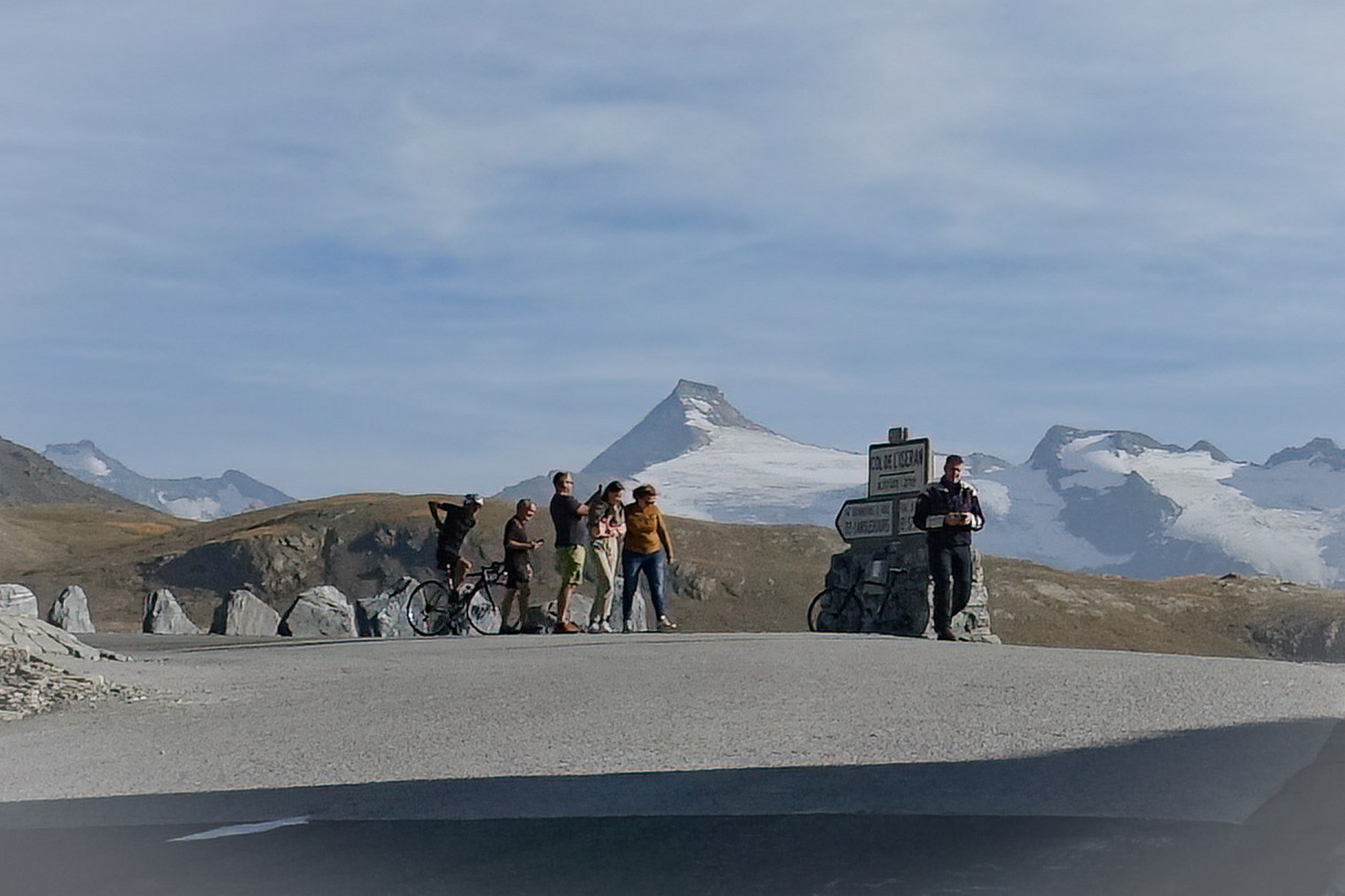
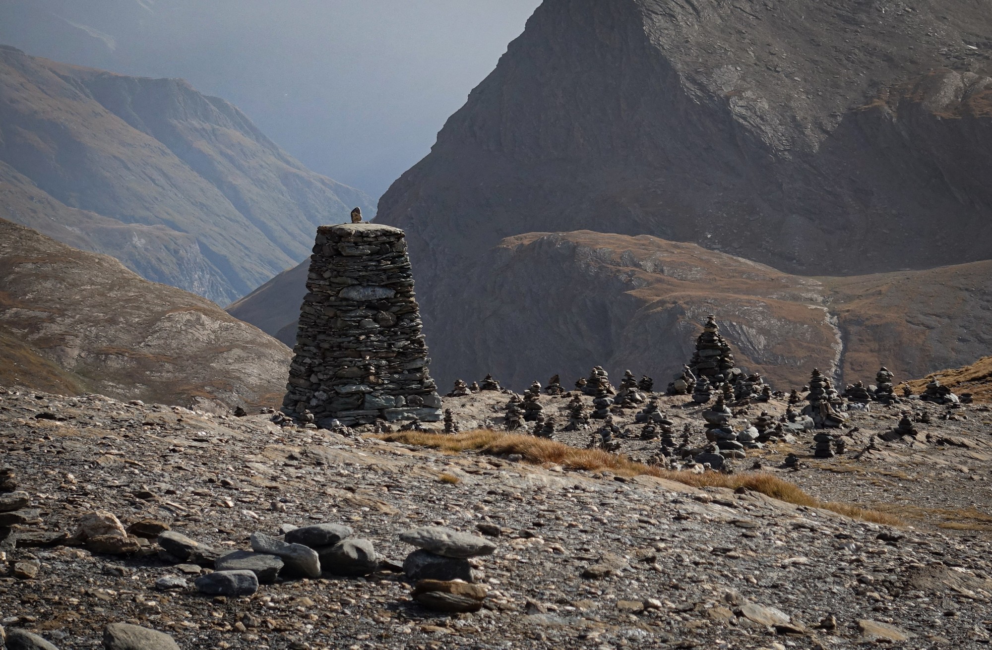
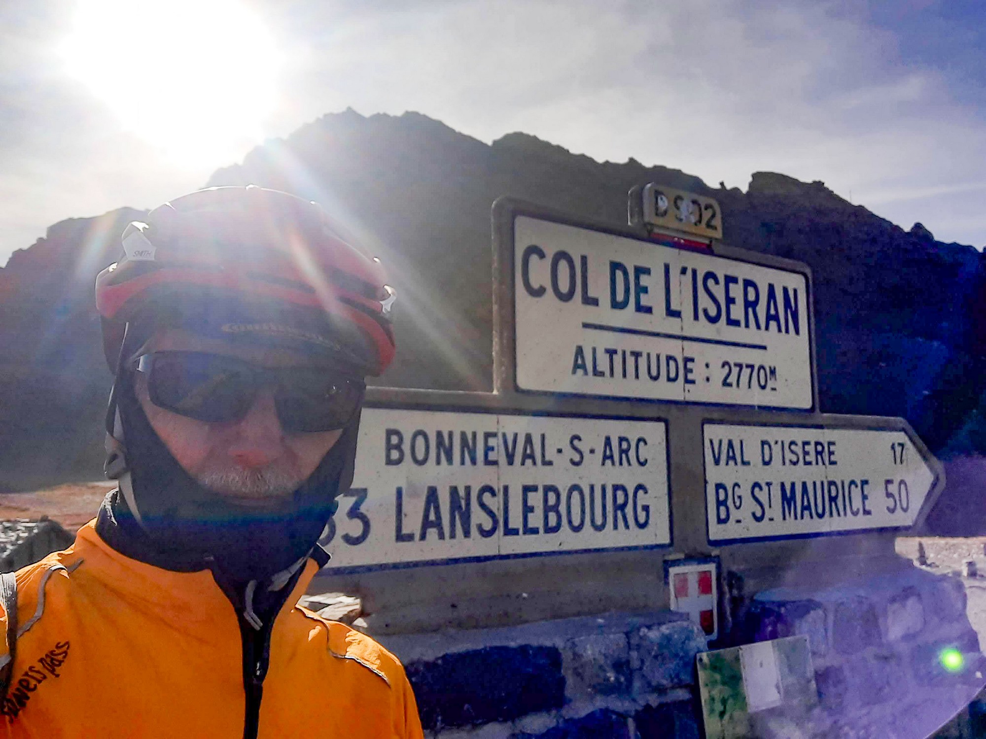
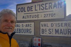
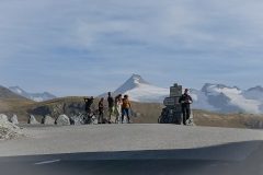
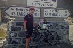
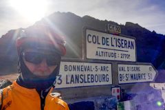
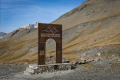
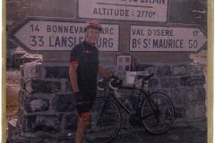
At the col was a cluster of bikers in front of the col sign and a couple of cyclists. I hadn’t passed, or been passed by, any other cyclists on the whole ride. A biker, or rather his pillion, offered to take my photo in front of the sign. Unfortunately she only had an old Polaroid camera, and mysteriously the photo had aged 50 years by the time she passed it to me – must have been the altitude!
… or it could just be me playing around in Photoshop!
While standing there, one of the more bizzare sights I’ve seen at any col came into view. A man, wearing no helmet or any other cycling gear, or indeed anything at all above his waist, arrived (from the same side I’d climbed) on an old city-type bike with an old-style transistor radio hooked on the handlebars playing a tinny tune. It was 10°C and he had his shirt tied around his waist! Quite mad! But massive respect if he’d ridden from at least Pont Saint-Charles.
(or maybe it was an hallucination caused by lack of oxygen …)
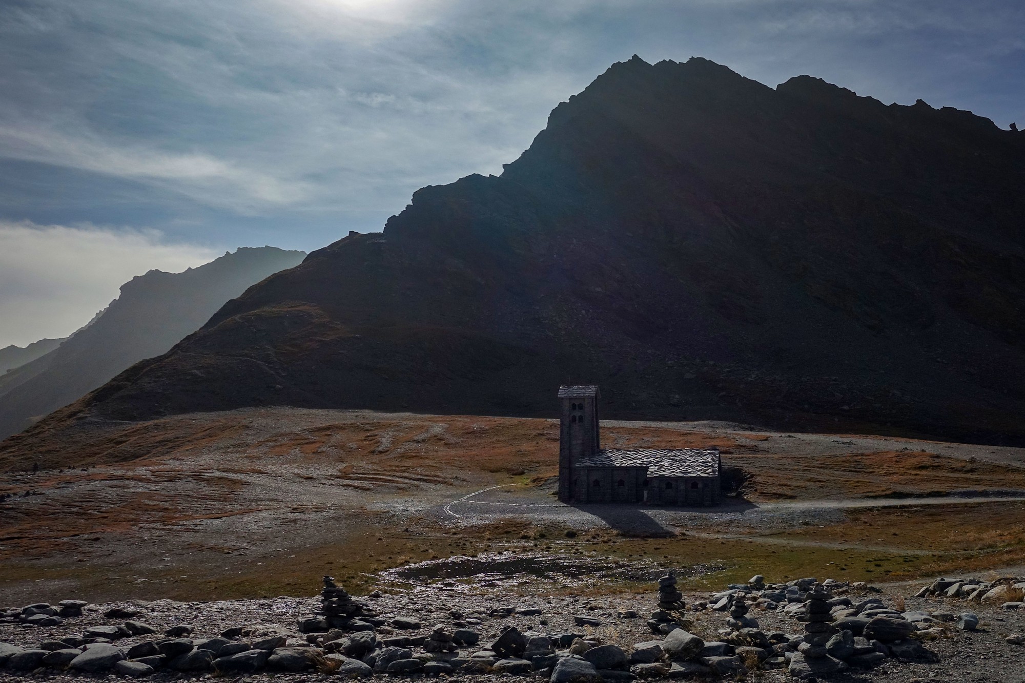
It had taken me 4hrs 15 mins of cycling to cover the 29 miles at just under 7 mph, with an additional half hour or so of stoppages. I ate the second half of my sandwich, donned my arm warmers, snood and rain jacket and left after about twenty minutes. It was coming up to 5pm so I only had a couple of hours of daylight left to cover the 29 miles back.
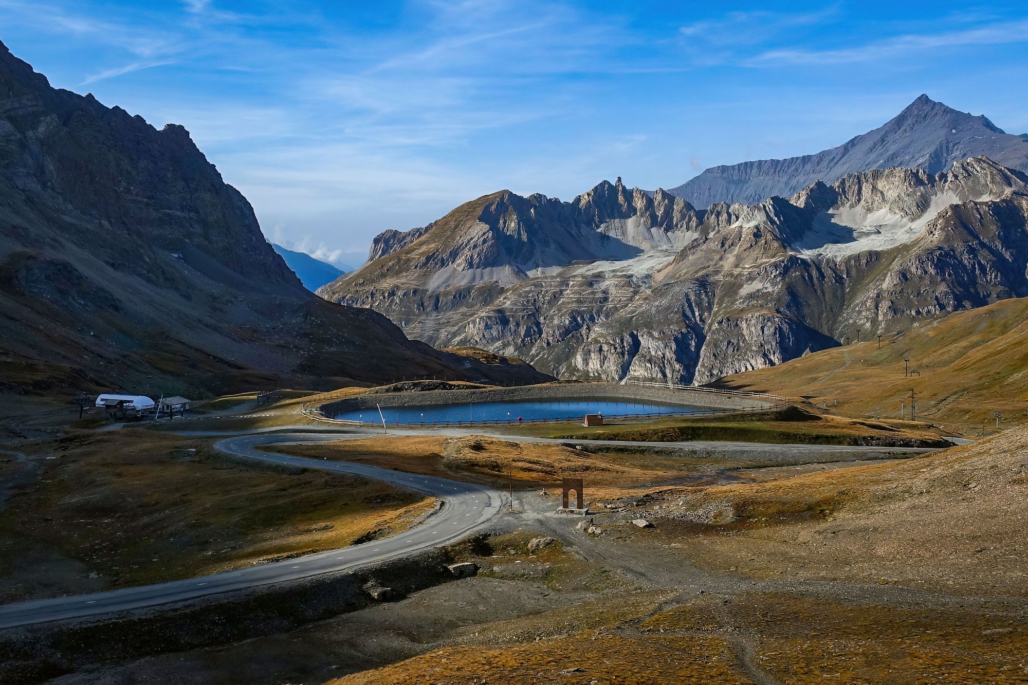
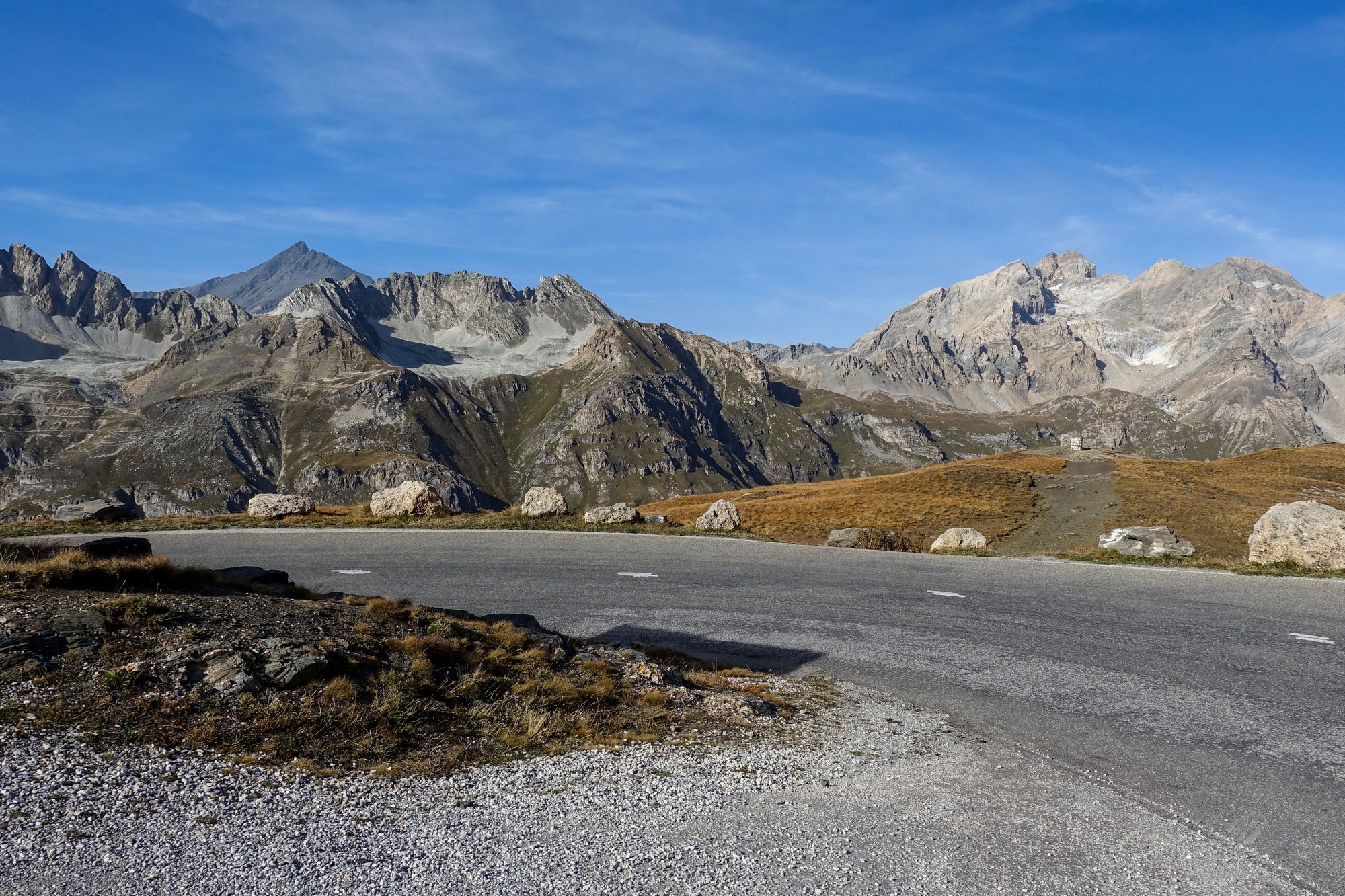
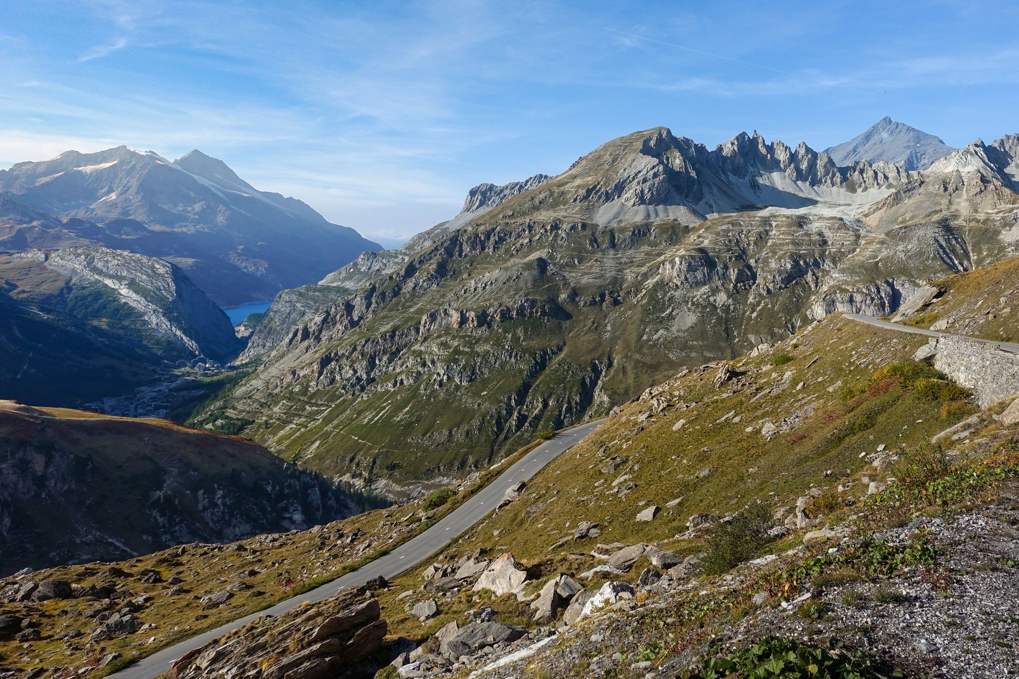
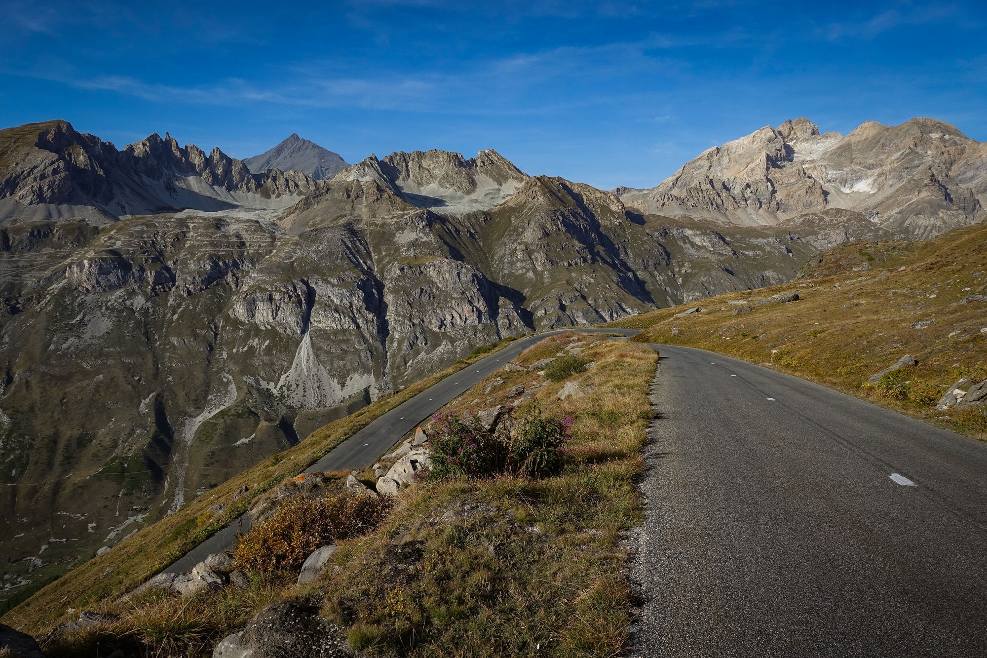
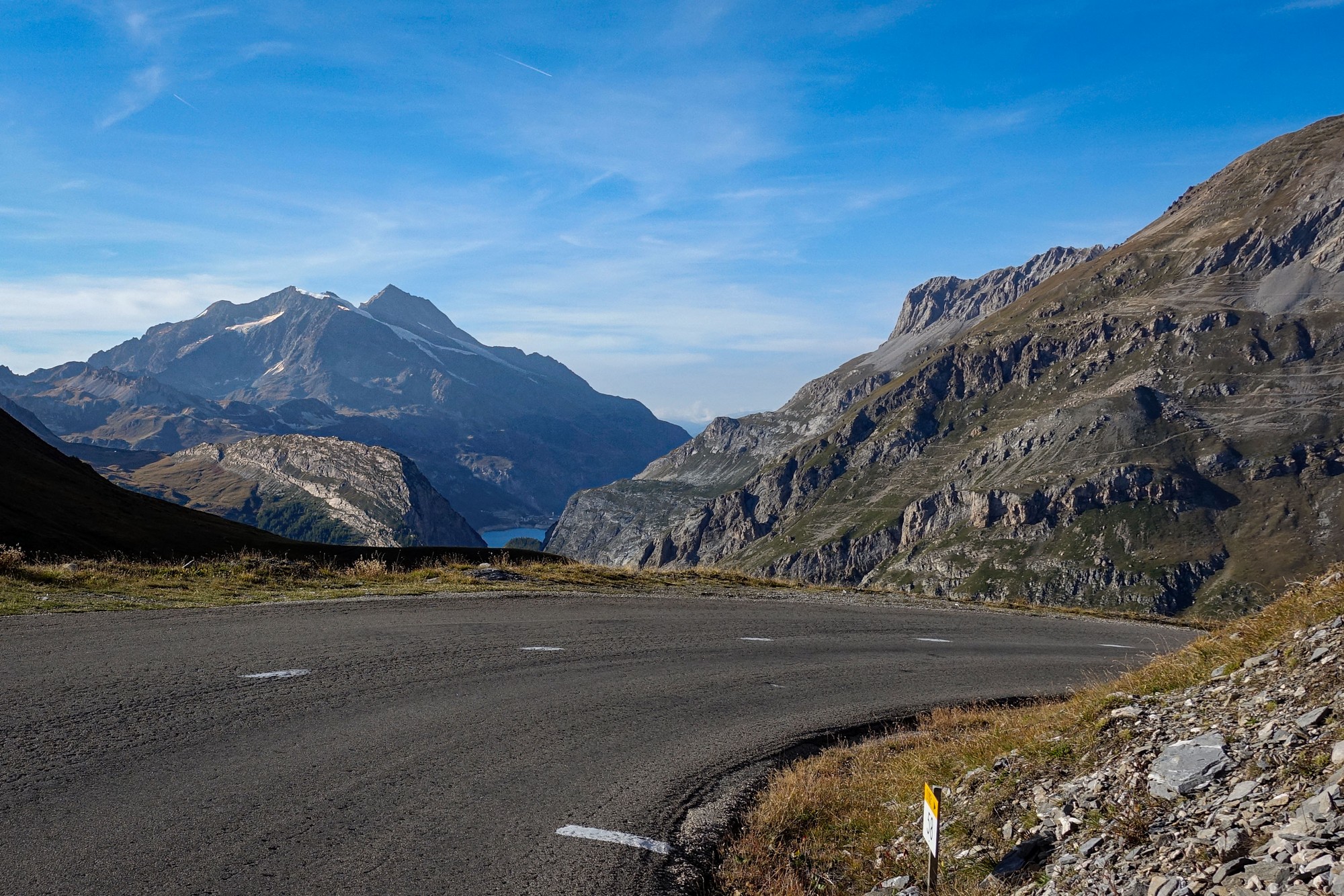
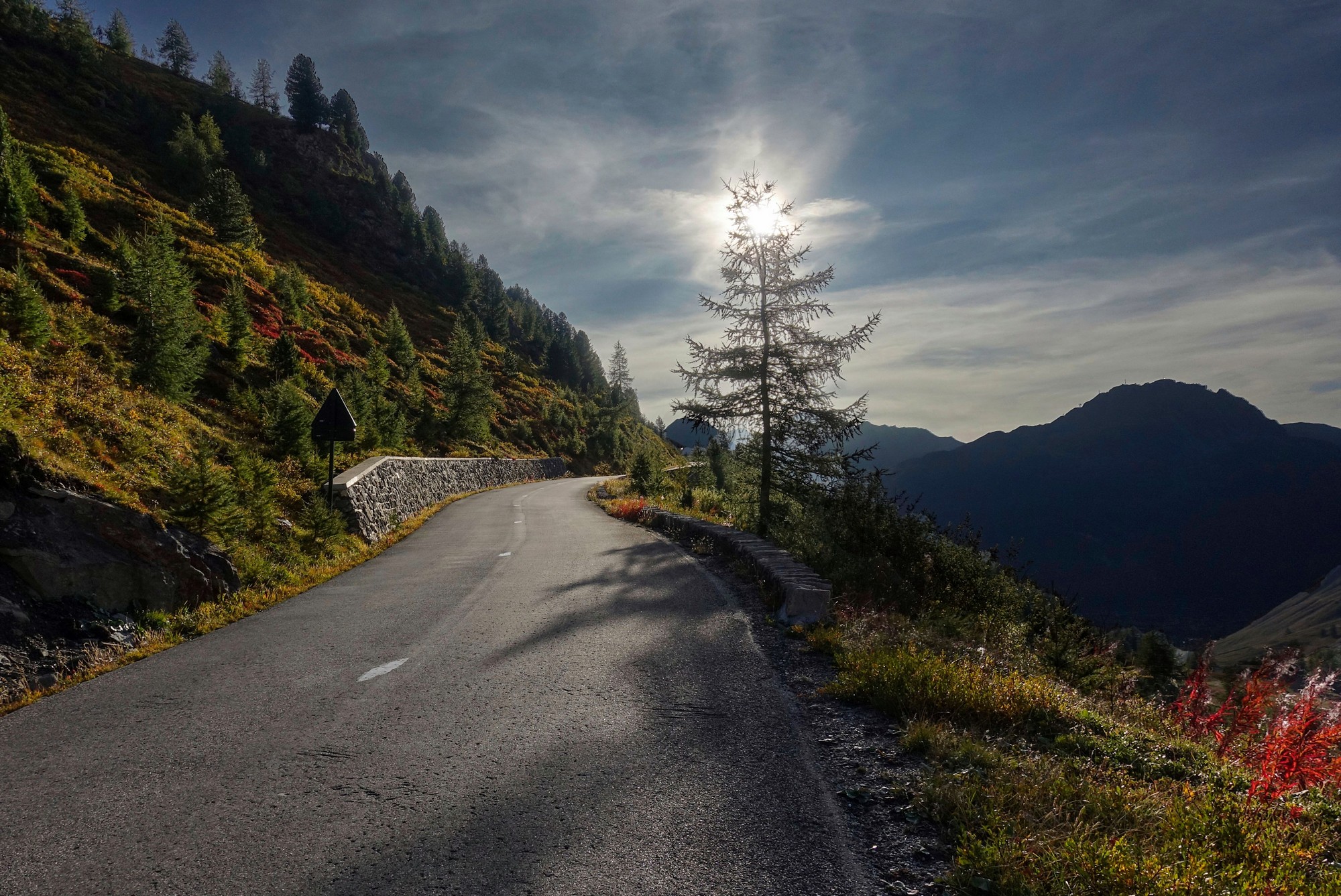
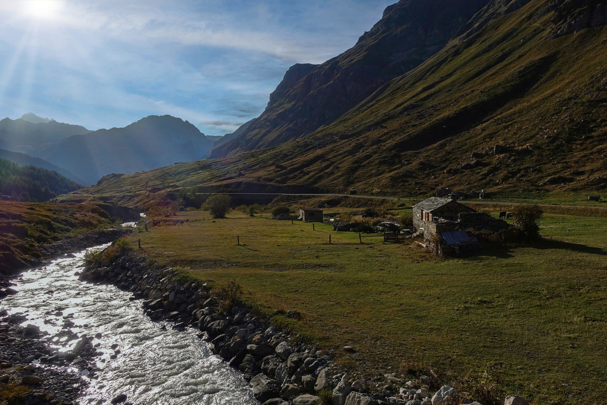
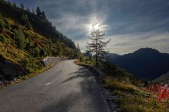
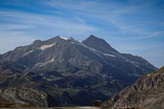
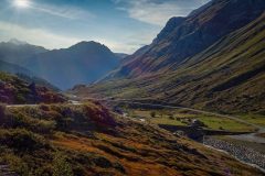
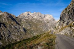
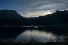
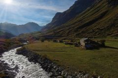
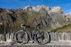
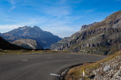
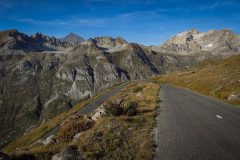
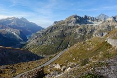
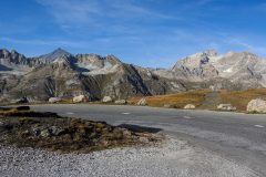
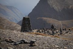
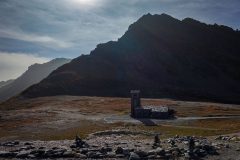
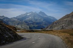
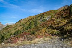
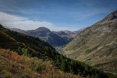
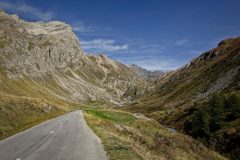
As is often the case, the views on the way down were more striking, particularly where the low sun brought out the relief of the landscape. Consequently I stopped frequently all the way down to Pont Saint-Charles. This is a beautiful piece of mountain road, only occasionally marred by the presence of ski paraphernalia such as snow makers and lift cables.
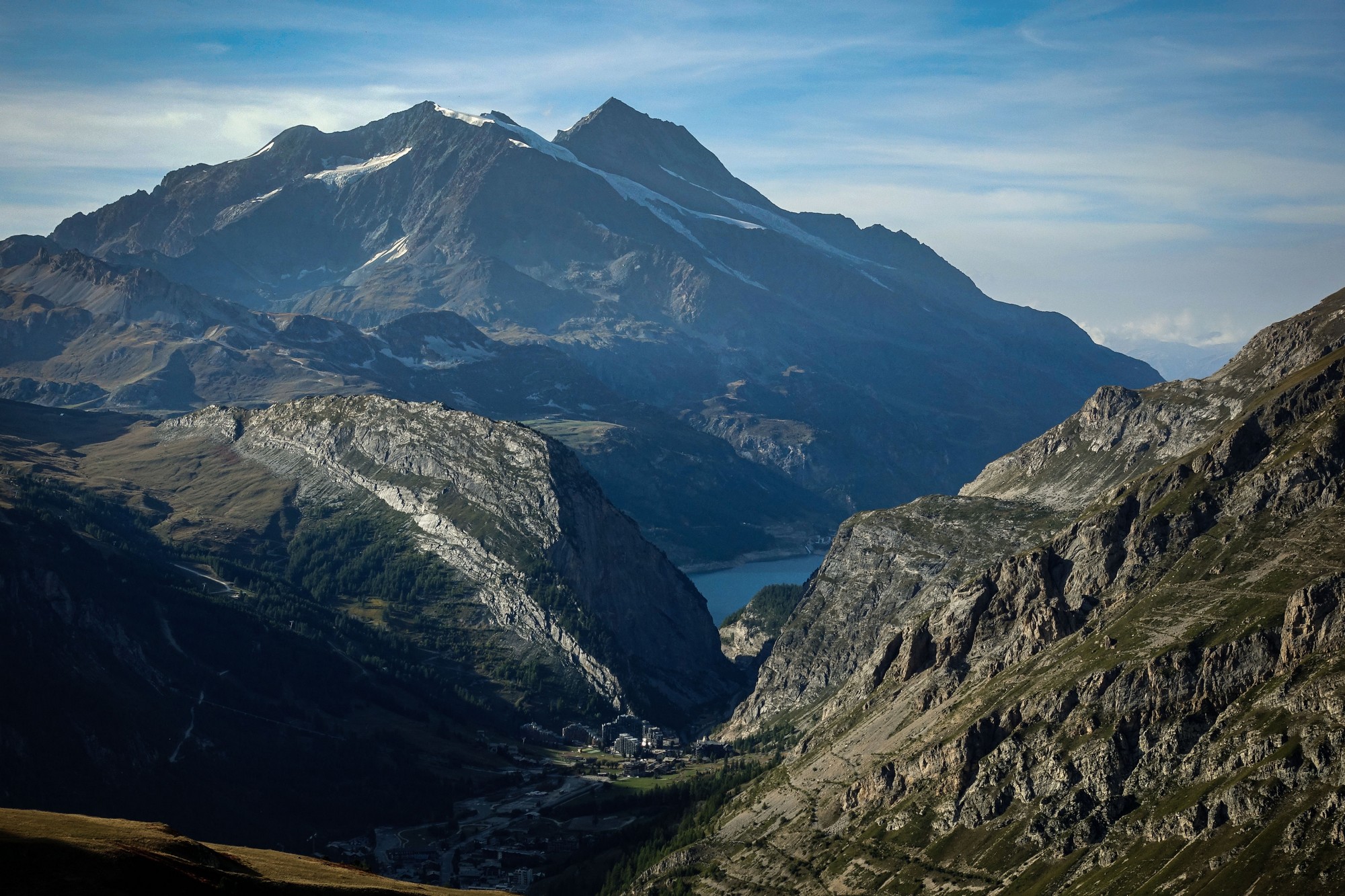
I was gob-smacked by the scenery. I’m trying my best to do it justice here.
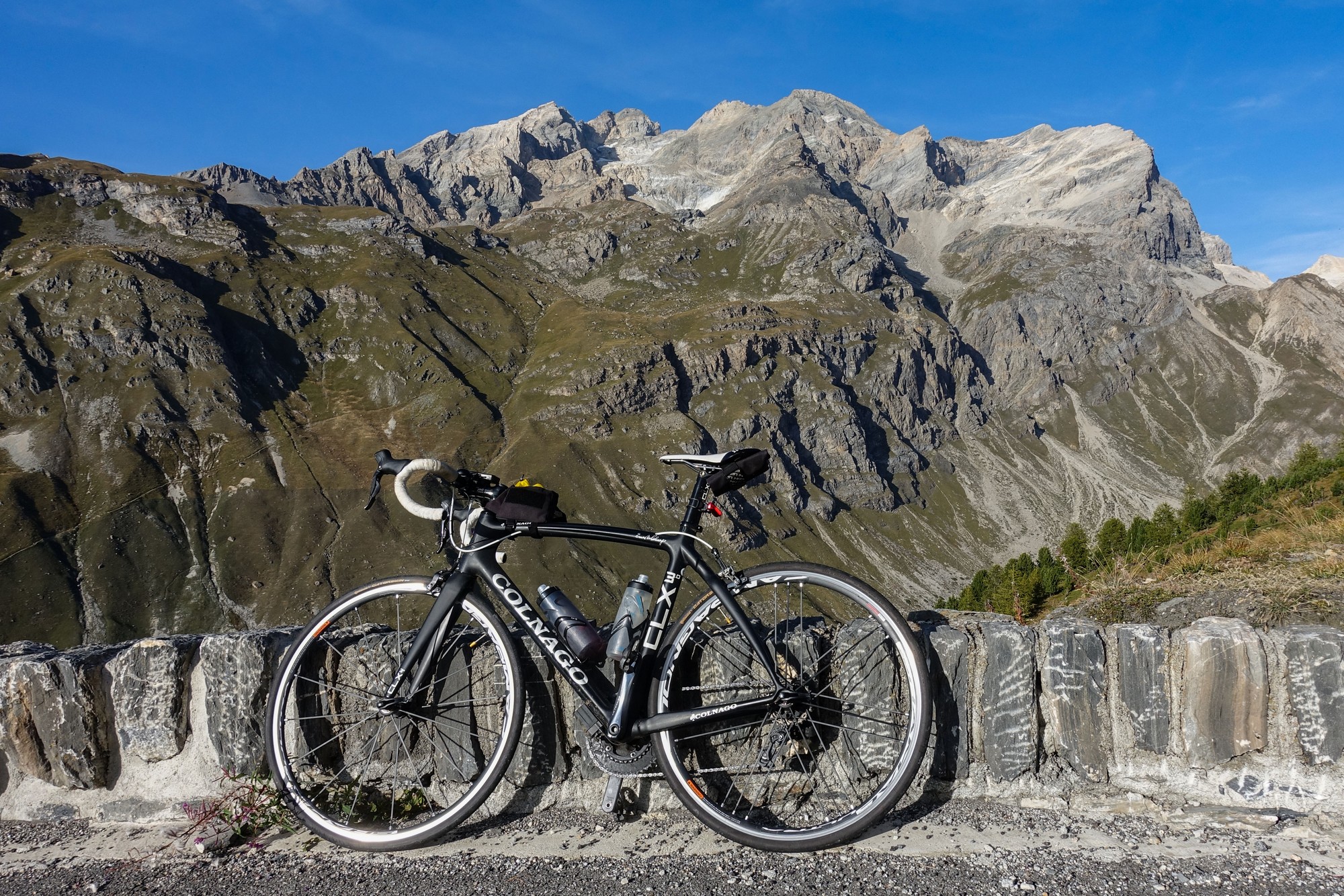
As I wound my way down to Pont Saint-Charles, the evening sun cast a golden glow over the peaceful valley. I half-wished I had parked my van at the bridge and done the climb from there. I could have finished there and then and enjoyed the onset of the gloaming. But then I would have missed the next 22 miles of descent to Bourg. The only thing spoiling the tranquility was a handful of idiots in cars with loud farty & poppy exhausts – what is the point of that?
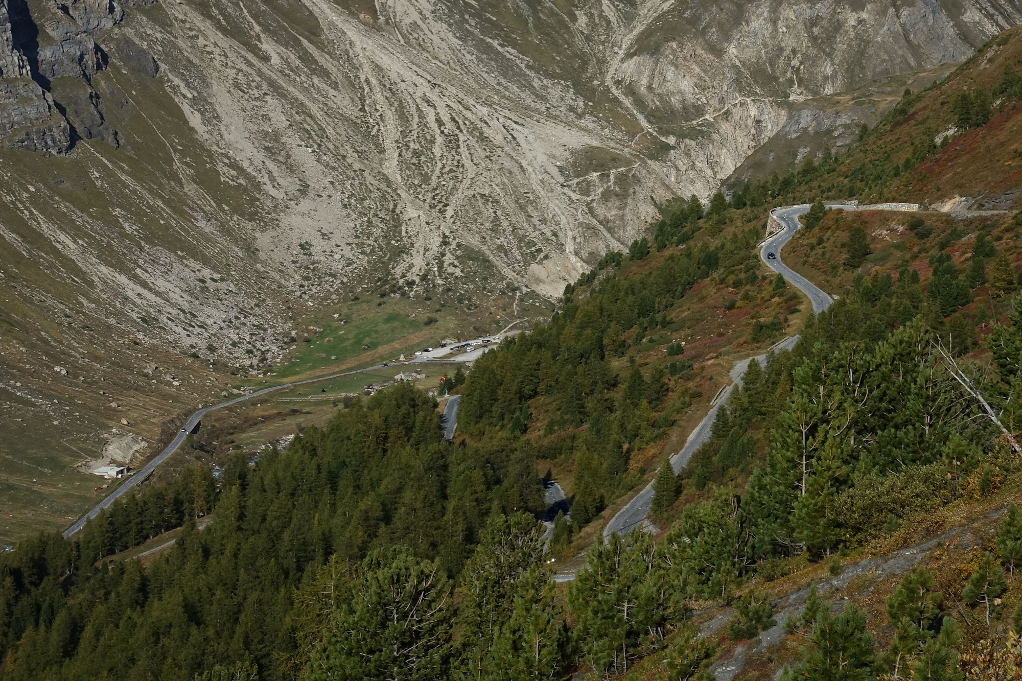
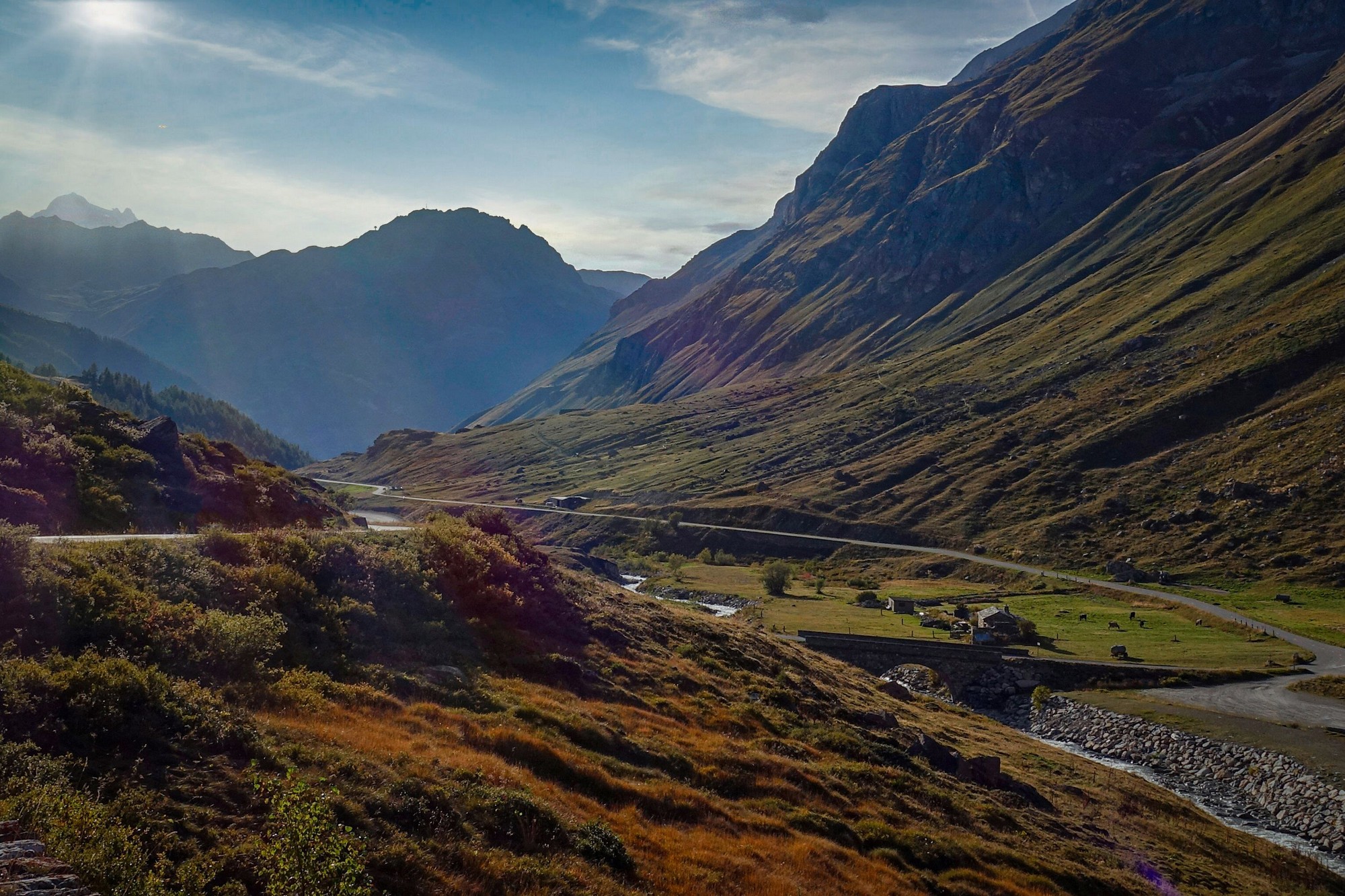
From Pont Saint-Charles I rarely stopped for photos. There were only three miles of sunshine down to Val d’Isère, after which the road veers northwards past the lake, rendering the rest of the valley in shadow.
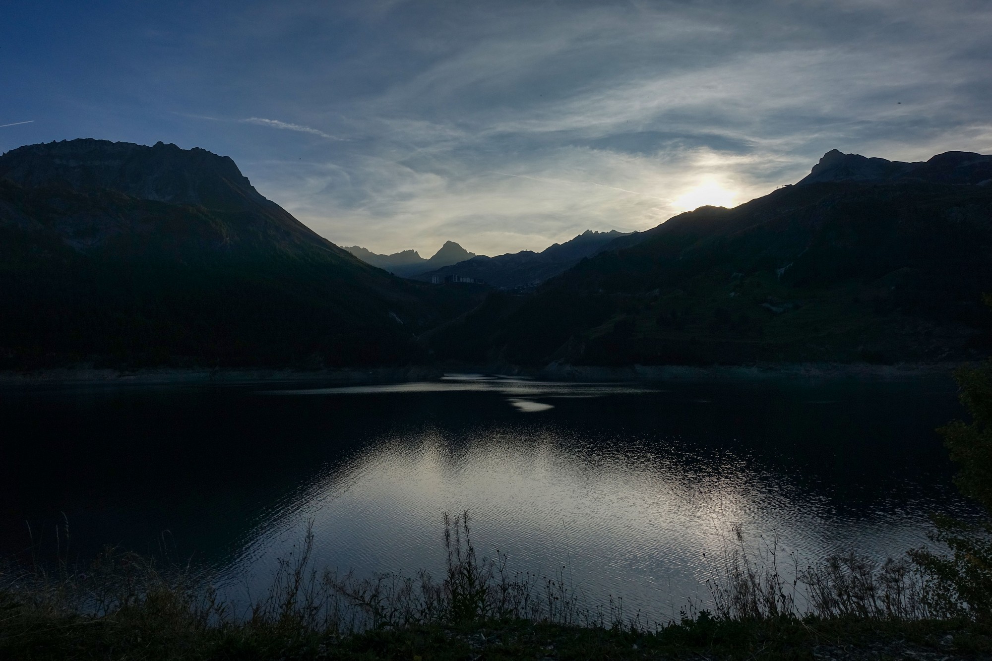
I really enjoyed the descent. There was barely any traffic. Only two cars passed me between Val d’Isère and Seez (16 miles!). I even loved the tunnels and galleries, having them to myself.
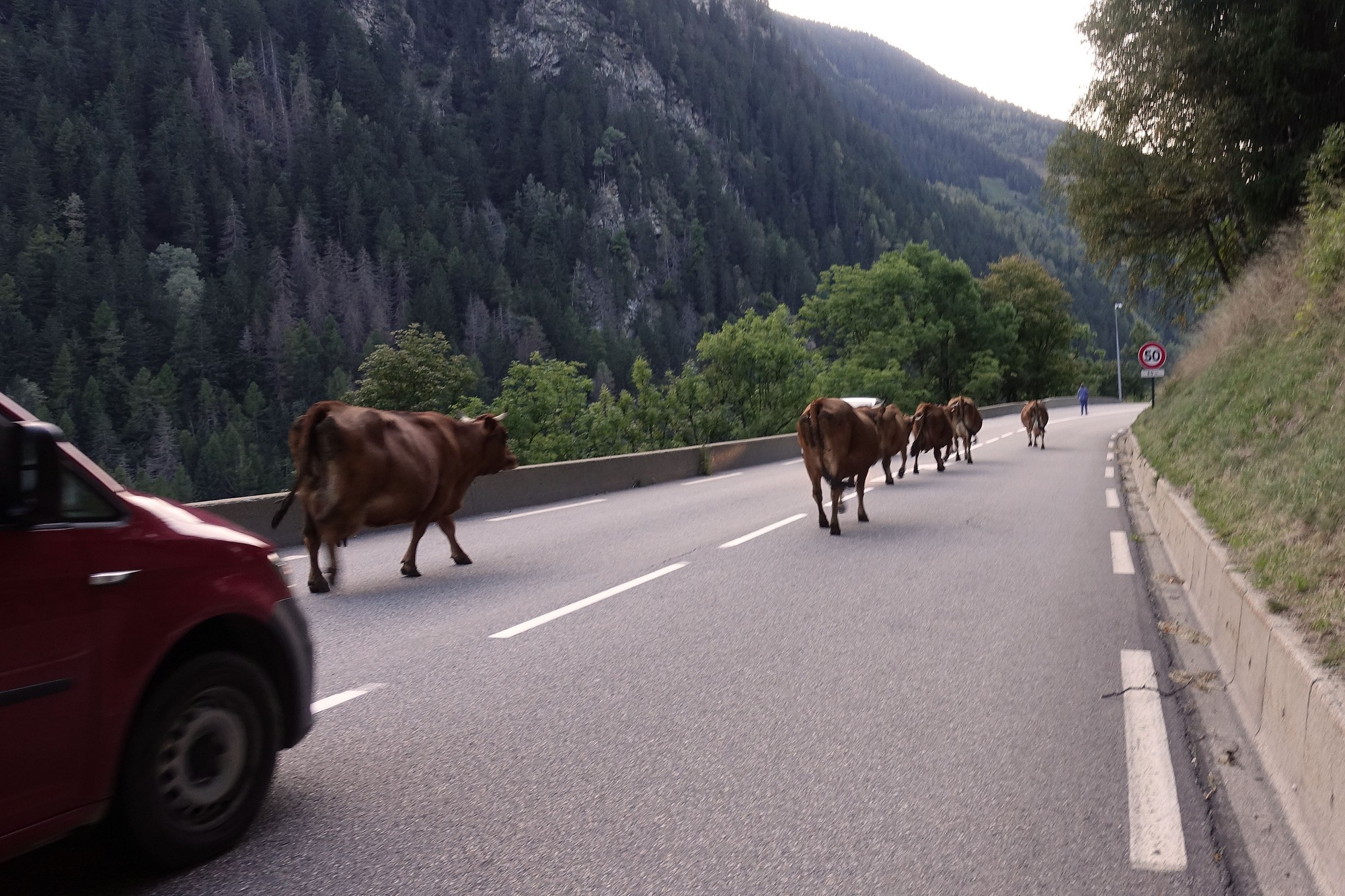
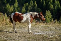
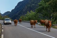
Once past the lake I revelled in the downhill rush, averaging over 30 mph for 6 miles. There was some new tarmac further down so it looks like they’ve fixed a section since I was last here. My enjoyment was briefly, but charmingly, interrupted by a hold-up caused by a farmer walking her small herd of cows down the middle of the road.
While there was no room for cars, I slowly edged my way past them.
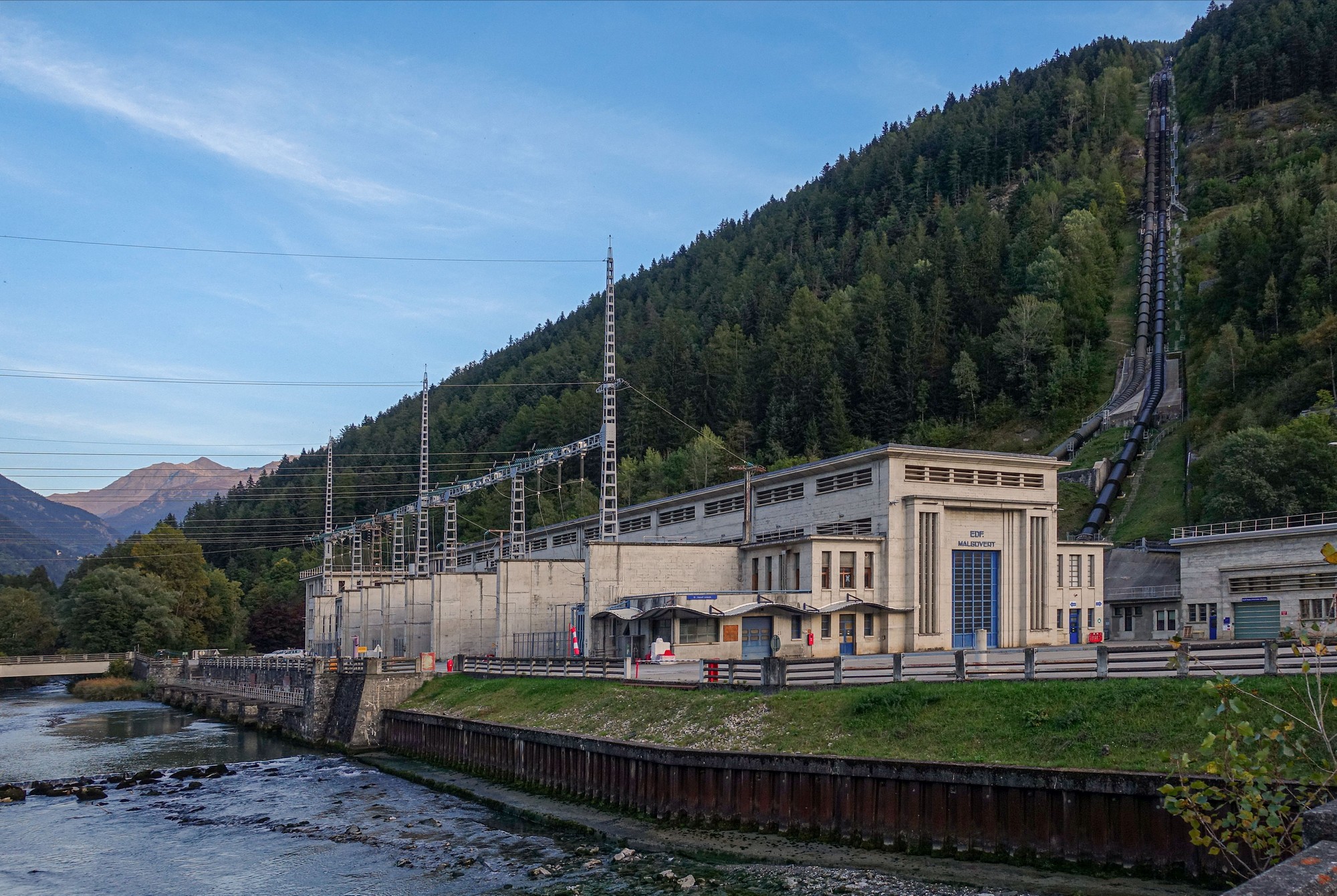
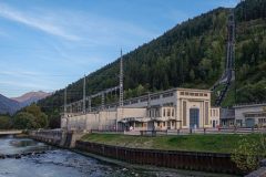
I maybe shouldn’t have risked doing that, but with the cars still held up I then had an open road ahead of me. I rode another 3 miles at 30mph, then the average dropped as the road levelled out (including a slight incline) approaching Seez. After Seez, I detoured around the back of Bourg, past the Centrale de Malgovert power plant.
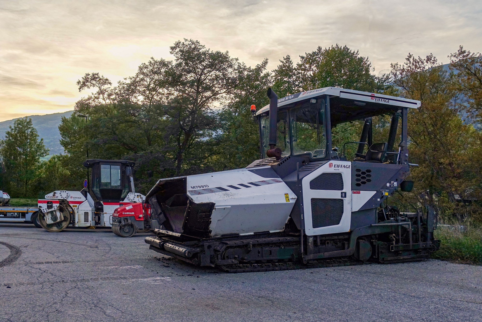
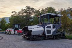
I felt exhilerated after that descent, and for the day’s achievement. The ride was rounded off nicely with a hydroelectric power station and some road laying machinery – what more could I ask for!
What a day! (as Carlton Kirby would say…). I’m so glad I failed to listen to my own advice (and indeed that of many other riders) and took on, once again, this long climb to le Col de l’Iseran from Bourg-Saint-Maurice. The weather was perfect, there was not much in the way of traffic and the scenery beyond Val d’Isère is spectacular. Add to that the highest road pass in the Alps, a lake, a dam, hydro-electricity, a 29-mile descent and some cows, and you have the ingredients for an amazing day’s cycling! This is probably up there in my top ten.
How strange that the same stretch of road could be responsible for both one of my most nerve-wracking descents and also one of my most exhilarating!
Now I need to do it from the south side, from Bonneval-sur-Arc. That’s only an 8 mile climb!
Gallery
Click to enlarge / see slideshow














Thanks again for sharing your adventures Vince. I’ve ridden up the other side a few times and always wondered what this side was like, now I know! Having such good weather and light traffic certainly makes for a great ride. The Bonneval side is a little wilder and if you use Lanslebourg as a base you have the two nice climbs of Mt. Cenis and Plan du Lac on your doorstep.
Cheers
Martin
Hi Martin, thanks for your comment.
I think I was lucky with the lack of traffic for some reason. Maybe because it was end of September as opposed to late May. Given the conditions on my aborted ride last year I can’t honestly recommend this particular route, unless you want to do it from Pont Saint-Charles.
I’m glad to hear the other side is wilder – I prefer that. And thanks for the recommendations for the other rides that side. They’re on my list.
Cheers
Vince