Distance: 53.1 miles. Elevation: 6637 ft.
Col de la Placette | Col de Palaquit | Col de Porte
I’m back over in France again for another tour. I always give my tours a title. This one was originally to be called The 25 Cols Tour, the idea being that I had 25 more cols to climb before I could join le Club de Cent Cols, having already climbed 75. But a couple of weeks before leaving I had managed to unearth an additional 28 cols on their list which I had visited as part of rides I’d done. And so, with 103 cols under my wheels, I applied to join, and was accepted as a fully-fledged member of le Club de Cent Cols! So I renamed this cycling tour to The Next 100 Cols Tour. As usual I had been planning loads of rides over the winter and I have come away with a huge selection of ride possibilities.
Today’s ride was my first in the Chartreuse massif, to the north of Grenoble. I’d planned this route to take in Le Pont de Pierre Chave, an unusual 360° loop in the road. But with that goal complete in the first 5 miles, the rest of the ride turned into a big climb-fest, not helped by a hilly detour around a road closure.
I set off at 12:40 and recorded reports into my phone as usual:
15:18 First report coming from la Monta, on the outskirts of Saint-Egrève. The weather is absolutely perfect – sunny with a slight breeze but not too cool. The ride started with a couple of miles of flat, through Villette.
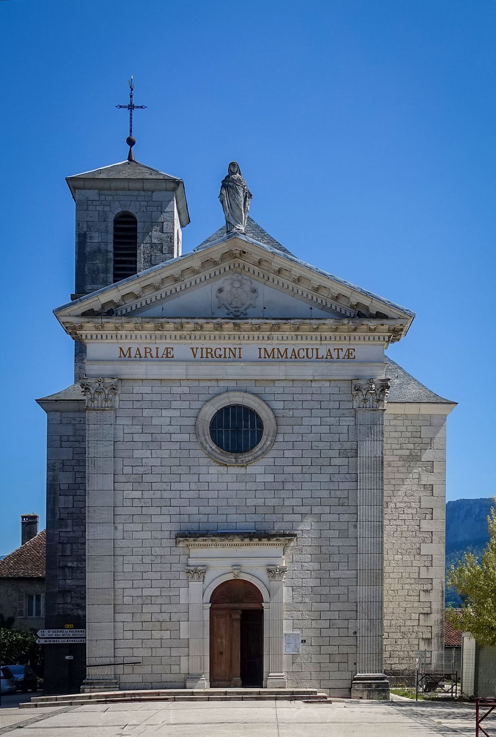
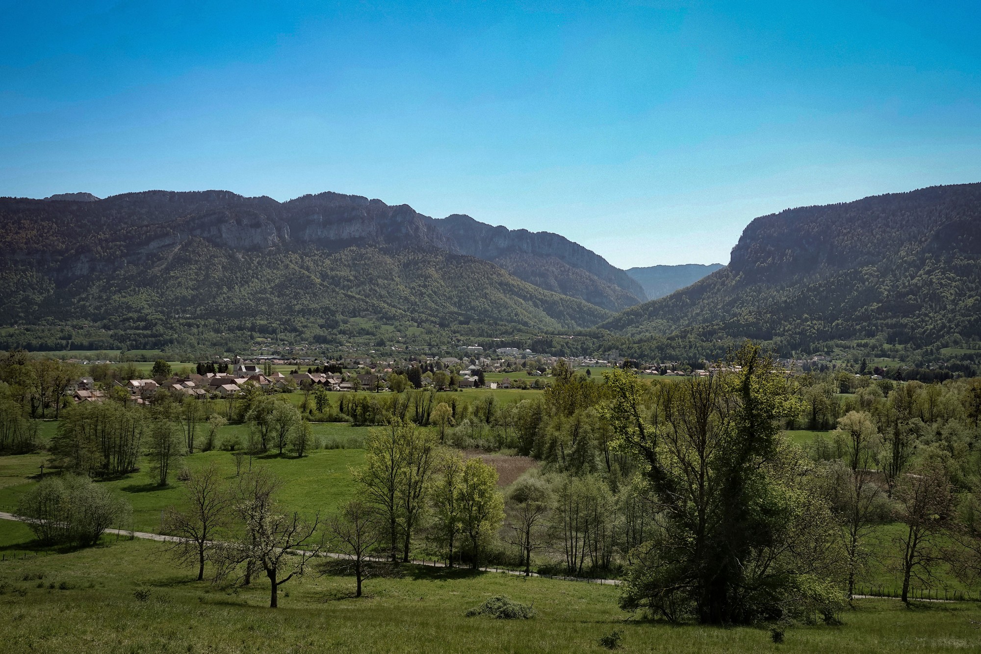
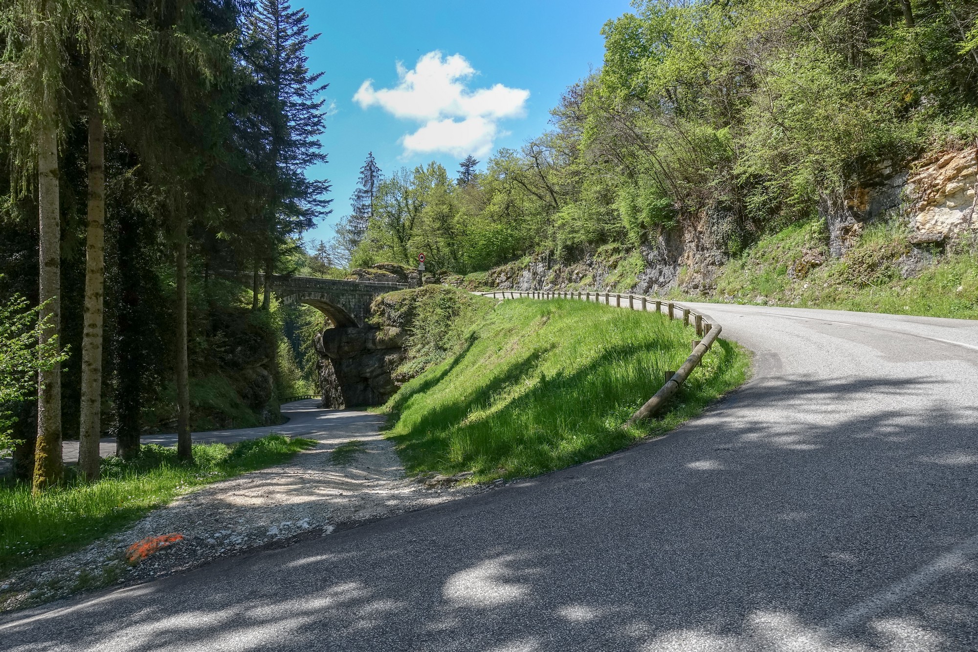
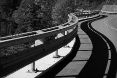
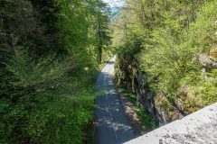
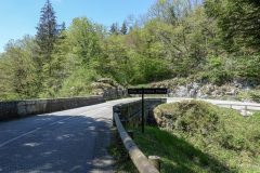
Then came a steady climb to that weird 360° loop in the road, le Tourniquet de Pierre Chave, apparently an extremely rare road configuration (more info below).
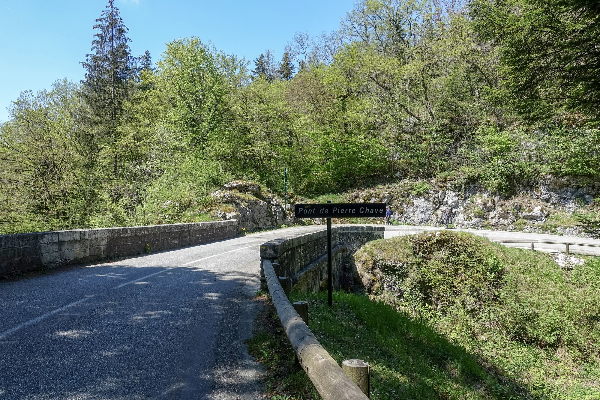
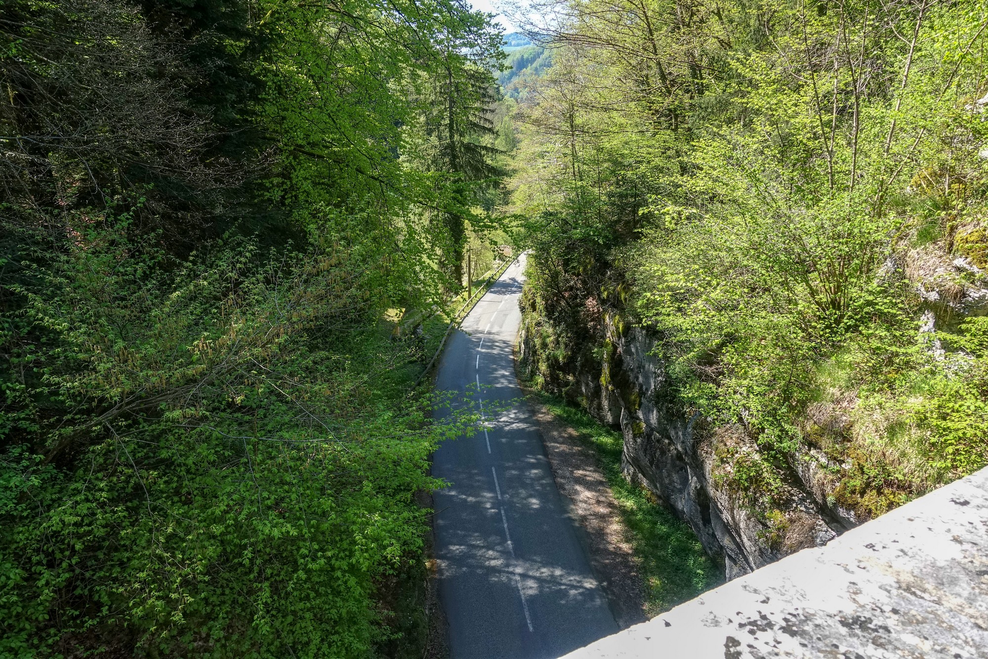
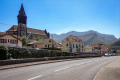
After the bridge there was a descent. The area is really beautiful – lovely villages and amazing views and hardly any traffic. I’m back in heaven again!
One thing I’ve noticed is that the rear of my left shoe is hitting the bike frame, which is highly unusual, and I can only assume it’s because I put new cleats on this morning, even though I tried to get them in the same position as the old ones. Another theory is that I have my rain jacket and arm warmers wrapped around my top bar and my legs keep touching them so maybe subconsciously I’ve changed the position of my legs and that’s why the shoes are hitting the frame.
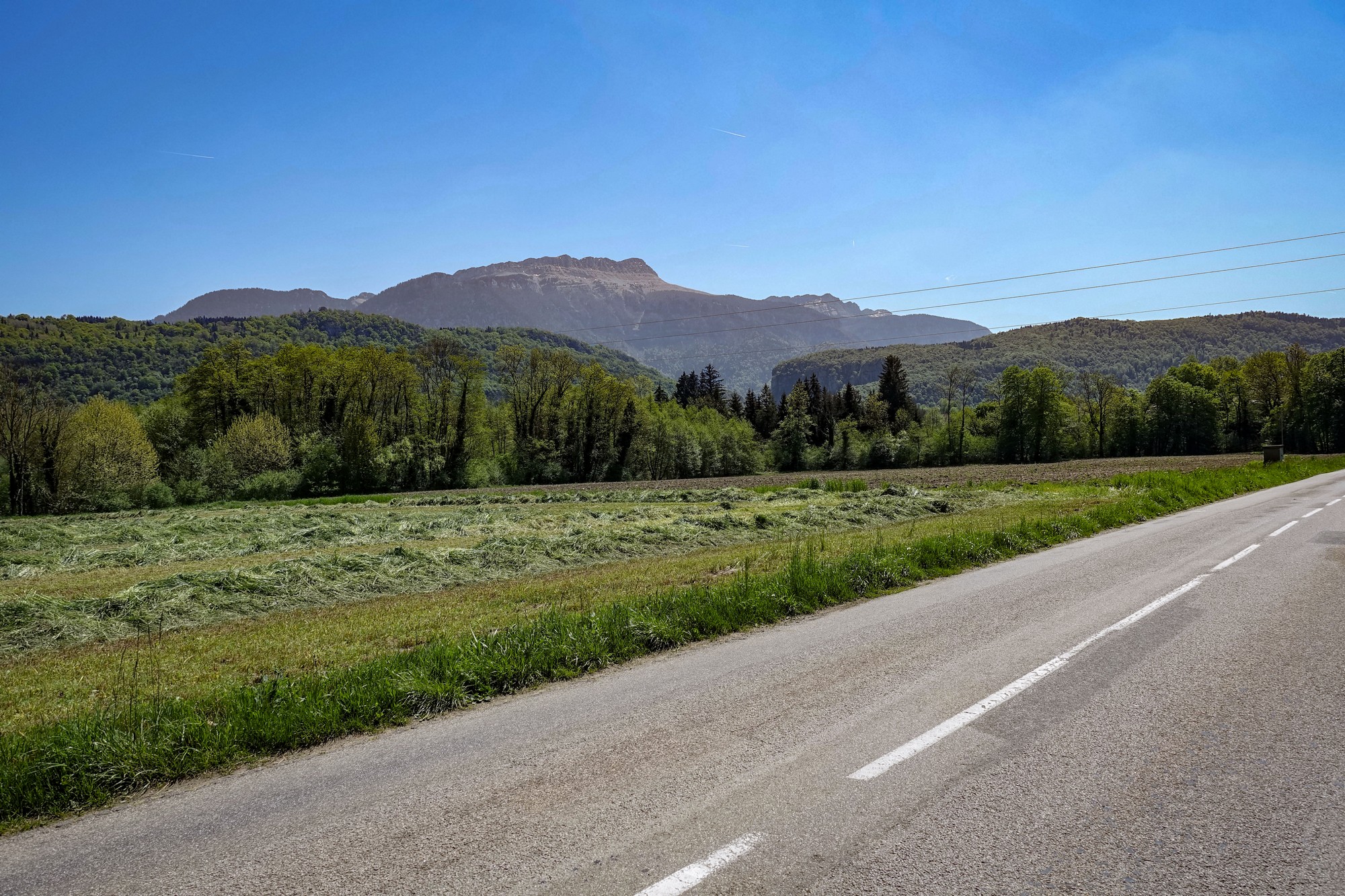
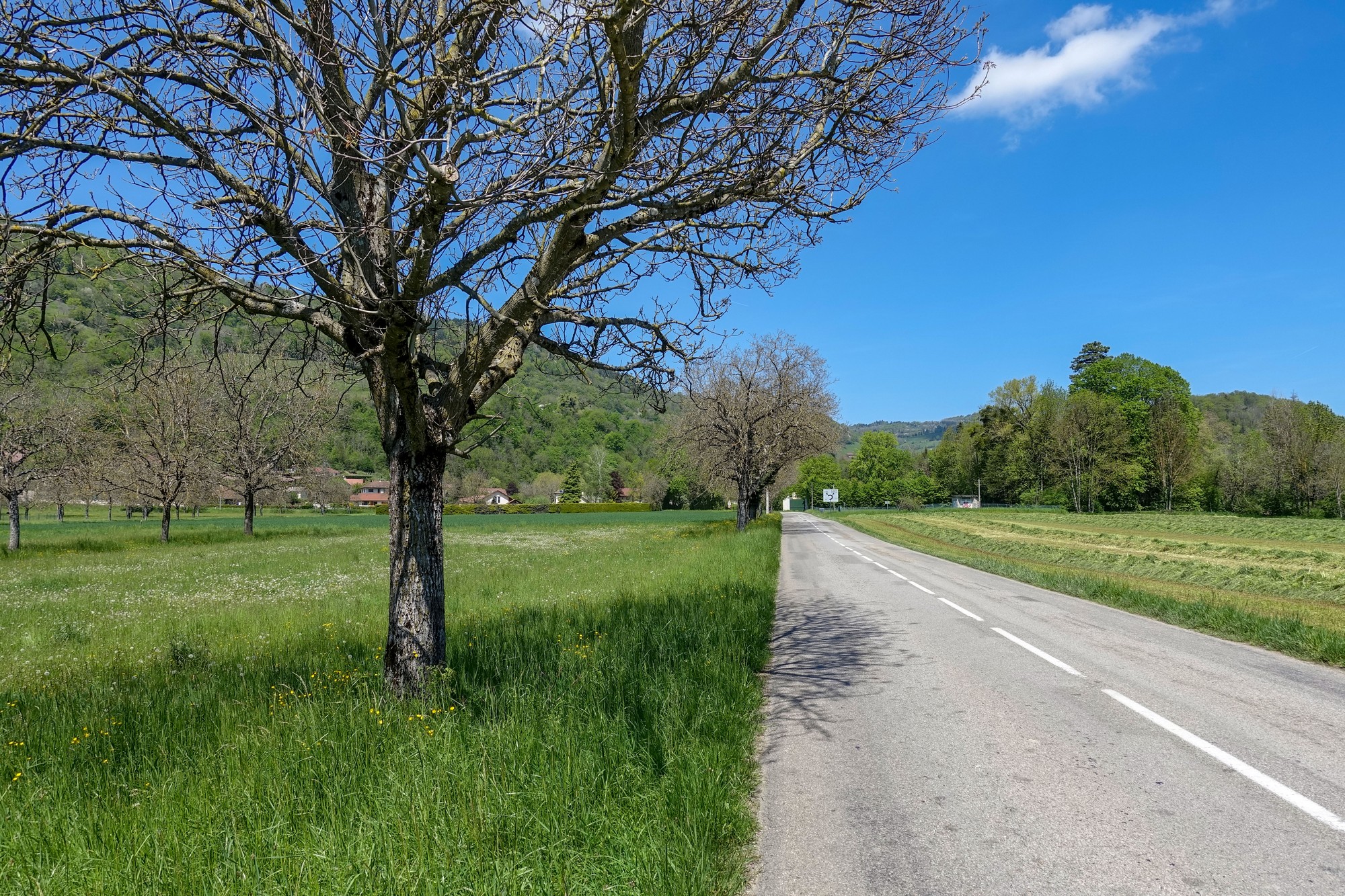
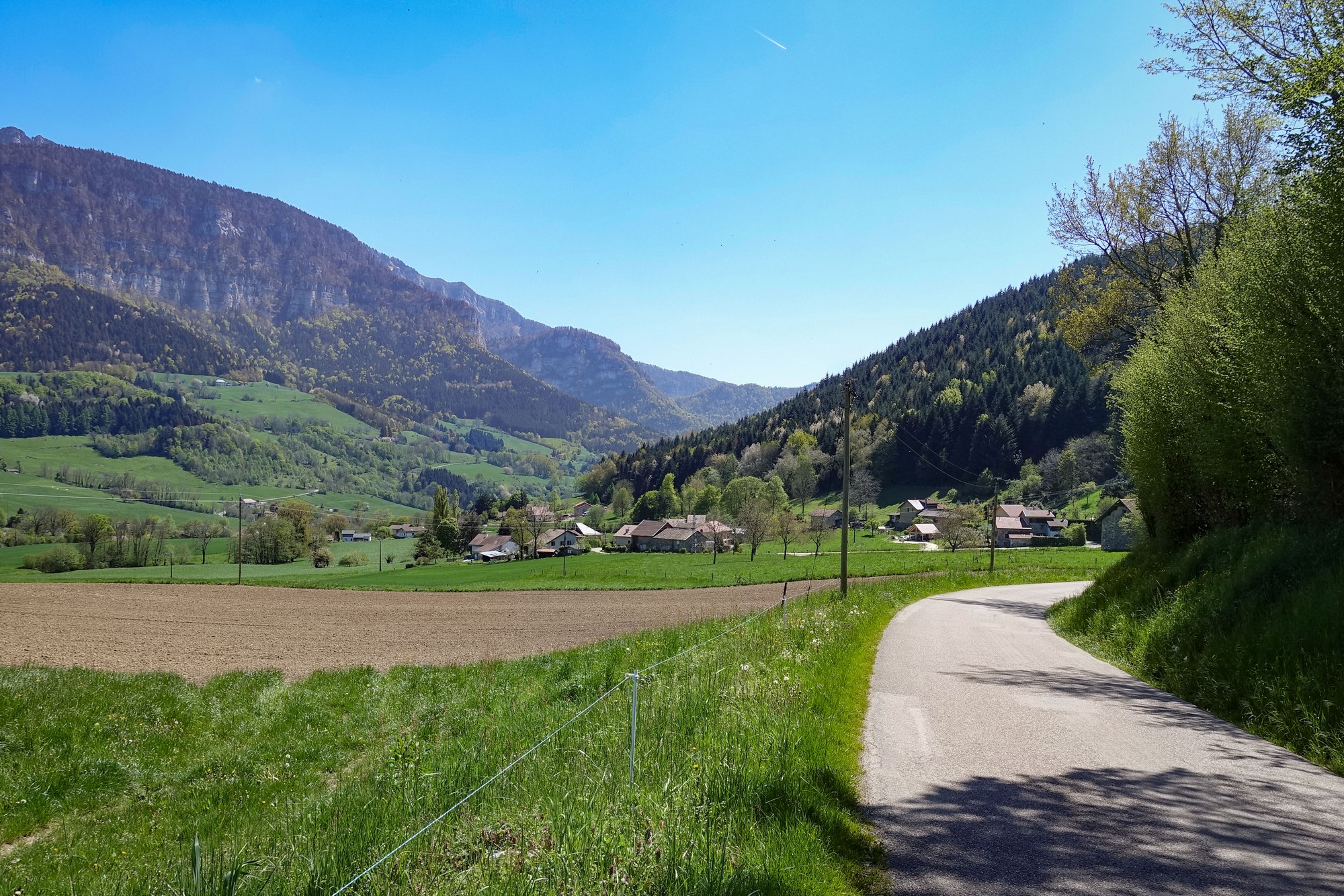
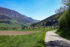
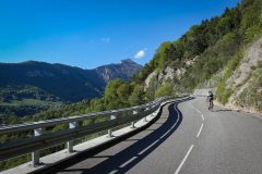
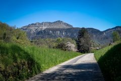
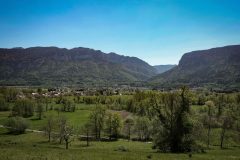
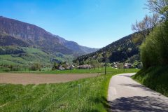
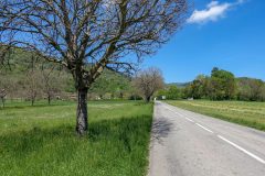
There was another lovely descent through pastures with the mountains to my left.
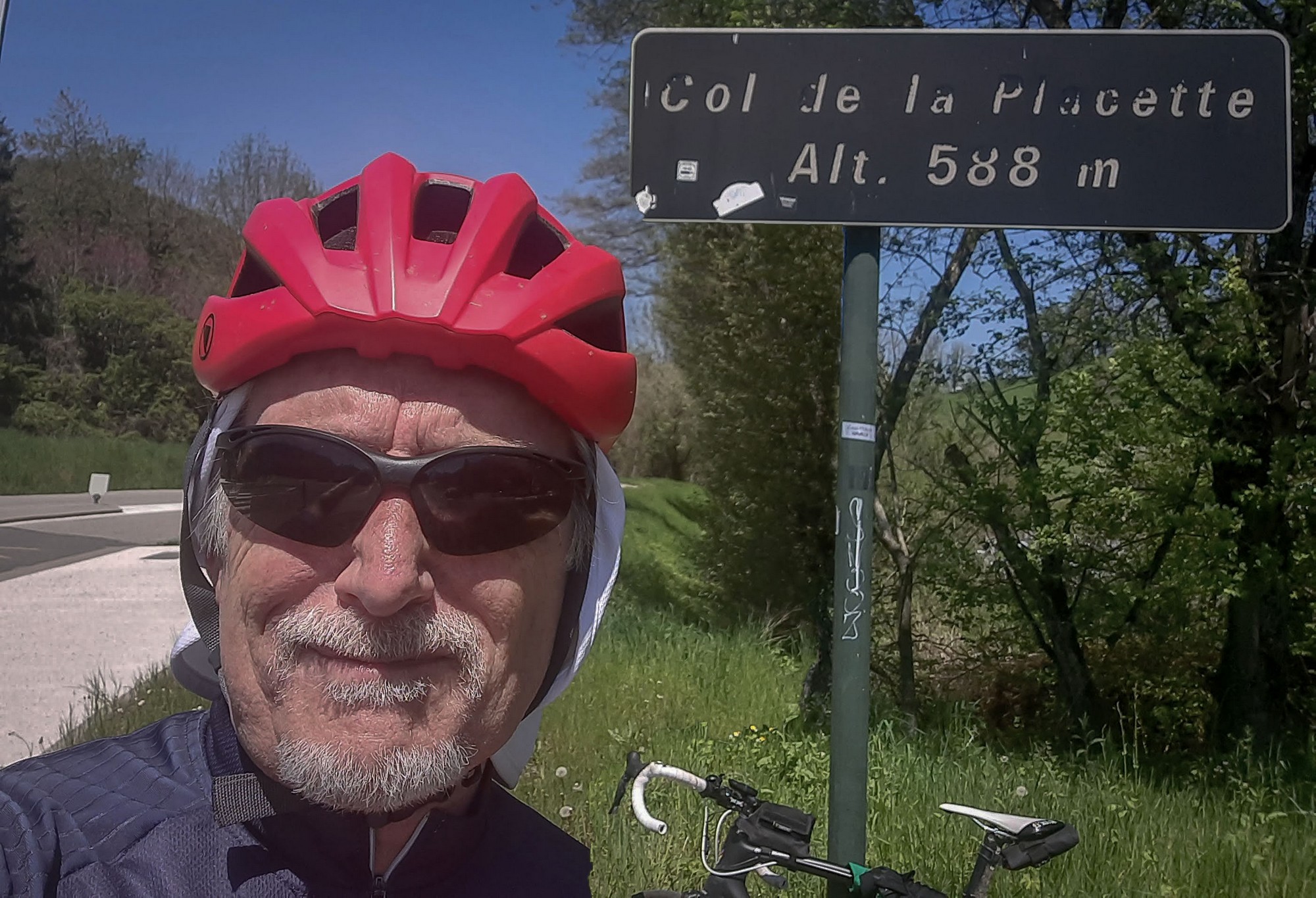
A three mile climb at 6% was followed by an amazing descent to Col de la Placette.
After that there was a very fast downhill on a main road with not too much traffic. I saw lots of cyclists going in the opposite direction.
That led me down to Voreppe.
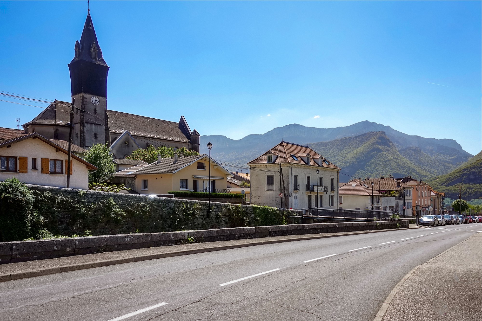
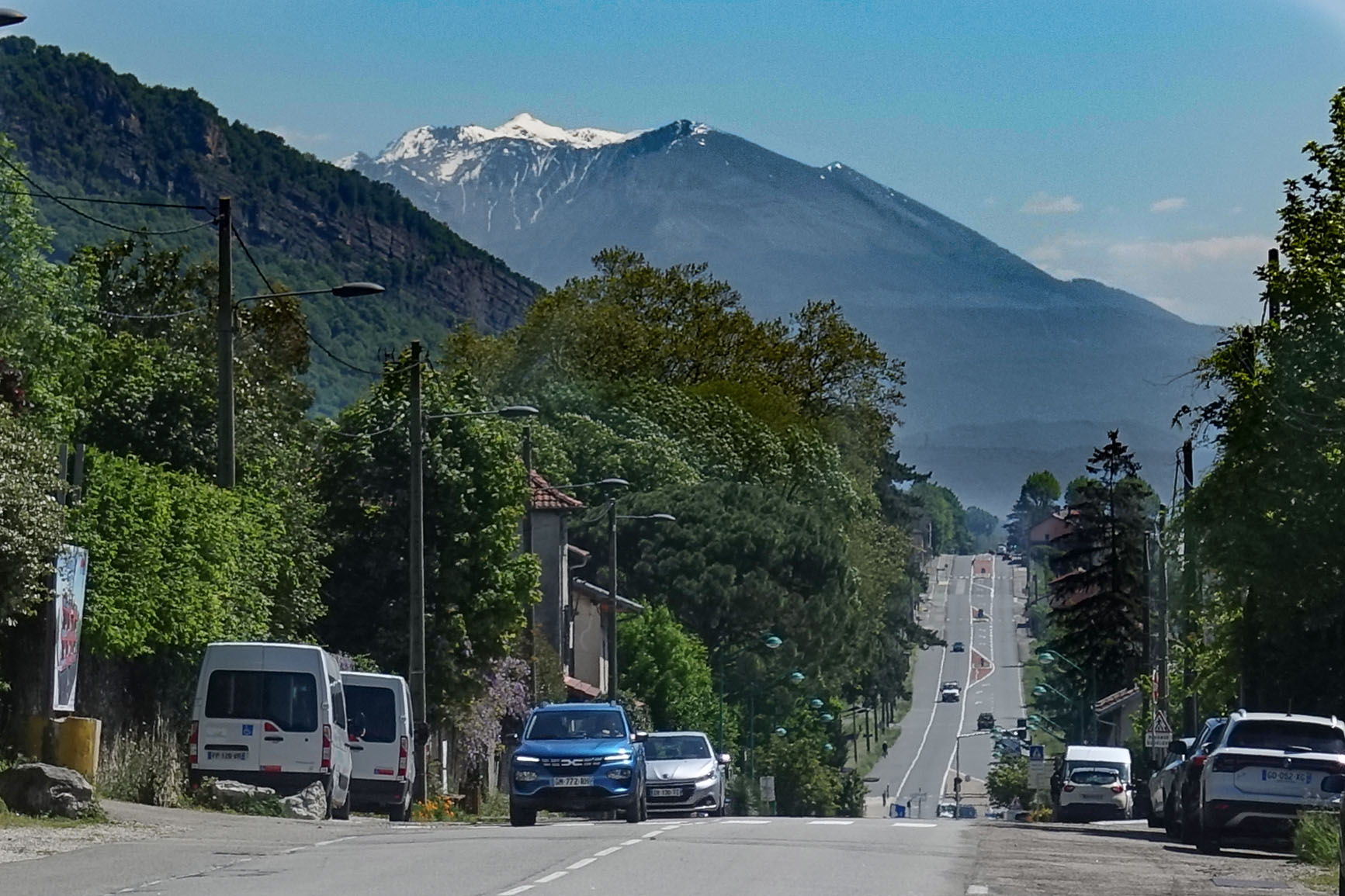
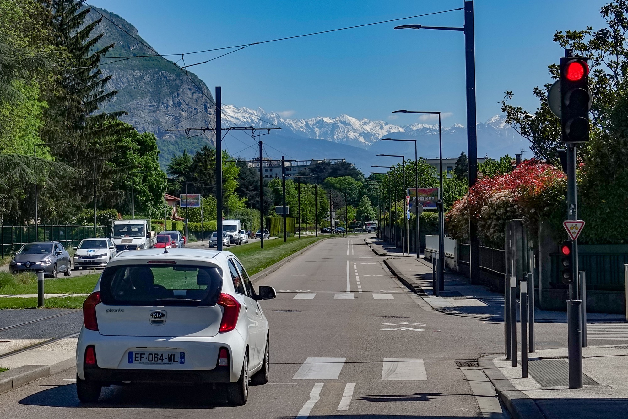
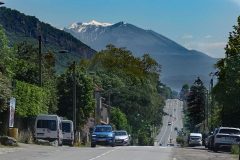
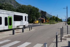
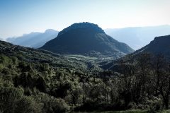
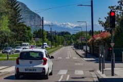
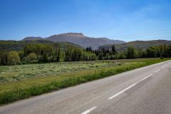
A very long, straight main road with cycle paths and trams in the middle followed the Isère river basin in the direction of Grenoble. I could see the heights of the Vercors to my right and the Chartreuse to my left, with snowy mountain peaks of La chaîne de Belledonne straight ahead.
My route turned off that main road towards la Monta, north of Saint-Egrève, where I’ve stopped. And somewhere ahead soon I guess is the climb to col de Porte, so I’ve stopped here in la Monta for a sandwich before taking it on. I’m sitting in the shade by a bus stop and there is a lovely warm breeze.
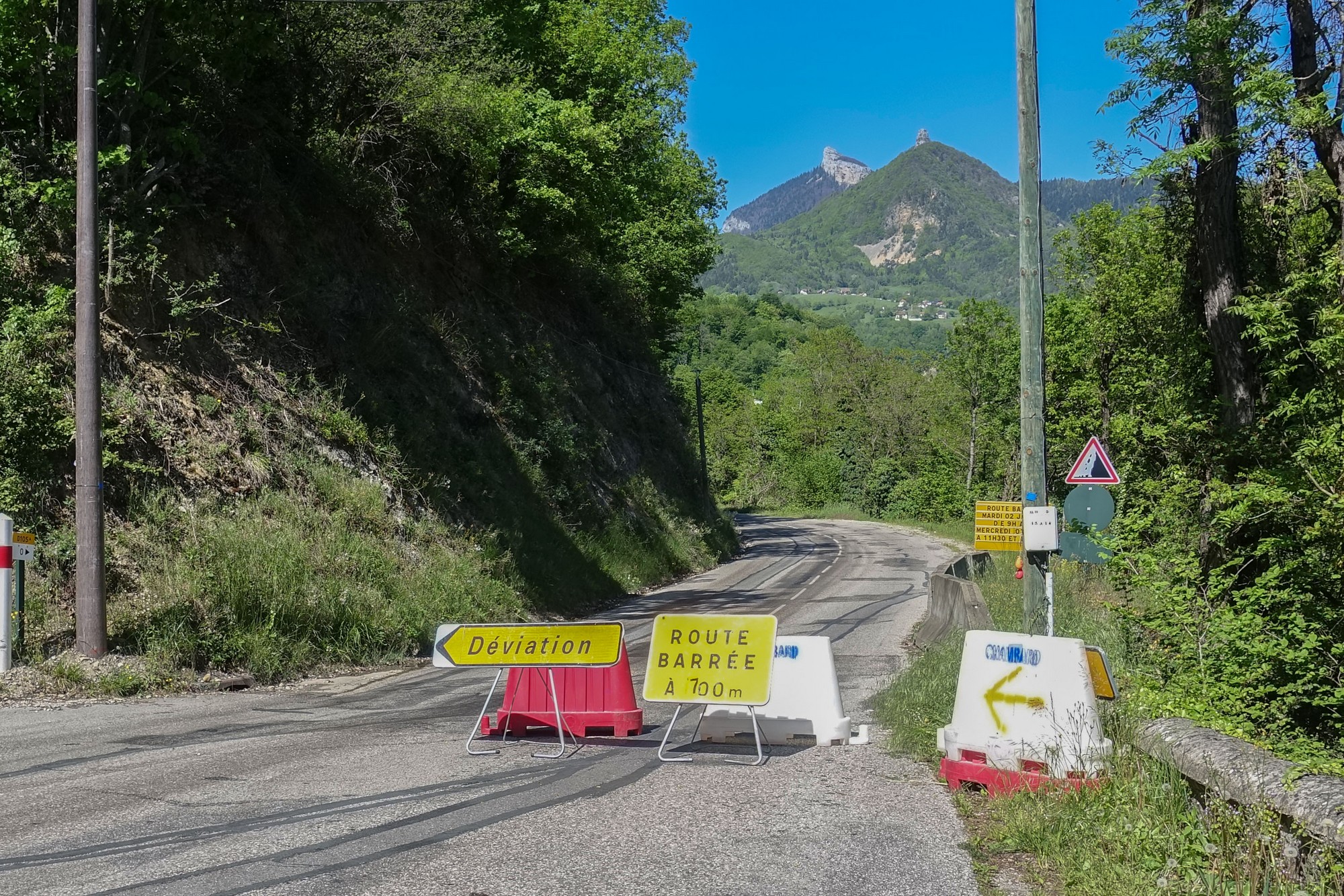
16:45 Since that last report things have gone drastically wrong. The road turned into the hills and almost immediately there came a ROUTE BARRÉE sign, which I ignored as usual.
The road climbed gently so I didn’t mind if I had to turn around and come back down again, but then luckily I saw two cyclists descending. I had a chat with them and they said the road is completely blocked and the workers won’t let you through because they’re resurfacing the whole width. One of them showed me on their phone map where we were and explained how to get round. I thanked them and went back down to where I’ve just come from and turned up another road which I thought went parallel to the other one all the way to col de Porte. But, after slogging away up the detour in the blazing sun (the first mile at 10%), I stopped and looked at my phone and realised that the detour was climbing up one side of a valley to a bridge across at the top and back down the other side to just beyond where I’d got to before the roadworks. So I’ve had a really massive and steep, in sections, climb. My Wahoo was reading 8 to 12%.
I’ve just stopped again and I think I’m just coming into Le Gua, which I’m hoping is the high point of this detour section. Needless to say the col de Porte climb is now really concerning me. I have enough juice at the moment and two energy gels left, which I’m trying to save, and I’ve just had a couple of paracetamol to ward off any effects of the sun, which is starting to get to me. Several cyclists have gone past me in this direction. So I’m now going to crack on and pray that Le Gua is the top of the detour.
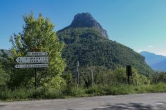
End of ride Just after that last report I reached Le Gua and it turned out that it was the place where the road finally crossed over the river Tenaison to the other side of the valley. The road ascended slightly after the bridge, which worried me, but then it was all downhill for the next 1½ miles ,to the point where I rejoined my original route. It was a bit gutting to see the sign pointing back towards Saint-Egrève indicating it was only 5 k away, even though it had taken me over an hour and a half to go up and down the detour up the valley.
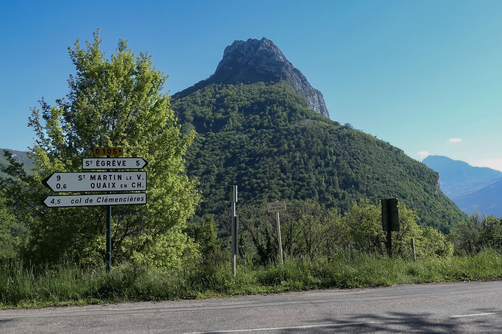
Also I didn’t see a corresponding ROUTE BARRÉE sign at this end – maybe in the time I’d struggled up and around the valley, the workers had finished resurfacing and gone home! I don’t know how long tarmac takes to cool. I didn’t want to think about it!
I was aware that this ride could take significantly longer than planned but I reasoned that I had until 9pm before the light faded.
The road descended for another mile and a half from that point down to where it crossed the river Vence, after which it started climbing again. Having seen no signposts to the Col de Porte I was eager to know whether I was on the right road and, if so, how far I had left to go to reach the col. So I stopped and got my phone out and, using Google maps and RideWithGPS, I saw that I had 10km to get to the col, which I rounded off to six miles. With two energy gels left I took the first one at that point, saving the next one for another three miles time which would be halfway up the climb.
The first mile was reasonable at around 5%, but the rest of the climb averaged 8.3% with first 3½ miles averaging 9%. The combination of the 5 mile detour (with it’s 8% avg climb) and the blazing sun conspired to make that 9% section a real struggle. I stopped a few times to cool down and compose myself. It seemed to take ages to reach the 3-mile midway point where I could have my last energy gel.
There were loads of cyclists around today. All said “bonjour”.
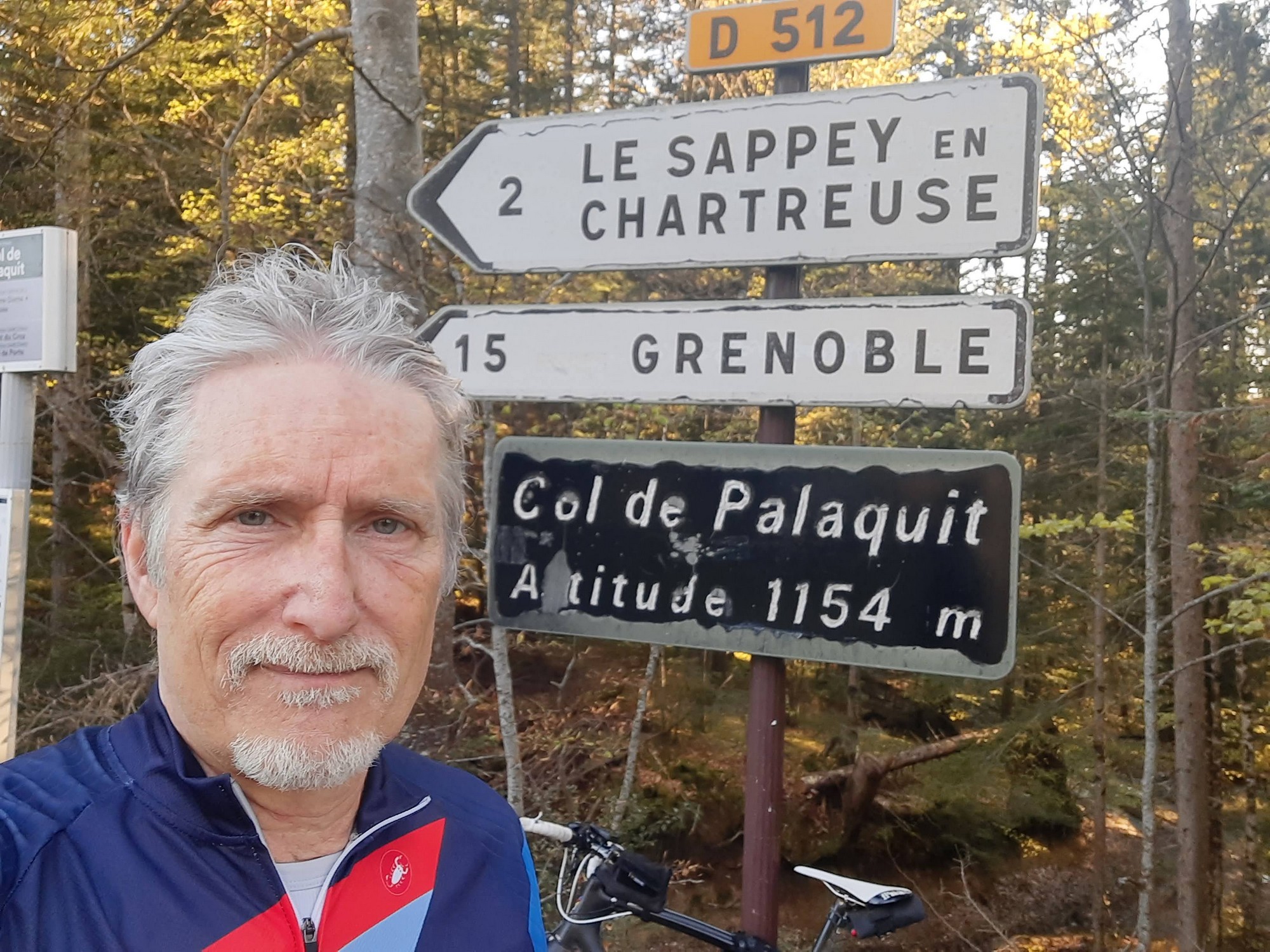
At last the gradient abated to about 6.5% for the last mile to col de Palaquit.
There the route joined another road to col de Porte, 1.6 miles further on. I found that last bit much easier, partly aided by the cooler air. It was now 8 o’clock in the evening.
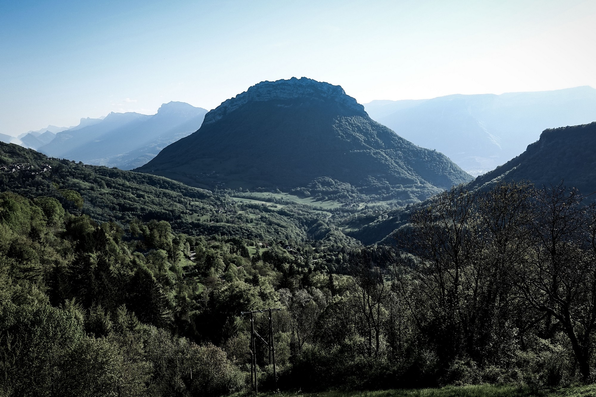
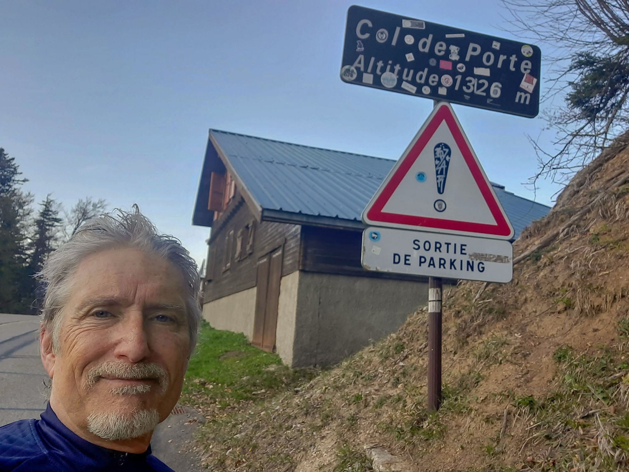
Eventually the col came into view.
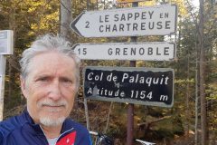
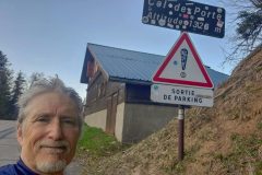
After the obligatory col photo I put on my arm warmers, rain jacket and mitts (I’d taken them off earlier in the ride to cool down).
The descent from the col was amazing. Very fast on gently sweeping bends and a great surface.
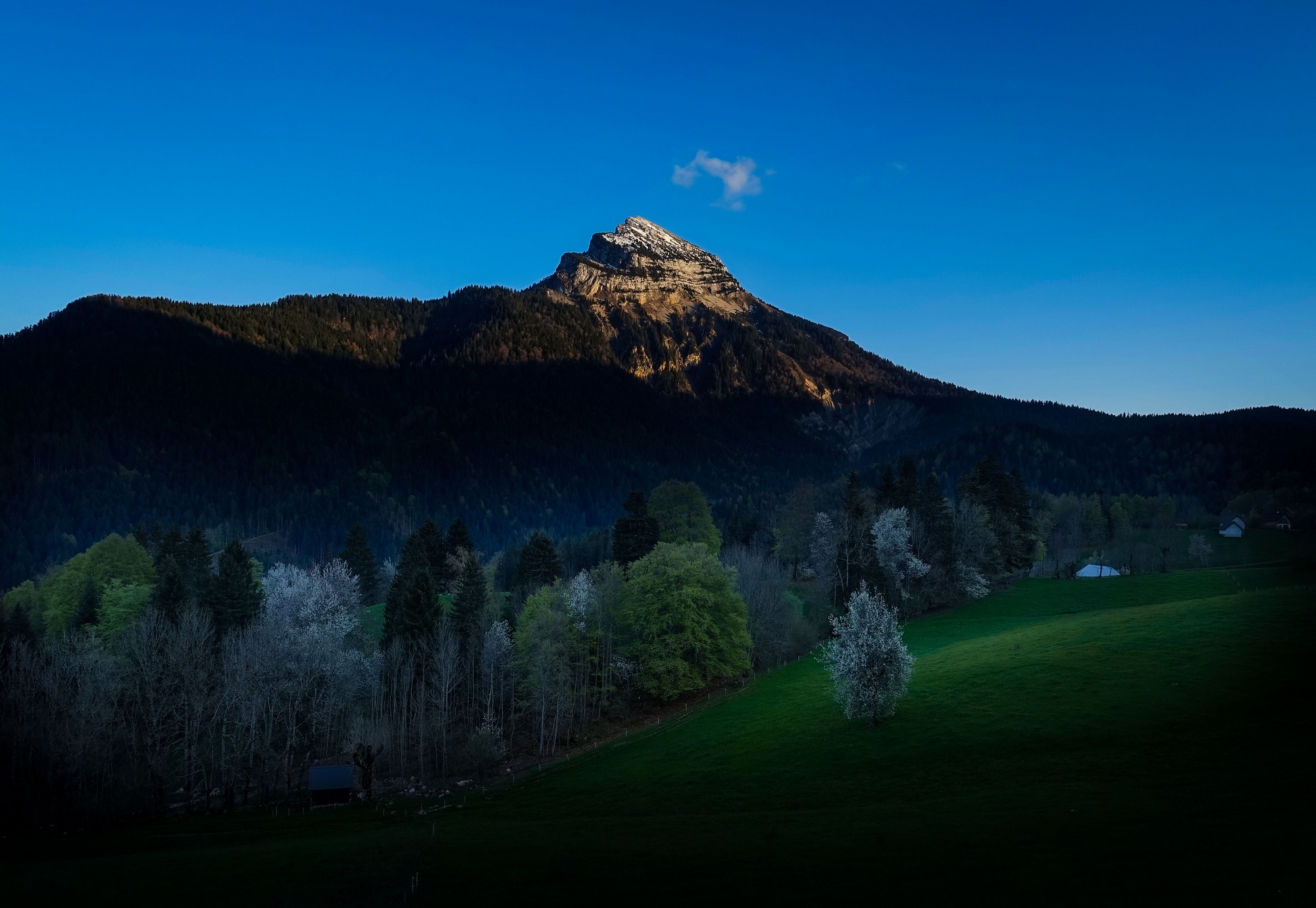
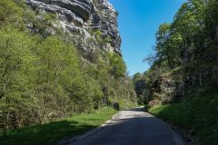
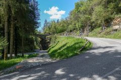
After a brief section of rough rural road, it was back onto smooth tarmac for a very fast descent through the forest to La Diat, where my route joined the D5208, which followed the Guiers Mort river along an amazing gorge (of the same name) that had everything: vertical rockfaces towering by the road, the river, bridges, tunnels, amazing-looking old disused buildings and some sort of small train (judging by the tunnel size).
Unfortunately it was too dark for photos and besides I was enjoying the descent too much and I just wanted to get back. I’ll try to visit that gorge another time.
It was past 8:30pm by the time I got back. Another day with moments where I didn’t think I had the strength to carry on comes to a close. As usual, it was all worth it in the end..
Fuel
Further reading
- Tourniquet de Pierre Chave (in French – right-click to translate)
- Chartreuse Mountains
- Chamechaude
- Le Néron
Gallery
Click to enlarge / see slideshow









Very nice report Vince. If you are ever back in that area you might want to climb to Charmant Som which is right next to col de porte. It is a tough couple of kms, but the view from the top on a clear day is amazing! You won’t regret it.
Cheers
Martin
Hi Martin,
Thanks for your comment. Your suggestion is uncannily timely, because I’m due to take on le Col de la Charmette this coming Sunday and I’ve also included an excursion to Charmant Som, and in my notes to myself I’ve said that I can leave that climb out if I’m too knackered by the time I reach it. But your recommendation will give me extra impetus to go ahead and do it.
Cheers
Vince