Distance: 42.7 miles. Elevation: 6845 ft.
The main target of this ride was Col de Sarenne. To get there, I designed a route to include two other 'features':
- Pas de la Confession A balcony road linking Huez and Villard-Reculas. The legend has it that the road was so dangerous that you were advised to go to confession before undertaking the journey! More info below.
- La Route des Travers Another balcony road, first brought to my attention by Andy (thank you) in the comments for this post
This blog post is based on reports made during the ride, with photos inserted at relevant points. I left for the ride just after 10 am, after a porridge and honey breakfast.
First report 12:12 This report coming from a slight descent on the way to Col de Sarenne and I'm finally out of earshot of the abomination that's Alpe d'Huez.
It's warm in the sun but the air has a slight chill to it, so I'm wearing arm warmers and a cap and a snood.
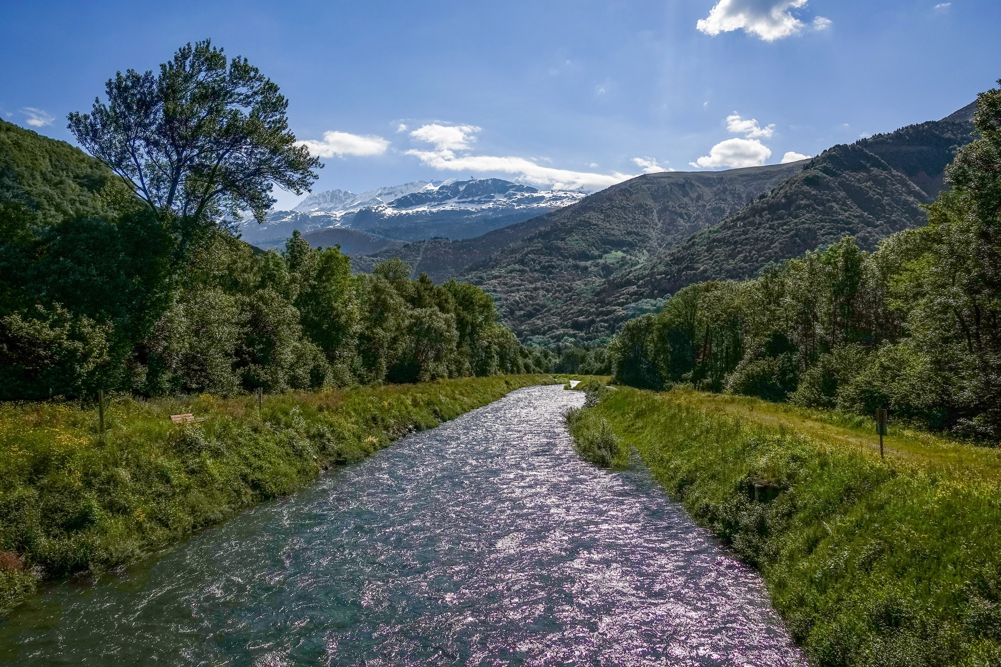
The beginning of the climb to Pas de la Confession was right on my doorstep, so just about a mile after setting off I started the climb. There was nothing remarkable about it - it was on a good wide road in forest varying between about 6% and 8%. I passed a few cyclists but there were very few on this stretch.
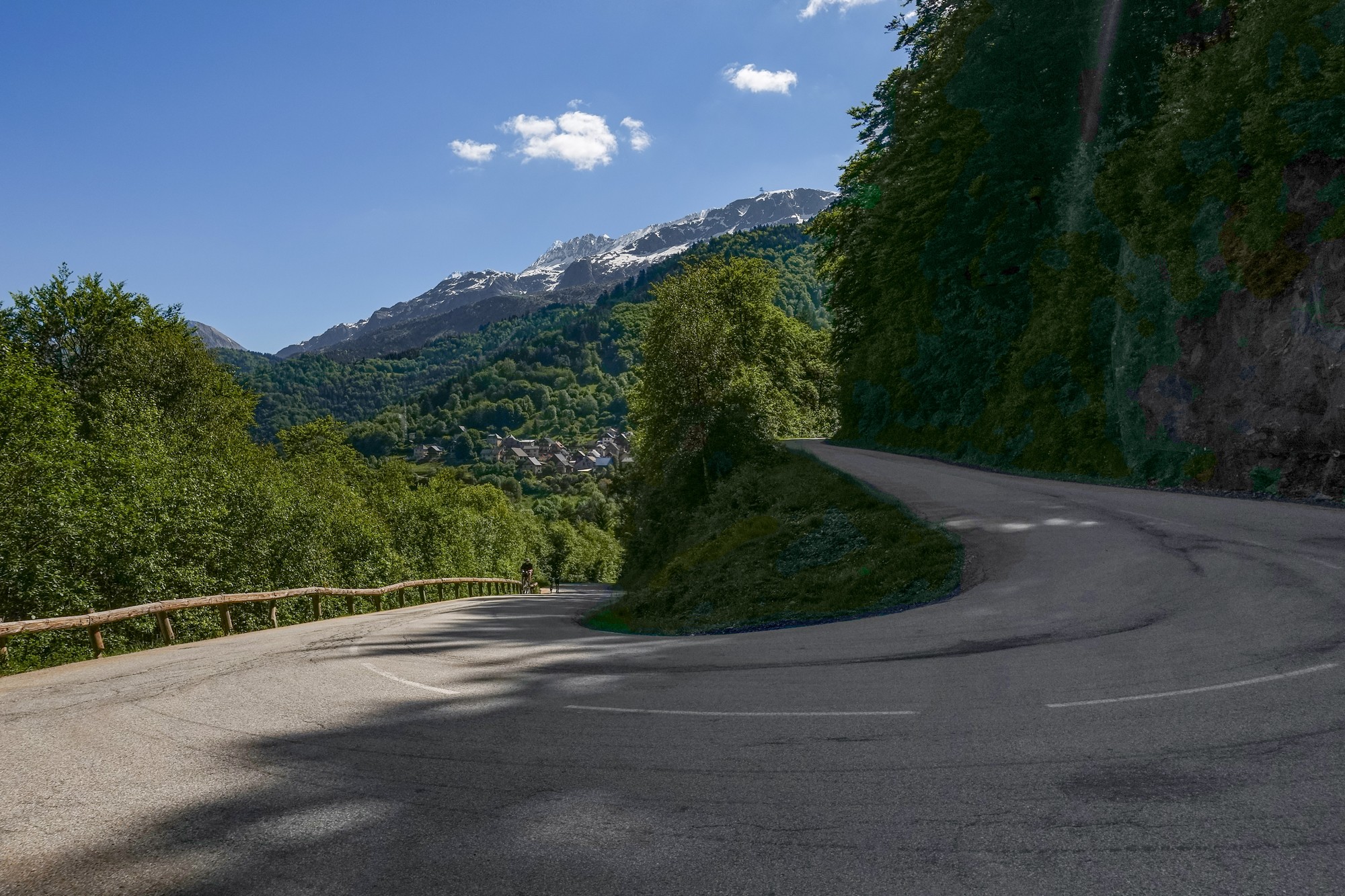
Finally, near the top, approaching the village of Villard-Reculas, the view started to open out across the valley.
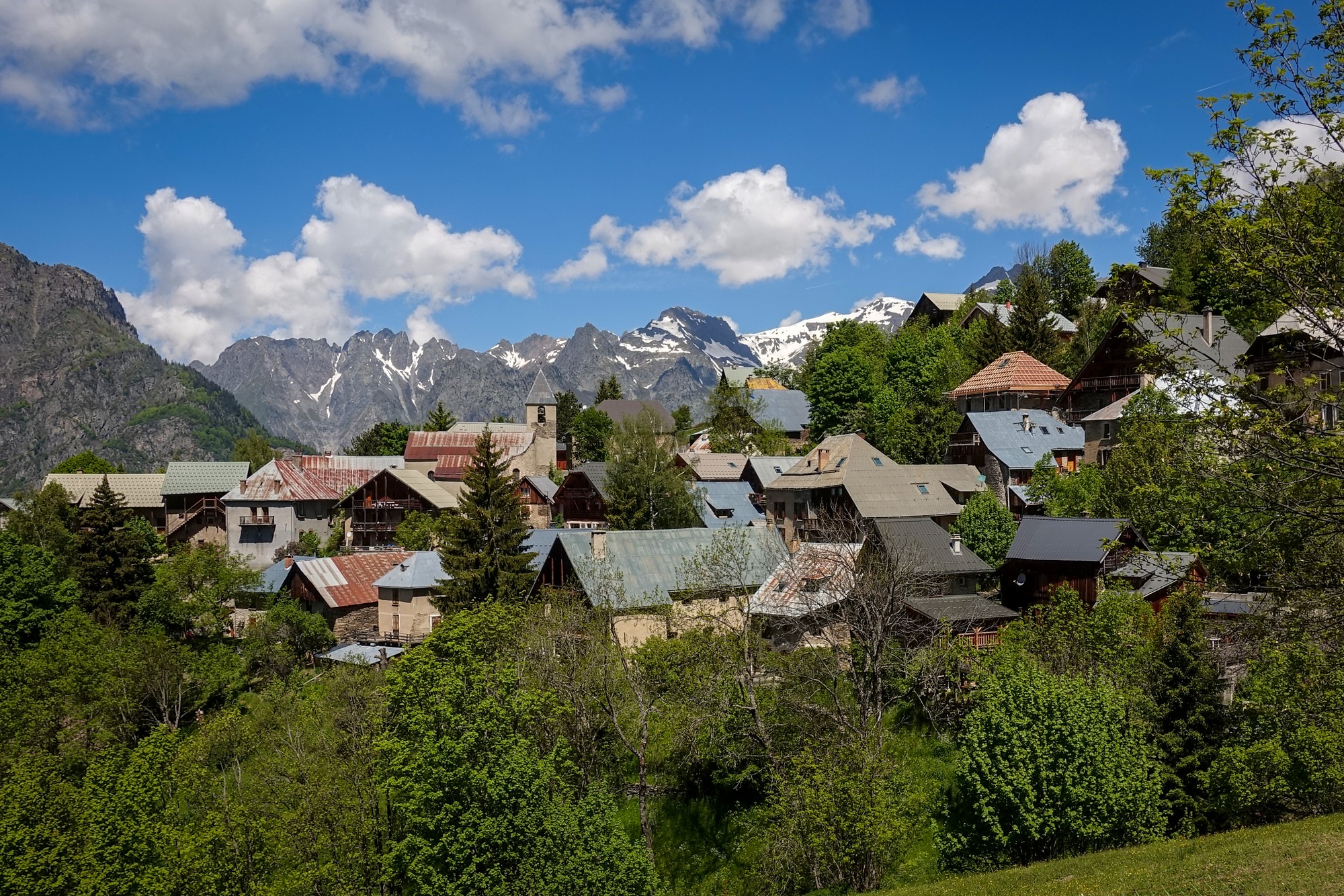
Just after the village of Villard-Reculas is where the main Pas de la Confession starts, and now I realise what they mean by the "old road". This is the section presumably where the old story comes from - When the road was first built it was considered so dangerous that you were advised to go to confession before using it, just in case...
The road starts out winding around the meadowed mountainside...
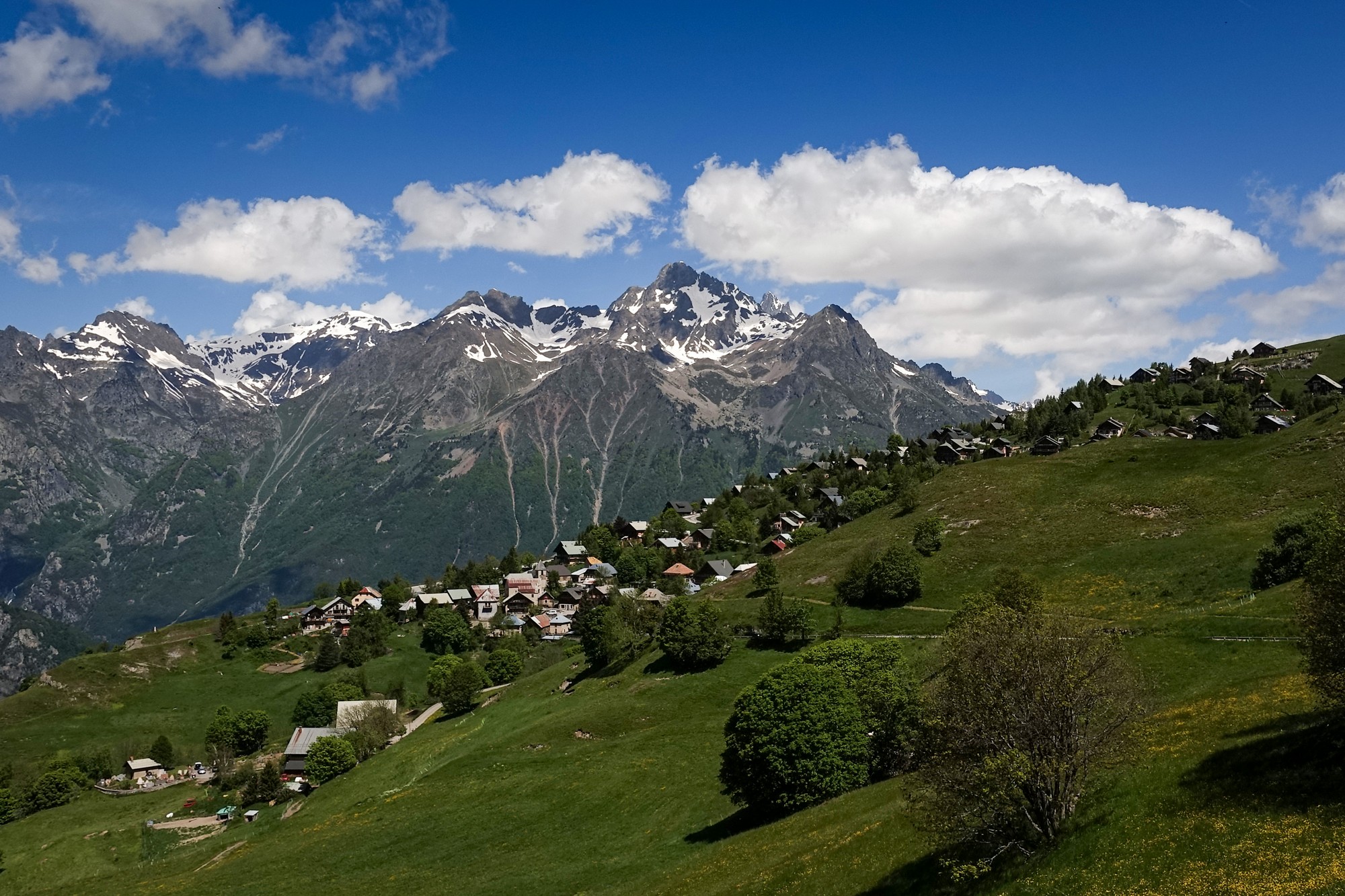
Gradually the drop to my right got steeper, with wonderful views over Le Bourg d'Oisans
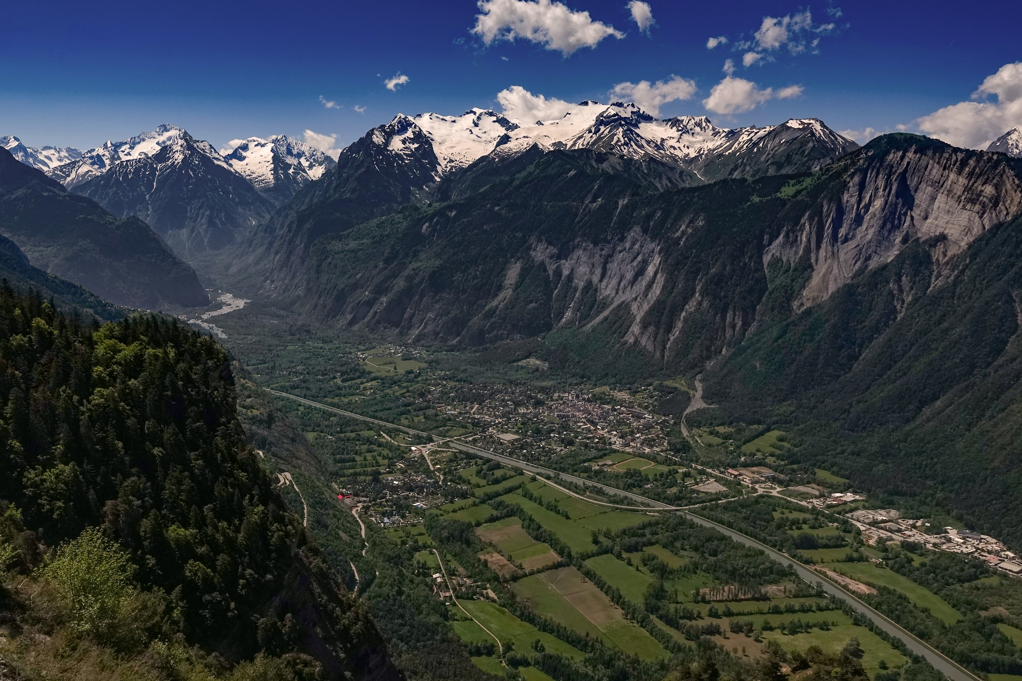
It looked like the low concrete barriers at the road edge were quite new so I'm wondering how recently they were installed and what was there before. It could be another case of 'dumbing down'.
Unfortunately I wasn't able to fully enjoy the whole of that section of road because around one bend I heard loud music blasting out from the bends of Alpe d'Huez below.
I thought it was just groups of people getting ready for tomorrow's big event (a huge dutch charity event called Alpe d’HuZes ), but when I came into Huez, there were hundreds of cyclists going by, obviously having just cycled up the hill.
I had to share the road with them for several hairpins, each bend having a group of people cheering and clapping, with loud music blasting out of PA systems. There was a different cacophany at each corner.
I was being cheered and applauded along with all the other riders. I was even being offered refreshments and things as I rode past.
It was absolute hell and I couldn't wait to get out of there.
I heard club mix versions of Let It Be, Hey Jude and Knocking on Heaven's Door, (which even had the stupid Guns 'n' Roses ad lib bit in it "Aye, aye, a-aye, aye aye..") - jeez! Three excellent songs completely mutilated!
After a while I saw that my route turned to the right, whereas all the riders for the event were going straight on. "At last" I thought, I'm able to get away from this lot, and a few bends later I could barely hear the music.
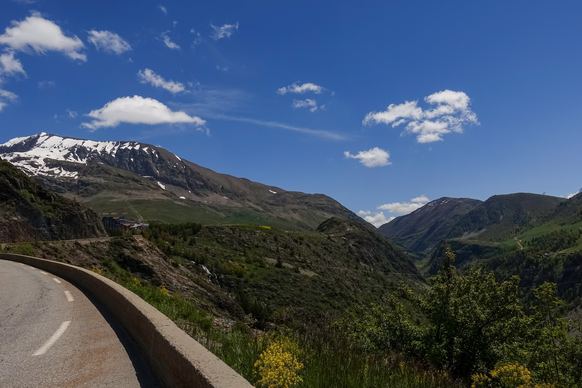
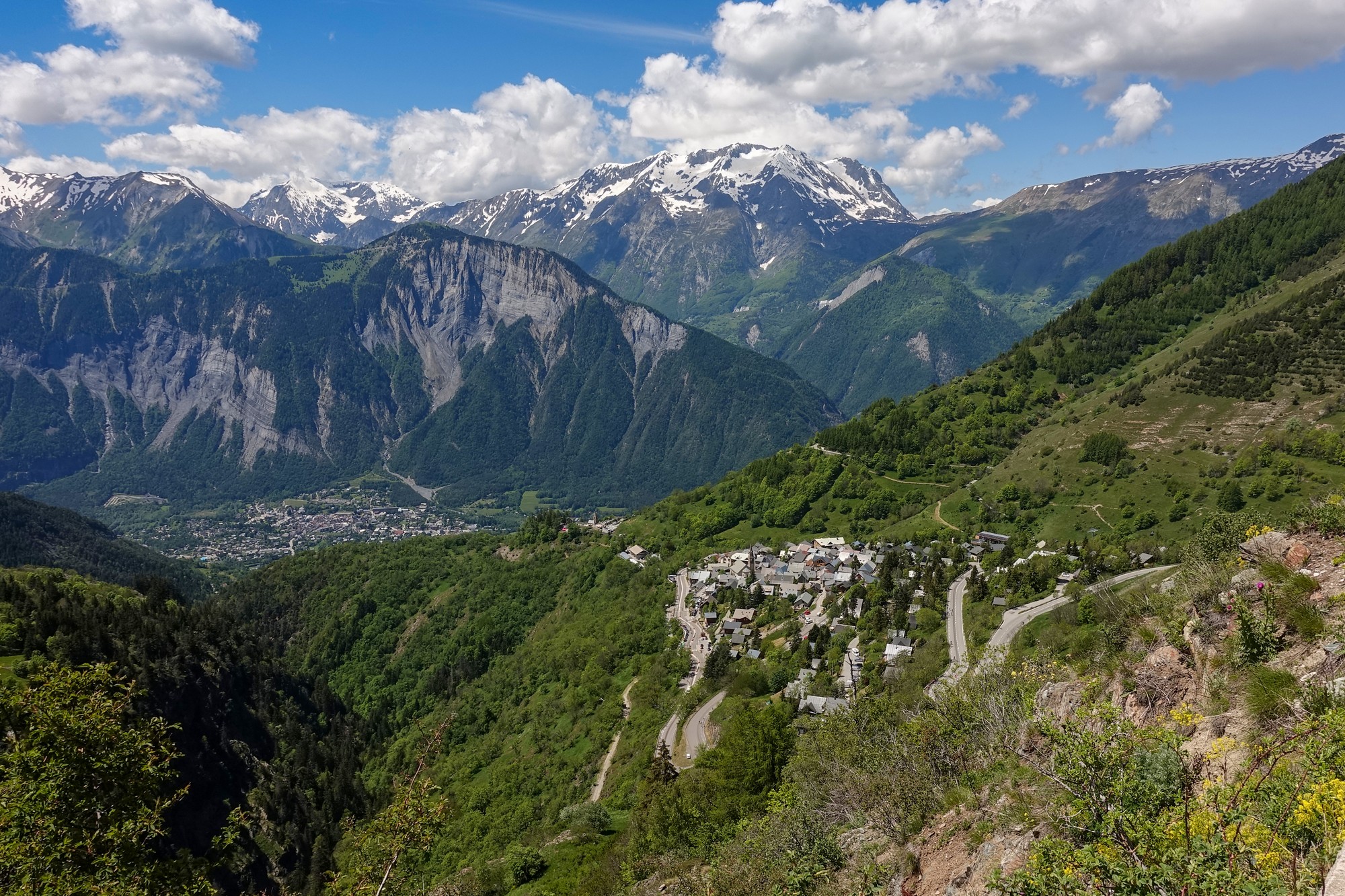
Unfortunately the music came into ear-shot again and was audible for practically the whole of that climb to the eastern end of Alpe d'Huez and out the other side. It has only really stopped now that I'm on a slight dip on the way to Col de Sarenne.
Most of the earlier climb was in shade, luckily. I wanted to find some shelter to eat my sandwich but out here there's not a piece of shade to be seen and I think I'll be in the sun all the way over the col. But I'm just happy to be away from the racket. I'm sitting on a bench doing this report, eating half my CST sandwich, while taking in this glorious view.
Second report 13:34 (coming from part way down the Col de Sarenne descent). There were quite a few cyclists and runners at that last place where I gave the report. The road beyond that point dropped down significantly, which was a worry, but after that it just became more and more wild and beautiful.
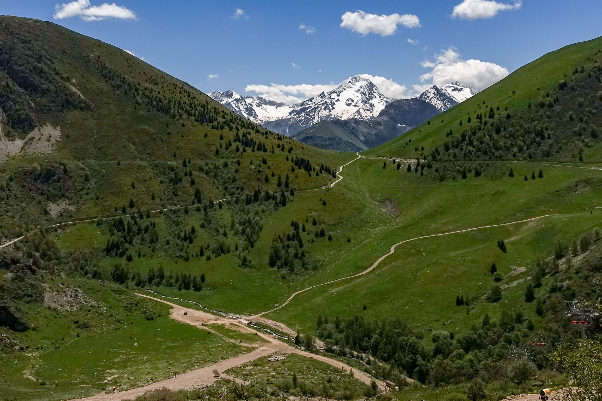
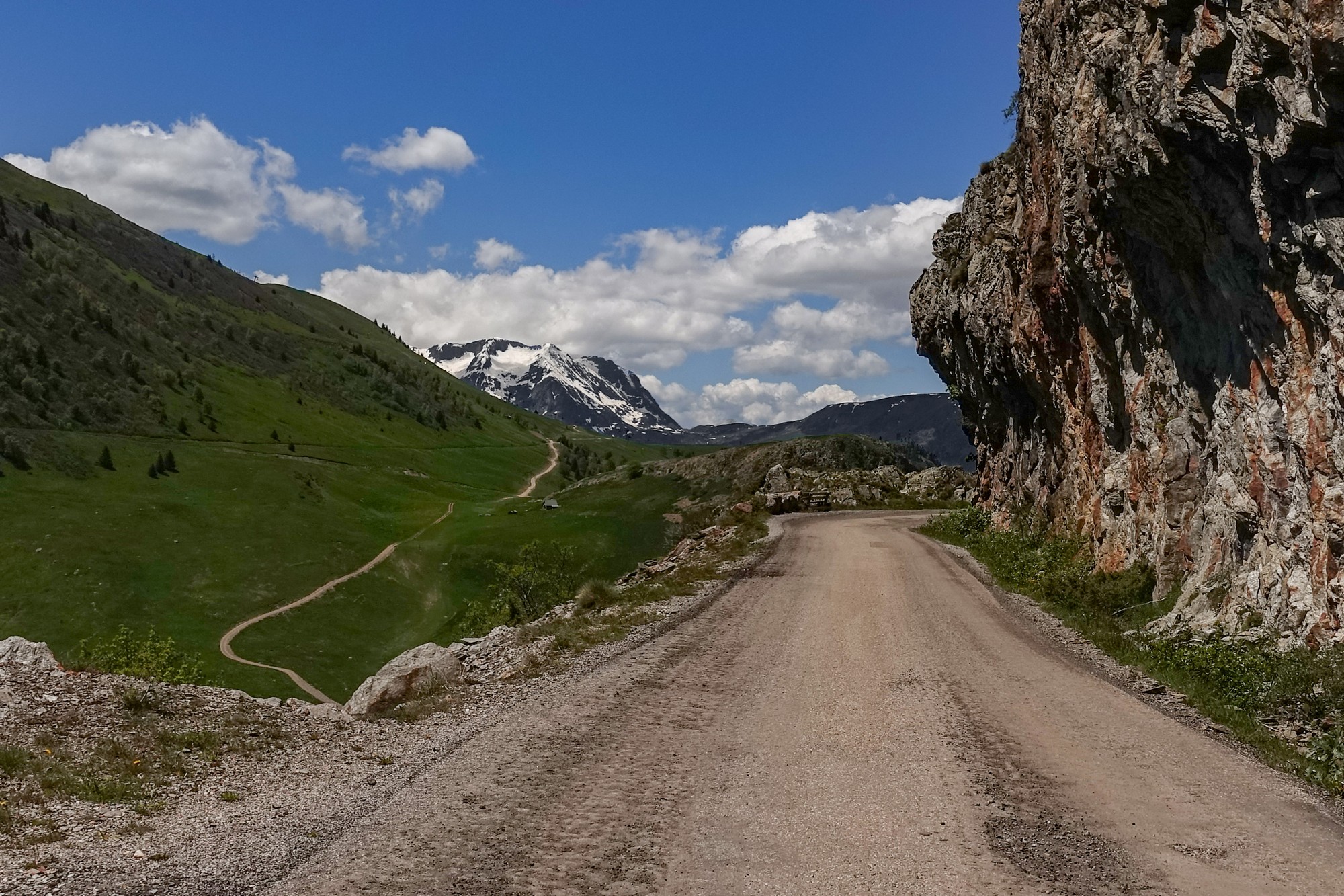
There was a bridge going over a noisy stream. Up to that point I'd heard the rushing of the water next to me all the way up the climb.
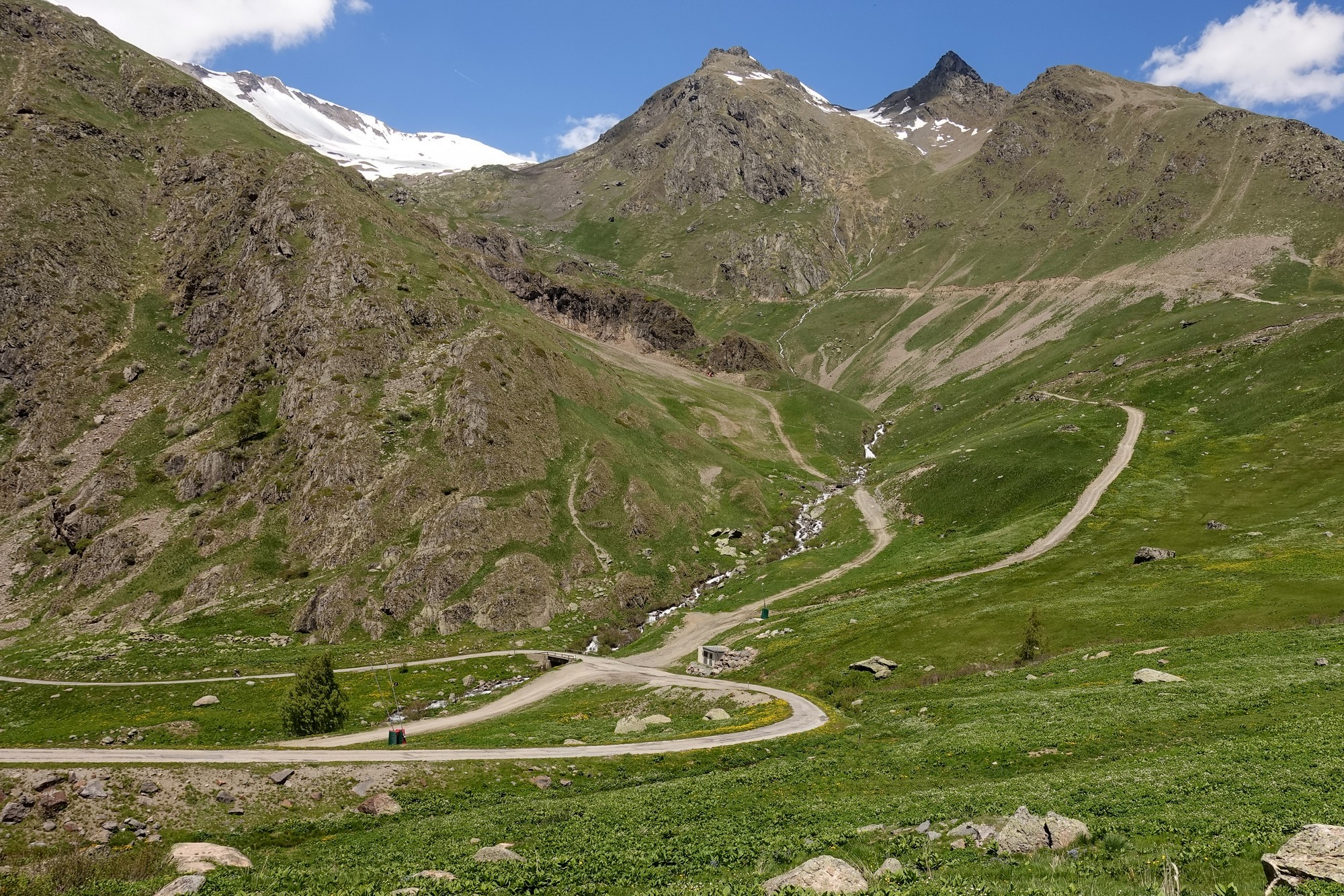
It was quite even for a bit but then started climbing. I saw some cyclists in the distance, descending, so that gave me an indication of where the road was. [Unlike descending, where you can often see the whole road laid out in front of you, it's quite common on ascents for the road to be practically invisible, and is often a matter of guesswork as to how the road gets over the mountain].
Soon I was on that bit myself. It was about 8%. I was in first gear. I saw a sign which I quickly read as I passed, and I thought it said one kilometre to the col. That was a massive relief because in my mind it could have been another hour away as far as I knew, so I switched my Wahoo to the elevation page and I could see that it was steep for the bit I was on and then gradually eased up towards the top.
Twenty minutes later I had reached the col
Well, if I thought the first side of that col was nice, the second side was just beautiful - really wild, and plunging steeply down into the middle of the mountains again, like the descent from Col du Solude.
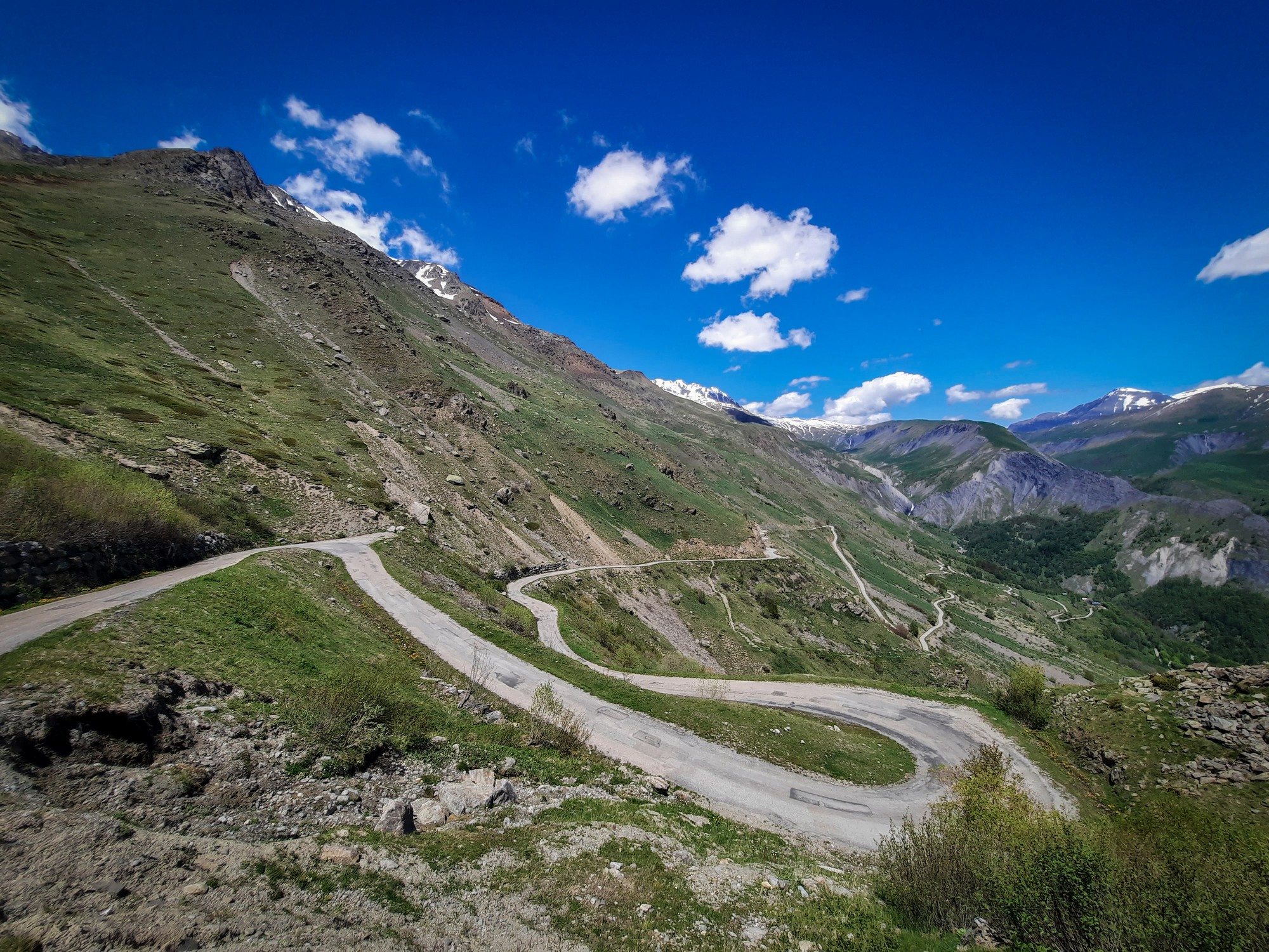
The air is warm enough for me to be descending without my rain jacket. In fact this side is so steep that you can't go very fast anyway and there are patches of gravel all over the road.
That first bit of the climb on the other side, coming away from Alpe d'Huez had a very bad road surface, with potholes and irregularities. Whereas this side is better with some well done repairs on it, but the patches of gravel are really dangerous.
I just stopped for a photo and spoke to a cyclist who was having a break from the climb because the gradient was getting the better of him. When I get back I'll have a look to see how steep it is - I saw a sign at the top that said 12%. I'd had a tailwind up to the col so I suggested to him that the headwind for him must be tough, but he said he didn't mind it as it helped to cool him down.
So in terms of being wild and natural this col is certainly one of my favourites - it has elements of the Bonette.
So it has gone from one extreme to another - from the hideous abomination that was Alpe d'Huez to the rugged, peaceful beauty of this side of the mountain.
Final report (from end of ride)
The road descended steeply with all those giant mountains around. Gradually the odd tree started to appear. Then there were some farmsteads.
Then a village, Clavans-le-Haut, and the road surface is now pristine all the way down. At Clavans-le-Bas I topped-up one bidon with 'eau potable'.
Some of the road was through forest.
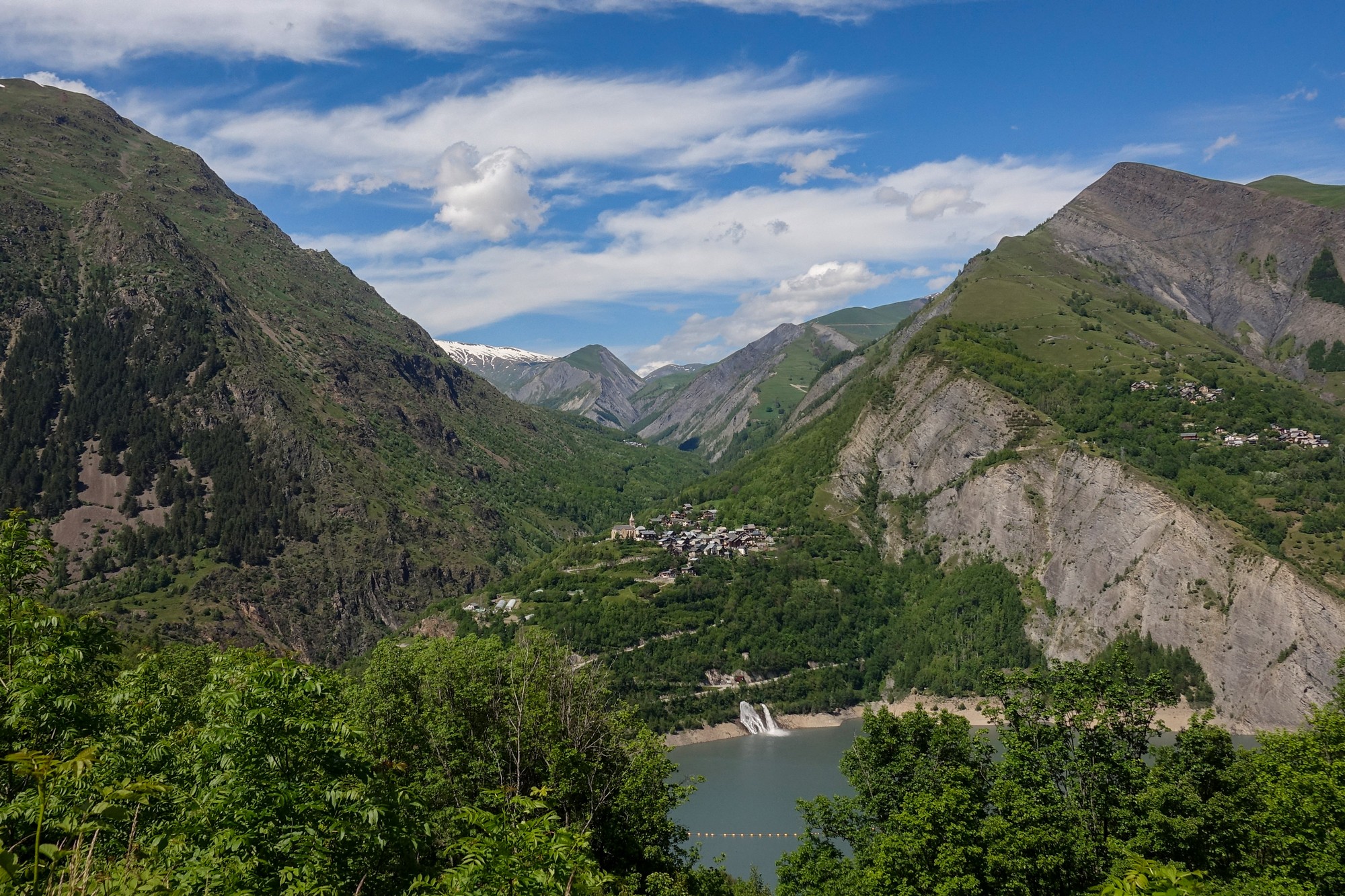
Just the other side of Mizoën, I sat on a bench overlooking Lac du Chambon and the dam.
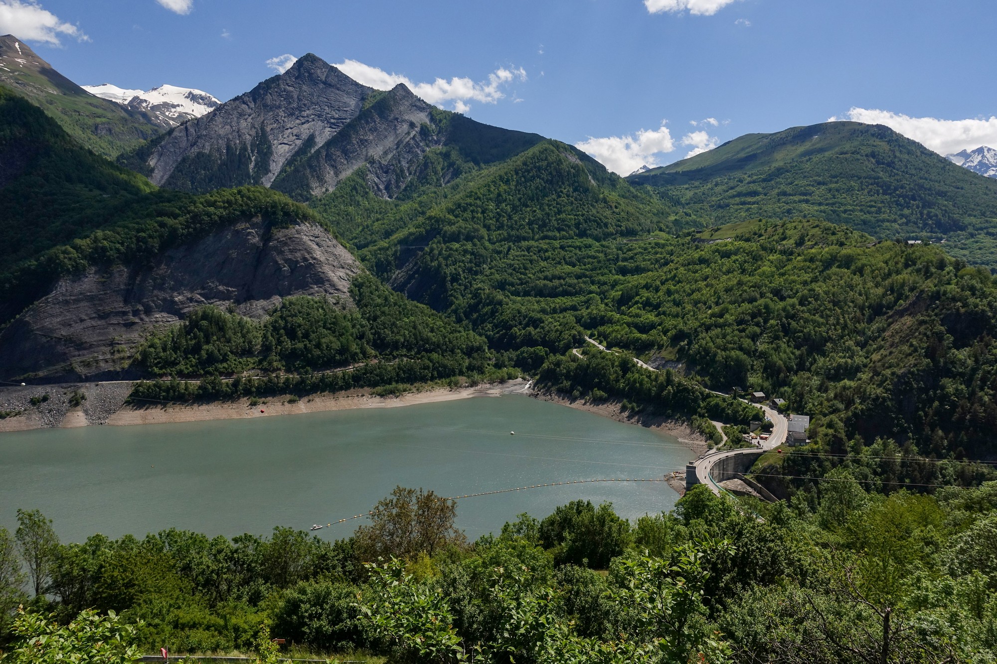
I had been considering cutting out the climb to Les Deux Alpes because of feeling tired. So I looked on my phone to see how tough the climb was. It didn't look too bad and I felt a bit better after having the rest of my sandwich. So I had another energy gel and another couple of paracetamols and set off across the dam.
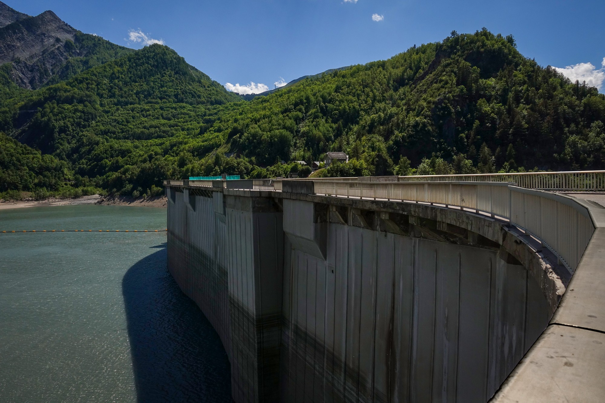
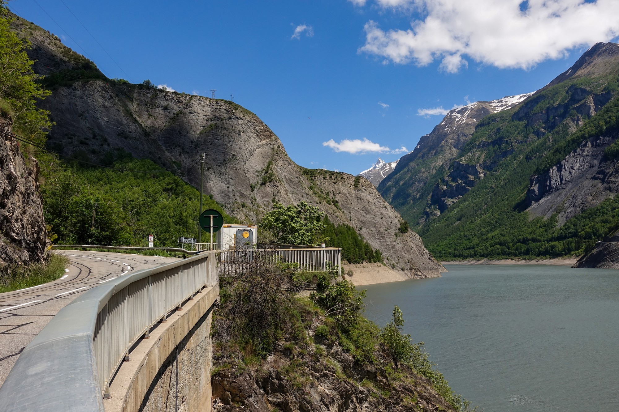
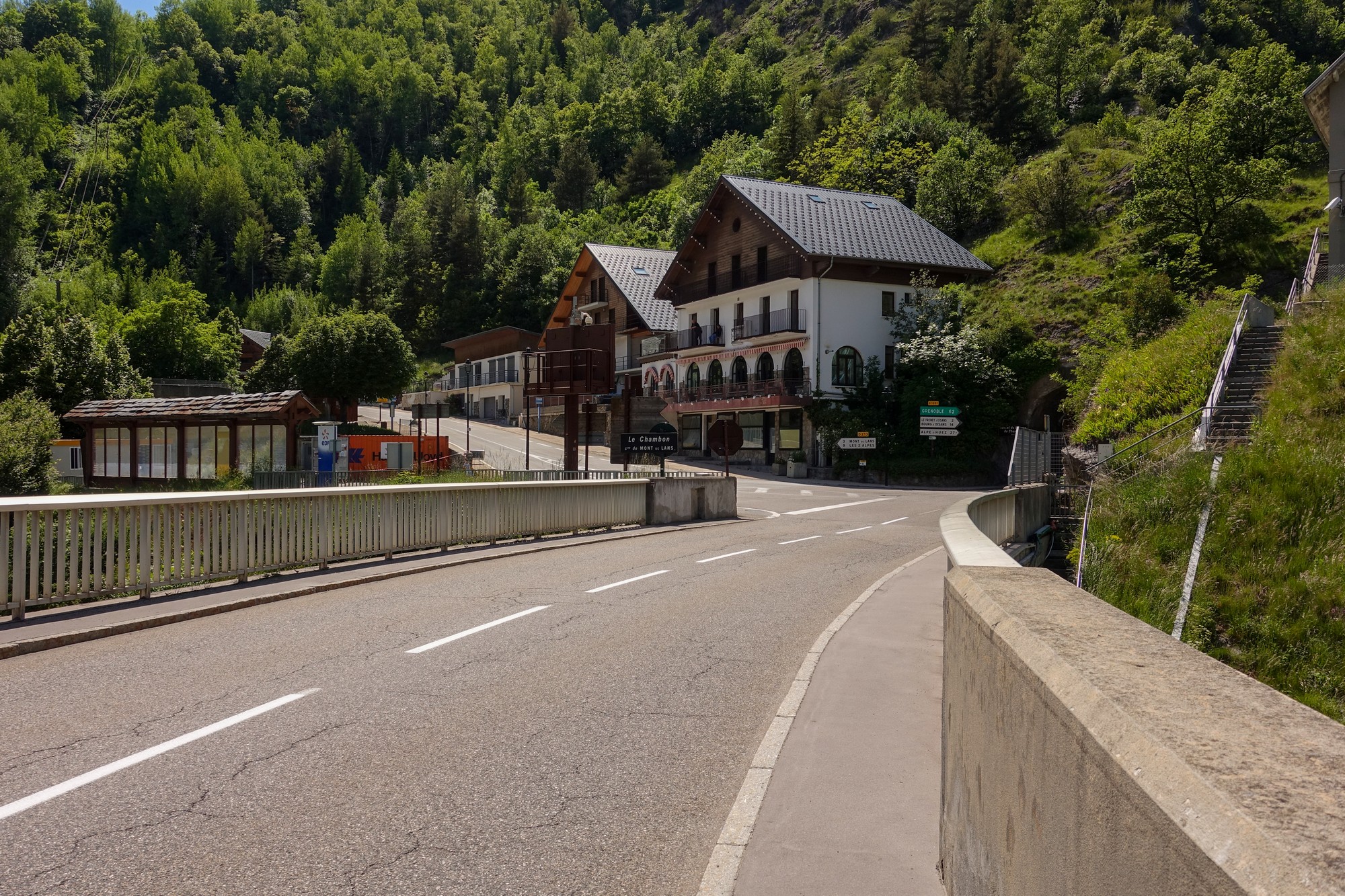
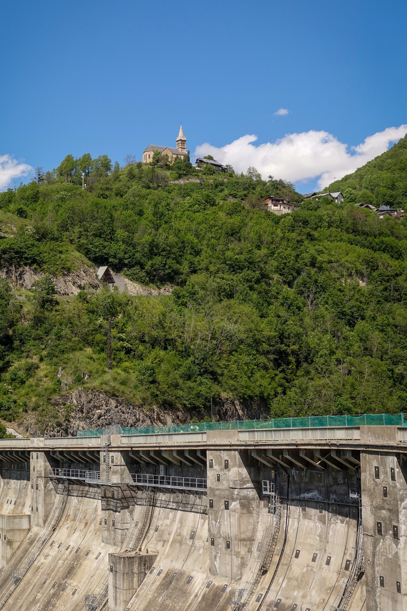
The climb to Les Deux Alpes started immediately. Most was in full sun at first, but luckily some stretches were shaded. I took my cap, snood and arm warmers off (even though they had been rolled down) and stuffed them in my back pocket. It was a wide road with a perfect surface and a cycle lane at the side. Just over two miles at 6.5% took me 30 mins.
When I reached the top of the climb my Wahoo said "Finished!". I assumed it meant that I'd finished the climb, but I soon I realised it thought I had finished the whole ride. There was no route showing beyond where I was. So I reloaded the route and after a while it got itself together and I carried on to the turn off for the D220, Route des Travers, which came up straight away. It started off through trees. Soon it became obvious that the road was on the edge of a big drop. Then the balcony road section revealed itself.
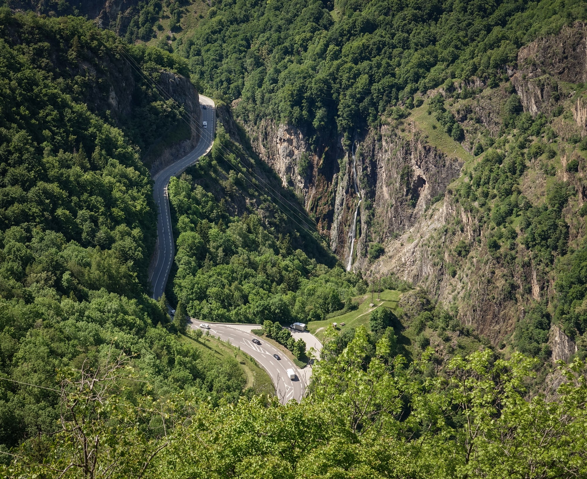
Obviously I stopped for loads of photos. There was a massive view down to the road in the Romanche valley that I'd taken on returning from my D221a ride.
The balcony road section eventually petered out. After that the road decended through forest and at one point I just happened to glance up and I saw the road I'd been on way up the rock face. It seemed surprising that I had descended so far already.
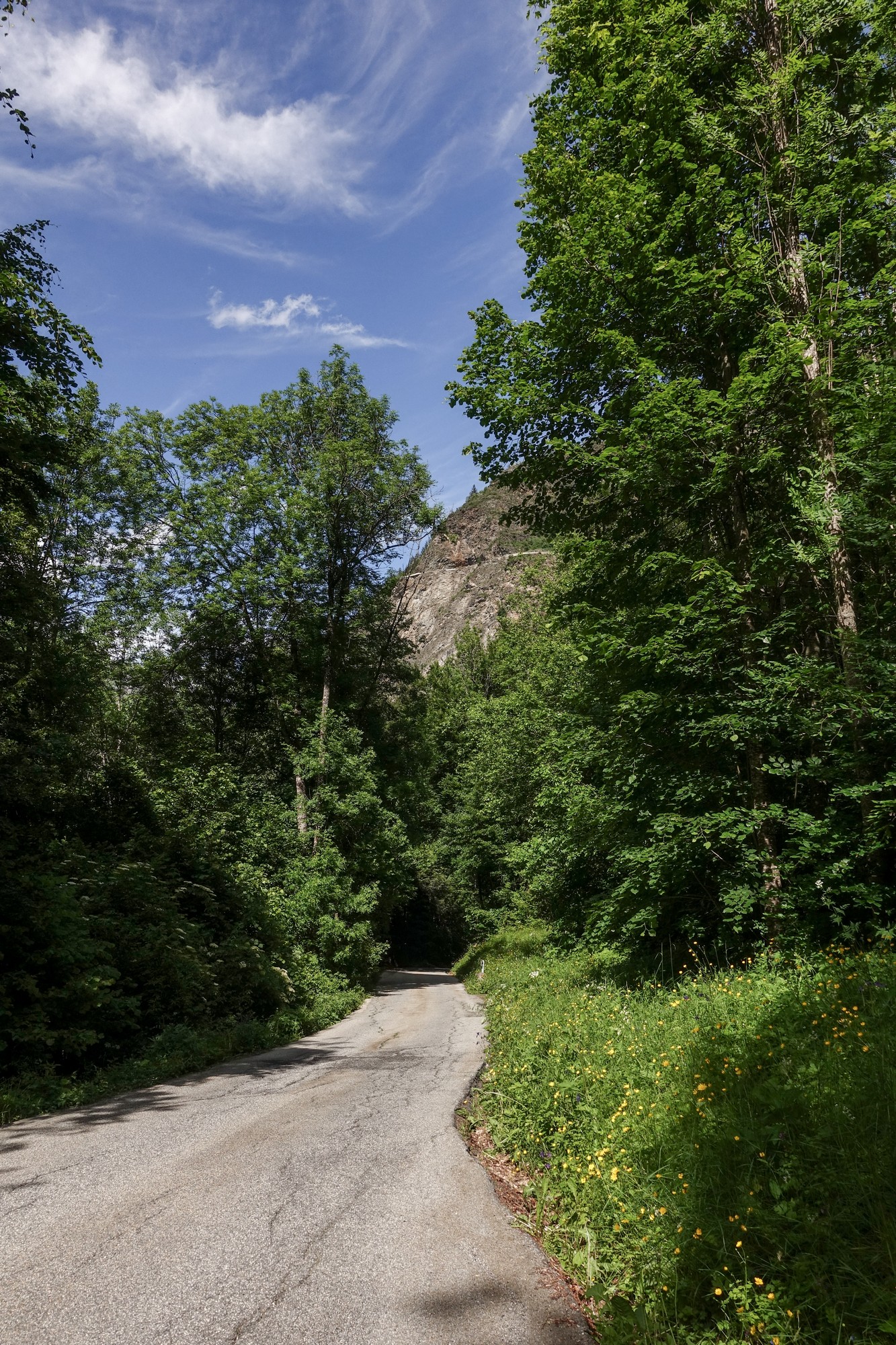
Soon the road re-joined the main valley road. There was lots more traffic about. There were traffic lights and one-way only through the tunnel. Then a fast descent down to the flat straight road to Le Bourg d'Oisans. In Bourg I'd planned to ride along the Voie Verte (Green Way) but couldn't find how to get to it. I asked a couple of french ladies on bikes where it was. Even though it was the wrong way for them they kindly cycled back and showed me where it was.
The well-surfaced path ran alongside the Romanche river and was much nicer than riding along the main road like I'd done the previous day.
So I have ticked-off several longstanding destinations on today's ride. The icing on the cake was Col de Sarenne. I'd like to do it again one day from the other side.
Ride Notes
- Pas de la Confession A beautiful stretch of road with astounding views, somewhat ruined for me today by the large, noisy event. The road up to Villard Reculas was fairly average, but I discovered later that it was only built in 1980, before which le Pas de la Confession was the only way to the village. More info here. It had not been as hair-raising as I had hoped; maybe much of the danger has been removed with the installation of concrete barriers. But remember, this ride came a day after my ride along the epic balcony road to Villard-notre-Dame, so inevitably it pales next to that. But, as I always say, I've been spoilt for choice in this area and I would willingly pay to ride on a road like this if it were available in the UK!
- Alpe d'Huez No comment
- Col de Sarenne A beautiful wild col without commercialisation, shops, ski infrastructure, etc. Just the way I like it. The first three miles from the east-end of Alpe d'Huez are gently undulating along the Sarenne valley, then it's just under a couple of miles at 8% avg to the col. The other side descends for 4½ miles at 8.5% avg (with steeper bits) to the first village and then an undulating descent of four miles down to the lake, with some steep sections. It would certainly be much more of a challenge climbing from that side.
- Route des Travers Another small section of balcony road with astounding views over Gorges de l'Infernet and across to the mountains opposite.
Fuel
Gallery
Click to enlarge / see slideshow




Well c’est domage Vince, just as you were about to go knocking on heavens door, you had to let it be, perhaps a prayer to St. Jude would have helped!
I’ve ridden this in the opposite direction from Allemond taking the balcony road from la Garde to Mizoen a couple of times and it’s among my favourites for sure. Ascending the sarenne is not really difficult you would have no problems there and then you’re rewarded with the big downhill blast through the Alpe. I wasn’t aware of the Route des Travers but it looks like a great addition to an already nice loop. Did you notice if the road to la Berarde is closed?
Cheers
Martin
Thanks for your wonderful comment Martin!
That loop you mention was no doubt an excellent day out. I’m trying to plan a route that incorporates the gravel track north of Auris over Col de Cluy and the NE ascent of Sarenne.
Regarding La Bérarde, this Col de Sarenne ride was back in June (I’m still catching up with the blog!). A couple of days after I left Allemond and moved to Briançon, there was a massive storm, the damage from which forced the closure of the road to La Bérarde. I was gutted to hear that – it’s such a beautiful route – I hope they manage to restore it to its full glory. Coincidentally, a couple of days before I left Allemond I was enquiring of the campsite owner if she knew anything about the landslide on the Col de la Croix de Fer road that happened several decades ago. She didn’t (probably too young anyway), but mentioned that the road to La Bérarde was often suffering closure due to landslips (or flooding, I can’t remember what she said), which is something I had no knowledge of. Then just a couple of days after she’d said that came the storm! I’m afraid I don’t have any further information about it currently.
Elsewhere in the Alps, the Col du Parpaillon tunnel is closed because of a landslide, and on the NW corner of the Vercors a huge landslide has forced the closure of the main road.
Nothing lasts forever. I feel I need to get all my rides in while the Alps are still standing!
Cheers
Vince
Thanks Vince, that’s great information. I’m not sure if I’ll make it to the mountains this year, but if I do I’ll be sure to put on some gravel tires. Seize the day!
In June 2013, myself, four mates and our wives travelled from Australia and spent 10 great days in Bourg d’Oisans. None of the wives rode but drove along our cycling routes as support.
We climbed and descended the Alpe d’Huez a couple of times and explored most of the climbs in the area. My favourite was the ride, anti-clockwise from Bourg d’Oisans to Alpe d’Huez via Mizoen, Havans and up to Sarenne then on to Alp d’Huez and down to Bourg d’Oisans. Climbing the Col de Sarenne was probably the toughest I’ve done but gee, it was so satisfying. I must admit, to see the small sign at the top of Sarenne reading 1,999m, was a tad frustrating at first as surely another metre wouldn’t have stretched the truth that much! HAHAHA!
Anyway, it was a great ride and probably a bit safer than riding down the way we came! Highly recommended.
Thanks for your comments Phil. It’s always interesting to learn about the experiences of others. Good to hear that you spent so long in the area. There are so many great rides around there. I’d like to climb the Col de Sarenne from Mizoën, like you did. It’s so much wilder, but the road was quite gravelly that side when I was there, which made for a careful descent. And yes, the 1,999m is frustrating, especially for me, always on the lookout for the 2000m + cols to add to my list as part of my membership of le Club des Cent Cols.
Keep the rubber side down..
Cheers
Vince