Distance: 48 miles. Elevation: 7307 ft.
Col des Saisies | Col de la Lézette | Col de la Forclaz de Queige
The focus of today’s route was Col des Saisies from Beaufort. I added on a couple of other nearby cols and a loop via Col de la Forclaz. It would be a tough ride with much climbing, so I also factored-in a ‘get-out-of-jail-free’ option at the 21.4 mile point (I made a note in case I needed it) where I could cut-out the remainder of the descent to Fumet and go instead via Crest-Voland, which would also cut out a very steep climb from Gorges de l’Arly.
I started the ride early at 8:30 because there was a forecast for rain later in the afternoon. Porridge and honey was my pre-ride fuel.
I wore long-sleeved jersey, but with a short-sleeved base layer and arm warmers. A weird combination but thought I could remove the arm warmers if I got too warm. Also started with my rain jacket on and cap and snood round my head, and long-fingered gloves. It wasn’t warm this morning.
The air was cold and damp, the sky dull, with clouds hanging across the hilltops all around. The first mile or so was a slight descent down the main road to the turn off for the climb.
The climb started off in the forest and the effort soon warmed me up. There was no wind. It was just still, cold, damp and dull. Just the sound of my breathing and the somewhat muted birdsong from the forest.
Today was not a day for lizards and grasshoppers on the road ahead, just the occasional black slug feeling at home on the still wet patches of road.
I could see snow and clouds over the hills and I wondered when I would reach cloud level.
Eventually I did. The road up ahead was misty and I knew I’d entered the clouds. It was very murky for a while until I reached Hauteluce, after about an hour of climbing, when the air cleared somewhat.
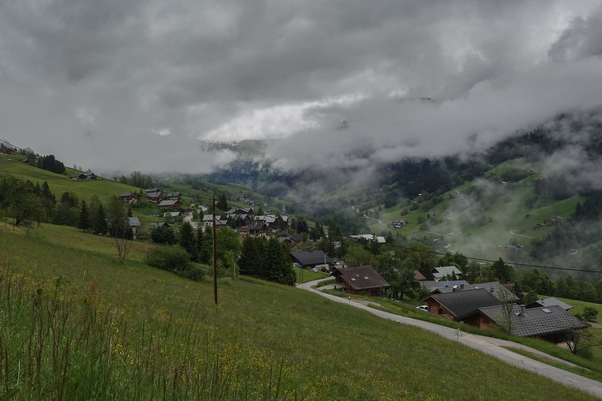
It was still very quiet in the village. The only thing breaking the silence was the distant sound of cowbells and cockerels from across the valley.
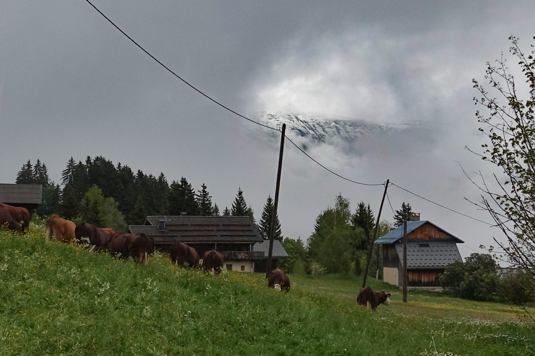
I’d been climbing mainly in third gear, which I was quite pleased about.
I was hoping that when I got above the clouds I might see some blue sky, but in fact it looked like I had cleared a lower cloud level to come into clear air but still with completely overcast skies due to a higher layer of clouds.
I’d managed to keep warm even though my wahoo was reading 4°C for the whole climb.
Half an hour later, after three miles at 7%, I reached Les Saisies, an out-of-season ski resort. All the shops were closed and there was hardly anyone around.
At last I saw a little slither of blue sky but it didn’t come to anything more than that for a while.
There was a bit of confusion as to exactly where the Col des Saisies is actually located. The CCC catalogue (and Google maps) places it about half a mile west of the main road along a small track. But I had also seen a photo of a col sign right by the main road, so I had decided not to go up the track, and find, instead, the col sign I’d seen.
But that was coming up in a while because before that, on the other side of the road, was another track to another two cols, Col de la Lézette and Col de la Légette. I rode the one mile 7.5% climb to Col de la Lézette.
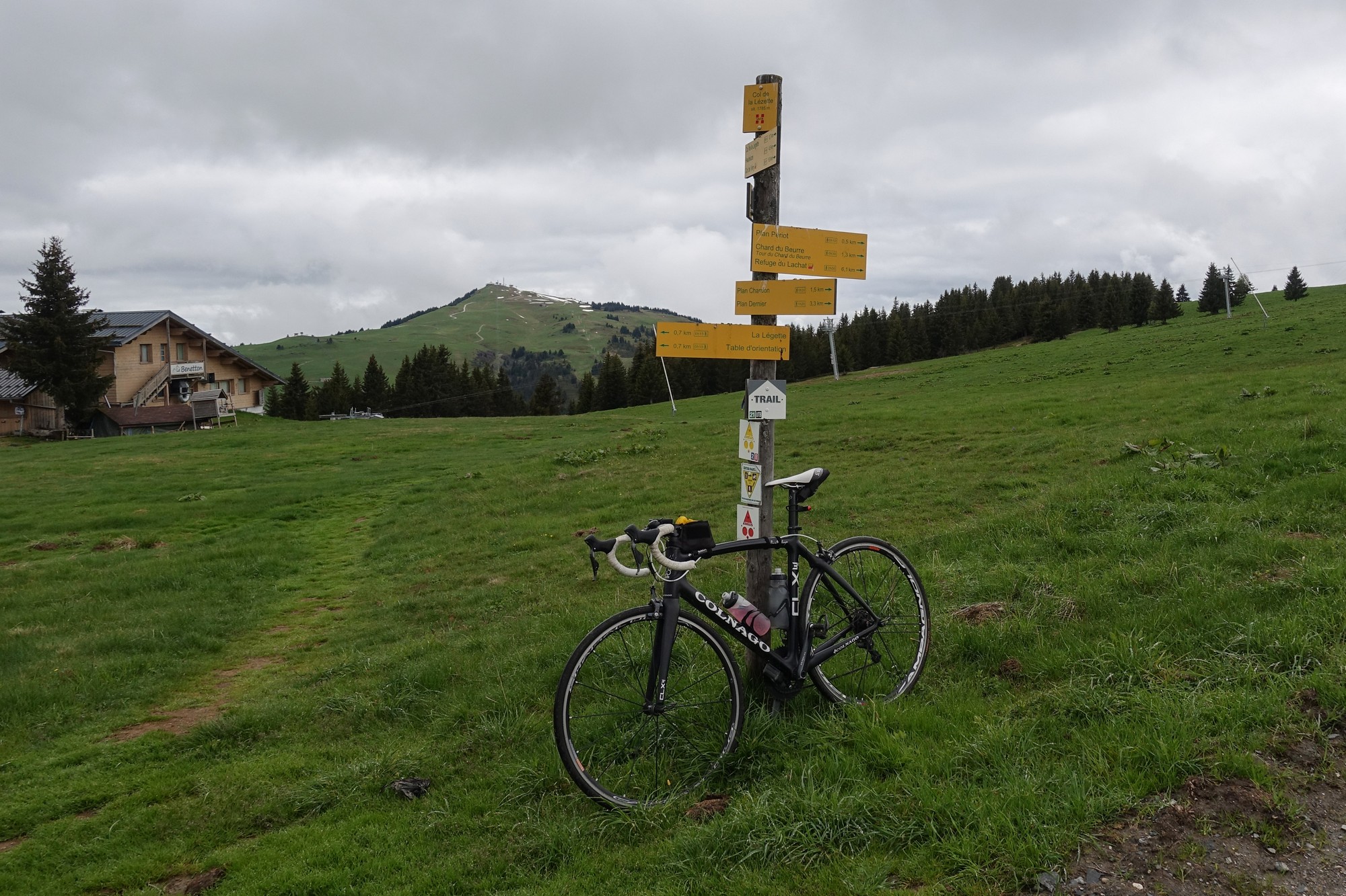
Col de la Légette was not far from there, but the road/track to get there was a quagmire of mud.
Initially I tried riding round the edge, but my bike was getting covered in mud and grit. My cleats and brakes got clogged up, so I gave up on that col. One day there may be a new road to it by the looks. I tried to clean the mud off my tires by spinning them on some grass.
Back down at the main road, I was on the lookout for a bus shelter or somewhere to sit and eat my baguette sandwich, as I was just starting to get hungry.
There was very little traffic about. Just a car every now and again and some motorbikes but no other roadies, just a couple of mountain bikers up near the col. The only bus shelter I saw was flooded, and I never did see the col sign so I just carried on riding into the descent.
And that’s when I proceeded to get uncomfortably cold. The air temperature was 3°C according to my Wahoo. I was braking to slow my speed down just to prevent me getting even colder. I was feeling really miserable. Though I could see other riders descending with short sleeves – they must be mad!
Eventually I got to Le Planay, where there was a bus stop. I sat in the bus shelter and had my sandwich. I was still really cold. I was actually looking forward to the next steep climb as I knew it would warm me up.
And it was at that point that the sun actually shone on the ground for the first time, so I stood in it for a while but it really wasn’t enough to warm me up. I got back on my bike and continued the descent, which obviously on a sunny day would have been absolutely superb, twisting round with amazing views down into the valley and over the chalet-covered hills.
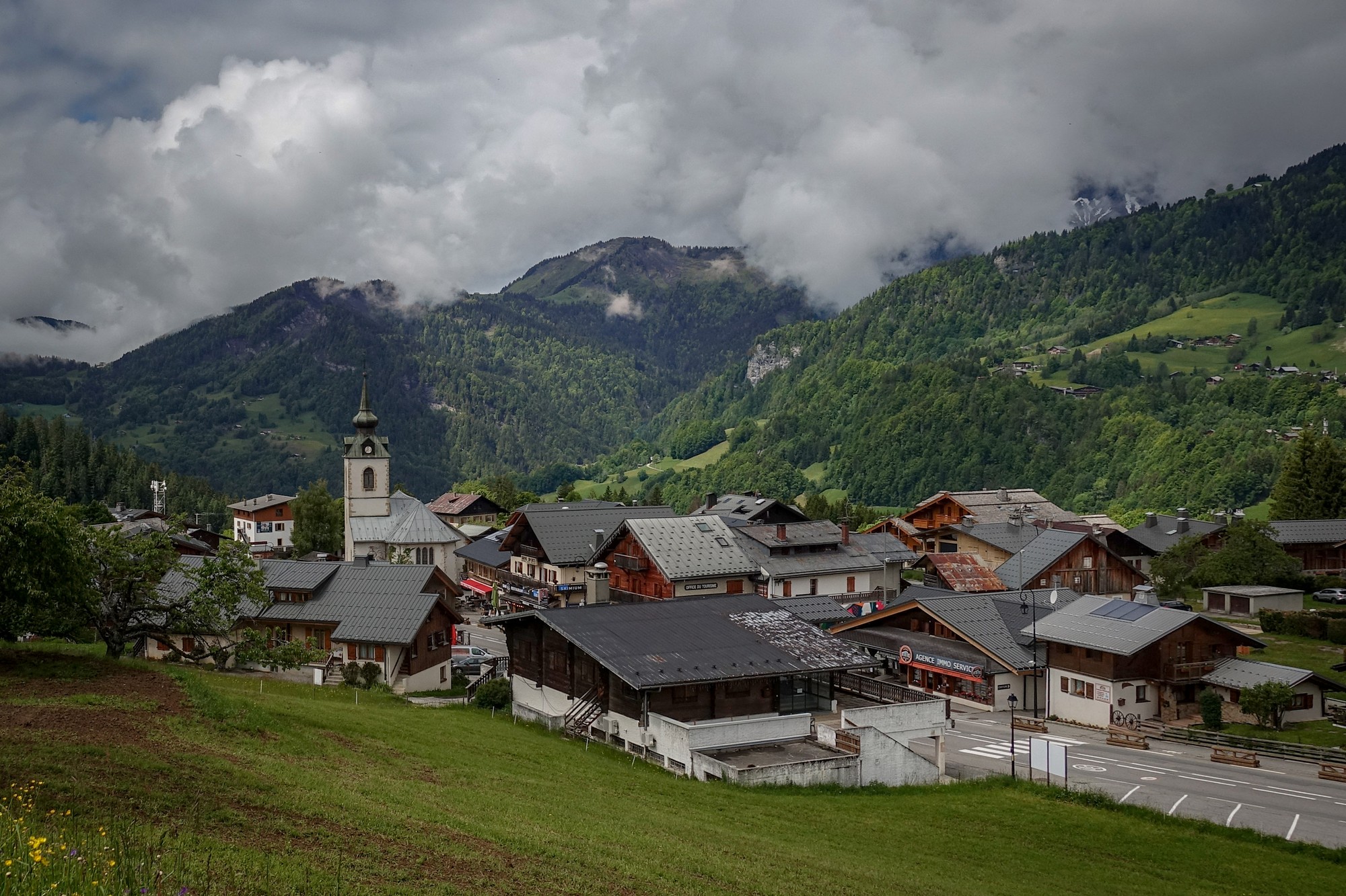
Then I seemed to warm up a bit, possibly because I was dropping from altitude and the sun was sporadically shining.
At Notre Dame de Bellecombe, I came to the place where I could turn off and use my get-out-of-jail-free card which would cut out a significant climb. I did stop there and paused for a minute or so considering the option, but the weather was looking dry up to that point so I decided to just take a chance, knowing that I would be disappointed with myself if I didn’t do the whole ride, so I carried on the long route.
The road wound down to an amazing series of tight hairpins down to Flumet, a town perched above a deep gorge, Gorges de l’Arly.
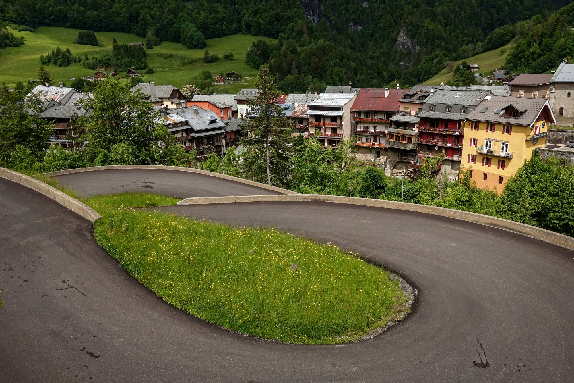
My route took me along the edge of that gorge but unfortunately there were no views to be seen because of all the trees.
Trees can ruin a gorgeous view! At one point curiosity got the better of me and I stopped to look over the edge.
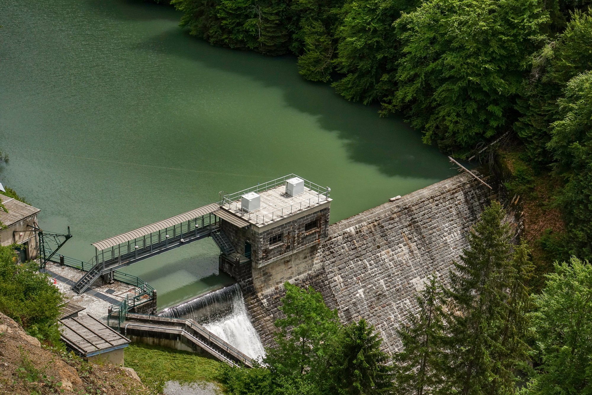
Eventually I crossed back over the gorge via a bridge and found that I was on that steepest hill of the whole ride, 3½ miles at 8.3%, climbing up to meet the other end of that short-cut that I had earlier eschewed.
It took me by surprise so I hadn’t managed to have an energy gel or anything really and went straight into that tough climb and apart from stopping for one photo near the bottom I did the whole thing in one go. Not only that but I did nearly all of it in second gear, for which I was very impressed with myself.
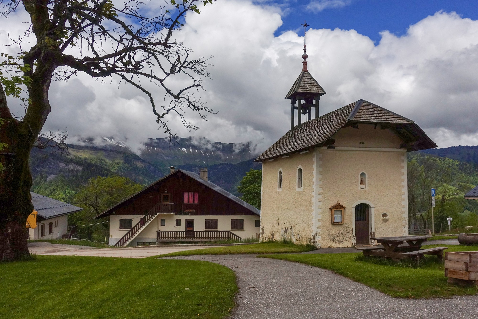
Gradually the earlier steep sections faded out and I ended up at Le Cernix where I sat outside this chapel to have the rest of my sandwich and a pain killer to ward off a neck ache that I often get on cold descents.
The road from Le Cernix continues to descend. It is a road that follows the valley but is cut into a steep wooded hillside. To my right, the hill dropped steeply down to the Gorges de l’Arly. To my left the hill rose steeply towards Mont Bisanne (I later discovered), nearly 1000m further up.
I saw lots of instances of fallen tree trunks, either caught in the steel netting, or wedged among other trees further up the hillside, or just with their ends having been sawn off where they’d been overhanging the road.
At one point I came upon a section of road with no surface. Instead there was just a mud bath in its place. I got off my bike and walked carefully along the edge but even there was very muddy.
Coincidentally, the only cyclist I’d seen on that whole section approached uphill while I was midway along the edge of the muddy patch. He didn’t stop riding and when I looked at him incredulously he said something indicating he could ride through it. He went right up the middle where the mud was up to six inches deep. Needless to say, he couldn’t. I said “trés glissant” and afterwards wondered if I had the right word (I did). I carried on without looking back to witness his struggle. Once I reached the other side I had to clean the mud from my cleats with a twig because I couldn’t clip my shoes into the pedals.
A bit further along from that was a nice waterfall disturbing the otherwise peaceful road.
I stopped and stood there for about five minutes adjusting various settings on my camera to get a good shot of the waterfall, before setting off once again.
That whole road, perched halfway up the steep hillside seemed as if it would be costly to maintain. One section had a crack down the middle, as if it were subsiding down the hill.
The road descended to and through the small village of Cohennoz
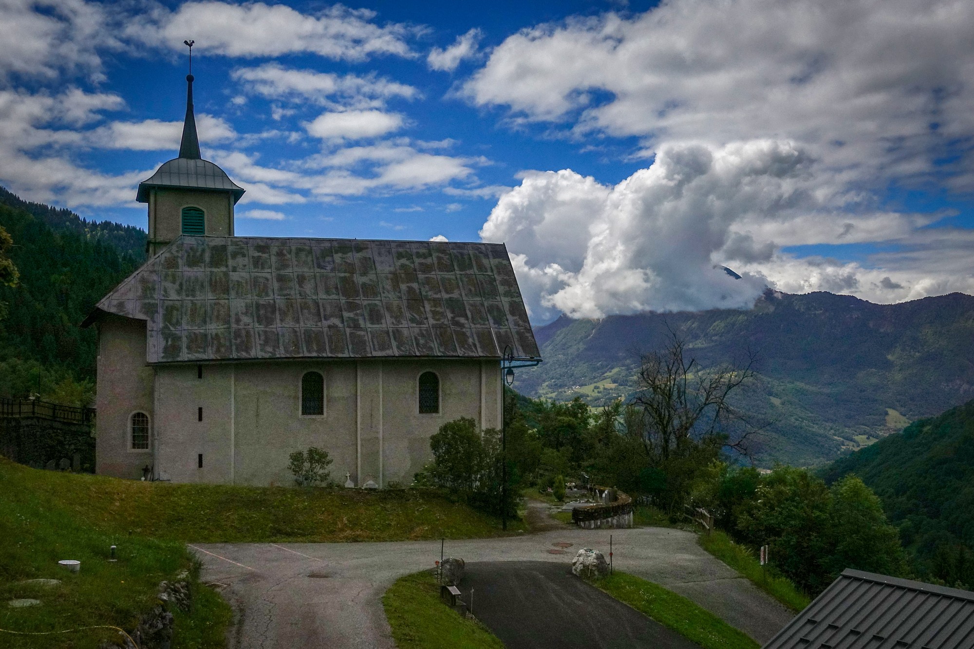
… after which there was a steep climb for a mile or so.
Then the road continued its steep descent.
I took it easy because it was very twisty.
I began to see more and more cyclists. There were amazing views over Ugine through occasional gaps in the trees.
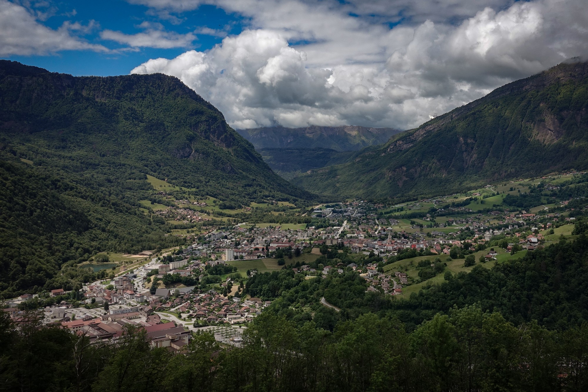
I knew that the last climb of the day started immediately at the bottom of that descent. I went straight into the 9% climb to Col de la Forclaz. The sun had been out quite a bit and the day had warmed up. I started that final climb still wearing my raincoat and gloves etc. I began to get hot about halfway but then saw some shade ahead so thought I’d carry on because I didn’t really want to stop, but eventually I got too hot and had to stop and put my rain jacket and gloves in my back pack. That was much better. Ten minutes later I reached Col de la Forclaz.
According to the sign nearby:
“The word Forclaz (in Arpitan ‘Forclia’) means “small fork”. It is used to designate a narrow passage between two heights. At the start of the pass, a path leads to the location of Cornillon Castle burned in the 14th century“
“Taken during the 19th stage of the 2016 Tour de France, between Albertville and Le Bettex in Haute-Savoie, it is a 2nd category pass. It is on its northern slope that it is the most difficult with 5.6km and a difference in altitude of 445m, i.e. an average percentage of 8% and a maximum slope of 10.5% over 700m. Not to be confused with the Col de la Forclaz de Montmin (1st category) and the Col de la Forclaz (Out of category) in Valais Switzerland.”
After getting a col photo and reading the notice board adjacent, I put my rain jacket and gloves on for the steep 2½ mile descent down to the main road back to Beaufort.
The day had warmed up and so had I. Less than ten minutes later I had reached the Vallée du Doron and the road back to Beaufort.
I once again took my coat and gloves off. The sun was on me nearly all the way back into Beaufort.
So the forecast hadn’t been correct and I could have left later and would have been warmer with probably better views, although there was still cloud over the high mountan tops so I don’t think I would have seen Mont Blanc anyway.
I got back feeling a lot better, mentally, than I thought I would have, given that cold and frustrating beginning.
Gallery
Click to enlarge / see slideshow


