Distance: 58.3 miles. Elevation: 6864 ft.
Col de l'Ange Gardien | Col de la Platrière | Col d'Izoard
Following yesterday’s climb to Col du Granon, today it was the turn of the more famous Col d’Izoard (2,361 m), which has featured in the Tour de France 36 times, but only once as a stage finish in 2017. Although starting from Briançon, I chose to loop around, via Guillestres, to the other side and climb the tougher southern ascent and descend back to Briançon.
I left at 10:30, after a porridge and honey breakfast, with the sun shining and temperatures in the mid 20’s°C. I started out through a bustling Briançon and left town on a very wide cycle path on the pavement for over a mile until I crossed the bridge over the river Durance. Then I rode along the main Route Nationale N94, which still had a wide section to the right of the road, presumably for cyclists.
Even though on that stretch there were lots of lorries and traffic going by, it felt safe enough, but not that pleasant because of the noise and slightly raised anxiety.
After three miles and eleven minutes of that, at Prelles, I turned off the N94 onto a nice quiet road. I was surprised to see a roadside sign that said I was on ‘La boucle d’Izoard’ (The Izoard Loop), length 96.4 km, almost the same distance as my loop. So even though I had plotted my route completely independently, it looks like I’ve coincided with a known ‘boucle’. Maybe something I’d seen on the internet had prompted me. That cyclist I’d spoken to on my ride to Col de la Charmette mentioned a loop on quiet roads to climb Col d’Izoard, and I said that I’d designed one. I hadn’t known that it was an ‘official’ route. Still there are very few ways of doing this ride whilst keeping off the main roads, so it’s inevitable that mine would match the published route to a large extent.
Further along that road I saw groups of cyclists learning to ride. It was like a driving school for cyclists. They were being followed by really weird vehicles that looked like electric beach buggies or something.
And I kept coming across groups of these riders all the way along that road. I was surprised when I saw the next Boucle d’Izoard sign stating the distance had increased, which I couldn’t really work out, so I guess the route starts with the col first.
The road climbed above the river Durance on my left. The main road was on the other side of the valley, distant and silent.
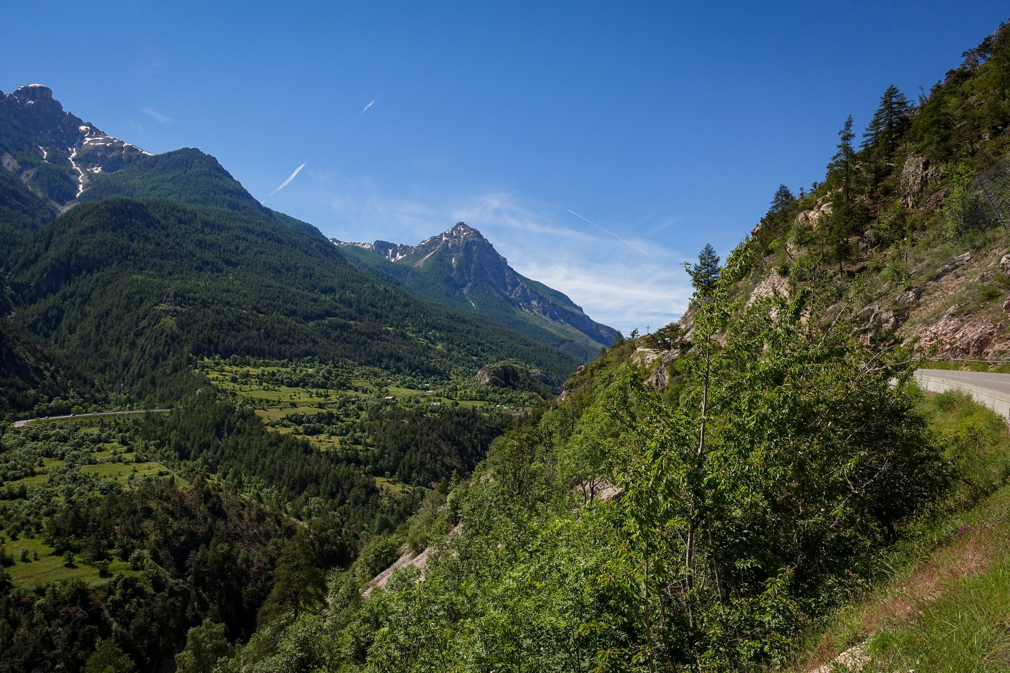
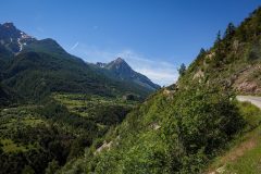
The next nine miles was gently undulating, following the valley, gradually losing altitude. It was a very peaceful road passing through villages. At one point I stopped to look inside my shoe because it felt like there was an insect in there biting me – I don’t know if there was but it was okay after.
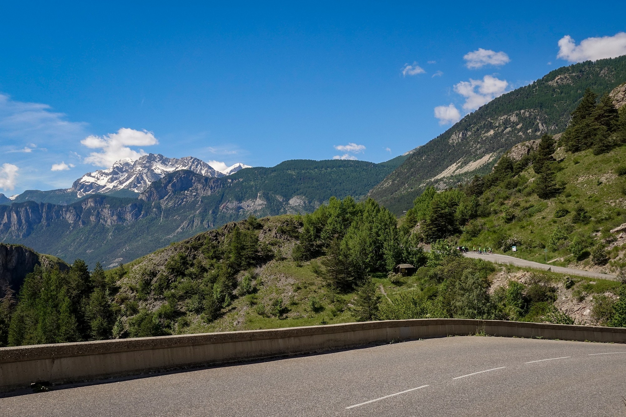
The road descends to river level at L’Argentière-la-Bessée.
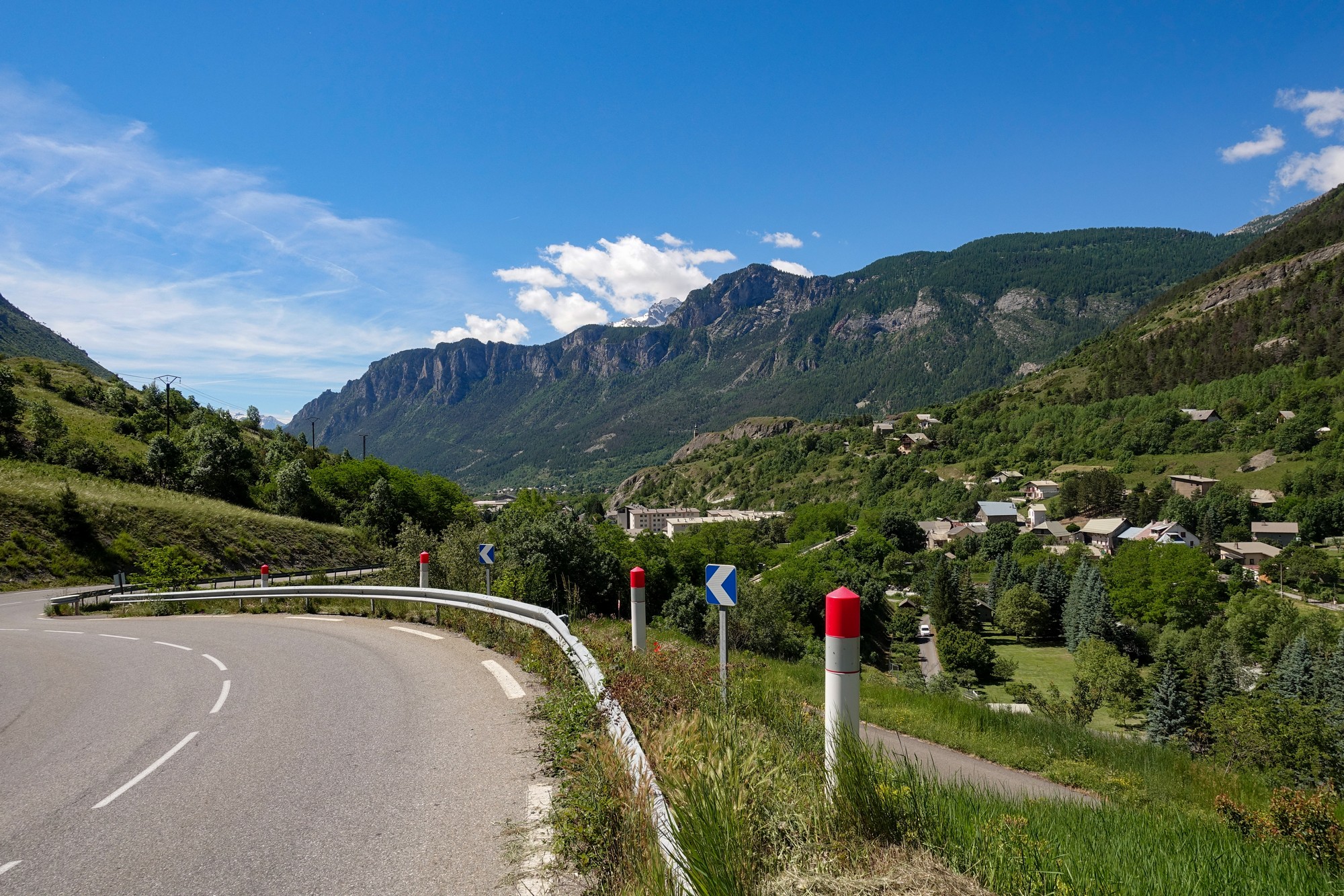
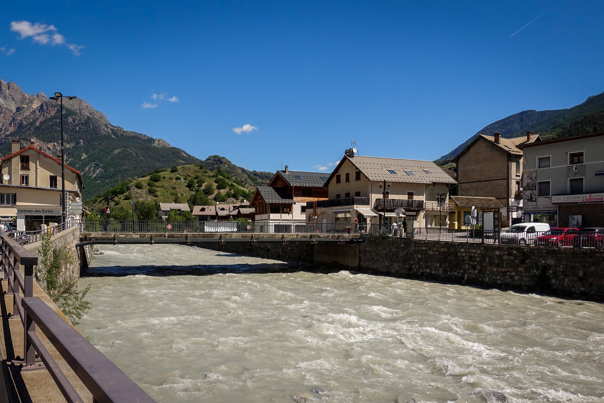
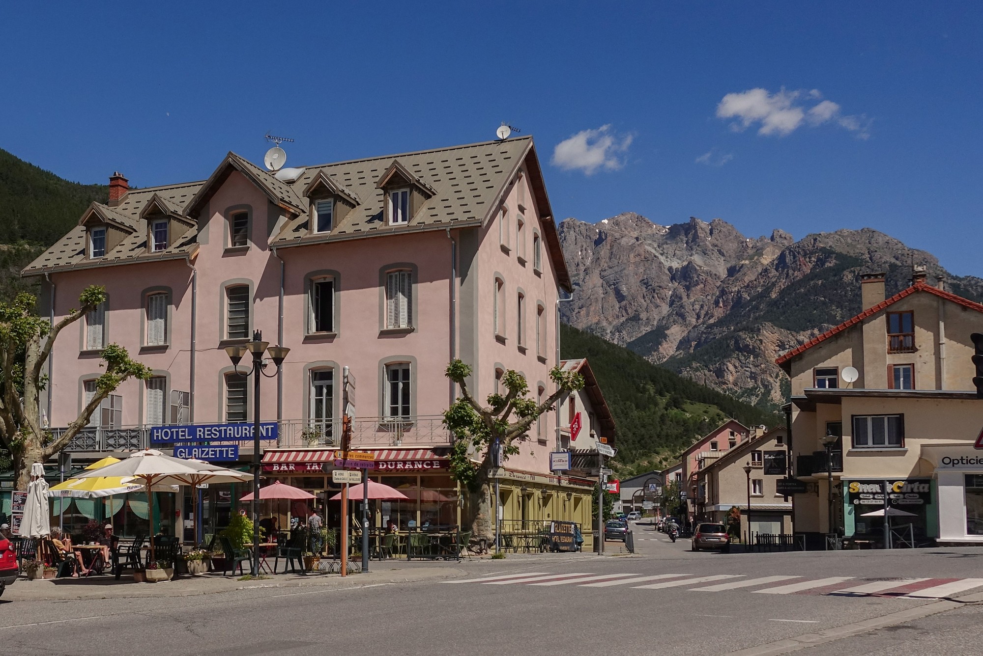
I knew that coming up soon would be the very steep hill that I had identified on the gradient profile for the course. I had an energy gel just about half a mile before where I thought it started.
And as soon as I came to it I knew, because the road just goes up like a wall in front of you. I started off in second gear but changed to first. It felt like about a mile and a half of Barn Hill or maybe more. In fact it wasn’t – it was just under a mile at 11.2% avg, which makes it steeper than Kidd’s Hill in Kent, UK, also known as “The Wall”.
The road climbs very slightly over the following couple of miles, offering views ahead towards Eygliers.
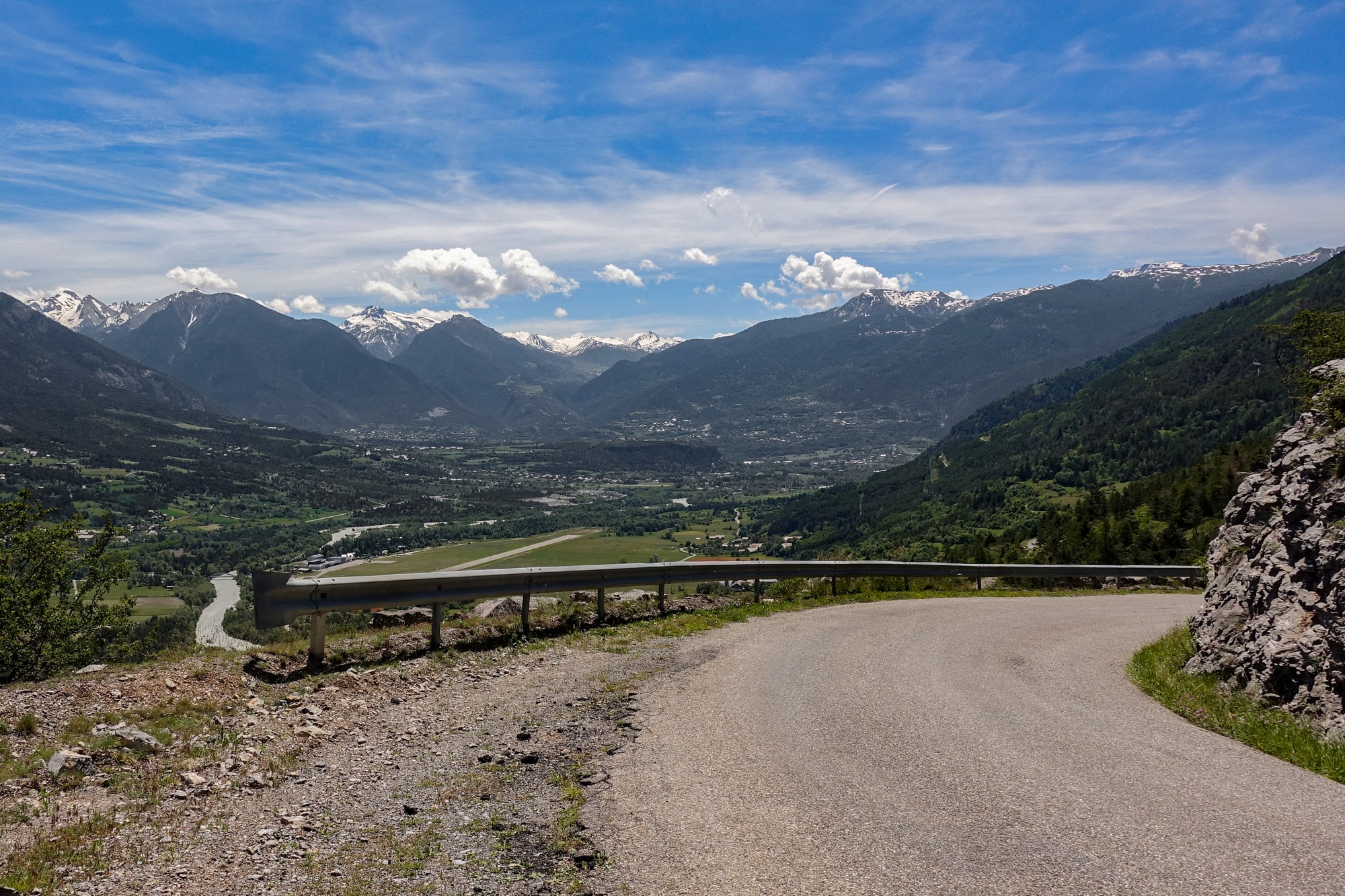
Then comes over two miles of glorious descent at 7.5%, the road twisting spectacularly down to the valley floor.
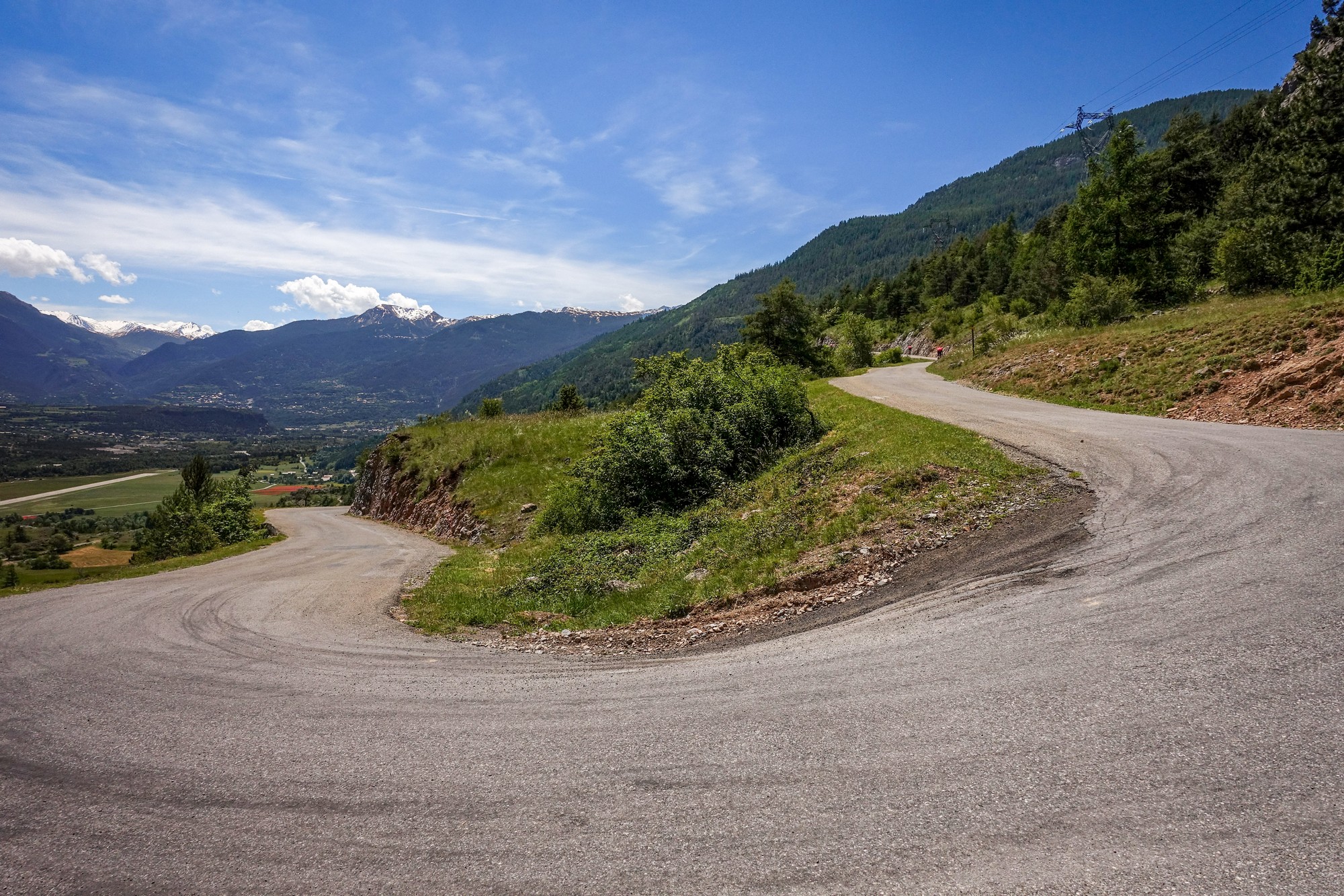
Down in the flat river basin, the headwind was very strong, forcing me to unclip from my pedals a couple of times during particularly severe gusts. Although not pleasant, I had at least the consolation that the wind would be helping me on the climb to Col d’Izoard if it kept its bearing.
I entered more familiar territory as I approached Eygliers, where I’d stayed a couple of years ago for my climb to Col du Vars.
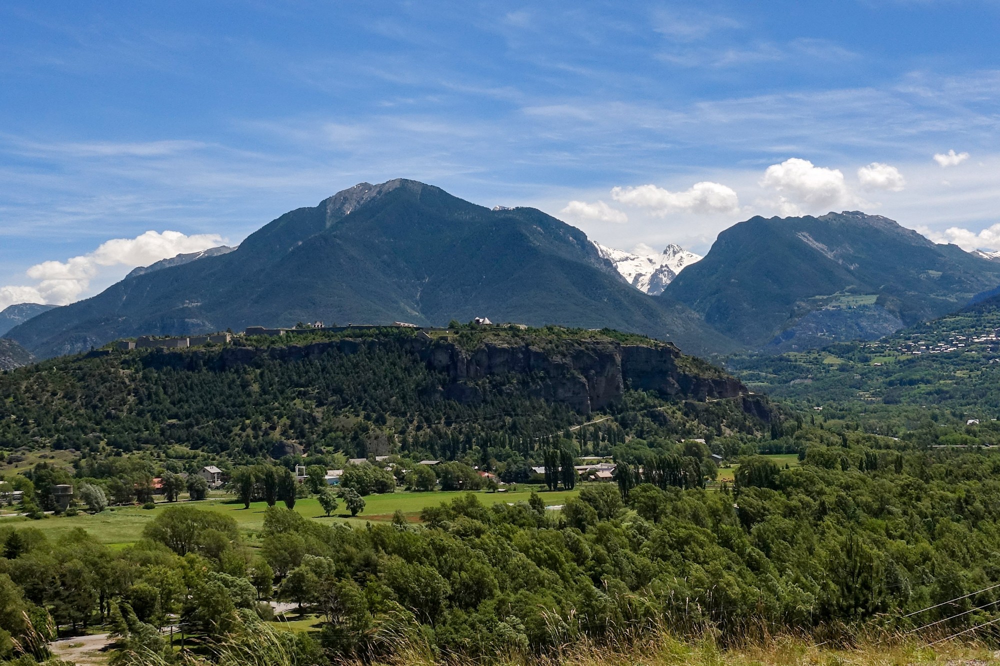
Past Eygliers the road climbed around the outskirts of Guillestres.
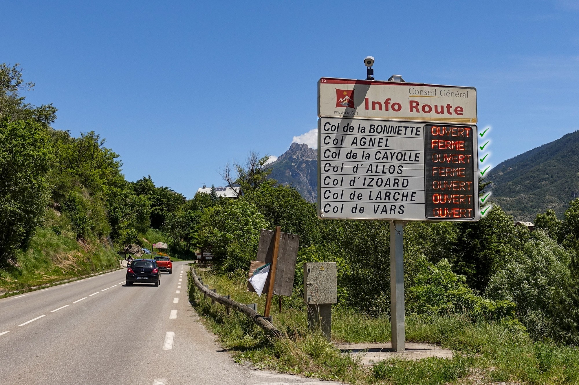
A mile after Guillestres the road meets the Guil river and follows it through the gorge. This was also familiar to me by virtue of a 30-mile evening ride I did along this gorge road to Ville-Vieille back in 2022 – unusually I didn’t blog it.
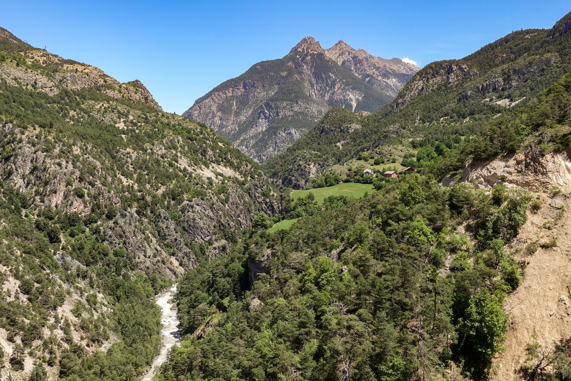
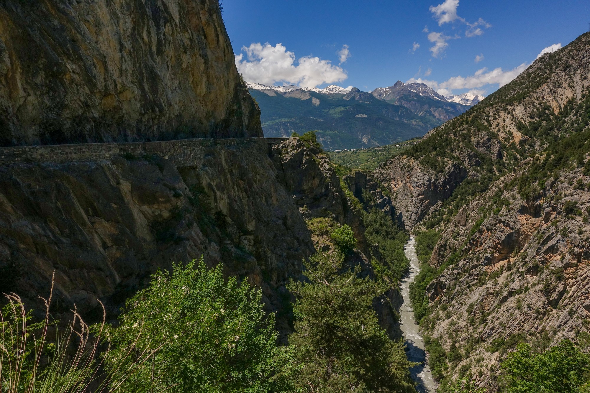
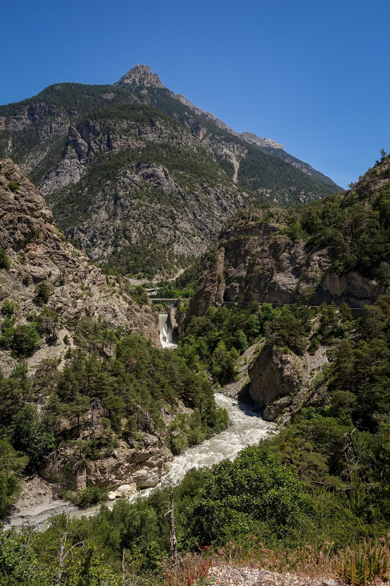
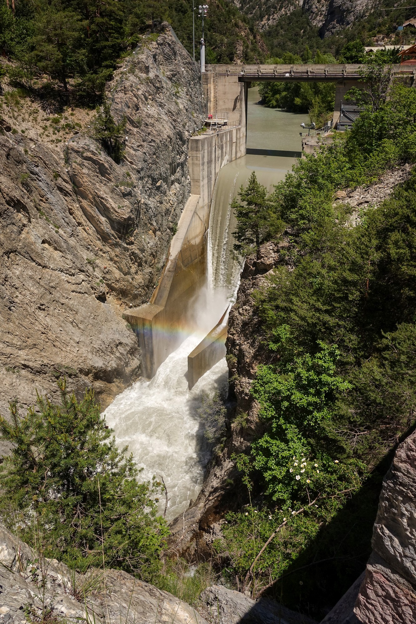
After the Barrage de la maison du Roy, the road crosses the river, which is now at the same level as the road.
The gorge section went on for much longer than I’d remembered, with the constant rush of the river, full to the brim, the colour of putty, crashing over the rocks right next to me the whole way. At one point I did a mental calculation based on my avg speed, and worked out that the time of day could be 15:30. When I looked at the Wahoo to confirm, I discovered it was only 2 pm. That was a very nice surprise. The error I had made was that I thought I was nearer to the start of the climb. In fact that section from Guillestre to the turn off is 10 miles. “Why didn’t you just switch screens on the Wahoo to check the time to begin with?” I hear you ask. Where’s the fun in that? You have to give yourself something to do as you ride along!
There was a steep section and a couple of switchbacks which I had also forgotten about. I stopped there to have something to eat (folded-over cold pizza) and an energy gel, knowing the main climb was soon approaching. I made some notes about the ride on my phone. It was at this point that I began to have concerns about the task ahead. Had I bitten-off more than I could chew by adding 36 miles and over 3,000ft of climbing to the already challenging ascent of Col d’Izoard, and all that coming a day after the tough Col du Granon? And being in the sun for the past four hours didn’t help.
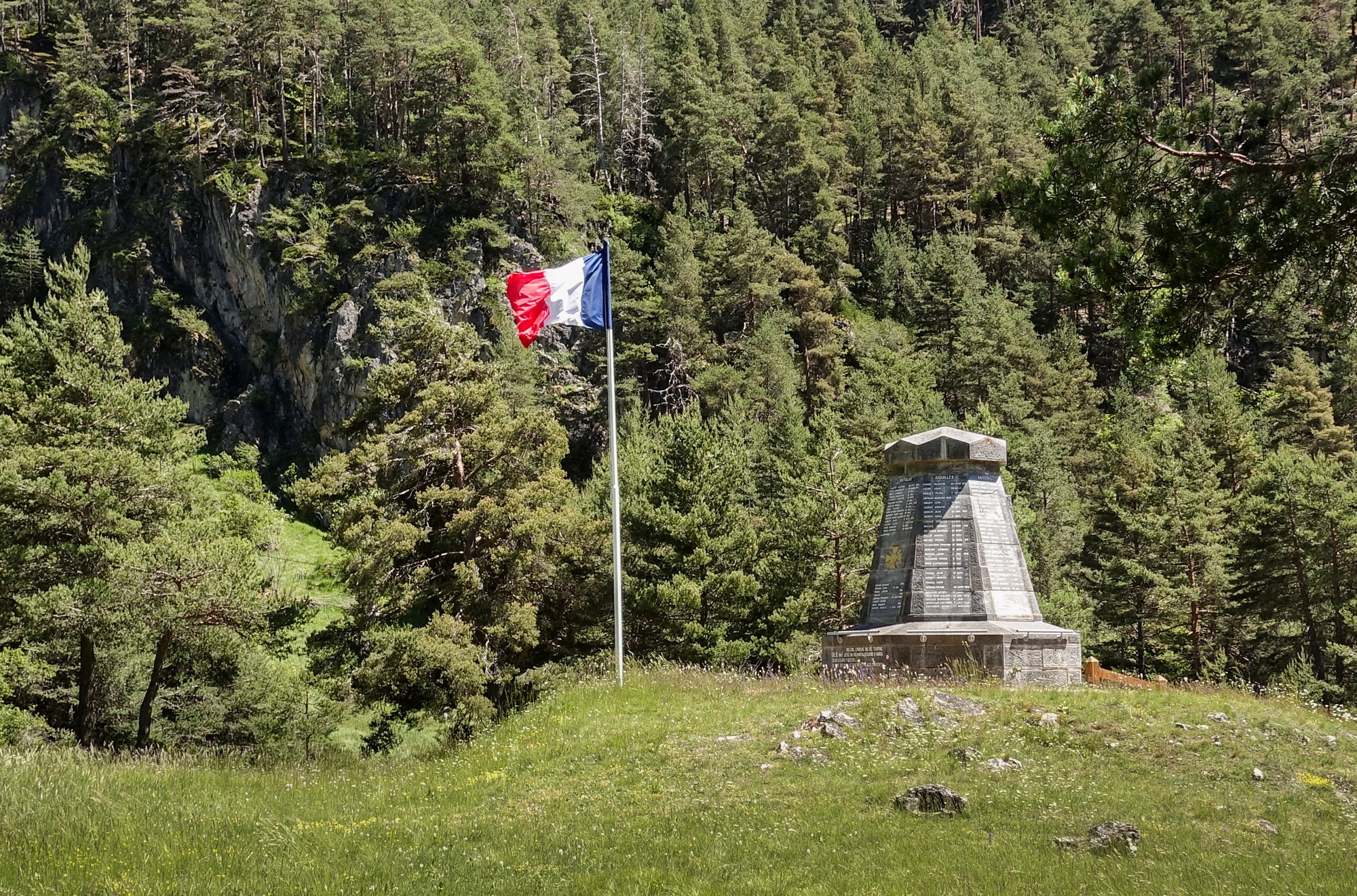
Soon after riding away from the war memorial I saw the chateau on the horizon – aha! Now I knew I was near the turn off.
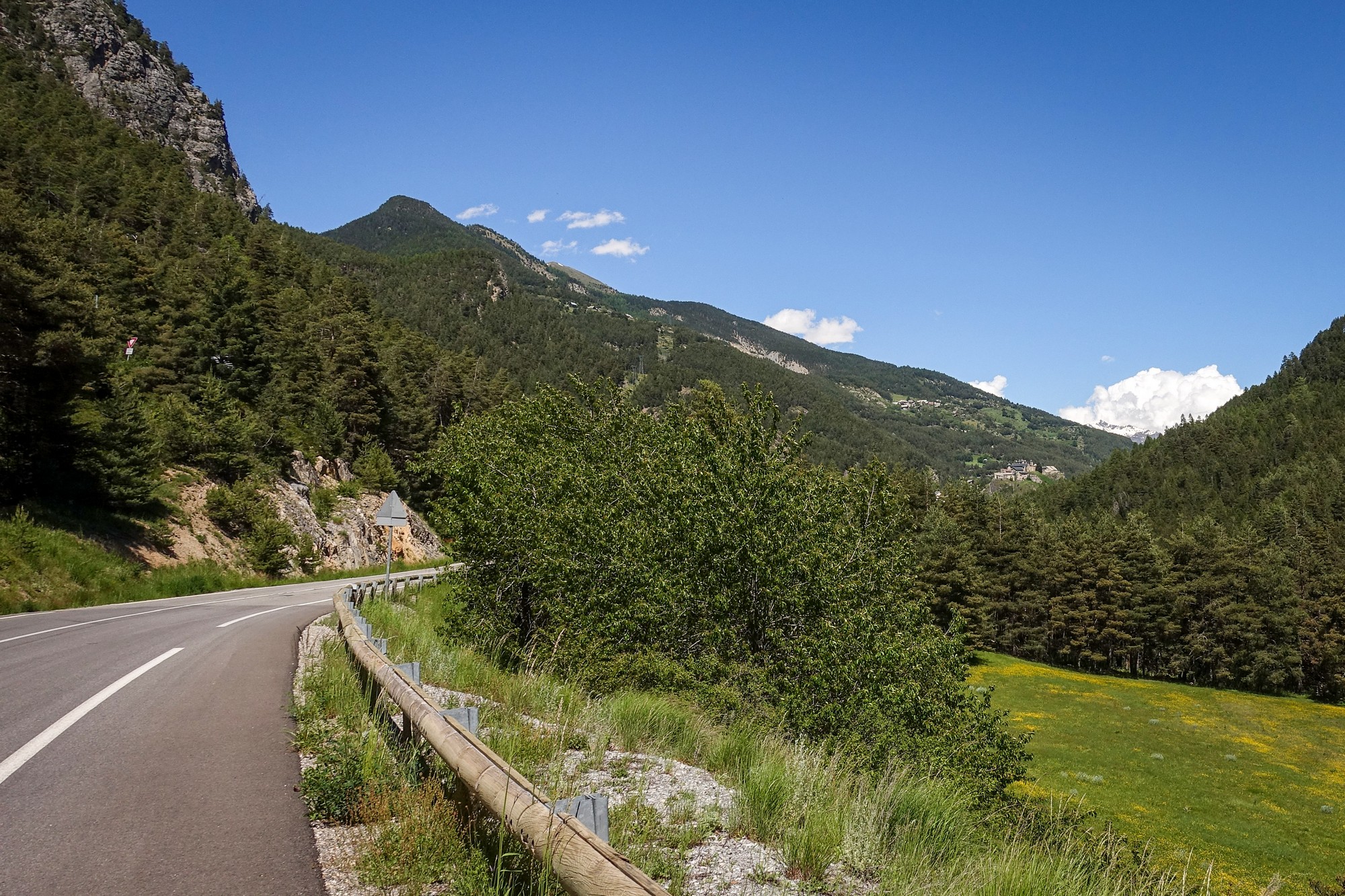
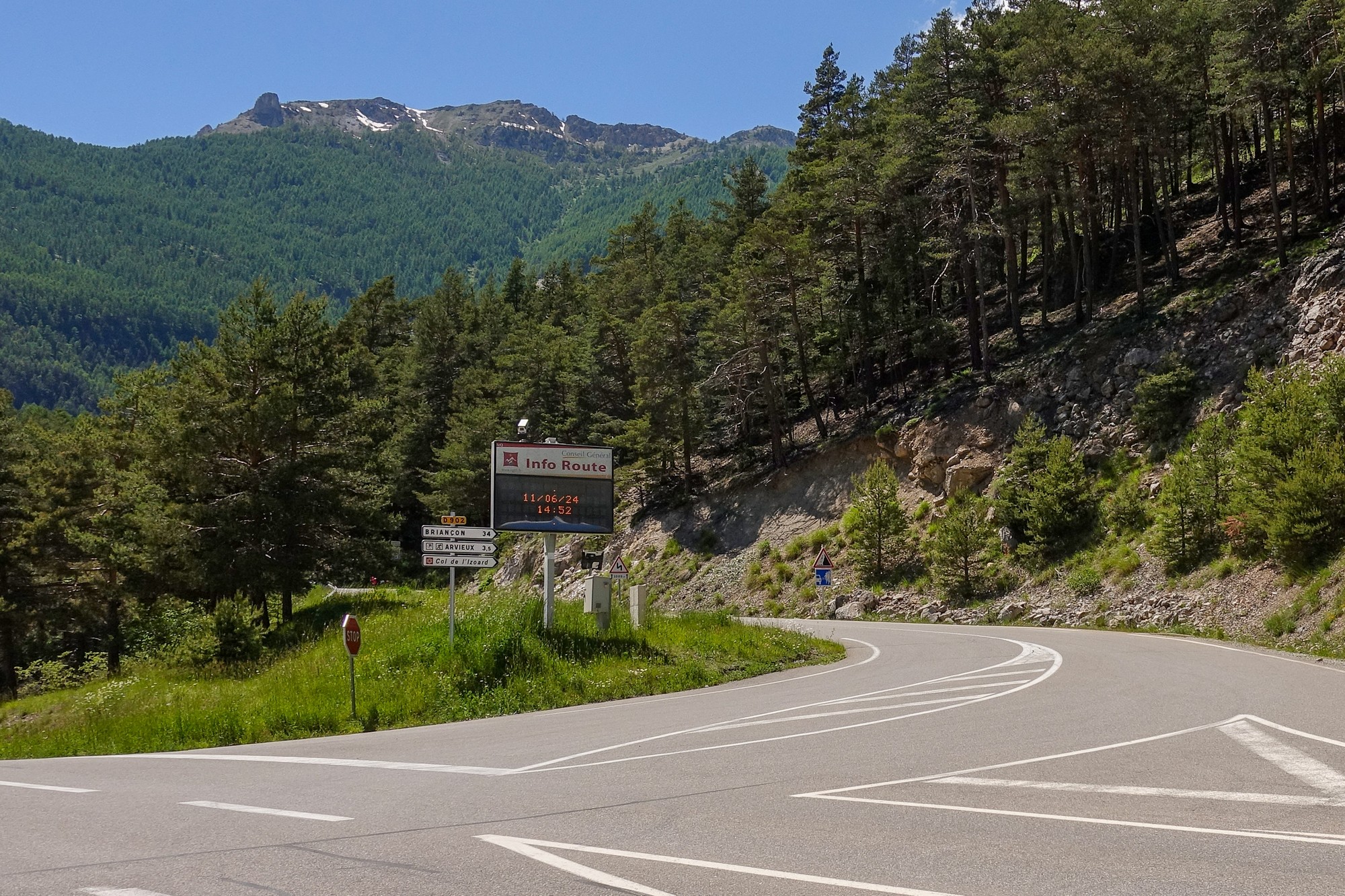
Although I had already been climbing for almost eleven miles, I consider this junction to be the real start of the Col d’Izoard ascent.
The first couple of miles of the climb, to Arvieux, averages only 6% and follows the valley of the Torrent d’Izoard. I only stopped for one photo, so I assume the views were not particularly inspiring. I took a break under some shade and made a few notes on my phone. The road to that point was quite irregular, with a mixture of steep, not-so-steep and even some downhill. I was exposed to the sun nearly the whole time. The good news was that the wind was behind me and sometimes quite strong gusts offered a welcome help.
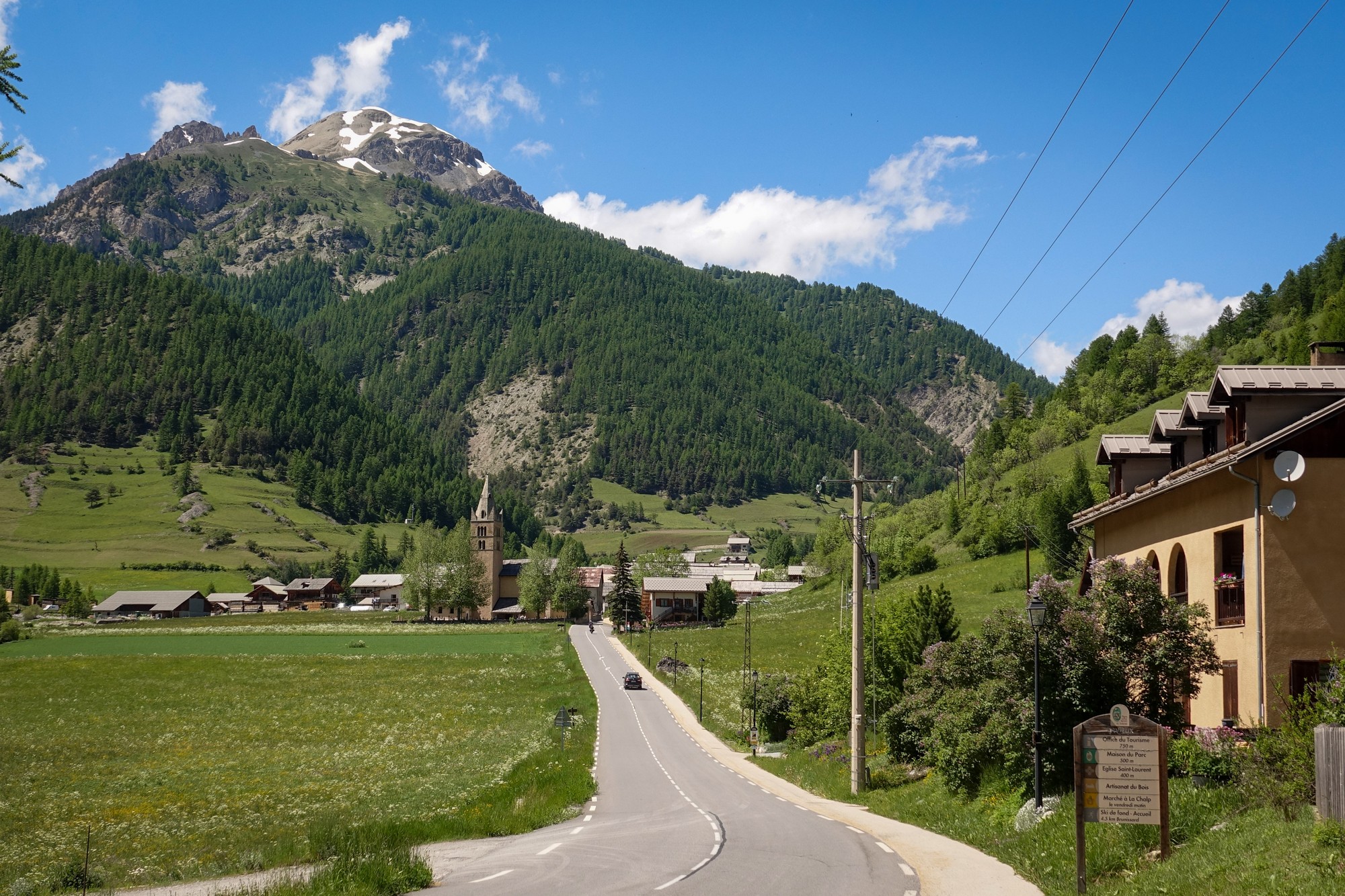
I topped-up one of my bidons with eau-potable at Arvieux
From Arvieux the road continues heading northwards in long straights but the gradient now increases to over 8% for the two miles to Brunissard. Still the landscape didn’t inspire me, consisting of a well-kept road dotted with the commercialisation of restaurants, chalets, ski equipment, etc.
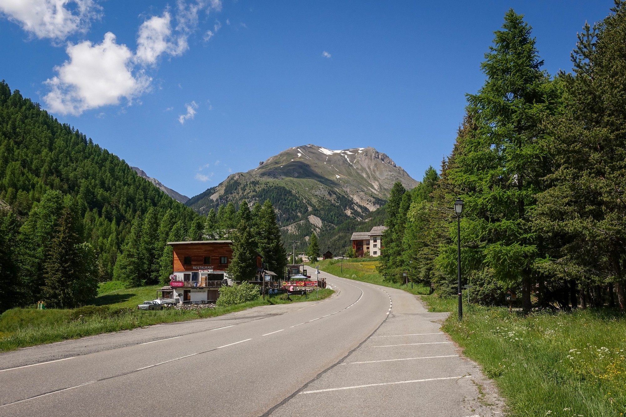
Through Brunissard, thankfully the last blemish of the landscape, the gradient ramps up to 11%, and at last a bend appears ahead to break the monotony, as the road starts to twist its way up through the Larch forests.
At the start of that 11% bend out of Brunissard, I was slogging away slowly when another couple of riders overtook me, again quite slowly. It’s like everything was in slow motion, like being in a dream, everything dragging. I managed to mutter to one of them “C’est très dur”. They concurred.
The next 3 miles are at 8.8%. The bornes kilometriques passed by, and I kept meaning to see how far was left to the top, but each time I passed one I was distracted by the gradient figure and snippets of trivia about the Tour de France.
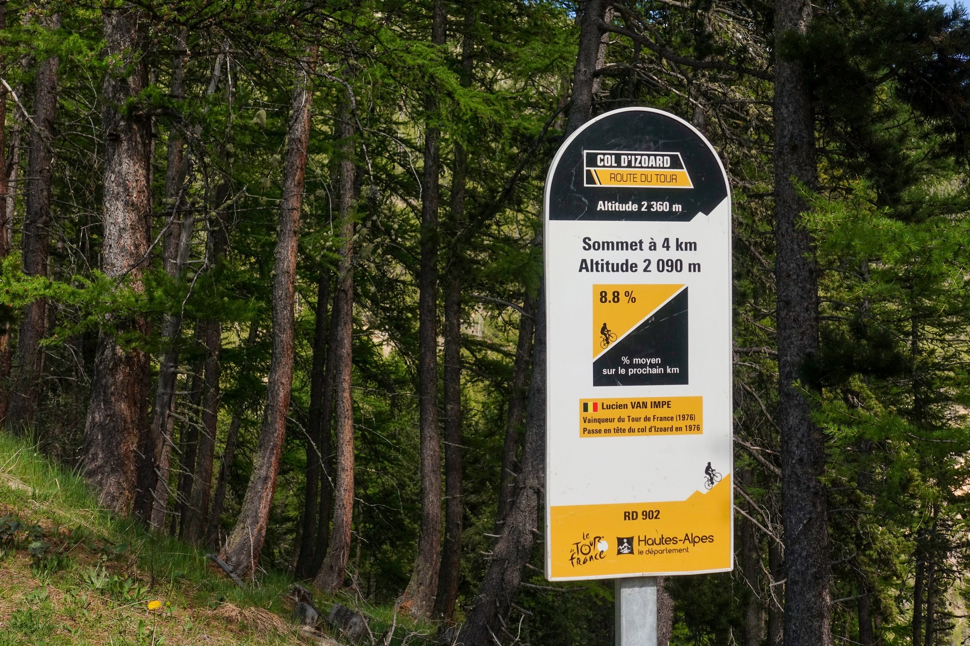
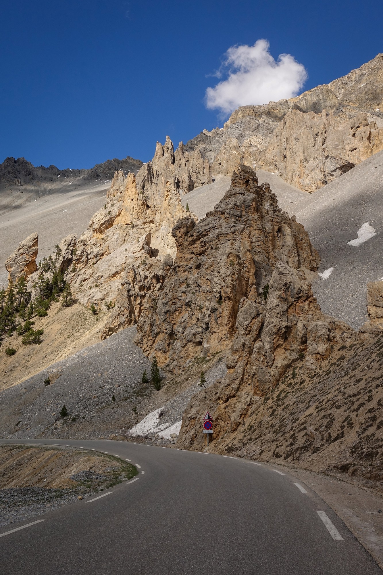
Trees become scarcer at this altitude, and scarcer still when you enter the mythical moonscape of La Casse Déserte.
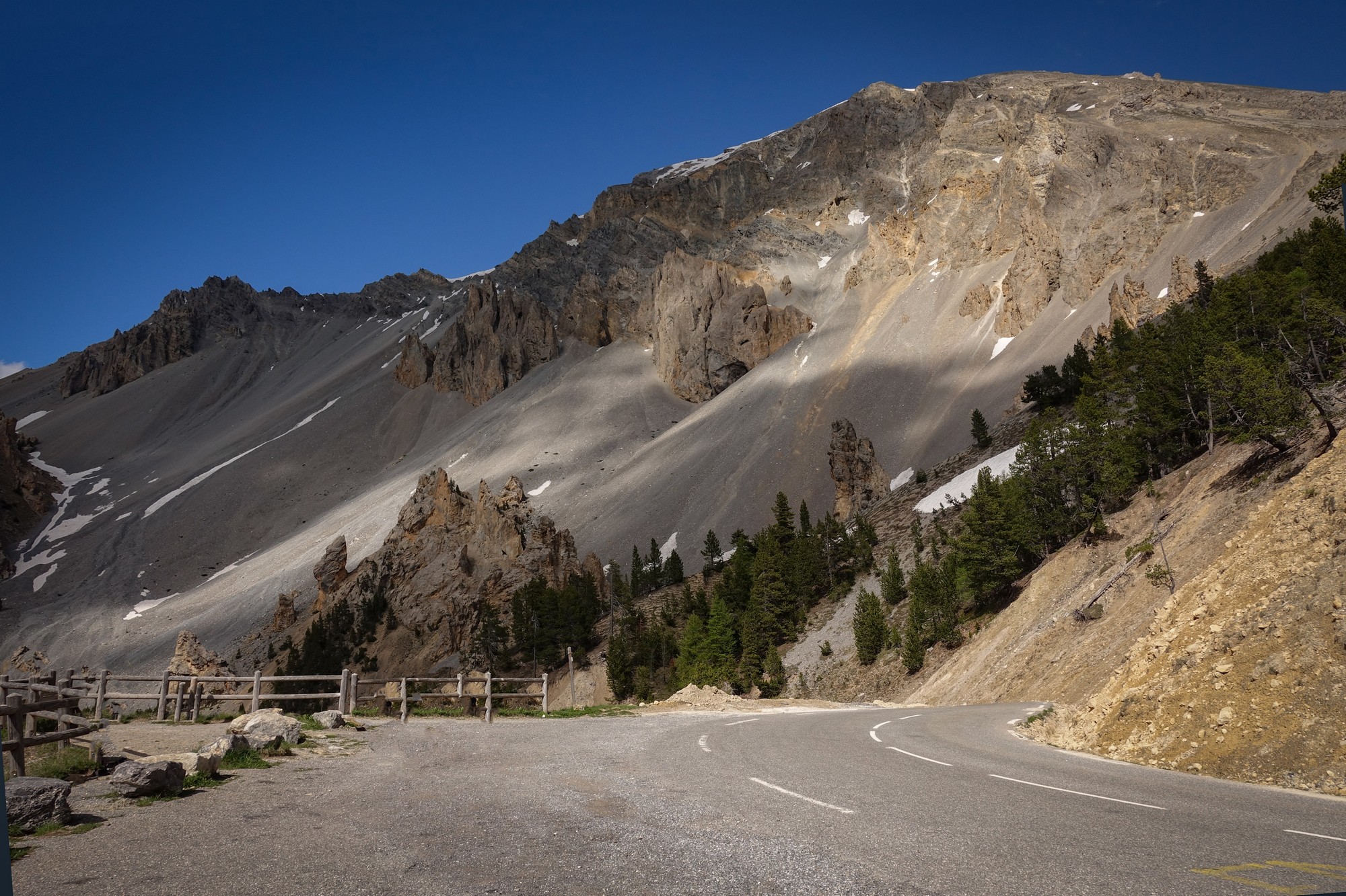
The word “casse” is used in the Alps to describe scree slopes, and here at La Casse Déserte it looks like the scree is flowing down the mountain and right across the road. I wonder what the mountain would look like if all the scree was swept away?
The road descends slightly through the Casse Déserte, after which there’s just over a mile at 8.5% to the col.
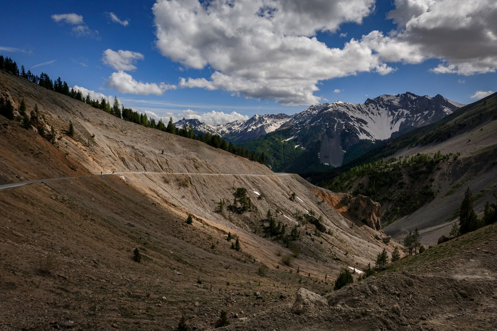
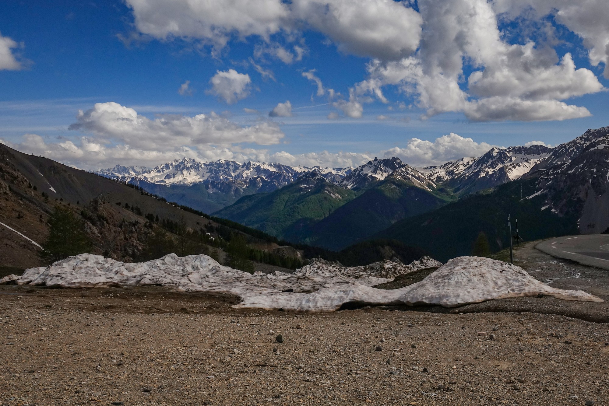
So I had made it, despite my earlier concerns. There was hardly anyone there – a couple of motorbikes, several vans and the odd cyclist. I put my rain jacket on and sat on the wall near the huge col sign to eat the remainder of my cold pizza. Midway through that, a group of people approached and started talking to me. So I sat there, half-eaten pizza in hand chatting for ten minutes or so. One of them had an unusual accent, hailing originally from England but having spent much time in USA and Europe.
I grabbed a couple of more photos and then started the descent of the north side back to Briançon.
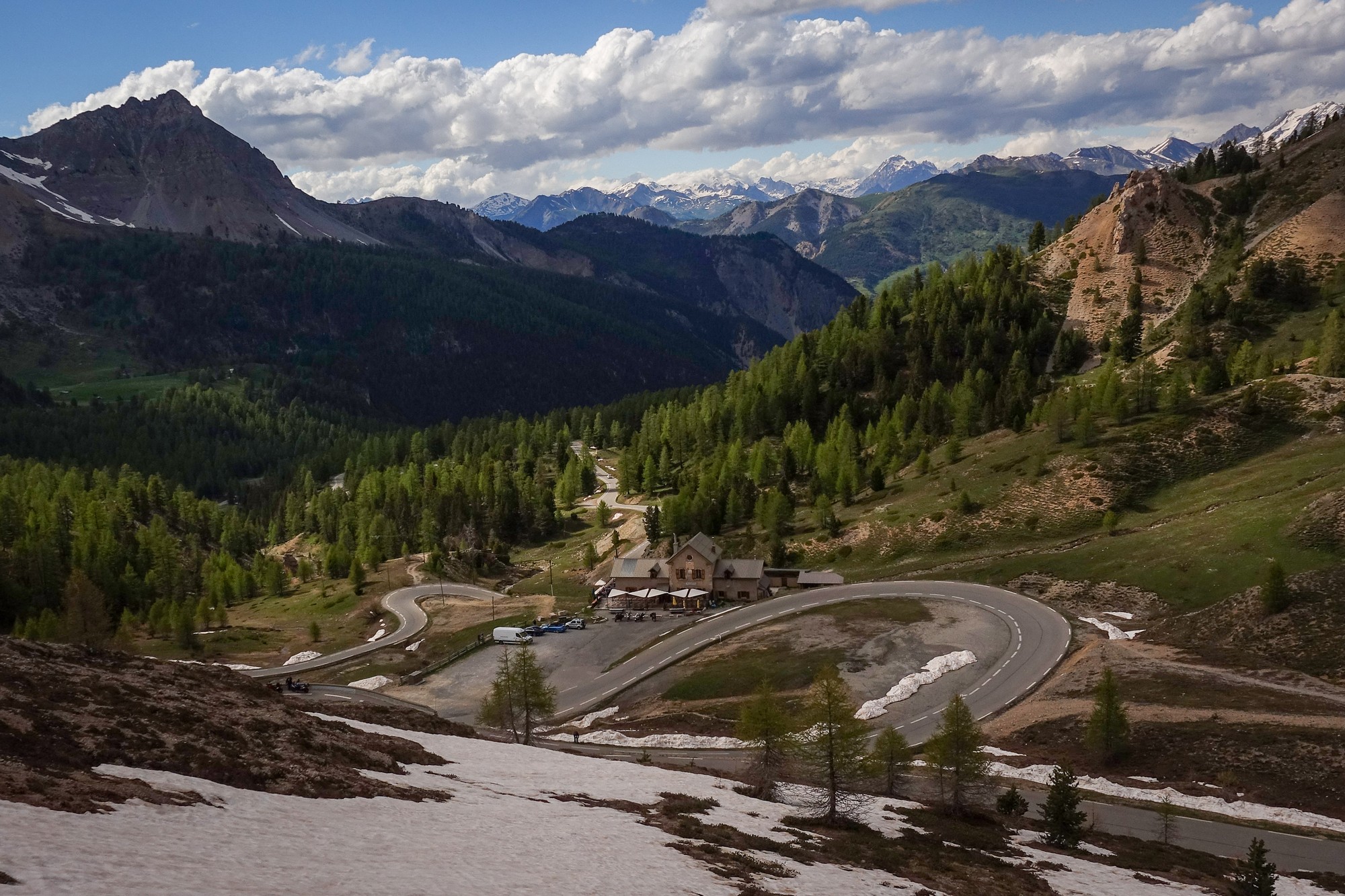
The road snaked its way wonderfully down the mountain, initially among bare rock and then into forest beyond Refuge Napoléon. Shortly into the fun my rear disc brake started making a grinding noise and it felt like it was metal on metal. I concluded, after a while, that my rear brake pads were completely worn through, which I found surprising as I had only renewed them last July. So I curtailed my speed and used my front brake only. Needless to say, this really compromised my enjoyment of the descent.
After a few miles I gingerly tried the rear brake again and found that the noise had diminished and then, after a while, it went completely, so I was once again able to descend at a decent speed. I can only assume that a piece of grit had been lodged in there, and had come free.
The gradient, initially 8% from the top reduces as the road exits the forest onto a straight road through a wide valley, with farmsteads here and there. This side of the col is more rural it seems and is more to my liking.
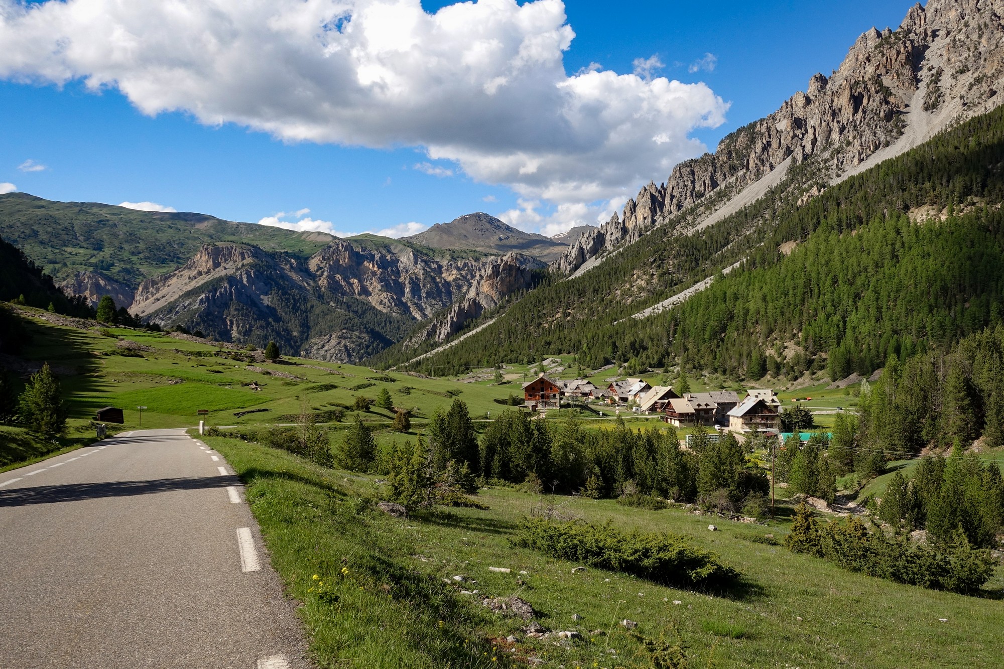
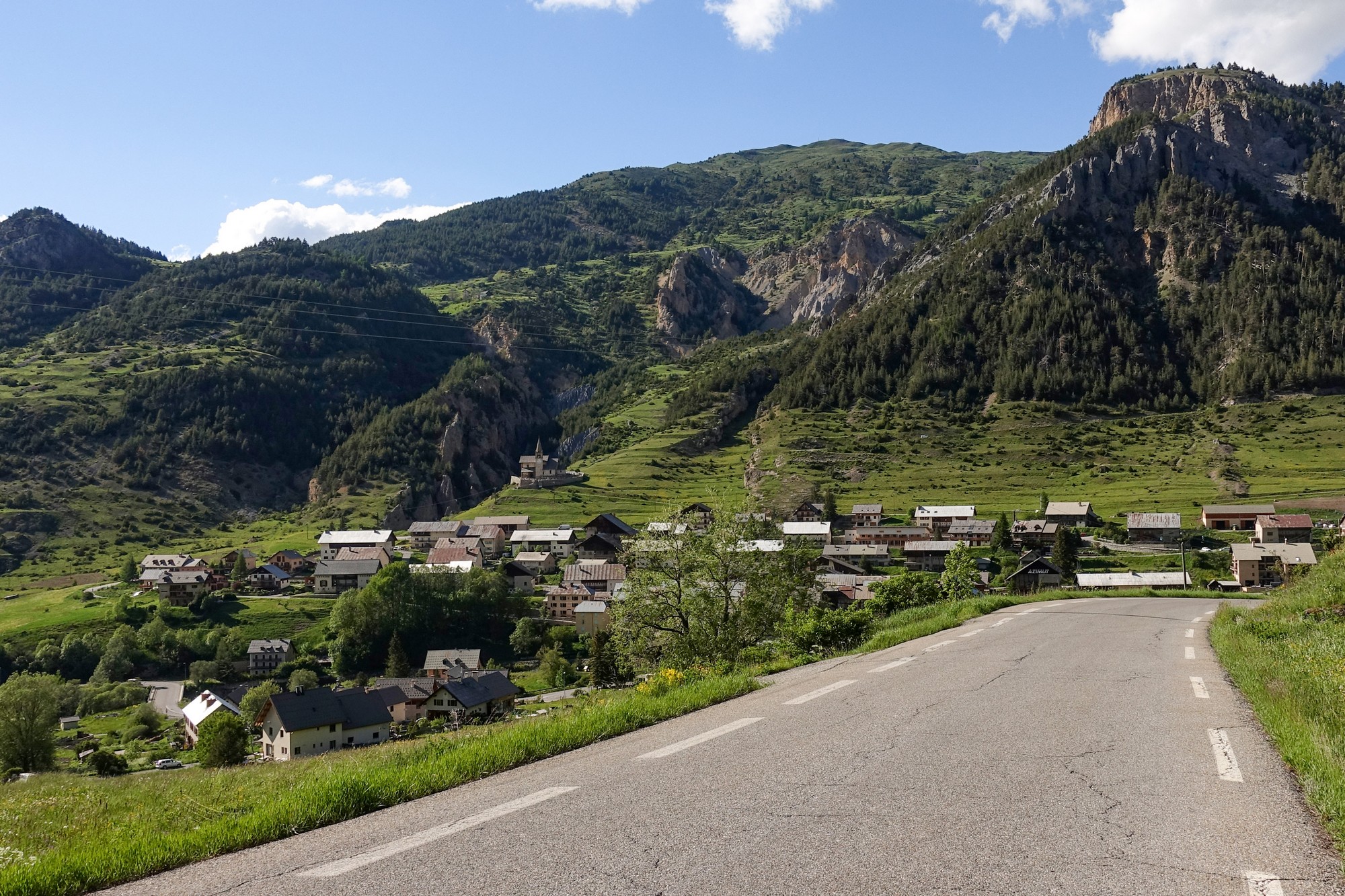
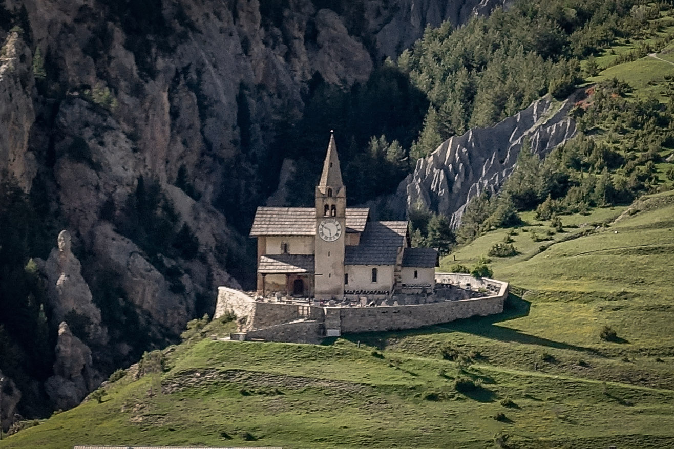
At Cervières the road turns ninety degrees left to head WNW for the six miles back to Briançon, along the Cerveyrette valley, now dropping at an enjoyable 3% or so.
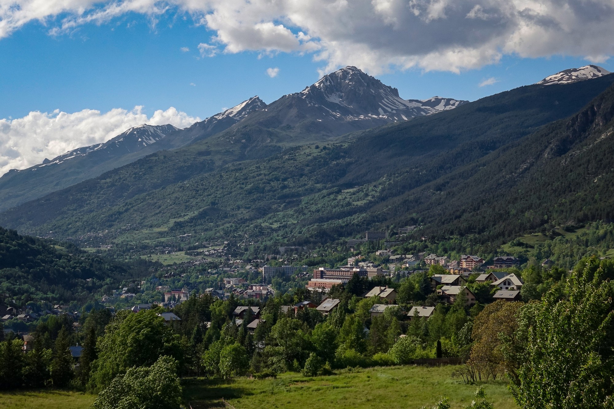
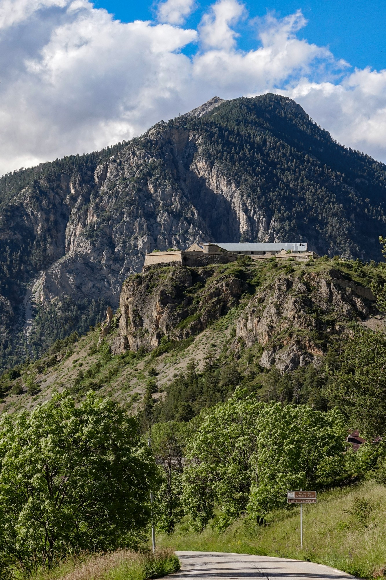
I got back at about 18:20. I’d spent just over six of the nearly eight hours riding. And that’s another famous Tour de France col that I’ve added to my list, the Col d’Izoard, the sixth highest pass in the French Alps. Of the fourteen French Alpine passes over 2,000 metres (excluding dead ends), I have now completed twelve – I only have Col du Mont Cenis and Col de la Loze to do.
So I can thoroughly recommend La Boucle d’Izoard. It’s a good way of experiencing both sides of the Col d’Izoard in one ride, and follows some lovely quiet roads and the marvellous Gorges du Guil. Of course in the summer the whole route would be much busier.
So the insufferable headwind towards Guillestre subsequently came to my aid on the climb to the col. The early part of the main climb didn’t do much for me, scenery-wise (I’m getting fussy in my old age!), but beyond Brunissard things get interesting, and La Casse Déserte is truly dramatic, looking like something out of an old western.
My writing skills being insufficient to do it justice, I’ll borrow the description of La Casse Déserte by Graeme Fife from the wonderful tome “The Great Road Climbs of the Southern Alps”:
“Here, at 12.2km, 2210m, you see the famous lunar landscape, the teetering slopes of the mountain to the right deep in scree and the huge rock stacks towering out of the rubble. Everyone who rides this colossus of a climb will retain an indelible memory of it. And, if the ghosts of the Tour gather routinely anywhere on the route, you feel it must be in the lonely canyon of the Casse Déserte, amid the avatar menhirs, under the blazing furnace of the Dog Star. Those rock stacks might be the statue embodiment of the implacable ‘Juges de paix’, the arbiters of human frailty who preside over the Tour, who punish the ‘jour sans’ (off day) without pity, who oversee with a cold eye the terrible ‘défaillance’ (loss of strength, physical and mental) and the superhuman acts of bravery, endurance and tenacity alike.”
(Fife, G. (2010). The Great Road Climbs of the Southern Alps. Rapha Racing Ltd, p.68.)
Further reading
Col d’Izoard (wikipedia) – right click to translate – there is an English article but this one has more info
Fuel
Gallery
Click to enlarge / see slideshow


