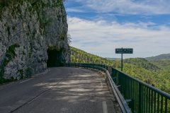
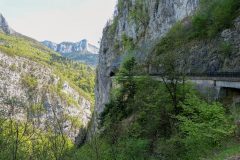
Distance: 21.9 miles. Elevation: 2635 ft.
Keen to capitalise on the current good weather, I planned a shorter and easier ride than yesterday’s killer. I aimed for the Col du Cucheron with a return via that gorge road that I discovered yesterday evening.
I set off at 12:42 and recorded reports into my phone as usual:
13:58 I’ve stopped here at the 8-and-a-bit mile mark, at St Pierre d’Entremont. There is a steep one mile section of 10% coming up at 9 miles so I’ve stopped here to have an energy gel. There is another similar steep section at 12 miles. Once those two are out of the way the rest should be merely agonising. Midway through recording this report a cyclist came up and started chatting to me. He was going in the other direction and had come from col du Granier. We spoke in French and looked at a map that was on the wall next to us.
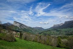
The weather today is absolutely perfect – sunny but with high clouds. The first part of the route was climbing through rural pastures so was exposed to the sun and was a bit too hot really.
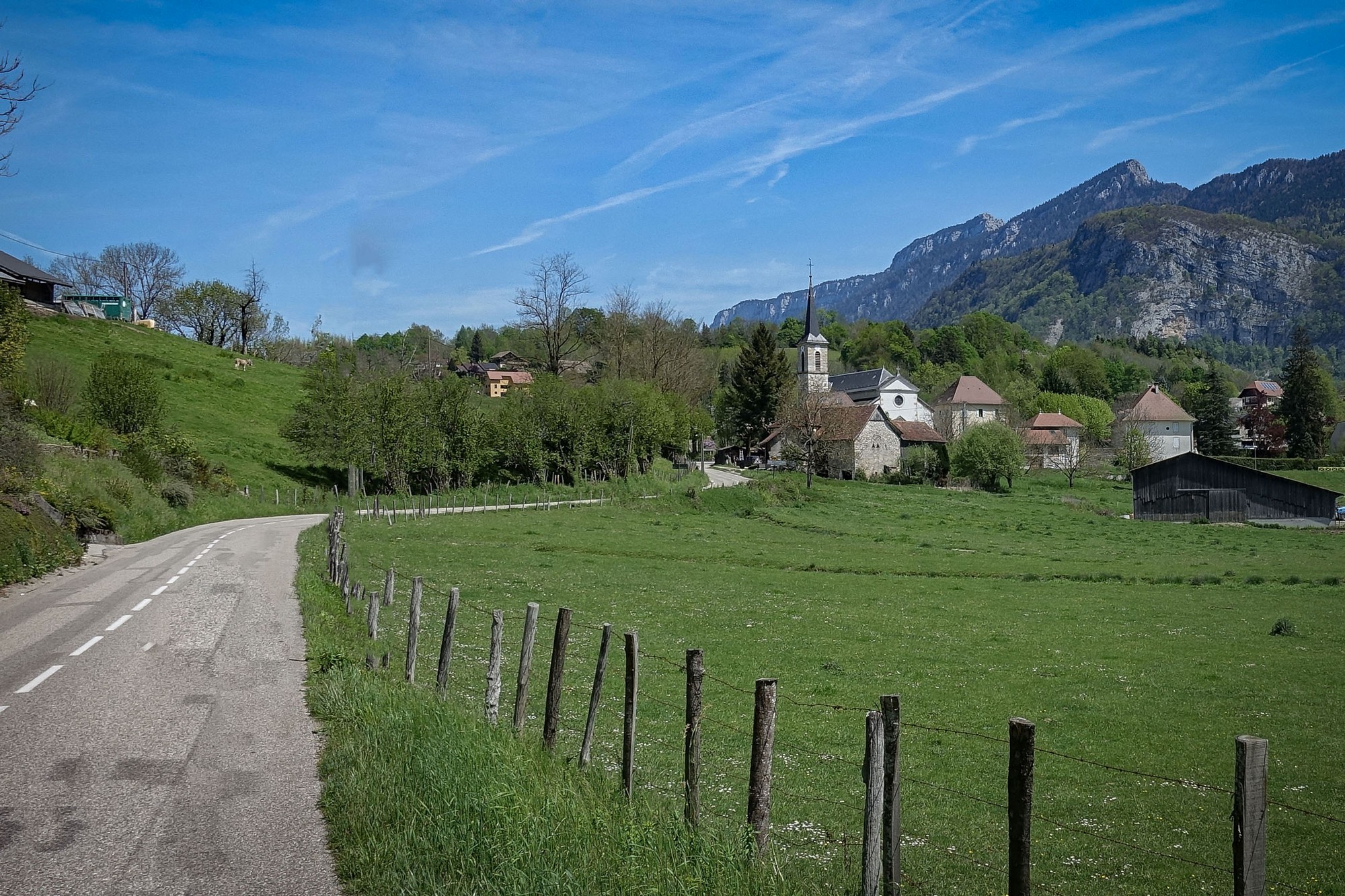
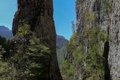
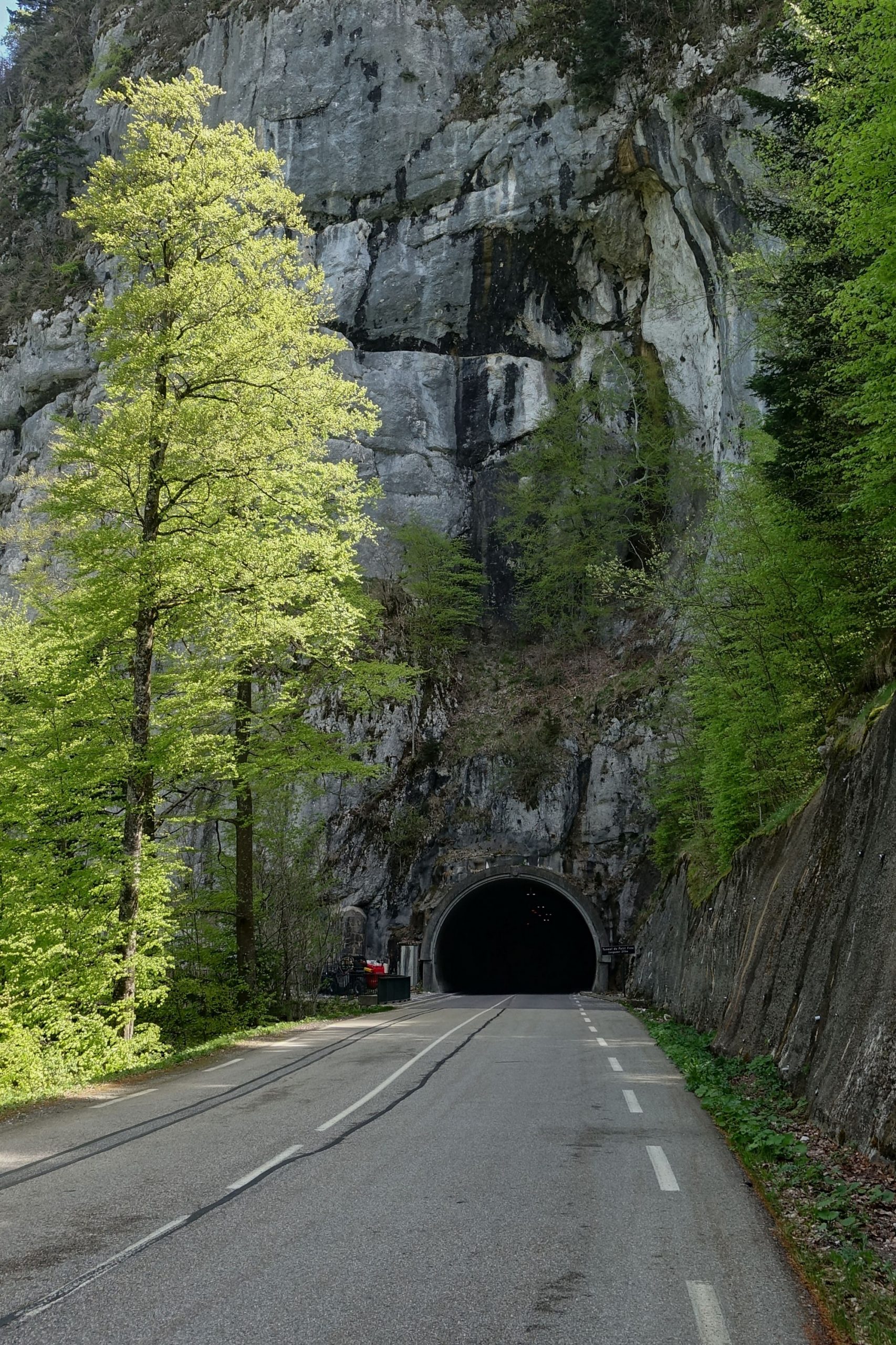
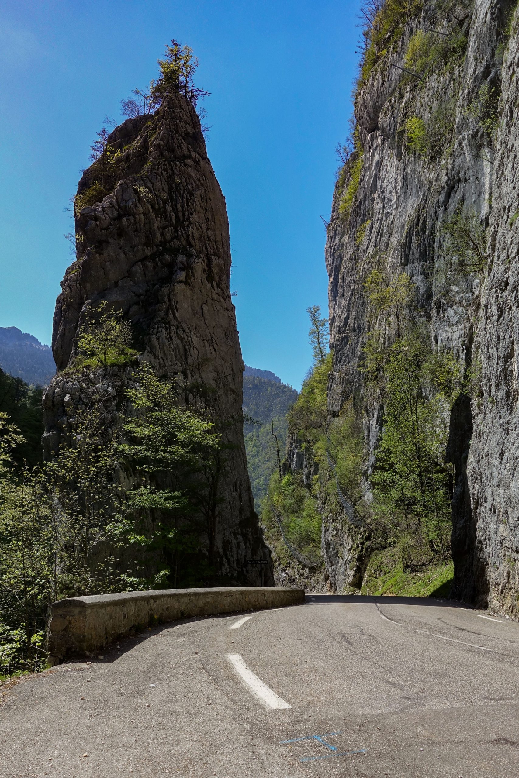
Then the road turned in towards the centre of the massif and has been following a gorge of some sort (Les Gorges du Guiers Vif)
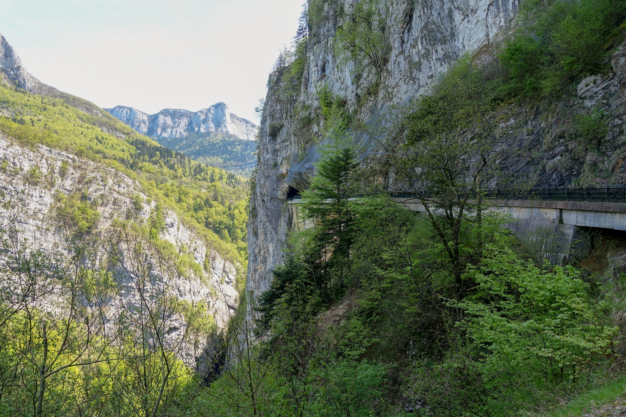
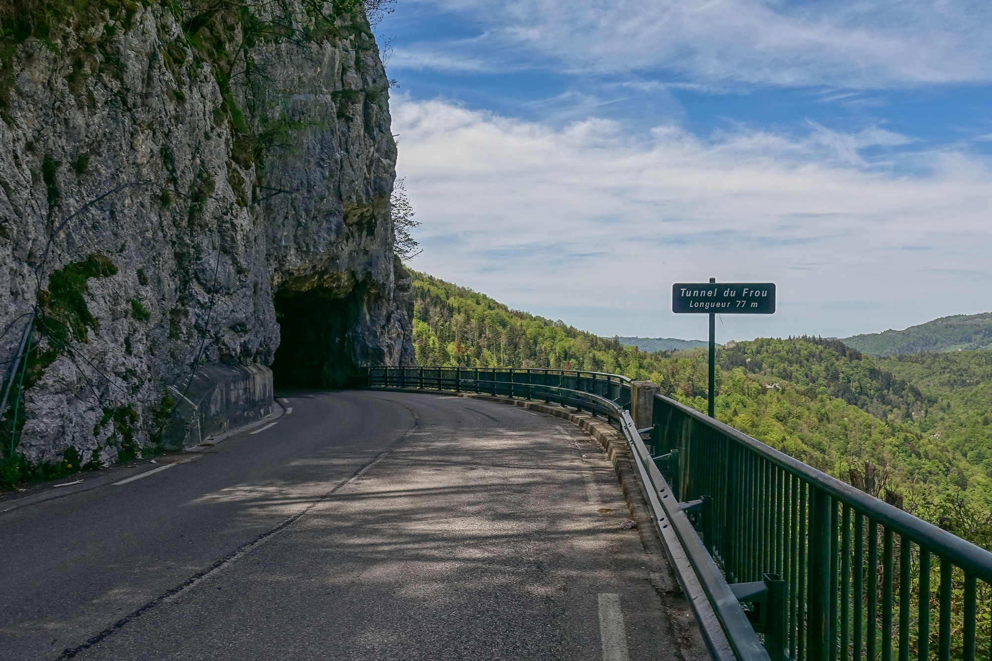
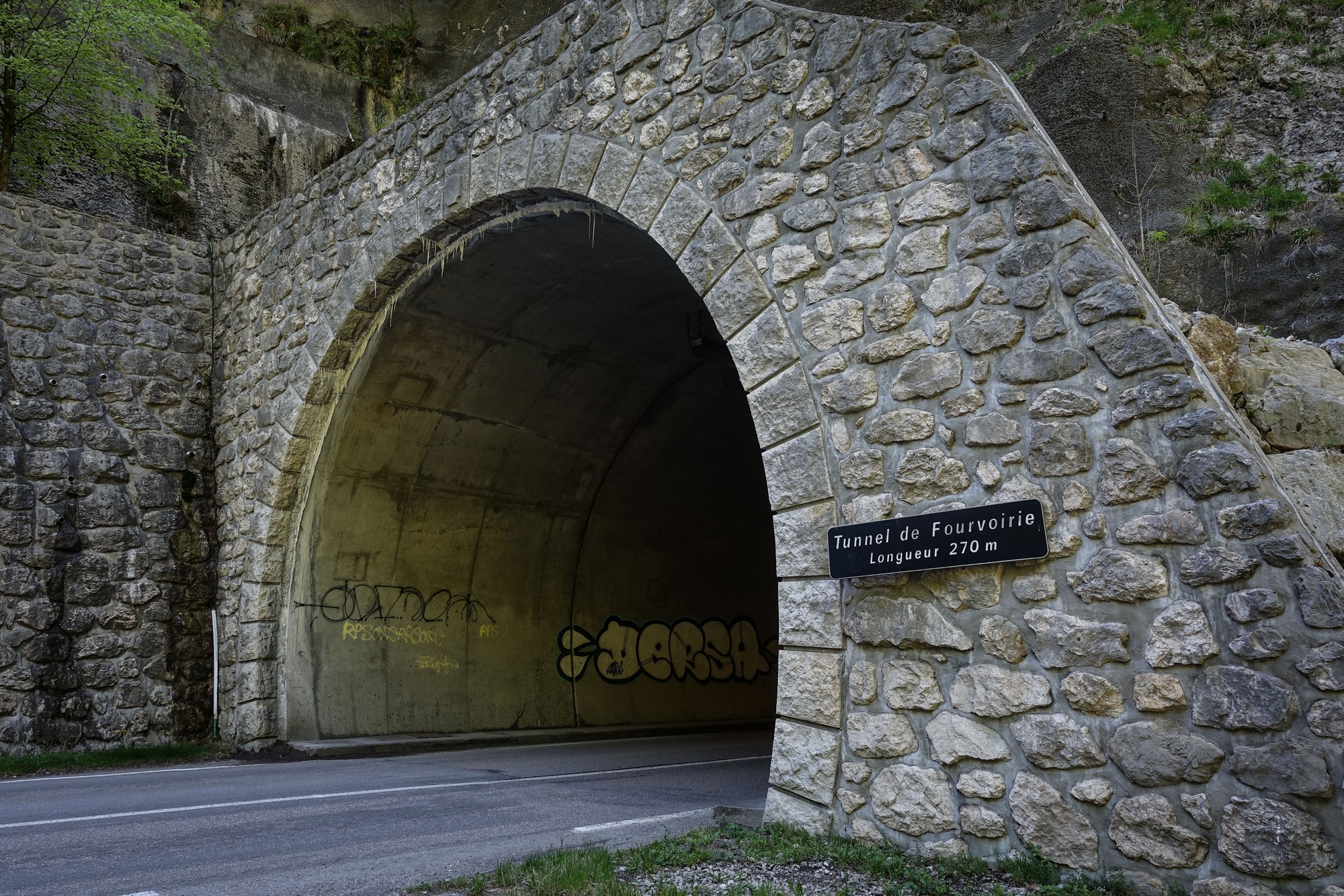
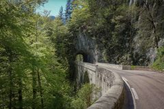
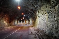
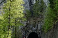
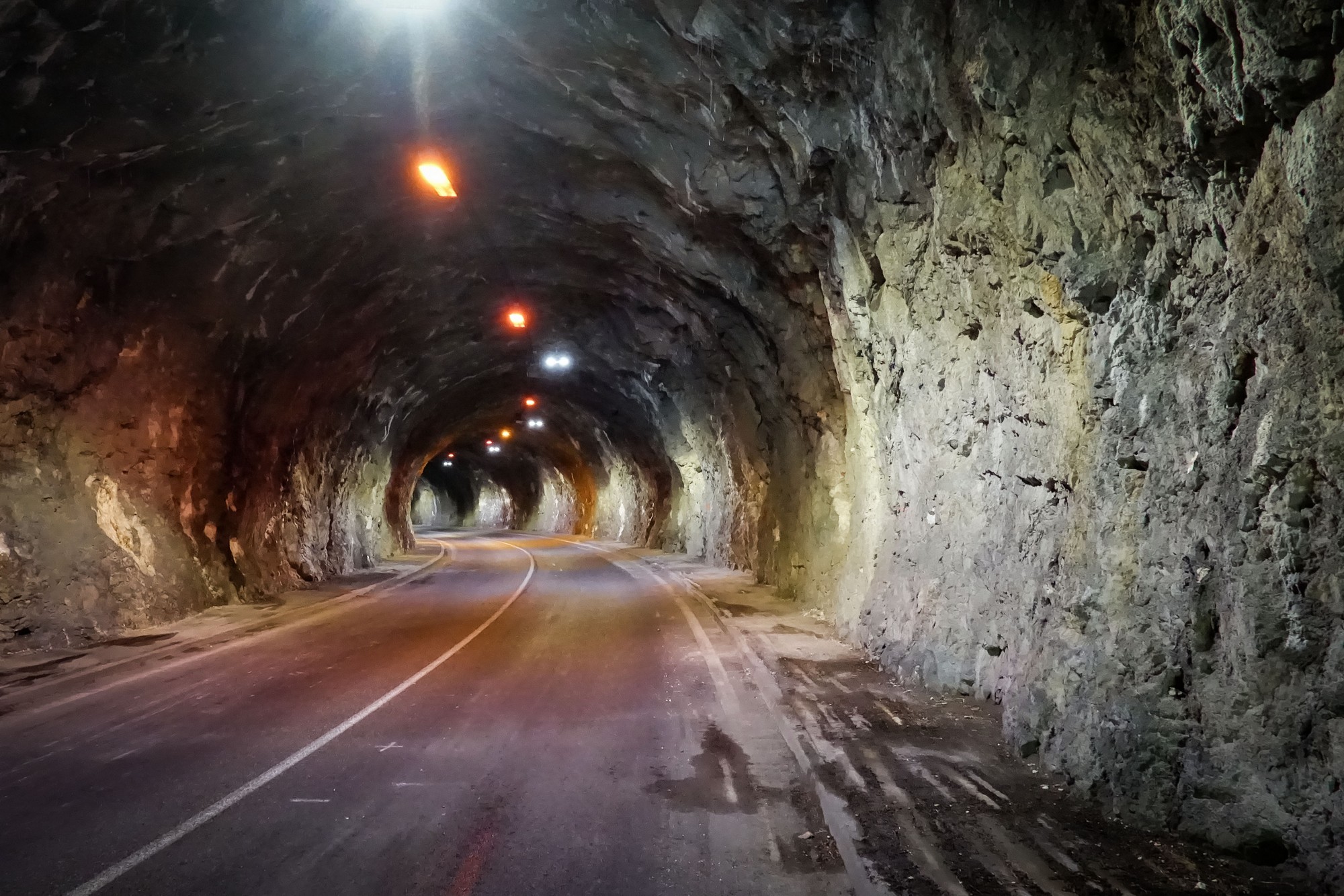
(Researching this part of my route a couple of days after the ride, I discovered its construction was similar to other roads I’ve been on (such as Les Grands Goulets or la Route des Ecouges, both in the Vercors) and was created in the late 19th century to open up access to villages in these mountain ranges. Often the roads were blasted out of the side of the rockface using dynamite. Unfortunately, more and more of the ‘risky’ parts of them have been bipassed with tunnels (as was the case further along in this ride) and other work done to protect them from rock-falls. Most of this has happened in the past 20 years. To think that when I first came to France in 1985, had I visited these roads I would have seen them in all their hair-raising glory! There’s a link below to some excellent photos of how the road used to look)
Absolutely beautiful roads and views as usual, with hardly any traffic, just the odd motorbike and car.
Every village I go through has a bus stop for the school bus.
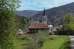
Even on the flat sections I’ve been taking it very easy, trying to save my energy for later. This place I’m sitting in has an absolutely enormous church, seemingly too big for the village.
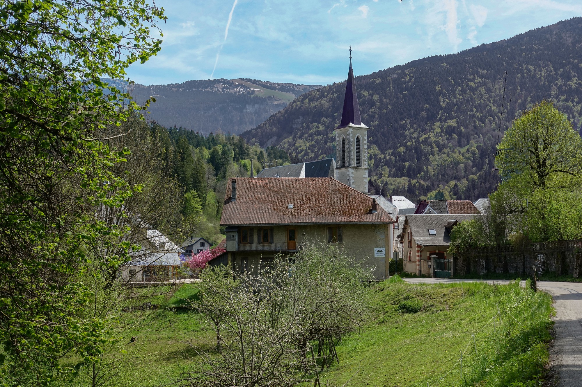
The Chartreuse is similar to the Vercors but it seems more populated and with maybe more infrastructure and services. Talking of services, there is a workman nearby setting up a new signpost pointing to the parking area. Typical municiple work that you see everywhere in France and almost nowhere in Britain. Of course the car park is free.
So I’m just about to set off into this nasty 10% climb. Earlier on I was wondering why I hadn’t I brought my gravel bike instead of the Colnago.
14:30 This report coming from the top of that steep climb, sitting in one of the aforementioned bus shelters. The climb wasn’t too bad considering that I was in the sun the whole time. I hope the next steep bit is in the shade. The high clouds are becoming more dominant and I can imagine that there won’t be much sun later in the day.
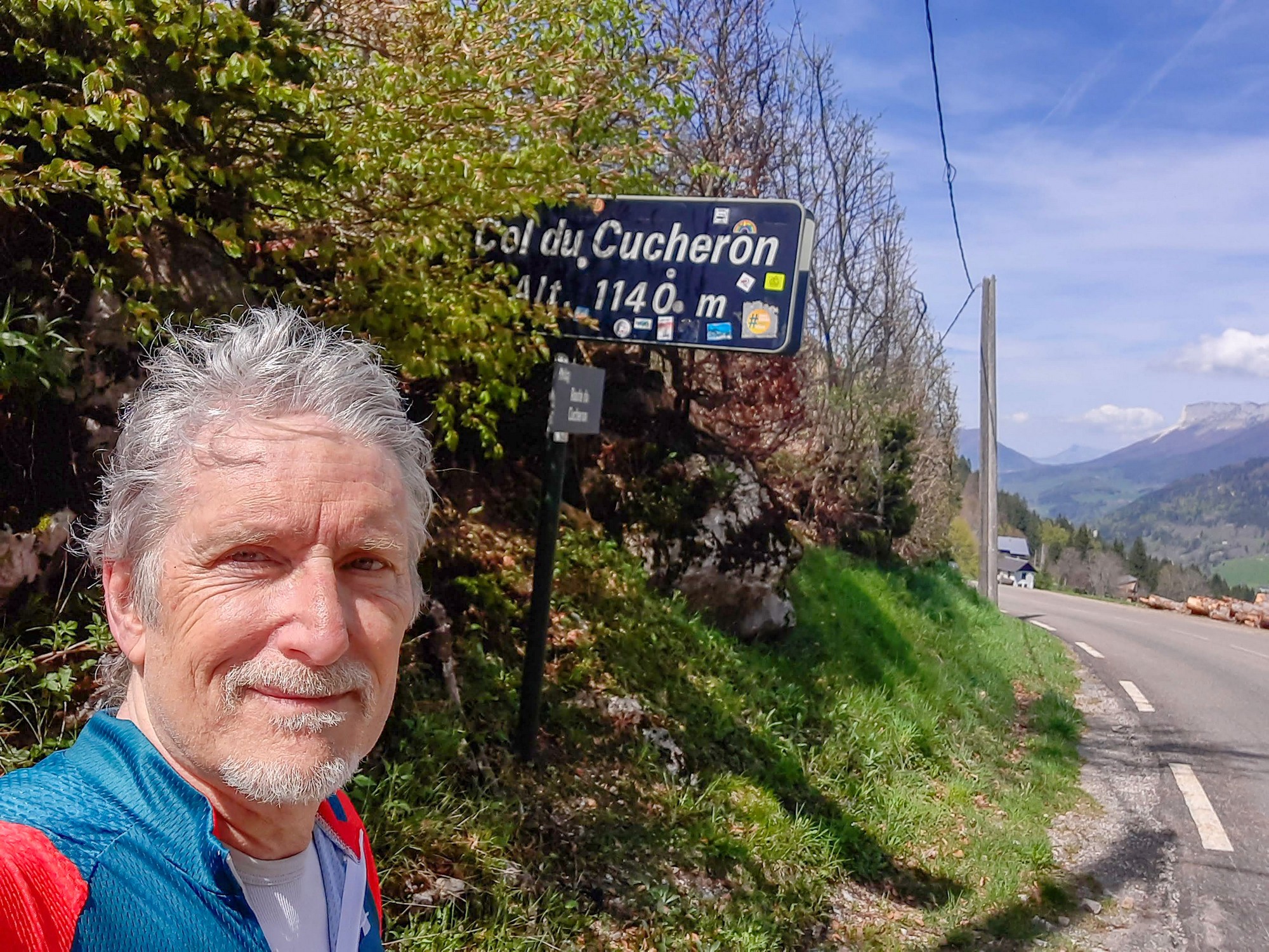
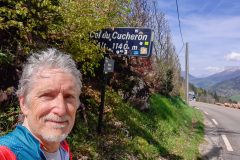
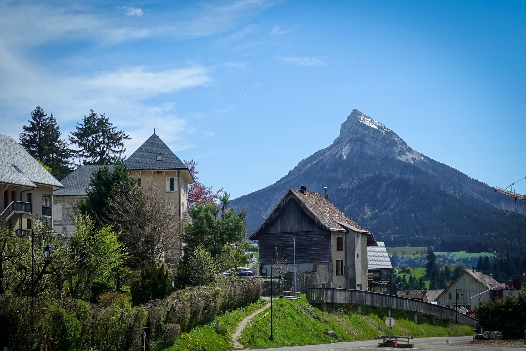
15:24 This report coming from the col du Cucheron.
I did it all in one go, apart from stopping for a photo.
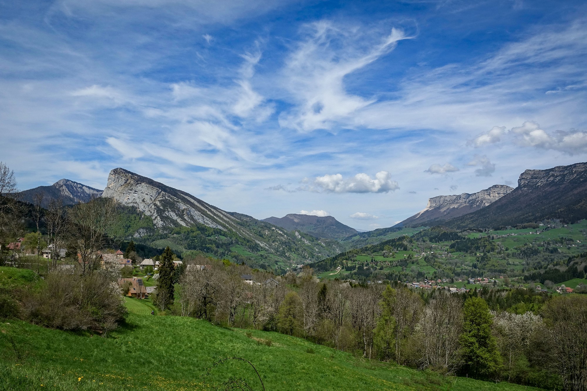
It got pretty steep at the end but you could sort of see the col in the distance, or at least the gap, so that gives you inspiration to keep pushing. It’s very windy up here and that was in my face a bit coming up the climb. Unfortunately most of the climb was in the sun. Now I’m going to eat my sandwich and enjoy the descent of that gorge that I came down yesterday evening.
There was a lovely 2½ mile descent down to Diat, which marked the beginning of the interesting gorge that I’d seen yesterday, Gorges du Guiers Mort. This time I would get lots of photos.
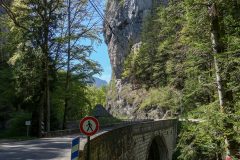
Just after this bridge..
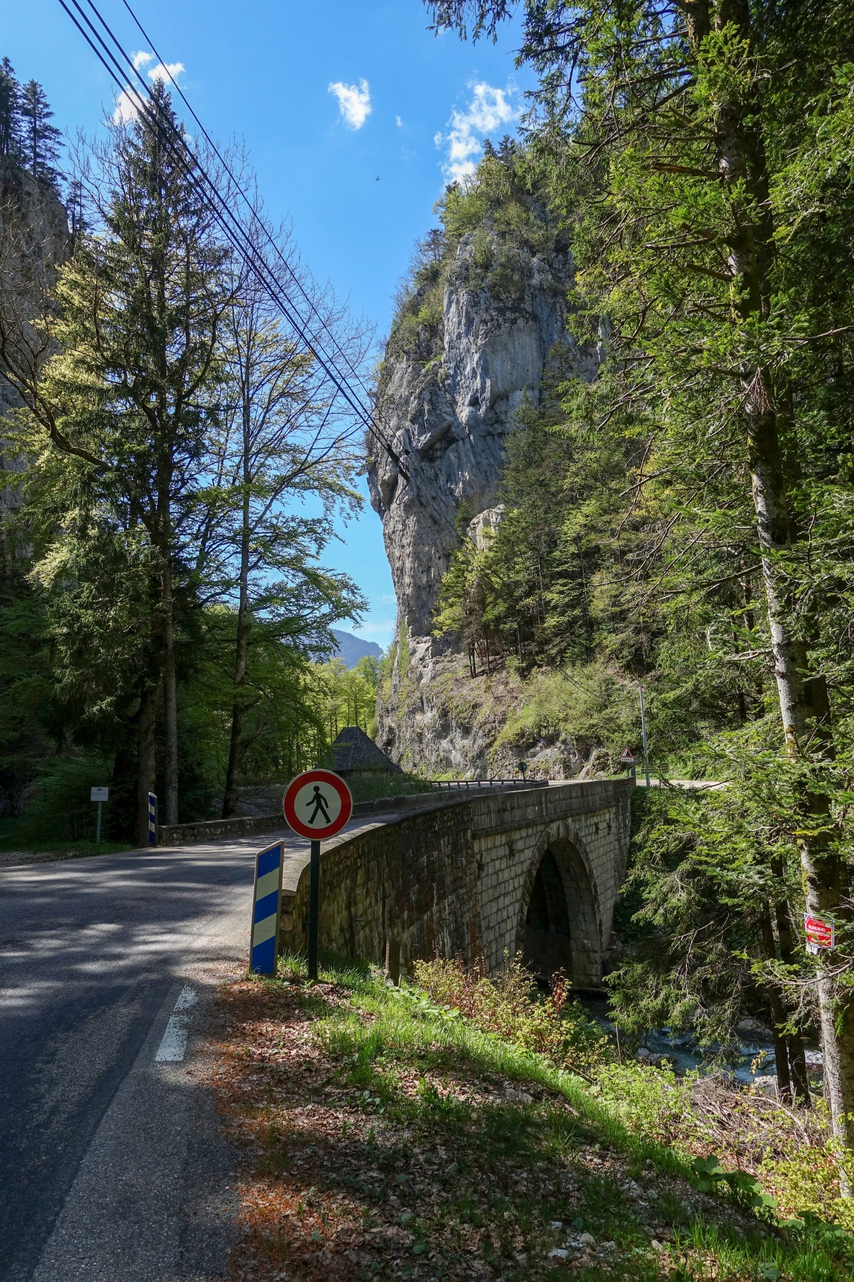
.. was another bridge..
..leading to a cave..
This area used to look like this (see Further Reading below for more wonderful pictures of this place from days gone by):
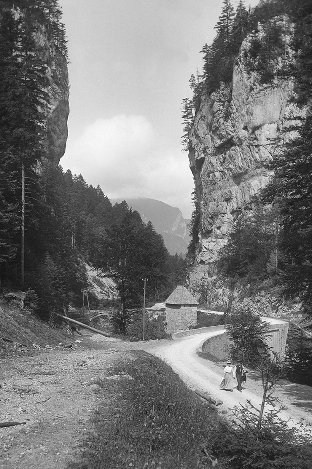
The bridge was originally gated, and guarded the area of the Chartreuse known as le Désert (domain belonging to the Carthusians) on the road to the Monastery.
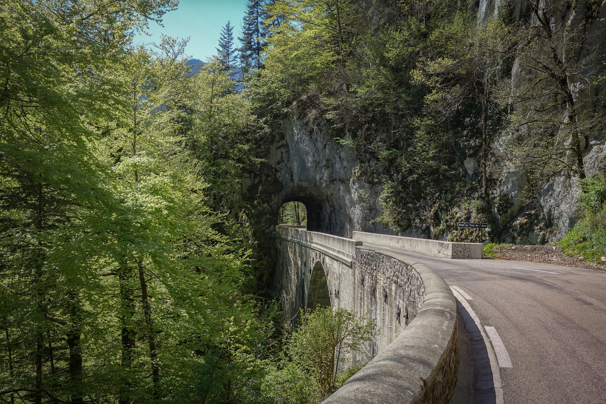
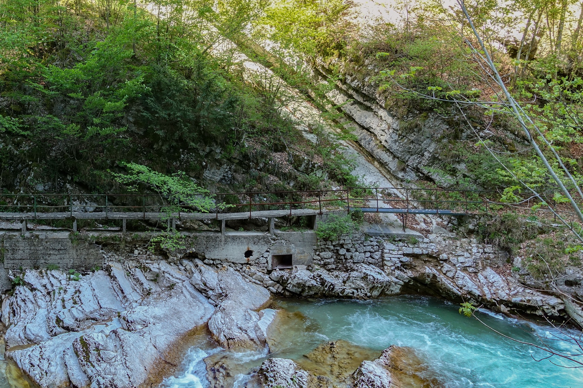
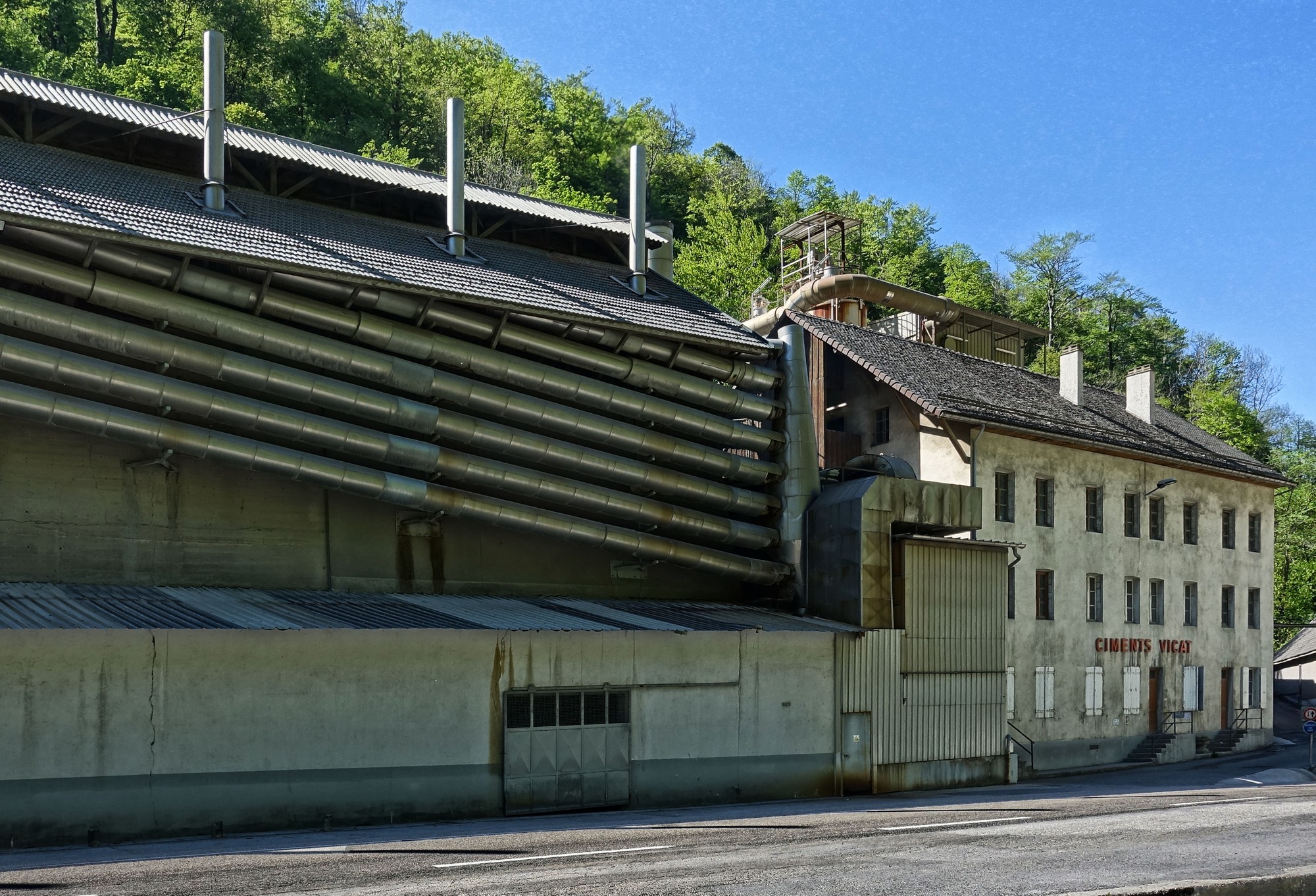
Just over an automated railway crossing are these small tunnels. The line seems connected to the cement works on the other side of the road.
The works have been there since 1872.
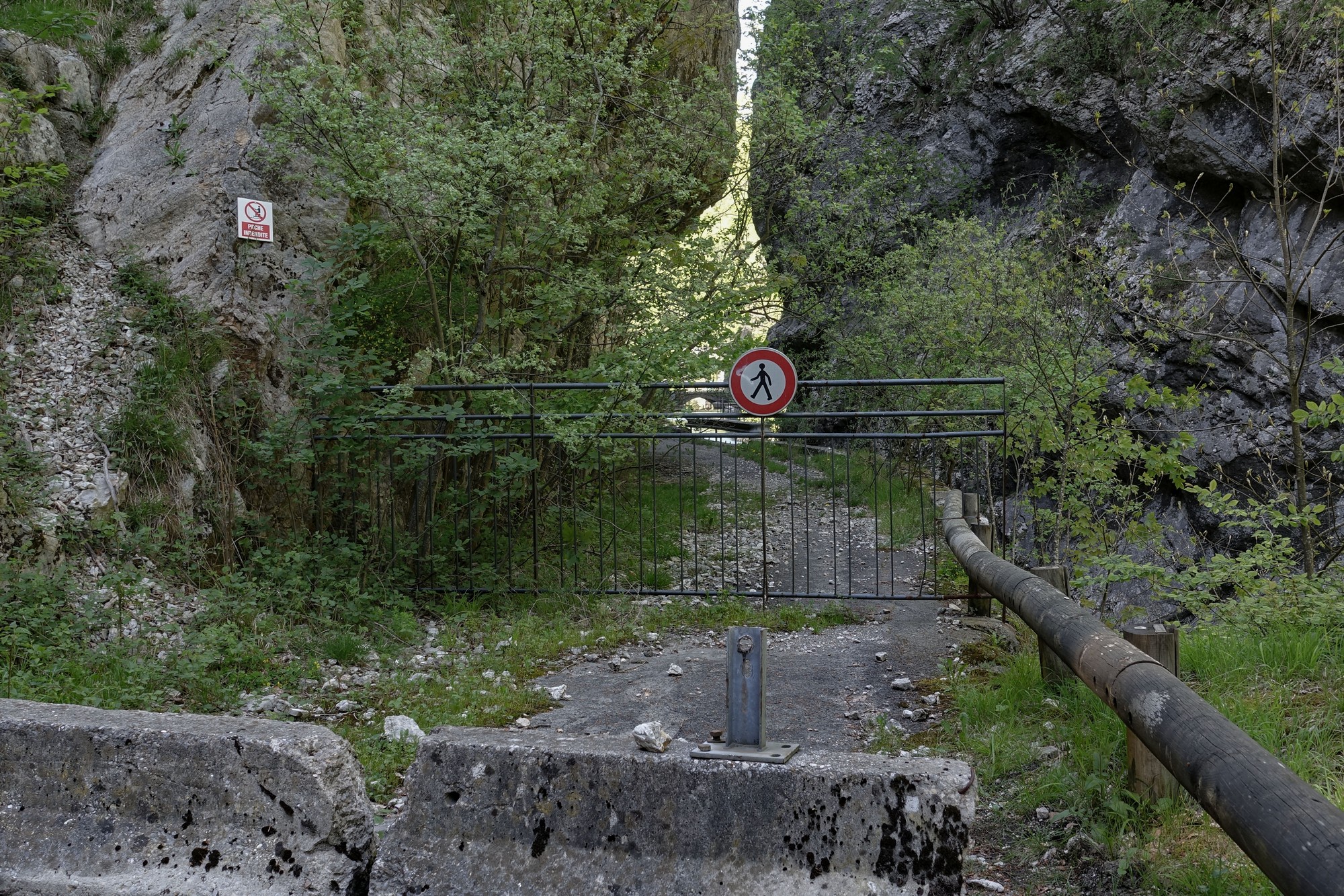
[Addendum: Regarding the photo above, I did eventually get to investigate that old road, a year later. See here for details]
The next interesting thing along this gorge is a group of abandoned buildings.
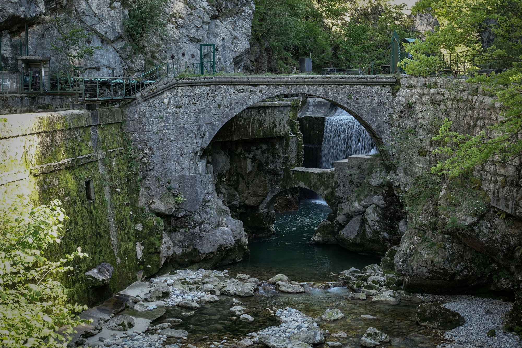
As far as I can find out, these buildings were connected with a forge. Just across the road to these is the building that used to house the old Chartreuse distillery. The old building was damaged by a landslide and the whole operation was moved elsewhere.
My ride ended just a few hundred metres further on, in Saint-Laurent-de-Pont, where I’m staying. I’m glad I went back to that gorge road and explored.
Fuel
Further reading
- Les forges et la distillerie de Fourvoirie About those abandoned buildings (in French – right-click to translate)
- Passage/Route du Frou Excellent collection of photos showing what the abandoned bit used to look like
- Porte de l’Enclos Excellent collection of photos showing what that bridge was like, and the history
Gallery
Click to enlarge / see slideshow


