Distance: 20.5 miles. Elevation: 3987 ft.
I just arrived in Briançon yesterday and have a couple of rides lined up from here. Well in fact there are loads round here I’ve planned but I won’t be staying long enough to do them all. So today’s lucky pick was Col du Granon. A tough climb that’s been used in the Tour de France a couple of times, initially and most notably in 1988, when Bernard Hinault’s reign came to an end when he lost the yellow jersey to Greg Lemond, never to wear it again.
On paper, today’s climb is not much more severe than my previous one to Col du Sabot. This one has a higher average gradient (9.2% vs 9%), but is two miles shorter (7 miles vs 9 miles), so in fact it sounds easier. But it wasn’t. I didn’t manage to keep out of first gear even though I stopped various times for photos. Still, I managed it without any problem.
I left at just after 11 am, wearing a base layer and short-sleeved jersey and NPT, with rain jacket and arm warmers in my backsack thing. The sun was out today so I paid more attention to sunblock than usual. Also I didn’t take a sandwich today, but a sandwich-sized piece of folded-over cold pizza. One bidon of energy drink and one of water (which I didn’t touch). Because of an absence of bananas, I had a pre-ride energy gel, knowing the climb would be starting early in the ride.
The sun was out but the air was cool and there was a headwind coming along the valley towards me. After two miles along the busy main road, I saw a sign for Col du Granon, but it wasn’t the road I had on my Wahoo route. Nevertheless I took it, and it turned out to be a better option, as it cut out another mile of the main road, providing instead a quiet ride through the village of Saint-Chaffrey.
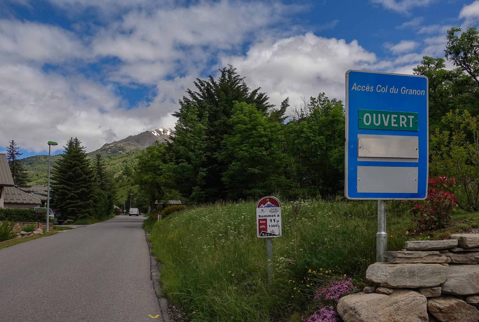
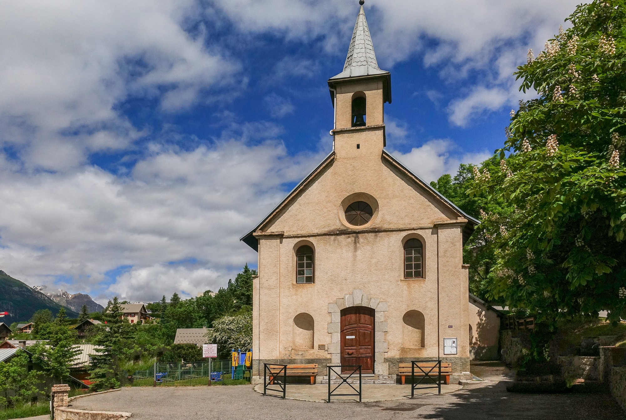
And just after Saint-Chaffrey is where the climb really begins. From there to the top, apart from a couple of very short stretches, the gradient never drops below 8% and is in fact nearer to 9% and more. It climbs very steeply through the actual village at 10 or 11%, then it’s into a sporadically tree-lined road with frequent views down to the valley and across to Serre Chevalier ski resort.
The air temperature was not too hot, which was good considering that the sun was on me nearly the whole time. The wind didn’t really come into play at this point. Trees by the road became very infrequent and eventually the green pasture turned more rocky.
The wind did eventually become a problem. I equated it in my head to the equivalent of the next lowest or highest gear. So if it was a headwind it felt like you’d changed to the next highest gear, and when it was behind you could really feel it helping, as if you’d changed to a lower gear. As the switchbacks changed direction so the wind would either help or hinder. I was trying (but failing) to picture the map of the route in my mind, trying to work out if the final stretch would be into the wind. Luckily it wasn’t and at last I passed the final borne kilometrique.
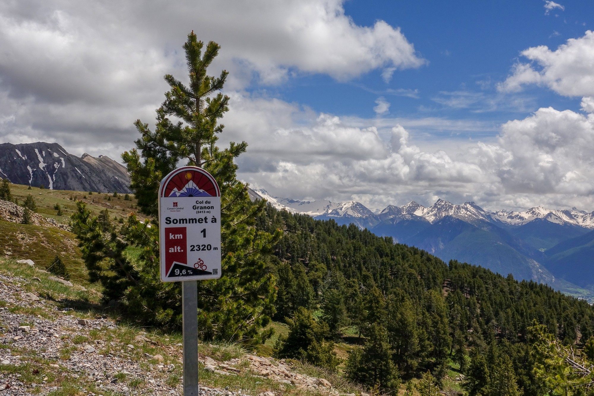
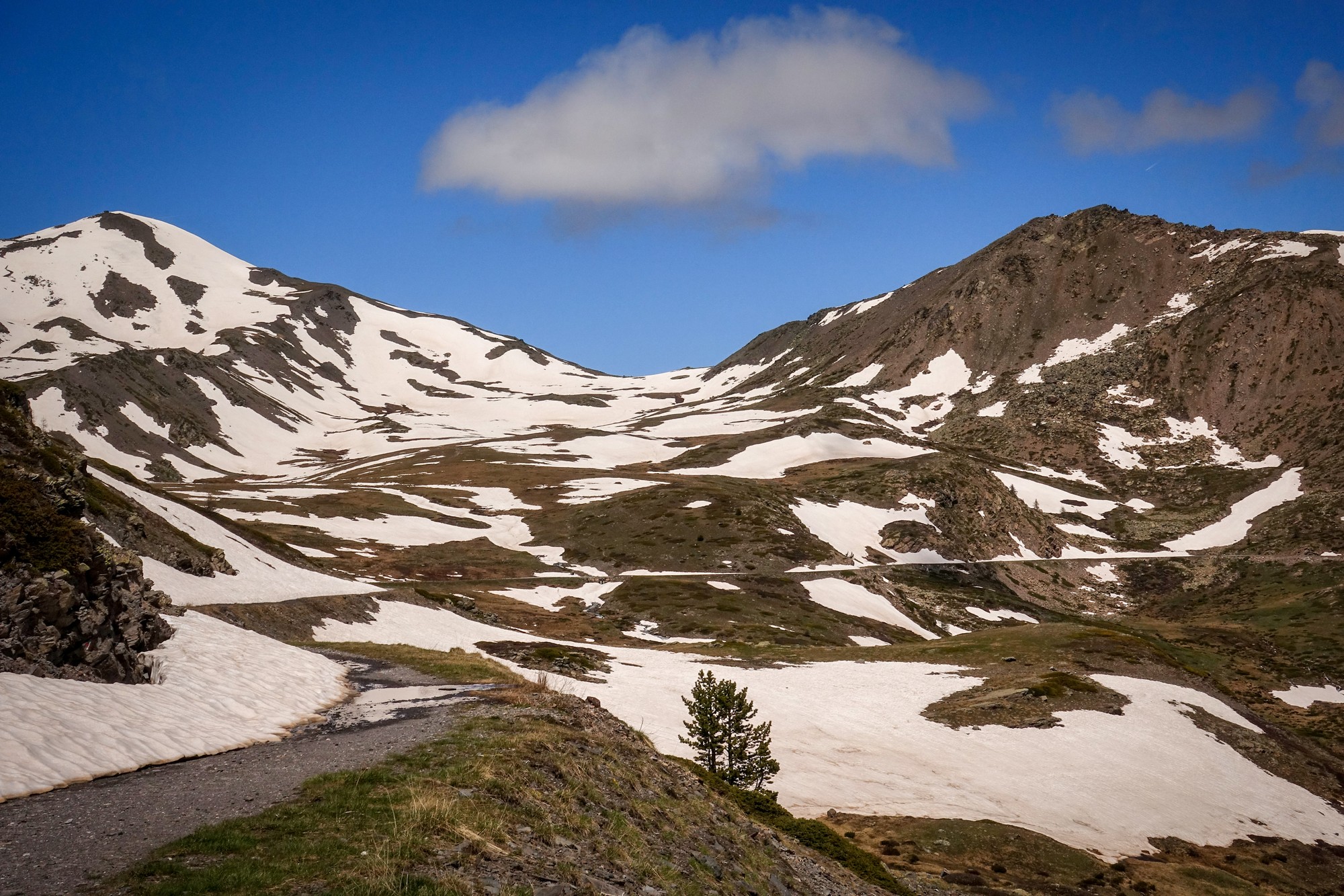
There was quite a bit of snow by the col and the wind was breezy but it had helped me up the last section. I had seen only two other riders to this point.
There were clouds over nearly all the mountains on the horizon, but the sky above was clear blue.
I rode to see the view down the other side of the col.
I spotted a table d’orientation so I part rode, part walked to it. There was another ‘col sign’ there, similar to the one I’d seen last year at Col du Galibier, but this high piece of ground is not the actual col. However, the 2413 m is accurate for here, next to the table d’orientation, whereas the col itself is only 2404 m (according to IGN maps), even though the sign says 2413.
I rode back down to the col and then a bit further to some military buildings, so I could shelter from the wind while I ate my folded pizza.
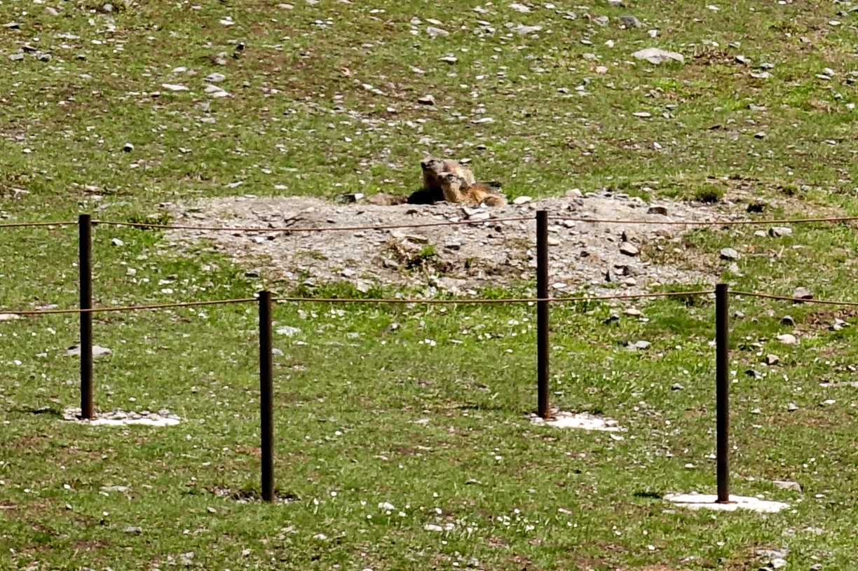
I saw a couple of marmots round by those buildings but didn’t get a decent shot.
So I started to make my way back down, knowing I would be stopping for loads of photos. On the way up I had made a mental note of things to photograph on the way down – some blue flowers, a waterfall, and a rock. The air was cool at this altitude; my Wahoo recorded a temperature of about 12°C at this point. I had my arm warmers and rain jacket on.
So the rest of this post can be told in photos. I did see more and more cyclists as I made my way down. And inevitably the temperature increased to be very comfortable.
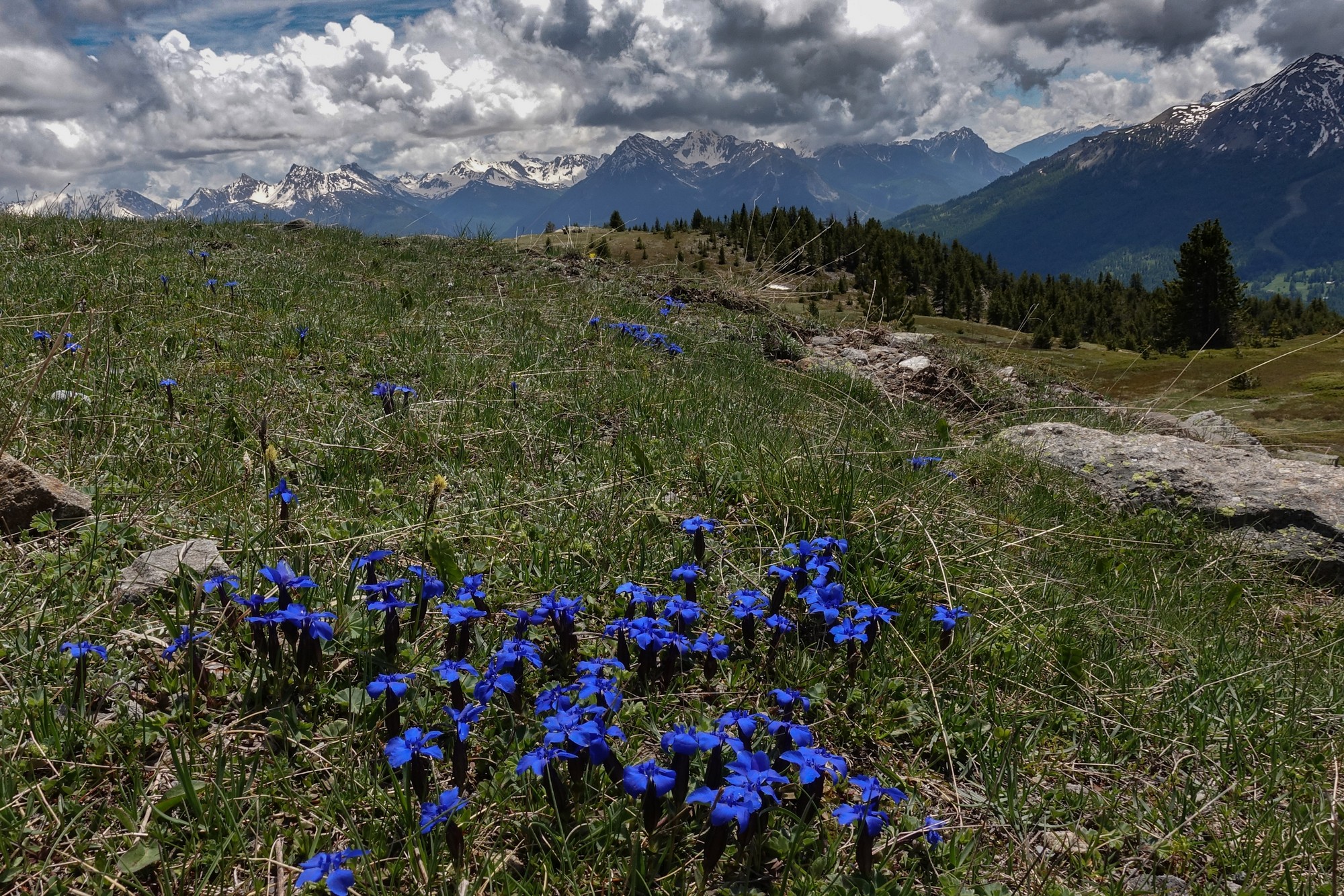
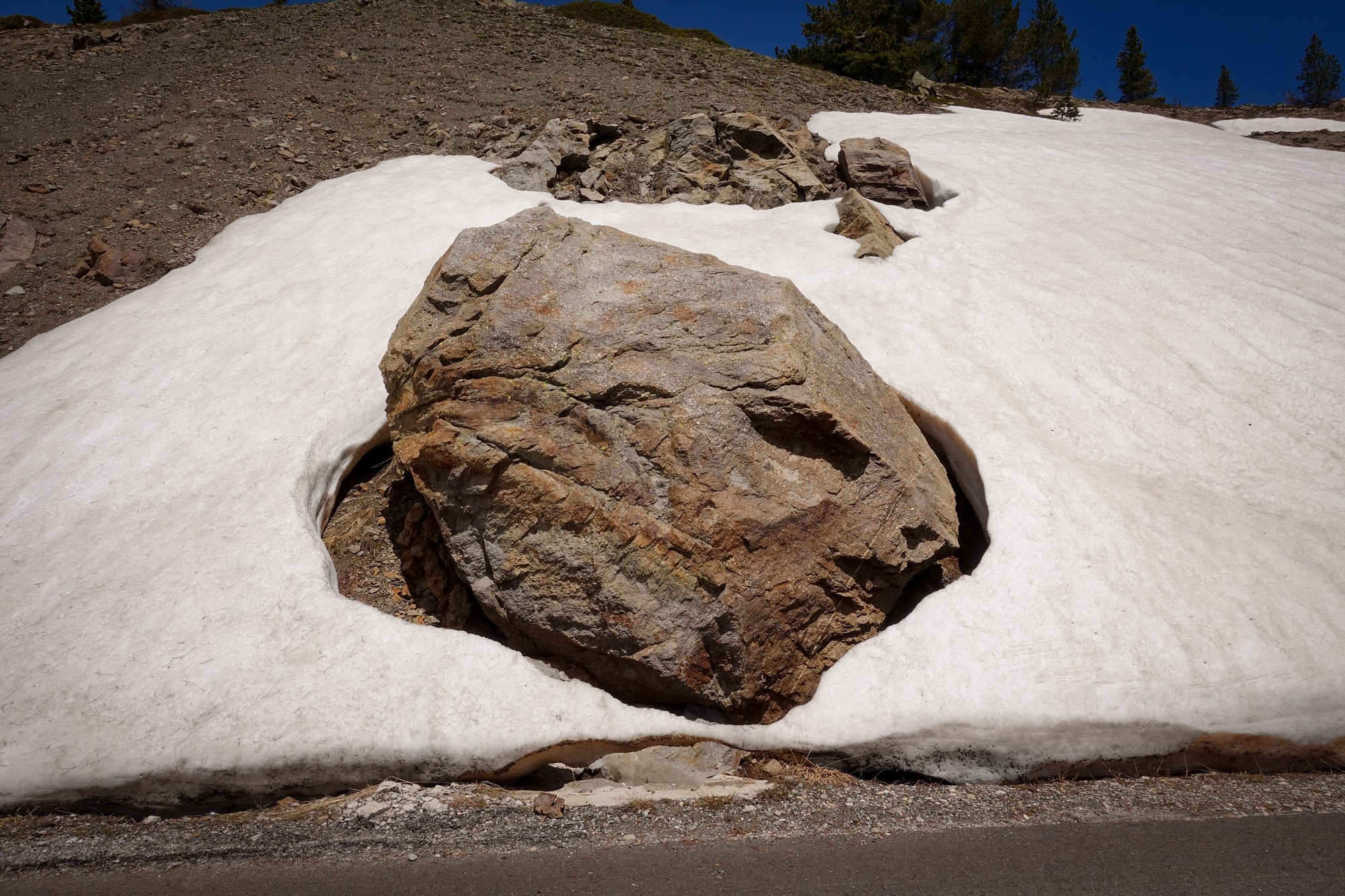
As can be seen from the photos, most of this climb is in the open with views all around. Much of it is above the tree line. Given the severity of the gradient I expect this would be a tough climb to do on a hot day. The temperature for my ride today varied from about 23°C max, down to about 12°C towards the top – ideal.
Col du Granon is the fifth highest paved pass (through road) in the French Alps, although, like Col de la Moutière, it’s only tarmac on one side. So that’s another of the 2000m+ cols ticked off my list!
Further Reading
- Le col du Granon dans le Tour de France (right click to translate from French)
- Tour de France 2022: Vingegaard wins on Col du Granon to take yellow
- Col du Granon – Tour de France 1986 Stage 17 – YouTube video of the climb to the summit finish
Note
All over the web, there are two different altitudes given for the Col du Granon, 2,404 m and 2,413 m. I’m trying to find out which one is correct. My Wahoo measured the elevation as 2,411 m. How accurate that is, I don’t know. Most Tour de France official literature gives it as 2413. And yet IGN maps give it as 2,404, and you’d think they would know what they’re doing! If I find out more I’ll post something here.
Gallery
Click to enlarge / see slideshow




C’est très beau Vince !!! Chouette récit comme d’habitude et les photos sont magnifiques ! Le Col du Granon manque encore à mon palmarès mais je ne désespère pas de le faire un jour…
Merci pour vos aimables commentaires Joris. J’espère que vous trouverez le temps de faire le Col du Granon un jour, mais de préférence pas un jour de températures élevées..
Excellent stuff Vince, and I’m loving the new (?) header pic .. Oui, ‘l’Elévation’ n’est pas un point fixe, par exemple le niveau de la mer est c. 20 cm plus haut dans le Pacifique que dans l’Atlantique 😉
Thanks for your comment Jame.
C’est vrai, mais…. reference “sea level” is usually measured locally, so in France they use the sea level at Marseilles (avg). Although wherever they measured it from wouldn’t account for the 9m difference in the elevation figures for Col du Granon. At some time in the past I expect someone has used the wrong value (maybe for the table d’orientation) and the error has been perpetuated over time, the way these things do.
Cheers