Distance: 28.3 miles. Elevation: 4308 ft.
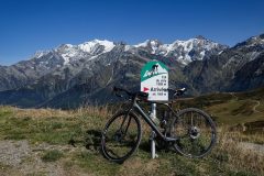
Over the past few rides, I’ve been catching improving glimpses of Mont Blanc, but from afar. After yesterday’s ride to Col de la Grand Colombier, I drove 40 miles east to Beaufort, in the Massif du Beaufortain. Today’s ride to the Col du Joly took me even closer to the highest mountain in Western Europe, affording me the best view yet.
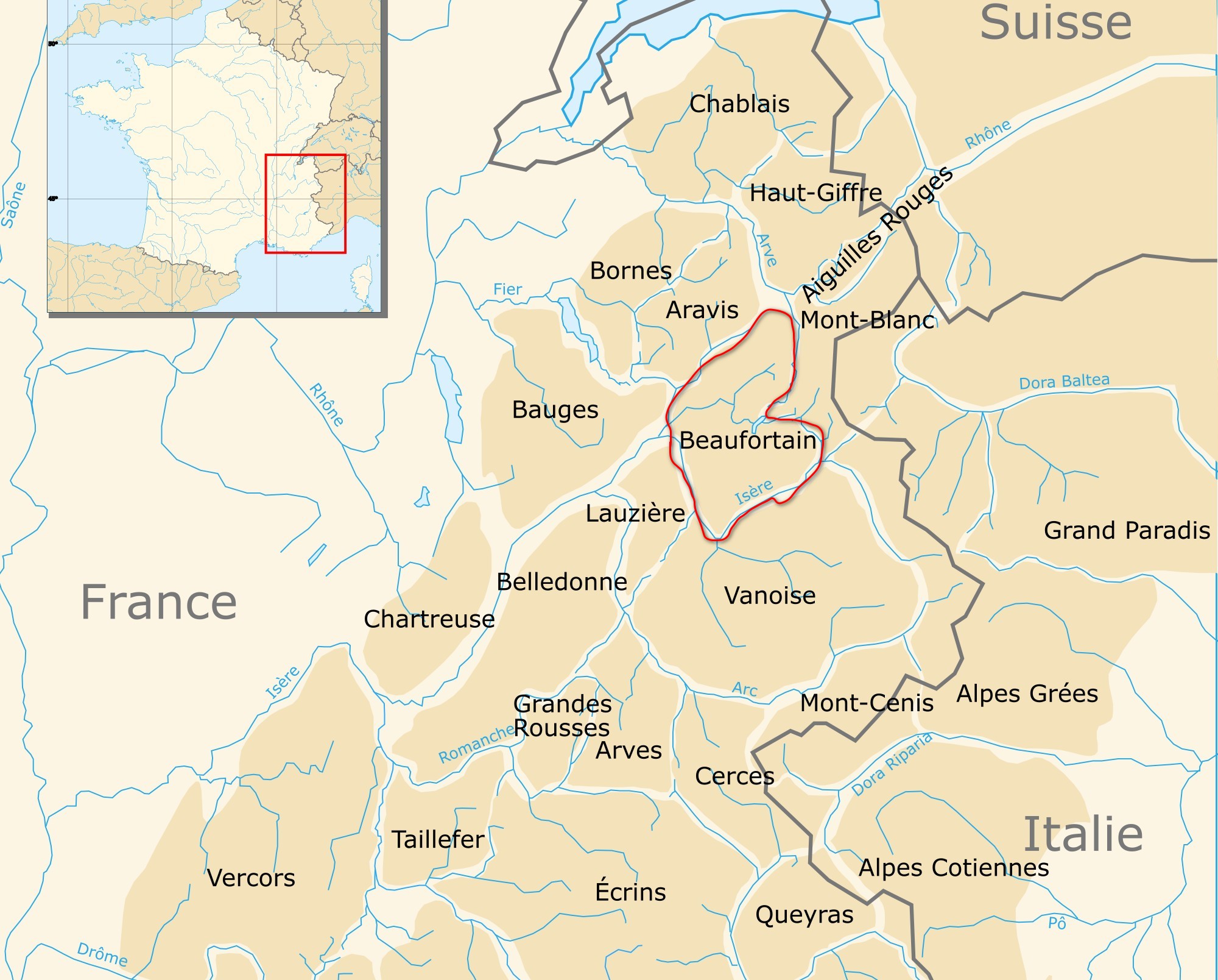
The road to the Col du Joly doesn’t go anywhere beyond the col, tarmac-wise at least. Obviously it goes somewhere, otherwise it wouldn’t be a proper col. Consequently there is hardly any traffic past Hauteluce. Also, unusually, the Google Streetview car hasn’t imaged the road beyond Hauteluce, so it was to be a ‘mystery’ as to what those final ten miles to the top would look like. Unfortunately I’d already read about the view at the top, so that didn’t come as the breathtaking revelation it would otherwise have been. Still, I’ve had enough stunning scenery surprises in France to last me a lifetime, I think.
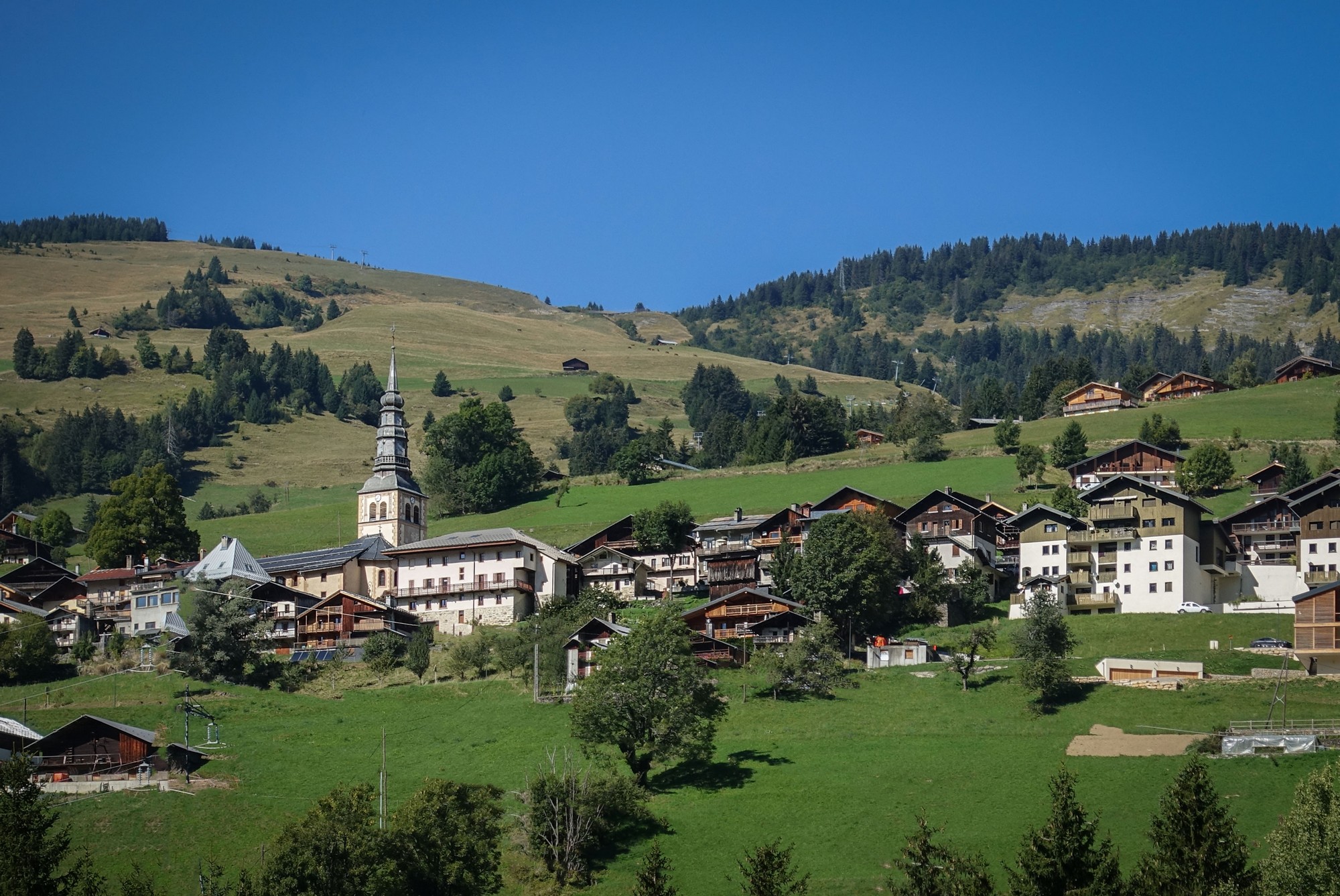
I left at midday, first riding through the lovely, and bustling, town of Beaufort. The road was quite busy from there to the turn off.

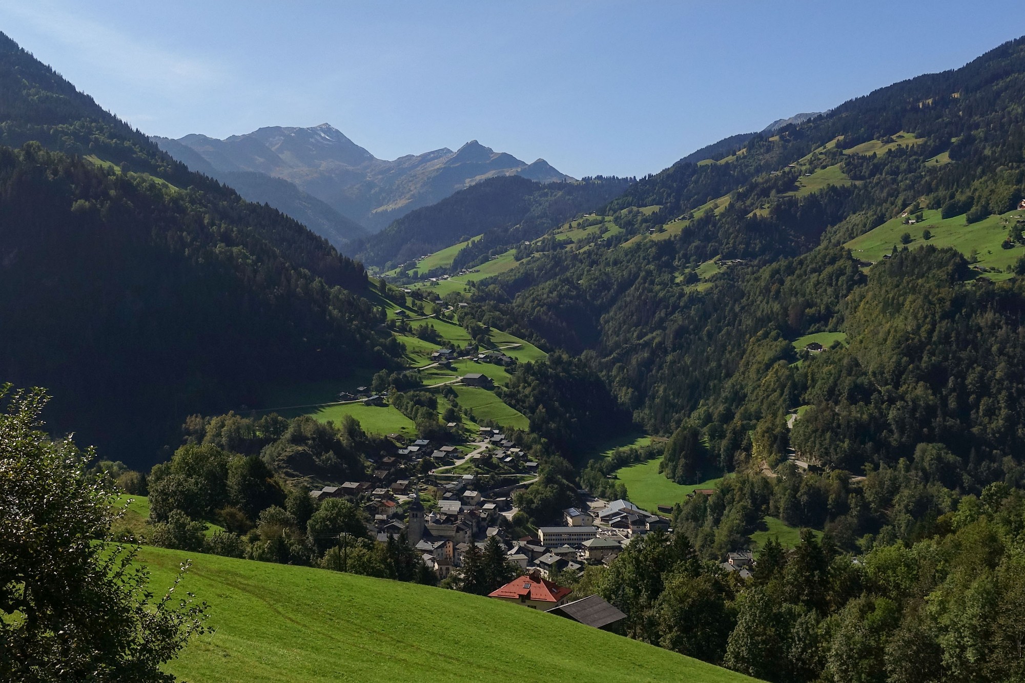
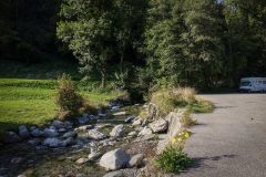
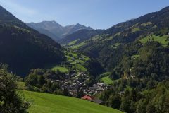
The climb starts off with a statement of intent – a mile and a half at 8%. Initially tree-lined but then opening to pastures and chalet-studded hillsides, as the road follows the Gorges du Dorinet with the river down on my left, out of sight mainly, if not out of earshot.
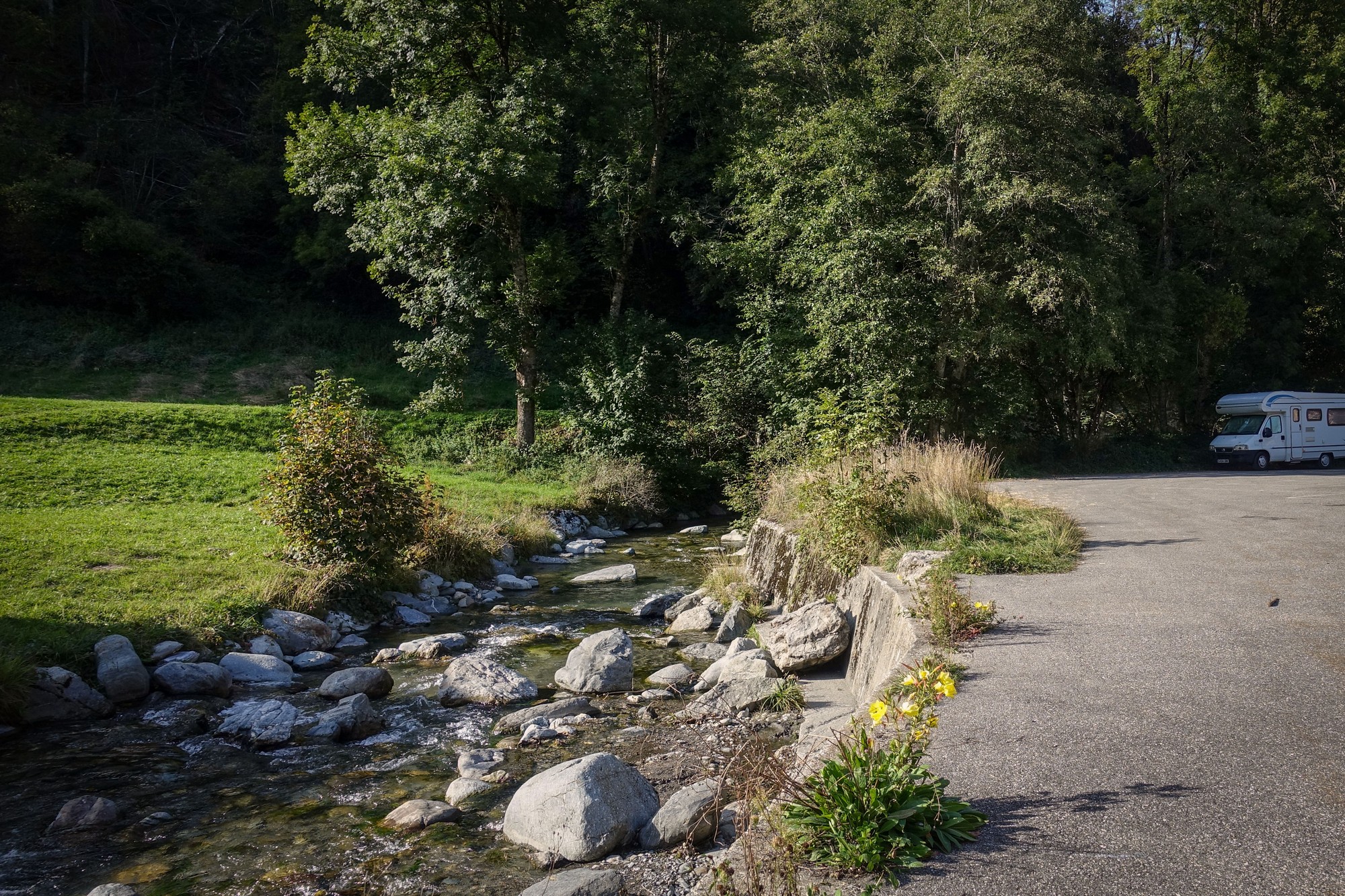
There was still quite a bit of traffic on that valley road. That’s not really too surprising given the number of houses in these hills. I’m soon above Beaufort and looking back down at it, almost able to see my van.
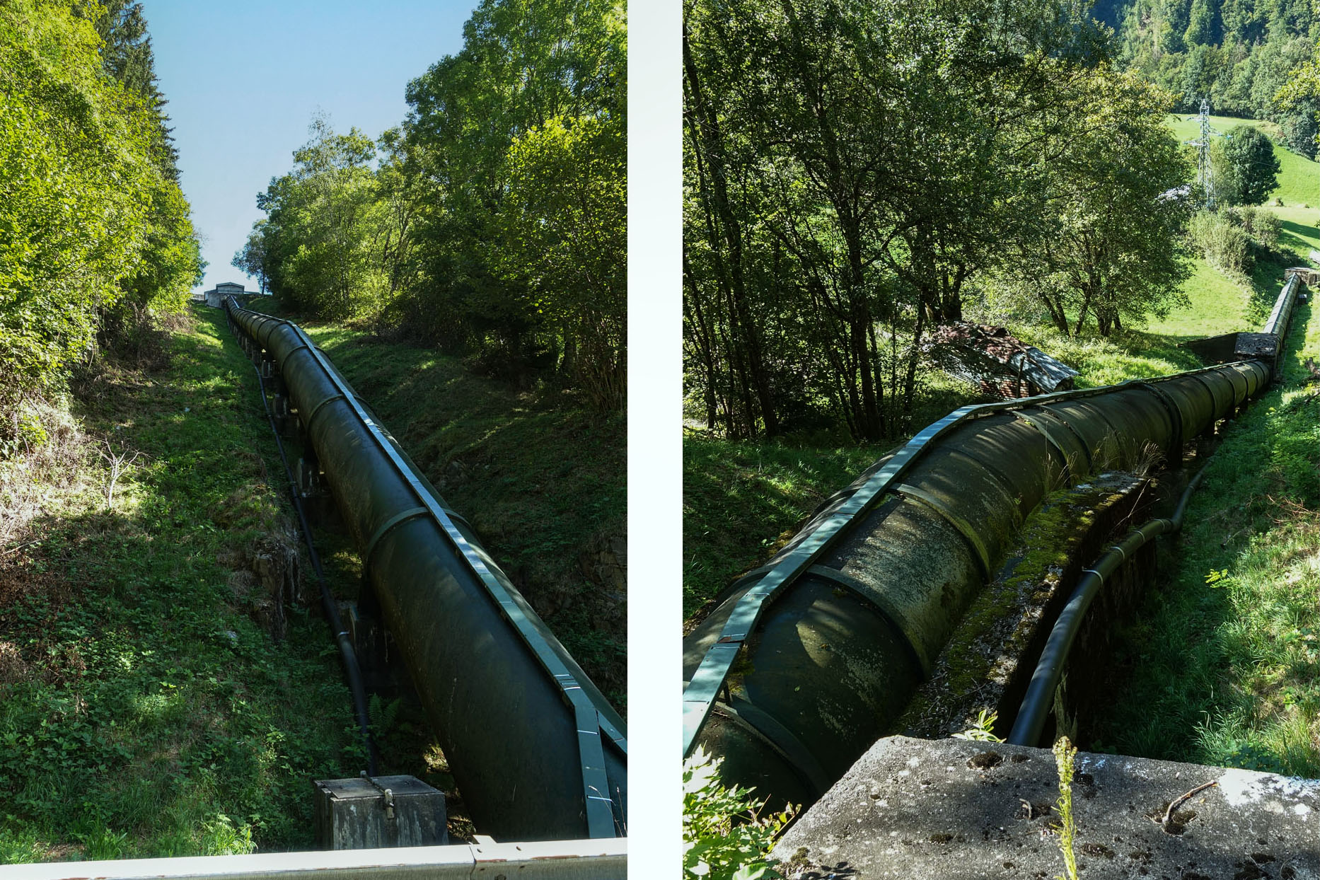
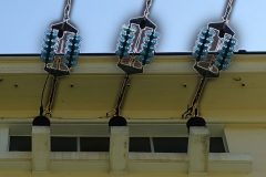
In one of the wooded sections the road crossed a penstock, a huge pipe channeling water down to the Centrale Hydroélectrique de Beaufort, a power station somewhere to my left, below. You don’t often see them this close to the road.
The next 5.5 miles are reasonably easy at only 4% avg, and that includes a km at 7%, so it’s mainly nearly flat other than that.
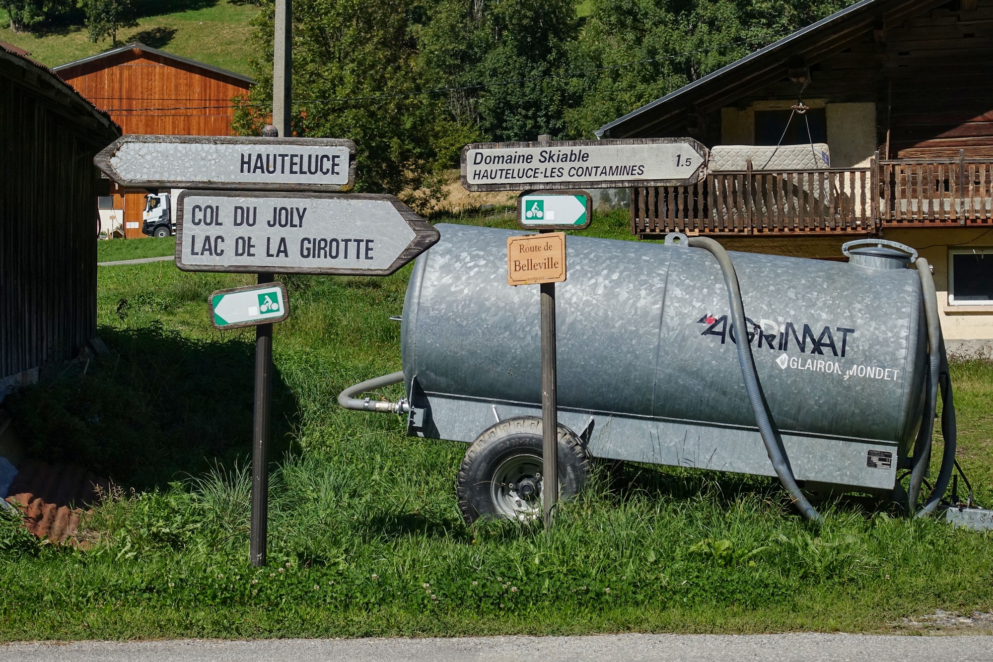
Turning away from the direction of Hauteluce takes you all the way to the EDF plant at Belleville, and that’s where the fun begins.
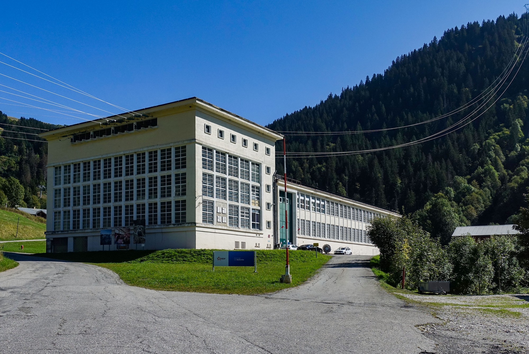
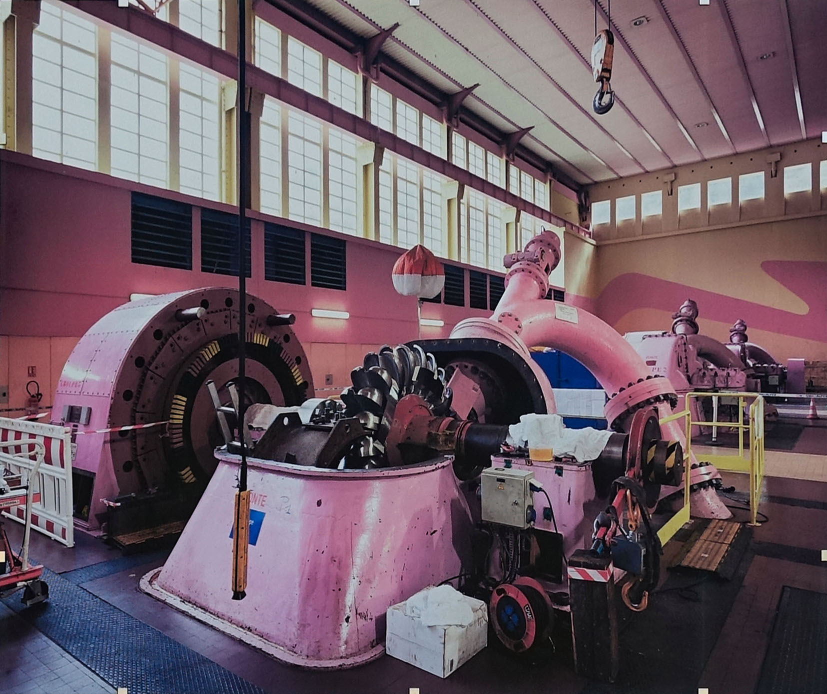
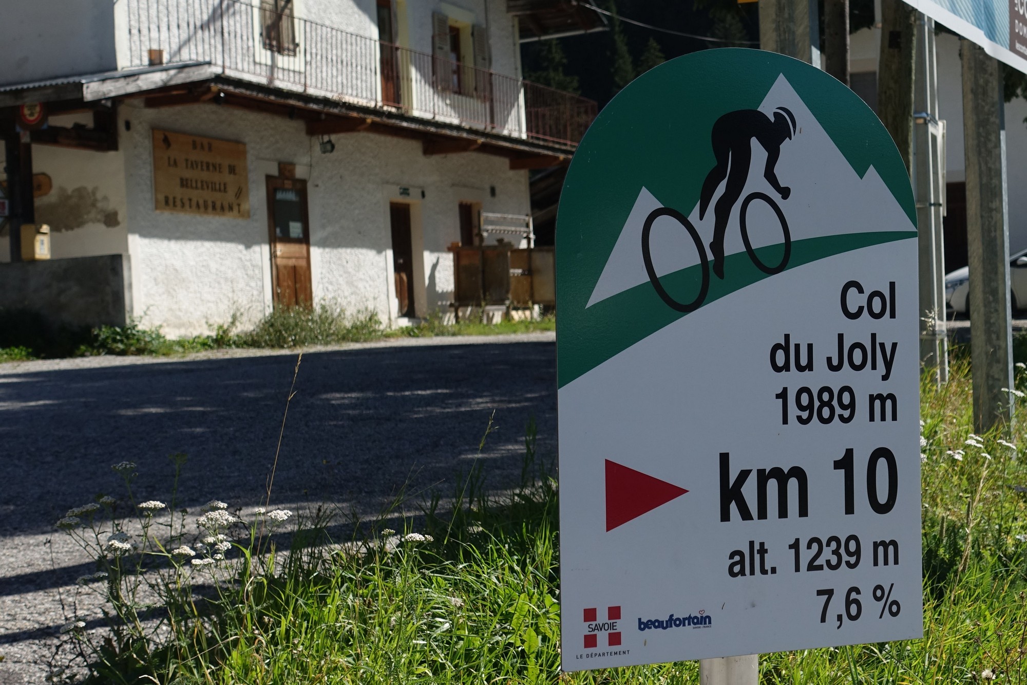
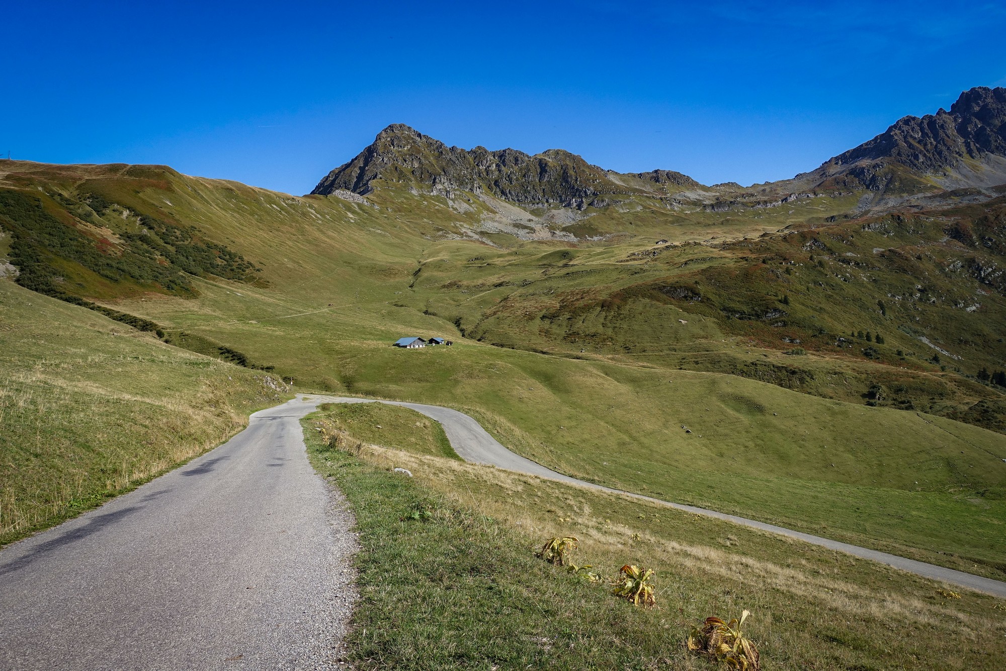
From that point on it was an 8% climb to the col. The road was very quiet. Less than ten vehicles passed me during the two hours it took to cover those seven miles (90 mins moving). The hum from the power plant receded below, as did the noises of various works going on further down the valley, until it was just me and the grasshoppers and the odd bird call. Often the grasshoppers were on the road surface in front of me, more than I’ve seen before. I only saw a couple of km markers – the first was at the power plant.
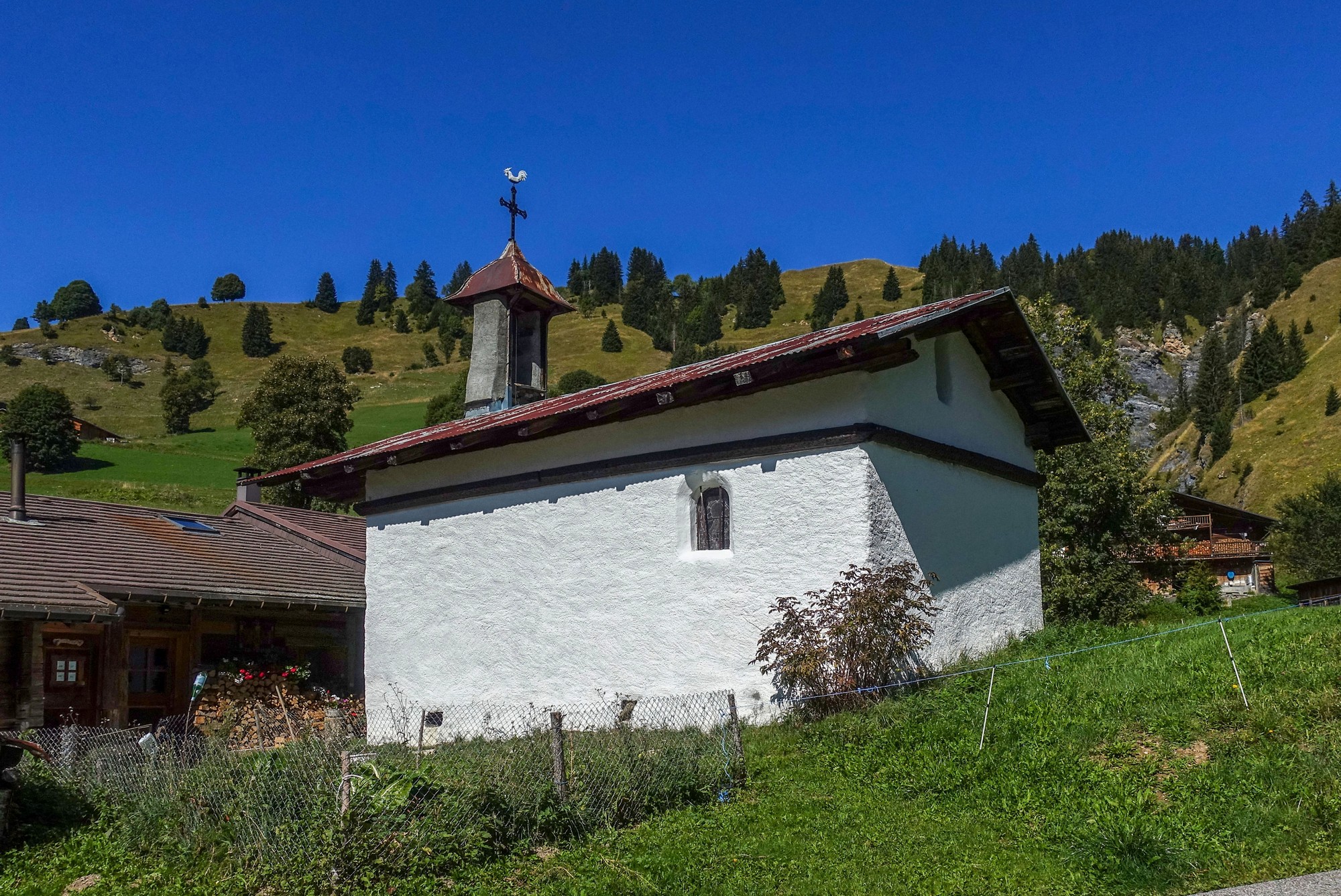
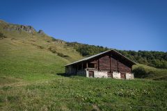
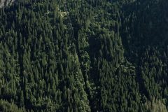
The chalets gradually petered out, the higher I went.
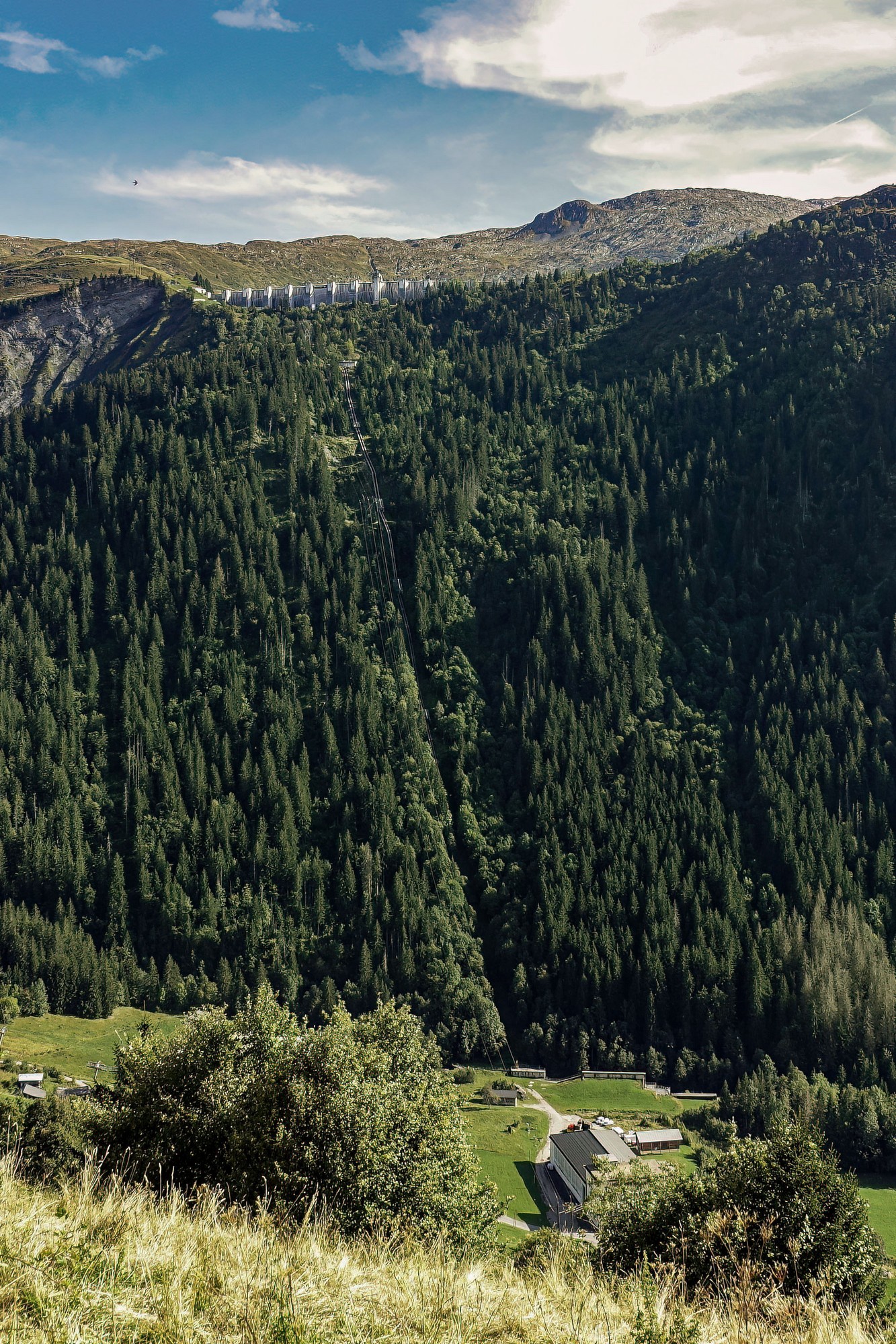
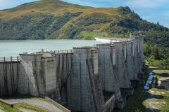
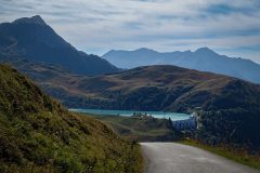
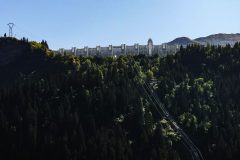
Twenty minutes uphill from the power plant I caught sight of the wall of the dam, le Barrage de la Girotte, high above me. That dam holds the source of water for the Belleville power station below.
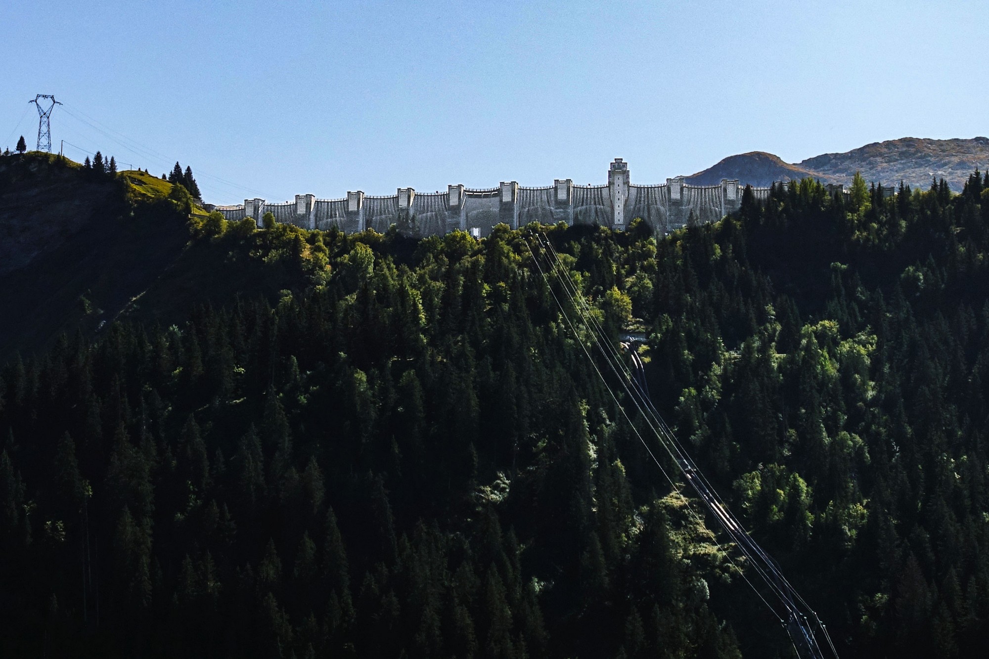
I enjoyed being in the sun – it had been a bit too cold in the wooded sections earlier. I didn’t get too hot today, despite all the sun.
I’d had a banana before starting the ride, and had two energy gels from EDF onwards. I drank nearly a bidon of juice over the whole ride.
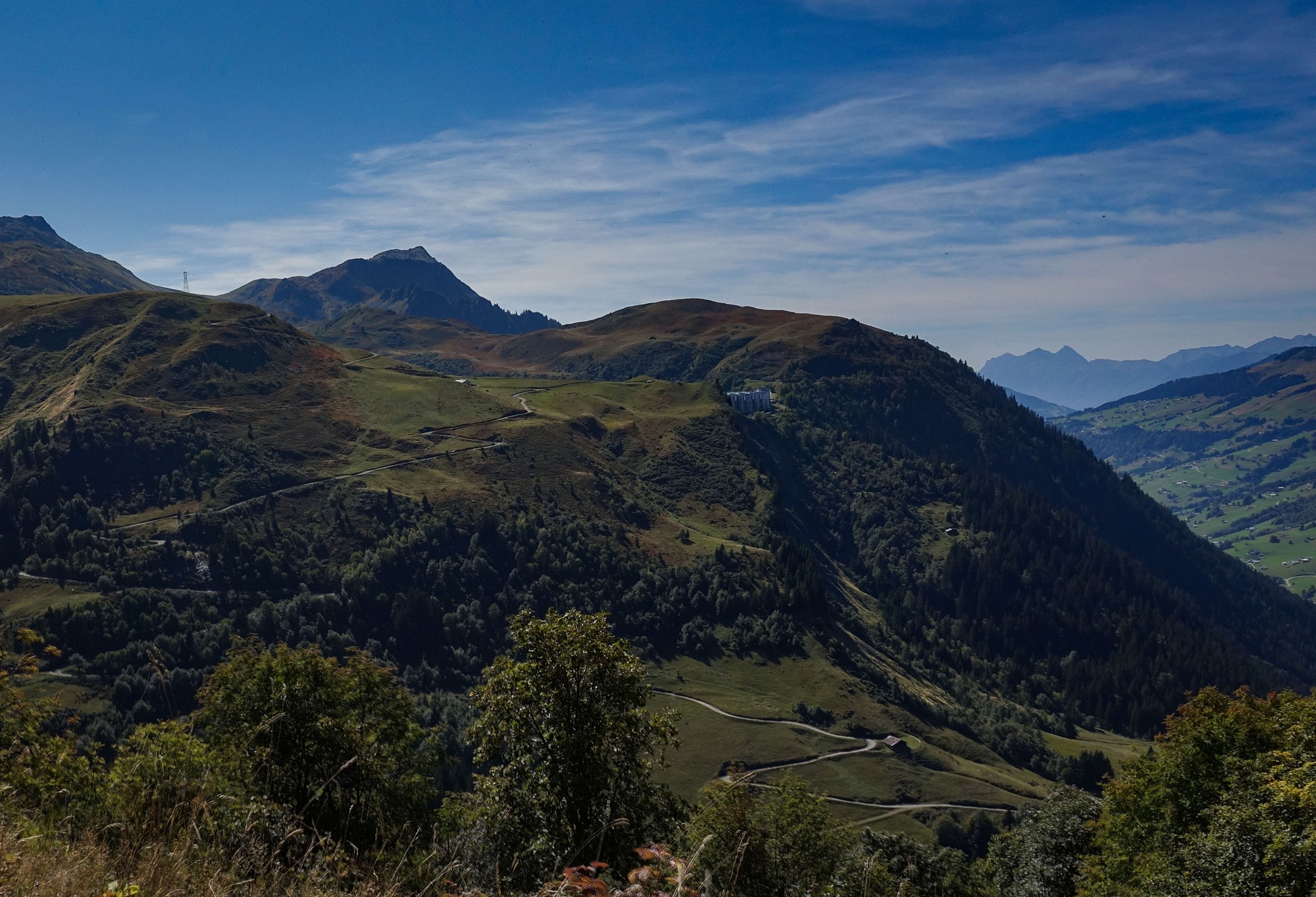
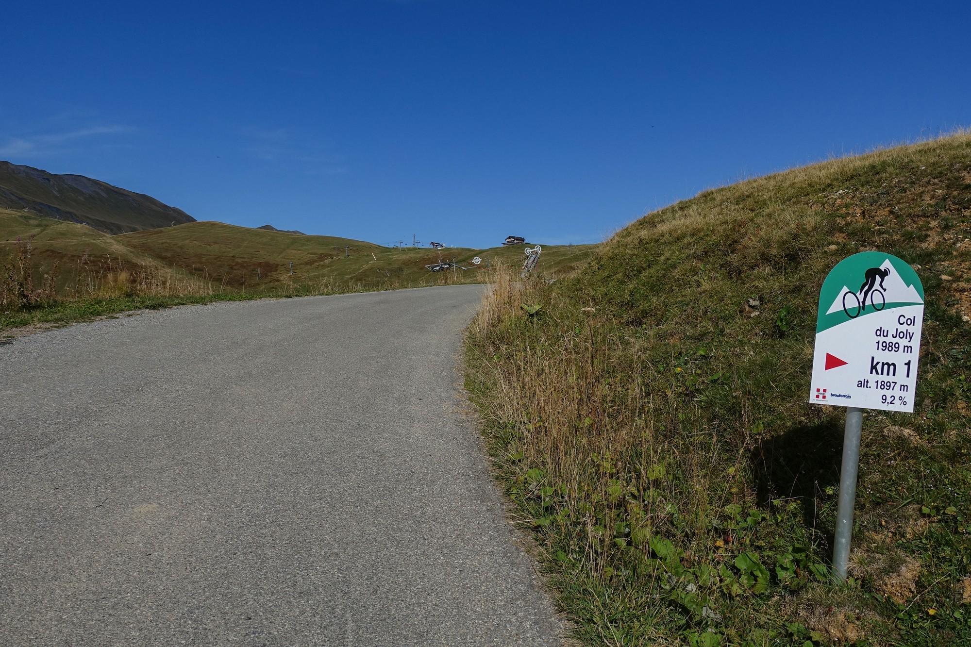
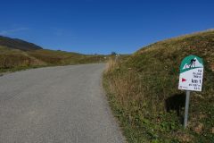
After a few miles at 8%, I saw the final km borne by the road, but it was too steep to stop for a photo, so I got one on the way down.
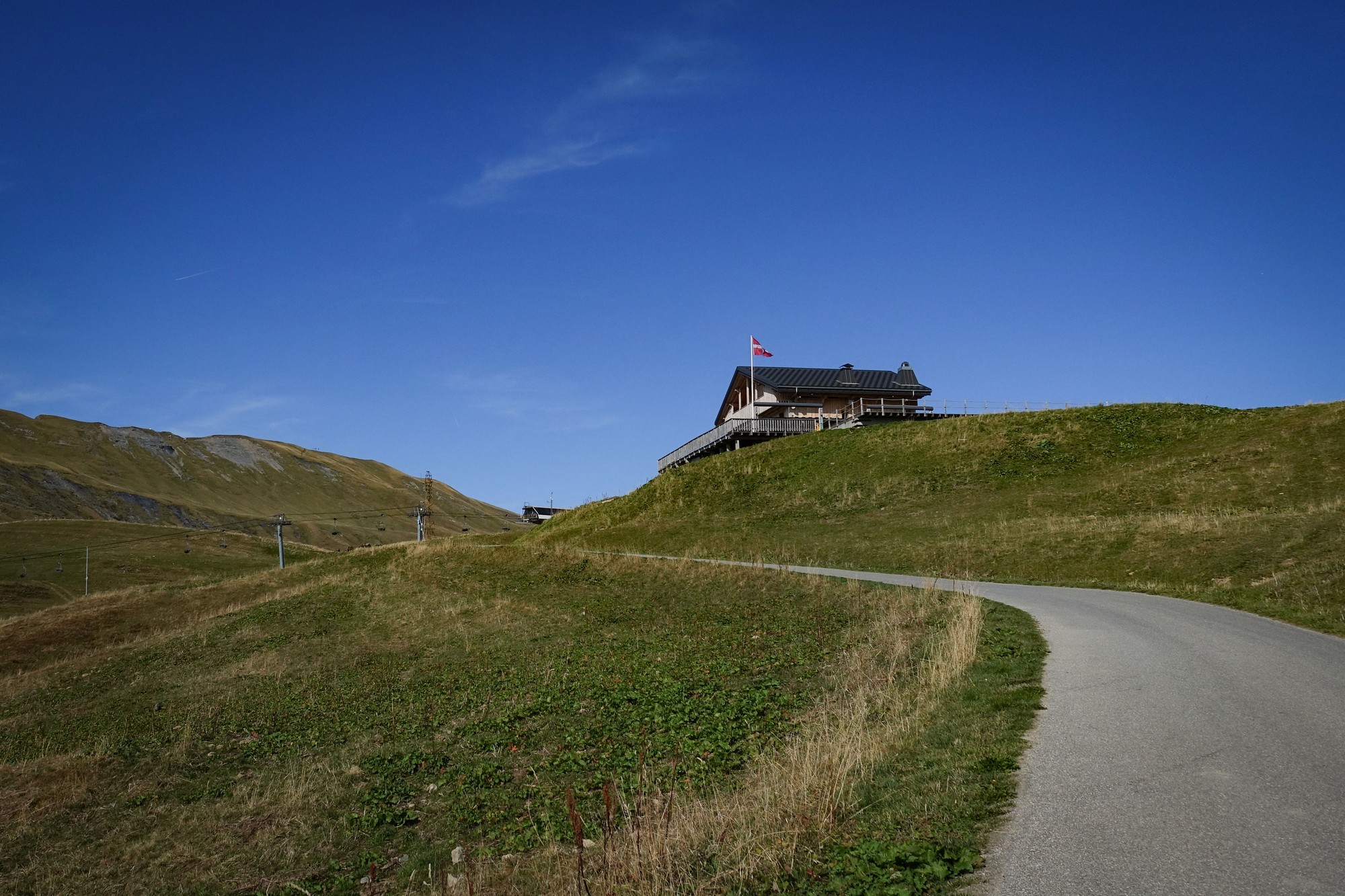
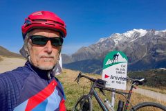
As I approached the col I saw the red cross flag blowing in the wind, indicating that I’d had a tail wind. I hadn’t noticed.
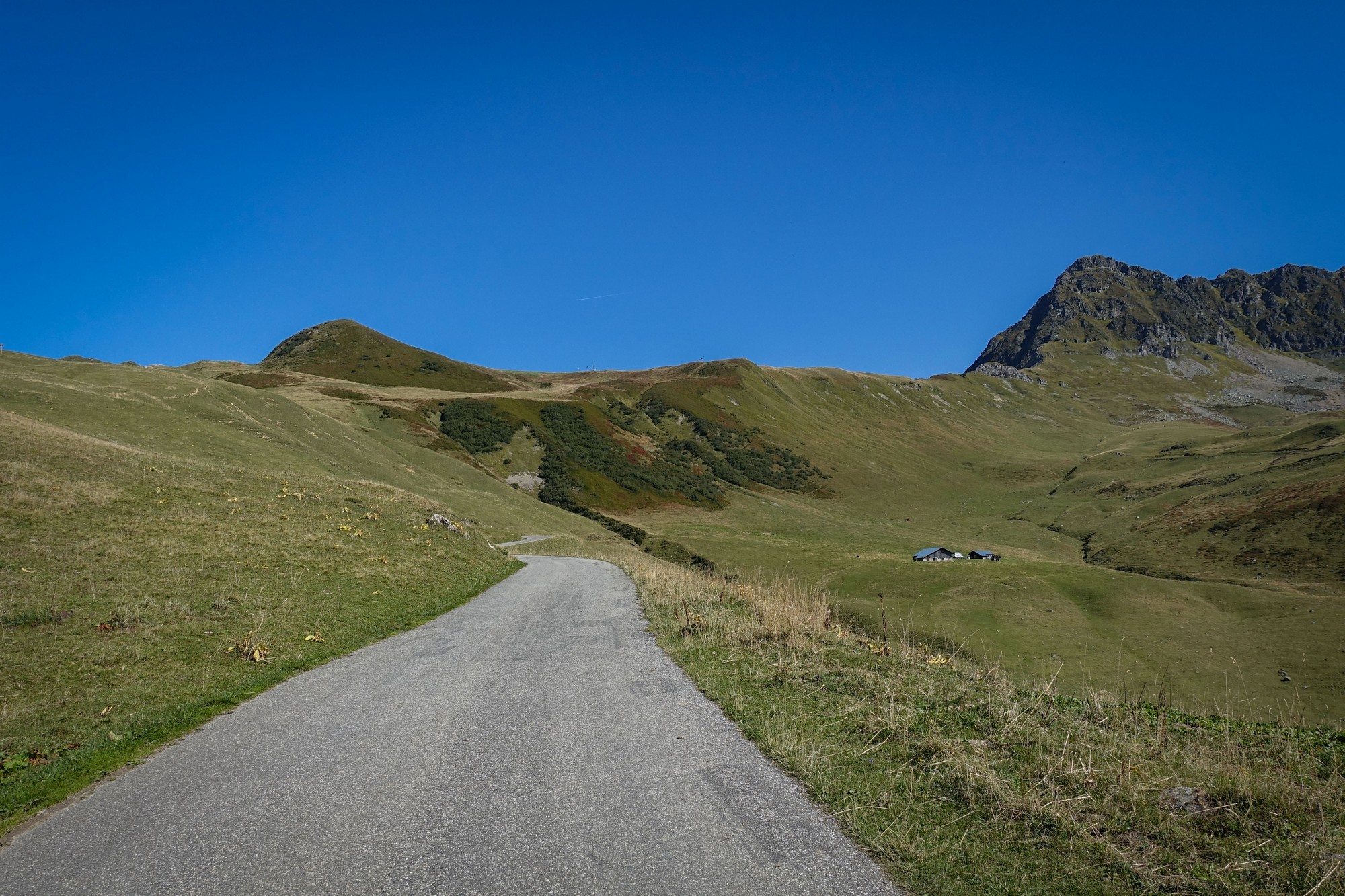
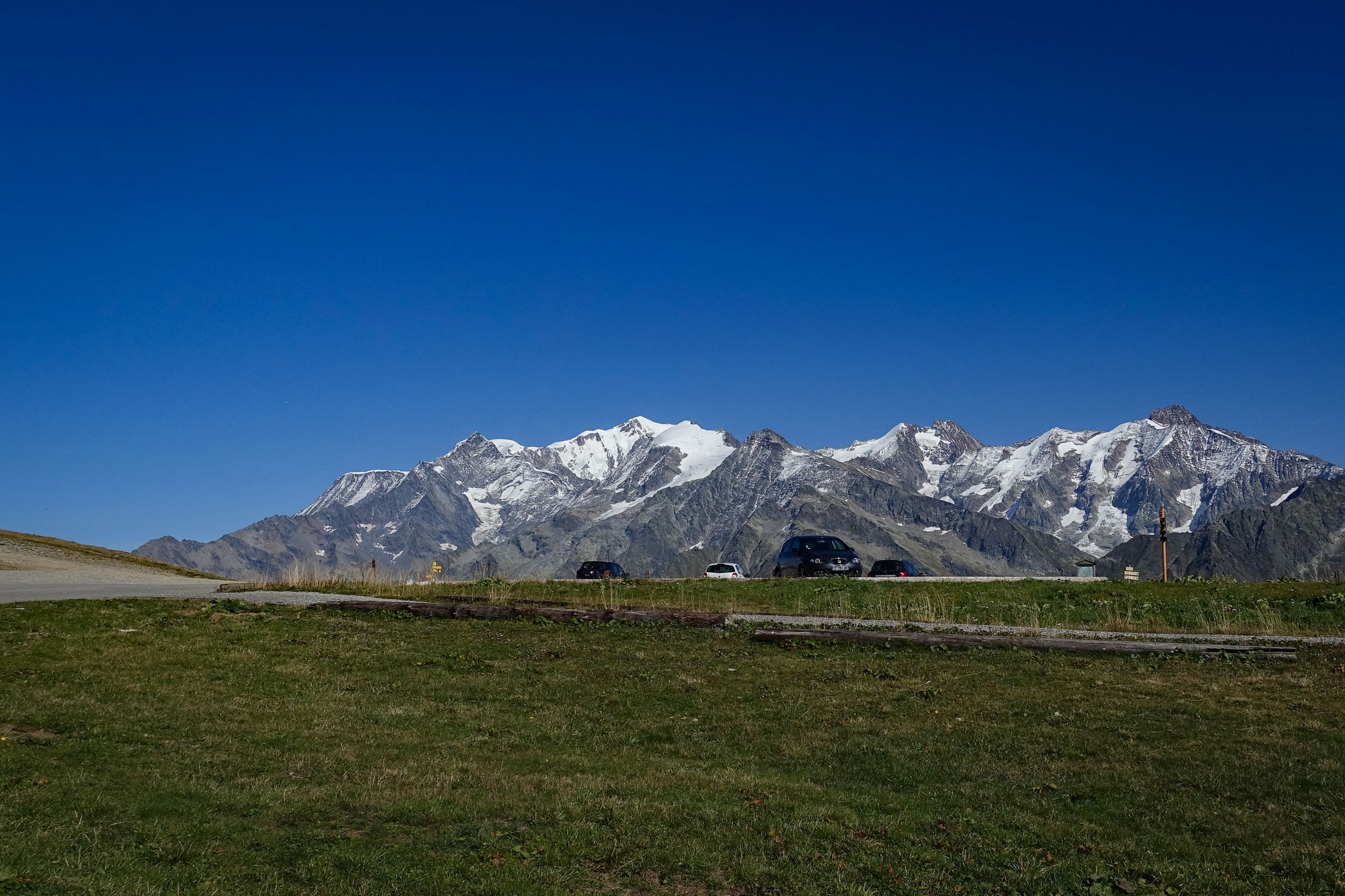
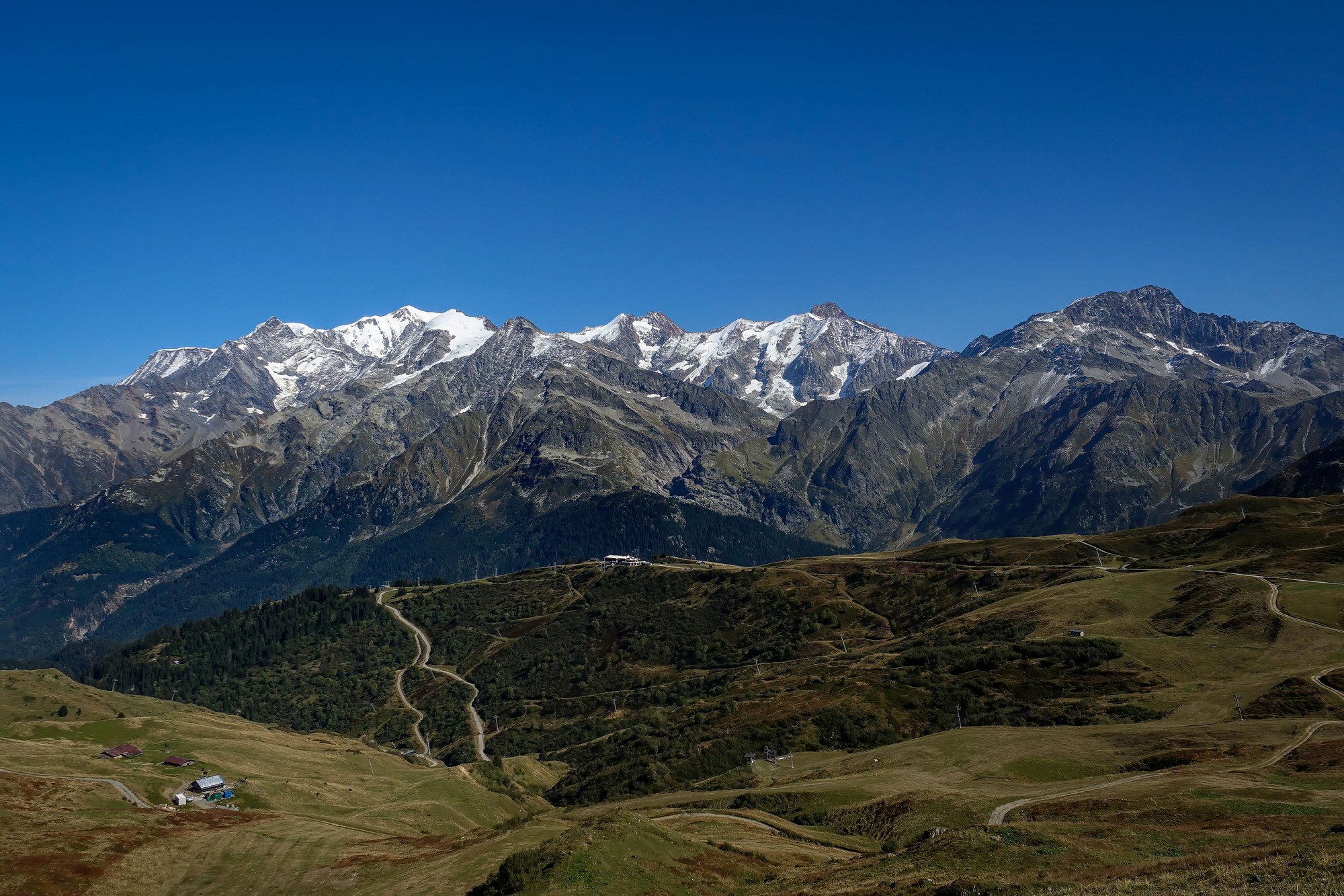
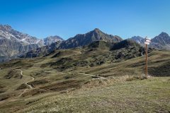
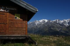
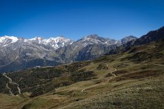
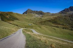
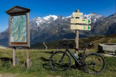
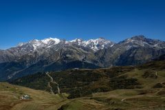
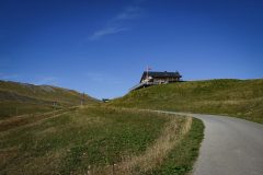
A wonderful view revealed itself as I neared the top.
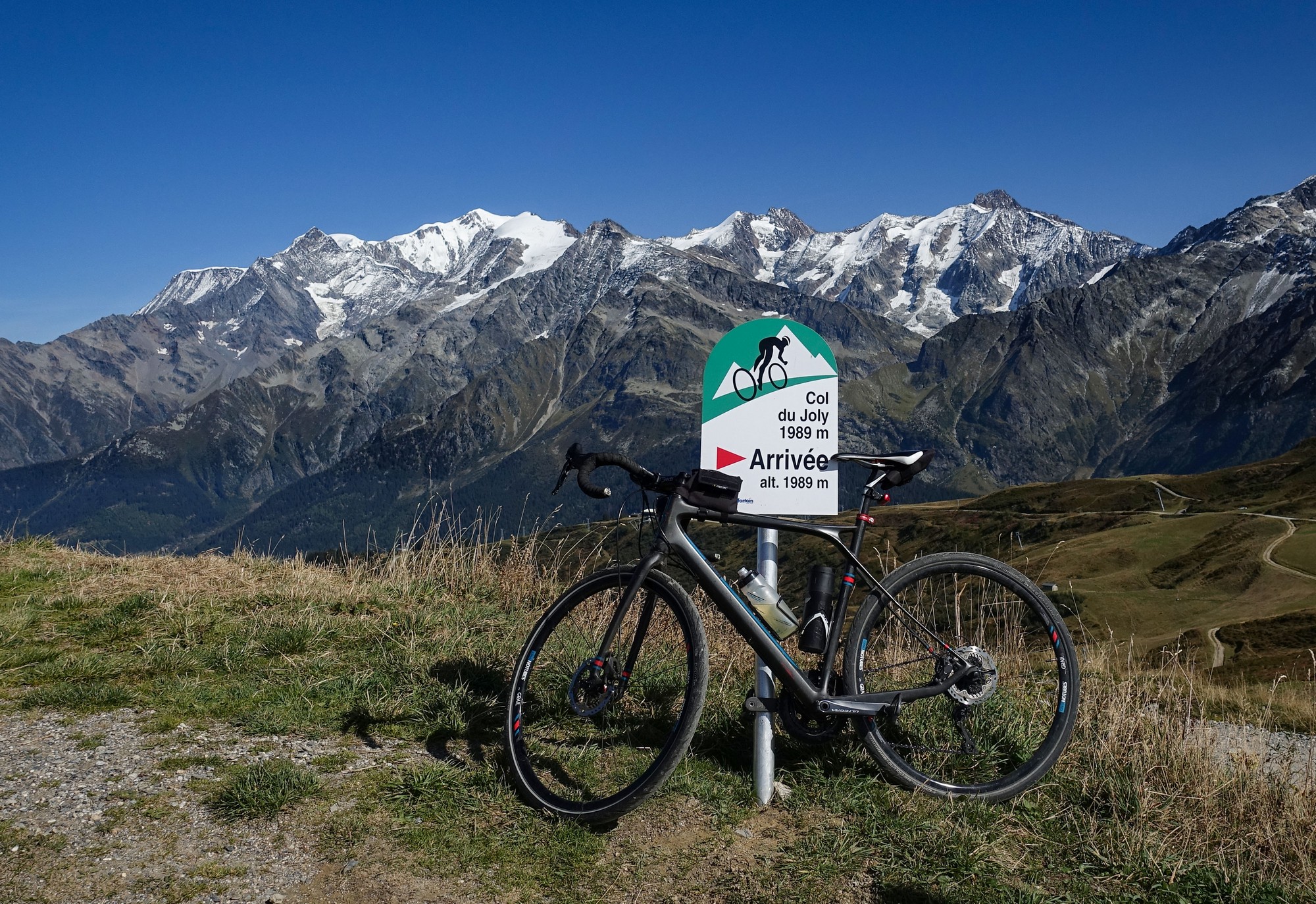
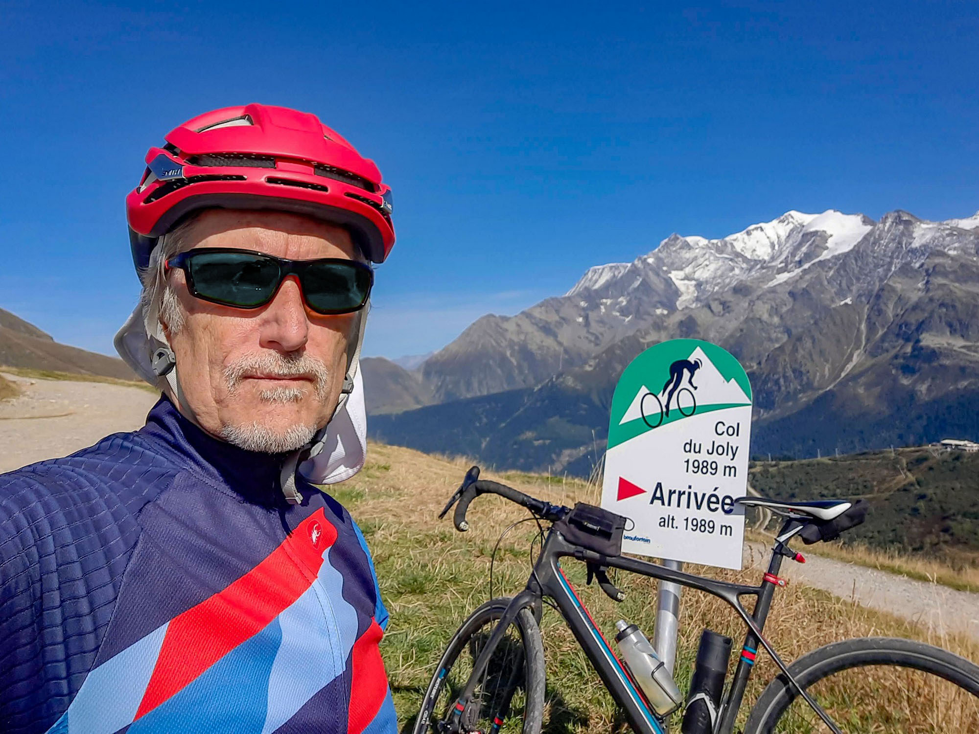
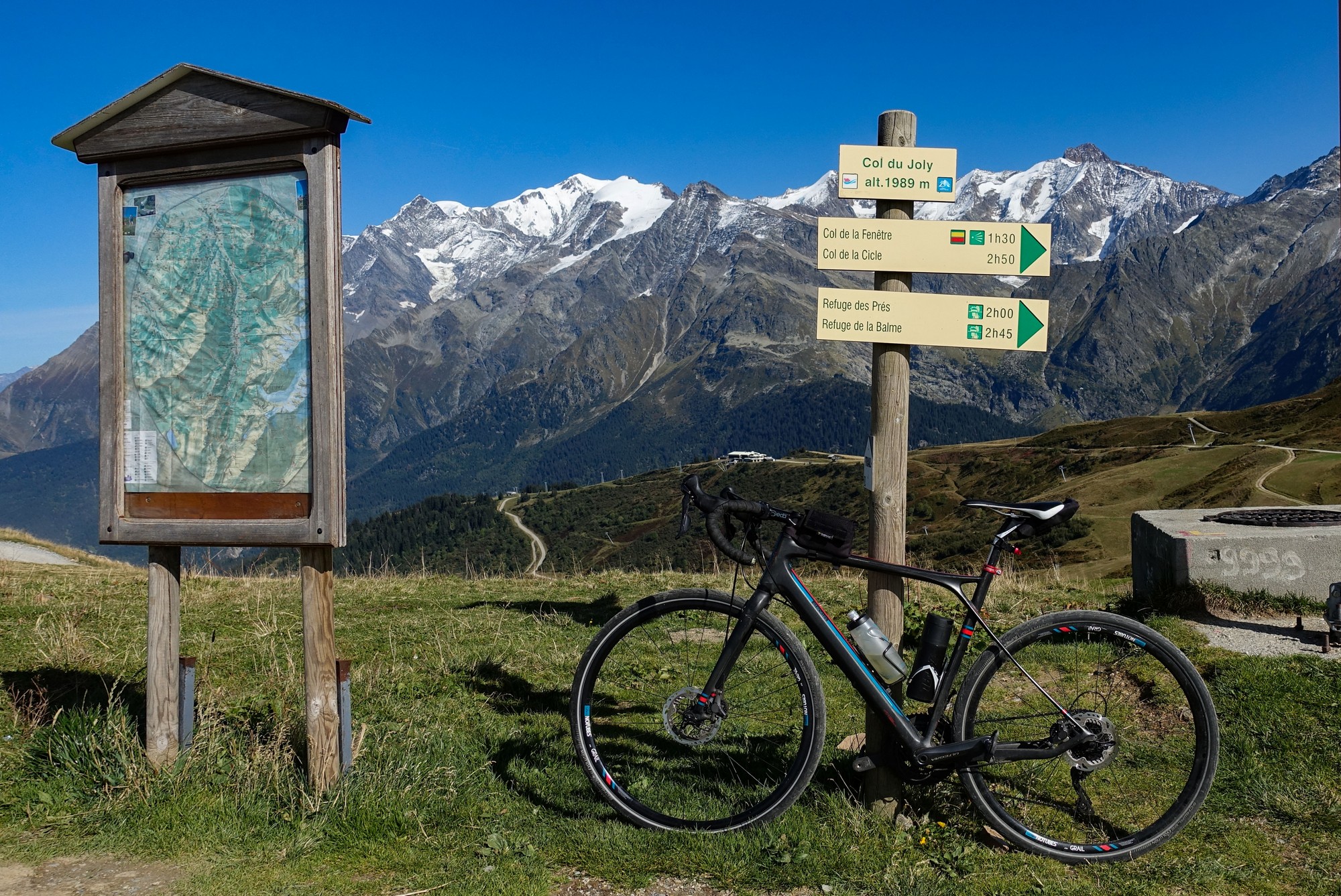
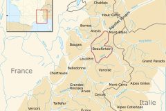
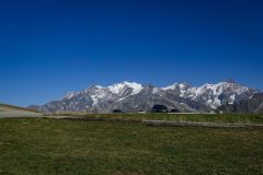
As I stood by the col sign, looking at the mountains, a ‘randonneur’ (not the cycling variety) approached me and started chatting, saying ‘well done’, etc. I asked him which of the peaks was Mont Blanc. He pointed it out. I asked about other mountains further north (to our left), but he shrugged – I’d evidently reached the extent of his knowledge. (Looking at the map later, I discovered it would have been the Massif du Giffre that I was asking about)
It’s always difficult to judge the scale of things in the mountains but the Mont Blanc summit was still nearly ten miles away. But more boggling than that was its altitude. I had climbed from Beaufort, which is already 740 metres above sea level, to the Col du Jolly, at 1,989 metres. But that’s not even anywhere near halfway up Mont Blanc, which peaks out at 4,806 metres, so I’d have to do the equivalent of more than two more ascents of the Col du Jolly to reach its peak!
The following 50-second video shows today’s route to the Col du Joly and how it is situated relative to the Mont Blanc massif. Check it out – preferably using the full-screen button (press ESC at the end to exit full screen):
I ate my HDM sandwich while looking at the view. Then I wandered around getting some more photos before heading back down.
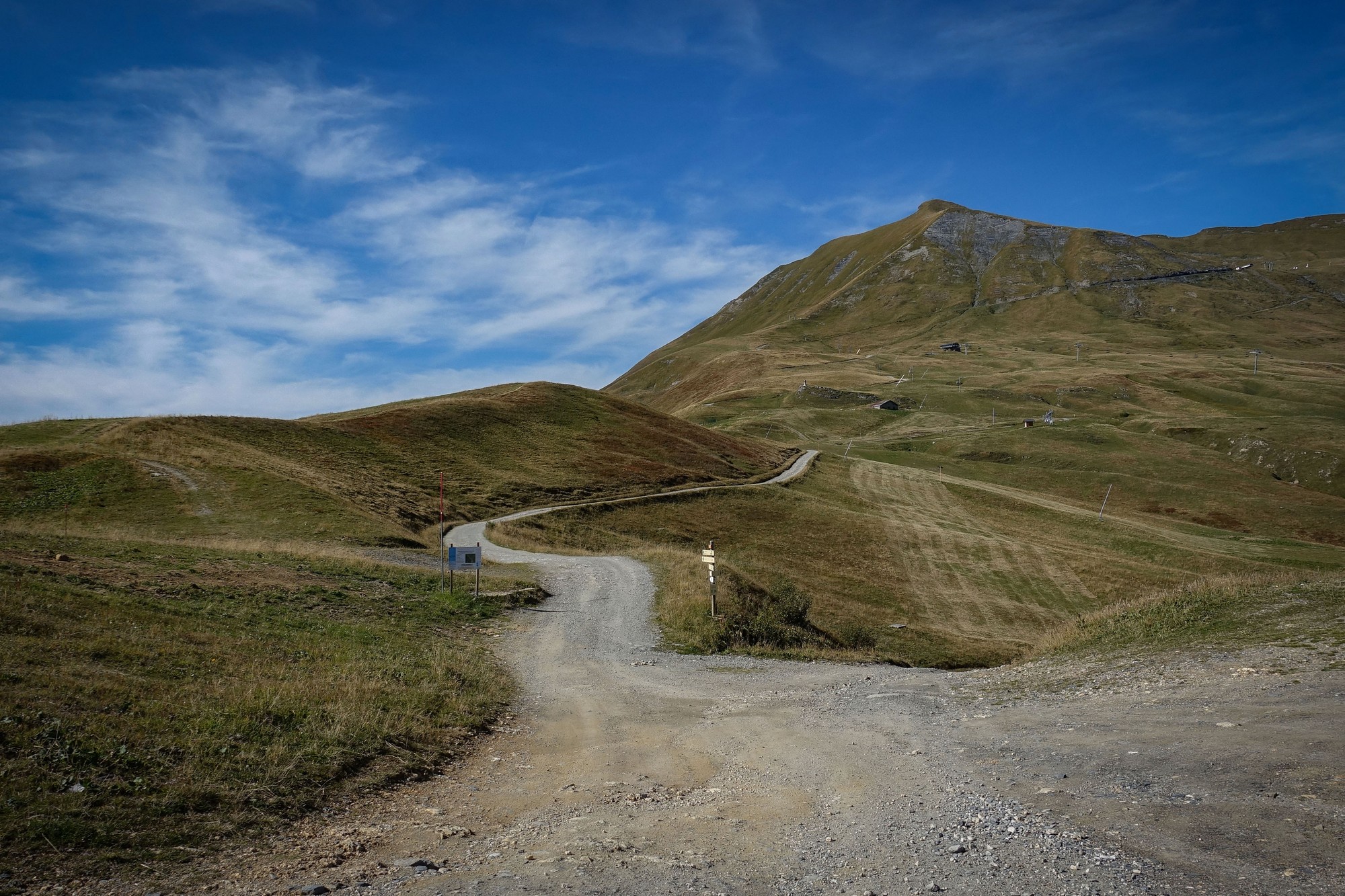
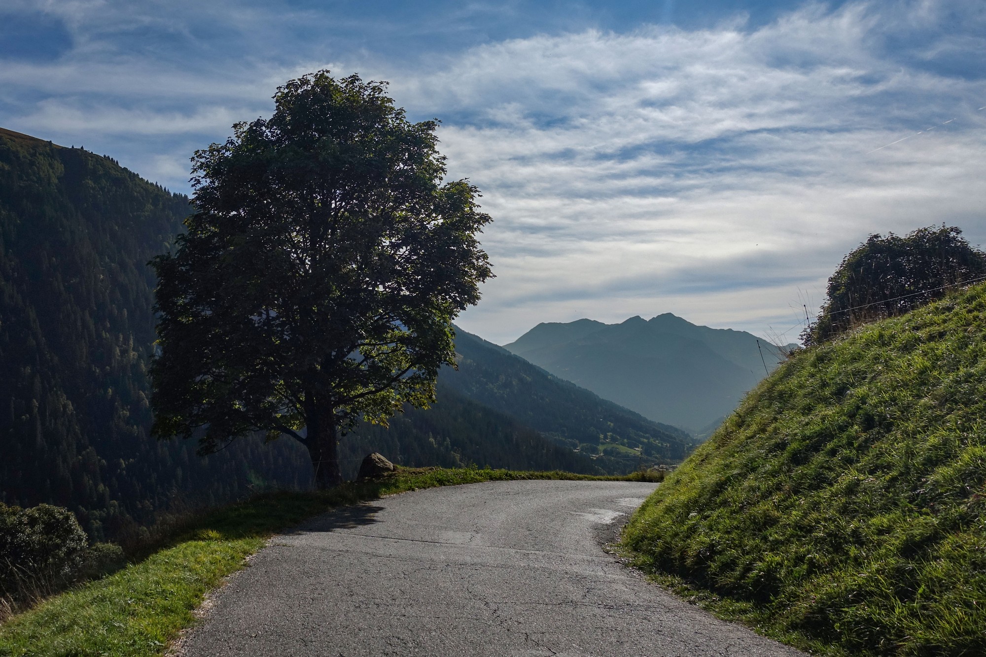
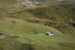
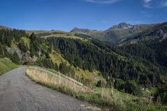
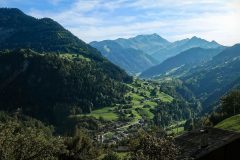
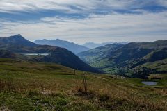
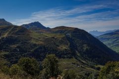
The descent starts with views along the Vallée du Dorinet, back towards Hauteluce and Beaufort.
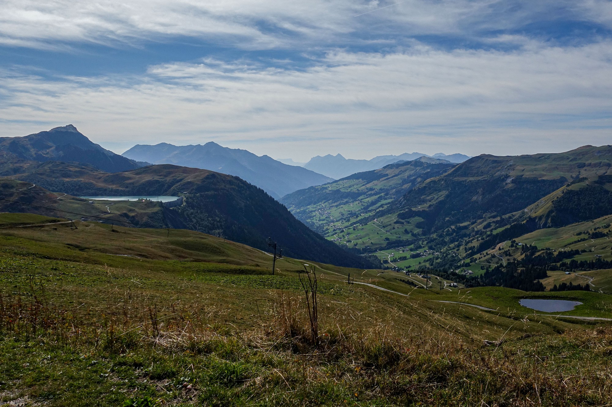
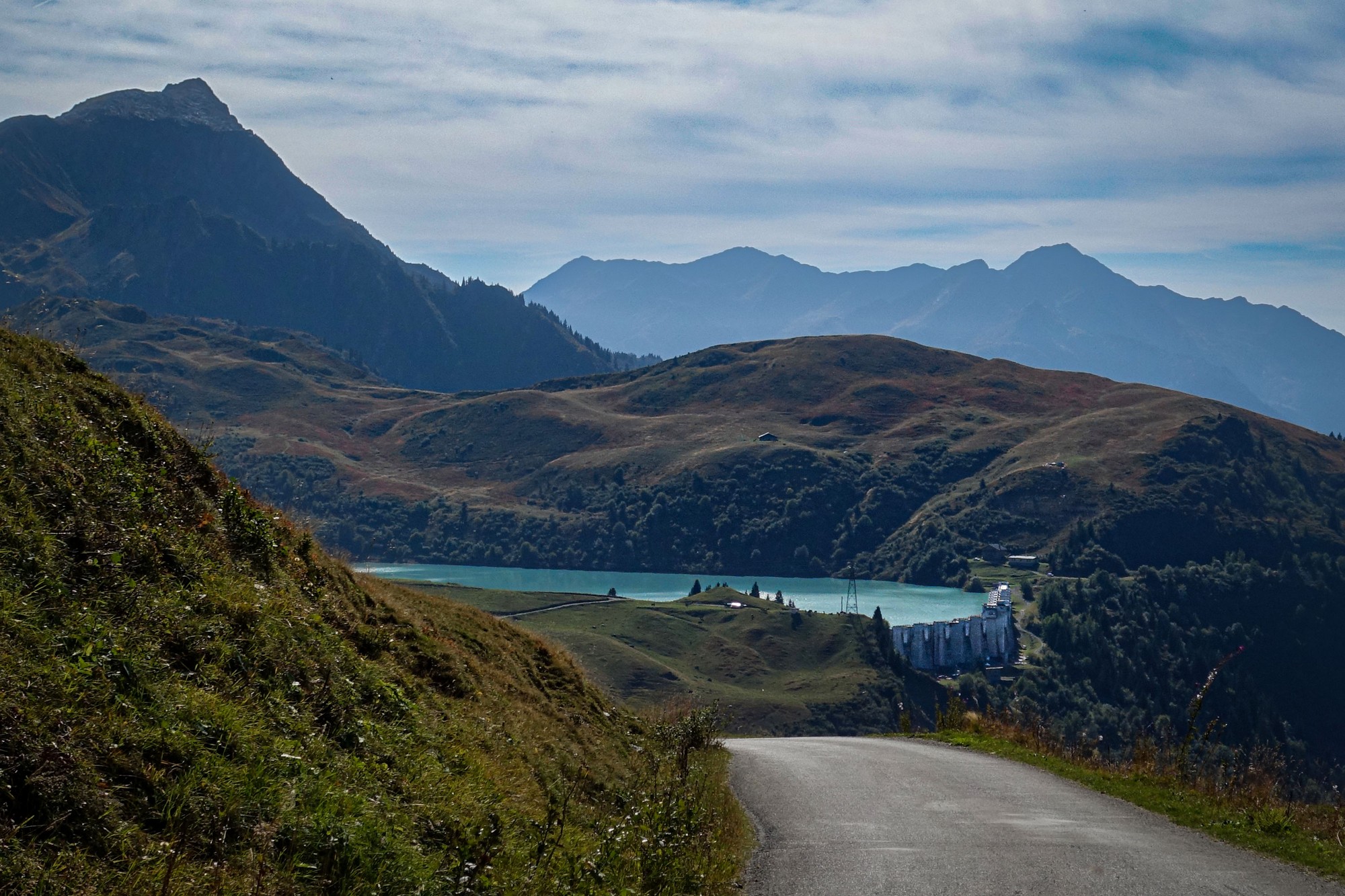
I saw a couple of guys with binoculars pointing up at some birds of prey overhead. They seemed very animated. I asked what they were looking at and one said something that sounded like “minnow royale” I wasn’t sure about the first word but the royale bit was definitely right. I didn’t want to interupt their viewing so I didn’t ask him to repeat it. The birds were flying above and also down the hillside to my right, so I was above them. I tried to get a photo of one, but they were quite distant and tricky to track with my camera.
[I later discovered they were Golden Eagles, (Aigle Royal in french), Aquila chrysaetos in latin. These magnificent birds have 6ft to 8ft wingspans!]
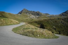
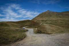
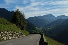
As can be seen in some of these photos, the road surface wasn’t brilliant. Obviously it was significantly better than the average UK road, but it made for a shaky descent in parts.
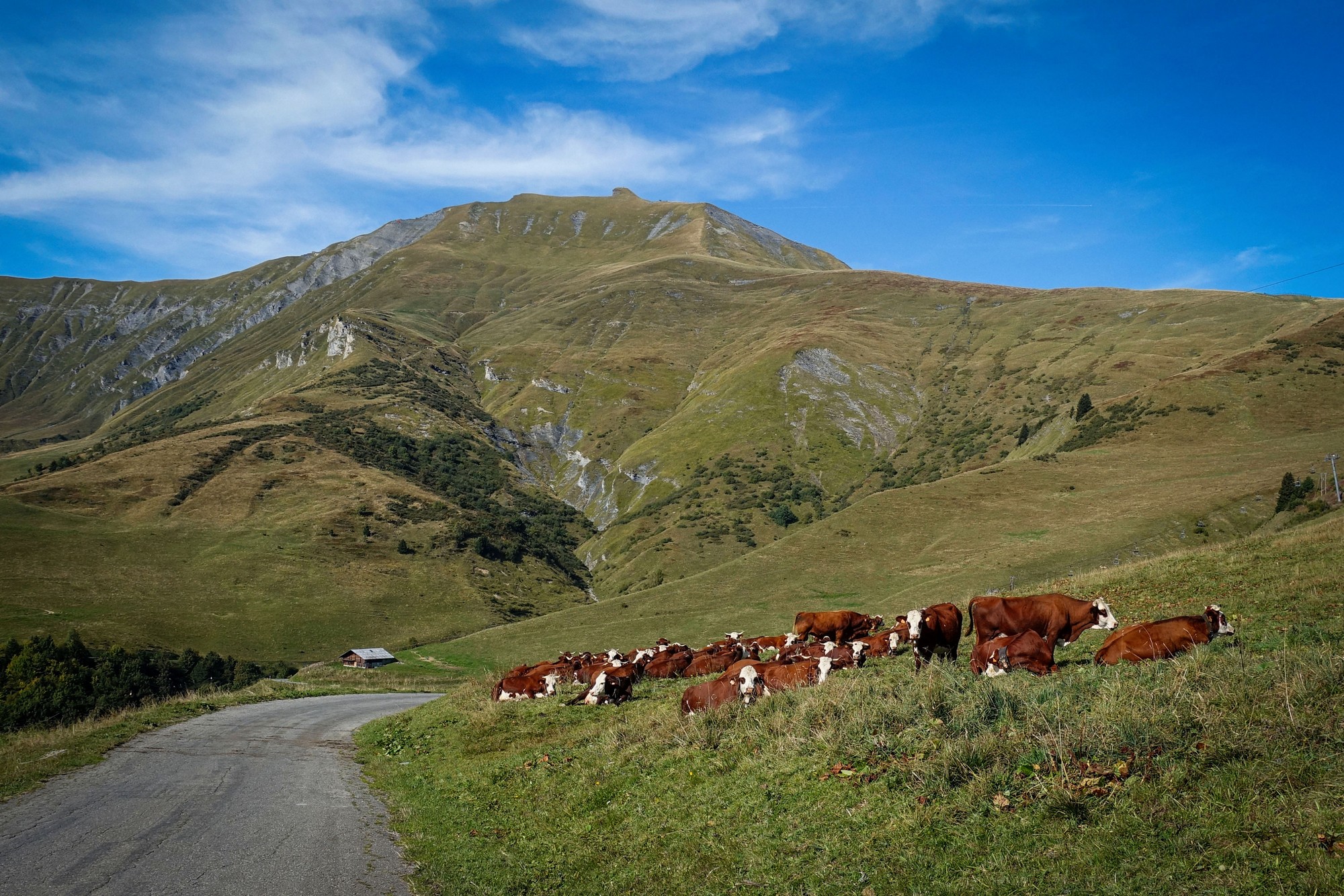
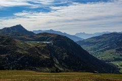
Four and a half miles into the descent I could still just glimpse the snowy tops of mountains peeking (peaking?) over the hiltops from eight miles away, on the Italian border.
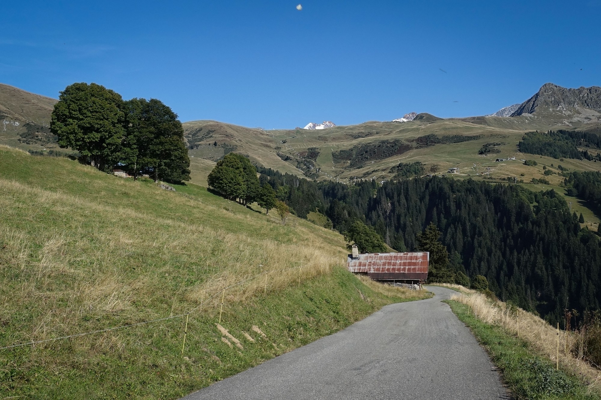
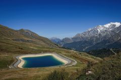
About midway, altitude-wise, between the Lac de la Girotte, above me, and the power station below, I got a good view of the whole hydro-electric setup with the twin penstocks dropping steeply for 542 metres down the hillside – that’s over half a kilometre of head! Lots of potential energy stored-up there.
The Lac de la Girotte is fed from the Glacier de Tré-la-Tête, the fourth largest in France. Also the water from this lake feeds not just the Belleville power station below, but seven other plants further down the valley (which probably accounts for those penstocks I cycled past earlier in the ride). I’m fascinated by the history of these facilities. There are guided tours of the Belleville power station on Tuesdays and Thursdays in July/August- only €5. Pity I don’t tend to come here in the summer months!
It took me just over an hour from the col du Joly back down to Belleville, but for more than half of that I was stationary, looking at and photographing the beautiful scenery.
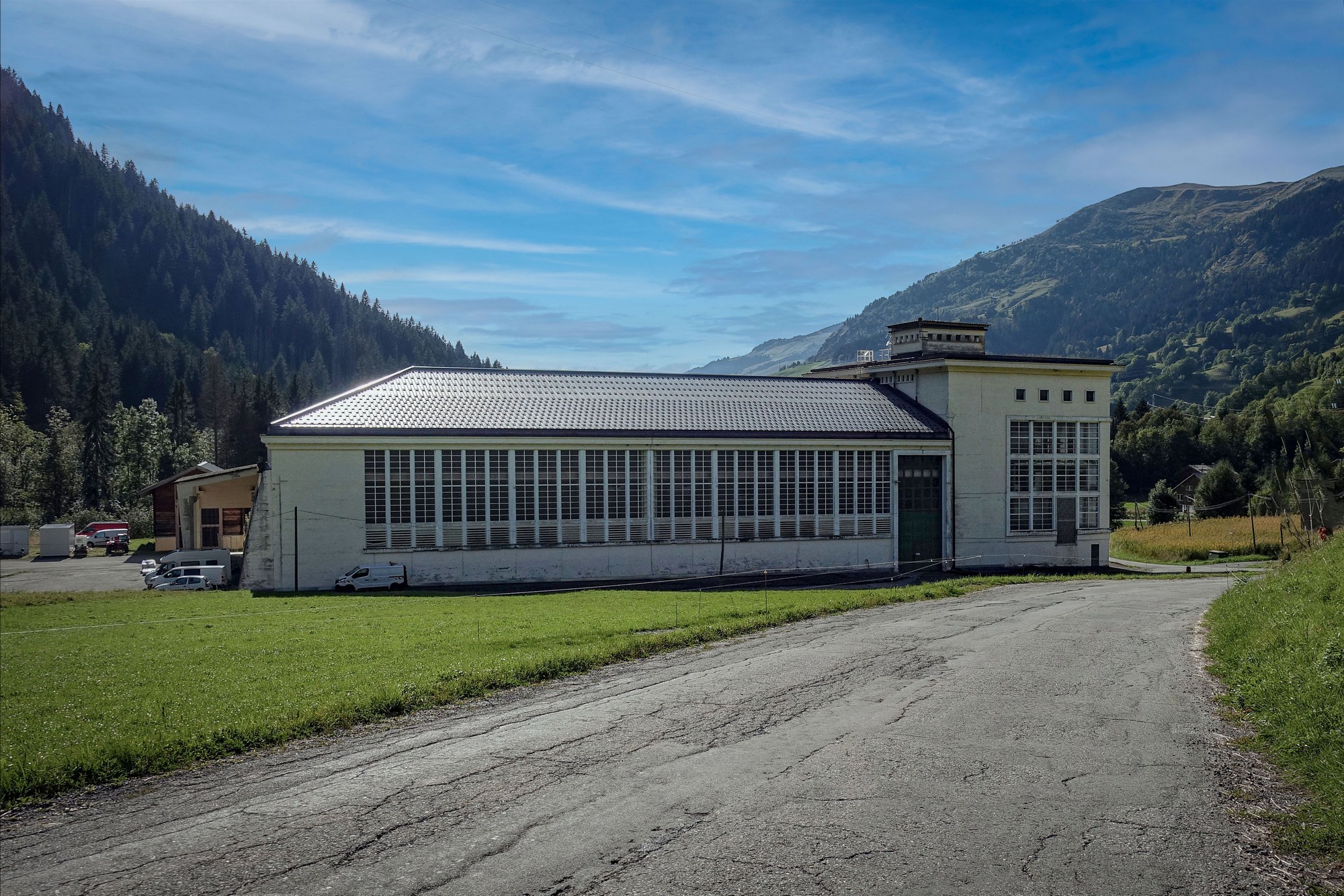
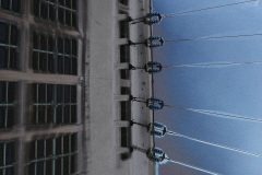
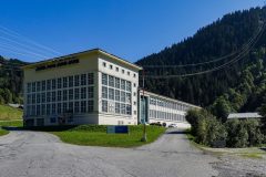
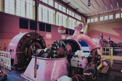
I like the look of the power station building. I wonder why it has so much glass though – I’m sure there must be a good reason. This building dates from 1953, replacing the previous structure that was destroyed by a landslide.
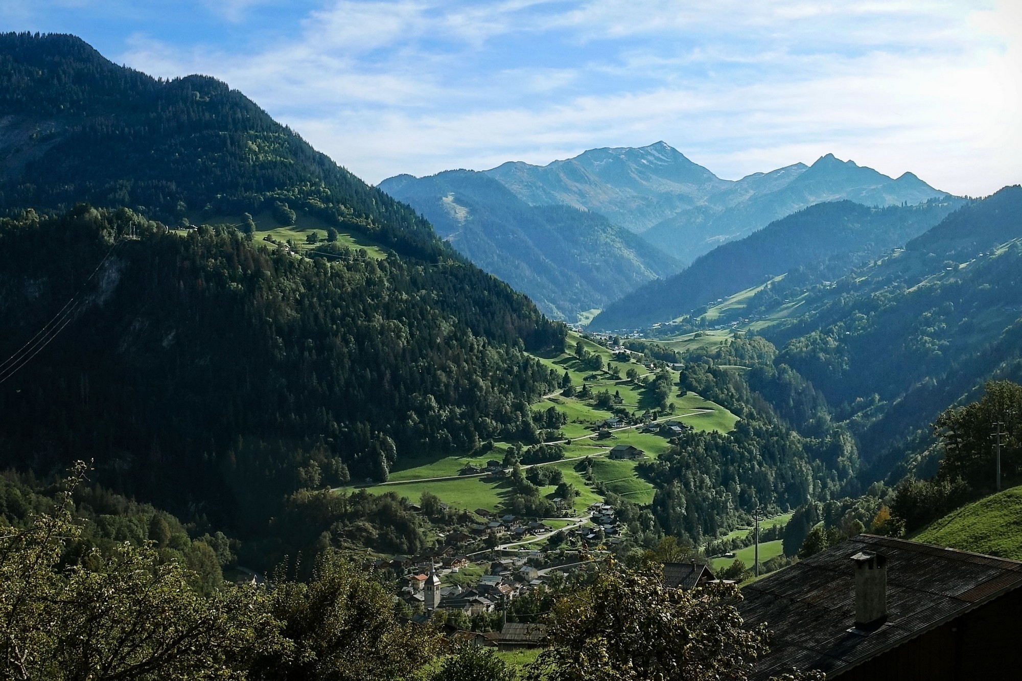
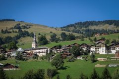
Twenty minutes later I was overlooking Beaufort
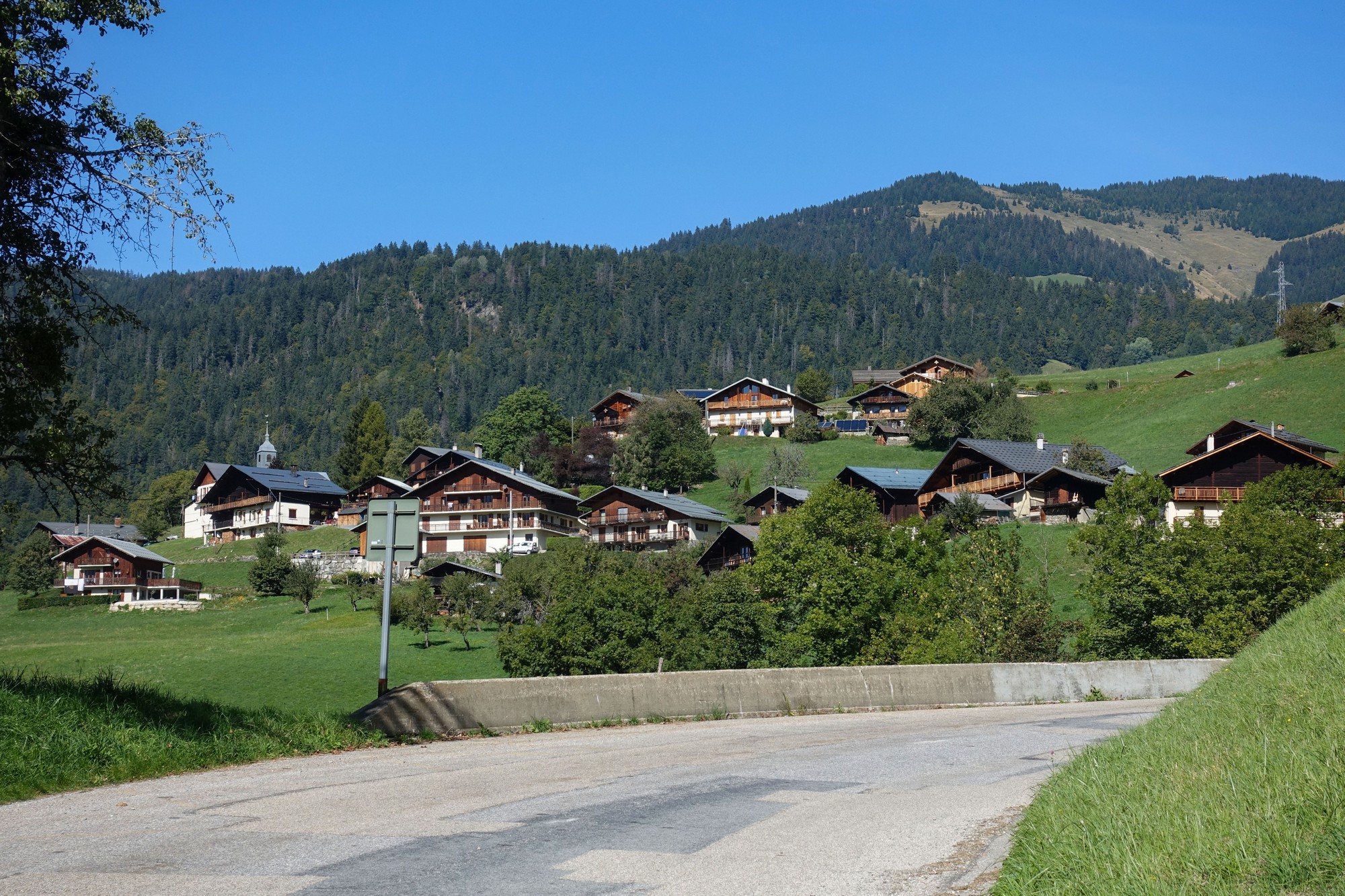
Ten minutes later I was back at my van.
My planned route back should have taken me through Hauteluce on the other side of the valley, but for some reason that I’m unable to recall, I decided to head straight back the way I came. As usual the temperature had picked up during the descent but there were some weirdly cold patches here and there.
It had been another wonderful ride in the Alps, along a beautful valley leading to that magnificent view of the Mont Blanc massif, with golden eagles and a hydroelectric power plant thrown in for extra value! This was my first ride in the Beaufortain mountains, but it definitely won’t be my last. In fact I have some unfinished business here:
- The gravel track up to Lac de la Girotte (apparently very steep)
- The route via Hauteluce
- A possible loop over the col du Joly onto gravel tracks back down to civilisation and back to Beaufort somehow
- Guided tour of the Centrale de Belleville power station (if I’m ever here in the summer…)
Further reading
- La centrale de Belleville (Video showing excellent views of the lake, the dam, and inside the power station – the narration is in French but you can get YouTube to generate translated subtitles)
- Beaufortain Massif
- Barrages, lacs et hydroélectricité (pdf – loads of info, photos and diagrams)
- Penstock
- Golden eagle
- Barrage de la Girotte (loads of info, photos and diagrams – in French – right click to translate)
- Beaufortain
- Tré-la-Tête Glacier (Geology and geography of the glacier that supplies Lac de Girotte – right-click to translate to English)
Gallery
Click to enlarge / see slideshow















Thanks again for taking the time to share your adventures with us Vince. It’s great to be reliving those long summer days in the saddle as the shortest days of the year are setting in. I’d love to ride this route if I get to Beaufort again. My last time there had me visit the Cormet de Roseland via the Col du Pre, a great, scenic and quiet ride. Well worth riding if you get the chance.
Cheers
Martin
Cheers
Thanks for your comment Martin. Yes it is good reliving the sunny days. The day after Col du Joly I visited Lac de Roselend and 2 other lakes and came back via the easy way over the col du Pré. That blog will be coming next. Cheers