Distance: 33.4 miles. Elevation: 3420 ft.
Col du Négron | Col de l'Homme Mort | Col de Macuègne | Col de la Pigière
I’ve got blog posts queueing up so thought I’d get this quick one done even though it’s out of sync. The Col du Négron.
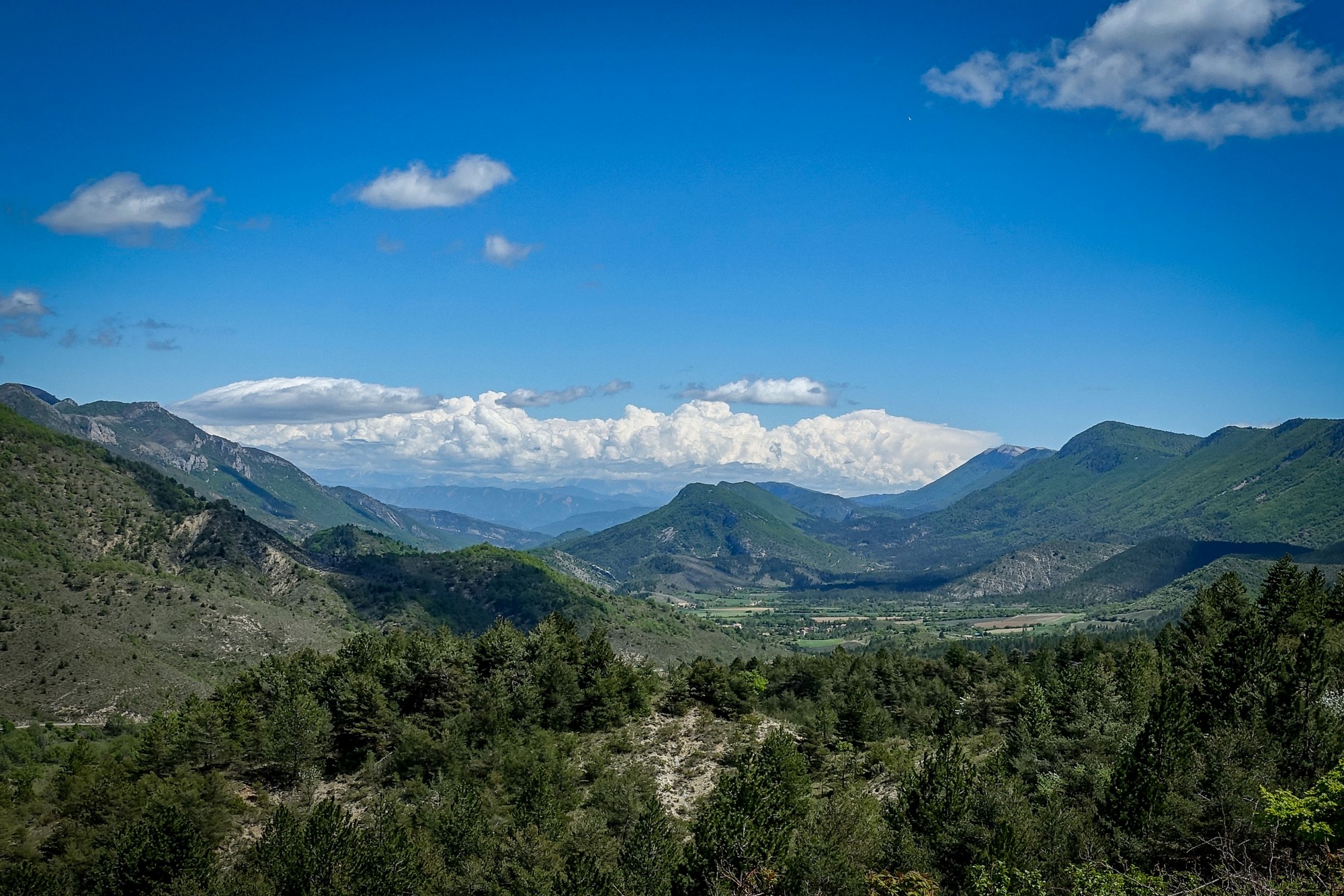
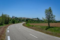
I’ve moved south from the Chartreuse to an area between Sisteron and Mont Ventoux. It’s in the Drôme Provençale. Driving down here I’d been stunned by the landscape.
Today’s ride was a relatively short one with not too much climbing. The weather was supposed to be 90% cloud cover and rainy spells. As you can see from the photos, they got that bit wildly wrong. What they did get right though is the temperature, which was in the mid teens, and the wind, which was strong from the NW. I wore a short-sleeved jersey, with arm warmers and rain jacket available.
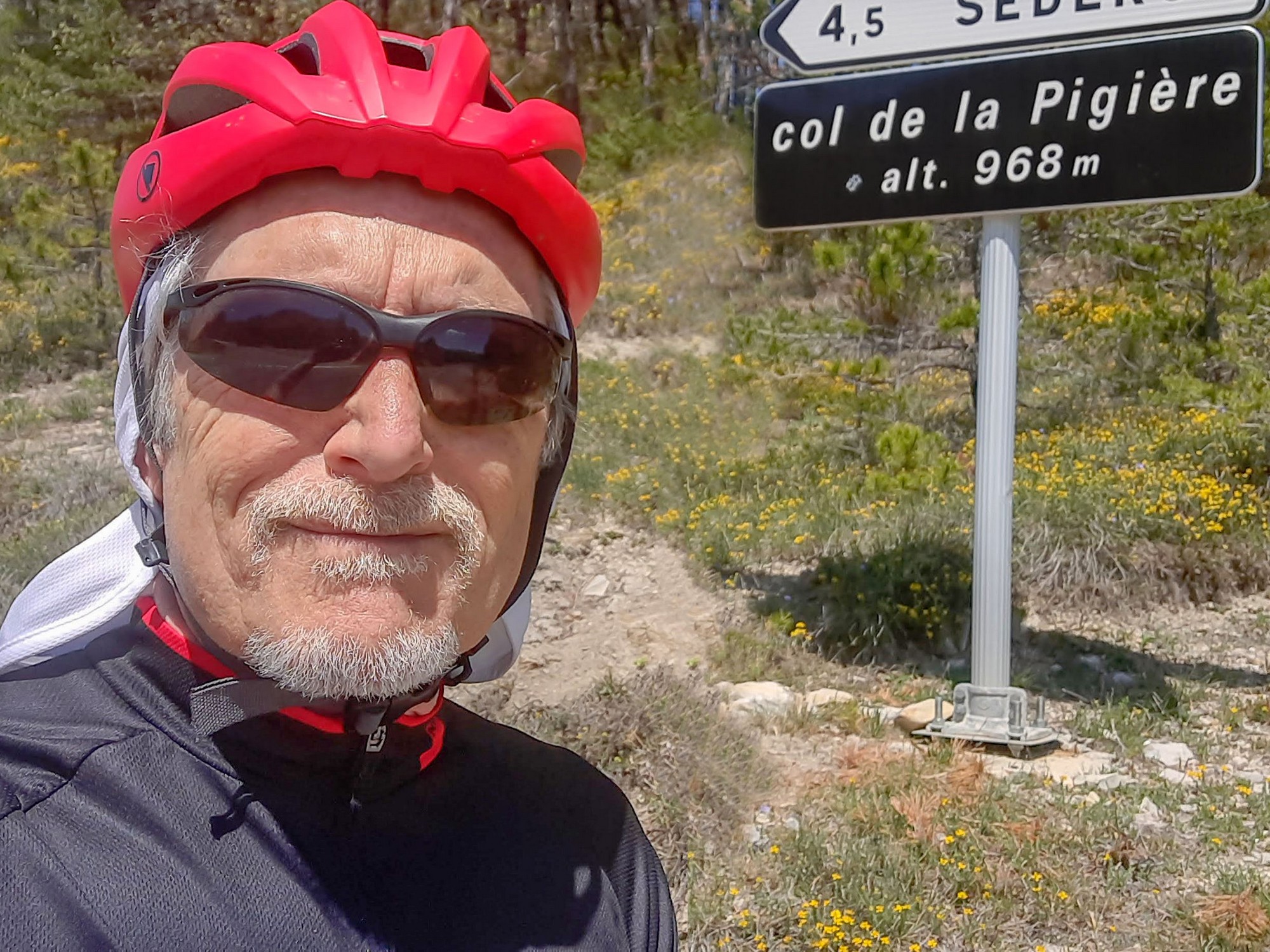
The first part of the ride was four miles uphill, and into the wind to Col de la Pigière, where the loop part of my ride started. At the col the wind was very strong, so I was looking forward to that being behind me at the end of the ride.
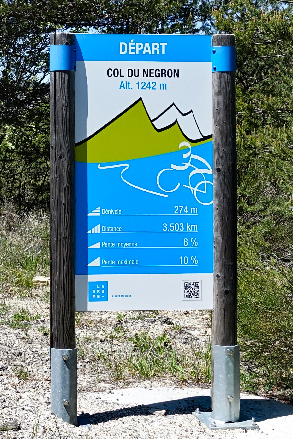
My route turned southwards to start the climb over the hills via le Col du Négron.
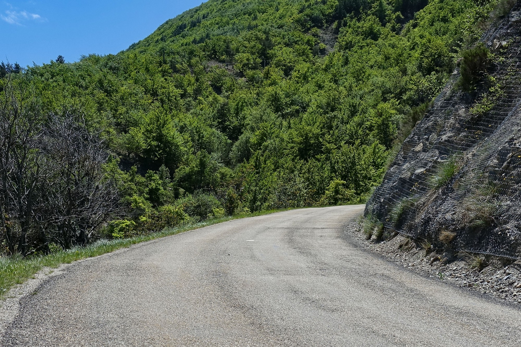
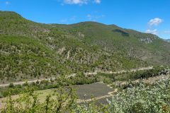
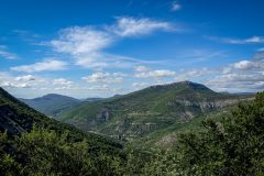
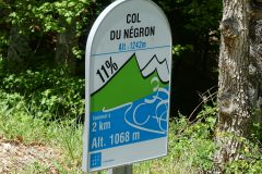
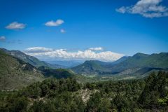
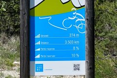
The ascent was just over a couple of miles so not too bad. Now I’d turned south the wind wasn’t a problem. In fact it helped quite a lot, especially near the top when I could feel its coldness on my back. There were wonderful views both towards the west and the east as the road snaked its way upwards. I wondered if I’d see Mont Ventoux, but I didn’t.
When I first started the climb I could hear some very noisy machinery somewhere up in the hills. About halfway up I came across a gang of workers, all wearing hard hats, hi-viz and climbing gear. They were installing steel netting, to protect the road from rockfalls. So the noise had been their powerful drills boring 50mm holes deep into the rock, into which they’d install the steel anchors for the netting.
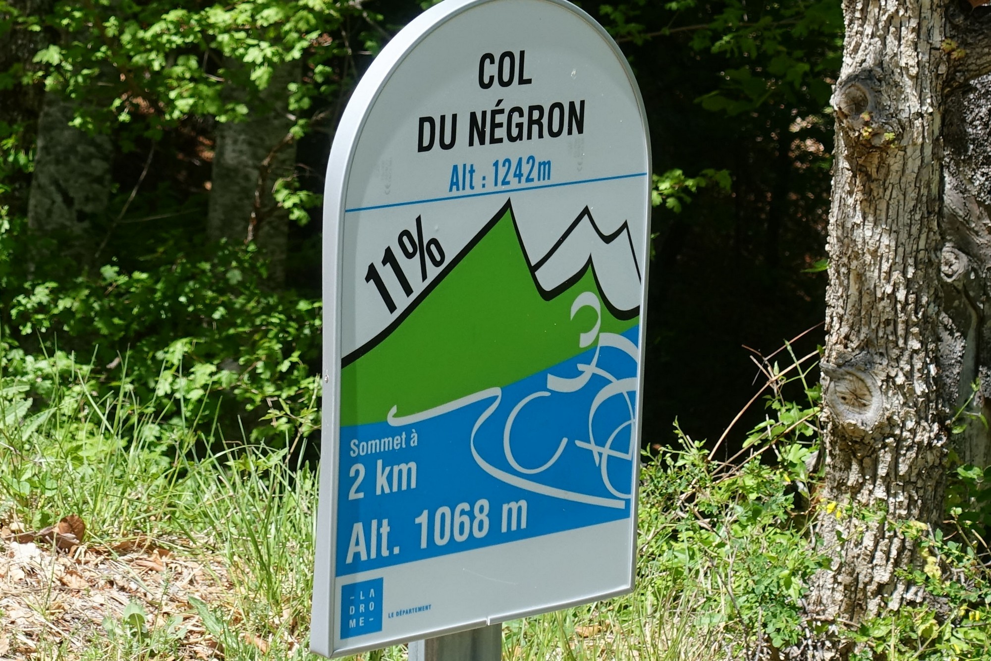
It didn’t feel as steep as some of the roadside ‘bornes’ suggested.
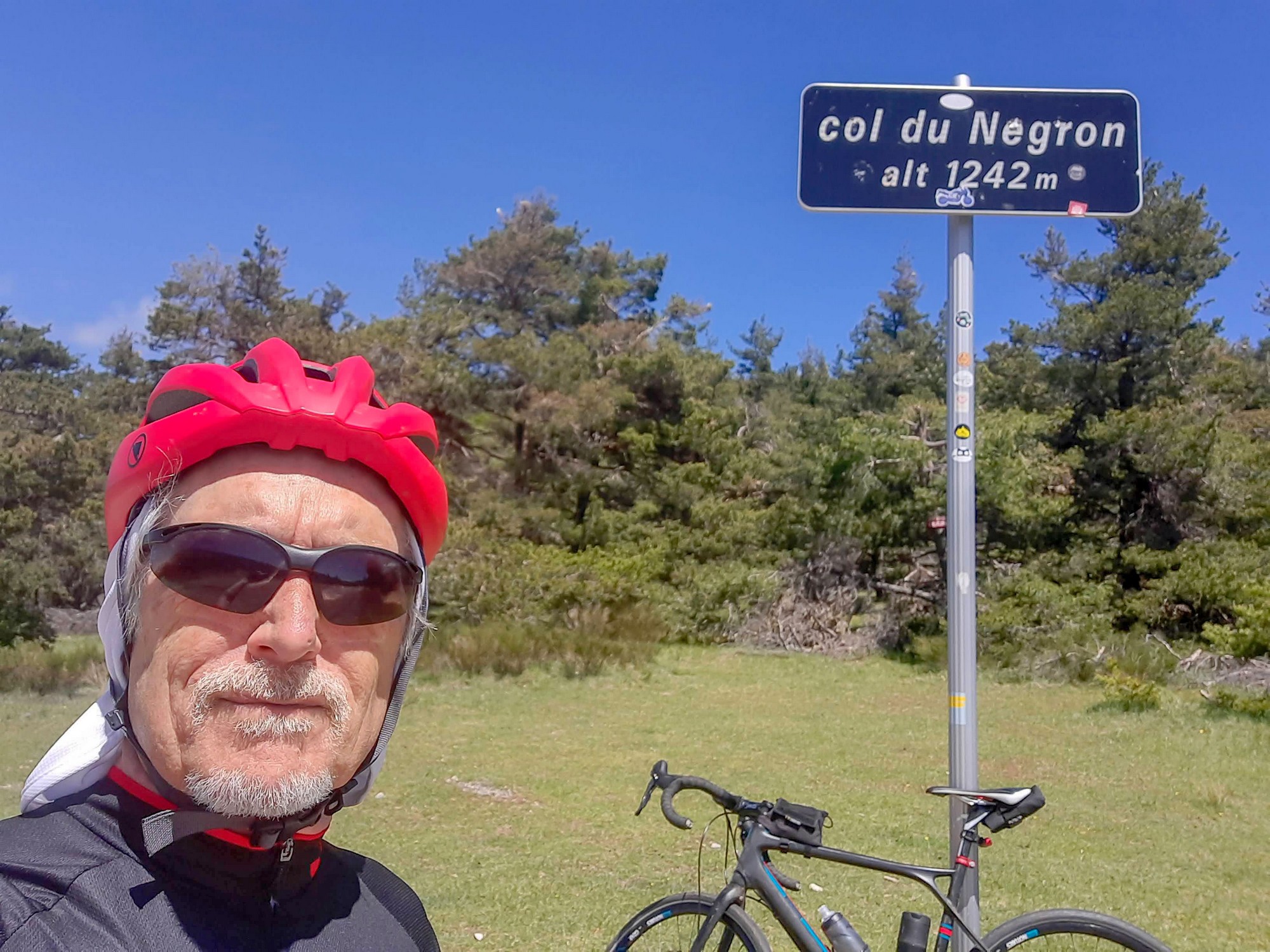
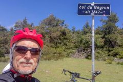
I reached the col with that wind behind me. There was nothing much other than the col sign.
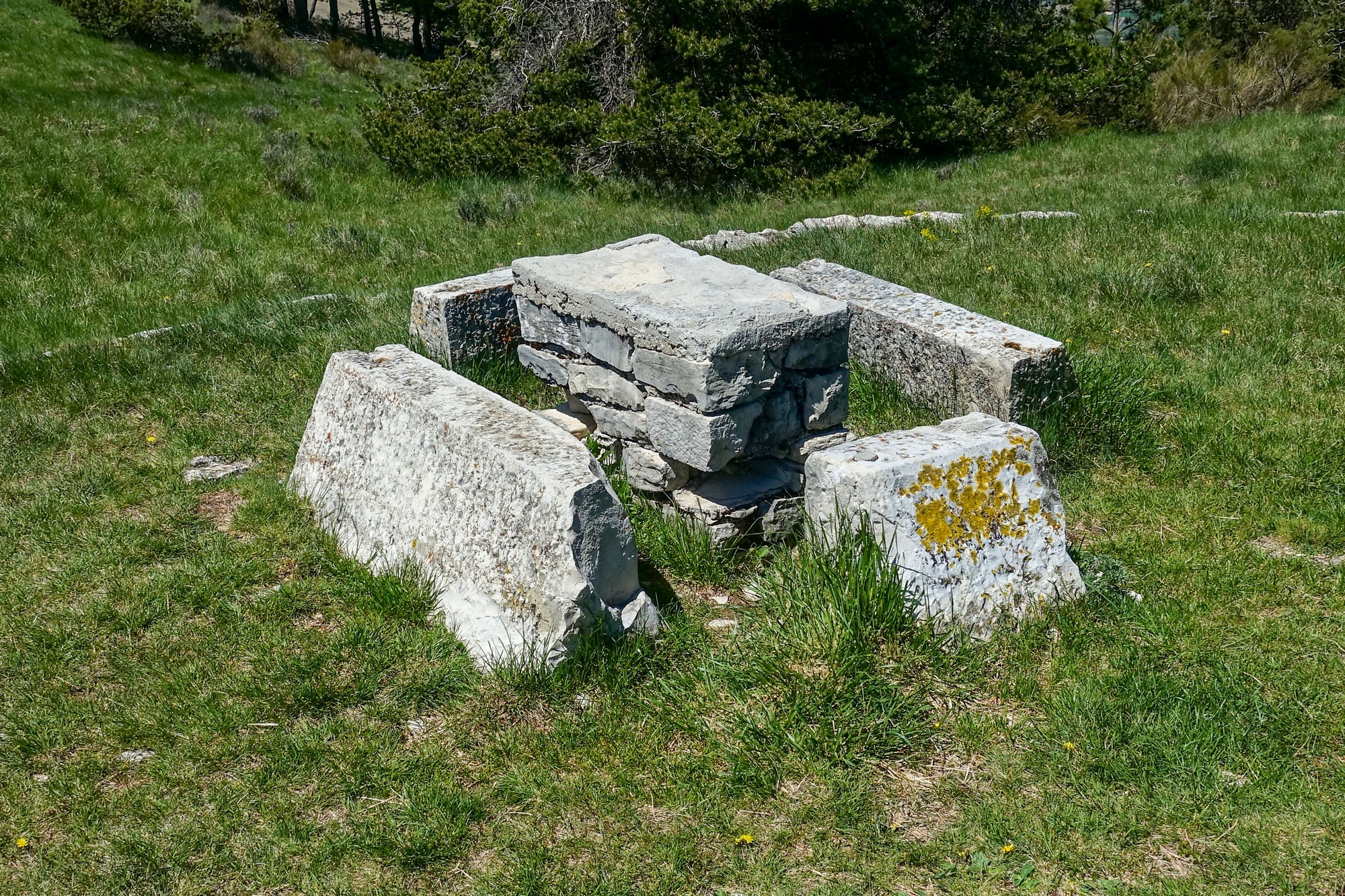
There’s so much history in France. At the col was this stone-age picnic table:
I put my rain jacket on for the descent. The air was quite chilly. The sun helped mask that.
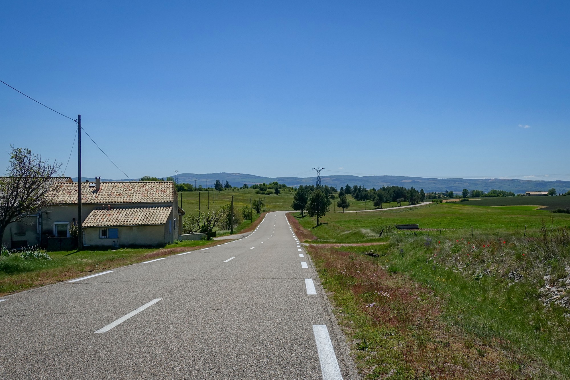
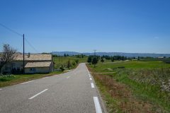
The descent towards Revest-du-Bion was on a road with an easier gradient than the one I’d climbed, sweeping between the fields.
It would have been a sensational descent had it not been for the slightly irregular road surface. It wasn’t too bad with my 35mm tyres but I’d imagine fully inflated 25mm tyres would not be comfortable.
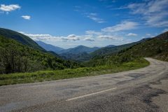
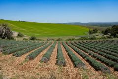
About halfway down, the road joined another road with beautifully smooth tarmac and it became a lovely downhill glide through the open Provençale landscape with blue skies above.
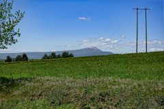
The enjoyment was marred by the gusting wind. I looked to my right and saw Mont Ventoux, at last.
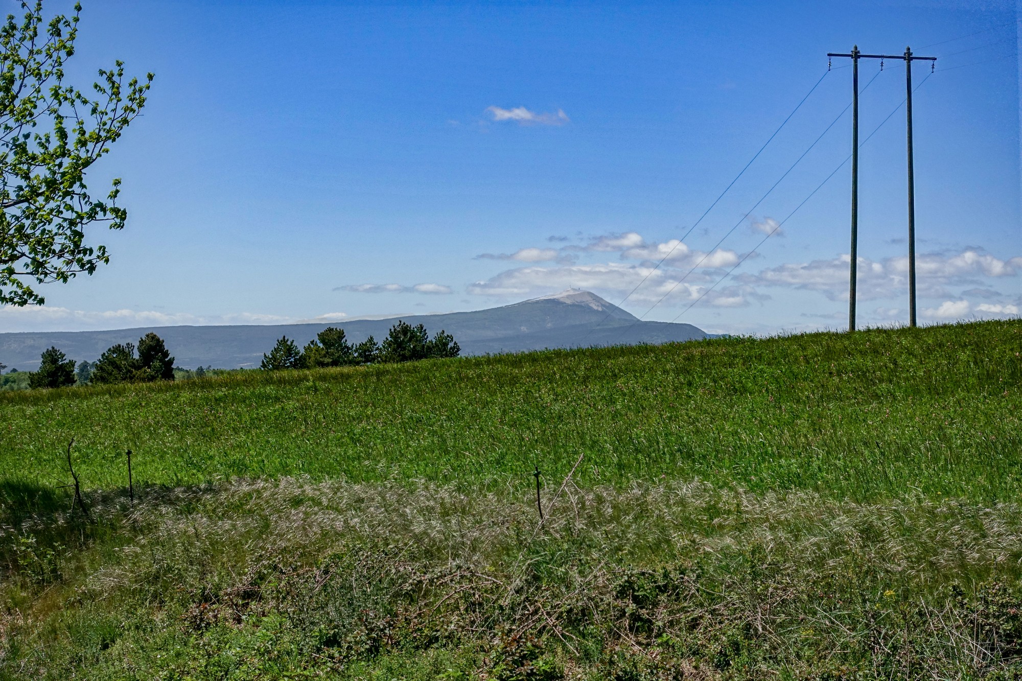
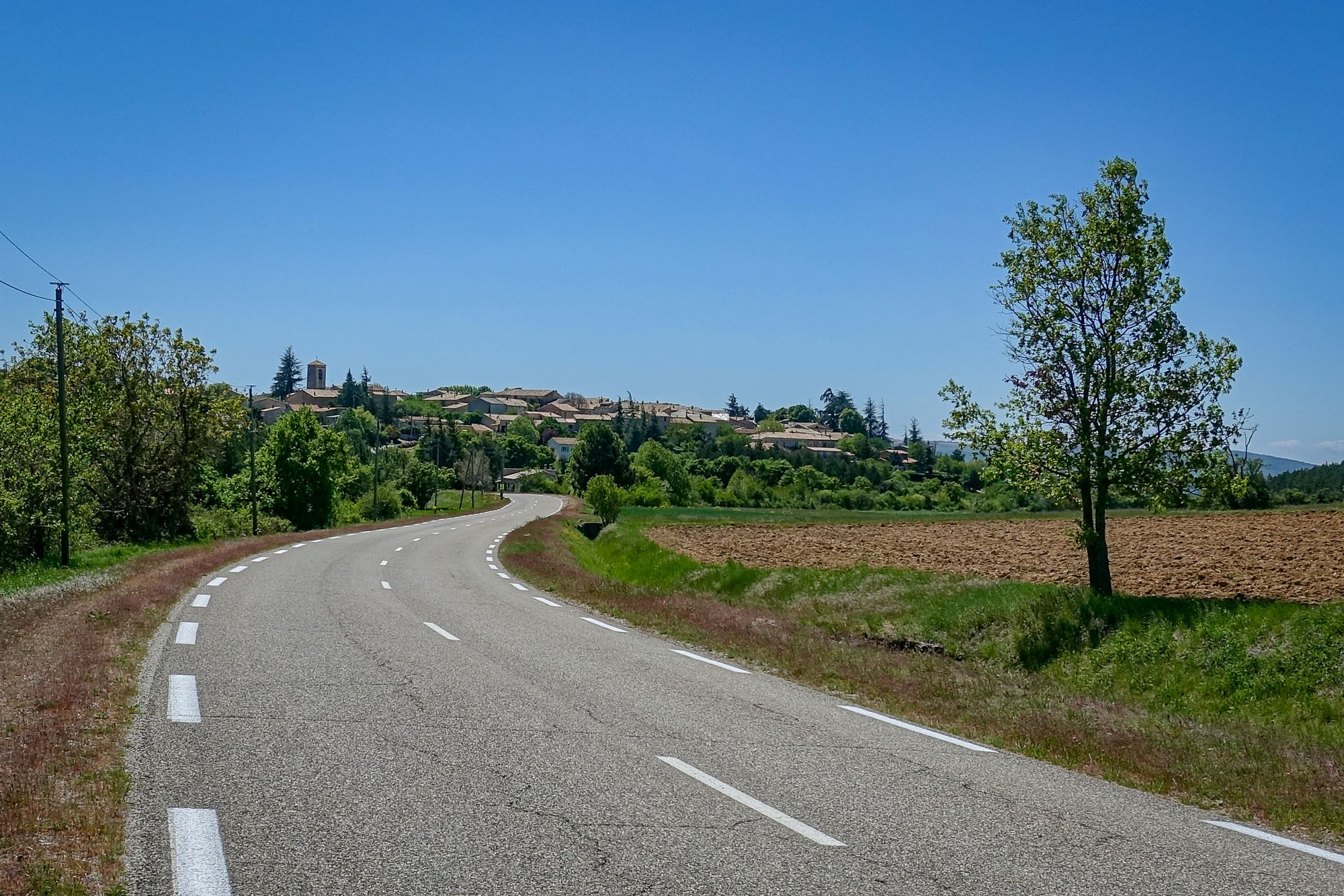
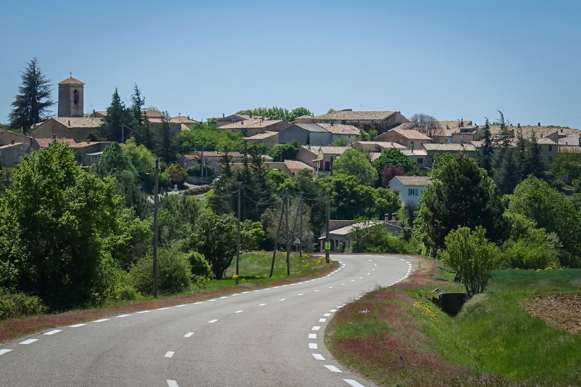
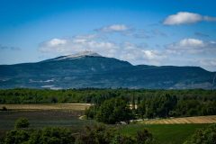
Through Revest-du-Bion my route headed NW, straight into the oncoming wind. It wasn’t very nice, but at least I was getting some Vitamin D today by virtue of the clear skies. Soon, there was a better view of Mont Ventoux with its bald peak and the weather station mast atop. It’s known as the windy mountain, and today’s weather would have made climbing it very tough.
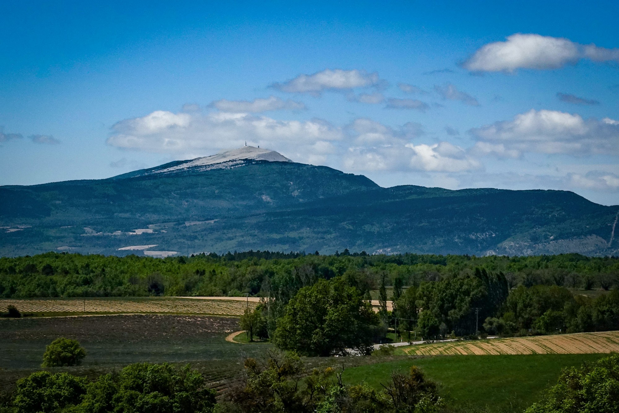
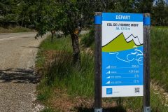
The next five miles were into the wind, a real struggle on the very exposed road, but less so through a short forest section, sheltereed partly from the wind. Eventually I reached Ferrassières, where the climb to Col de l’Homme Mort started.
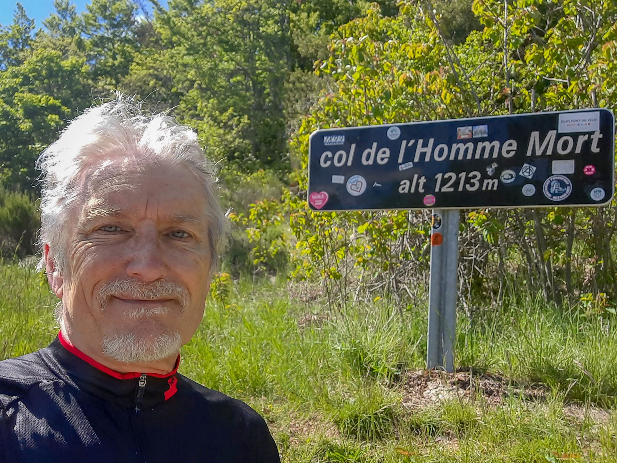
Col de l’Homme Mort means ‘Dead Man’s Pass‘ – sounds like something from an old western.
Despite the gusty, chilly wind, I took my rain jacket off and put it in my back pocket, figuring that the effort of the climb would keep me warm. I also had a protein bar. I was dreading the windy ascent, even though it wasn’t that steep.
As the road repeatedly switched-back on itself, there were periods when the wind was in my face and others where it was slightly behind.
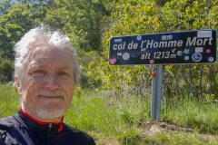
I eventually reached the col.
I put my rain jacket back on and had a fig roll.
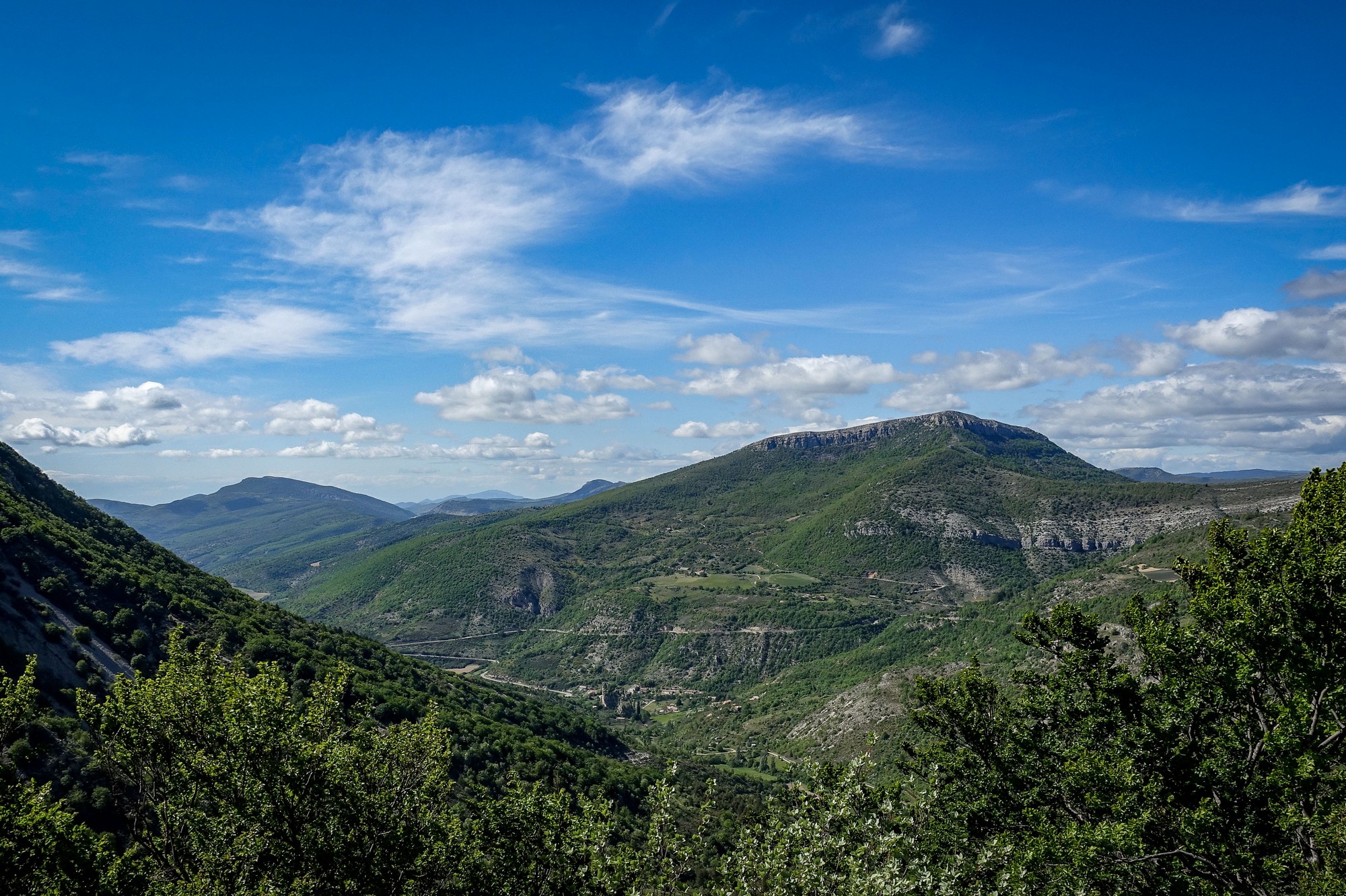
It was not a nice descent by virtue of the wind. Luckily there was almost zero traffic about, so I could ride in the middle of the lane (or even the middle of the road sometimes) in case a gust blew me sideways. Nevertheless there were some lovely views.
And once again Mont Ventoux appeared to my left.
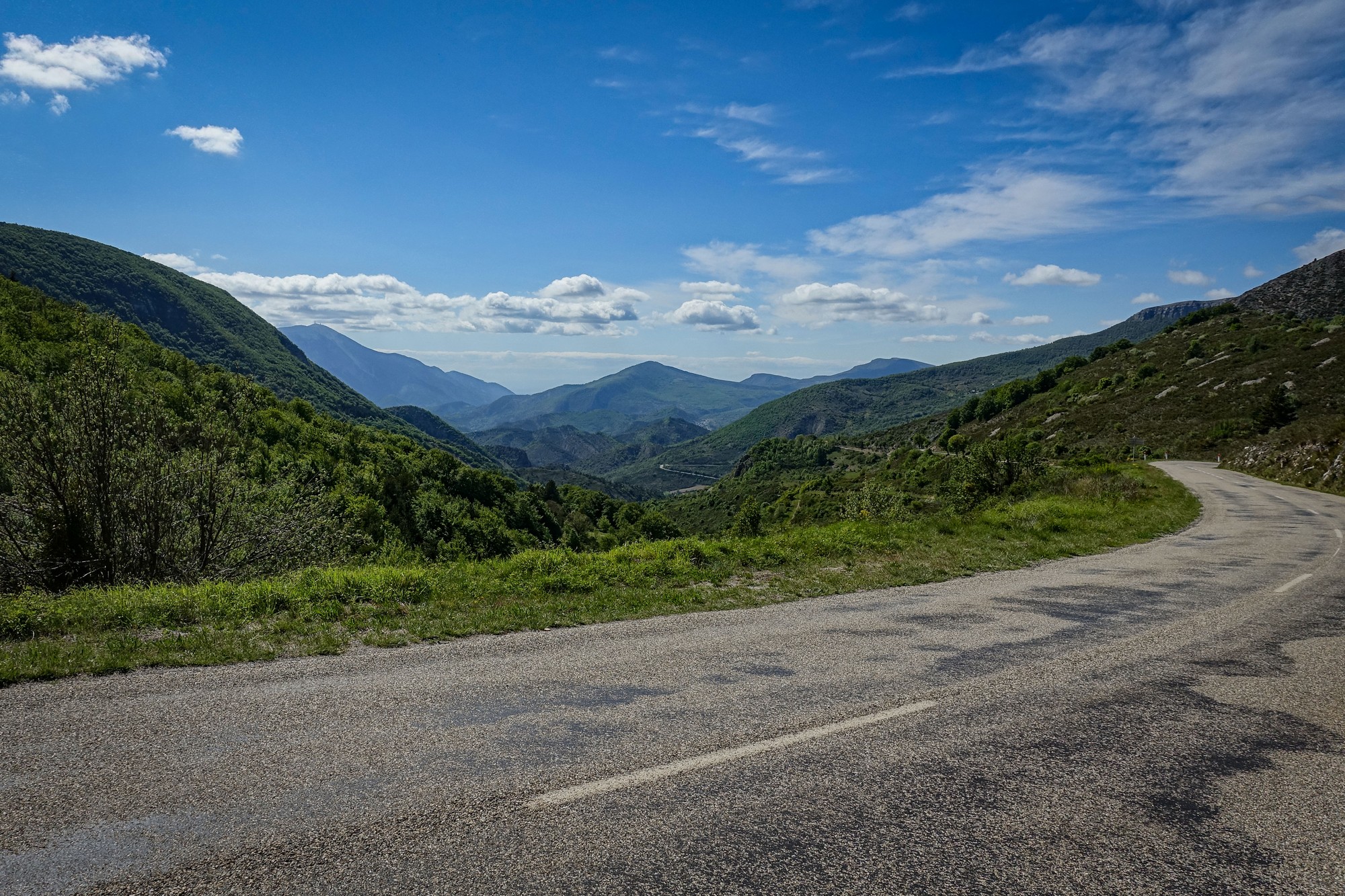
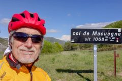
The road continued to descend until it joined the D542 at the Col de Macuègne, where there was a group of German cyclists taking a break.
I got my photo and continued to drop down the hill. That 4-mile section between Col de Macuègne and my next turn off was a beautiful stretch of road and would have been a really enjoyable descent without the wind. I enjoyed it as best I could but found myself slowing considerably during some strong gusts.
I reached my turn off to the D546 and at last I could enjoy the wind behind me, as predicted, as I headed east towards the Col de la Pigière, where my loop ended and I just had the four downhill miles to do.
I assume it’s obvious how I’m going to sum-up this ride. The views were spectacular, the roads wonderful and there was no traffic. The sun shone nearly the whole time. But the wind and cold took the edge off. I got back with freezing cold hands and had left my rain jacket on for that last climb to Col de la Pigière, it was that chilly. Still you can’t always get what you want..
It was still a great ride in a wonderful region of France.
Addendum
As pointed out by Al in the comments below, the windy conditions I’d experienced today were the effects of the Mistral. I’ve heard people describe almost any wind in France as the Mistral, but it looks like this was the real McCoy. The direction, the time of year, the location, and the conditions all match the description perfectly.
Fuel
- 1 bidon High5 Zero sports drink
- 1 Trek Protein Flapjack
- 1 Fig Roll
Gallery
Click to enlarge / see slideshow














Enjoying your blogs. Sounds like you are experiencing a Mistral wind which we had all the way up the Rhone valley
Cheers Al.
Yes, I think you’re right. The direction and conditions match the description exactly. I’ll put a link in the post and mention that. Thanks