Distance: 26.1 miles. Elevation: 4834 ft.
Le Collet | Col du Sabot
After my last attempt at Col du Sabot ended prematurely with a drenching, two days ago, I was keen to give it another shot while I’m still in the area. The following day (yesterday) it rained all day, so I was able to have a rest day, after three days of tough rides. Today the weather forecast didn’t look too good but most weather sites sort of agreed that there could be a dry spell in the early or middle of the day. So my plan was to leave as early as possible if it was dry. Unfortunately it started raining around 8AM. I kept monitoring the weather sites, especially radar. When the rain stopped I quickly got ready and left, at midday.
I had my raincoat and arm warmers in my backpack. The air felt warm. It was quite muggy. The sky looked really misty. I think there was some blue up there but I couldn’t really tell. It didn’t look promising. So the route was exactly the same as on Thursday. First past the lake and then the steep climb to Vaujany begun. I thought I’d see whether I could do the climb without using my lowest gear (which I had used last time). I felt OK so just left it in second gear even though the climb to that first town is 10%. I decided to keep going all the way to Vaujany without stopping. There wouldn’t be any photos to take because I got them the other day when the sun was partially out. Today it was bright but with a real haze in the air. No sunshine.
When I reached Vaujany I thought I should go right through the town before I stopped. Anyway I felt good enough to carry on, so I then decided that I could keep going until the war memorial where I did my report on Thursday. But when I reached that spot I still felt okay, so then I thought I’d go as far as the point at which I turned back on Thurday. And that took much longer to reach than I had expected. But I recognised the spot when I got there. And I still felt OK so I didn’t stop there either. And I still hadn’t used first gear.
I felt comfortable. Temperature was ideal. There was no sun to get baked under and there was no wind. There was absolutely no traffic on that last section. One motorbike had come down past me earlier. Every now and again I’d get out of the saddle to try and use different muscles and to relieve a slight back pain. By this point I realised that I might be able to do the whole climb without stopping.
There was no sound other than my breathing, and birds twittering, and always the sound, near or far, of water rushing down the mountains. My ears kept getting blocked. Obviously to do with the altitude but I’ve only ever had this happen on descents before now, where the pressure change happens more quickly. For a while they kept popping on every breath I made. It was quite irritating. Maybe it was because I hadn’t had anything solid to swallow (like a sandwich).
Over the last few miles there is a series of switchbacks that look almost identical, which is very frustrating when you’re looking for indications that you’re nearly there, but when you turn the corner it just looks the same as the previous time. The views back down the valley were epic, but still there was so much mist obscuring the far view. At one point I saw a sign for walkers that said Col du Sabot was 1.5km. That’s less than a mile, I thought to myself. I knew that the road would take much longer to get there than the trail but it was still encouraging. It started to get a bit tough towards the top but still I pedalled on, trying to make sure I was breathing properly. I still had first gear to fall back on if I needed it. I heard a marmot’s shrill cry echo across the rocks.
Finally the road started to straighten out and I was sure that this was the final approach to the col. And it was. Until I reached it I had no way of knowing whether the col would be accessible or blocked by snow. Nobody I’d asked knew if the col was ‘open’. I say ‘open’ but this col doesn’t go any further on tarmac. So as I neared the top I knew that I was going to make it all the way without having stopped.
When I reached it I saw that snow blocked the road. Some of this I could get round by carrying my bike higher along the edge of the road. But for the last bit I decided to leave my bike and just walk to the col sign.
A very hazy sun tried to break through the murk.
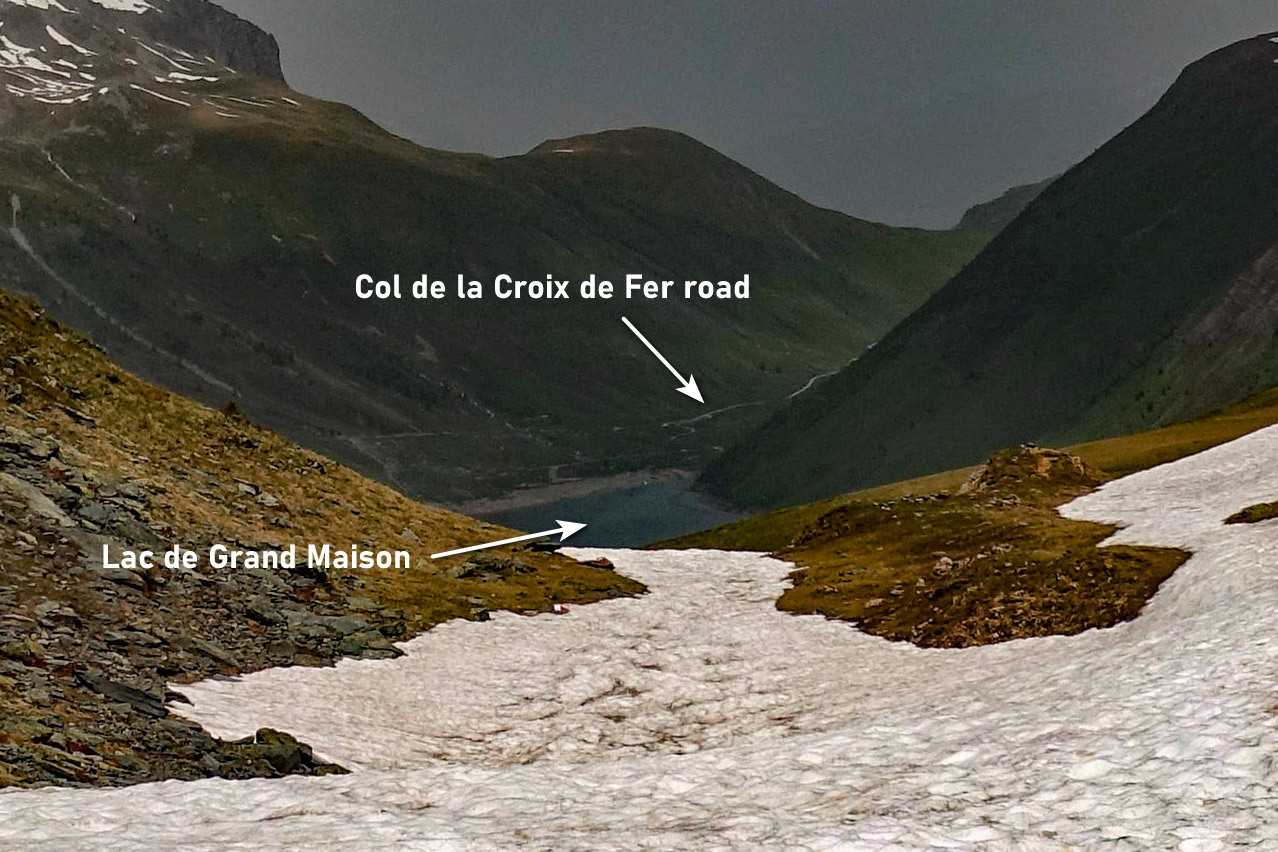
I climbed round the rocks beyond the col sign to see if I could see into the valley on the other side. And I could. I saw Lac de Grand Maison and the road that leads to Col de la Croix de Fer.
I’m glad I could see down the other side. It reinforced the sense of this being a col, a route across the mountains, often from one valley to another. Although in this case it’s actually the same valley on both sides, the Vallée de l’Eau d’Olle.
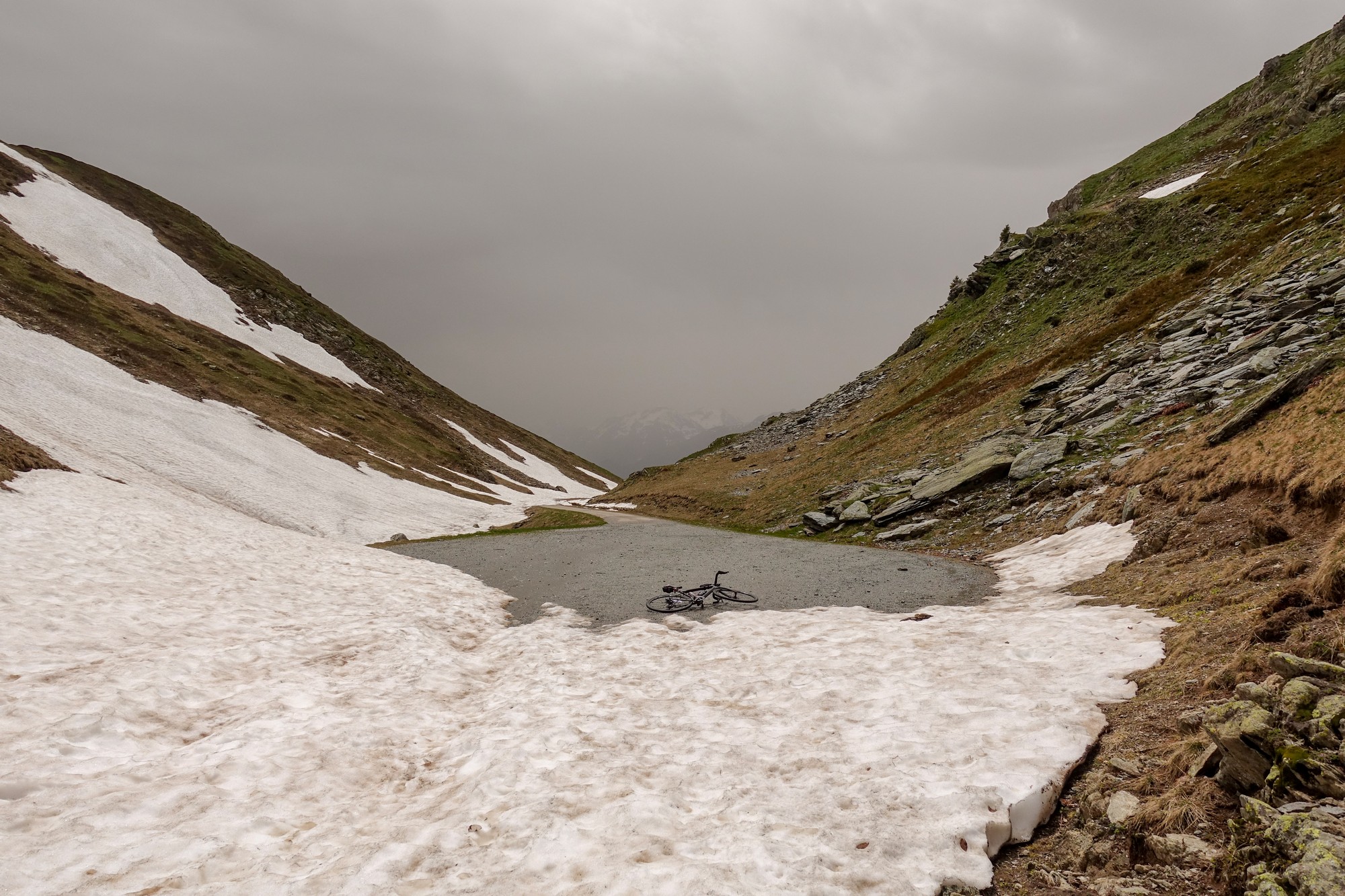
Because of the big question marks over the weather I decided not to hang about up there. I figured I could have my cheese sandwich as a toastie when I got back to the van. So I scrambled with my bike around the snow again. While I was up there I saw three ibex to my right. One ran across the road some distance from me and scaled the snow-covered slopes to my left. I tried to video it. I heard loads of marmots calling, but didn’t see any.
The air up there was comfortably warm. I put my arm-warmers and rain jacket on for the descent and made my way down. Photos can tell the rest of the story (although they all look rather similar!).
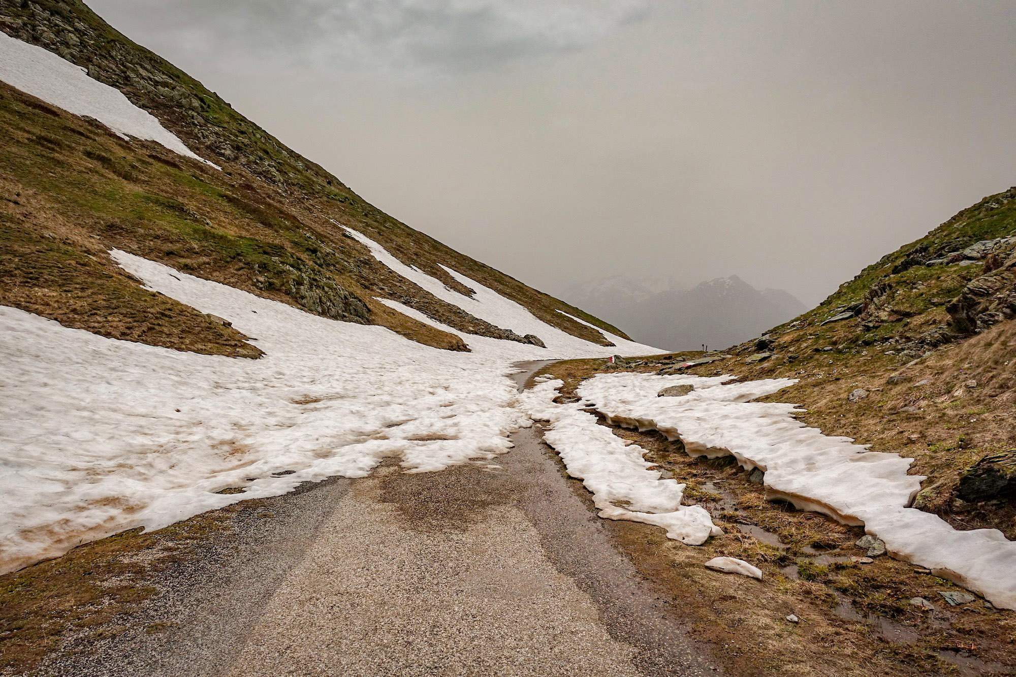
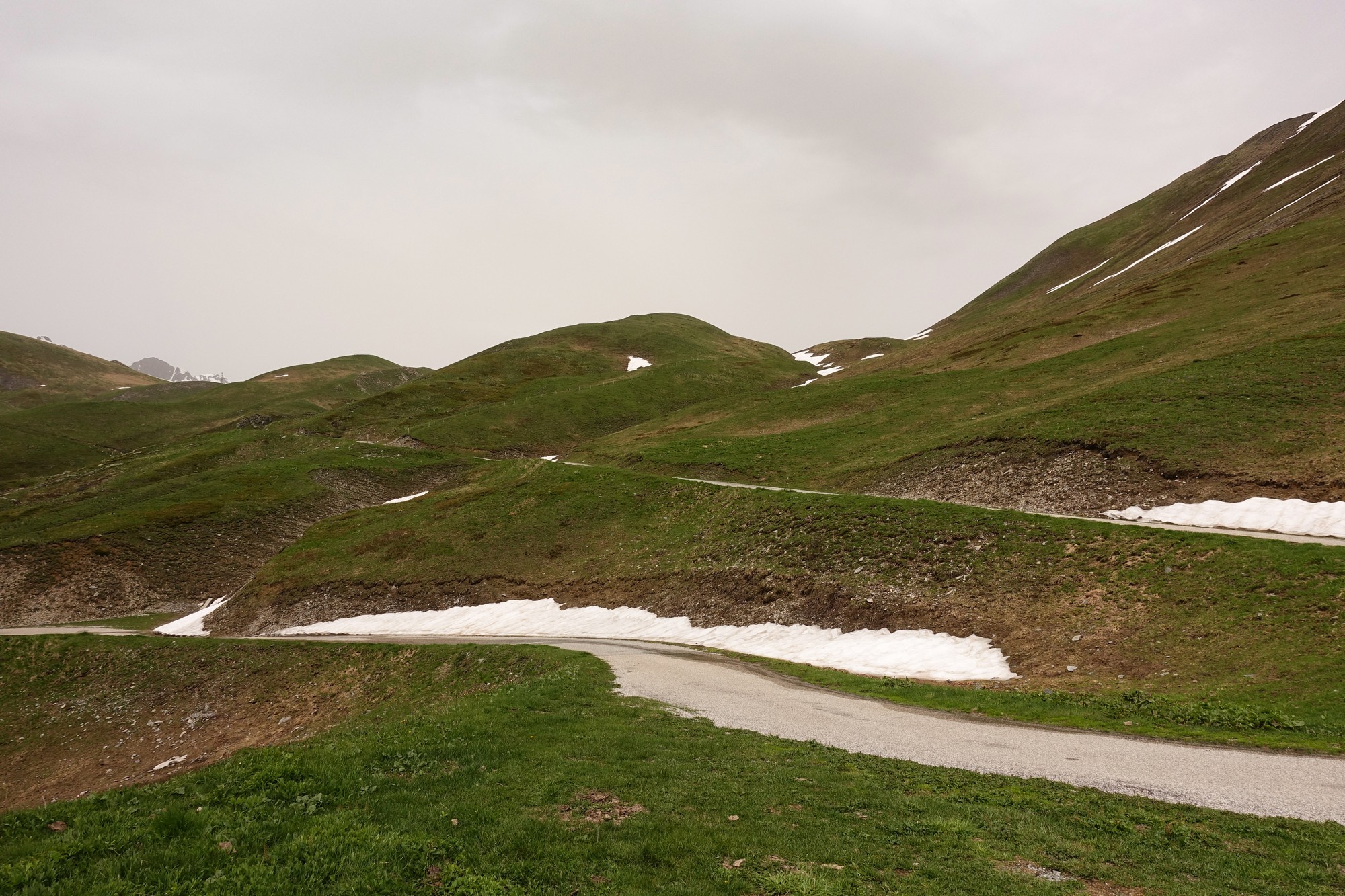
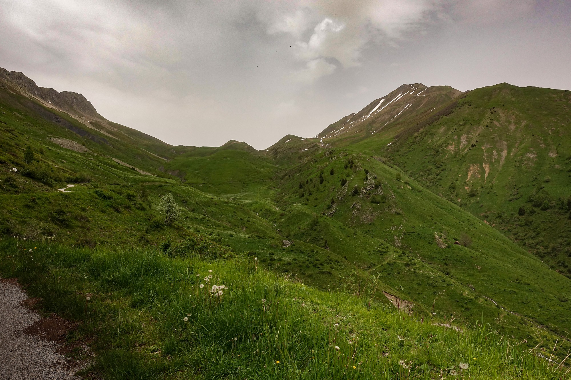
I had been stopping frequently for photos, mainly of the road ahead winding down the mountain, but after a while I realised that the sky in the direction I was heading was even more obscured, and looking really grey.
That must surely be rain, I thought. And eventually I felt some on me. My first thought was to get to Vaujany where there might be a cafe or somewhere to hole out. From this point on I saw loads of cyclists ascending. The rain was fine and wasn’t too bad at first. When I reached Vaujany I decided to keep riding until I got to that bus shelter I’d stopped at on Thursday.
I still had my sandwich available so I sat there in the bus shelter and ate it while watching the rain. Some riders went by in the upward direction.
After a while (18 minutes according to Wahoo data) the rain eased slightly so I went out into it to continue the ride back down. Even though I was riding into rain the whole way back I didn’t get particulalry wet. Crucially my feet remained dry.
The photo below was taken just before the bus stop. I wouldn’t normally have included it because it’s out of focus, but it does show a slight orange glow in the air.
… and after the ride, when the raindrops had dried, my bike, helmet and goggles were coated with an orange dust. Weird.
So it was a shame that it had once again rained. I could have had a better view over the top of the col, and I almost certainly would have taken on the optional climb to that table d’orientation out of Vaujany on the way back, because I was feeling so strong.
On the positive side, the snow hadn’t prevented me reaching the col sign, just. And I was really pleased that I could do the whole of this fairly tough climb without stopping, and without resorting to first gear, and without any energy gels. And it’s another one of the special wild cols I’ve had on my list for years. There’s nothing man-made up there (other than the road and signposts), just the way I like it.
The climb from the lake to Col du Sabot is 9 miles at 9% avg. It took just over 2 hours of continuous slog. It’s another >2000m col to add to my collection. This one gets moved to the list of cols to do again, in better weather, maybe later in the year, September onwards. And I still have that table d’orientation to see!


Col du Sabot – Yay! That ‘waterfall’ shot: was the shutter-speed a fluke? 😉
Fluke – schmuke! Lowest ISO, smallest F-Stop, ND filter…