Distance: 40.7 miles. Elevation: 6754 ft.
Only a few months ago I became inspired to do some of the epic Swiss passes, like the Furka, Grimsel, Gotthard, etc after reading about the St. Gotthard pass in the excellent book Mountain High. But I wanted to do them during weekdays, as advised, because they should be less busy. So I decided to bide time further west along the Rhône valley at Conthey, to take on the Col du Sanetsch, and maybe others I'd scoped-out and planned for in the area. I arrived in Sion on the Wednesday, but Thursday was a wash out with rain all day, but luckily the weather improved for Friday, and here is my account of the ride, done as a sequence of in-ride reports I'd recorded on my phone at various points.
11:00 First report coming at just over four miles, at a picnic bench overlooking Conthey, and the main thing to report is that it's steep and hot and I don't feel completely fit even though it's only been about 10 days since I was on my bike, and back then I was as fit as a fiddle so I should be okay. There was quite a bit of traffic at the start of the ride through the town of Conthey, then coming up through the vineyards there's a vehicle every now and again so not completely quiet.
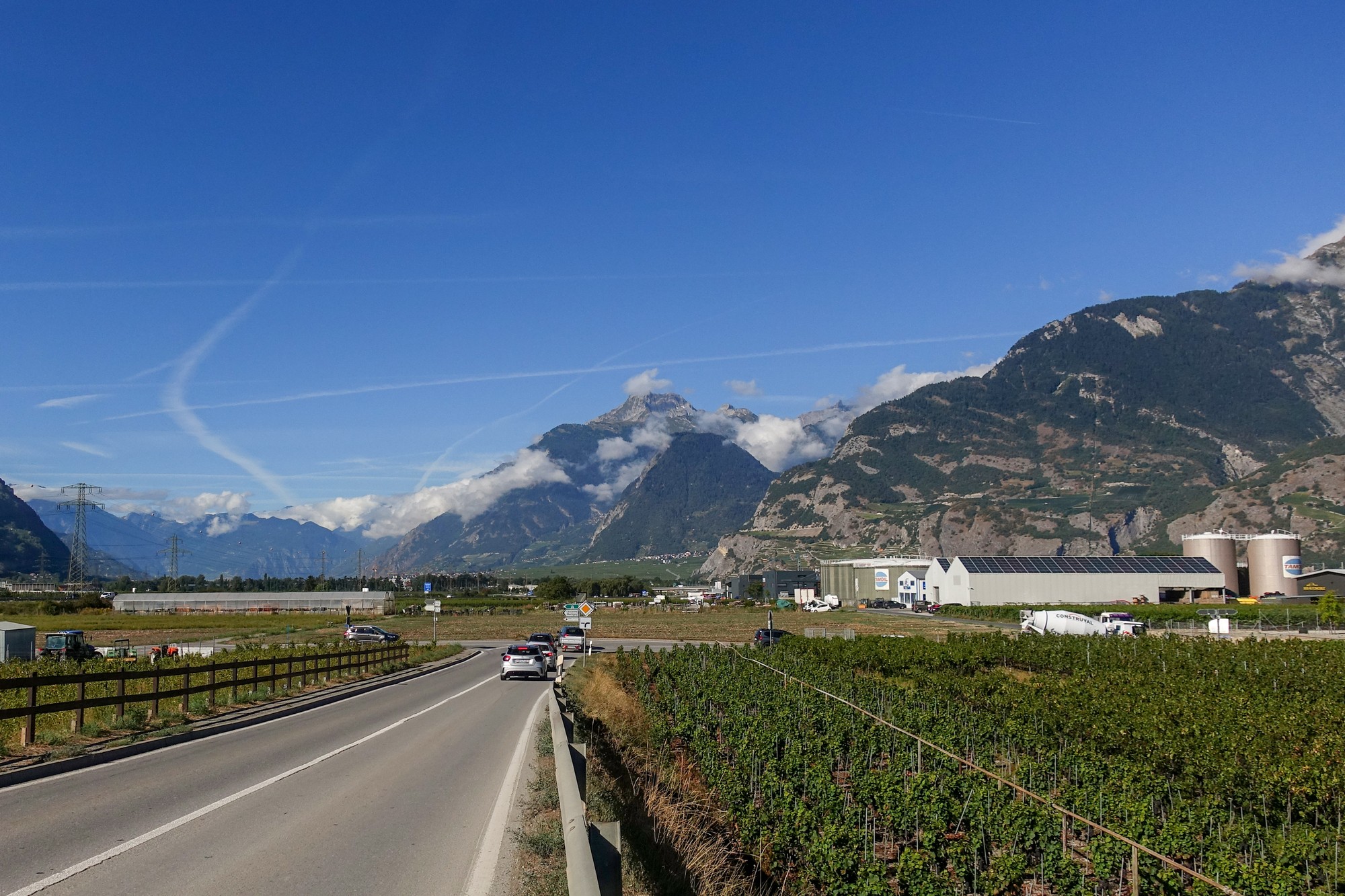
But the main thing that's getting to me is the heat. I've got a base layer on and wish that I didn't really. I could always take it off. And I've got my backpack with my drone and rain jacket and loads of other stuff and I'm on my gravel bike so everything feels quite heavy compared to normal, but I'm glad I brought the gravel bike because I need the low gears. Also I had made some adjustments on my gravel bike - I've replaced the front derailleur and installed new discs and pads. The front changer seems to be working perfectly after a last minute adjustment last night. The pads I haven't worn in but I've only had to tap lightly on the front brake so far, so I intend to bed them in on the descent.
Here at the picnic bench there's a small amount of shade. Climbing up this south-facing slope I have been in the sun the whole way and I'm just feeling way too hot - in fact I think I'll have a pain killer just to preempt what will happen in an hour or so.
12:29 I've stopped here in the shade of trees. I was surprised to see 11 miles done. I feel much better than I had at the last stop. The climb got easier with some less steep bits as it went through villages and eventually into forest where it was much cooler. There's maybe a car every 5 minutes or so. I've only seen 3 or 4 cyclists.
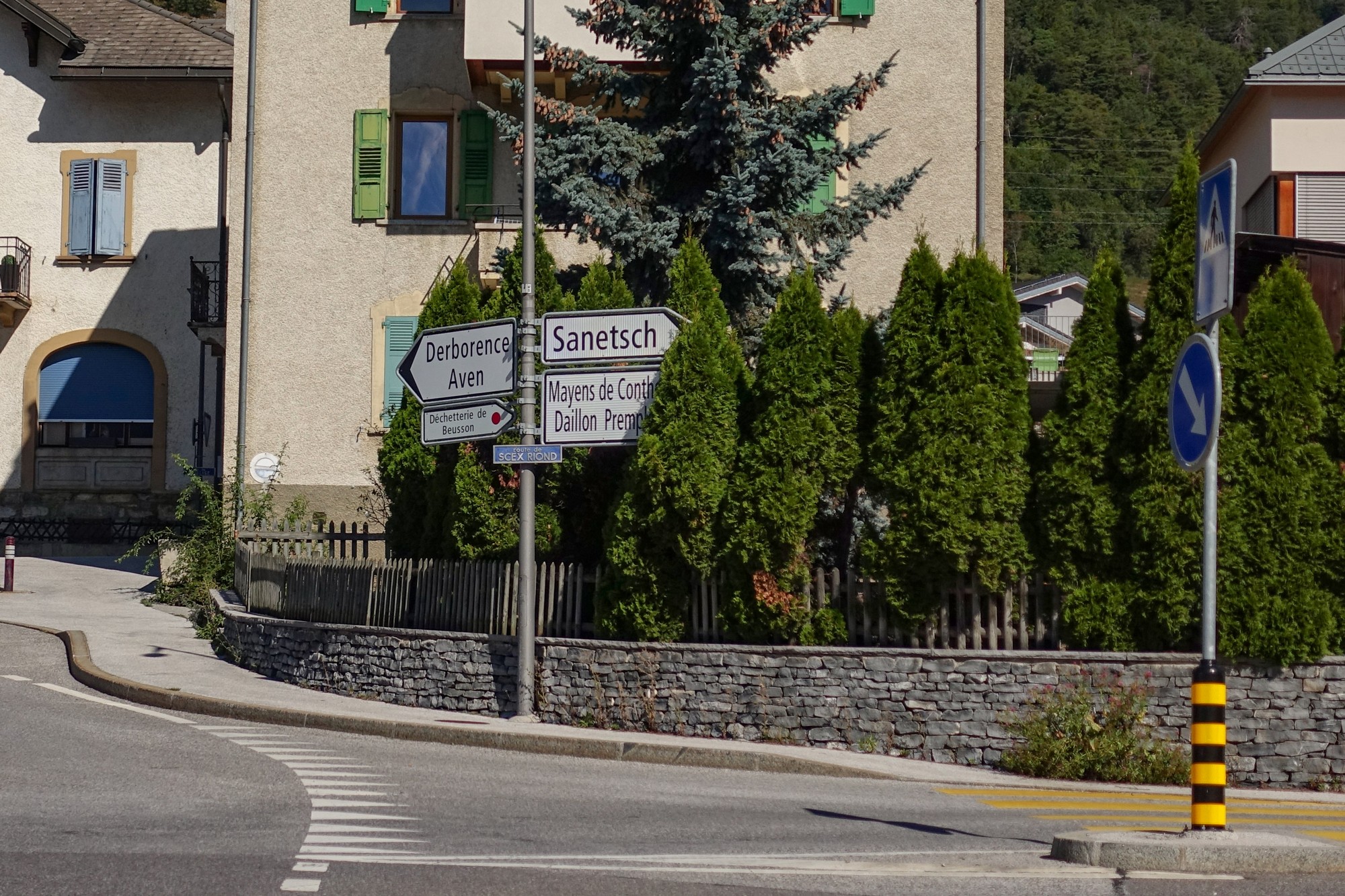
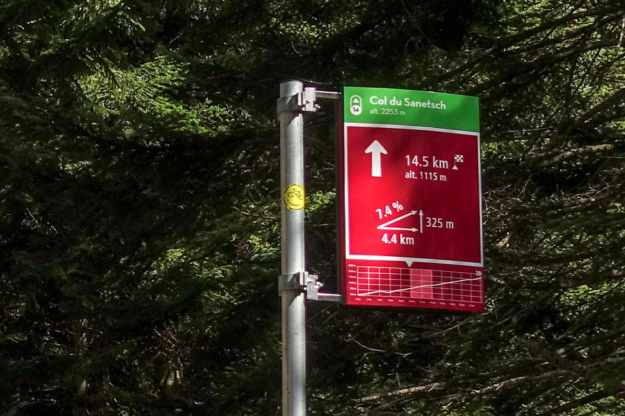
I was quite pleased that I had been managing to do the climb in second gear and was feeling quite good about myself, when I came round one switchback and was forced to use 1st as the incline reared up in front of me. Serves me right for being so cocky! It was if the road was saying "oh, so you think it's easy do you? Well how about this?"
Since then there have been some areas of respite and some very steep sections. I saw 16% on the Wahoo. The air is much cooler now I've got higher and with the shade in the forest, and that has helped a lot. But I'm feeling quite strong now so that's better. At one point I could see a road on the other side of the deep valley I'm in, on the shady side much higher up. It looked quite hairy. I'm wondering if that's the one I'll be doing on the way back.
I've just finished my banana and will press on. I think the end of the climb is at 17 miles, so about another 6 miles to go.
13:17 Since that last report the road ramped up sharply and I've been in first gear ever since.
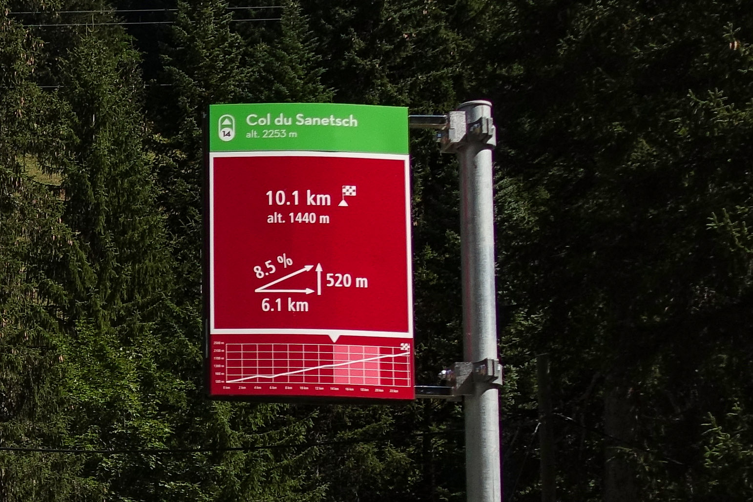
I've now done 13, no 14, miles, so three miles to go, which will be a challenge at this gradient. At one point I saw a bridge much higher up ahead and wondered if it might be part of my route, and then I saw some cyclists ride across it so I realised I would be going on that road. And the climb up to that point was extremely steep, probably 9 or 10% going past some construction works and various stuff, so there wasn't much of an interesting view - I'm not out into the wild yet. I've stopped here because sweat has been dripping down into my left eye and making it sting. I've been getting a bit hungry so I'm gonna have half my HDM sandwich. I've placed the action camera on the ground, hopefully doing a timelapse of the view while I'm eating my sandwich and making these notes, but what the results will be like I don't know. (See below - I could have framed it better, but it's my first attempt)
14:36 I've now reached Col du Sanetsch.
Since the previous report the road started getting wilder with no more chalets etc but the gradient never let up. Eventually I reached the tunnel I had read about. Half a mile long, it was lit dimly, and I had my front light on as well (and I still had my shades on!). Just as you approach the tunnel you get a first glimpse of the Tsanfleuron glacier up ahead.
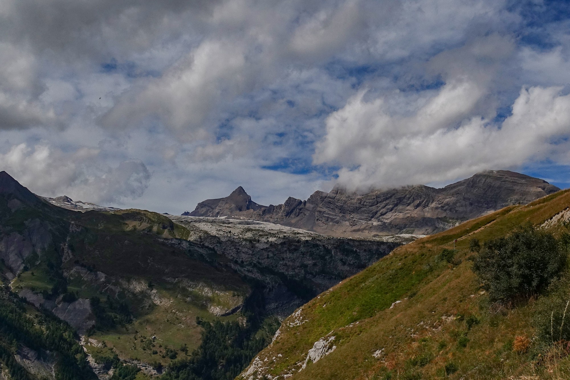
I'm glad I got to see it while it's still here - soon it won't be, sadly. More info below.
The road after the tunnel was exposed in the sun but now, here at the col, there is a significant amount of cloud, probably about 70 or 80%. But the air is cool up here. The good news is that there was a tail wind blowing me up the last bit. But that could be in my face coming back up from the lake where I'm now headed. Once beyond the trees and houses etc. it was peaceful with just grasshoppers and even a marmot shrill echoing across the rocks. But towards the top it's not that attractive a col. There's loads of electricity pylons and piles of grit and building work going on. Approaching the col there was a helicopter hovering around for ages which was really annoying.
There's about 20 cars up here. A few cyclists. It's definitely not Bonette. I can see the glacier. I'm just going down to the lake.
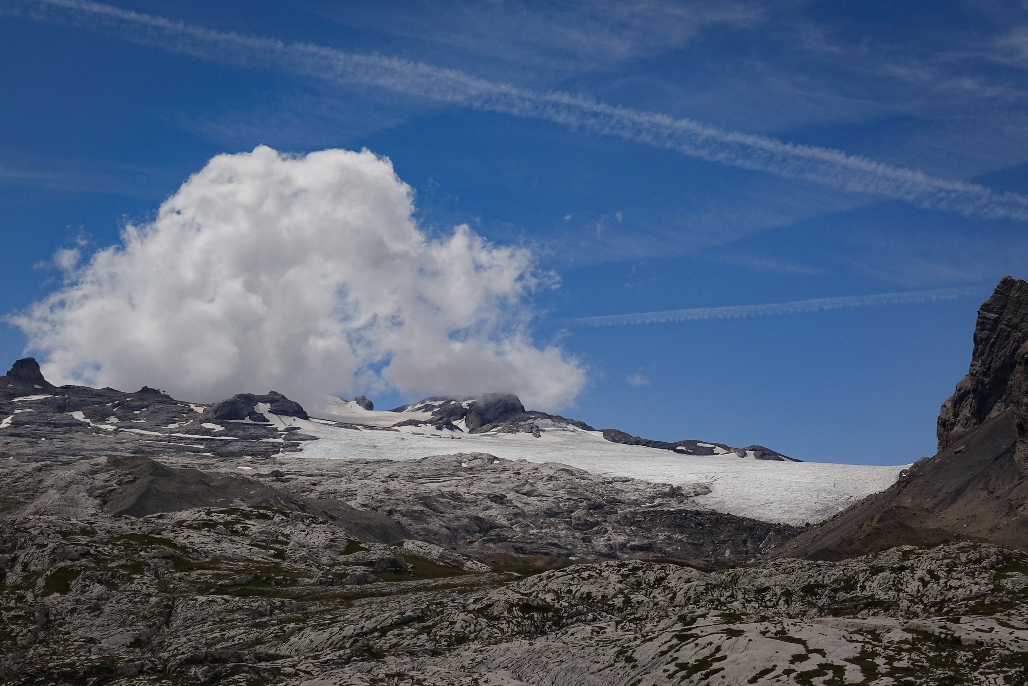
15:17 This report coming from the lake. Descending from the col down to here was the first bit of downhill since fitting my new brakes, so I tried to bed the pads in by applying the brakes firmly for long periods then getting back up to speed and repeating, as advised. The back one seemed fine. The front squealed sometimes.
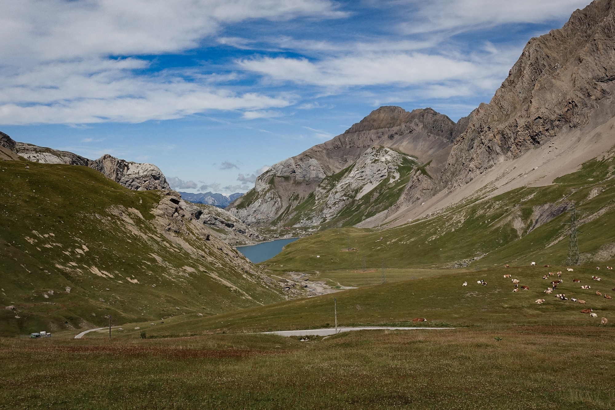
Well the col itself may have been fairly boring but the lake down here and the mountains surrounding it, are absolutely spectacular; just my cup of tea, and you can ride across the dam, which is a bonus.
There's quite a breeze here so I'm not going to get my drone out, which is a shame but I think it's too windy to fly. There's a gusty wind - it might be all right but I'm not gonna risk it. I've been taking more and more pictures with the action cam because you can get a very wide angle shot with that. It was quite steep coming down from the col to here so I've got that to climb on the way back. There was also a very steep road as I cycled round to come up on the other side of the dam. So I think this ride is definitely going to take it out of me. I just hope I can recover somewhat for another ride tomorrow.
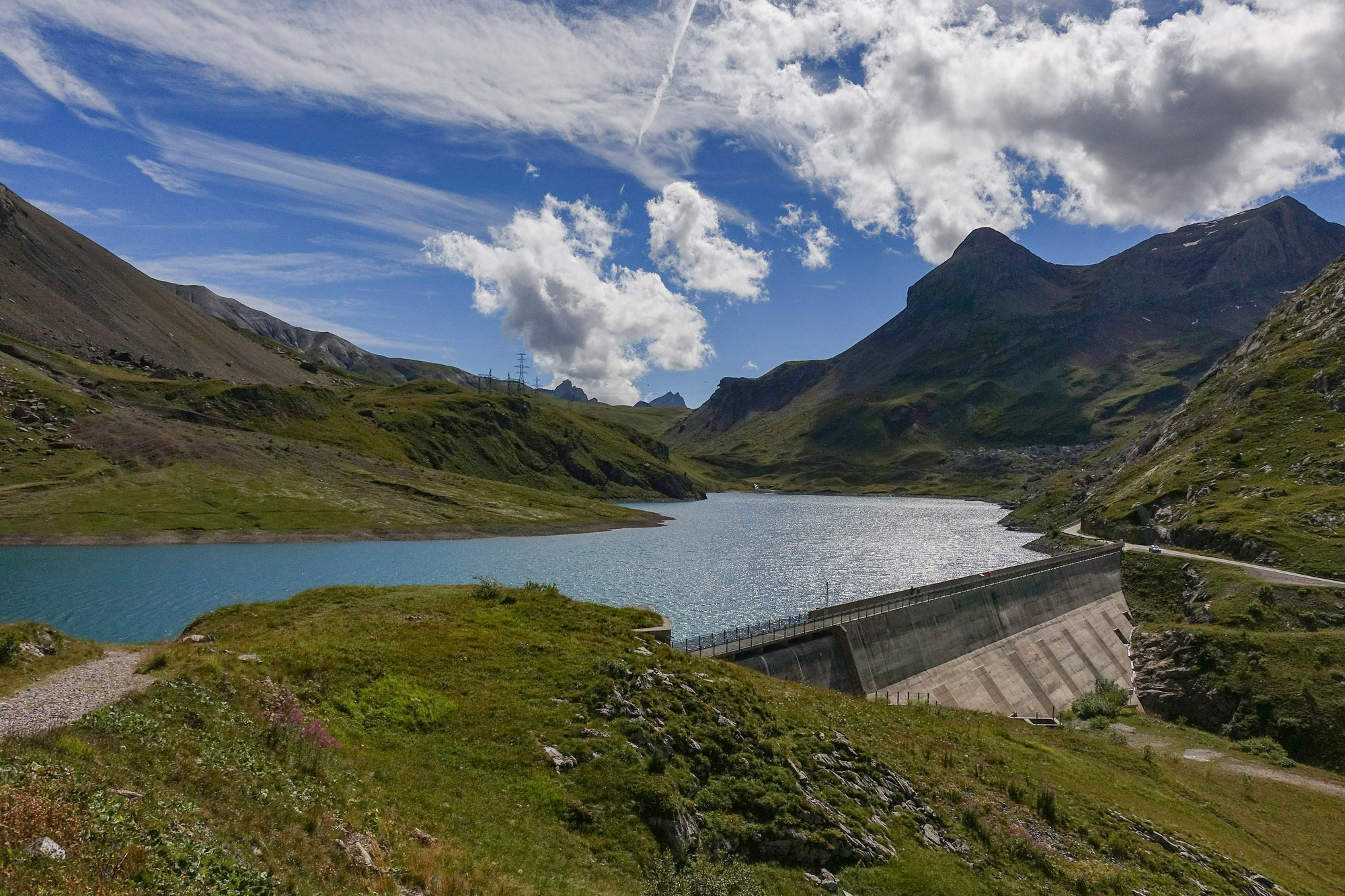
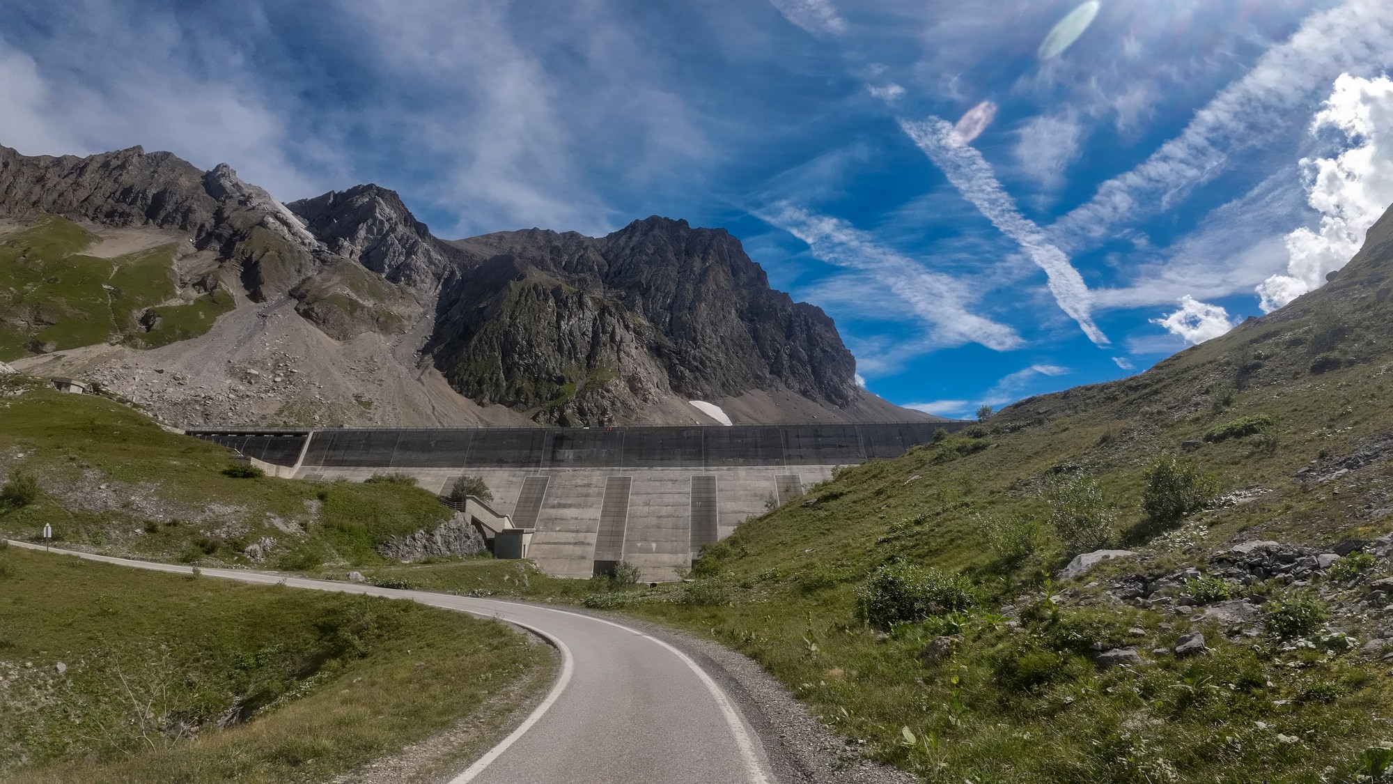
Final report from end of ride Climbing back up to the col from the lake I found quite a challenge. I stopped for loads of photos anyway, but I was just dragging myself up there. My left knee started hurting so I tried to get my right leg to do most of the work. At the col I put my rain jacket on even though it wasn't that cold. I kept stopping for photos and using my action cam for both videos and wide-angle stills.
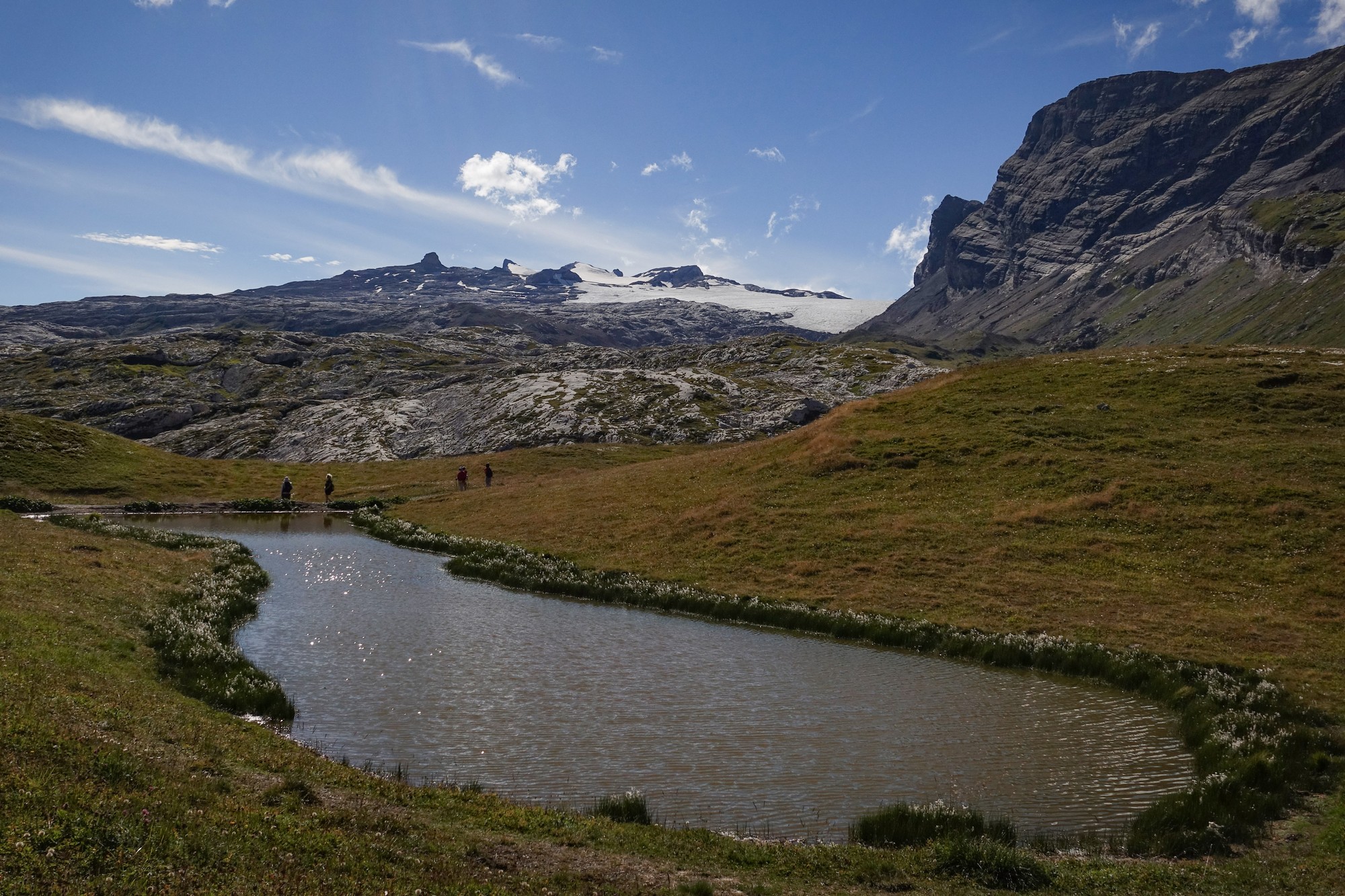
I must admit I found some of the views at the top spectacular, despite what I'd said earlier, but I stand by my observation that there is too much going on up here to make it truly awesome. I'm wondering if that helicopter had also contributed to my negative impression.
In the tunnel I ventured up one of the side portals. It came out on a sheer drop. I wonder what these are for.
The top part of the descent was amazing. I videoed some of it and got some photos.
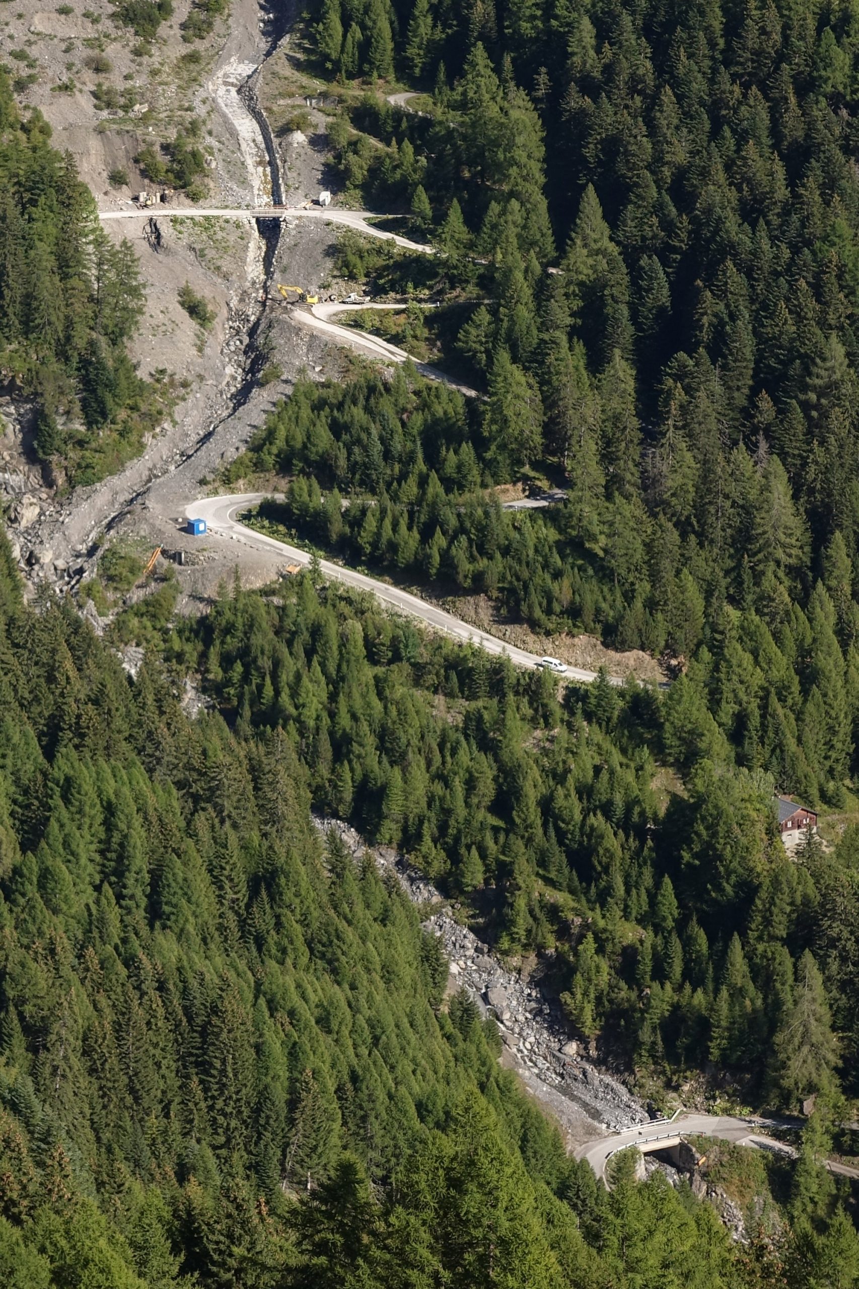
My front disc was squealing at first but seemed better later. Once the road entered the forest there was less reason to stop. I went through some quite cold patches making me thankful for the rain jacket, but at other points it was really warm.
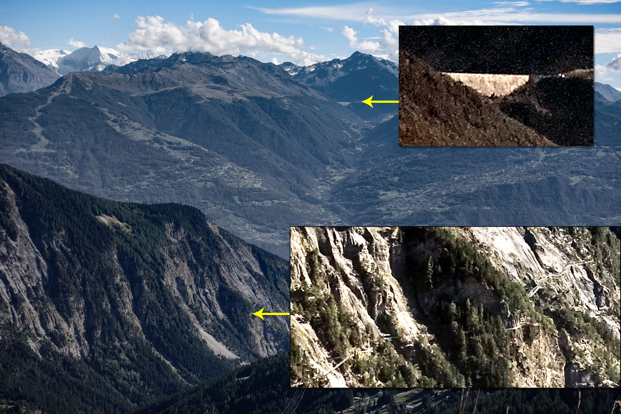
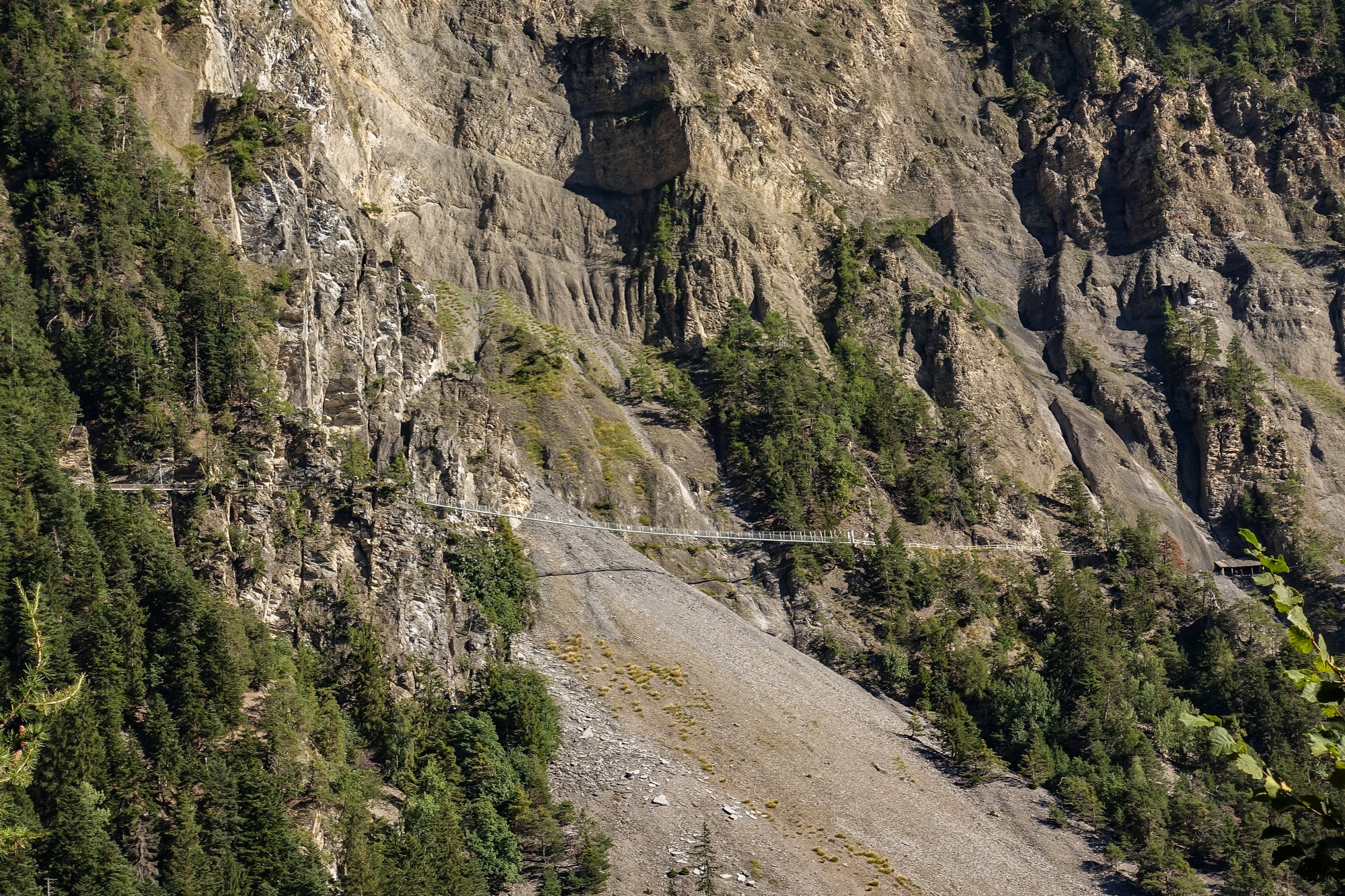
I saw that road again on the other side of the valley, now in sunshine as I had predicted, but when I took a closer look, it looked like it was just for walkers. In fact one part looked like a suspended walkway, and I realised that it probably wouldn't be my route back - must google when I get back.
I kept wondering where I would be turning off for the alternative way back down that I had included in the route. But the Wahoo just took me back the same way I had come and didn't turn off anywhere. As I got nearer to Conthey I realised the Wahoo had the old (unmodified) route loaded. It had done that before. Damn!
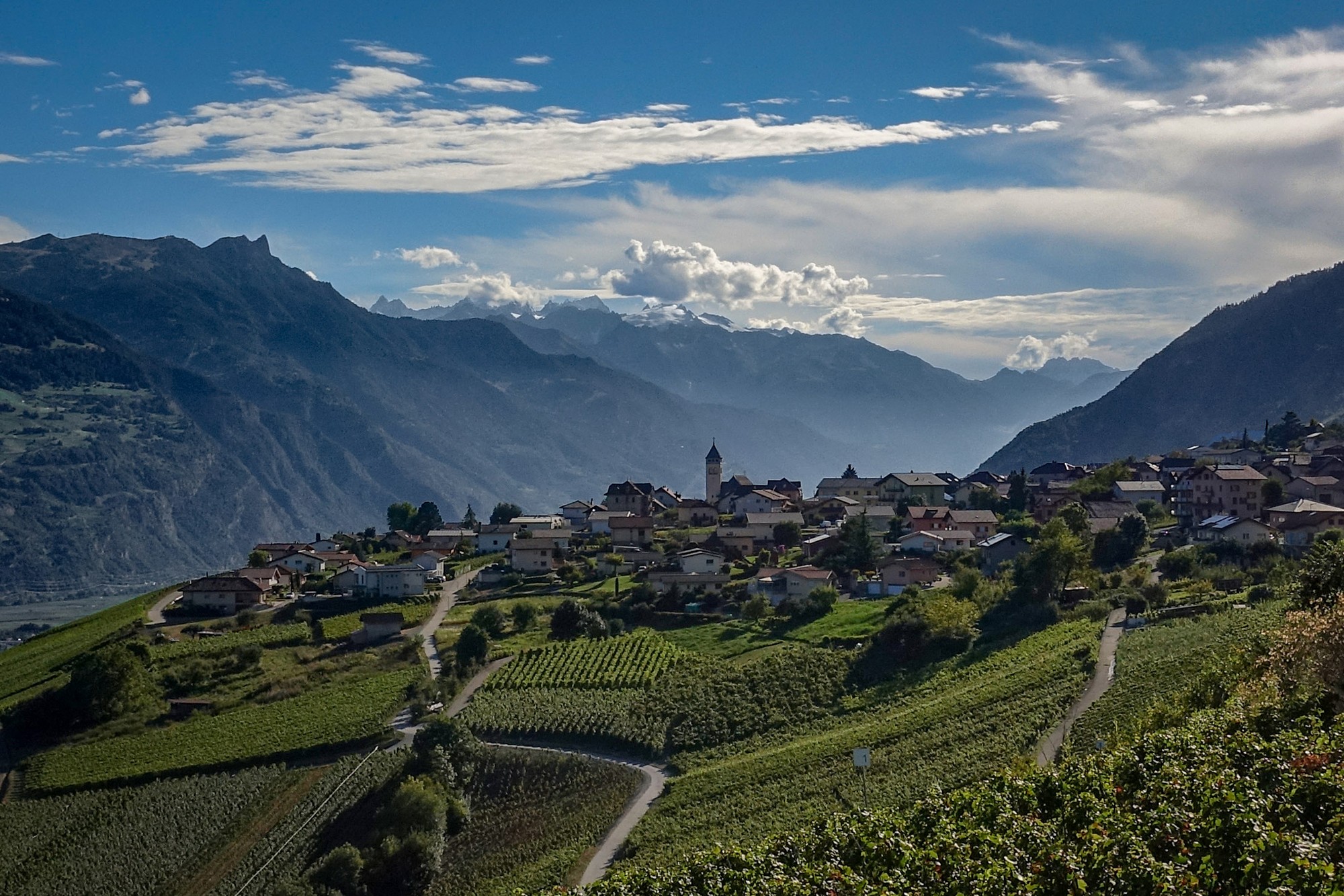
It was very warm descending back to town. I also realised how steep it was. No wonder I felt challenged at the start of the ride. It wasn't much fun dealing with the traffic again, but not too bad. My left knee was completely fine for the last part of the ride.
I was really annoyed that the Wahoo had made me miss the other way back. I even thought I could maybe just go around that loop another time to see what I'd missed.
I discovered later that the other 'road' I'd seen on the opposite face of the mountain is called Le Sentier du Bisse de Saviese, and is just for walkers, and it does indeed include a suspension footbridge. I bet that's excellent. More info below.
Ride notes
Good - The bike, particularly the gears, all worked perfectly. It's back to its old self after my having just changed the front derailleur cable and front mech, and a recent new chain. (The front derailleur had not worked properly for well over a year!) And the new brakes were working well. In fact I hadn't even ridden the bike since all those changes, so this was a test ride!
Good - Action camera was easy to use, recorded a good timelapse and got some great wide-angle shots.
Good - Action camera quick release mount is brilliant. I can quickly whip the camera off the handlebars for stills or handheld movies. In fact it's a lot easier than using my 'proper' camera. I don't think it will replace my Sony RX100 but time will tell.
Bad - Action camera does not have wrist strap, nor anywhere to fit one. I felt really wary about holding the camera over water or over the edge of sheer drops.
Bad - Action camera mount kept slipping - will have to carry the tightening tool with me.
Bad - Action camera mount rattles on bumpy ground causing the camera image stabilisation to struggle.
Bad - Action camera stills are overexposed (but still useable with post-processing) using automatic settings - I need to adjust this in settings.
Bad - Wahoo had old route so I missed my alternative way down. I mustn't assume that the Wahoo has loaded the latest route.
Bad - Too windy for drone.
Good - Strava tells me this was my second biggest climb, exceeded only by Col de l'Iseran from Bourg-Saint-Maurice. So that could explain why it wasn't as easy as expected!
Funny - At the col I had finished my first bidon, so switched to my other 'chiller' bidon which is supposed to keep the contents cool, but when I tried it the drink was warmer than the one I'd just finished!. I assume it had retained the heat from earlier in the ride, whereas the normal one had cooled as I ascended into cooler air. Haha - so it was a waste of time using that!
Further reading
- Col du Sanetsch – Legendary Mountain Passes Loads of details about this Col du Sanetsch ride
- Road cycling in Valais Loads of info about road cycling routes from the Rhone valley
- Balade le long du bisse du Torrent-Neuf à Savièse Information about that suspended walkway I'd seen on the other side of the valley
- Sanetsch Pass Wikipedia article (english)
- Tsanfleuron Glacier Wikipedia (english)
- Rocky Road for Swiss Glaciers Article about the decline of Swiss glaciers. The Tsanfleuron Glacier lost 4m of thickness in 2022 alone. This is sad, but nothing lasts forever...
- Swiss mountain pass ice to melt completely within weeks Interesting page about what gets uncovered when the Tsanfleuron Glacier shrinks
Gallery
Click to enlarge / see slideshow


Great start to tour. Enjoyed the pictures. Which action cam do you use?
Thanks Al.
I’m using a DJI Osmo Action 3. So far it’s been brilliant. Still getting used to it though. The videos on this page have been compressed and resized drastically to enable me to host the videos myself (as opposed to Vimeo or Youtube, etc). It looks like I could get quite good stills from the individual frames of the video footage. Will try that soon. I shot loads more video on this ride but haven’t put all of it up.
Cheers
Vince