Distance: 34.3 miles. Elevation: 5137 ft.
Today I got to tick off another col that's been on my list for a couple of years. Cormet de Roselend. I'd been intrigued with the descriptions and photos, but also by the name itself. It looks a bit like "Roseland" so reminds me of "St. Just in Roseland", which is another evocative name and beautiful place in South Cornwall.
I designed my ride to start in Bourg-Saint-Maurice and climb NW to Cormet de Roselend. However, opinion on line was that the climb from the other side was not only tougher, but more stunning visually, in no small way due to the lake, Lac de Roselend, which was on the other side to me. So I extended my route to carry on past Cormet de Roselend and go down to the lake, a descent of about three and a half miles at 7% average. Of course I'd have to climb back up that on the way back before my downhill home. But I figured that if I wasn't feeling too good at the time, I'd simply miss that extra bit out.
Today's weather was cold by recent trends, at 19°C, but mainly sunny. If I'd looked into it a bit more I'd have realised the wind was from the WNW, ie a headwind on the climb. Obviously I found that out once I started riding a bit further up the valley.
Before the ride I'd had my shoes out in the sun, drying from my last soaking. I wore a base layer today and because of having 2 bidons, I carried a light backsack containing my rain jacket, arm warmers, sandwich, banana, etc. But I couldn't find my neck protector thingy (hereinafter to be known by 'NPT'). But I did apply factor 30 sunblock on arms, face and neck.
I set off at 12:45 and was firstly aware of a pain in my shoulder, which was strange, but I sorted that with paracetamol.
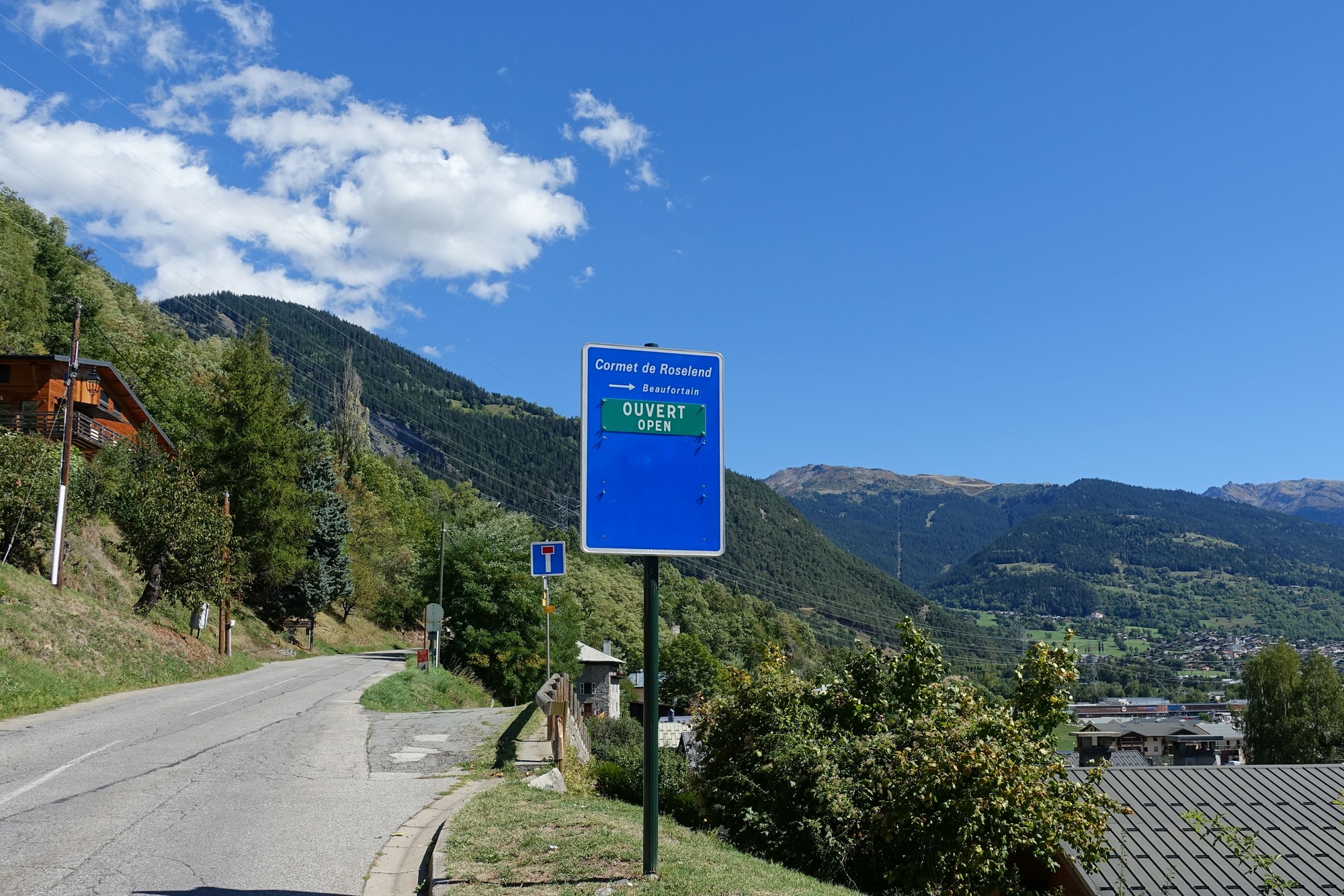
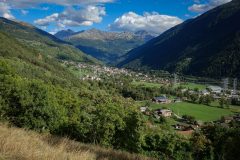
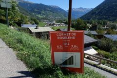
The road climbs up and away from Bourg-Saint-Maurice.
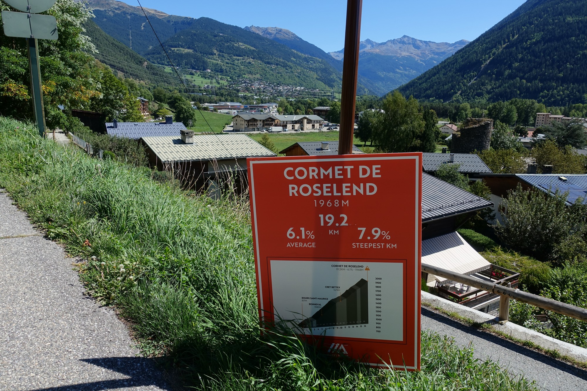
Reports I had read said that the first section of the climb is 'boring' and in the forest. So I was looking forward to some shade. But it wasn't that sort of forest and the sun was on me for much of the time.
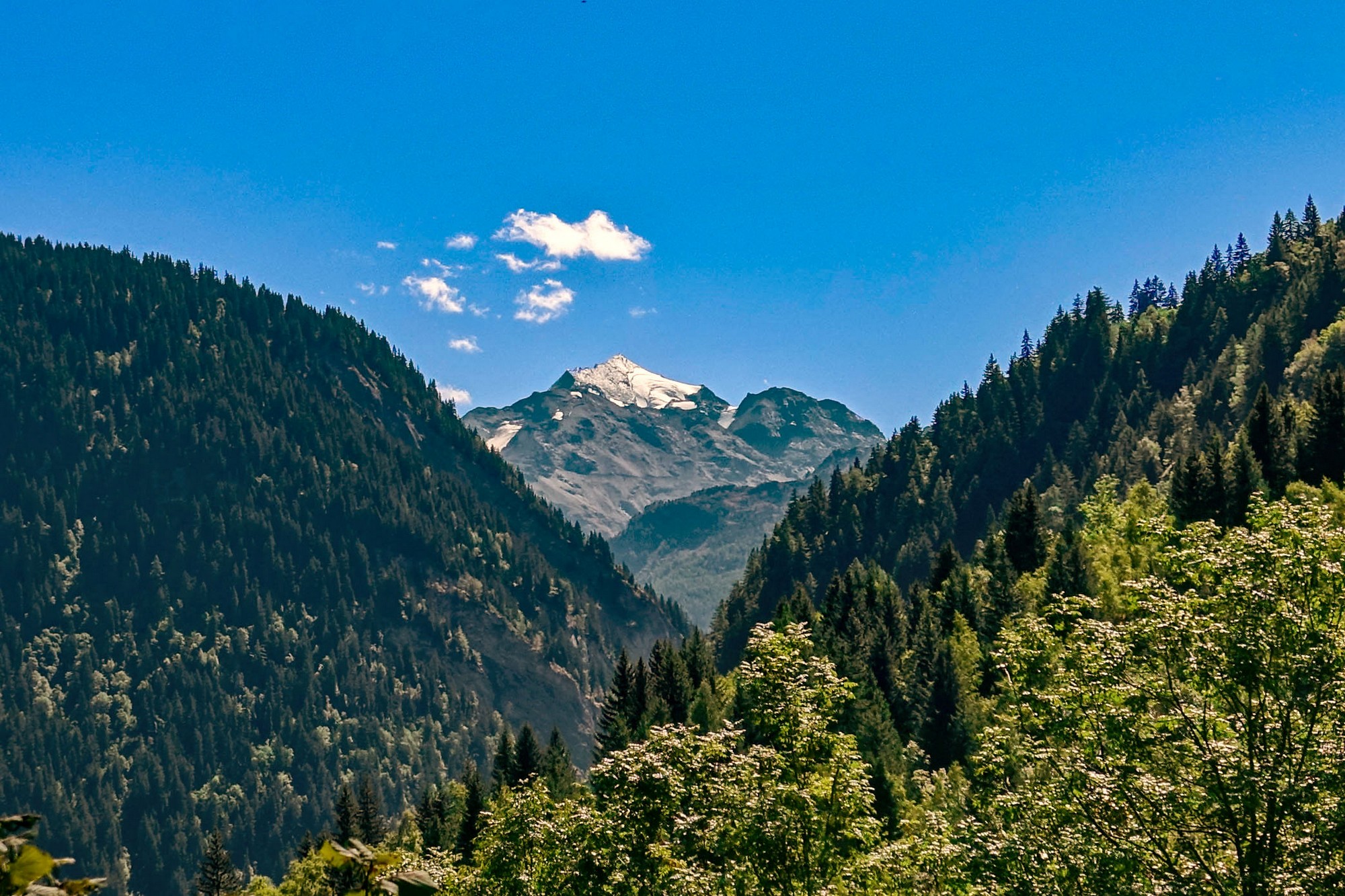
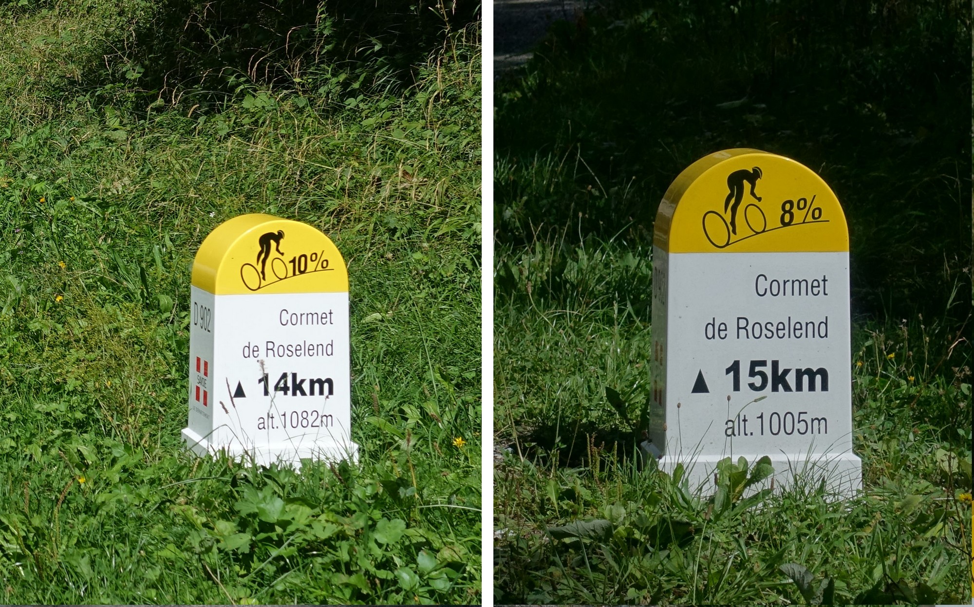
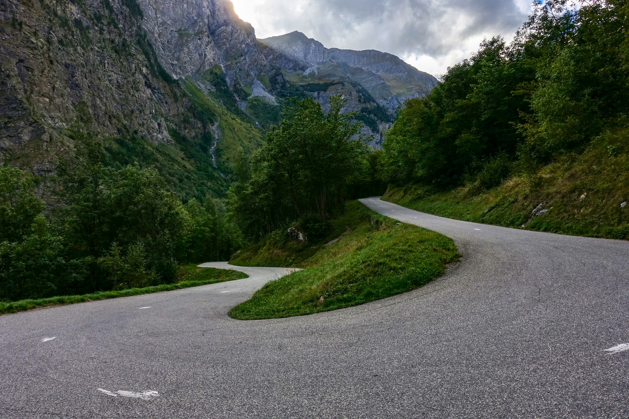
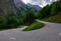
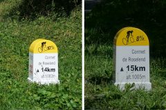
Nevertheless, over an hour goes by without any photos. There's a 4 mile section of nearly 8%, culminating in a section of ten 'lacets'. But I was taking it steady and feeling good, trying to stay out of first gear as much as possible.
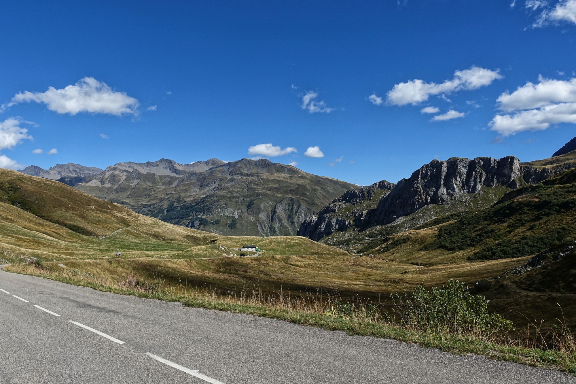
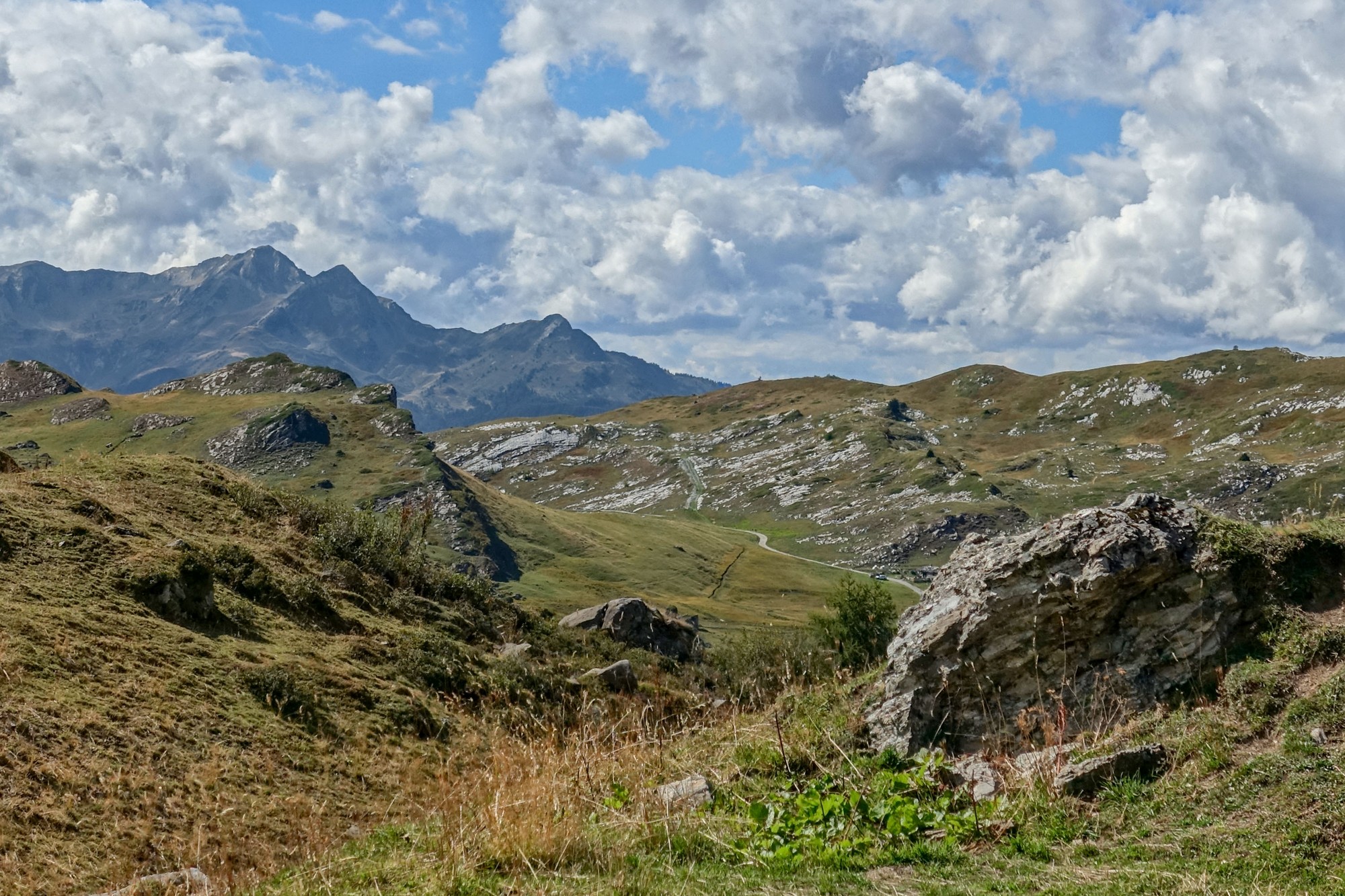
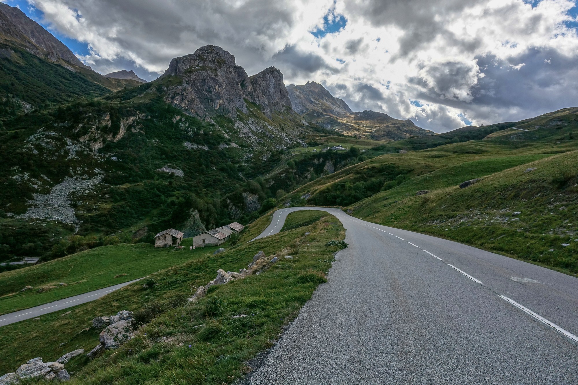
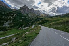
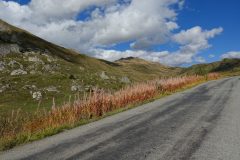
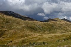
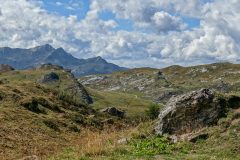
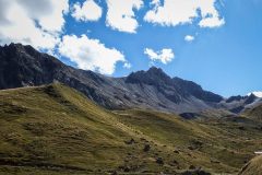
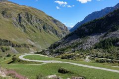
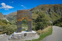
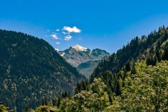
Gradually the landscape opens out, with fewer trees around and naturally more stops for photos.
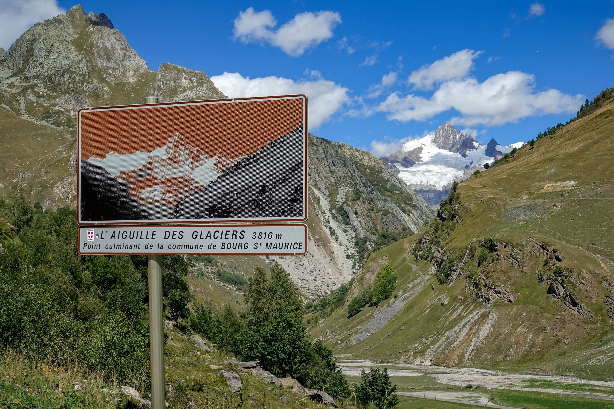
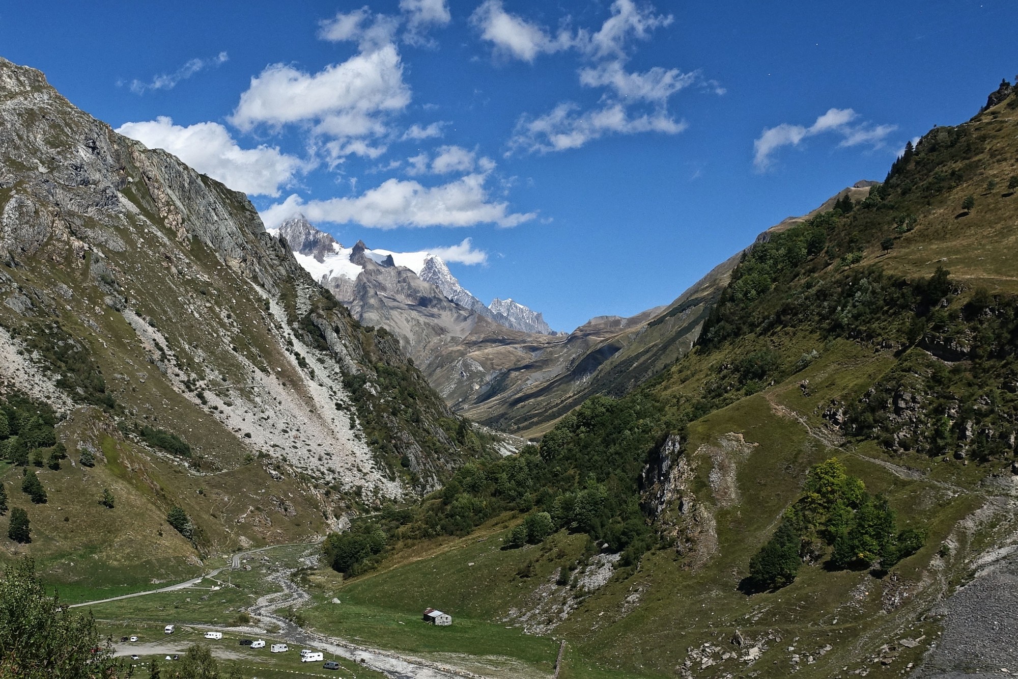
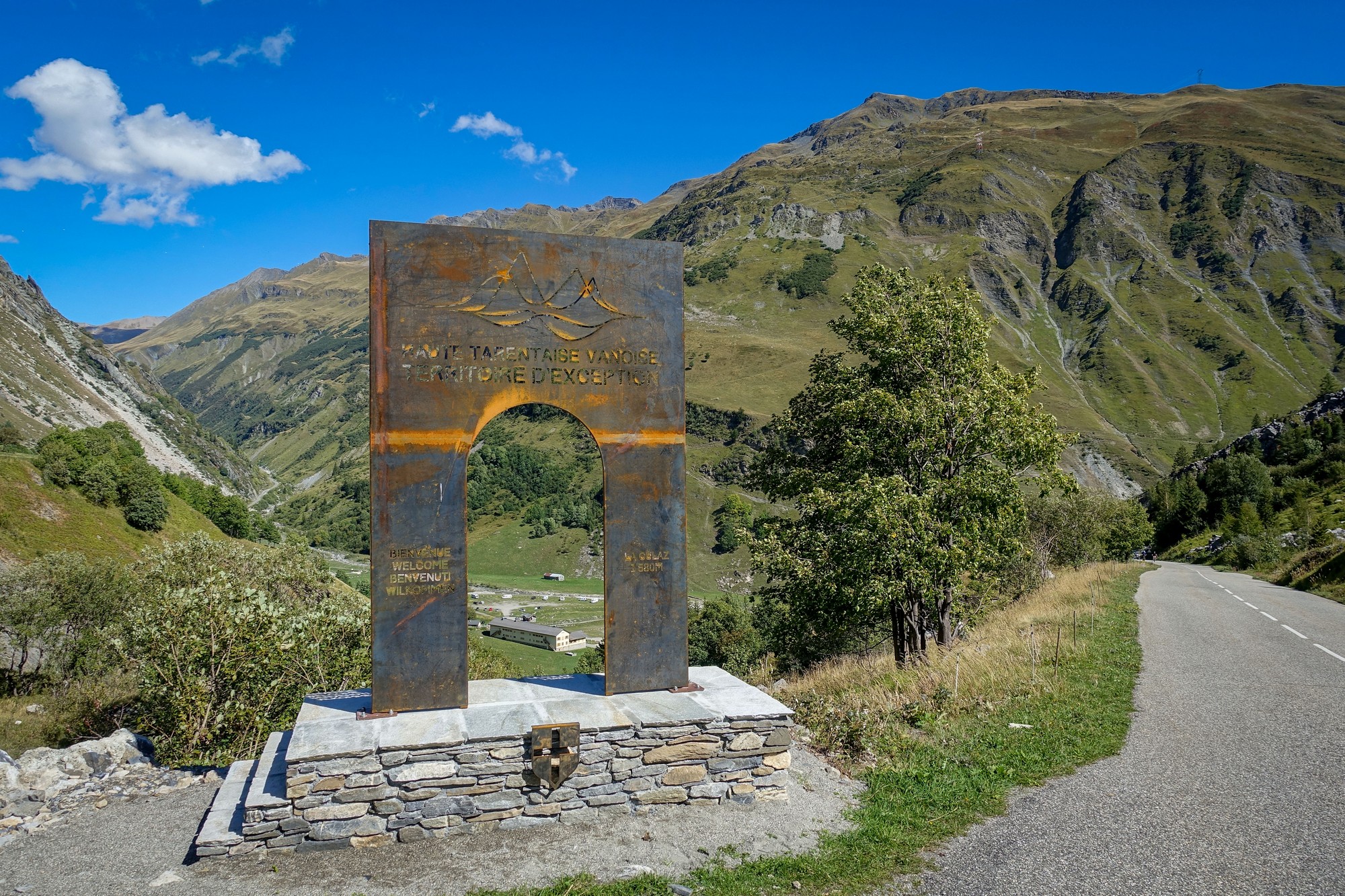
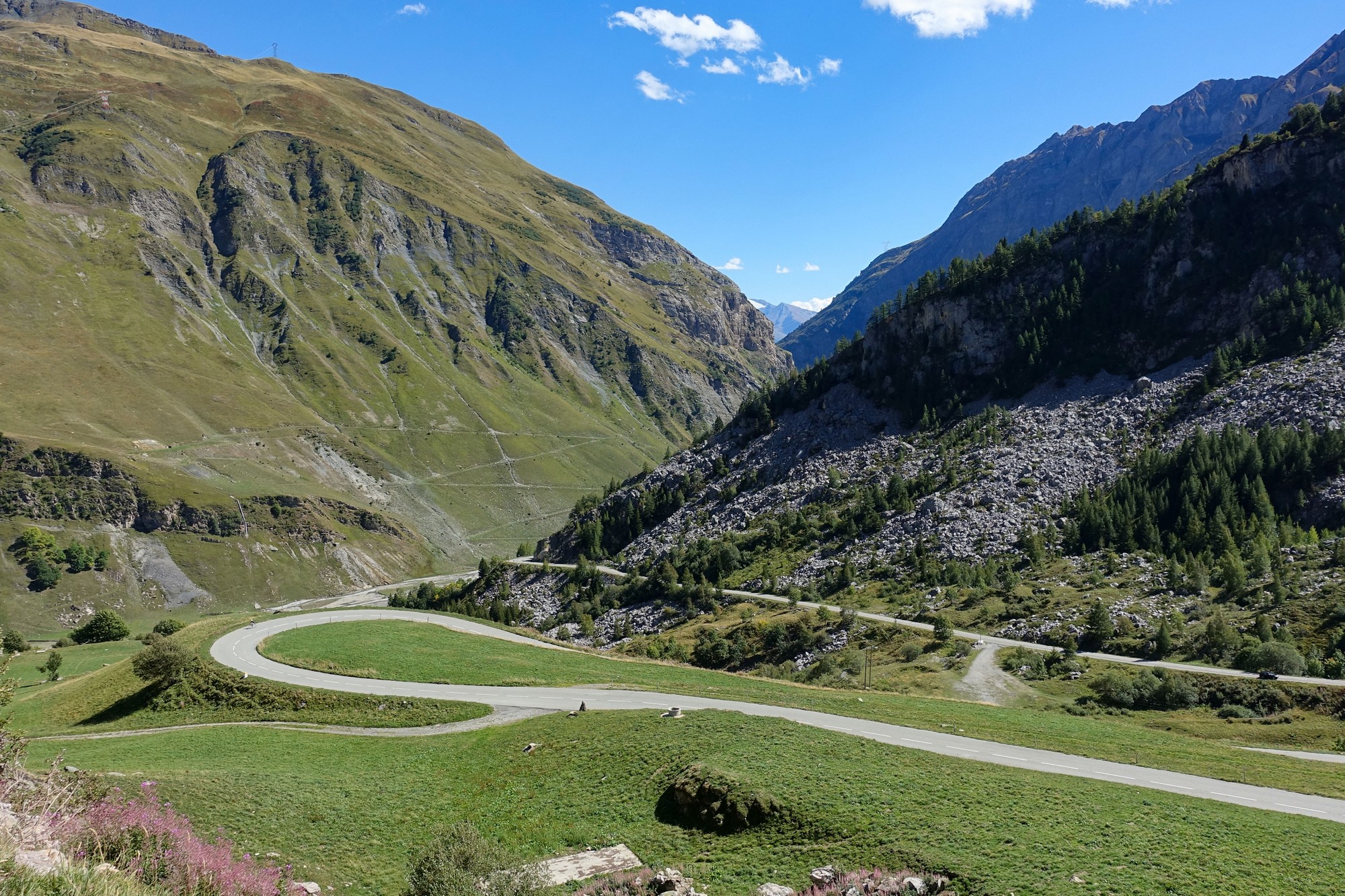
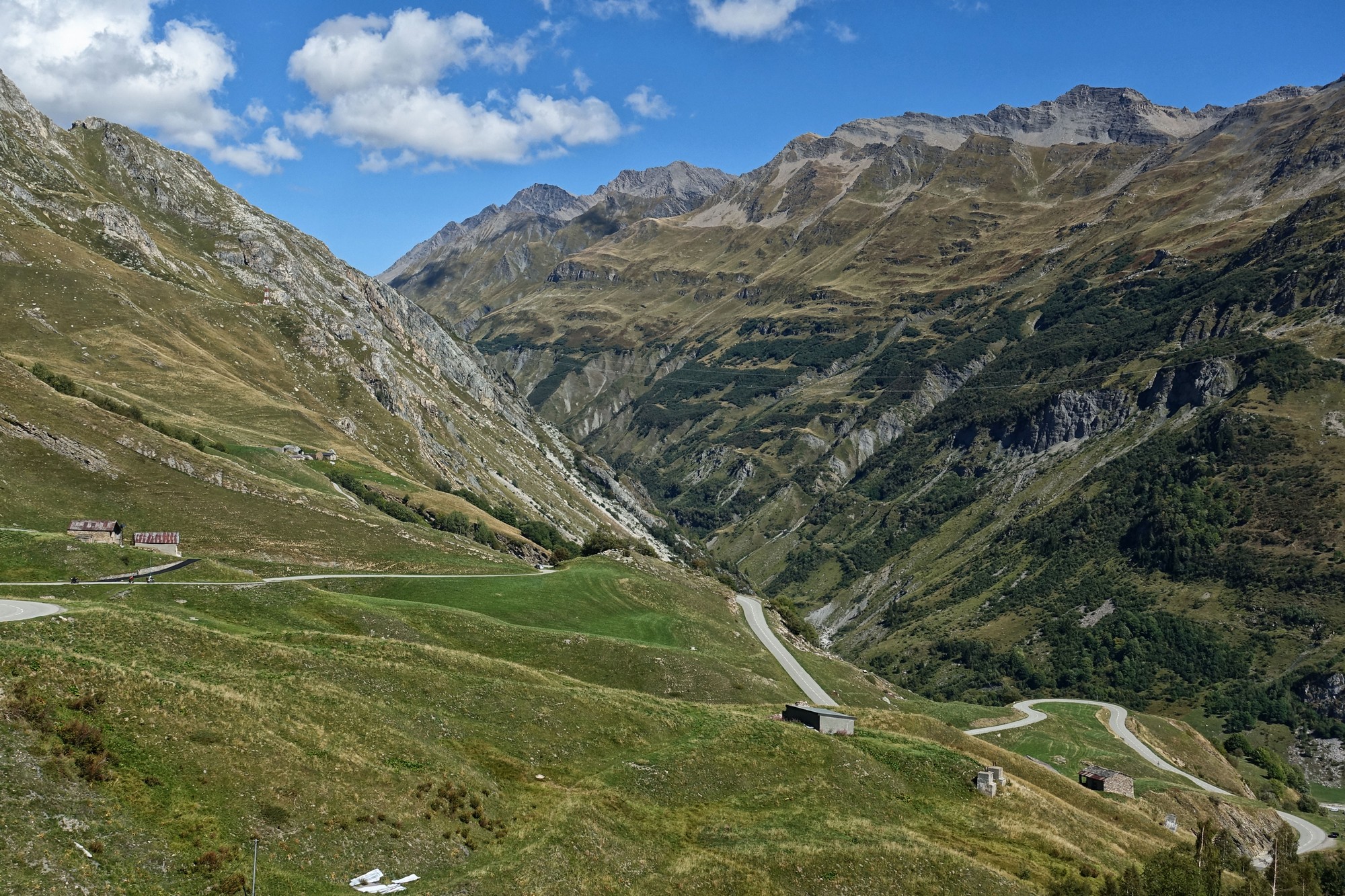
The wind picked up as I neared the pass. Every time I stopped for photos the cold air chilled my sweaty body (especially wet on my back due to the backsack). My arms were cold.
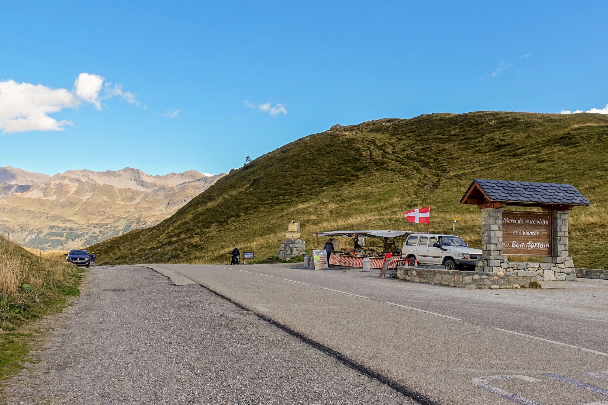
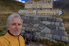
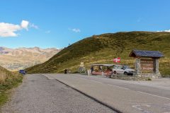
When I reached the top, the col sign was surrounded by selfie-seeking bikers, cyclists and walkers. [It's only drivers who don't seem to want to bag cols.] I decided I'd get my col photo on the way back. During the mile or so before the top I had decided that I would carry on down to the lake. I was feeling OK, and the wind would be behind me on the climb back up from the lake.
So I donned my arm warmers and rain jacket and carried on riding.
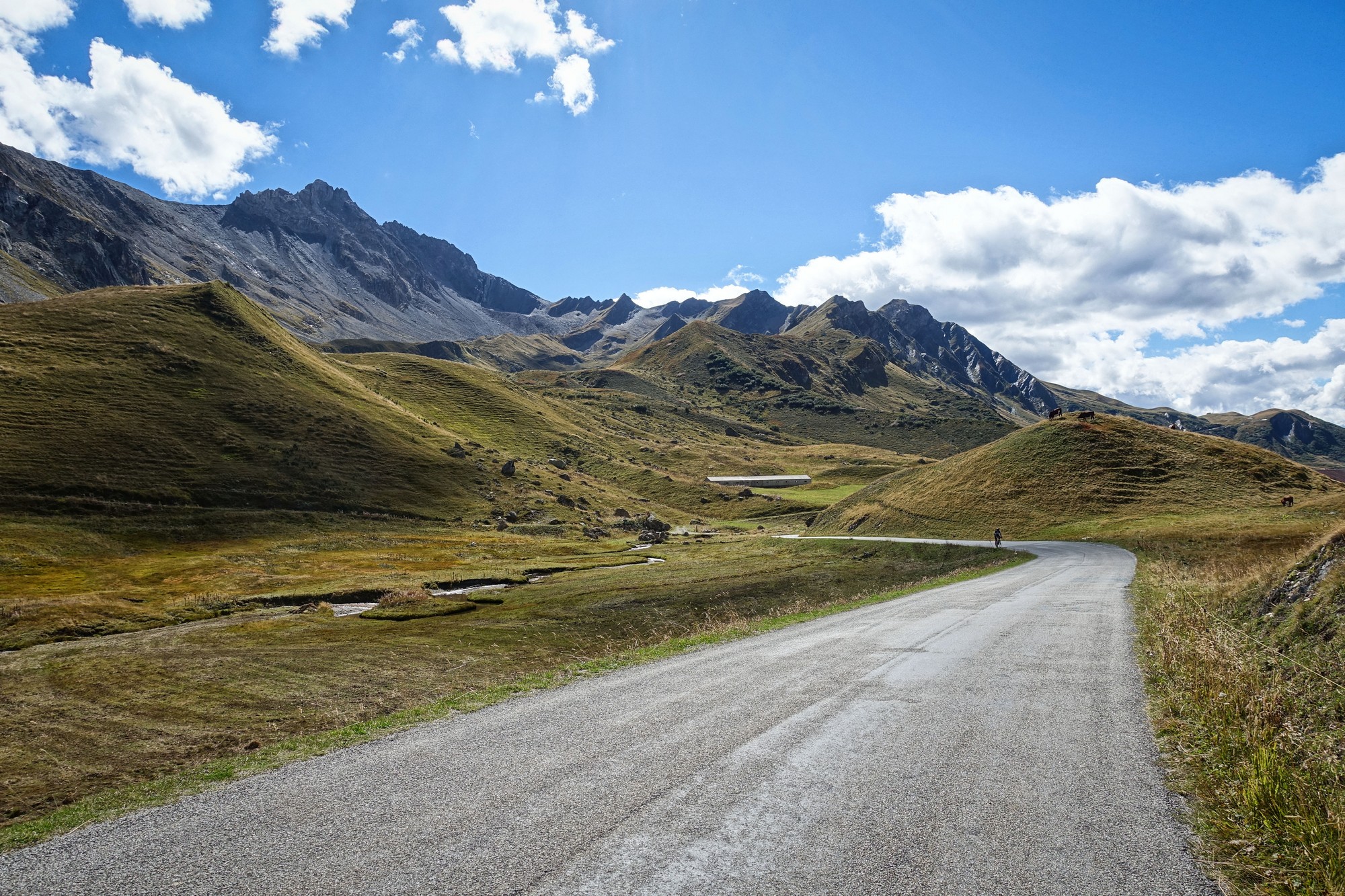
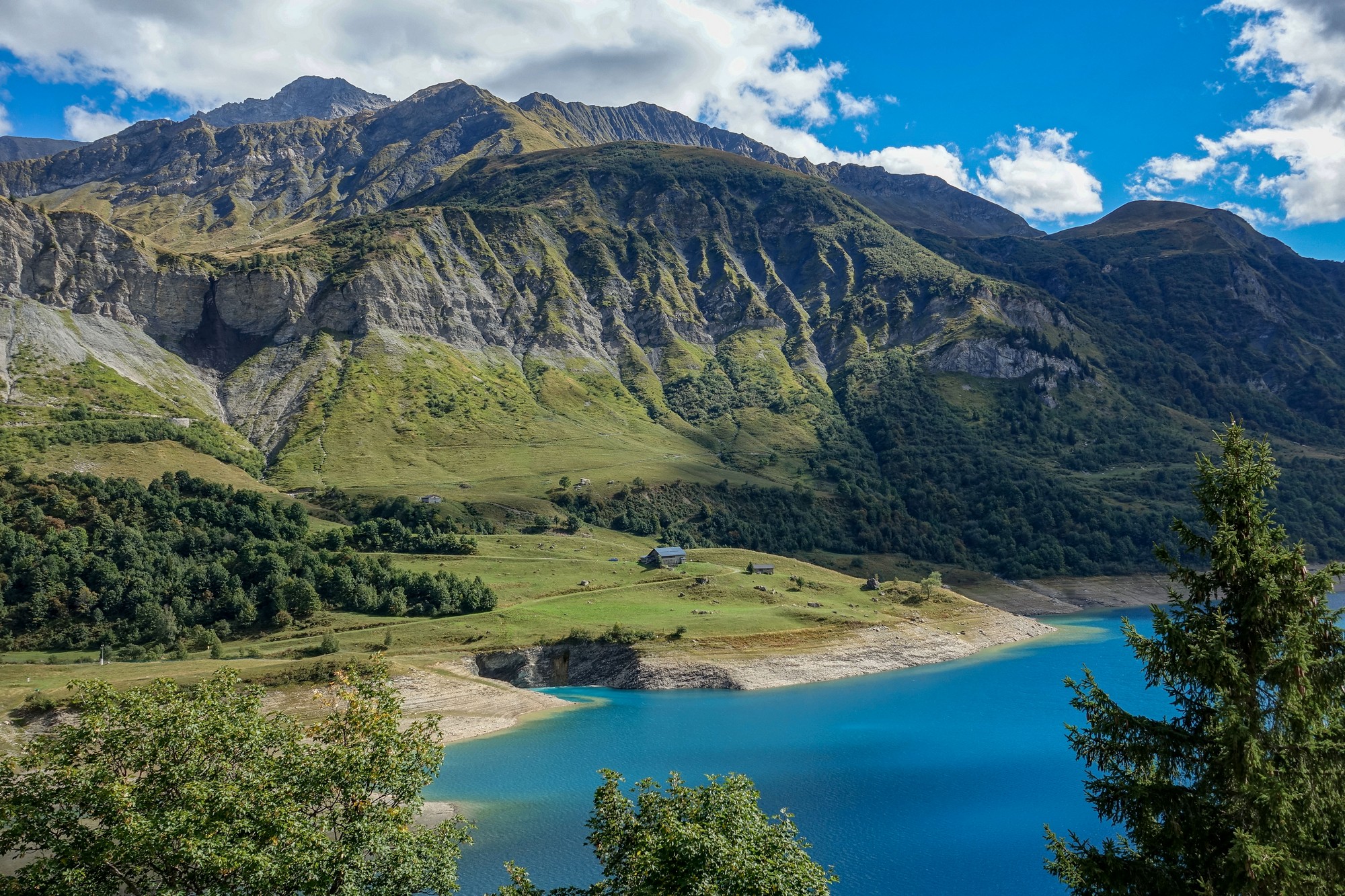
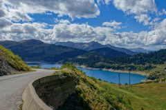
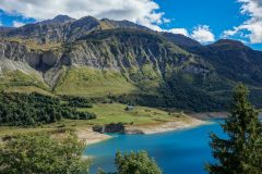
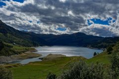
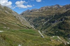
As the road plunged downwards for three and half miles, losing over 1200 ft of hard-won altitude, I thought "what have I done?", as I saw riders slogging their way back up. But then the lake came into view and I knew it would have all been worth it in the end.
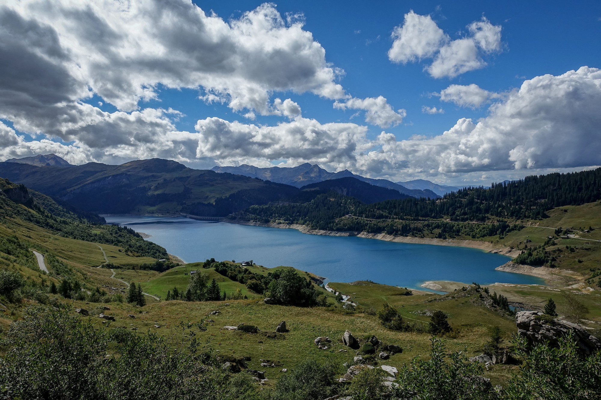
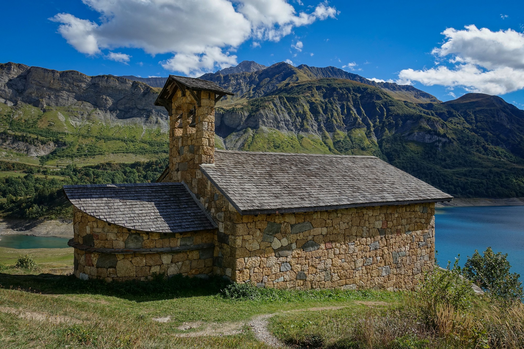
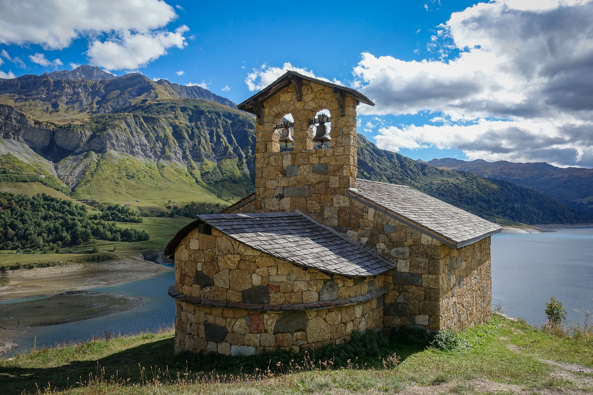
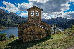
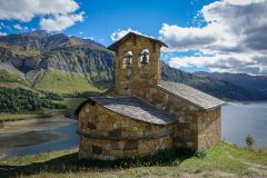
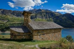
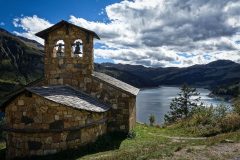
But still the road dropped down, and eventually I spotted the chapel that was my destination.
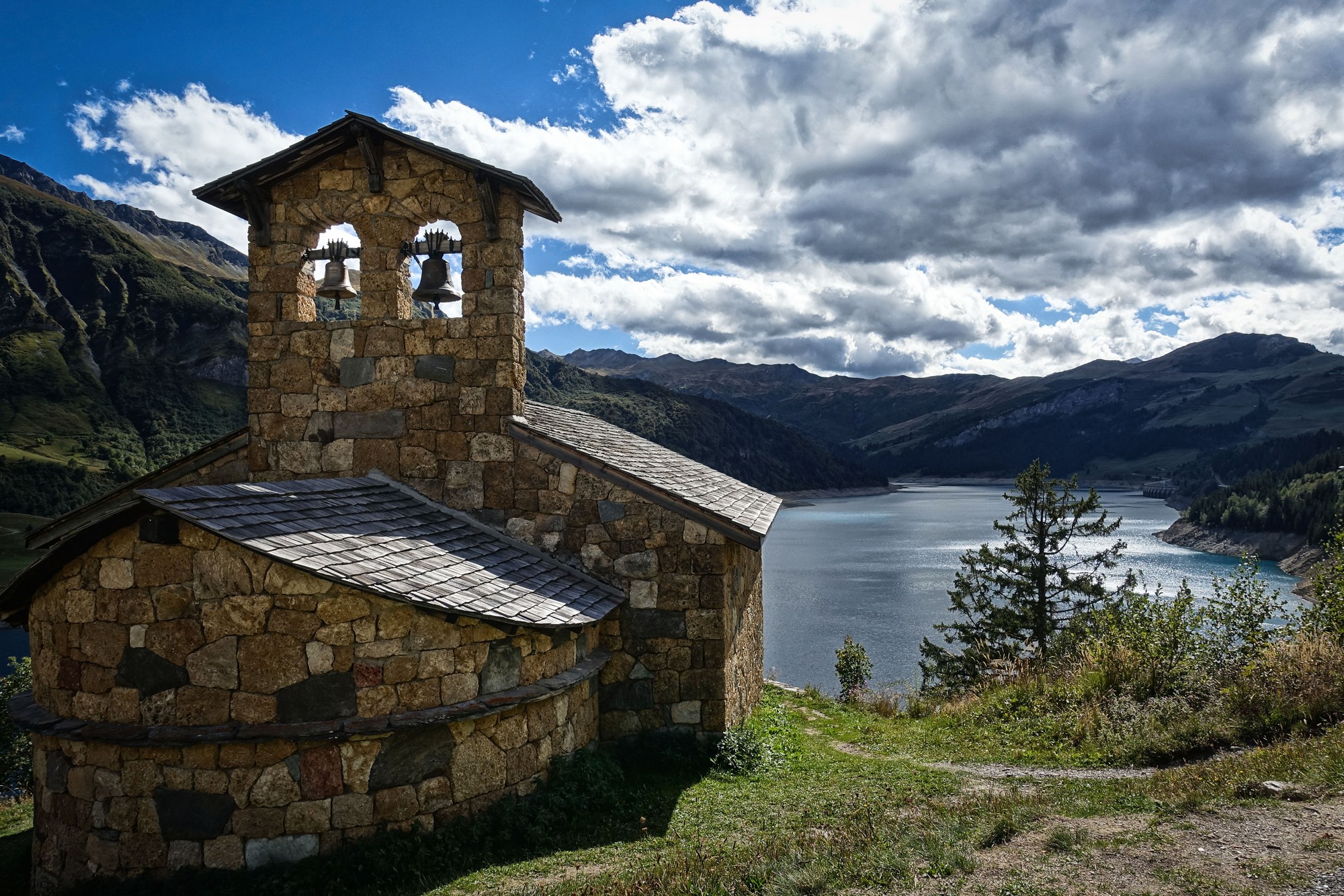
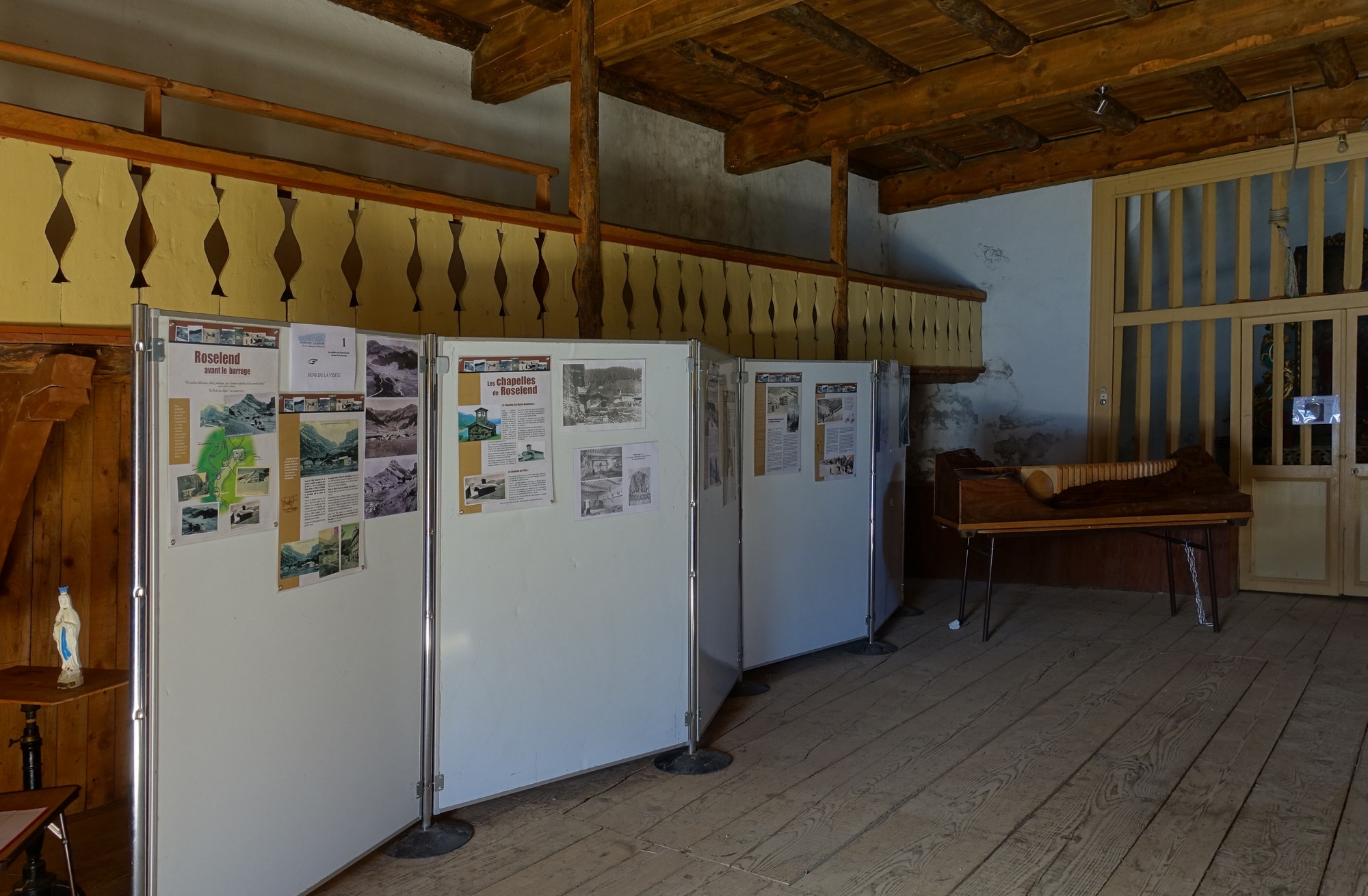
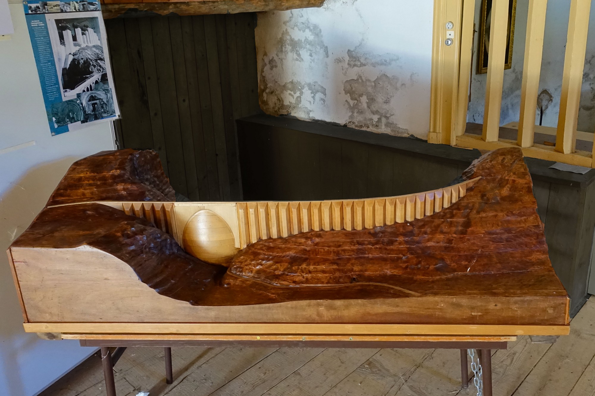
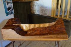
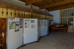
I had a brief chat with a biker who was flying his drone. I clumsily tried to tell him in French how I had recently crashed my drone. After failing to get my message across I hastilty wished him a bonne journée and went to explore the chapel. Inside was lots of info about the area and what looked like a wooden model of the dam at the other end of the lake.
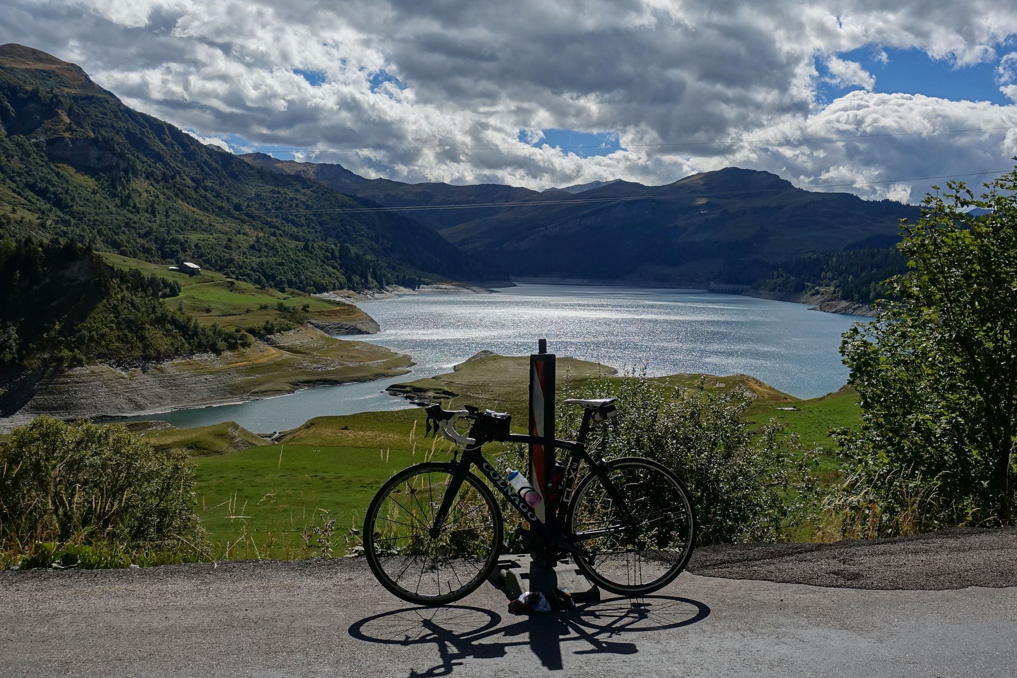
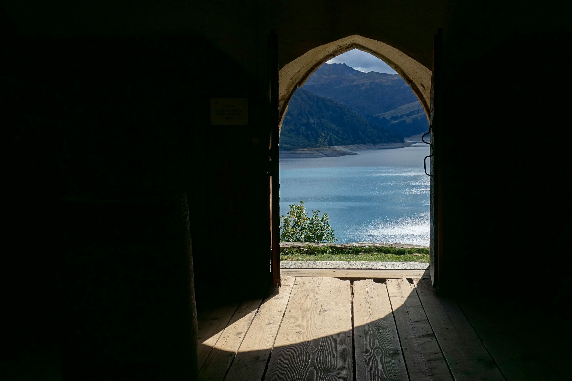
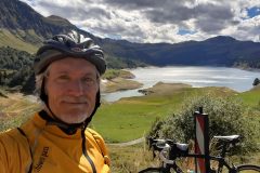
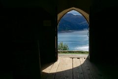
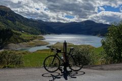
As usual I wish I'd spent more time reading about the lake and the history of the area. I sat on the wall outside the front of the chapel and had my CDM sandwich and half a slice of fruit cake. Coincidentally another cyclist sat at the other end of the wall for his lunch. I glanced over. He seemed to be more prepared, eating something from a bowl and with a flask of drink. This was my view:
Soon it was time for me to start wending my way back up to the Cormet de Roselend.
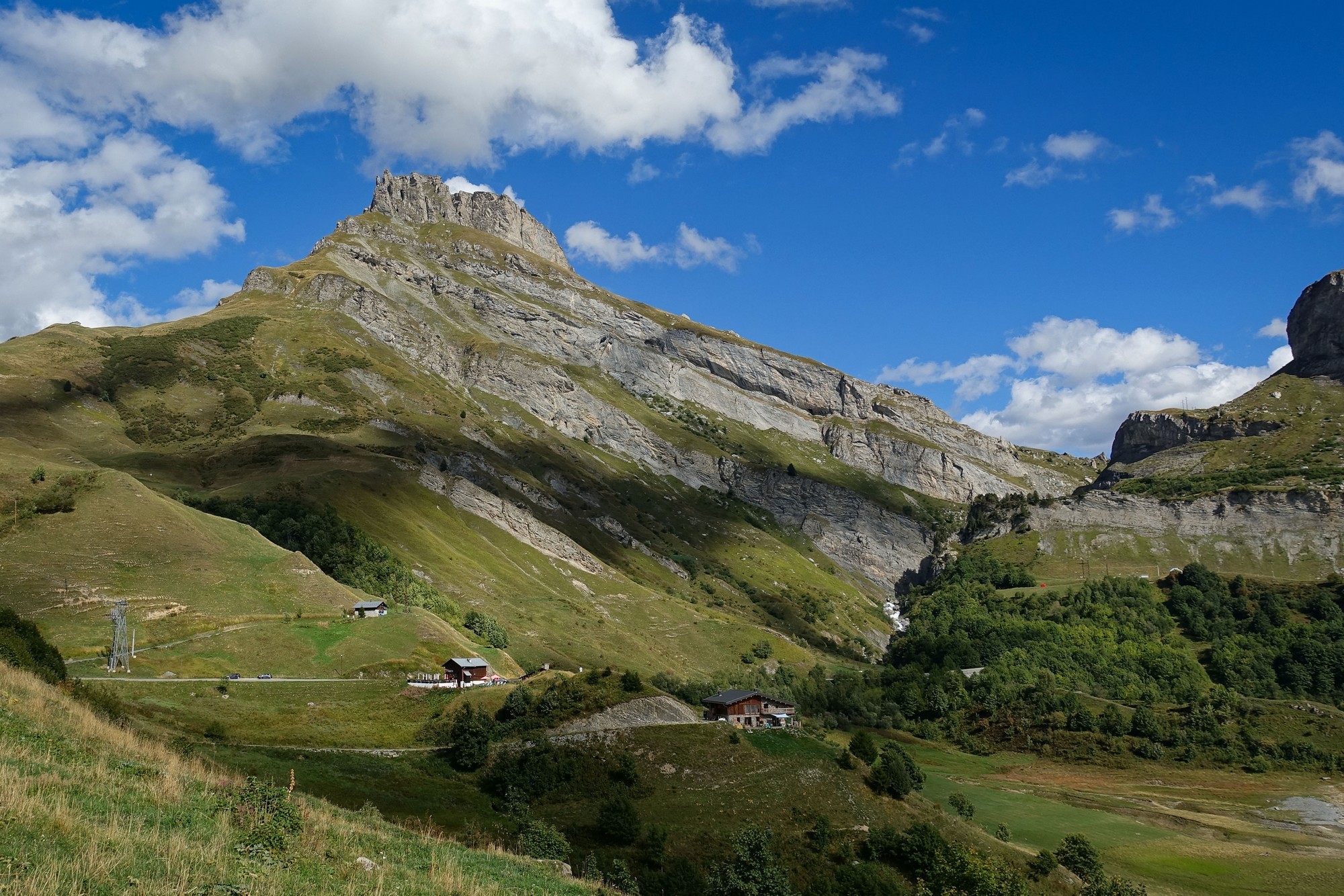
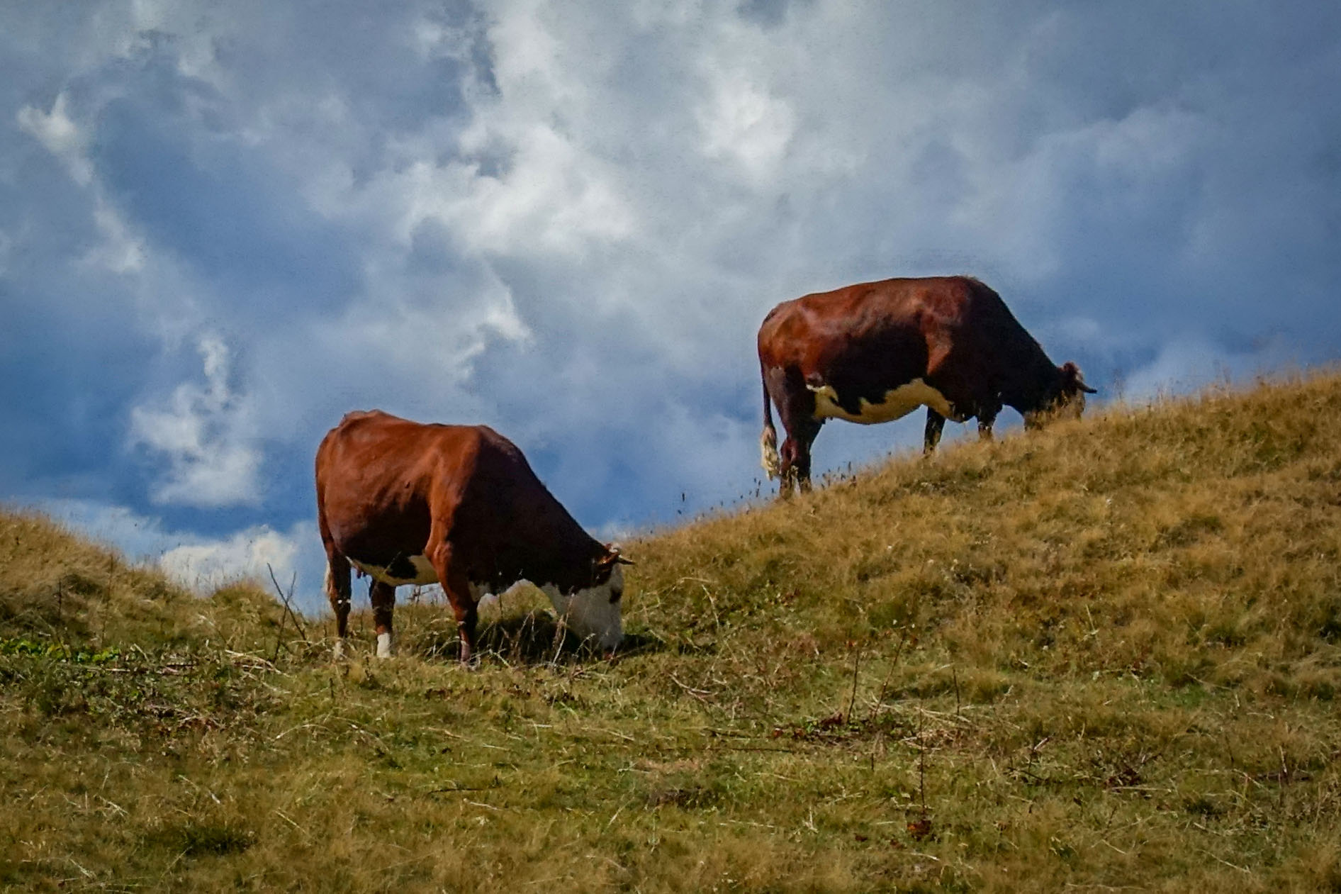
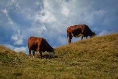
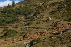
I had been right about the wind - it was behind me for the climb back to the pass. About a mile into that section came the cacophony of cow bells to my left as a herd was being guided home, their course taking them right across the road ahead.
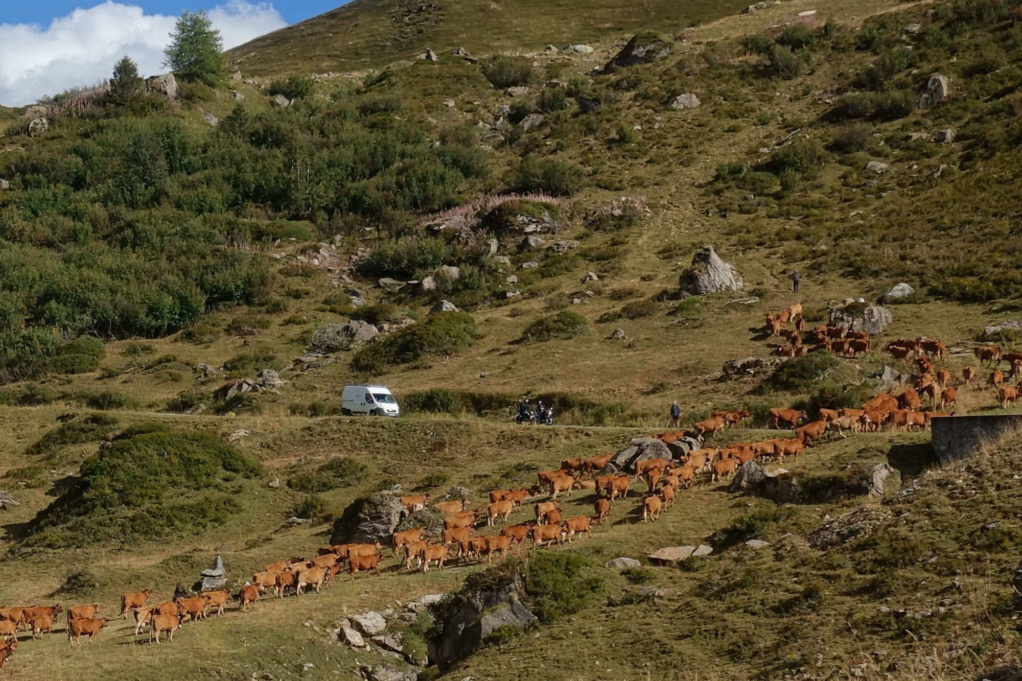
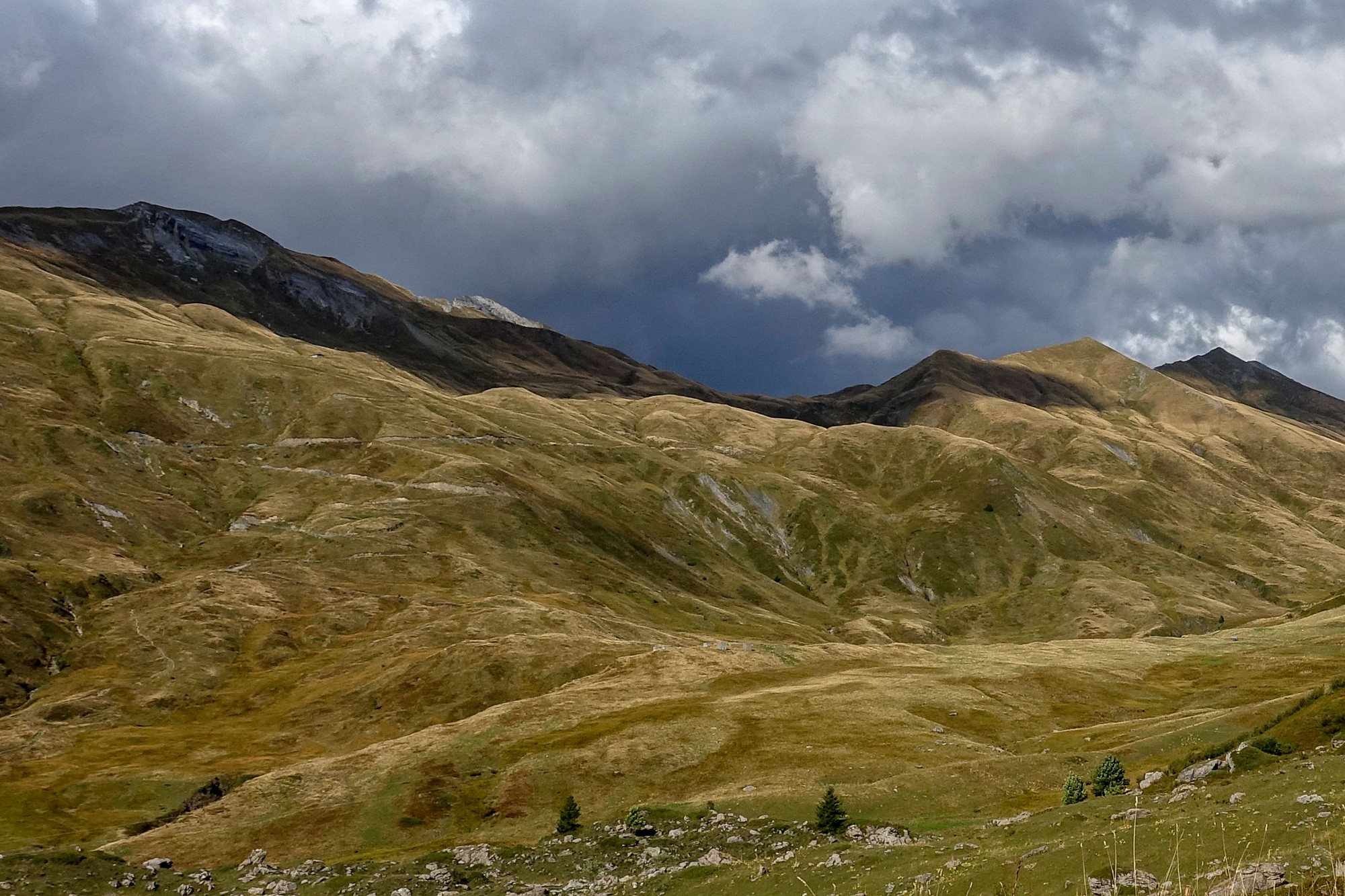
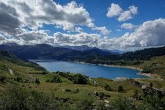
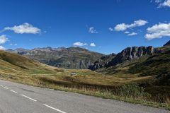
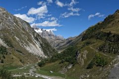
I still had my rain jacket and arm warmers on. I was getting too hot inside so I took them off about halfway up. That's when I could really feel that the cold wind was now behind me. I had an energy gel too. The scenery was spectaular.
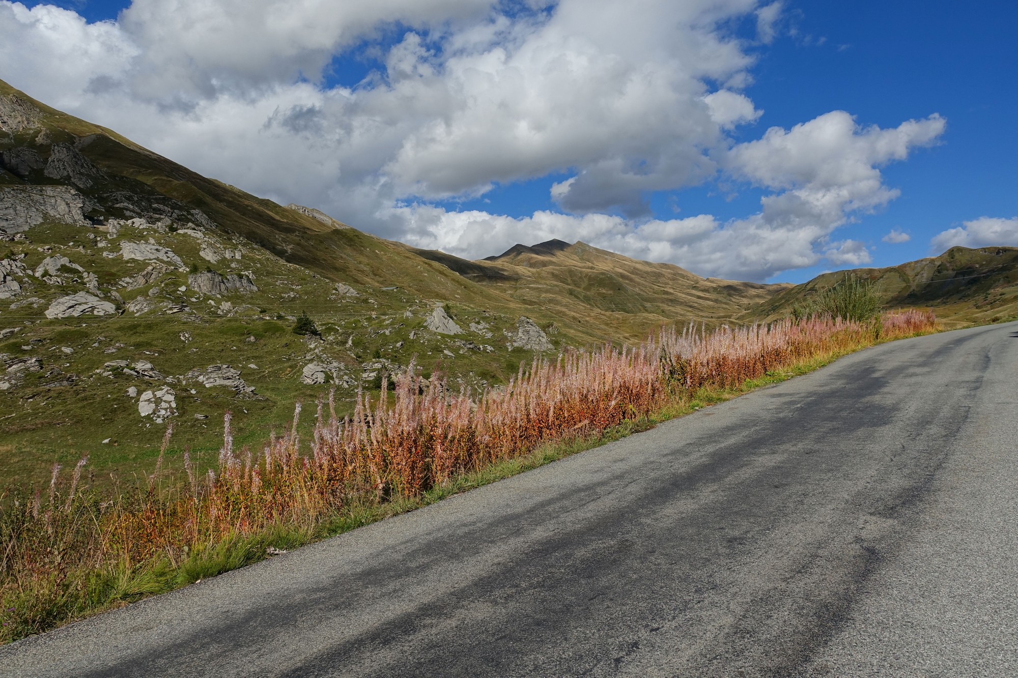
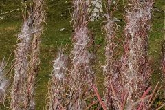
Some sort of interesting plant was lining the edge of the road, wispy bits of which were floating in the wind (wispy bits of the plant, not the road!)
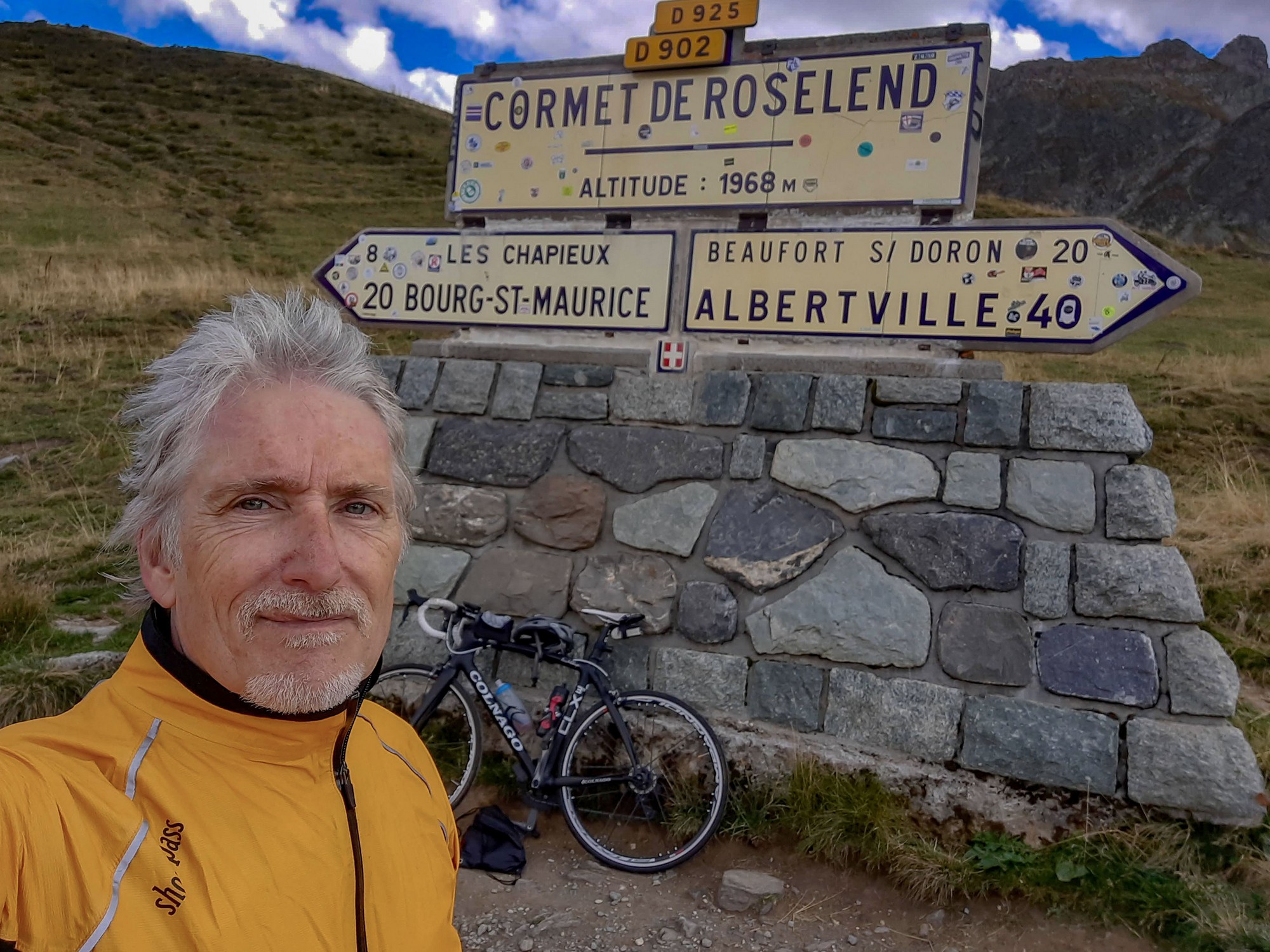
Back at the col I put my jacket and arm warmers back on and got my col photo. There were fewer people there and the food stall was gone.
I enjoyed the descent immensely. The road surface on the top section was excellent but it deteriorated quite a bit towards the bottom. I only stopped for a couple of photos. Once again my new SwissStop brake blocks did a great job.
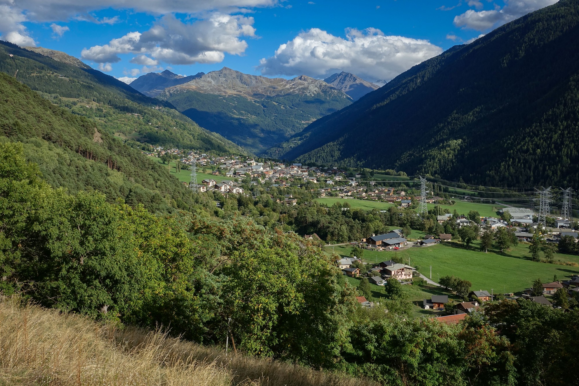
I got back at the end of the ride feeling amazing. That can sometimes happen. I hadn't needed the extra bidon on such a shortish and coolish ride. So I'd taken that and my backsack up there for nothing!
Further Info
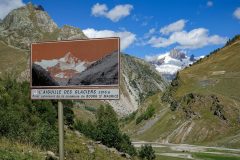
- Aiguille des Glaciers
- Roselend Dam
- Cormet de Roselend (wikipedia, with TdeF data)
Gallery
Click to enlarge / see slideshow


