Distance: 145 miles. Elevation: 7653 ft
This is the fourth time that me and Al have done this event. Same as last year (not blogged yet!) I wanted to avoid getting trains or coaches back so I stayed in my motorhome on a site in the Blackdown Hills for the weekend. While this was convenient for riding back after the event, it meant that riding to the start in Bath would be a big challenge that I decided not to accept, choosing instead to ‘cheat’ by riding to Cheddar and starting the exodus from there.
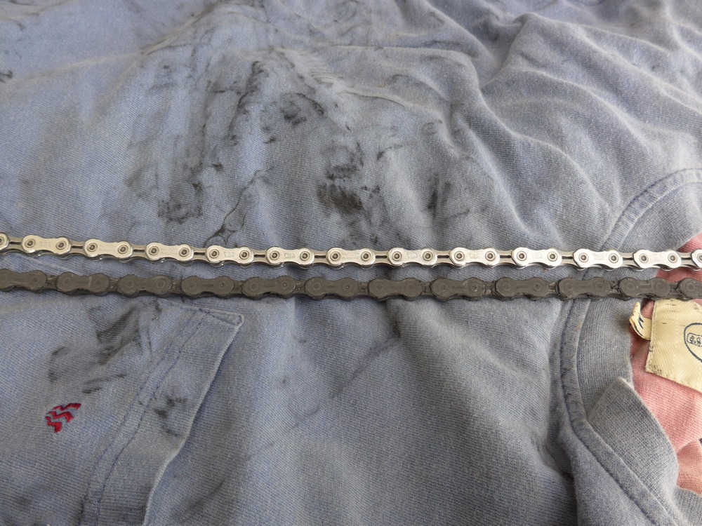
I made a (stupid, ultimately) decision to fit a new chain at 5pm that afternoon. My old chain was quite a bit longer than the new one (when counting links) indicating it was very worn. The new one went on without a hitch.
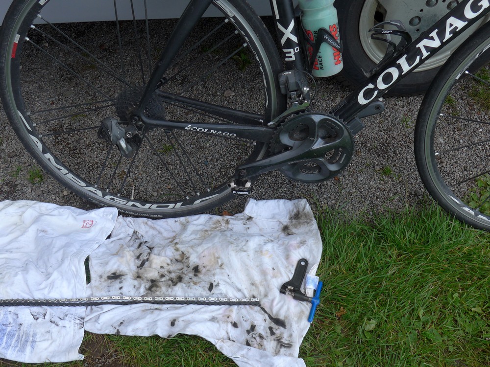
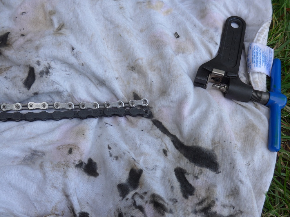
The weather forecast was for a dry night with rain arriving by 8am the next morning, meaning my ride home could be affected. And it would be cold, 7°C! That’s 30°C cooler than a ride I did just 4 weeks ago. 30°C difference!! What a joke! A ray of hope was that there promised to be a southerly wind by the morning, to blow me home.
Based on the forecast I wore longs with a long-sleeved baselayer, a normal cycling jersey and a heavy Winter jacket, and a cap under my helmet. I set off at 8pm. There wasn’t much light left in the sky. I had arranged to meet Al at Cheddar at 11:30pm.
Two miles into the ride the road dipped and climbed again. I got out of the saddle and … disaster! The chain kept slipping/jumping as I put effort into getting up the short climb. Damn! It was obviously connected with the new chain I fitted this afternoon. The thought of a 145-mile ride with the chain slipping was worrying to say the least! I’ve changed chains loads of time in the past without any issues whatsoever. For the next few miles I was testing different gears and trying to work out what was causing it. It seemed to be affecting 2nd, 3rd, 4th on the small ring. First gear was OK so I’d be able to tackle steep climbs, and gears using the big front ring seemed OK.
The first fifteen miles, nearly an hour, were spent on the very straight and flat roads across the top of the Blackdown Hills. It always surprises me that there can be such a long flat road across the top of a range of hills. It feels more like a plateau.
As I dropped down off the Blackdown Hills my route crossed the return route. I wasn’t sure which way I should turn. Usually I make a mental note before I start a ride but I had forgotten to do that this time. That’s when the problems with the Garmin started! I zoomed out the Garmin display to try to show the whole route. The Garmin was very slow to draw the map on the screen. Eventually I worked out which way was correct, but for the next twelve miles the Garmin had trouble drawing the map. At virtually every change of direction I had to stop and try to wait for the Garmin to tell me which way to go. Also the map was not updating itself as I rode along. It kept freezing. Then it kept switching itself off every so often. So I had to keep stopping and restarting it. It was obviously really screwed-up. The problem seemed to occur every time I put the display light on (so I could see it in the dark), so for the next few miles I took one of my front lights off the bike and was holding it in my right hand as I rode along so that I could shine it on the Garmin to read it. This had the advantage that I could also point the torch anywhere on the road ahead and also at road name signs to see where I was. The disadvantage is that I couldn’t operate my front brake! But there was hardly any traffic so that didn’t matter so much. With all the stopping I was worried that I would be late getting to Cheddar to meet Al. When the Garmin turned itself off for probably the tenth time, I thought “this is getting really stupid”. I decided to try reloading the course to see if that would help. Unfortunately this meant that I would end up with two rides recorded – one for the 27 miles I’d already done and another one starting from that point onward. So my mileage was zeroed! For the rest of the ride I was mentally adding on 27 miles to my mileage to get the overall figure. I hoped that I’d be able to somehow join the two files together when I got back, so that I could upload the whole thing to Strava as one ride.
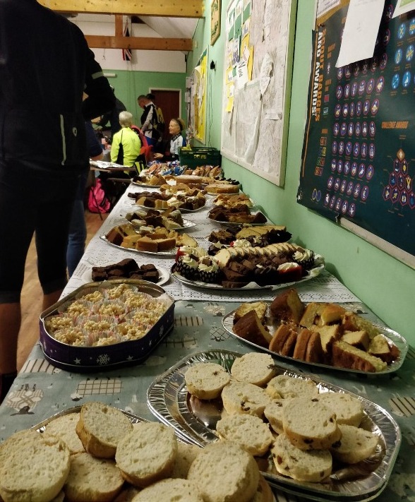
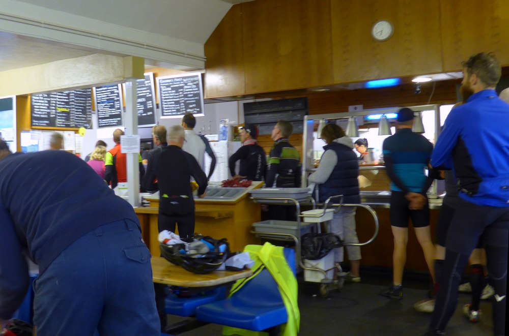
The good news was that the Garmin was OK for the rest of the ride. Obviously I kept checking it, half-expecting it to have screwed-up again. But it was back to its old self. The rest of the ride to Cheddar went smoothly, and I reached the food stop there at 11:20 pm.Twenty or so riders were already there, but no sign of Al. I grabbed a coffee and two pieces of cake from the amazing display of cakeage!
Al turned up about 11:30, on schedule. Apparently he had been riding with some really fast riders. Al had also had a stressful start to this adventure by virtue of a frantic multiple-train journey!
Compared to our fraught starts there is nothing much to report for the ride to Exmouth. It stayed dry through the night. It was uncomfortably cold. Particularly I seem to get a problem whereby the area on my back between the shoulder blades gets cold and achy – really uncomfortable. Me and Al didn’t blitz it but we did set a decent pace and not many riders came past us. It was 30 fairly flat miles across the Somerset Levels to the main food stop of the night at Neroche Parish Hall, a lovely old hall which seemed to be in the middle of nowhere. I had a lovely three-bean chilli (yes, for those that know me, you did read that right!), a jacket potato and a coffee. Delicious. Much of the talk among the riders was connected with the weather. We knew rain was coming but we didn’t know whether it would be before we reached Exmouth.
There had been a couple of climbs before the food stop, notably the one to High Ham (the clue is in the name), and they had enabled me to assess the state of my drive-chain. I discovered that 1st gear was OK, so any steep hills should be OK. Other than that I could use all the gears on the big ring without the chain slipping. That meant I used the big ring for everything except steep climbs. I even used big-ring at front and big cog at back. This is called cross-chaining or something like that and it puts quite a bit of wear on the chain and is not recommended, but I didn’t have much choice. Other than all that the gears would often miss when I changed gear. So I was making quite a racket much of the time clattering through different gears. Not ideal, but workable.
We left the hall and got back on our bikes. It was really cold. In fact I was pleased that the biggest climb of the night was just two miles up the road, to warm us up. As we were climbing it Al and I commented on how similar it was to last year’s Blackdown Hills ascent. Later we discovered it was the same as last year! And that was good because last year I remember struggling with it but this time it was OK. In fact I did it two minutes quicker.
Then it was 12 miles of the flat road across the top of the Blackdowns, mainly the same road I had already used on my way to Cheddar, then down Combe View, (the same road I’d used just a day before) into Honiton. Then through the attractive town of Ottery St Mary.
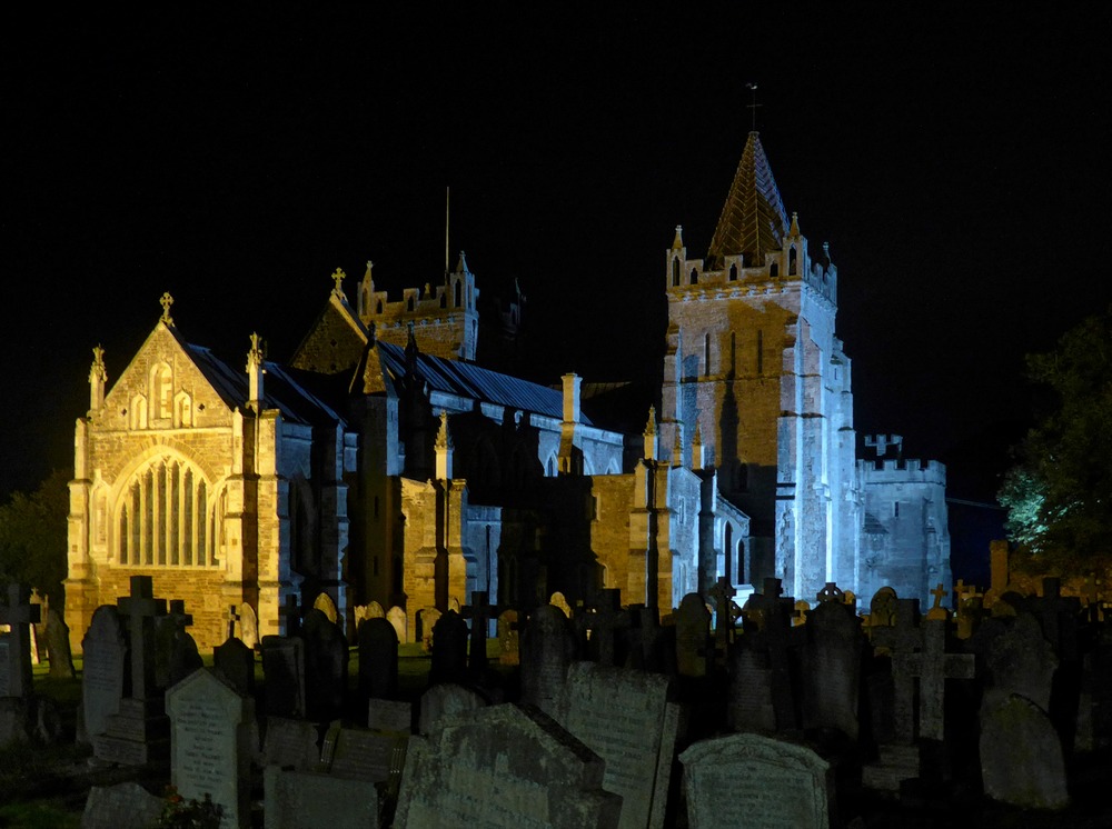
For the next seven miles we followed the route of the River Otter, through Tipton St. John to Otterton where we crossed over the river and started the long climb past East Budleigh Common. Even though we’ve done this climb several times before, we always seem to forget how tough it is, coming so near to the end of the ride. Eventually we emerged at the top somewhere on the outskirts of Exmouth and then it’s downhill all the way to the café, almost three miles of welcome descent. Over the previous few miles the wind had picked up quite a bit and I was pleased to notice that it was a southerly, which would help with my ride back.
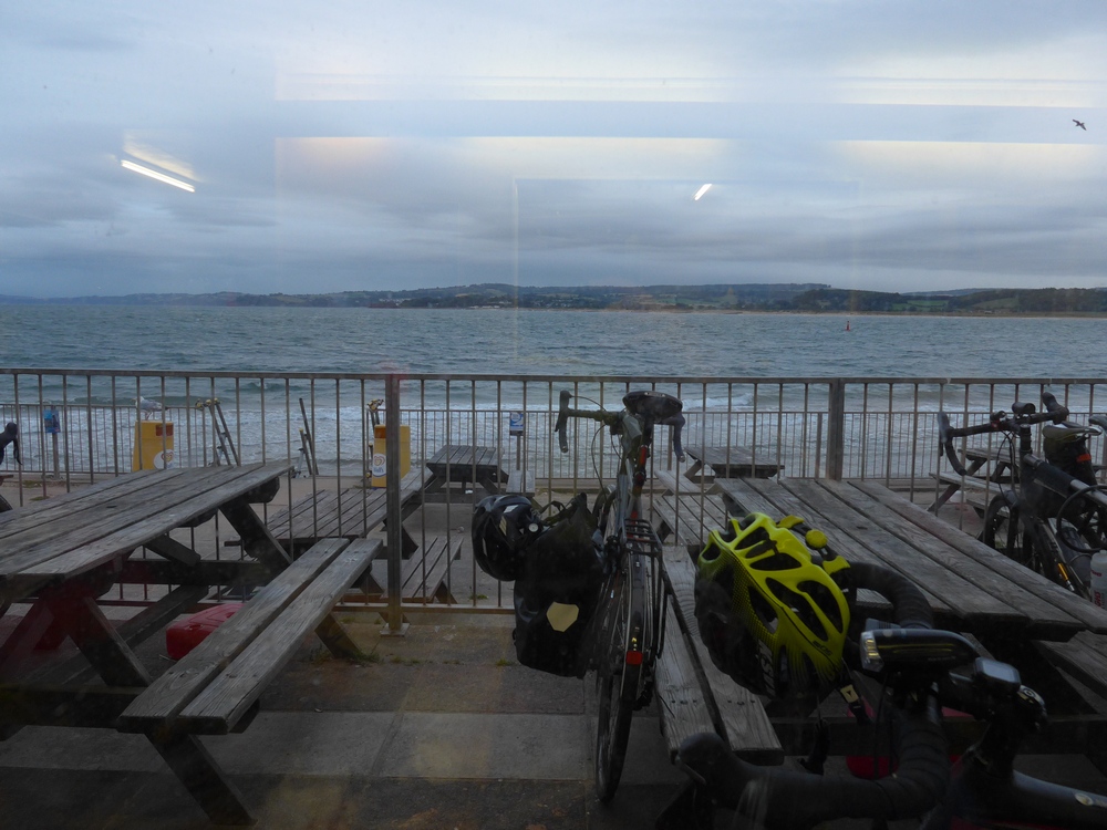
We reached the café at 6am on the dot. We were among the first 10 or so riders to arrive.
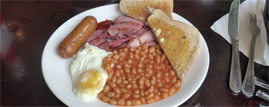
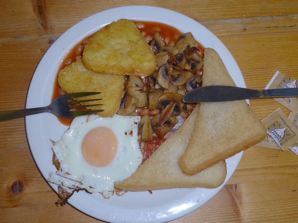
I had a full-English-breakfast, but wished I hadn’t. There was nothing at all wrong with the food; it tasted nice. But there was something wrong with me. I wasn’t feeling 100%.
My stomach wasn’t feeling good. Maybe the stress of the ride, added to yesterday’s ride. So the FEB did not go down at all well, and I definitely didn’t fancy the 27-mile ride back. Maybe if the weather had been nicer I might have chosen to rest for a while before continuing, but with the rain imminent I felt the need to push on.
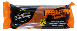
We left the café at ten past seven. There was fine rain in the air. Al kindly donated a chocolate caramel flapjack bar to a worthy cause, namely my ride home! I bid adieu to Al as I set off on the final leg of the ride. The only thing I could do was to just keep turning the pedals and count off the miles. There wasn’t a single mile I didn’t count. I had to subtract my mileage from 117 to get the number of miles left. It started with 27 miles left, then my mileage went to 91 so it was 26 miles left. Etc. All the time I was feeling rough. I felt a bit sick and at one point I considered forcing myself to be sick. I kept cursing the FEB. I thought of how unhealthy it was and I just wanted it out of my body! I was blaming it for how I felt. I just kept pushing the pedals. Several miles of drizzly rain went by and I wasn’t too bothered. Then it got heavier and was splashing under my bike getting my feet wet.
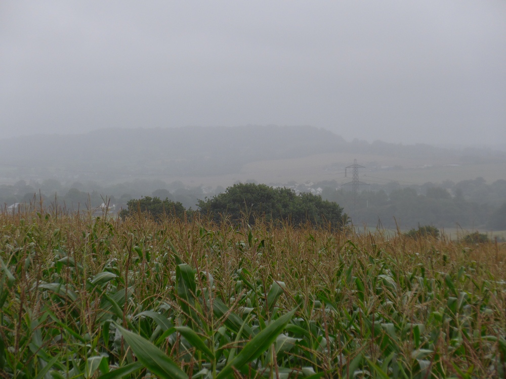
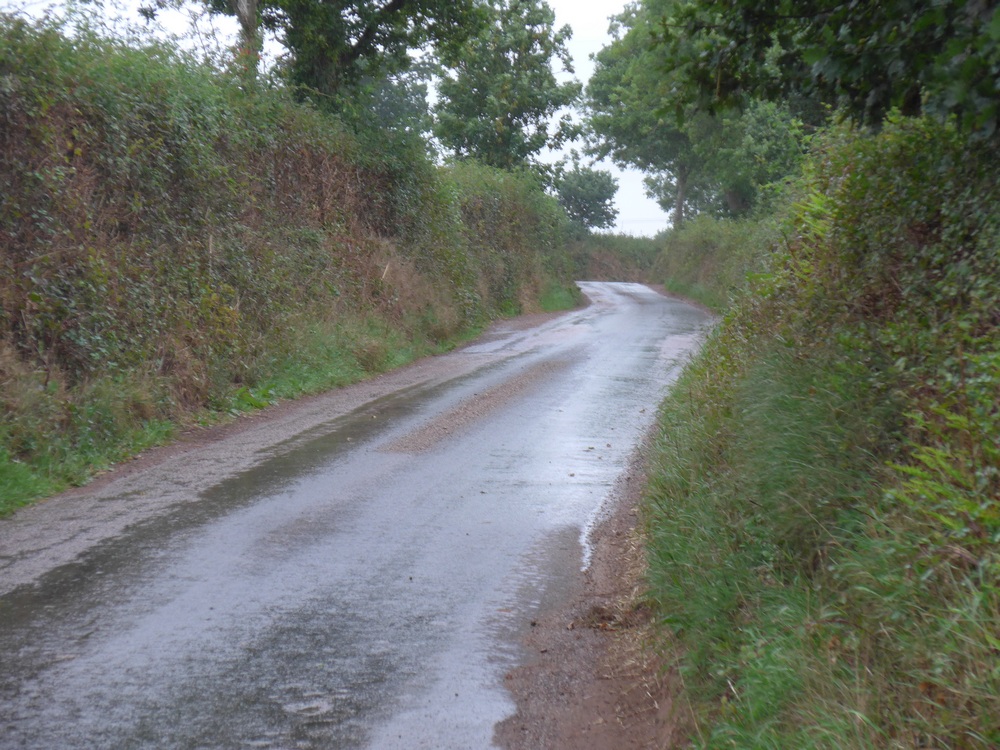
Still I slowly counted off the miles. Most of those 27 miles were a gradual climb to the base of the Blackdown Hills. Somewhere around ten miles to go I realised that I wasn’t feeling as bad. It also dawned on me that however bad I had been feeling and however steep the hills, my legs did not ache or feel any pain at all. They seemed to just manage to keep on going. The very good news about the whole of that ride back was that the southerly wind was essentially behind me and helping me along.
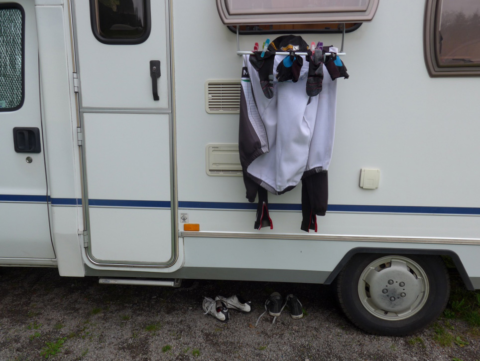
Eventually, with three miles to go, I reached Blackborough Hill, the final climb up the Blackdown Hills. I had deliberately chosen a long way round in order to have an easier ascent. With me and the bike soaking wet and covered in mud, I slogged up it in 1st gear, knowing I was almost there. When I got back to my motorhome I put the bike inside, covered in dirt, got all my soaking wet kit off and got into my sleeping bag to try to warm up. I had made it. Another, and hopefully not the last, Exmouth Exodus under my belt. I was asleep within minutes.
Epilogue
I managed to find an excellent website that allowed me to join both files together from my Garmin, making it just one ride and not two separate ones. The site is here, gotoes.org, and has various utilities for Strava. I found it really easy to use when joining my tcx files from the Garmin.
Fuel
