Distance: 31 miles. Elevation: 3150 ft.
I was particularly interested in Stage 7 of the Tour de France this year because it passed through several places and cols I had ridden just a few weeks prior, such as Lac de Gérardmer via Col de Grosse Pierre and the town of Cornimont where I’d stayed. The stage culminated with the summit finish at La Super Planche des Belles Filles, and I was enthralled watching on TV the battle between Tadej Pogačar and Jonas Vingegaard, ultimately won by Pogačar as he overhauled Vingegaard during the final metres of that brutally steep finish. Seeing them coming up over that blind brow to the line was a bit of cycling I won’t forget in a hurry.
As for La Planche des Belles Filles, I hadn’t heard of it before, despite the fact that it has featured in the tour since 2012:

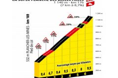
The Planche des Belles Filles already had a ridiculously steep finish, but for the 2019 tour they added an additional mile of ascent, some of it gravel, with another 24% section (I’ve seen figures of up to 30% – who knows) just before the line, and they called it the Super Planche des Belles Filles.
From the map, I saw that it was right next to le Ballon d’Alsace, which I’d also climbed, back in May, so I put it straight onto my list of climbs to do.
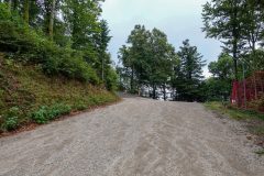
So here I am, back in France for another tour in my van. I’m in The Vosges to take on La Super Planche de Belles Filles, starting from a car park which itself is at the top of a very steep road, as I discovered when driving my van up the gravelly slope using first gear.
After hastily getting my gravel bike and myself ready, I left for the ride at 3:15. Notions of using my Colnago (and there weren’t many) went out the window when I saw that gravelly hill to the car park. The day had started sunny but the skies were darkening. After gingerly descending from the car park to Ronchamp, I rode the ten, gently ascending, miles to the start of the climb proper.
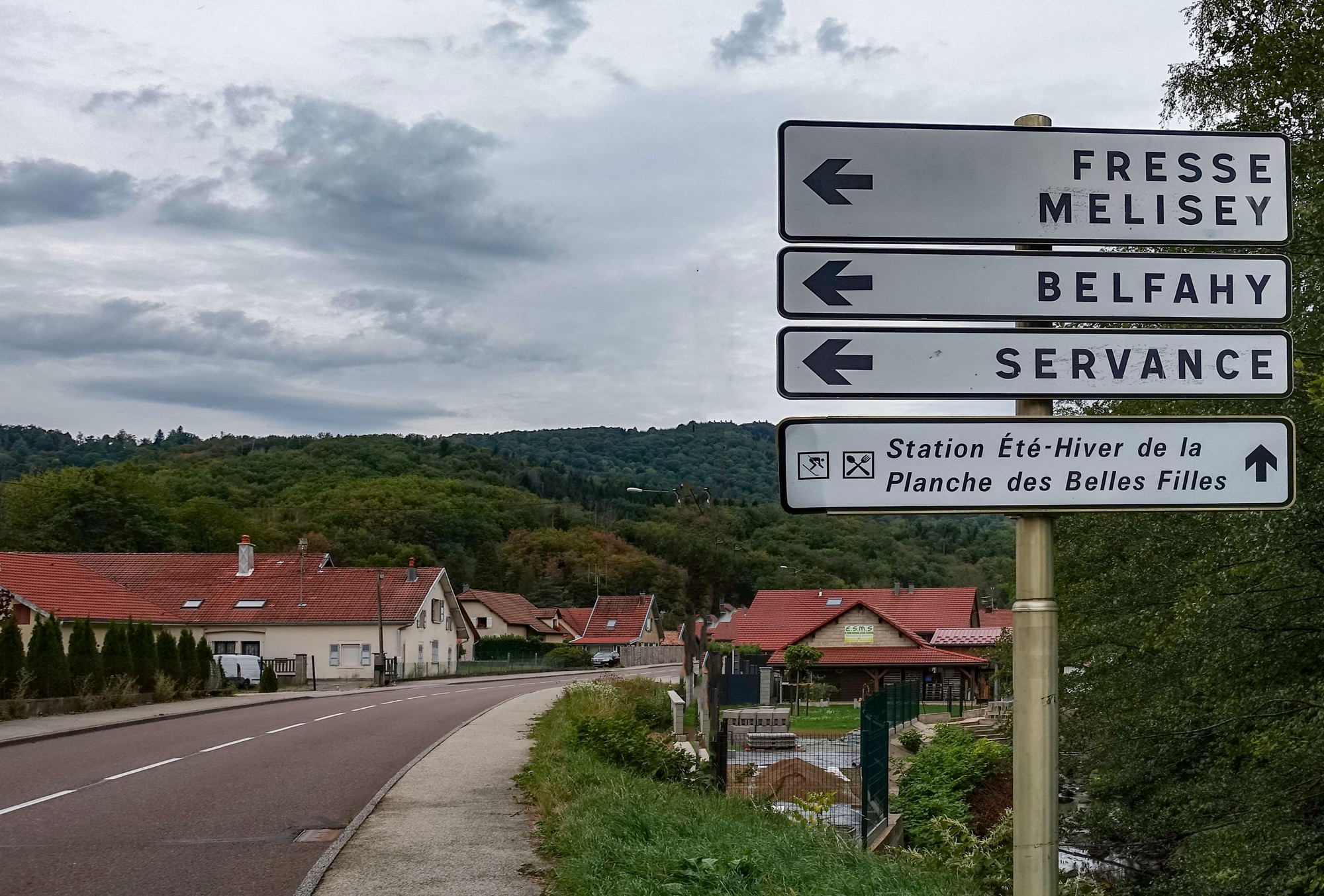
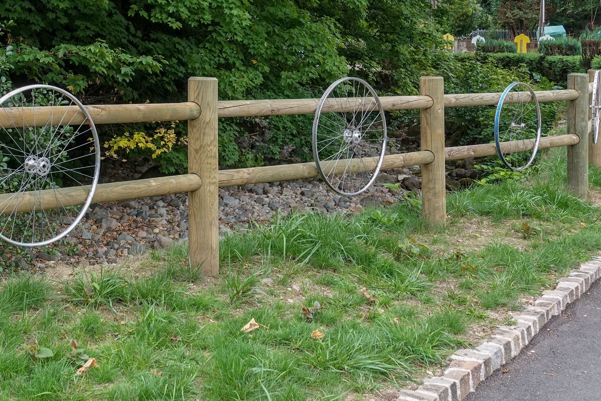
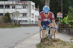
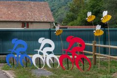
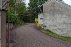
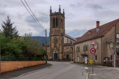
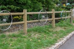
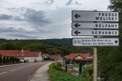
Villages on the way included Champagney, Plancher-Bas and Plancher-les-Mines, the last of which still had Tour de France parafernalia lining the streets.
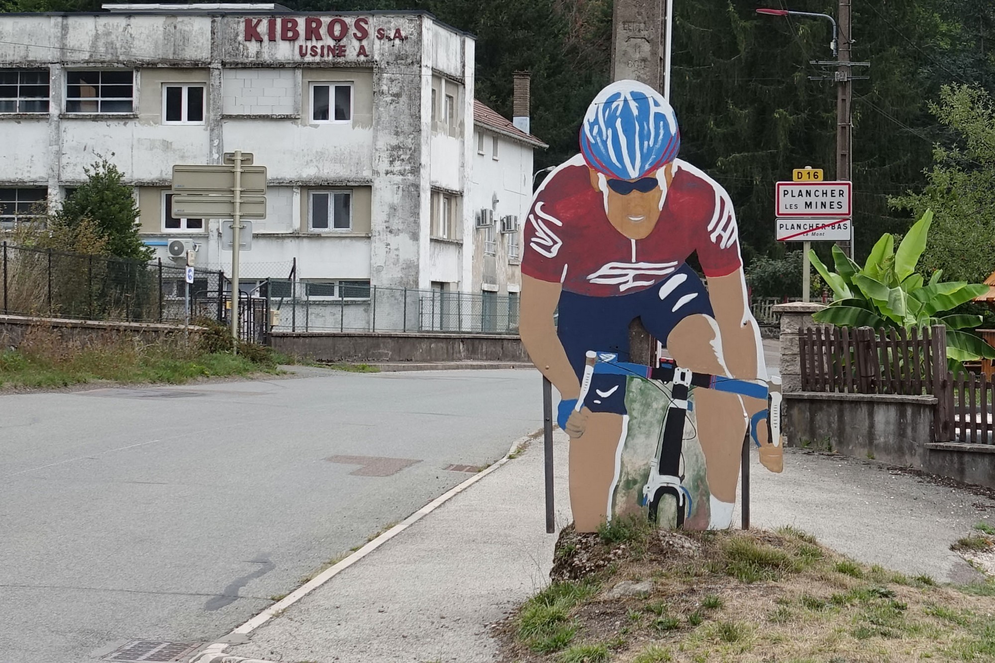
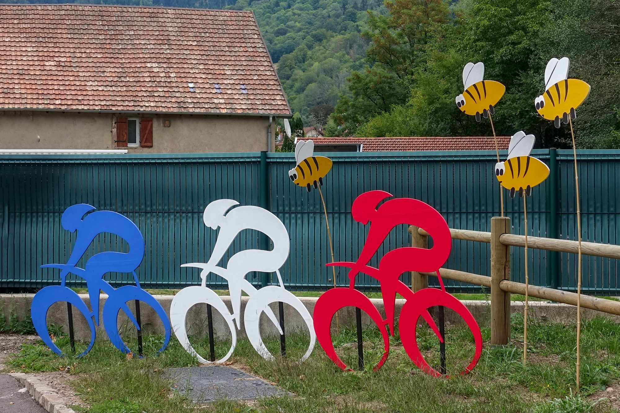
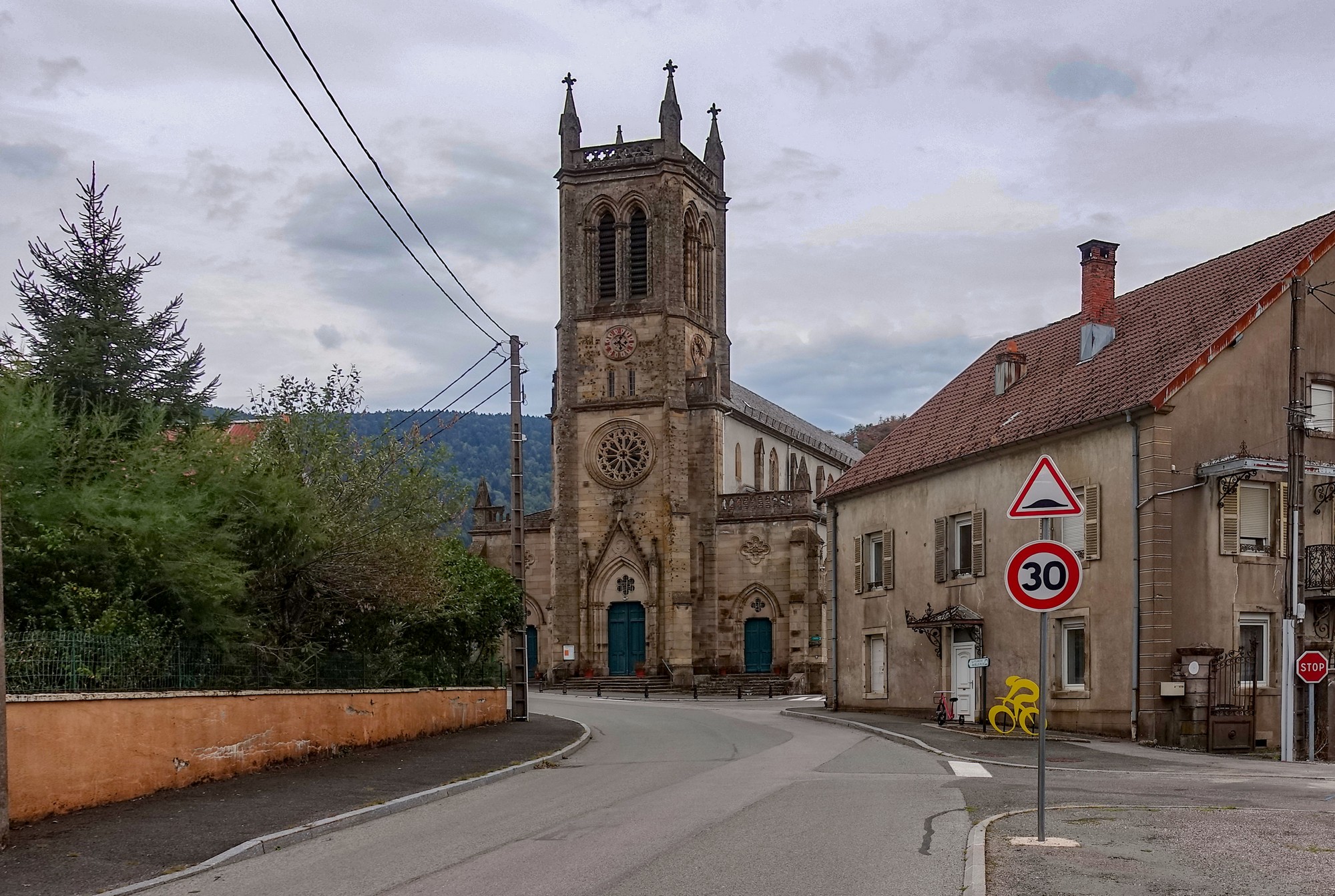
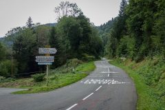
One mile past Plancher-les-Mines comes the start of the climb
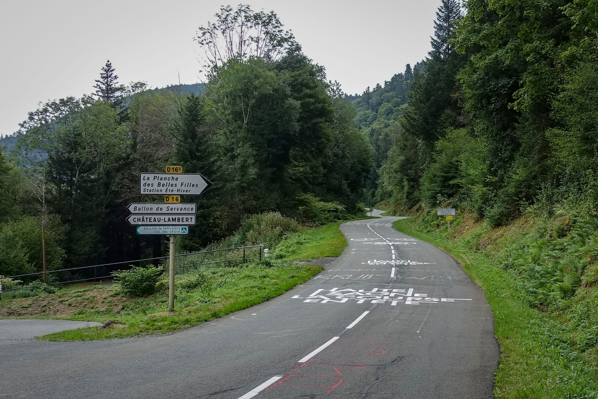
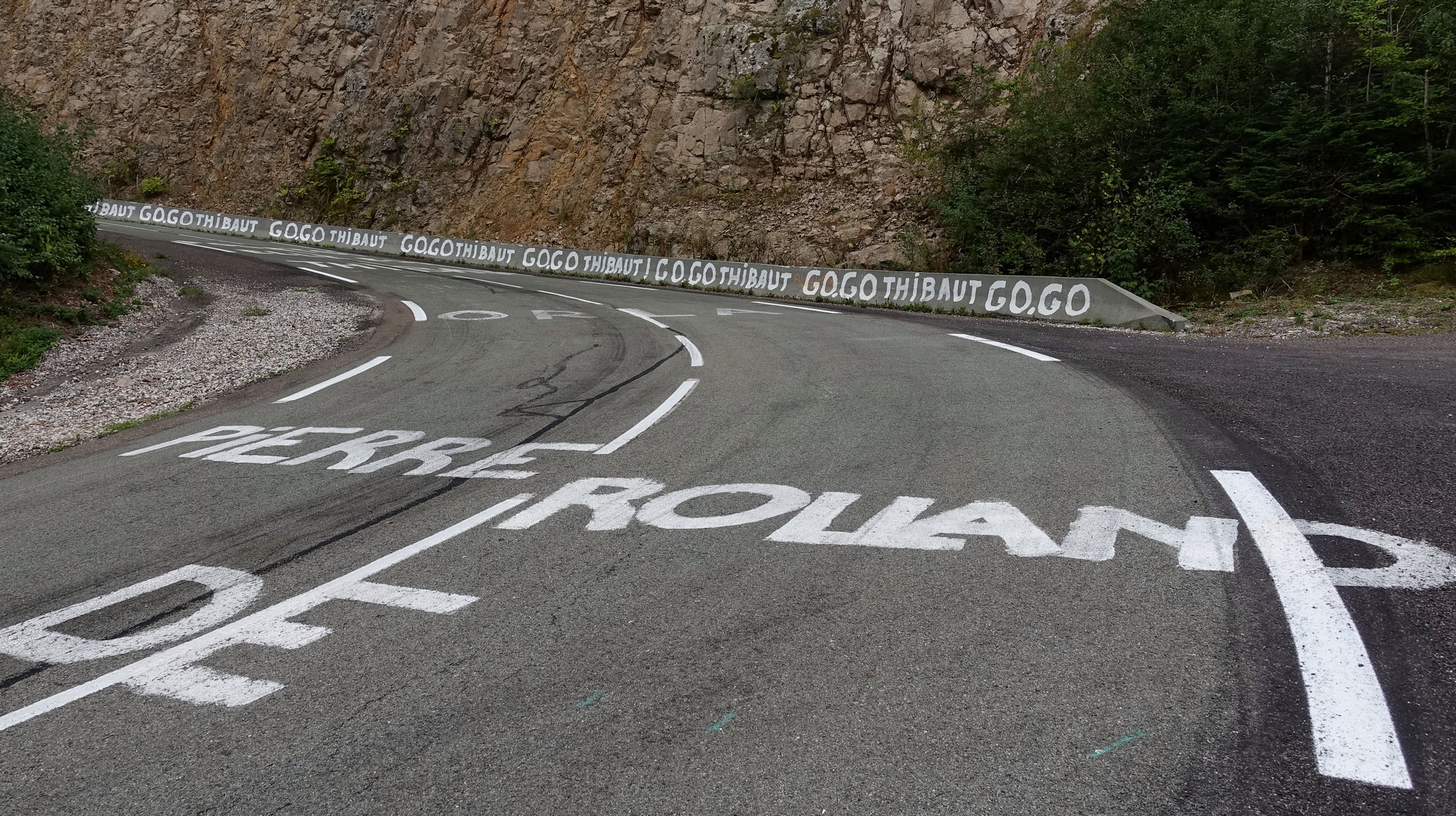
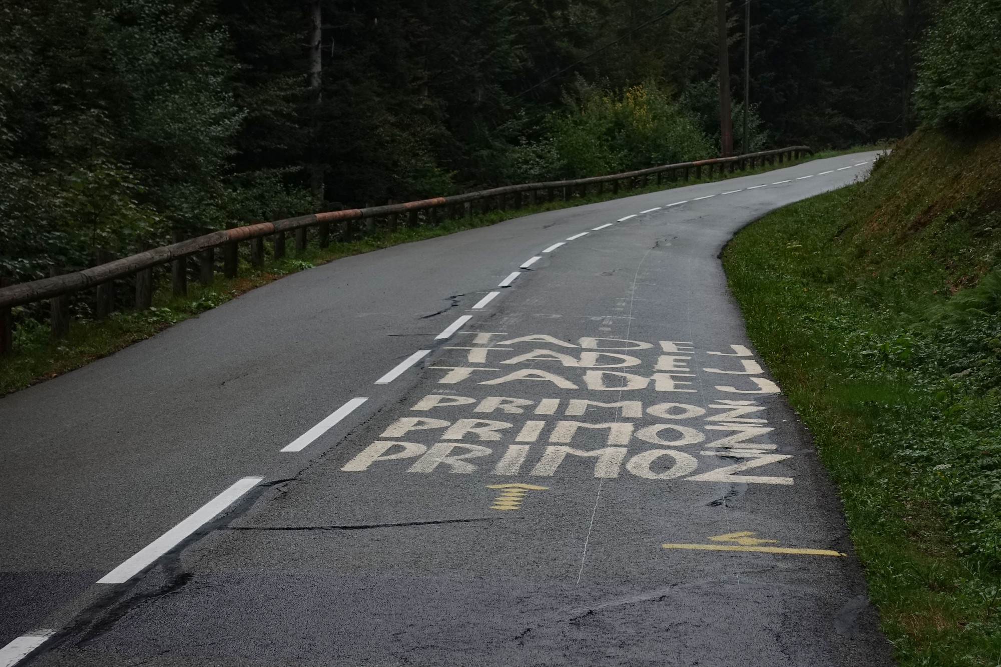
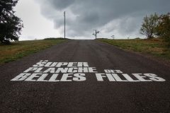
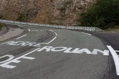
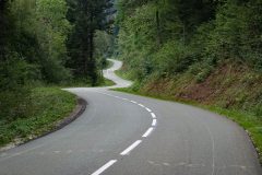
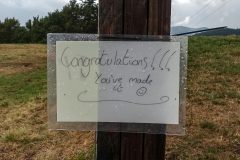
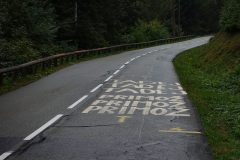
All the way up the climb was road grafitti, motivation to the heroes of the day.
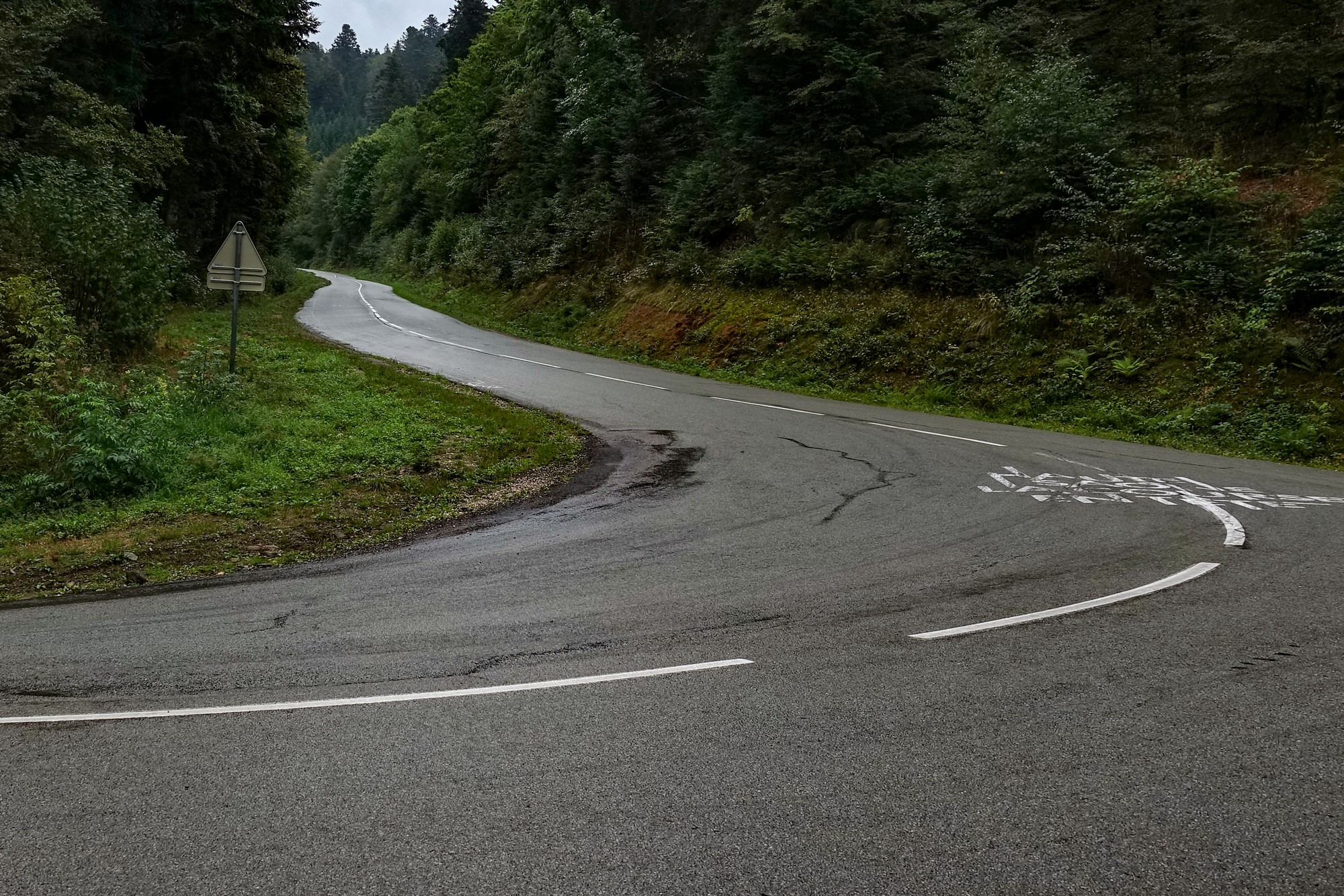
The first mile to the first switchback averages over 10% with sections of 13%
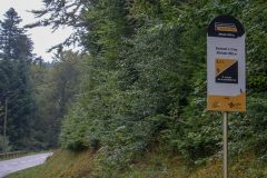
Nearly every gradient sign mentioned close to 10 % avg over the following km.
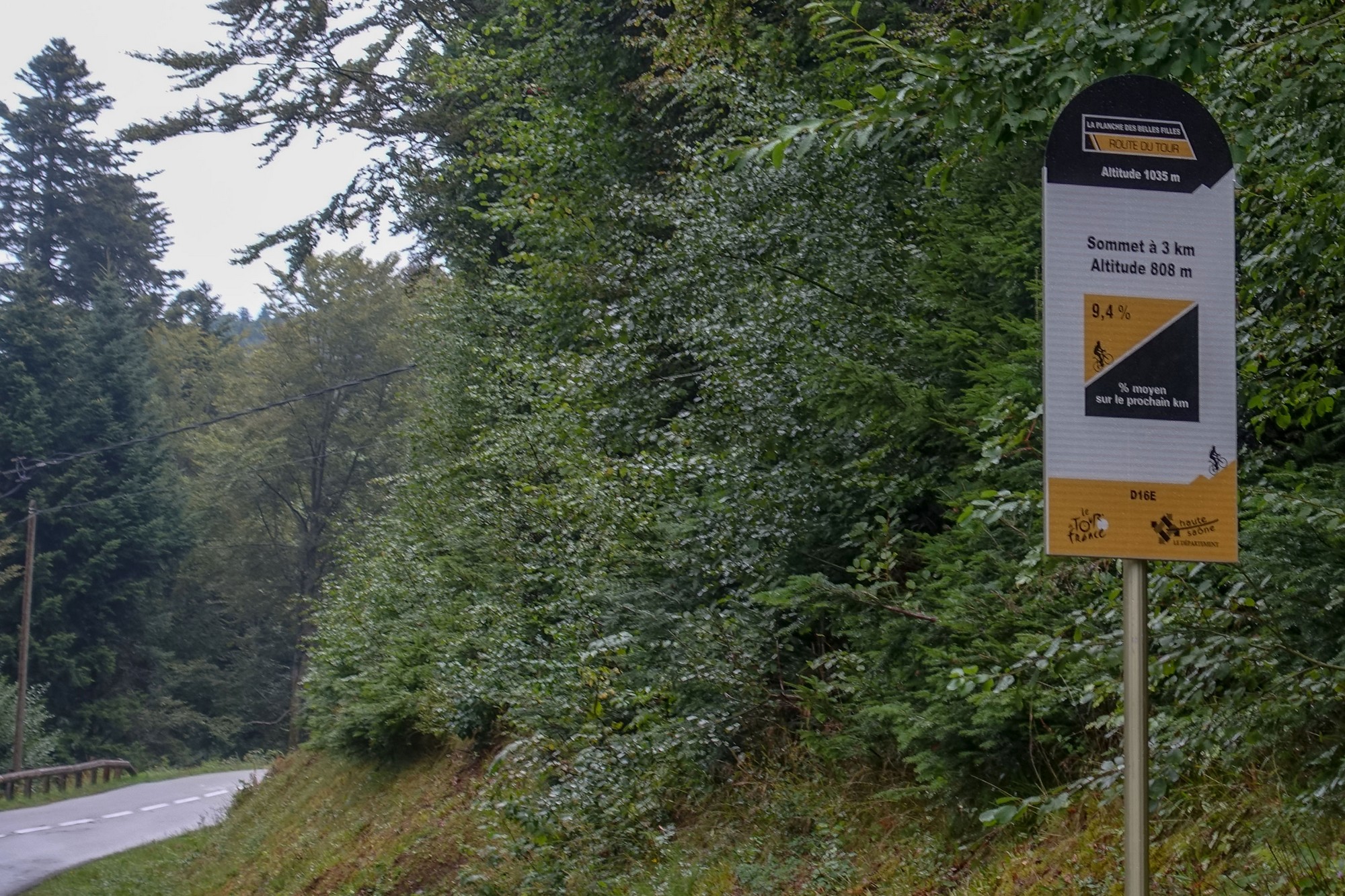
I stopped once on the way up, for an energy gel. There were a couple of flatter sections on which to recover, and even a downhill at one point.
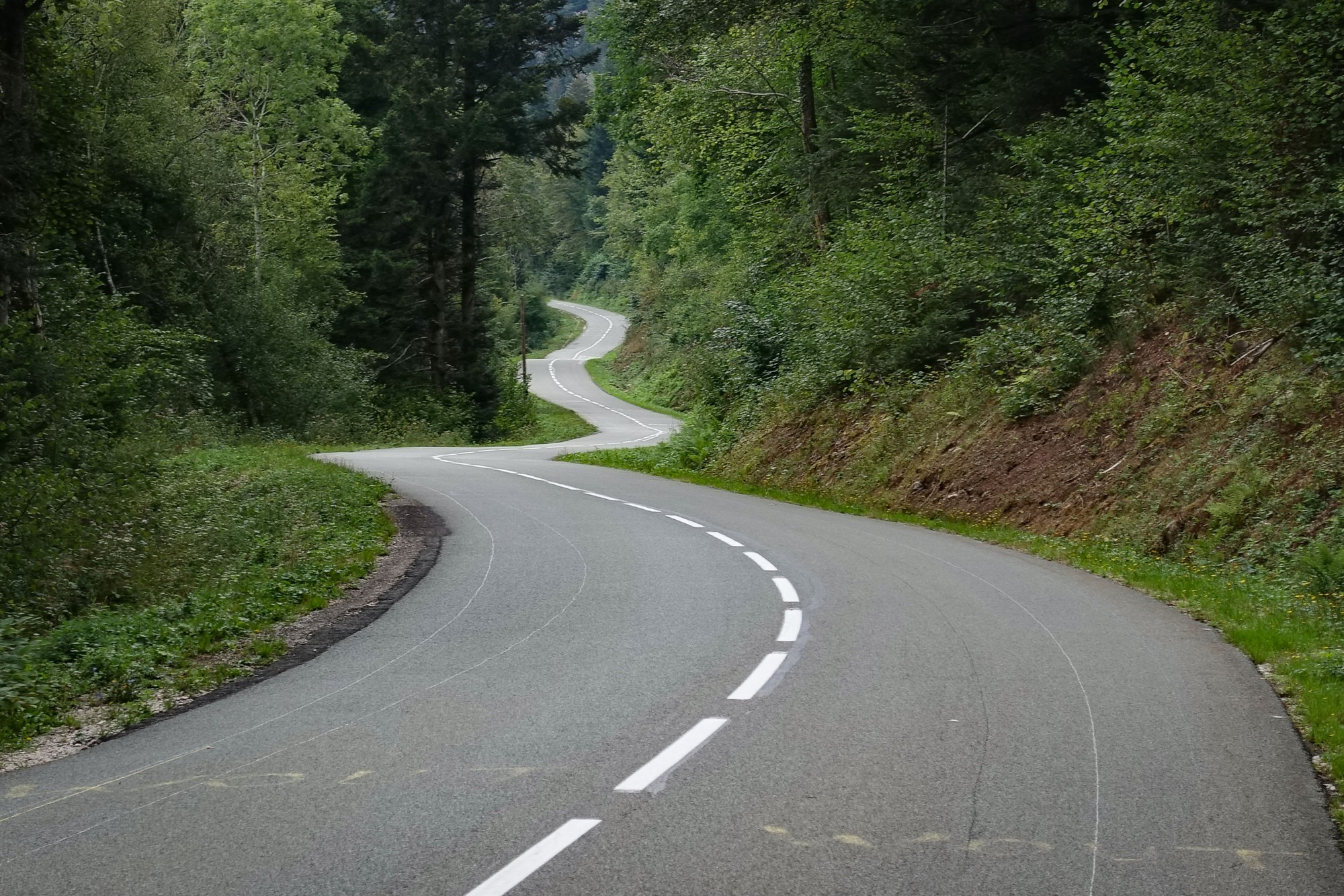
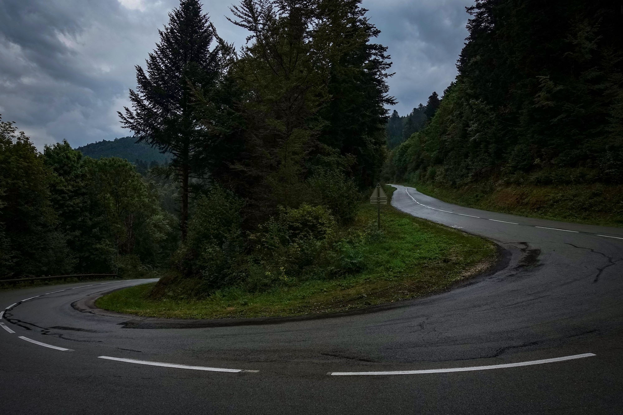
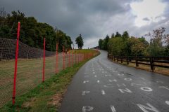
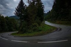
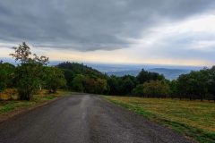
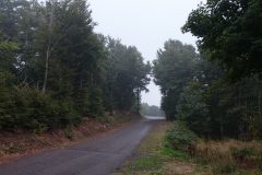
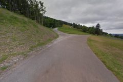
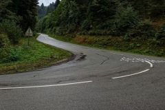
Apart from some light rain for five minutes or so, the climb was dry until the top. The photos showing wet roads were taken on the descent.
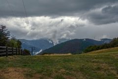
As I neared the summit, the sky had gone very dark, the wind had dropped to nothing and there was an eerie quiet in the air, broken only by my breathing and distant rumblings of thunder. I carried on, hoping for the best.
The final ramp to the ‘old’ finish ends up at 20%. I was out of my saddle for nearly all of it and then had to sit back down, legs burning, and swerve from one side of the road to the other to be able to get up the last bit.
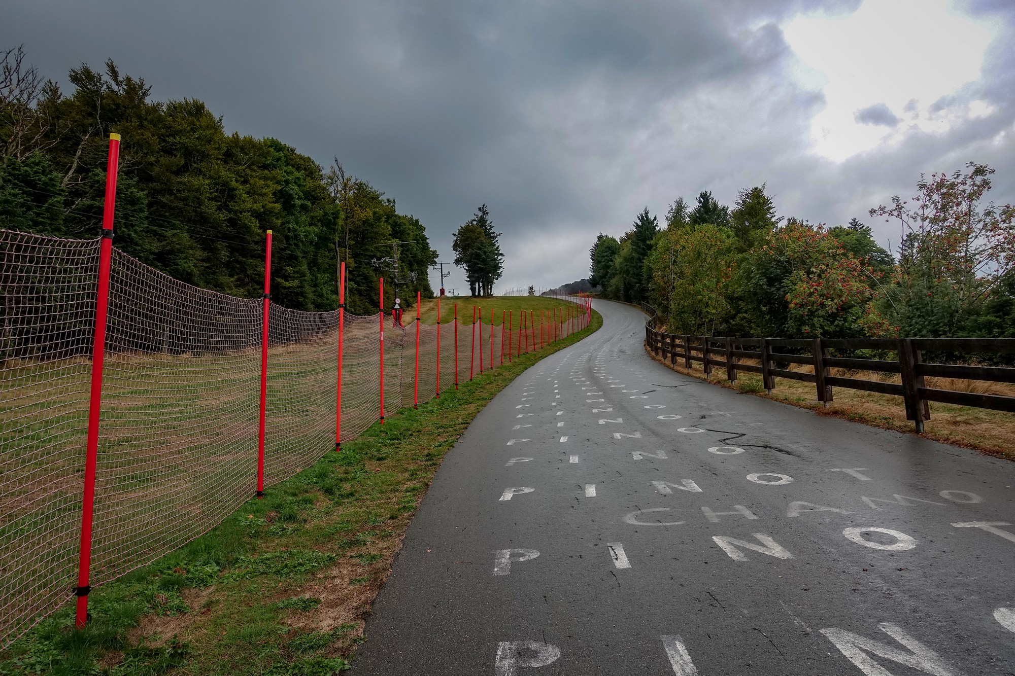
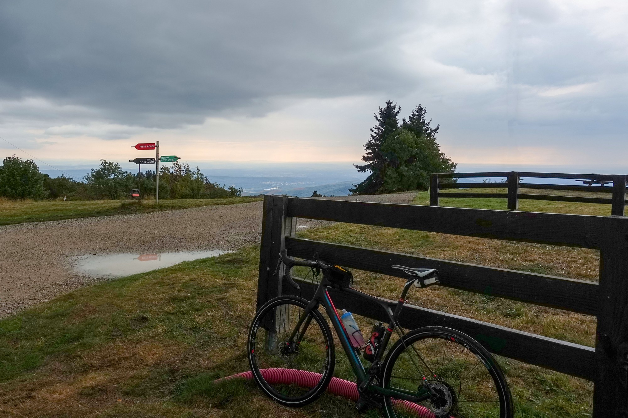
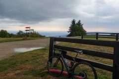
So I had made it to the Planche. It had started raining. I toyed with the idea of missing out the Super Planche finale, but decided that I’d come too far to give up.
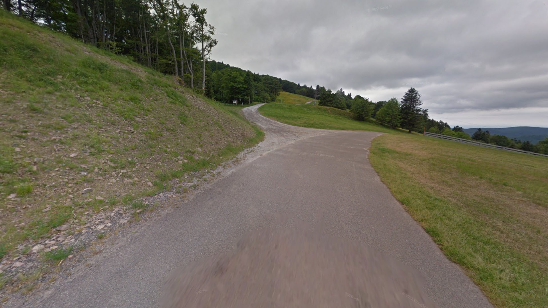
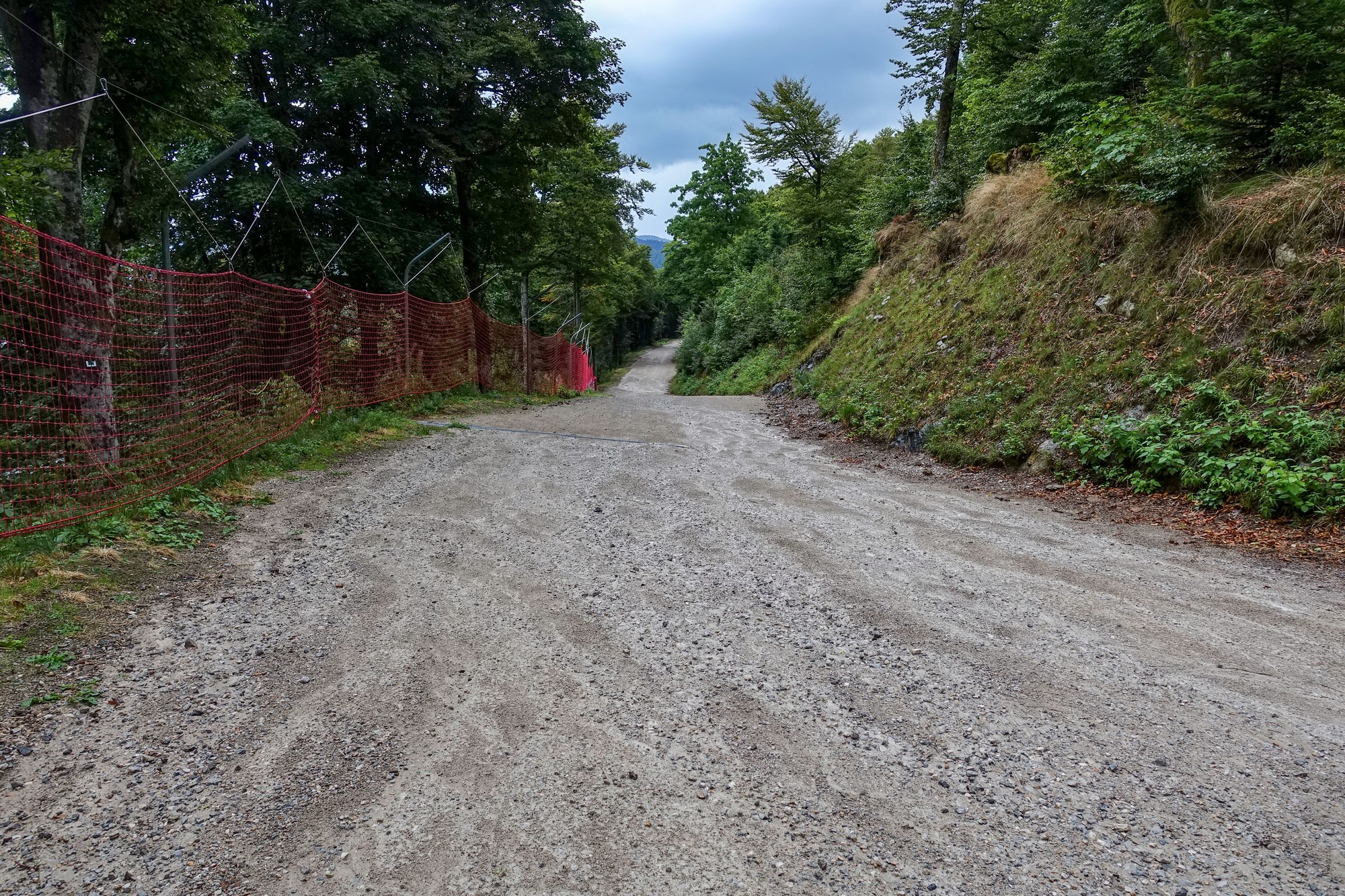
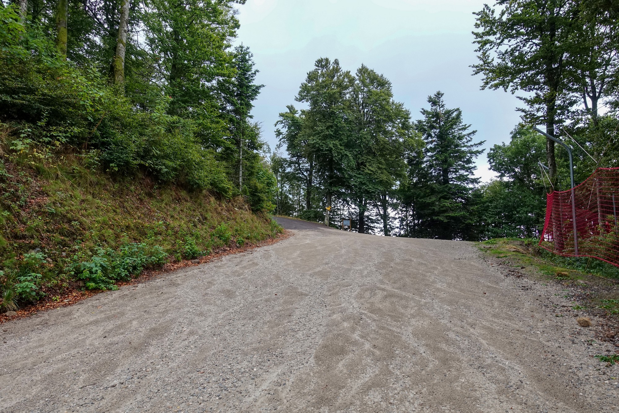
The gravel section was OK. Steep but no wheel slippage. Ironically, it was on the next section of tarmac when things went wrong, grip-wise. On the tarmac the gradient ramped up again but now it was raining more heavily. I was out of the saddle when the rear wheel spun on the wet road and I came to an immediate halt. I barely had enough time to unclip my pedal to avoid crashing to the ground. So I was standing there in the pouring rain on a gradient that was probably too steep to get started on again. I went and stood under a tree to wait out the storm. The heavens opened and even the tree cover did almost nothing to prevent me getting drenched, I decided to eat my ham and dijon mustard sandwich while I was standing there getting cool. I then mused what an idiot I had been for not bringing my rain-jacket – I would have needed it for the descent whether it had rained or not!
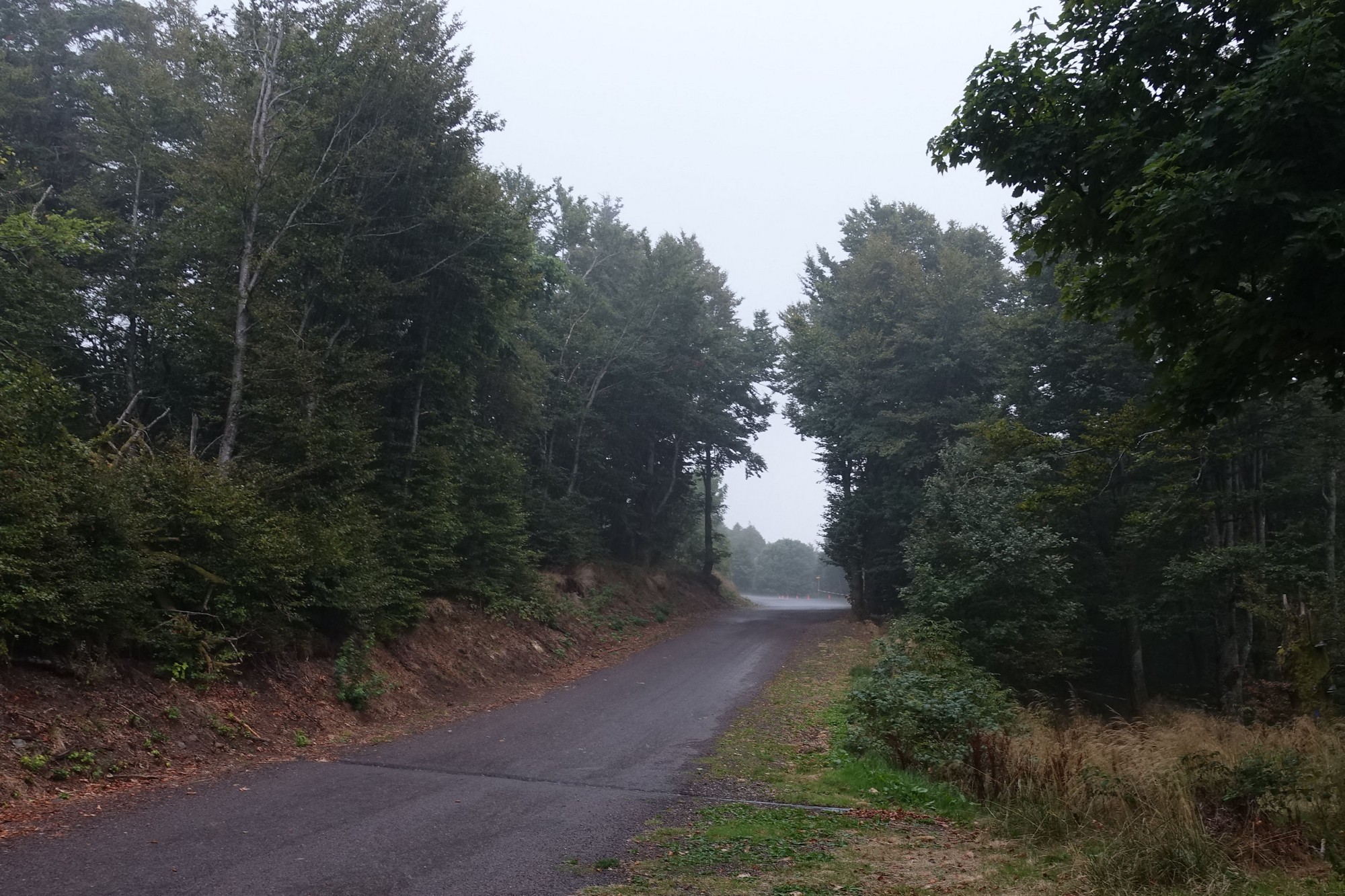
Eventually the sky brightened in the distance, the thunder passed and the rain eased up. Before it had completely stopped, three walkers went by and started talking to me. I asked them how far left to go. One of them said ‘about 250m but it’s very steep round the bend to the left up ahead’. And I thought ‘yeah but how steep’. I mean it already was steep. I managed to get going again by starting sideways across the road to ease the gradient.
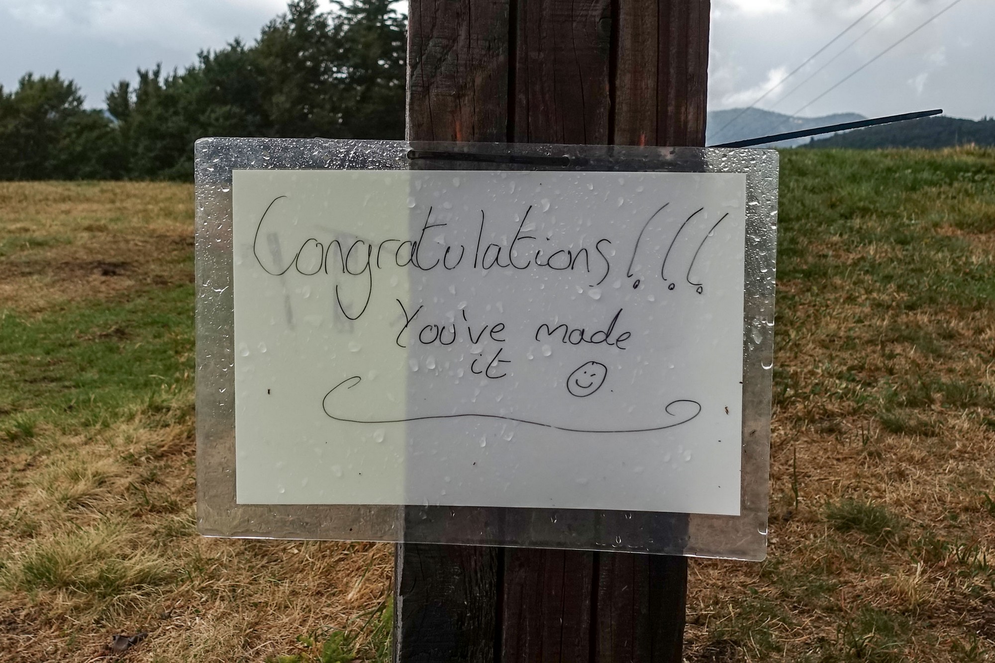
Once round that next bend the road did indeed rear up ahead and worse still there was gravel on the tarmac. I was struggling up there trying to keep seated to avoid my rear wheel slipping, and I kept wondering how the hell did the Tour de France riders manage to get grip on this surface while out of the saddle – maybe it had been swept of gravel on the day. Anyway I lost traction again and had to stop. The gradient at that point was anywhere between 24 and 30% (depending where you read about it). I pushed my bike until the slope eased slightly then I got going again (by starting sideways across the road) and finally made it over the brow to the top.
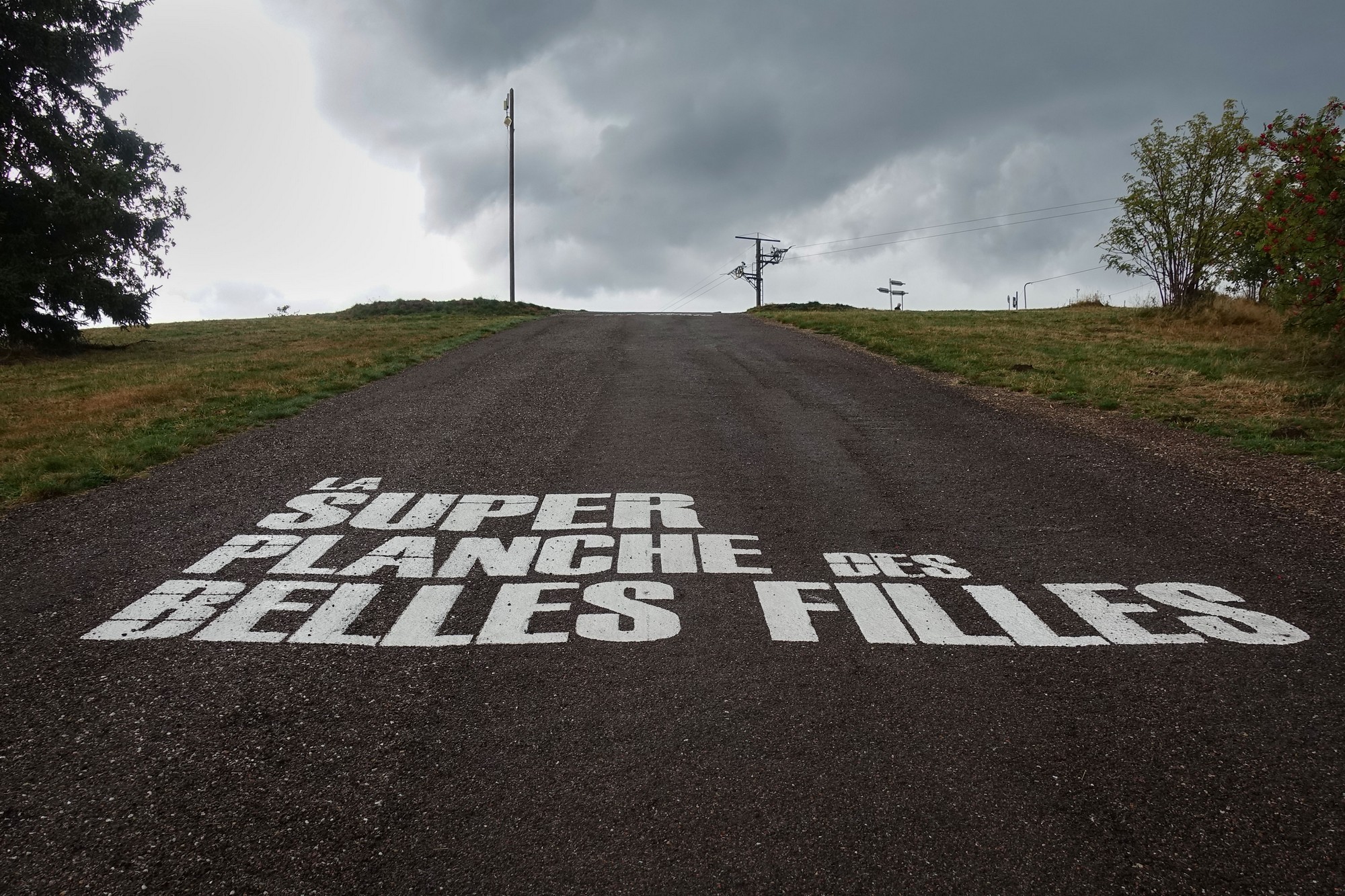
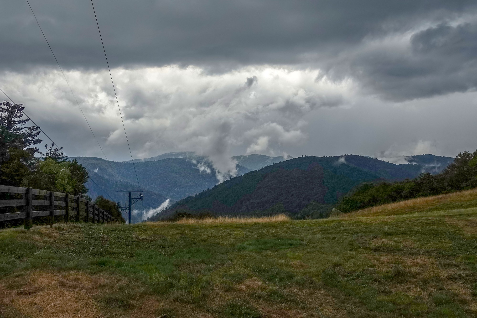
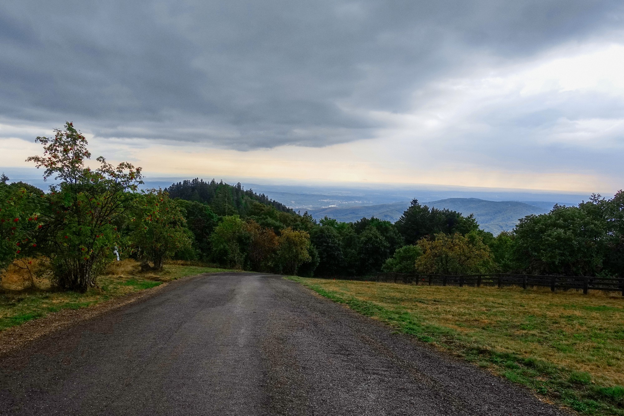
I didn’t hang about long up there. I was soaking wet and getting cold, somewhat dreading the inevitable chill of the descent. As I set off to plunge gingerly down the hill, my wet disc brakes were squealing like crazy. Luckily they quietened down after a while. I made numerous stops on the way down to get the photos above. I didn’t get too cold. I can only attribute this to the very warm air (somewhere in the mid 20ºC’s). My feet stayed warm although soaking wet (unlike on that descent from Col d’Iseran in May). It started raining again midway through the descent and didn’t really let up until near the end of the ride.
It would have been an amazing descent had it been dry. Anyway, I let the brakes go completely towards the bottom and I could tell from the racket in my ears that I was doing a decent speed – 44mph according to RideWithGPS or 47mph from Strava.
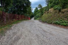
I averaged 20mph over the 10 miles through the villages back to Ronchamp. Luckily it had stopped raining by the time I came to climb the steep mile back to my van.
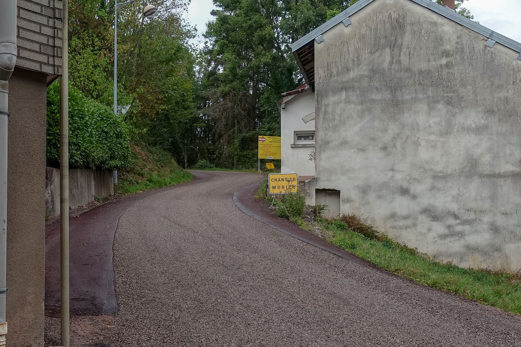
The average for that last climb is 8.2%, but that includes flat bits and a downhill section! So the steep bits were 13%+. As you can see in the photo there was gravel in the centre of the road with 2 red tarmac strips either side – these were mainly smooth but also had gravel all over them in places. I got up there in one go without slipping too much.
“The Super Planche des Belles Filles”. It’s a great name for a climb. And there is a great legend behind the name, but the podcast link below reveals that the ‘legend’ was made up!
The legend may be ficticious but the climb is most certainly real! For me, it’s been another great ride in The Vosges, despite the weather.
Further Info
-
- Wikipedia article on the Planche des Belles Filles
- Route info and maps for Tour de France 2022 Stage 7
- Photos, profiles and results for the Super Planche des Belles Filles
- The ‘legend’ behind the name
- An interesting podcast that discusses Stage 7, 2022 and reveals that the legend was ‘invented’ by the local tourist board to promote the village when the Tour first came through in 2012. Haha!
Gallery
Click to enlarge / see slideshow


