Distance: 29.7 miles. Elevation: 5287 ft.
Col de Méraillet | Col du Pré
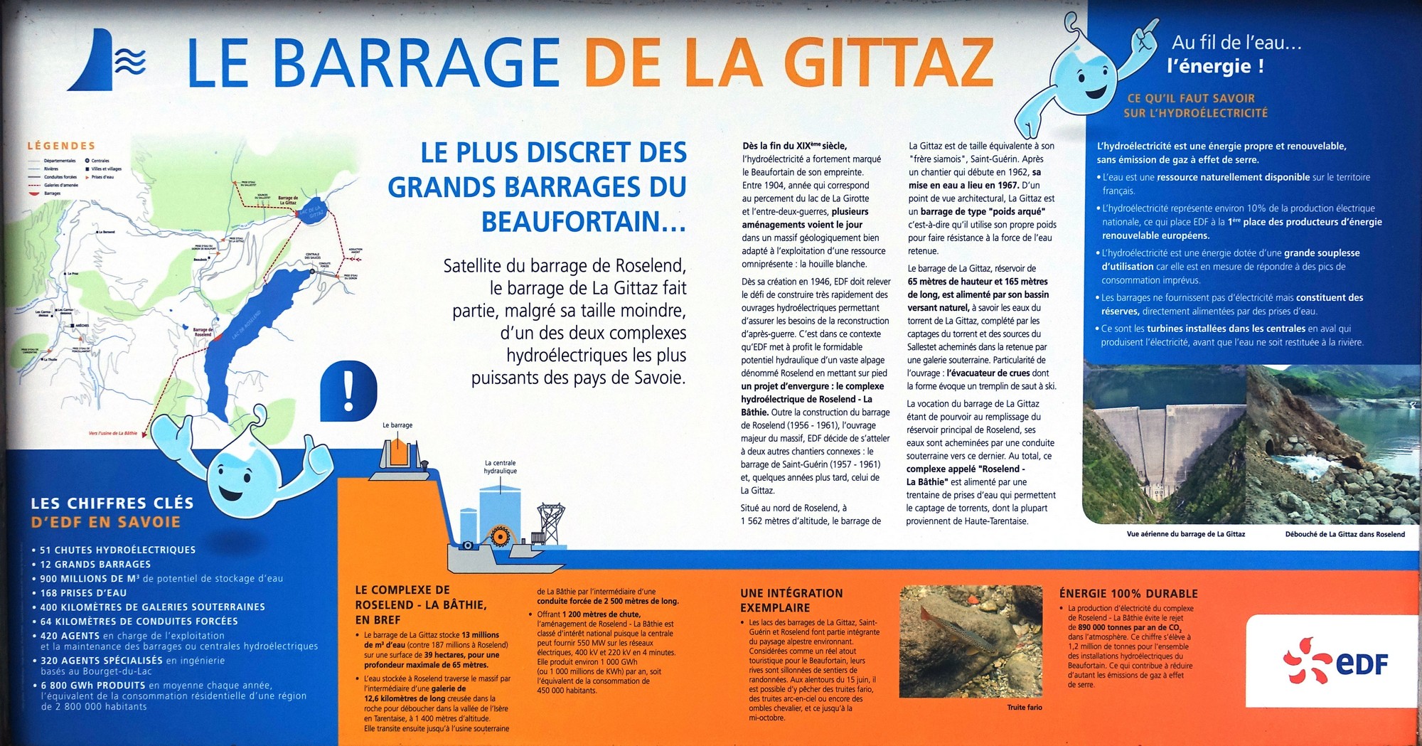
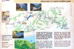
This route is essentially a loop to Lac de Roselend then across the dam (le Barrage de Roselend) and back via le col du Pré. I decided to throw in a couple of out-and-back excursions to two other lakes en route, lac de la Gittaz and lac de St-Guérin. These three lakes supply the hydroelectric system known as le complexe de Roselend–La Bâthie. I’ve visited the north end of Lac de Roselend before via Cormet de Roselend last year, but I’ve always fancied cycling across the dam wall.
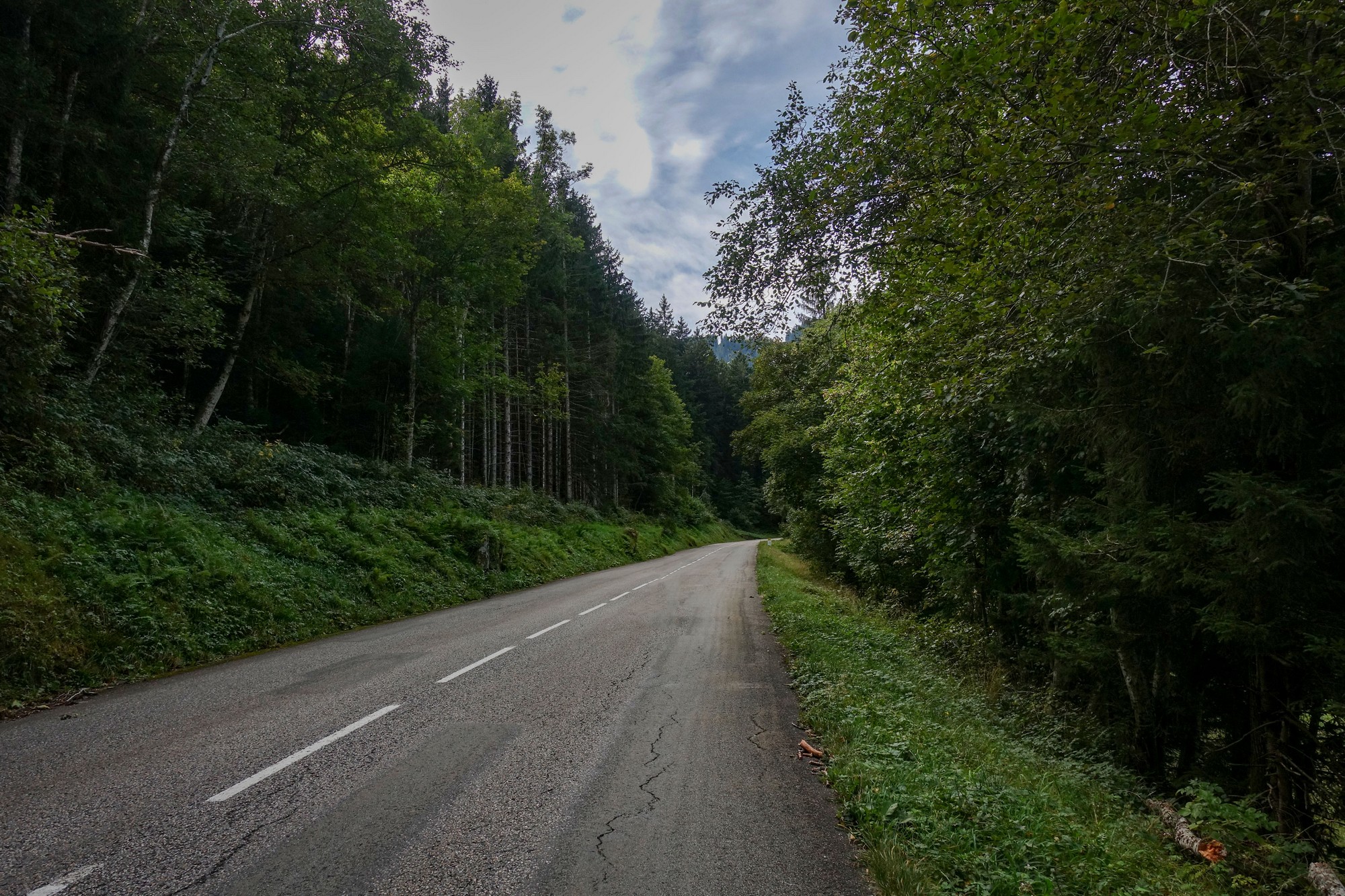
Today’s ride followed yesterday’s climb to Col du Joly, and once again started from the lovely town of Beaufort, in the Beaufortain mountains. I took the road heading south-east out of town towards Bourg-Saint-Maurice via Cormet de Roselend, although I wouldn’t be going that far today. The road follows the deep wooded valley of the Doron river, rising at a consistent 7% incline. With forest on either side, there wasn’t much to look at so I barely stopped for photos. In fact I only stopped for a total of three minutes during the first ninety minutes of riding.
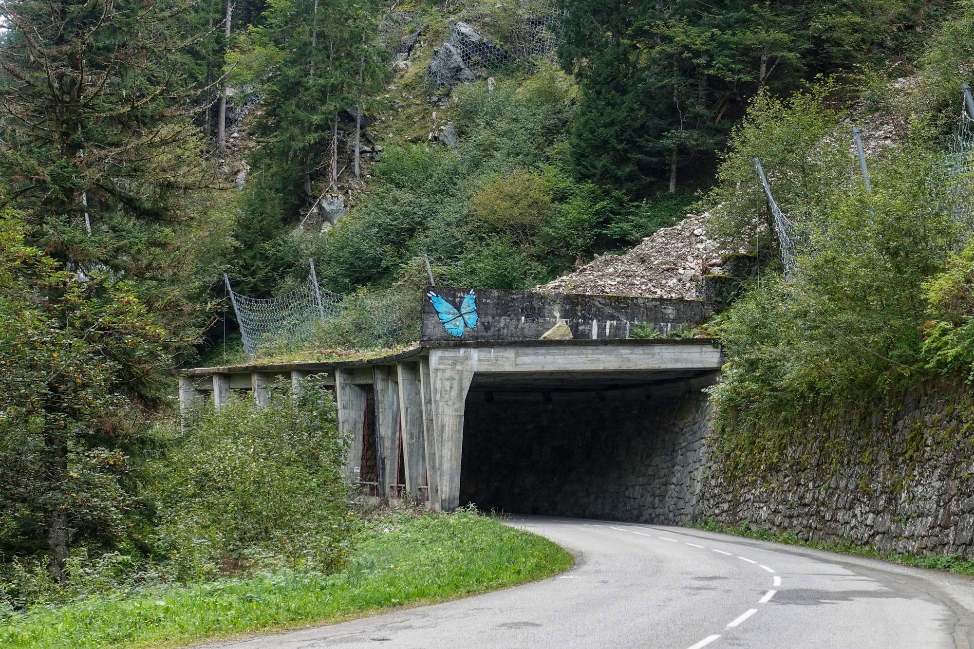
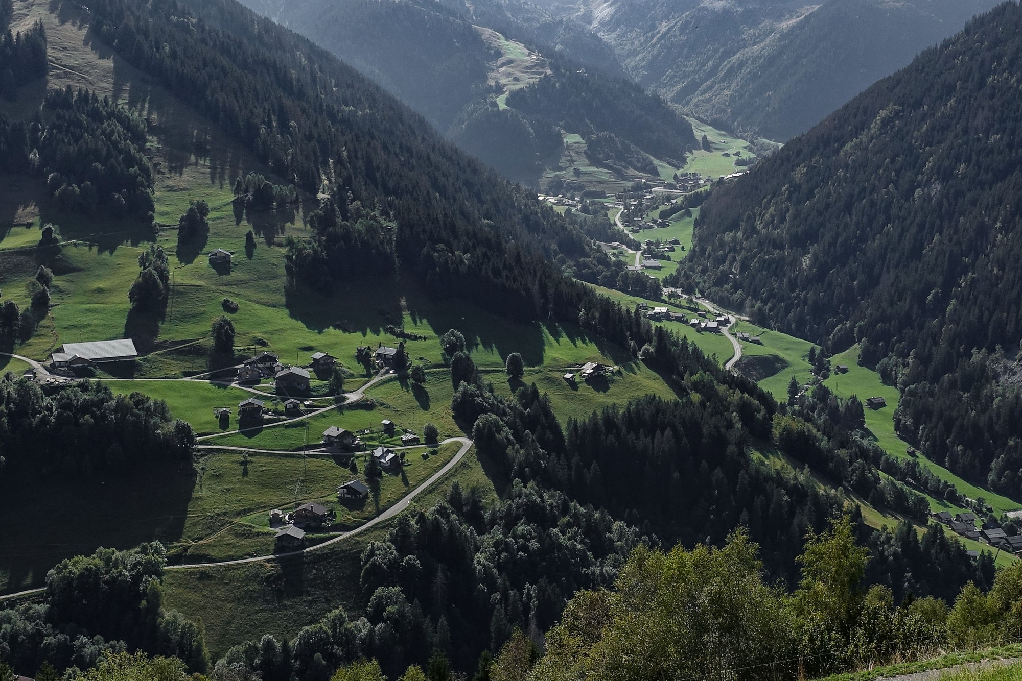
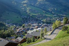
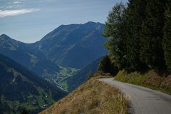
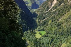
The first 4.5 miles are fairly straight as the road follows the valley, after which it turns away from the river and zig-zags up the hillside in long sweeping switchbacks for the next three miles. Through a rare gap in the trees there is an aerial view down and back along the valley below.
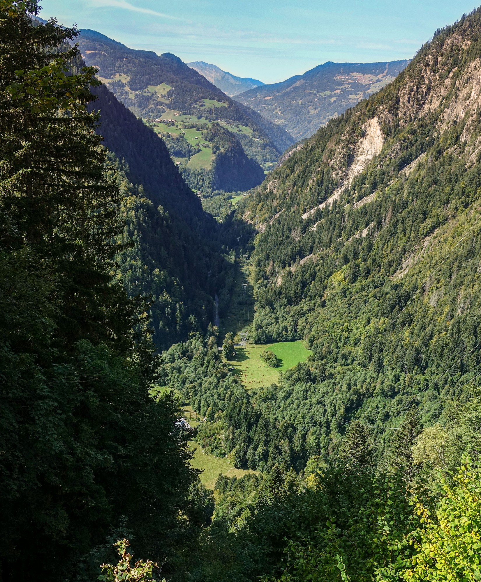
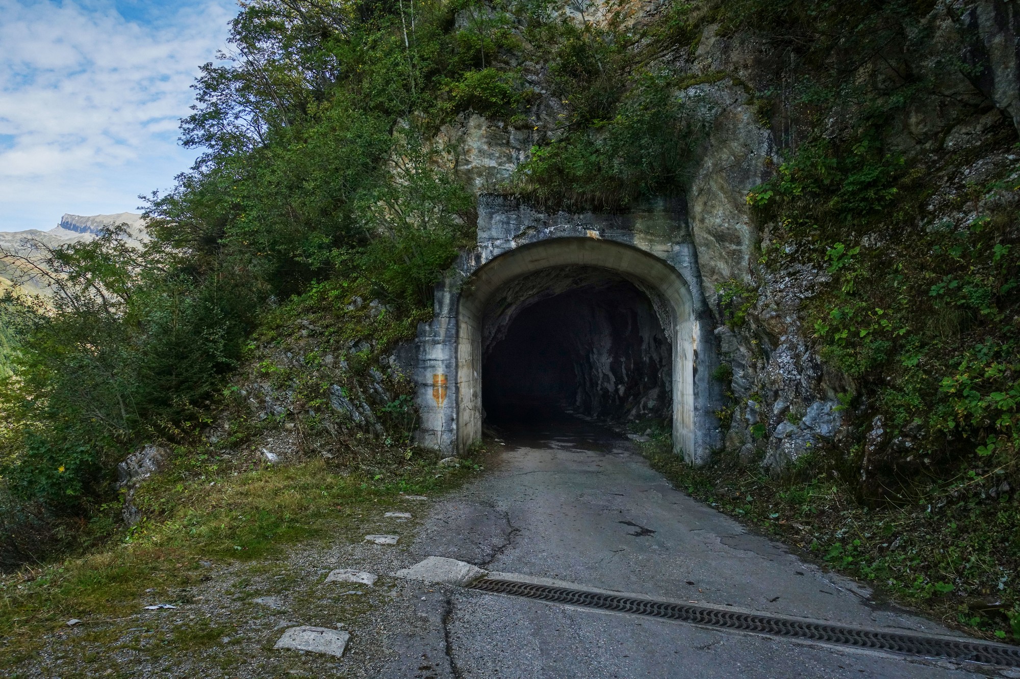
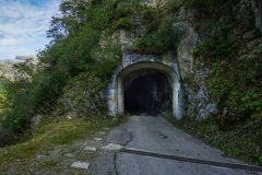
Just before reaching Lac de Roselend I turned off left for the first detour towards Lac de la Gittaz. The road continues to climb quite steeply, followed by a downhill stretch that leads to a dark tunnel I had not been expecting.
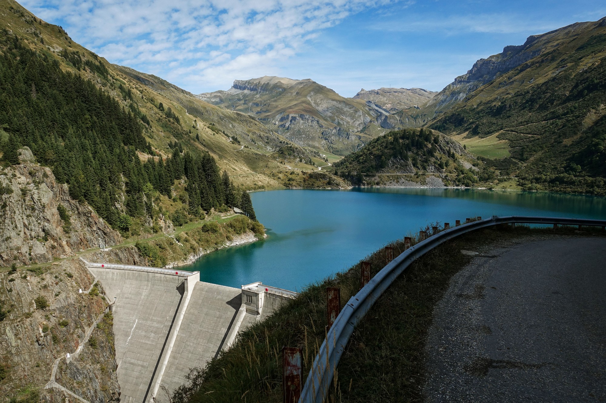
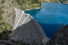
As I was taking the photo of the entrance, a car approached so I quickly got back on my bike and followed it into the tunnel, hoping that the driver would realise what I was doing and drive slowly. But they just drove through at normal speed leaving me in near pitch black. I just hoped there were no potholes because I couldn’t see the road surface at all. Eventually light from the other end helped me see more and I emerged to see Lac de la Gittaz and the dam in front of me.
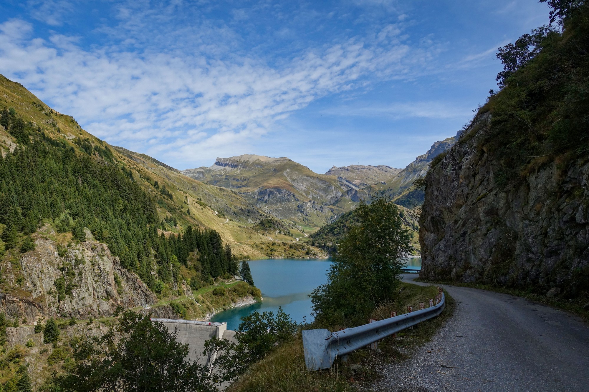
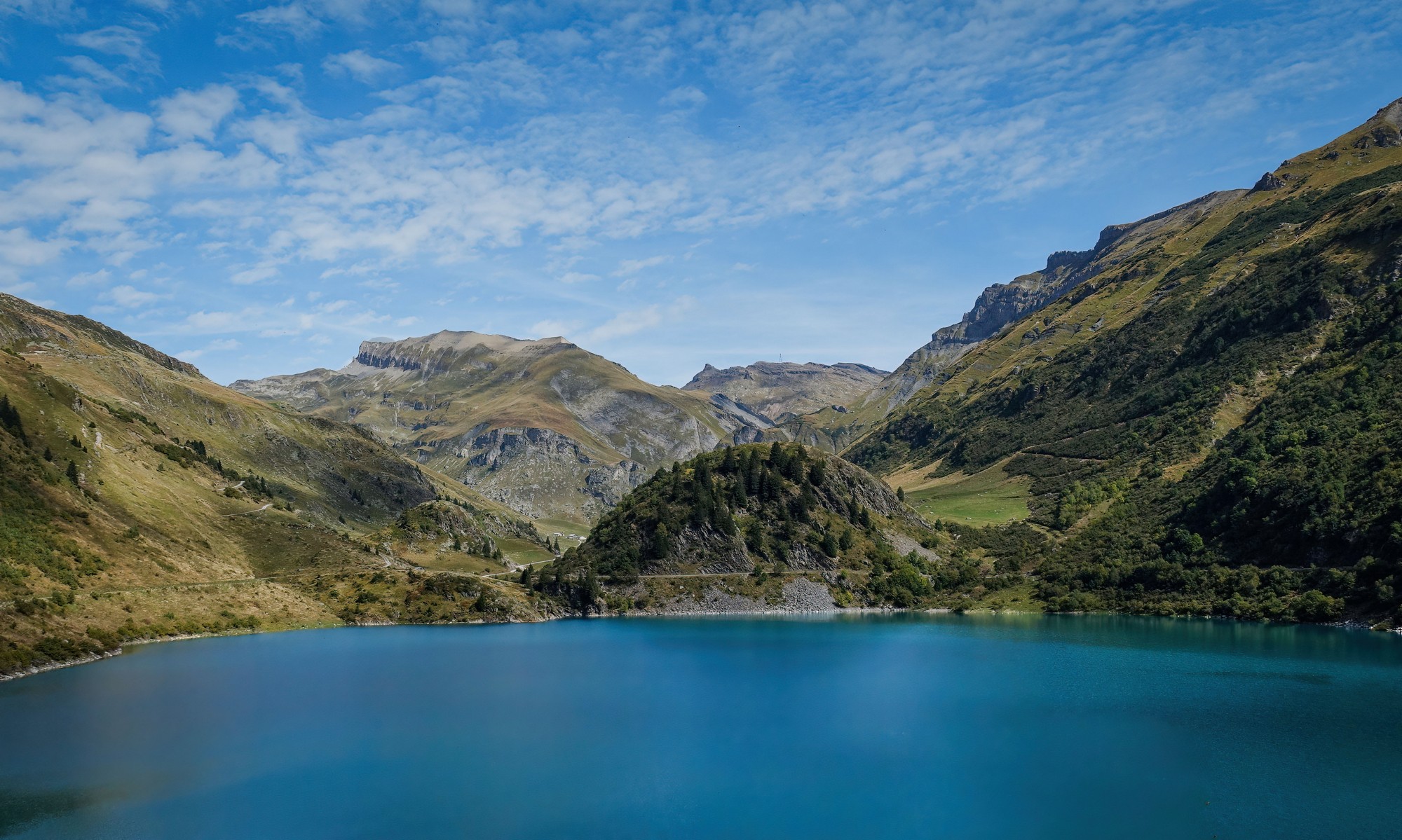
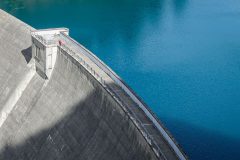
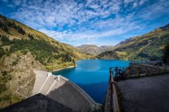
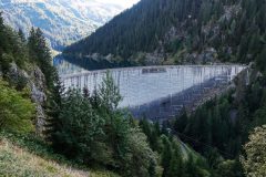
The road descends to a lookout point above the dam wall.
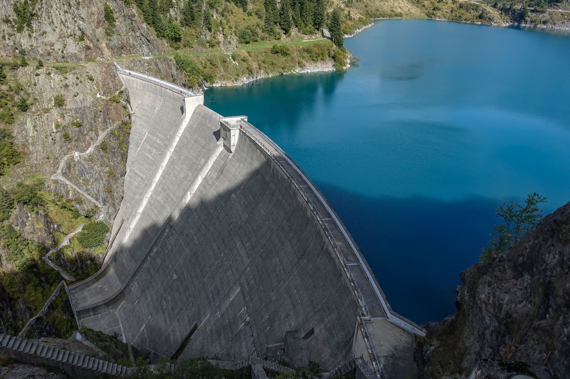
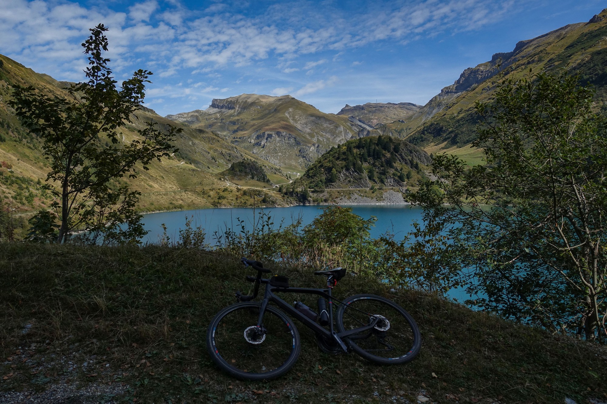
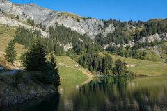
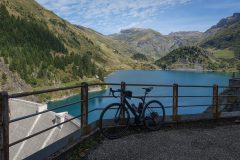
The road, gravel from that point on, descends steeply down to and around the edge of the lake.
I rode a couple of hundred metres further on to get some more shots from a different perspective. The track continues round to the other side and then climbs away from the lake into the mountains. Maybe I’ll explore further another day. It would be nice to think that you could get from here to the other side of Cormet de Roselend, but I believe that would only be achievable by MTB, and even then quite difficult.
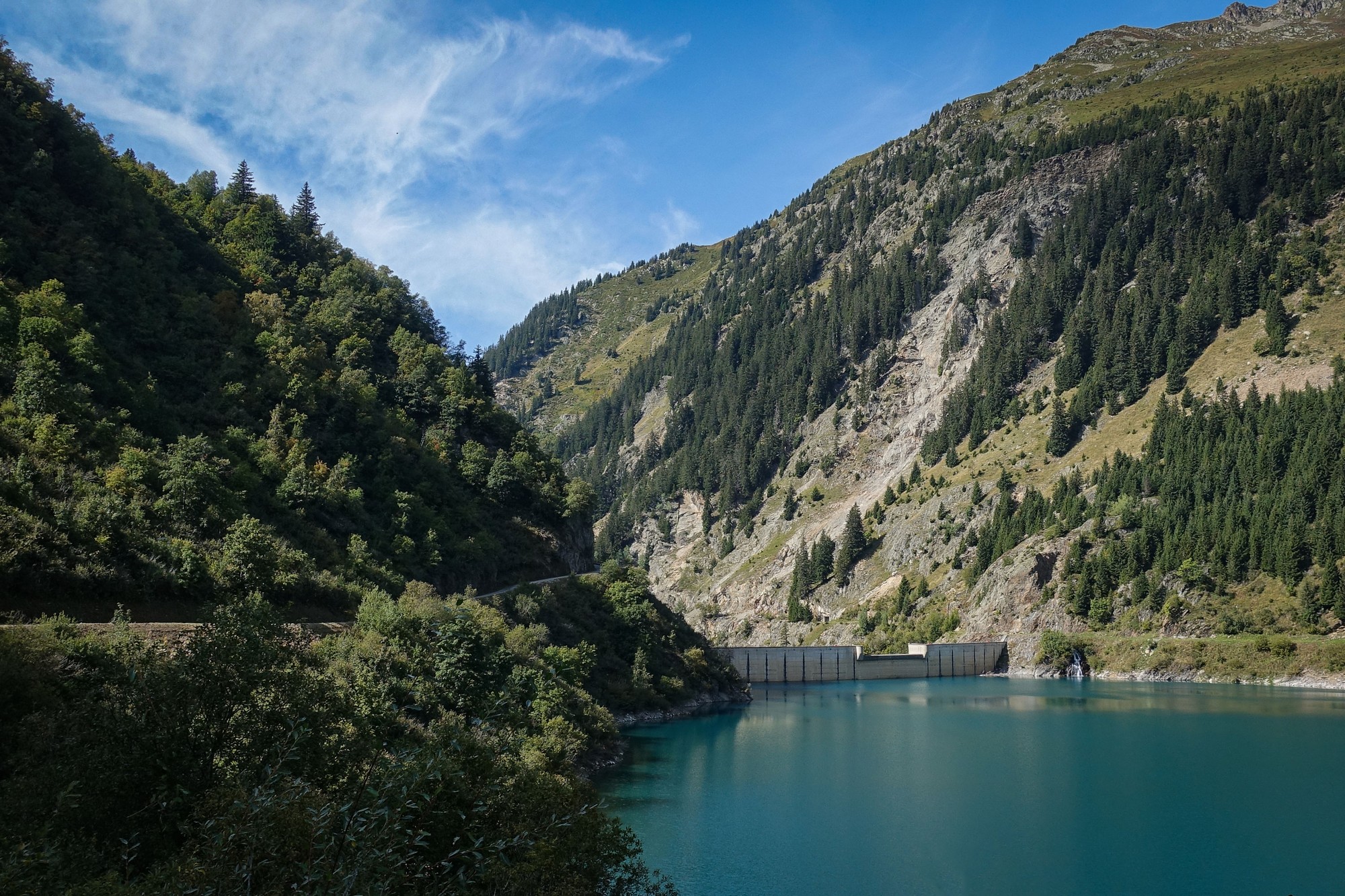
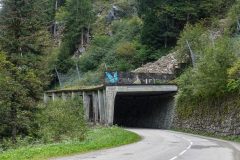
I rode back to the lookout point. There were some EDF personnel standing there next to their cars, pointing and discussing something about the dam. I suddenly thought what an amazing job that would be, driving around these beautiful mountain lakes every day and getting paid for it! One of the cars started to leave and I did the same trick as before and followed it into the tunnel. This time it seemed like the driver was driving quite slowly so I could see inside the tunnel by virtue of its tail lights. I don’t know if it was for my benefit but it certainly helped.
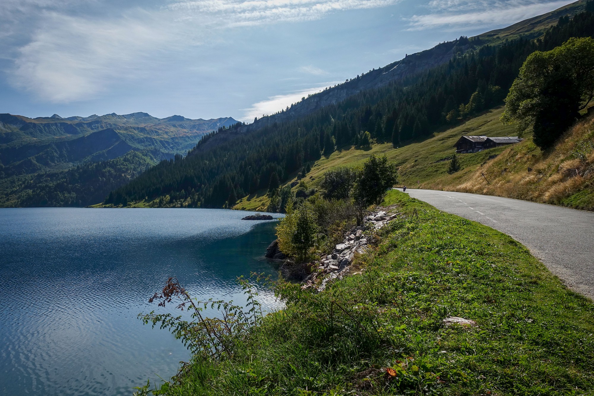
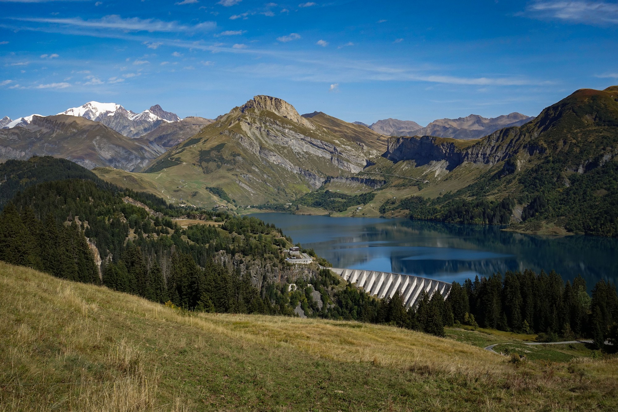
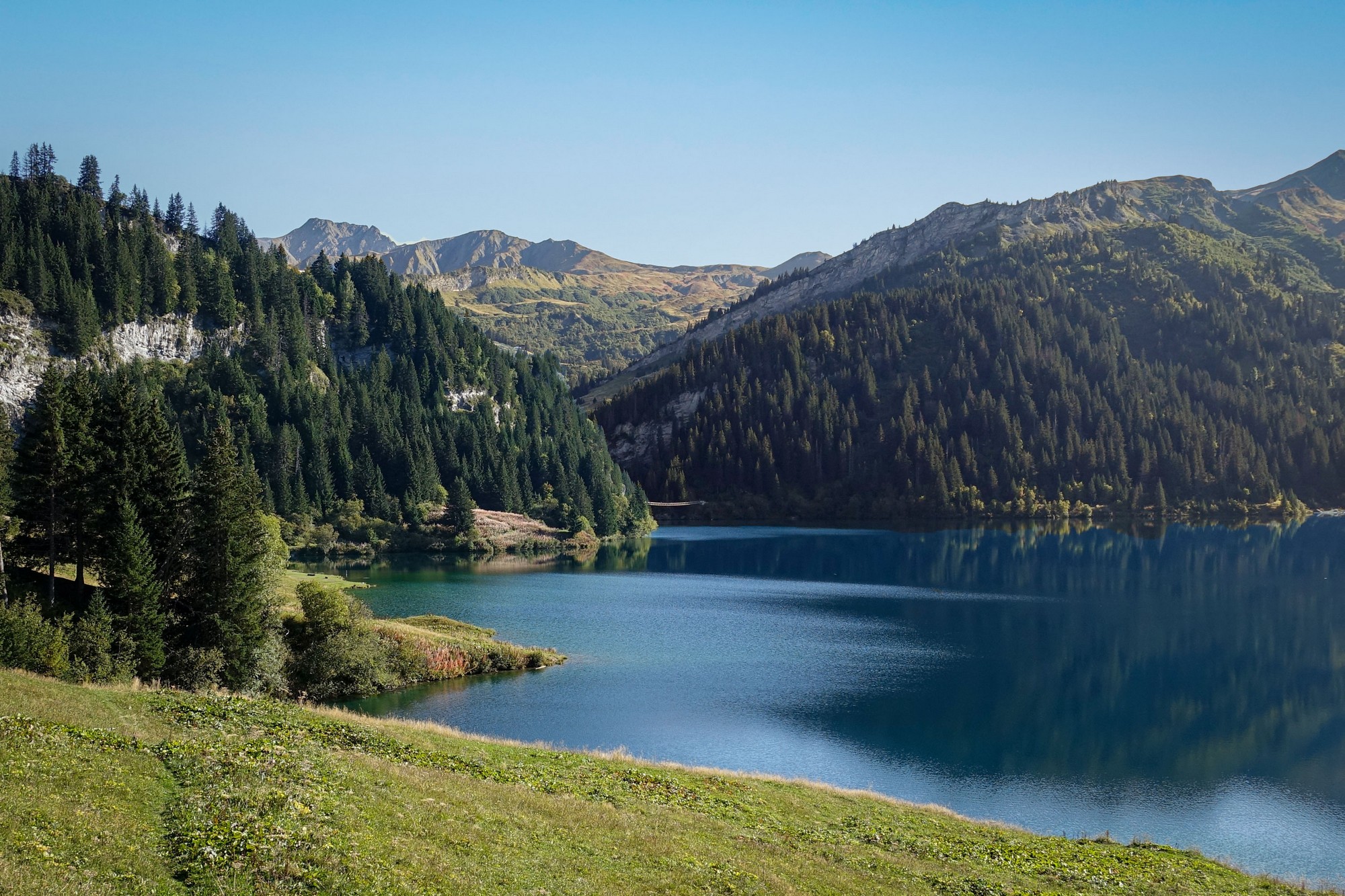
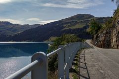
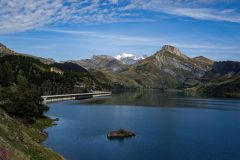
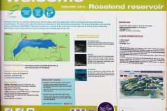
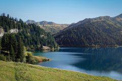
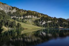
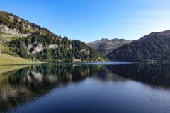
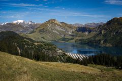
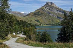
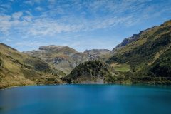
Once through the tunnel it was just a mile and a half before I reached Lac de Roselend. I stopped and took in the view. To my left I could just see the chapel on the far shore where I had eaten my lunch a year ago on my ride from Bourg-Saint-Maurice via Cormet de Roselend. This year the lake’s water levels are high so it looks much nicer.
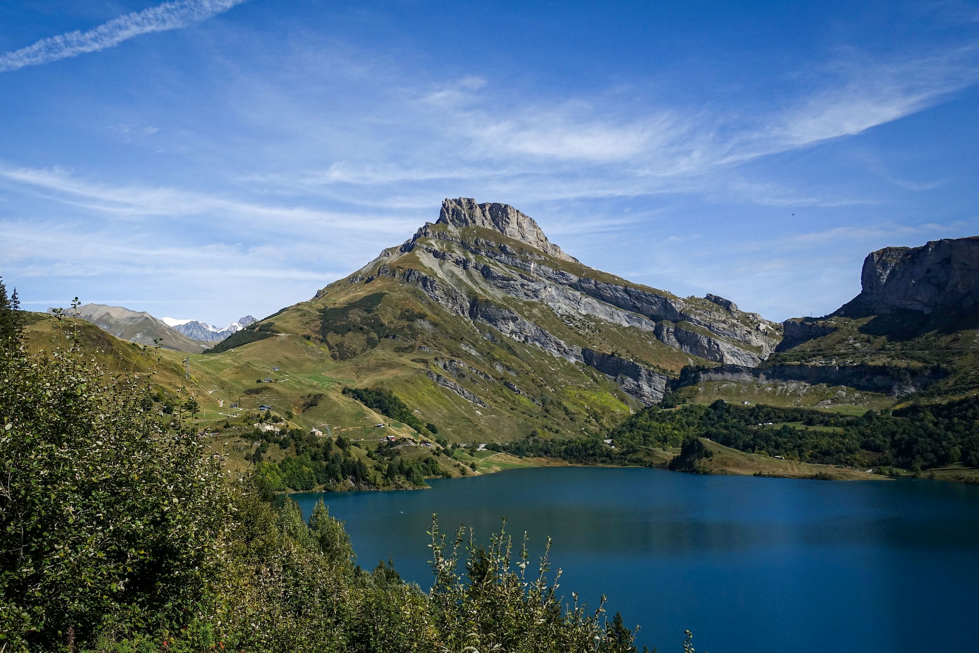
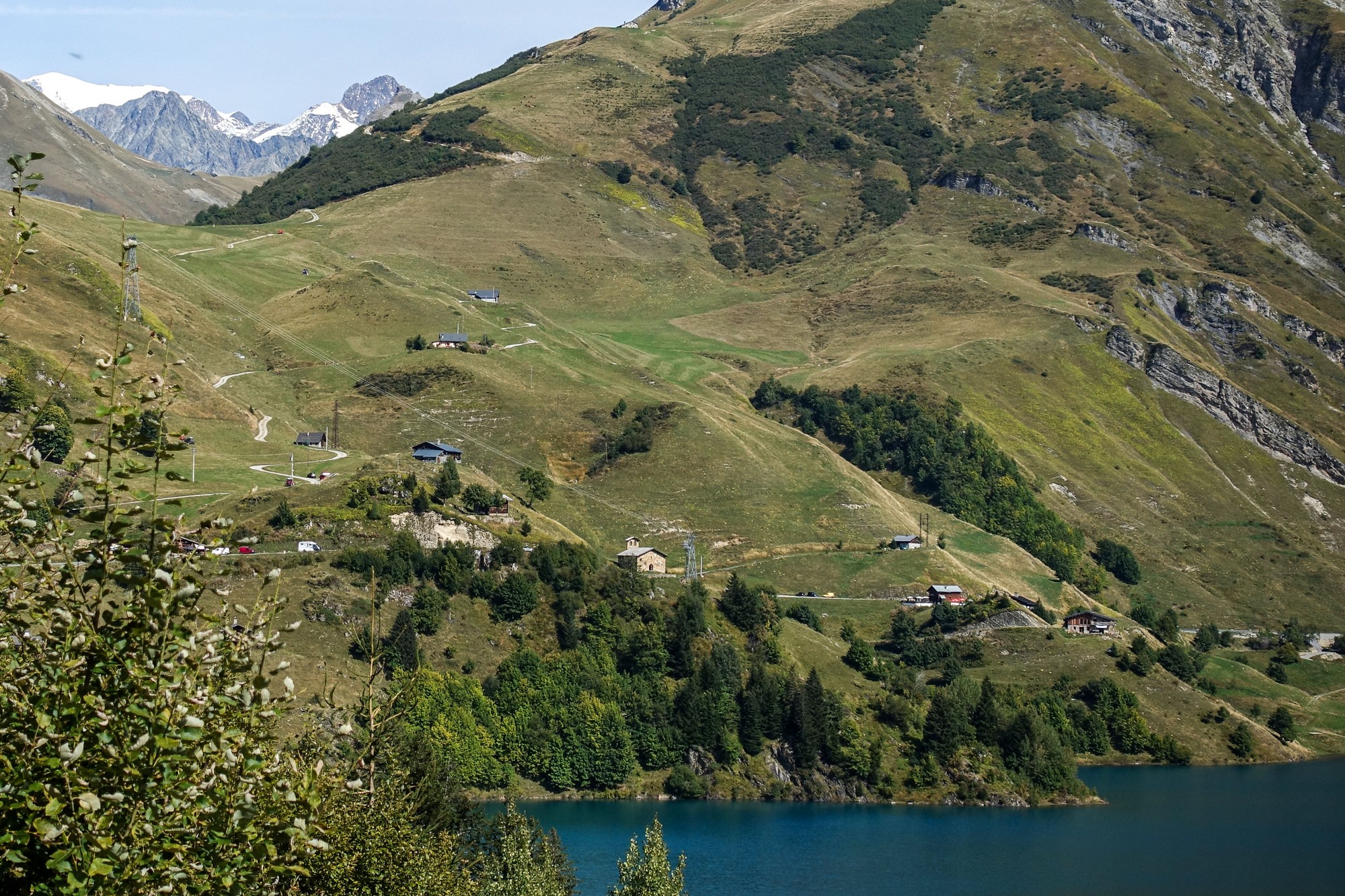
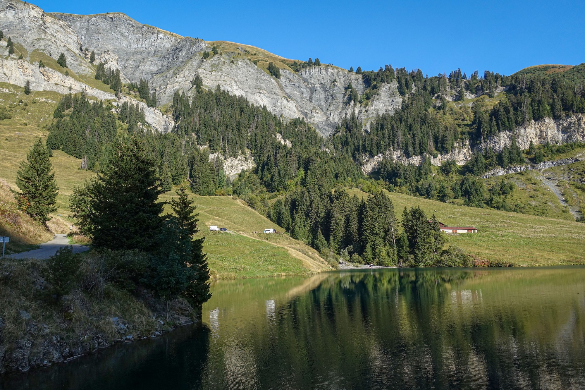
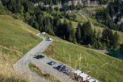
It would have been nice to visit the chapel again, but I stuck to my plan and headed in the opposite direction towards the dam. Shortly along that stretch I noticed a spot by the lake with some camper vans
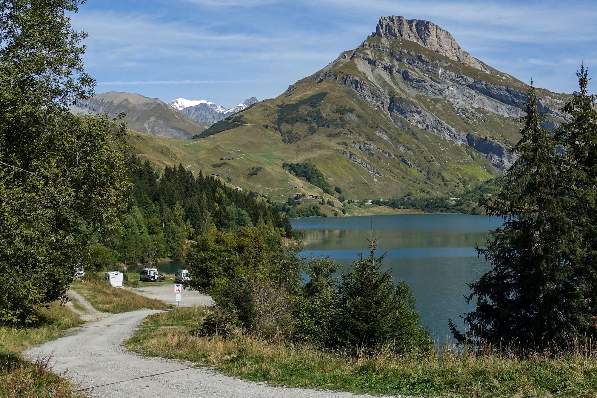
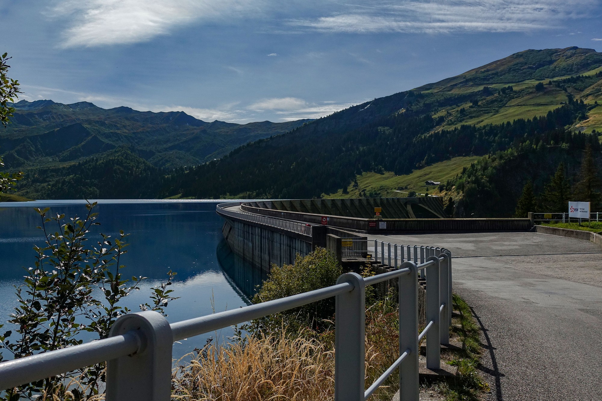
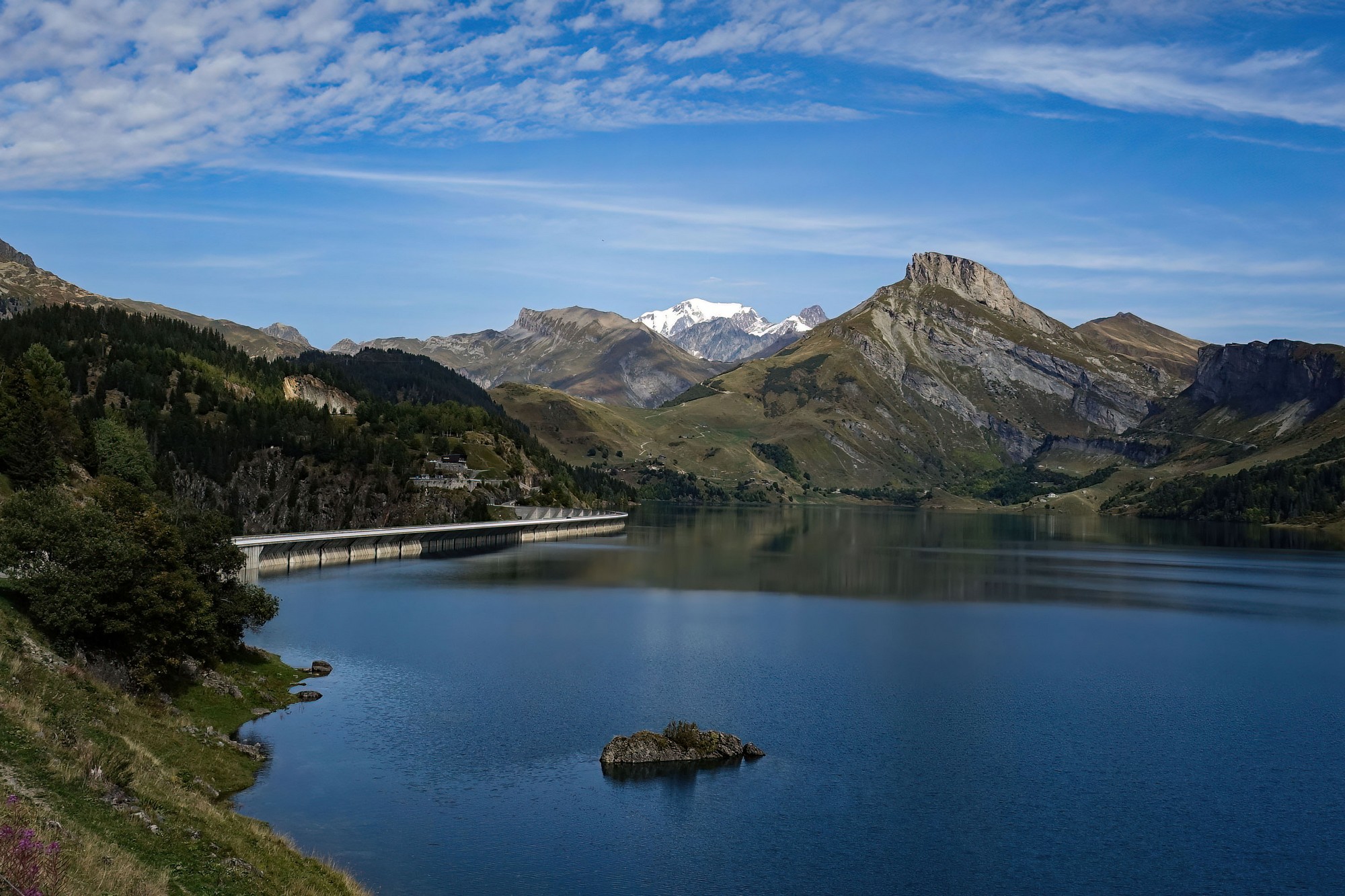
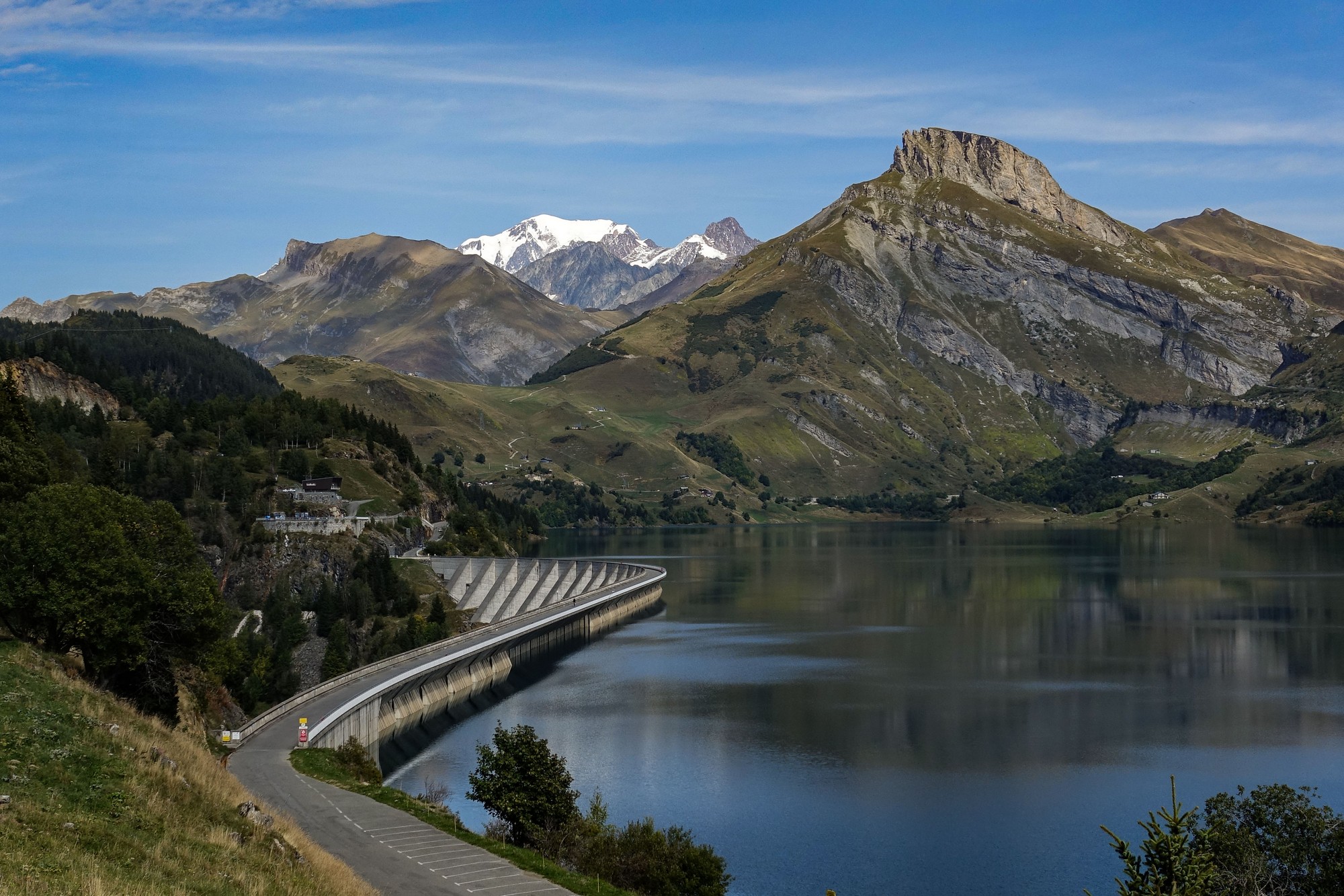
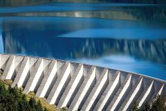
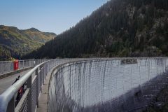
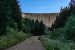
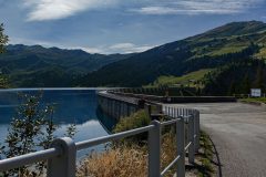
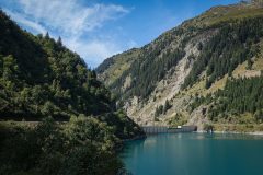
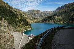
Soon I’d reached the dam
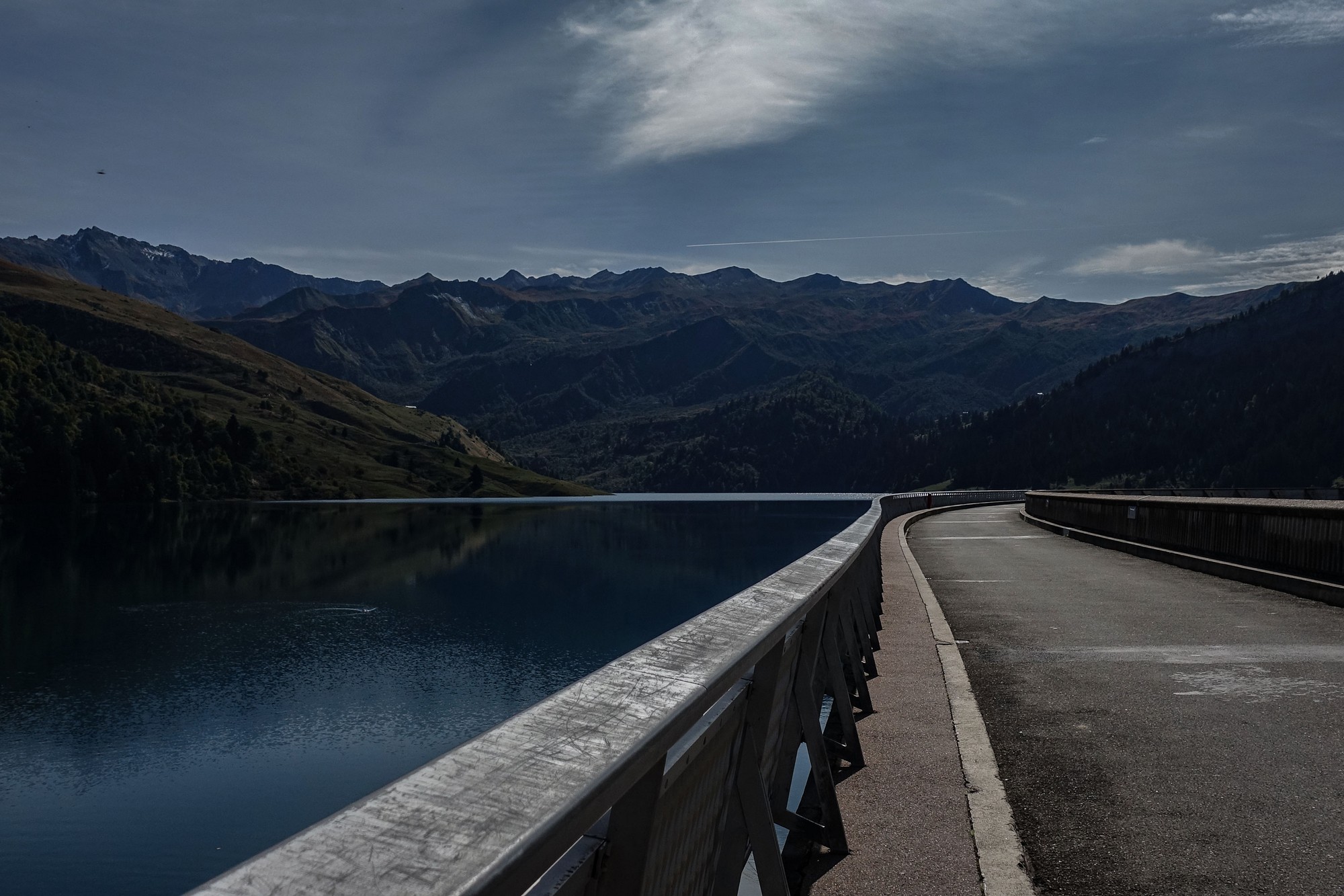
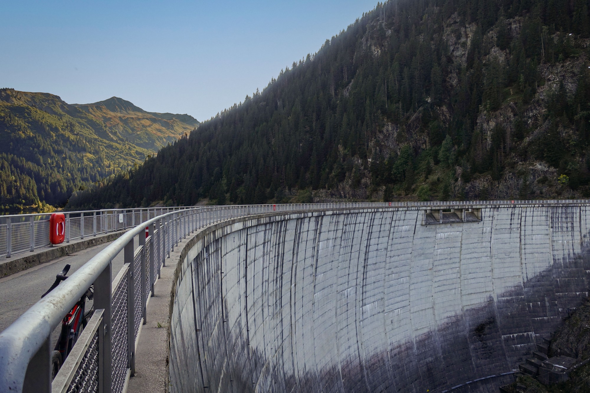
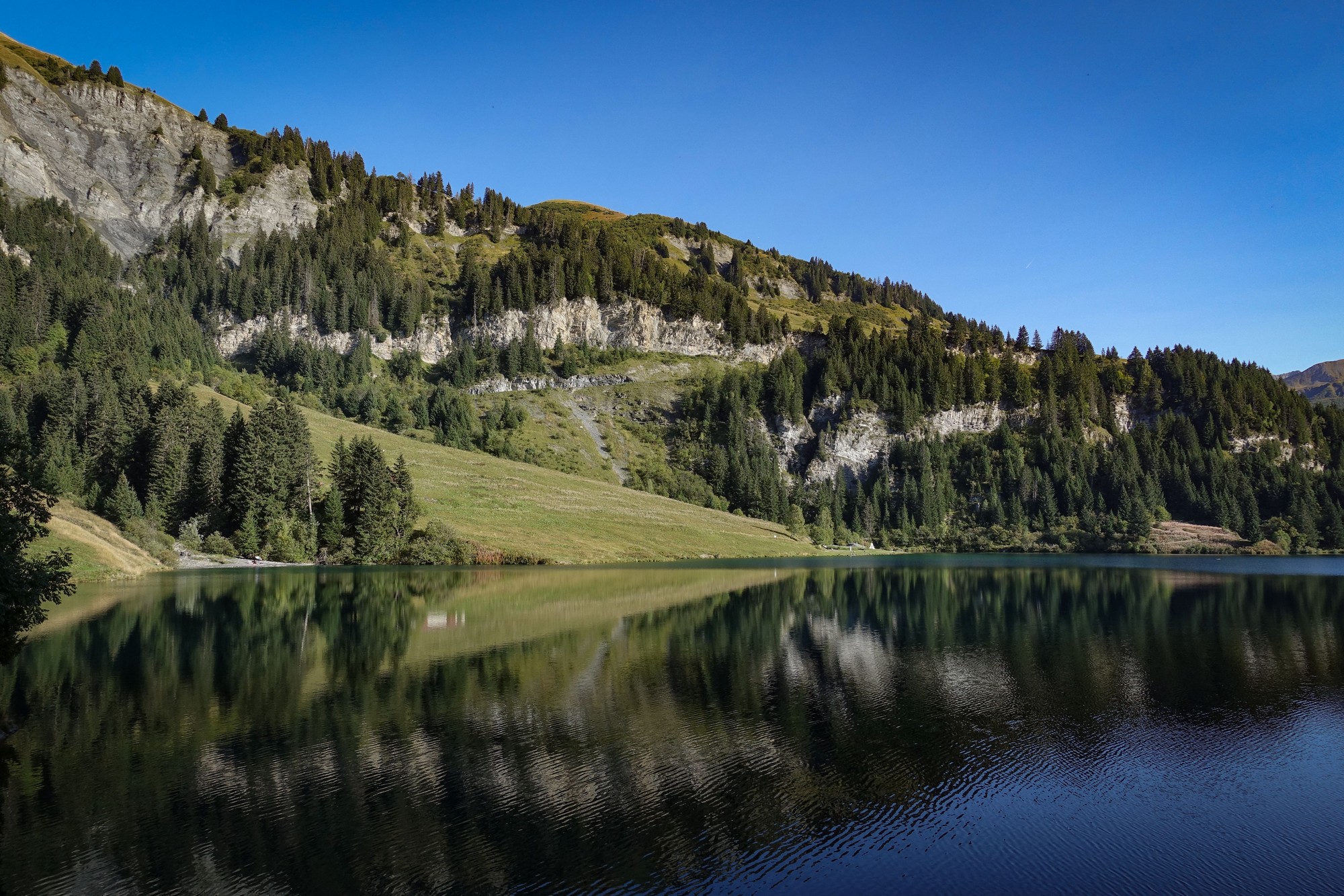
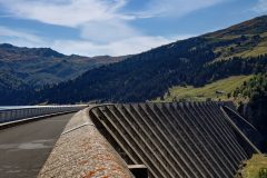
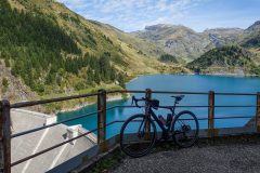
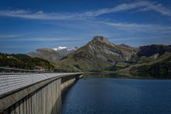
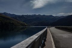
I rode across the dam stopping frequently for photos. It was very photogenic.
Over the dam I took a break to eat my sandwich while taking in the view and getting a few more photos
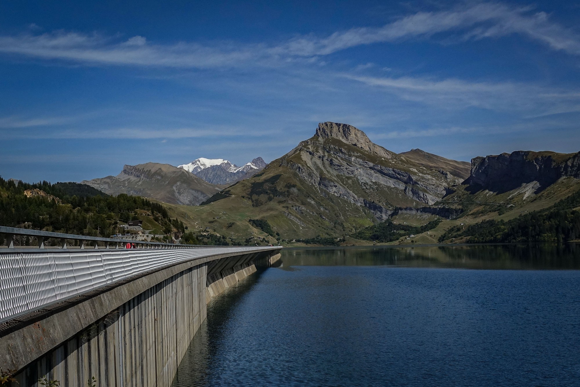
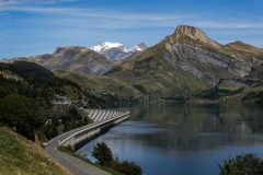
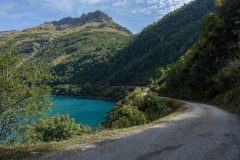
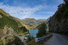
A short way along from that point the road climbs away from the lake towards Col du Pré. Inevitably there were further photo opportunities from the more elevated viewpoint.
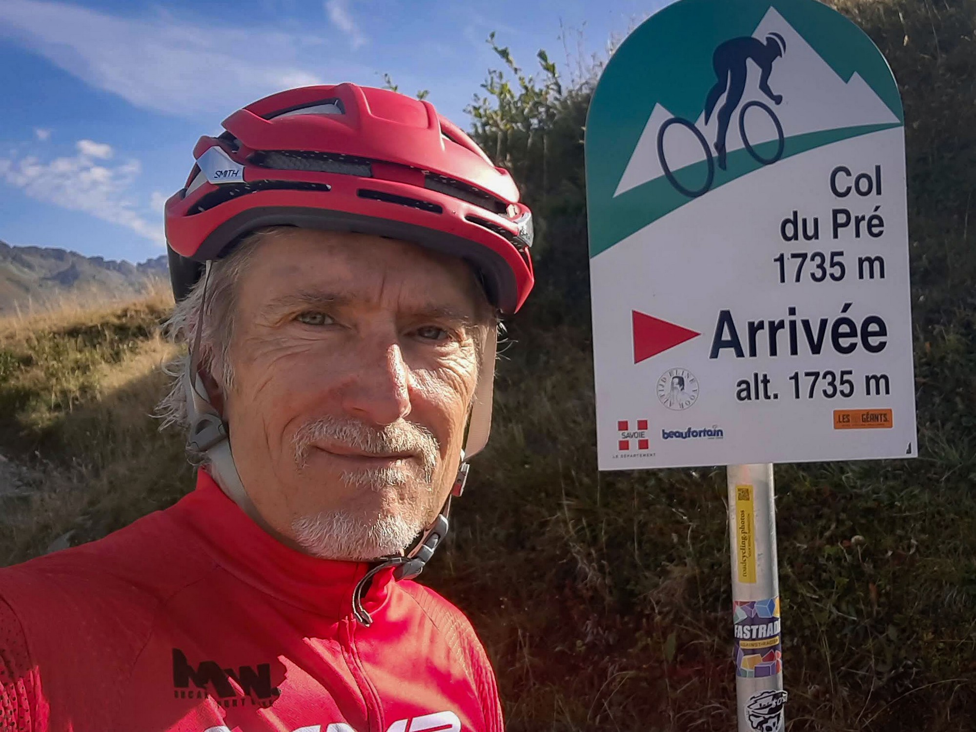
Views of the dam eventually ended and after a mile at 8% I reached Col du Pré.
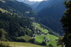
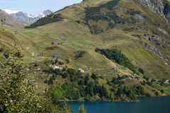
The descent from Col du Pré back towards Beaufort was very steep, with wonderful views over the surrounding valleys, the grassy hillsides dropping sharply away from the road edge.
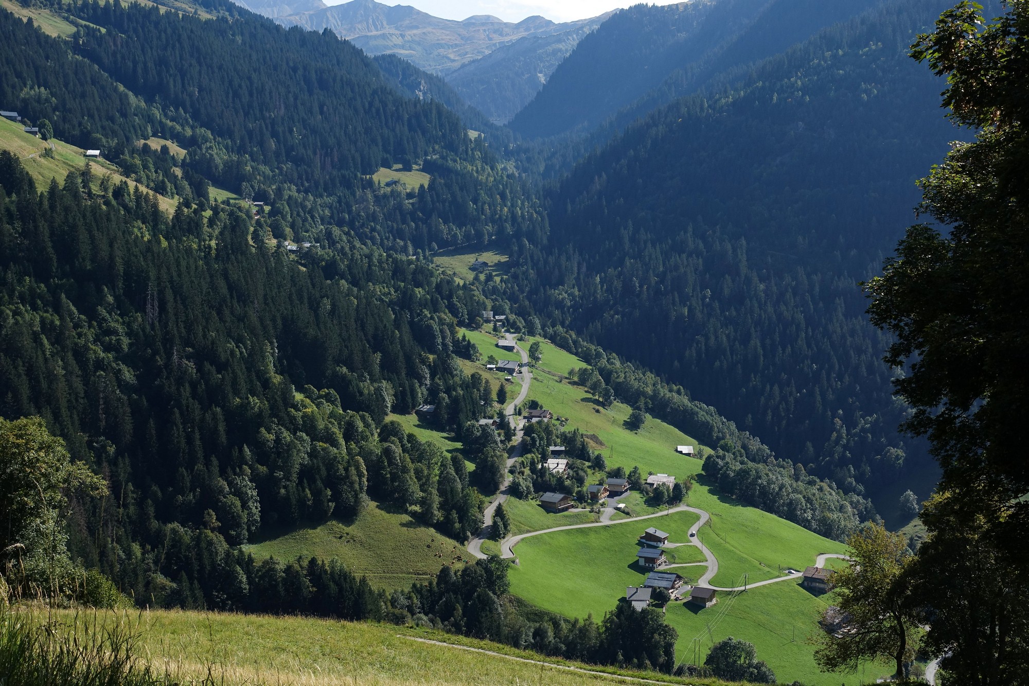
After 3.5 miles at 10% down from Col du Pré I arrived at the turn-off to the third and final lake of the day, lac de St-Guérin. I knew it would be a tough climb but I felt I had enough energy left to take it on.
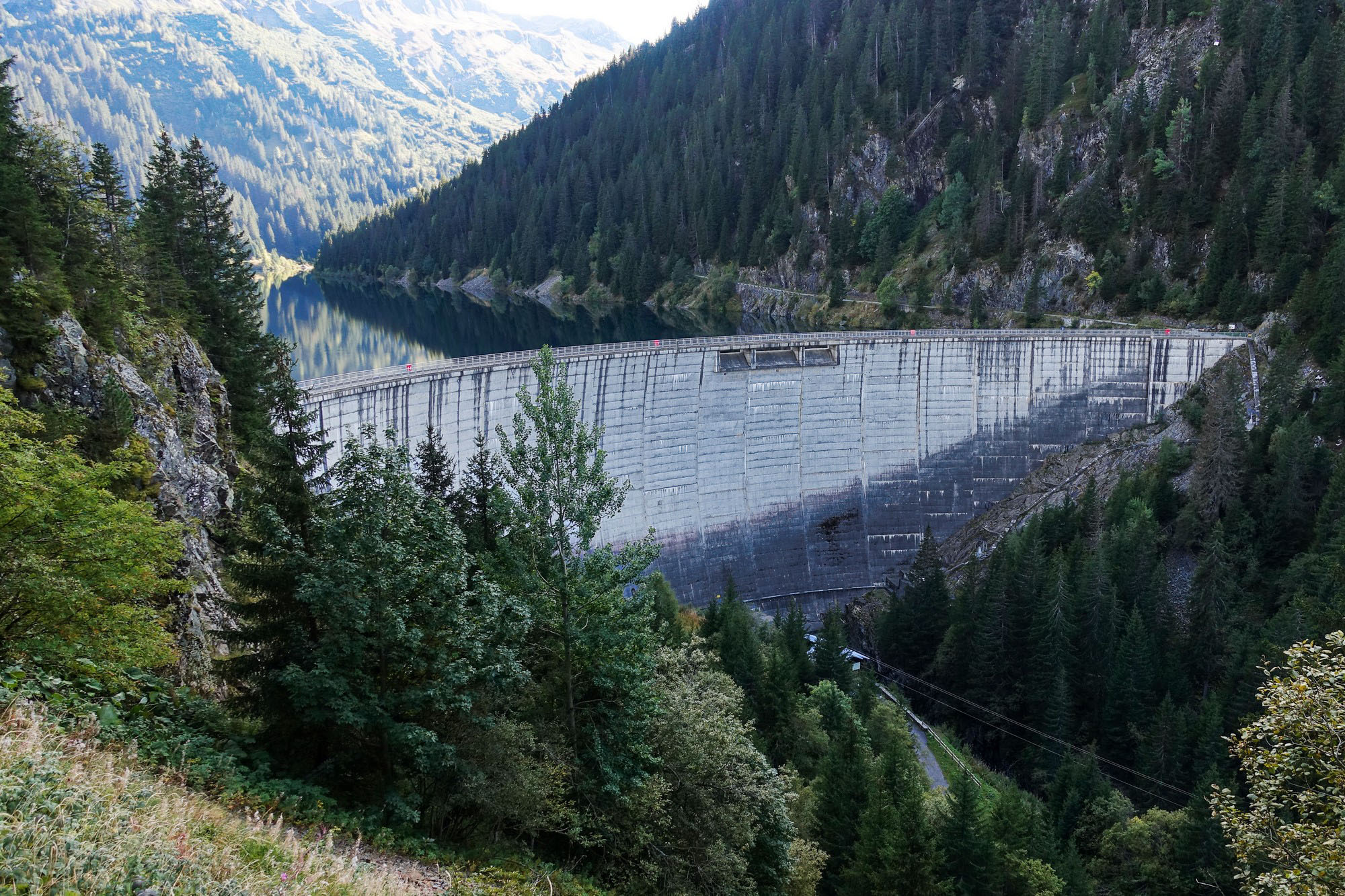
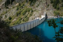
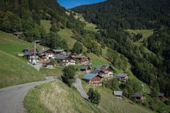
It was a 3.5 mile climb at 8% avg but with steeper bits in there. The road sweeps up the valley past clusters of chalets at first, and then through a mixture of forest and pasture, after which the dam wall looms into sight, dead ahead.
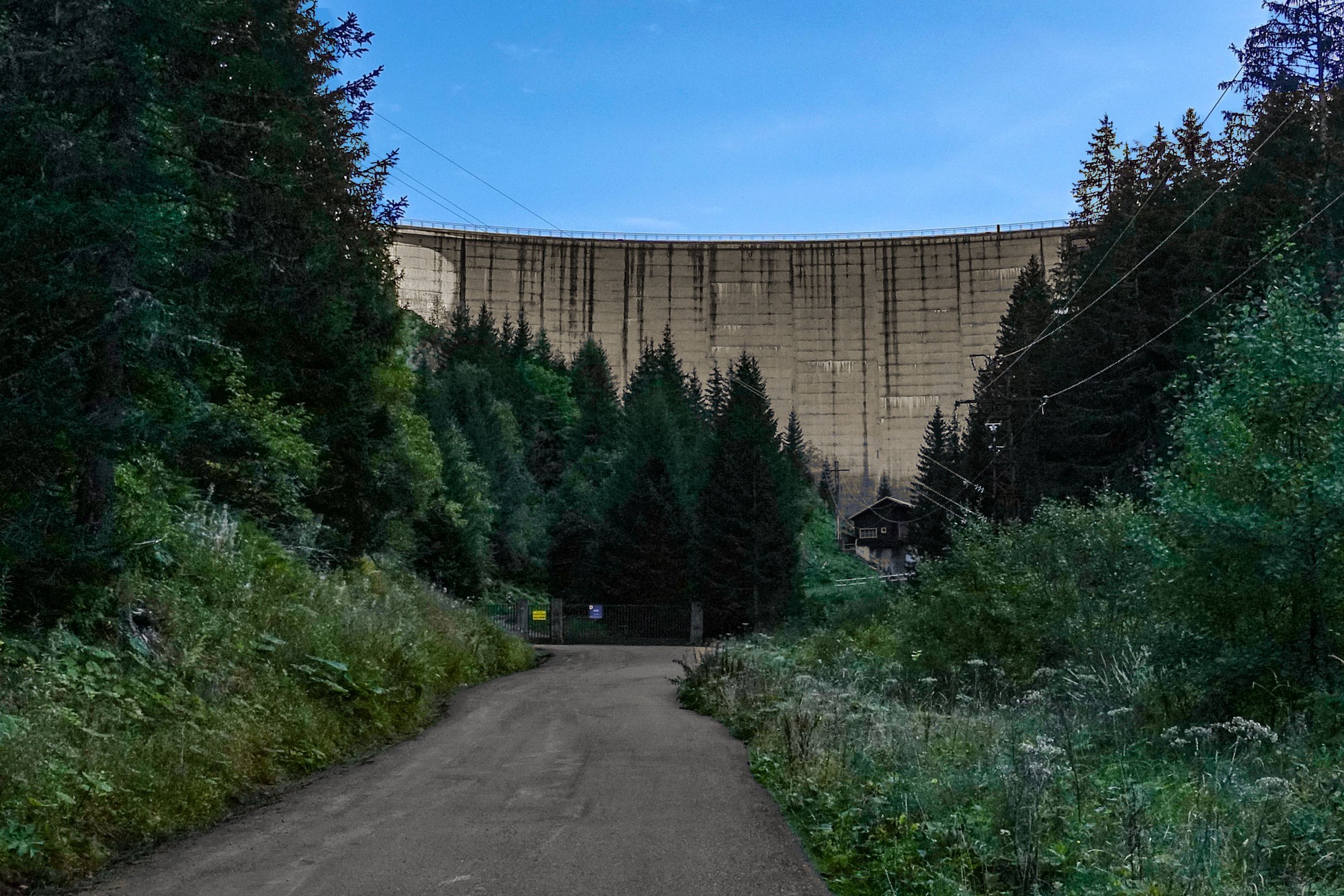
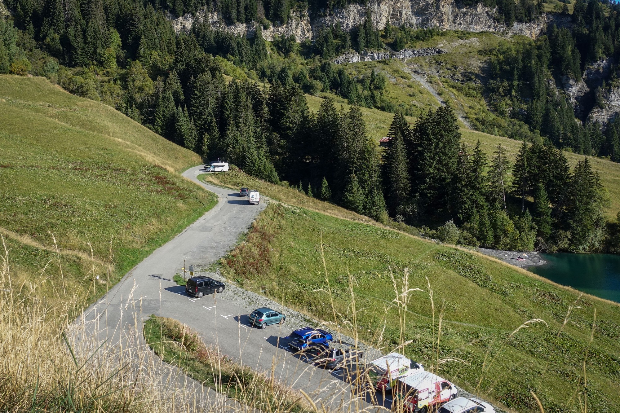
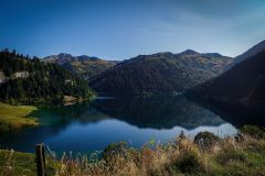
The road then turns back on itself to the left and scales the hill over the course of a mile as it climbs to a position above the top of the dam wall and looking down on the beautiful Lac de St-Guérin.
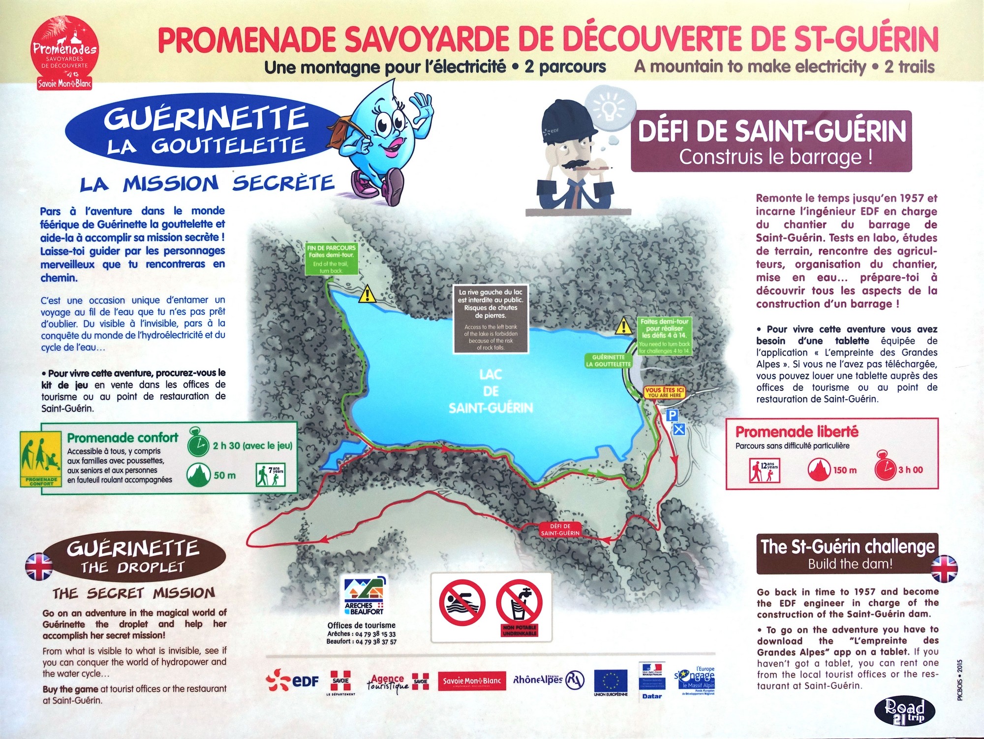
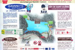
There are walks around the lake and a couple of games available on an app, if you have a tablet, or you can hire one from the local tourist office or restaurant!
There is a suspension footbridge on the far side, visible in the centre of the photo below.
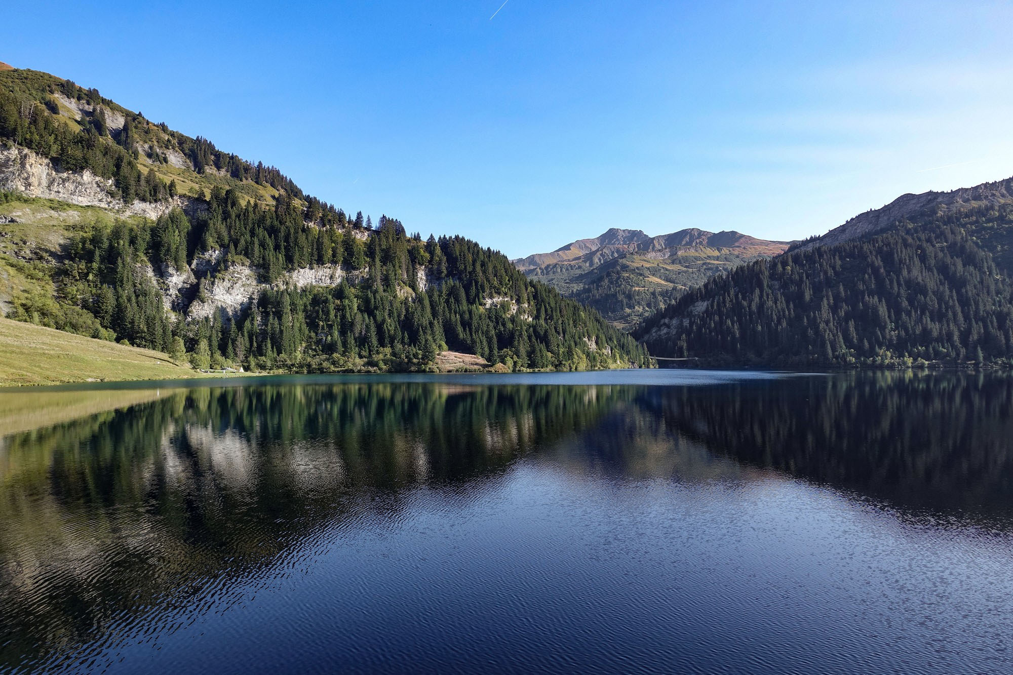
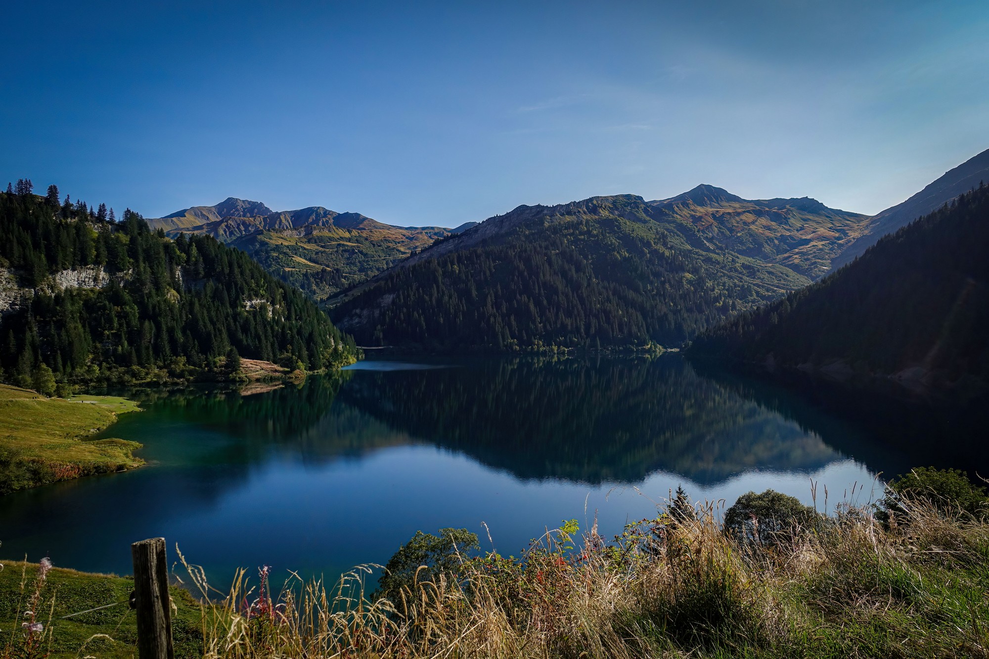
I spent about fifteen minutes wandering around the lake, getting photos.
[There is a small road from here that climbs to another much smaller lake, Lac des fées, and then onwards, on gravel, to Cormet d’Arêches, at 2,107 metres. I only discovered this later, and I have now planned a loop via Bourg-Saint-Maurice, Cormet de Roselend, Lac de Roselend, Col du Pré, Lac de St-Guérin, and then over the Cormet d’Arêches and back to Bourg-Saint-Maurice. Hopefully I will be able to ride that route in the next couple of years.]
Leaving the lake behind, there was just eight miles of wonderful, but quite steep, descent back to Beaufort, with beautiful views over the valleys.
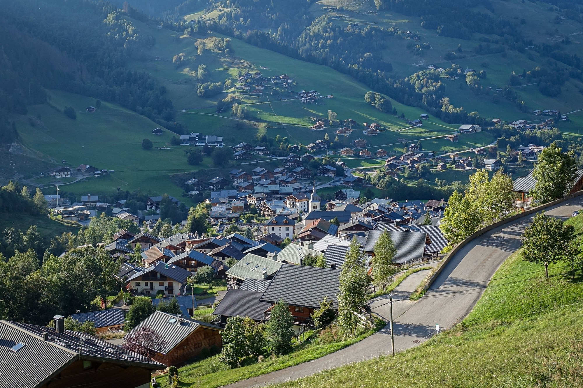
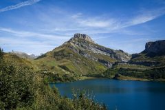
What more can I say? Scenery-wise, there are few sights more beautiful than a mountain lake bathed in sunshine. And I got to see three in one ride! And fortunately they were all full, which really improves the look I think. One thing I regret is not taking my drone out with me today – still, I can use that as an excuse to revisit this route at a future date!
I’ve really enjoyed my brief stay here in the Savoie department, at the heart of the Beaufortain, and will definitely be back. I have designed several more routes based around here. I might even take on the tough climb to Col du Pré from Beaufort – the reverse of today’s steep final descent!
Further reading
- Tourist brochure featuring the Lac de St-Guérin treasure hunts
- EDF développe l’hydroélectricité : objectif 600 MW à La Bâthie Savoie
(youtube video showing sped-up footage of components of the hydroelectric power station being installed) - Development of Roselend – La Bâthie
Fascinating video about the Roselend – La Bâthie hydroelectric system (in French but you can get YouTube to do real-time translated subtitles)
Gallery
Click to enlarge / see slideshow


















Thanks once again for giving us something to dream about Vince! This looks like a great route and I’d be interested to know what kind of bike/tires might be needed to get over and down the Cormet d’Arêches?
Cheers
Martin
Hi Martin, Thanks for your comment.
I’ll let you know when I’ve done it!
Haha, no seriously, I’ve seen photos of road (touring) bikes propped up against the col sign, so I’m guessing that good 28mm tyres would be minimum recommended, with gravel bike (with 35mm +) preferable.
Cheers
Vince