Distance: 54.6 miles. Elevation: 6,495 ft.
Col du Bockloch | Col de la Vierge | Col de Bramont | Col du Moorfeld | Col du Haag | Geishouse Höh | Col d'Oderen
Le Grand Ballon is the highest mountain of the Vosges at 1,423.7 metres (more info here).
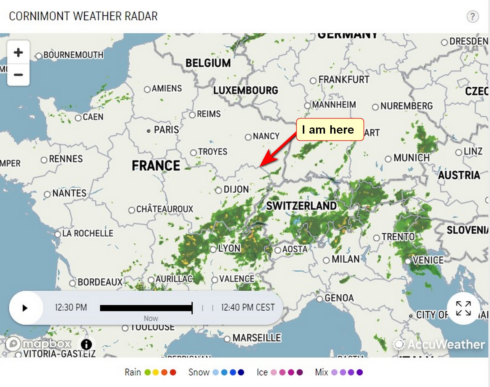
I was in a real dilemma whether to do today’s ride to le Grand Ballon because there was a 50% chance of rain. It had already been raining this morning. Looking at the weather radar page it looked like the band of rain was largely to the south of where I am and didn’t look like it would affect me.
So I quickly made a decision to ride. I hastily got my bike and gear and supplies ready. I left at the relatively late time (for such a long ride) of 13:20
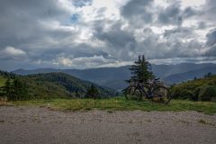
I used my gravel bike and wore my ‘civvy’ cycling shoes because of an off-road climb/walk at the top of the mountain.
The following reports were made, dictated into my phone, during the ride.
14:33
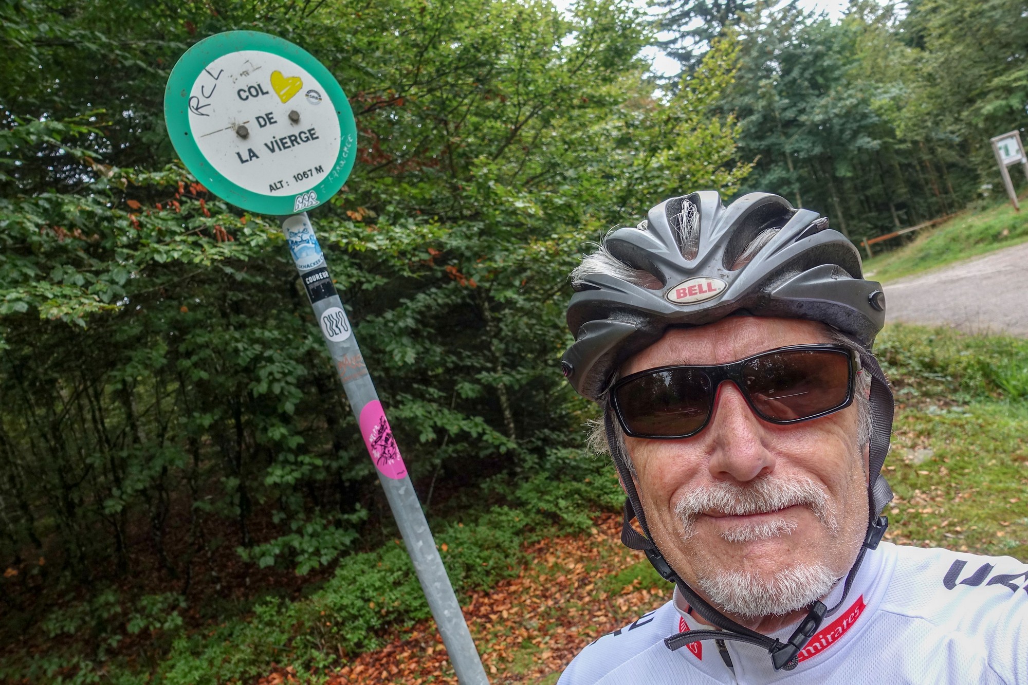
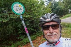
I’m standing at the col de Vierge and the air is dead calm with a threatening grey sky.
As I left Cornimont my Wahoo bike computer bleeped to announce that I had started a climb to a summit and that it was 7.5 miles to go. I found it quite amusing. You don’t get long climbs like that back home in Kent. I did the whole climb through the forest in one go. For the first 50 minutes I didn’t pass a soul. It was just me and the quiet forest – no excited birdsong at this time of year. I was thinking I was going to get all the way to the top without meeting anyone at all and I was preparing the words for the blog in my head to that effect.
Then a guy on a mountain bike descended past me and shouted “Courage!” to my “Bonjour!” (“courage” means good luck). I seemed to remember he was wearing John Lennon sunglasses and a beret, but you know how the mind plays tricks. A couple of minutes after that, I passed a couple of German hikers and then shortly after that a car went by. Here at the col there are about five cars parked where people have gone walking in the forest. The air is cool but very damp so I’m just about to put my rain jacket on for the next bit of descending. There is not a breath of wind. I can hear what I think are drops of rain on the trees, so it might start raining.
I’m just going to have my banana then I’ll start the descent.
16:32
I’ve stopped here at the first place where the forest finally opens out onto pasture.
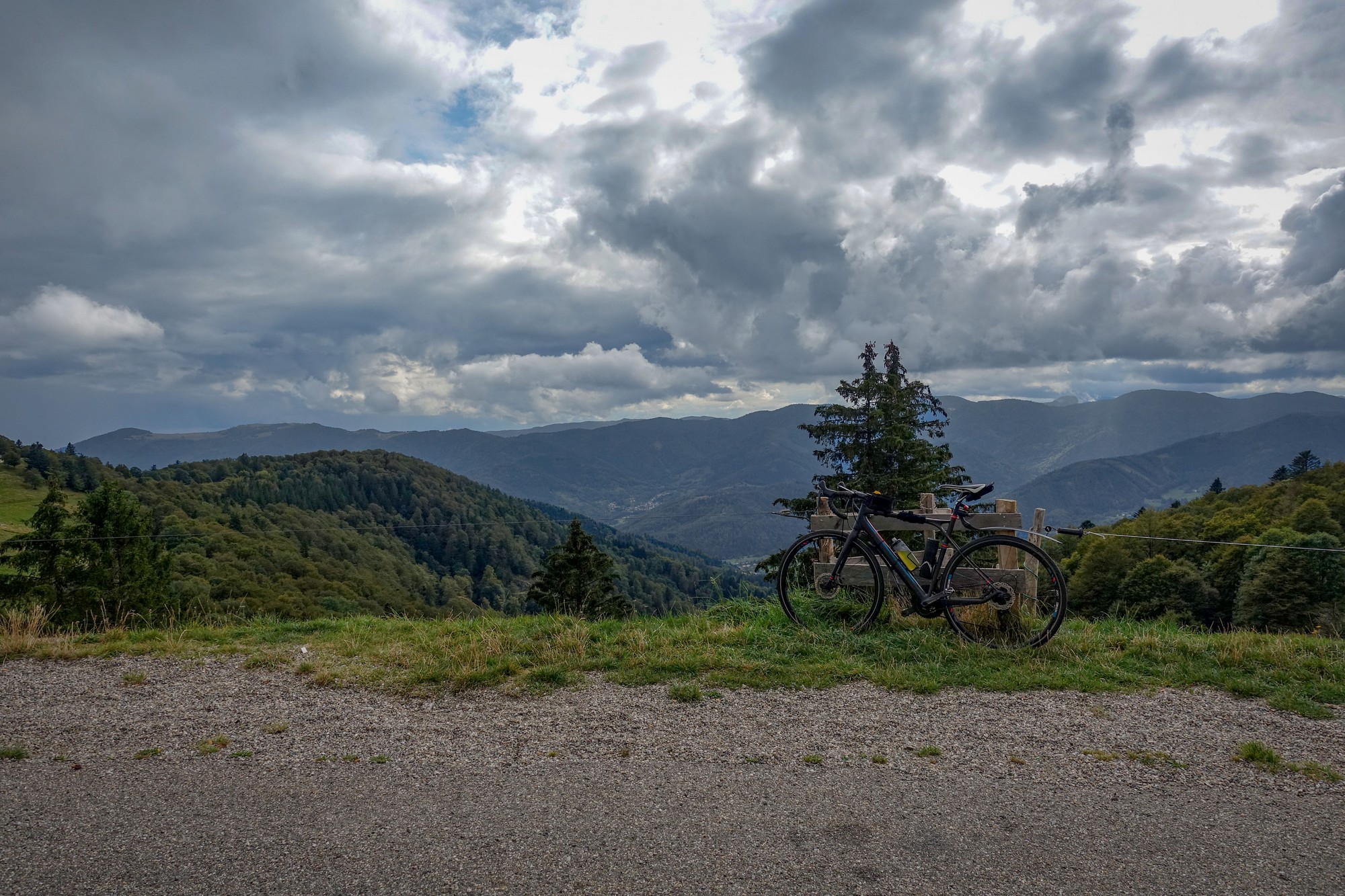
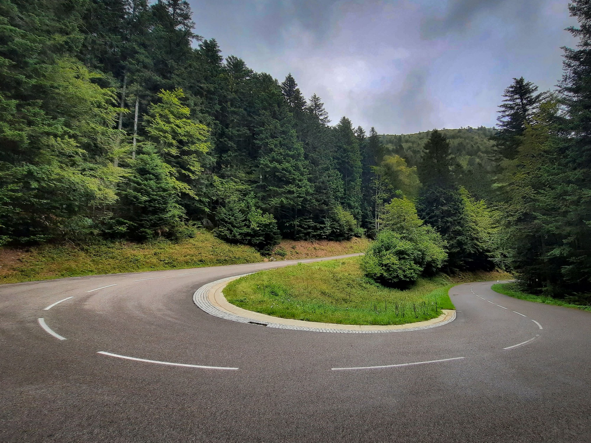
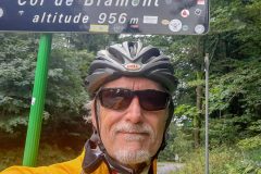
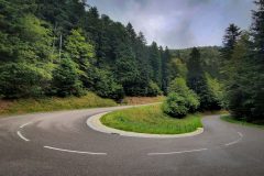
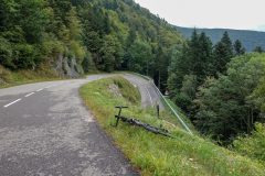
The descent from col de Vierge was on a fairly rough forest road. That came out at the Col de Bramont after which there was an amazing descent on a perfect road sweeping through hairpins down to Wildenstein.
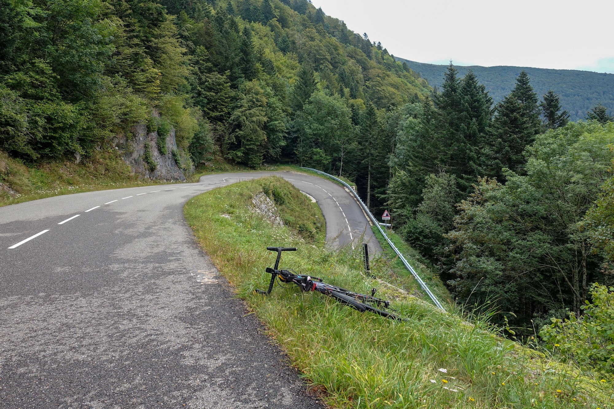
I’ve done that descent before; this time I wasn’t plagued by flies or motorbikes.
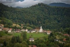
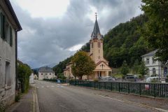
I stopped to take a photo of the church.
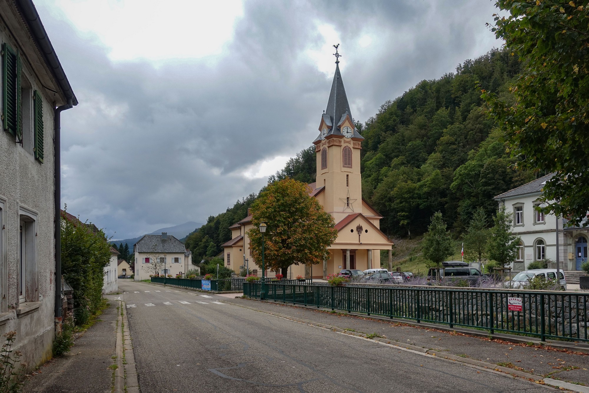
As soon as I raised my camera, the clock struck 3. I couldn’t believe it – again I had arrived somewhere exactly on the hour. I let out a chuckle of incredulity.
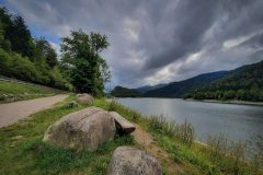
After leaving Wildenstein, this time I didn’t go around the back of the lake; I stayed to the east.
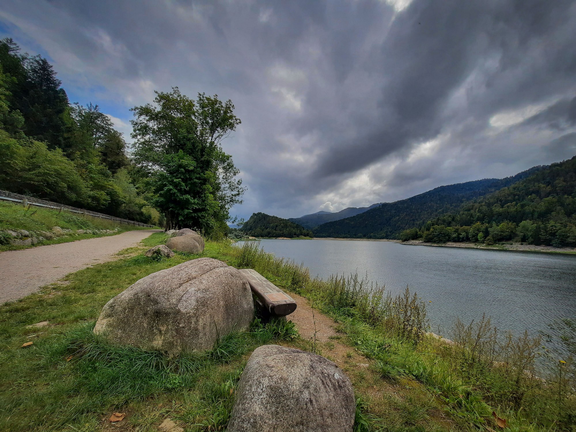
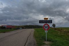
I soon took a turning heading away from the lake towards Le Markstein. The road immediately started climbing. This time the announcement from my Wahoo was even more hilarious as it informed me that I’d just started a 13½ mile climb! Shortly after, I glanced at the Wahoo and saw that it indicated I was on an 8.5% gradient. I thought ‘that can’t be right, it doesn’t feel that steep’, but then I looked down and saw that I was in my lowest gear, so it was right. It was one of those roads that don’t look as steep as they are.
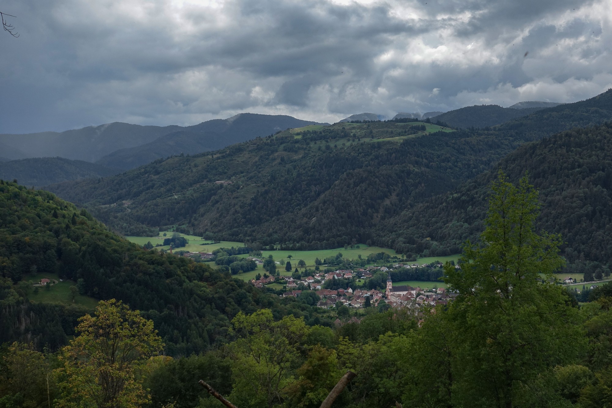
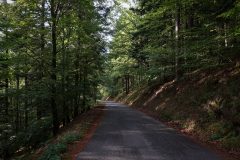
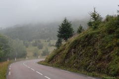
So I’ve been slogging my way up through the forest for the last hour or so with the scenery never changing – just trees to the left and right of me on a perfect road surface. The gradient has been undulating and, frustratingly, the Wahoo doesn’t seem to report accurately the gradient of the particular section coming up, which is a bit annoying.
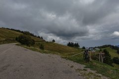
So at last the forest has given way to pastures and more spectacular scenery. It looks like I’m coming near to the top of something but I don’t really know what’s around the bend just up ahead. Hopefully Le Markstein is not too far now.
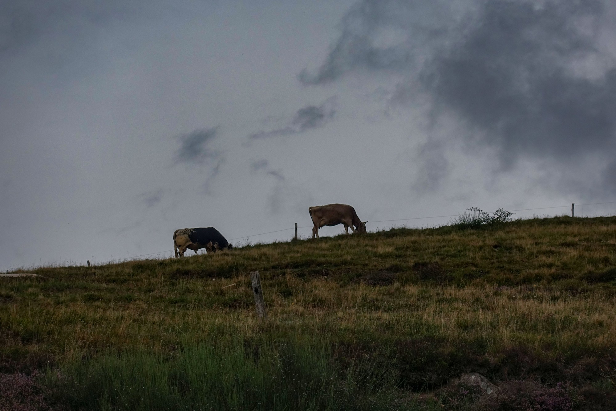
The air is cool with the temperature in the high teens and so far the rain has held off. I had taken my rain jacket off again near the start of this climb because I was just too hot. Looking around me from this fairly high vantage point the weather doesn’t look too bad in any direction. Sometimes the sun has popped out for a few seconds. The only sound I can hear here is the sound of cowbells up on the hill.
And hovering above the pastures is a kestrel. There has been very little traffic on this road – just a handful of motorbikes and the odd car. I’m just going to have half a sandwich and then push on.
Report from end of ride
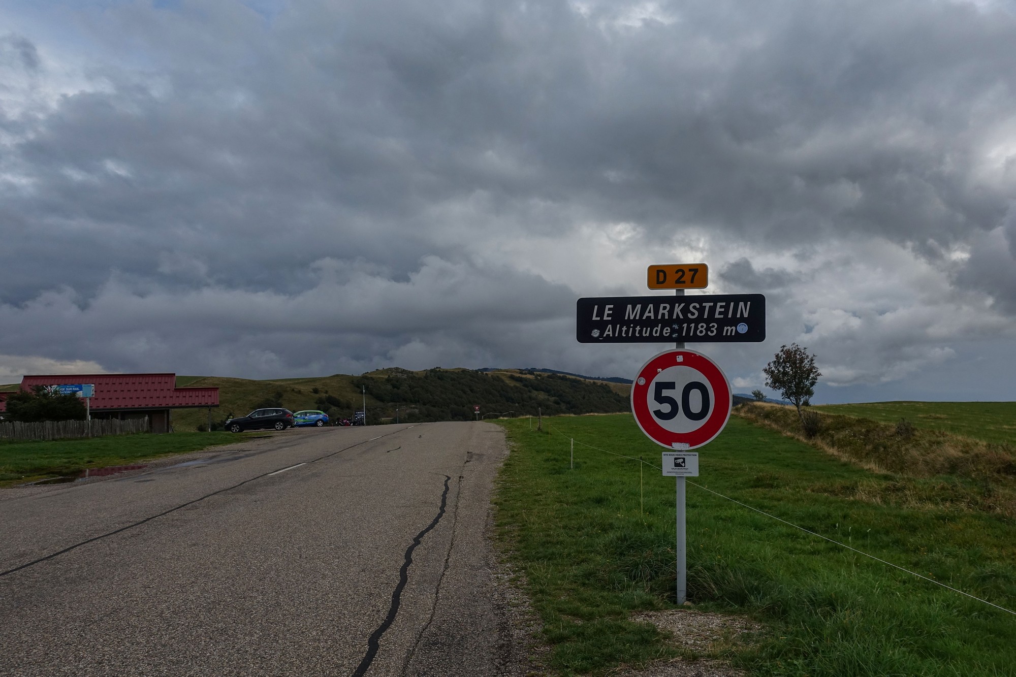
I had been correct in what I’d said at the last report because just round a few more bends was Le Markstein.
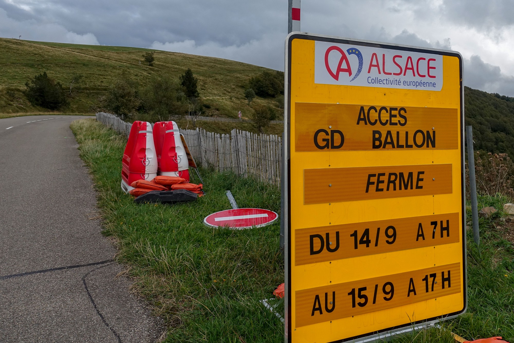
It is a ski station in the winter but now it’s just a couple of big car parks at the crossroads of four roads at the top of a hill. One of the four roads leads to Le Grand Ballon. My heart sunk when I saw this sign (below), but then I quickly realised the dates won’t affect me – in fact it will be closed tomorrow, so that was close!
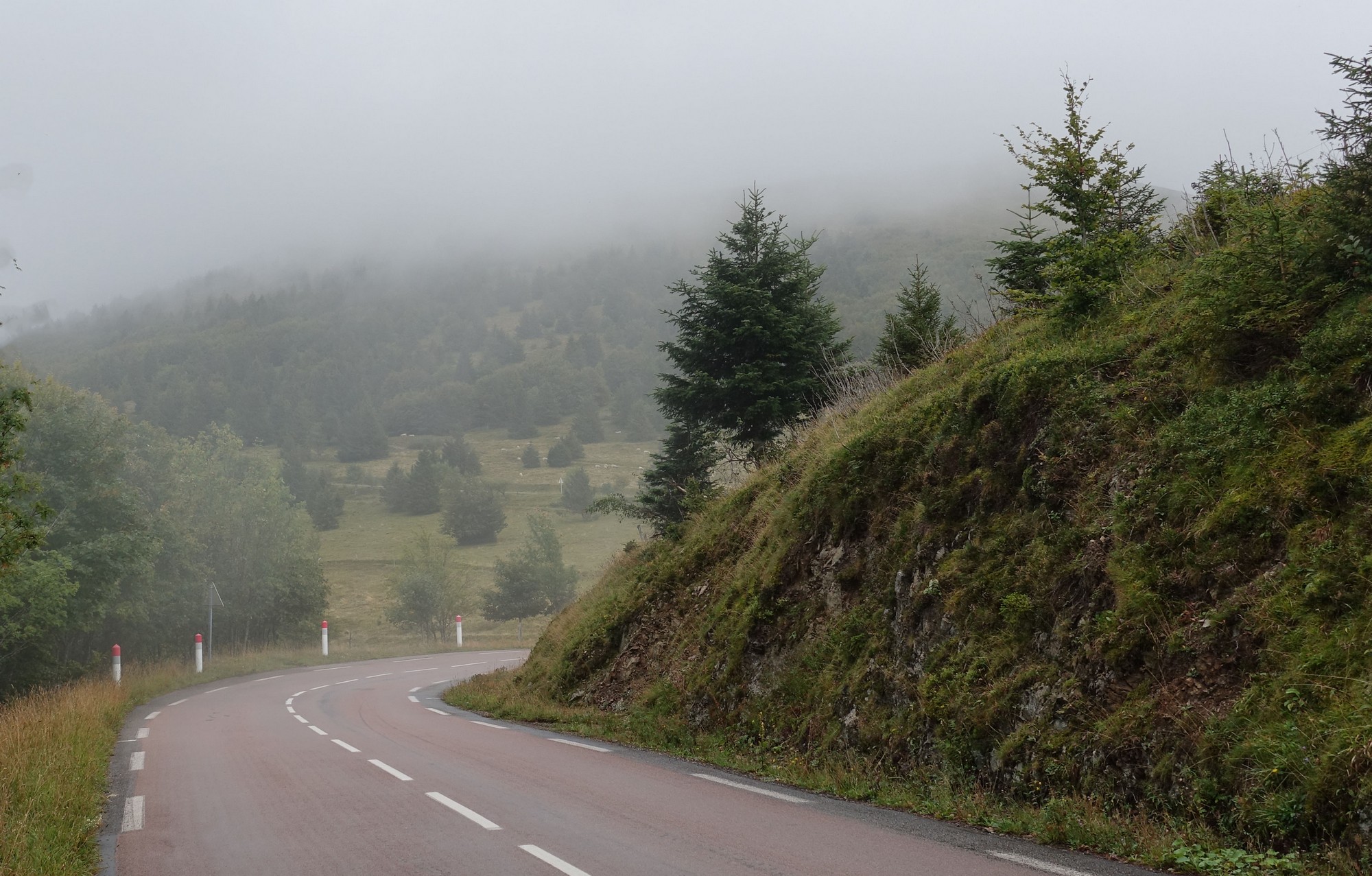
It’s pretty flat all the way from Le Markstein to the turn off to Le Grand Ballon. As I neared my destination, the hills were covered in low cloud.
There is an 8% one mile climb to the col.
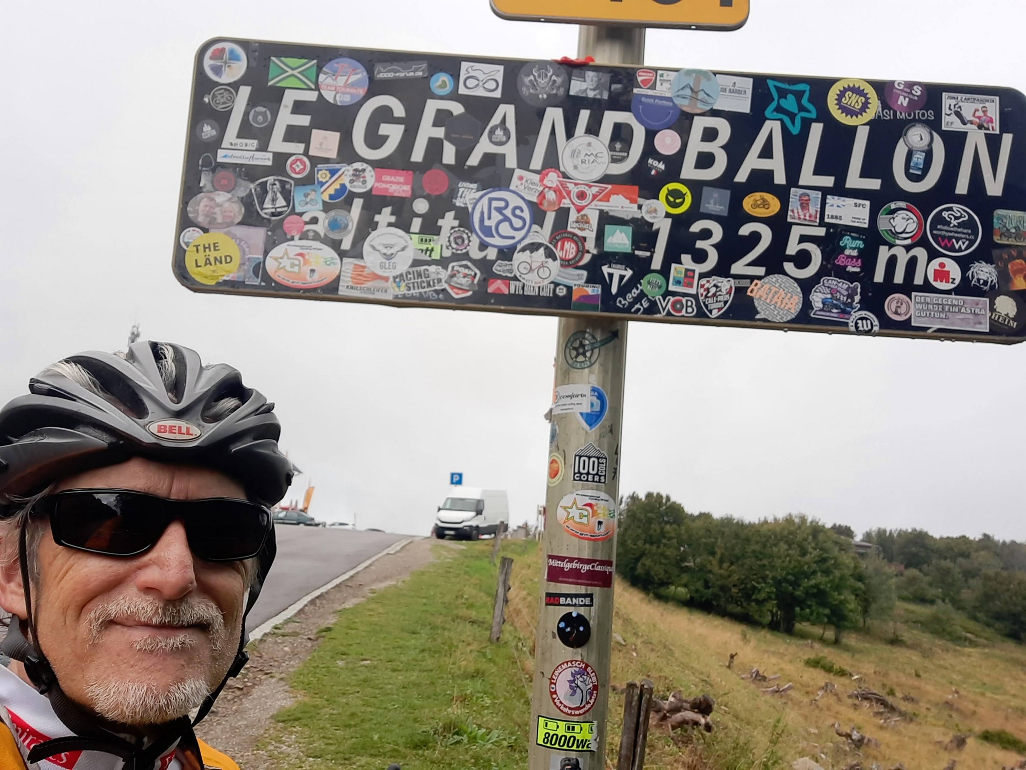
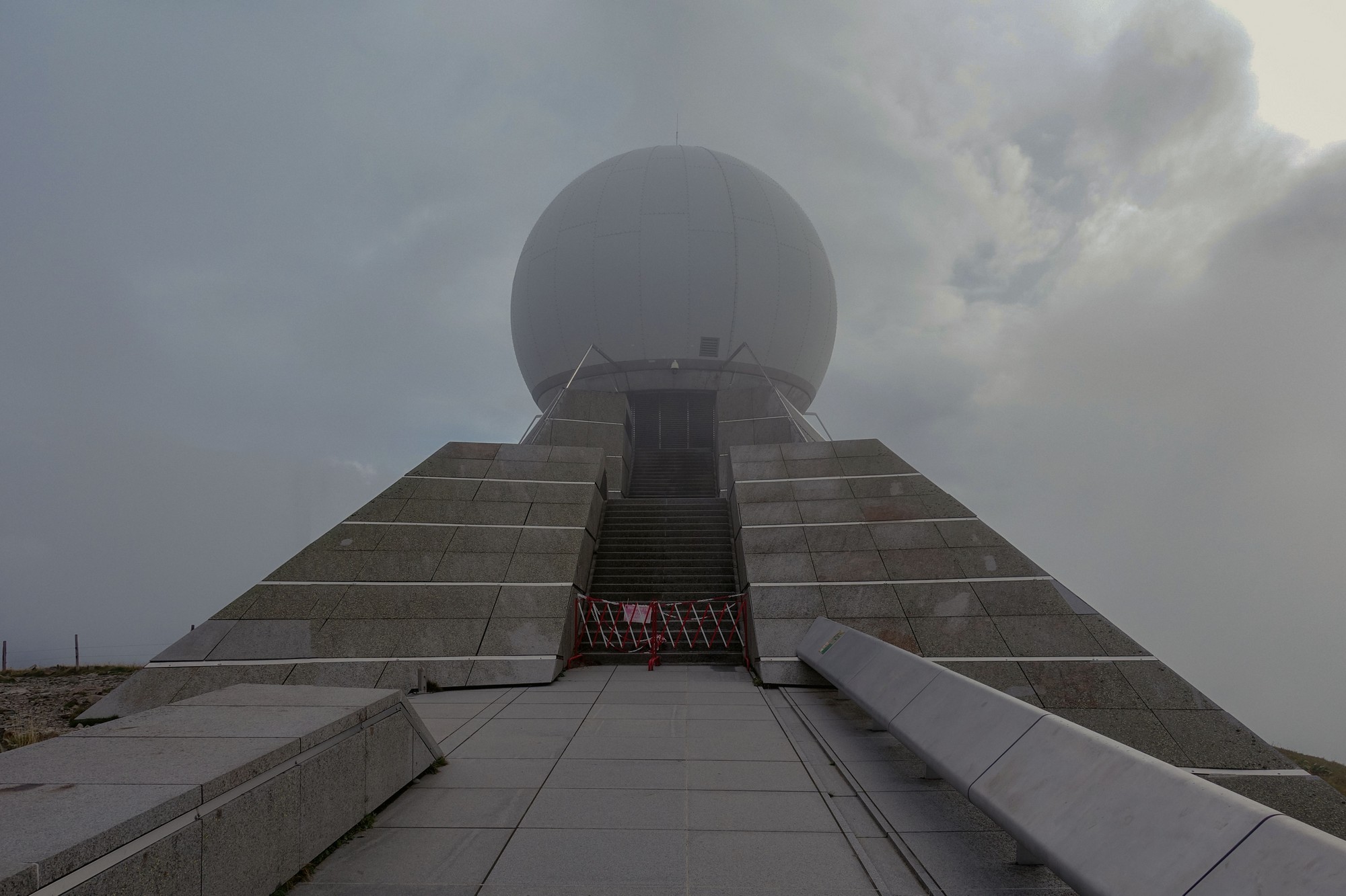
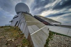
Once I reached the col I knew that there would be a half-mile climb/walk to the radar station on top of the hill. Luckily there were a couple of young walkers whose advice I could ask as to which way up was the best. He pointed in the direction which led to a very steep rocky climb to the top. Needless to say I got off and walked with my bike.
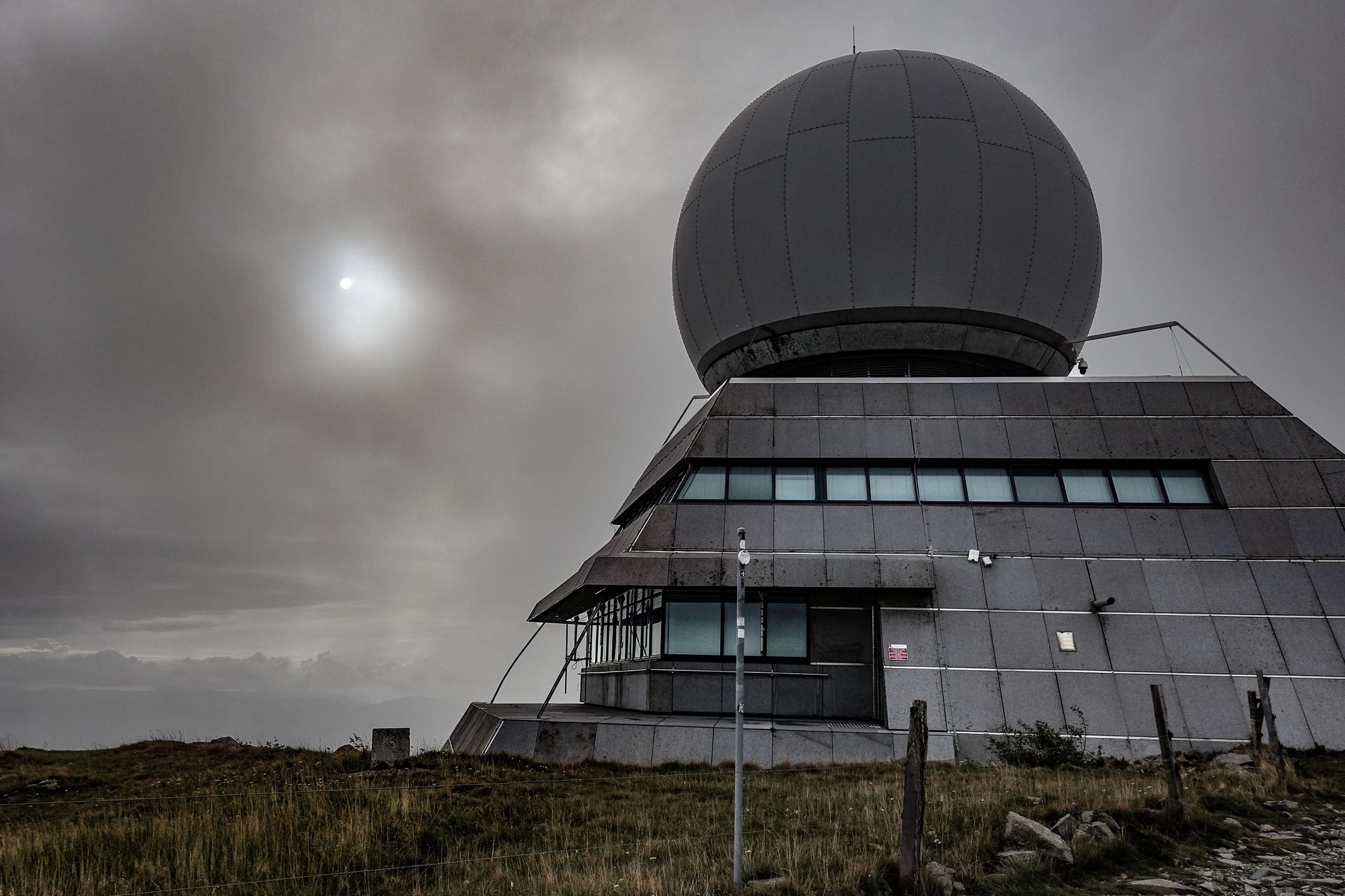
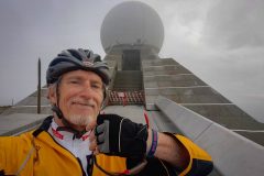
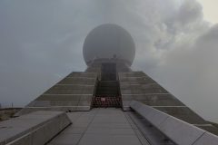
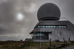
It wasn’t too bad really and I’m glad I did it. Earlier, when I had caught first sight of the radar sphere, I saw that it was covered in thick clouds and I nearly used that as an excuse not to go up there.
The disappointing thing is that there should have been some spectacular views in all directions from that point, but the clouds prevented me seeing anything. There is a restaurant near the col called La Vue des Alpes with reportedly a panoramic view from the terrace, but on this occasion there were no views of the Alps available, unfortunately.
I saw the same couple at the radar station; they’d come up a different way and I asked him if that was a better way to go down but he said it wasn’t.
I got plenty of photos of the radar station but needless to say I didn’t take any photos of the scenery because you couldn’t see it.
Earlier in the ride, probably at the stop just before Le Markstein, I had caught sight of the time on my phone and saw that it was nearly 5 pm which panicked me slightly considering how much riding I still had to do within the few hours before it got dark. So I didn’t really want to hang about up there longer than necessary. Coming down from the radar station I did try to ride my bike over some sections of the rocky path but it just got too difficult and I was worried in case I shredded one of my tires on the sharp rocks, so I walked the rest of the way back to the road.
I came down the road from the col but then saw that the turn-off I had planned to use for my return had a ROUTE BARRÉ sign saying that the road was blocked, and it mentioned 500 metres. I didn’t know if that meant it was blocked in 500 metres,, which is normally the case, or that it was blocked over a section of 500 metres. Either way it made my heart sink because if I couldn’t go down that way then I didn’t fancy the idea of going back the way I’d come. In fact it would take so long it would probably be dark by the time I got back, so I really didn’t want to do anything other than go down this road that I’d planned. I asked a guy nearby (who turned out to be German) whether he knew the situation with the road block, but he said he’d come a different way on a track through the woods so he wasn’t sure if the road was open. I thought to myself that 500m isn’t too far to go down and see what the situation was even if I had to turn back.
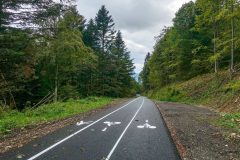
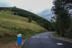
So I ignored the sign and went down there. This route was supposed to have been a fairly poor quality road down through the forest, but it looks like they’ve decided recently to convert it into a bike path, because it was a freshly tarmacked road with marked lanes for cyclists going down, cyclists coming up, and pedestrians, all in their own separate lanes.
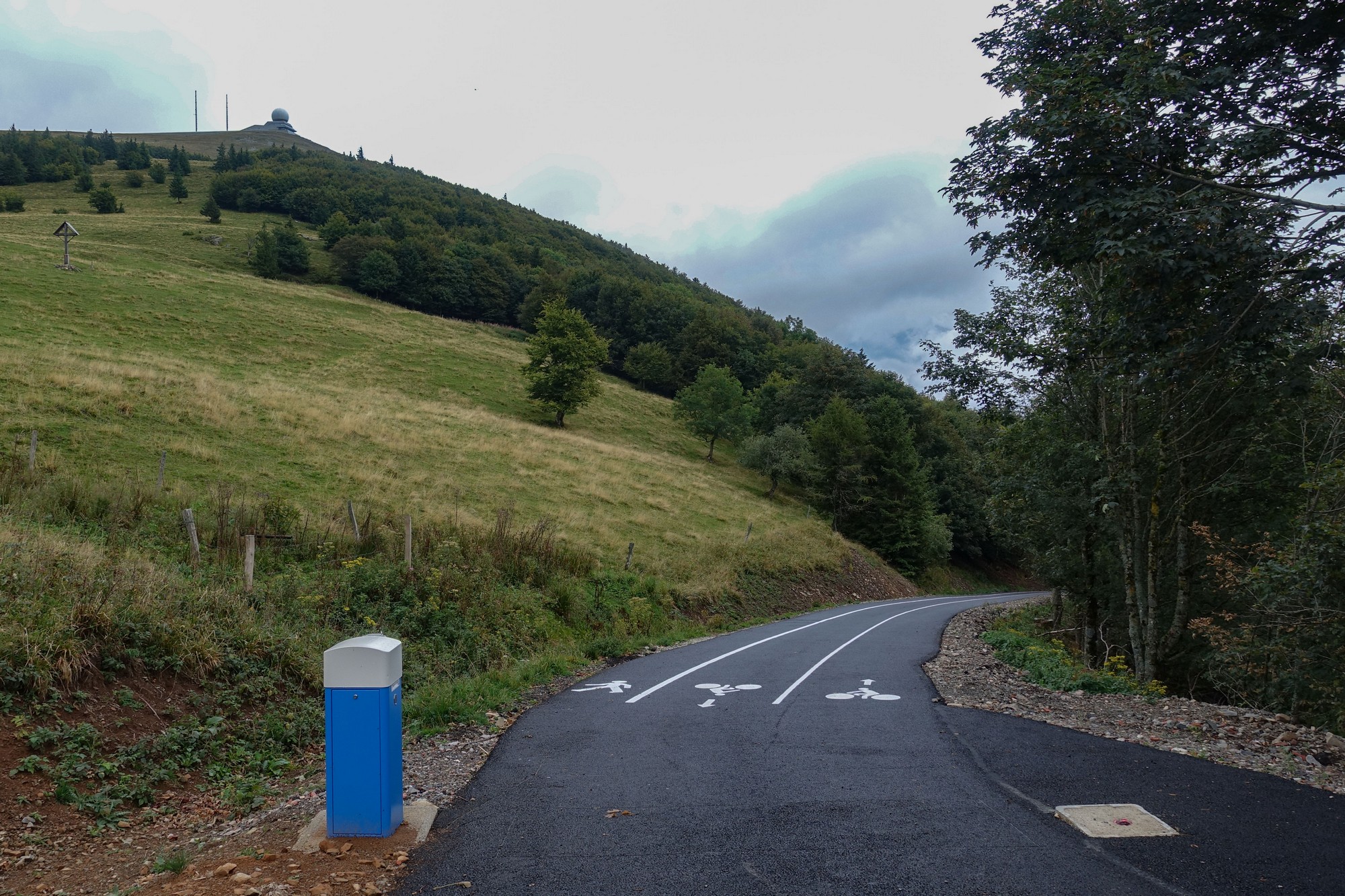
The road surface was brand new and perfect. After riding down it for a while, I was thinking to myself ‘well I must have come 500 metres by now’ and yet there was no sign of any blockage in the road. So I carried on further; still no sign of a closure. The road was actually really steep and I wouldn’t have fancied having to climb back up it if I did eventually come to a roadblock.
Anyway this amazing cycle path through the woods, freshly surfaced, went on for another 4½ miles of very steep but wonderful descent. I was glad when it joined the main road though because it meant I could relax, knowing I wouldn’t have to climb all the way back up again.
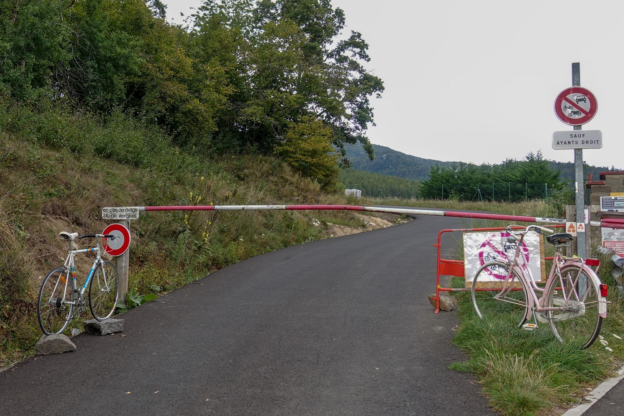
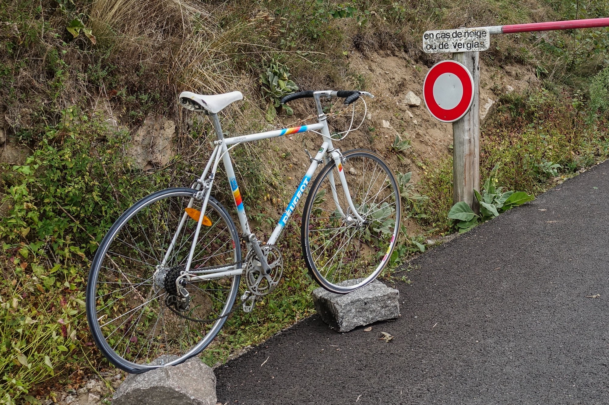
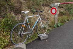
The cycle path ended at a barrier where two complete bikes, bolted to concrete bases were positioned either side.
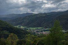
The Peugeot road bike looked to be in perfect condition and seemed complete. I wouldn’t have thought it could have been there long; about as long as the tarmac, I expect. I hope it manages to remain there! A couple of hundred metres further on, in Geishouse, there was a beautiful view across the valley, with Le Grand Ballon radar still clearly visible on top of the mountain.
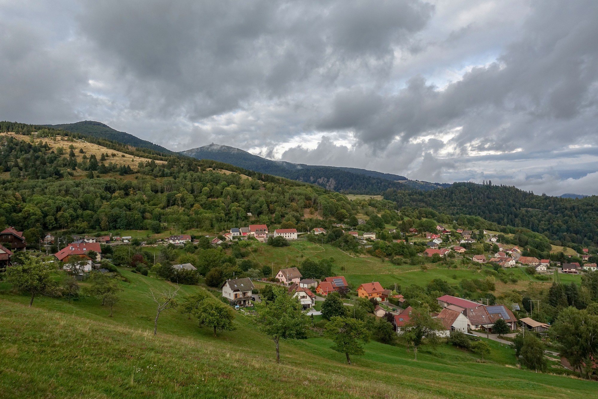
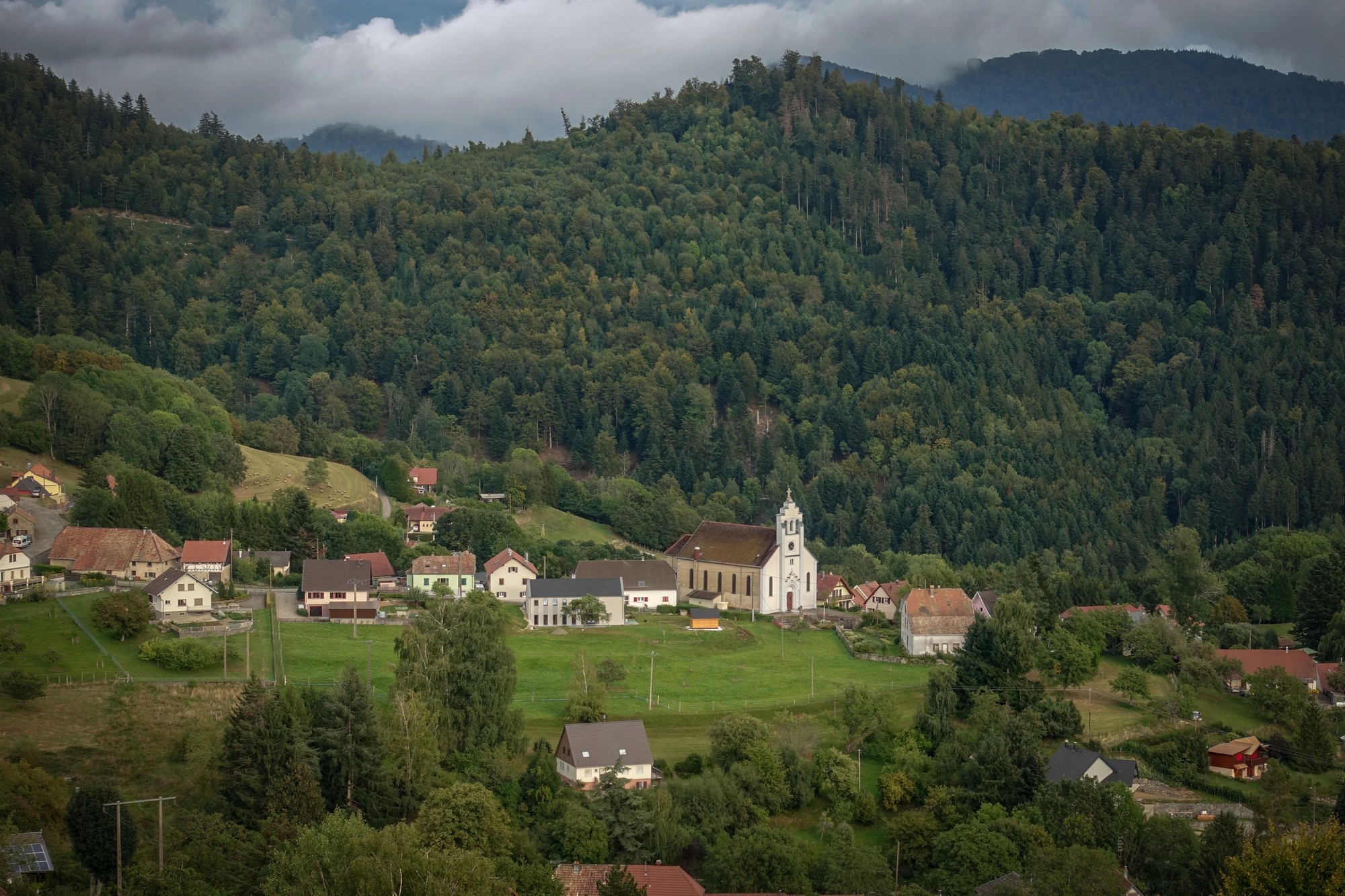
There followed another three miles of lovely descent down to the valley of the river Thur, at Saint-Amarin.
All the time I was aware that time was ticking on and I was hoping I could get back before it got dark.
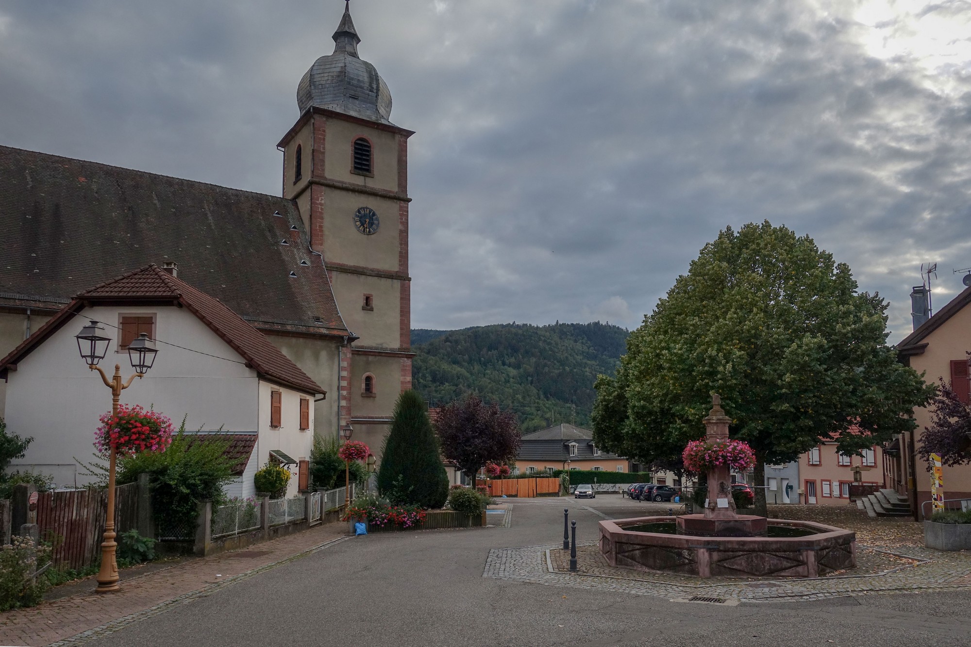
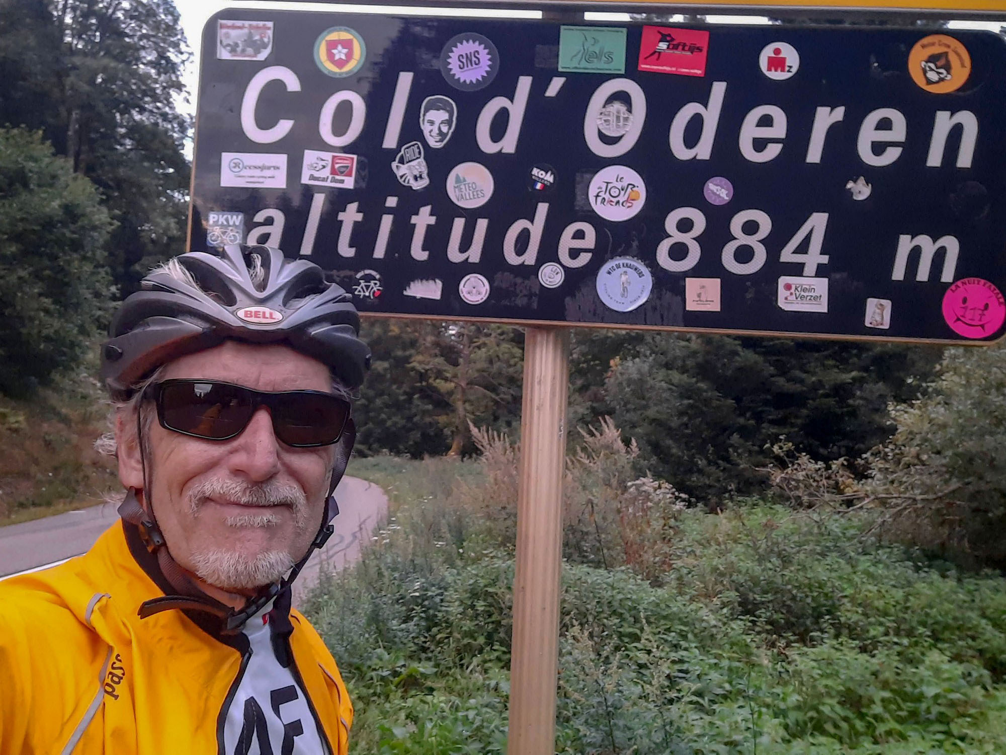
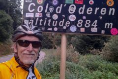
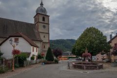
The road followed the river Thur valley through some lovely Alsatian towns, all bedecked with flowers and with lots of striking buildings, looking like they’d be more at home in Bavaria. Each town/village had a spectacular church. I wasn’t taking photos at this stage because I was on a push to get back before dark. Also I knew that I had one more climb coming up, to get over the col d’Oderen. So I checked my Wahoo and saw that the climb was starting in two miles’ time, so I made my way along the valley to the town of Kruth, where I’ve been before, and had another bite of my protein bar before taking on the climb up and over the Col d’Oderen. I’d already seen that it was a four mile climb at around 6.5%. I was thinking it could take as much as an hour to climb it.
In the end it took 45 minutes. I took it steady and didn’t stop. I was pleased with my ability to take on this last climb without too much of a problem.
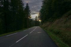
At the col I zipped-up my rain jacket which I had been wearing in the unzipped state for the climb. I’ve done the descent from Col d’Oderen before and know that it’s a really nice one, but since I was last here they’ve resurfaced the road in its entirety all the way from the col down to Ventron, 3.5 miles away.
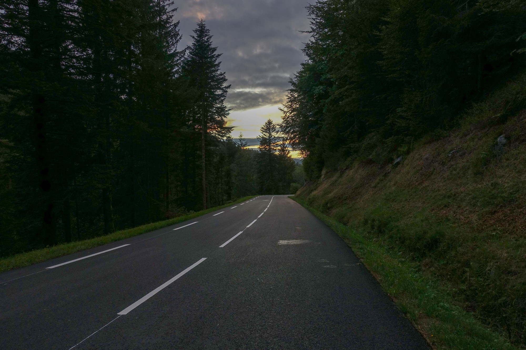
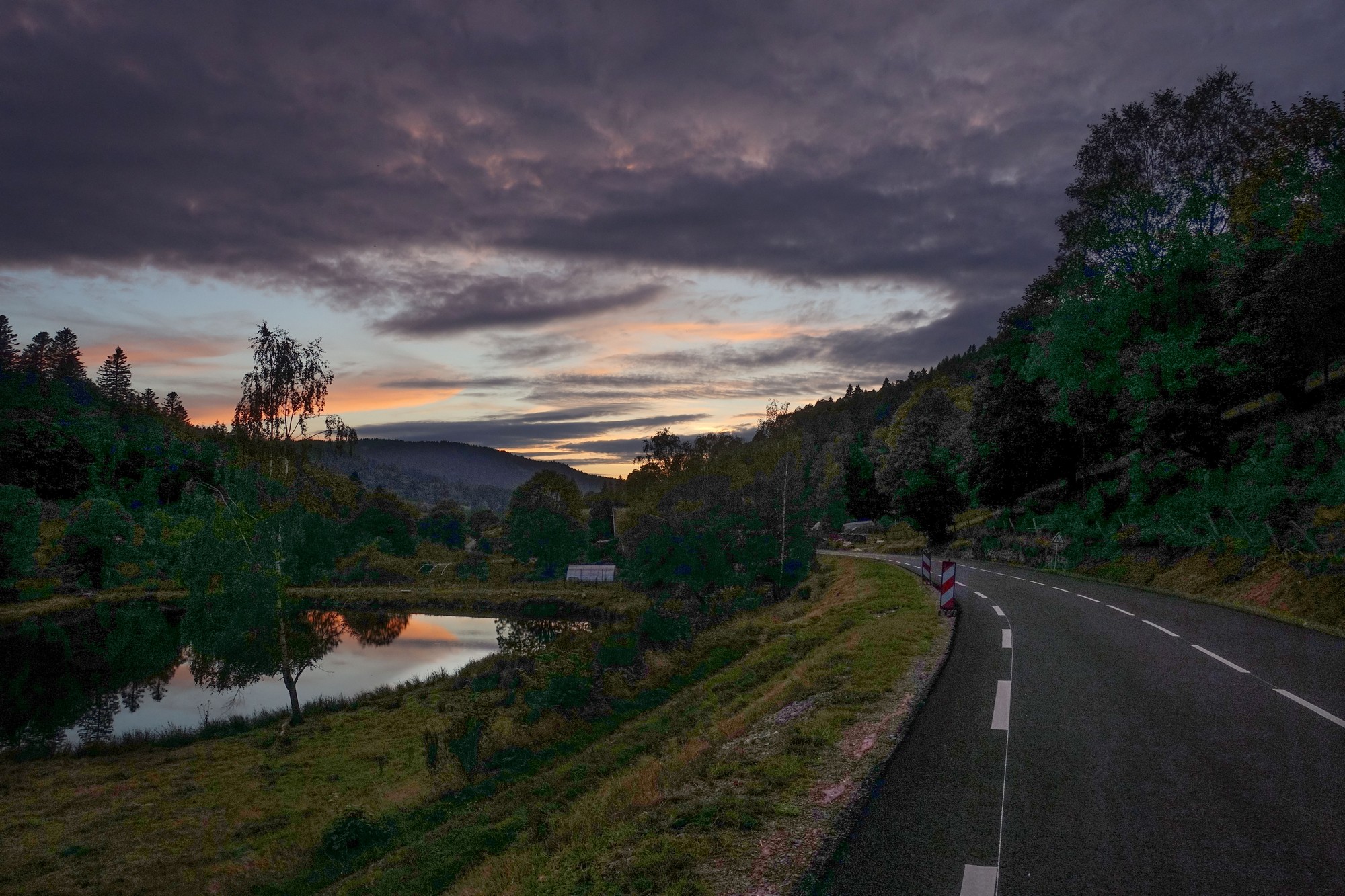
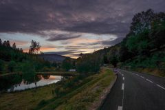
The surface was perfect and the descent was amazing. Even after Ventron the road surface was still excellent for the remaining 3 mile descent to Cornimont and back to base. I’d had my flashing rear light on for the whole of this ride, but by now it had become a necessity. I was still able to see the road ahead OK despite still wearing my sunglasses, but I was glad the ride was nearly done.
Over the last couple of hours of the ride, the sky had been gradually clearing, leading to a lovely end to the day.
So I’d managed to miss the rain and was glad I’d decided to not be dissuaded by the forecast. I felt really great at the end of the ride.
Things that went well
- It didn’t rain
- I walked to the radar at the top
- My new bifocal polarised glasses worked well
- Brilliant newly surfaced cycle path down from the col – I was right to ignore the signs.
- Newly surfaced descent from col d’Oderen.
- I got to places on the hour as usual!
- Turned out nice at the end of the ride
- My civvy cycling shoes were fine over a long and tough ride
Not so good
- Cloudy, grey and cool weather
- No spectacular views at the top due to the weather.
- Forgot my tomatoes, so only had a ‘C’ instead of a CST sandwich!
- Leaving late meant a rushed end to the ride, and also riding in darker conditions than I would have preferred.
Further reading
Col de la Vierge with more (sunnier) photos of places featured here!
Fuel
Gallery
Click to enlarge / see slideshow















Lovely stuff, Vince. The French know how to do cycling and cycle infrastructure so well!
I’ve been wracking my brains as to where to head in France for a cycling getaway and the Vosges is winning out.
Cheers Ben. Thanks for the comment. There is certainly plenty of excellent cycling to be had around here. If you do come here, be sure to climb to Le Grand Ballon on a clear day and send me some pictures so I can see what I missed!
Even if it was a dull day, your description made me jealous of the ride. Enjoy the trip.
Cheers Al. Will do.