Distance: 48.8 miles. Elevation: 4687 ft.
Col de la Croix de la Serra
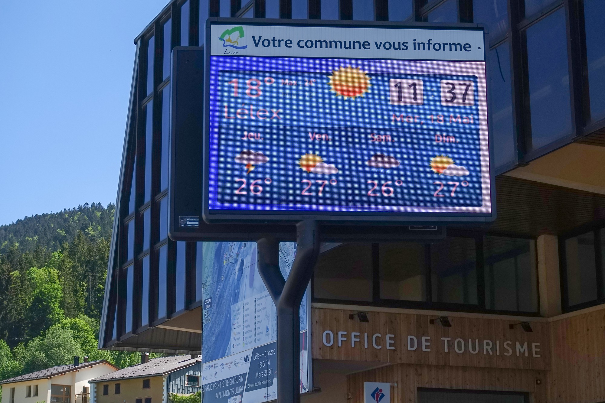
Depart: 11:31
Factor 50 sunblock, no arm warmers, no rain jacket, two bidons, neck protector thingy and two paracetamol before I left. I’d decided on this shorter version of the route, with 6 miles and 1200ft less climbing. That transpired to be an excellent decision.
14:09
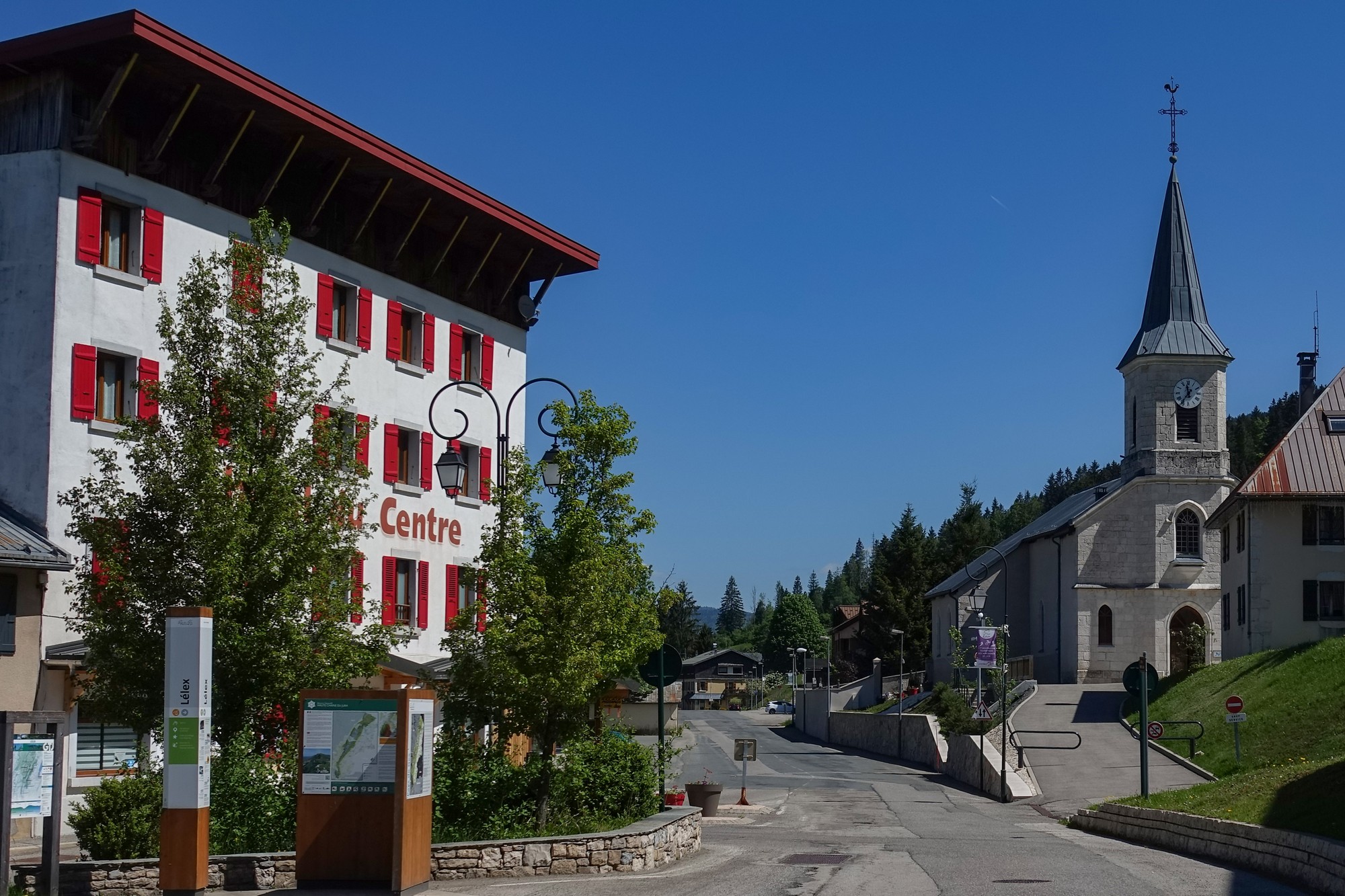
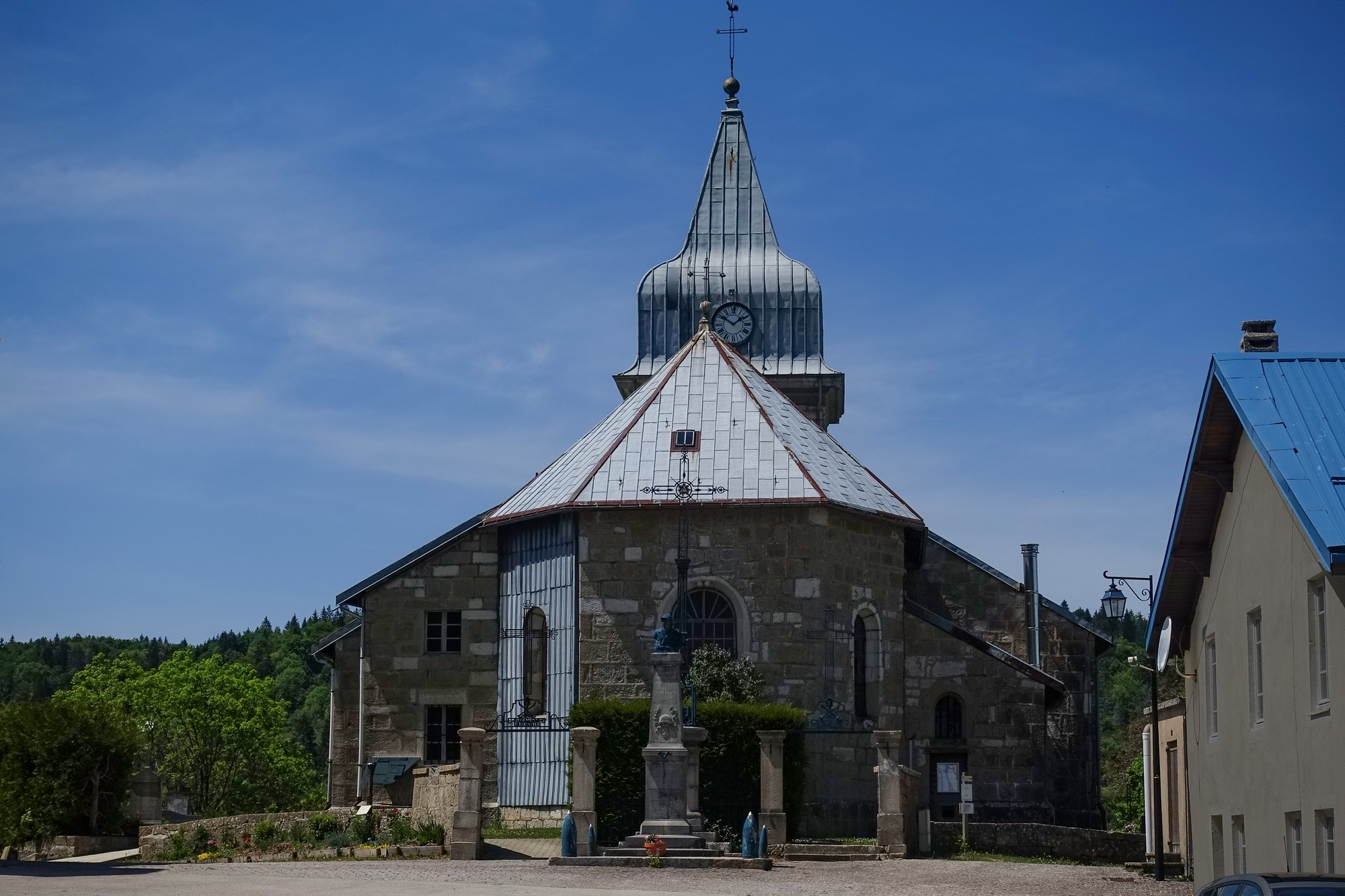
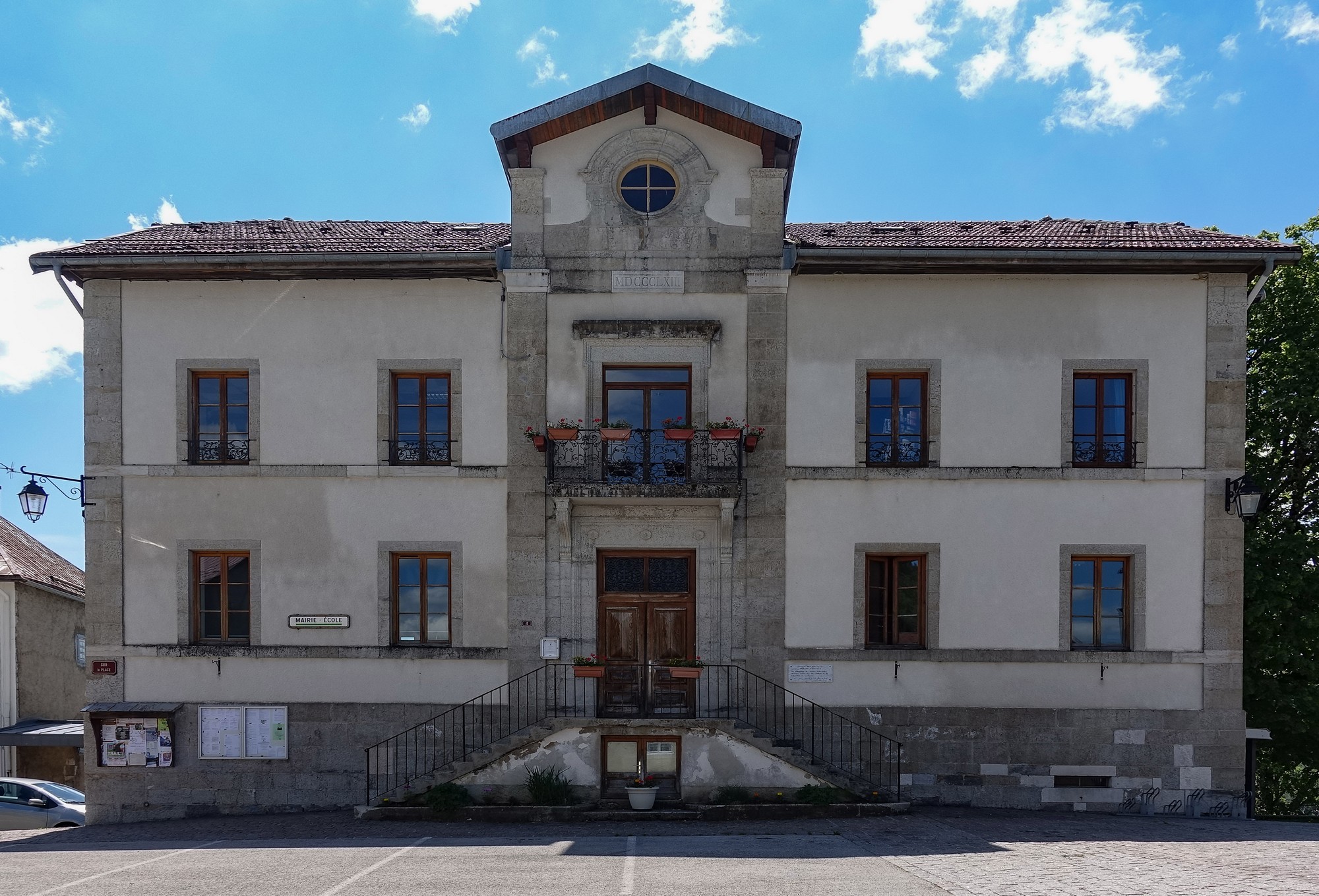
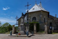
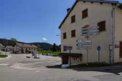
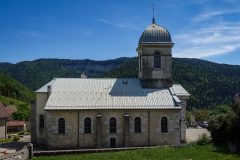
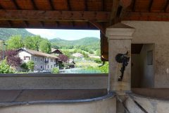
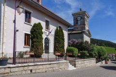
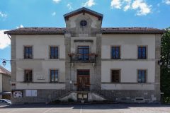
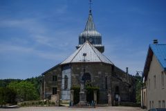
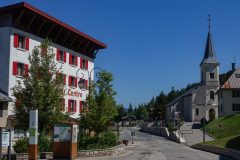
This report coming from a picnic bench between the church and the mairie/école in a very quiet village called Les Bouchoux, 21 miles into the ride. The sun has been out nearly the whole ride so far, although clouds are ‘bubbling up’, as the weather forecasters say. The area is quite cool though, so I don’t feel too hot.
After the ride up the Vallée de la Valserine, from Lélex to Mijoux, I did the 3½ mile climb out of the valley to Lajoux in one go. In fact I haven’t particularly felt like stopping on the whole ride. I’ve stopped now because there was a nice place to eat, and my stomach was rumbling.
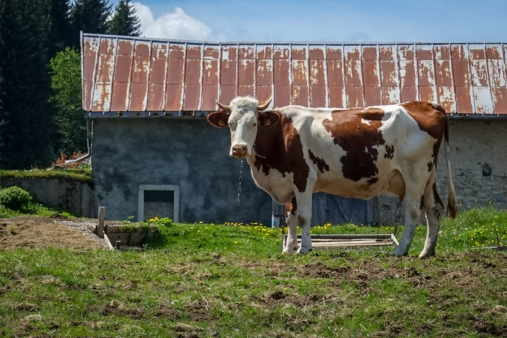
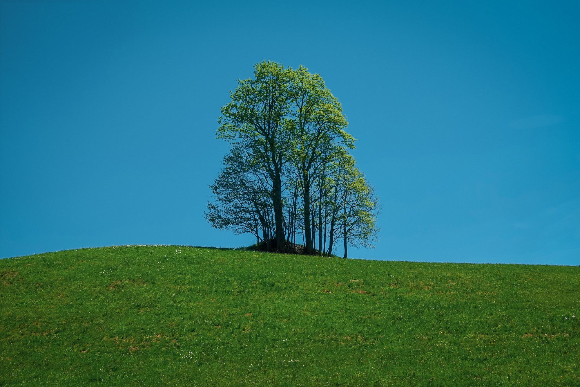
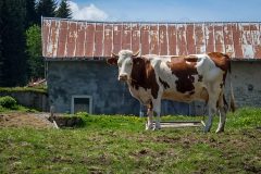
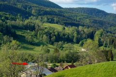
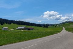
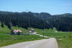
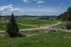
The main features of this ride so far have been pastures, cows, sunshine and rolling roads across the hills, with scattered farms.
The open landscape was interspersed with sections of forest, where I was frequently getting covered in flies again.
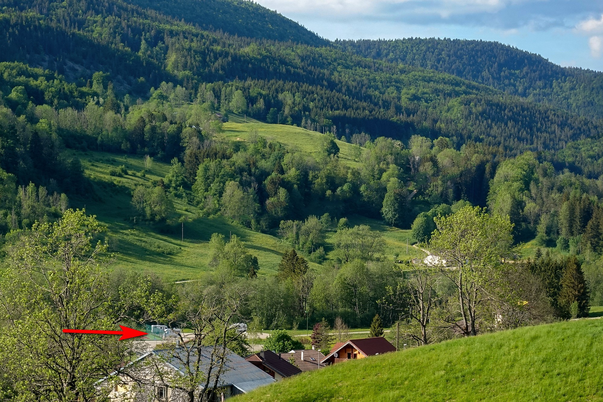
I was hoping to get a view of Mont Blanc but I don’t really know which direction it’s in and I can’t really see to the horizon, only to the hills around me.
There has been hardly any traffic at all. This village is so peaceful, you’d hardly know there was anyone here. A cat was slinking itself around my legs as I ate my sandwich, but strolled off when no attention from me was forthcoming. It’s now rolling around on the tarmac of the netball court in front of me.
15:15
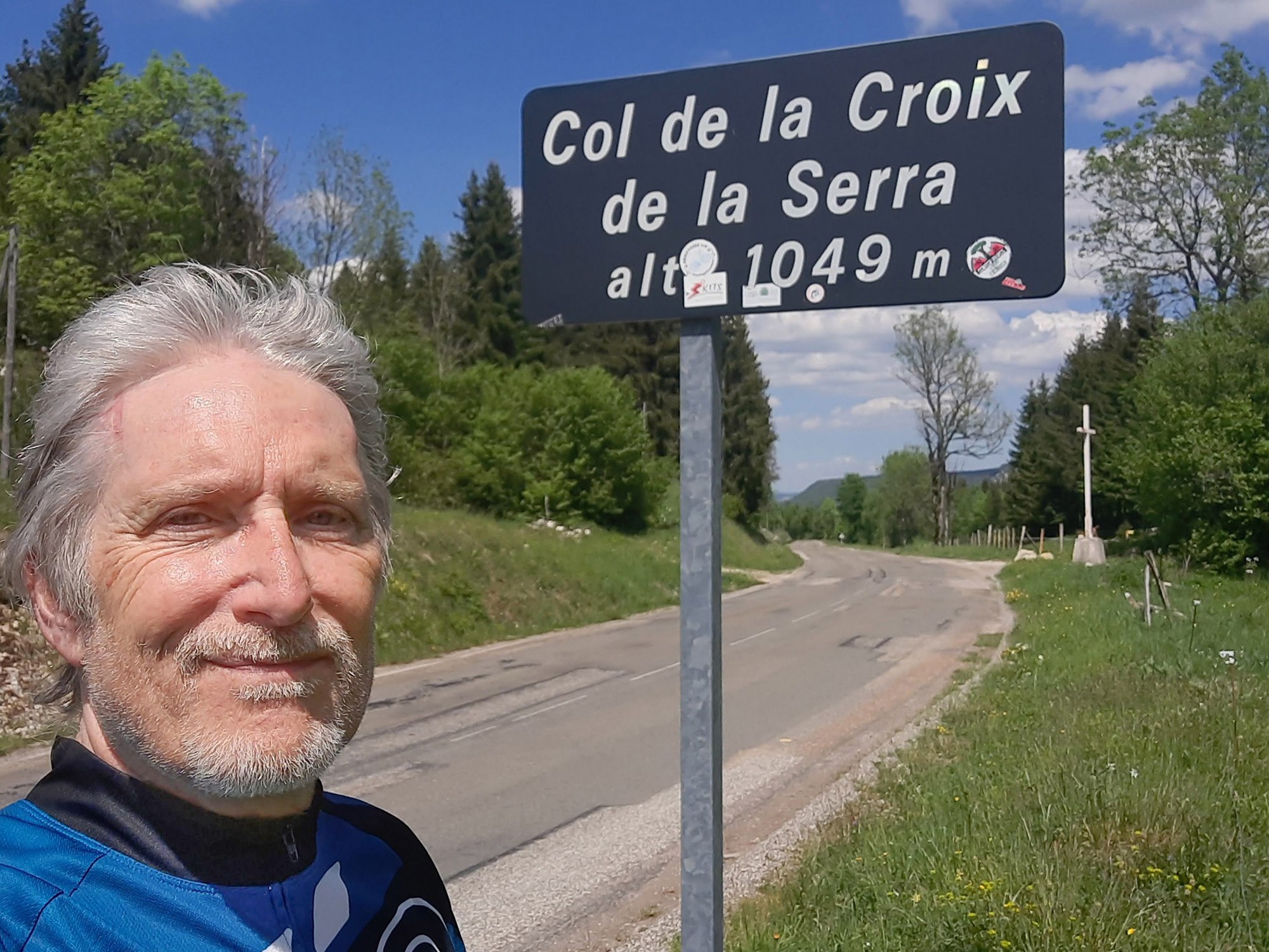
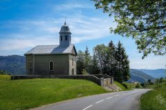
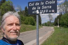
Leaving Les Bouchoux, the road climbed for two miles, to the Col de la Croix de la Serra.
Then a three-mile descent to Belleydoux
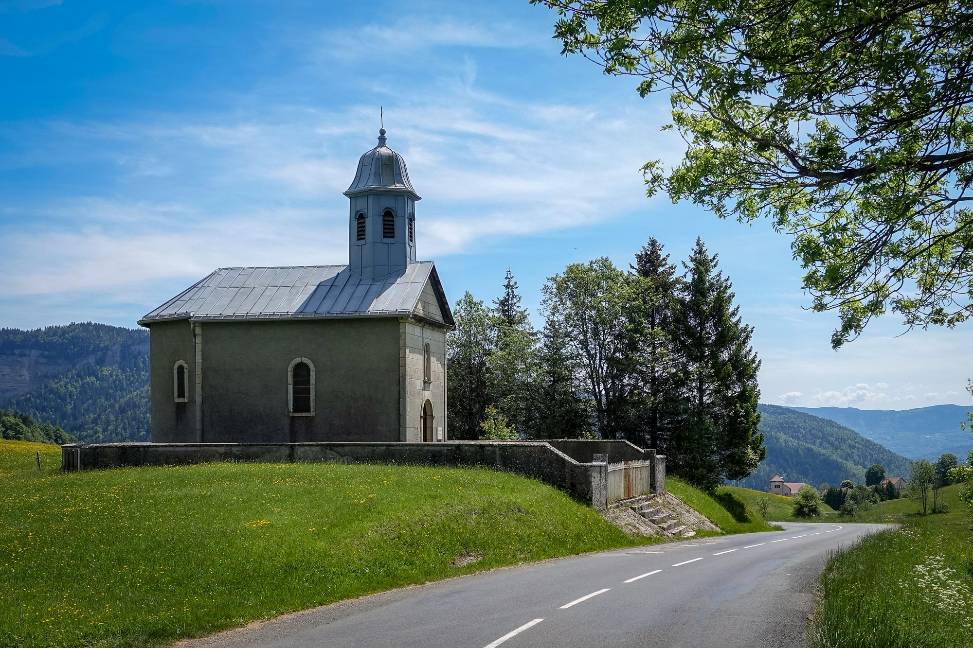
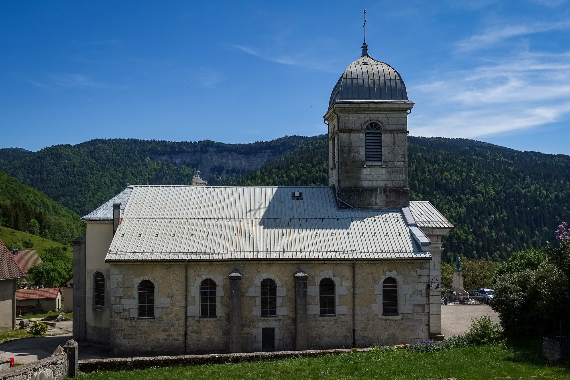
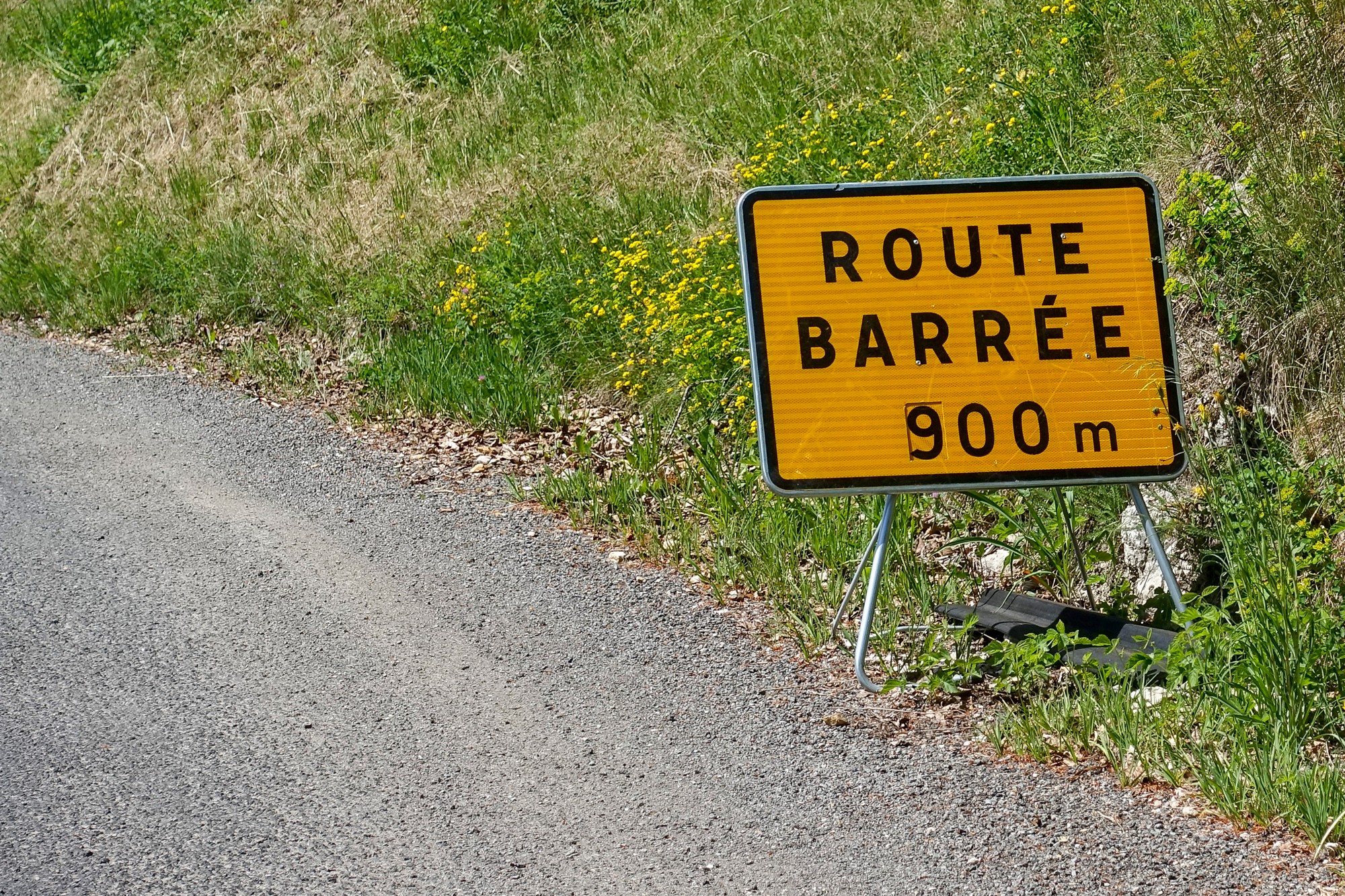
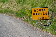
After Belleydoux, I turned left, to be confronted with news that the road was closed ahead.
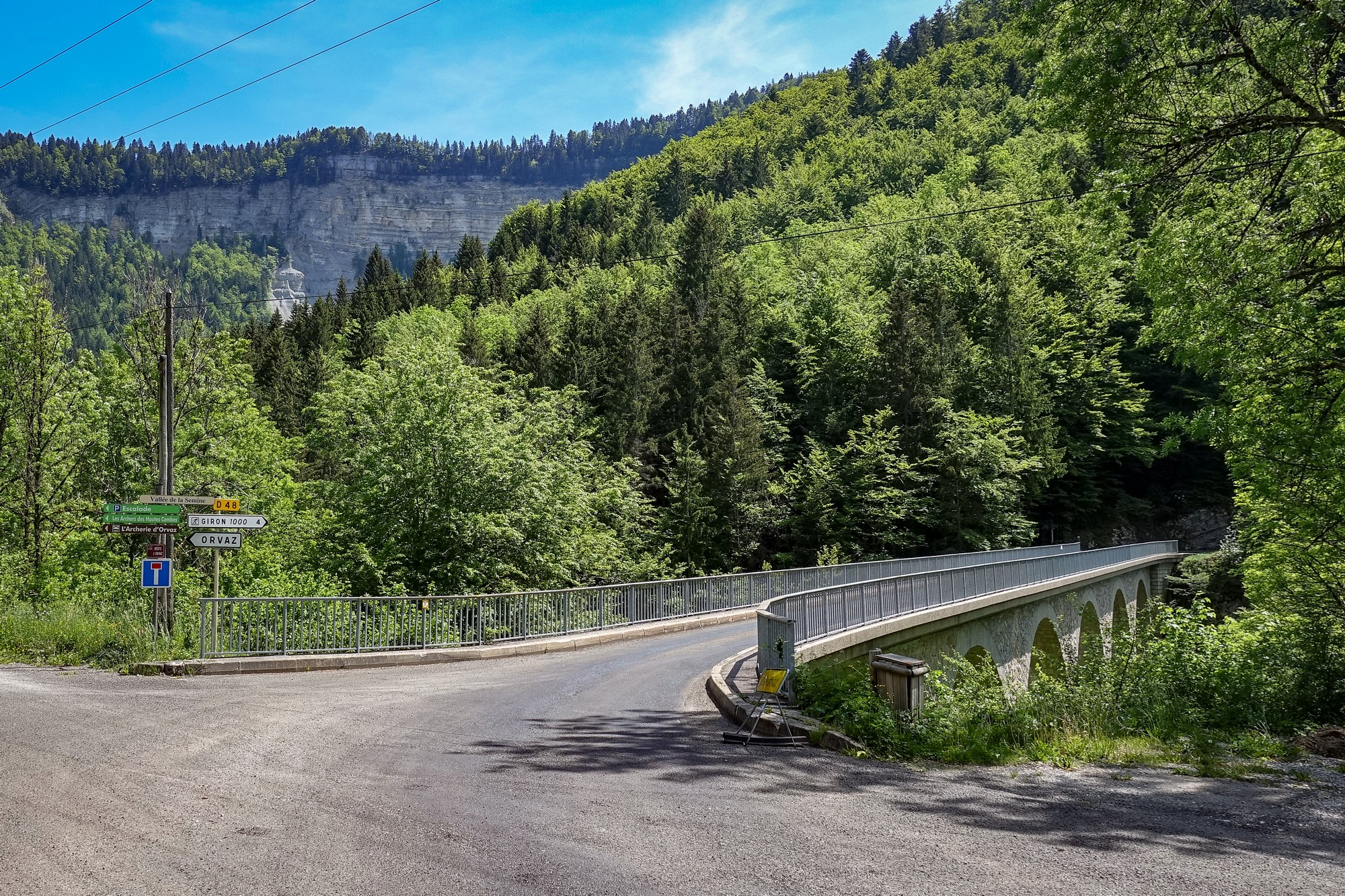
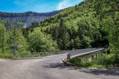
I decided to ignore it because I had no way of knowing how to go round it and as I was in a very hilly area I didn’t fancy alternatives. So I took a chance. The road plunged down into the Vallée de la Semine. It turned out to be just some road laying being done, and I managed to get past the workers without any problems.
Down at the bridge across la Semine, I didn’t need to look at my Garmin to tell me I’d soon be climbing up the other side of the valley.
I just stopped in some shade halfway up to look at my RideWithGPS app to get a handle on where the different climbs are for the rest of the ride. Obviously because of the road closed thing there’s been absolutely zero traffic on this road, which is brilliant. The road is going through the forest and all I can hear is BEF (Birdsong Echoing in the Forest – pay attention..)
There was a two mile 7% climb to Giron. During a stop on that climb a man leaned out of his car window for a chat (maybe to see if I was OK). Among other things discussed he said the summit was about another 1km further on.
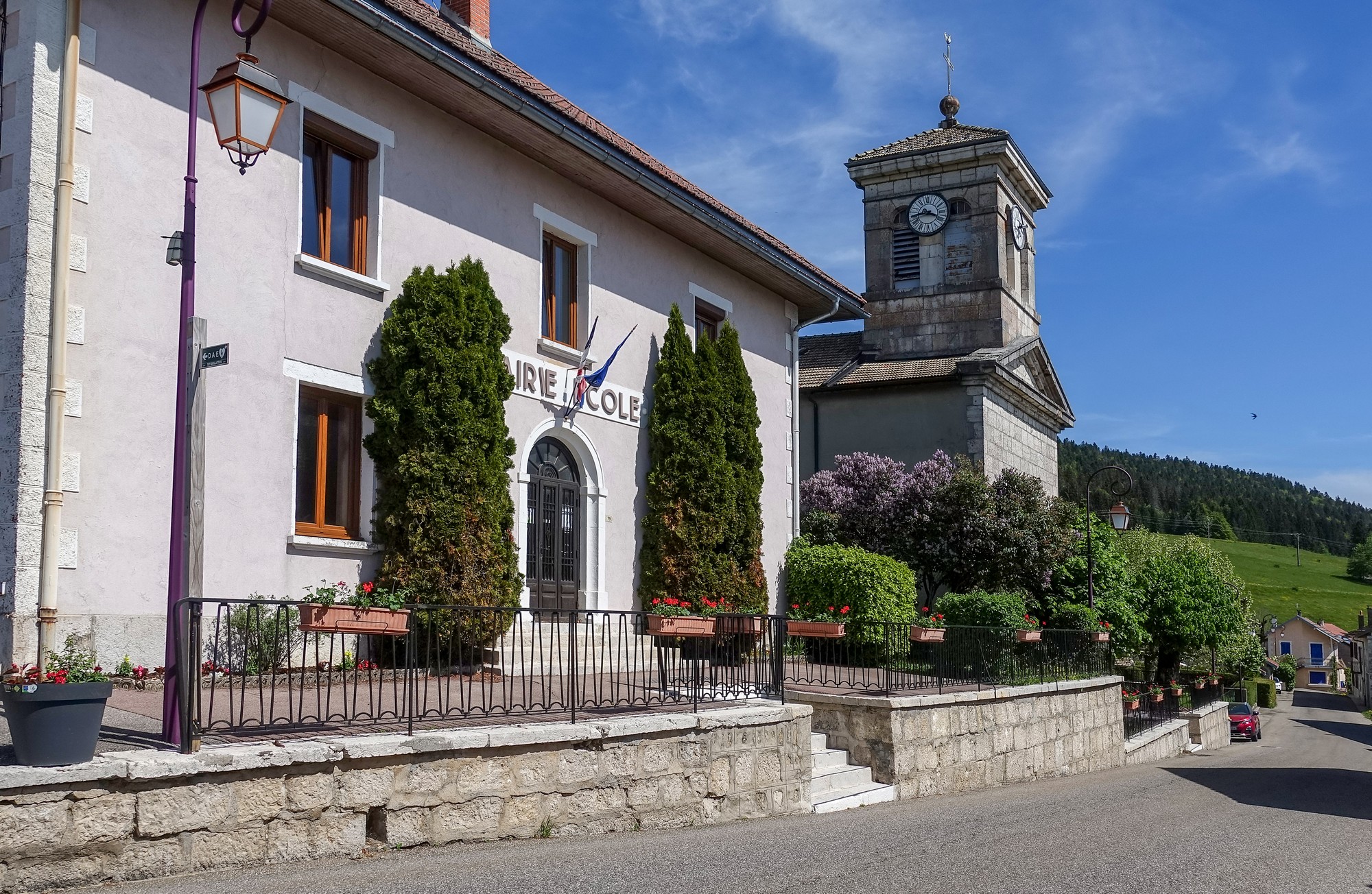
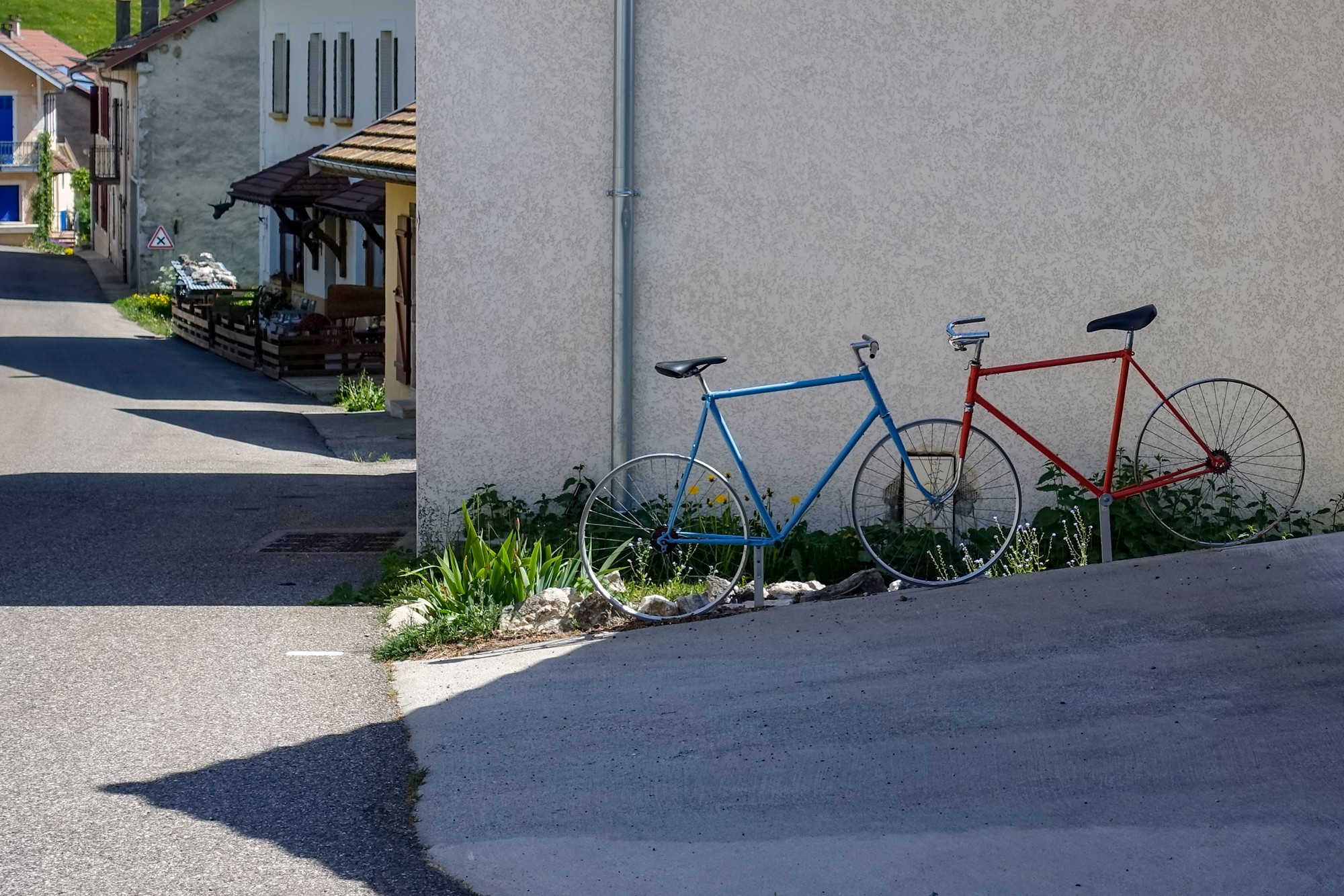
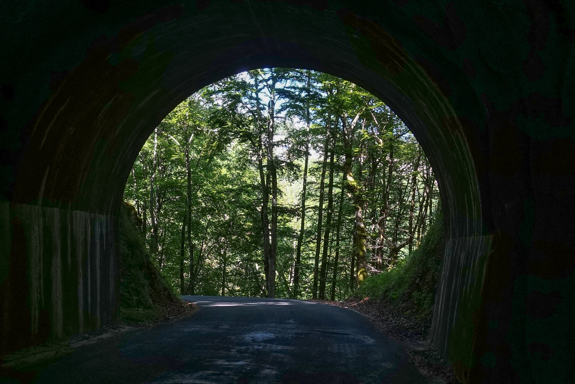
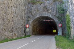
On from Giron, the road went through a tunnel
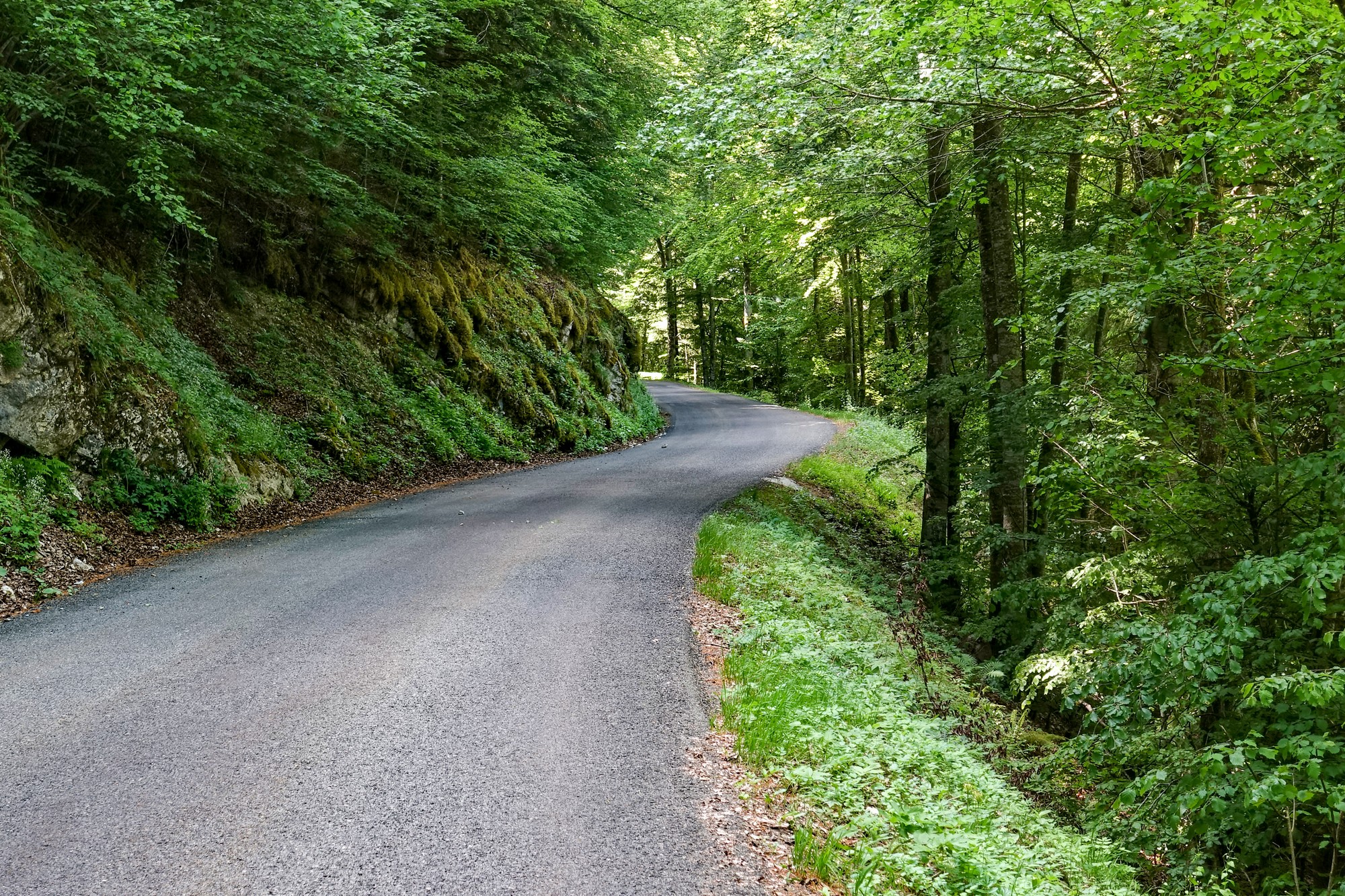
There followed a four mile descent at 6% through forest, during which I came round a bend and saw an ibex standing by the side of the road. I stopped as gently as I could. It stood there for a while but as I got my camera out, he skitted into the forest and out of sight. Damn.
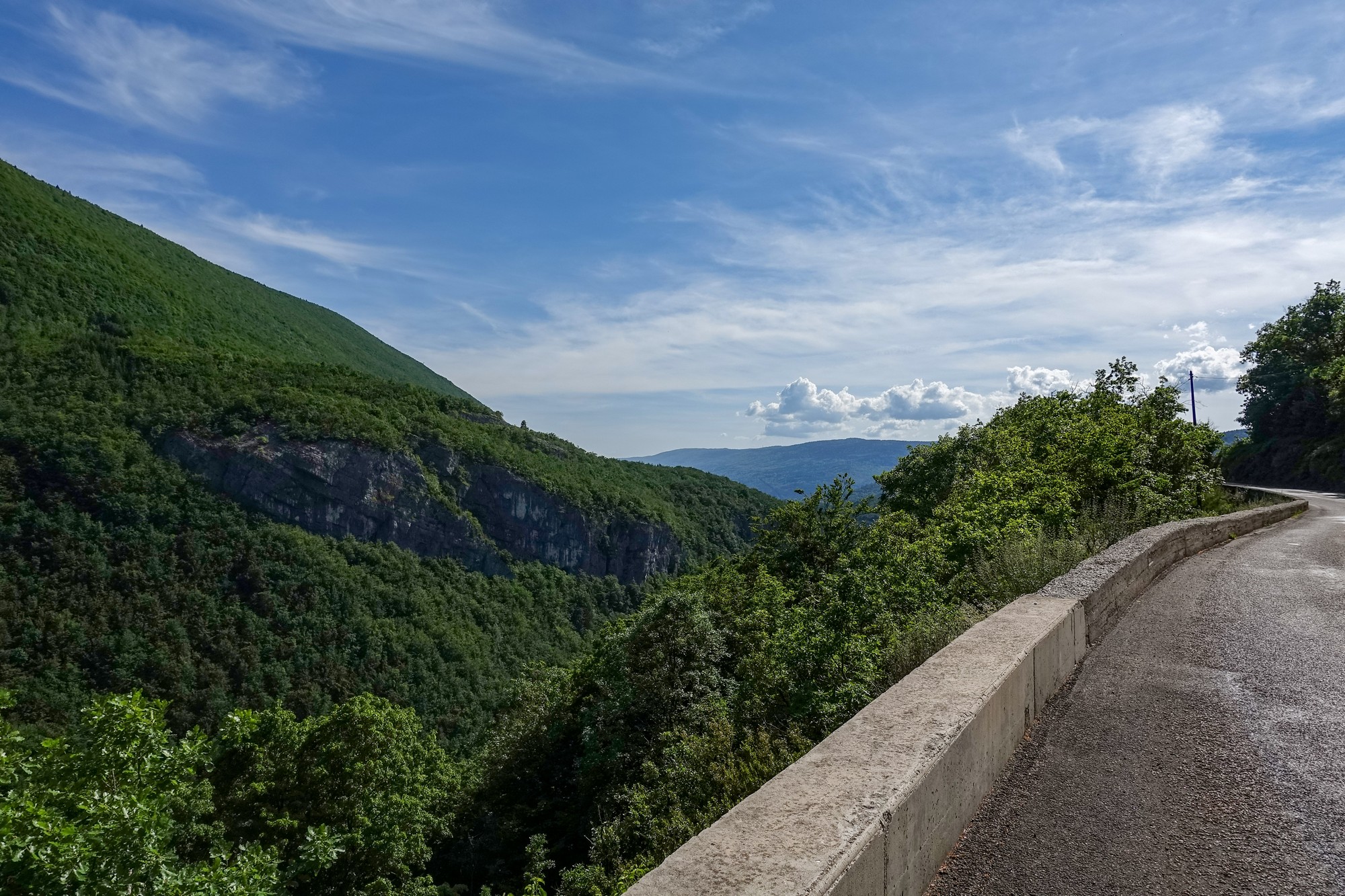
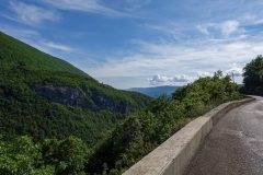
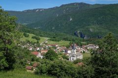
The forest road opened out to a view over the valley towards Champfromier.
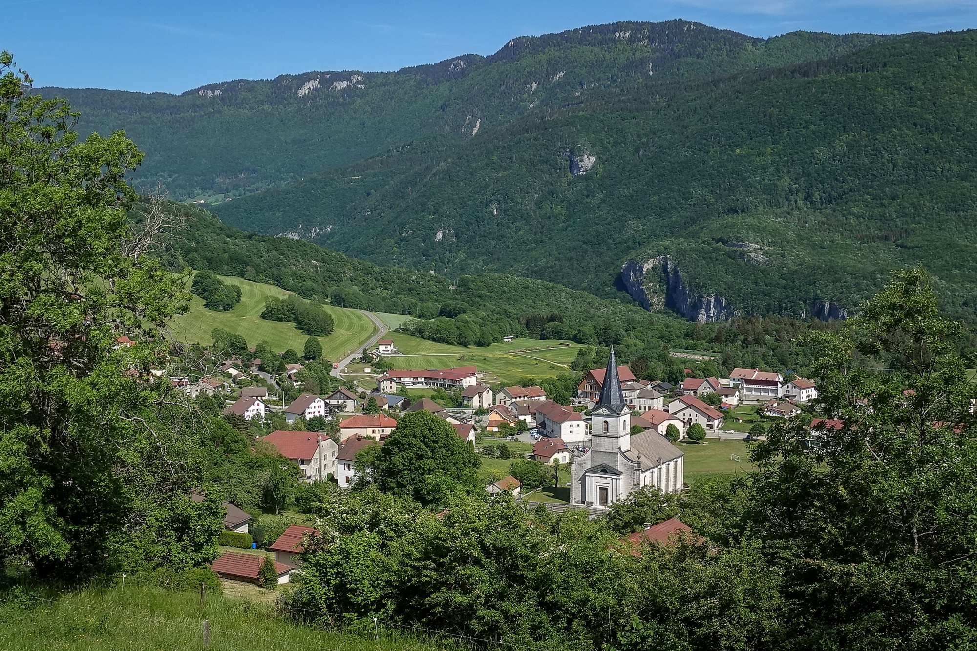
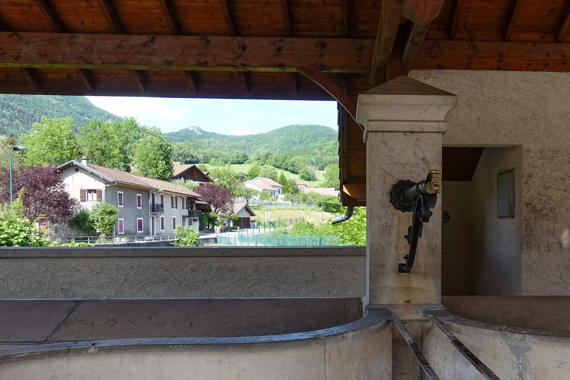
I was getting desperate for water. In the town of Champfromier, I asked a local lady if she knew of a source of eau potable. She told me there was a fountain a bit further on. I reached a tap but wasn’t sure it’s what she’d meant. I asked a guy who was sitting nearby. He wasn’t from the area and said to ask in the bar. I went into the bar several times and called ‘bonjour’ but there was no one about. I could have pulled myself a pint of Heineken and no one would have known! So I went to the boulangerie opposite. Again there was no one about. Eventually an assistant appeared and, almost before I could get the sentence out, she told me that yes, the water was drinkable. So I filled my bidon, drank half of it immediately and then filled again.
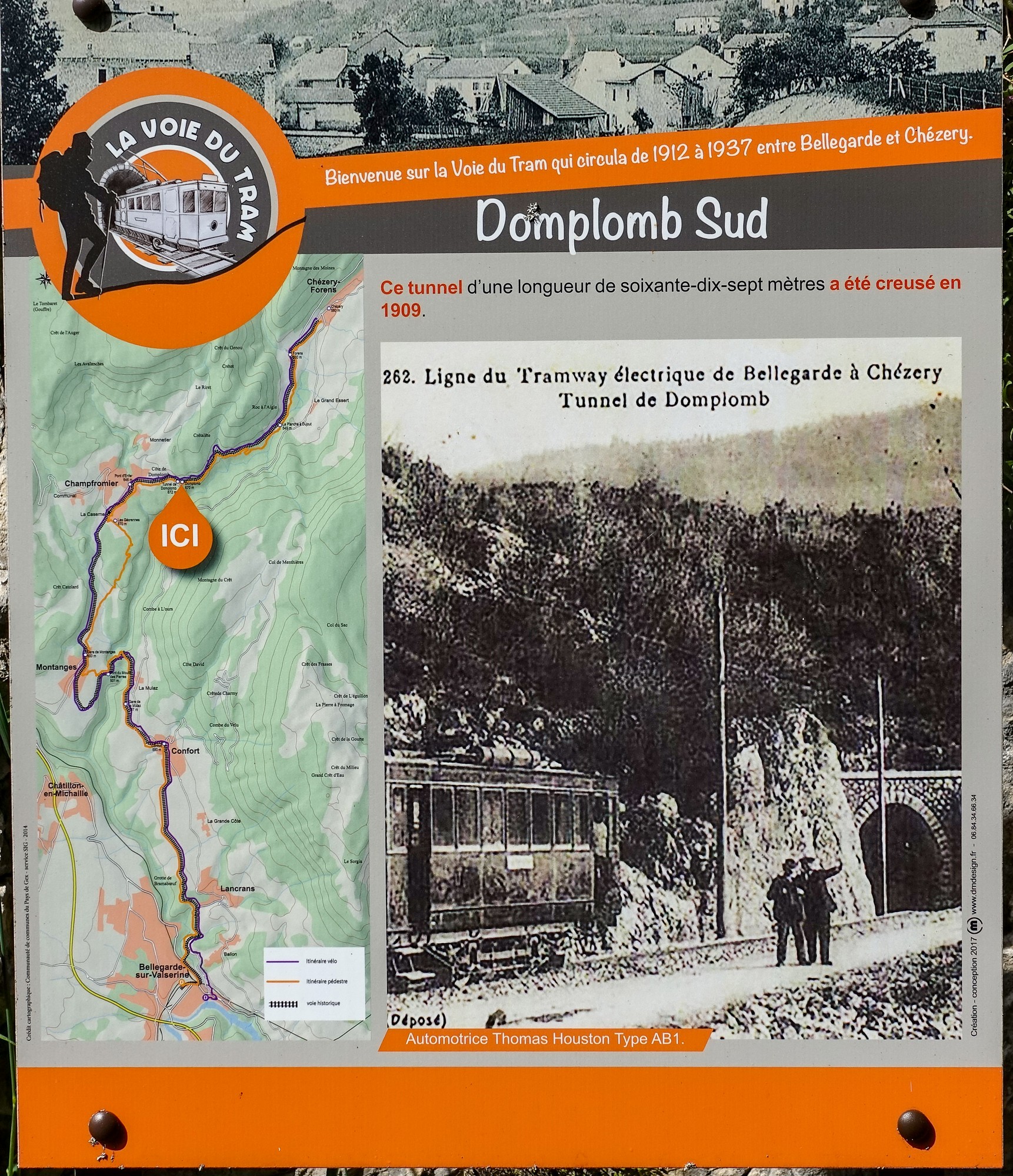
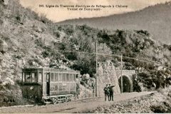
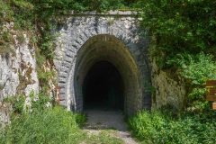
A mile further on from Champfromier I passed a disused tunnel entrance, but when I noticed the bracket at the top (for a catenary) I realised it was probably an old tram tunnel, so I stopped to take a look.
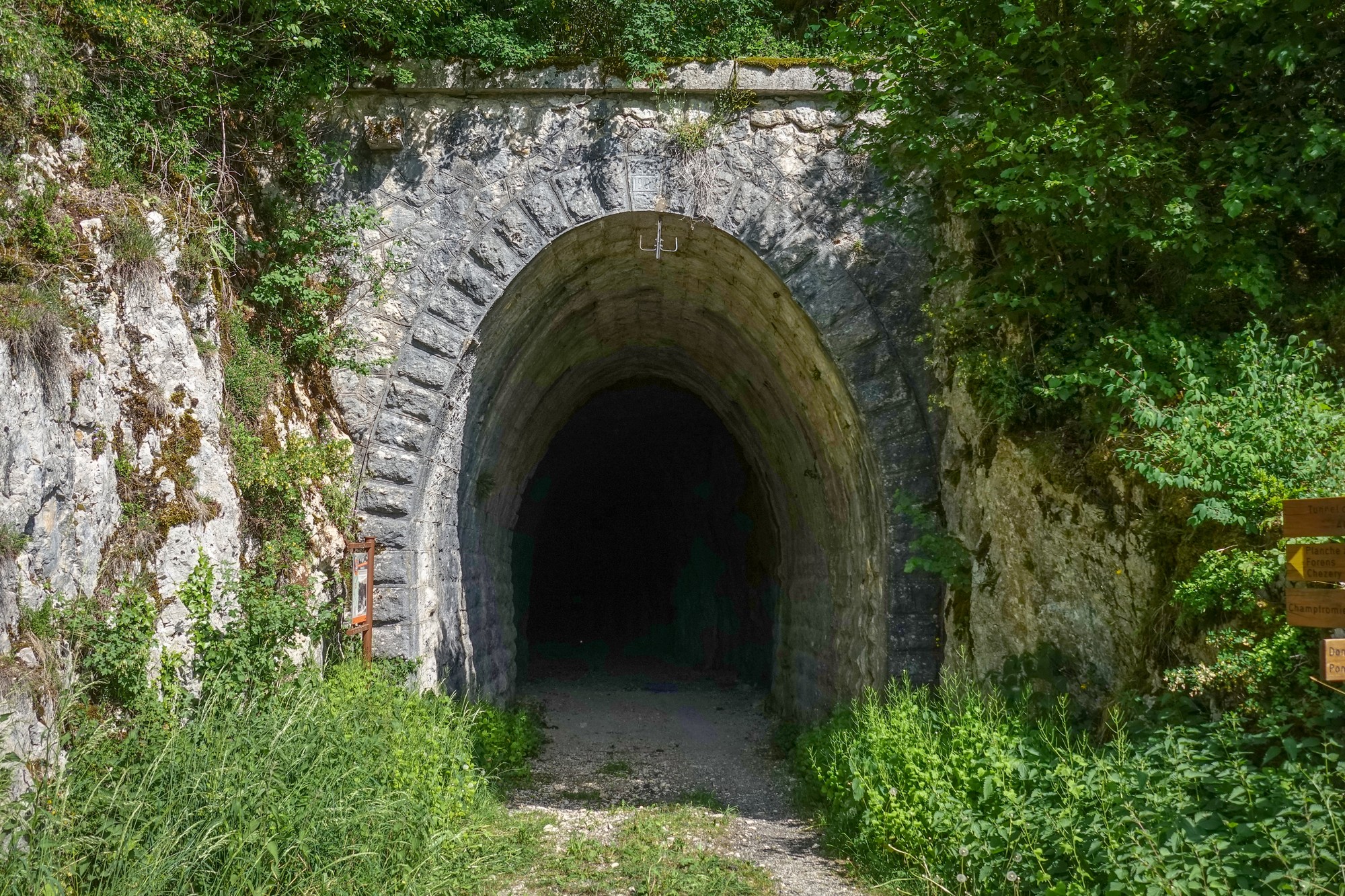
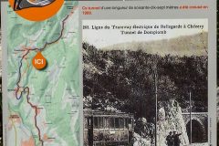
There was an information board next to it explaining that the tramline had been operational between 1912 and 1937
Also there was a footpath sign pointing into the tunnel, so it looks like you can now walk the path of the old tramline.
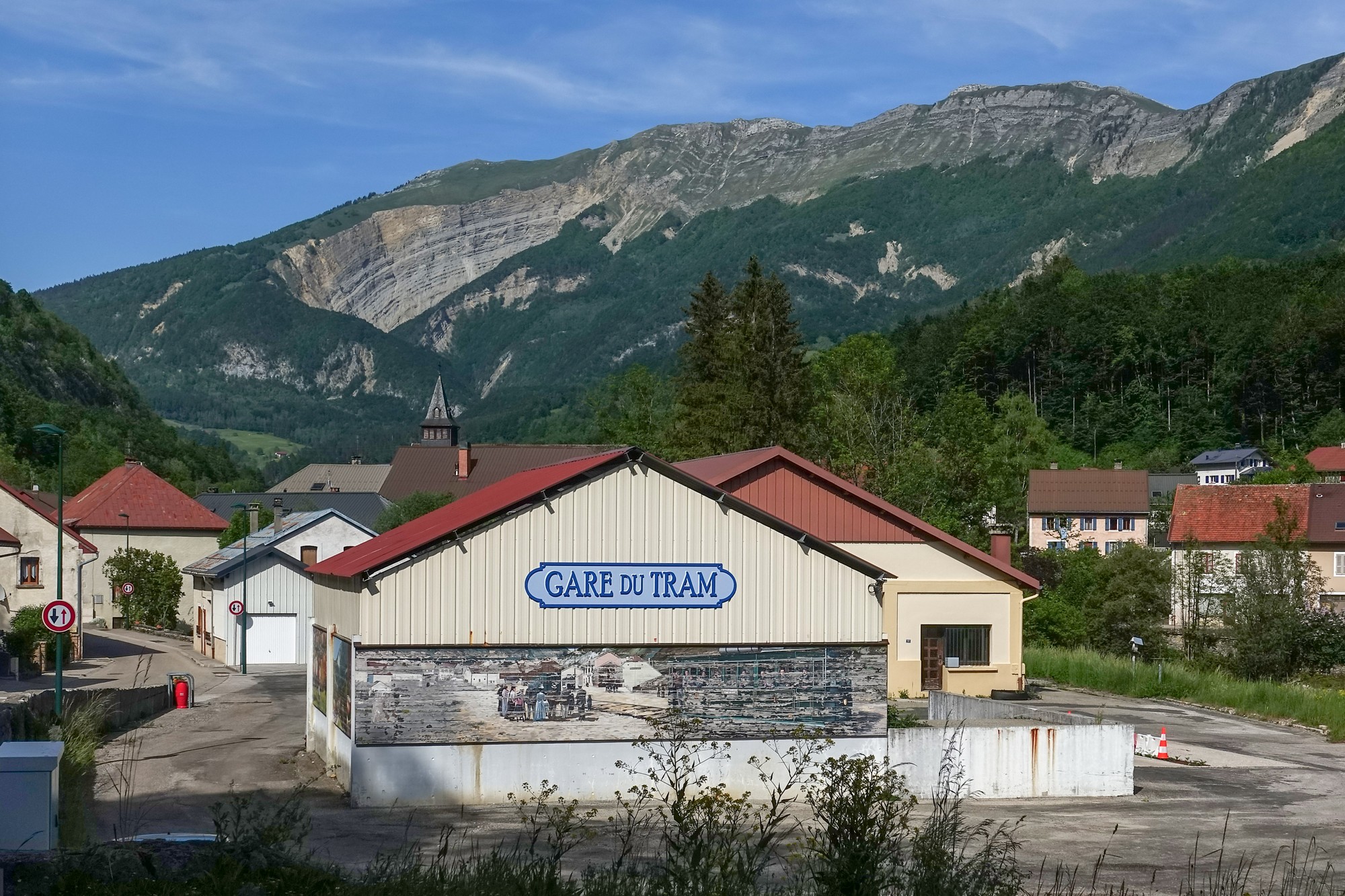
The road descended to Chézery-Forens
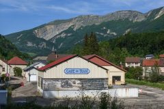
… where the old tram terminus was still standing
I started doing badly on the final seven-mile climb, mainly in the sunny bits. The hours of being exposed to the blazing sun and the effort of the ride, and some element of dehydration maybe were starting to take their toll. At one point there was another tunnel.
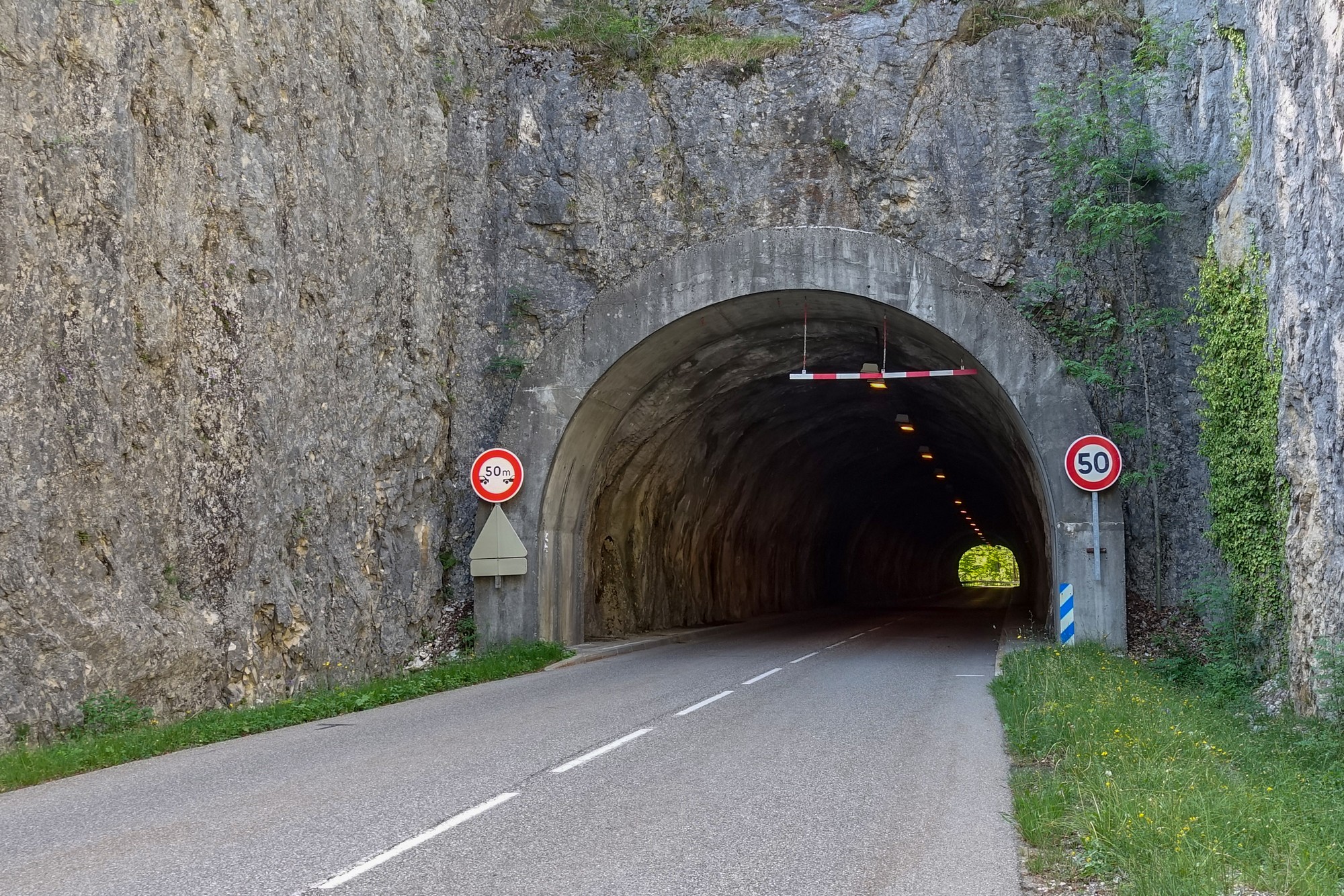 It was like riding through a fridge – beautiful. I poured water over my head several times during the remaining miles and always felt ok after that, for a while at least. When the tree shade was on the road it was bearable, but in the sun I was just gagging to reach the next shaded section. I stopped numerous times to cool down. Earlier in the ride I had taken a couple of Ibuprofen.
I was not feeling in a good way for those last miles and was pleased to discover that the last mile or so flattened out.
After I got back and went to upload the ride to RideWithGPS and Strava, I discovered that the ride data had been split in two by the Garmin because it had lost signal through that last tunnel. So I used the utilities on the excellent GoToes website. It created a new, repaired file which I uploaded ok to ridewithgps, but Strava complained of ‘corrupt time data’, so I downloaded the copy from ridewithgps (they must do additional processing) and uploaded that one to Strava, and that was accepted ok.
So it had been a ride that had started off brilliantly but turned a bit tough towards the end due to exposure to the sun. It’s invariably preferable to not finish a ride with a long climb. In fact I’ve just realised that this route would have been brilliant the other way round, with a near 11-mile descent at the end. Maybe I’ll go back and do it that way another day… [addendum: I did do it the other way round, four months later – see here]

More info
Here’s a link to a document that contains an article giving a good potted history of the tramline between Bellegarde and Chézery. It’s like a village gazette from 2006 for the commune of Chézery-Forens. It’s all in French I’m afraid, but a charming document covering municipal matters for the village.
Porte Ouverte à Chézery-Forens, Bulletin Municipal No: 12
Commune de Chézery-Forens (website for the commune – right-click to translate)
Gallery
Click to enlarge / see slideshow


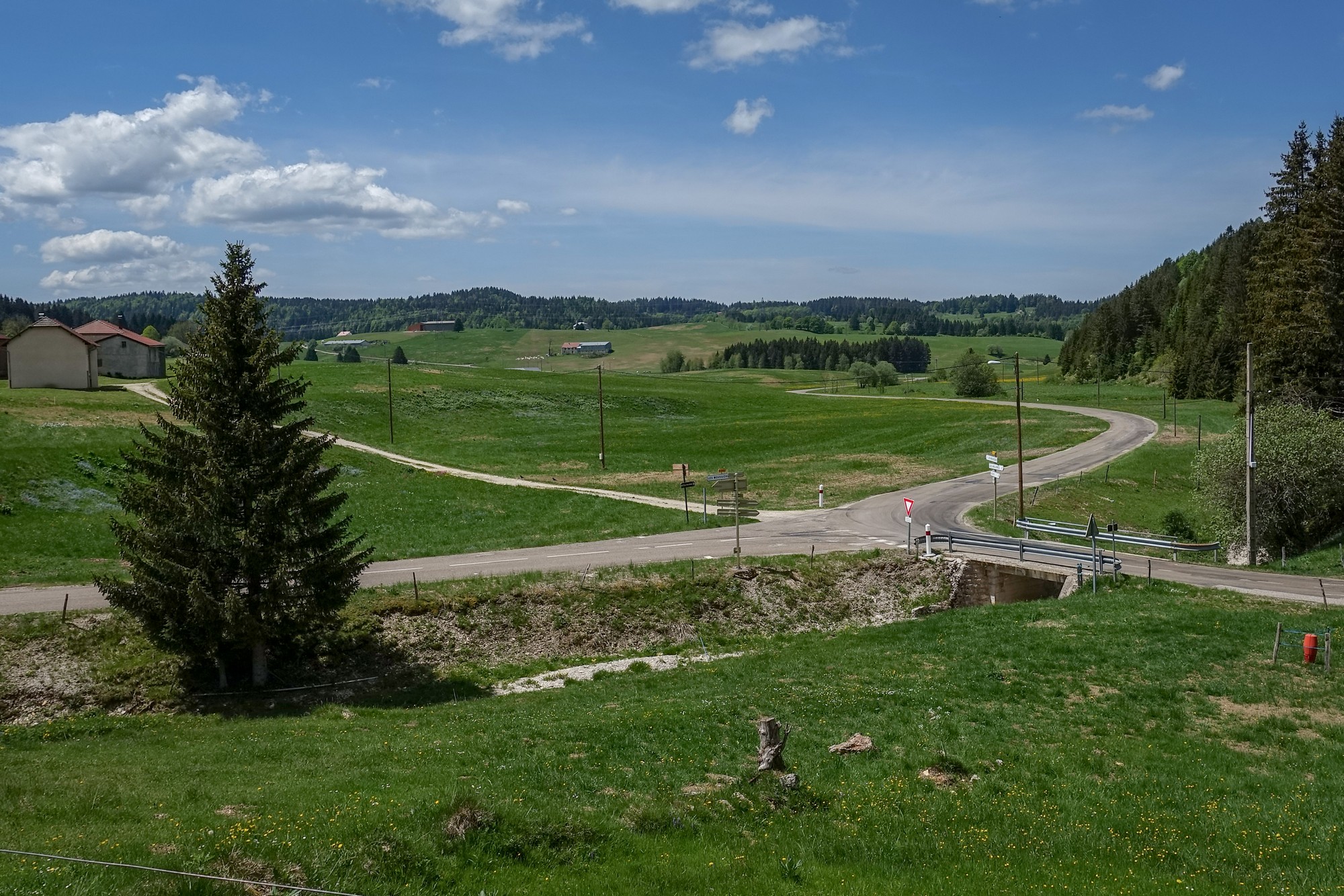






Looks idyllic, despite the heat and insects.
Thanks for your comment Al. It actually was idyllic. I might try it in reverse another time..