Distance: 40.9 miles. Elevation: 3408 ft.
Col de N-D des Abeilles
Les Gorges de la Nesque has been on my list for several years. Finding myself in Bédoin, within striking distance of it, I planned a route there in preference to another, longer, ride I had pencilled in that would have entailed a 78-mile circumnavigation of Mont Ventoux. The current unpredictable weather made the longer ride risky so I thought I’d get out there earlier than normal for a 40-miler, returning via les Gorges de la Nesque.
The air was cool (just above 10°C according to my Wahoo). Early morning blue skies had all but disappeared behind the increasing cloud cover. I wore arm warmers and my rain jacket and my skull cap. I left at 09:26.
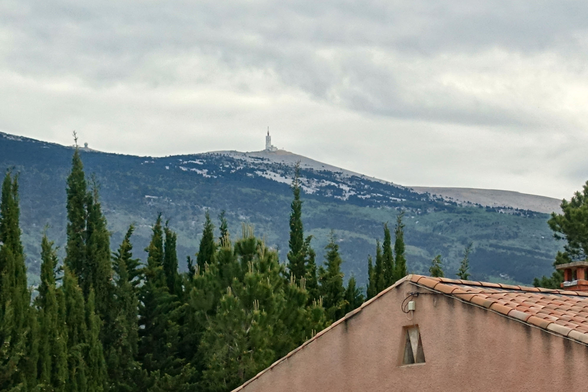
The ride began with a gentle four mile climb to Flassan. To my left I could see Mont Ventoux, backed by a grey sky, but not actually in the clouds. The wind this morning was almost non-existent.
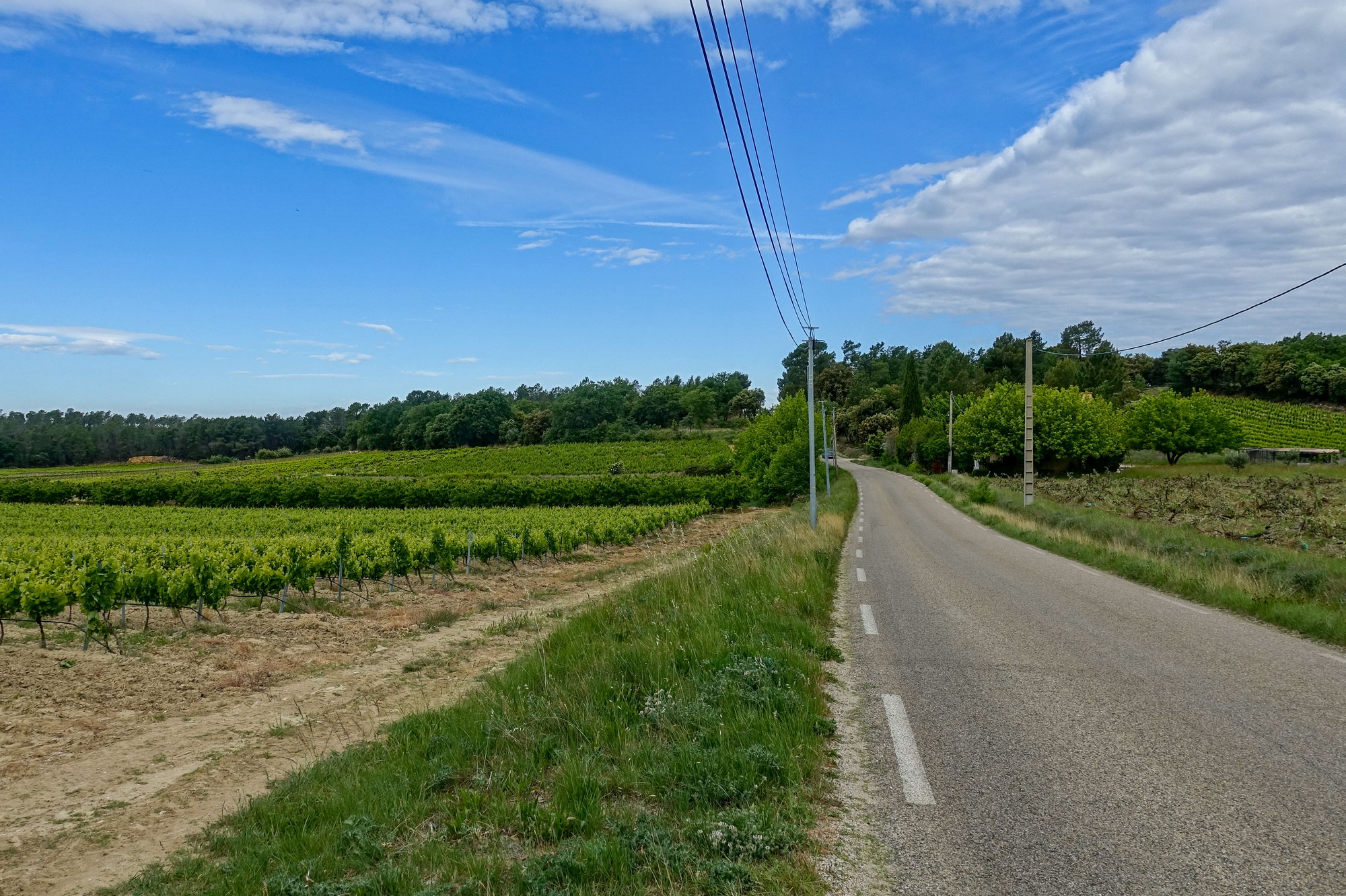
To the south, on my right, was the receding blue sky
There was no traffic about.
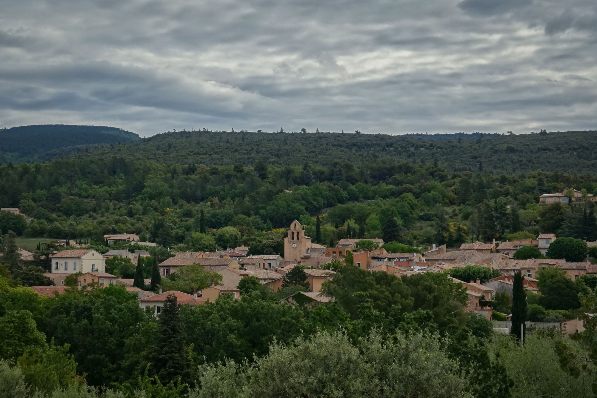
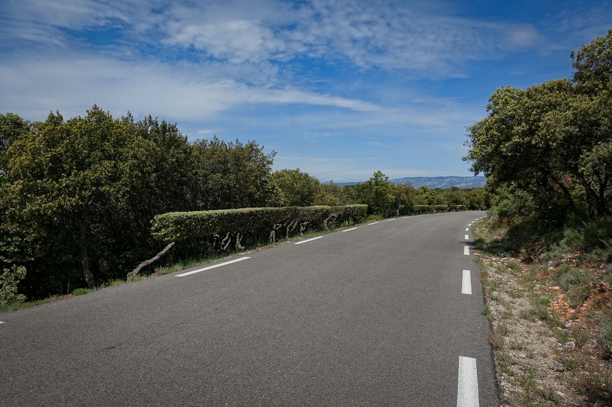
At Flassan I turned on to the D217, a very quiet road through what could be called a cross between forest and scrubland – maybe there’s a name for it.
That road climbed steadily for six and a half miles, mostly at around 5.5%. During that, I took my rain jacket off. It seemed like the sun was trying to break through again.
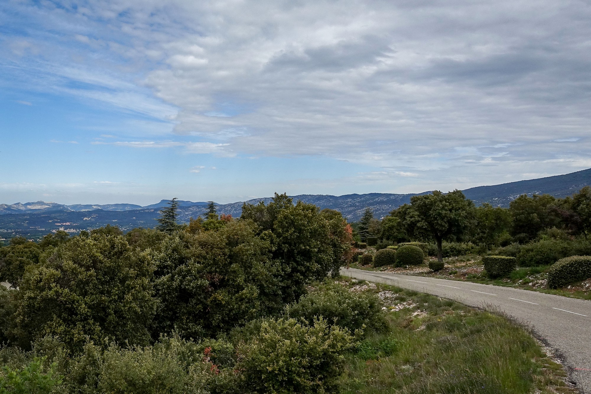
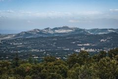
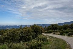
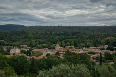
There were views back towards Bédoin, and beyond to the Dentelles de Montmirail, a small chain of mountains that are foothills of Mont Ventoux.
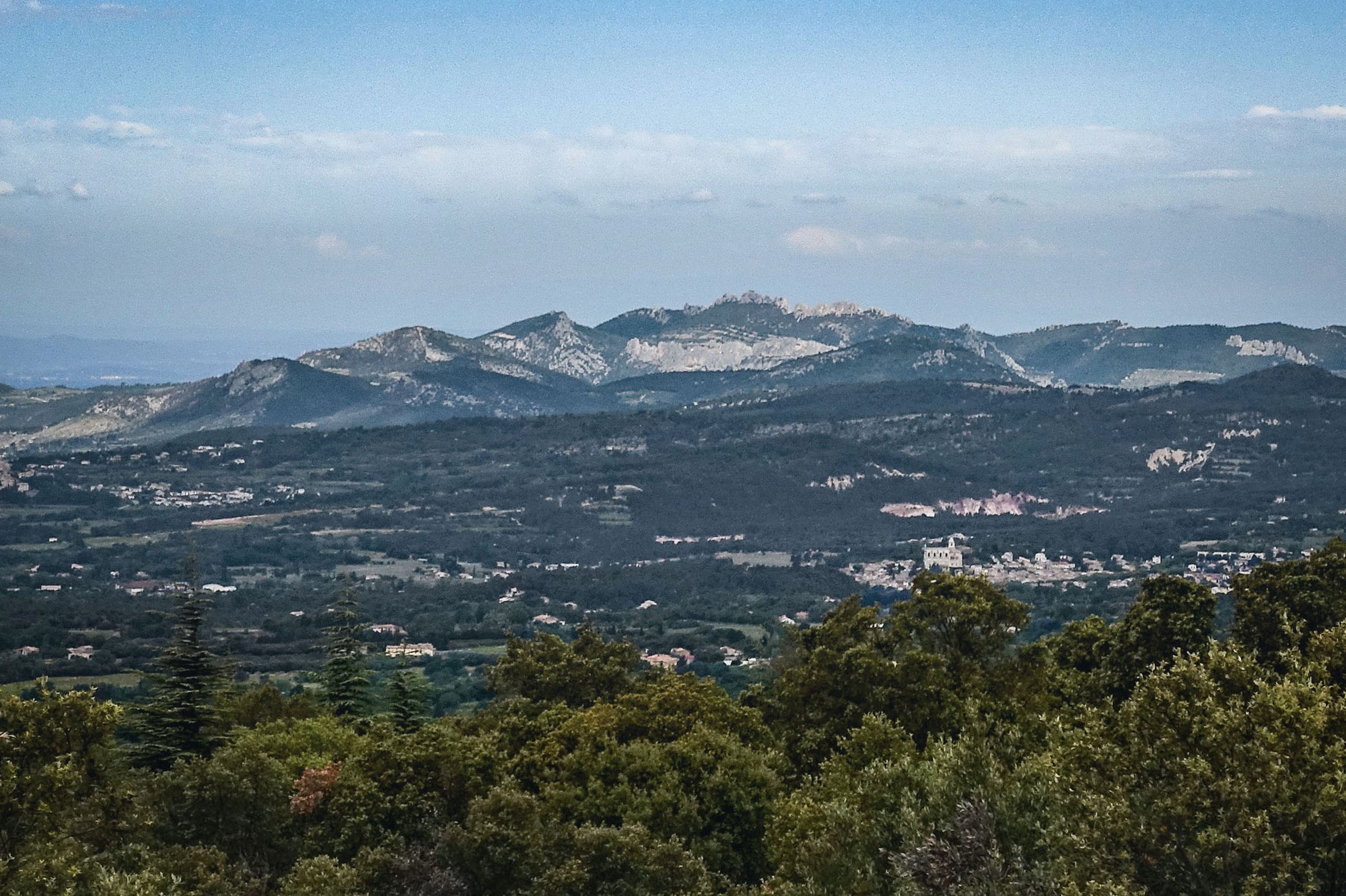
The area was deserted. A couple of other cyclists passed. At one point a large hare lept onto the road ahead, stood there for a second, and then bounced back into the scrub, out of sight.
And the climb went on. When I’d designed this ride I hadn’t really paid attention to the fact that it started with almost 12 miles of non-stop climb. That’s ninety minutes of constant effort. Not that the gradients were anything special.
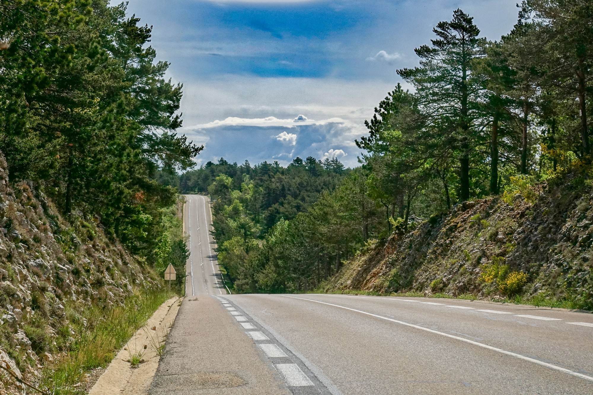
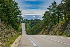
Eventually that quiet road joined a main road, wide and straight with wide cycle lanes on either side. There was hardly any traffic. Maybe three cars passed me while on the main road. It carried on climbing for another mile and a half to the intriguingly named ‘col N-D des abeilles’. N-D is Notre Dame I assume, so it’s literally Our Lady of the bees! Nice one.
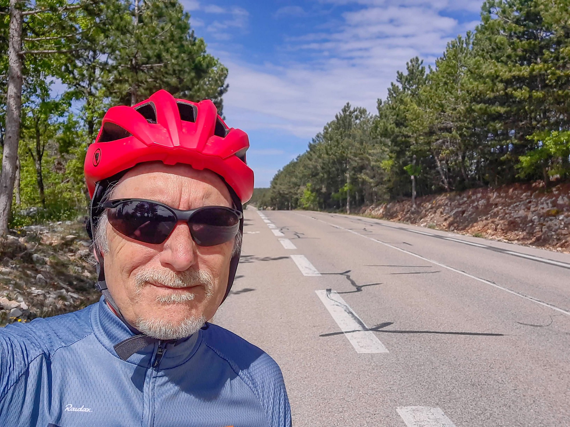
I got a col photo, or thought I had. When I looked later on my phone I couldn’t find it – weird. So I only have a photo of me facing the other way. I’m sure police forensics could enhance the reflection in my glasses and see the col sign as proof!
I could see thunder clouds forming on the horizon ahead, towards Sisteron and where I had stayed prior to Bédoin. They were too far away to be a threat yet though.
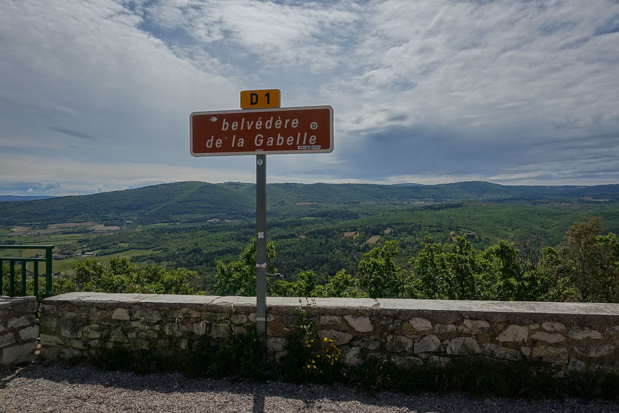
After a couple of roller-coaster ups and downs, the road descends to the belvédère de la Gabelle, two and a half miles after the col.
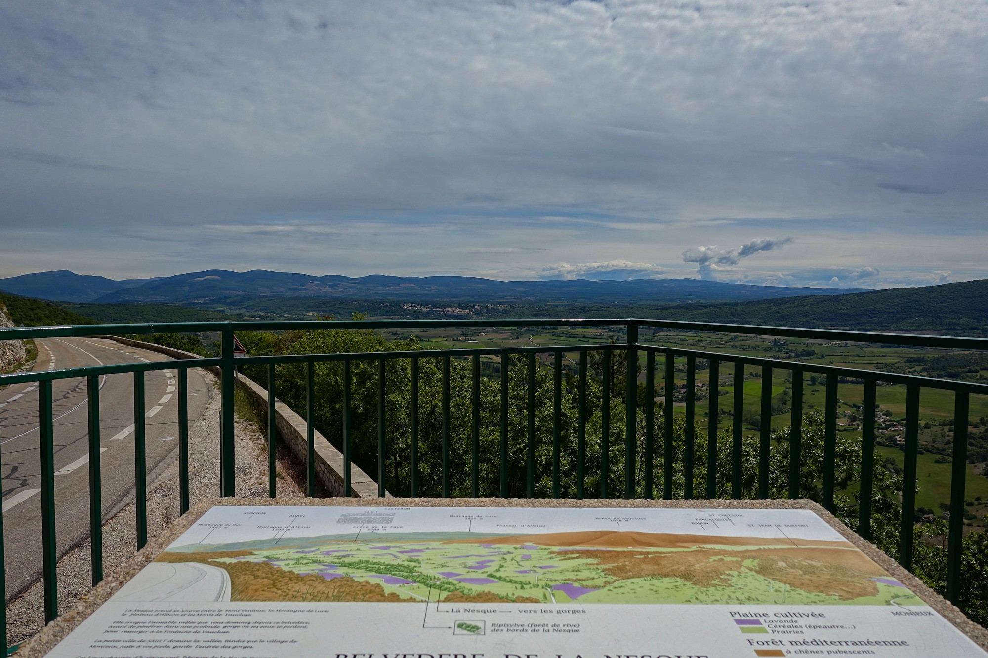
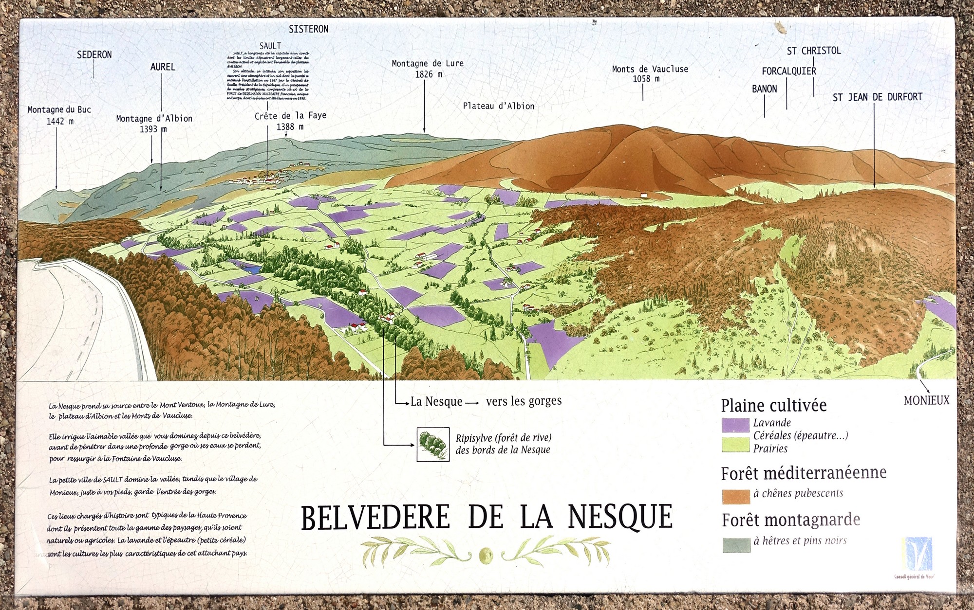
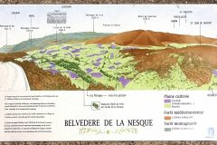
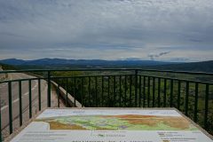
There was a lookout point over the Nesque river basin below, and far-reaching views to the east. A table d’orientation depicts the view and explains what you can see.
Typically I took a photo of it without reading it!
But when I did come to study it whilst editing photos later that day, after the ride, I discovered it contained many interesting facts. For starters, it confirms what I’d suspected at the time – that the peak in the distance is Montagne de Lure, which I had climbed two days ago. Secondly, it answers the question I’d asked further up this page about the name of the scrubby forest: it’s called Forêt méditerranéenne, and it then says “à chênes pubescents”, which translates to Downy Oak, the type of oak tree I’d been seeing, which is also linked to the animal I got to see later on this ride. Forêt méditerranéenne is a biome defined by the World Wide Fund for Nature. See links below for more details. This is the sort of forest (seems too strong a word) I’ve seen on many of my rides, especially those nearer the Med. Thirdly, it tells us that the river Nesque “irrigates the pleasant valley that you overlook from this belvedere, before entering a deep gorge, where its waters are lost, to reappear at the Fontaine de Vaucluse”. That was interesting to me because I was at Fontaine de Vaucluse in 2019, and I didn’t know of the connection. The Nesque also flows through Pernes-les-Fontaines, another place I cycled to in 2016.
As I’ve mentioned before, everything is linked to everything else!
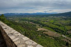
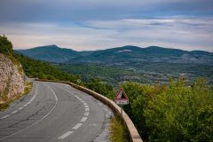
Past the belvedere the main road descends around the edge of the hills with spectacular views over the Nesque river basin, and the road along which I’d soon be cycling.
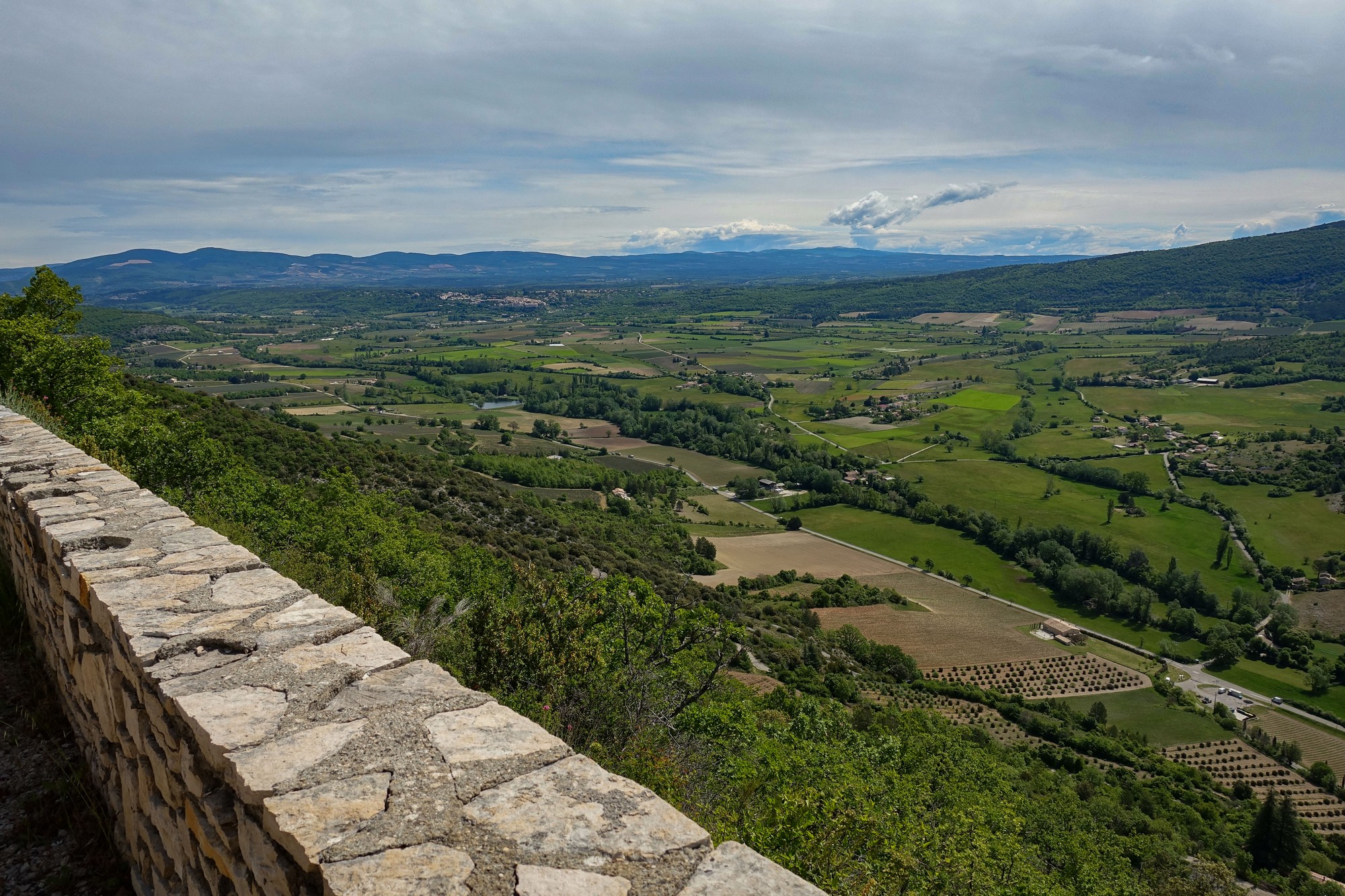
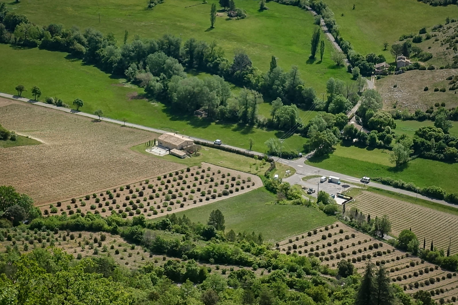
Two miles after the belvedere the road has descended to the valley floor.
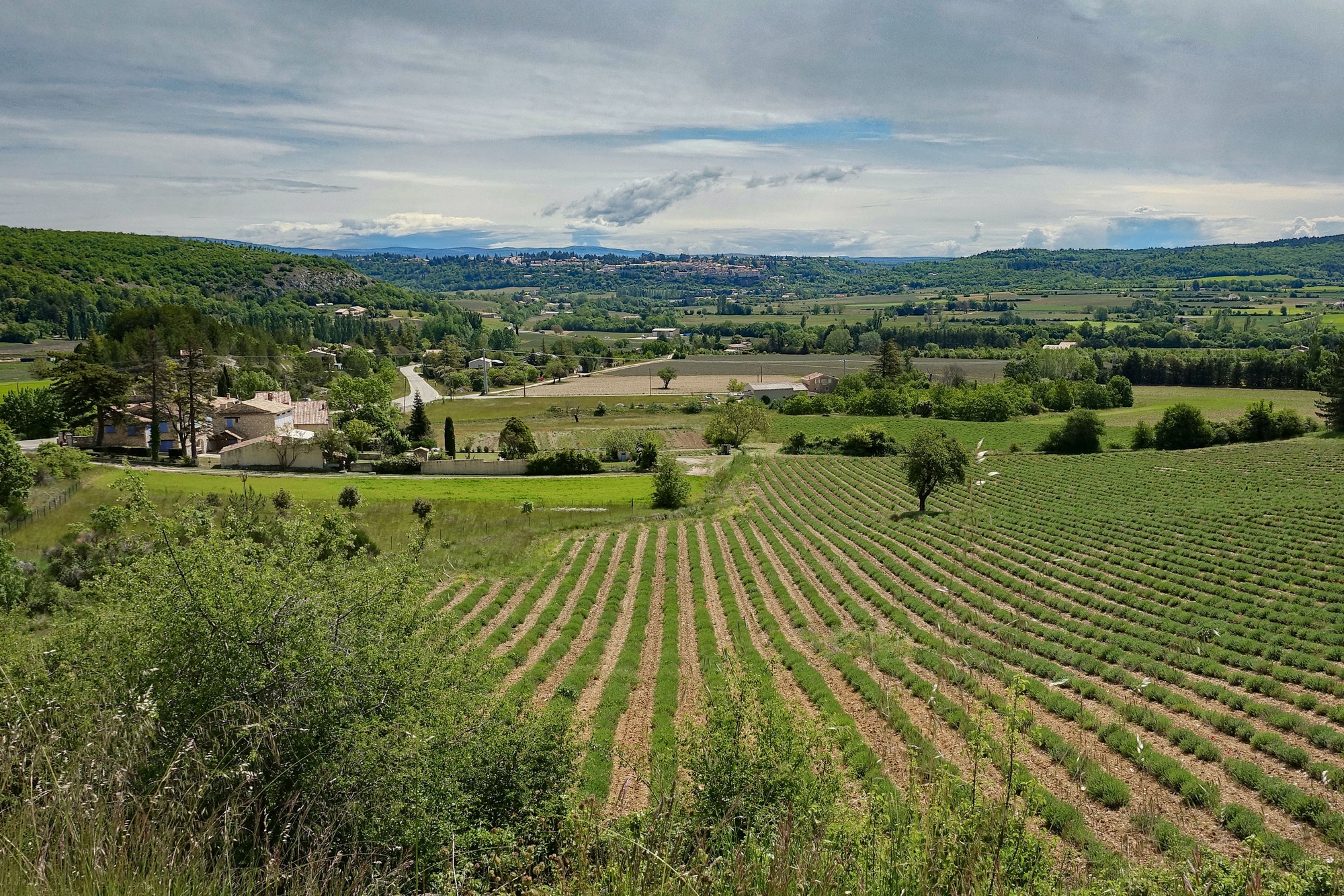
Towards Sault I took the first turning to the right to double-back on myself and ride along the valley, with the belvedere now somewhere up there to my right. The road follows the Nesque river, which is not in view, and there is no indication ahead of where the massive gorge might be. Then it starts gently climbing for two miles., and the ground starts to drop away to the left.
It gradually starts to look a bit more ‘gorgeous’.
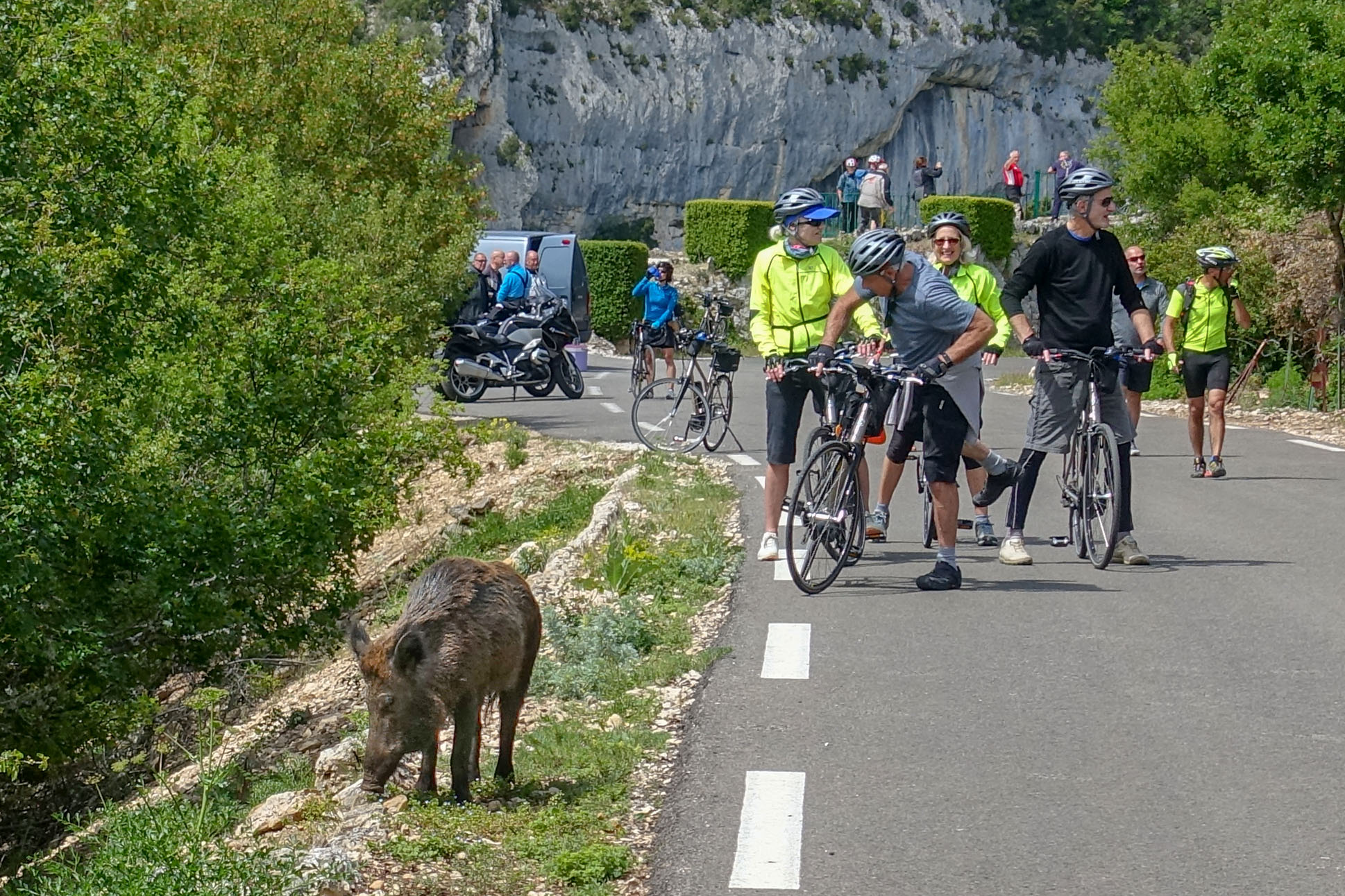
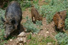
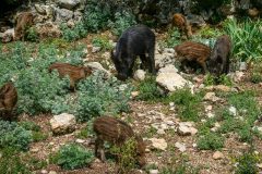
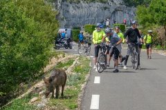
I came round a bend to see loads of cyclists standing around in the road, most taking photos/videos of a group of wild boar at the side of (and in) the road.
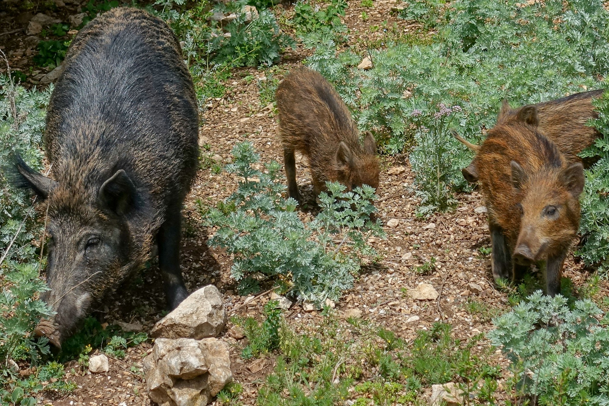
As I approached I saw a sow lead her three piglets across the road. Unfortunately I had no time to get my camera out to capture this delightful sight.
The animals seemed completely unperturbed by all the cyclists and bikers around.
And here is the connection I was talking about earlier: Wild boar love truffles and a favoured species of tree for truffle production is the Downy Oak (also known as the Truffle Oak) and Downy Oaks thrive in the conditions prevalent here in this Forêt méditerranéenne environment.
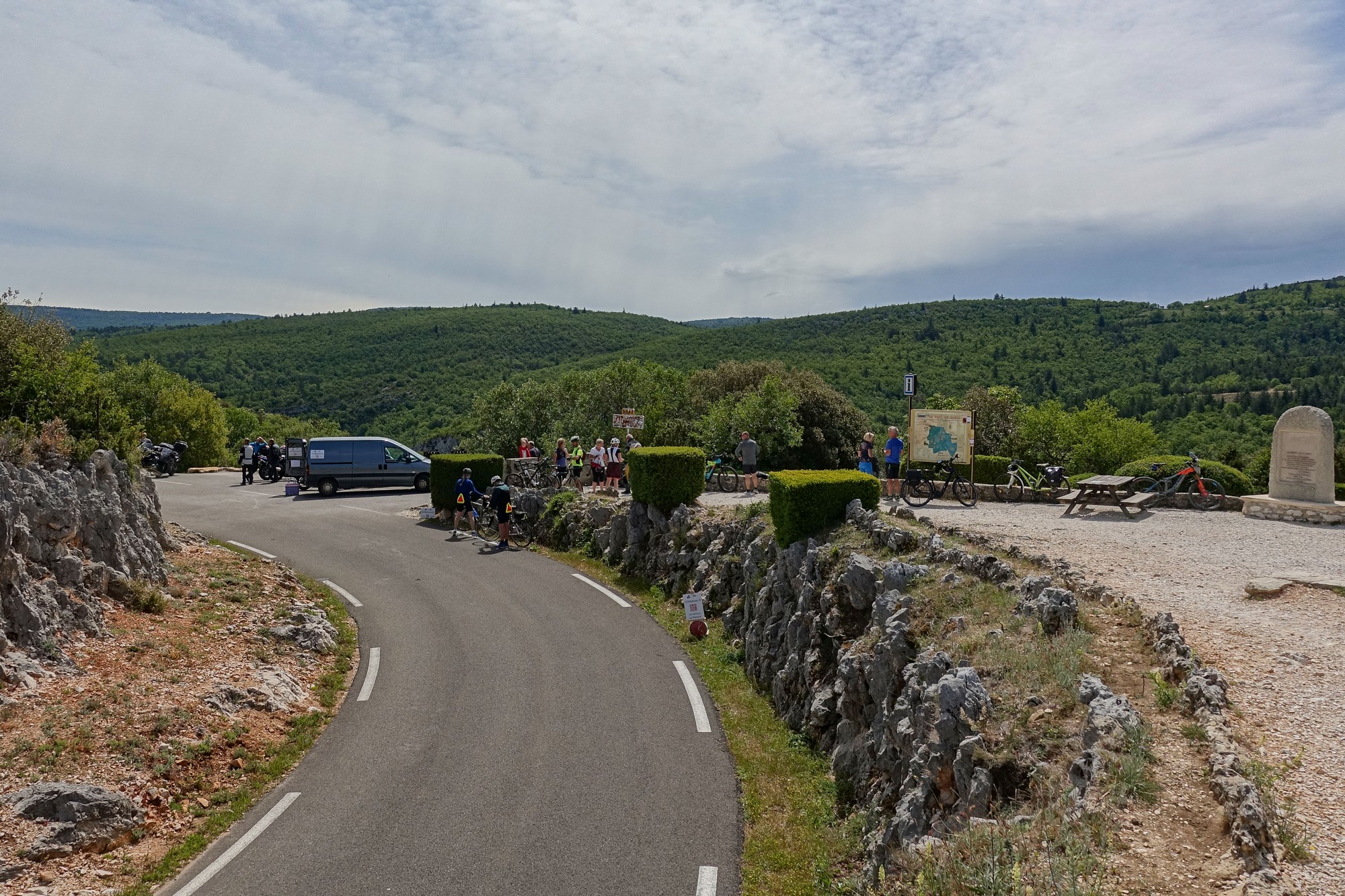
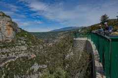
Just beyond the wild boar was the Belvédère le Castelleras, a lookout point overlooking the gorge.
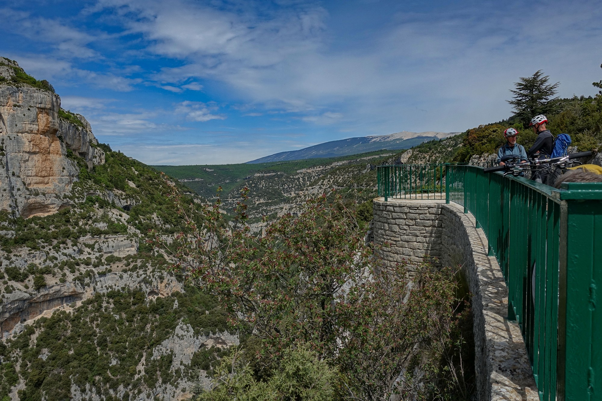
Bikers and cyclists were milling around.
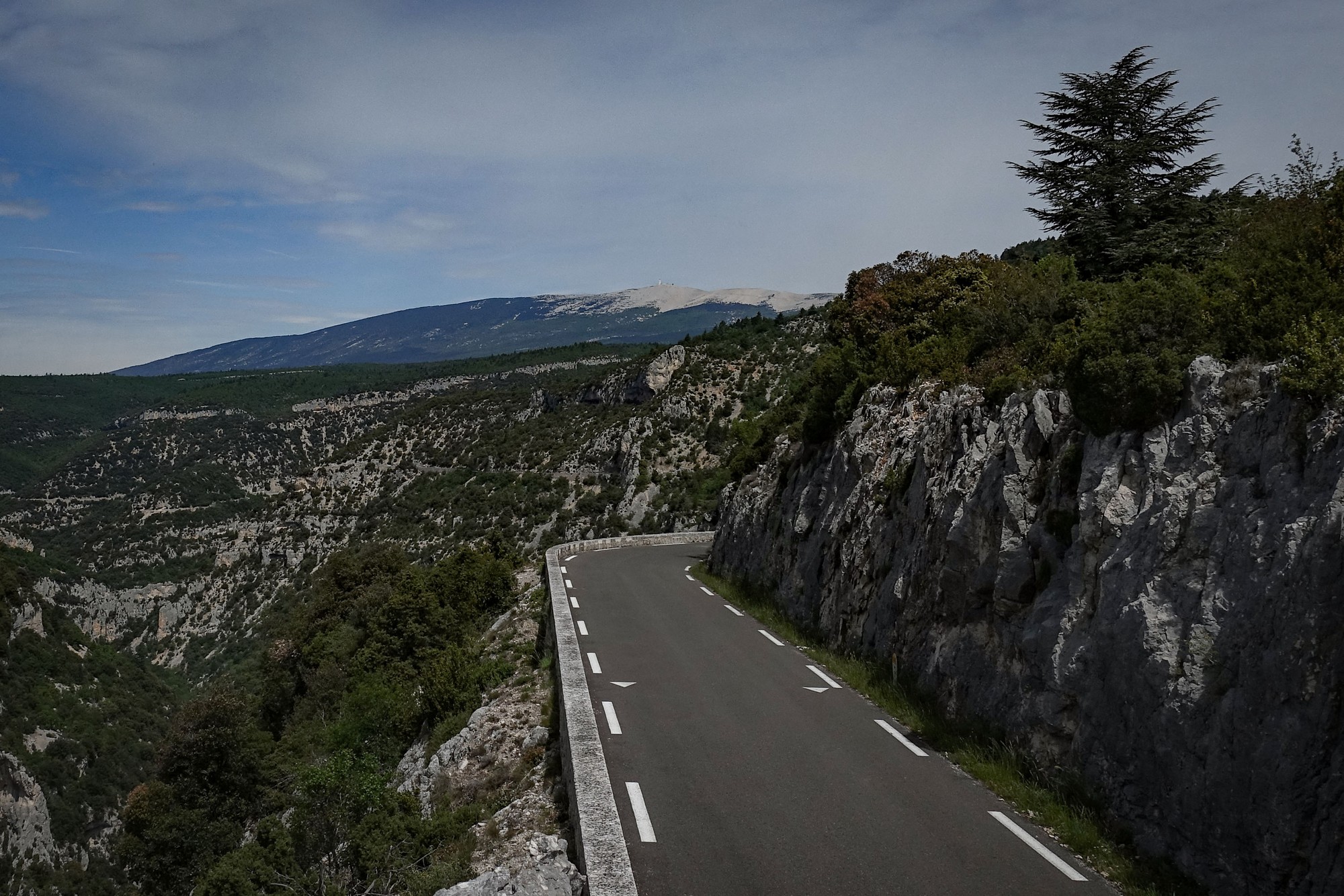
In contrast to my ride around the Verdon Gorge, during which I saw maybe one other cyclist, there were hundreds about today, in groups, pairs, and solo. Most were on road bikes, some on mountain bikes and, notably, lots were on electric bikes. That’s a trend that will only increase I expect.
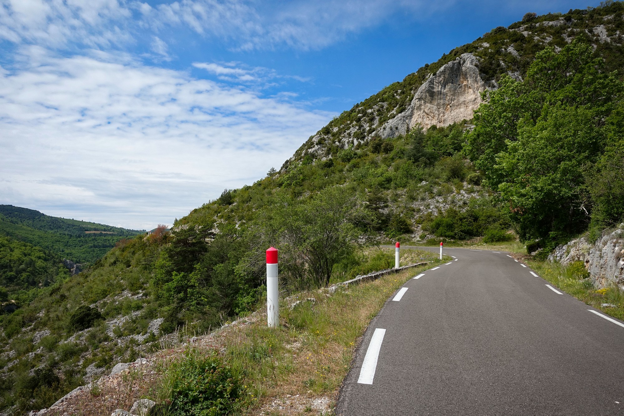
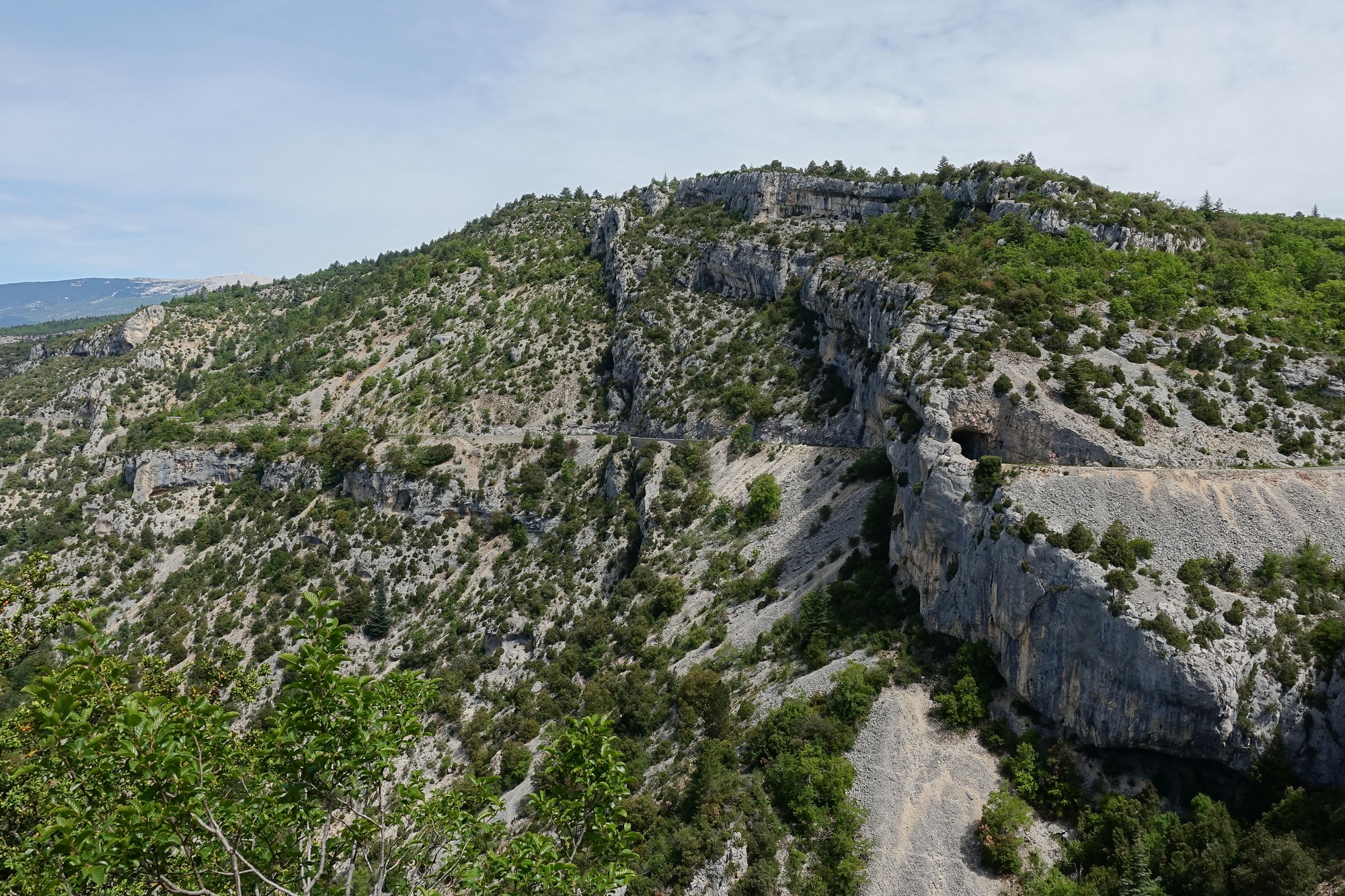
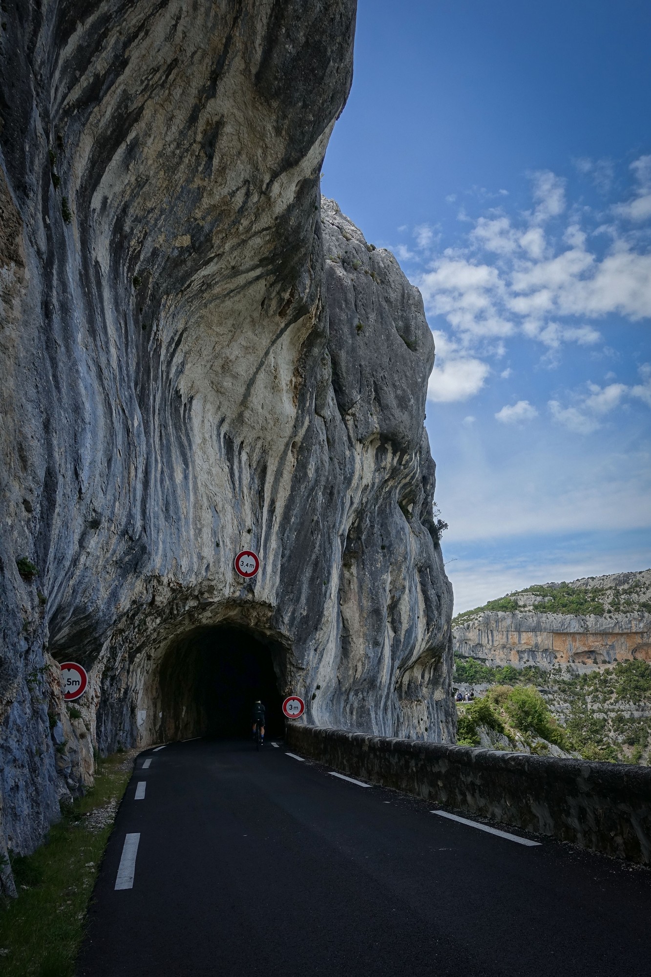
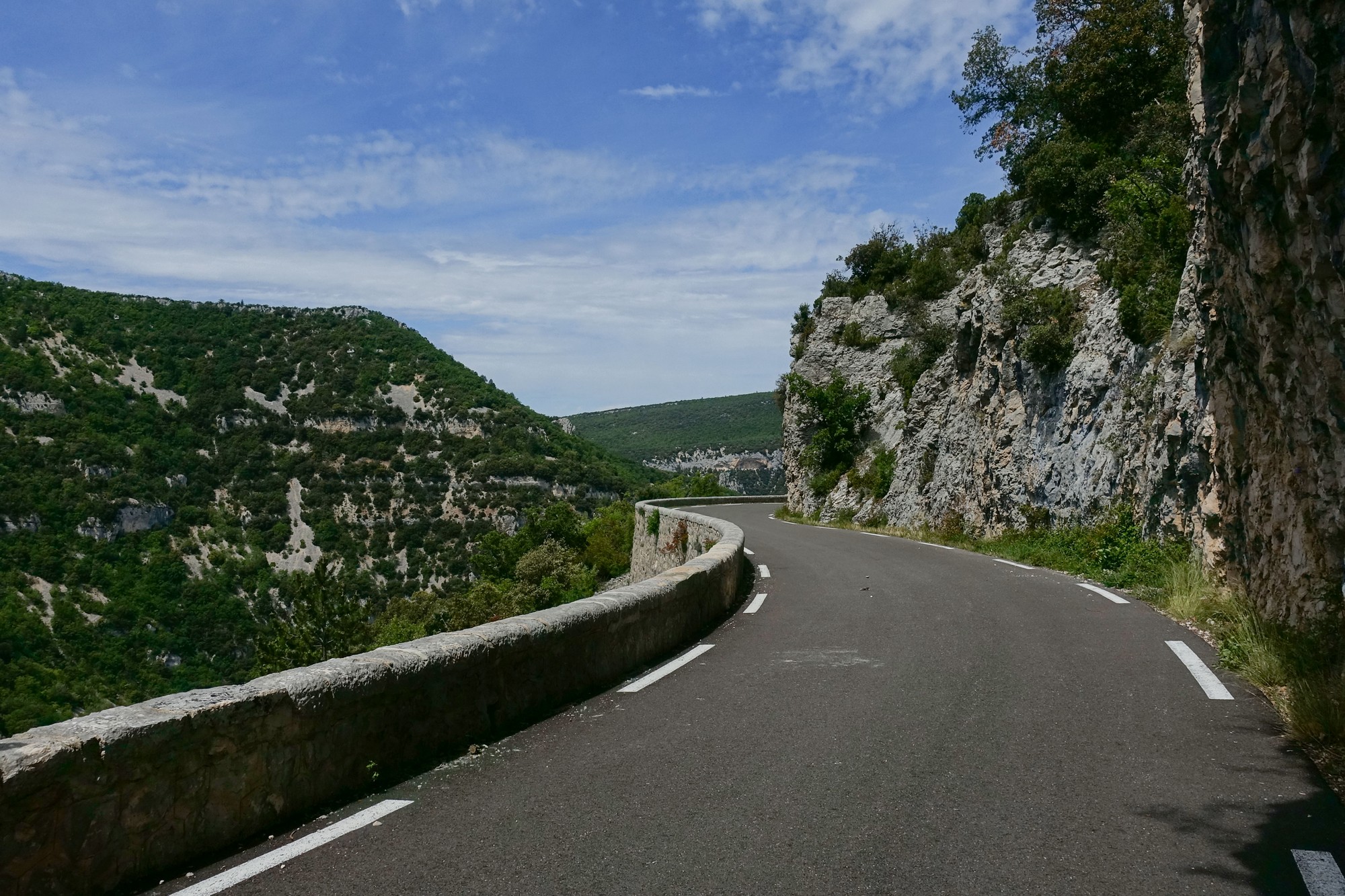
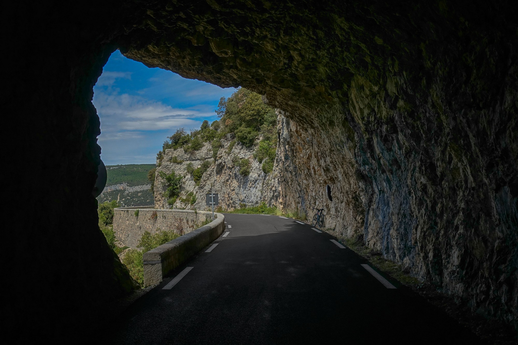
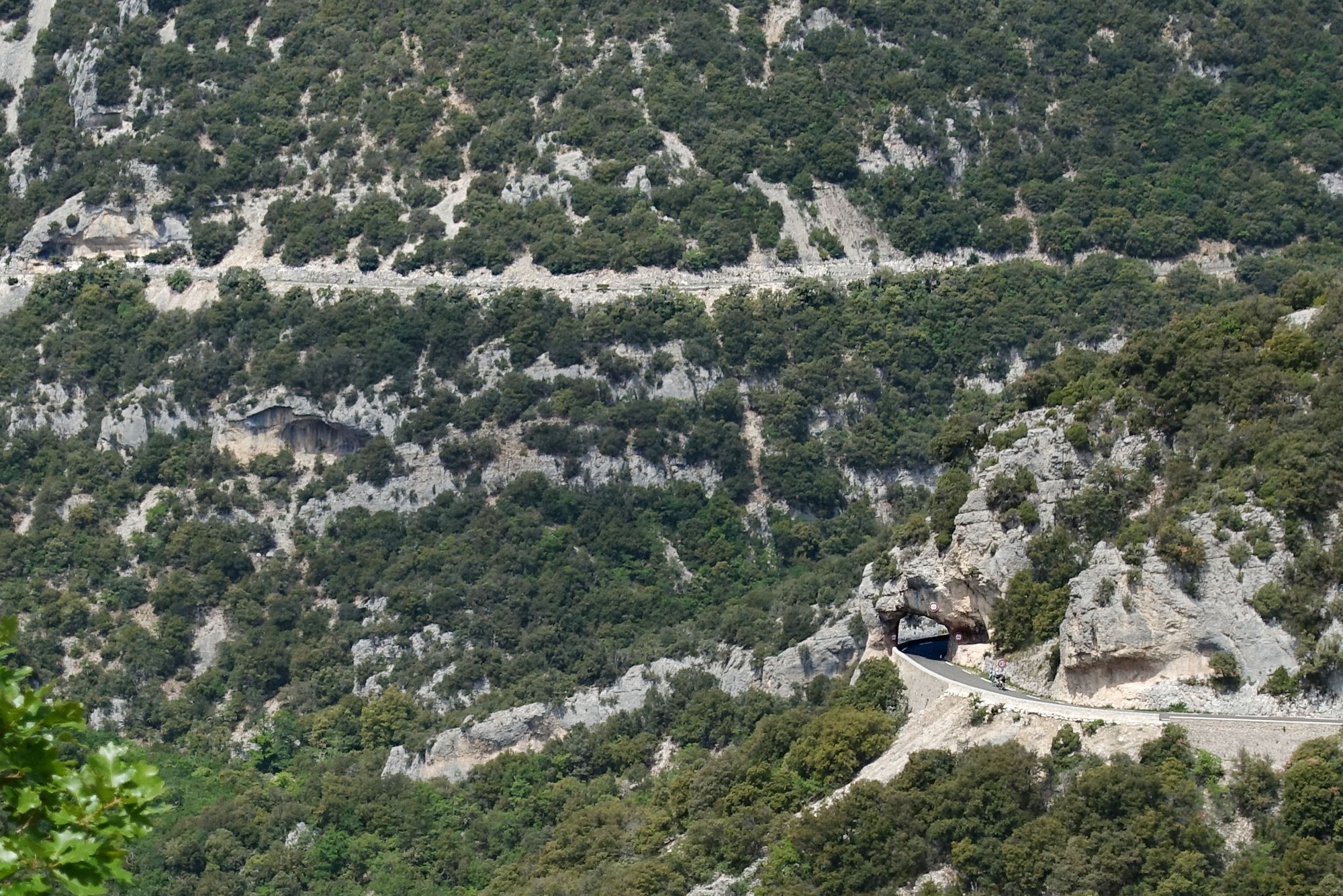
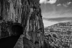
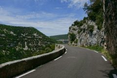
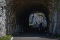
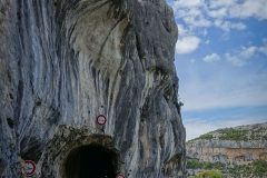
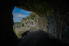
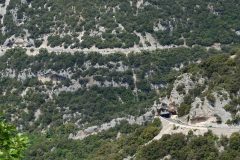
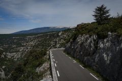
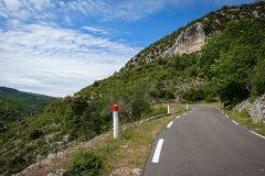
After the belvedere, the road winds its way around the gorge, descending gradually. Several tunnels add interest along the way.
The road surface is excellent. This gorge is a big tourist attraction so it is well looked after.
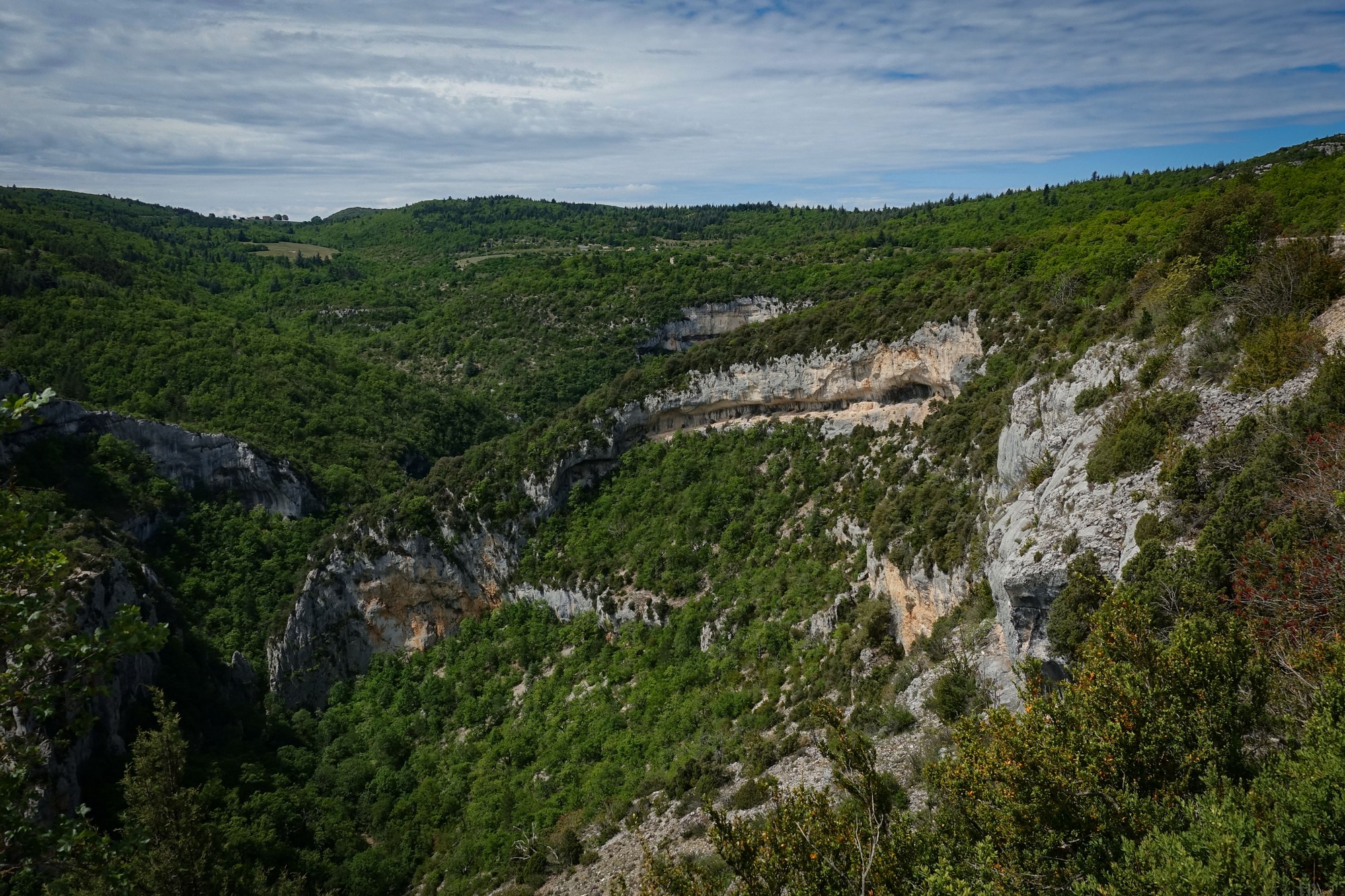
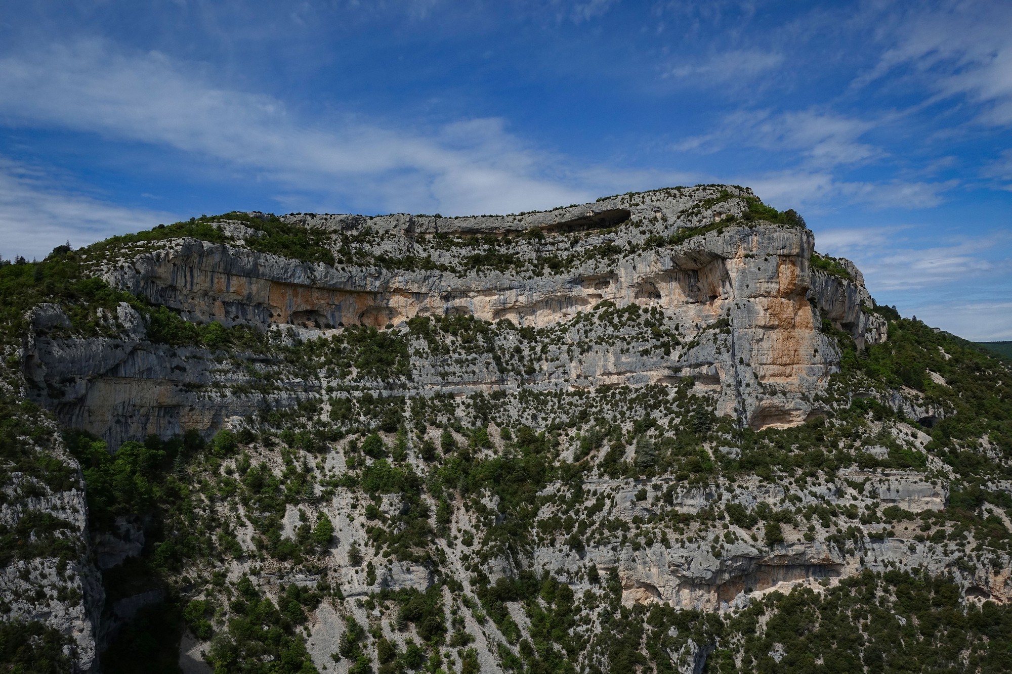
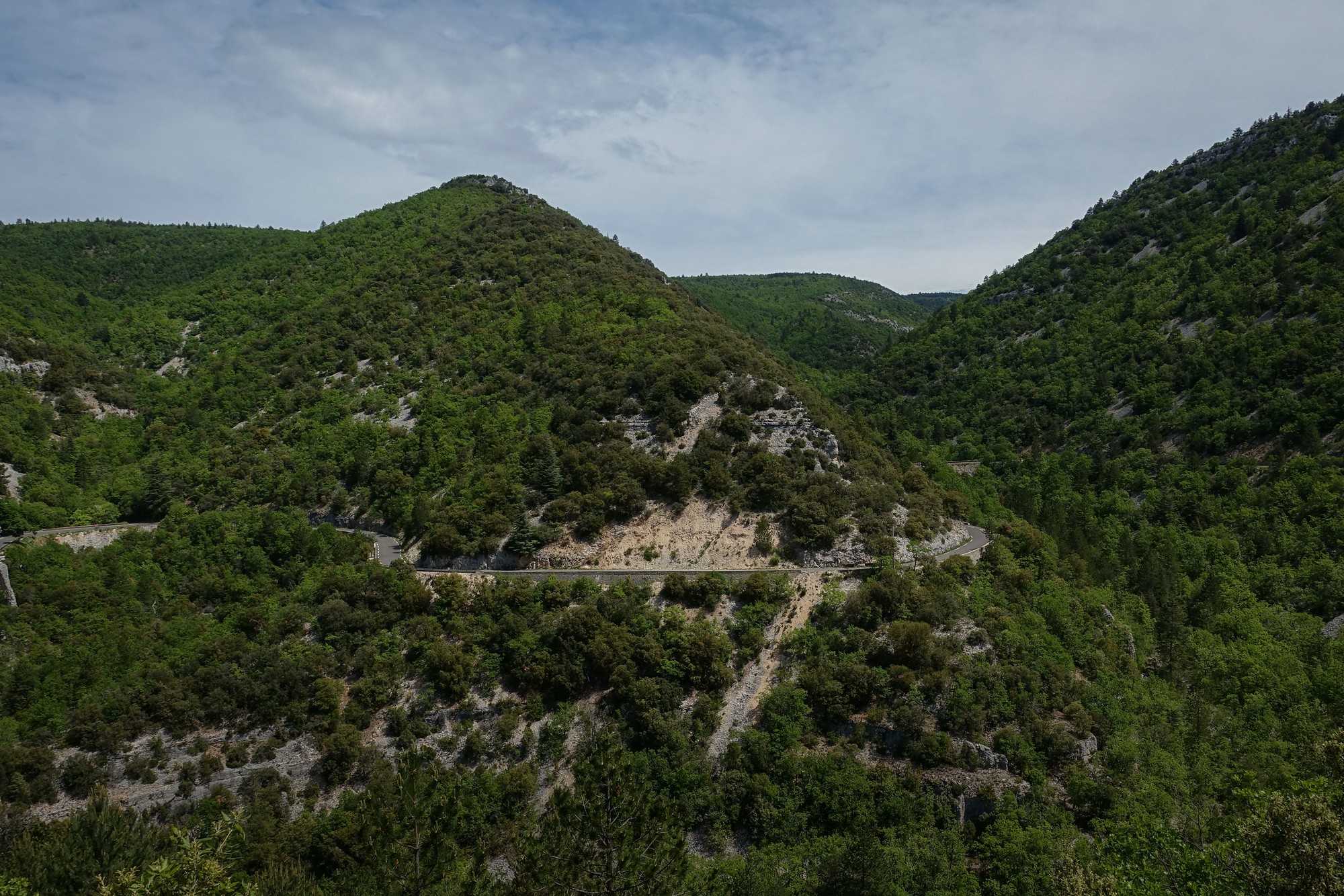
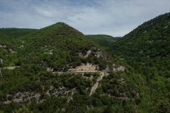
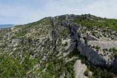
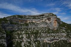
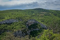
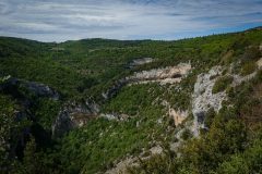
I took quite a few photos, yet I was aware that I wouldn’t be able to capture the three dimensional relief. The whole gorge was in sunlight so there were few shadows to provide a sense of depth. The Gorges de la Nesque is not a very ‘rocky’ gorge; obviously it’s made of rock, but much of it is covered with greenery, which mutes any topographical drama. I never once saw the river Nesque.
Nevertheless it is a spectacular road, particularly enjoyable in this downhill direction. And it certainly provides good value as it never seems to end; in fact the fun lasts for nine miles!
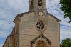
But, as all good things inevitably must, the excitement ends as the road eventually turns away from the now dwindling gorge and heads through more of that forêt méditerranéenne, on its way to the lovely village of Villes-sur-Auzon.
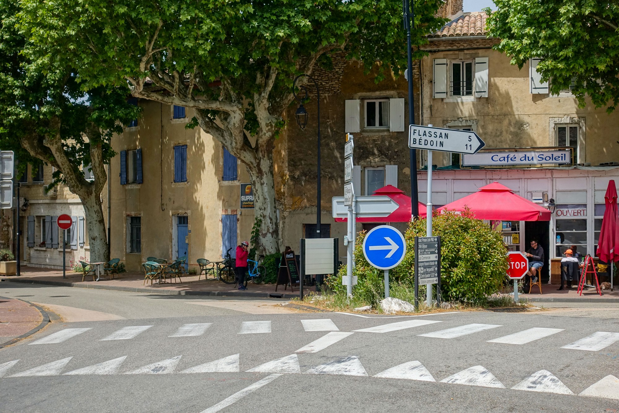
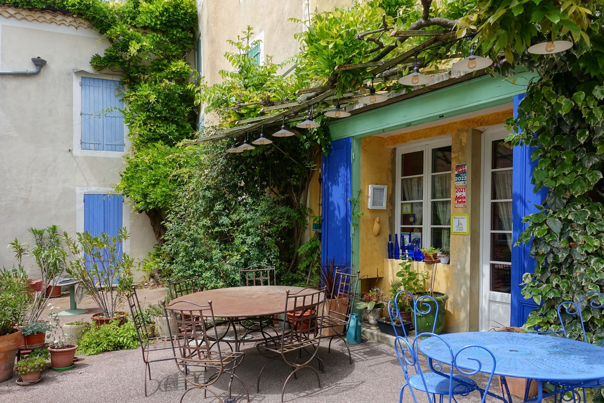
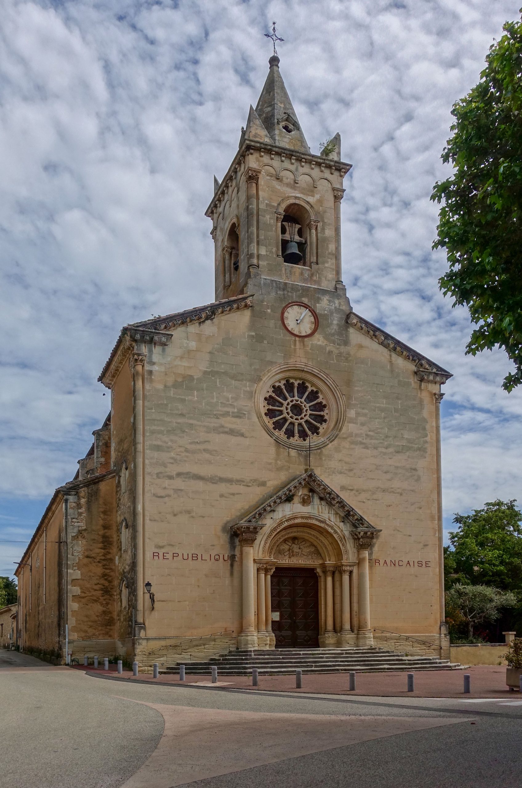
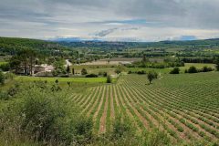
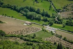
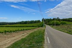
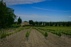
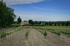
The three miles to the next village of Mormoiron were uninteresting by comparison. And the last four, gently uphill, miles back to Bédoin, although through pleasant open vineyards, were blighted by a persistent and strengthening headwind.
I got back more tired than I would have expected. I can only put it down to the sun.
So, les Gorges de la Nesque. In my opinion it is not as dramatic as deeper, rockier gorges such as les Gorges de Daluis , les Gorges du Cians or les Gorges de la Bourne. At no point today was I moved to verbalise expletives of amazement, like I have when riding through other gorges. I think the main reasons are that it’s too wide (not a narrow canyon) and too tree-covered. Still, it’s a very nice piece of road and does go on for nine miles.
Further reading
- Forêt méditerranéenne – information about this biome
- Quercus pubescens (Downy Oak) – about the tree
- Wild boar
- Fontaine de Vaucluse – about the spring, not the commune
- La Nesque Propre – a sort of Nesque preservation society. Loads of info
- Gorges de la Nesque
Gallery
Click to enlarge / see slideshow


