Distance: 57.7 miles. Elevation: 4506 ft.
Col de la Malepère | Col de Lairole | Col de Port | Col de Soult | Col de Gardie | Col du Loup | Col de Limoux | Col d'Al Bosc | Col d'Enterri
I did this ride while on holiday in the Aude department of south west France. When planning where to ride, I noticed that there were several recognised cols in the area around Limoux, so I designed a route to take in as many as possible without making it ridiculously convoluted. Since joining le Club de Cent Cols I now check each of my routes to see how many cols I can fit into the ride so that I can add them to my list. It's easy to see how this might become an obsession, but hopefully I won't let it negatively impact my choice of roads.
I managed to squeeze nine cols into this ride! Two of those didn't fit smoothly into the overall flow of the route, so these necessitated a short diversion to the col and then back to resume the course.
The weather has been mid to high 30s°C lately, so I decided to get up early for a change and miss the hottest part of the day. I left at 6:30 AM with the temperature at 18°C. I wore short sleeves and no base layer.
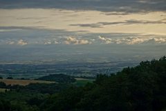
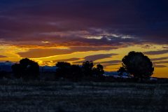
I had a banana to set me up for the first ten miles of climbing. The morning air was cool and very peaceful with hardly anyone else around. Dawn was just breaking over the Massif des Corbières, foothills of the Pyrenees.
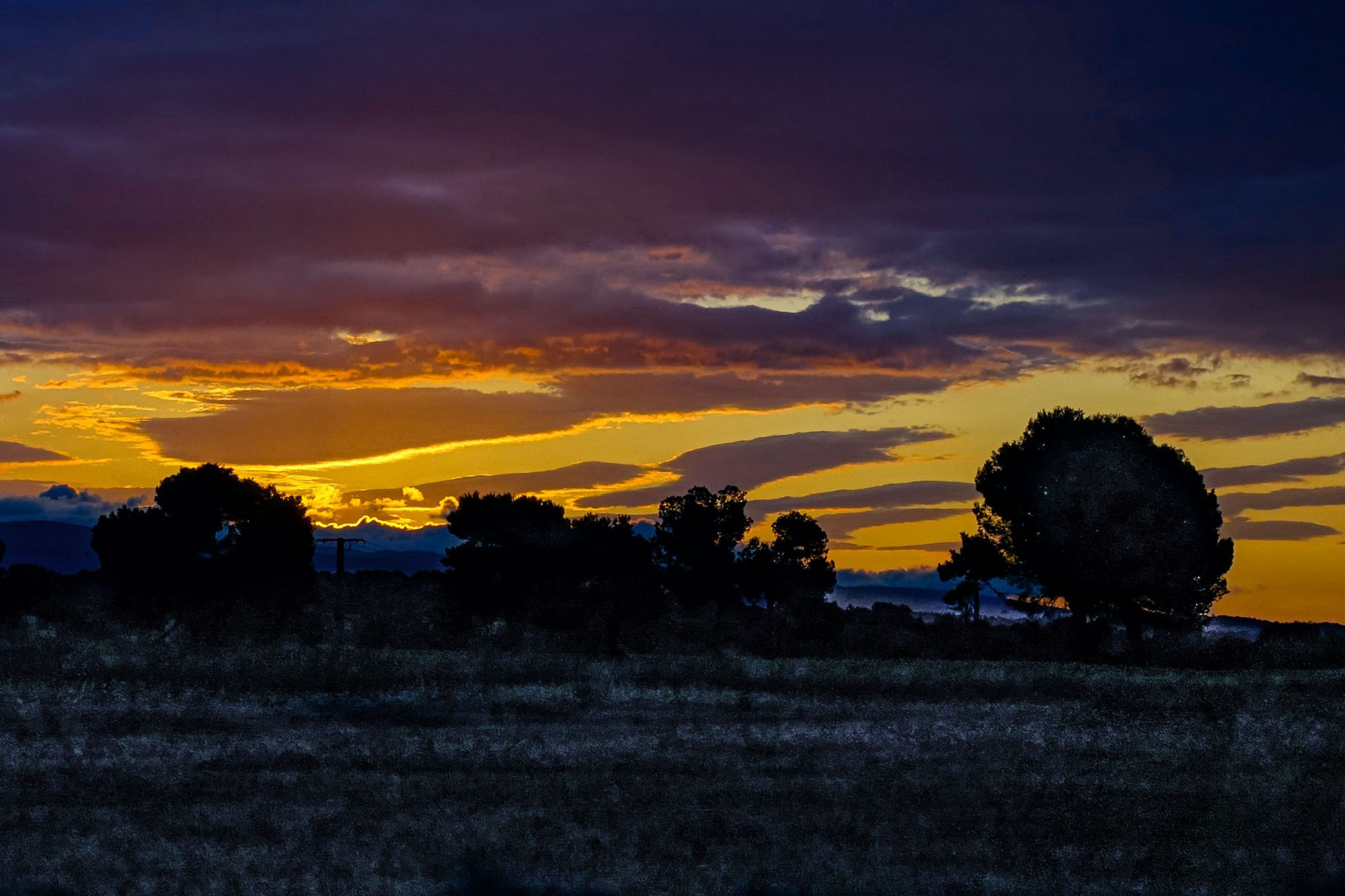
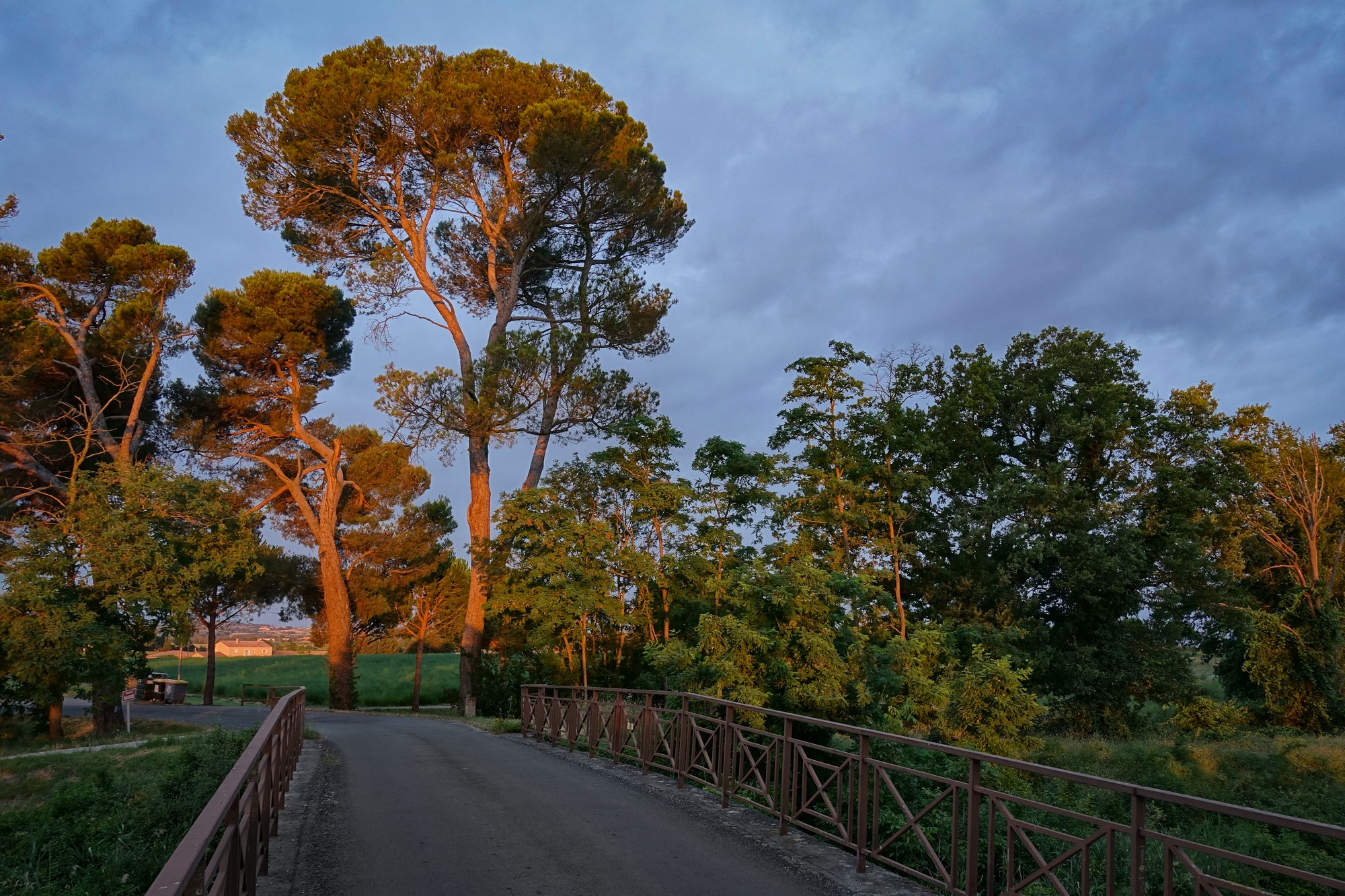
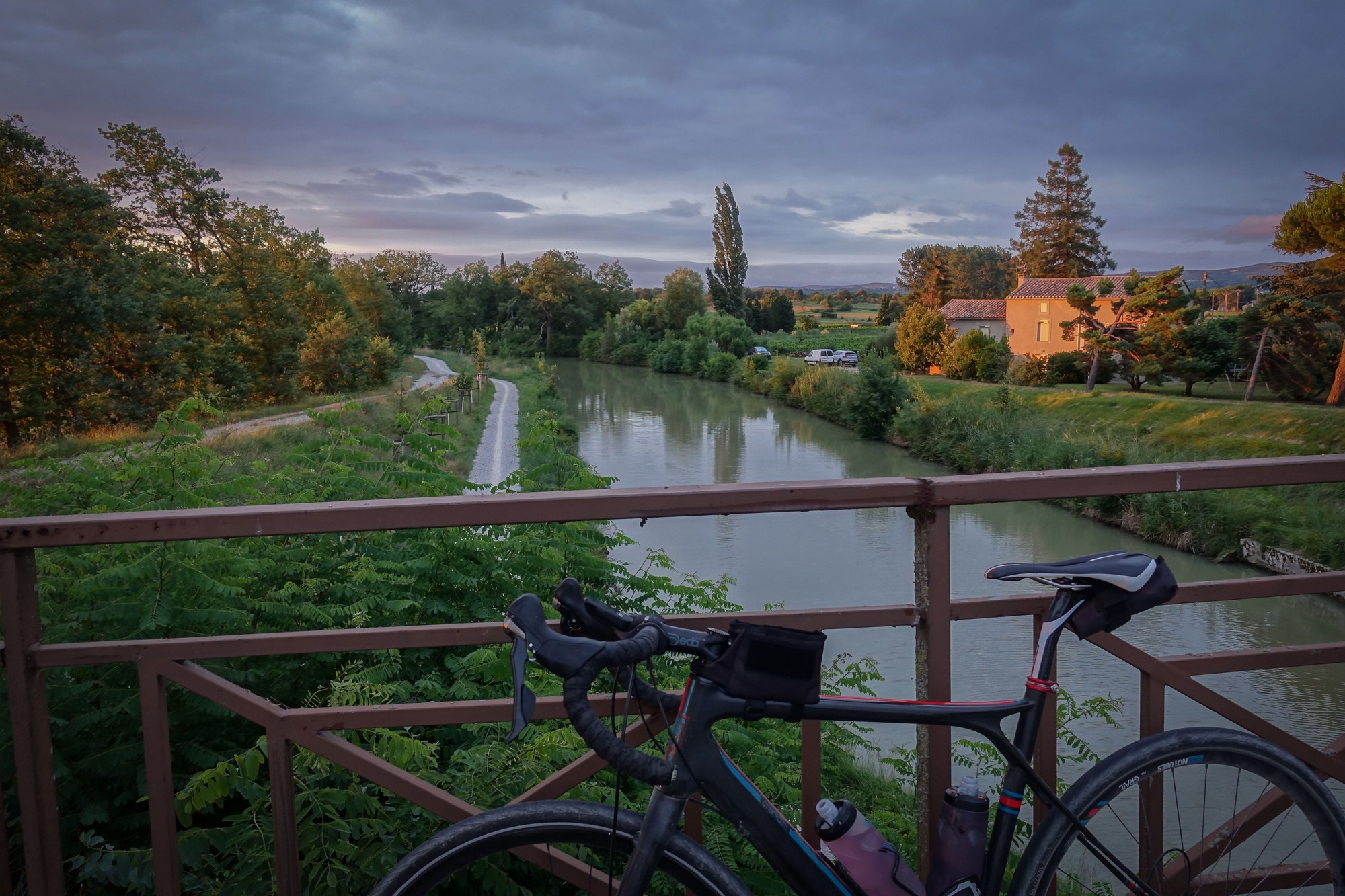
The climb towards Col de la Malepère, the highest point of today's ride, was very peaceful. Not a single vehicle passed me and there was nobody around. It was almost eerily quiet.
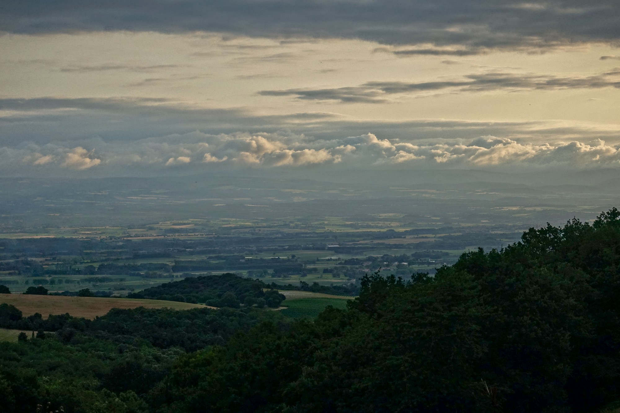
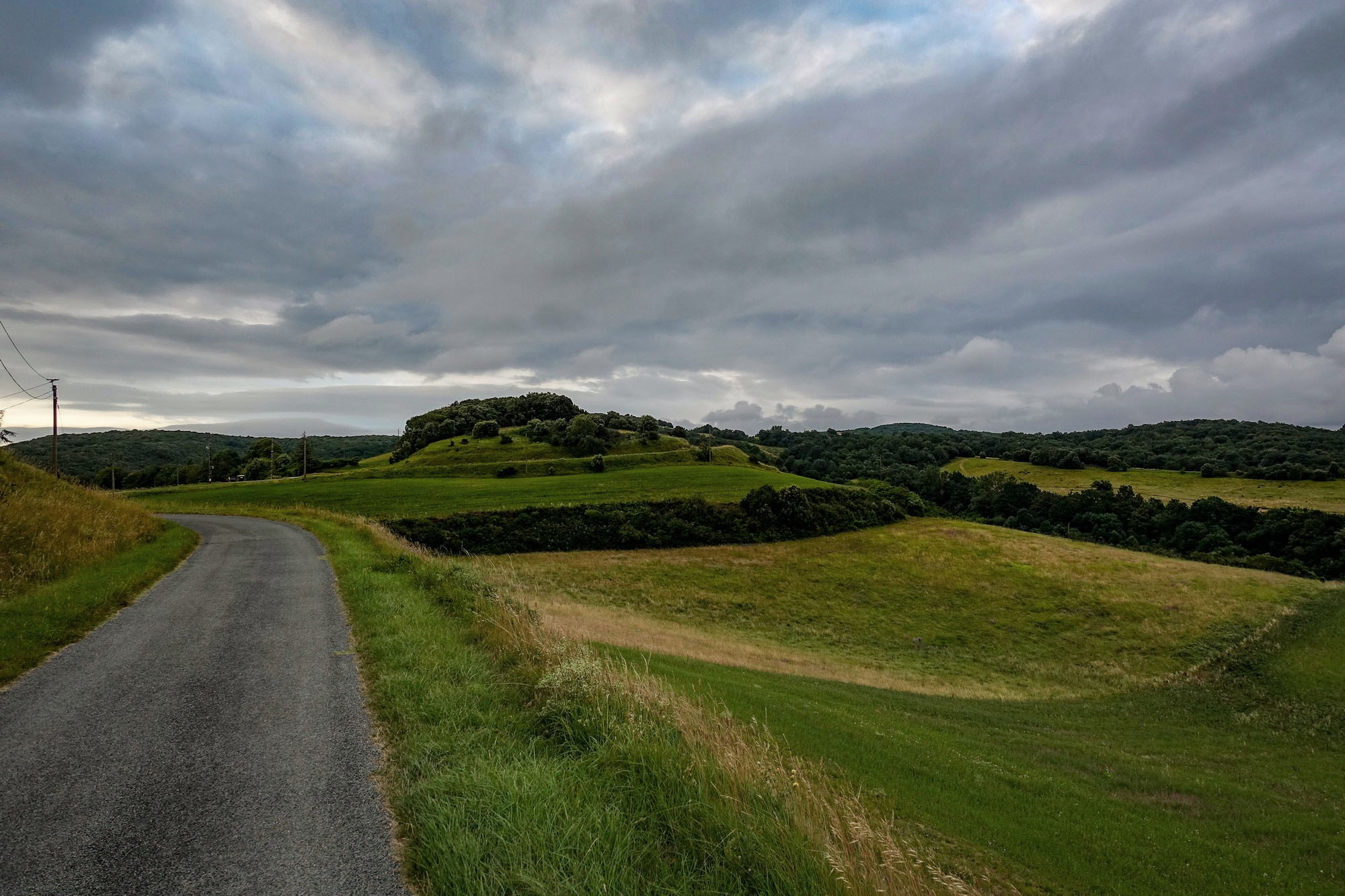
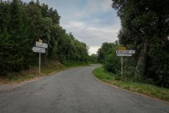
Col de la Malepère was one of the cols where I had to divert a few yards up the road and back to claim it. There wasn't much there, and no col sign.
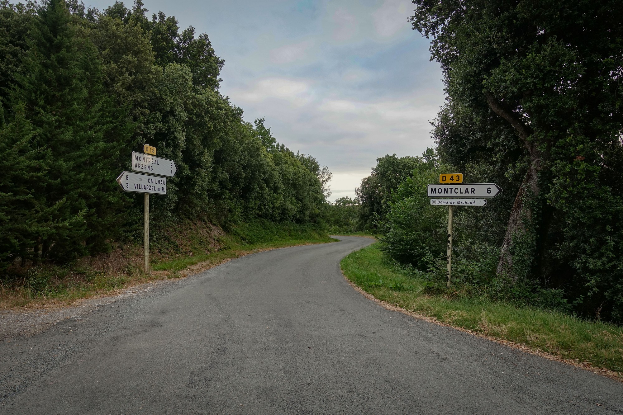
On the descent from Col de la Malepère I saw a handful of cyclists climbing. There was still no other traffic.
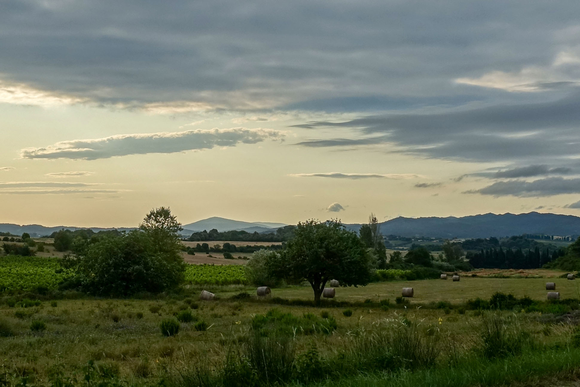
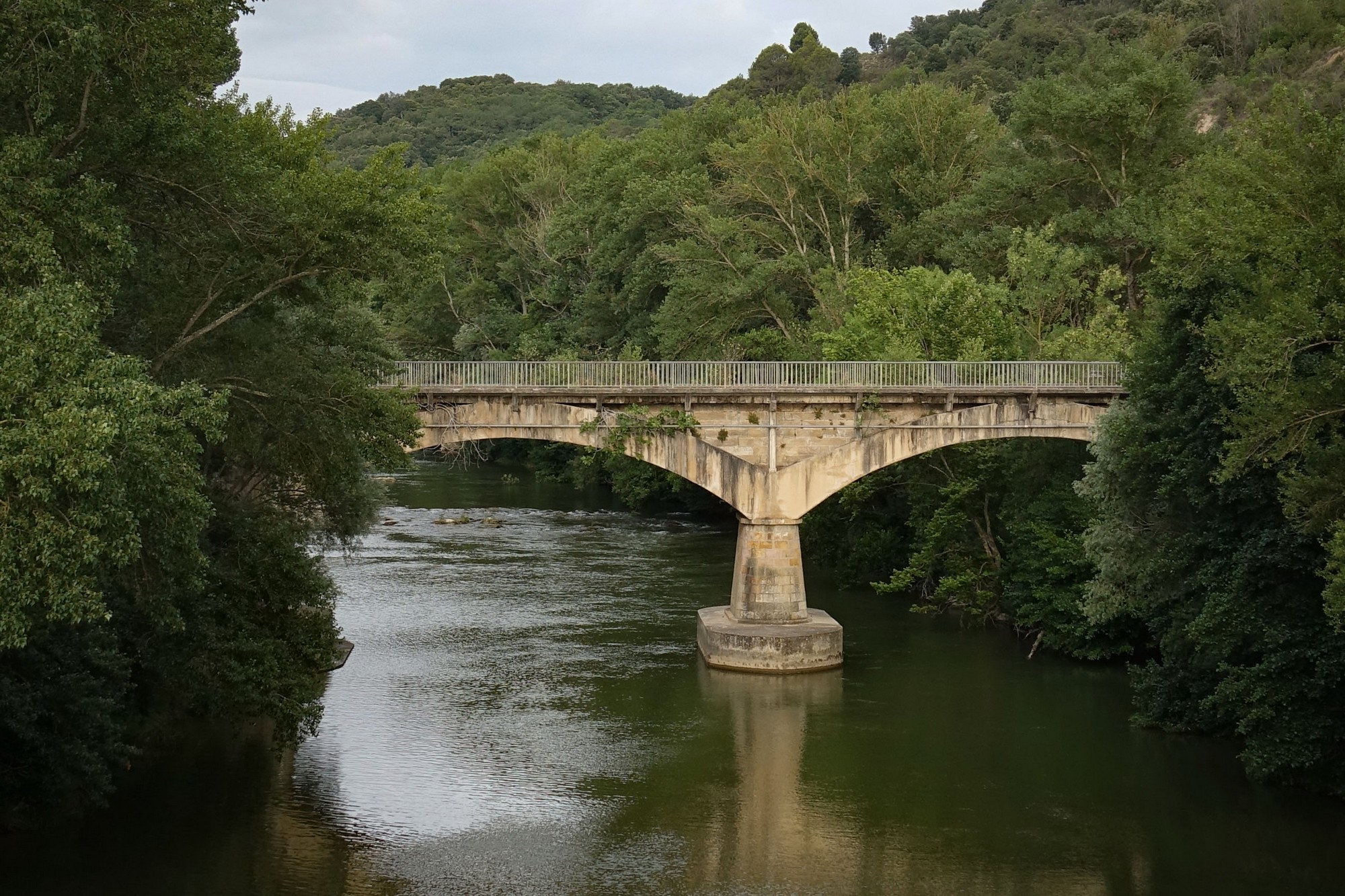
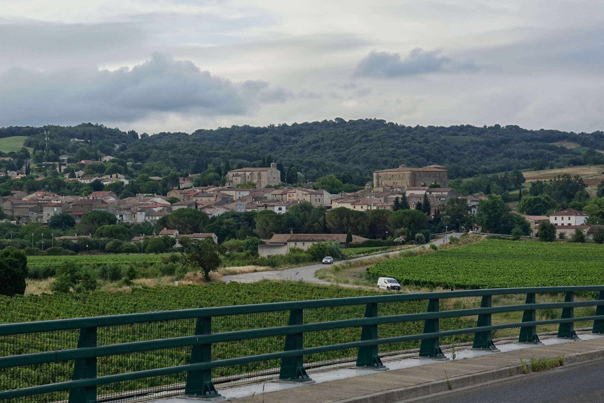
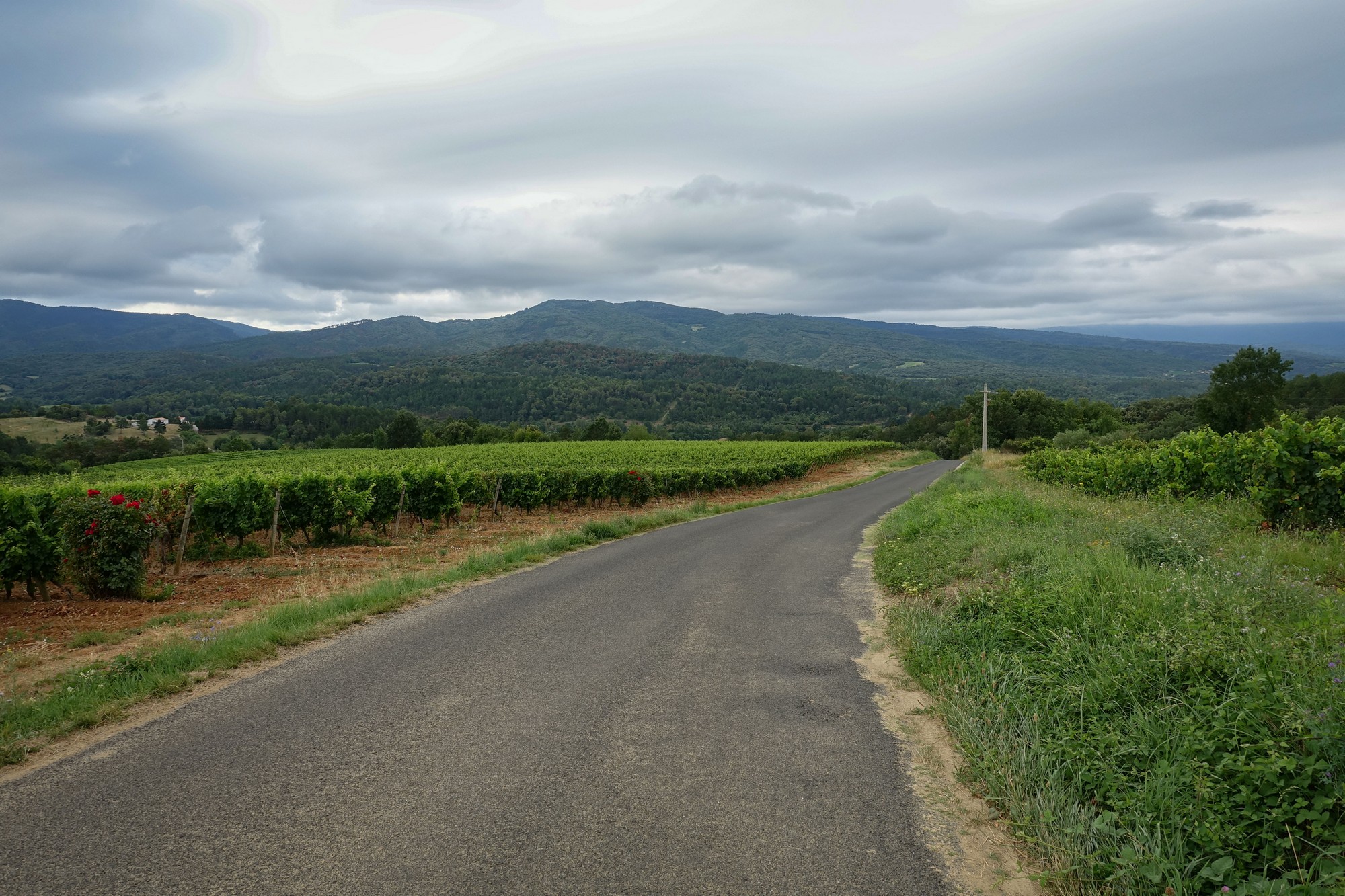
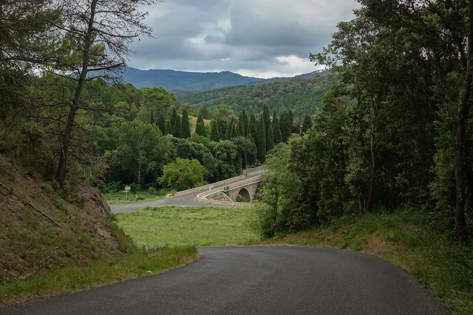
The early morning sun was replaced with dark overcast skies for much of the ride, giving a rather gloomy feel.
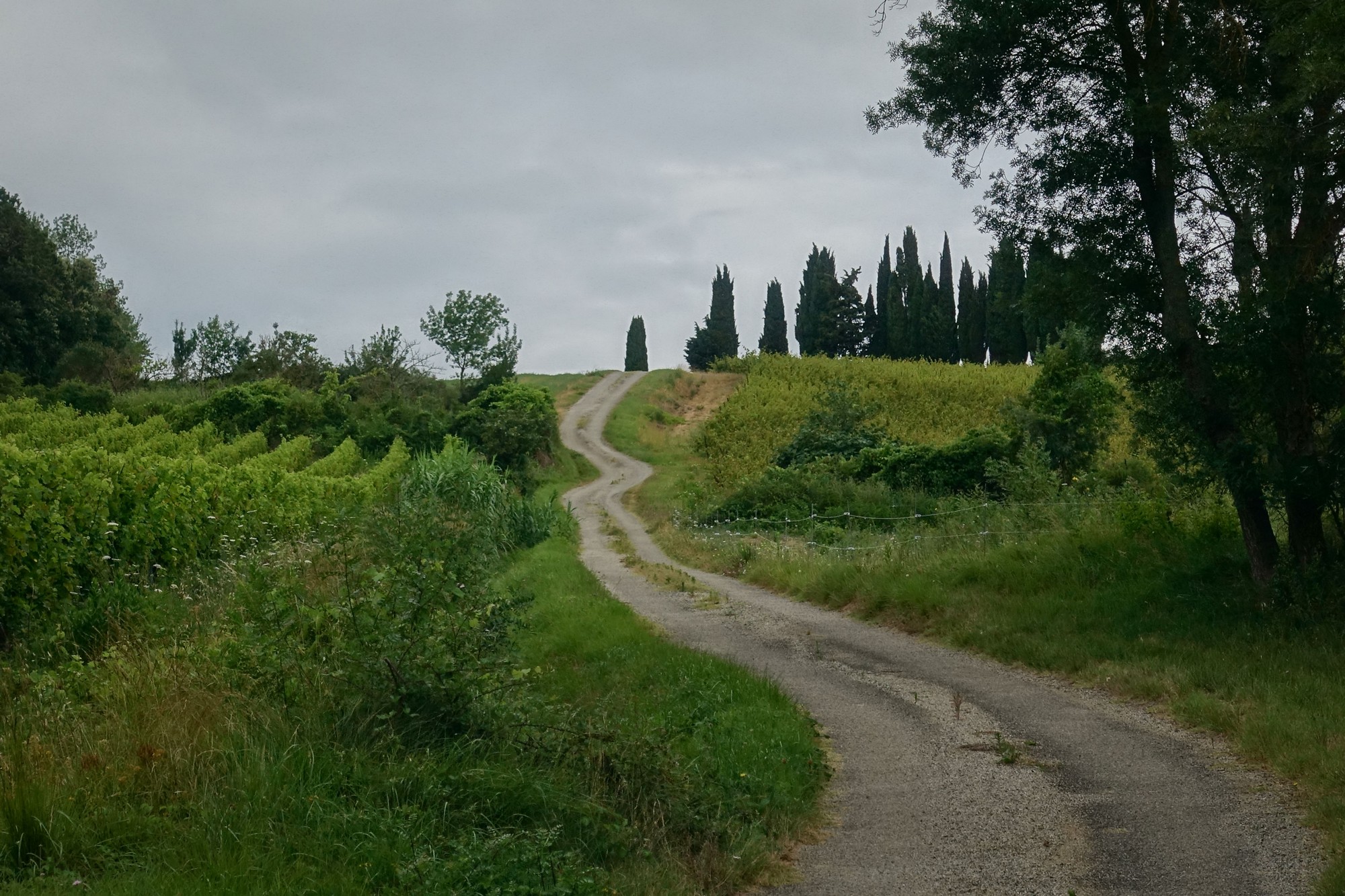
Approaching Saint-Hilaire, my route turned onto a poorly-made road, and when I saw the incline ahead of me I stopped and adjusted my rear derailleur which had been jumping between gears. The road ahead looked too steep to take any risks. I managed to get the derailleur changing smoothly, but it wouldn't go into first gear. I didn't want to get my toolkit out so I settled for that and pushed on towards the Col de Soult.
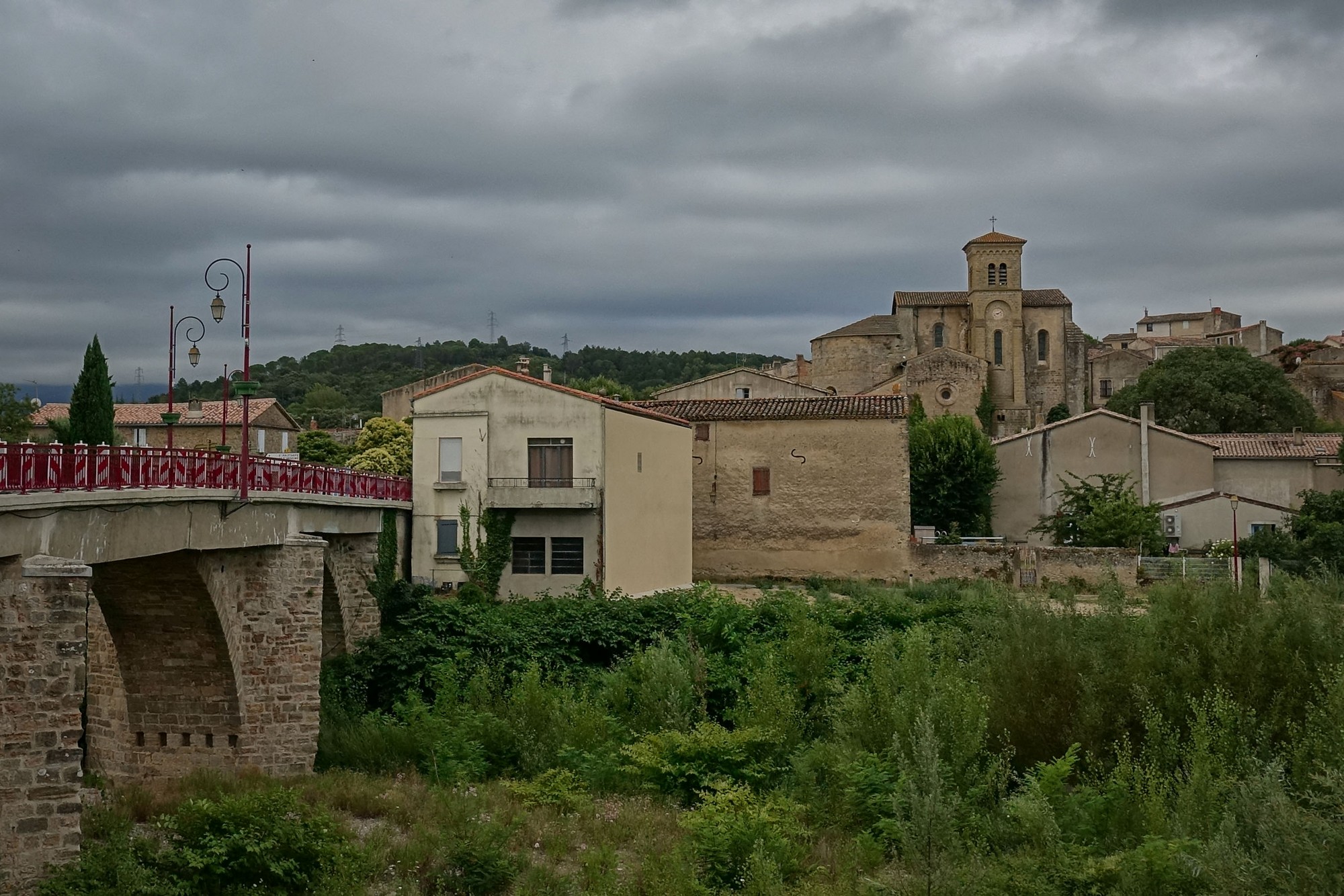
After Saint-Hilaire, a mile long climb took me to the second of those off piste cols where I had to go half a mile or so off-course just to 'claim' the col and then turn round and resume the route. That was the Col du Loup.
On my Wahoo (Elemnt Bolt II) GPS device it tells you how many 'summits' are coming up on the route. I was over halfway through this ride and still had 14 of 22 summits still ahead of me. That's the jagged looking second half on the profile image above.
While writing this post, I wondered what criteria the Wahoo uses to determine a climb (summit). On their site I found this diagram:
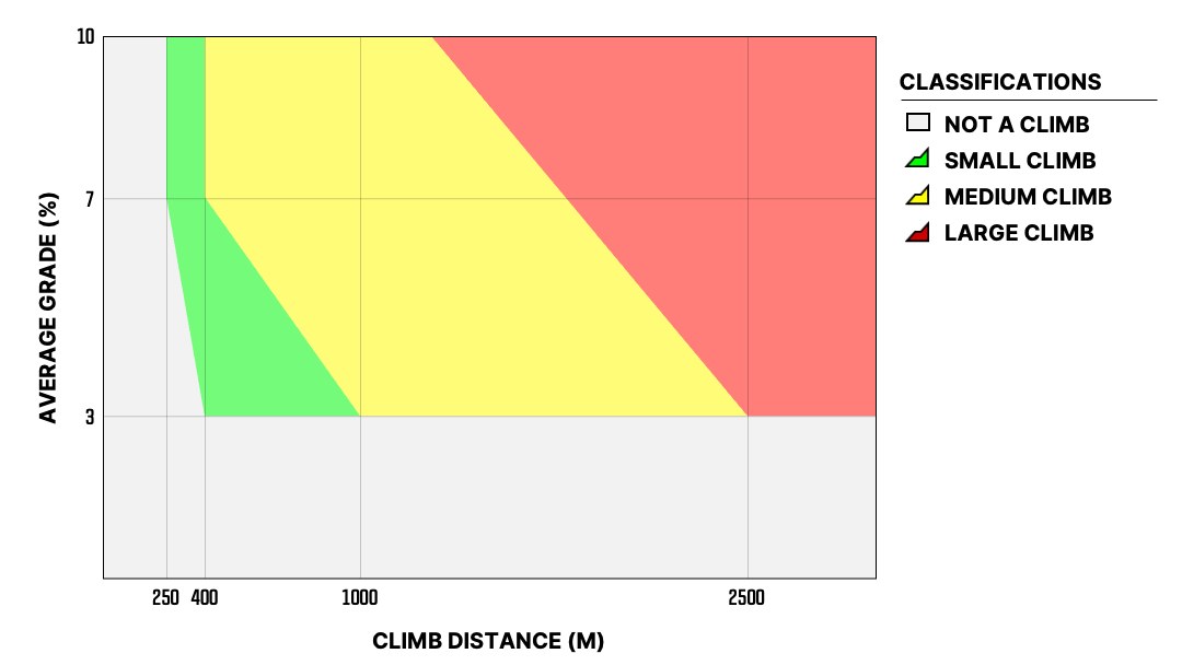
Anything less than 250 metres in length is not considered a climb, and anything less than 3% gradient is not considered a climb. So if for example a stretch of road was 240 metres long with a 25% gradient, that wouldn't count as a climb! Nor would a 30km stretch of 2.8%. So now I know! More info here
Col du Loup was quickly followed by Col de Gardie, Col de Limoux and Col d'Al Bosc, all within five miles of each other. In the town of Limoux I found the main bridge across the river Aude was closed for repairs so I had to divert across another bridge further along and then back through the narrow streets of the town, now bustling with activity at ten o'clock in the morning.
From Limoux onwards there was not a flat bit of road. Even though there was only one more col to claim (Col d'Enterri), there were still loads of summits left to do according to the Wahoo.
Approaching the village of Routier my route unexpectedly turned off the main road and onto a track. It became a very steep climb into the village, 20%+ for a short while, after which I was back on the main road I'd been on before. This was probably one of those routing decisions made by the mapping software which I'd missed when double-checking the route. Still it kept me on my toes, literally!
The remaining fourteen miles of the ride included a couple of sections of busier roads. The peace and quiet I had enjoyed earlier had now gone. To compensate for that, the clouds were breaking up, giving way to blue skies and sunshine. Suddenly everything looked less gloomy.
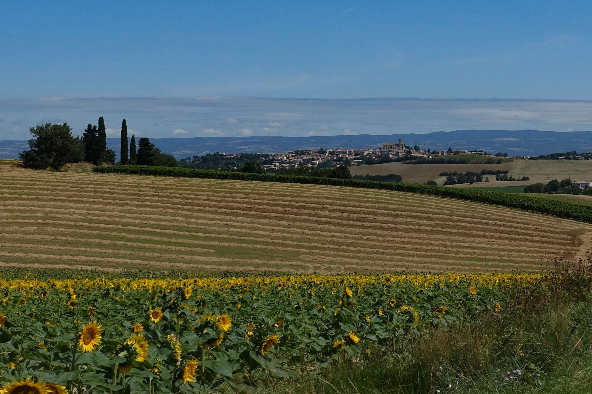
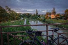
The short climb to the town of Montréal was the last one of the day. All that remained were five sunny miles of downhill. Using mostly minor roads I headed north, back over the Canal du Midi and Le Fresquel river to return to Alzonne and the end of the ride. Despite the overcast gloominess earlier, it had been another enjoyable ride in France.
Fuel
- 2 bidons High5 Zero sports drink
- 2 SiS Energy Gel
- 1 Fig Roll
- ½ HDM sandwich
Gallery
Click to enlarge / see slideshow



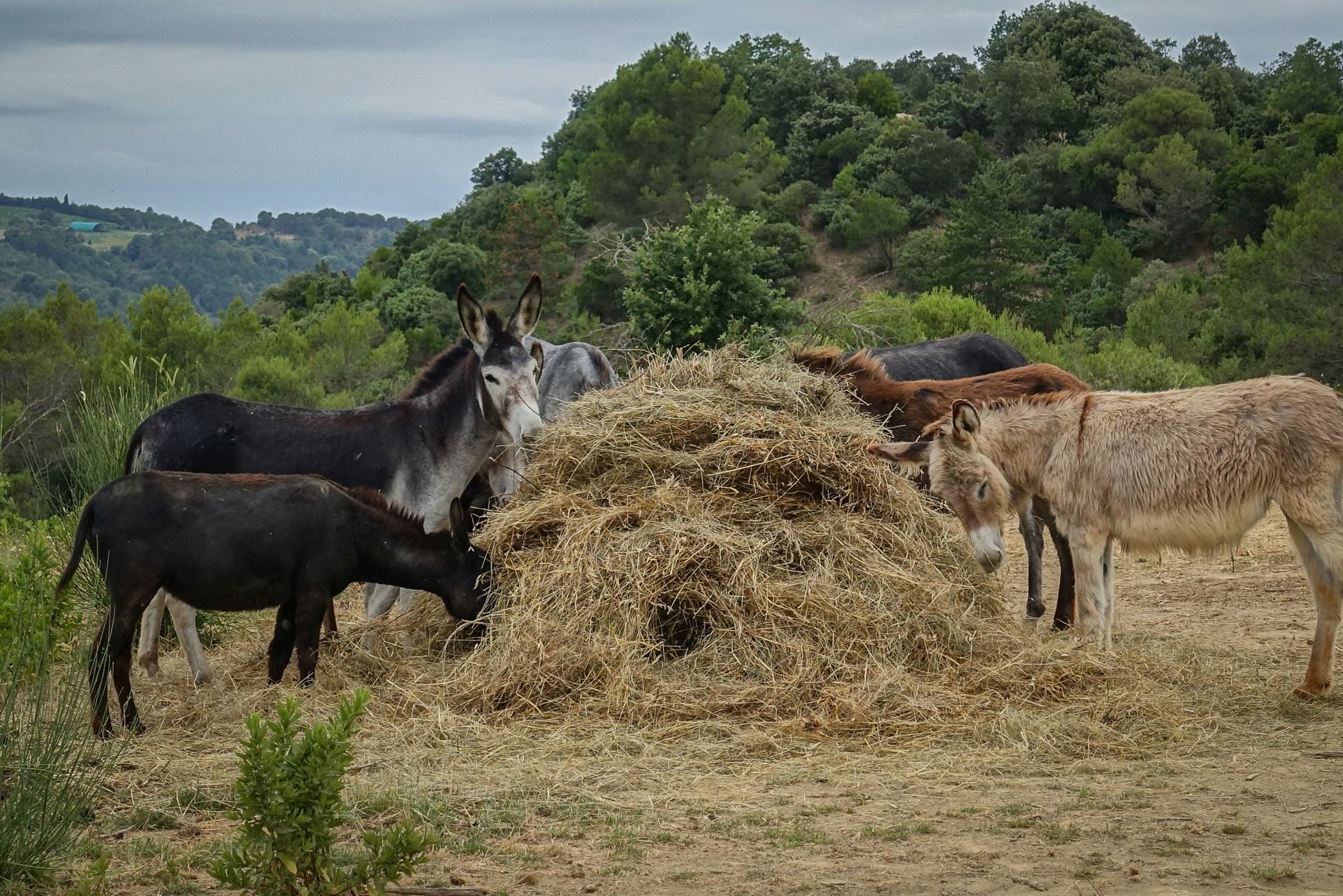

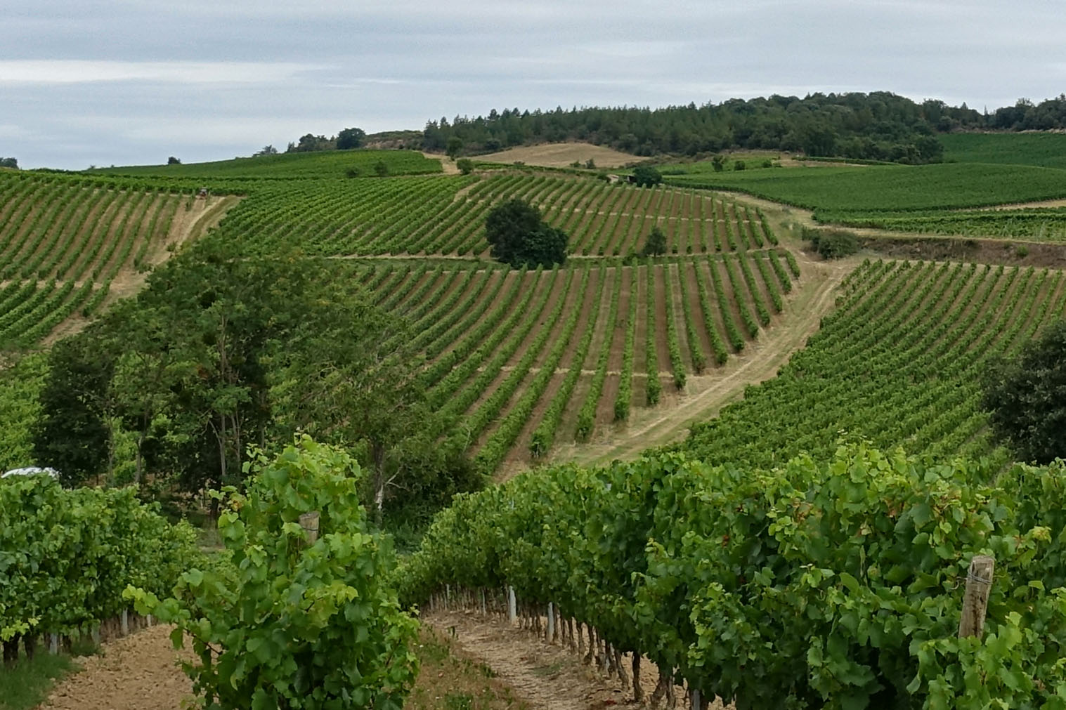
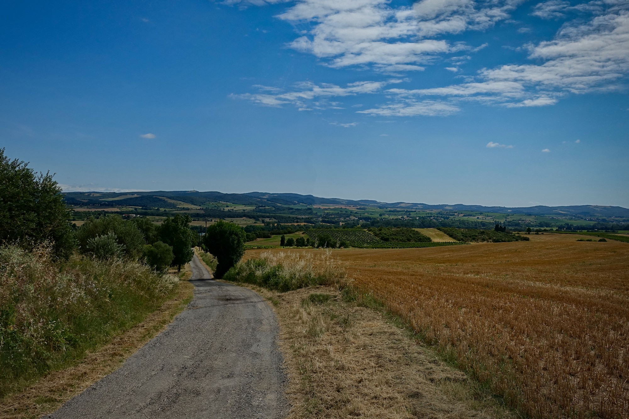
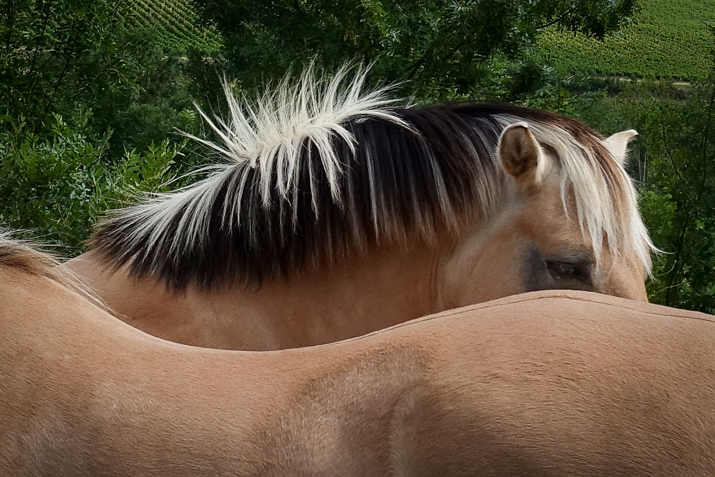
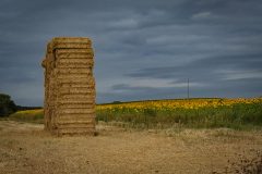
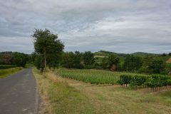
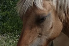
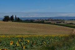
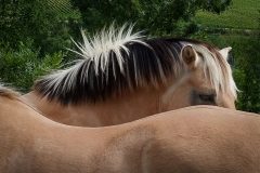
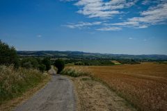
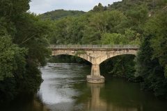
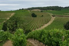
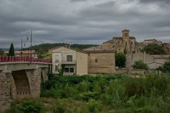
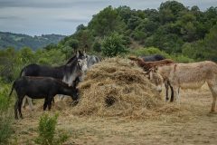
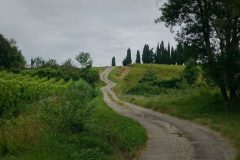
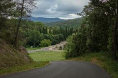
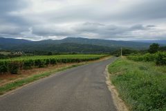
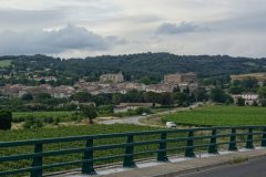
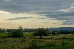
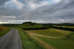


The horses look a bit like Haflingers which we see at Obergurgl, but I’m no expert.
Nice ride.
I’m certainly no expert either – I’ve always wondered if those highlights in the mane are natural. They look too good to be true . . . .
Thinking about it, a lot of the natural world looks too good to be true.
Cracking ride and pics. Is the GT now your favoured bike, Vince?
Seems to be the workhorse.
Thanks Ben.
I wouldn’t necessarily say ‘favoured’. To be honest I get more enjoyment from my Colnago, but with the GT Grade I know that I’ll be able to more easily tackle unmade roads and steep gradients, both of which featured on this ride. I’ve only had to get off the Grade once due to gradient, and that was on the Super Planche des Belles Filles, but I can blame that on fitness and lack of traction (and anything else I like really!). The SPdesBF is near to where you’ve been in France before I think – you should give it a go!
Cheers