Distance: 43.7 miles. Elevation: 5100 ft.
Col de Saint-Raphaël | Baisse de Rourebel | Col de Vé Gautier | Colle de Toasc
Since my last ride, from Barcelonette, I’ve relocated about 35 miles further south to the town of Puget-Théniers, having driven over the Col de La Cayolle, through Guillaumes and along the dramatic Gorges de Daluis.
Mont Vial has been on my list since I learned of its existence a few years ago. I have ridden past the turn-off several times in the past without realising what was ‘up there’. The Google Streetview car has covered it and its images reveal the spectacular road at the top, where it runs along the ridge of the mountain. It also shows the amazing view of the river Var flowing towards Nice, a sight that I was denied today due to clouds rolling in from that direction.
Since then (I assume) the road to Mont Vial, or at least the upper 75% or so, is now prohibited to motorised vehicles without prior authority.
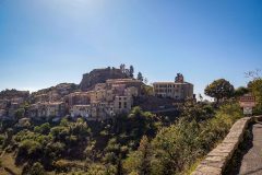
I started my ride at 1:15. The weather was wall-to-wall sunshine and temperature in the mid to high 20°Cs. I did the 5-mile 6% climb up to Col de Saint-Raphaël in one go. I nearly stopped midway to get an amazing aerial photo of Puget Théniers but decided to keep going. I thought I might have set a personal best for that climb, but I found out later that I hadn’t.
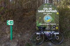
Since I was last here back in 2021, they have installed a new col sign, similar to the one I saw at Col des Champs a few days ago. I didn’t like it: why couldn’t they leave a simple sign indicating the presence of the col to all road users? I saw it as commercialisation, gentrification, glamourisation, and other words ending in ‘…ation’. There was a web address, a QR code, etc on the sign. You are invited to upload your GPS data to the website so you can be ranked alongside other riders. How ridiculous, I thought to myself.

However, now I have had time to look into it, I’ve changed my opinion somewhat. For a start, it’s not commercial but is driven by the department (Alpes-Maritimes) as a way to promote cycling and fitness in the area. The directive is called ‘Cols Connected’ and includes 6 or 7 cols in the department. There are special days throughout the year featuring a ride up one of the cols, sometimes in the presence of a famous cyclist. More info below. So I can’t really argue with that initiative. It seems inevitable that the sign will eventually be covered in stickers anyway. The first one had already been slapped on, just above the circular logo.
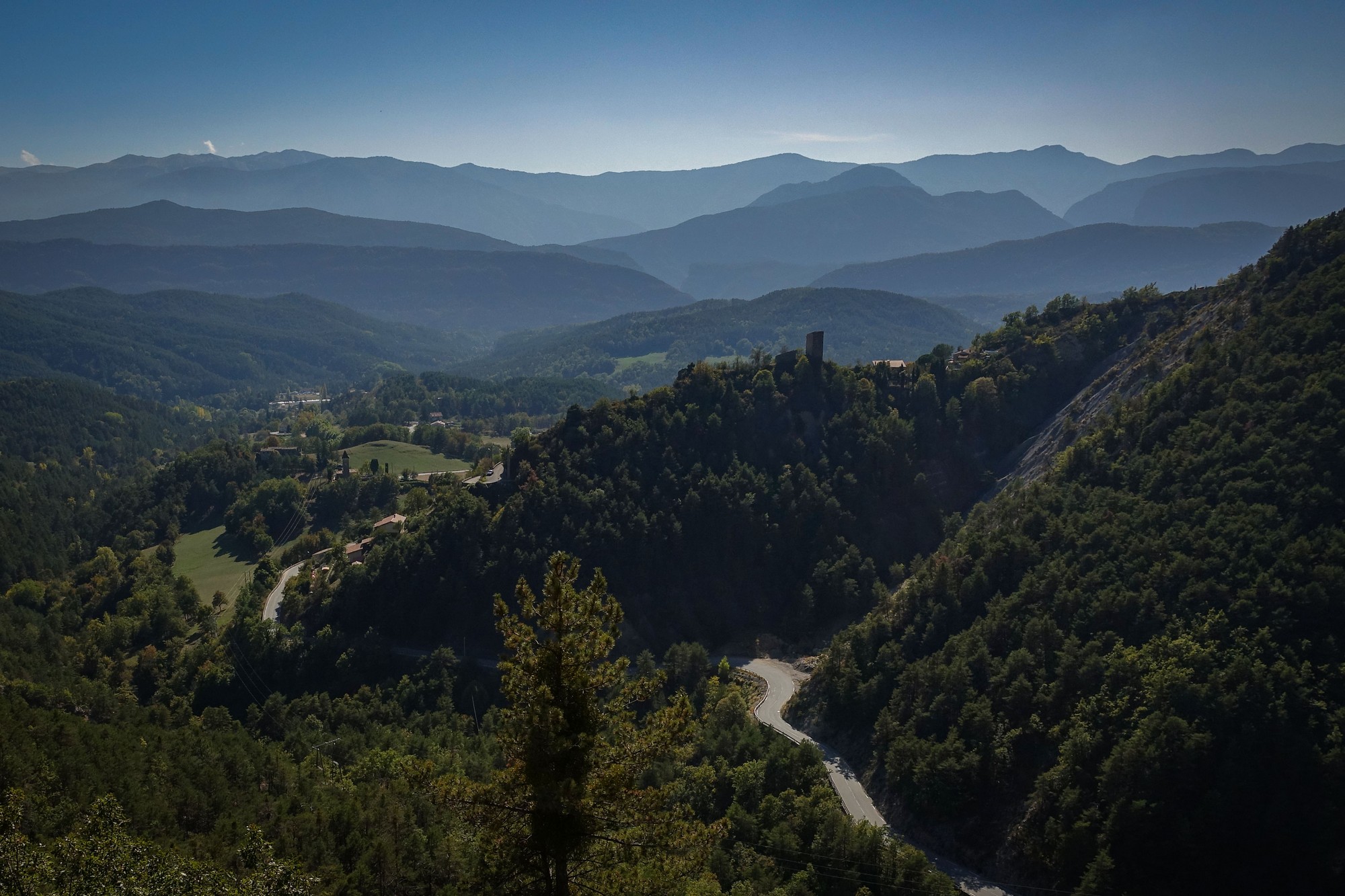
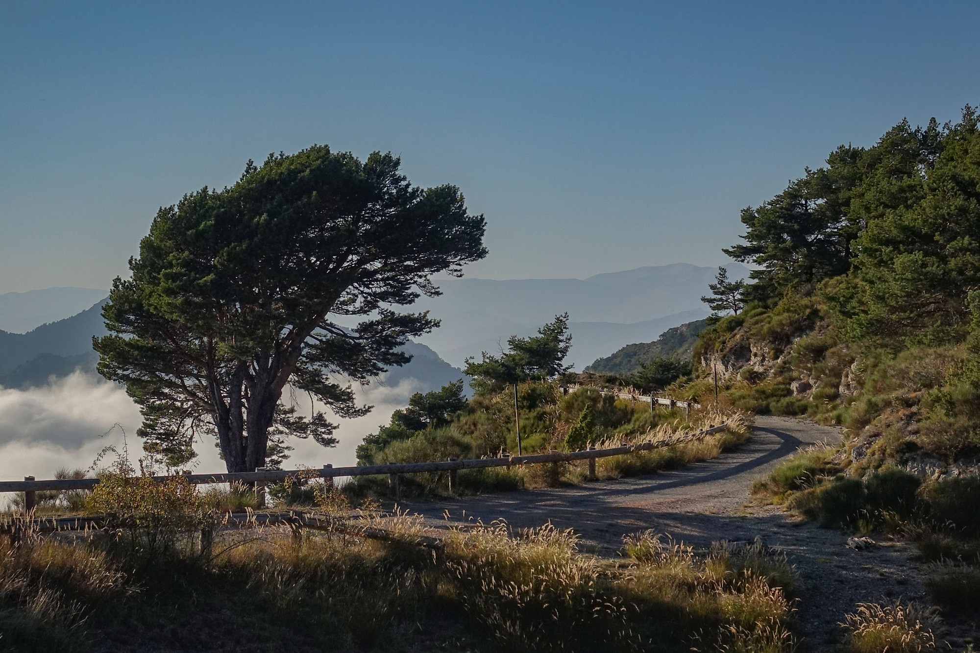
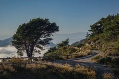
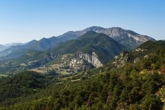
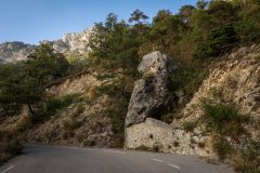
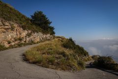
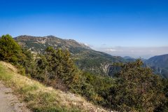
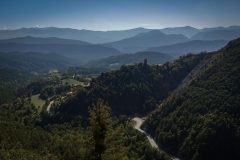
My route then followed the road that runs eastwards along the southern slopes of the ridge of mountains (whose name I’ve been unable to discover) that separates this road, the D27, from the river Var, to the north. To the south are wonderful views across the forest-covered mountains of the Préalpes d’Azur Regional Natural Park.
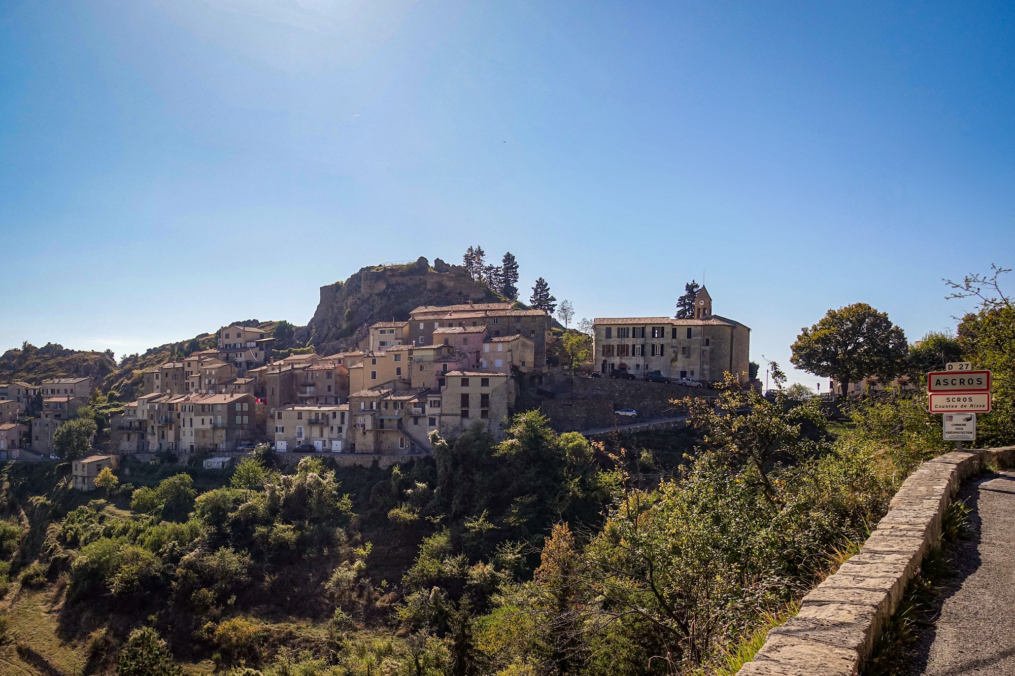
It was a lovely peaceful ride to the turn off for Mont Vial. It was further than I’d remembered (13 miles), and included another couple of miles of climbing to the village of Ascros. Each time I stopped for photos there was near silence – just the sounds of insects.
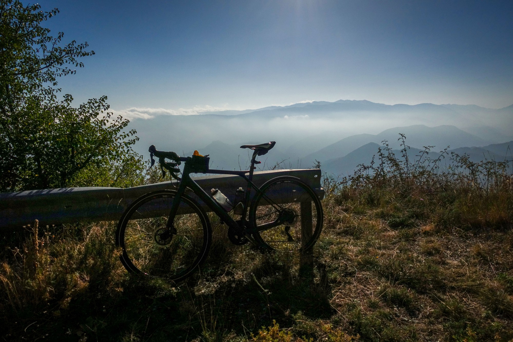
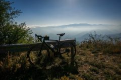
I took a break just beyond Ascros and sat on a wall to eat half of my HDM sandwich, while taking in the view. The sun was blazing down the whole time on this south-facing road.
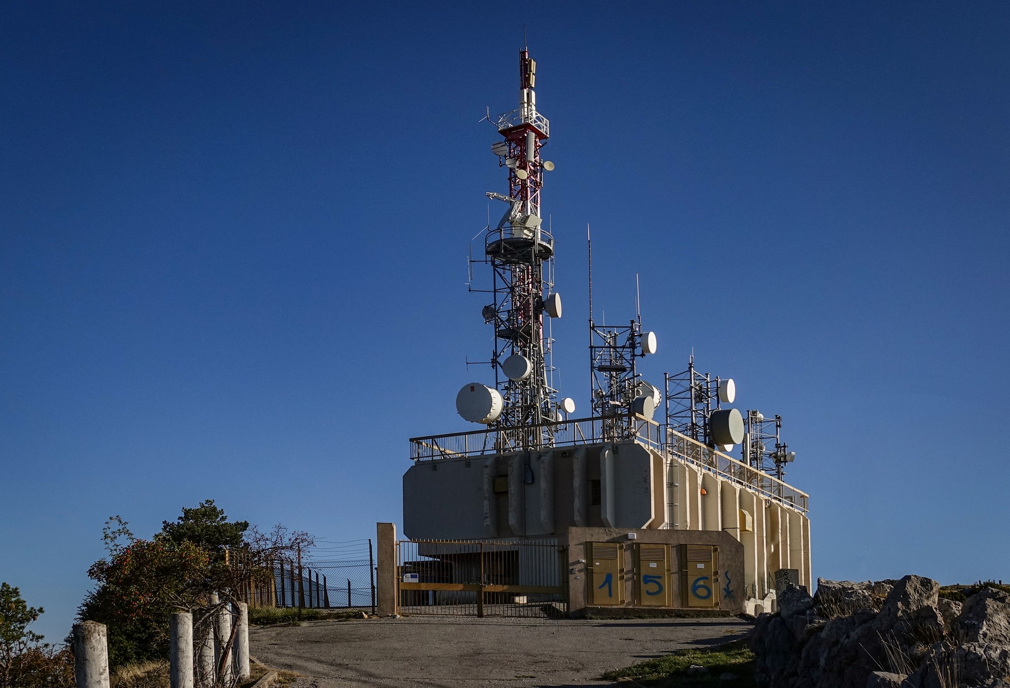
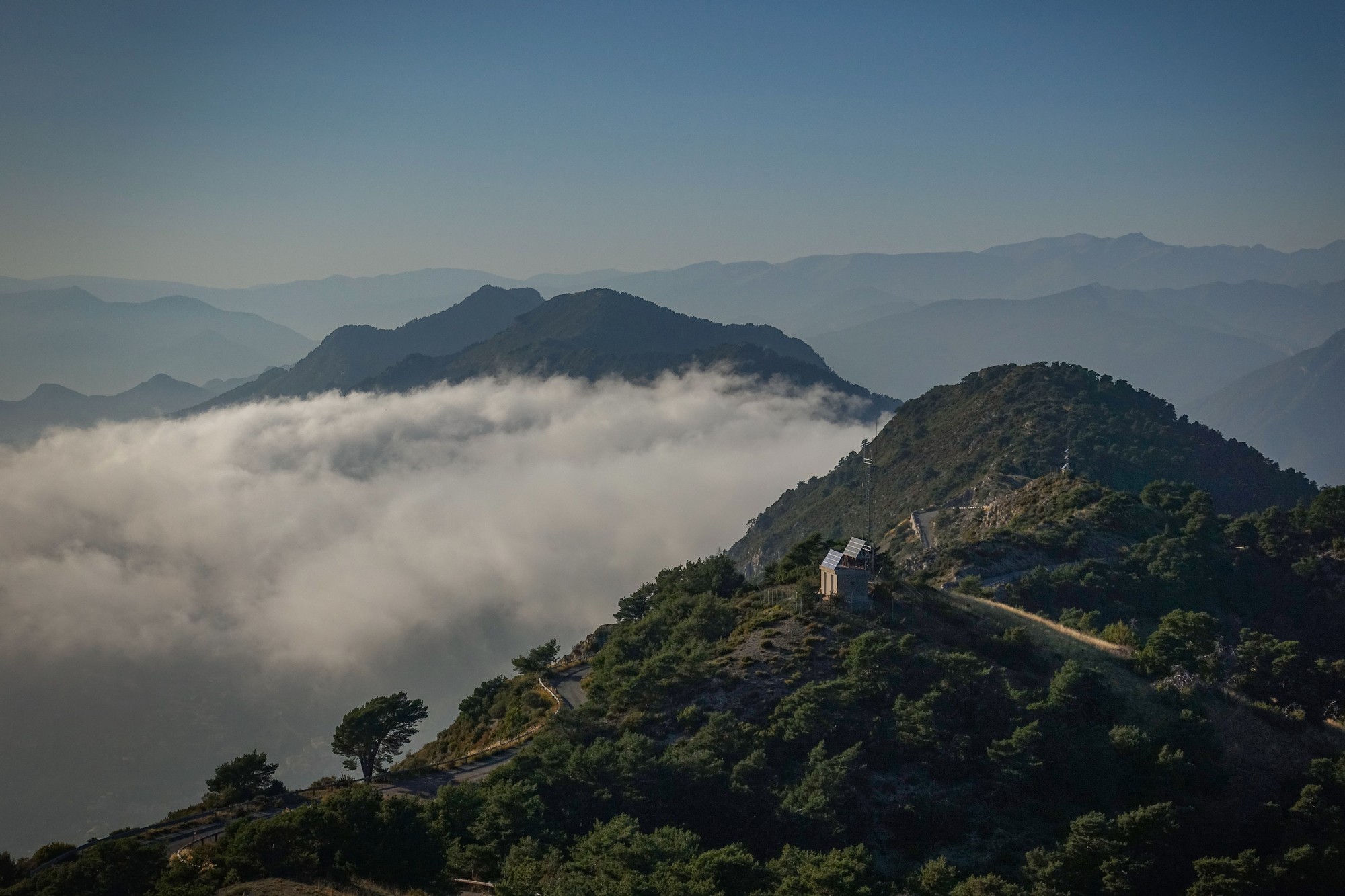
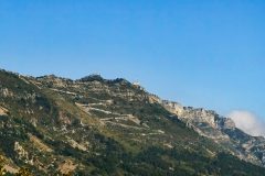
It was a further eight miles of gentle downhill from Ascros to the Mont Vial turn-off. I spotted the weather station and the zig-zag road leading up to it about two miles before I’d reached the foot of the climb. I’ve obviously looked in this direction before, on previous rides, but hadn’t noticed the weather station balanced on top of the ridge.
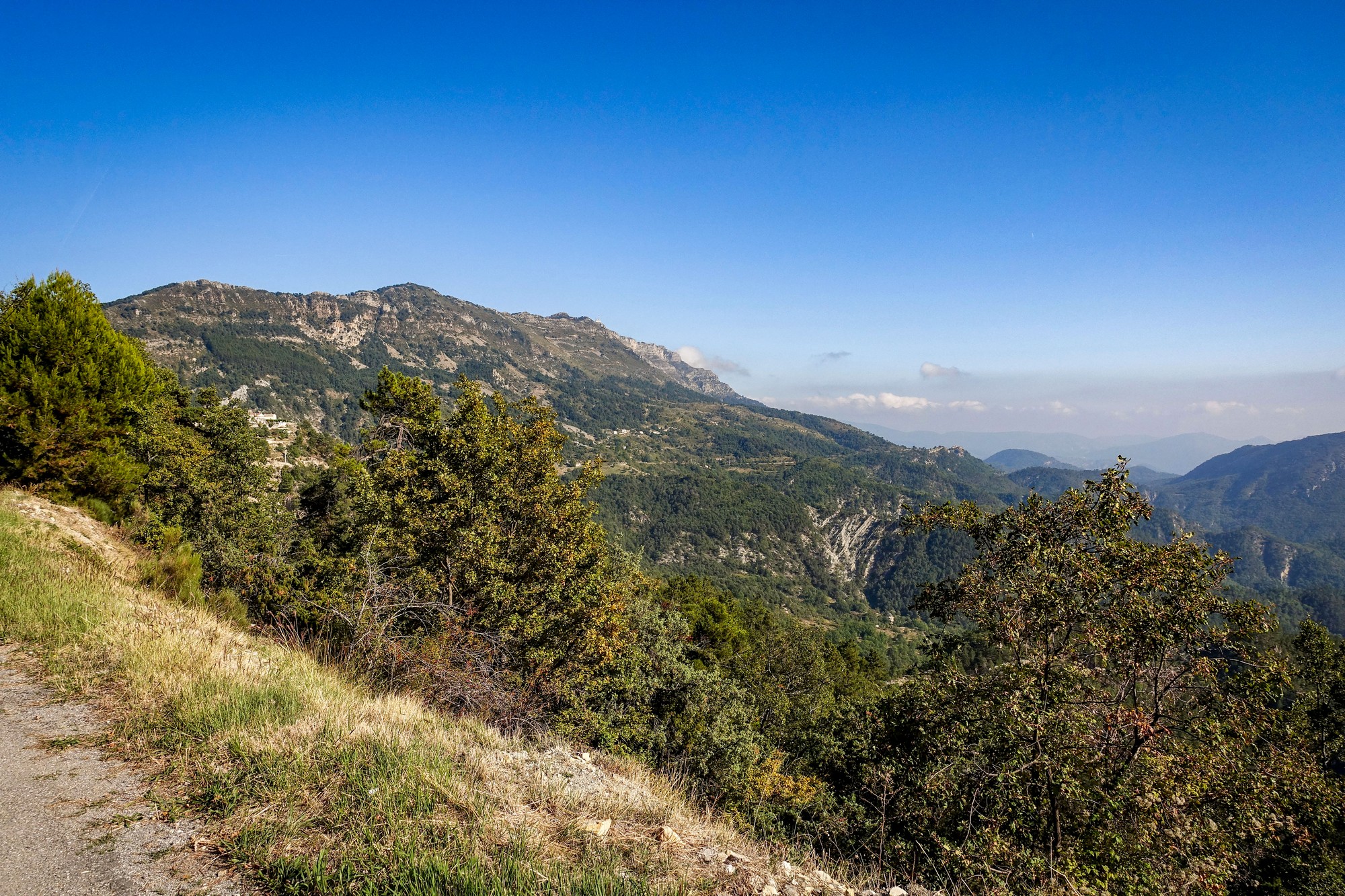
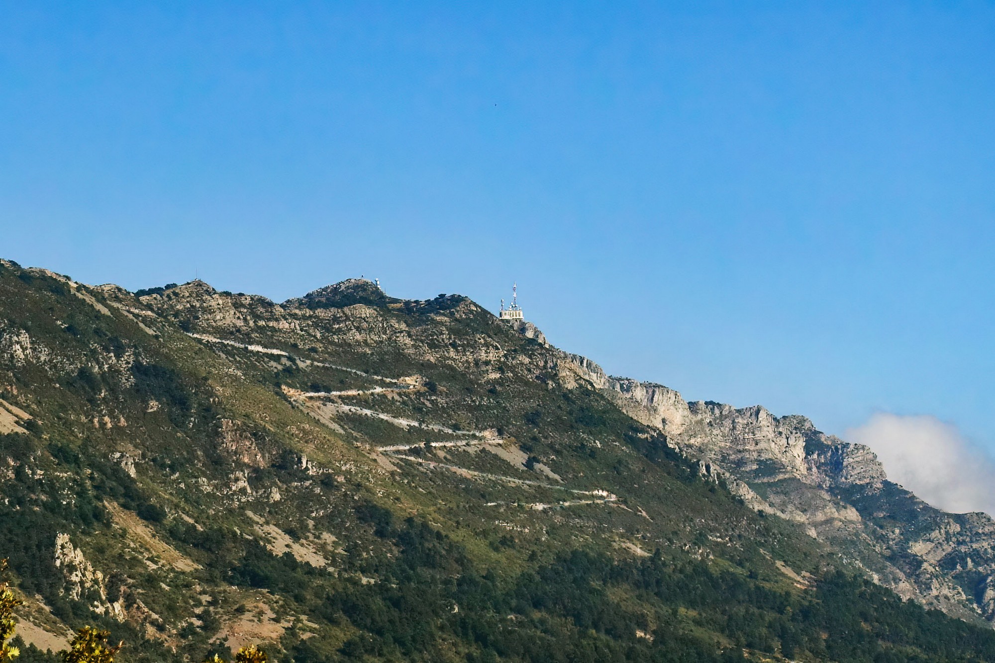
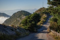
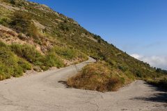
I had an energy gel at the foot of the climb. It starts off really steep. It’s 9.7% average over the three mile climb to the ridge. (I had it in my head it was 8%). Anyway, there are some easier bits but those first few bends must be at least 15% because I was in 1st gear on the GT Grade and finding it a slog. The last ¾ mile along the ridge is much easier.
There are a few scattered homesteads in the first mile but nothing after that.
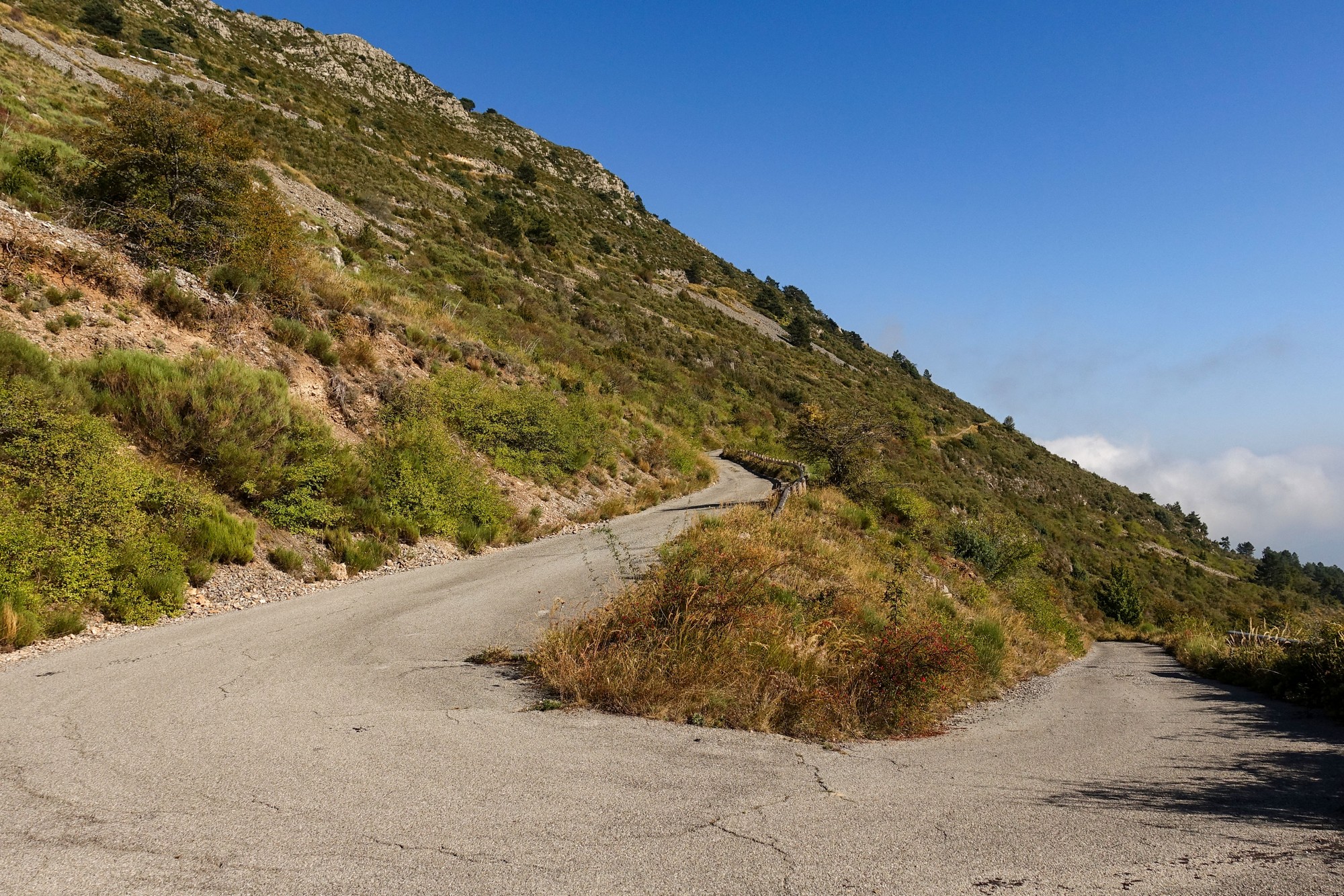
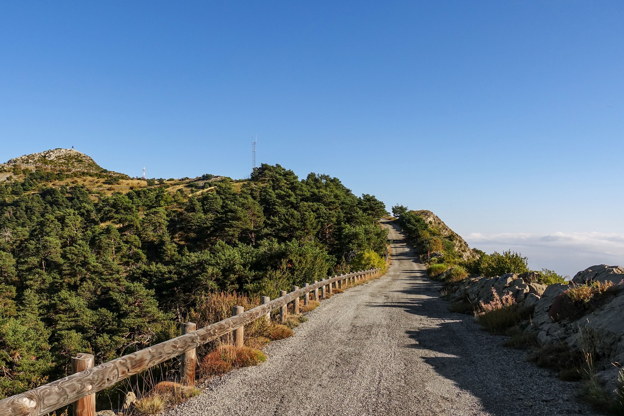
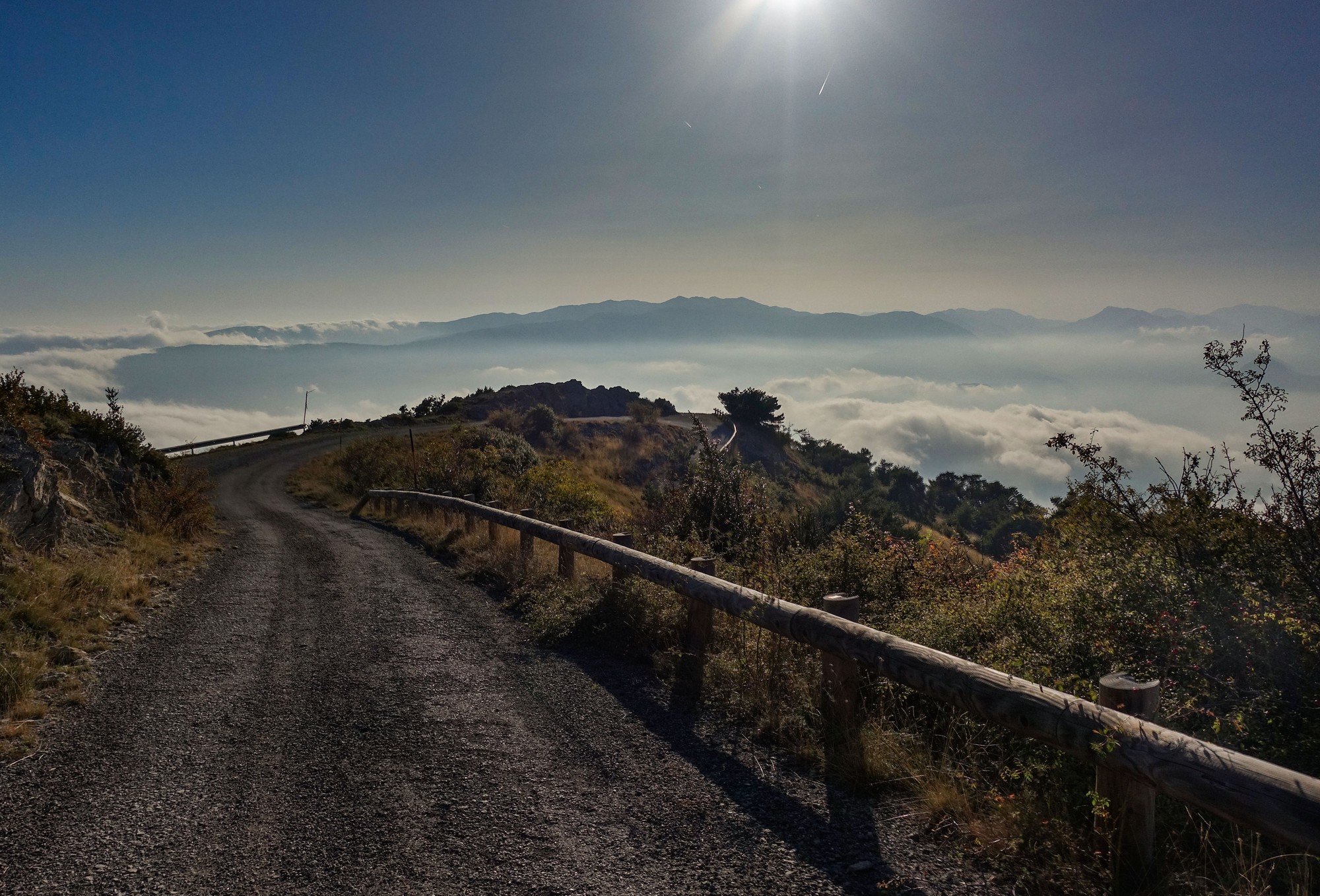
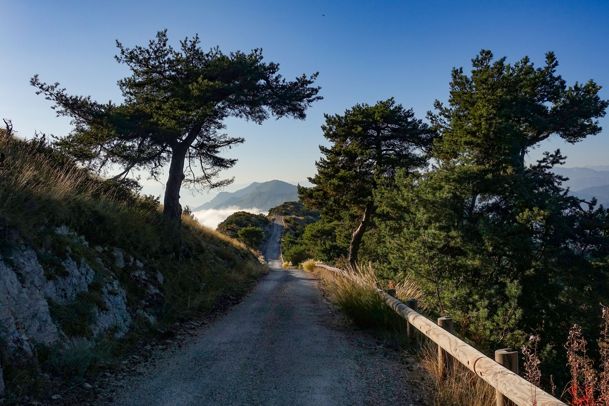
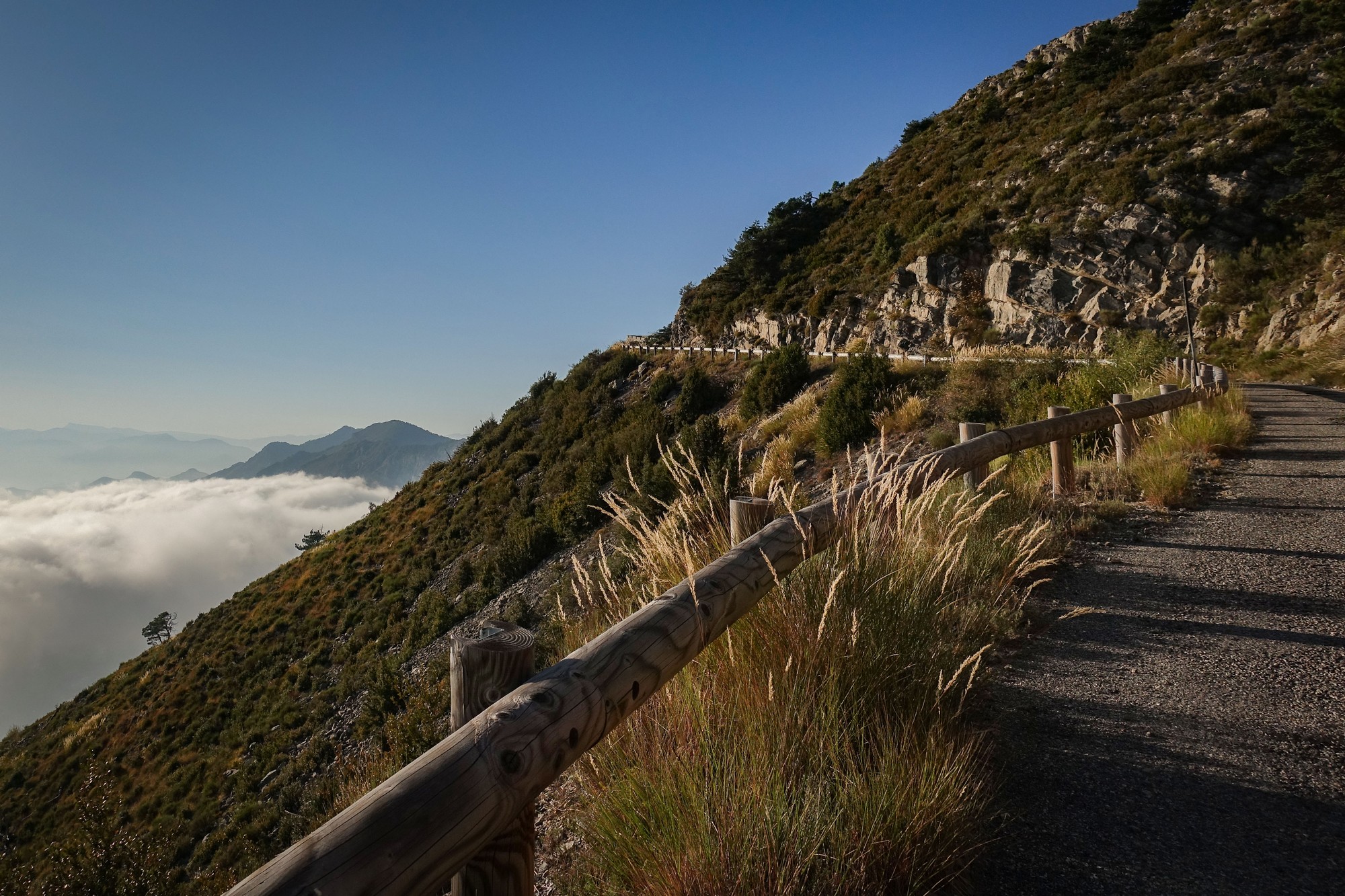
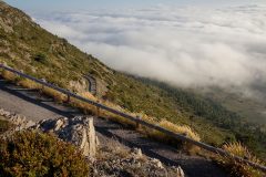
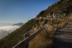
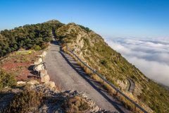
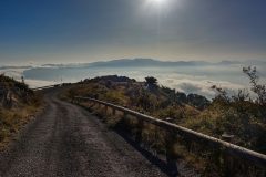
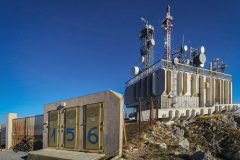
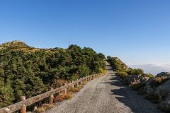
Only one car passed me (downwards). Motorised vehicles are prohibited beyond a certain point (except for authorised access to the radio masts and weather station). I was surprised to see that all the armco barrier was covered with the costly wooden half-logs to improve its appearance – why? if cars, etc are banned. Can it be just for us cyclists?
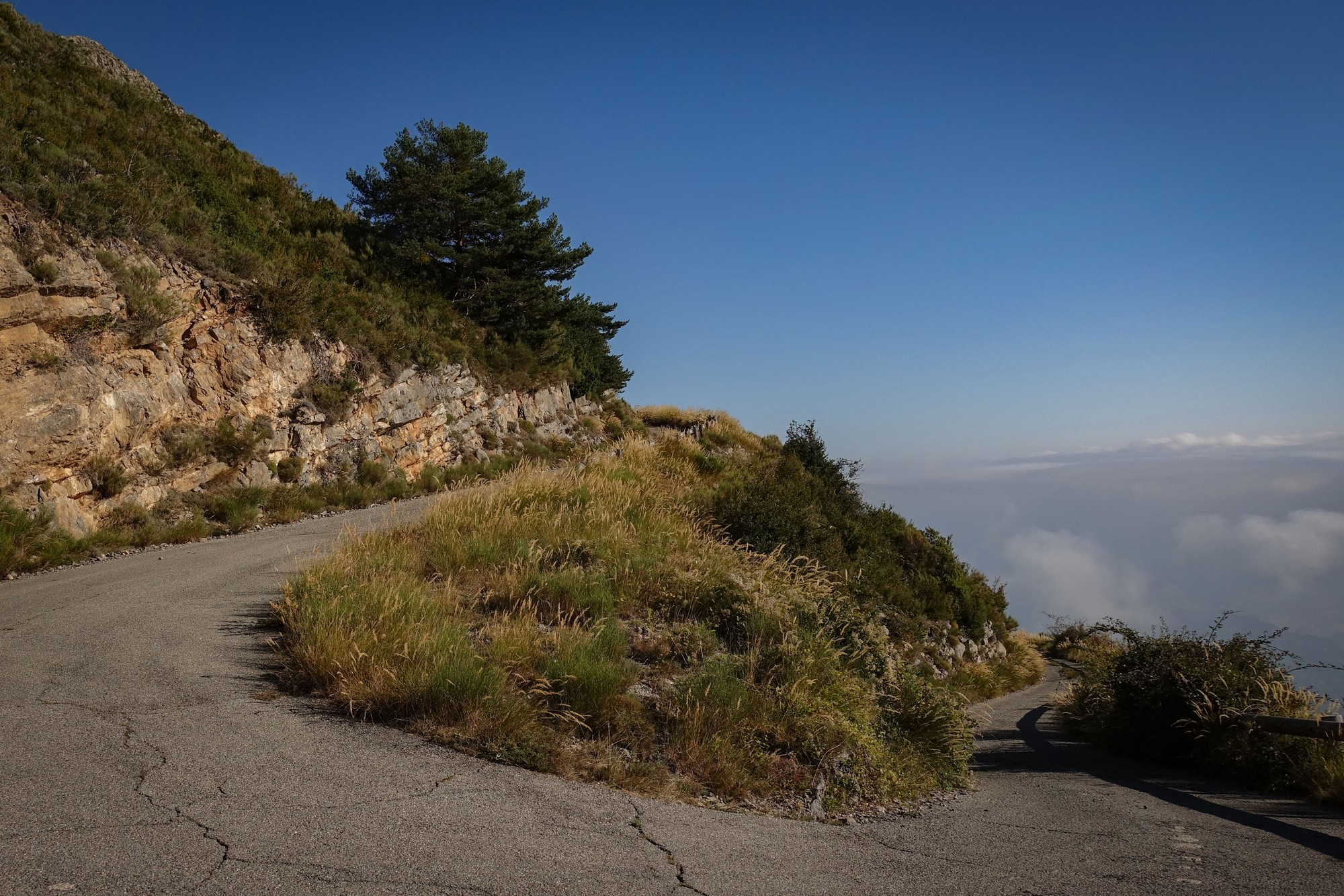
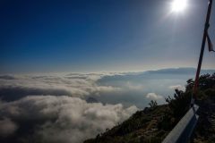
I could see that thick clouds were moving in from the south; I wouldn’t be seeing any far-reaching views towards Nice today.
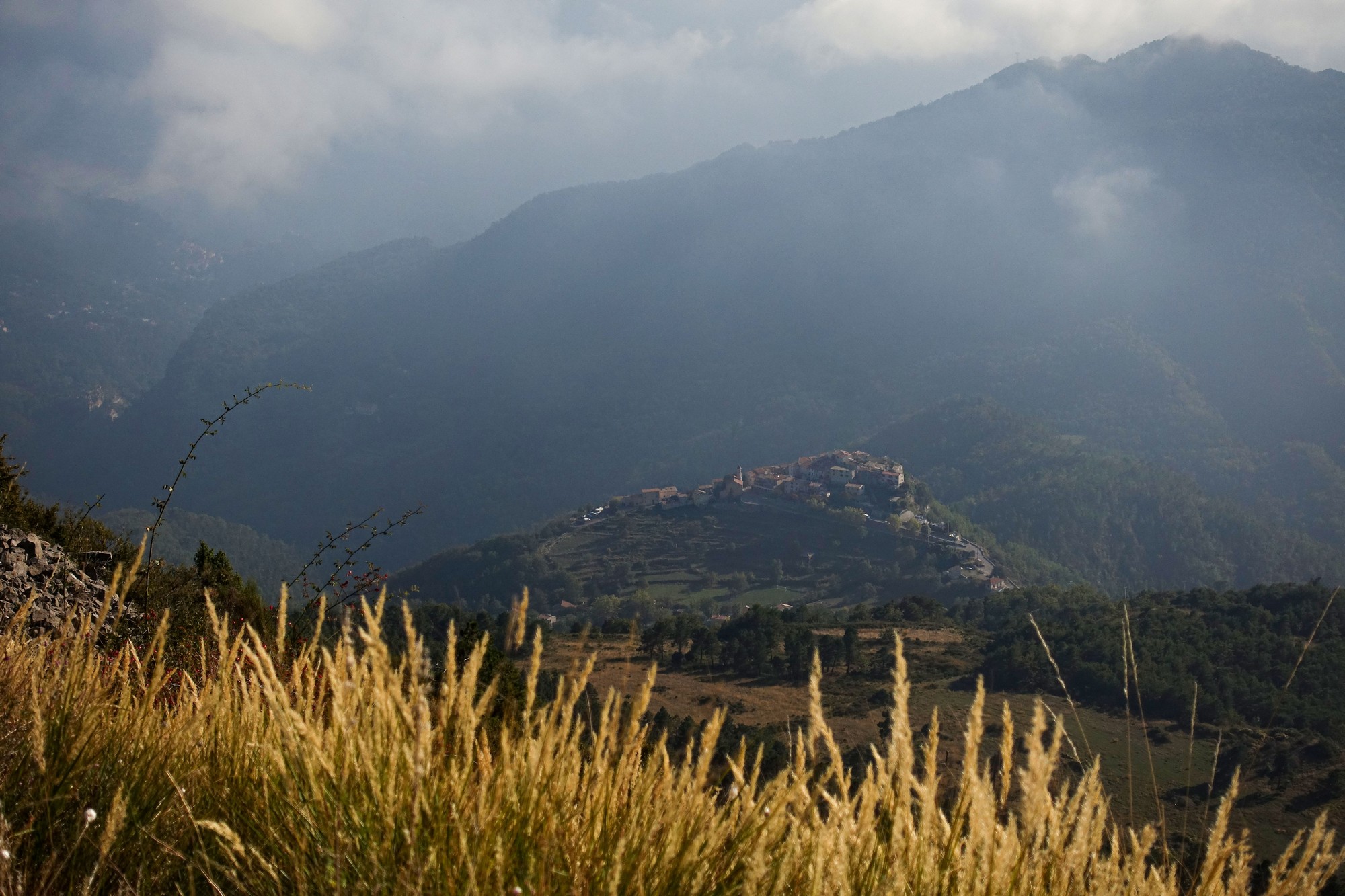
The sun was on me the whole way – luckily I was higher than the approaching clouds. It was so steep that the only place to stop was on the switchbacks. I stopped a couple of times. At one point I took some ibuprofen, partly because of the sun, partly to alleviate a twinge in my side/back.
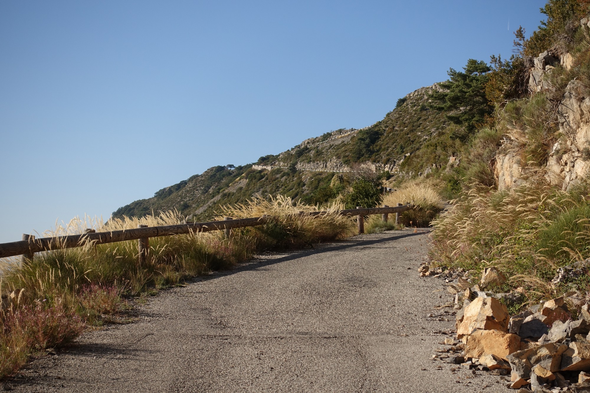
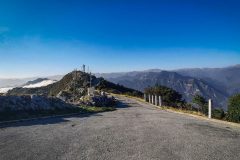
The road levels out near the top and you can see the first mast. I thought that was the end of the climbing but then I saw the other mast higher up, so there was some undulating road to go.
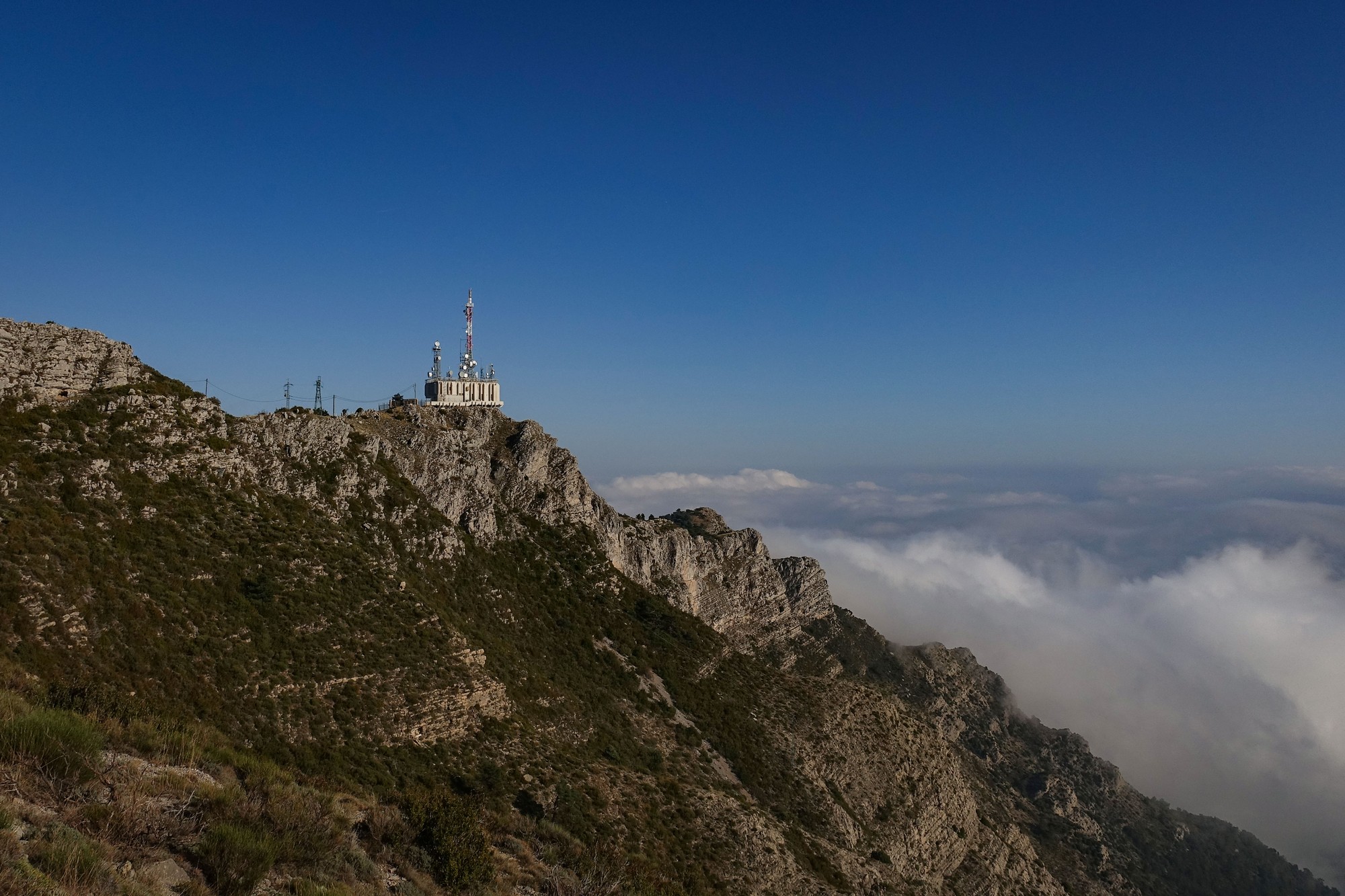
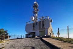
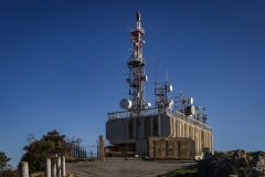
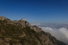
Further on came the first really good view of the weather station, looking like it’s just balanced there on top of the mountain.

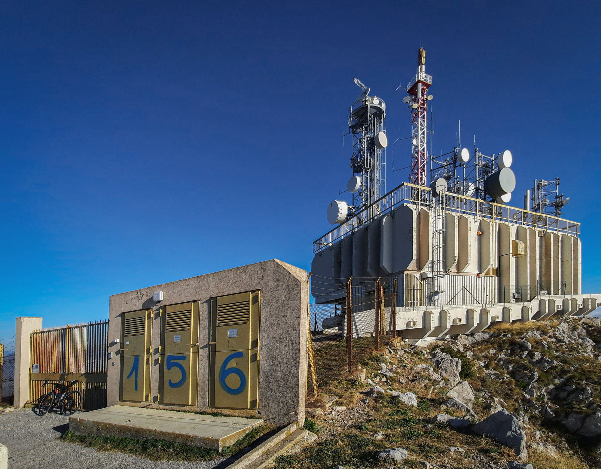
Then, after a few twists and turns towards the northern, shady side of the ridge, the road finally approaches the weather station.
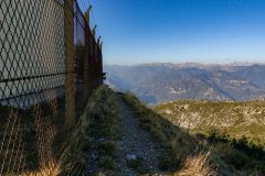
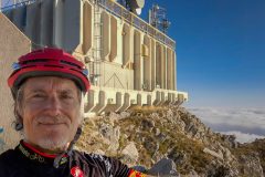
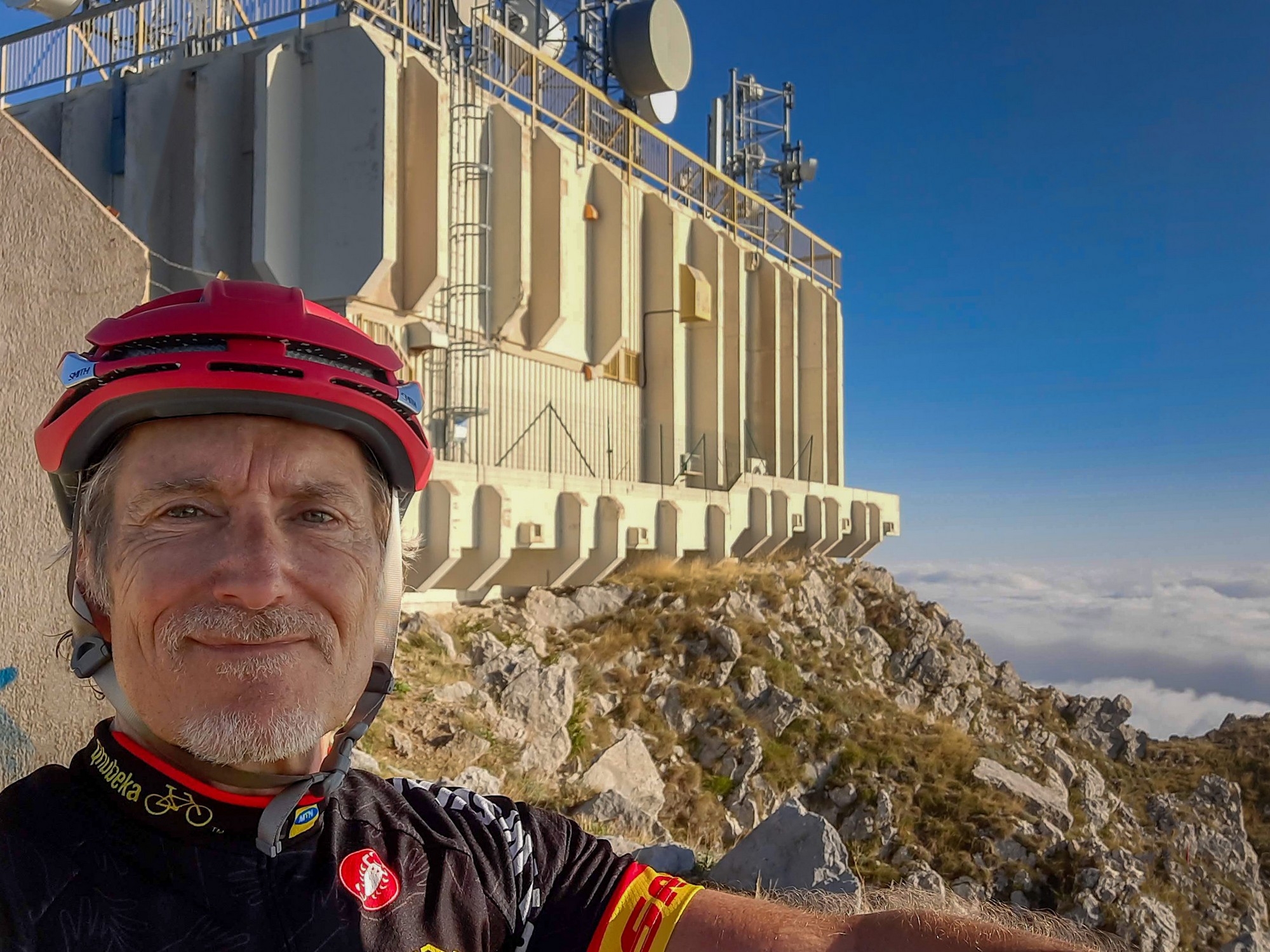
The climb had taken just over an hour, and during that time I had not seen another soul, just that one car earlier. The only sound at the top was the gentle breeze and the lonely squeaking of some device rotating at the top of the tower.
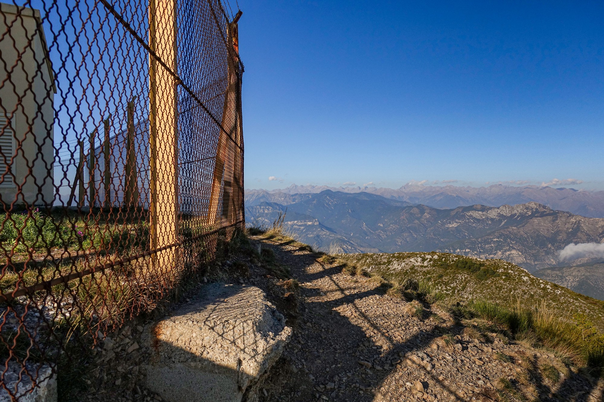
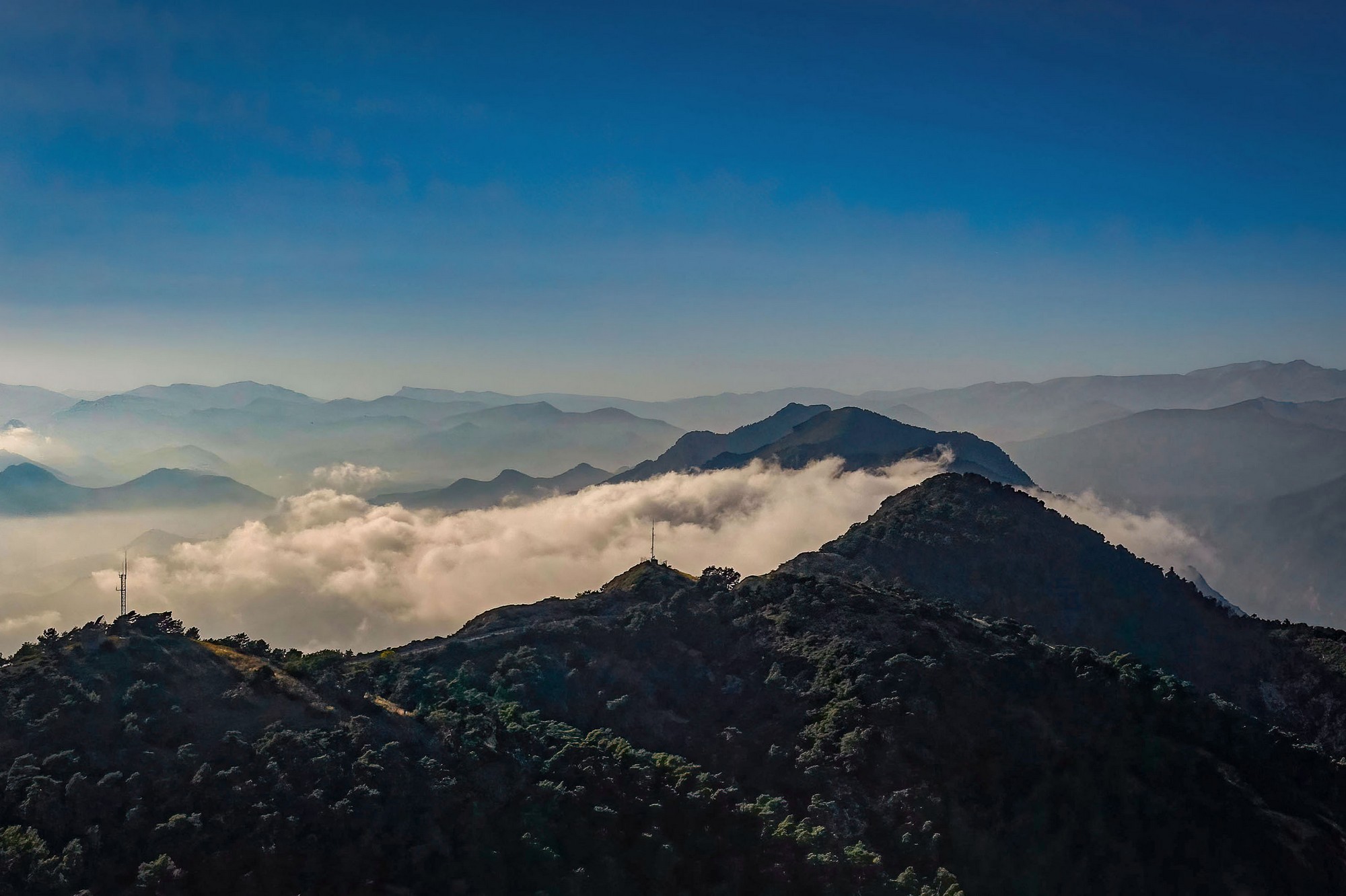
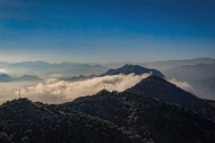
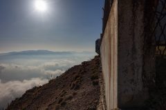
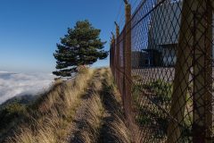
I stood my bike against the enclosure gates and walked around checking out the view in all directions, taking photos. Clouds seemed to be thickening below, being blown eastwards. This was the first ever ride on which I had taken my drone along, carried in a backpack, hoping for some spectacular aerial shots. The light breeze was blowing the greenery about so I decided I couldn’t risk flying it. Then the wind dropped so I started getting the drone ready to fly, only to feel the wind pick up again. So I put it away and gave up on the idea – if I lost the drone over the edge I’d never be able to recover it.
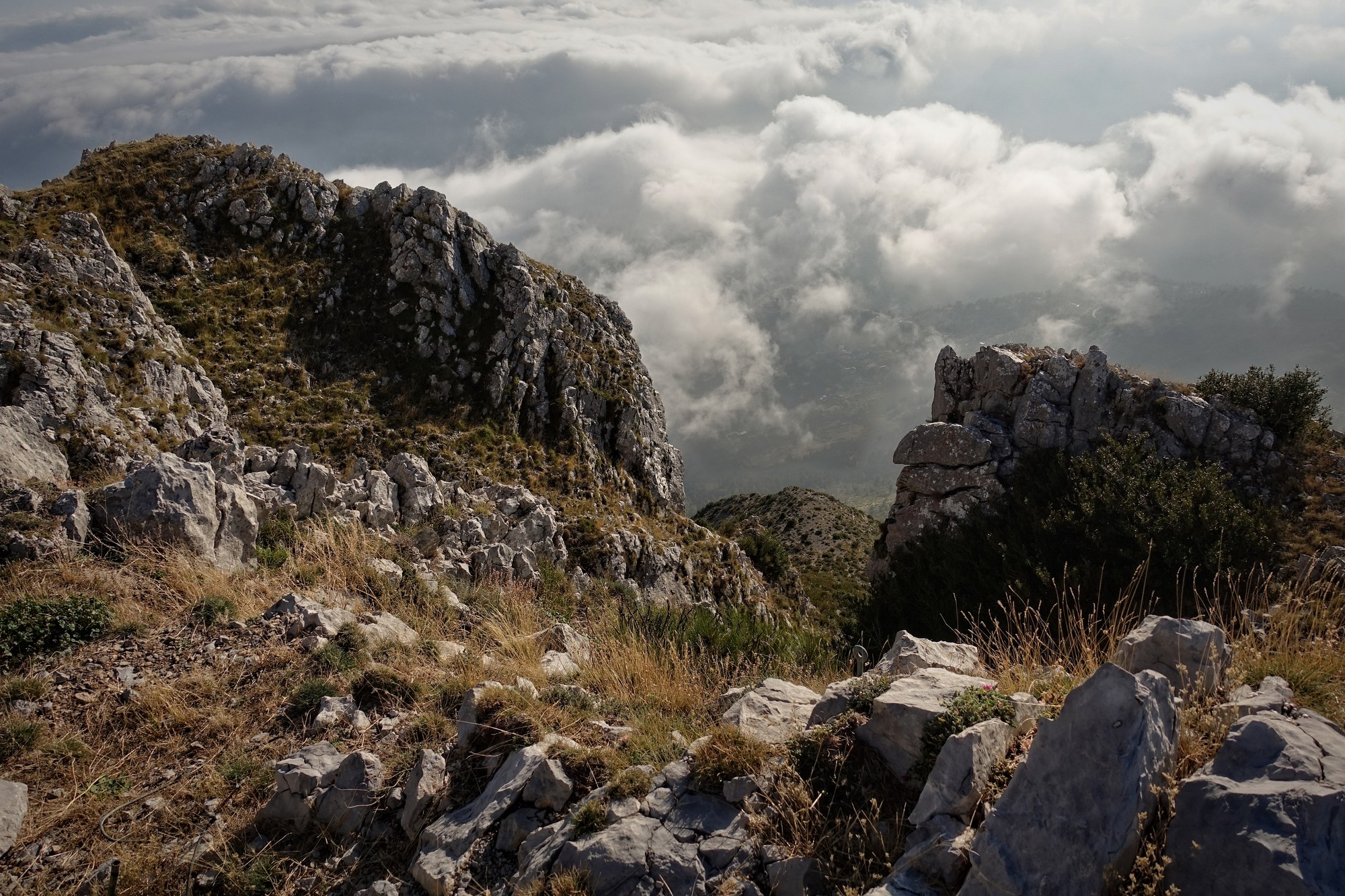
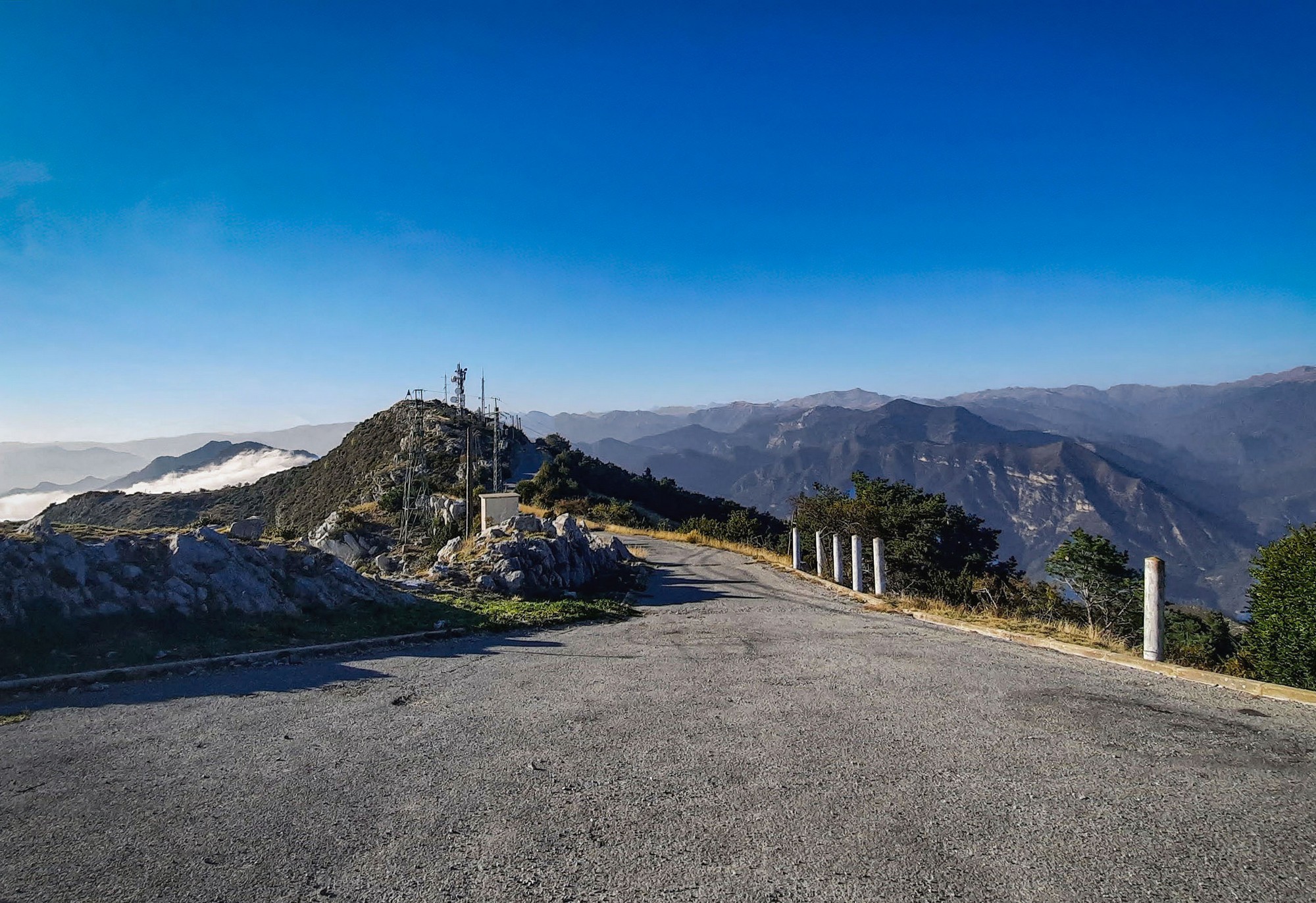
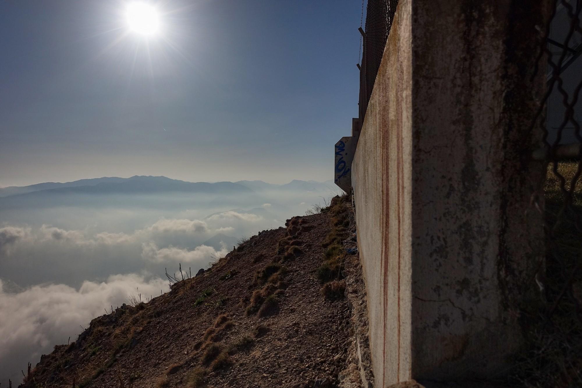
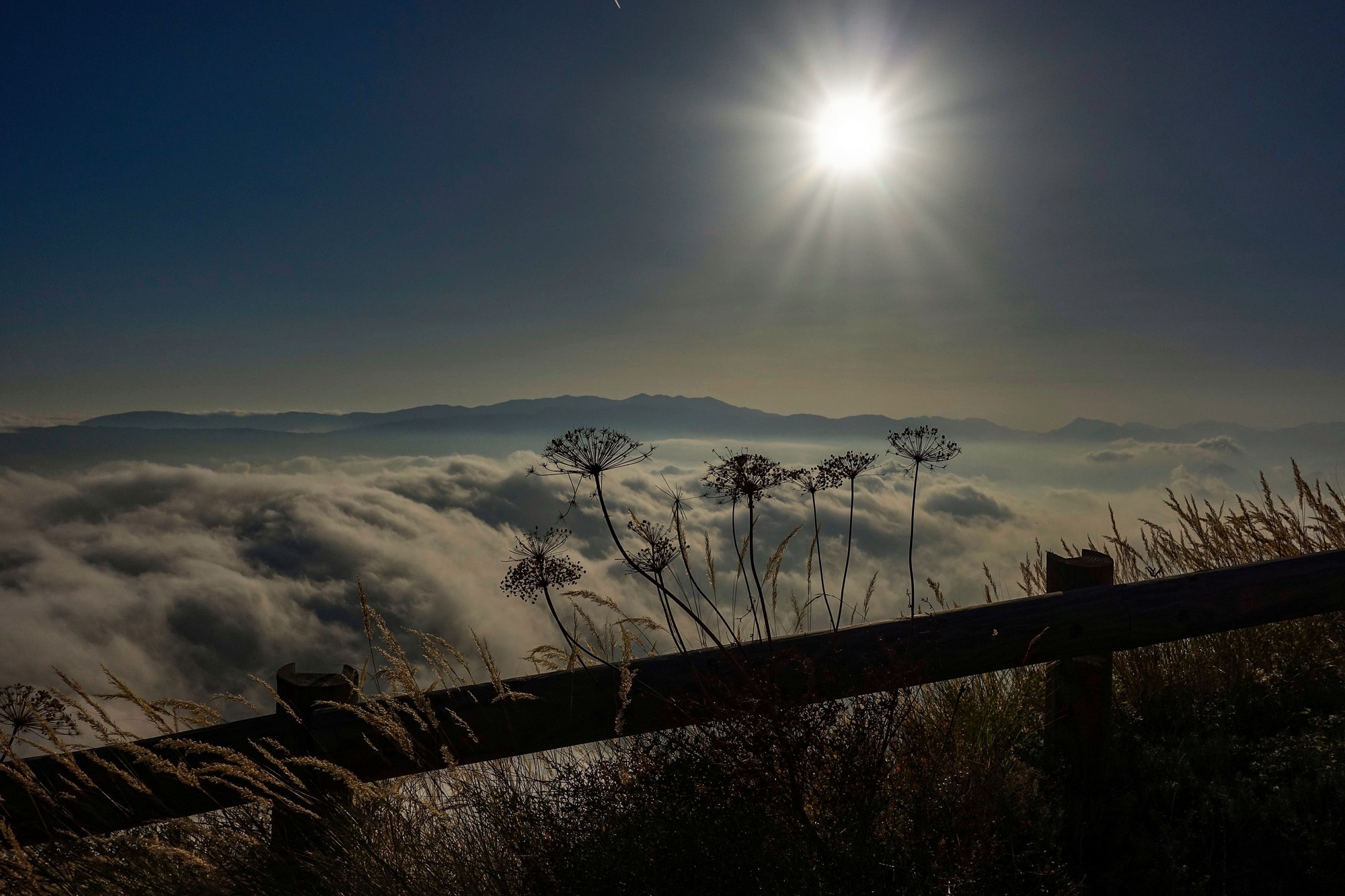
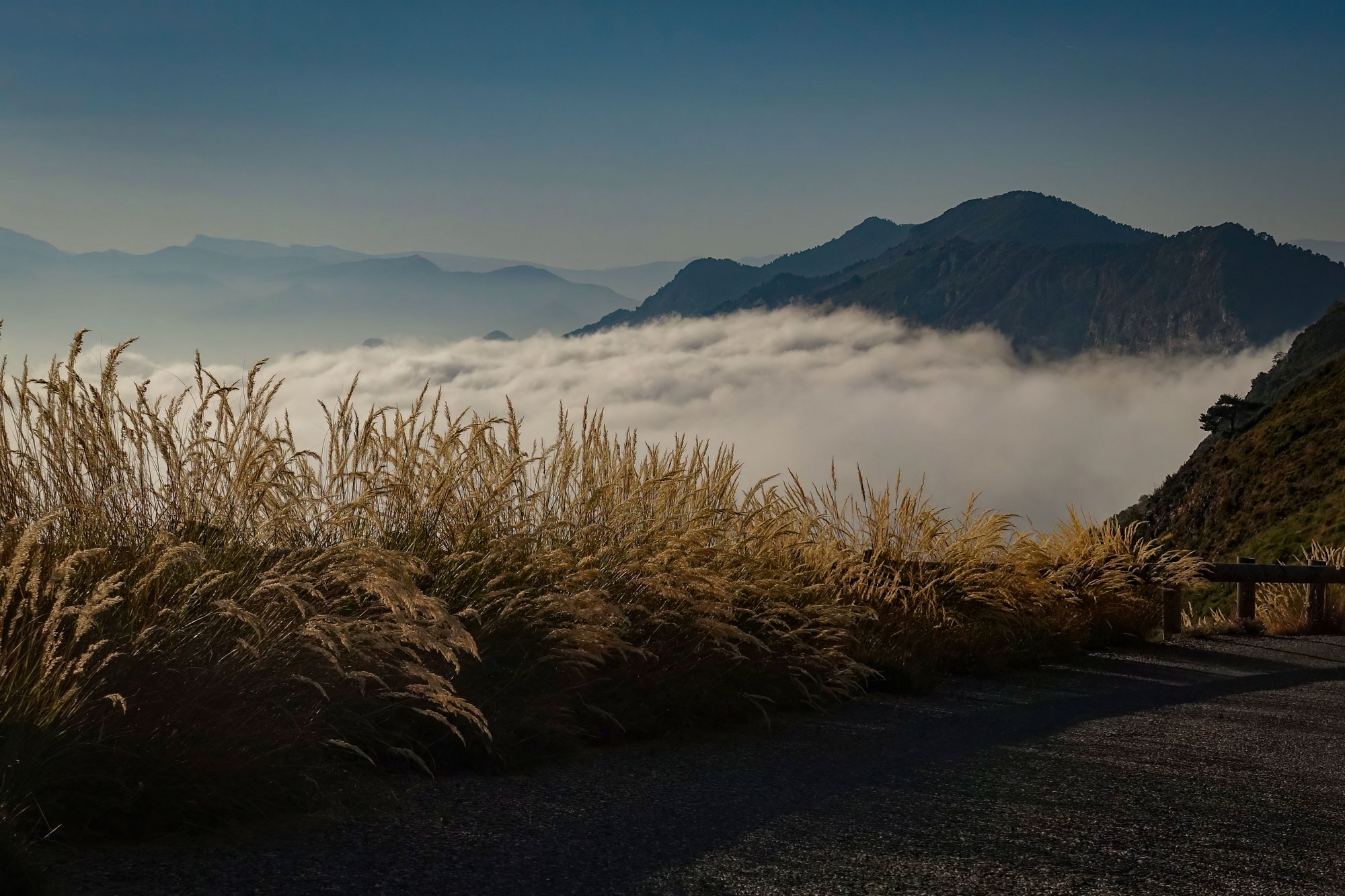
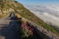
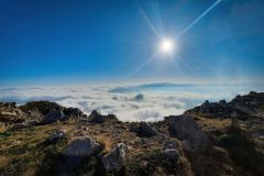
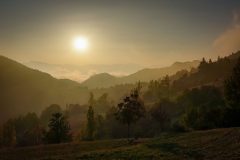
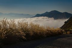
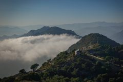
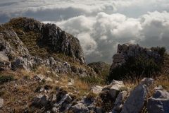
Although the clouds were mucking-up the view to the SE, at least they were providing some beautiful spectacle. It was still cloudless to the north of the ridge I was pleased to see.
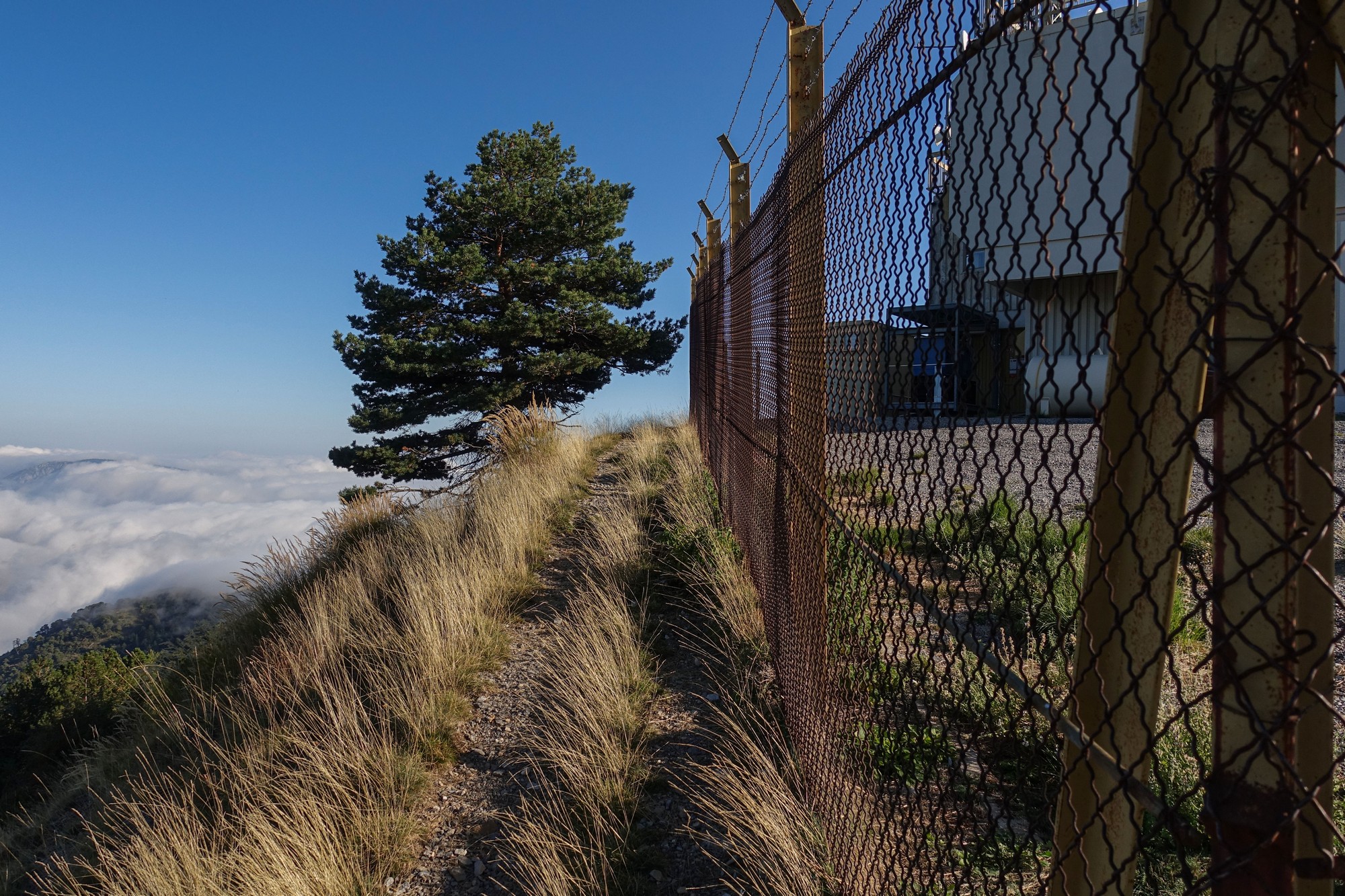
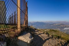
There is a narrow path around the side of the enclosure, so I went round there to have a look.
It got very hairy around the far side so I turned back
Back at the gate, I ate the rest of my sandwich while taking in the views. Less than thirty minutes after arriving, I started to make my way back down, stopping frequently for photos. After riding away from the tower I noticed my Wahoo was on PAUSE. Damn! I’d paused it on the way up and forgot to restart it, so the elevation figure on the map above is less than it should be.
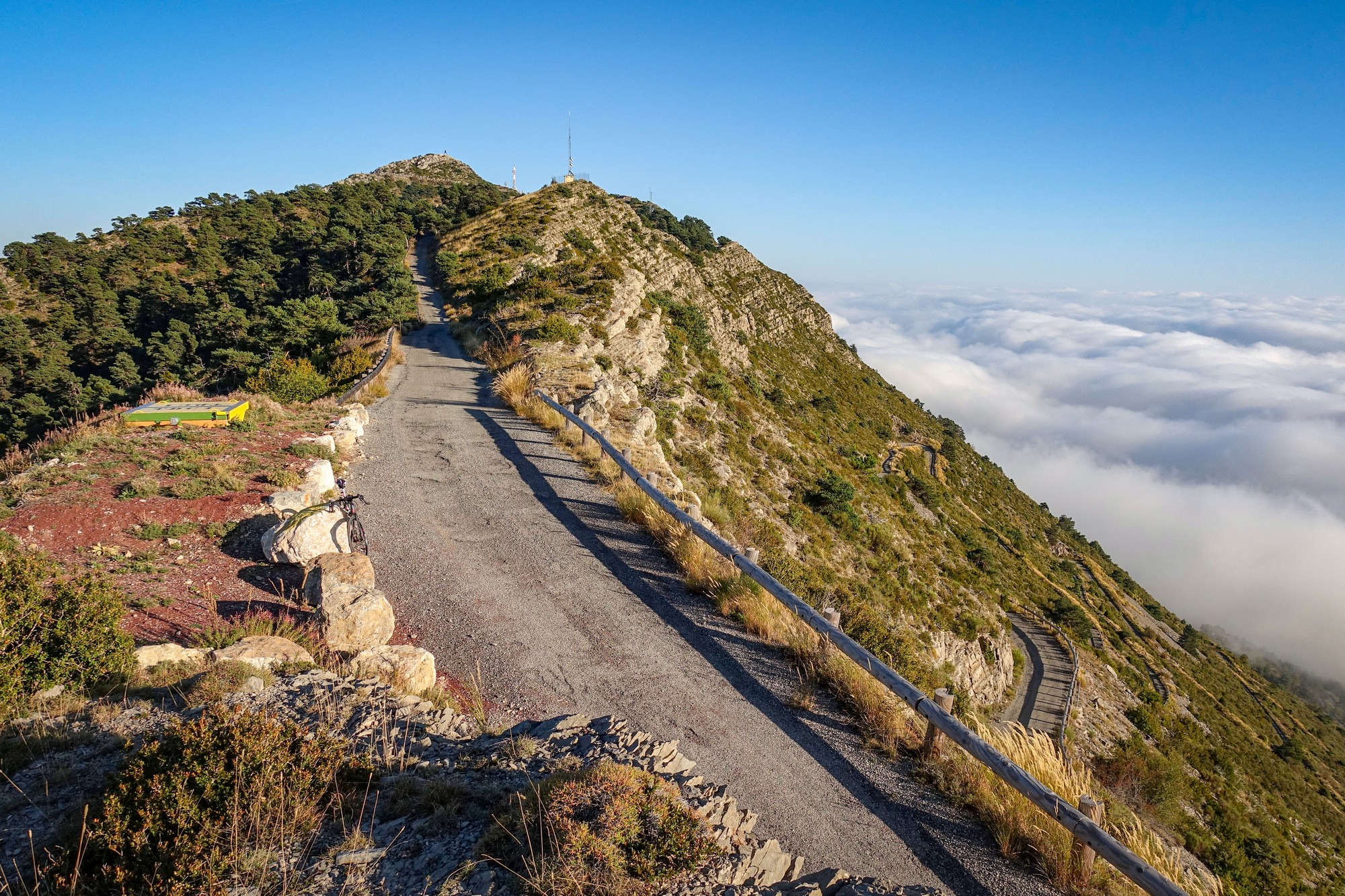
The road surface is not brilliant – it’s only an access road after all – but perfectly useable and better than many proper roads in the UK. But it’s so steep and with those sharp switchbacks you can’t really let go of the brakes anyway.
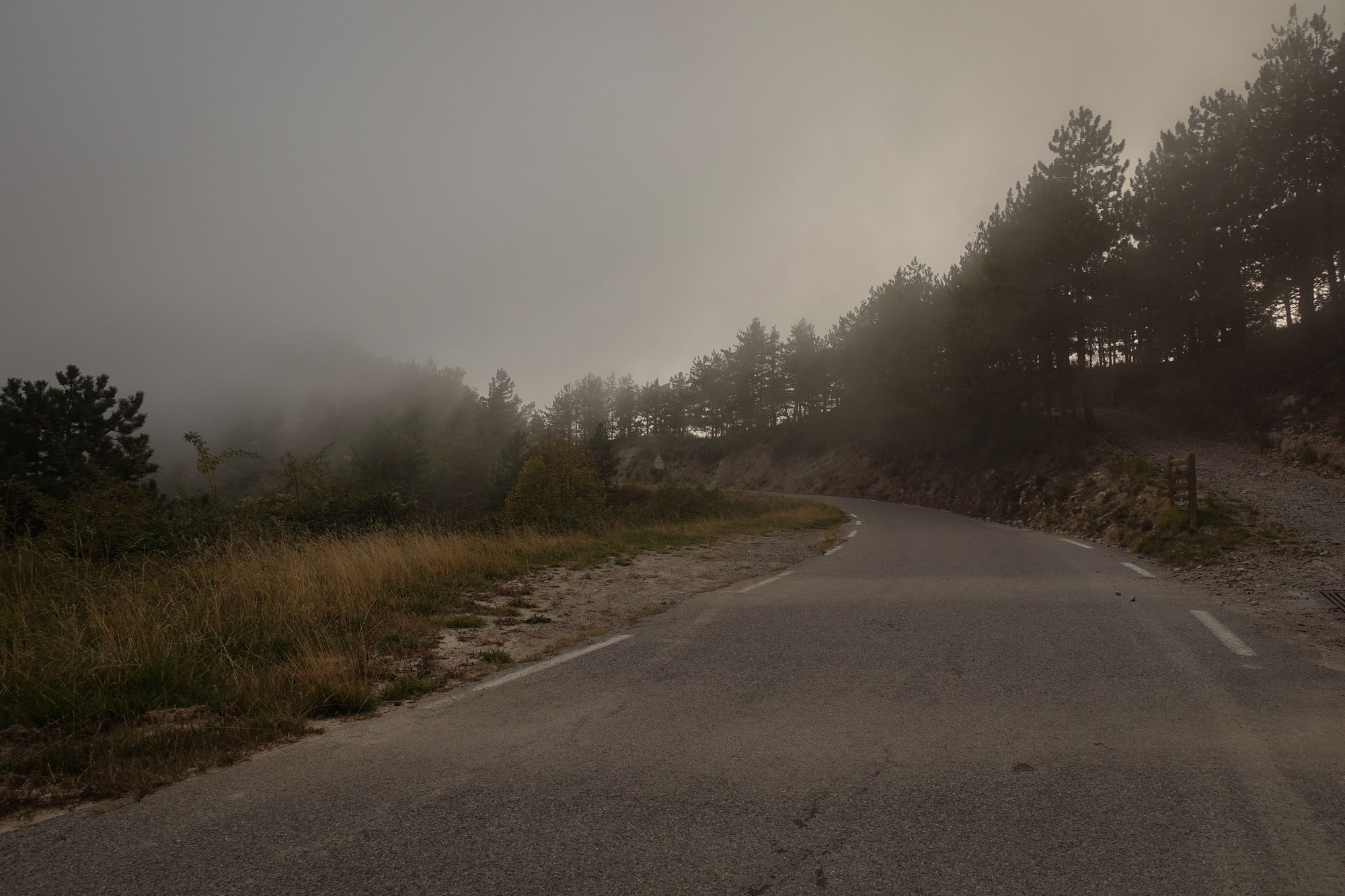
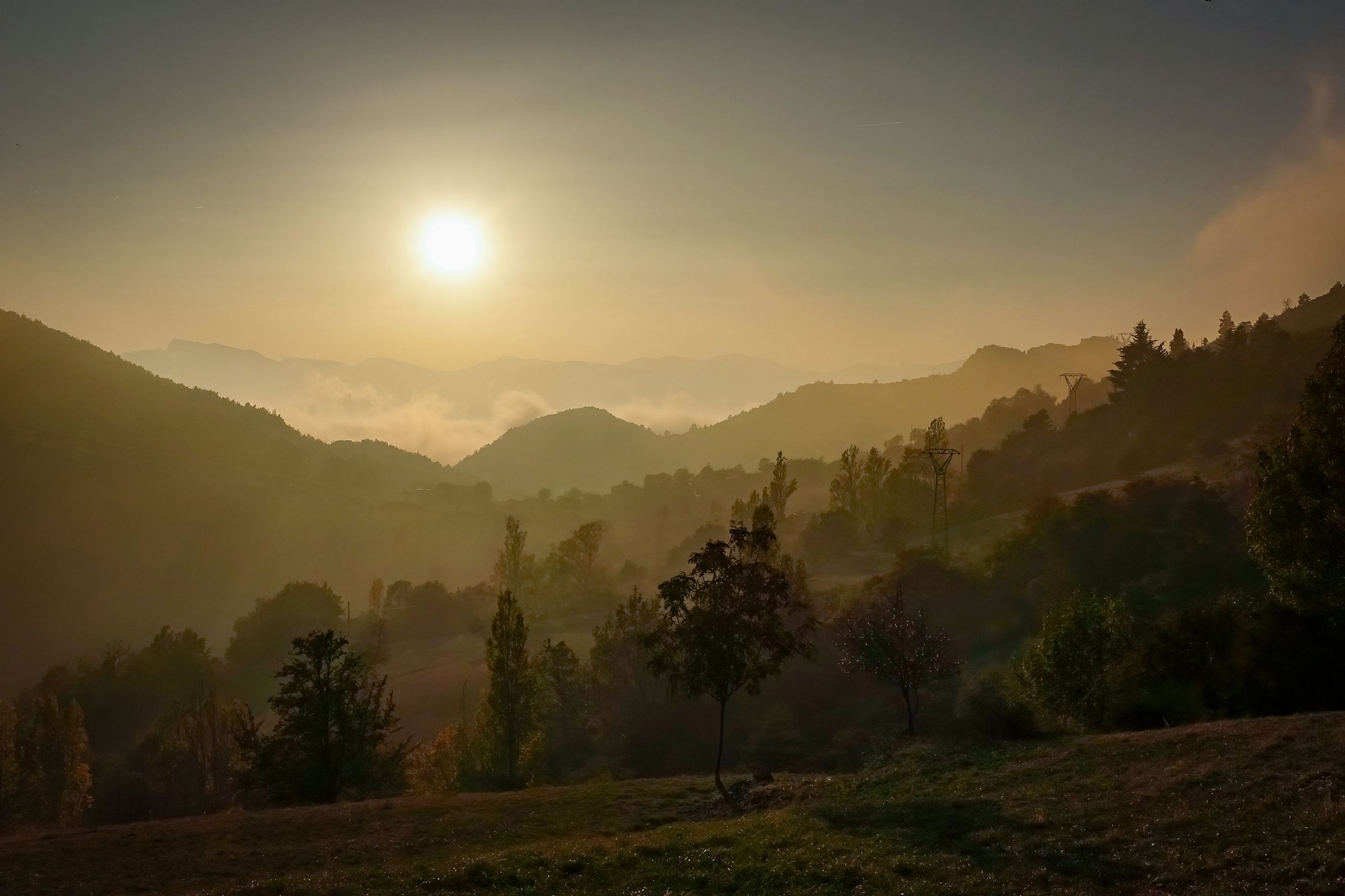
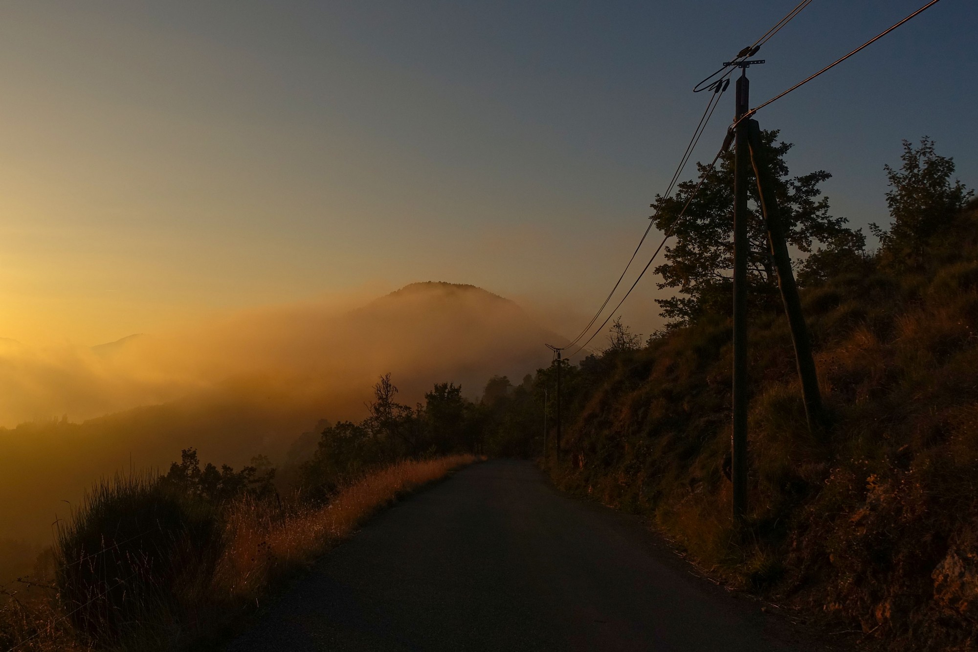
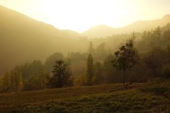
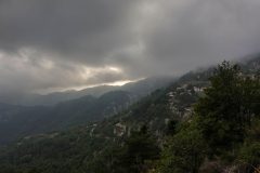
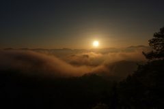
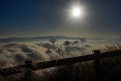
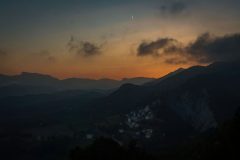
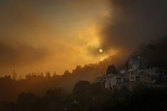
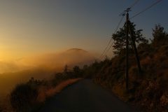
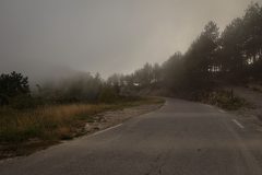
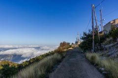
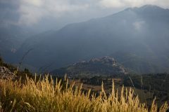
As I made my way down into the clouds it got quite murky and almost felt like rain at one point. I wasn’t impressed. Back down on the D27 road it was very dull and foggy, but once more this led to some evocative vistas.. So again I was frequently stopping, even though I was trying to get a move-on because the light was fading. The ride had taken longer than expected and the fog didn’t help.
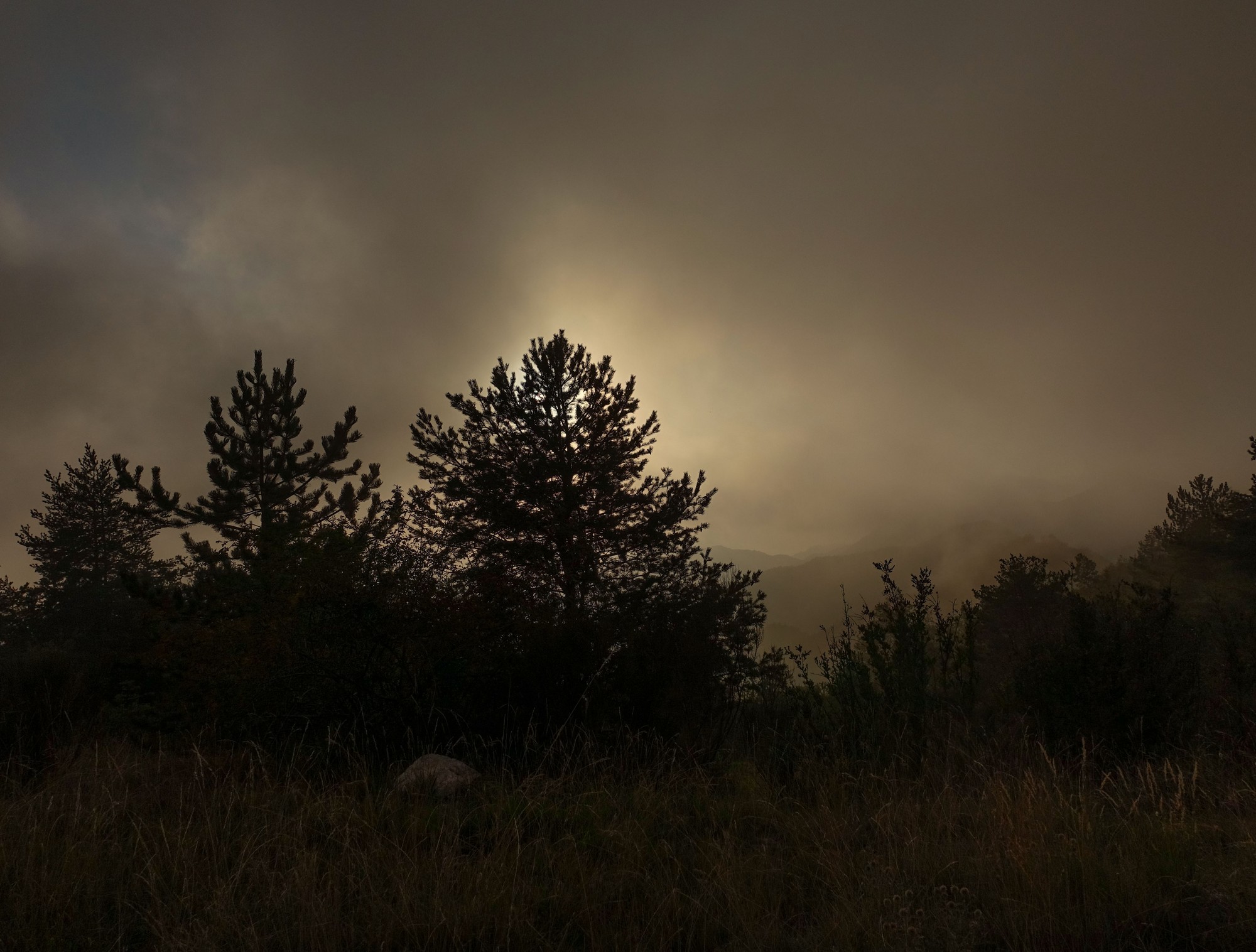
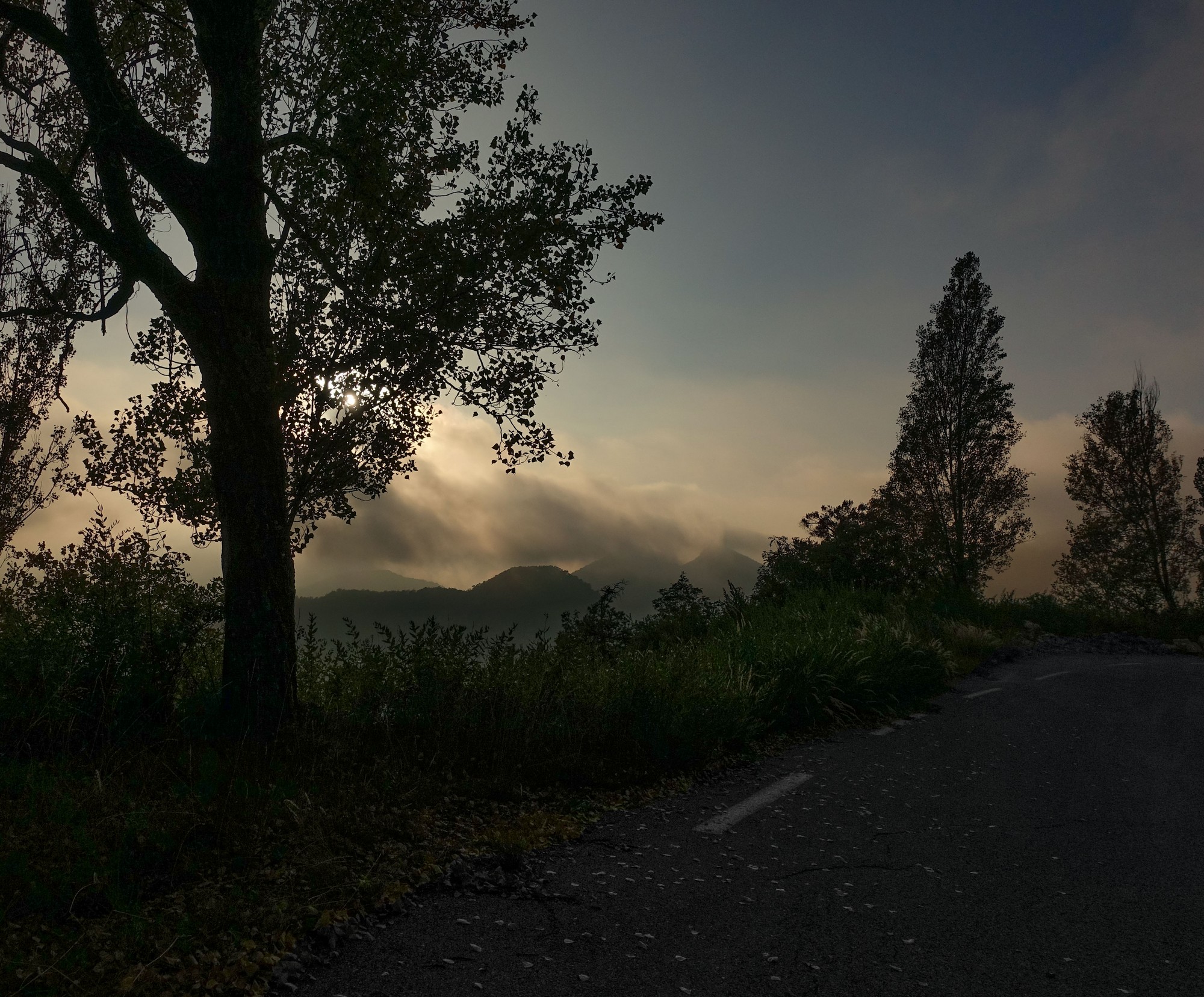
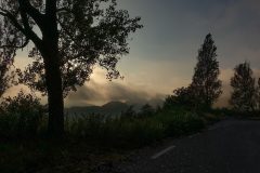
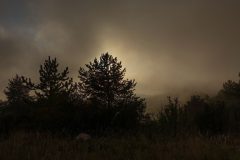
The fog/cloud cleared the further west I got. Again it seemed to take ages to reach Ascros but I knew it was all downhill from there. I put my arm warmers on at Ascros and rode back briskly but kept stopping when I saw amazing effects of the fog and the setting sun.
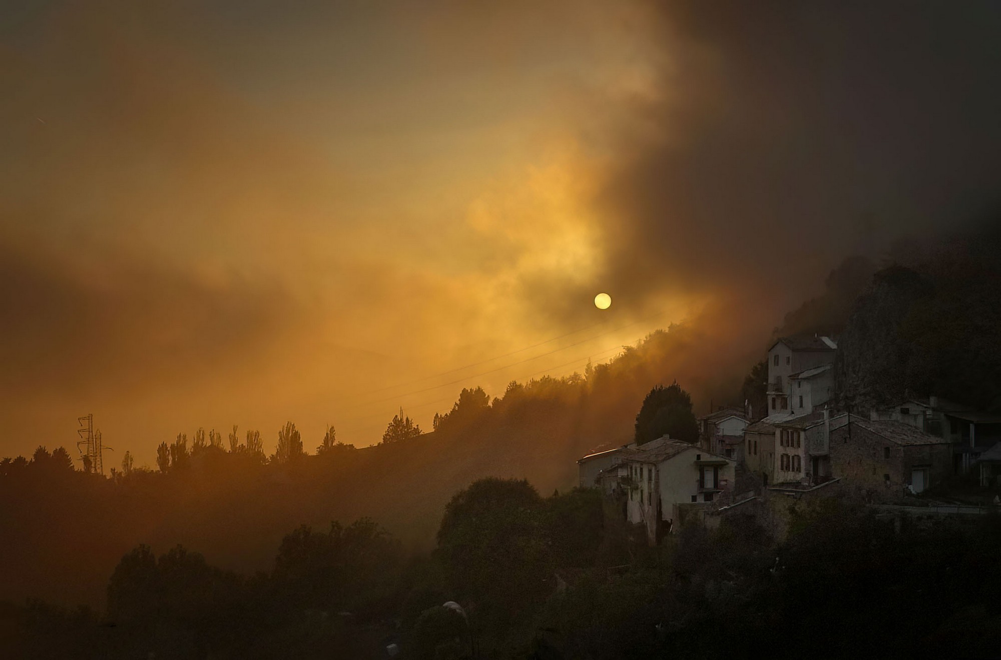
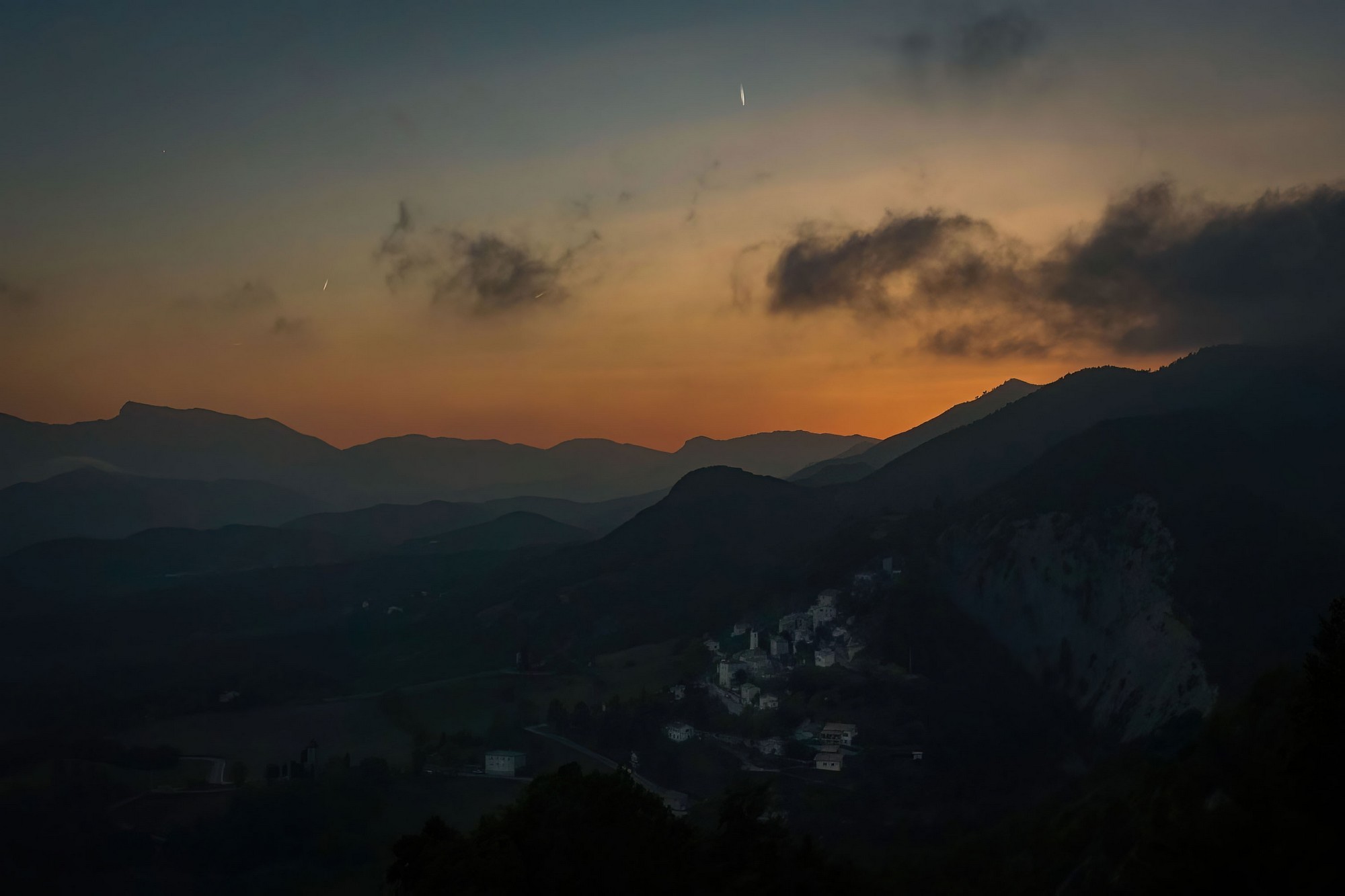
In the parts where the fog was denser I noticed it was very quiet – no birdsong or anything. When I came through one of the villages I heard a cockerel crow and I thought he must have been confused by the weird light.
I really enjoyed the descent from the Col de Saint-Raphaël back down to Puget – I got a PR. There was no fog on this side of the mountain.
I’d had my rear light flashing since Ascros. The daylight was fading as I got back. It was fully dark half an hour after my return.
So, this is another climb ticked off my list. It was a shame that I was denied the view towards Nice, but the amazing effects of the clouds and fog compensated for it.
After the ride I learned that Mont Vial is one of the highest peaks in the Préalpes d’Azur Regional Natural Park and can be seen from the sea. Also, I discovered that I should have been able to see La Madone d’Utelle, to the NE. I only found this out after the ride, and none of my photos taken today show it, so I checked back at my blog post for my ride to La Madone d’Utelle, back in 2019, and one of the photos in that post shows Mont Vial in the background:
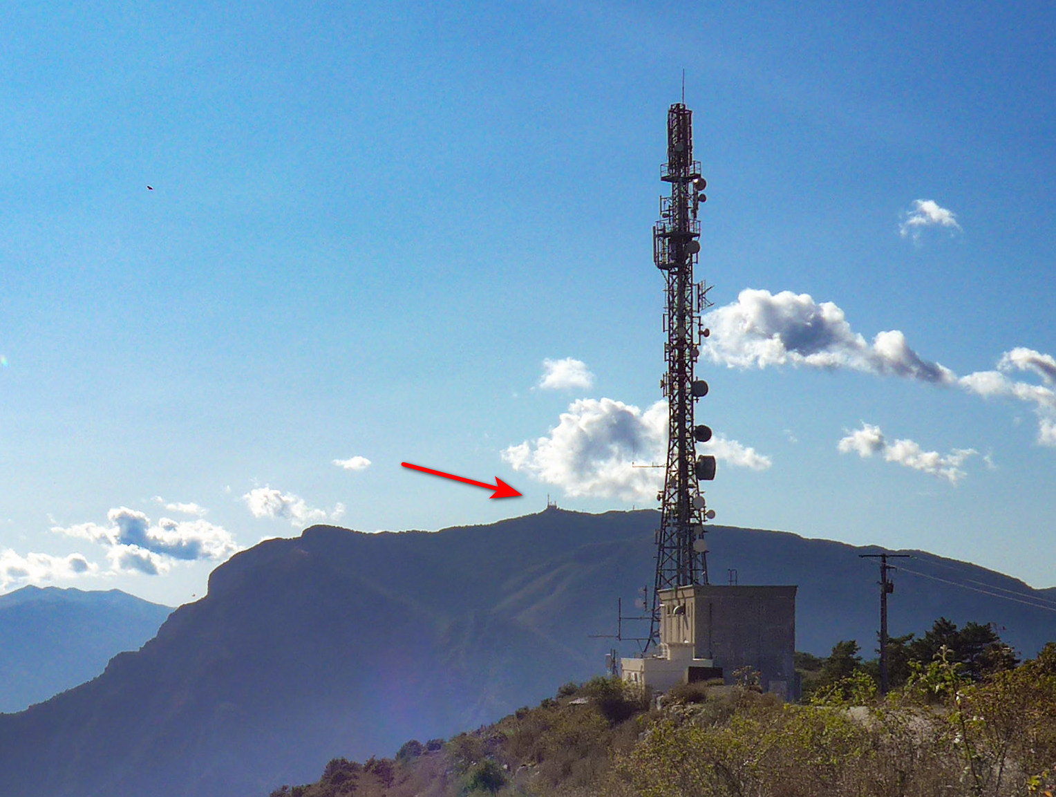
Everything is linked, through space and time, to everything else…
As usual it had been a ride the likes of which is not available in my corner of the UK. So I shouldn’t complain, BUT…. , I’m frustrated that they’ve installed all that armco barrier on the side of the road. Photos on the internet from a few years ago, and the Google Streetview car’s images show that it was much more hair-raising before. Why does everything have to be so safe? I mean exactly how many people have ever driven off the side of this mountain? Probably none. I now regret that I hadn’t done it when I was here in 2019.
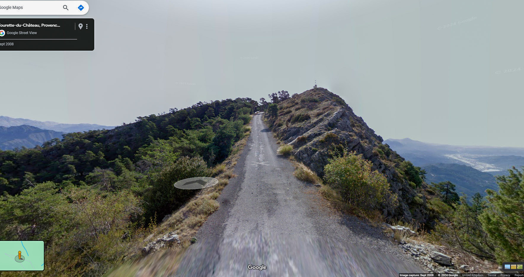
I feel the need to quickly cram as many rides in as I can, before everything gets dumbed-down.
Despite my ranting from back here in UK, this was obviously another wonderful day’s cycling in this spectacular corner of France.
Further reading
Fuel
Gallery
Click to enlarge / see slideshow


