Distance: 57.5 miles. Elevation: 5154 ft.
Col de St-Robert | Pas de la Graille
I had originally planned a 72-mile ride over the col du Négron and then back over the Montagne de Lure to form a loop. But the weather in France is very unpredictable at the moment with lots of thunderstorms around. After my unpleasant experience on my last ride I didn’t want to take any chances, so I cut the route down to just a simple ride up and back down again. It still came to 57 miles, and I didn’t manage to completely avoid the rain.
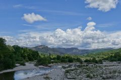
The forecast predicted the chance of rain. There were plenty of clouds in the sky, but not the thick dark ones I’d seen last time. I set off at midday. The first part of the ride was a 12-mile stretch of slightly downhill, following the course of the Jabron river.
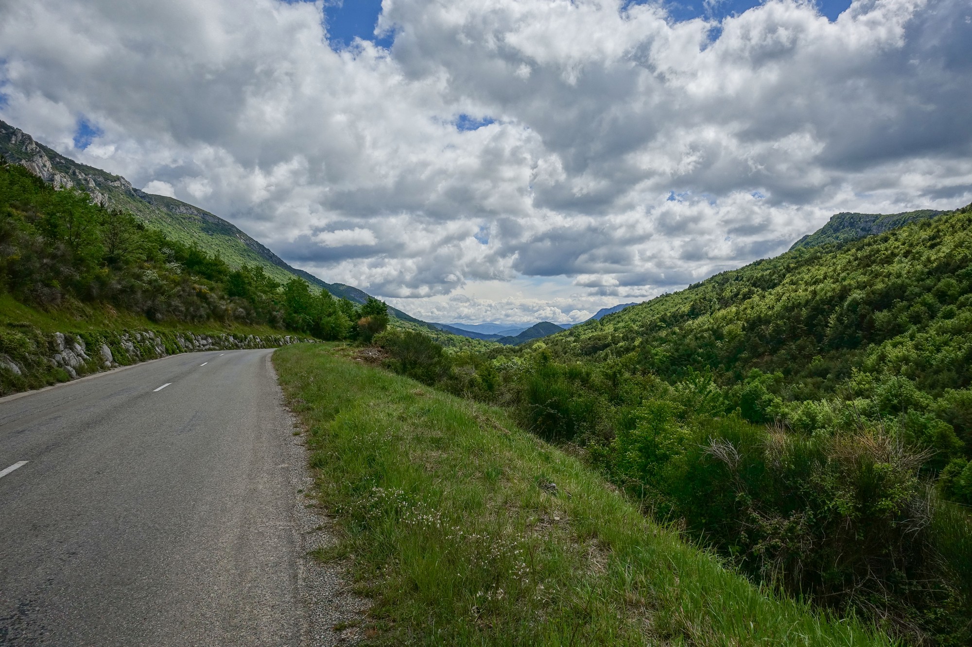
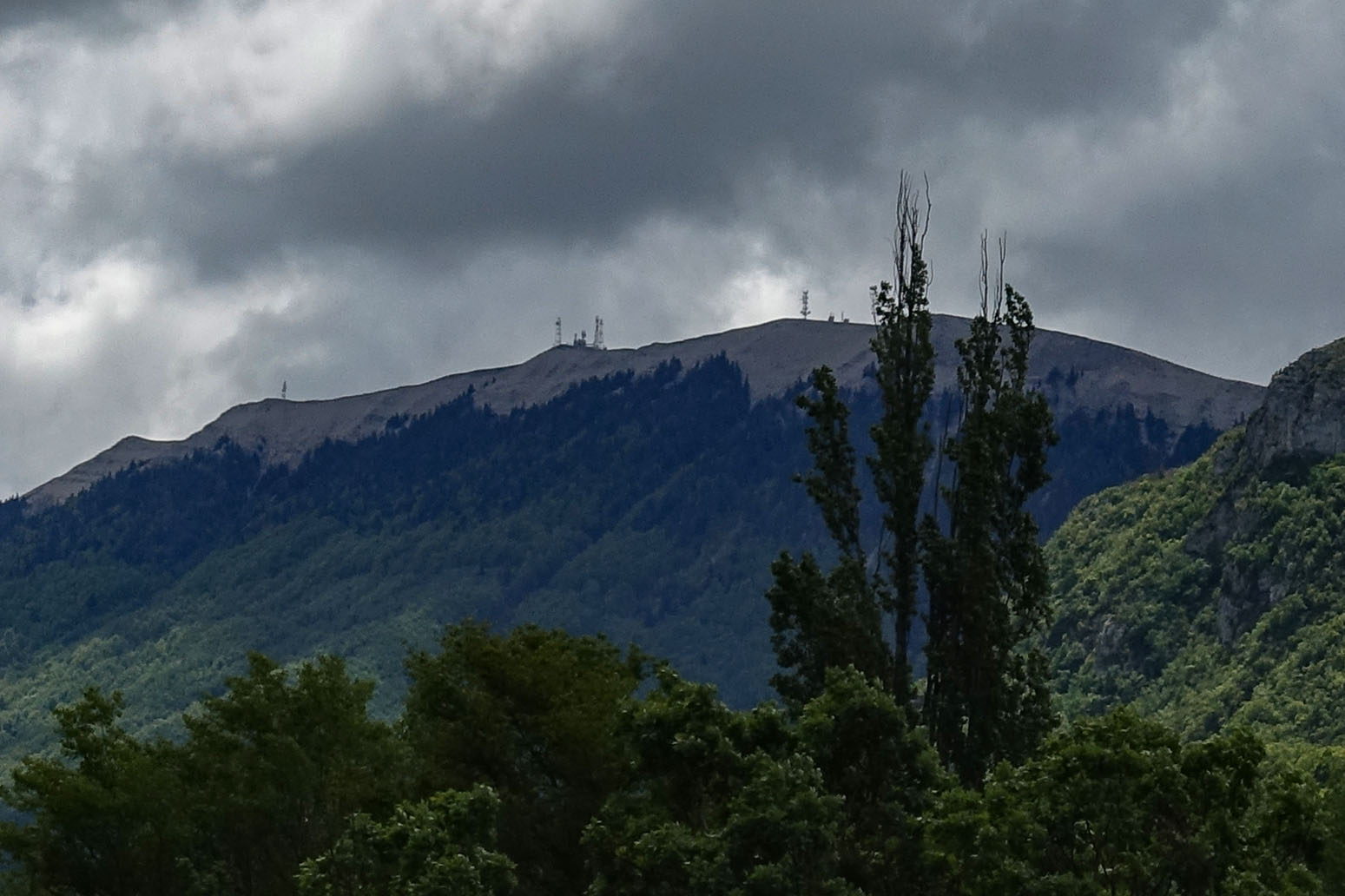
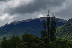
After only a couple of miles I noticed some aerial masts on top of the hills to my right. It looked like the ones at the top of le Sommet de la Montagne de Lure, today’s destination. But I still had nearly eight miles to go to the turn off; they seemed too close at this stage so I assumed they were something else.
Several miles later the masts were still visible to my right. The scale of the landscape had confused me. I realised they were the ones I was heading for.
Only half a dozen cars passed me during the 40 minutes down to the turn off. It was not very warm. I had my arm warmers and my rain jacket on.
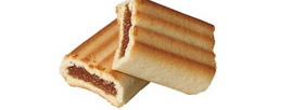
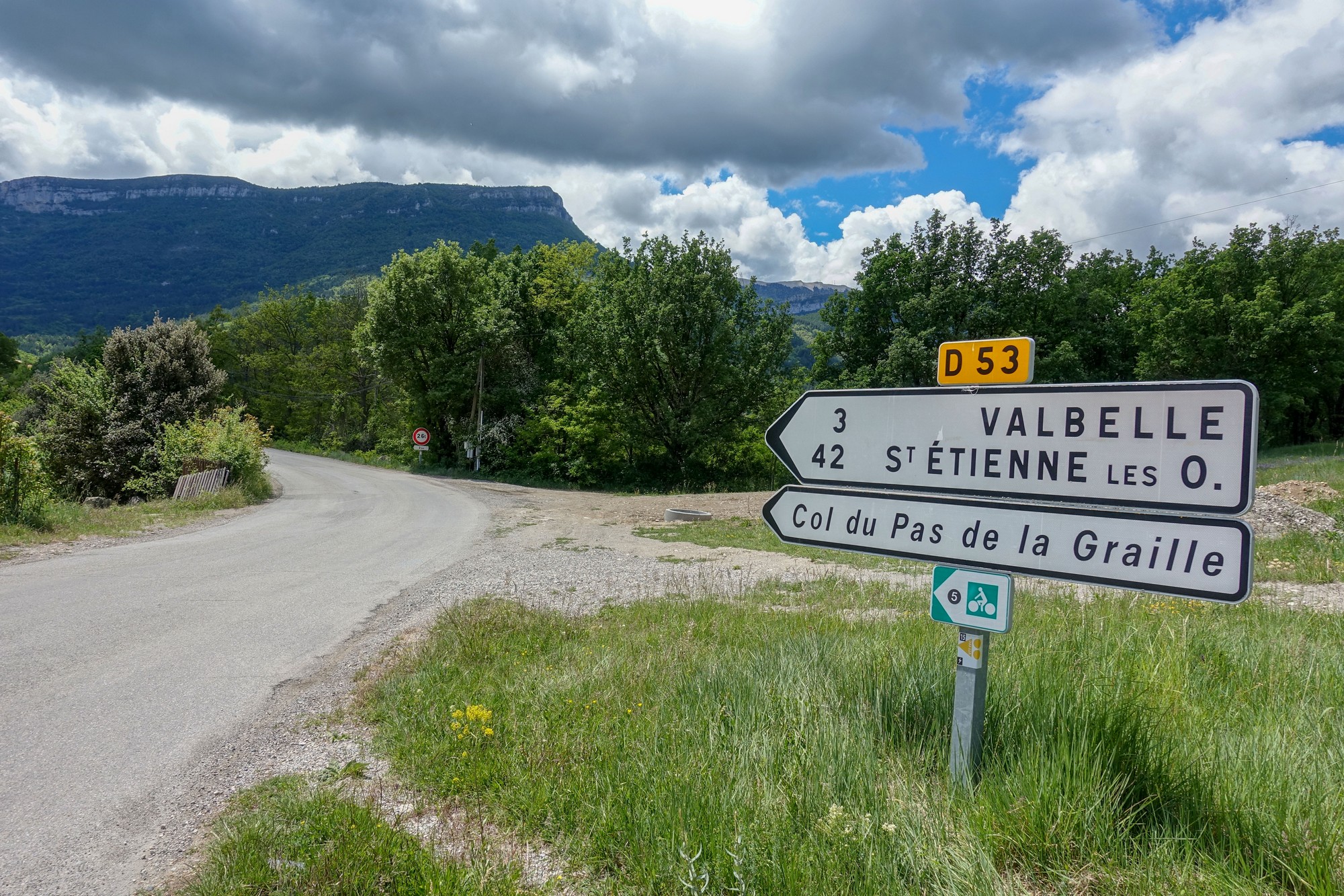
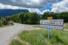
I stopped at the turn-off for an energy gel and a fig roll.
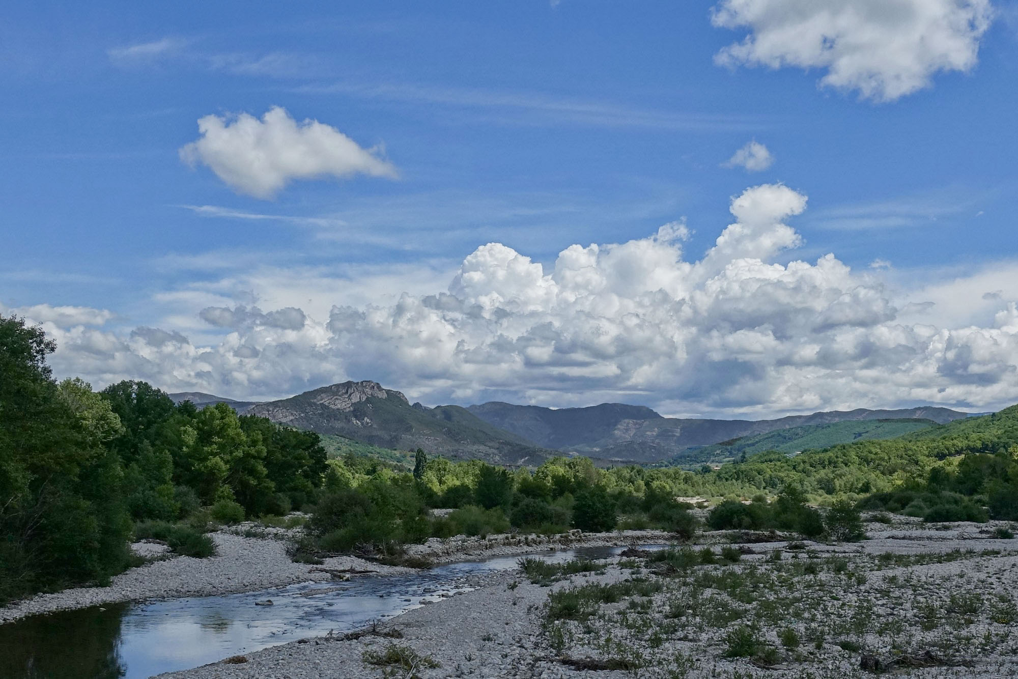
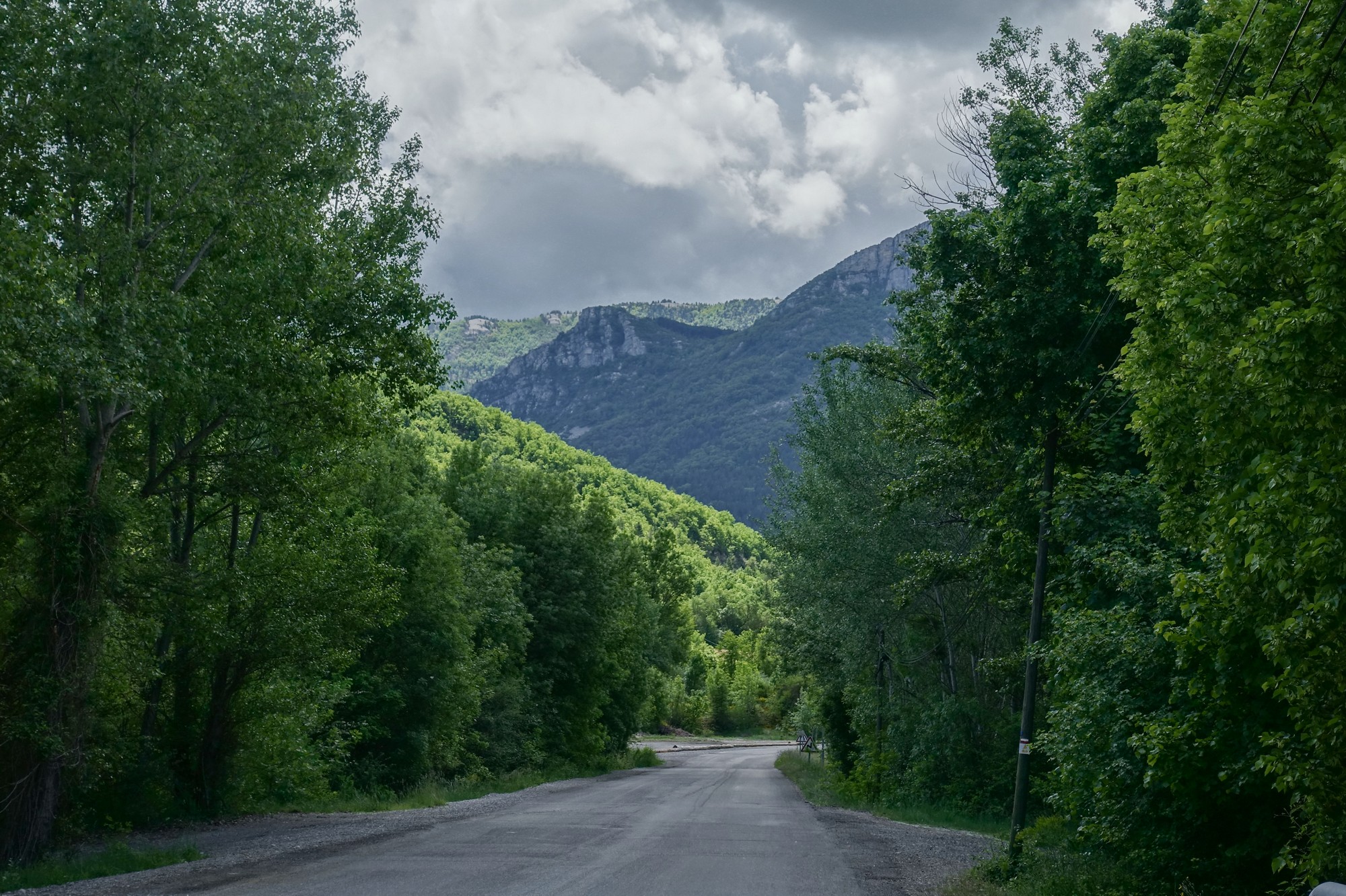
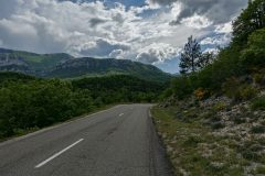
The climb started with a very easy gradient for the first couple of miles. There were even flat bits and descents. Then came a 7% section. It wasn’t the gradient that concerned me on this climb, but the length of it.
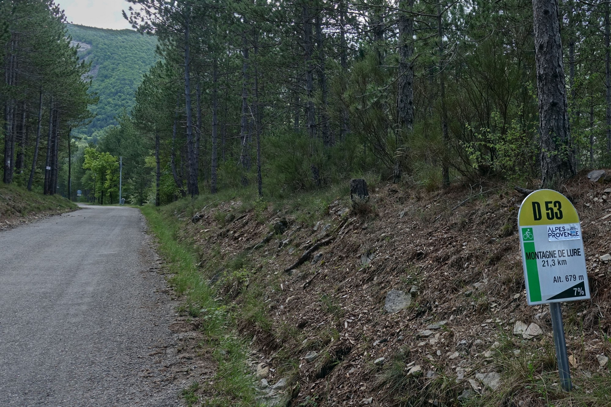
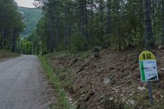
I still had thirteen miles to go, and I’d already covered three. After that steeper bit came an easy four miles of around 4%. All this time the road had been sweeping around a huge ravine, with no indication ahead of how the road was going to scale the huge walls of forest facing me.
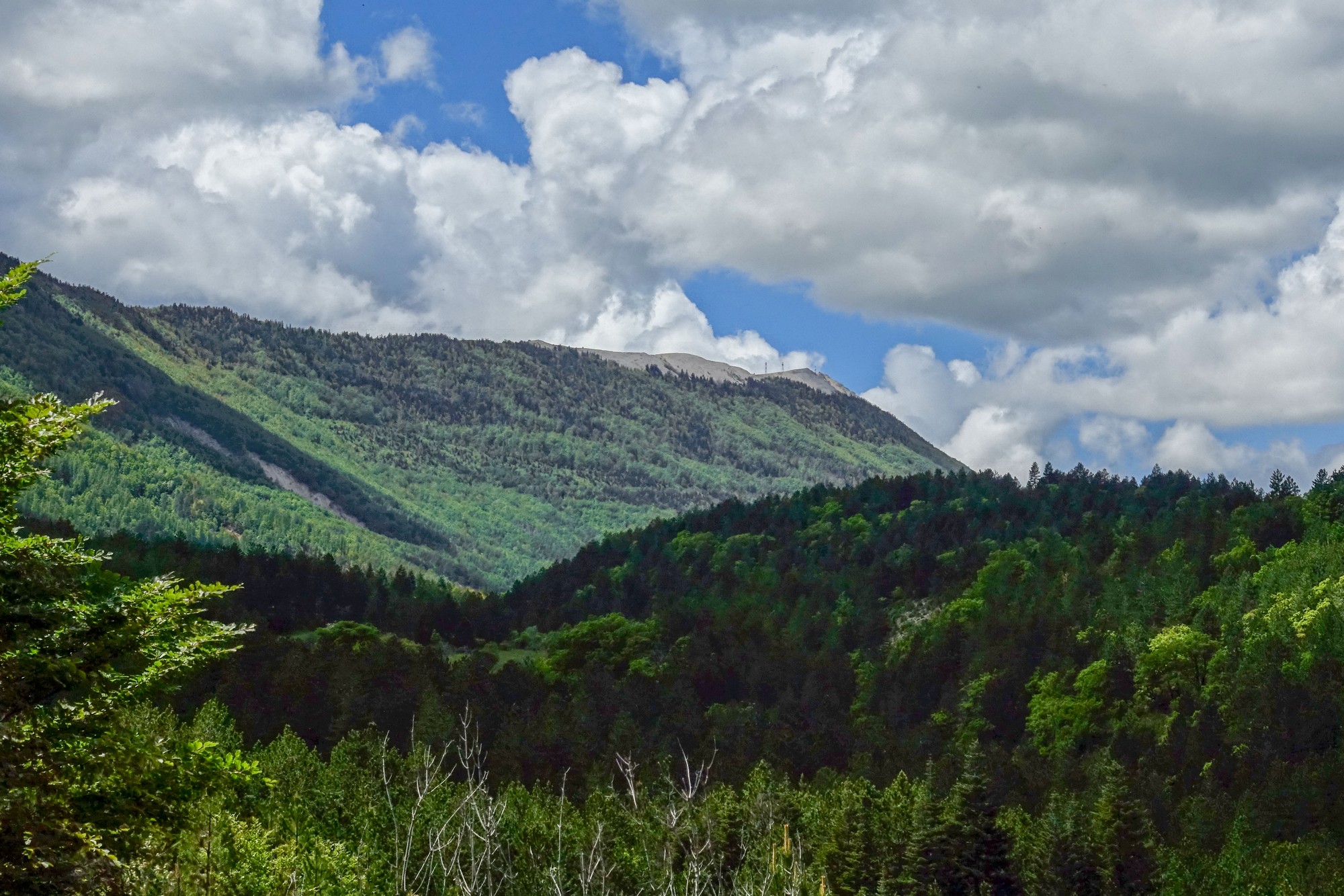
At one point the aerial masts at the top came into view.
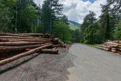
But that didn’t last long as the road went back into the forest. I was counting off the kilometers as I passed the roadside markers. All the time I was aware of the dark sky, but there was blue up there as well so I still had hope.
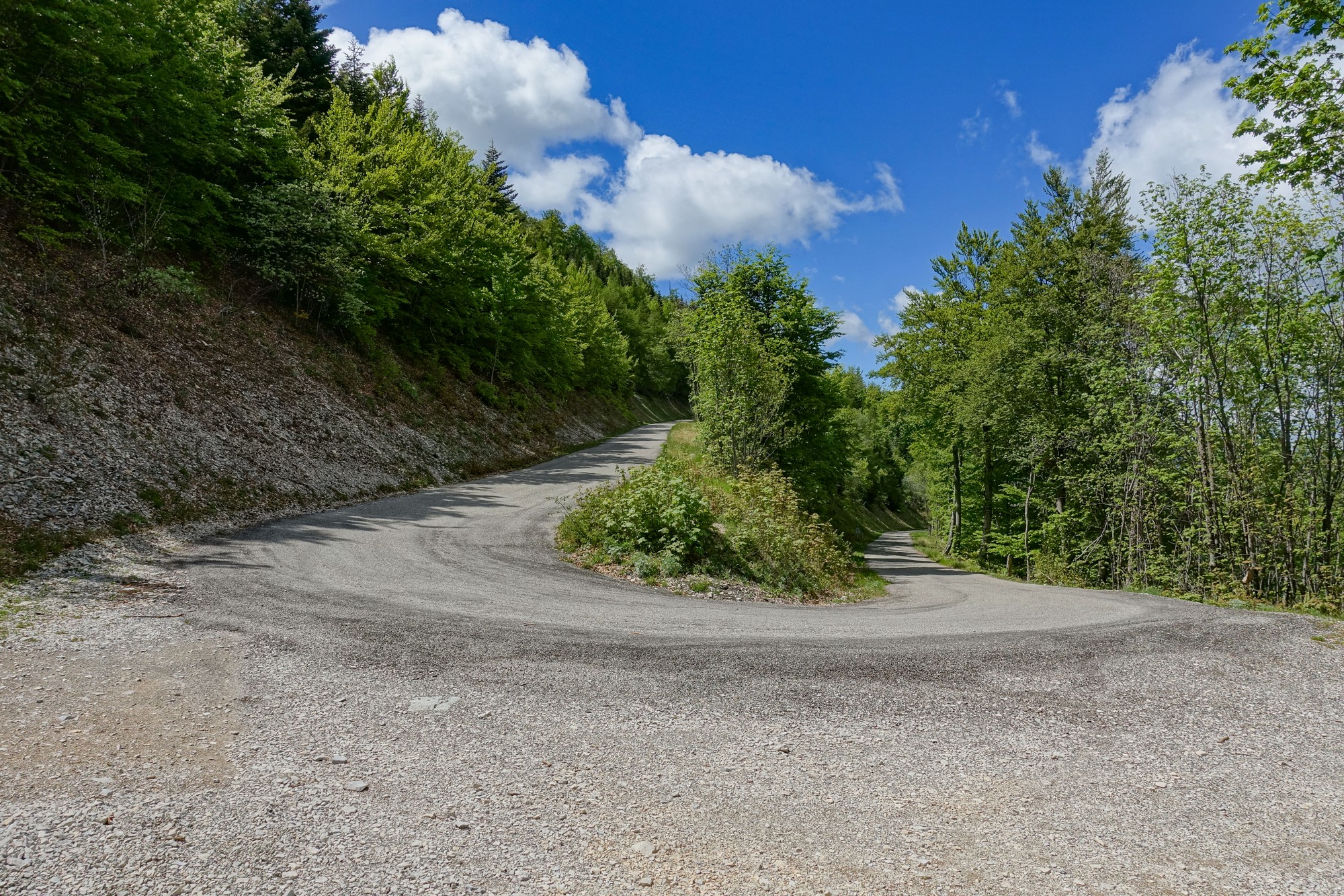
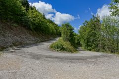
After ten miles and ninety minutes of fairly gradual ascent, the road decided to make more of an effort and climbed up the side of the mountain via a series of three very long switchbacks, the gradient now picking up to 6.5%.
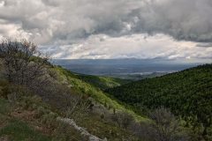
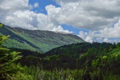
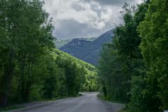
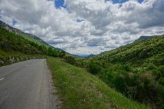
There were tantalising glimpses of the view to the northeast, towards the Alps, through the trees, but not enough clearance between the trees for decent photos.
A couple who had stopped by the roadside to check-out that limited view, each said to me “you’re nearly there” (in French). I said “about 4km?”. They didn’t think so, it appeared. Shortly after that I saw a roadside marker indicating 4km to go. “yeah, 4k” I mumbled to myself, as if confirming my own sanity.
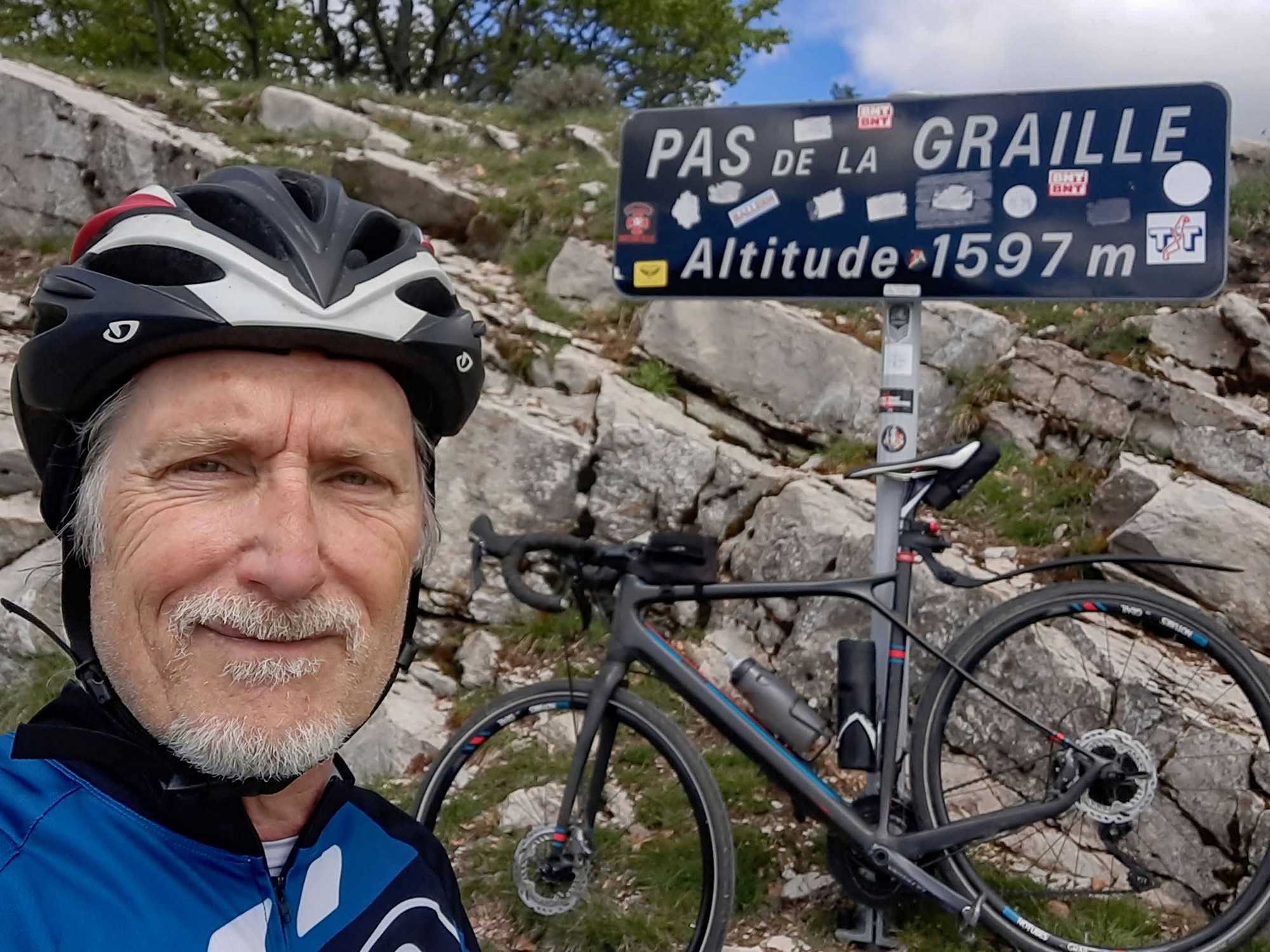
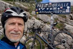
But about half a mile further on I unexpectedly came to the Pas de la Graille. So that’s what they’d been referring to.
From that col, I still had 3km to go to get to the highest point.
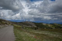
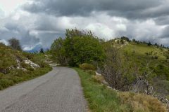
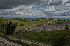
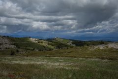
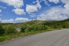
Once past the col there is no forest to obscure the view. From this point there is a clear view of the aerials at the top, and of the road that sweeps around to meet them. It’s not dissimilar to the top section of Mont Ventoux, except there is greenery here, not the grey moonscape of the Géant de Provence.
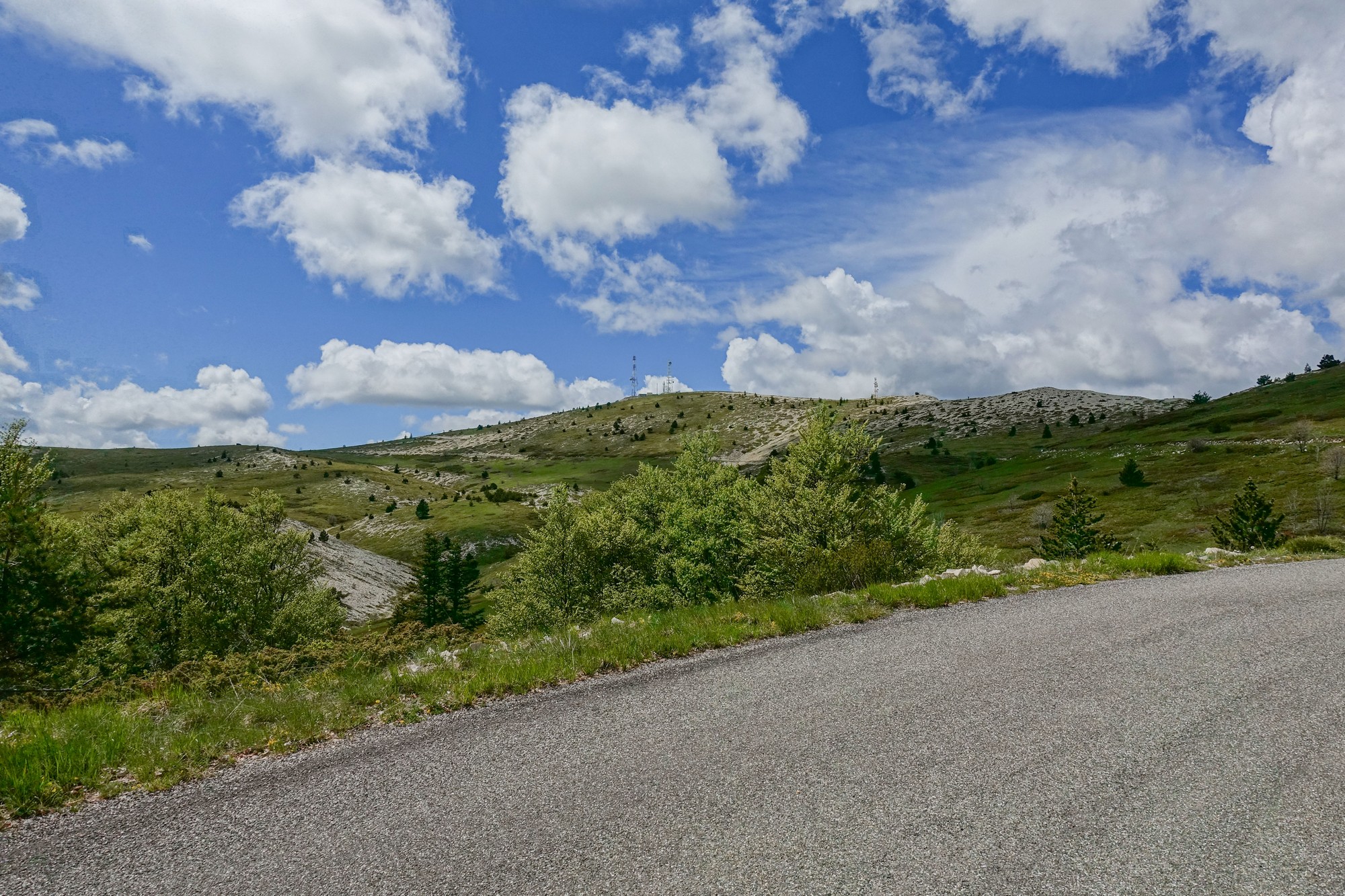
And the gradient eased right back for those last kilometers. There was hardly any traffic. Two cars had passed me in the whole of the 2.5 hour climb. The only cyclists I’d seen were a couple descending past me earlier.
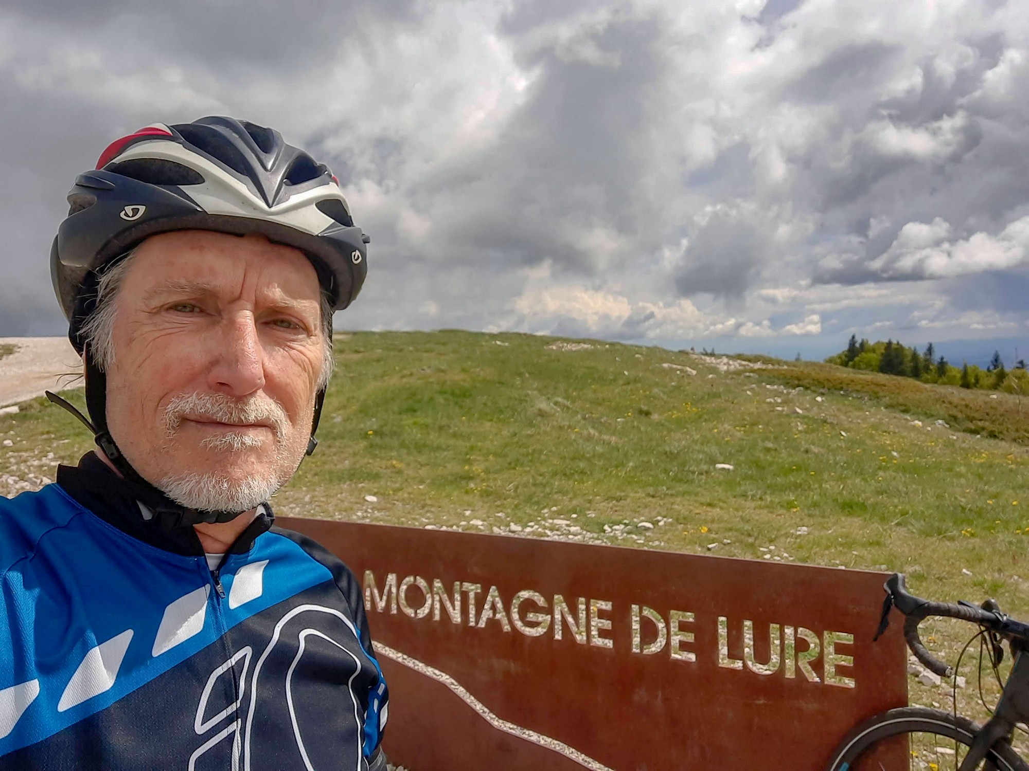
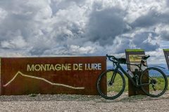
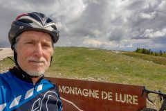
I reached the top about 15 minutes from the pas de Graille.
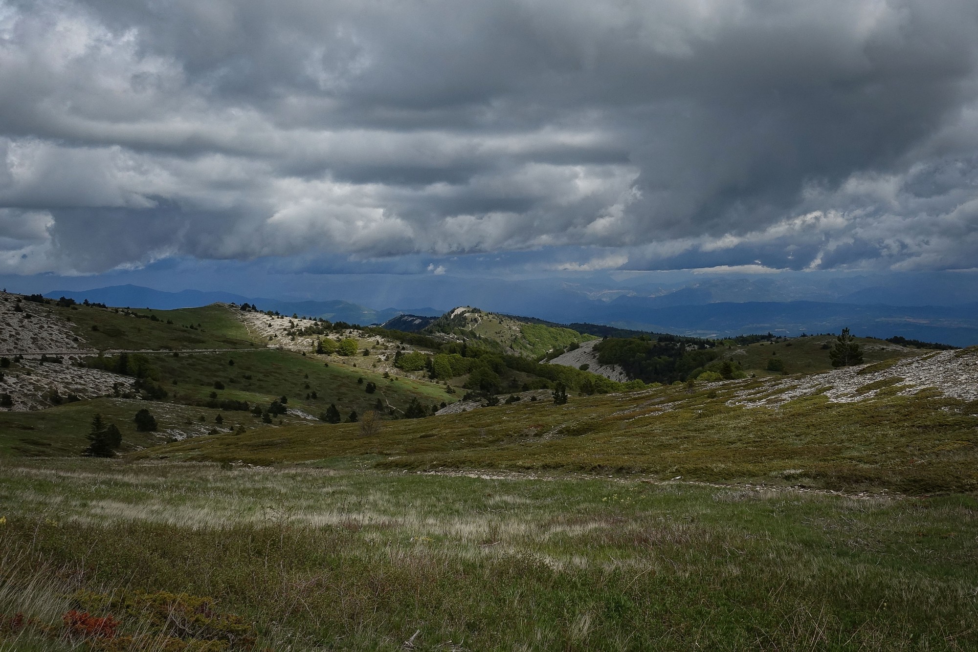
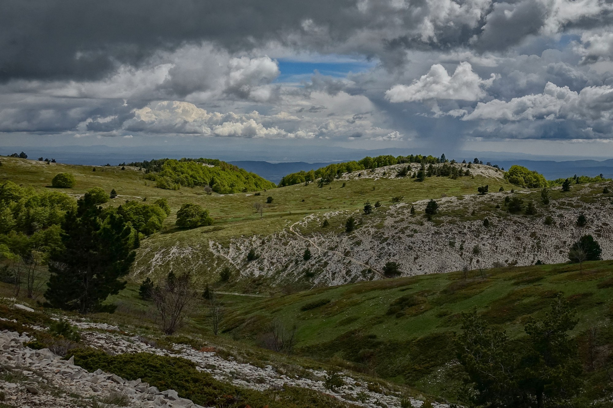
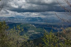
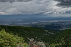
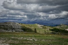
The views were amazing. Unfortunately the leaden skies were limiting the range of visibility. There were lots of dark clouds around, some of them visibly raining in the distance.
I briefly considered going up to the aerials, but with all that heavy weather out there I wanted to start the descent ASAP.
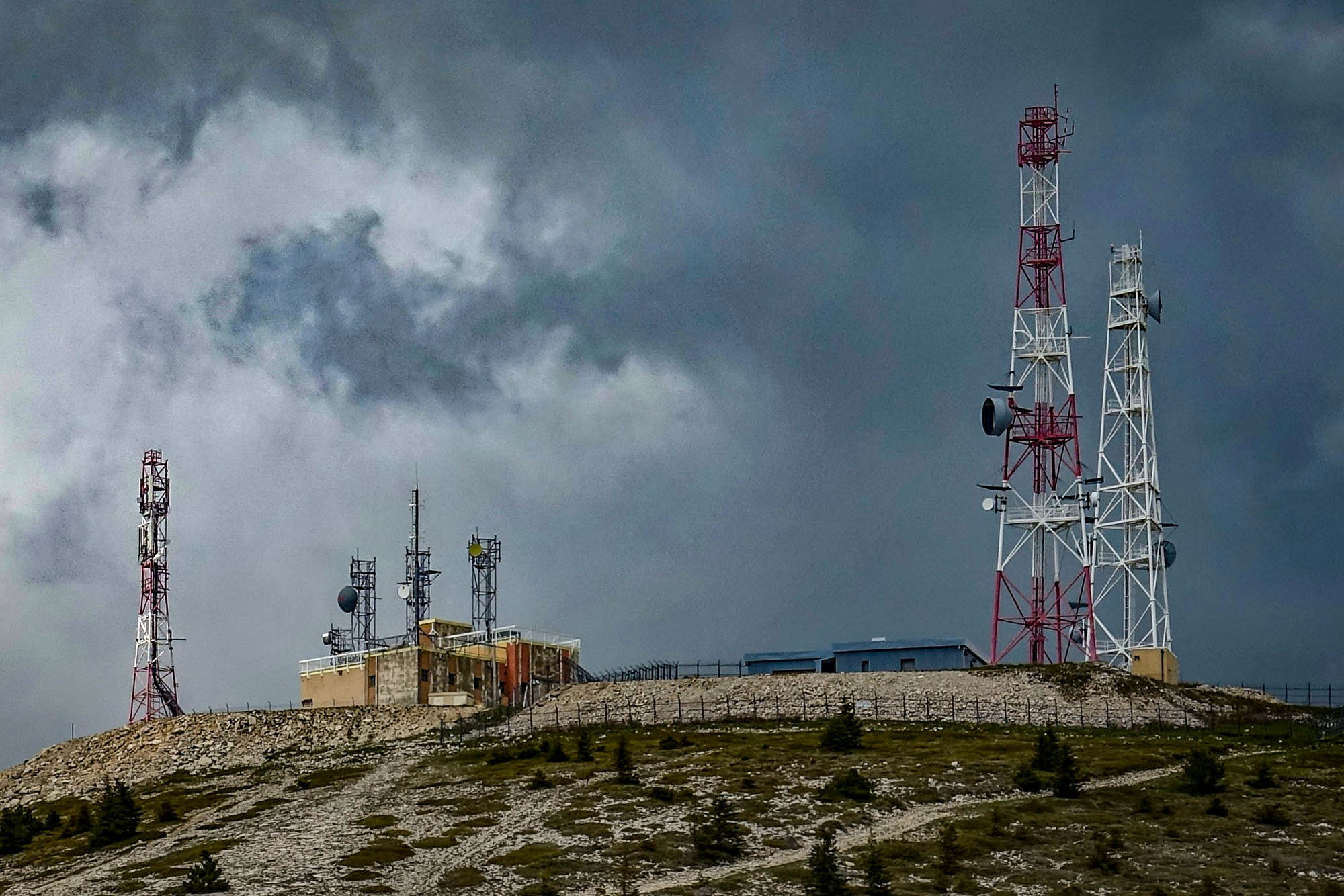
So I got a few photos and left almost immediately. Inevitably I had to stop a few more times on that first bit of the descent for more shots.
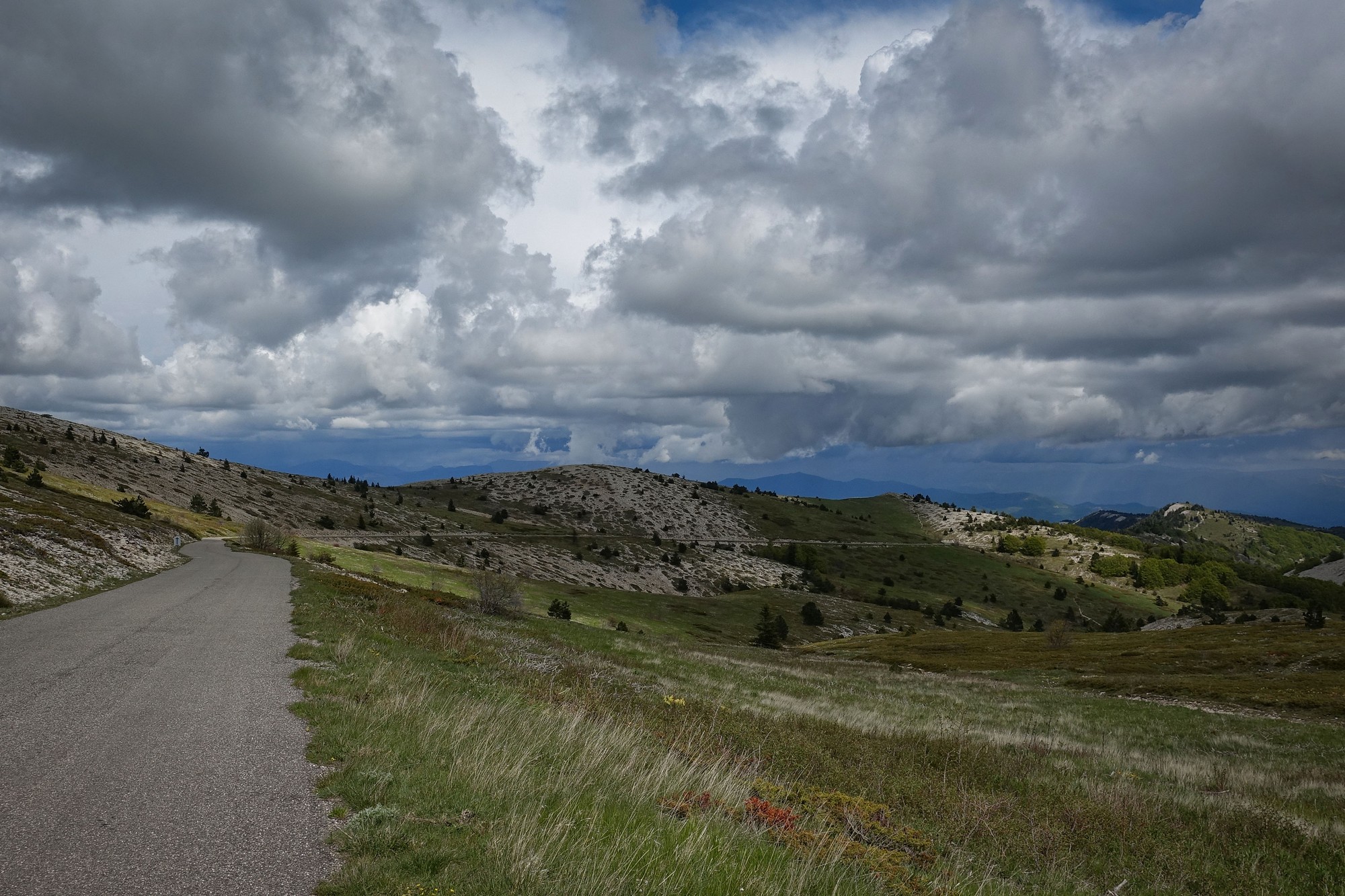
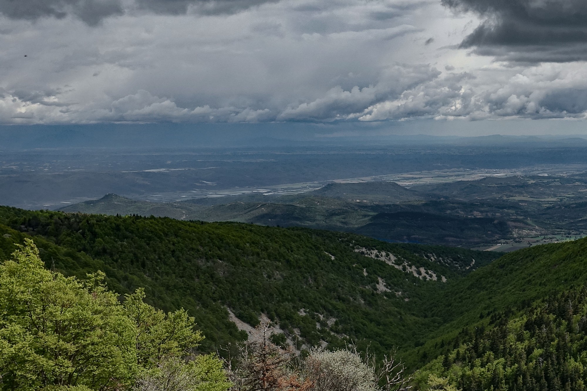
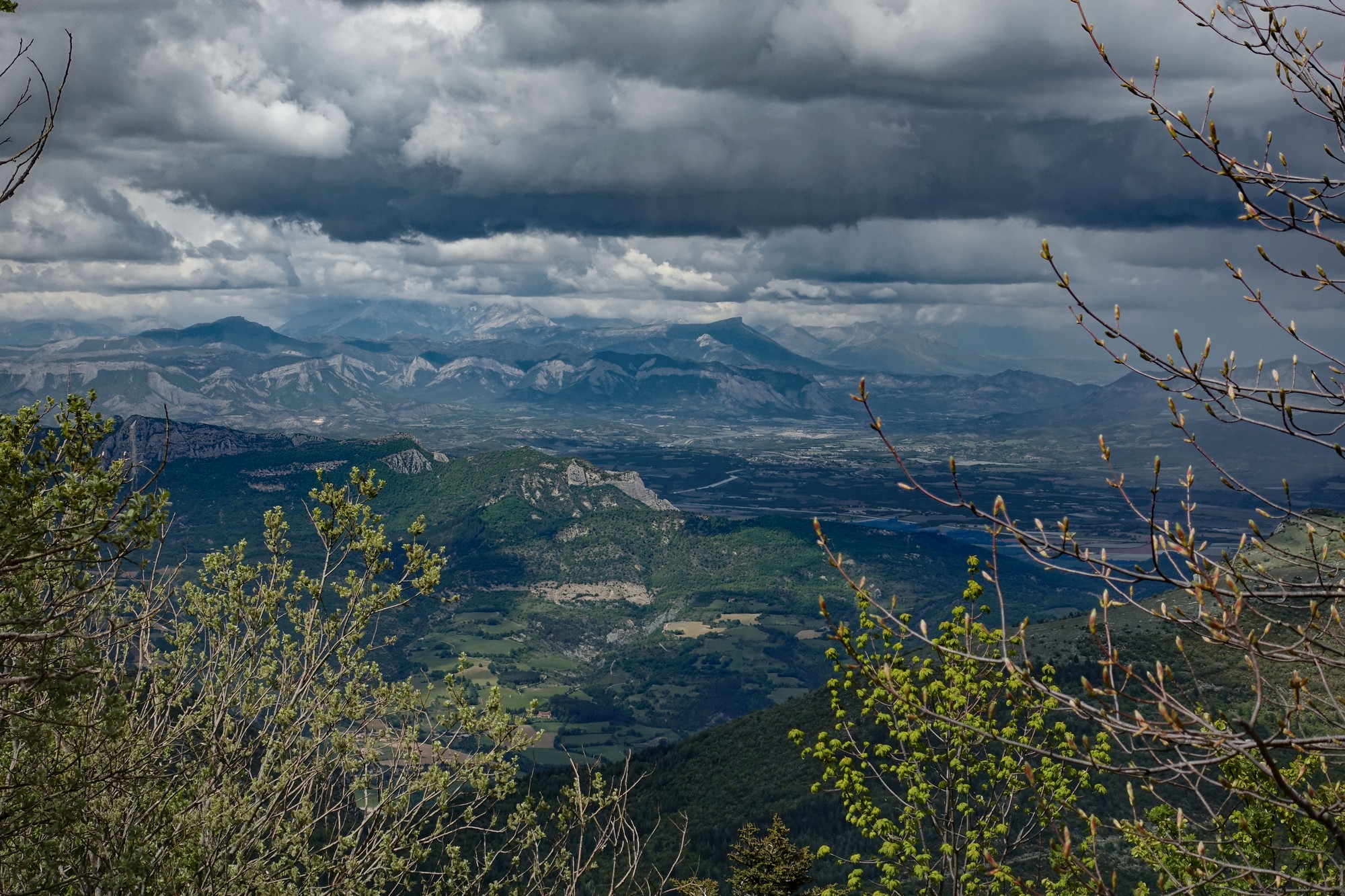
The descent was a bit of a bone-shaker. The road surface was quite uneven. Again, not too bad with 35mm tyres, but very tiring on the hands, arms and neck, and legs because they’re usually locked in one position. In fact the whole body braces to absorb the bumps. A couple of times I thought I heard things hitting my jacket but I just put it down to insects or something. But some of it was probably rain.
The only vehicles I saw on the whole descent were two ‘hot hatches’ climbing the twisty road at speed, as they whizzed past me. They took me by surprise in fact, and I was a bit more cautious after that.
Rain started a few miles before the bottom of the descent. I carried on riding because there was nowhere dry to stop. Then I saw a large privet archway over a gate. So I sheltered under that and stood looking at the rain coming down. I kept checking the sky to see if there was any sign of which way the weather was moving. After about fifteen minutes standing there, getting cold, the rain stopped. I set off again, but now I was riding much faster, away from the hills over which the grey clouds seemed to be coming from.
When I reached the main road the view of the sky up the valley looked not too bad, with bits of blue. Nevertheless, I had twelve miles to go, which would take probably an hour, and in that time anything could change. So I went into timetrial mode, pushing as hard as I could to beat the rain. In fact nearly all of that road surface was dry, so it obviously hadn’t been rained-on. Maybe the rain was confined to the hills.
As I got further along I became more confident that I would make it back dry.
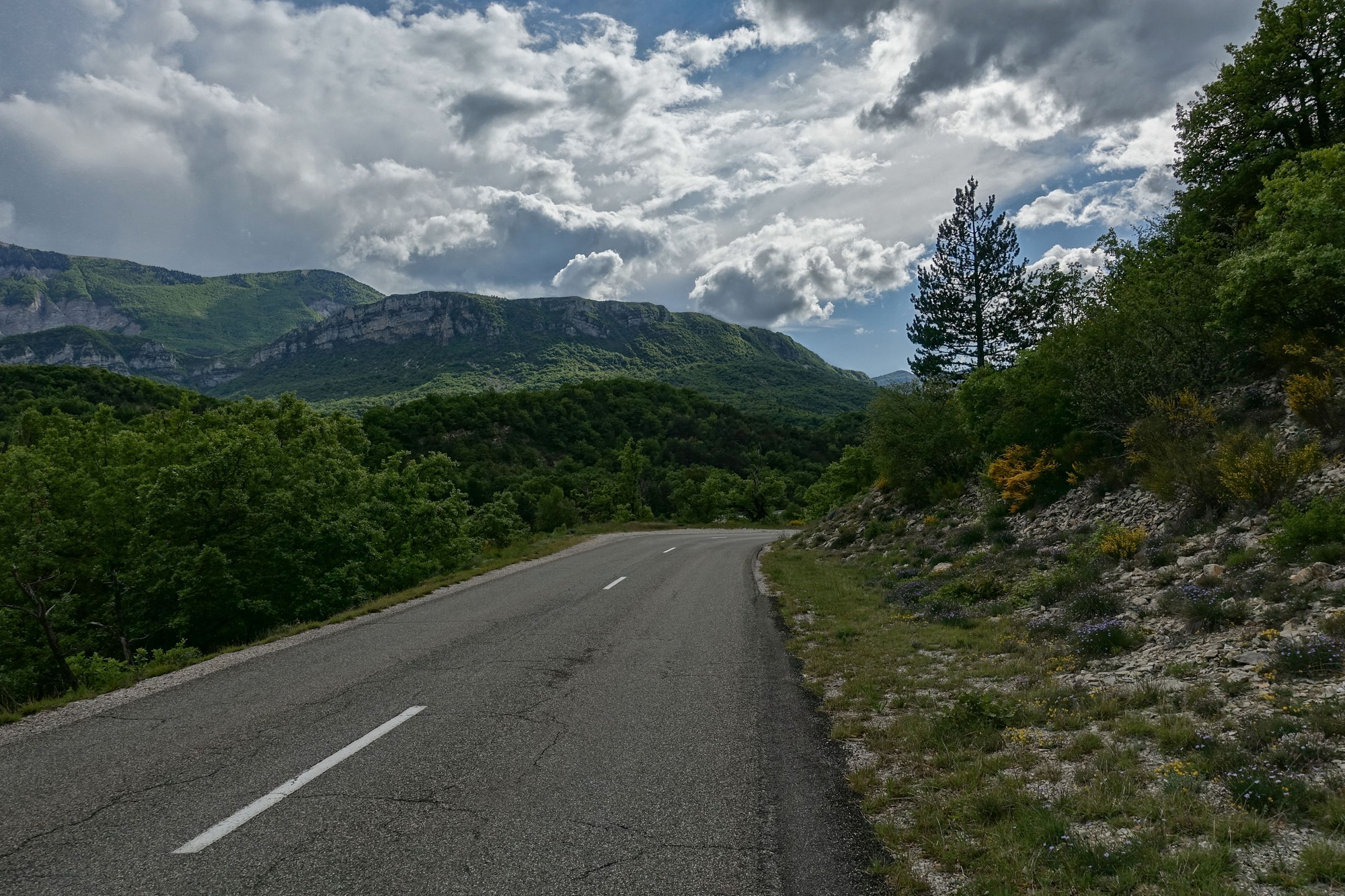
I was seriously running low on energy by now, and the last few miles were a struggle. But I made it back dry, and completely knackered.
Fuel
Gallery
Click to enlarge / see slideshow







Awesome coverage of a glorious time, can’t wait to hear about it *mano a mano* 😀
Cheers Jame. Thanks for your comment. Looking forward to that.
Bonjour Vince, très belle ascension que je n’ai pas encore faite. Je vois que tu es comme moi, tu n’aimes pas les nuages pour les photos ! Mais même avec, tes photos sont très réussies !
Bonjour Joris! Merci pour votre commentaire. Je ne peux pas croire qu’il y a une montagne que tu n’as pas faite ! Toutes les ascensions de ma “bucket list” que vous avez déjà faites. Parpaillon, Mont Vial, Moutière, L’Authion, etc, etc. Et pourtant il y a des similitudes – Sauze, Villeplane, etc. J’ai beaucoup de rattrapage à faire ! Bon courage pour ton vélo. Je te verrai peut-être là-bas un jour !
Hello from Canada Vince. I’m so glad to have to discovered your treasure chest of adventures and look forward to perhaps following in one or two of your tire tracks one day soon. Your photos are spectacular and I wondered if you could tell us what equipment you are using to capture your images? Thanks again for generously sharing your time and talents. Cheers
Martin
Hello Martin. Thank you for your kind comments.
I use a Sony RX100 MkIV compact camera. (Except for selfies – they’re usually taken on my phone). It has a 24-70mm (equiv) lens which gives a nice wide-angle. That’s useful because most of my shots are of landscapes. It also has an excellent pop-up electronic viewfinder which is very useful when taking shots in bright sunlight (when it’s difficult to use the rear screen). I also do post-processing of the images. The most important part of this is cropping. Often when I stop on my bike for a photo, I just point the camera in the general direction of the amazing view, make some general checks (focus, exposure (no sky blow-out)), take the shot and then get on with my ride, all the time knowing I’ll crop the image for a better composition afterwards.
When photographing a scene where there is a huge difference in brightness levels, I’ll take 2 shots, one exposed for the sky and one for the dark bits (tunnels, etc), then combine the two in Photoshop afterwards.
I hope you do get to ride some of the wonderful roads I’ve covered, and equally I’m sure you must have some amazing roads in Canada. Wherever you ride, good luck and keep the rubber side down!
Cheers
Vince