Distance: 30.9 miles. Elevation: 3583 ft.
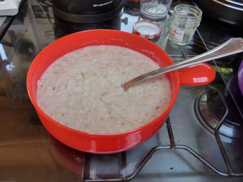
After fueling myself with porridge, I left at 12:06 for this ride into the hills north of Puget Théniers, over Col de Saint Léger and back along the Var valley.
12:48
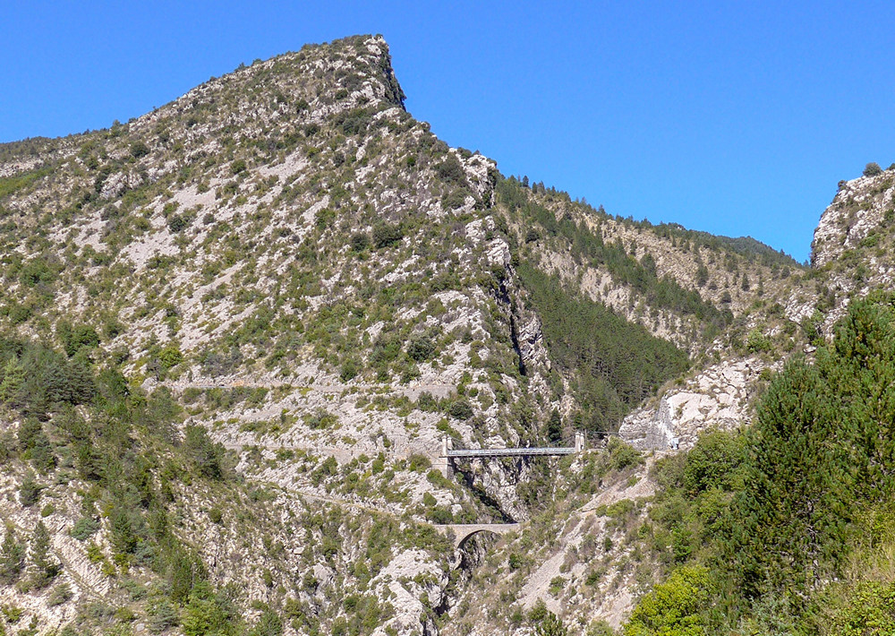
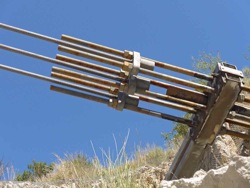
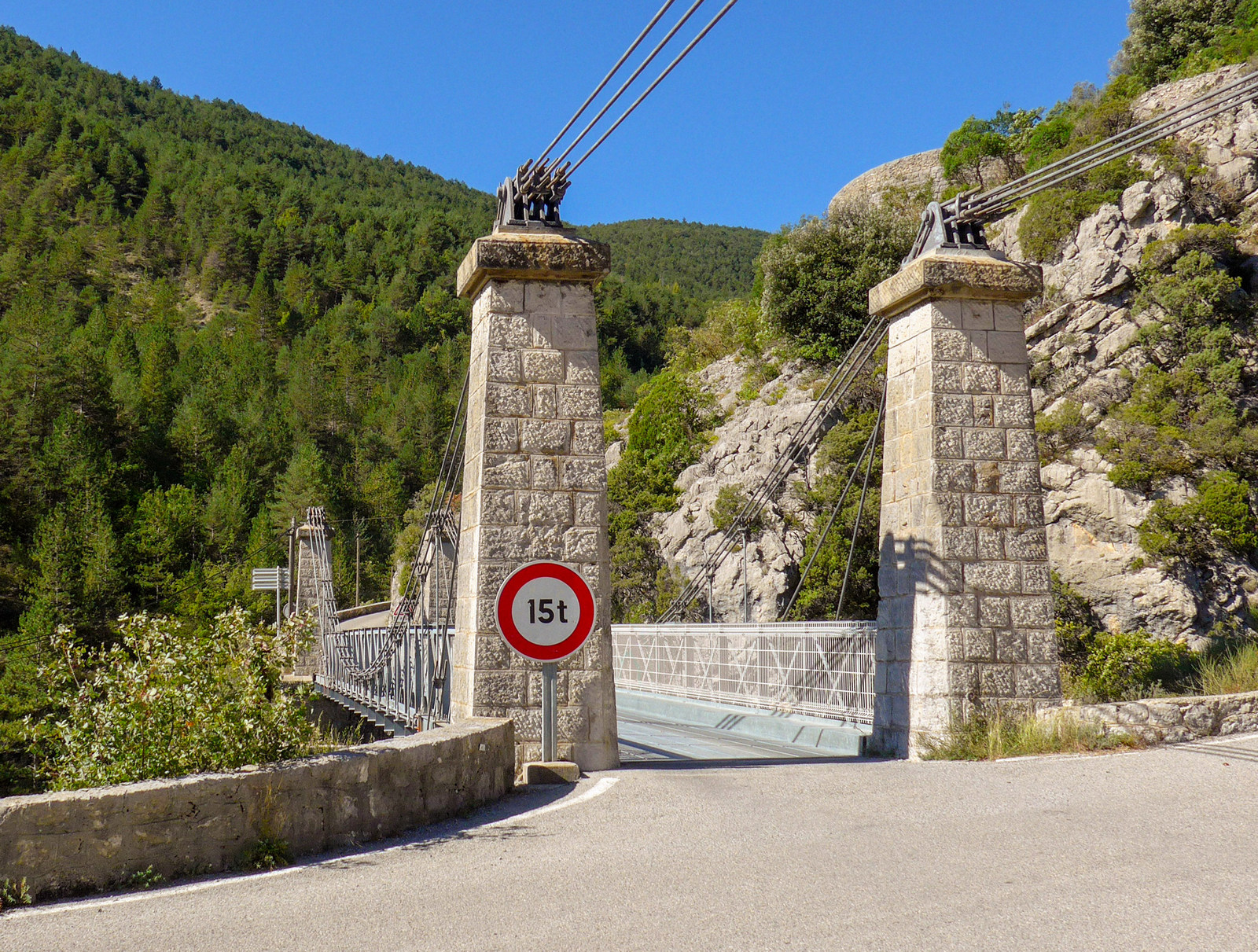
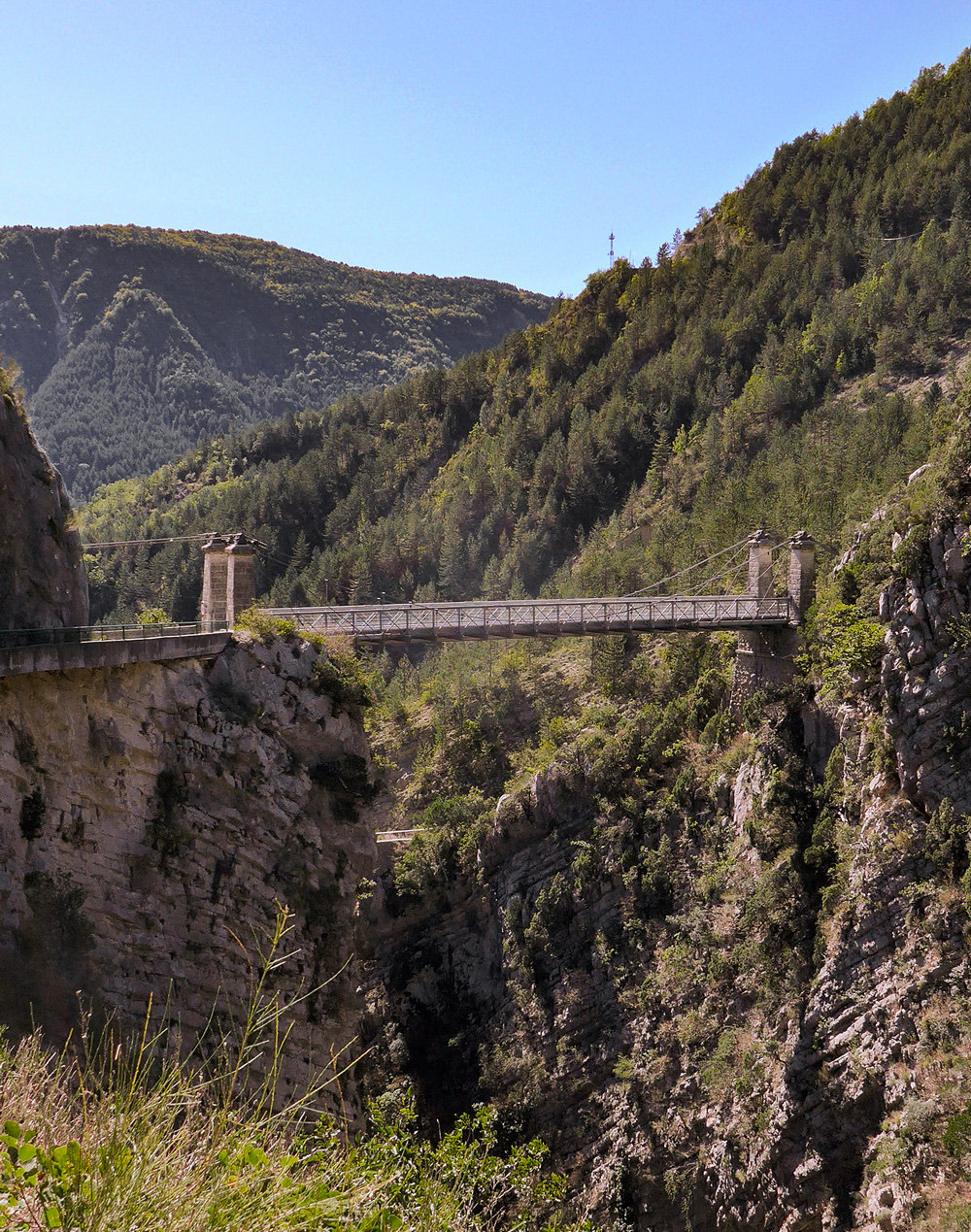
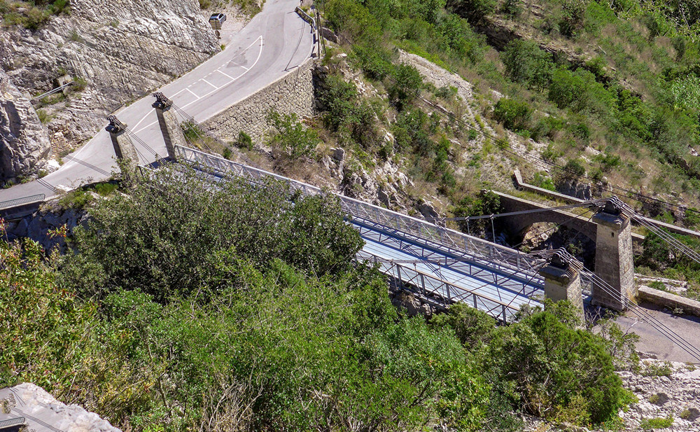
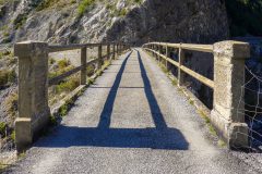
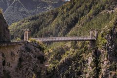
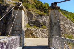
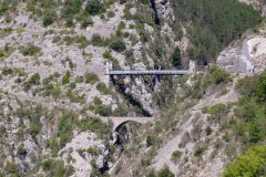
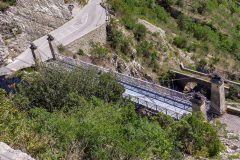
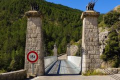
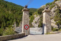
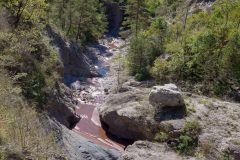
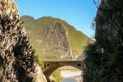
So it’s time for the first report. And it seems an apt moment because at 3.8 miles I’ve reached the part of the route where I turn off and climb to Léouvé and then return to here before resuming the route. And at this point there is also a lovely suspension bridge. Up to now I’ve been following a beautiful gorge.
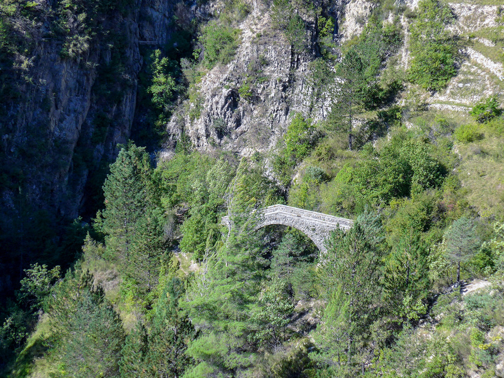
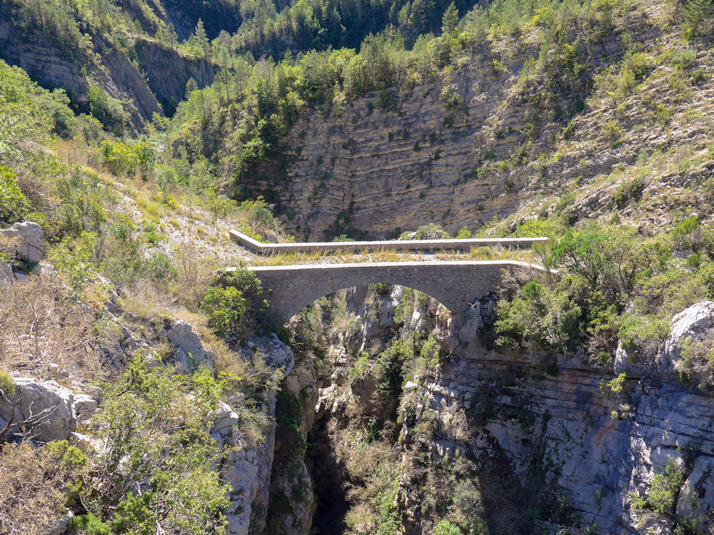
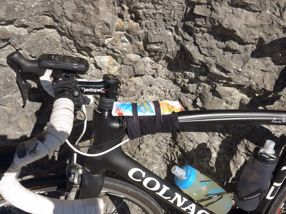
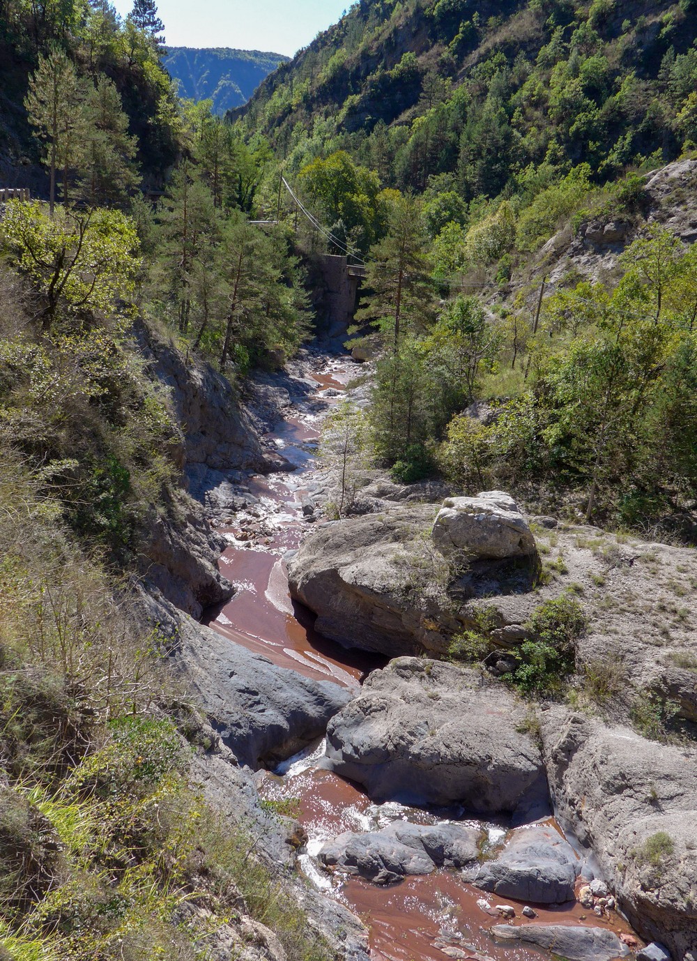
In fact the ravine below that bridge, carved by the Roudoule river, is so deep it’s almost not worth trying to take a picture of. Progress has been slow so far because of stopping for photos often. I’m wearing my black MSTina kit and it’s woefully short on pockets so I’ve had to strap my energy gels to my bike and cut out some of the things that I very rarely use and leave them in the van.
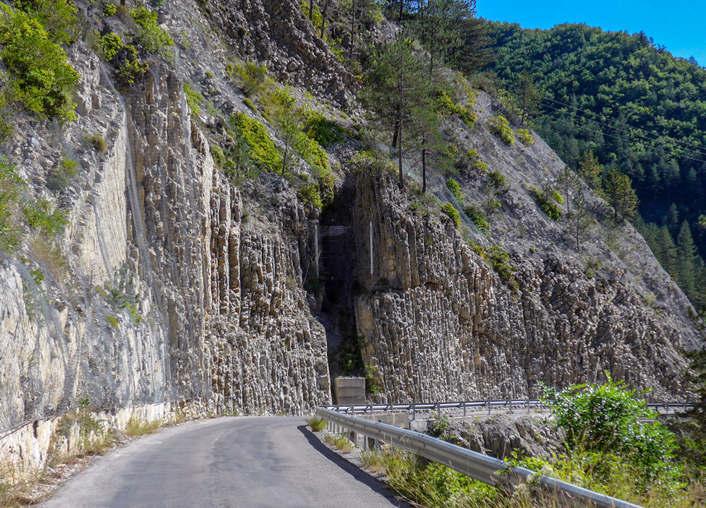
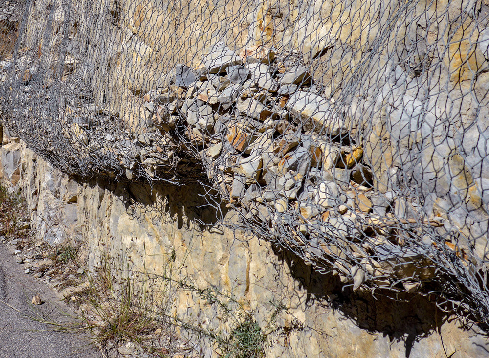
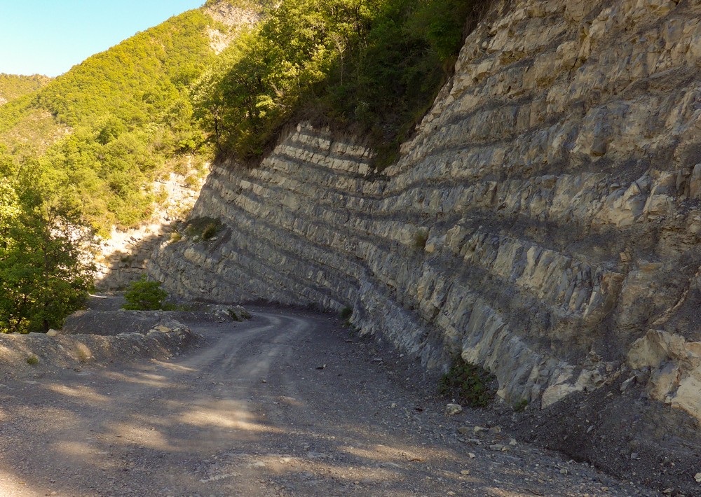
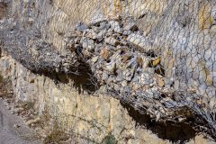
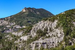
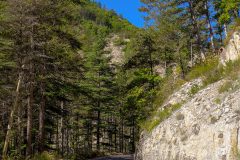
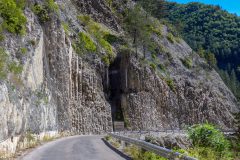
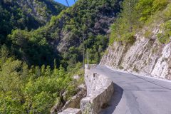
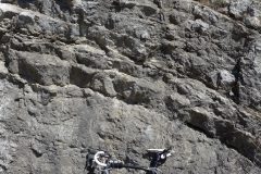
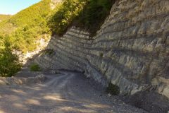
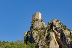
The rocks round here seem extremely fragile. There are nearly always rocks by the side of the road. I’ve seen some netting that has caught quite a few big ones
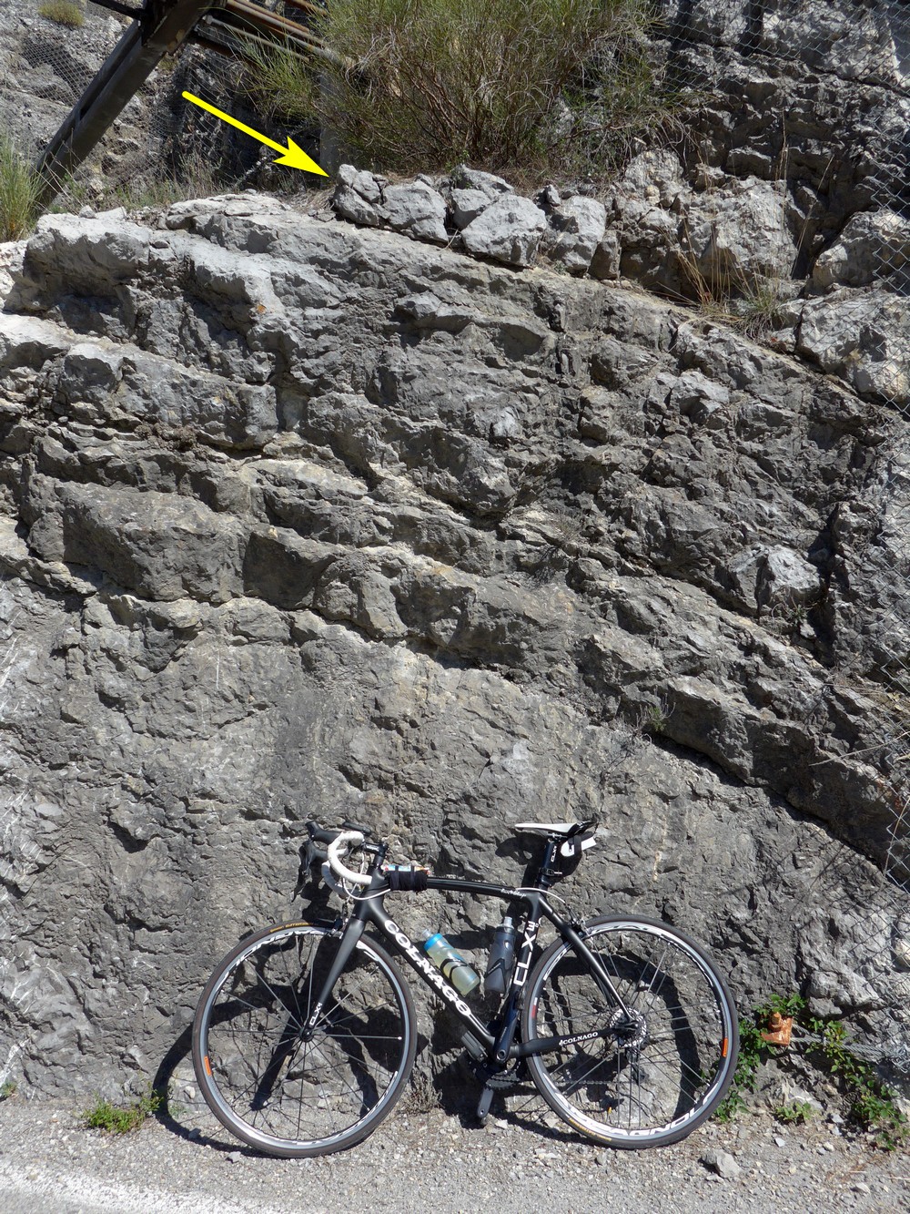
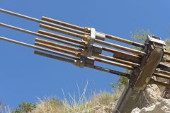
I don’t know what sort of rock it is but it looks like it’s all just falling apart, almost as if you could just grab any chunk of it with your hand and pull it out. Just as I’m saying that, I look up behind me and see a couple of rocks which look like they’re just literally ready to fall at any minute, so I quickly get a photo.
It’s very warm and sunny but not ridiculously hot like it was in the heatwave back in July. In fact the wind is quite refreshing and in the shade it’s a bit cool if anything.
13:02
A quick addendum about a mile from the last place. As I’m cycling along, lizards are always either running across the road or scuttling around in the undergrowth next to me and the other thing about all French rides is butterflies – loads of them! Very rarely is there not a butterfly around.
I thought it was quite amusing that, when I stopped this time, the first thing I did when I parked my bike was to look up above where I’m standing to see if there were any imminent rock falls likely!
All along this road to my left I can hear the sound of flowing water and at one point there was a waterfall to my right and to my left, so presumably it flowed under the road.
13:30
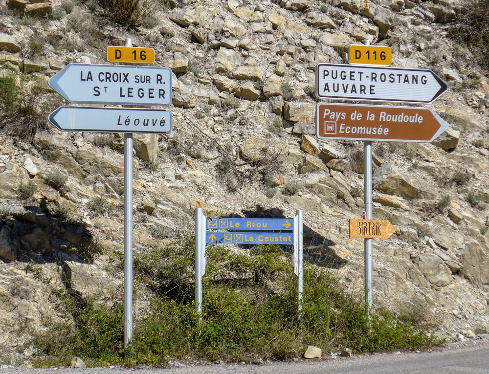
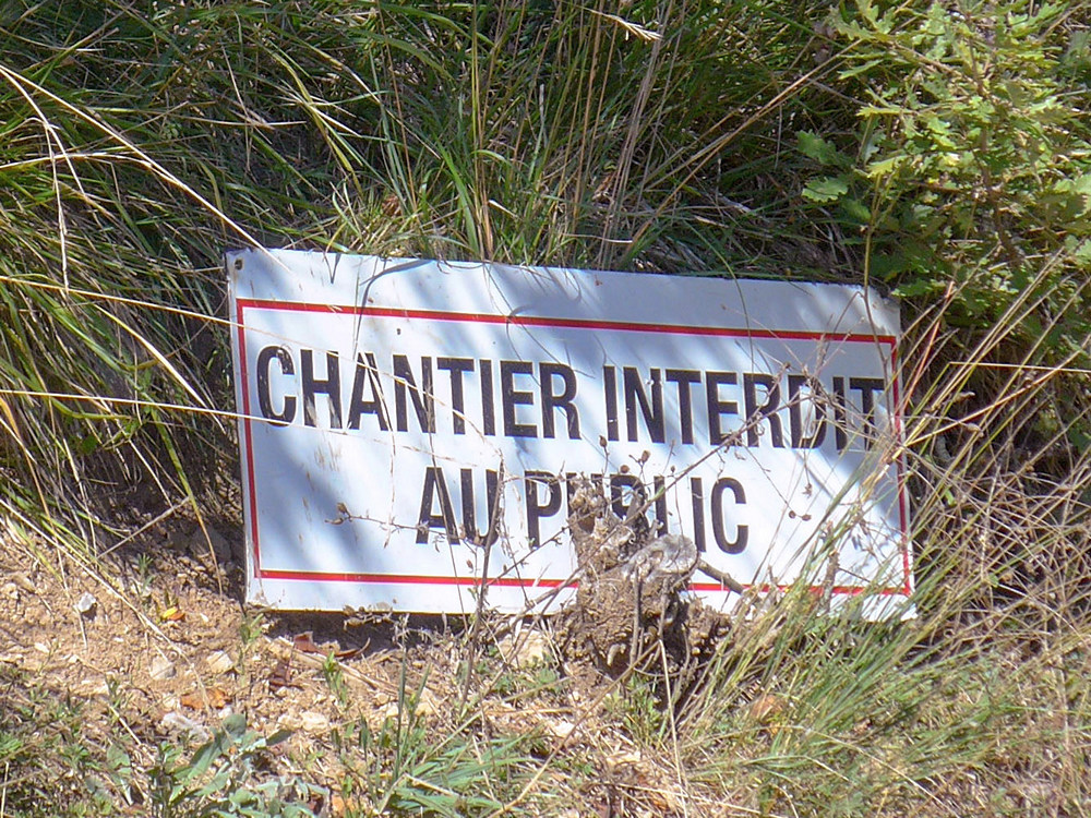
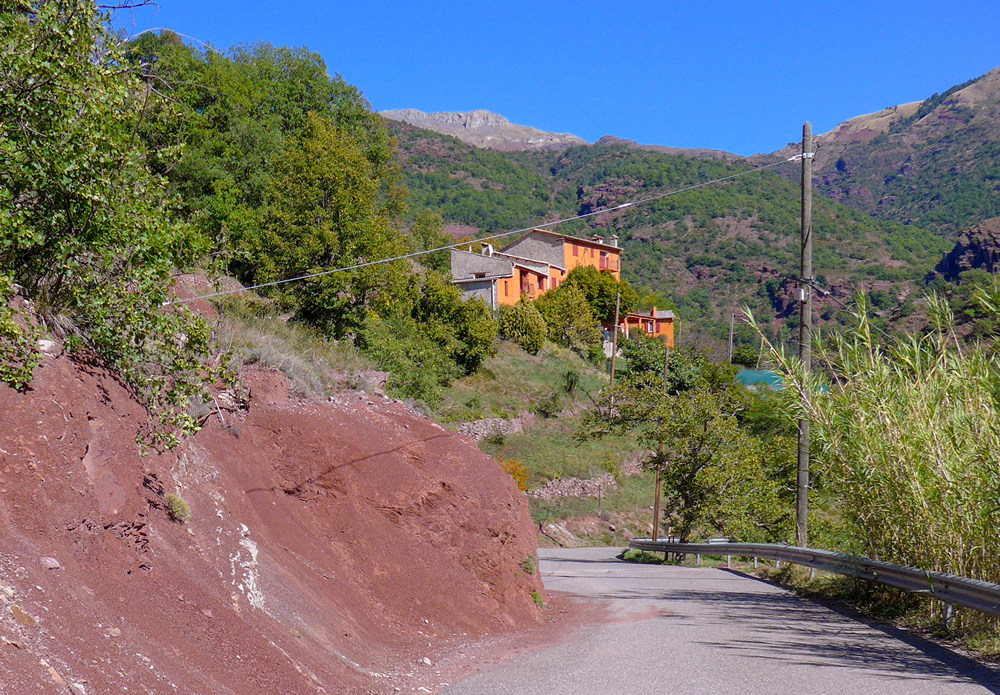
This report coming from the top of the first climb, at Léouvé. My intention was to just go up as far as I could and then turn around when I ran out of road. It started as a fairly gentle climb maybe 6 or 7% I guess. It got worse and worse up to about 9 or 10 and a little short ramps at least 16 or 17 because it was just like Barn Hill. Anyway, I got to the point where my Garmin route stopped but the road was still going on, so I thought I’d just go up as far as I could, especially tempted by a sign pointing to a col. However, I was soon put off that target when I subsequently passed another sign pointing to the col going up a steep track, so I obviously wasn’t going to go up there. I went as far as I could until I saw a sign that warned of no access to the public.
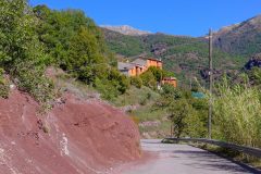
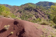
After getting some photos I turned around and I’m now on my way back down. There is lots of red rock around here or something and there’s a mining museum so I’m guessing that whatever they were mining is connected with the red rocks. I’m no geologist..
By the way, I forgot to mention earlier, I’m fully aware that a section of this route at the end of a descent from Saint Léger is definitely gravel because I’ve read about it, but other riders have said even if you walk through it, it’s still a good route to go because most of it is tarmac.
14:47
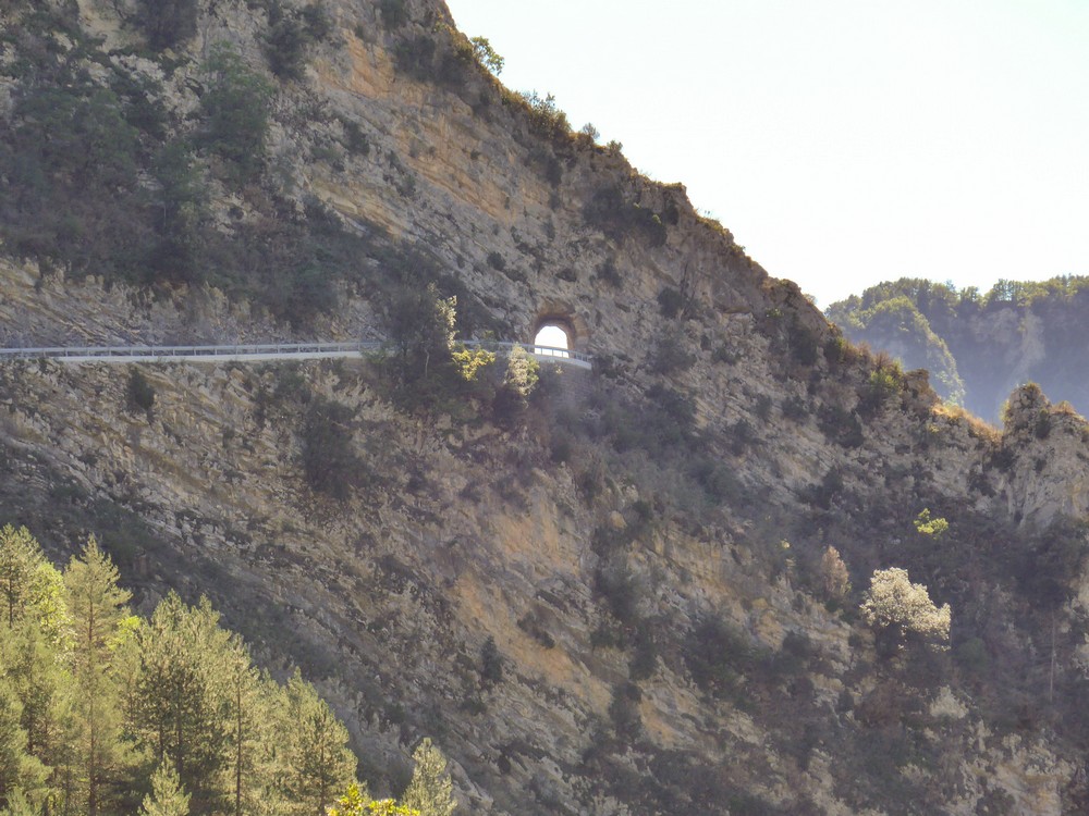
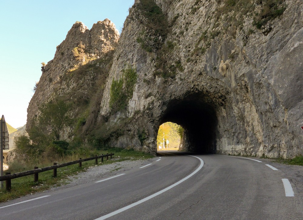
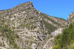
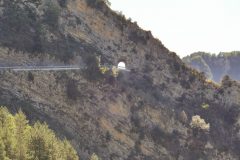
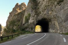
Just after that last report I descended from Léouvré and again went past the sign to La Croix, and again I thought that might be a short ride up there one day. Just after that, I looked up and saw a small tunnel, hundreds of feet up in the rocks – it looks amazing and I can only guess that that’s where that road to La Croix goes.
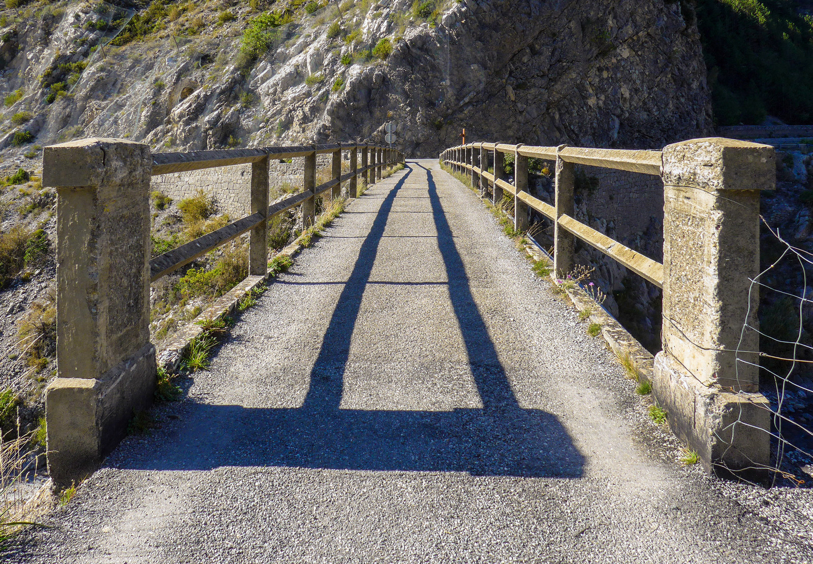
I had a banana in preparation for the rest of the climb ahead of me. I rode over the suspension bridge managing to stay on just one of those metal plates all the way across, to save finding out what happened if I went between them. [at the time of writing the blog, I can’t work out what I said next. My phone translated to “Since then the road as crying landline inclined as expected it to mine x y you to Saint Léger”] God knows what I said, but I’ll leave it in for completeness.
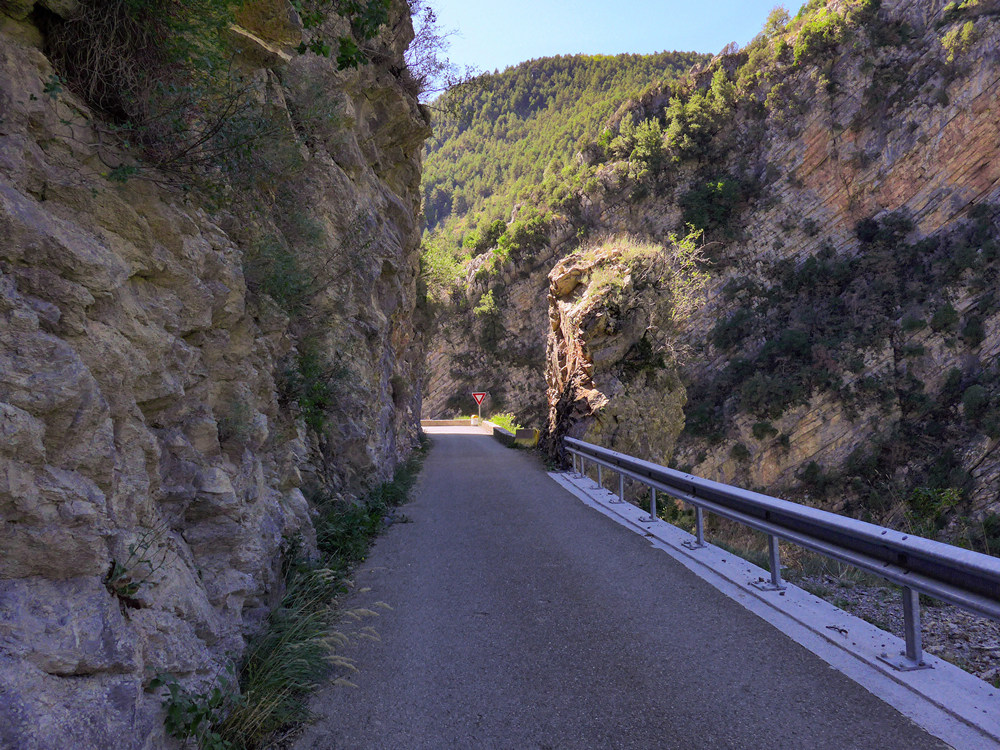
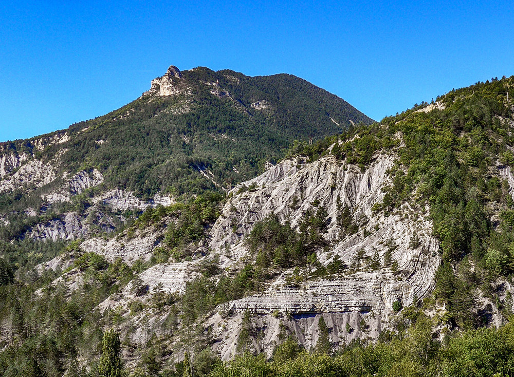
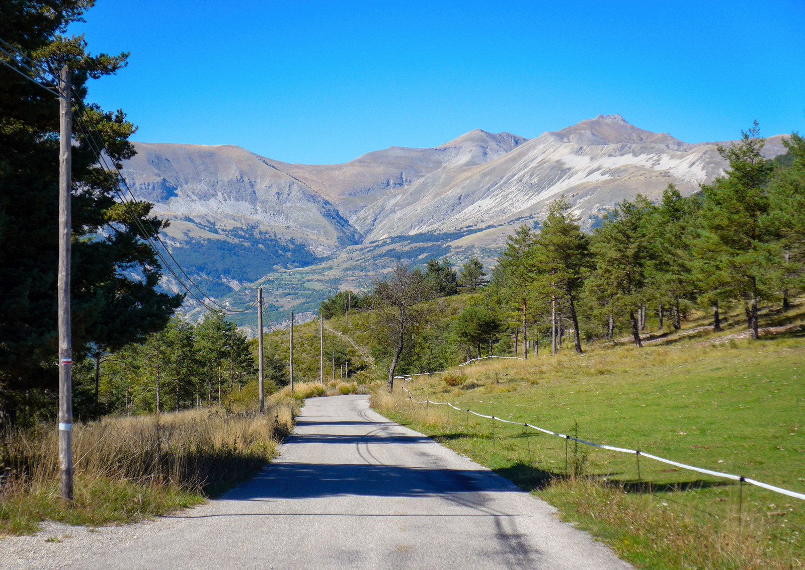
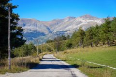
I had one energy gel mid-way up. Eventually, there were sure signs I was approaching some sort of pass or col, because the wind picked up and the hill levels each side of me were dropping and there seemed to be a gap with sky in it in the middle – that’s usually a sign the road is reaching the top of a pass between two hills. Anyway, even though I thought I was nearly there I took my second energy gel because I wasn’t anticipating needing it later. The climb has come to an end and I’m on a flat bit, so I don’t know if there’s any more climbing to be done – hopefully not and we’ll see what happens next.
15:02
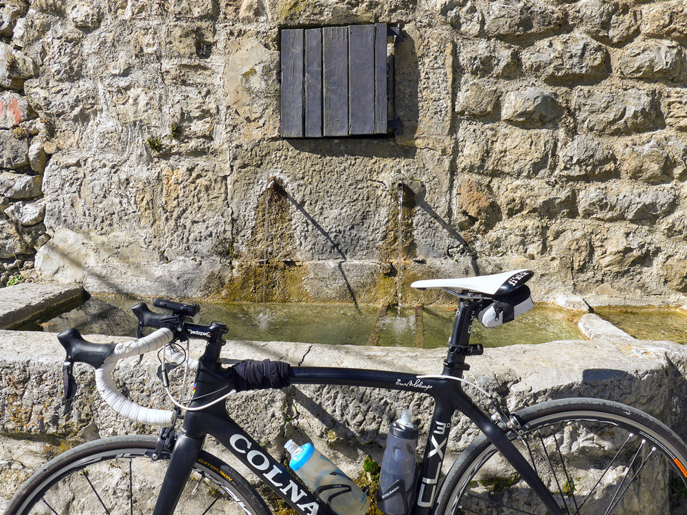
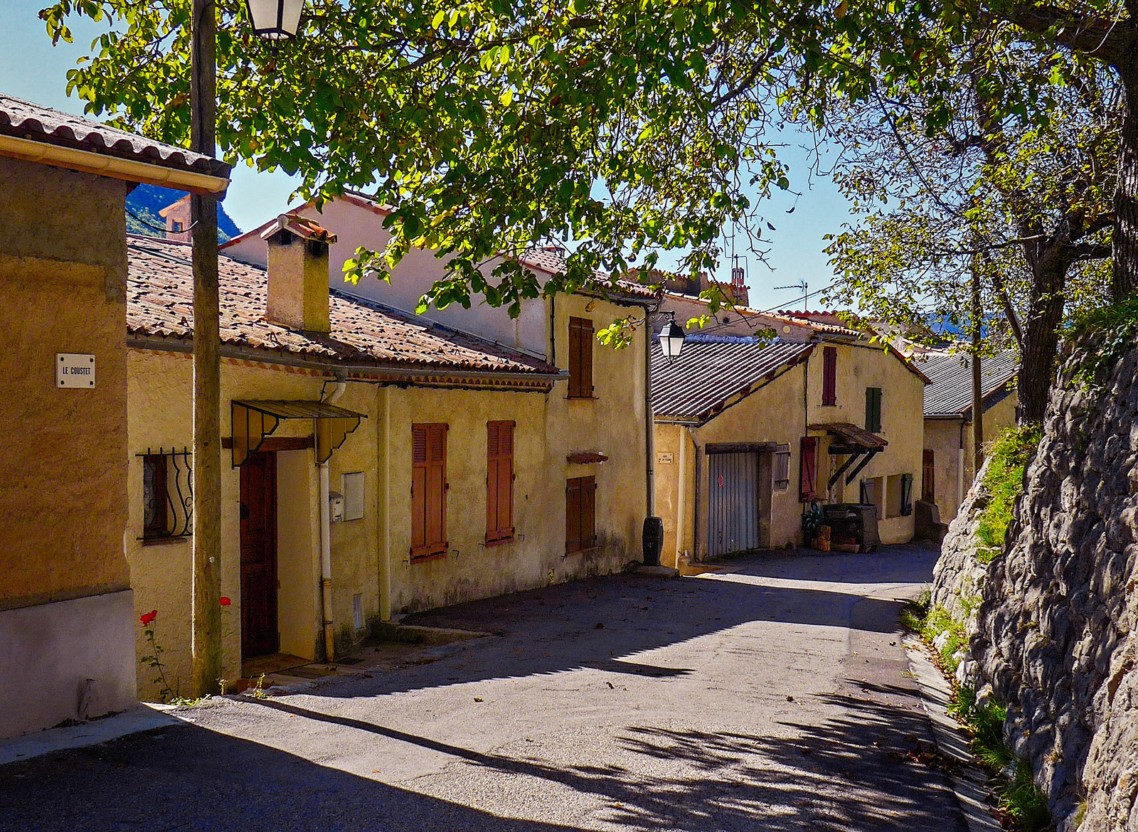
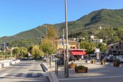
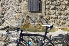
A quick update since the last one. I’ve come into St Leger and saw a water fountain but I didn’t really trust it to be ‘potable’. So I rode a bit further and saw a much more likely looking candidate.
Luckily a local person was just driving past in a car and I managed to ask them if it was drinkable and they confirmed it was.
And just as I’m standing by the water fountain, the local church bell chimes three times for 3 and then another three times about a minute later. I always seem to get places exactly on the hour – strange.
15:29
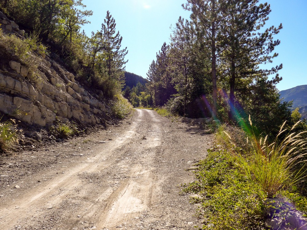
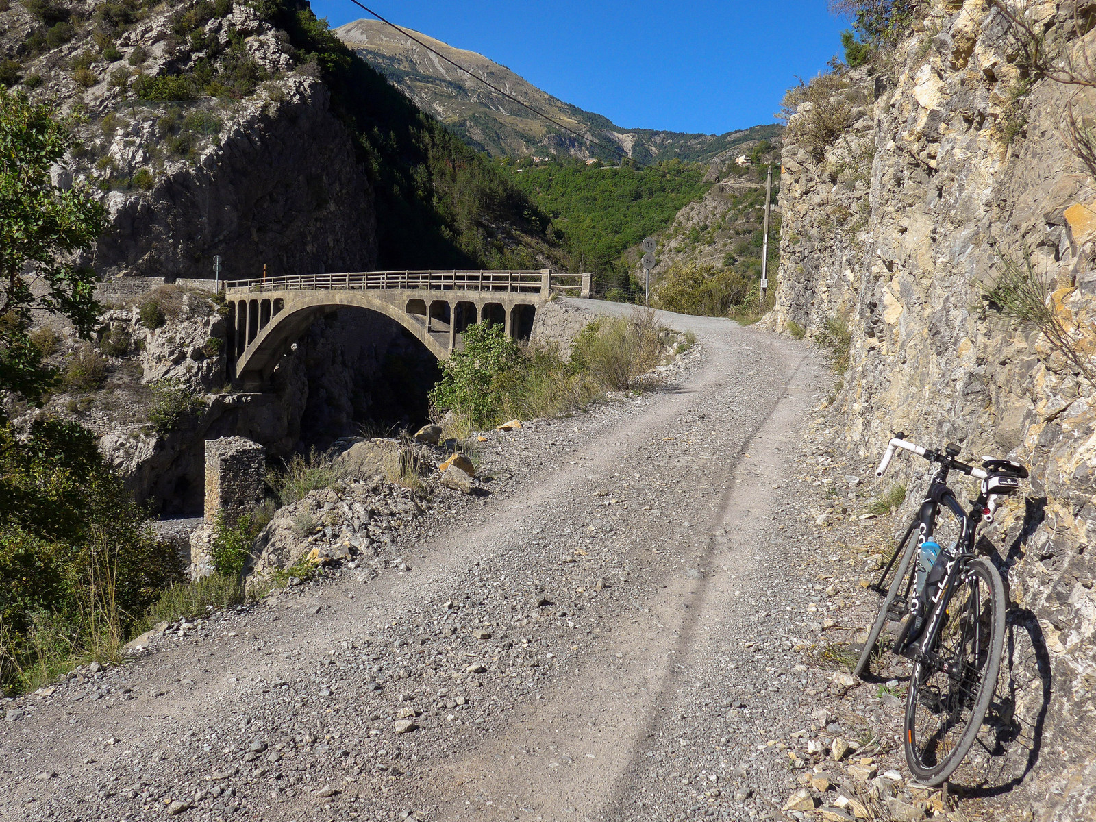
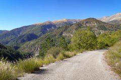
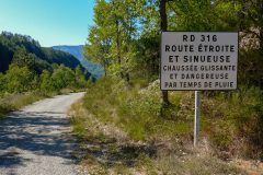
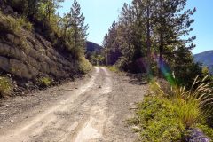
I’ve reached that section where the road becomes un-surfaced. Up until here it was not a bad road. There was some gravel on it but in general it was ok.
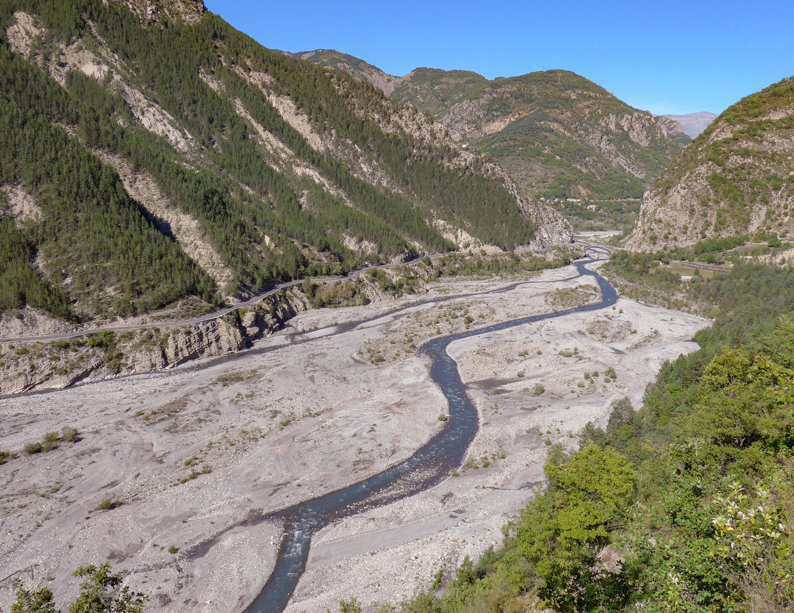
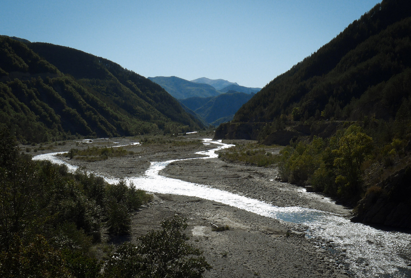
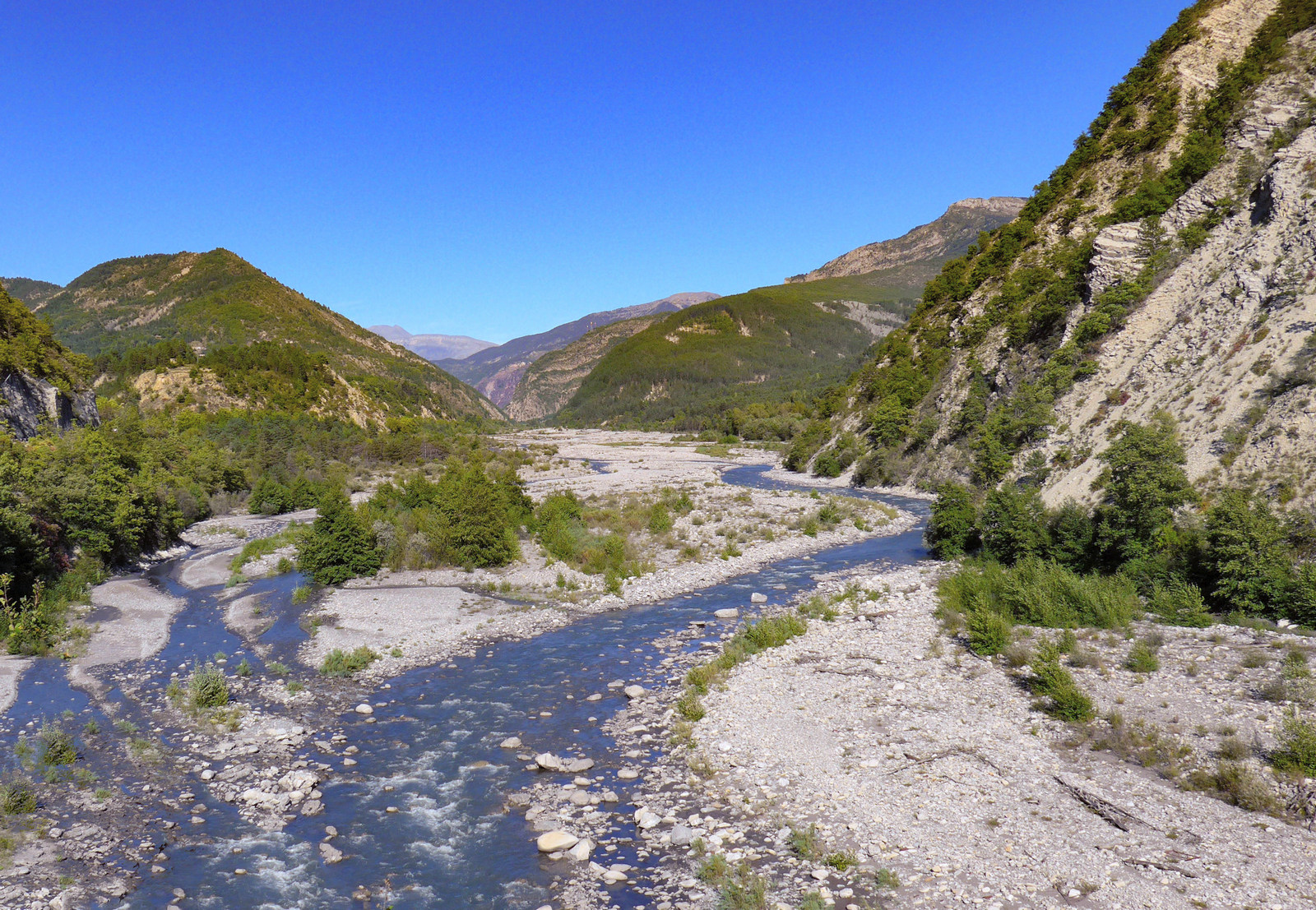
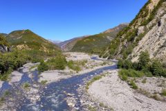
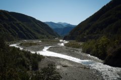
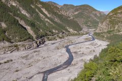
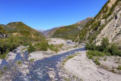
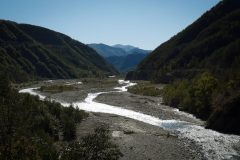
But just where I’ve reached this section I look over to the left and I can see the main road on the other side of the wide stony bed of the river Var. And the bridge in the distance is presumably where I’m heading.
16:02
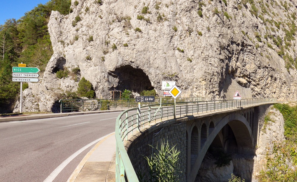
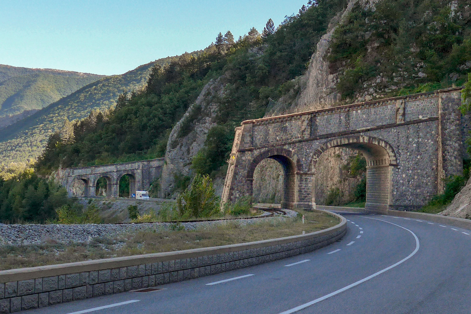
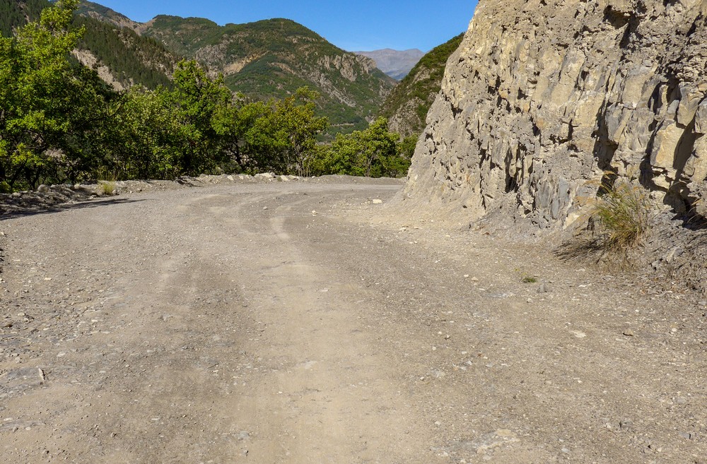
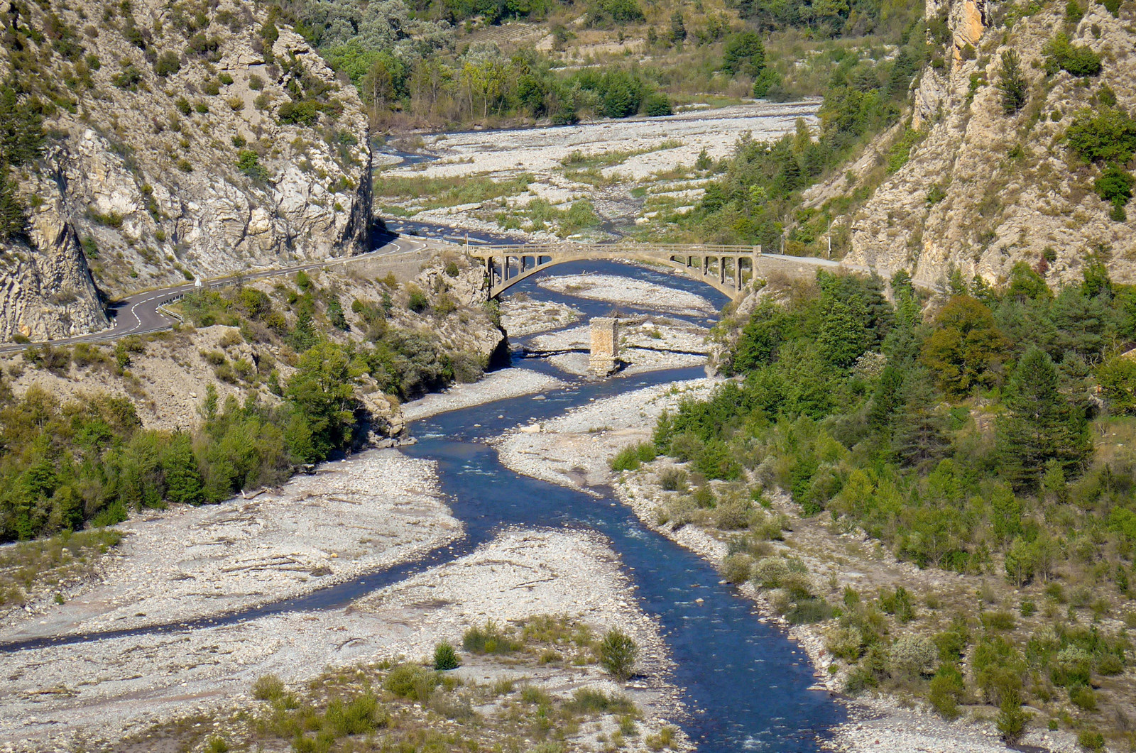
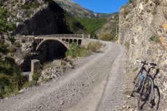
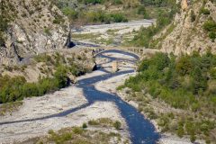
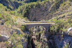
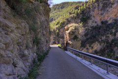
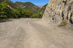
Report coming from midway down the gorge road. Since the last report I rode nearly all the way on the rough gravely road. Most of it was compacted so quite easy to ride on – well, I say ‘ride’ but all you’re really doing is hanging on for grim death with your hands on the brakes trying to pick the best line between the boulders. But it’s much better to do that than to walk on that surface with cleats. Eventually I reached an old bridge, steel reinforced concrete.
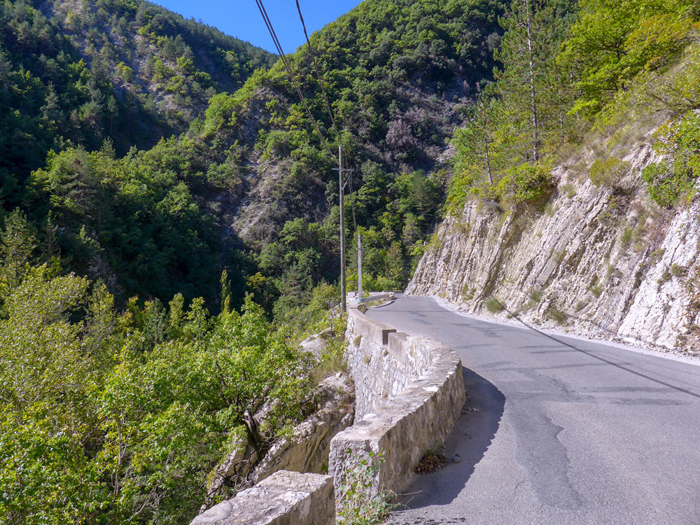
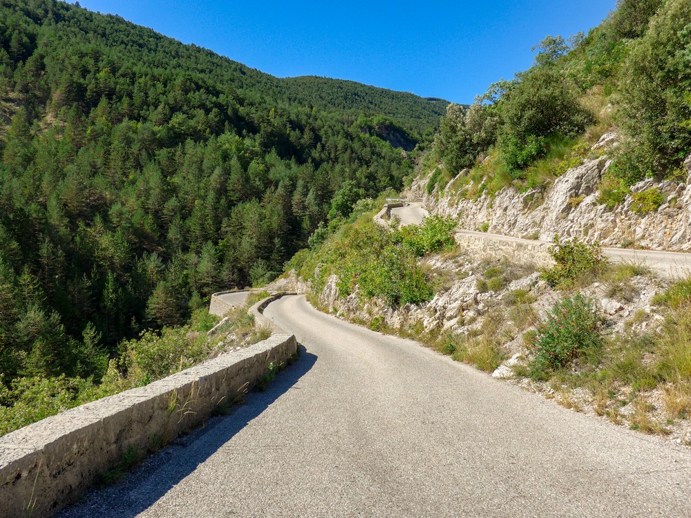
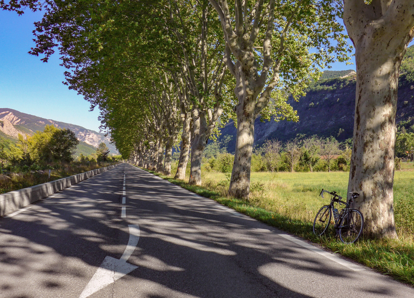
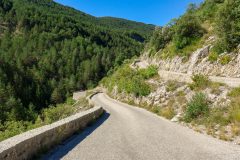
The road along the side of the river Var is excellent – sweeping bends, beautiful surface – it must be great to drive it in a car even. And there’s hardly any traffic, so it’s great and it’s downhill slightly for me. There’s a bit of a head wind but the sun is blazing down and what more would you need?
17:26
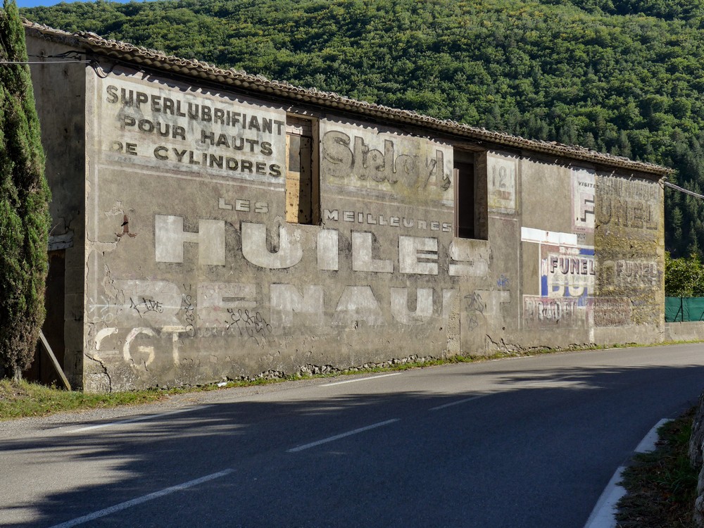
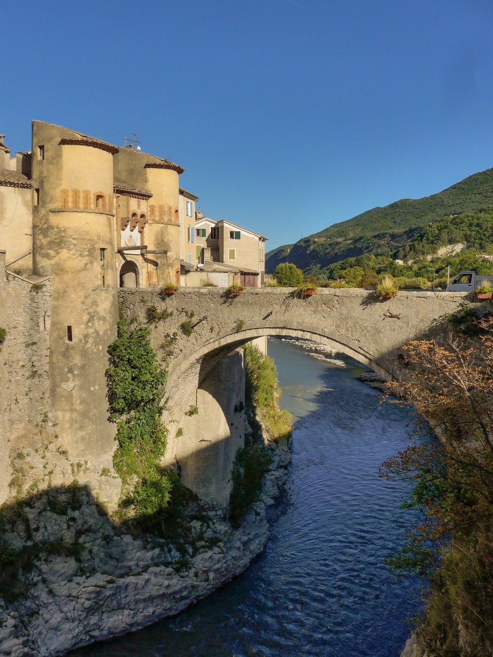
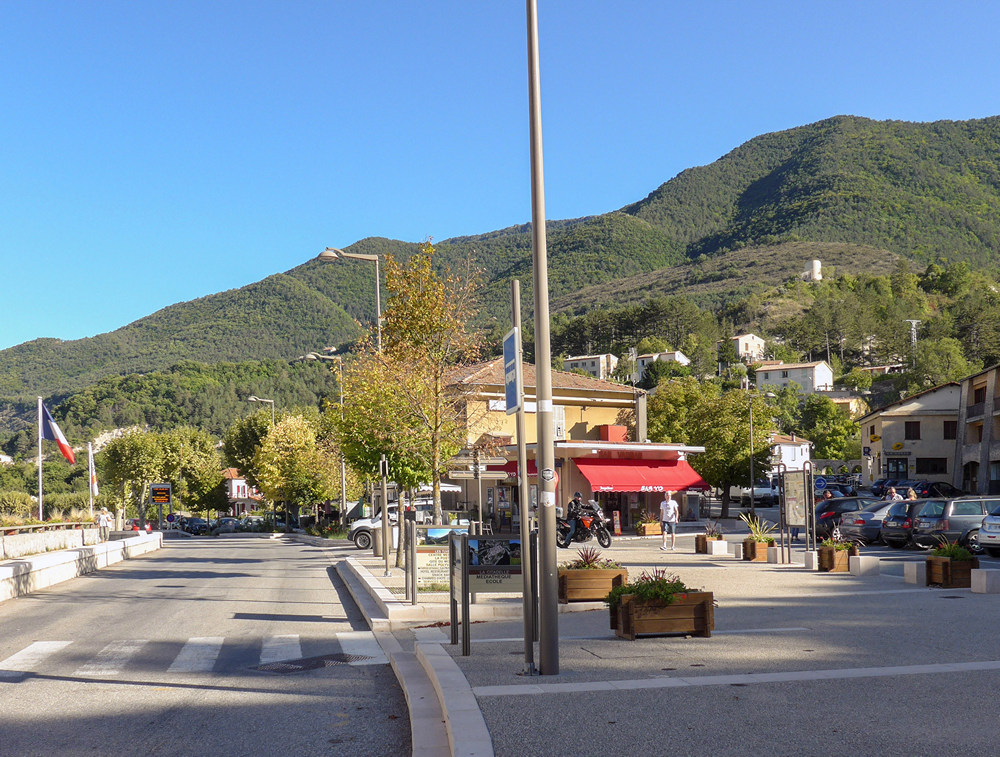
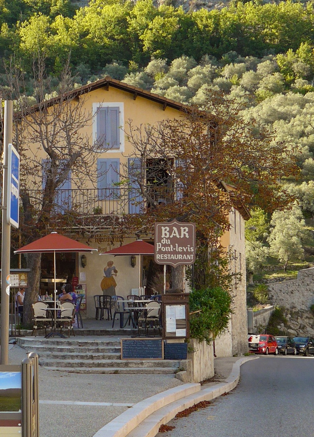
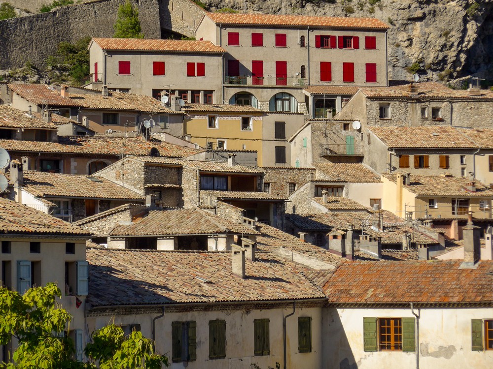
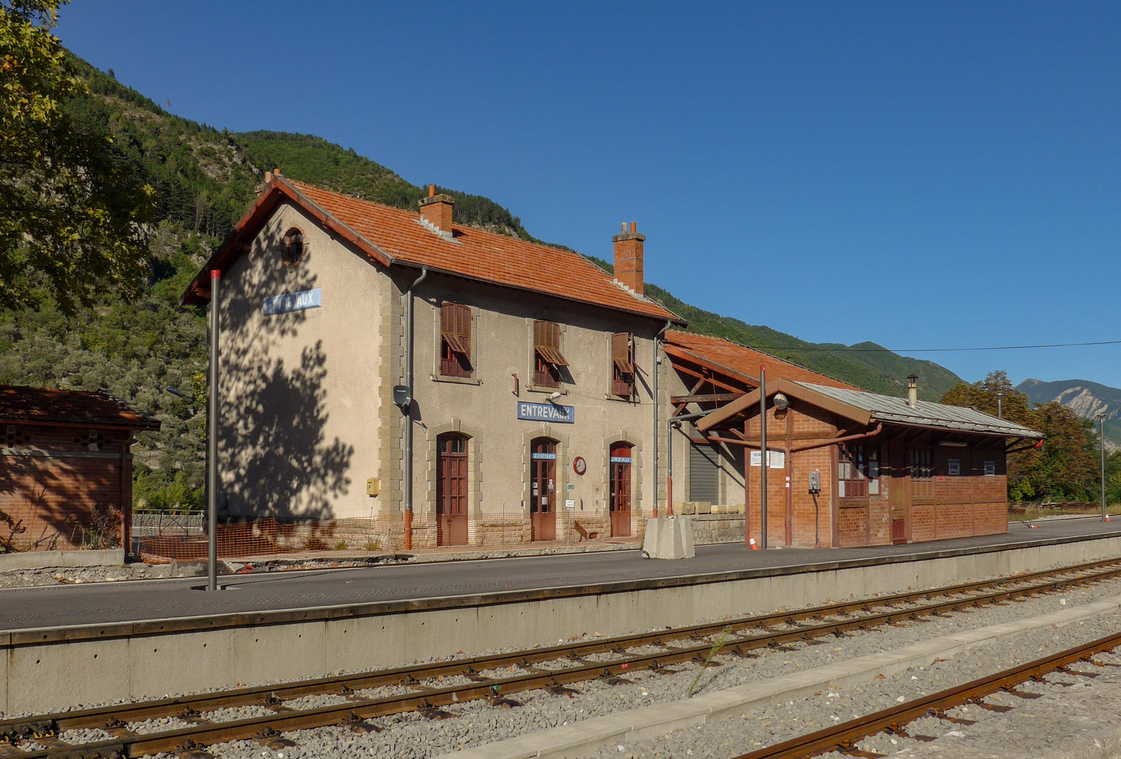
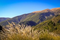
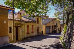
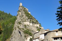
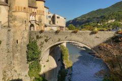
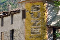
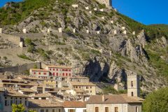
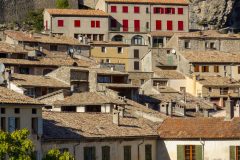
Days of cycling don’t come much better than that. After the last report the road wound down across a bridge and then ultimately into Entrevaux. And I just couldn’t get out of that place – every 10 metres was a different view to take a photo of.
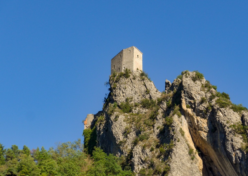
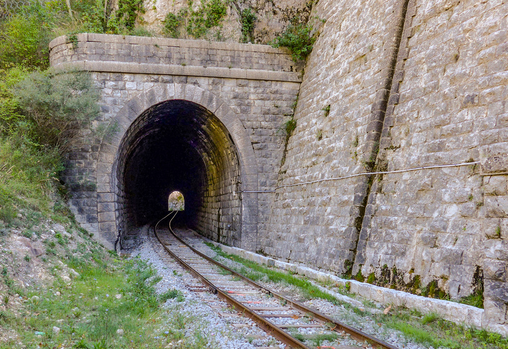
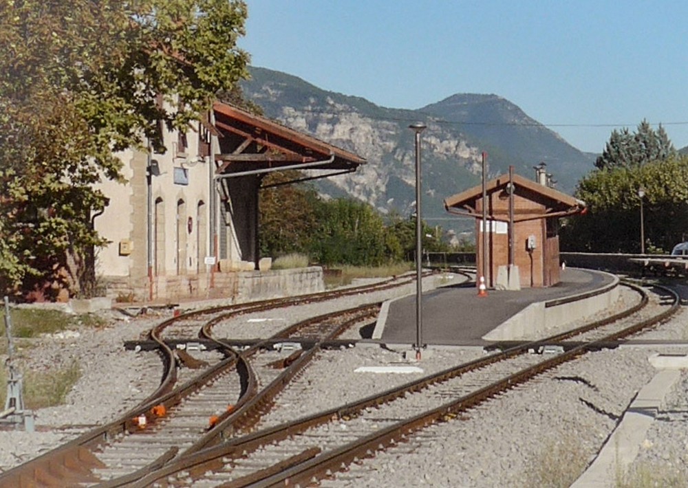
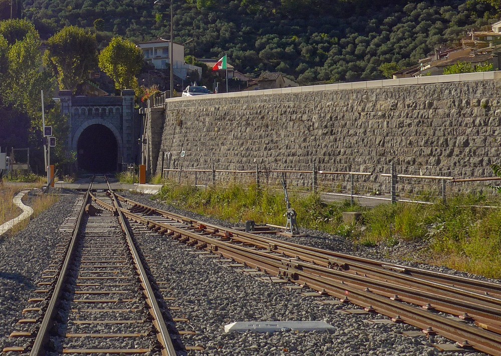
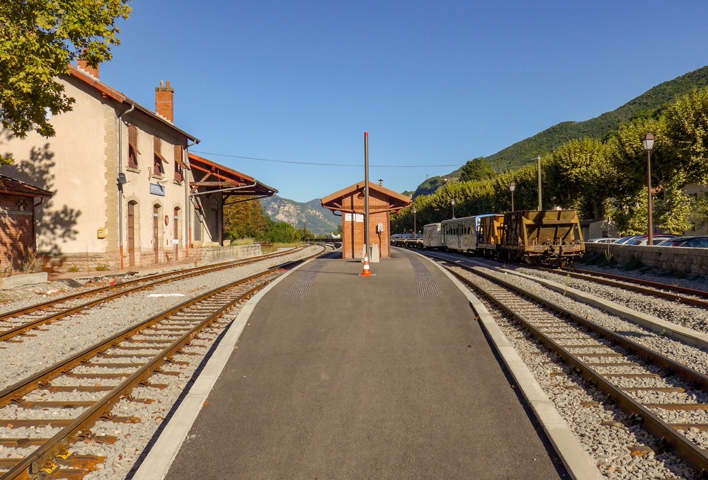
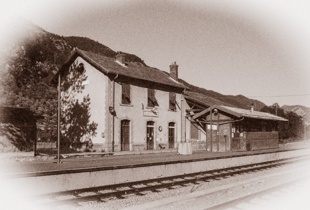
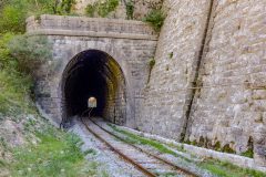
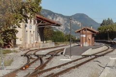
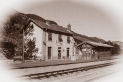
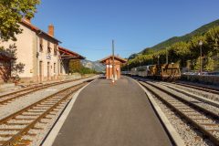
Then there was the the railway station, looking very similar to the old model railway I used to have.
The weather has been ideal. I don’t know what the temperature was – mid to high 20s I guess. And sometimes a breeze. It sometimes got too hot on the exposed climbs. And sometimes chilly in the shade. But really I couldn’t pick a better temperature and the sun was shining all day – not a cloud in the sky all day long.
Perfect.
Gallery
Click on the first image to view gallery / slideshow



















You are getting closer to the area where I spent time when I was 23. So beautiful!
Where was that? I have since been further east (posts coming soon) but now back at Entrevaux.
Hey – I was in a little village called Claviers (piano!), near Draguinan. So not really close, but you are inching towards it! 🙂
Looks beautiful, but it all does round here!