Distance: 120.1 miles. Elevation: 5960 ft
For a while now I have had a hankering to explore the East side of Kent. It all started a few years ago when I drove back from Ramsgate taking the scenic route. That area between Canterbury and Deal seemed a whole lot different to what I am used to. It’s less populated and has more wide-open vistas I think so it feels like you are away from it all. This desire was fuelled also by my last ride, which sort of went that way.
So I designed a route that headed straight for that area and then made its way back along the coast. It included some off-road sections – a necessity if I wanted to keep to the shoreline. I realised I could ‘pop-in’ on Samphire Hoe. I had been there once before as a place to have lunch on my way back from Dover. I was fascinated by the steep tunnel and thought it would be a wheeze cycling through it. I briefly considered extending the route all the way to Rye, in a similar vein to the 200k ride I did back in July, but I thought better of it and decided that Dymchurch was where I would head back inland towards home.
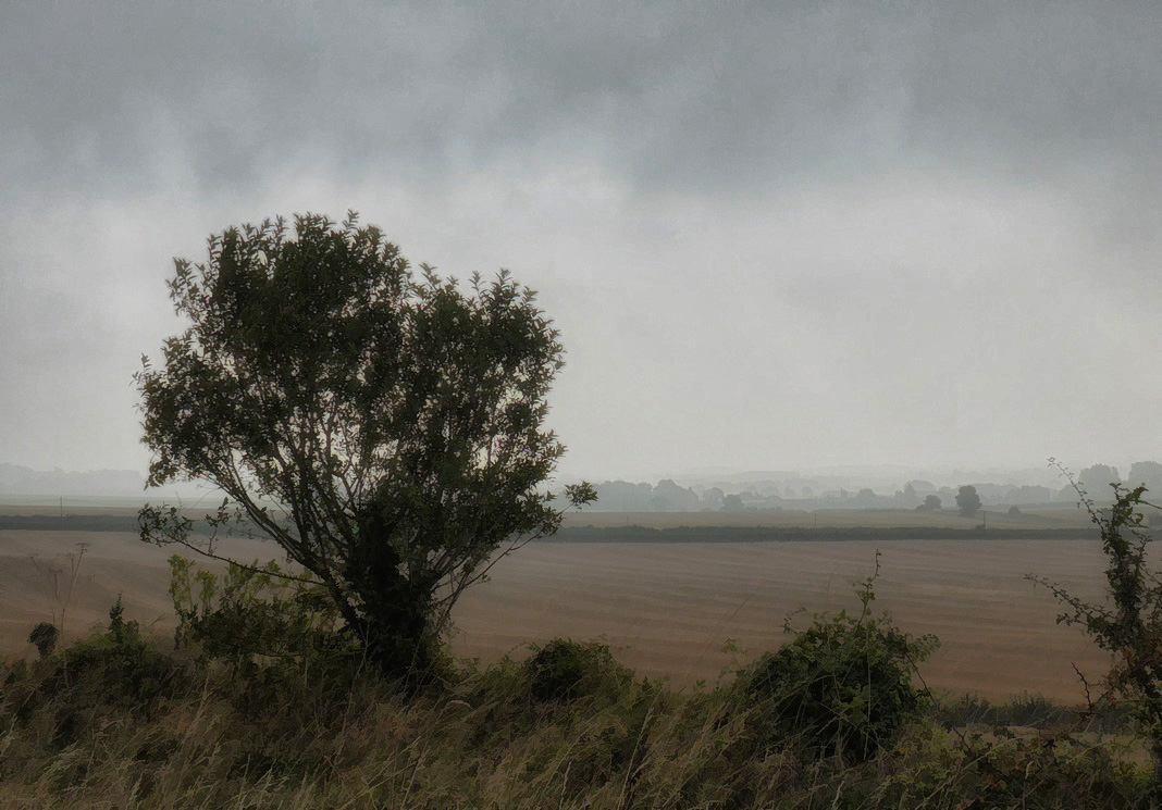
It was a dull, grey, misty morning, but that didn’t worry me as I was sure the sun would break through. It wasn’t too cold but I wore arm-warmers. I set off at 8:15 to make sure I got back a decent time.
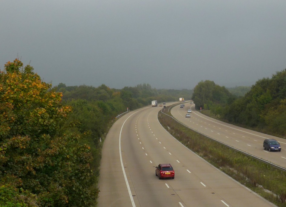
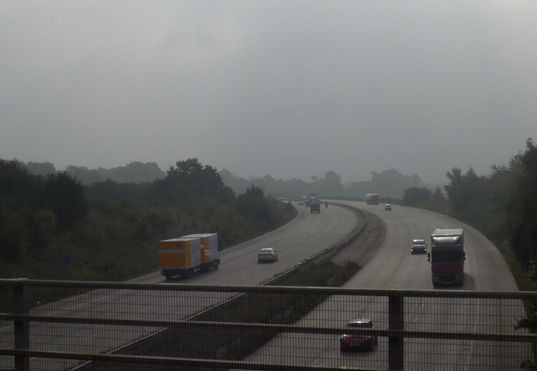
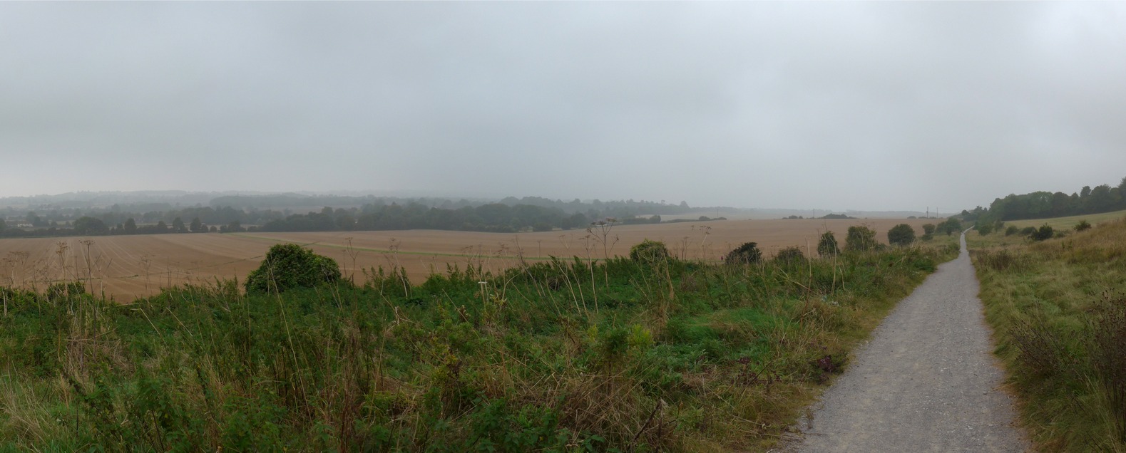
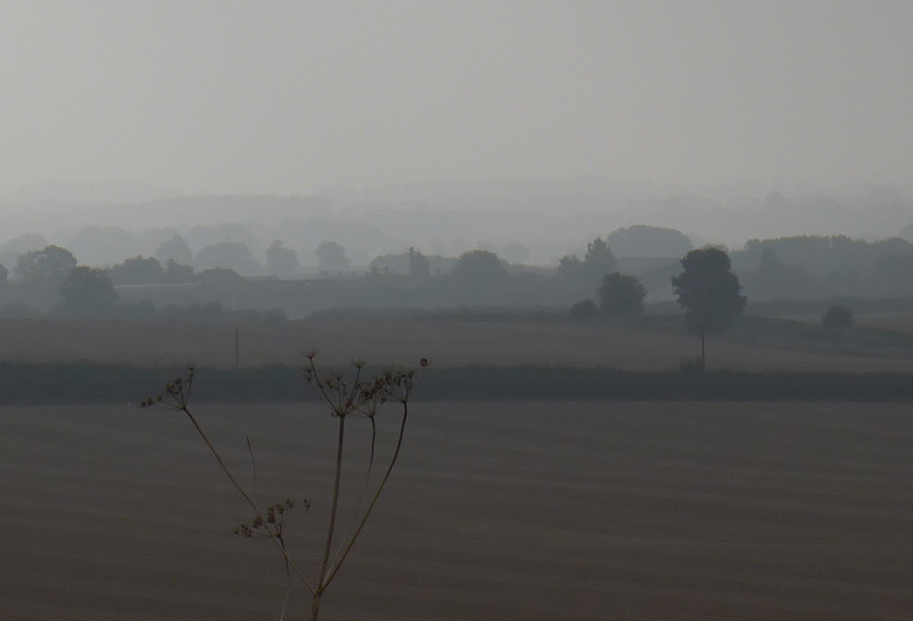
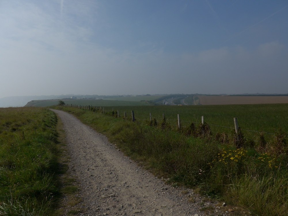
The first part of the ride, out towards Lenham, was quite familiar to me. That was until my Garmin steered me off-road. It turned out to be about a mile of nice path that ran parallel to the A20 with lovely misty views towards the Vale of Kent.
Out beyond Canterbury the scenery began to open out and I started seeing those open vistas I mentioned.
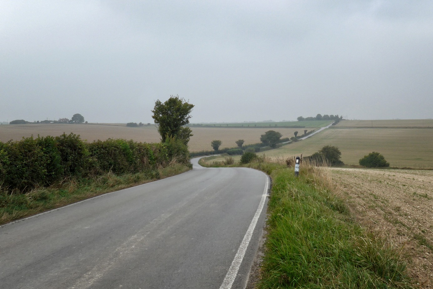
The roads out to Deal were beautiful with great scenery. As you get further east the fields get bigger and you can often look over vast distances without seeing houses, etc. I love that feeling of really being away from it all.

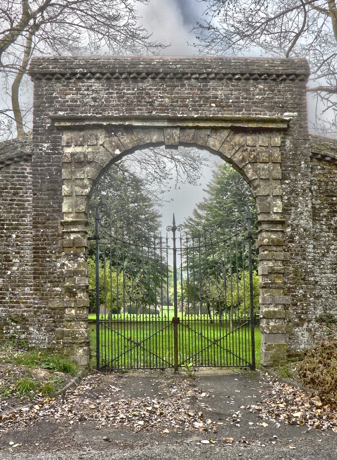
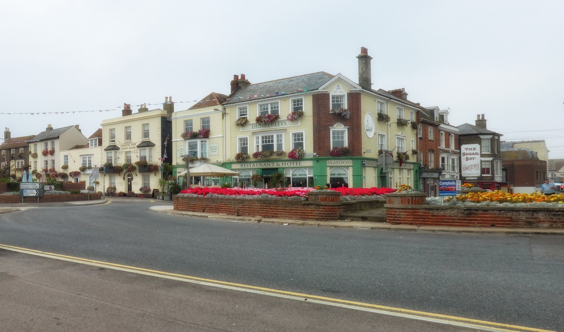
As soon as I reached Deal a seagull heralded my arrival at the coast!
I cycled for three miles along the shoreline, and very nice it was too. There was a row of lovely typical seaside B&Bs that got me humming “Old Cape Cod”, or whatever that song is called.
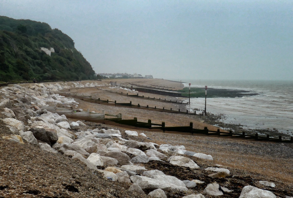
I was now 53 miles and four hours into the ride and still the mist persisted.

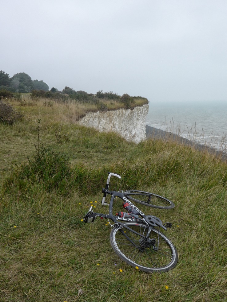
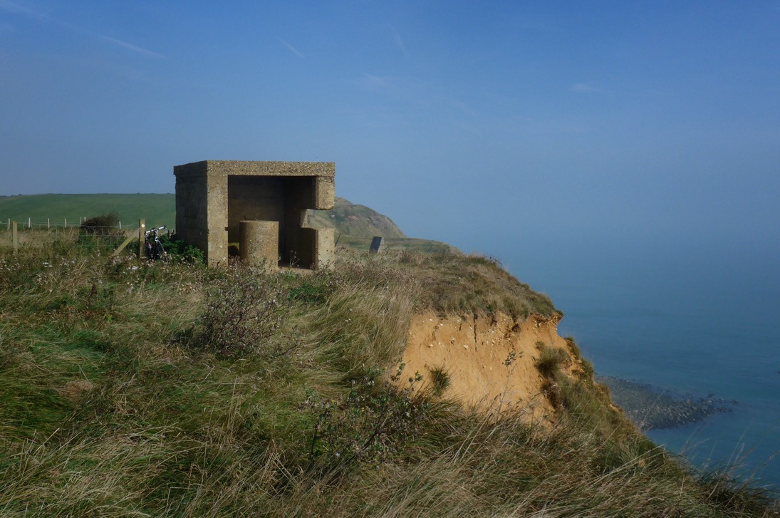
I reached some cliffs. The road turned right, away from the sea, but my Garmin indicated to go straight on. I lifted my bike over a gate and proceeded along a path at the foot of the cliffs. I met two guys walking their dogs so I asked them if the path actually went anywhere useful. They told me that if I climbed over the rockfall just ahead I could go about another half a mile and then no further. They told me there was a path along the top of the cliffs just above where we were standing. Aha! I said, that’s probably where my Garmin thinks I am. I thanked them and rode back to the gate. I could see that there was an extremely steep staircase scaling the cliff face but I sure as hell wasn’t going to carry my bike up there, so I followed the road inland hoping there would be a way back to the cliff top.
There was a road that doubled back to the cliff edge, and I found myself in the car park of a golf club. I asked a golfer who was unpacking his gear whether I could get over to the footpath at the edge of the cliff. He, and a friend of his, strongly advised against it. They said that particular section of path was treacherous and that other cyclists had ‘gone over the edge’. They advised joining the path further along the road, which I duly did. Just up the road I found my way onto the cliff-top path.
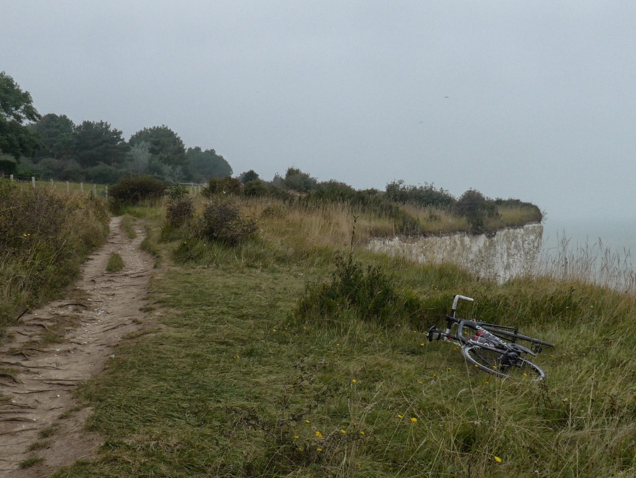
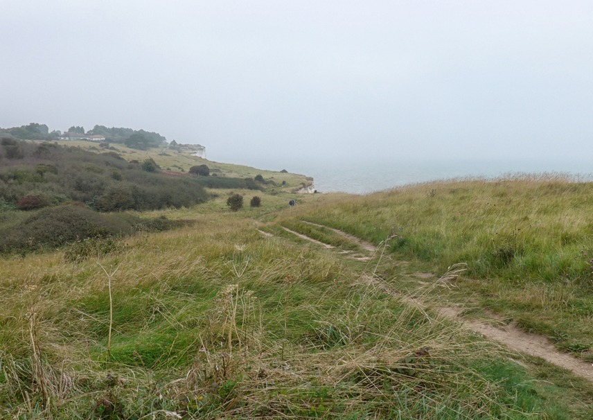
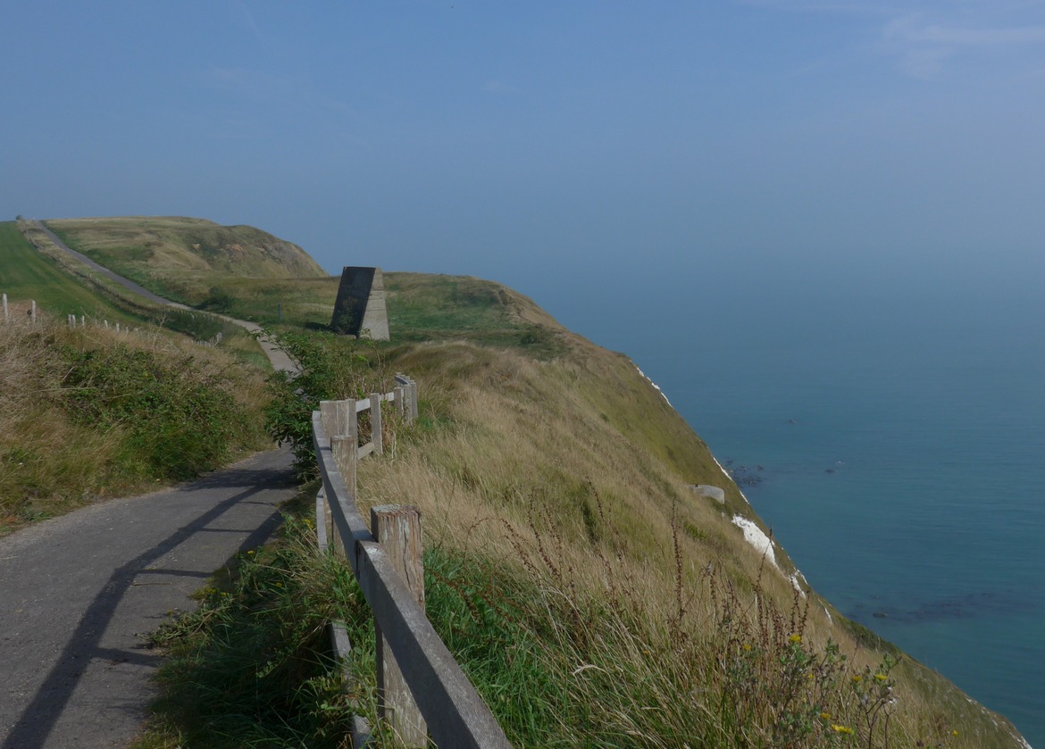
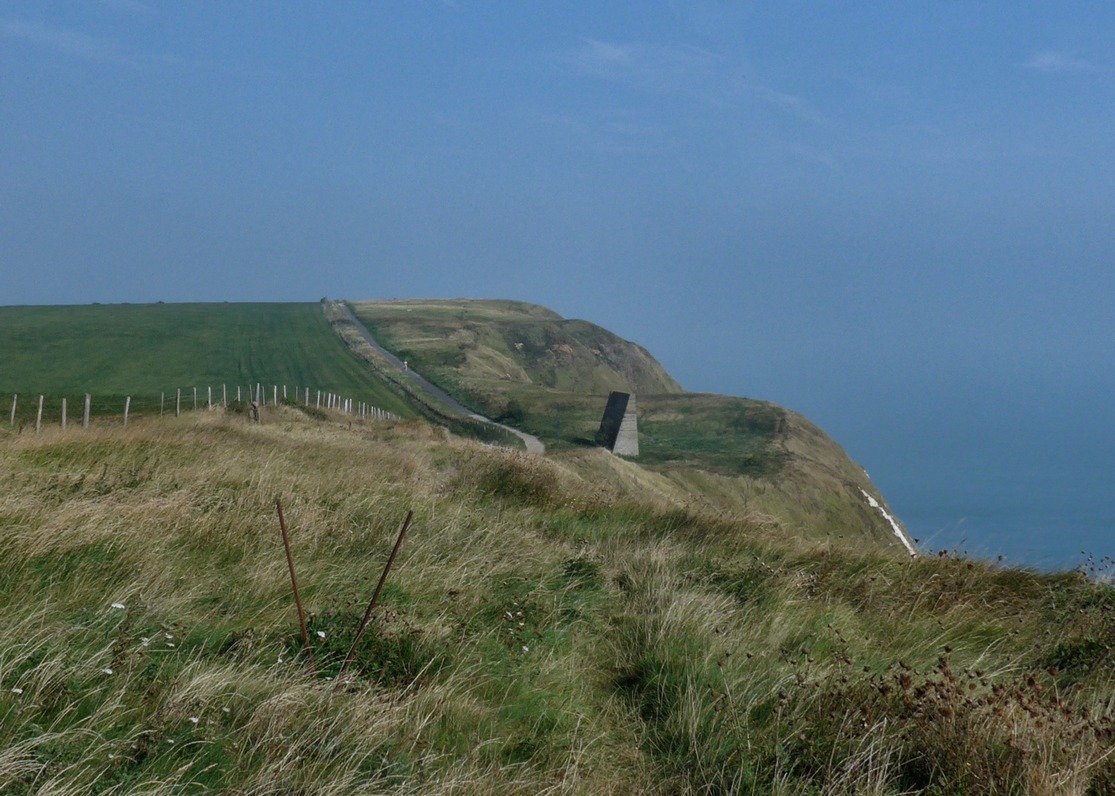
It was an amazing path that followed close to the cliff edge for about three miles to St Margaret’s at Cliffe.
On the path I got chatting to a group of three other cyclists who had ridden from Margate. They advised me that there was a tea-room just ahead at the memorial we could see in the distance.
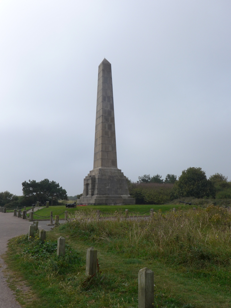
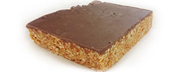
I felt really out of place as I entered the quite formal tea-rooms in my cycling gear. I hastily ordered a coffee and a huge (only size available) slice of chocolate flapjack and I consumed them outside on one of the picnic benches. The temperature had picked up during the ride and it was now very warm, but the sun was still powerless to break through the mist.
On my way again I rode into St. Margaret’s and out again towards Dover, using the same roads that I had been on just days before on the Audax. By the time I saw a misty Dover Castle in the distance, a hazy sun was making an appearance.
Three miles later after climbing a closed-off but perfectly made wide road, I found myself on a path running parallel to the A20 which would take me down to Samphire Hoe.
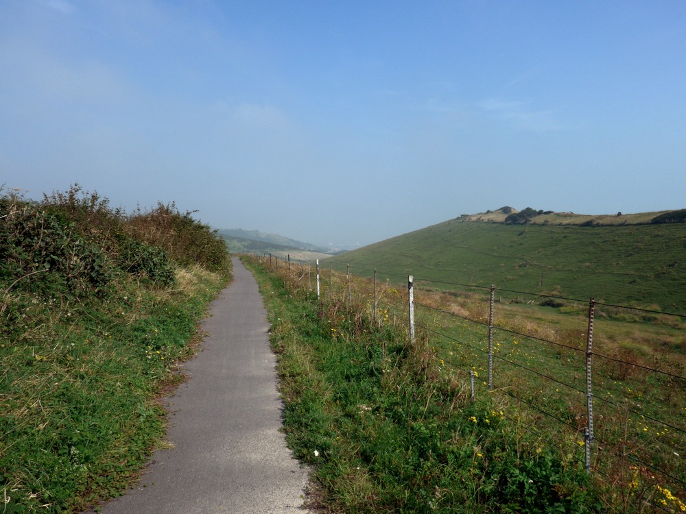
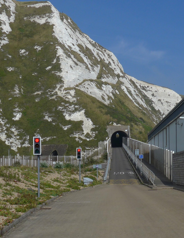
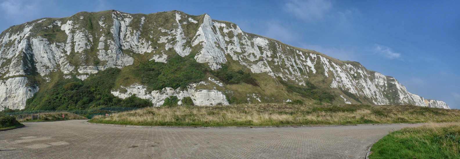
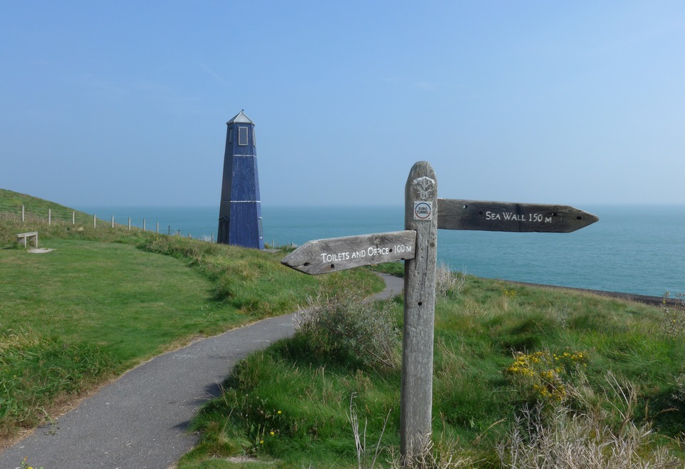
Samphire Hoe is a new piece of land created by Eurotunnel during the construction of the Channel Tunnel. Did you ever wonder where all that soil went when they dug the tunnel? Well now you know!
I didn’t stay long in Samphire Hoe. I only went there to go through the tunnel really! The tunnel is really steep and cuts across the top of the actual tunnel that the Eurostar trains use.
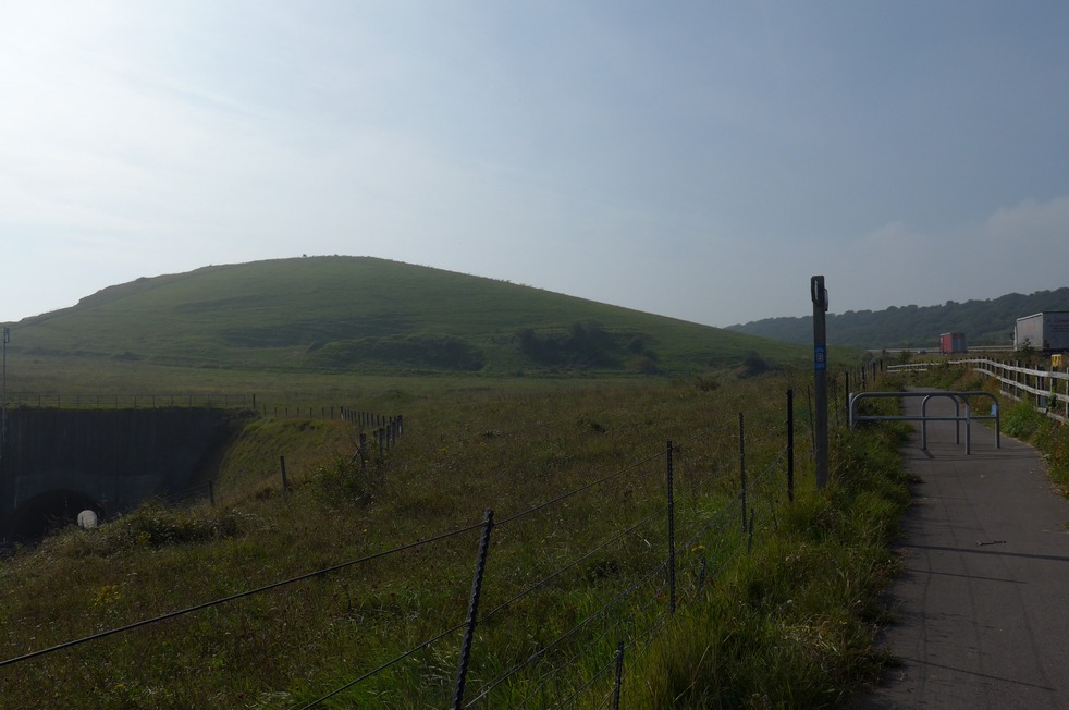
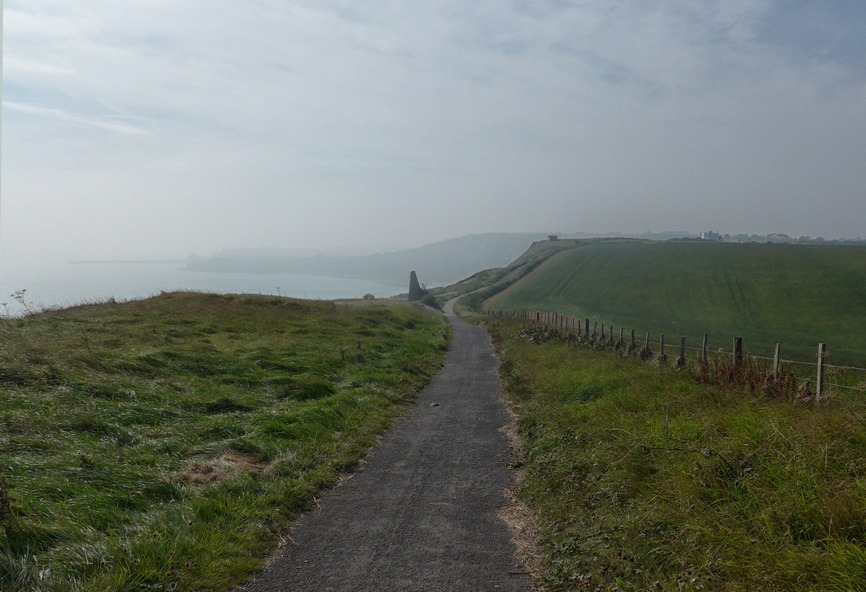
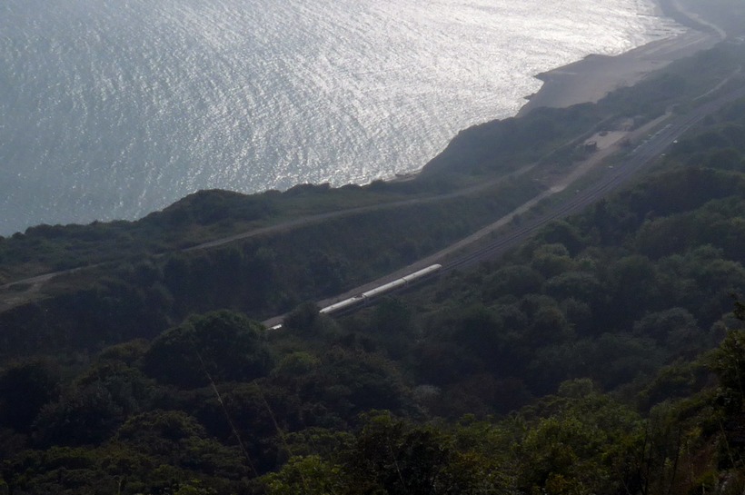
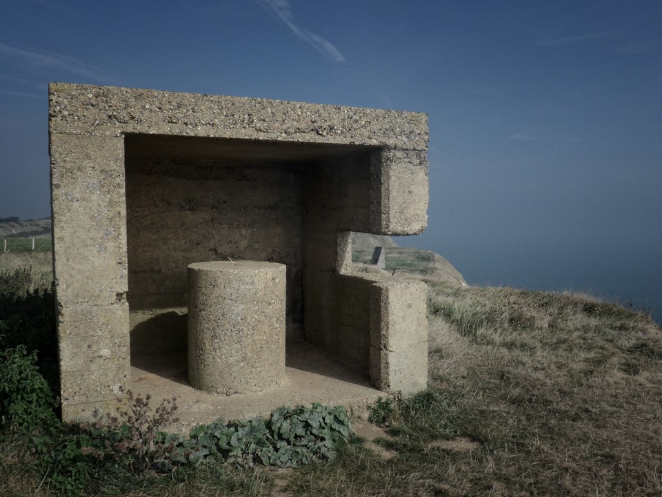
There followed three and a half miles of cliff-top paths and roads to Folkestone:
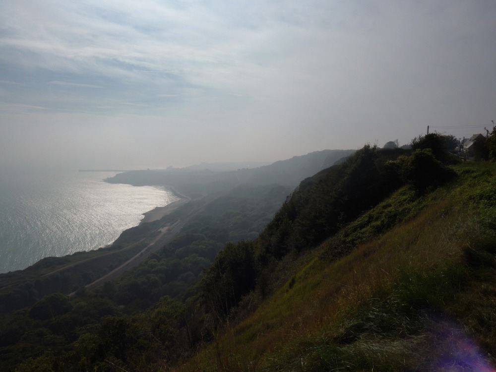
Eventually I descended from the cliffs down into Folkestone:
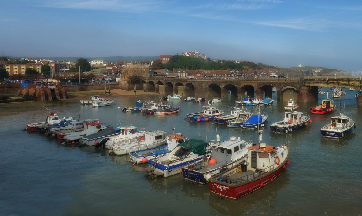
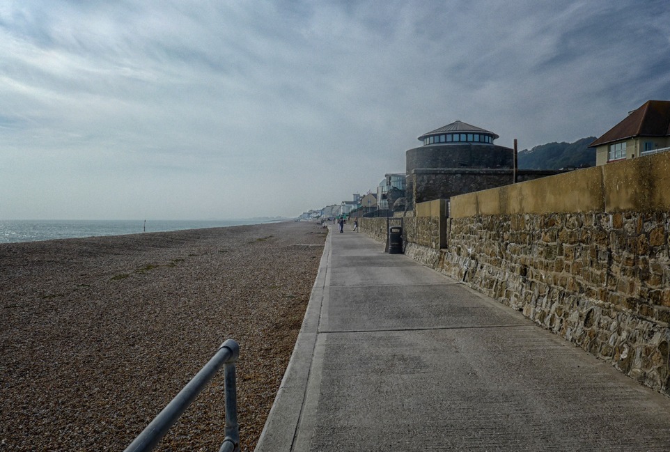
Once through Folkestone I was riding by the sea again, through a lovely park at first and then along the sea wall towards Hythe.
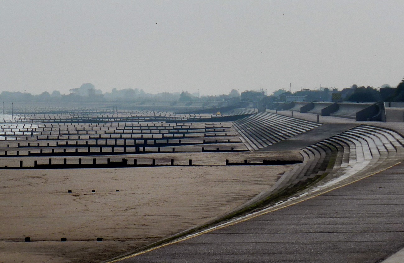
After a three mile detour inland around the firing range at Hythe I’m back on the sea wall again heading for Dymchurch. The wind is behind me and it’s very warm in the hazy sun.
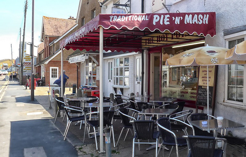
In Dymchurch I intended to stop at a nice café I know, but once again it was closed! So I did what I normally do and went to the and had a toasted cheese sandwich and cup of coffee. Very nice too. In fact, this is becoming my favourite café in Dymchurch. I always get very friendly service there.
After I left Dymchurch I rode the whole of the rest of the journey without stopping. I made a very good time to Staplehurst, covering the 28 miles in 1hr 40mins. It was almost getting dark by the time I got home. I had made lots of stops for photos and food!
Fuel


