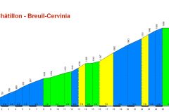
Distance: 32.6 miles. Elevation: 4812 ft.
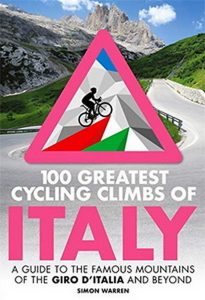
For a long time I have wanted to do a ride that offered a decent view of The Matterhorn. I didn’t find much info online to help me, but then reading Simon Warren’s book , I found the ideal route: a ride north from the Aosta Valley up to Breuil-Cervinia at the base of The Matterhorn, the iconic mountain that rises up magnificently between Italy and Switzerland.
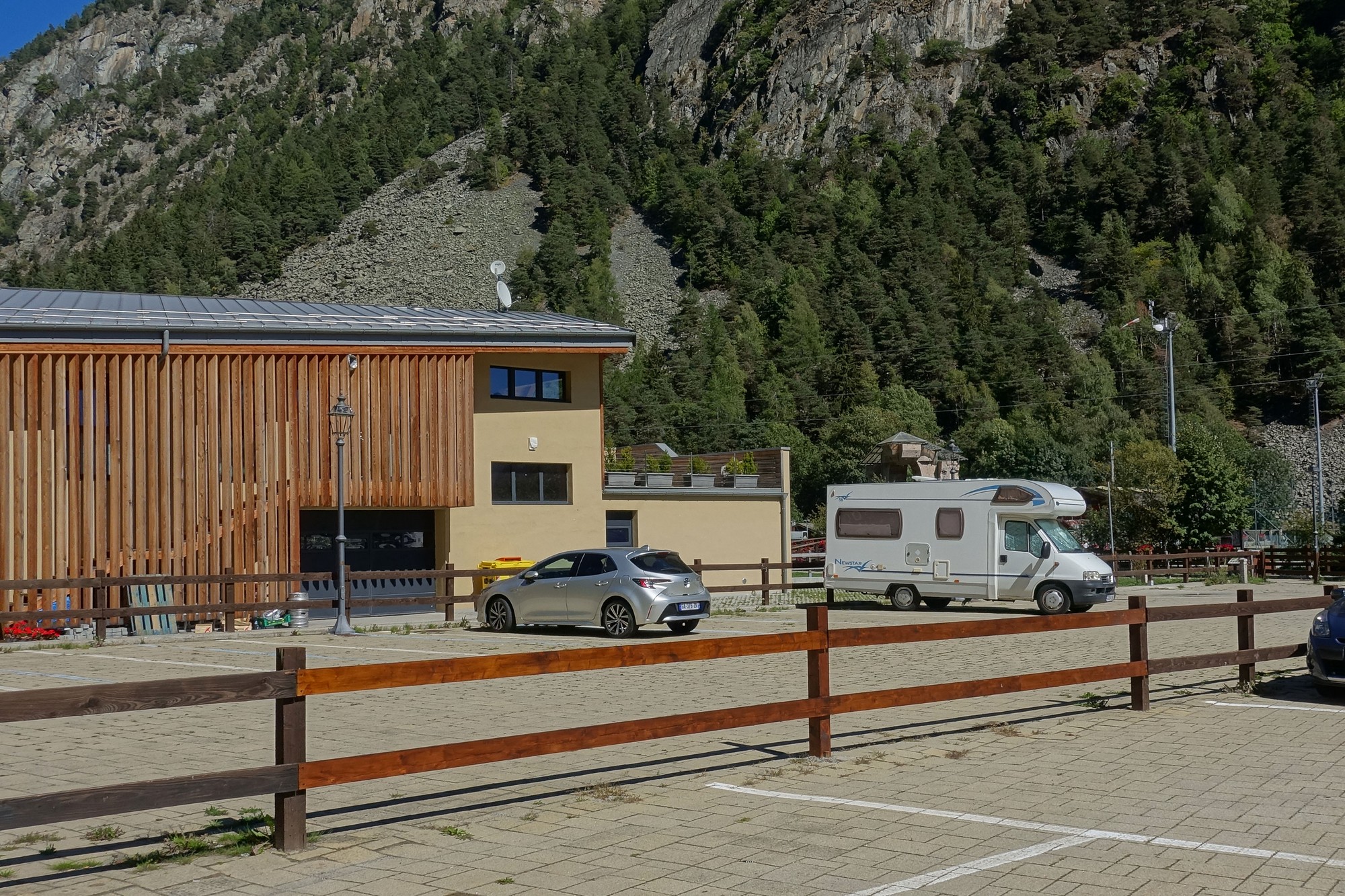
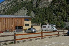
I couldn’t find anywhere to park at the base of the climb in Châtillon, so I parked about a third of the way up, at Antey-Saint-Andrè. So, to ensure I did the whole climb I had to descend first to Châtillon and climb 16 miles to Breuil-Cervinia, and then back down to my van.
The weather was wall-to-wall blue skies, and because the ride was essentially northwards, the sun was on my back for most of the climb. The air was cool – I’d say low 20s°C or less. So I had a base layer and light rain jacket for the descent. I couldn’t find my NPT so I applied loads of factor 50 to my neck.
I set off just after 1pm and proceeded to plunge down the hill to the start.
The first thing I noticed is that there was a headwind, which was good because that would help me on the way up. Similar to my last ride I thought “what have I done?” (in deciding to descend first to the bottom). It was steeper and longer than the descent to Lac de Roselend. There was a fair bit of traffic. I reached Châtillon in 13 minutes. And so the climb began. I had an energy gel.
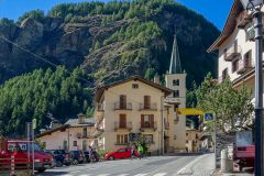
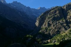
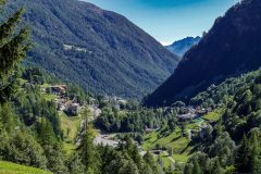
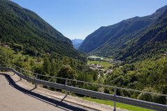
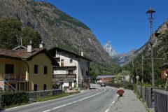
I didn’t take that many photos on this ride because it just wasn’t as photogenic as Cormet de Roselend. I went through some lovely villages, all bedecked with flowers, but it was essentially people’s houses, gardens, restaurants and hotels.
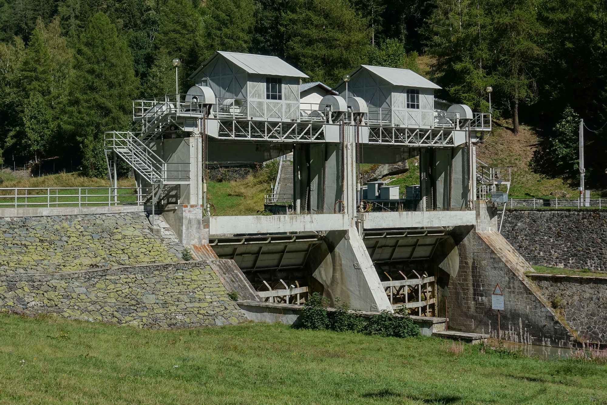
Obviously the first point I wanted to reach on this ride was where I started, at Antey-Saint-Andrè. So I slogged my way steadily up the climb. I was very warm in my base layer with the sun blazing down on my back. I kept tipping my helmet back to allow cool air to reach my head.
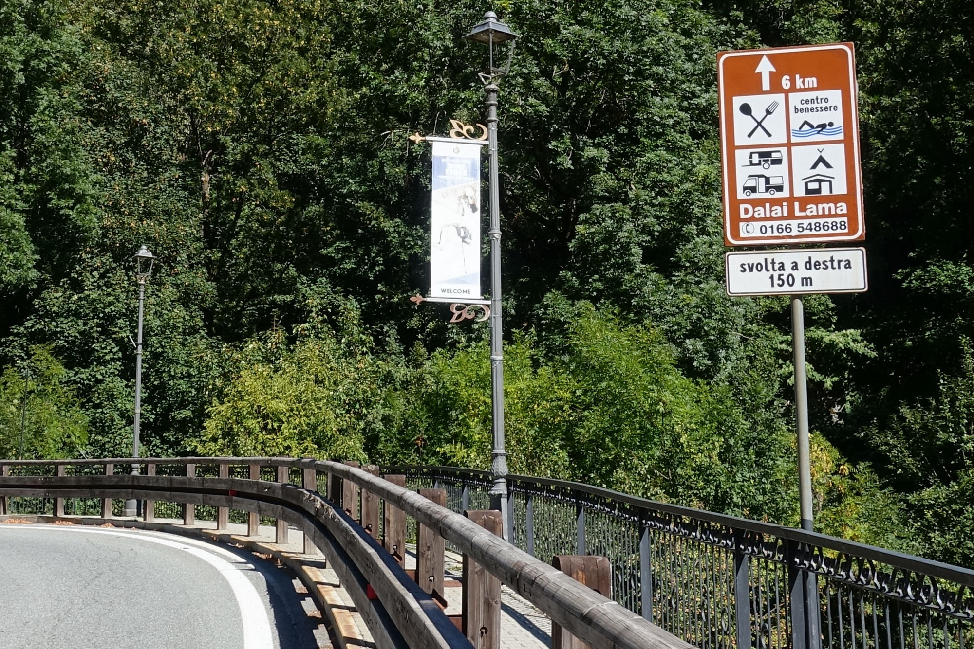
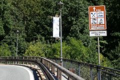
I kept seeing these signs at the side of the road saying how far to a motorhome service point.
I assumed that was where I was parked, so I used them to count down my progress. The first one said 8km, so that’s five miles. With still 3 or 4 km still to go, imagine my delight when I looked over and saw my van! The signs had obviously been for somewhere else. I’d made the 5½-mile, 1600 ft climb without too much trouble.
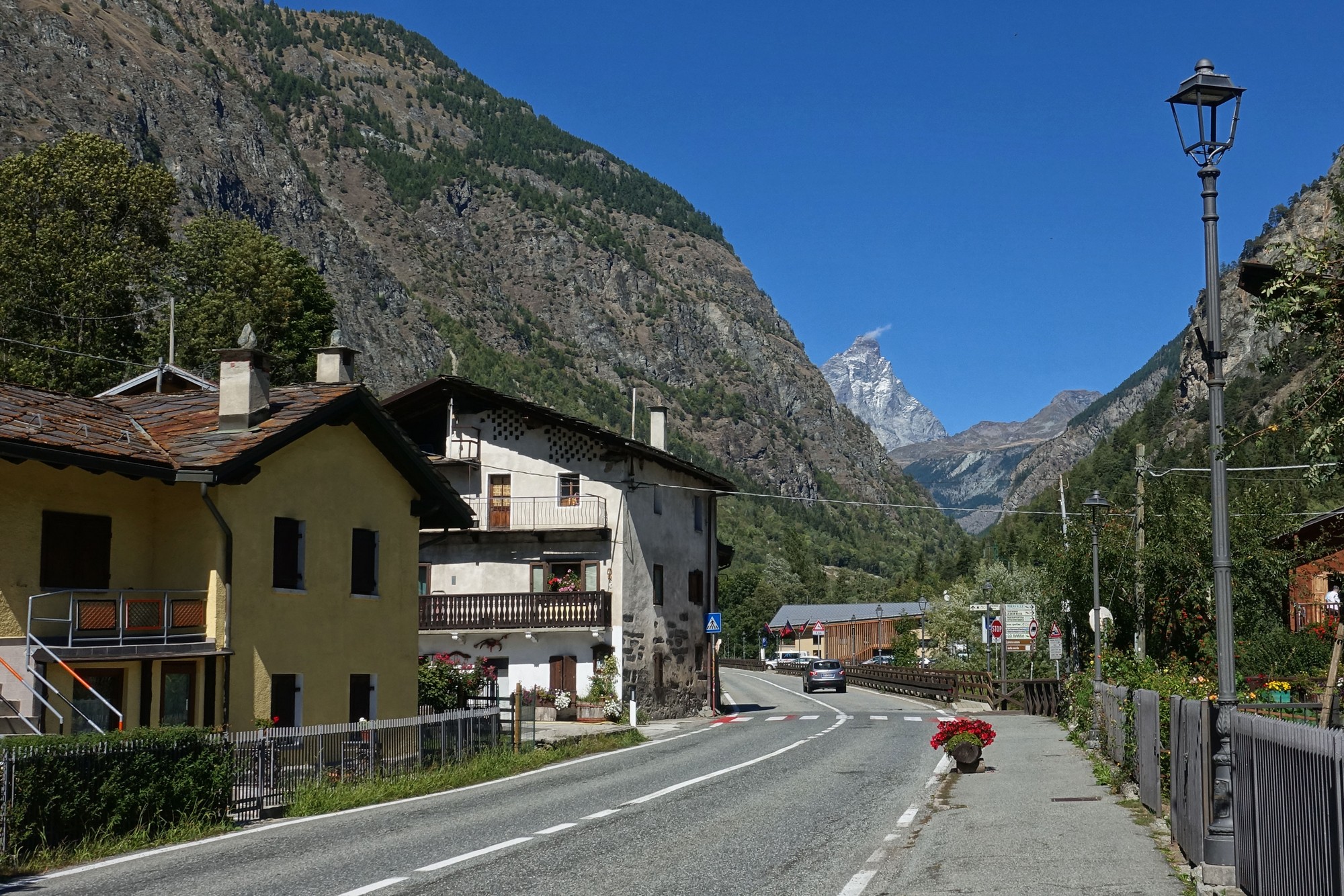
Just another ten miles and 3000 ft to go!
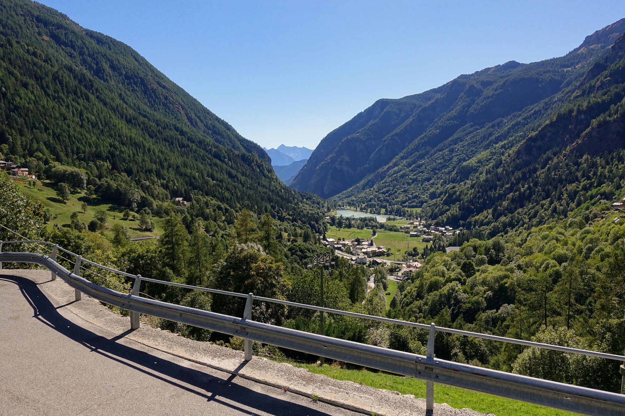
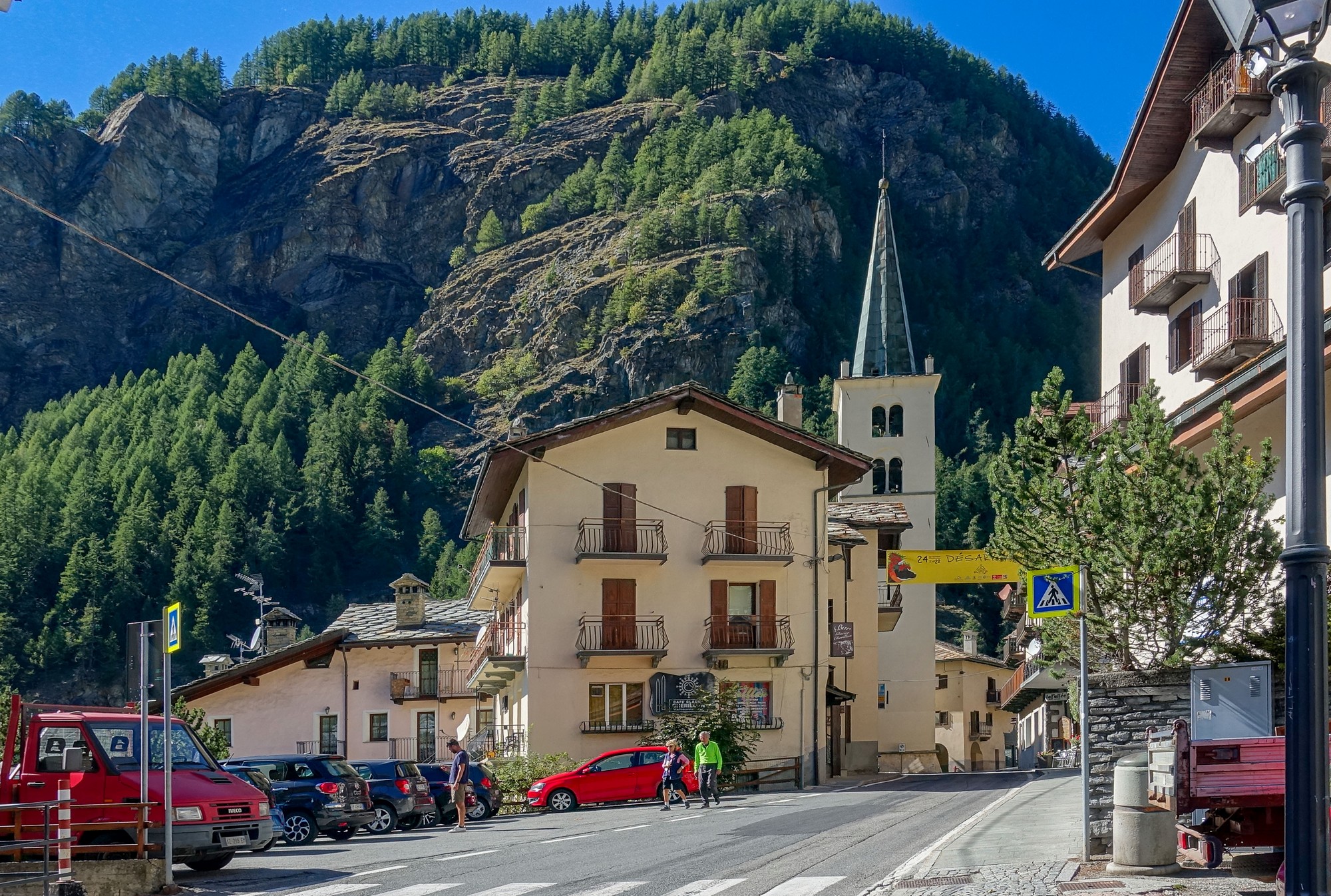
The tip of the Matterhorn I saw earlier has been completely out of view since then. Somewhere after Valtournenche my Wahoo Elemnt Bolt screwed up. It said I was off course, but the course wasn’t on the screen, just the blank map. I couldn’t be bothered to work out what had gone wrong. I had been through several tunnels and galleries where the Wahoo had got confused because of no GPS signal. Maybe that was the source of the problem. On this ride it didn’t matter too much because there was only one road up to the top, but still annoying because it could happen on a more complicated route. I started feeling hungry after having been climbing for 2½ hours, so I stopped and had half my sandwich.
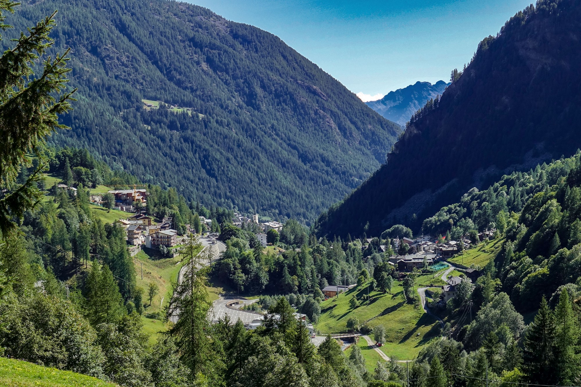
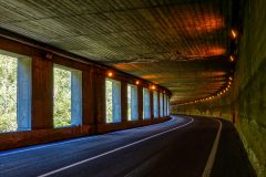
I was wondering when the Matterhorn would come into view. I could see where the valley went between some tall rockfaces ahead and I could see a gallery (like a tunnel with open sides built to protect the road from rockfall) up ahead and I thought it might be the other side of that, but no.
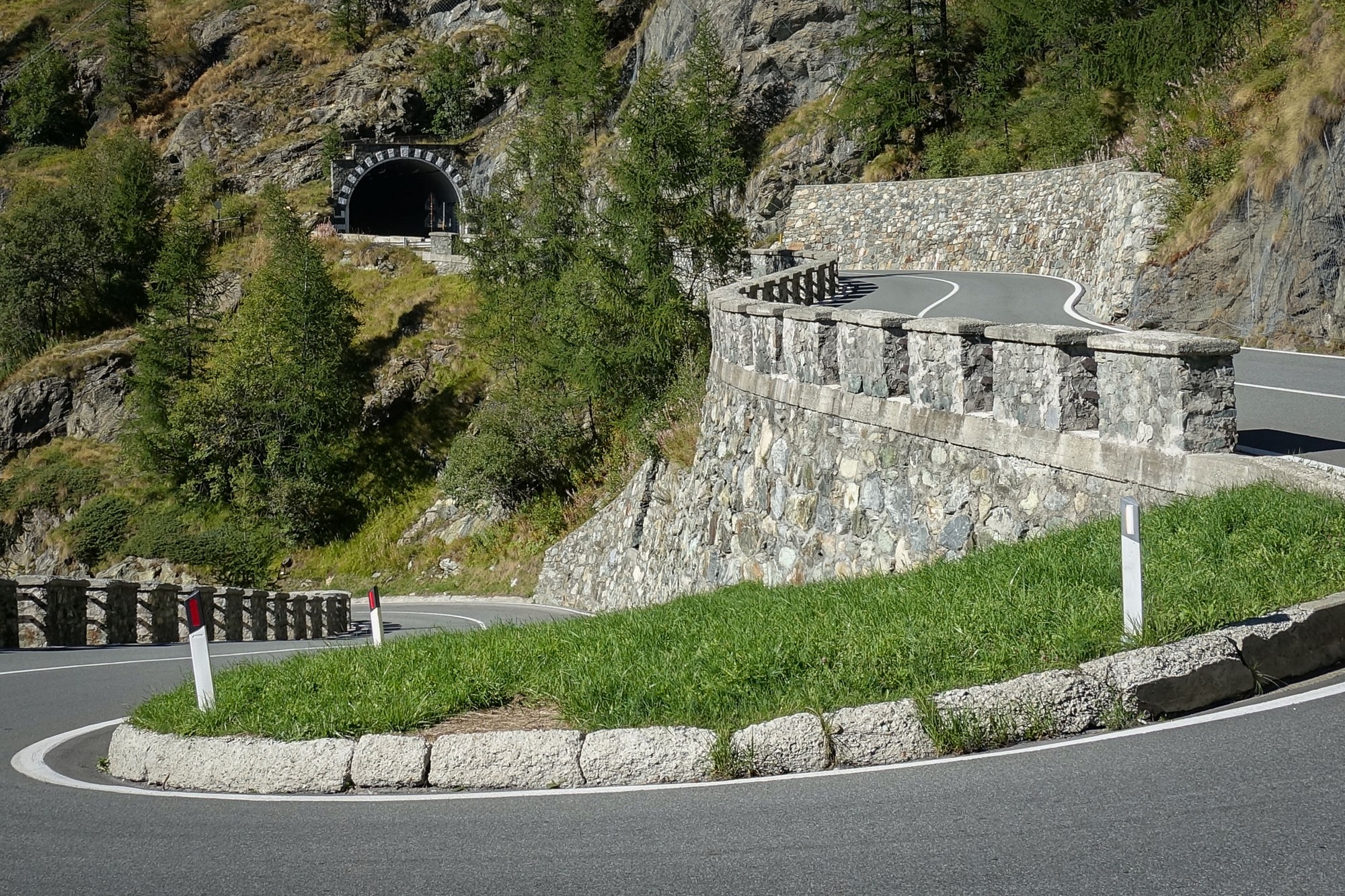
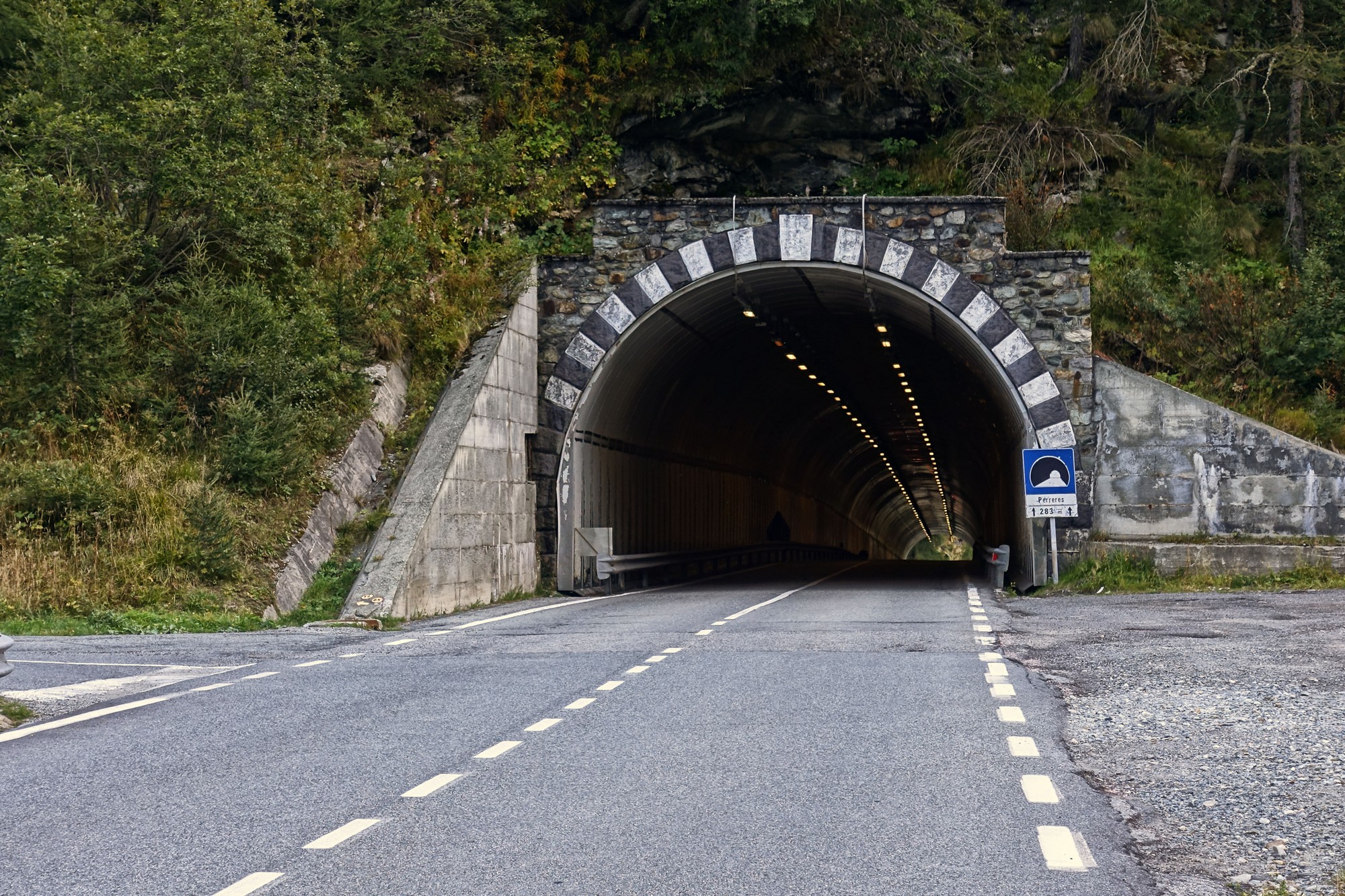
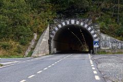
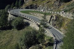
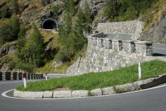
Then I saw a tunnel coming up at the top of some steep switchbacks. Maybe I’ll see the Matterhorn once I’m through that.
No, it still wasn’t in view once through that tunnel. I wondered how far I had left to go. So I stopped and looked on my phone, which reported only 3km to go. Yay, that cheered me up a bit.
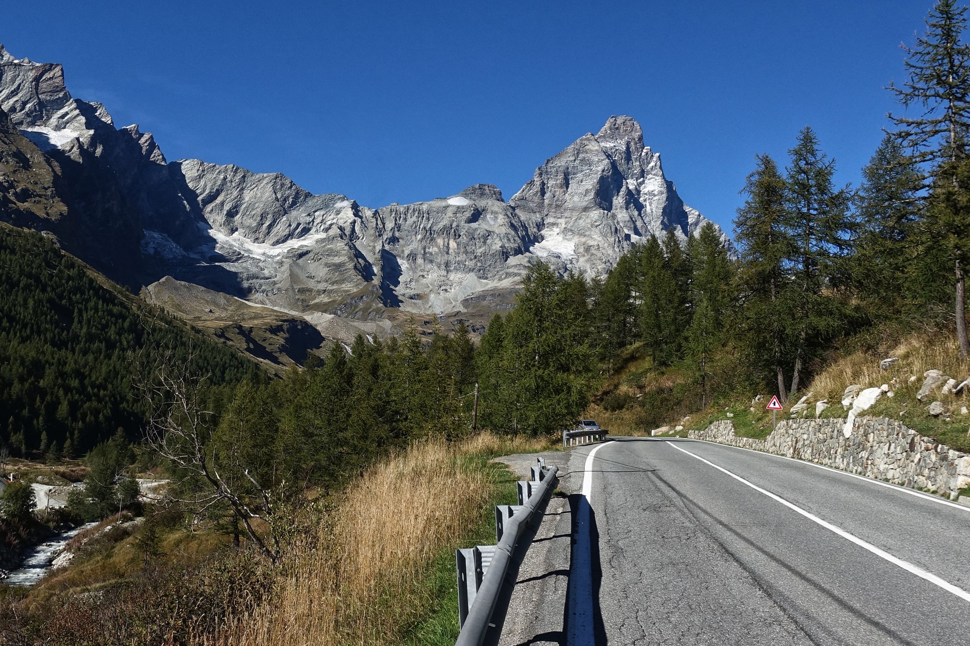
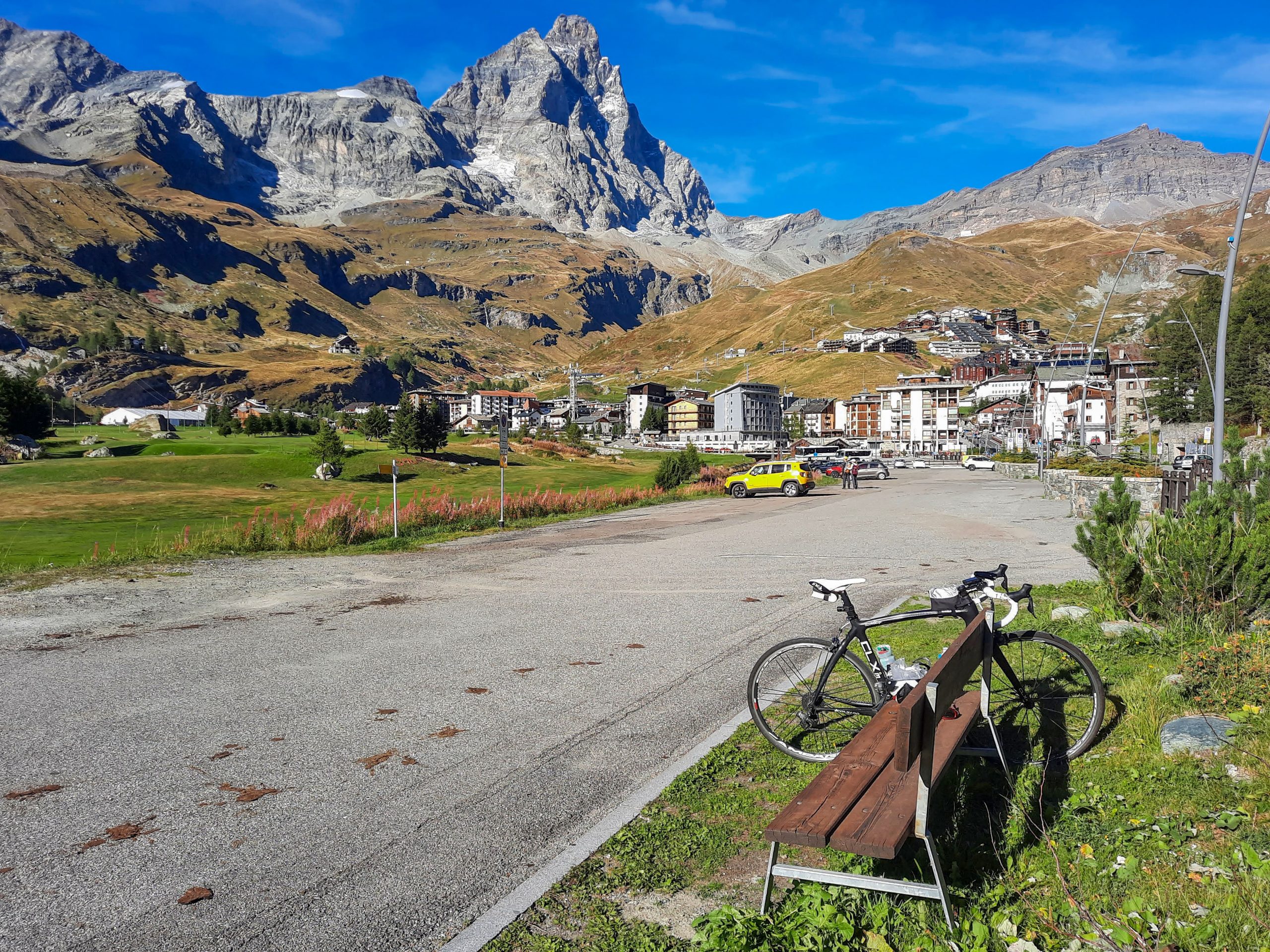
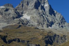
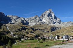
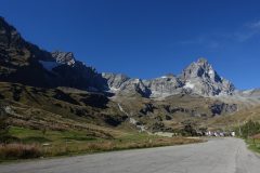
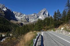
Another couple of ‘lacets’ later and there it was in front of me. The base was still obscured by trees at first but round each successive bend it revealed itself gradually.
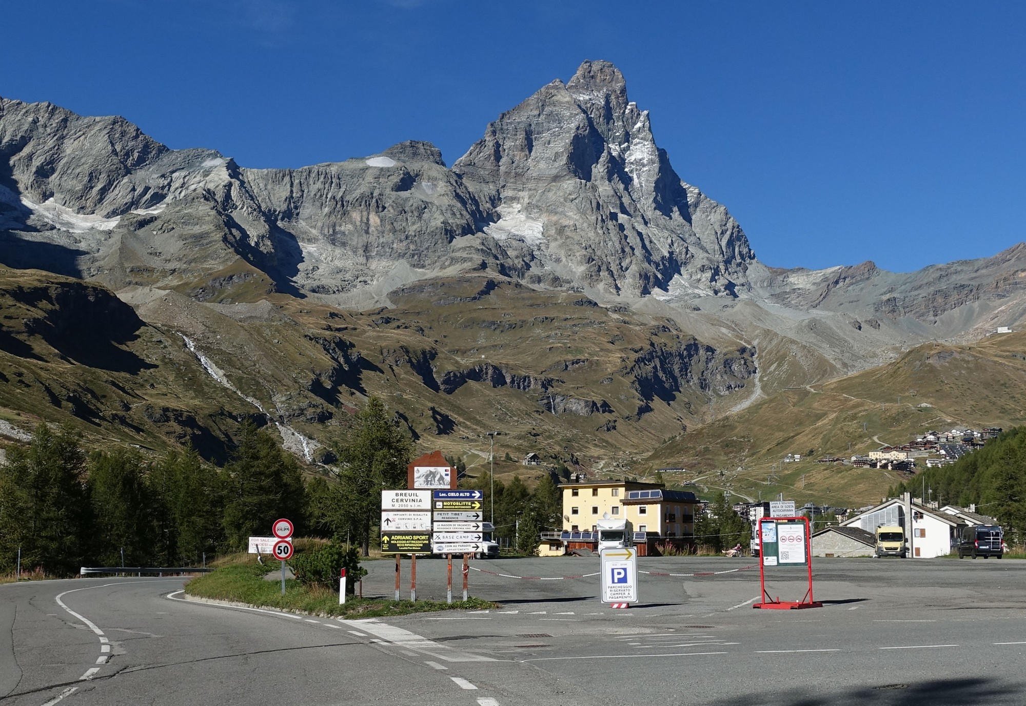

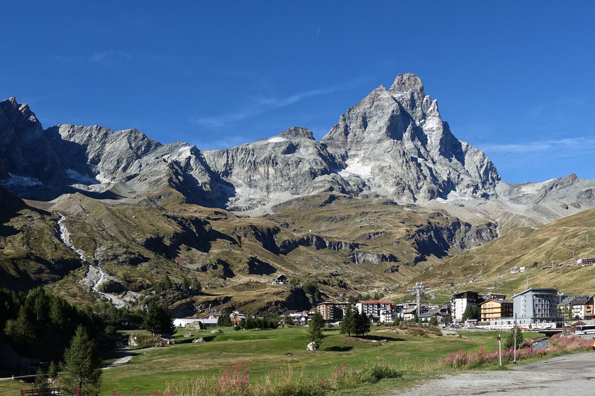
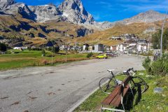
I sat on a bench and took in the view while I ate the rest of my CST sandwich and a bit of fruit cake.
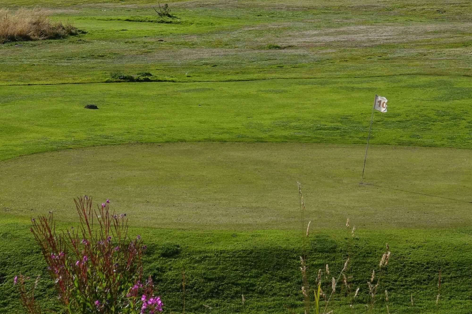
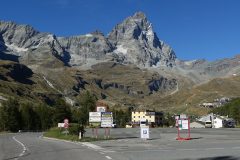
As I sat there I suddenly noticed this:
My heart sank. What an abomination! Not content with erecting a load of eyesore buildings at the foot of The Matterhorn they have to cap it off with a bloody golf course! Jeeeeeeez.
I donned my rain jacket and started the descent. It was cold and the sun was mainly behind the mountains. The speedy ride home was marred in places by a really bad road surface, especially in one of the tunnels where I could barely see the road because of having my shades on.
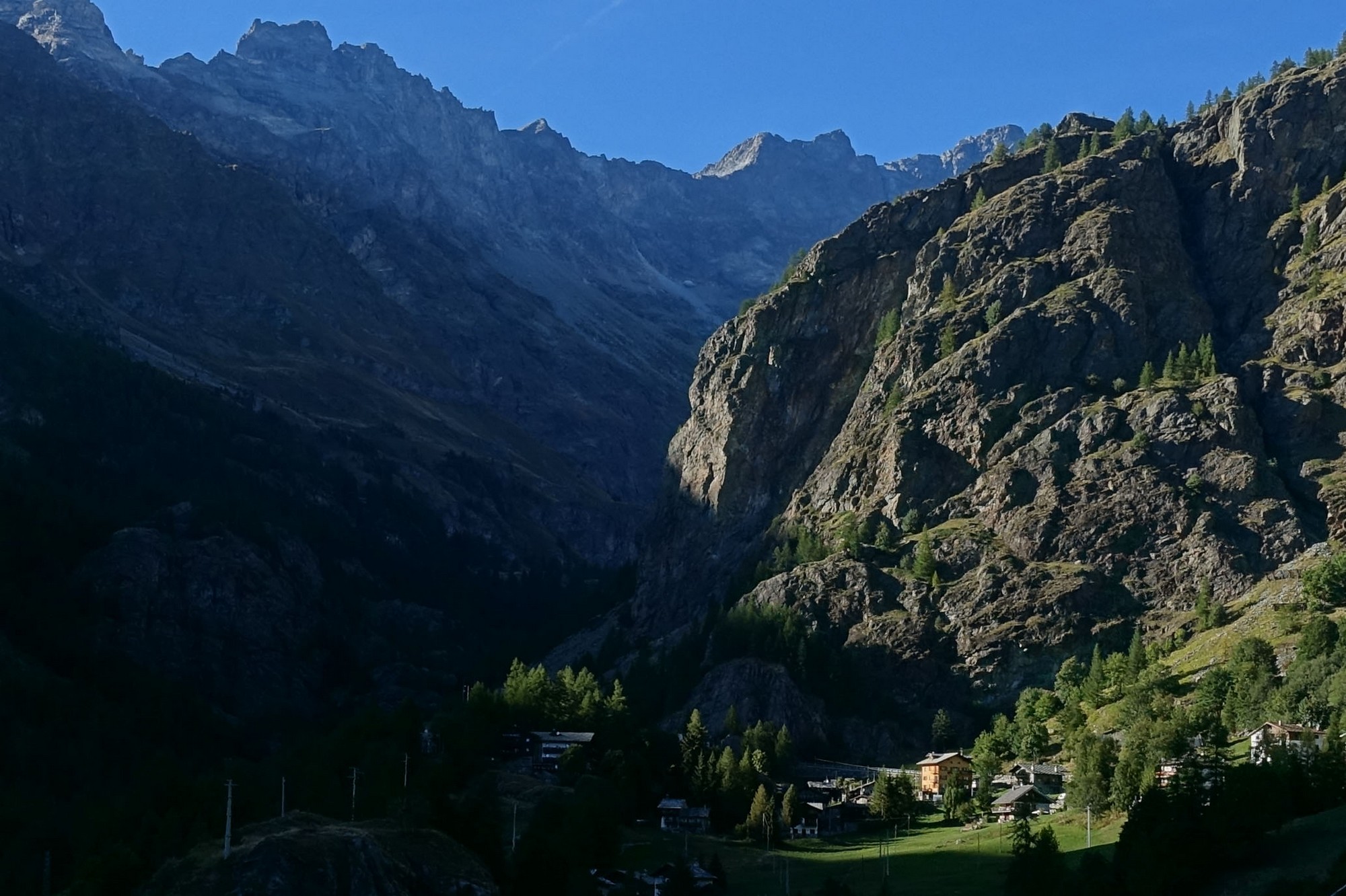
I enjoyed the descent as much as I could given the state of the road. At one point I was held up by a coach which couldn’t take the bends as quickly as I could. Then on a straight stretch it got away and three cars got by me, but when it came to another twisty section I managed to overtake all four of them and leave them in the dust! In fact it was several minutes after I got back to my van that I saw them all go by. Hehe..
So I’ve finally seen the Matterhorn up close. When I first clapped eyes on it I was disappointed that it wasn’t snow-capped, but you can’t have everything I suppose. While it was great to see the magnificence of The Matterhorn, this ride pales next to Cormet de Roselend, largely by virtue of the commercialisation of the valley. Still I guess people need to make a living. Now if they could just resurface the road…
Fuel
Gallery
Click to enlarge / see slideshow






Great ride Vince with beautiful photos. Lucky with the weather. Maybe blame the ugly hotel blocks on old Benito M as he developed the place. Maybe the Zermatt side is prettier.
Cheers Al, thanks for the info. Maybe the other side is nicer.
The buildings and villages up the valley are lovely. It’s only ruined at the top!
Bonjour Vince, belle vue sur le Cervin ! Même si malheureusement il y a des stations très moches dans les montagnes, il faut savoir qu’il n’y aurait pas routes sans elles, donc pas d’ascensions à vélo ! Il y a très longtemps, j’étais monté en train à Zermatt du côté suisse, la station est beaucoup plus belle.
Bonjour Joris. Merci pour votre commentaire. Oui, c’est vrai, mais je préfère les routes sauvages et naturelles comme la Bonette ou la Cayolle, sans stations de ski, et surtout sans golfs !