Distance: 41.4 miles. Elevation: 5288 ft.
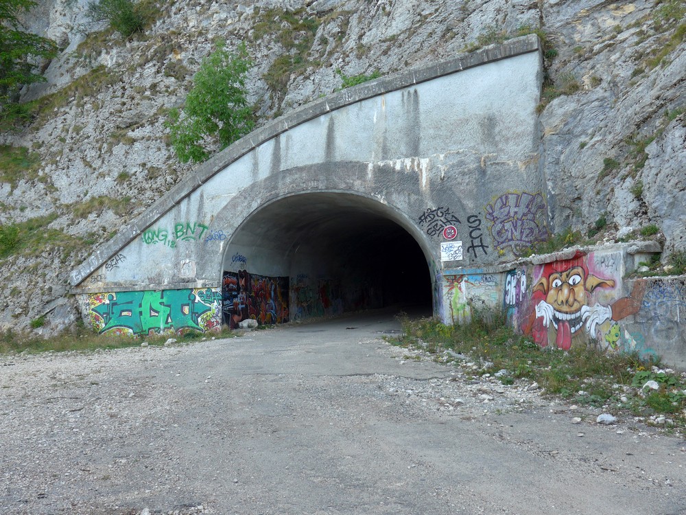
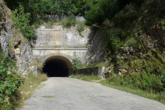
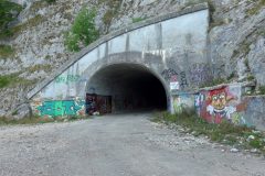
The purpose of this ride was to see if I could get through Le Tunnel Mortier. This tunnel was built for the 1968 Winter Olympics in Grenoble, to allow people to get from Grenoble to Autrans I guess, but the approach road on the Grenoble side was ill-fated.
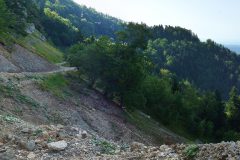
“The Tunnel Mortier was created for the 1968 Winter Olympics to provide a way to leave Autrans to the North, rather than having to go South through Villard de Lans. However the soil on the side of the escarpment wasn’t all that stable. The first landslide blocked the road on 30th Jan 1971, which was cleared in Oct 1972. A second slip happened on 20th April 1992 from underneath the summit of La Buffe, and this one closed the road permanently.”
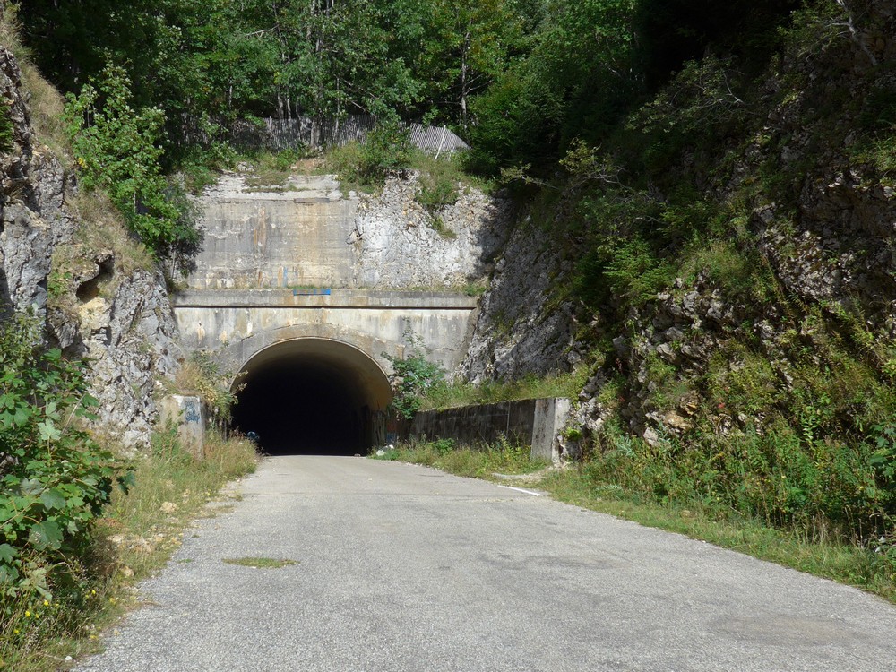
Since then, access through the tunnel has been prohibited to anyone, by car, bike or walking. I’d seen all manner of photos and videos on the internet showing the tunnel blocked off with piles of rubble and fences and warning signs, and read various reports of intrepid explorers who had, or had not, made it through. I also saw videos showing the almost impassable state of the road on the other (Grenoble) side, the scene of the landslide. And I had also read, or thought I had, that there was another tunnel on the approach road from Mortaud (see below) that was also closed.
Anyhoo, I designed a route to make my way up the steep side, go through (both) tunnels and descend via Autrans, Méaudre and Villard-de-Lans and back to Lans-en-Vercors.
After making and eating too much porridge, I delayed my start slightly to give my stomach time to sort it out, and left at 12:40. It was a day where the sun was blazing hot but the air was reasonably fresh, probably because I was already at an altitude of 1000m at the start. I didn’t wear a base layer, just a short-sleeved jersey. I had made a note in my head of various key points: the climb began at 17 miles, followed by 4 miles of steep climbing at nearly 10% and then another 8 miles of less steep climbing, after which the descent home would start.
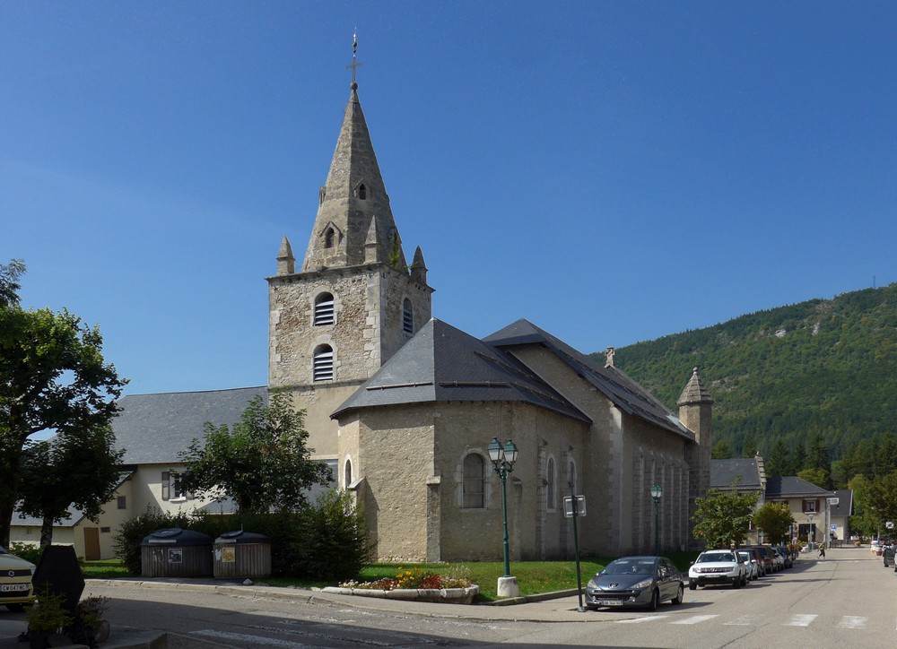
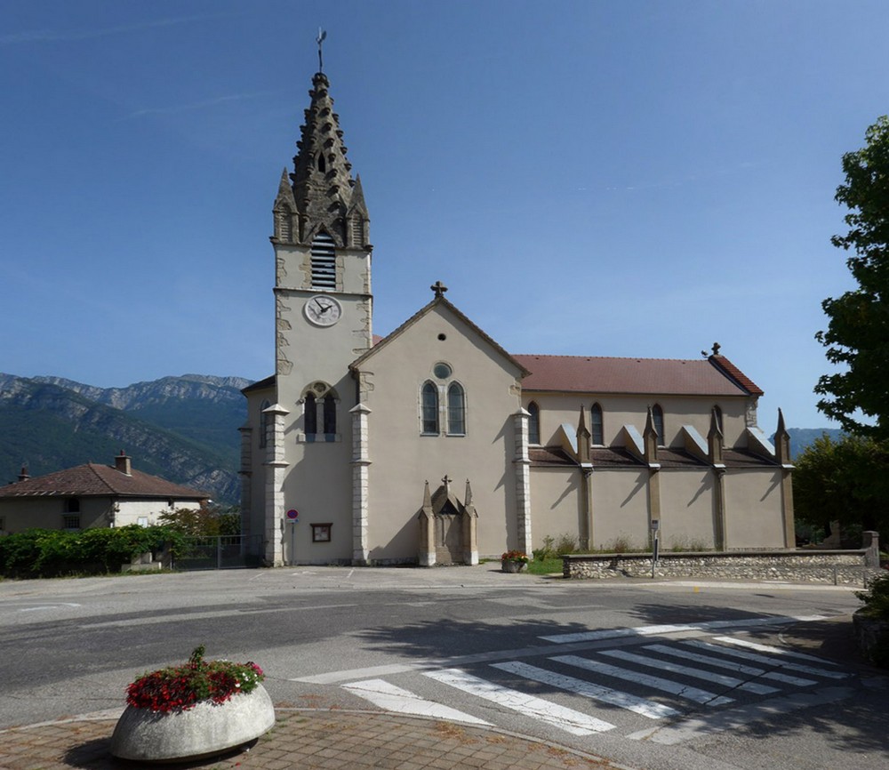
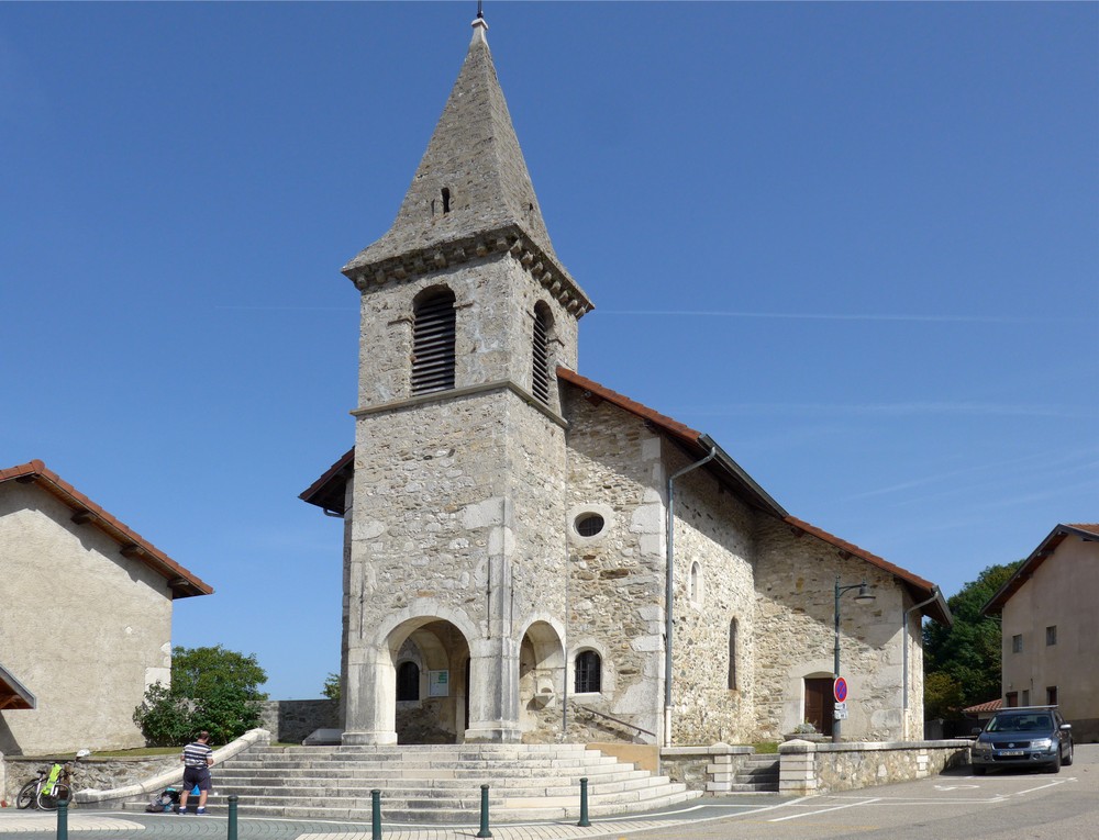
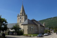
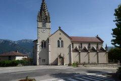
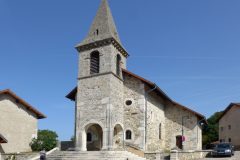
The ride started well with a shot of a church, as I passed through Lans-en-Vercors
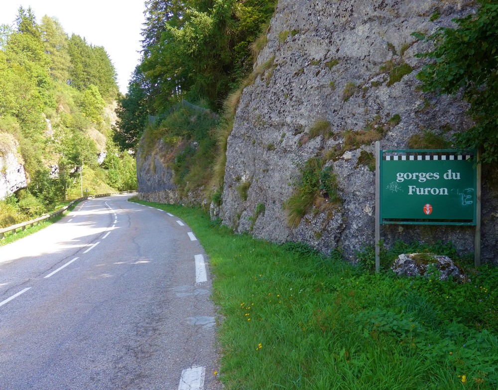
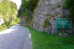
My route entered gorges du Furon,
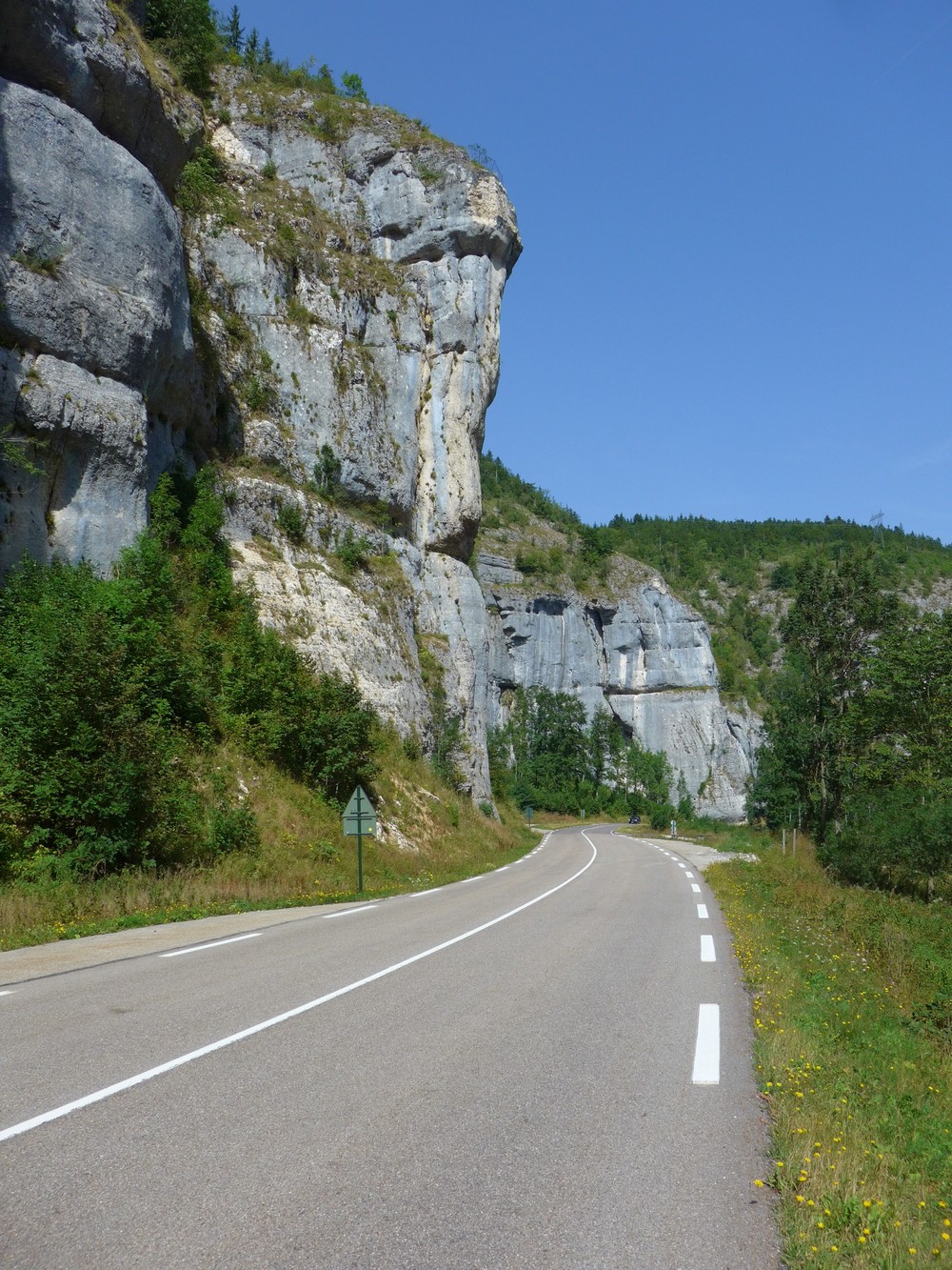
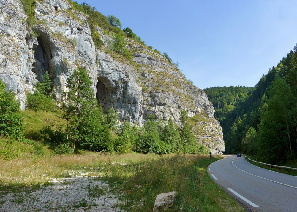
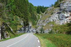
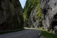
.. the beginning of ten miles of glorious descent. I was totally awe-struck by this road.
Is there no end to France’s amazing sights? I asked myself. Certainly there is not enough time in my life, nor in many lifetimes I’d wager, to see all that this beautiful country has to offer. I could have stopped every 50m for another stunning view, but I was trying to also enjoy the descent and the road. There was a river by the side where some people were camping. Others were having picnics, as is the way of the French. I was comparing it to other descents such as Mont Ventoux or Gorges de la Bourne. By the time I’d reached the bottom I’d promoted it to number one position! (Since then I’ve put it second to GdlB). I soon approached Sassenage.
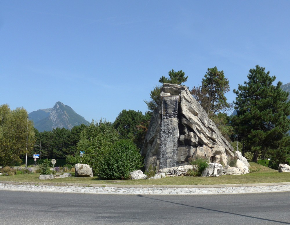
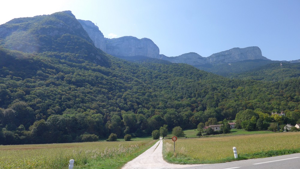
Now that’s what you call a roundabout! The road levelled out as it followed the Isère basin for five miles from Sassenage to Veurey Voroize. Down here, the air temperature was very warm, 30°C+. The massive cliffs of the Vercors were to my left
And I knew that soon I’d be climbing up there. In Veurey Voroize, I stopped to eat half a banana.
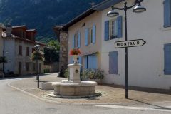
And then it was into the climb towards Montaud
Those first four steep miles took me 45 minutes, during which it was very hot, climbing through woods but exposed to the sun a lot. I was seeking out the shade on the wrong side of the road where necessary. There was very little traffic. I was aware of the sun blasting down on my neck and at some point I stopped and put my neck-protector thing on. Also at some point I ate the rest of my banana.
In fact during those four miles the gradient got steeper, becoming quite a challenge until it reached Montaud when it actually levelled out for a while.
I was surprised to see, in this village way up in the middle of nowhere, kids playing netball in the (ubiquitous) municipal court.
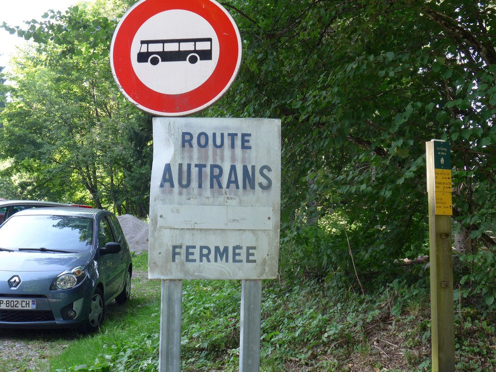
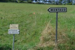
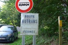
As expected, the gradient then eased quite a bit, to about 5 to 7%. But that section seemed to go on interminably. I’d passed a sign saying that the Autrans road was closed, and yet there were still cars going past me. I didn’t know if they lived up there maybe. Then I saw another sign warning of the road being closed, with a few cars parked there
Just after I had taken that photo, I turned around and saw the biggest snake I’ve ever seen in the wild slithering across the road. It was about 3 feet long. It was really annoying that I had just put my camera back in my pocket. There’s no way I would have been able to get it out in time, as the snake was heading underneath that car.
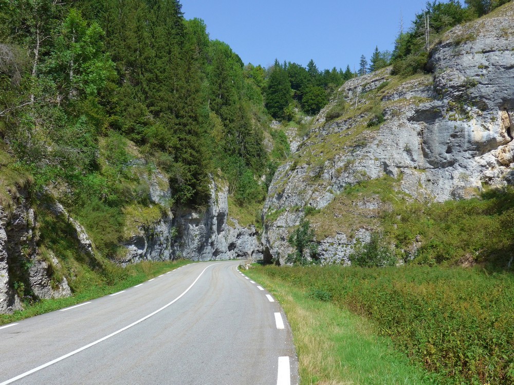
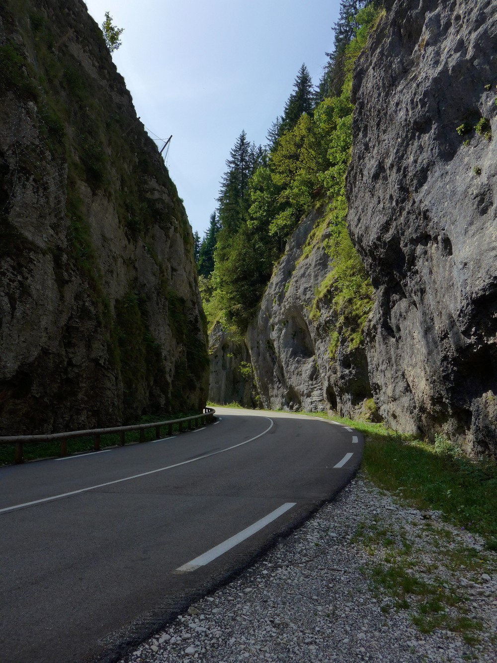
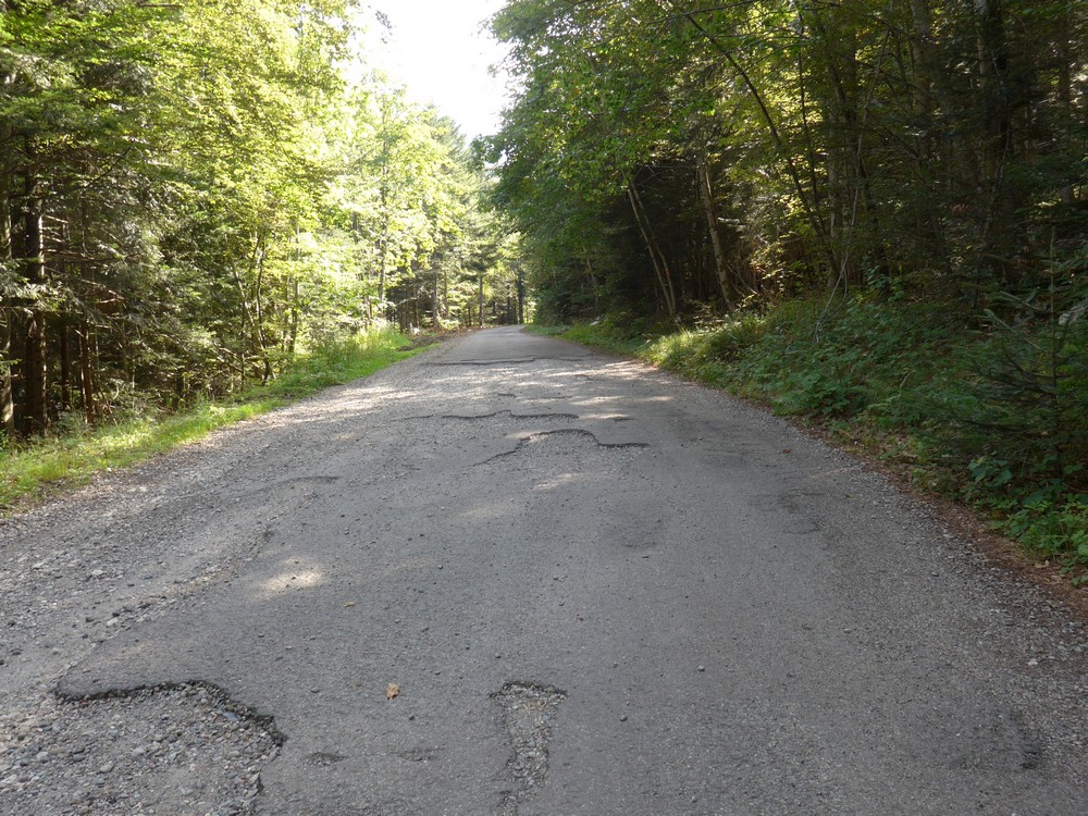
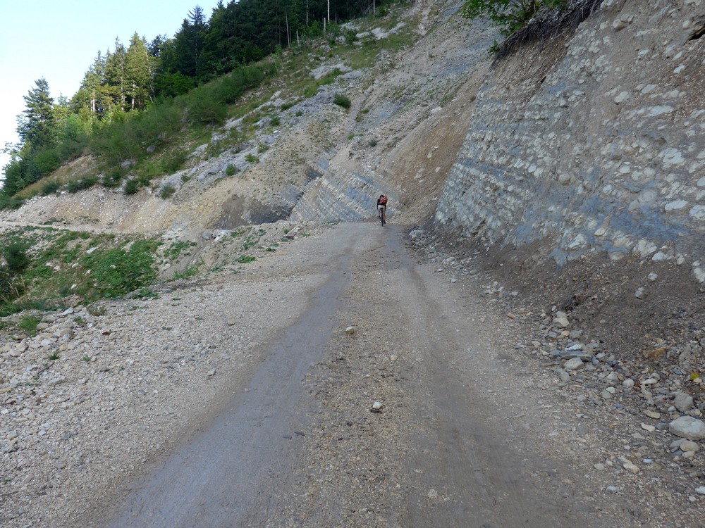
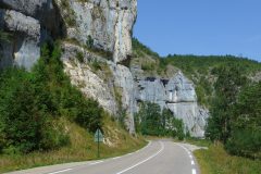
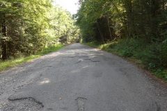
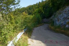
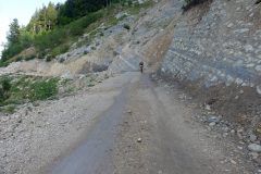
From that point on, the road to the Tunnel Mortier was rough, in parts, presumably not repaired since 1992.
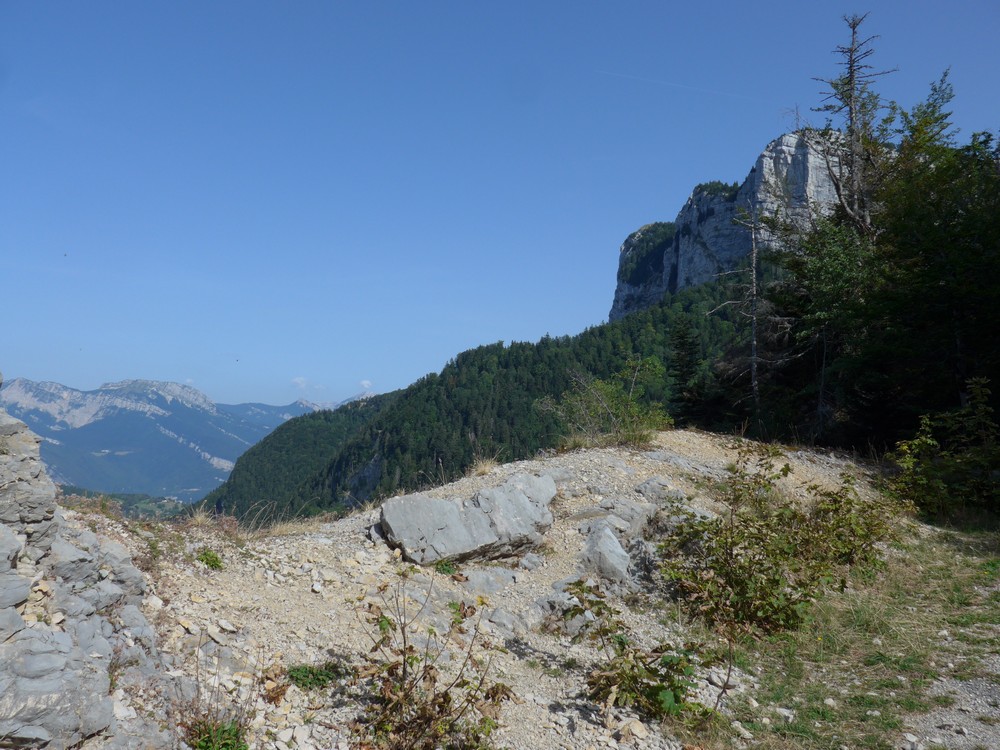
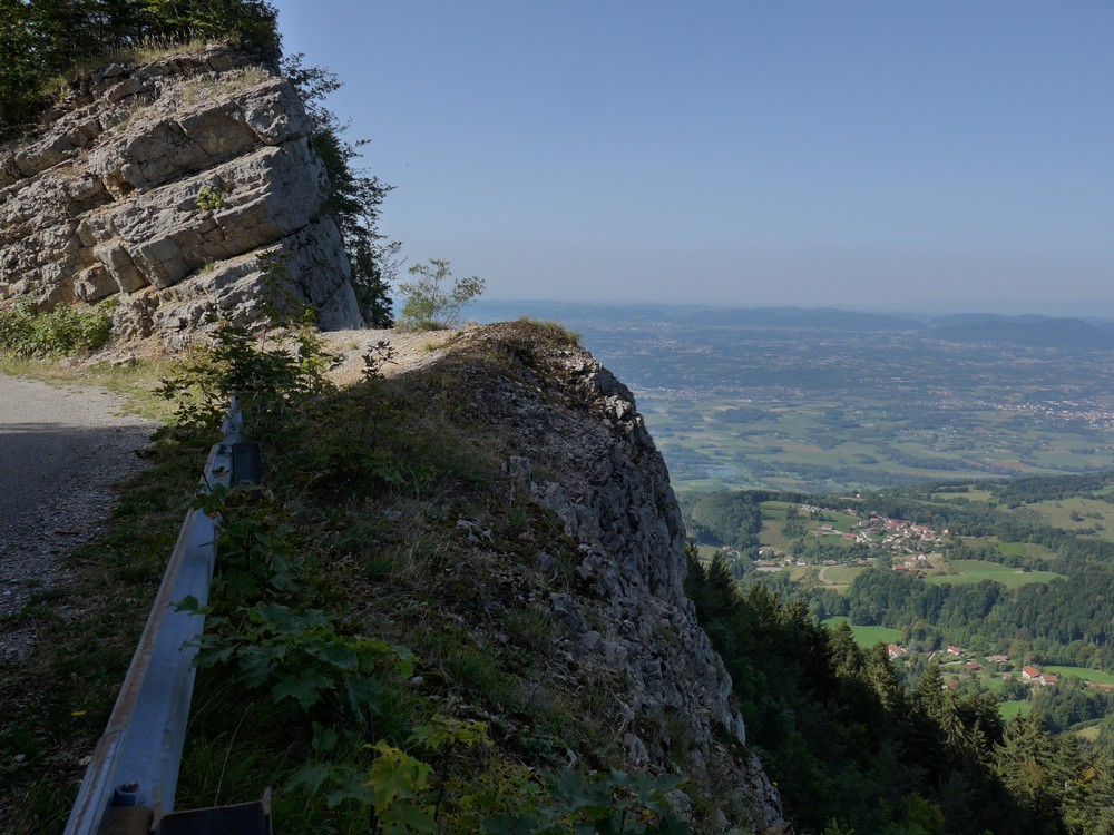
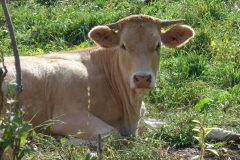
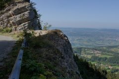
It was fairly easy to dodge the holes. During this section, I was frequently plagued by flies. Maybe there were not enough cattle around here to keep them busy. Anyway I tried to emulate a cow by flapping my arms around. It also made me reluctant to stop, as they swarm-in when you do. I was expecting to see the first tunnel around most bends. Sometimes there were cars parked by the side of the road as if the owners had gone walking in the forest. A family on quad bikes went past me in an upward direction. I thought maybe they were heading for the tunnel. But then I saw they had stopped just further up the road, and it looked like they were going into the woods. So still I rode on, looking for this tunnel. More than once I turned a bend to see a load of cars parked by the side of the road and I half expected the tunnel to be there. It was becoming a real slog. At least it was cooler now, at this altitude. Around one bend, the road opened out to a spectacular view.
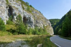
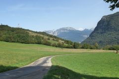
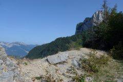
The road had come out of the forest and was on the edge of the mountain.
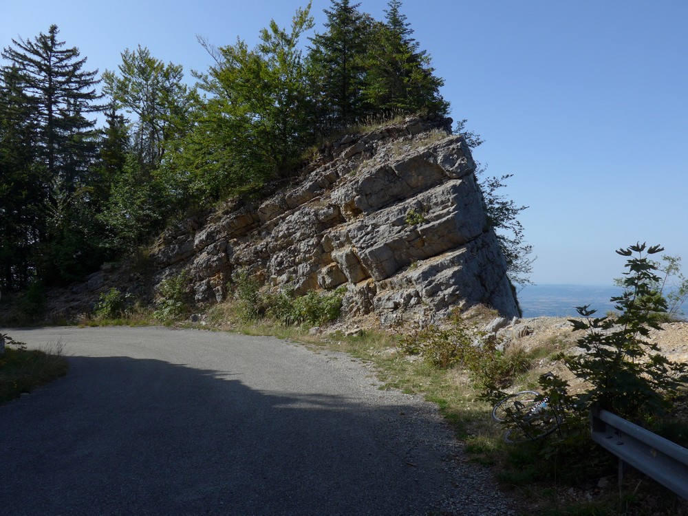
At one point I was going to climb on some rocks to get a photo…
… when I thought I’d better check what was on the other side first, so I walked up a bit
… and looked over
Yeah, it was a good job I’d checked first! As I was getting back on my bike another cyclist was approaching. I asked him if he was going towards the tunnel. He said he was. We rode on together and got chatting. He knew the area very well and assured me that there was only one tunnel, the Tunnel Mortier. That really baffled me but I believed him because he had so much knowledge of everything else to do with the Vercors. Nearly every place I mentioned he knew about. He joked that if I was out bagging tunnels then I’d be disappointed because I’d only score one today! I was reminded of that Monty Python sketch with the twin peaks of Kilamanjaro! He also assured me that the tunnel was open and you could freely cycle through it.
We passed a place where parapenters could jump off the mountain – that must be an exhilarating experience.
He gave a running commentary about what was coming up next and how far the tunnel was. He had also seen photos on the internet of when the road surface was really bad and the tunnel impassible, but it seems that someone has done a pretty good tidying-up job of the road and the tunnel itself.
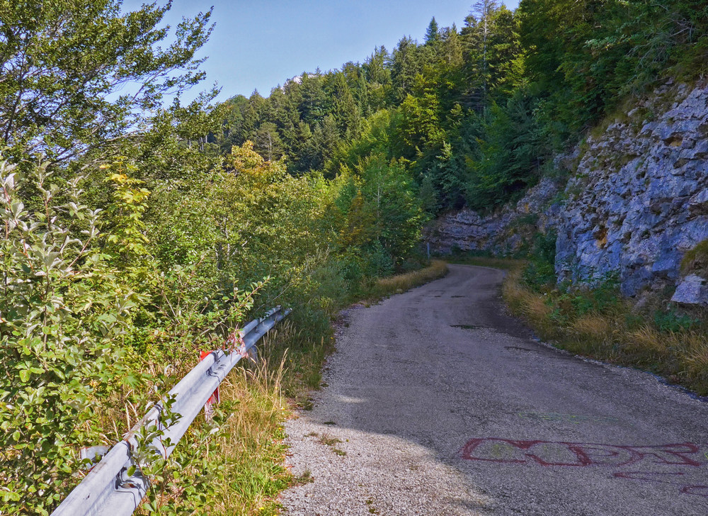
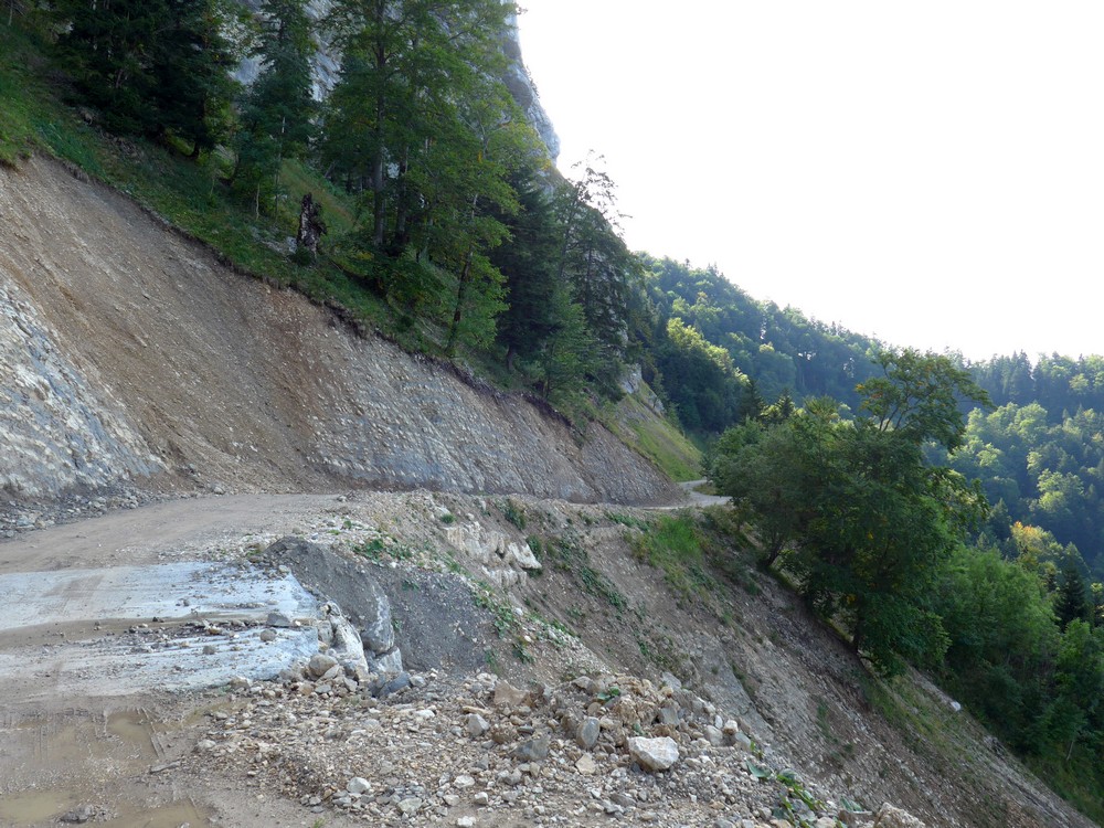
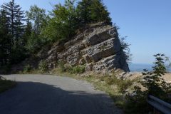
His name was Augustin and he was from Luxembourg, staying with friends in Autrans. We both revelled at the amazing scenery. The road surface wasn’t too bad but quite gravely and rocky
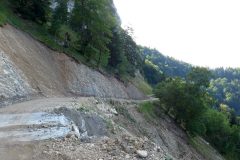
We made our way past where the landslide had happened …
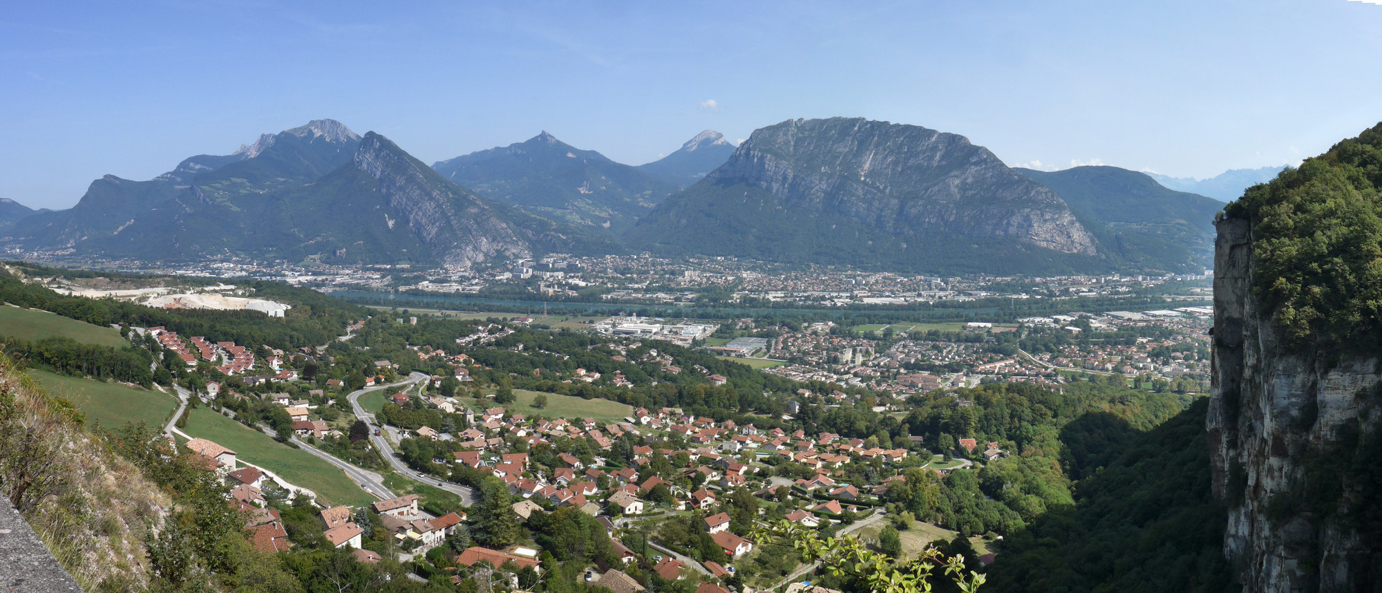
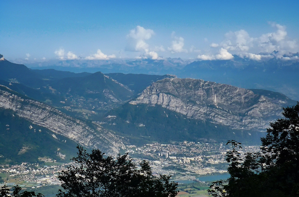
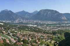
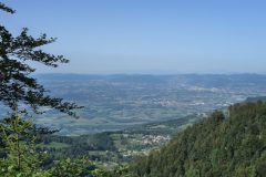
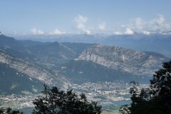
… and paused at the entrance to the tunnel to take in the glorious view of Saint Egrèves and the Isère river.
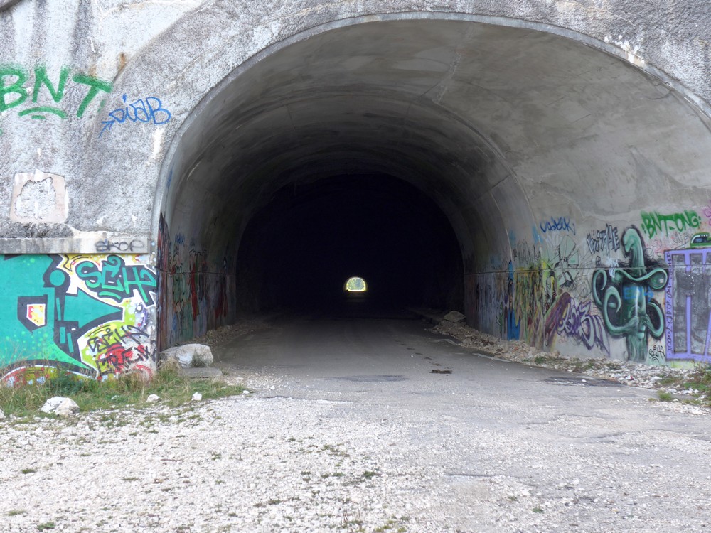
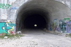
Through le Tunnel Mortier, which was pretty cold inside, we then started the long descent towards Autrans …
… during which we bid each other adieu, as he turned off towards his friends’ house, after we’d been riding together for about 50 minutes. So Augustin, if you’re reading this, thanks for your company and all your advice. I wish you well in your cycling adventures.
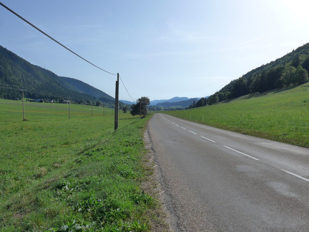
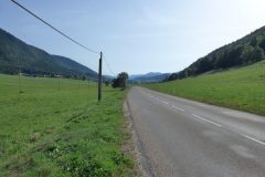
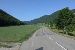
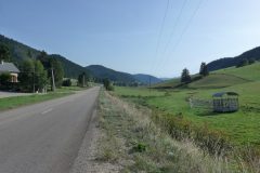
I continued the lovely descent through the valley towards Autrans
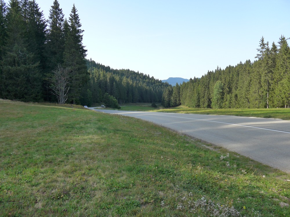
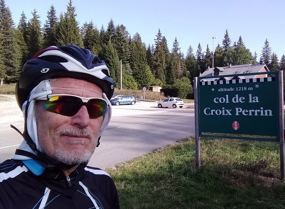
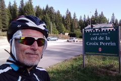
where the route headed off through a fairly easy three-mile climb to Col de la Croix Perrin.
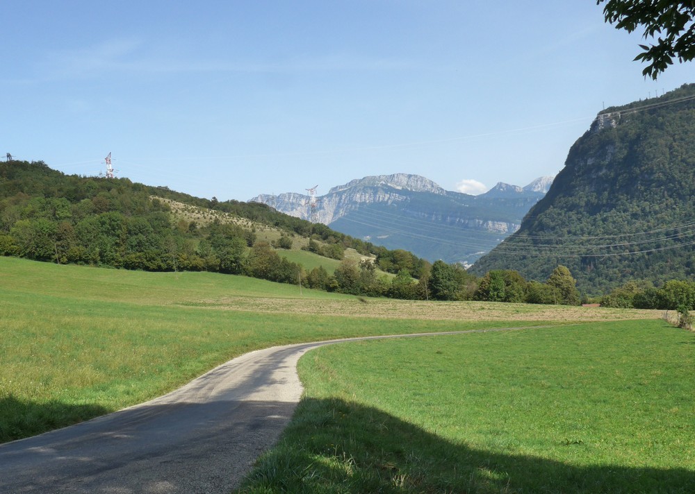
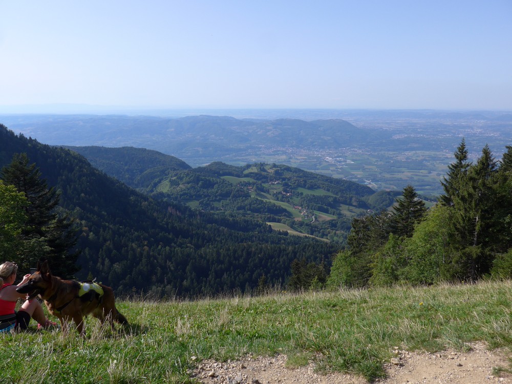
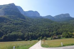
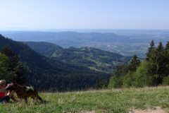
Then it was just three miles of downhill back to my van, including beautiful views over Lans-en-Vercors.
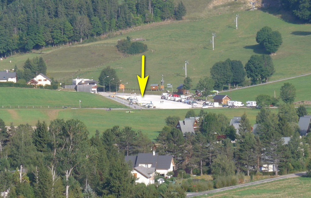
When I got back I felt pretty rough. I think it was a combination of the heat, the effort and possibly dehydration. My legs were aching afterwards, so that’s an indication of how much effort had been made. I felt ok shortly afterwards, once I had drunk 2 pints of squash.
So it turned out to be a much more straightforward ride than I had expected. That was really weird about the non-existent tunnel – I must have confused myself during all the research – worrying! It was a great ride though. Another bit of the Vercors ticked off my list.
Addendum
As will be apparent from Luke’s comments below, there has since been another landslide on the Grenoble side of the Tunnel Mortier. Once again the road has been obliterated, so this route is not now possible by bike, unless you want to include some rock-climbing!
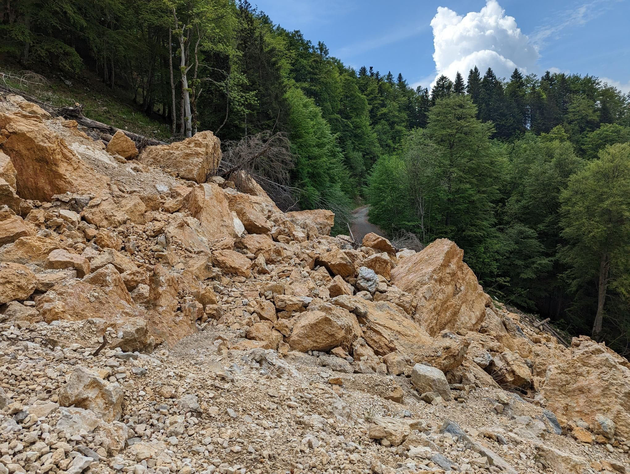
I’ve also found some detailed history and information about this and previous landslides on this road in an excellent article here:
alpes4ever article about the landslide
Gallery
Click to enlarge / see slideshow











Another excellent blog, Vince.
Amazing the adventures you have after a bowl of porridge!
Have you thought about a gravel bike or lightweight hardback mountain bike to broaden your adventures?
Cheers Al.
Yeah, I never have that much fun after muesli…
I’ve certainly thought about 32mm tyres and disc brakes! So maybe a gravel bike. I’ve heard that MTBs can be quite dangerous!
You never know though. There are certainly some excellent forest tracks around here.
Vince
Hello.
Thanks for the great info on your site.
For anyone else using this page for info –
We rode the tunnel last week (8 June 2023) and there has been significant rock fall and a landslide that has completely destroyed the road approx. 1 mile from the tunnel. Not passable by bike.
Hi, Thanks for your comment and the useful information for others reading (and me!). I’m sorry you were not able to enjoy the complete route. Hopefully this route might open again one day. I’m surprised they hadn’t closed the tunnel like they have before.
Addendum: after reading your strava post I realise that you climbed over the rockfall with you bikes! Nice one.
We did climb over the rockfall and so were able to ride the tunnel. But it was pretty difficult and dangerous. I would not recommend that anyone tries the same.